






Nebelsteinweg I - No. 20
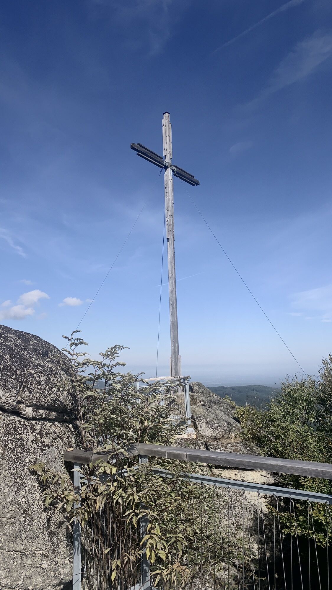
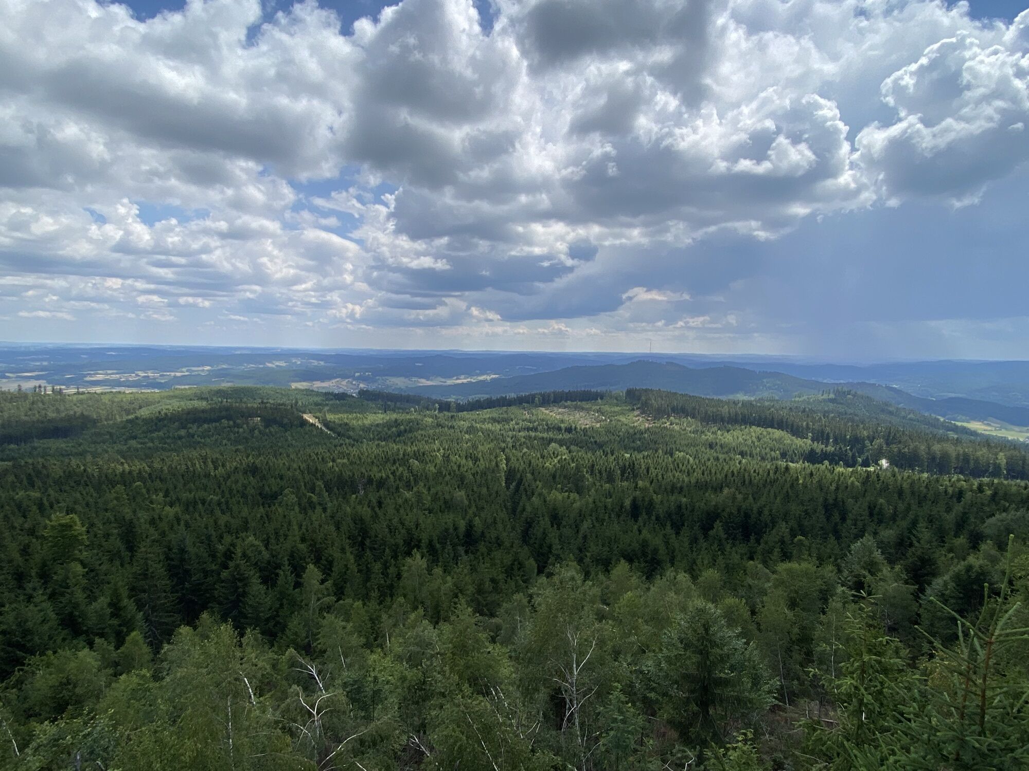
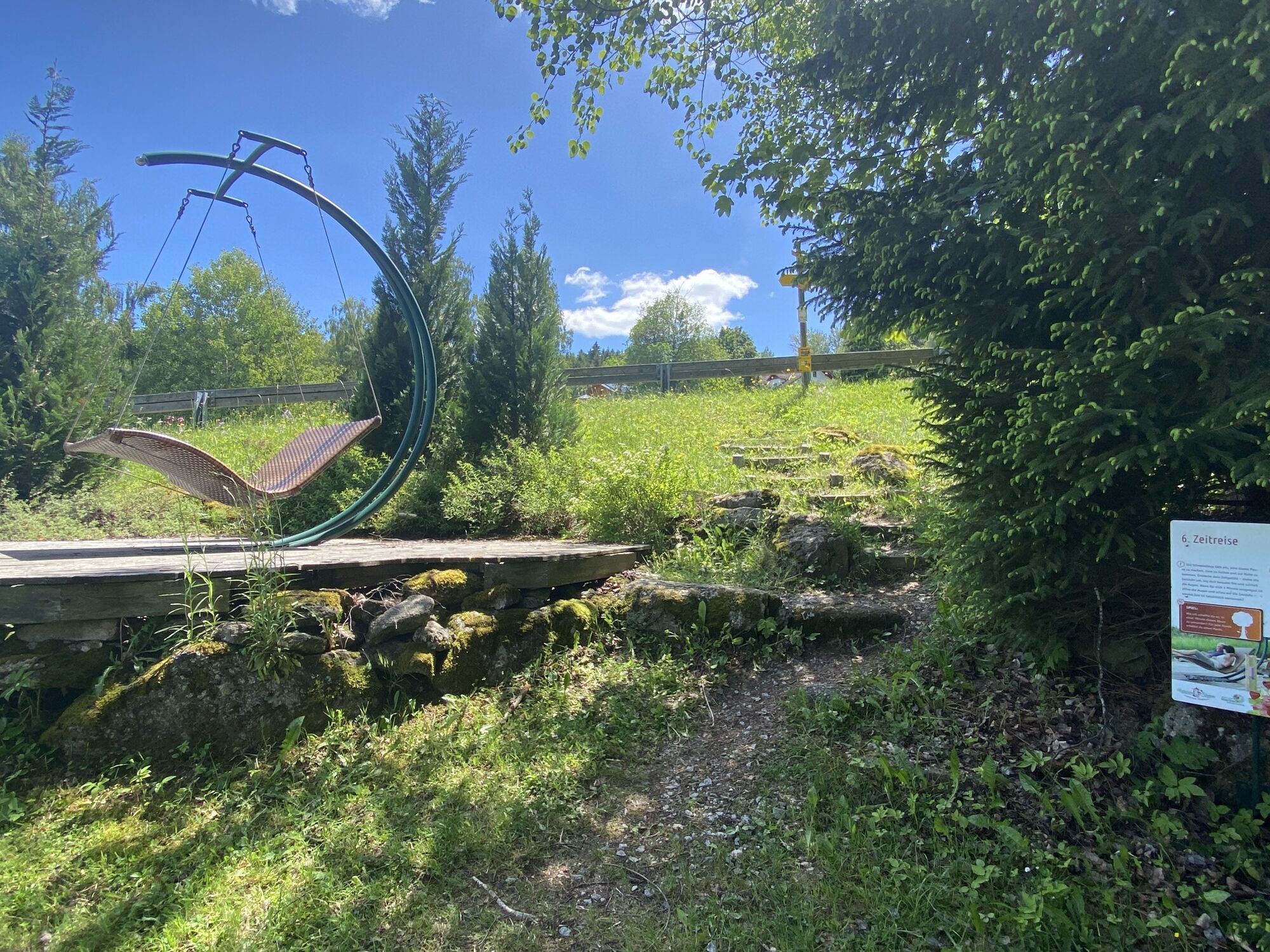
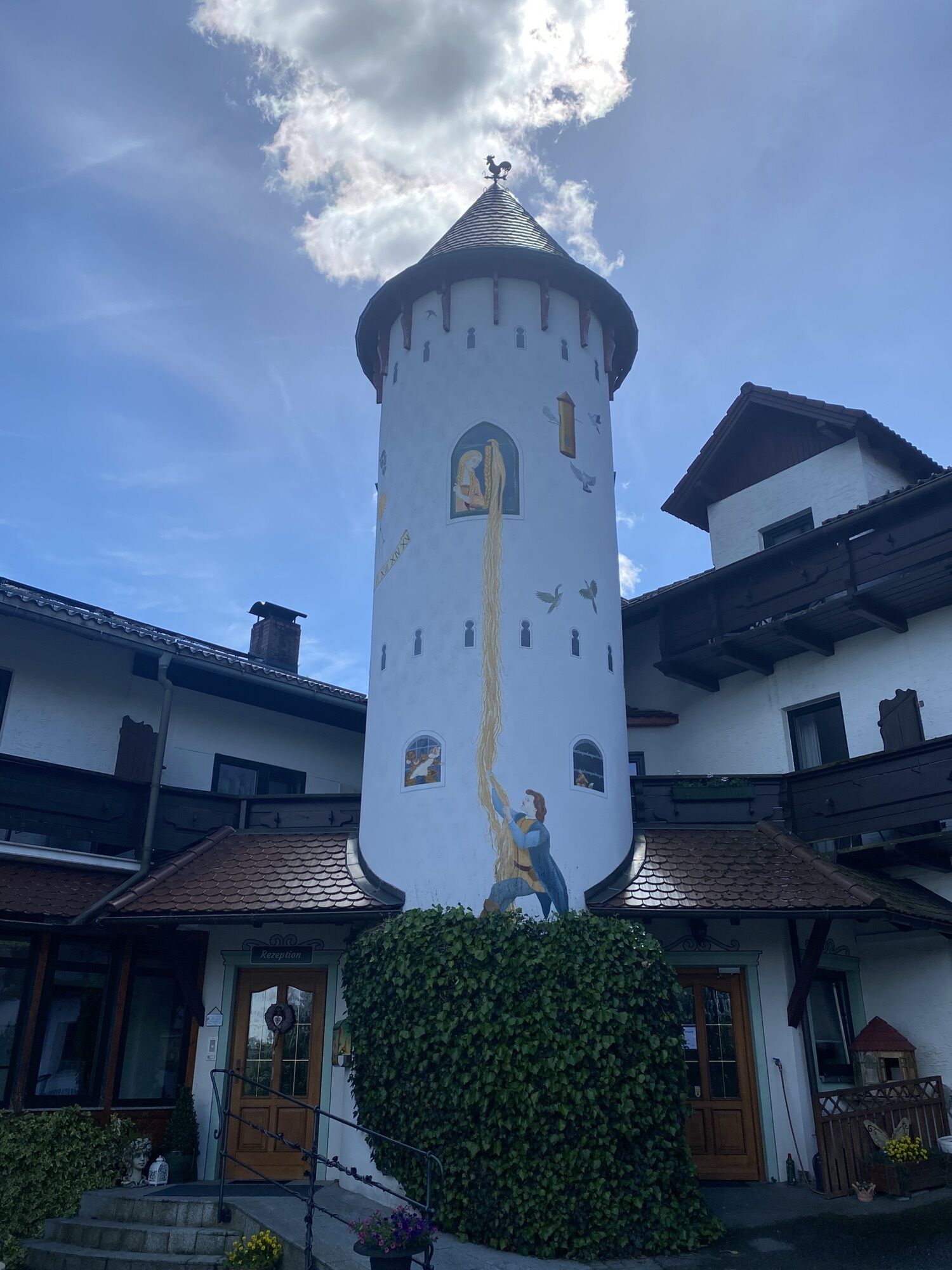
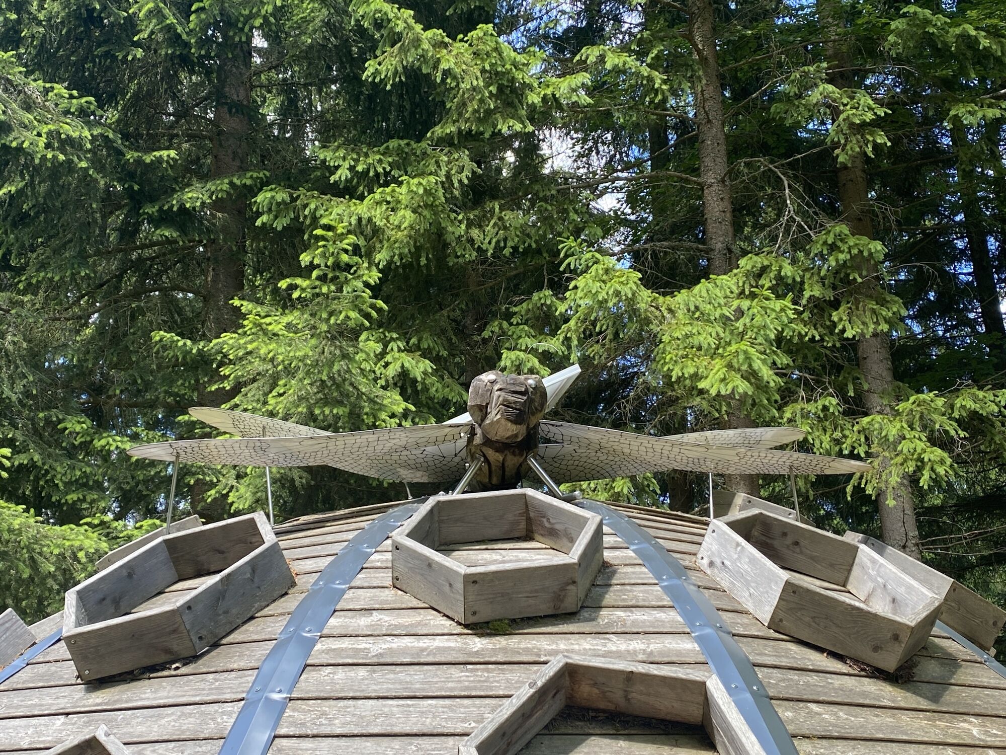
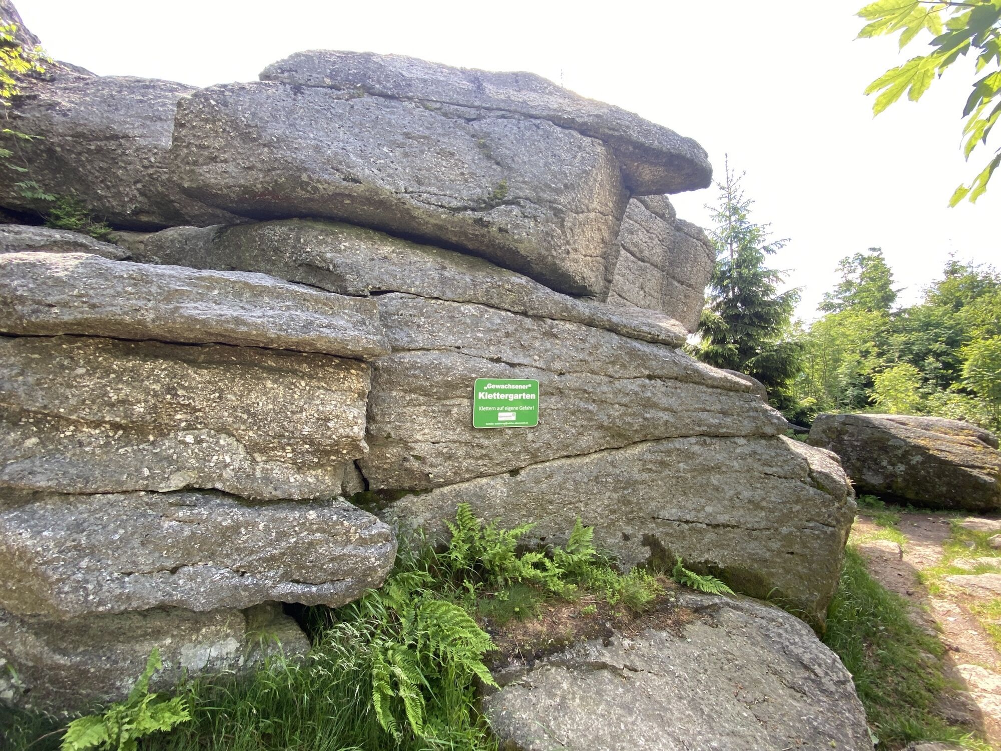
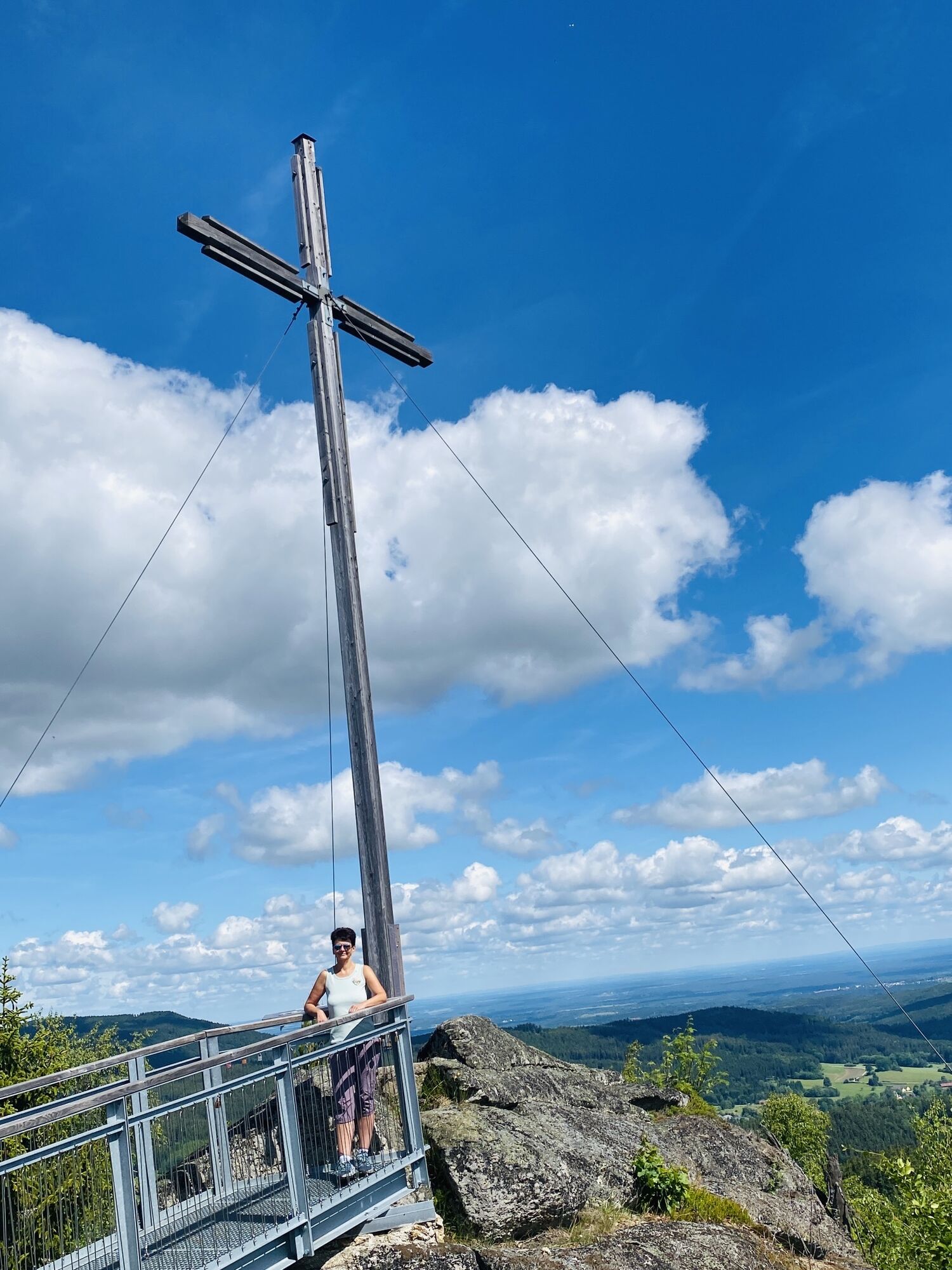
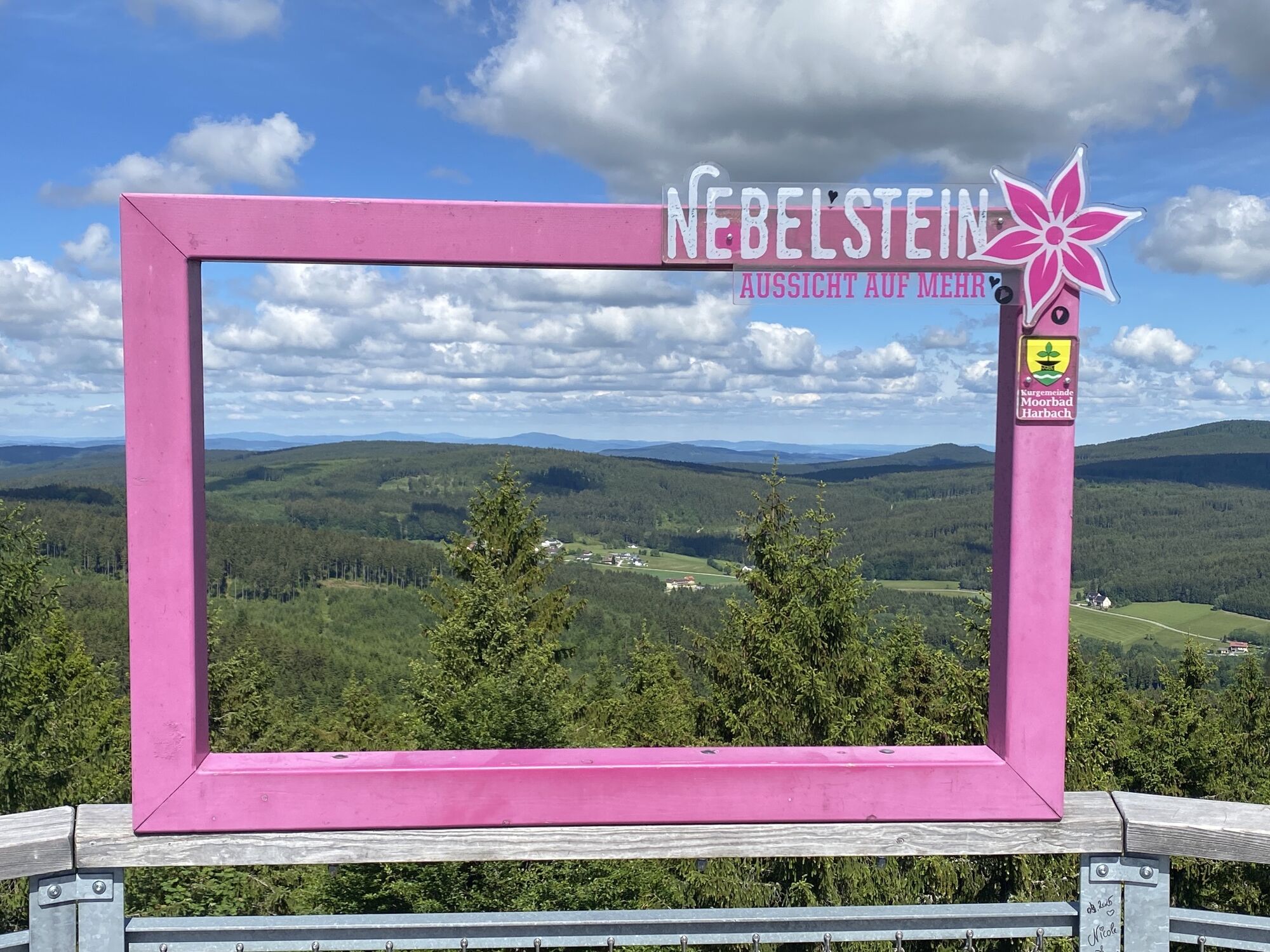
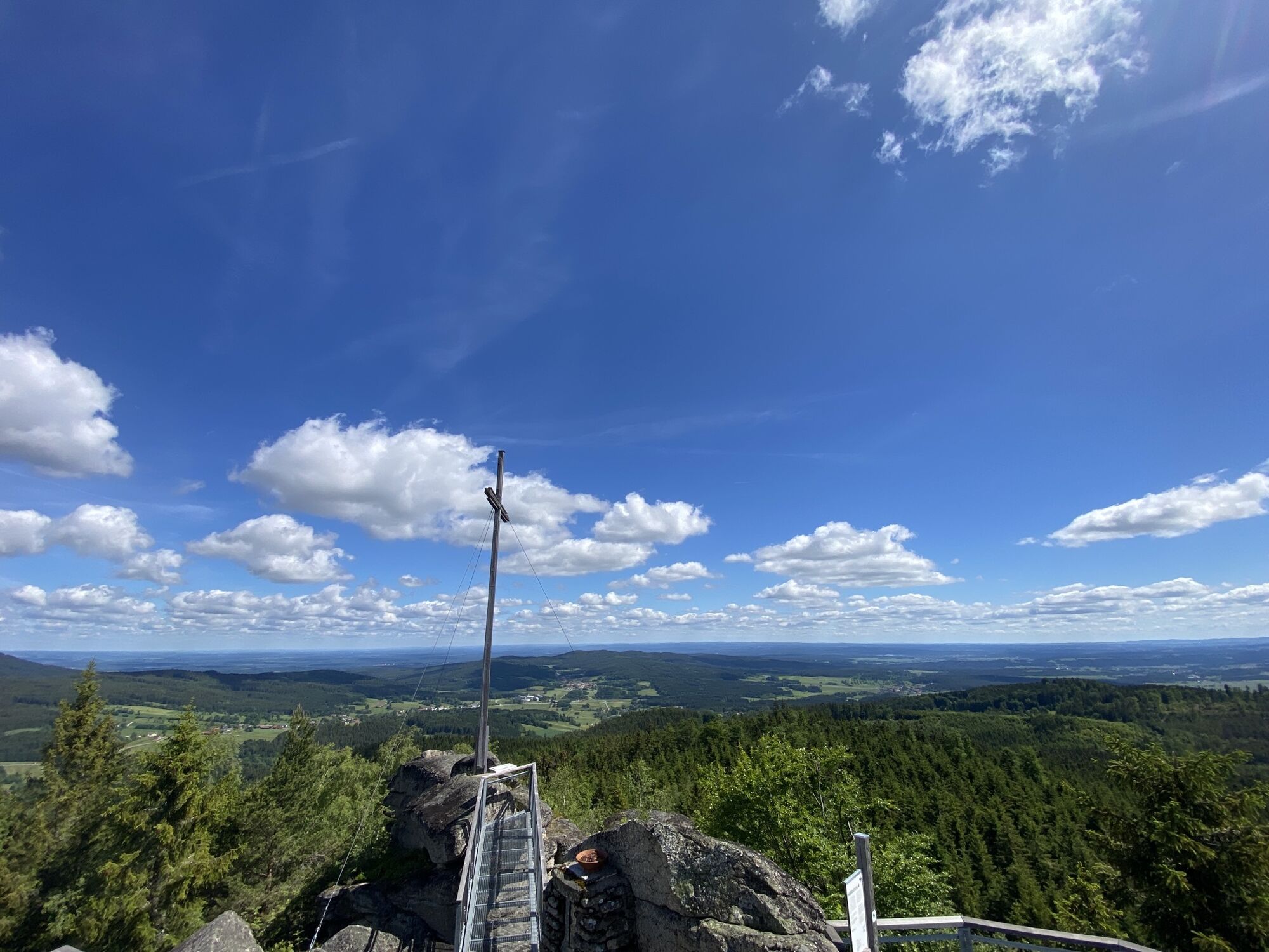
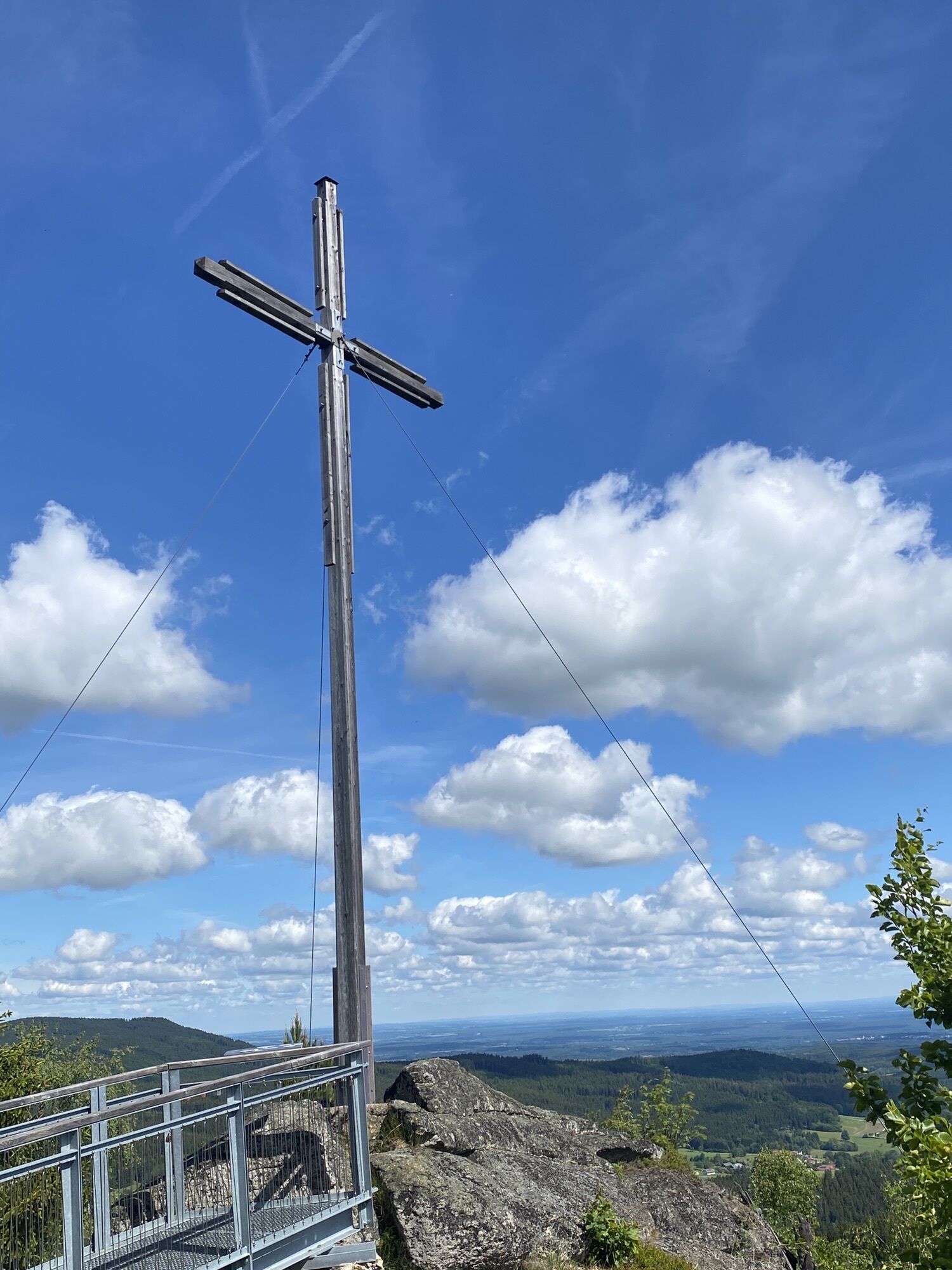
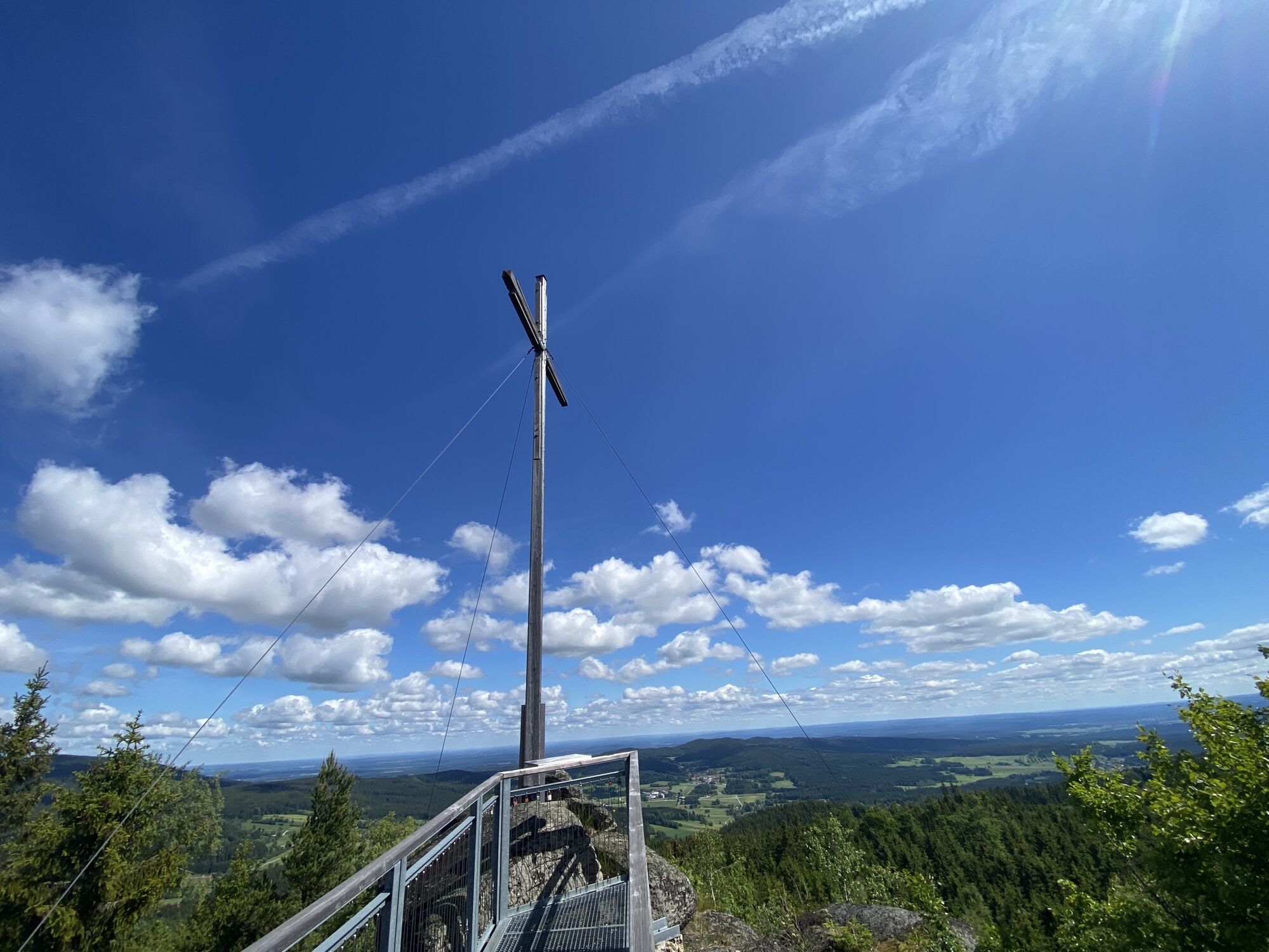
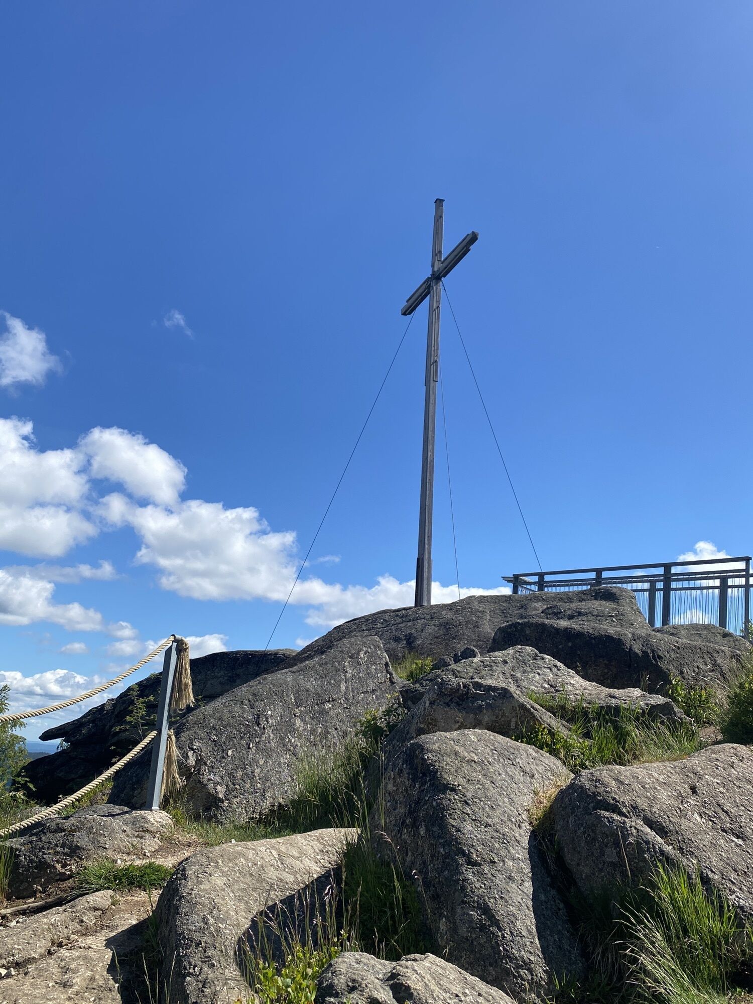
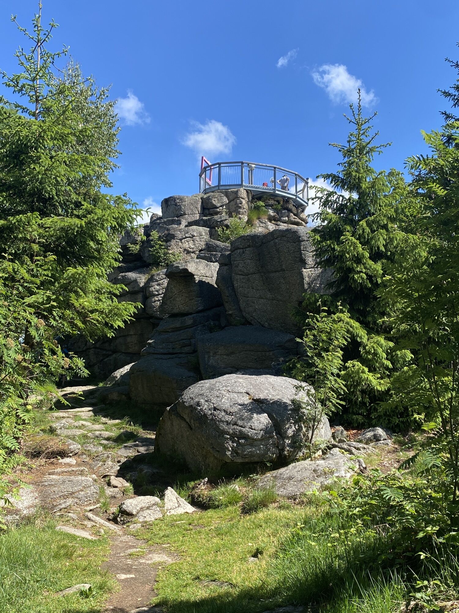
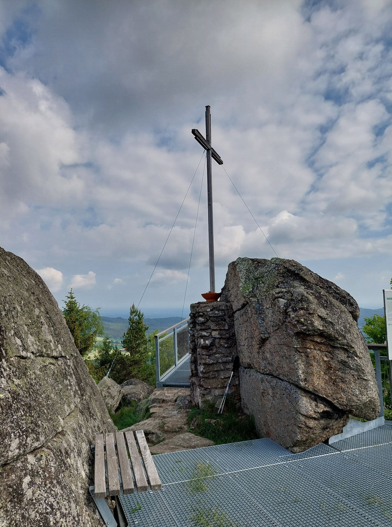
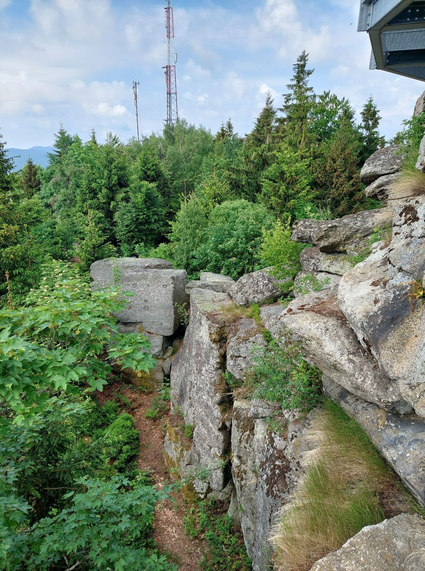
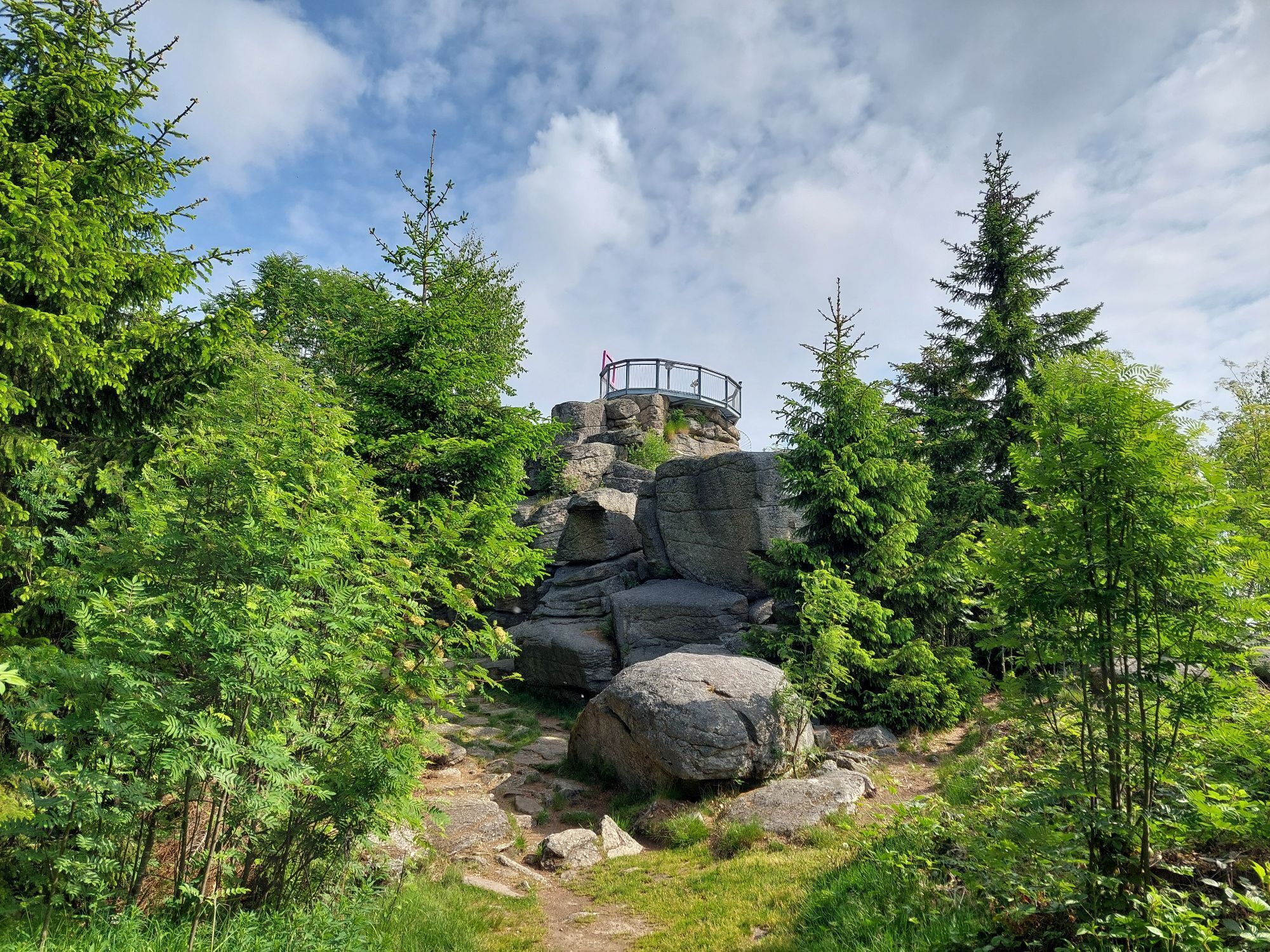
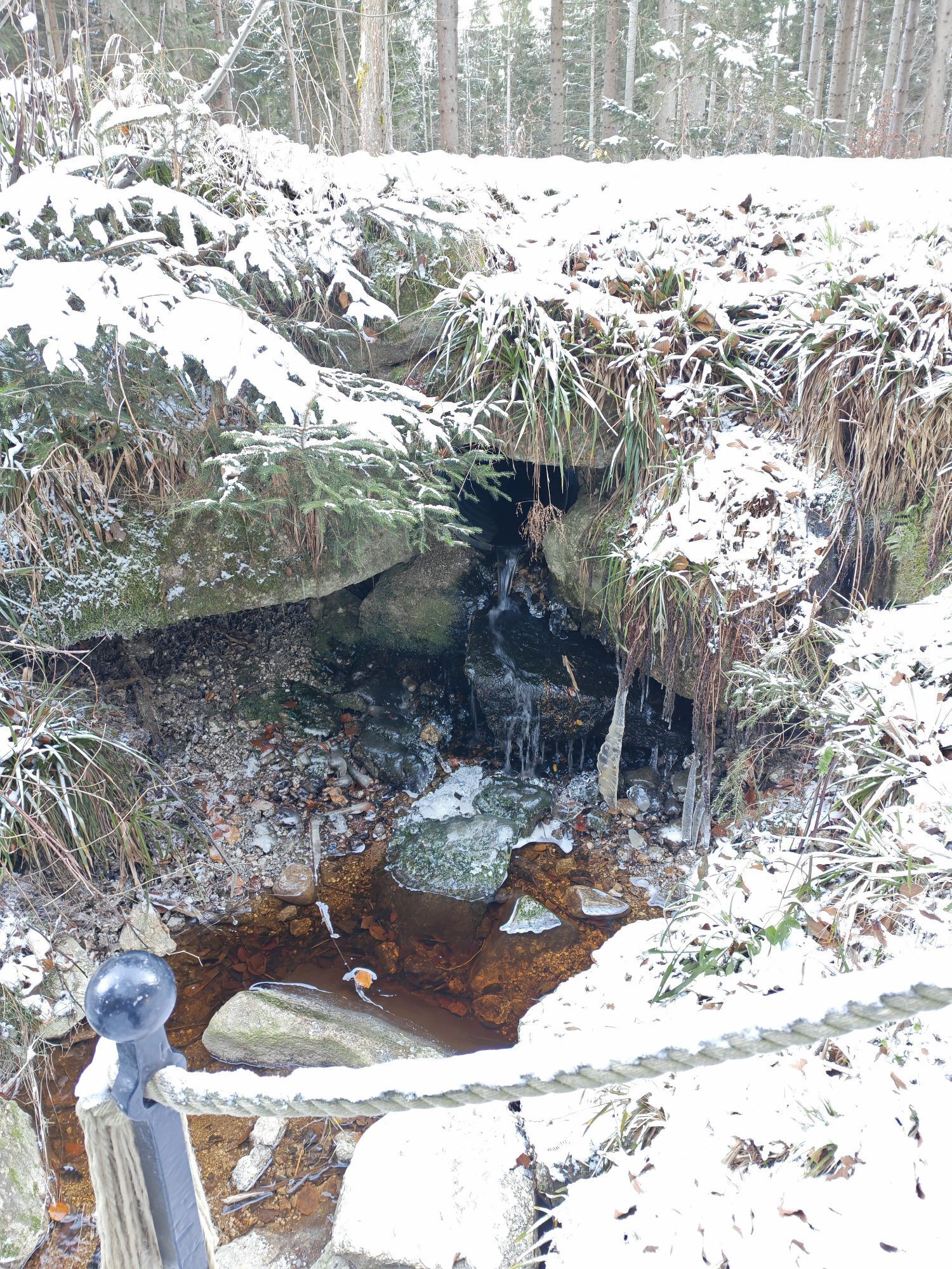

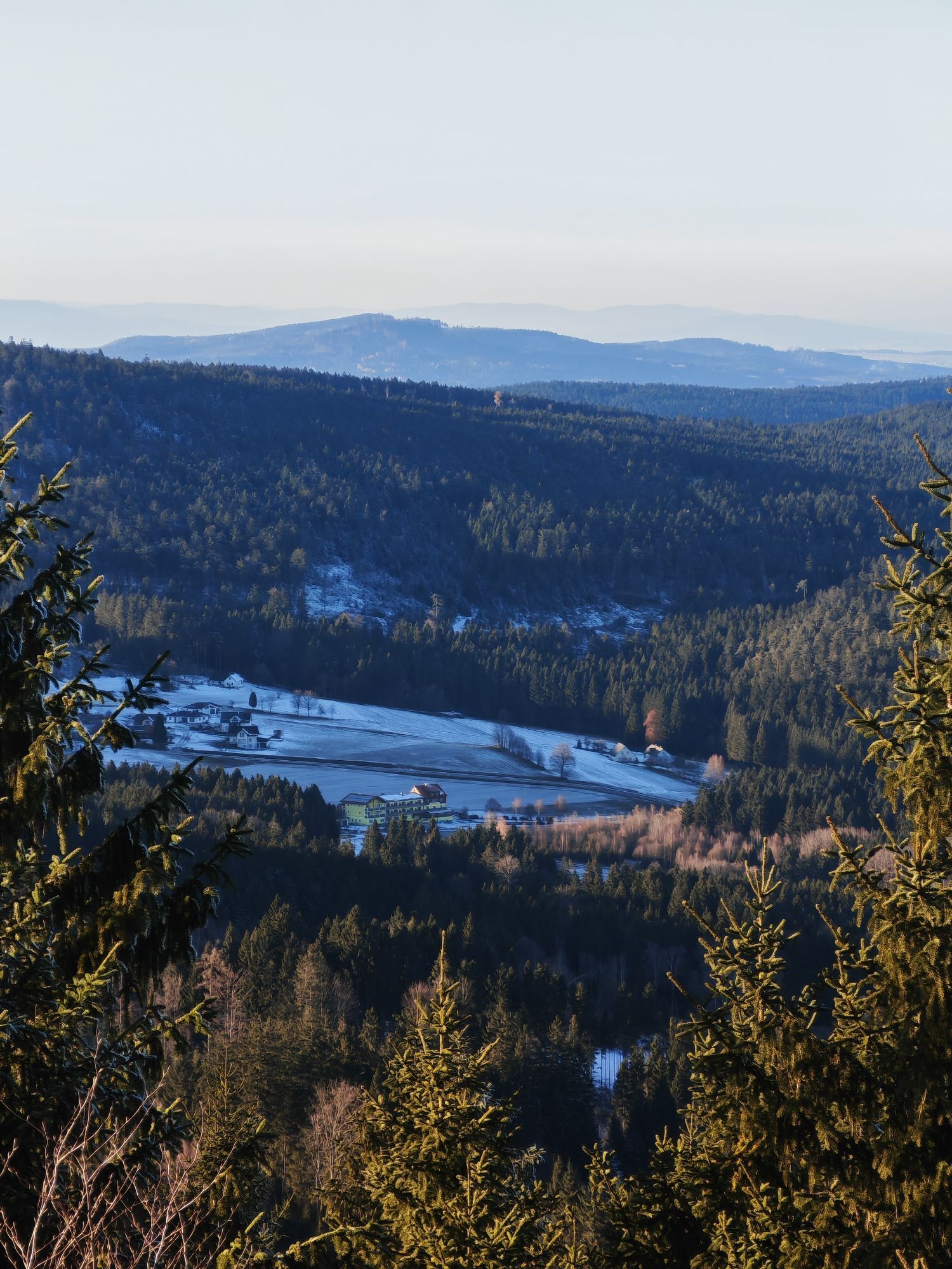
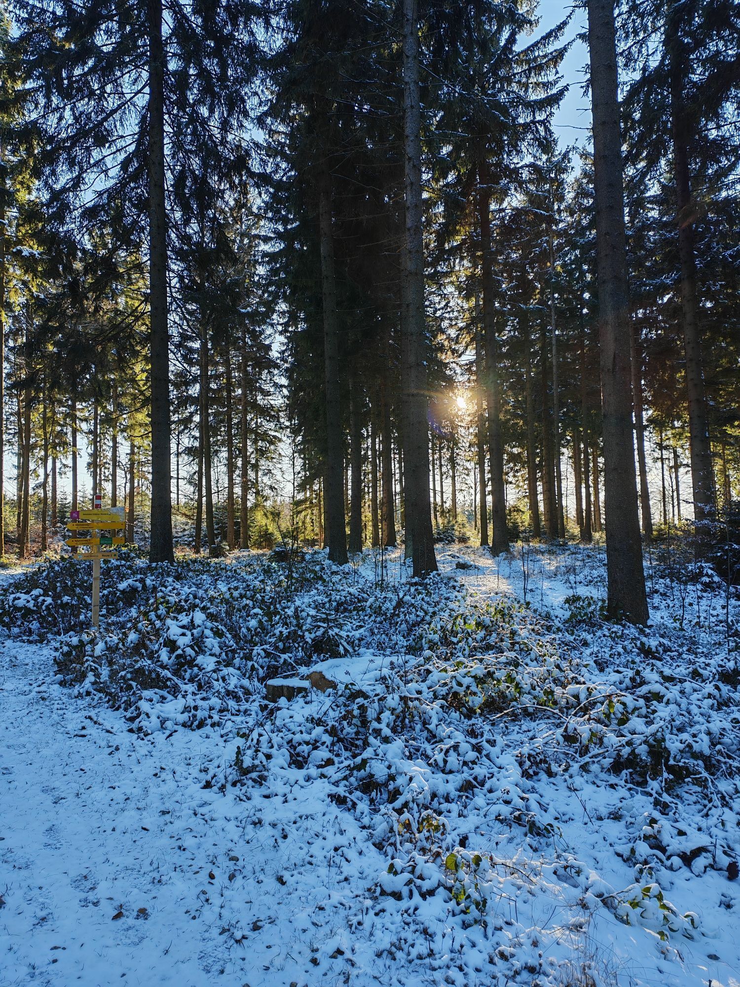
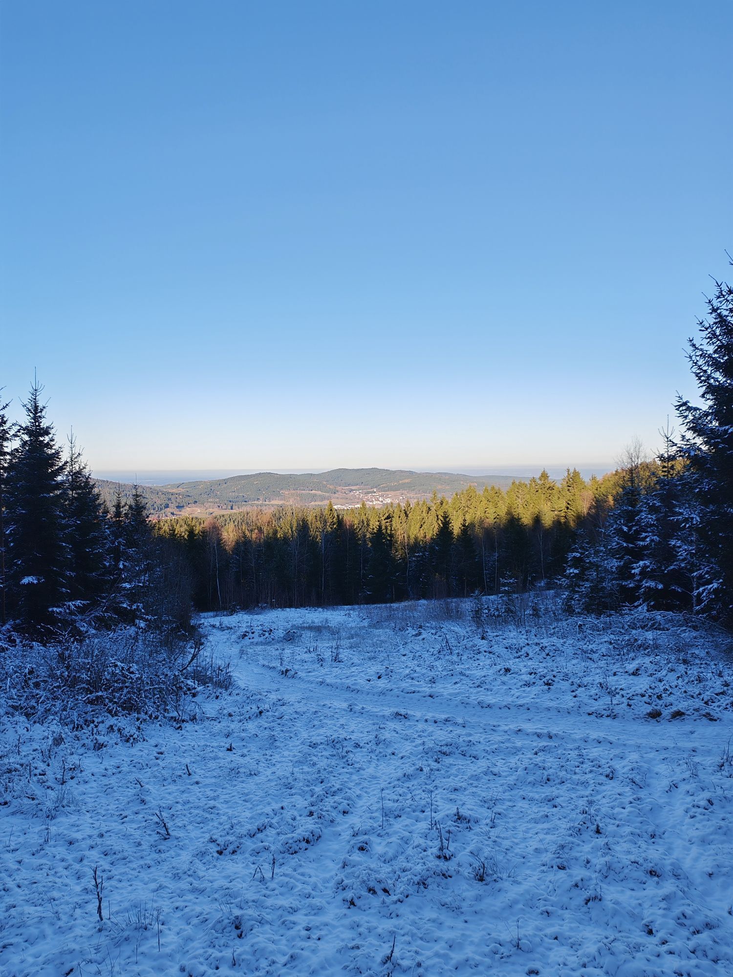
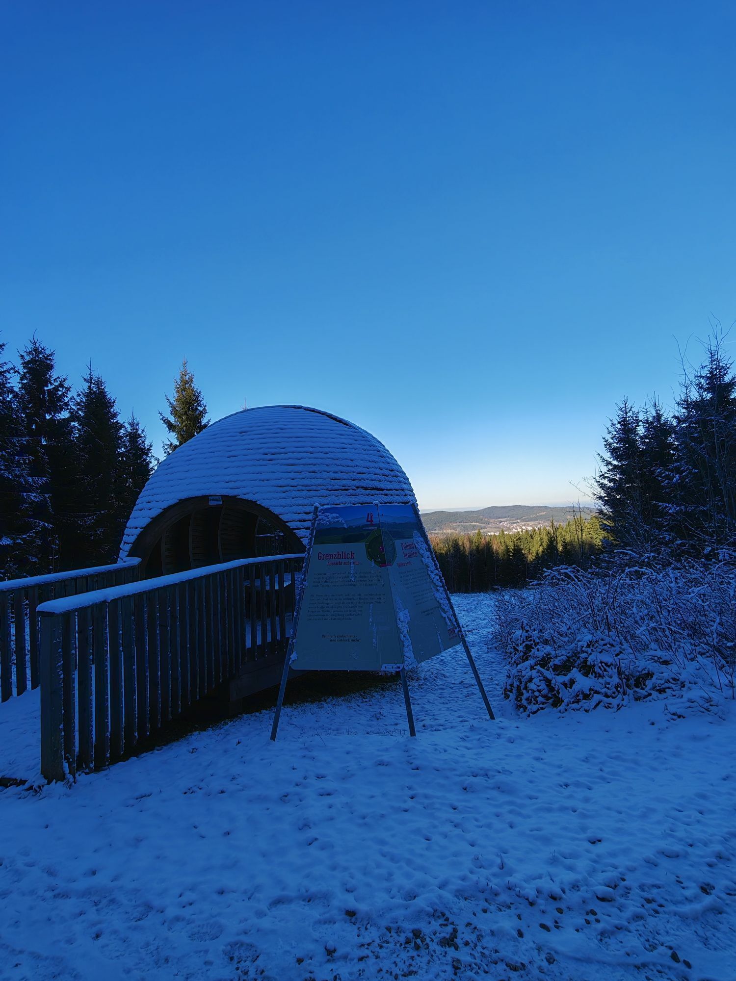
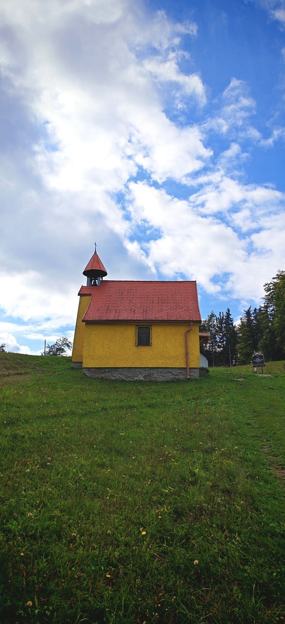
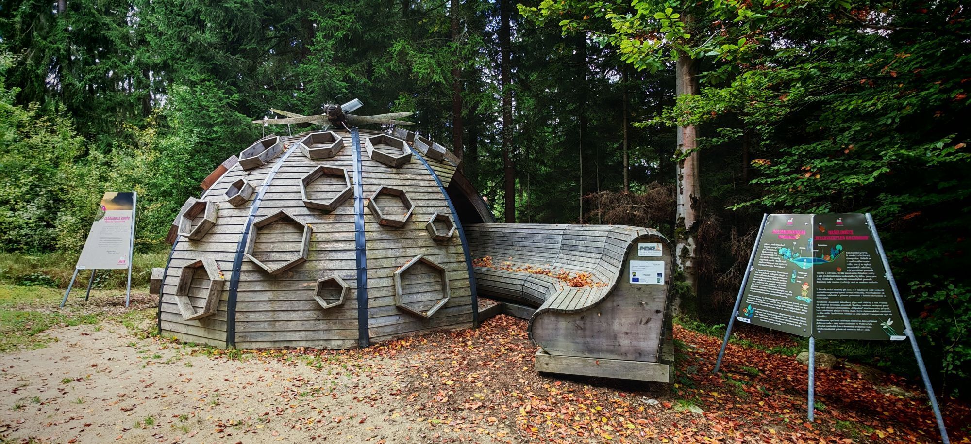
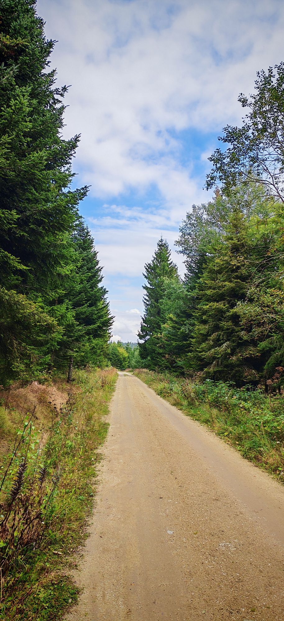
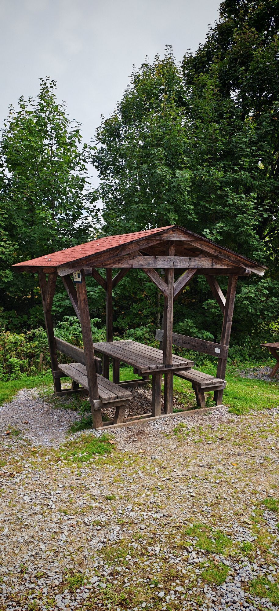
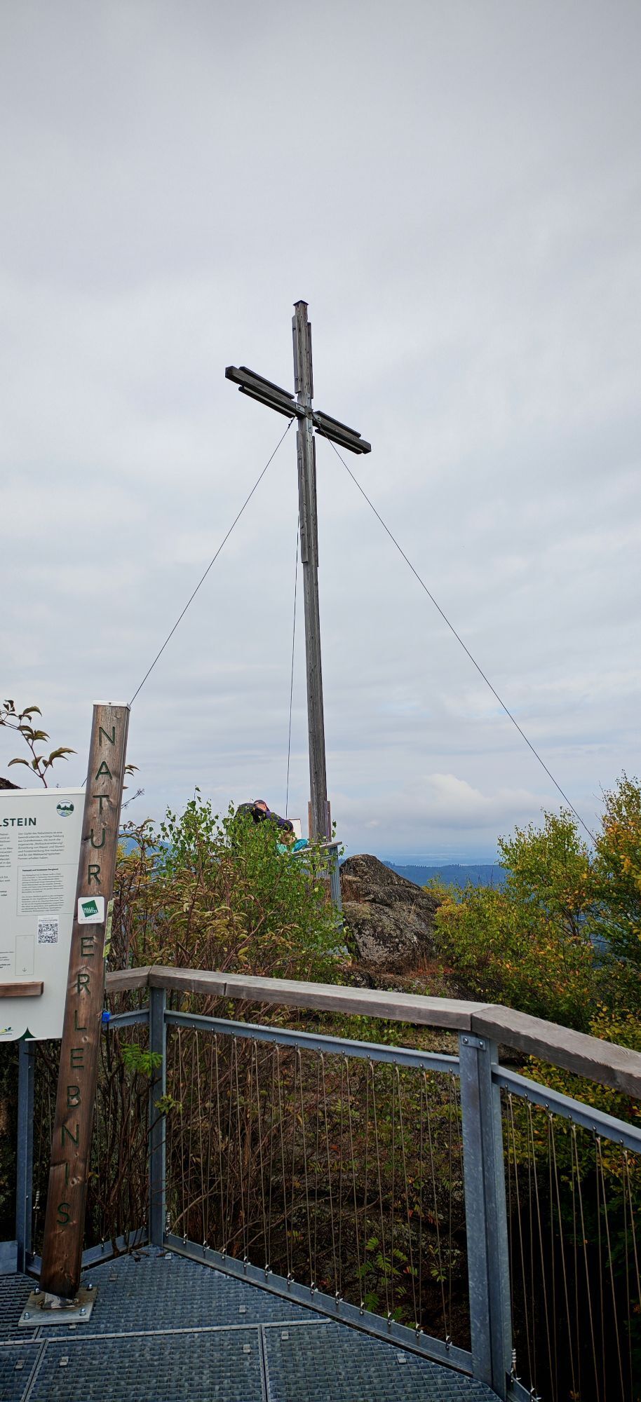
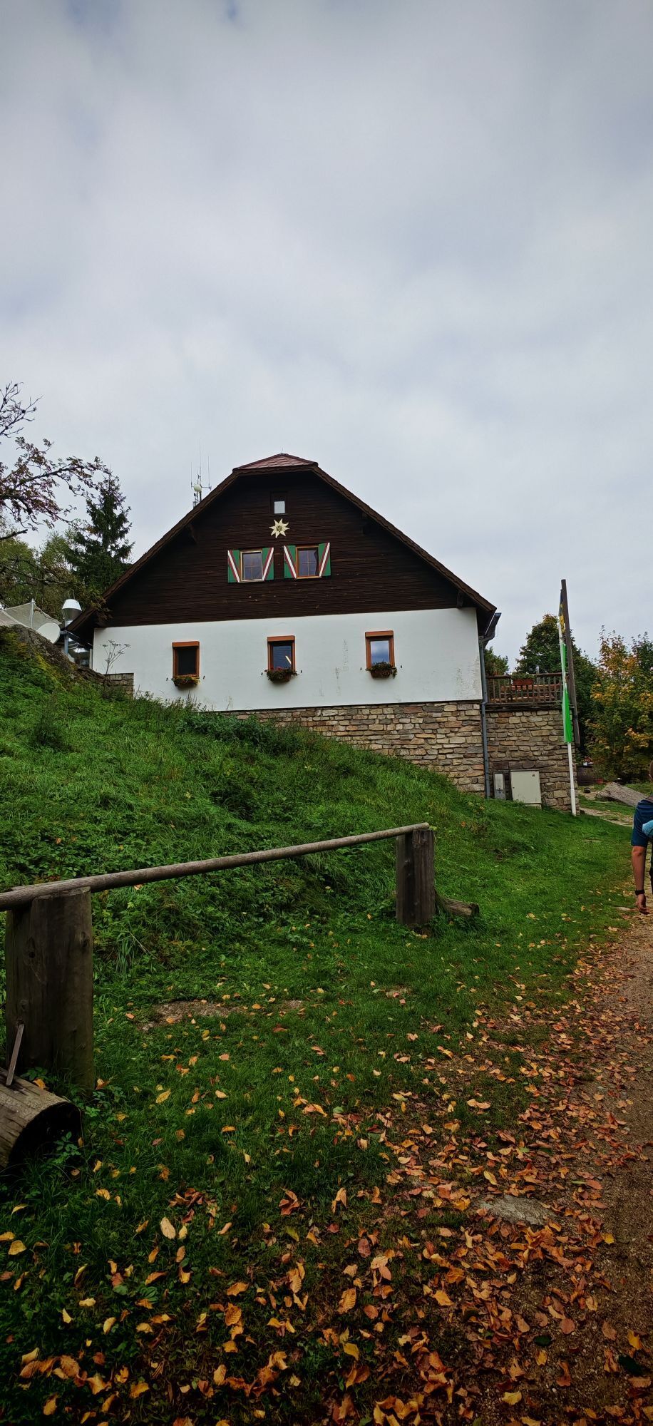
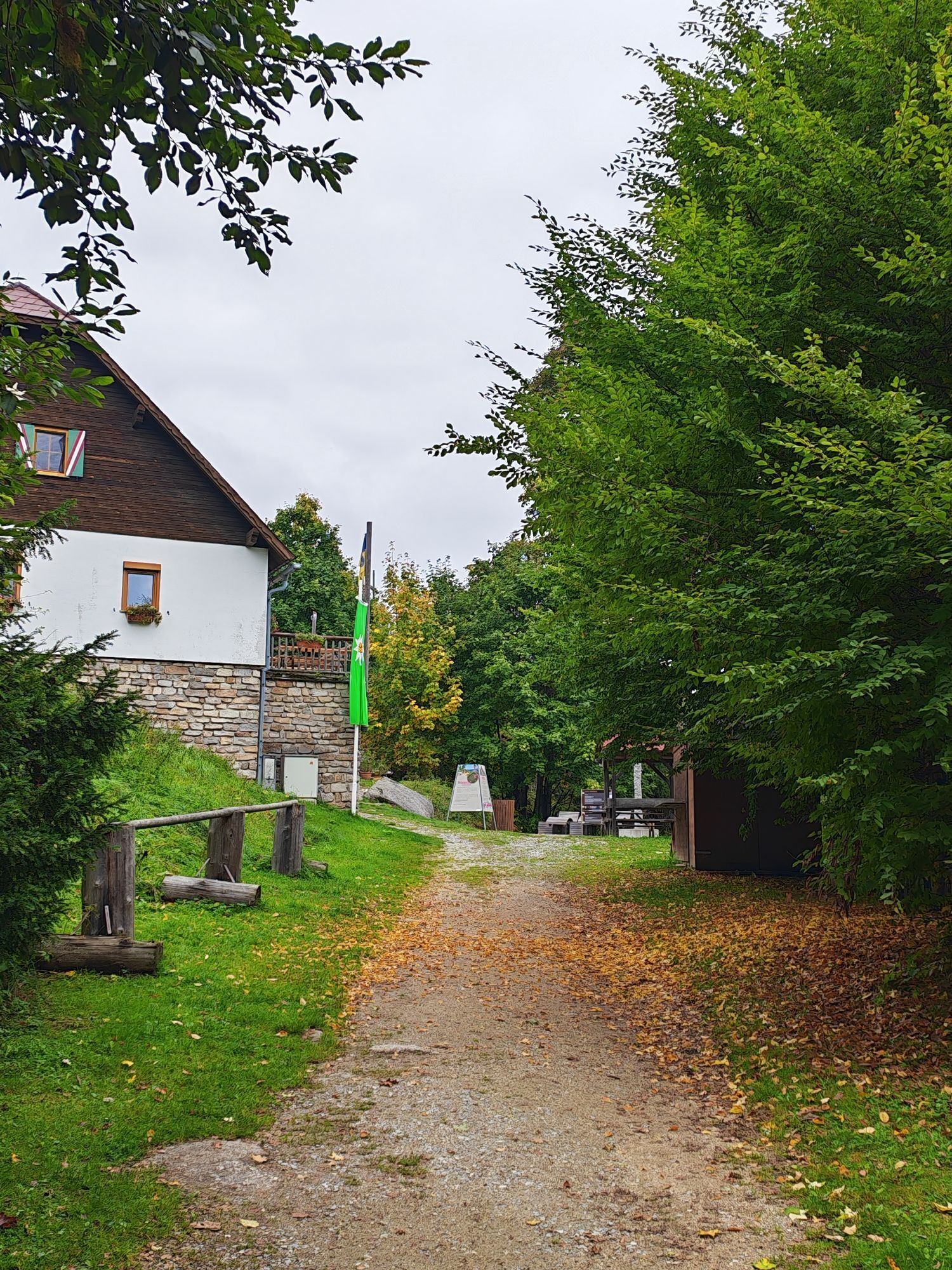
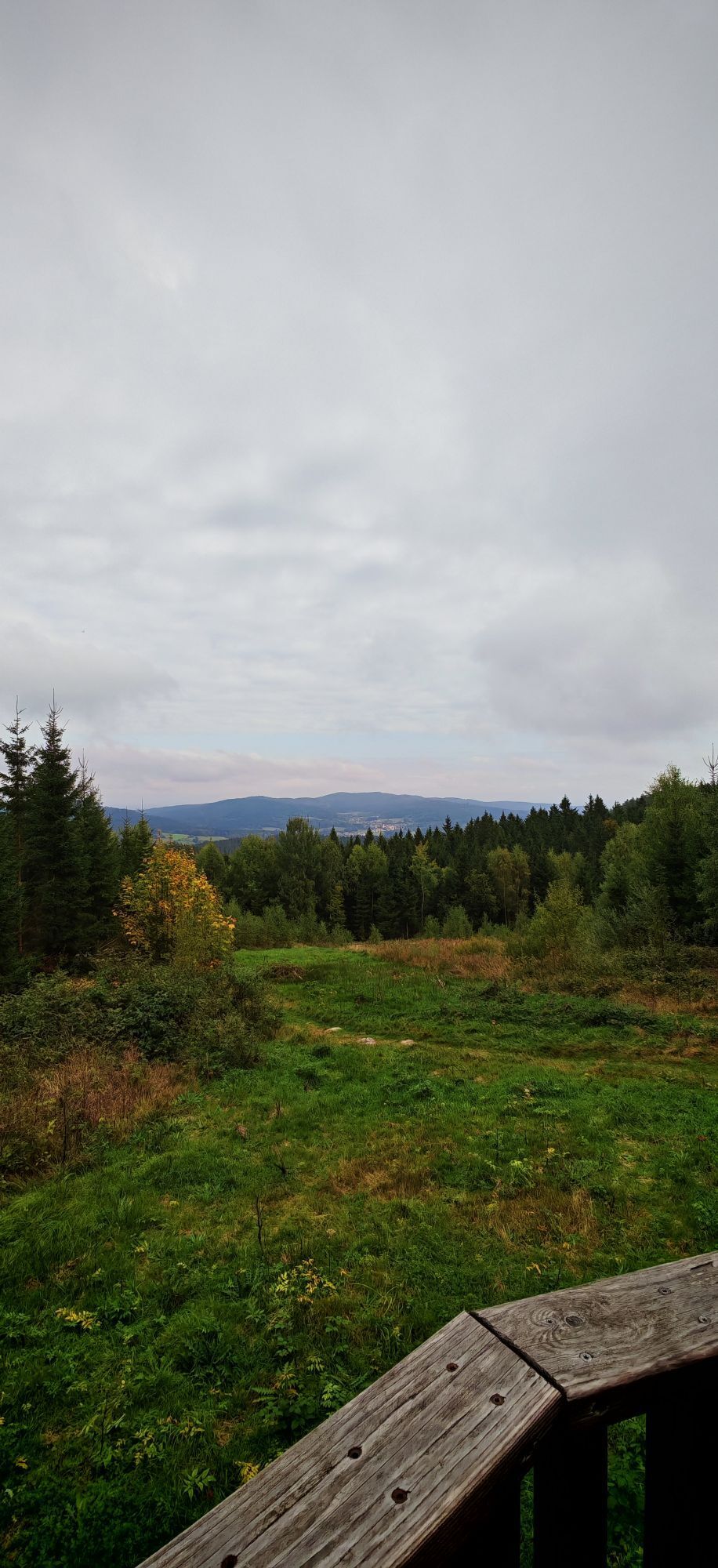
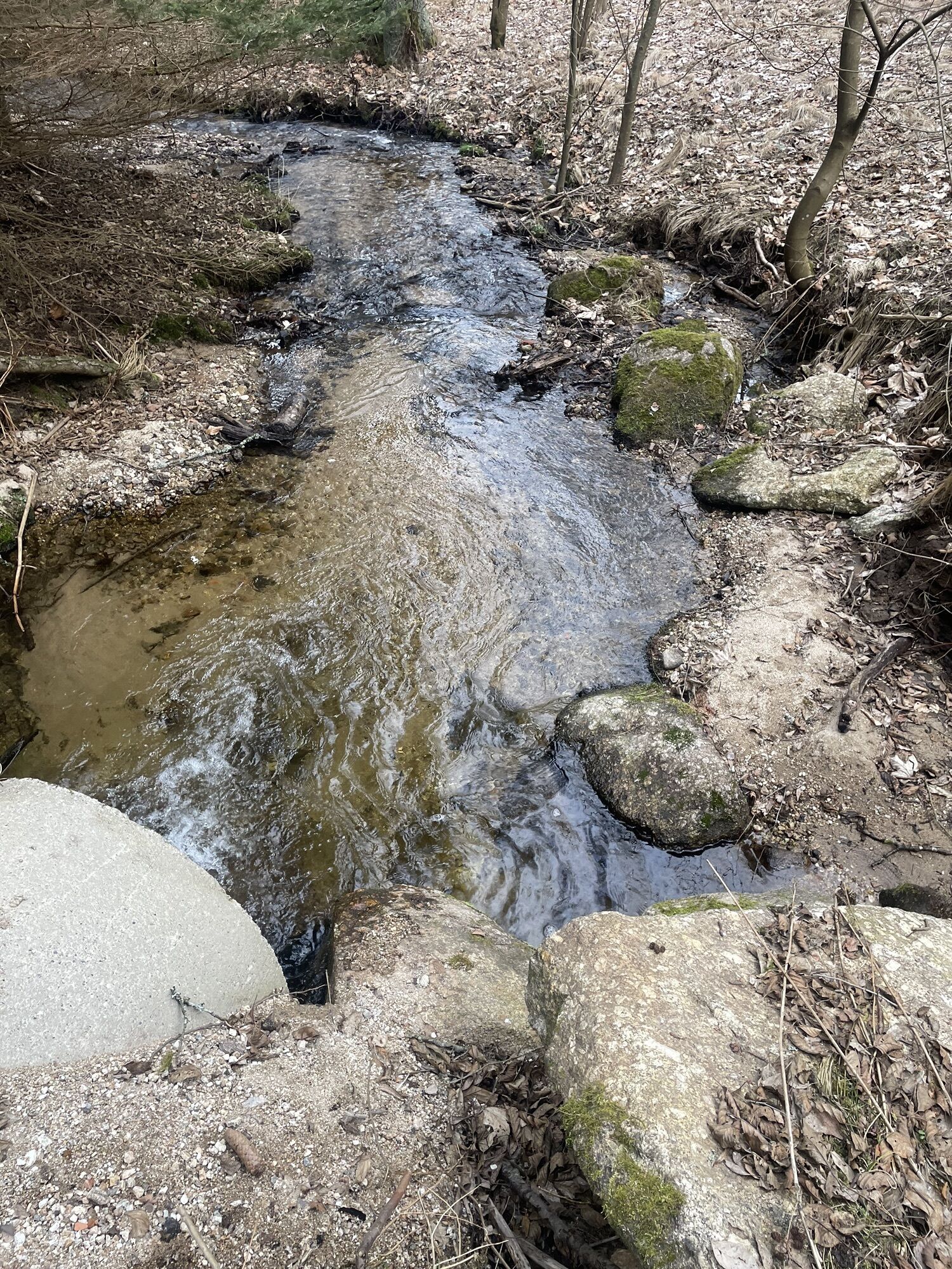
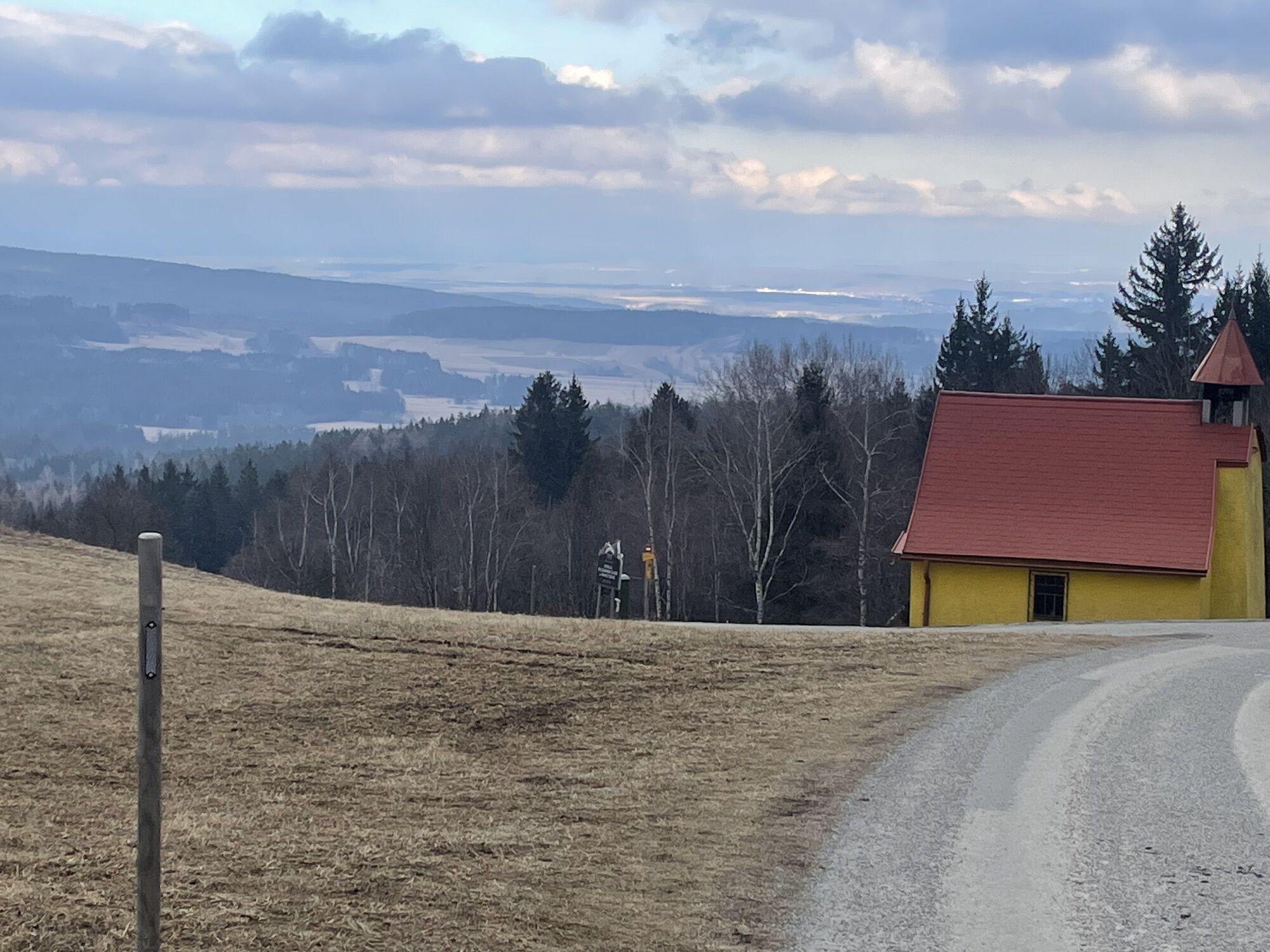
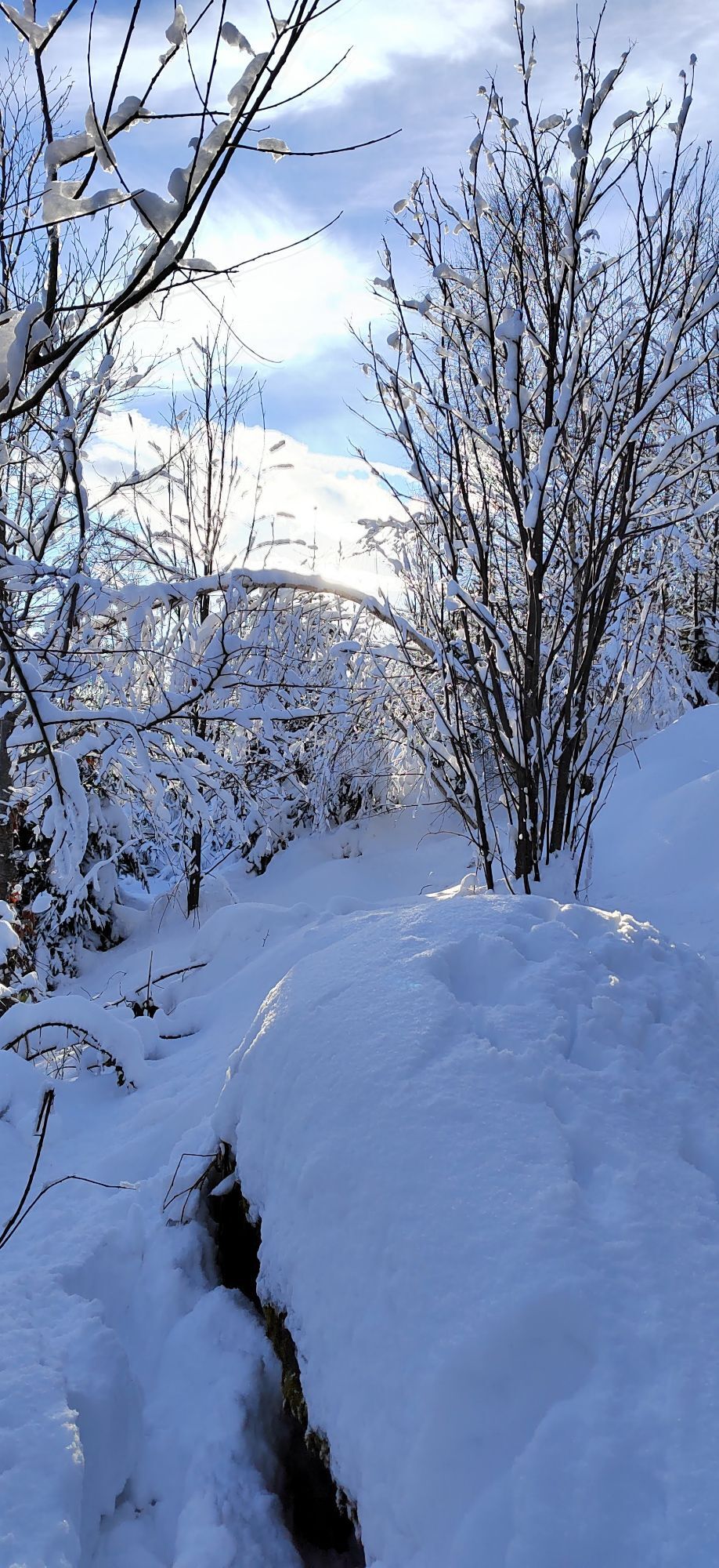
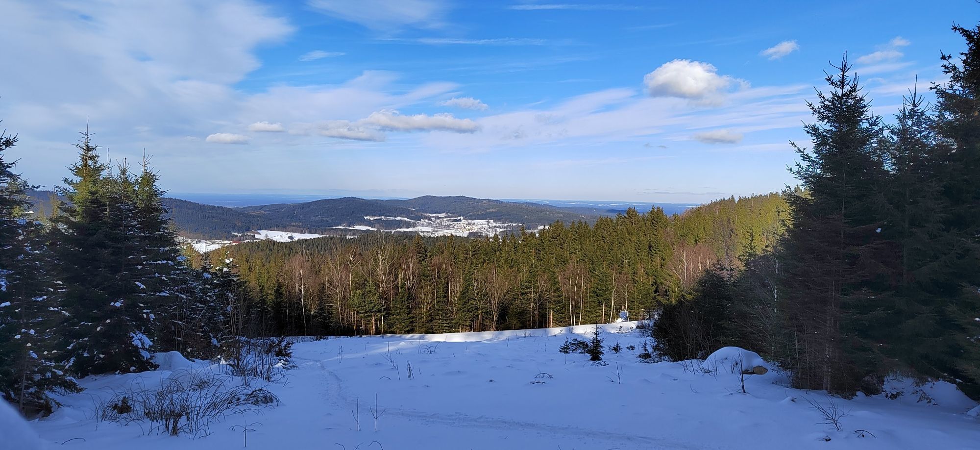
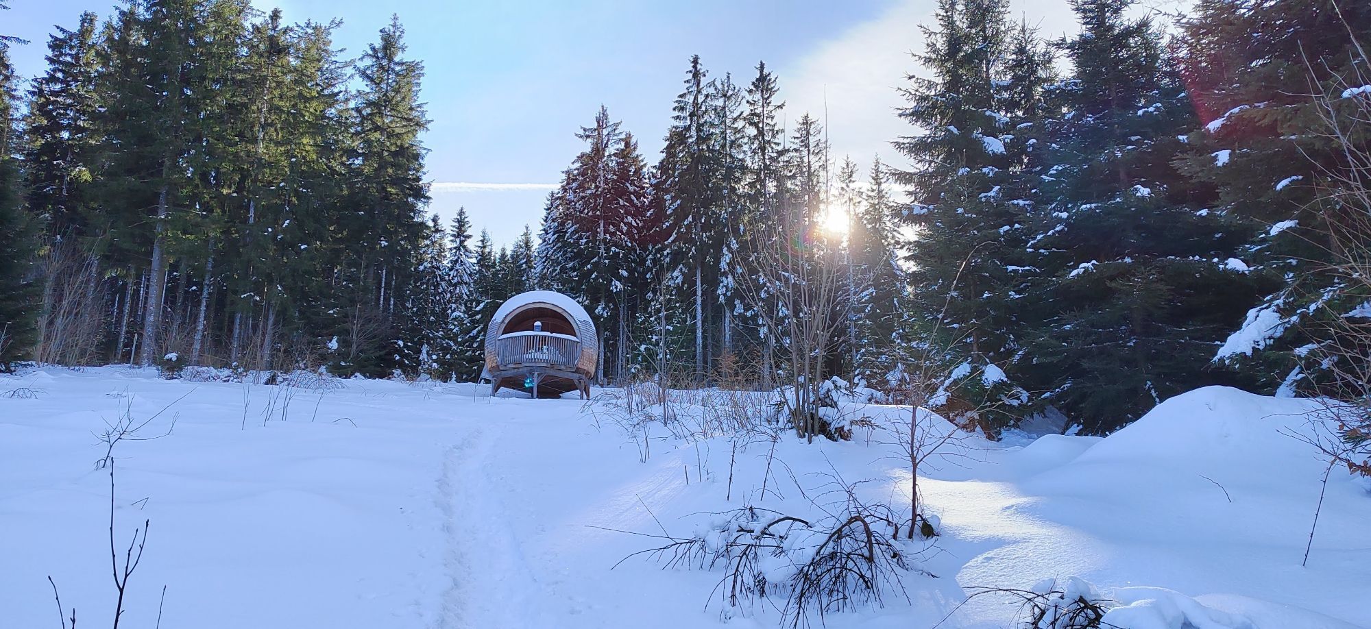
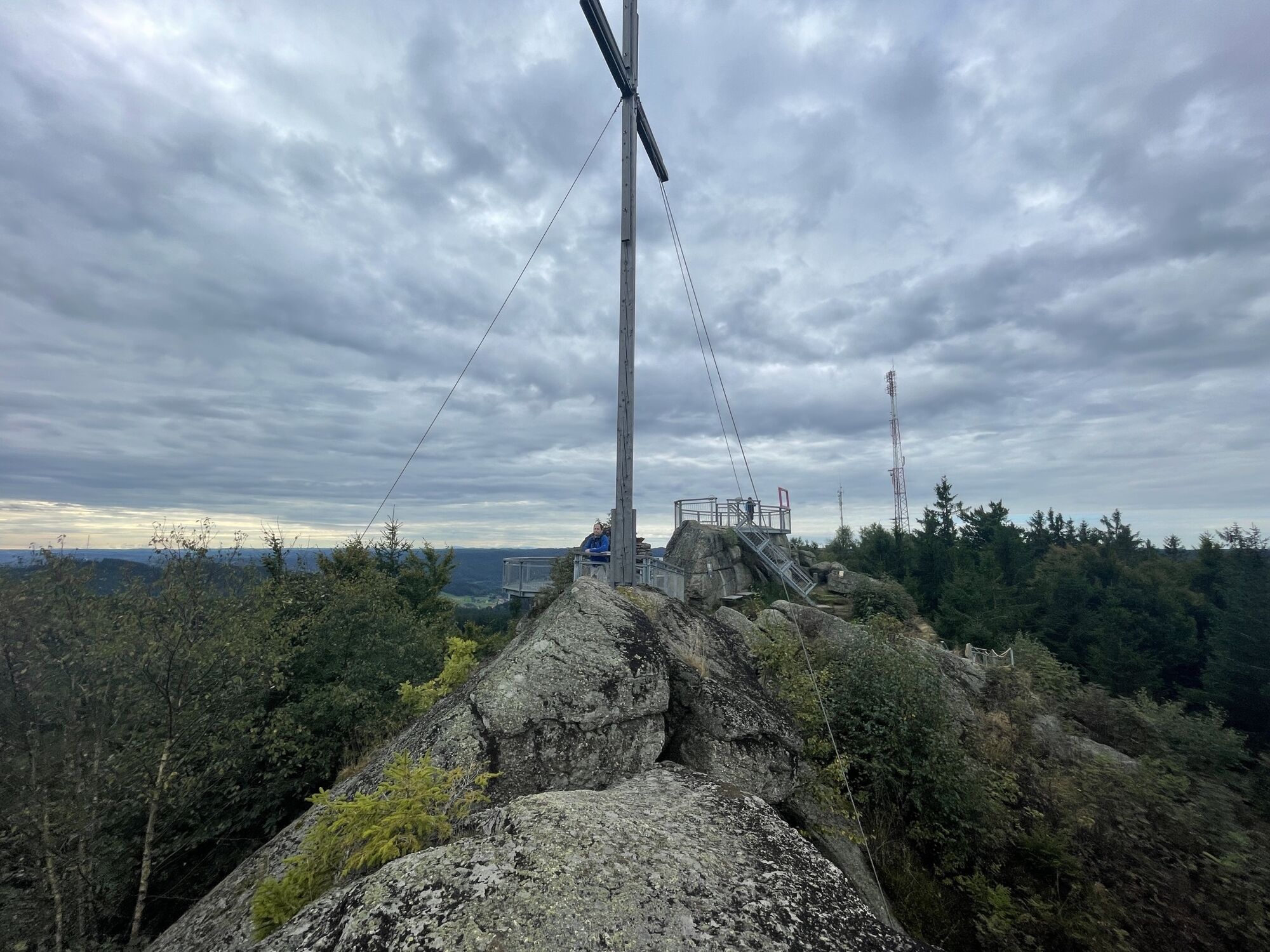
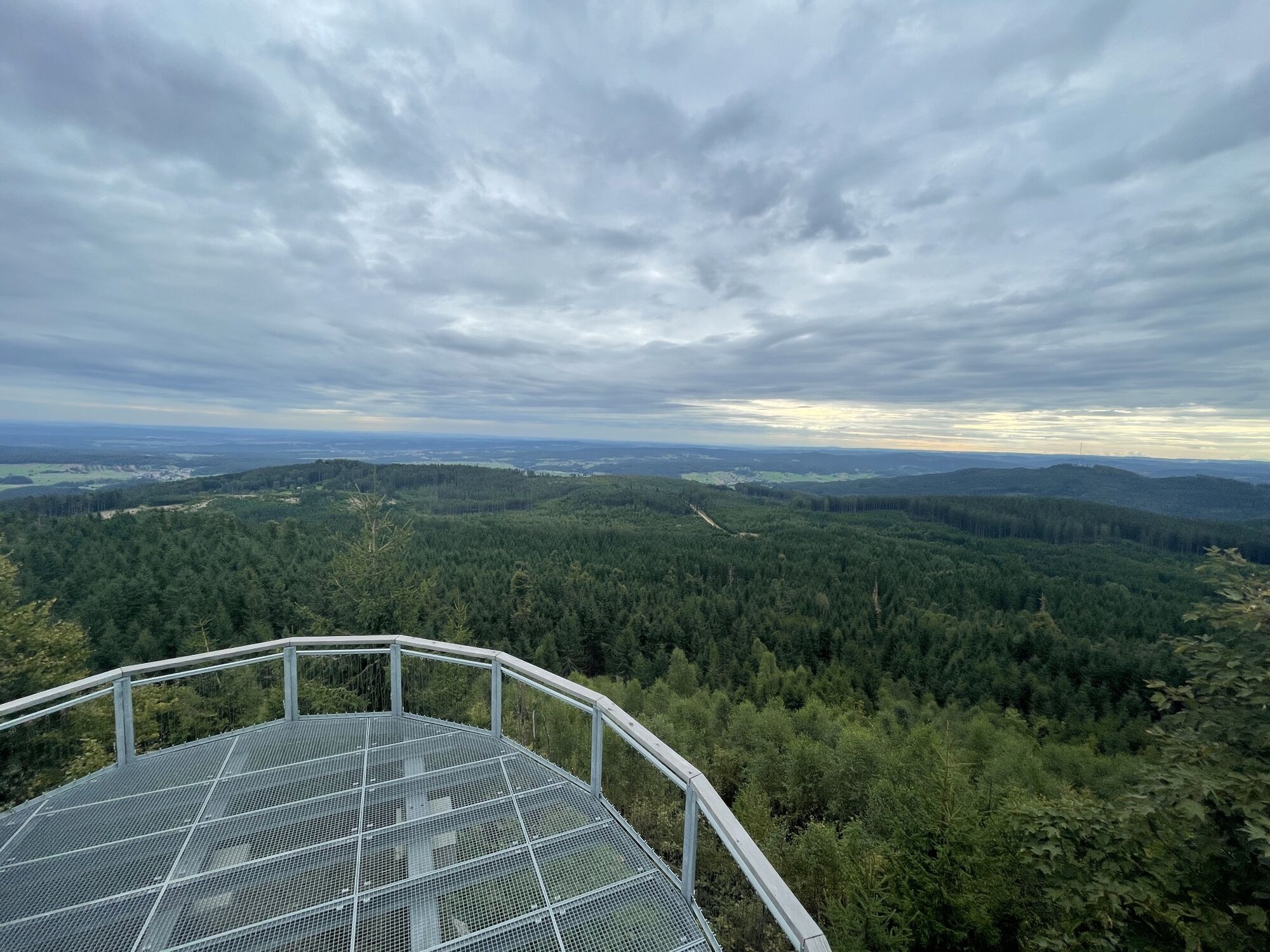
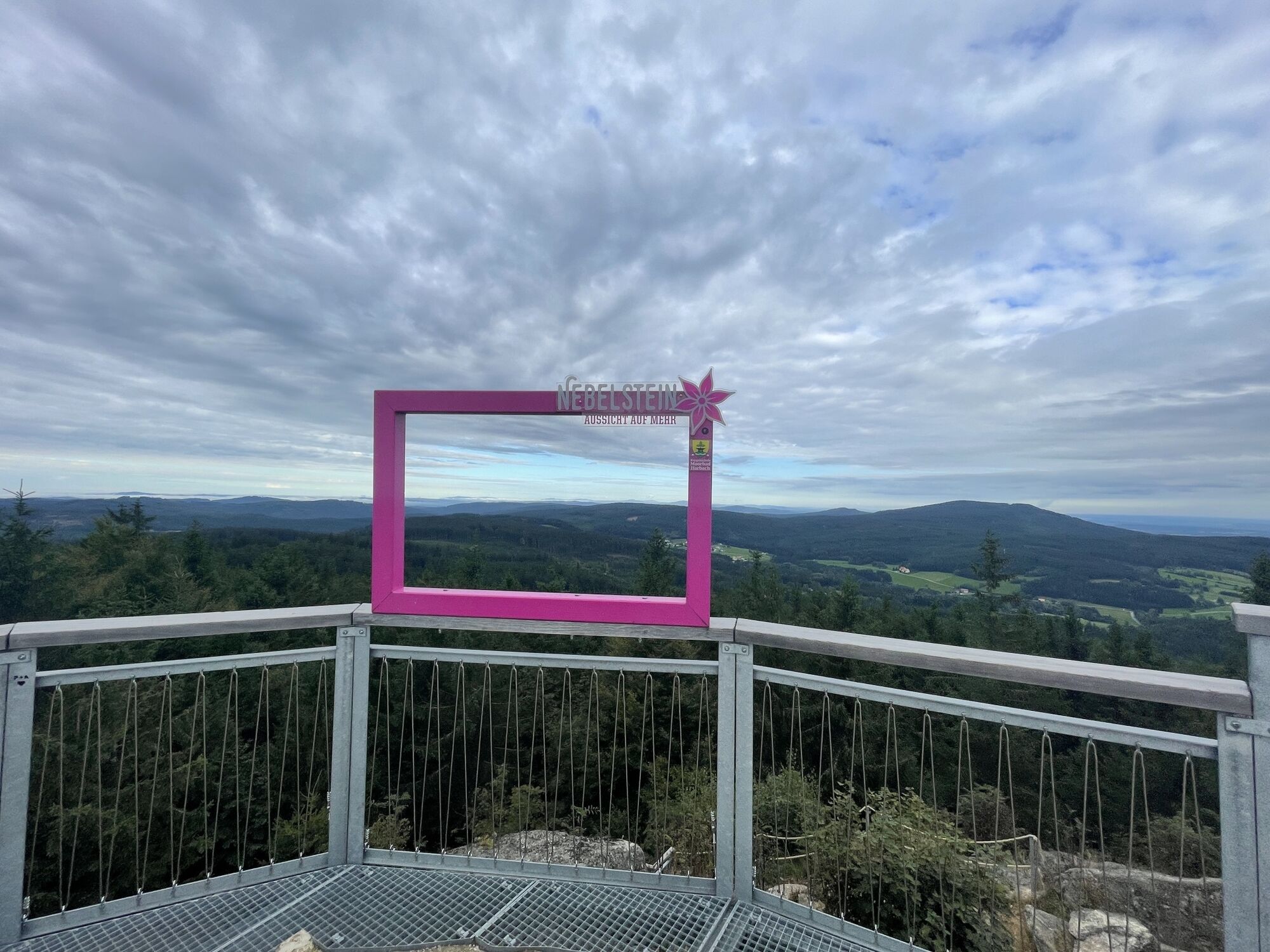
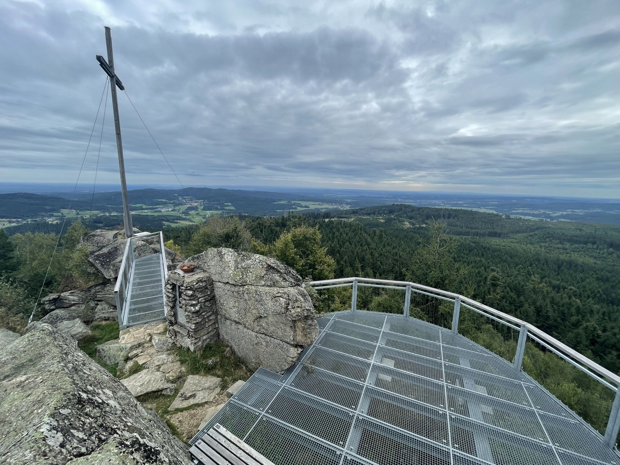
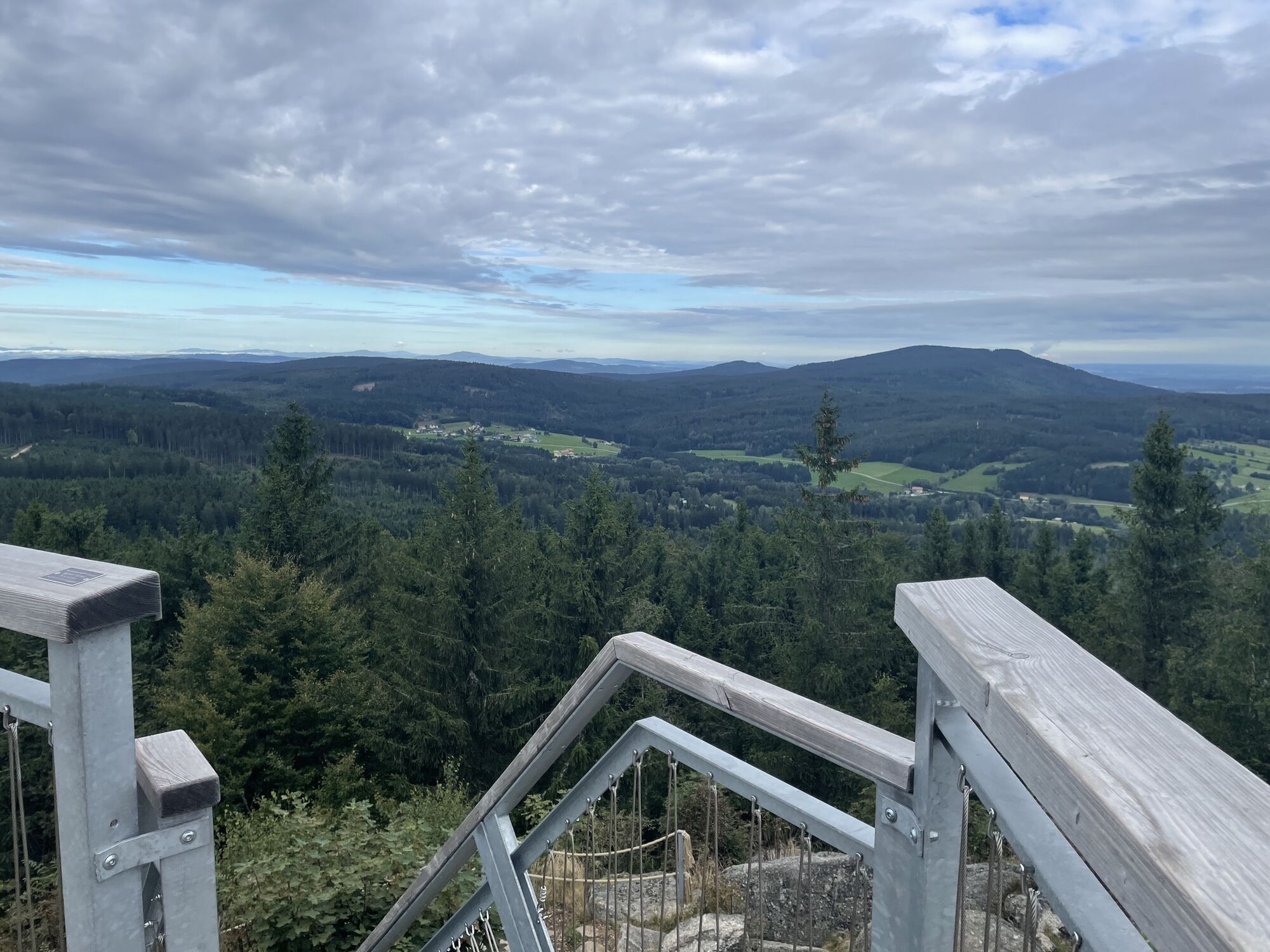




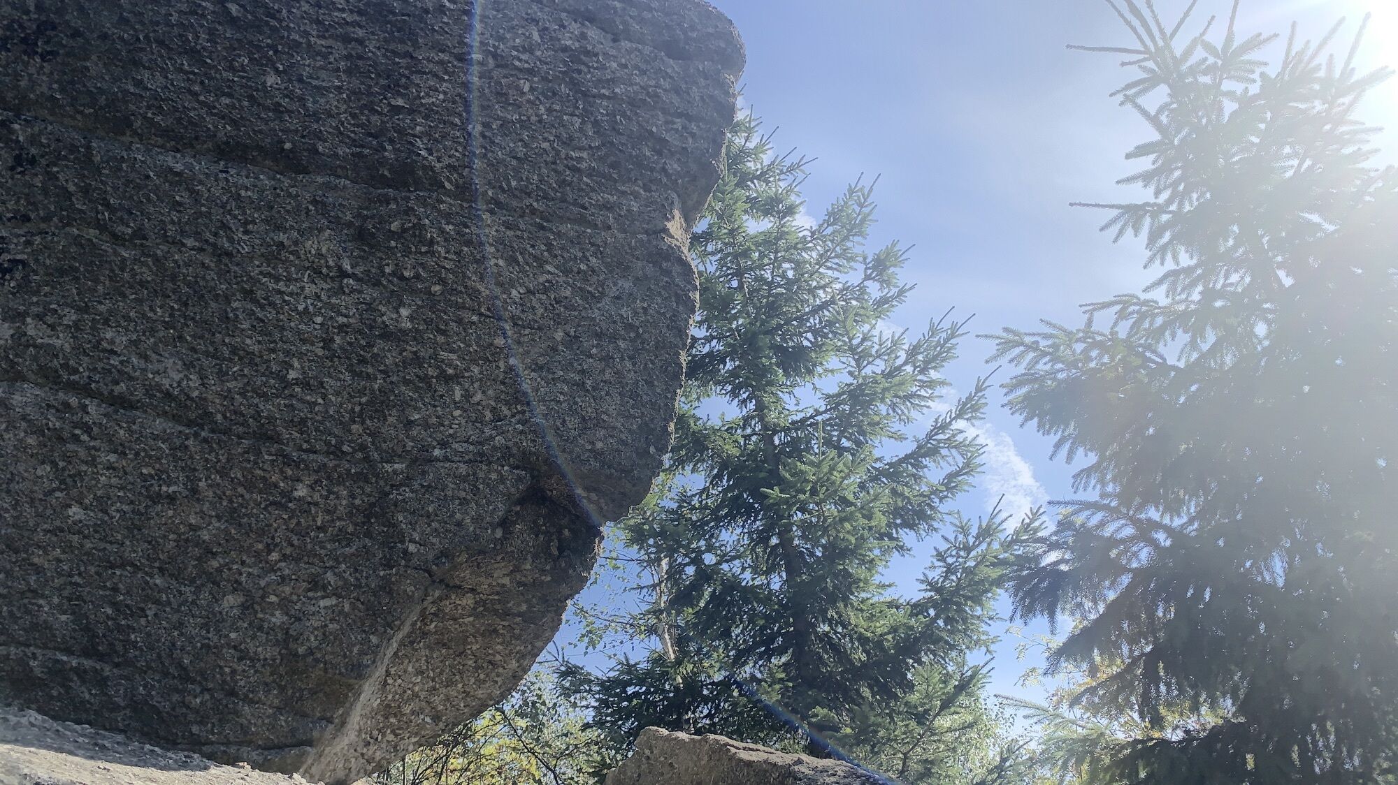
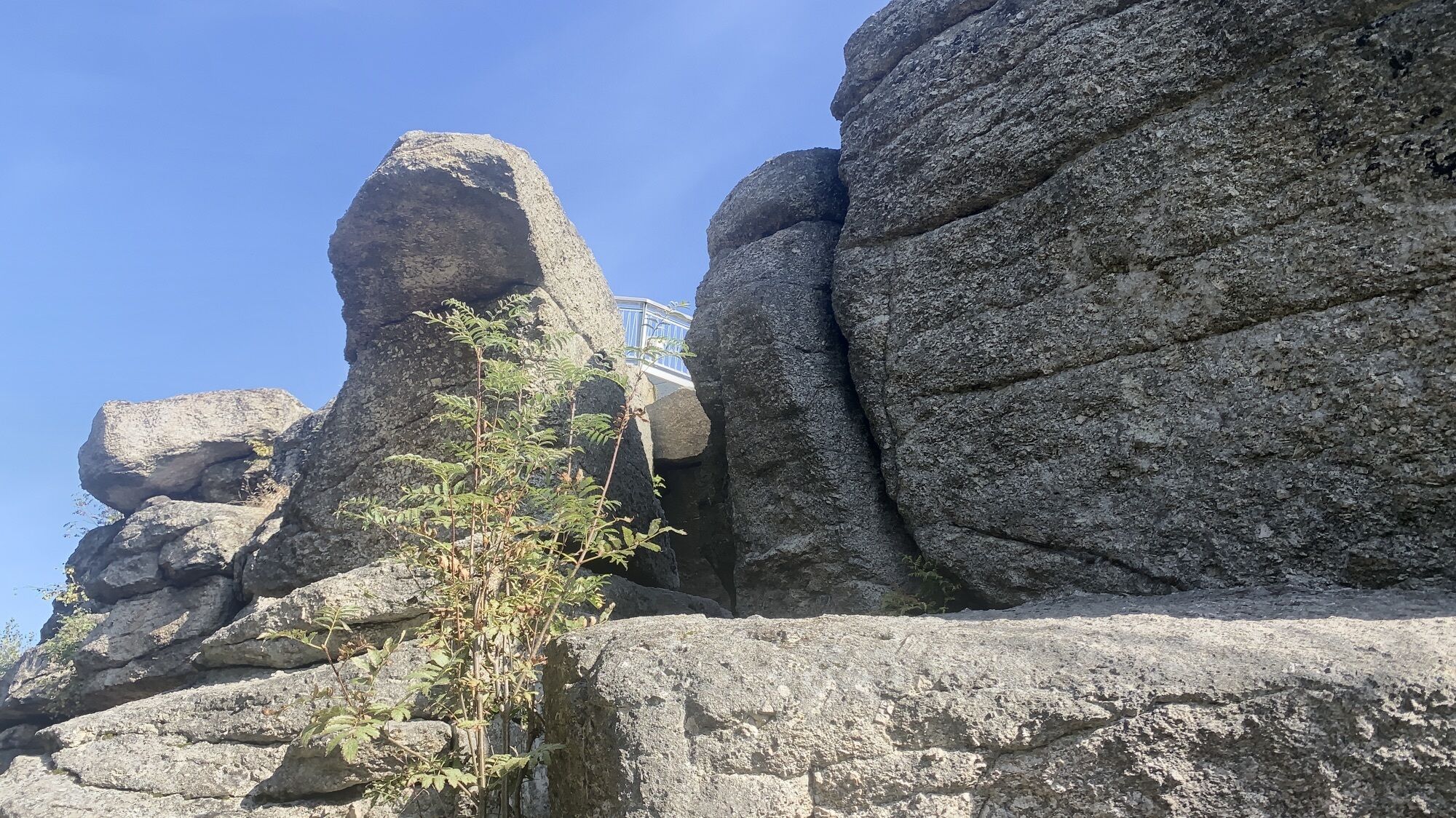
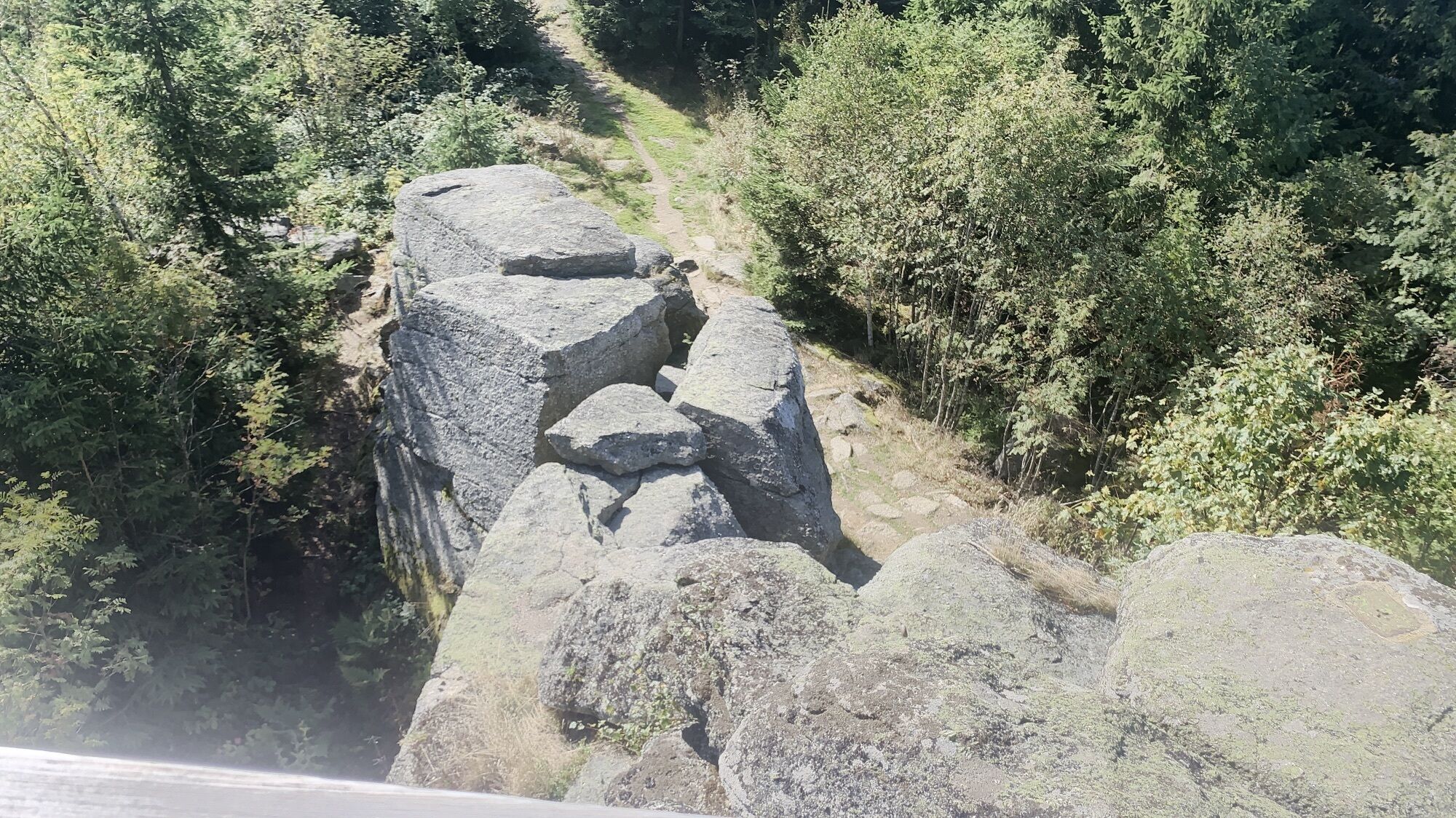
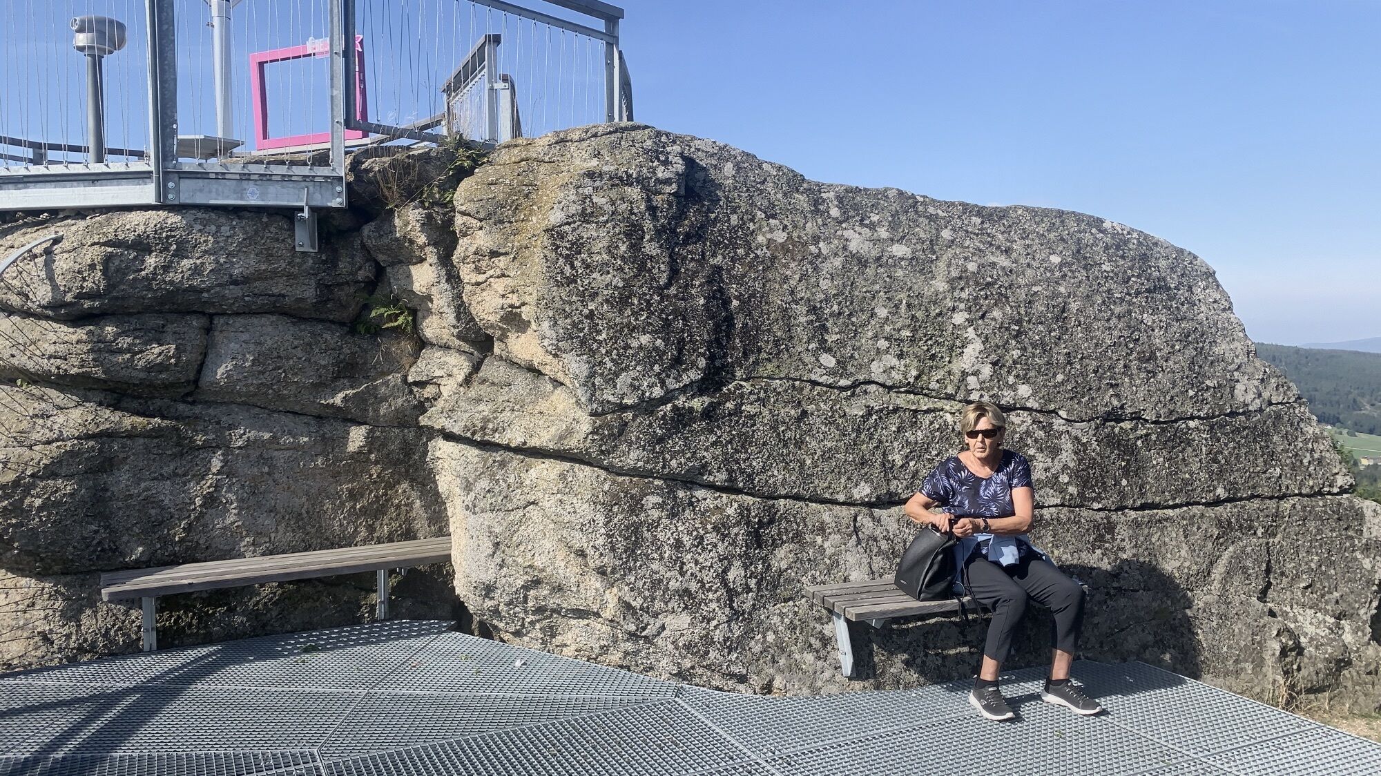

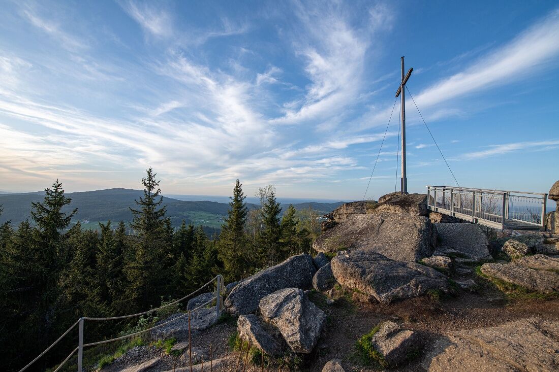
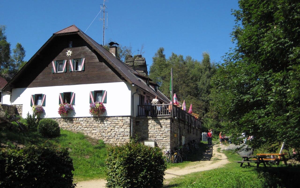
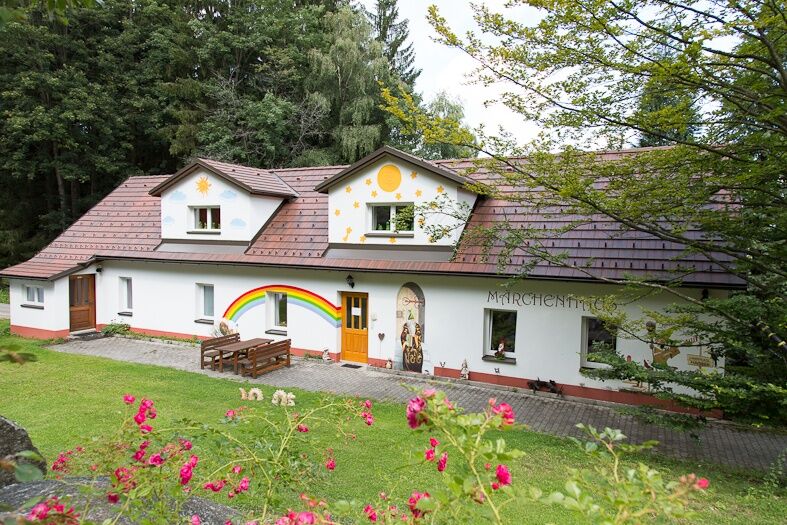
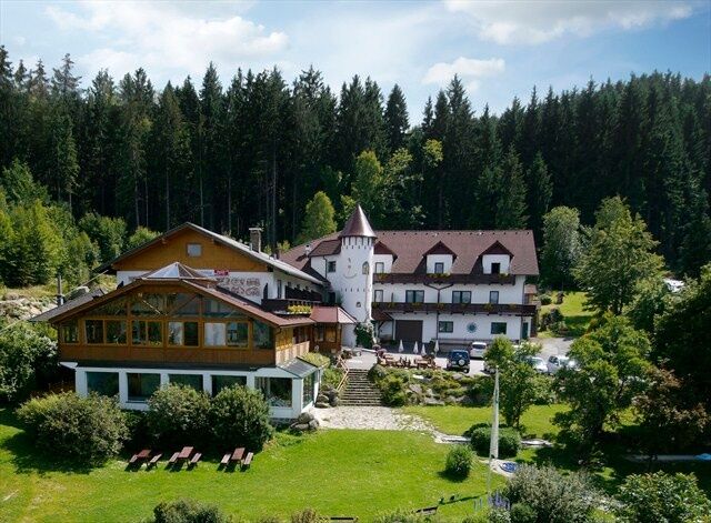

<p>You start at the freely accessible parking lot at the Fairy Tale Hotel Waldpension Nebelstein and hike between the “Fairy Tale House” (an exhibition about fairy tales) and the inn uphill towards the forest. Crossing the small road (to the left and right you can switch to woodland path No. 23) the northern forest begins. After a few minutes of steeper ascent you reach a meadow again. You follow the signs (yellow sign or red white red). Through a shady birch forest, the path winds over roots and stones up to the Obermaißen chapel, built around 1826. Now you are “high above Maißen”, look back and enjoy the view. A little further at the last house stands an old lilac tree that is worth seeing. Here the small piece of asphalt road turns back into a forest road. You now hike on a plateau, reach the high forest again, and pass a junction that leads you to a clearing called “Filzwiese.” The ground on both sides of the path becomes more marshy. Here nearby, peat for treatments in the Moor Spa Harbach is extracted. After about 600 m comes the steepest part of your path, you turn right and have the last 10 minutes to the summit of Nebelstein ahead of you. The view from the summit at 1017 m is fantastic. A little further down you can find shelter and refresh yourself. The Nebelstein hut has been in operation since November 1948 and is the first shelter built by the Austrian Alpine Club after World War II. The rocks towering behind the hut are known as the “3 Giants.” Also interesting are the many paths that lead over Nebelstein, such as the European long-distance path E8 from the North Sea to the Carpathians, the Nordwald ridgeway, the Thaya valley trail, or the Lower Austria regional circular hiking trail.<br /><br />After a rest and visiting the rocks, you start your return which first leads you down the access road to the parking lot, there you turn right and continue following path No. 20 to the “forest houses.” A trail leads you down Nebelstein for the next 20 minutes, crossing forest roads repeatedly. The first houses appear, the trail is asphalted again, you stay on the main path until at the lower end a sign “woodland path No. 23” catches your eye on a meadow to the right of the path. This would be a connecting path that would bring you back to the starting point of your route in about 25 minutes.<br /><br />If you continue downhill, you pass a phone booth and continue downhill to the wider village street. Here you turn right and pass the end-of-village sign of Hirschenwies. On the left a path branches off over the Hirschenwies brook. You hike along the narrow street on the hillside until you see the Fairy Tale Hotel Waldpension Nebelstein again on the opposite slope on your right. Once again turn right, down to the Hirschenwies brook, past a small farm with horses and goats, then the footpath leads you uphill over the meadow again. When you cross the street, you are at the 5th station of the “fairy tale feel-good garden.” If you have time, take a walk and enjoy this wonderful garden. A few more steps uphill and you have reached your starting point.</p>
<p>Route characteristics: 40% asphalt, 30% forest road, 30% woodland path</p>
Moorbad Harbach Tourism Association
3970 Moorbad Harbach, Hirschenwies 32
(T) +43 680 2382939
(E) info@moorbad-harbach.at
(I) www.moorbad-harbach.at
Waldviertel Tourism
3910 Zwettl, Sparkassenplatz 1/2/2
(T) +43 2822 54109
(E) info@waldviertel.at
(I) www.waldviertel.at
Uzyskaj wgląd
Zawsze na żywo z ponad 9 500 kamer internetowych. bergfex Jako użytkownik Pro, możesz teraz zobaczyć odpowiednie kamery internetowe dla wielu wycieczek w aplikacji wycieczki od. Pozwala to na bezpośredni podgląd aktualnych warunków.

Popularne wycieczki w okolicy
-
4,5
Nebelstein Adventure Hiking Trail
średniWędrówka 11,1 km -
4,5
Mandelstein von Moorbad aus
światłoWędrówka 9,47 km -
4,8
Nebelsteinweg
Wędrówka 6,98 km -
4,1
Naturparkweg Bad Großpertholz
światłoWędrówka 7,17 km -
4,9
Mandlstein Heinrichs bei Weitra Erlebnisweg
światłoWędrówka 13,1 km -
3,3
Zwei-Tausender-Tour Tischberg-Eichelberg
światłoWędrówka 12,4 km -
4,4
Windhaag bei Freistadt - W1, Österreich
światłoWędrówka 11,6 km -
4,4
Nebelstein vom Moorheilbad
średniWędrówka 12,9 km -
4,4
Sandl - Rosenhoferteiche Rundweg
światłoWędrówka 6,40 km -
4,8
4-Berge Marsch Mandelstein - Nebelstein - Wachberg - Johannesberg
Wędrówka 30,8 km
Wędrówki i tropienie


Nie przegap ofert i inspiracji na następne wakacje
Twój adres e-mail została dodana do listy mailingowej.





