


Kneipp path Hofamt Priel


The municipality of Hofamt Priel forms the boundary from the Strudengau to the Nibelungengau and is a romantic scattered settlement area surrounded by forests with a significant share in the Danube region....
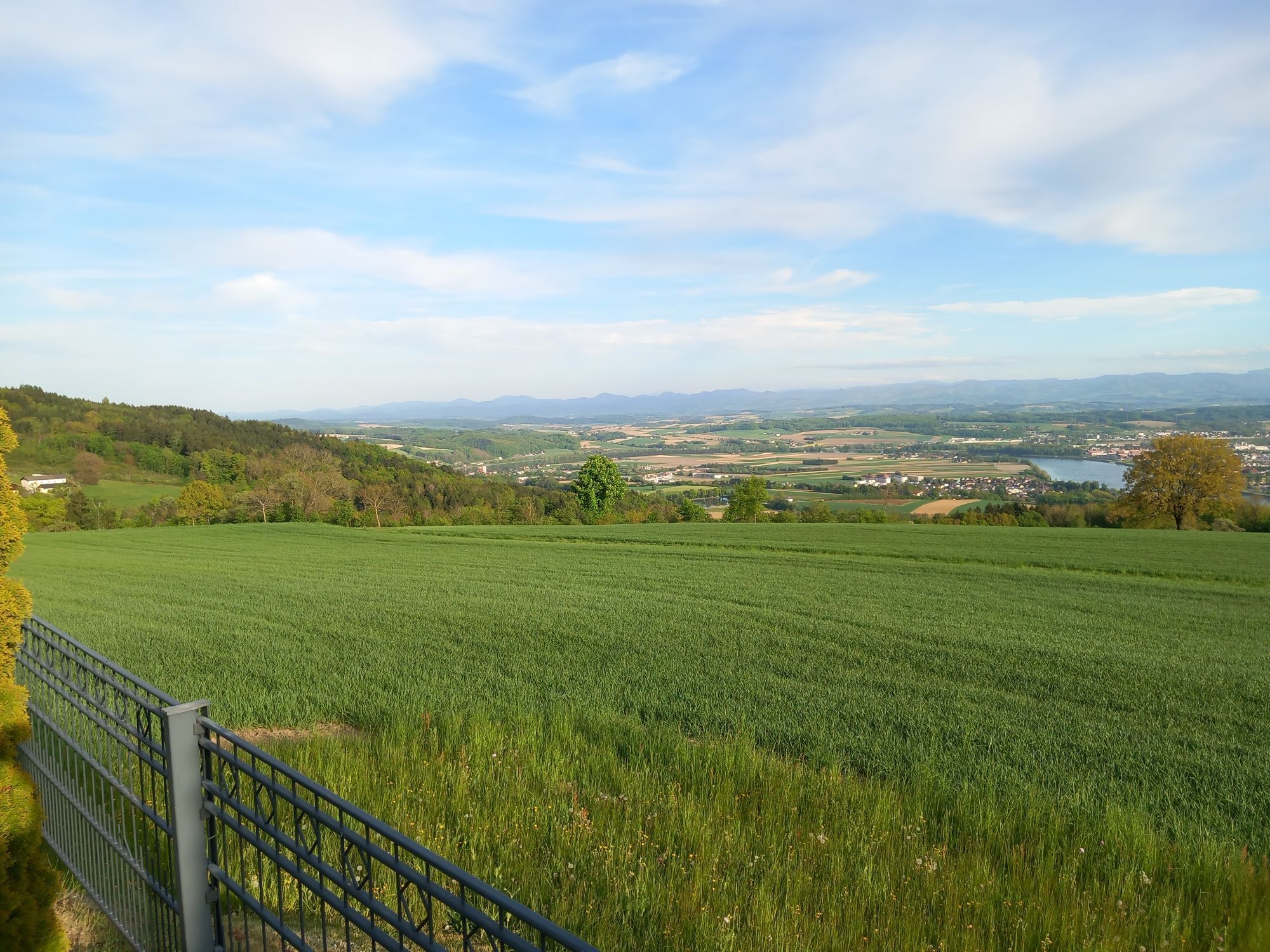
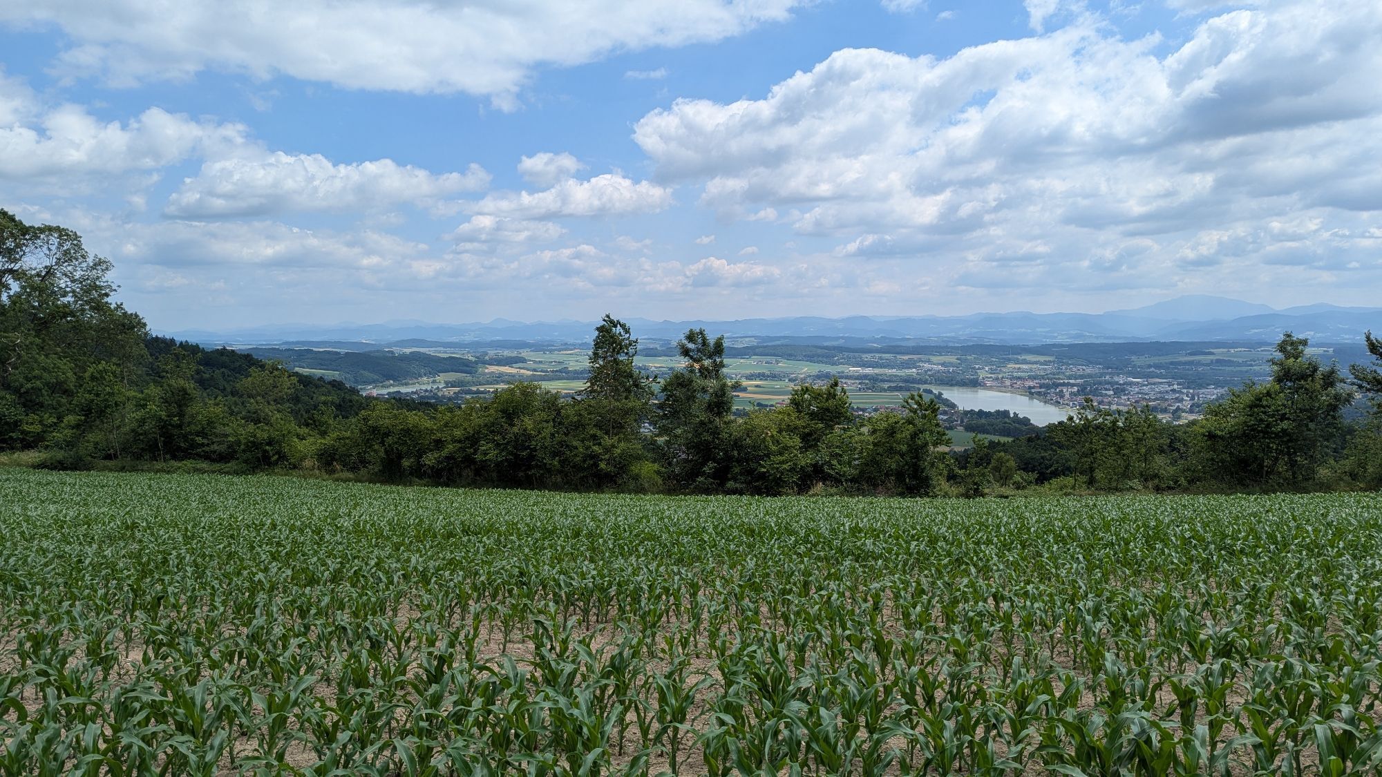
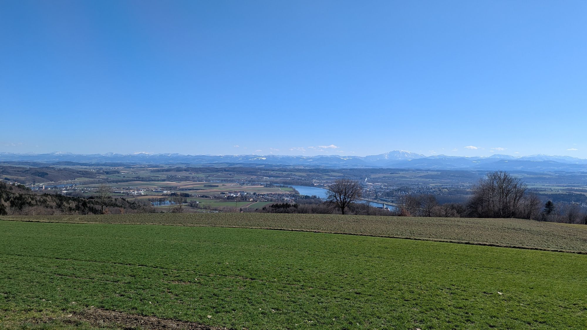
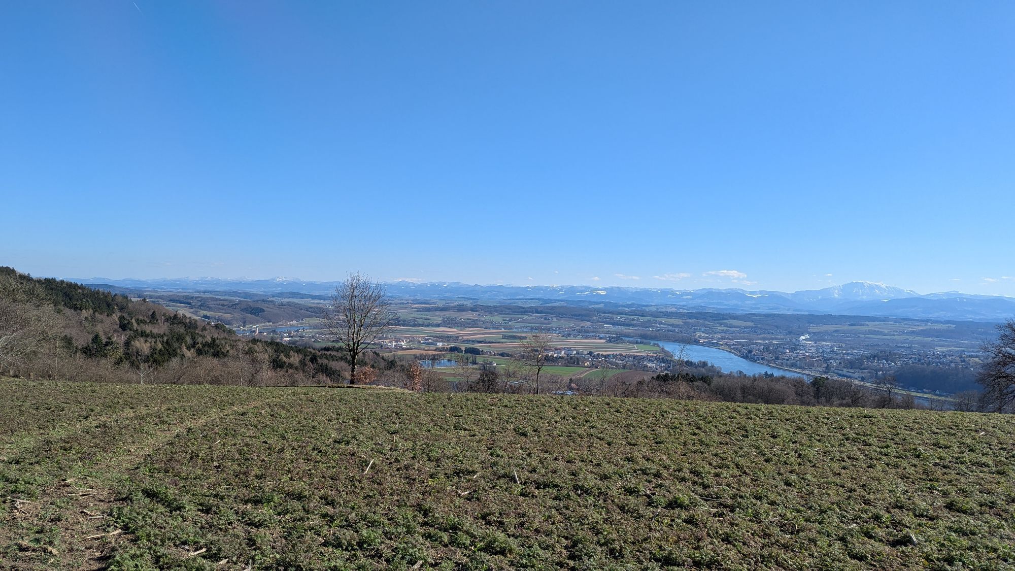
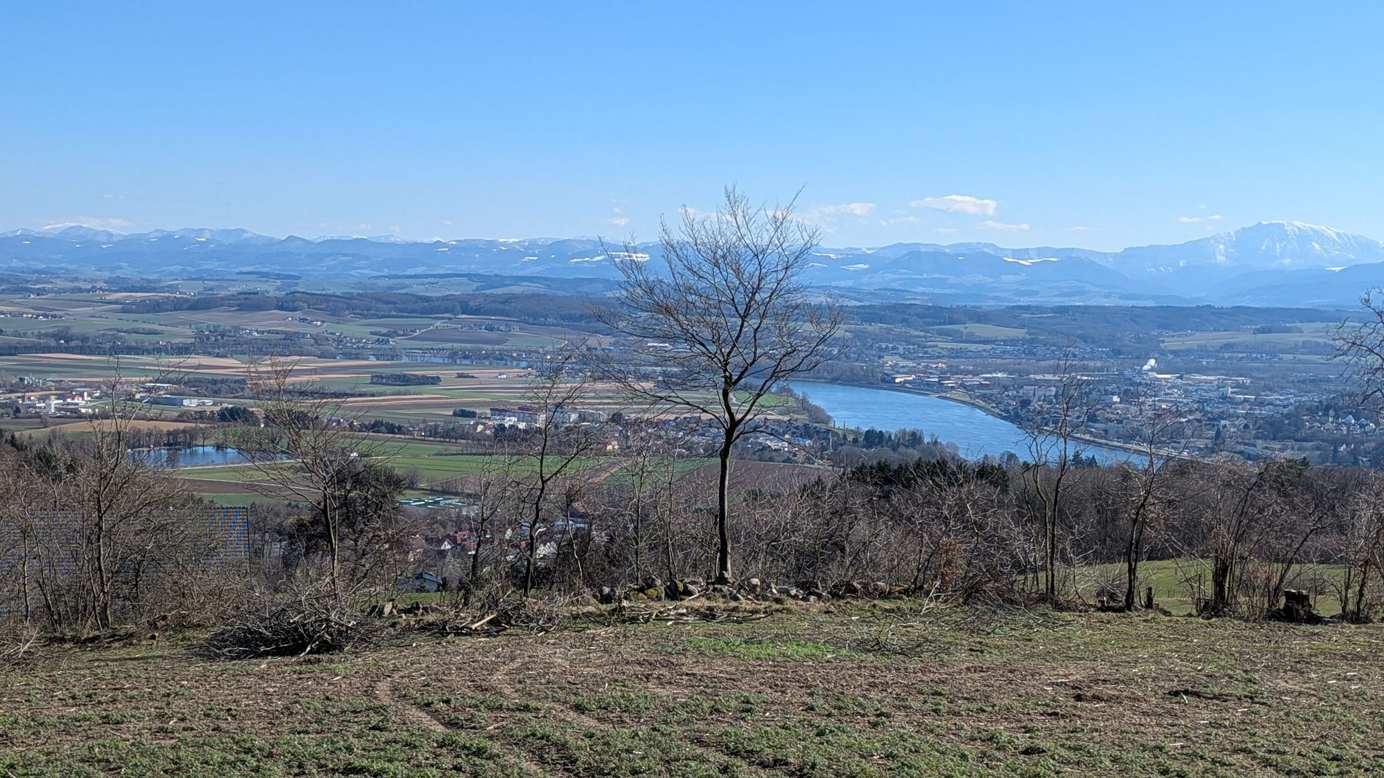
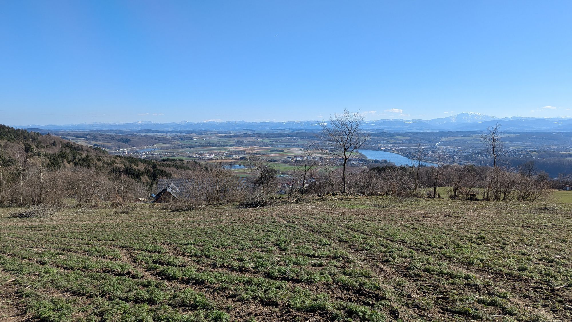
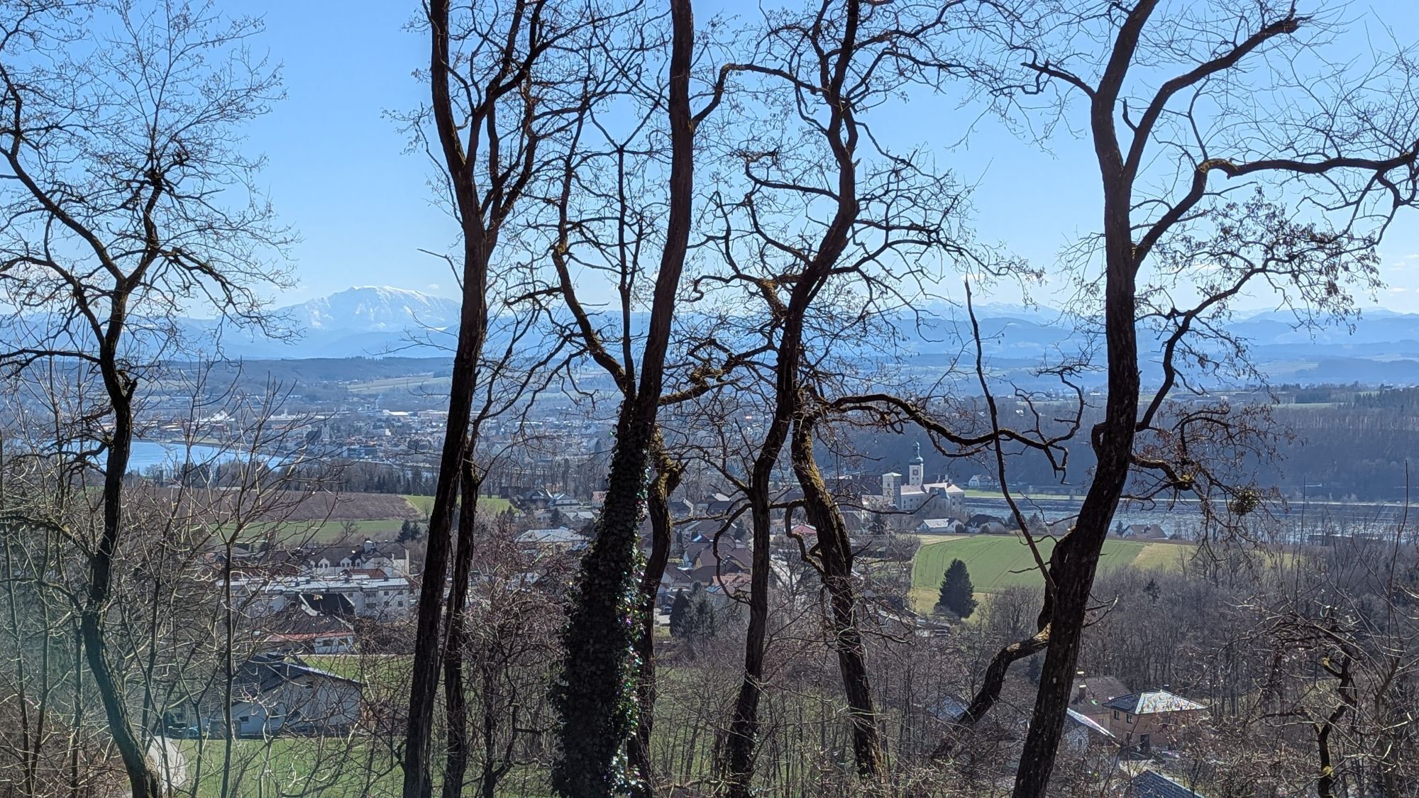
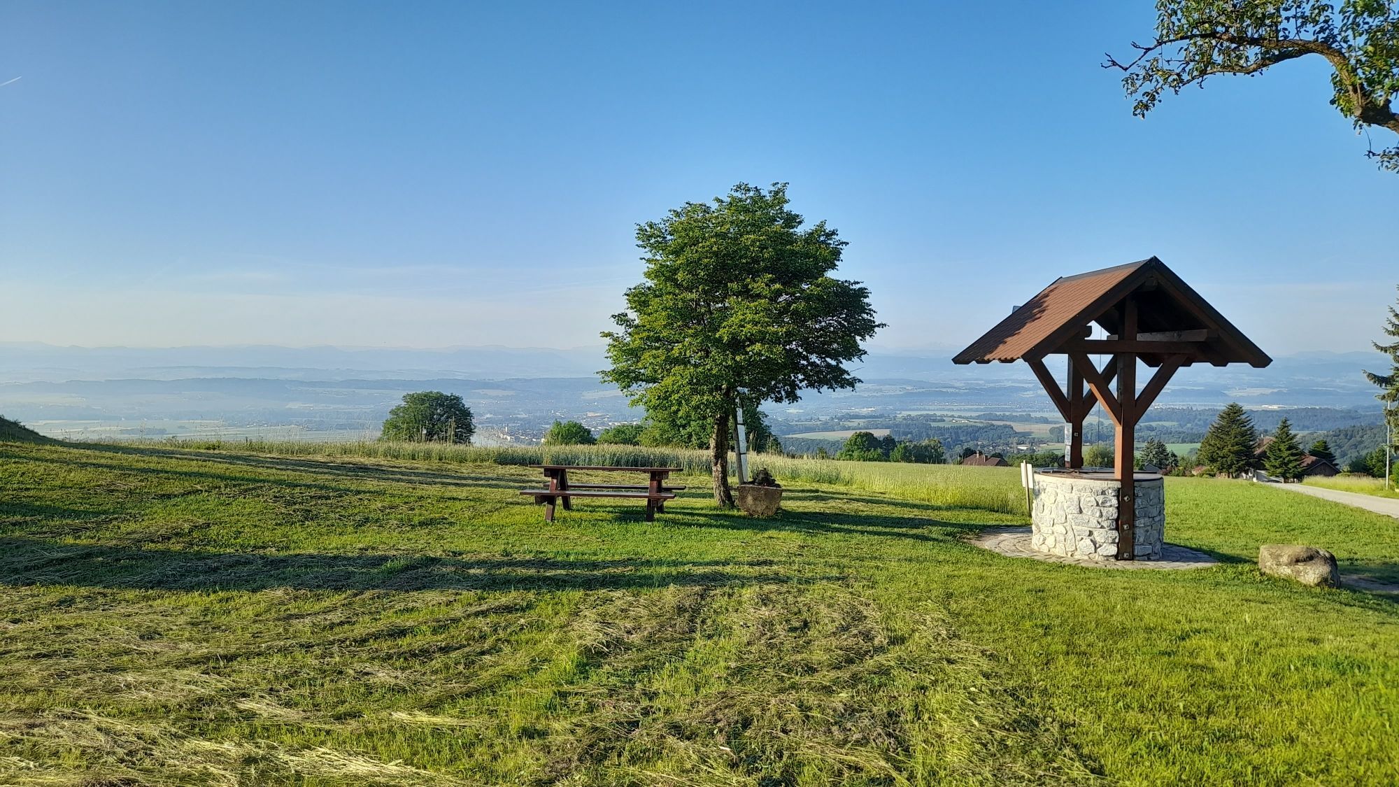
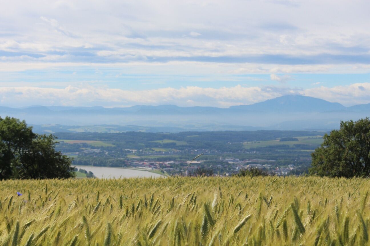
<p>The municipality of Hofamt Priel forms the boundary from the Strudengau to the Nibelungengau and is a romantic scattered settlement area surrounded by forests with a significant share in the Danube region. In the higher regions, the viewer is offered a wonderful panoramic view from the Danube power station (Ybbs-Persenbeug) and Persenbeug Castle extending into the Alpine foothills.</p>

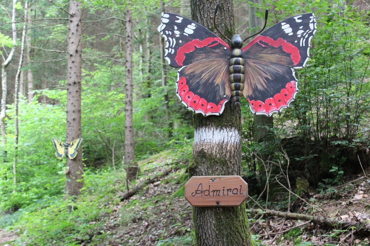
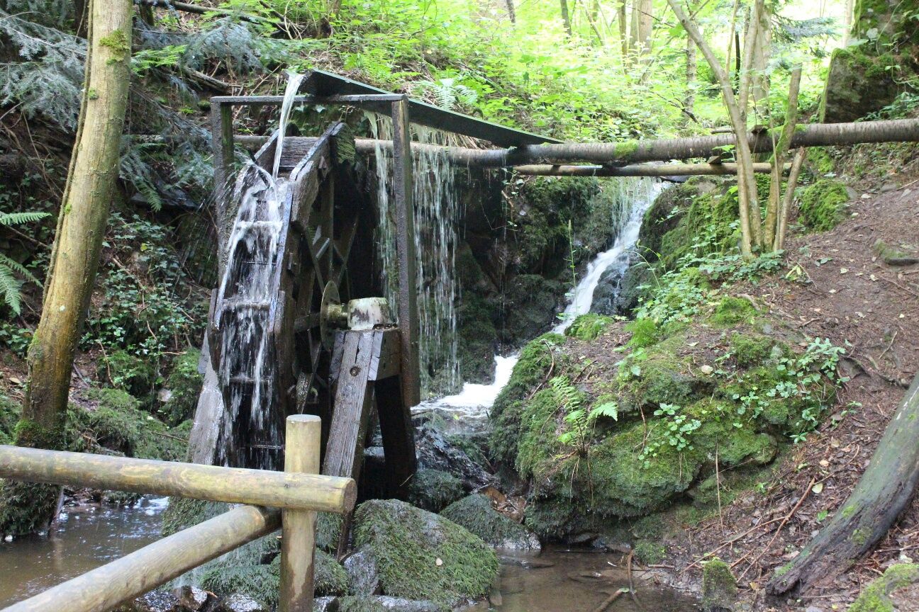
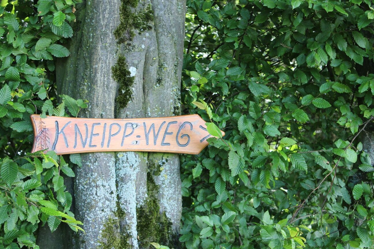
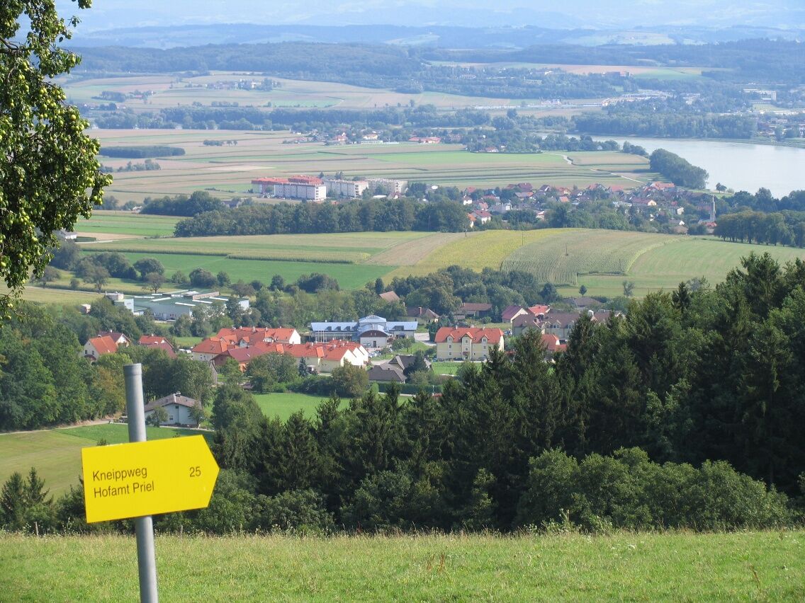
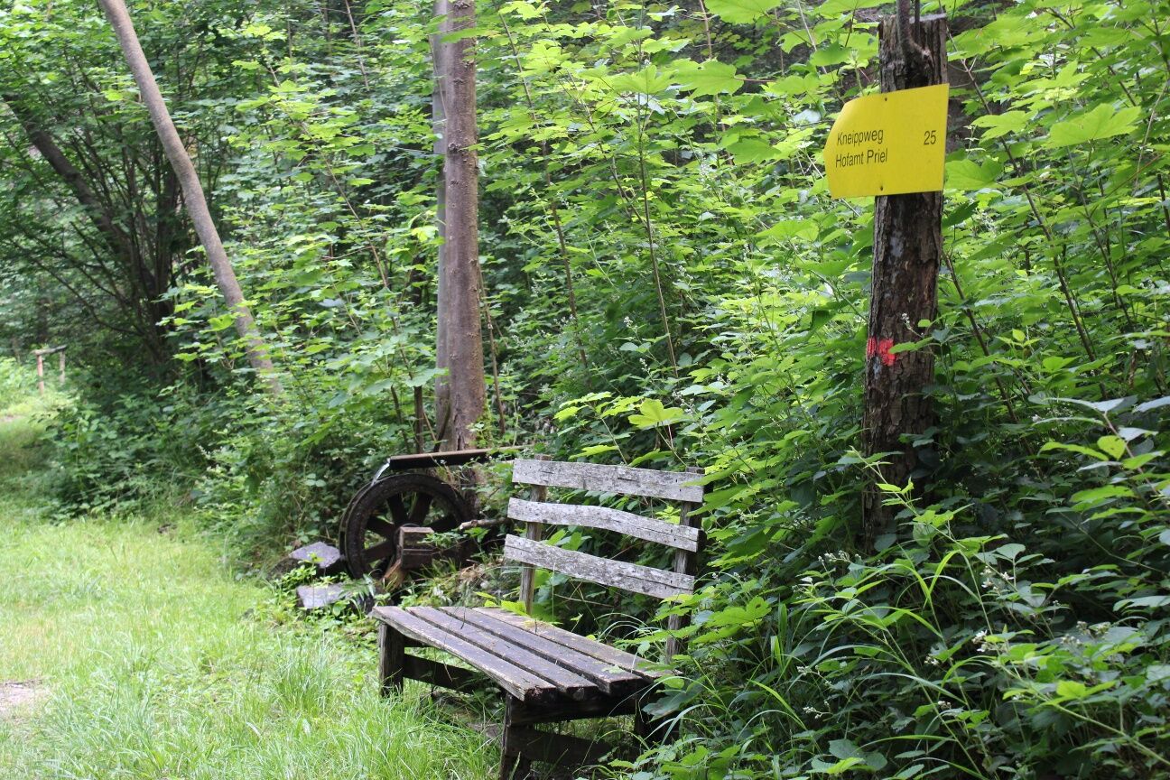
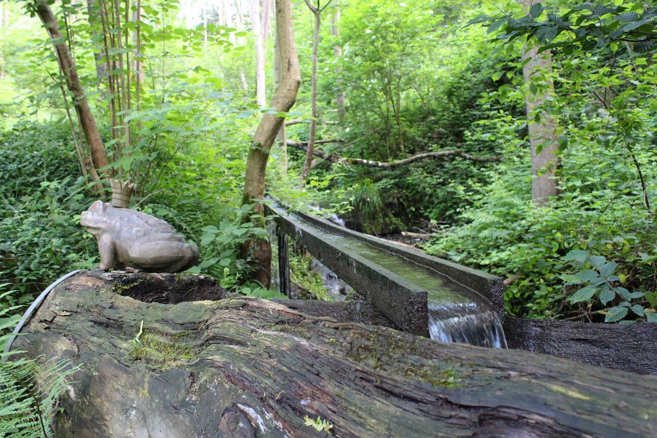
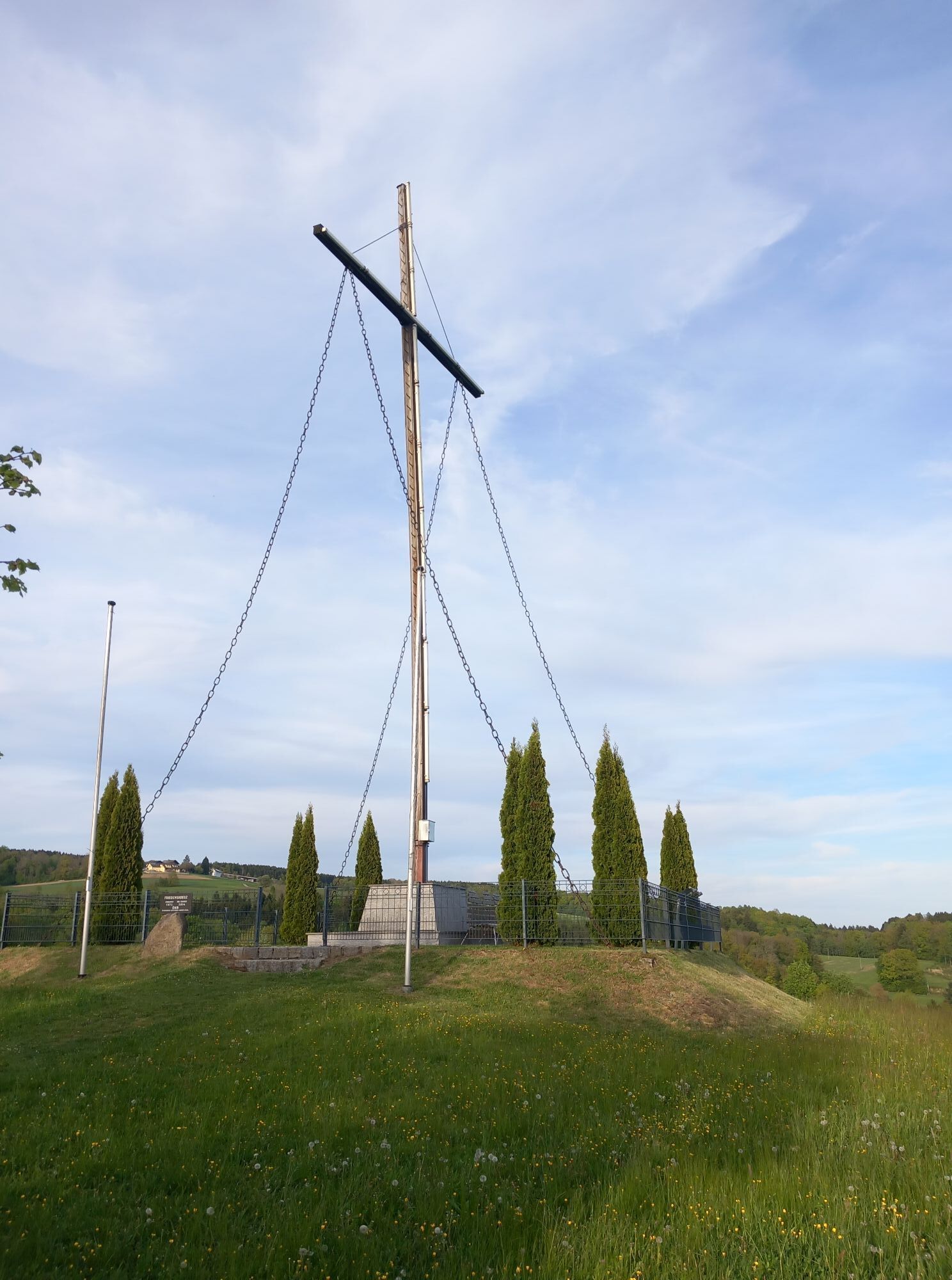
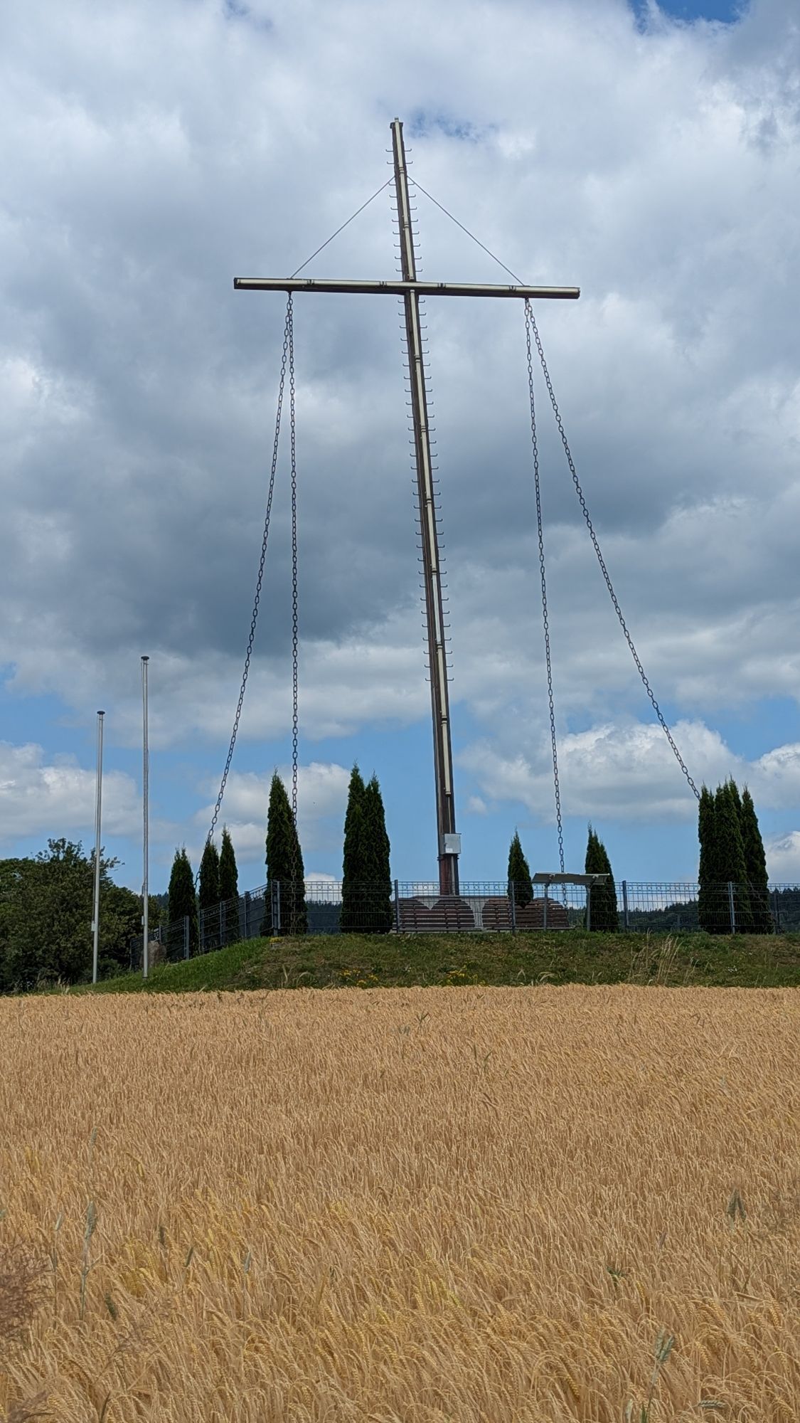
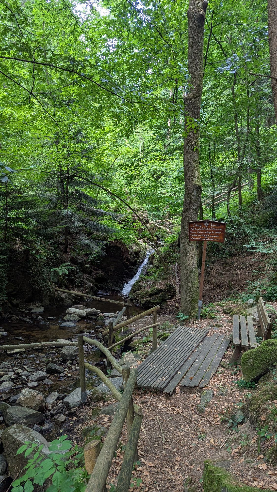
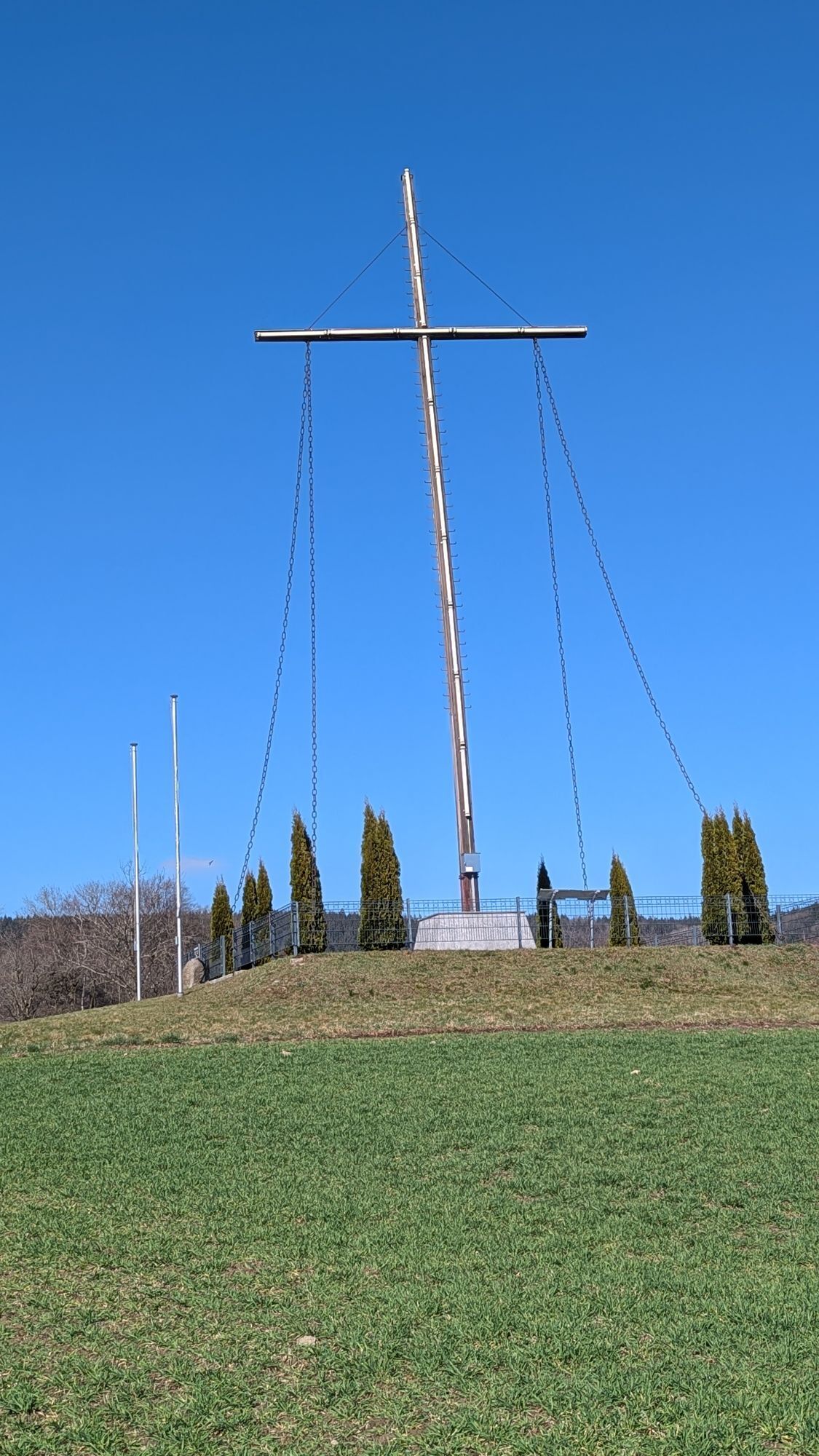
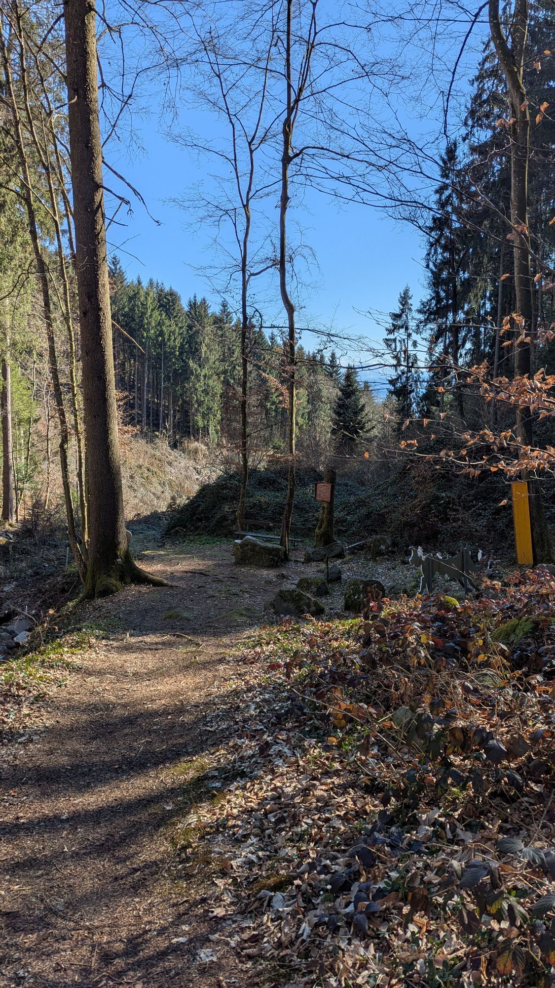
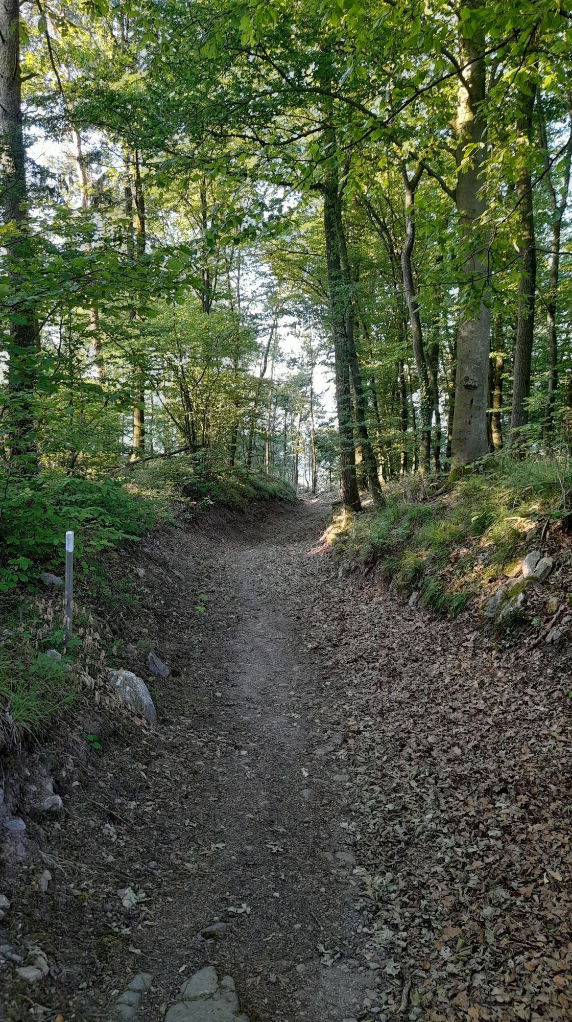
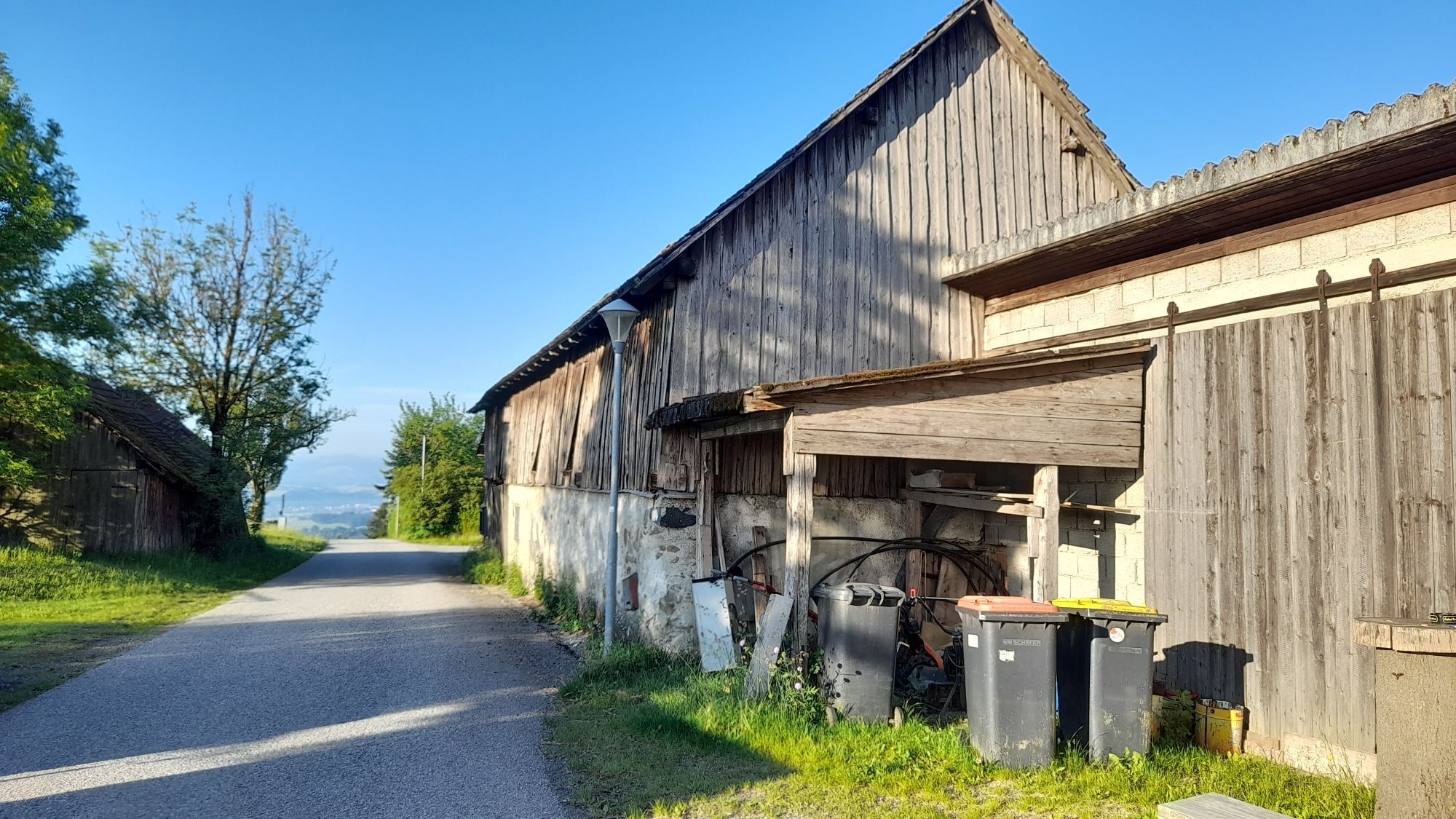
<p>The hike leads over the Lichtenstern along the pond stream, where the Kneipp station is located, to the Peace Cross and back via the mountain bike route to the community center. There is a Kneipp station, rest areas, as well as special stones for recharging energy, water wheels, various fairy tale figures for children, and interesting historical information (former quarry in Wagenleiten, Straßlmühle) to discover. Also enjoy the magnificent view far into the Alpine foothills.</p>
<p>A1 exit Ybbs - Persenbeug Danube bridge - B36 into the Yspertal – and drive to Hofamt Priel.</p>
<p>By train to Ybbs a.d. Donau, then by regional bus 780 to the Hofamt Priel community center. Your exact route can be planned with the VOR route planner: <a href="www.anachb.vor.at">www.anachb... </p>
<p>Parking lot at the community center</p>
Community center Hofamt Priel
3680 Hofamt Priel, Dorfplatz 1
(T) +43 7412 524210
(E) gemeinde@hofamtpriel.at
(I) www.hofamtpriel.at
Tourism association Ysper-Weitental
3683 Yspertal, Hauptstraße 9
(T) +43 7415 6767 25
(E) info.yw@waldviertel.at
WALDVIERTEL Tourism
3910 Zwettl, Sparkassenplatz 1/2/2
(T) +43(0)2822/54109
(E) info@waldviertel.at
(I) www.waldviertel.at

Popularne wycieczki w okolicy
-
4,6
Waldhausen: Outlook circuit
średniWędrówka 14,0 km -
4,8
Stillensteinklamm, Grein
światłoWędrówka 10,4 km -
4,5
Ausgedehnte Peilsteinrunde
średniWędrówka 13,7 km -
4,5
Purgstall Route 3 entlang der Erlauf und Umgebung
światłoWędrówka 12,5 km -
4,4
Durch die Steinwandklamm von Maria Taferl aus
światłoWędrówka 8,26 km -
4,8
Herzsteinweg Ysper und Burgsteinmauer
średniWędrówka 14,7 km -
4,9
Stillensteinklamm Rundweg über Struden
światłoWędrówka 12,6 km -
4,9
LAIMBACH Ostrong Peilstein 20220716
średniWędrówka 7,70 km -
5,0
Castle stone wall 975m - Variant a
średniWędrówka 5,26 km -
4,7
Sulzberg-Strecke
średniMountainbike 29,4 km
Wędrówki i tropienie


Nie przegap ofert i inspiracji na następne wakacje
Twój adres e-mail została dodana do listy mailingowej.