







Wilderness hike (Owl trail with extension to the Tremel)
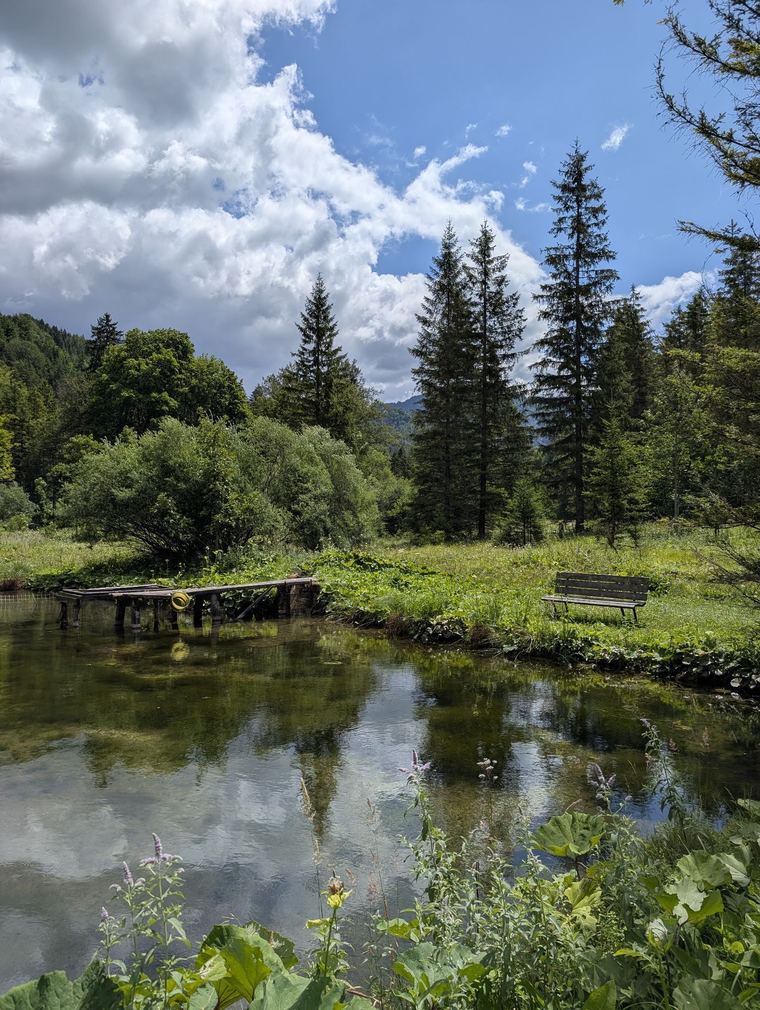
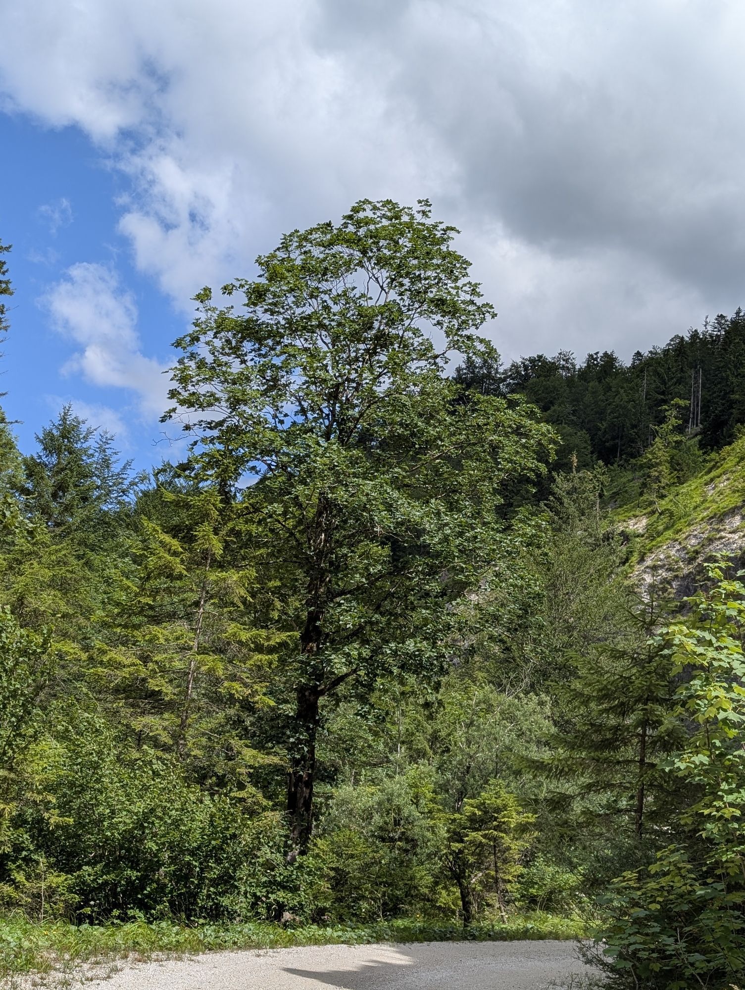
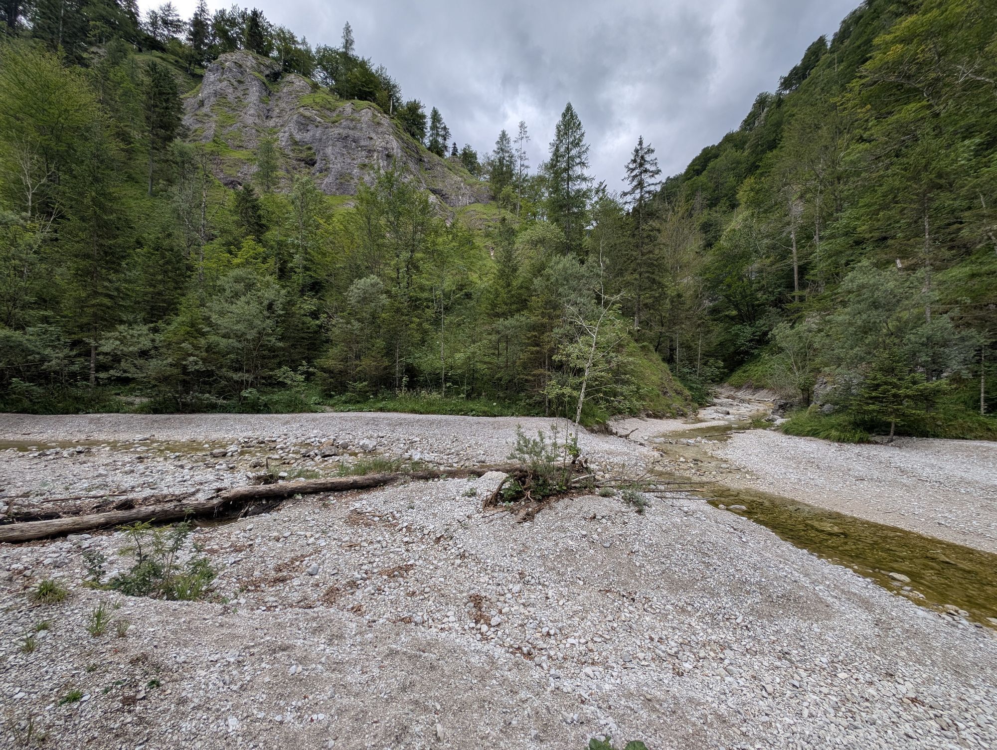
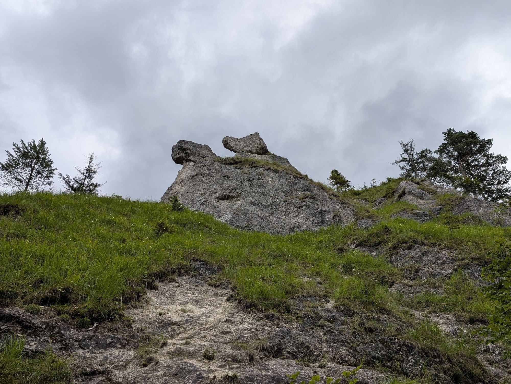
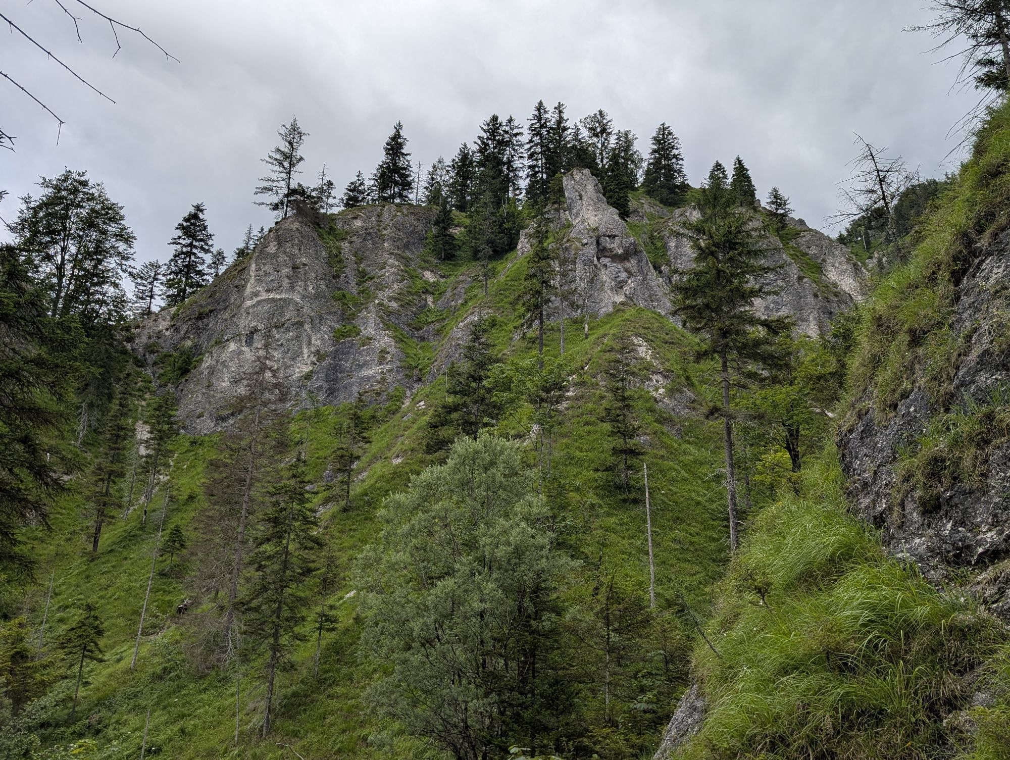
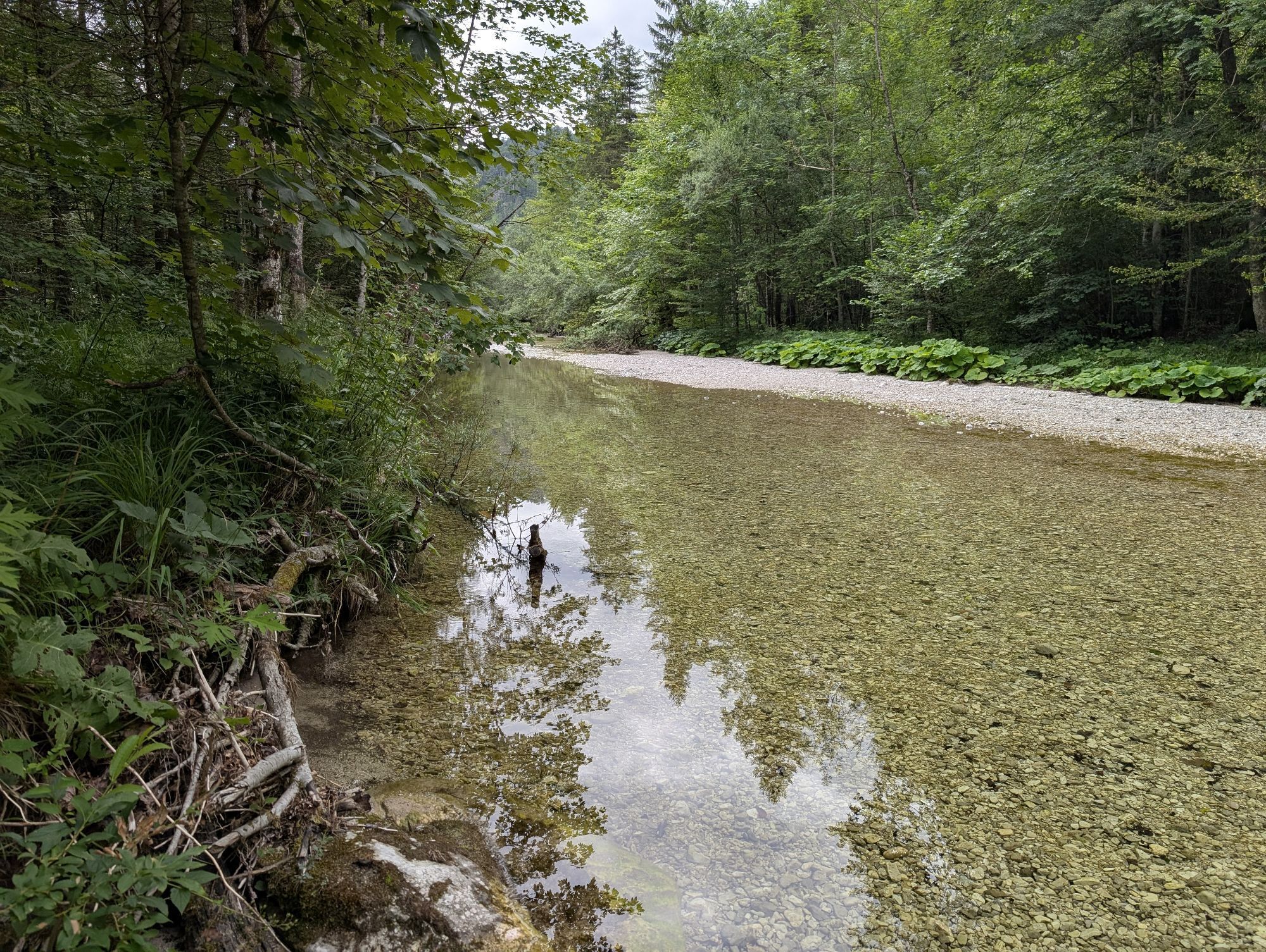
The Dürrenstein Wilderness Area's owl adventure trail was opened in April 2012. It leads over two and a half kilometers through the Windischbachau and is an experience for the whole family. Interesting...
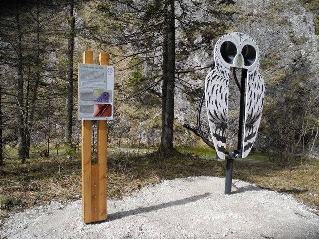
The Dürrenstein Wilderness Area's owl adventure trail was opened in April 2012. It leads over two and a half kilometers through the Windischbachau and is an experience for the whole family. Interesting facts about the five owl species found in the wilderness area (eagle owl, Ural owl, tawny owl, boreal owl and pygmy owl) are presented at the following stations along the trail:
From egg to wildernessIn the beginning was the eggWhere do owls breed?Watch out branchlings!Hear like an owlHunters of the nightOwl calls & wingspansAll about the Ural owlThere is also a lot to discover away from the stations, including replicas of the five owl species and the secrets of their breeding behavior. The scenic attractions and the structures of the second Vienna High Spring Water Pipeline also make a visit worthwhile.
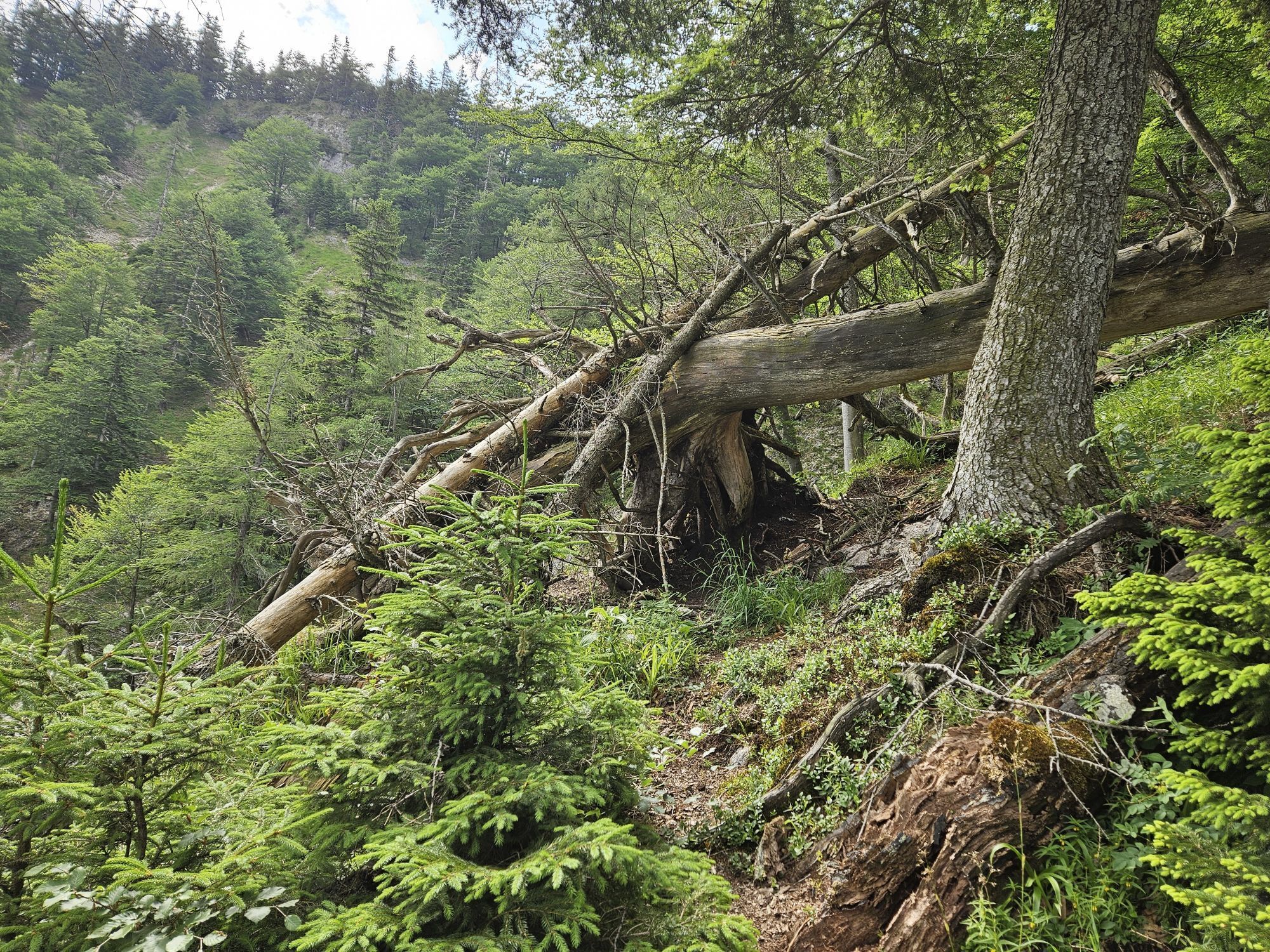
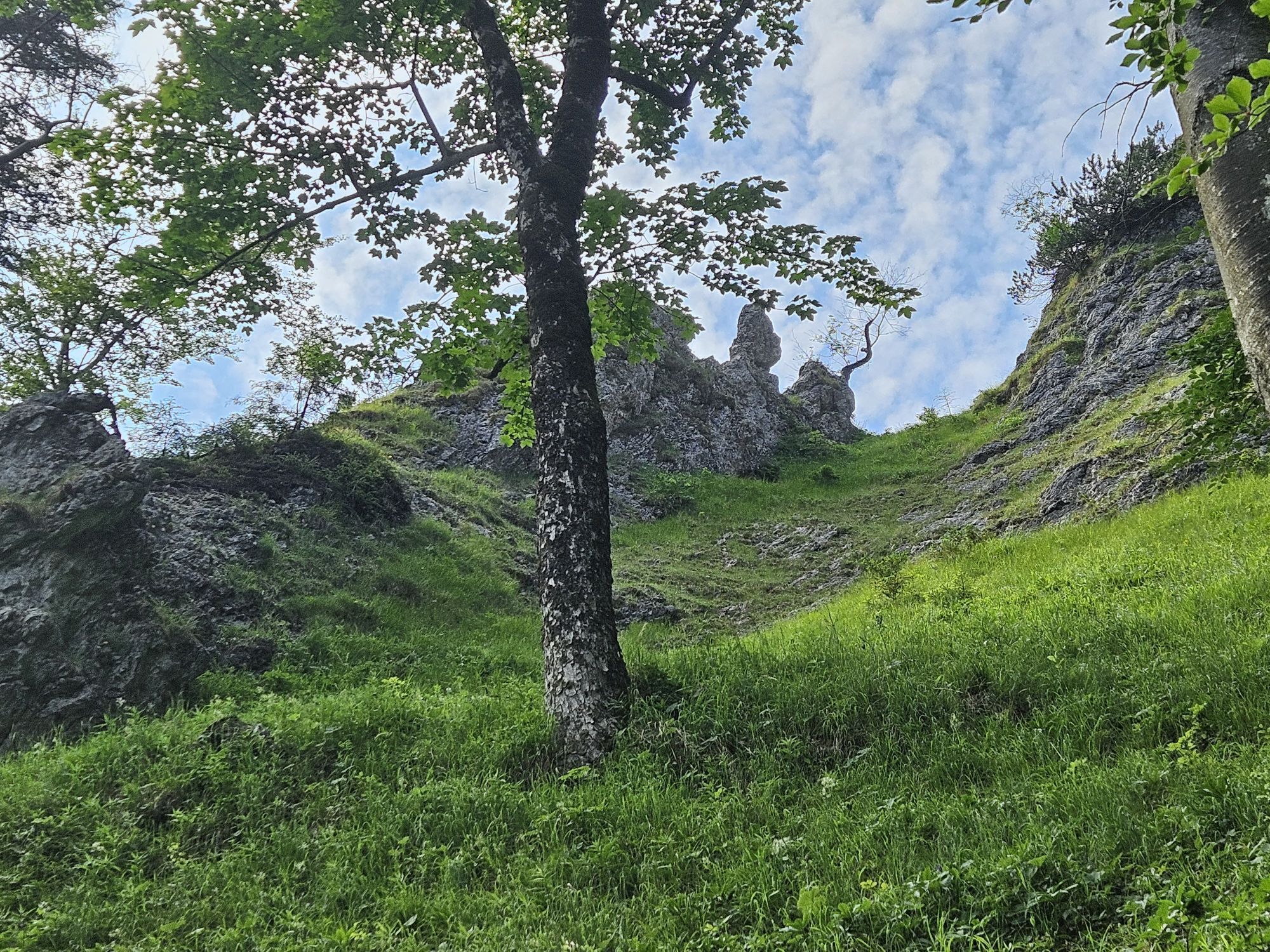
The last stop is followed by a steep ascent at the beginning and in the middle up to the mountain ridge to the Tremel at around 1,200m above sea level.

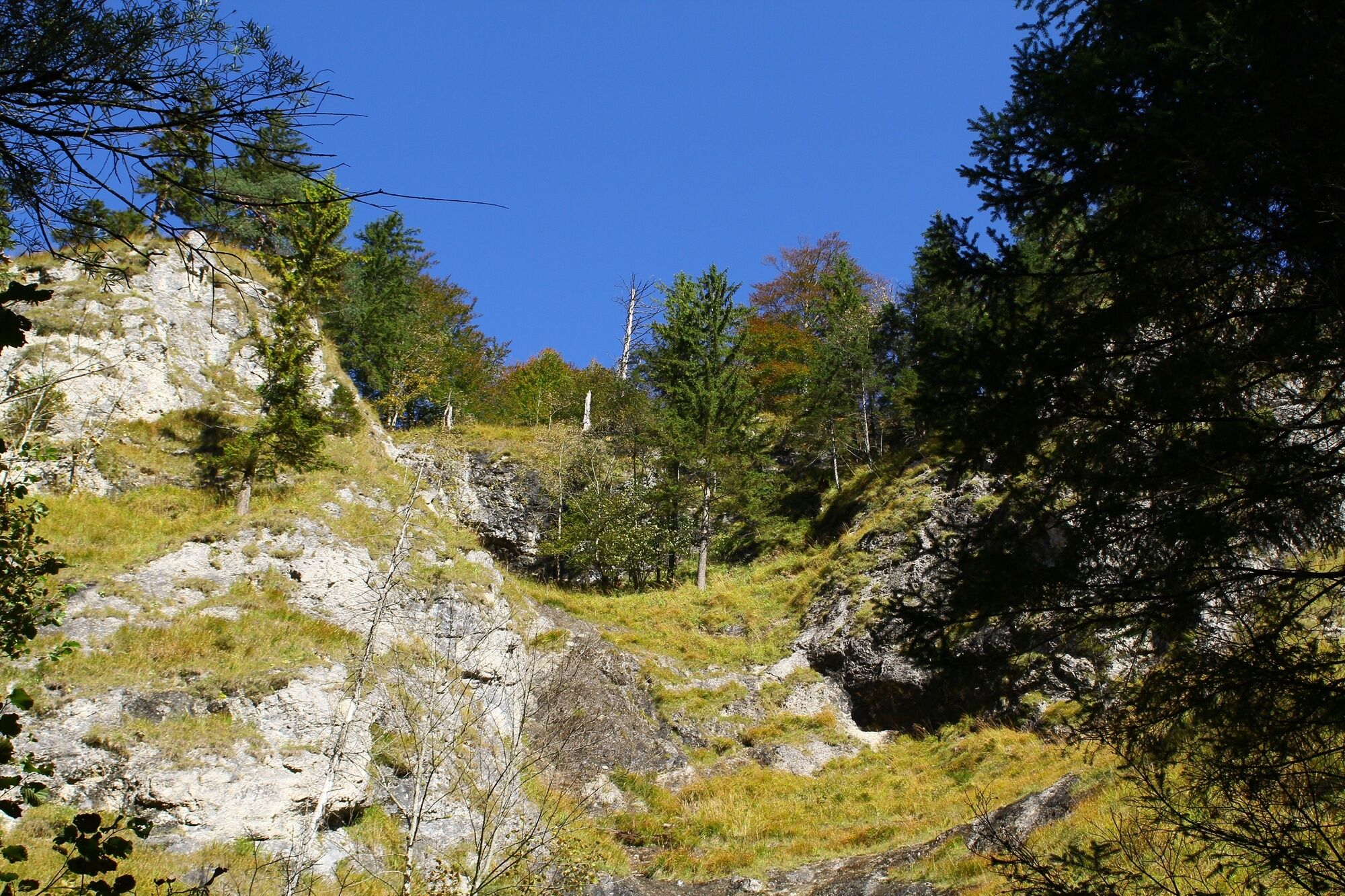

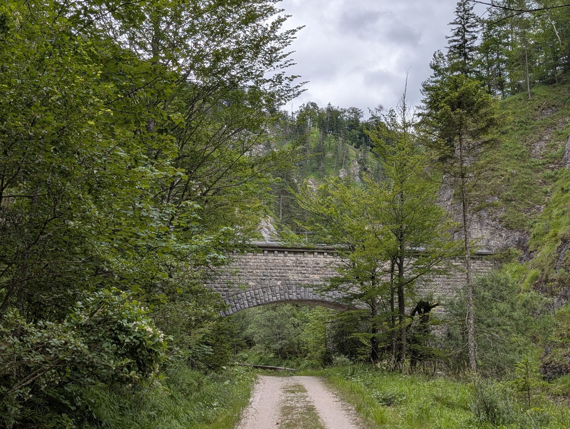
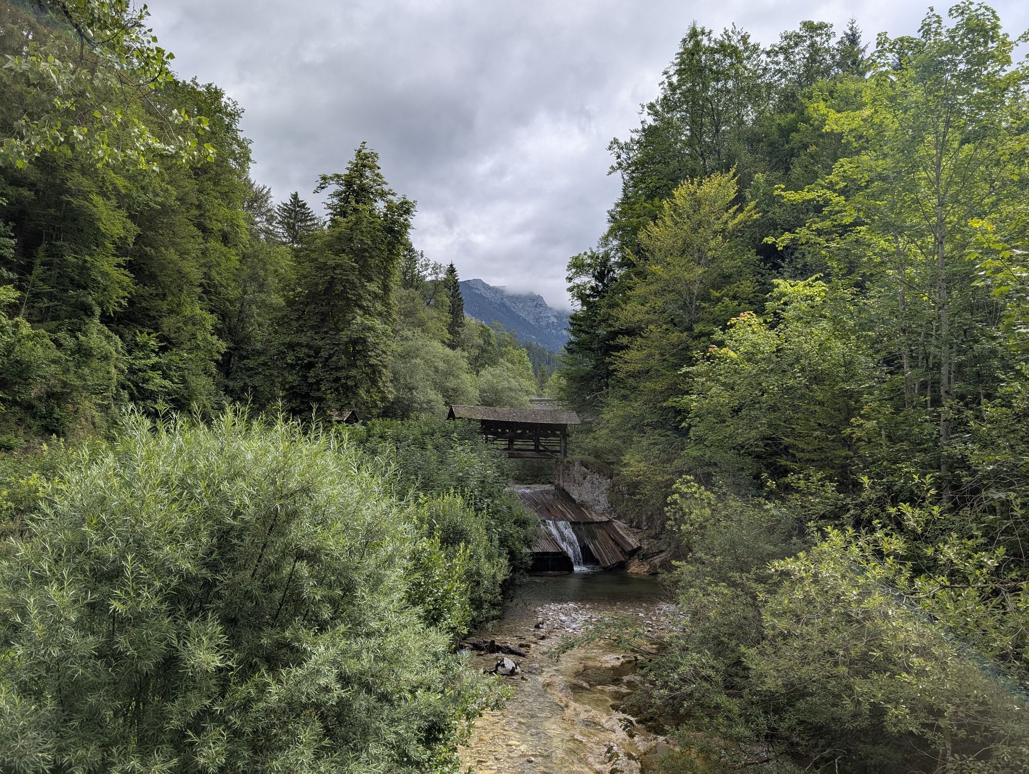
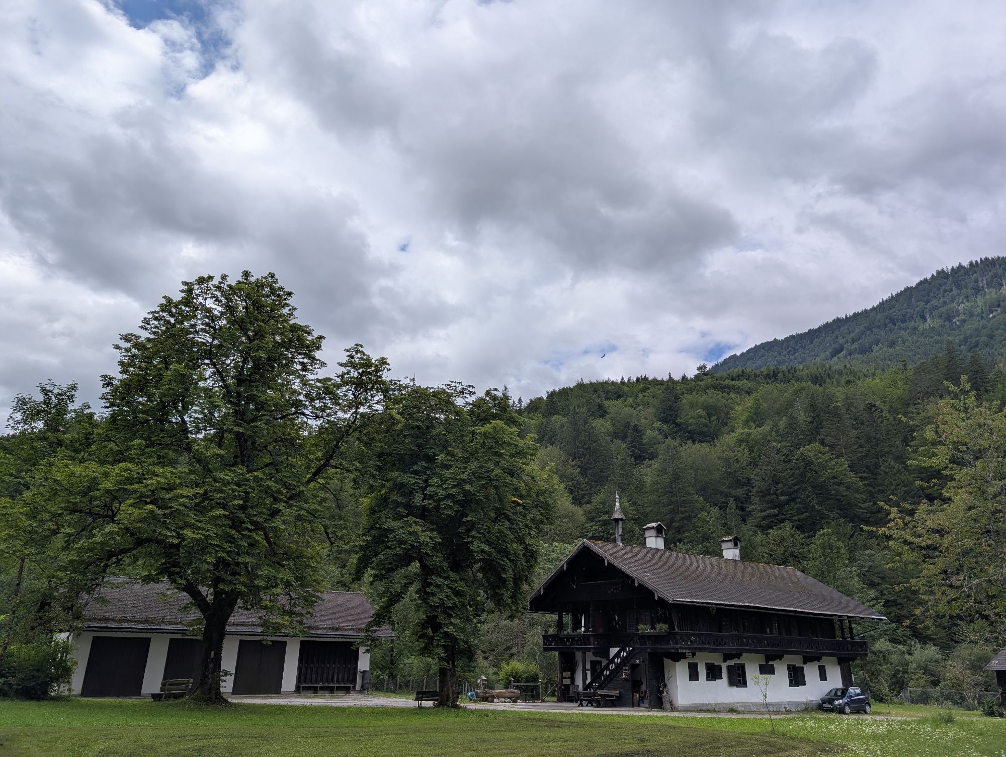
The starting point is the car park " Rotschild ponds ". The route begins through the iron gate arch to Steinbach. Through Steinbach and past the castle lying somewhat higher on the left side after about 900m. Then it continues along the Windischbach, past the Dr. Karl Lueger tunnel and other structures of the II Vienna high spring water pipeline, gently ascending to Windischbachau (approx. 3.4km at approx. 646m). Up to here, it is family-, stroller- and child-friendly. Now the initially and mid-way steep ascent follows along a partly narrow hiking trail up to the mountain ridge at the Tremel at just under 1,200m above sea level.
Hiking equipment with provisions and sufficient drinks
From the start of the climb to the Tremel (after the end of the experience stations), surefootedness and hiking footwear are required.
In stormy weather, there is a danger of falling branches and the path must not be used.
Coming from Linz: A1 exit Oed - direction Aschbach Markt - continue on the B121 to Waidhofen - in Waidhofen/Ybbs take the B31 towards Göstling/Ybbs
Coming from Vienna: A1 exit Ybbs/Donau - direction Eisenstraße - follow the B25 to Göstling/Ybbs
approx. 700m northeast of Göstling on the Ybbs continue into the Steinbachgraben (Ybbssteinbach 34)
Tourism IG Ybbstaler Alpen
+43-7484-93049
In summer, there is the possibility to participate in owl excursions.
Uzyskaj wgląd
Zawsze na żywo z ponad 9 500 kamer internetowych. bergfex Jako użytkownik Pro, możesz teraz zobaczyć odpowiednie kamery internetowe dla wielu wycieczek w aplikacji wycieczki od. Pozwala to na bezpośredni podgląd aktualnych warunków.
Aktywności na trasie
-

Göstling an der Ybbs, Niederösterreich/Österreich
19.08.2026 – Wędrówka -
Göstling an der Ybbs, Niederösterreich/Österreich
15.08.2026 – Wędrówka -

Göstling an der Ybbs, Niederösterreich/Österreich
09.08.2026 – Wędrówka -
Göstling an der Ybbs, Niederösterreich/Österreich
07.07.2026 – Wędrówka -
Göstling an der Ybbs, Niederösterreich/Österreich
07.07.2026 – Wędrówka -

Göstling an der Ybbs, Niederösterreich/Österreich
25.05.2026 – Wędrówka -

Göstling an der Ybbs, Niederösterreich/Österreich
23.05.2026 – Wędrówka -
Eulenweg Steinbach
26.04.2026 – Wędrówka
Popularne wycieczki w okolicy
-
4,5
Das 3 Seen-Erlebnis (Lunzer See - Mittersee - Obersee)
średniWędrówka 9,33 km -
4,7
Hochkar - Schmalzmauer - Geißhöhe - Ringkogel - Schwarzalmhütte - Brunneckerhütte
średniWędrówka 13,2 km -
4,3
Rund um den smaragdgrünen Lunzer See
światłoWędrówka 4,80 km -
4,9
Panoramic summit Maiszinken - alpine experience included
średniWędrówka 12,6 km -
4,8
Kurzeck- Siebenhütten- Turnhöhe- Kitzhütte Göstling an der Ybbs, Österreich
światłoWędrówka 12,8 km -
4,5
Lechner Graben - Ybbstaler Hütte
średniWędrówka 14,2 km -
4,8
Hochkar und Mendlingklamm-Teil 2
światłoWędrówka 6,97 km -
4,9
Lechnergraben-Grünloch-Ybbstalerhütte
światłoWędrówka 9,72 km -
4,4
Palfauer Wasserlochklamm
średniWędrówka 1,78 km -
5,0
Wasserlochklamm Palfau
średniWędrówka 2,86 km

Wędrówki i tropienie


Nie przegap ofert i inspiracji na następne wakacje
Twój adres e-mail została dodana do listy mailingowej.





