







From the Way of St. James to the Wetterkreuz
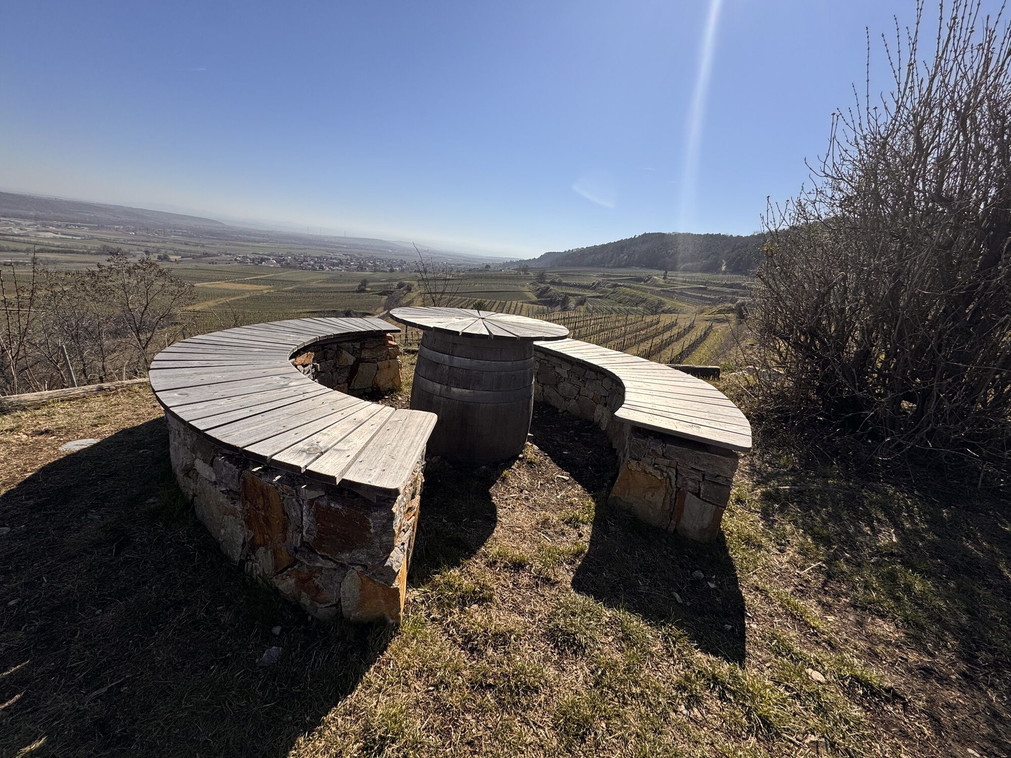
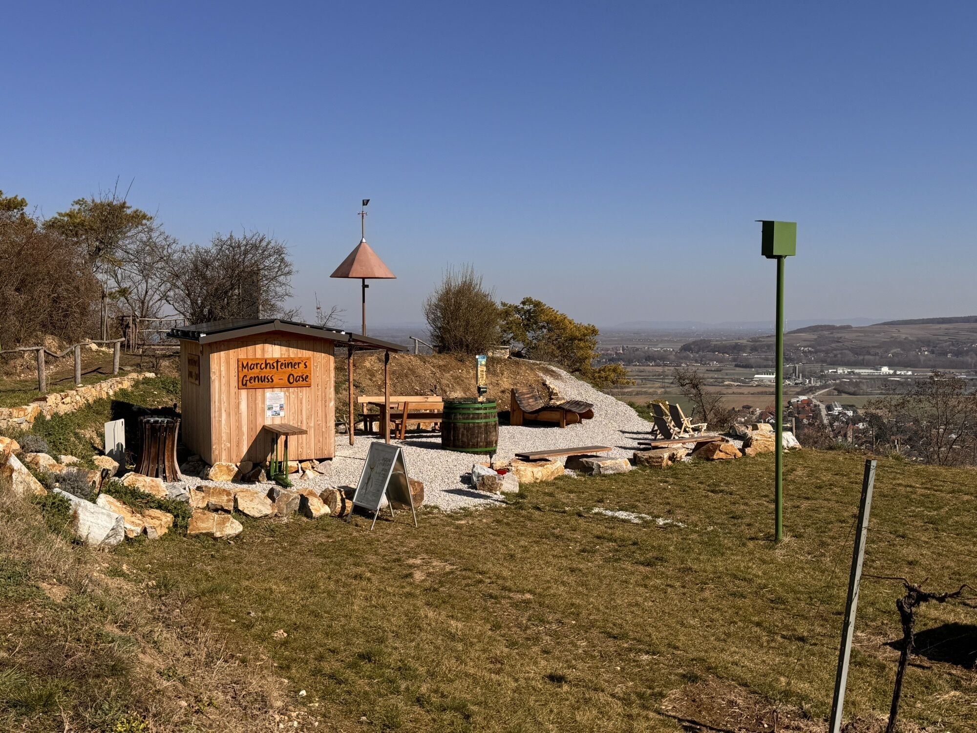

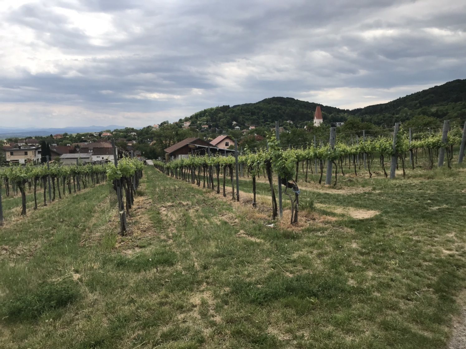
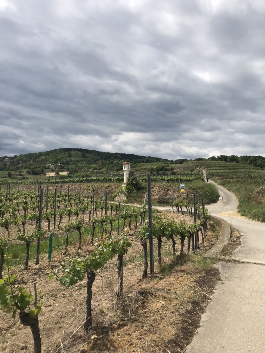
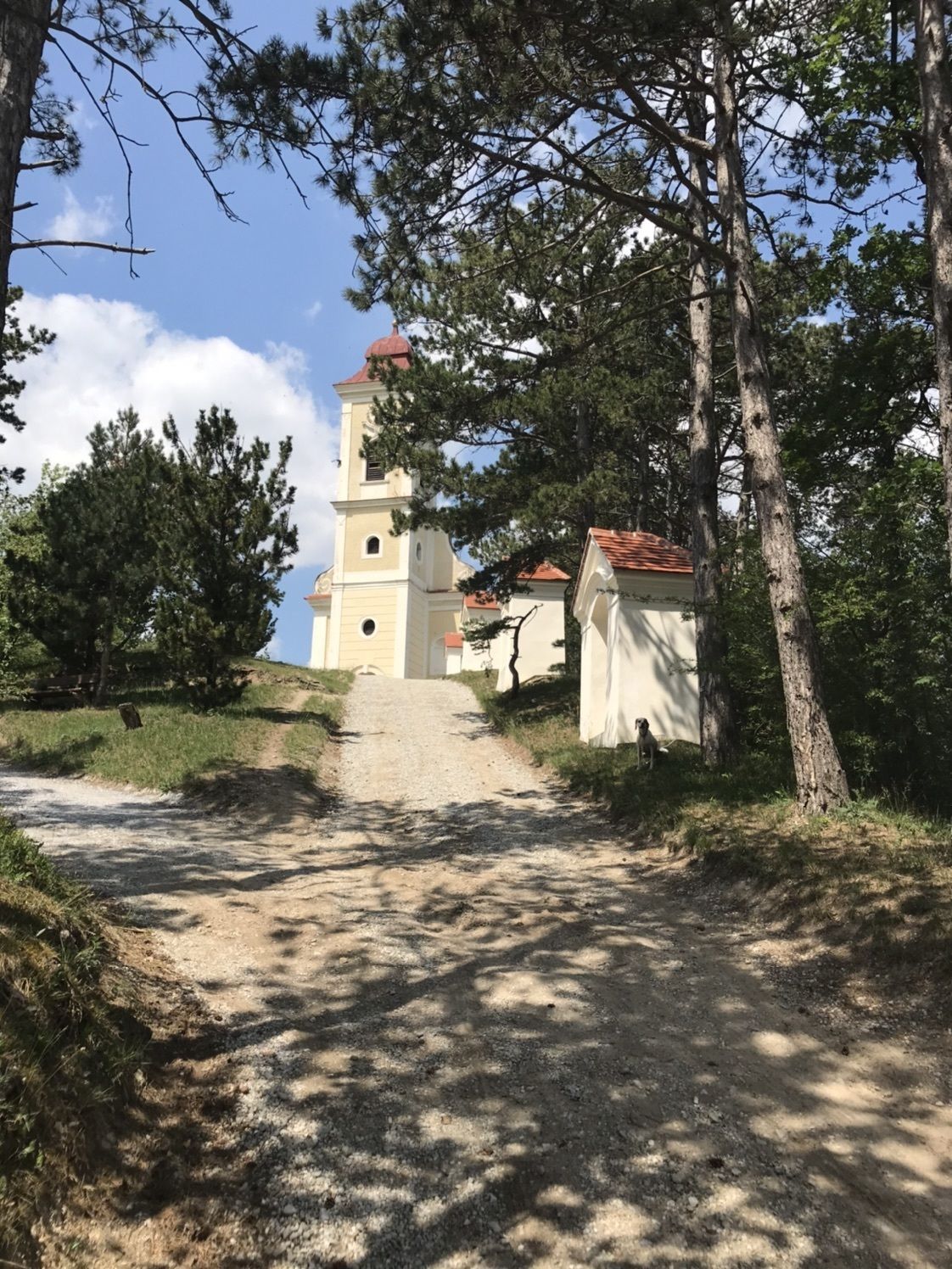
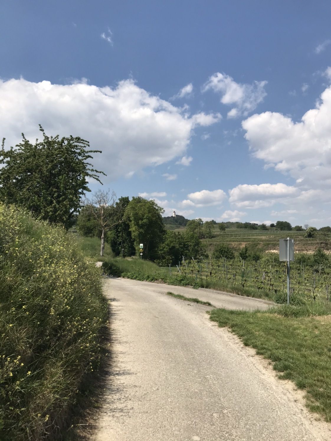
A wonderful, leisurely hiking trail where you can see all kinds of landscapes. Inns and wine taverns invite you to take a break. Farm-gate sales of wine (Traisental wine-growing region), fruit juices (Traisental...
A wonderful, leisurely hiking trail where you can see all kinds of landscapes. Inns and wine taverns invite you to take a break. Farm-gate sales of wine (Traisental wine-growing region), fruit juices (Traisental fruit juice region) and much more are on offer. There are benches and tables for refreshments. There are also several cultural attractions along the way. Our hiking trails mostly lead through open terrain and are not overrun by tourism.

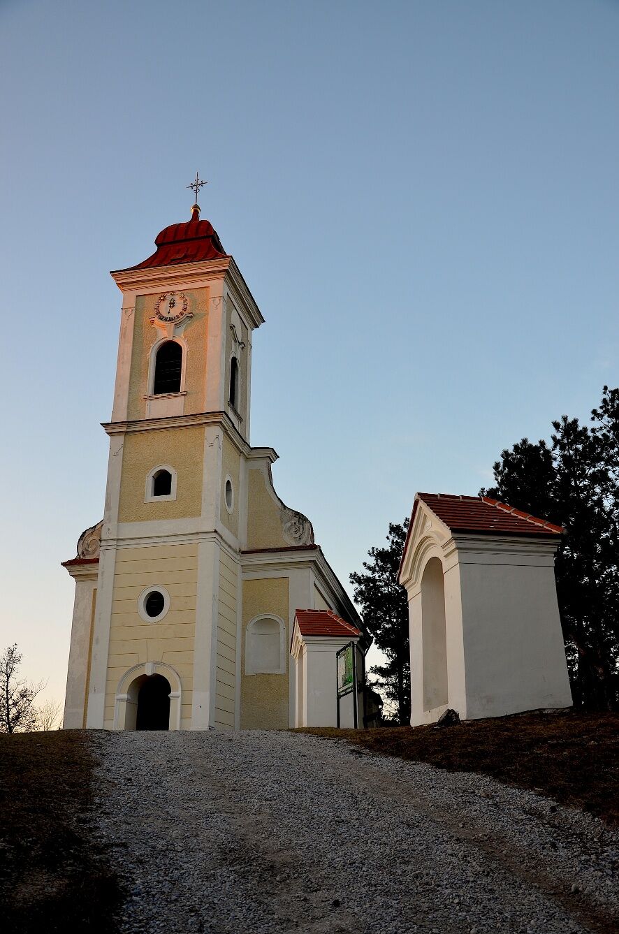
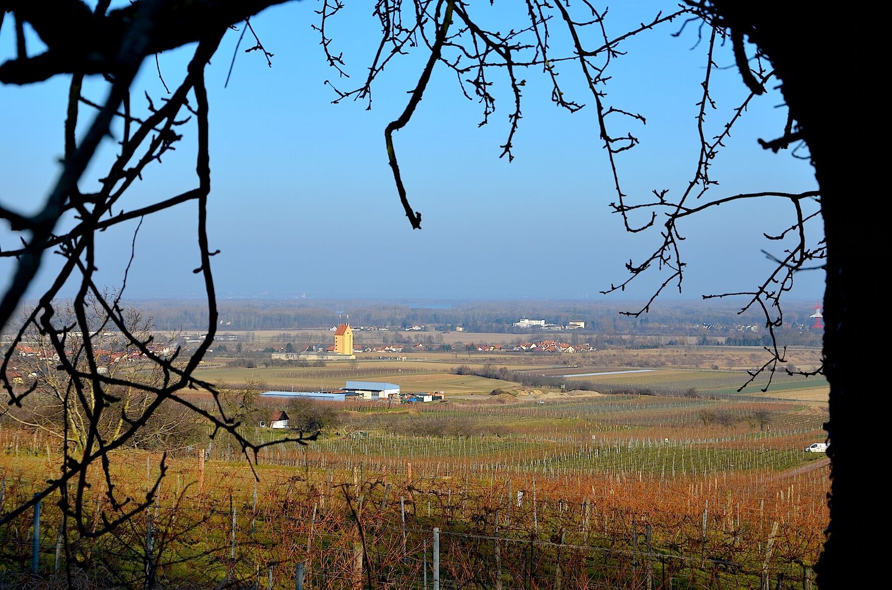
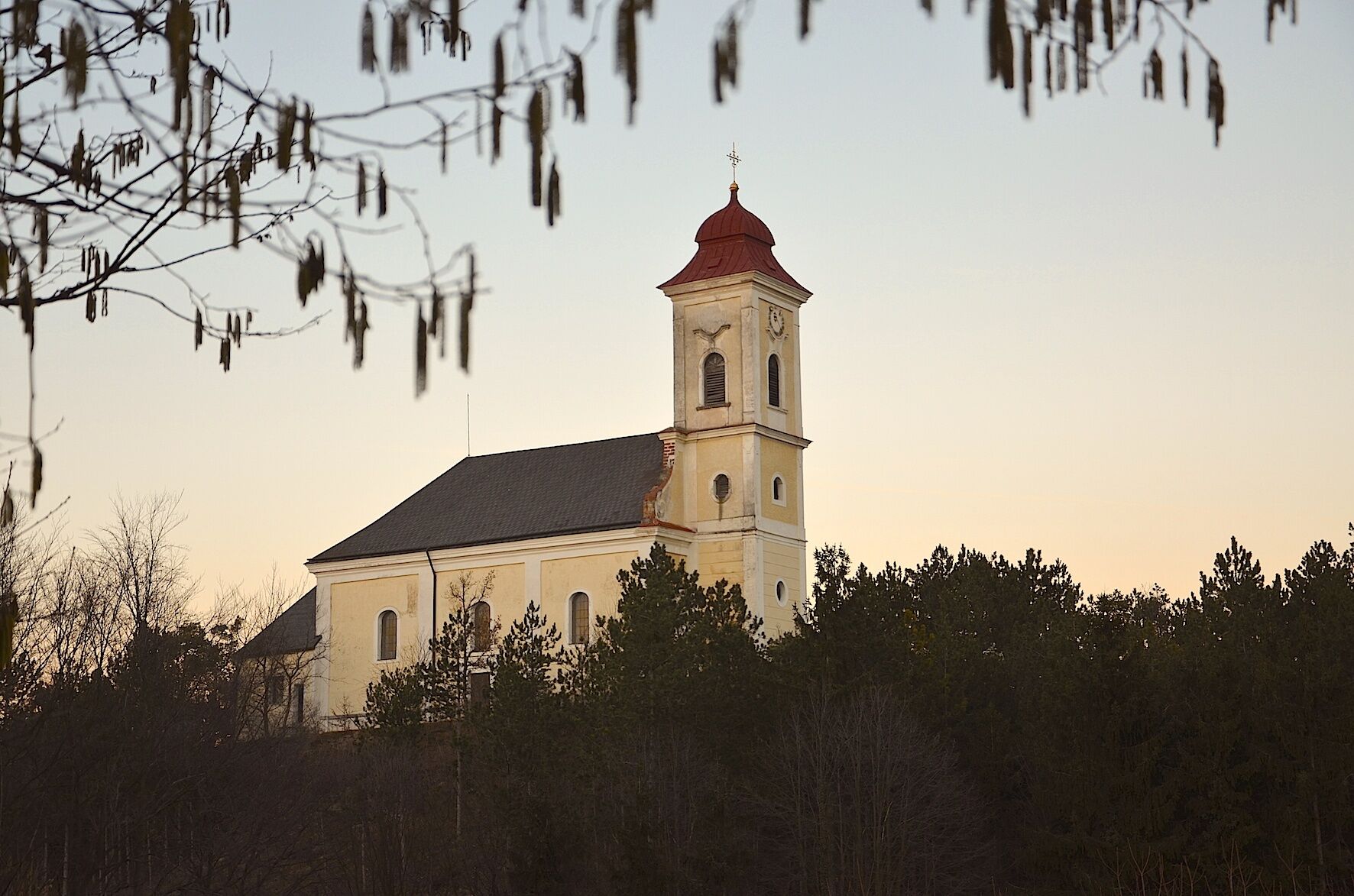
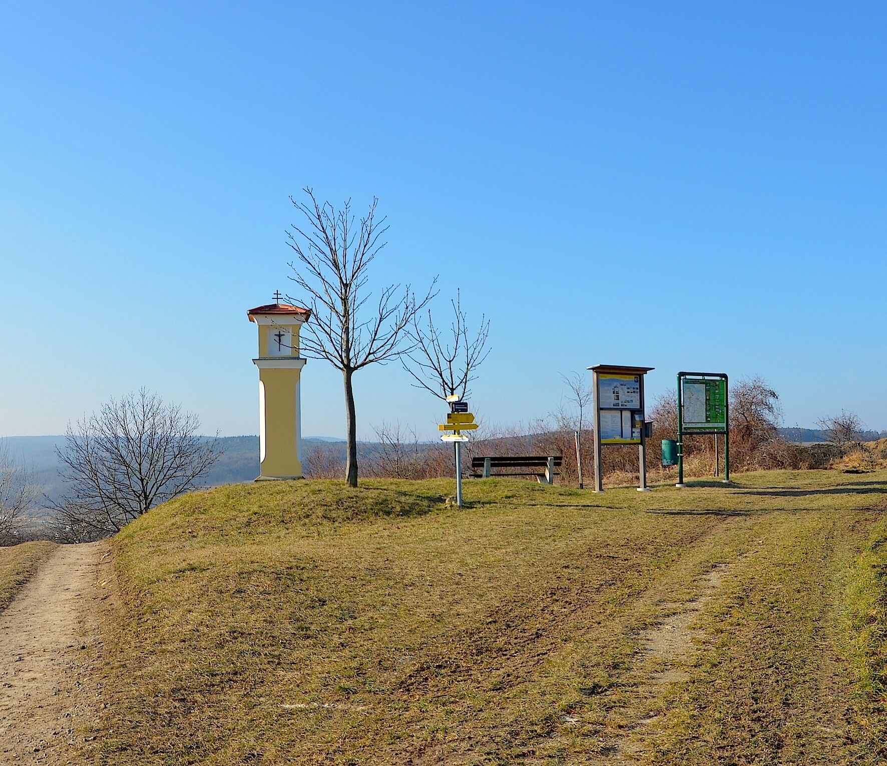
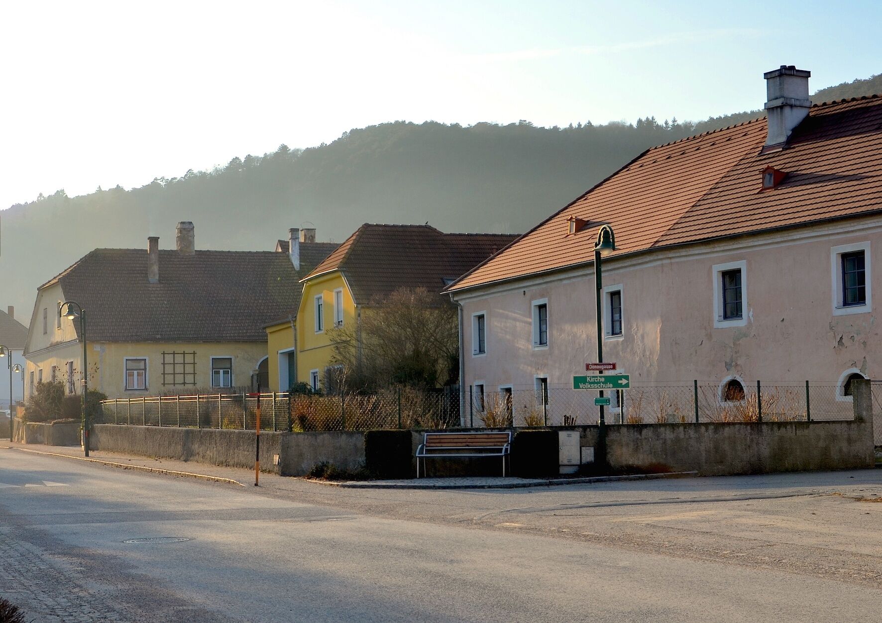
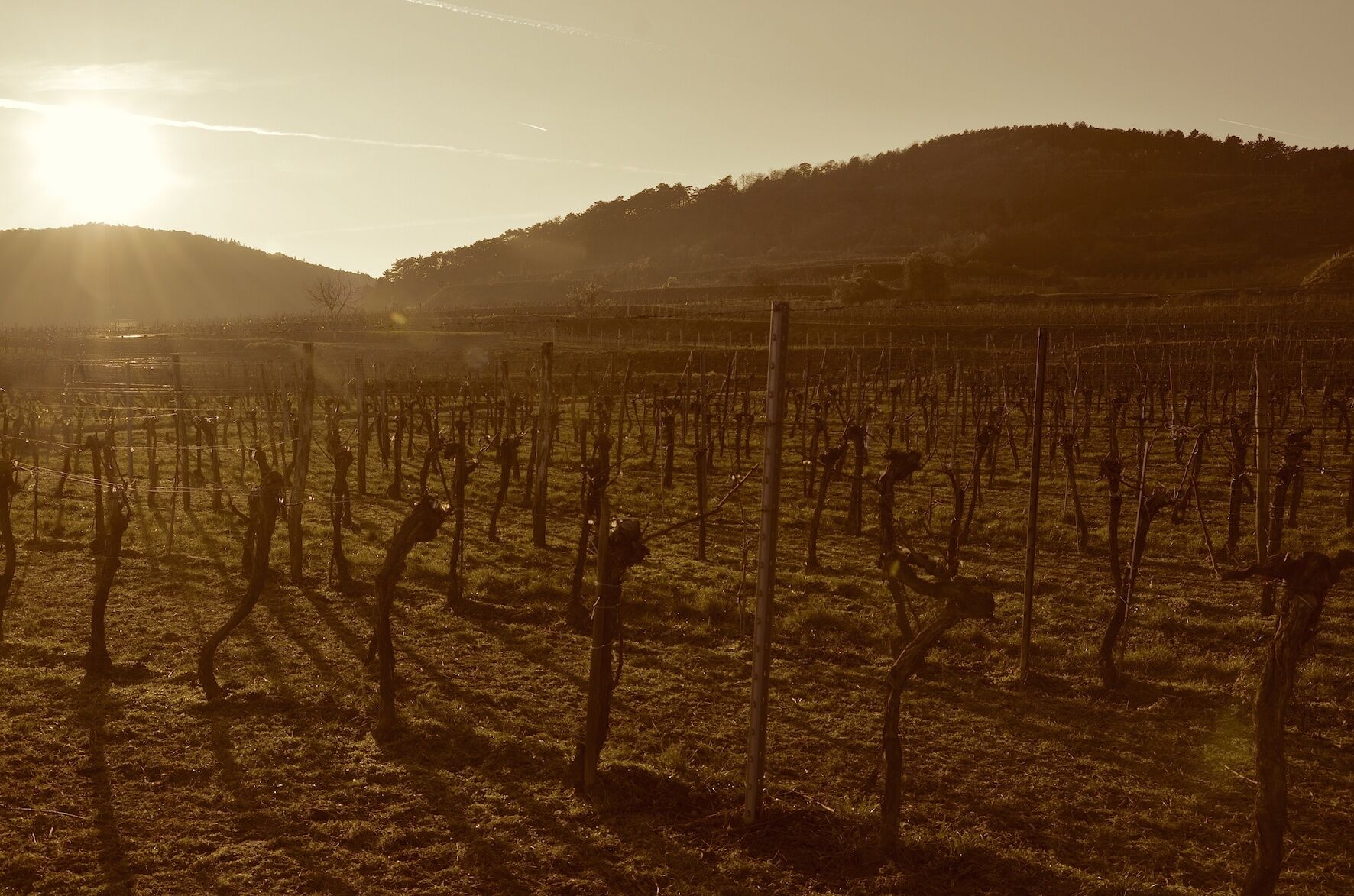
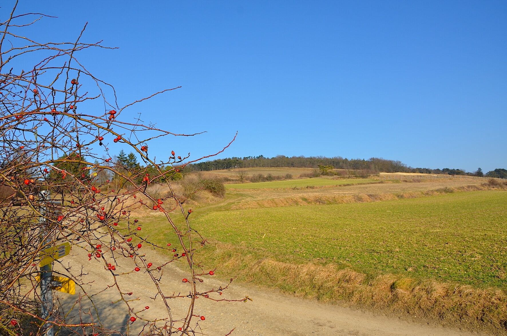
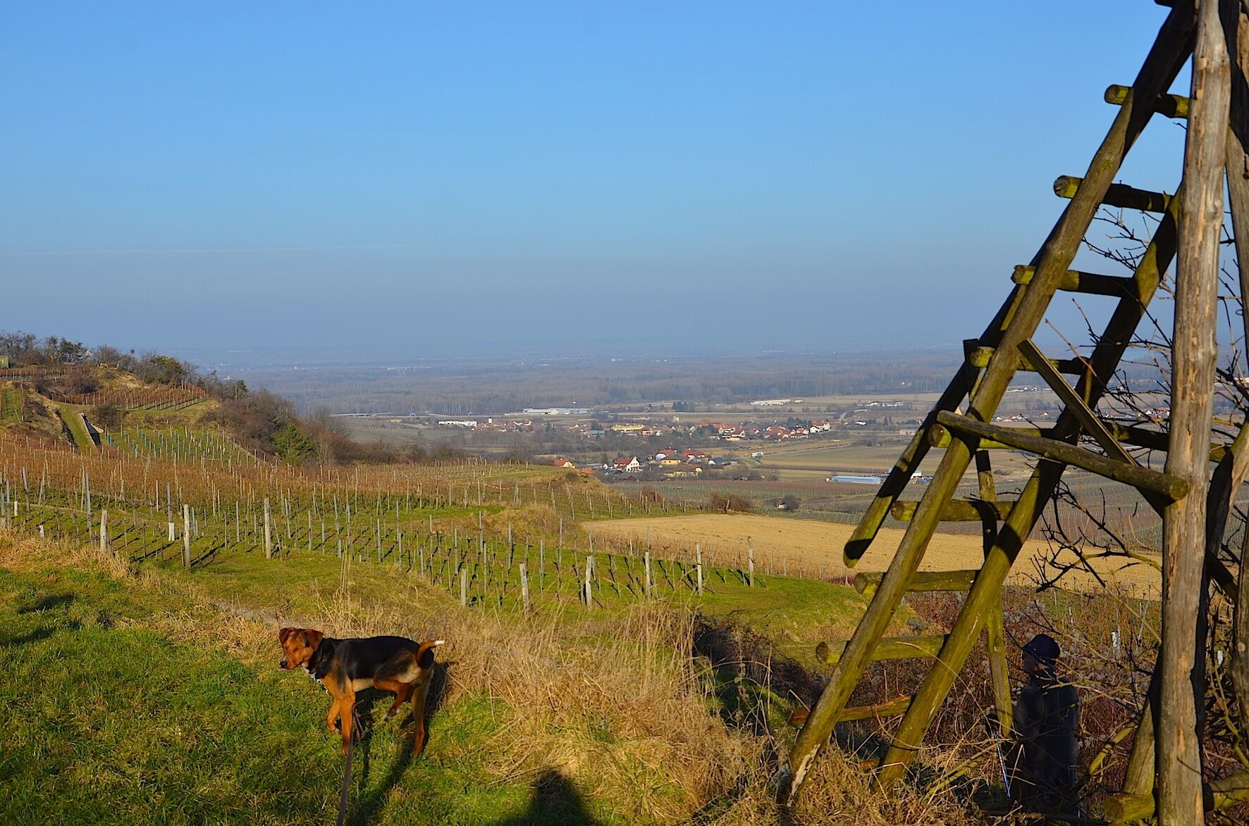

Starting at about 360 meters in elevation, the path leads through forest as well as wine and fruit orchards over the town of Nußdorf ob der Traisen (245 meters in elevation) to the respective destination.
The hiking trail is marked with yellow signage according to the Lower Austria hiking trail concept "Wetterkreuz" and in the opposite direction with "to the Way of St. James".
Suitable hiking shoes are recommended.
Via the A1 motorway and the S33 to Nußdorf ob der Traisen or Reichersdorf – exit "Traismauer South"
By train to Traismauer or Herzogenburg, then by bus to Nußdorf ob der Traisen.
By bus coming from Vienna via Traismauer or from St. Pölten.
In Inzersdorf
Market town Nußdorf ob der Traisen: http://www.nussdorf-traisen.gv.at/
Inn Spannagl in Nußdorf: http://www.spannagl.at
Wine taverns in the region: http://www.traisental.info/de/default.asp?ci=weinstr
Rooms in the region: http://www.traisental.info/de/?id=114171
Further tourism information at: http://www.traisental.info
Wine in the Traisental: http://www.traisentalerwein.at/ or
http://www.oesterreichwein.at/unser-wein/weinbaugebiete/niederoesterreich/traisental/
Don't forget your camera! Take your time and let the hike end leisurely at one of the inns or many wine taverns. To enjoy the hike even at home, it is advisable to take a supply of wines or fruit juices with you.
Popularne wycieczki w okolicy
-
4,6
Welterbesteig Wachau 01: Krems-Dürnstein
światłodługodystansowy szlak pieszy 12,3 km -
4,8
Vogelbergsteig -Kanzel- Fesselhütte - Ruine Dürnstein zum Heurigen in Furth
średniWędrówka 7,59 km -
4,6
Krems (Welterbesteig) - Dürnstein - Vogelbergsteig - Kanzel - Fesslhütte - Krems
średniWędrówka 18,0 km -
4,4
Wachauer Marillenerlebnisweg, Krems-Angern
światłoWędrówka 6,04 km -
4,7
Wine and Water Round to the Kamptalwarte on Heiligenstein, no. 65
średniWędrówka 9,93 km -
4,8
Wachau: Panoramaweg Rossatz
światłoWędrówka 10,8 km -
4,3
Mammutbäume, Waxenberg und Göttweig
średniWędrówka 12,1 km -
4,7
Weinweg Langenlois - wohin ? in und um Wien
światłoWędrówka 5,68 km -
4,7
Smaragdeidechse Wachau
światłoWędrówka 4,78 km -
4,9
Rundwanderung Reisperbachtal, Donauwarte & Schreckberg
średniWędrówka 8,89 km
Wędrówki i tropienie


Nie przegap ofert i inspiracji na następne wakacje
Twój adres e-mail została dodana do listy mailingowej.





