






Ramingerweg-Dambergblick 334
The trail leads to Kleinraming in Upper Austria. Directly in front of the hiker is the 881-metre-high Damberg, which forms the link to the Enns Valley.

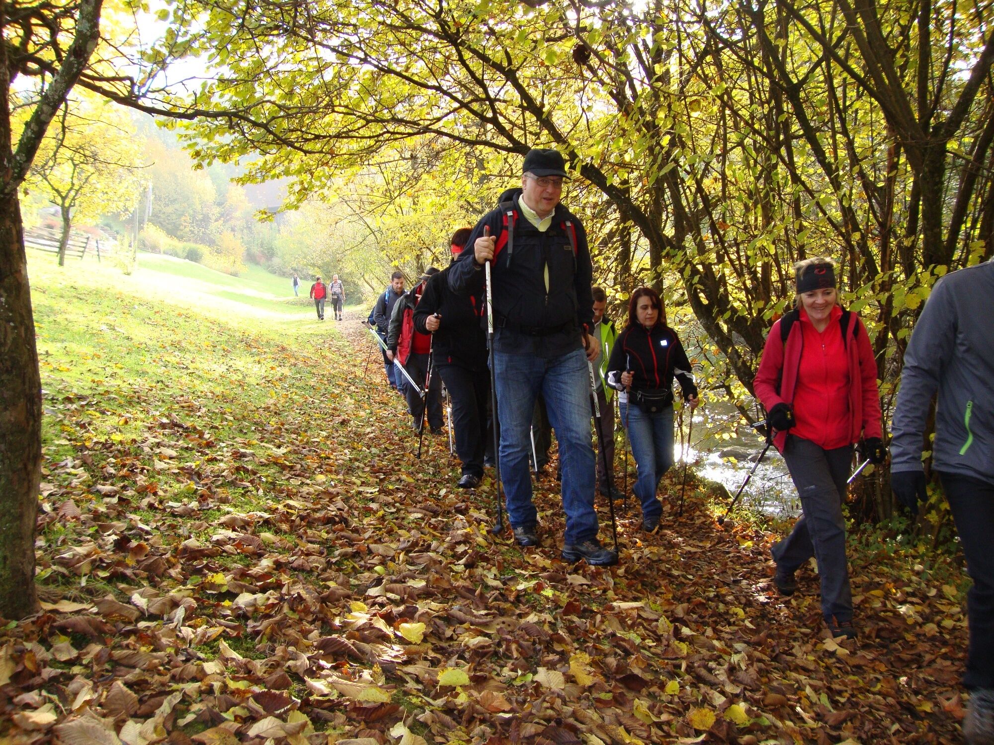
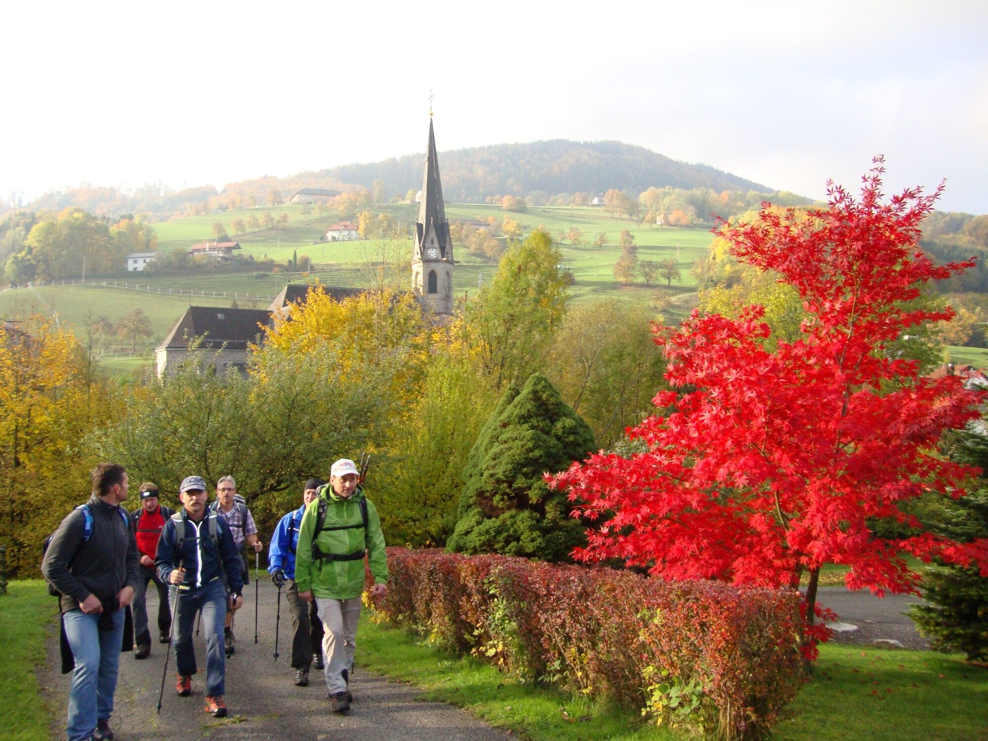
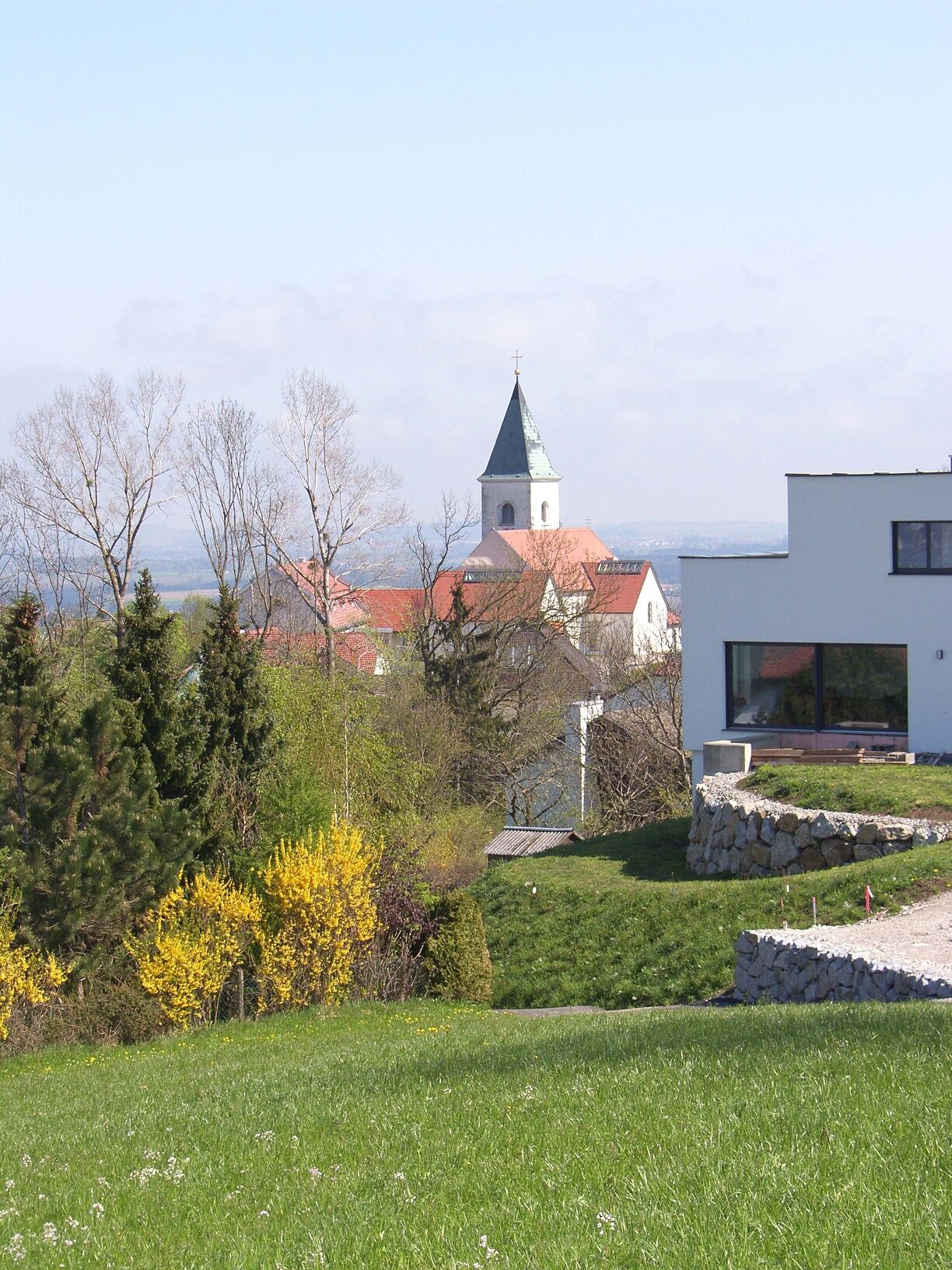

From the starting point in the town center of Behamberg, the path leads southwest along the main street. Shortly before leaving the town, a path branches off to the left and leads up a meadow path towards Daxberg. On the meadow path, you reach the service road Poststraße and from there again onto a field path that leads to the Karlmayr Chapel. Further downhill, always with the parish church of Kleinraming in sight, an asphalted and gravel road leads into the town center of Kleinraming. After visiting the Marian church of Kleinraming, the same path leads back to the four-sided "Schaumberger" where the path crosses again with Poststraße. Along Poststraße and then left to "Penzn" over a field path to the game enclosure. Alongside the game enclosure to the meadow and to Kindlehen. Via the service road Kindlehen, the path leads back to the village and the starting point of this rewarding circular route.
Trail marker: Ramingerweg-Dambergblick 334
No special equipment necessary
Via federal roads 122 or 42 (15 km from the Haag motorway junction).
Public bus service to Behamberg
Sufficient parking spaces are available in the town center.
Responsible for the content of this tour
Mostviertel
Last updated: 23.11.2025
Culinary delights await at the inn in the town center of Behamberg with a wonderful view from the guest garden.
Kamery internetowe z trasy
Uzyskaj wgląd
Zawsze na żywo z ponad 9 500 kamer internetowych. bergfex Jako użytkownik Pro, możesz teraz zobaczyć odpowiednie kamery internetowe dla wielu wycieczek w aplikacji wycieczki od. Pozwala to na bezpośredni podgląd aktualnych warunków.
Popularne wycieczki w okolicy
-
4,8
Steinerner Jäger (1185m) und Schieferstein (1206m) ab Parkplatz Hochhabichler
średniWędrówka 4,46 km -
4,7
Steinerner Jäger (1185m) und Schieferstein (1206m) ab Parkplatz Hack
ciężkiWędrówka 8,58 km -
4,3
Freithofberg
średniWędrówka 9,15 km -
4,8
Enns Active Trail Ternberg
średniWędrówka 9,61 km -
4,4
Kleine Gipfelrunde Glasenberg
światłoWędrówka 4,99 km -
3,9
Sonnkogel (1177m) und Hohe Dirn (1134m) ab Parkplatz Hohe Dirn
średniWędrówka 7,71 km -
4,9
Dambergwarte
światłoWędrówka 3,28 km -
3,8
Hohe Dirn über Hintsteinrunde
światłoWędrówka 6,77 km -
4,4
Sebaldusweg stage 2 of 4 | Laussa - Maria Neustift
średniTrasa pielgrzymki 20,9 km -
4,1
MTB-Tour Hohe Dirn (von Losenstein)
średniMountainbike 26,4 km
Wędrówki i tropienie


Nie przegap ofert i inspiracji na następne wakacje
Twój adres e-mail została dodana do listy mailingowej.





