


Panoramaweg "Fuchs"
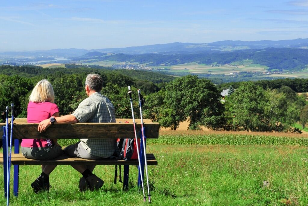
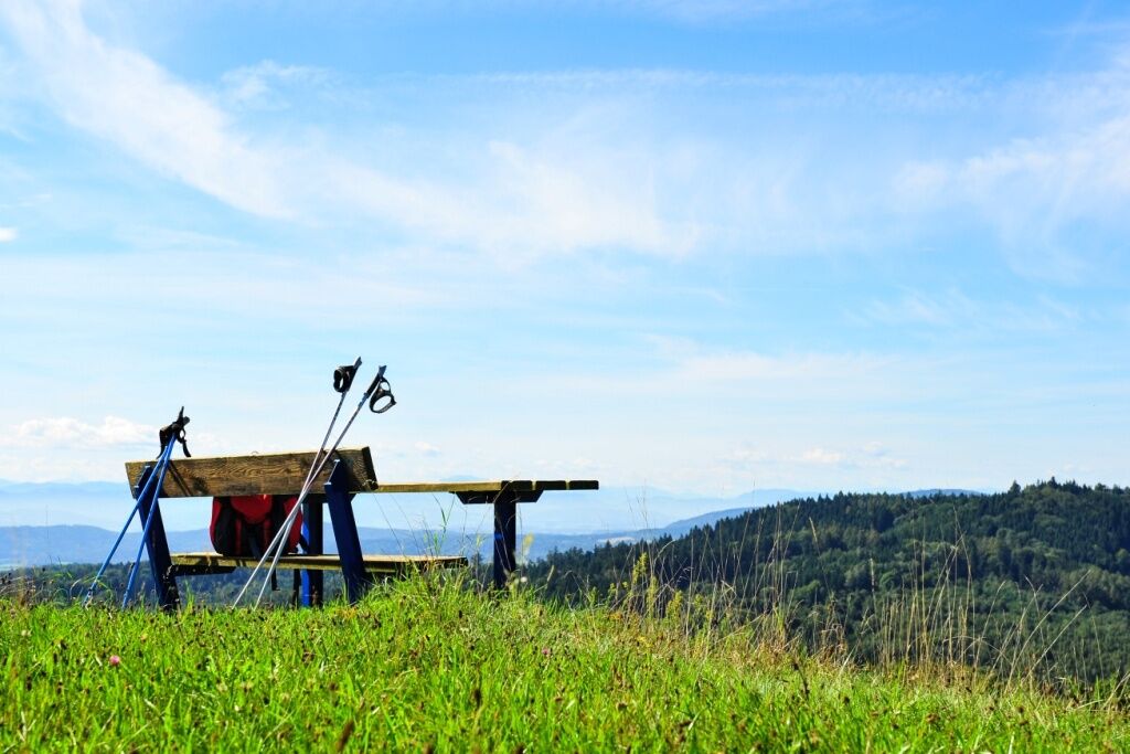
Gerolding lies in the hilly, wooded landscape of the Dunkelsteinerwald at 425 m above sea level. Nature has a lasting influence on people. The people of the market town of Dunkelsteinerwald are well aware...
Gerolding lies in the hilly, wooded landscape of the Dunkelsteinerwald at 425 m above sea level. Nature has a lasting influence on people. The people of the market town of Dunkelsteinerwald are well aware of this. They are down-to-earth, nature-loving people who look after their treasures and are happy to share them with guests.


Feste Wanderschuhe, Regenschutz, ausreichend Getränke und Verpflegung sowie Wanderkarte Dunkelsteinerwald.
Tipp: An heißen Tagen Sonnencreme und Kopfbedeckung nicht vergessen!
Gerolding: A1 Abfahrt Loodorf, weiter nach Loosdorf und auf L106 Richtung Aggsbach-Dorf. In Umbach links abbiegen auf L5355 nach Gerolding.
Gerolding: Postbus L1536 nach Loosdorf
Kostenlose Parkmöglichkeiten sind am Dorfplatz in Gerolding gegeben.
Verantwortlicher für den Inhalt dieser Tour
Mostviertel
Letzte Aktualisierung: 07.10.2025
Popularne wycieczki w okolicy
-
4,5
Maria Langegg - Rote Wand - Hoher Stein - Kastlkreuz
średniWędrówka 11,4 km -
3,9
Spitz a. d. Donau Jauerling Schwallenbach retour 16.04.2016
średniWędrówka 20 km -
3,9
Spitz - Buchberg - Runde
średniWędrówka 9,60 km -
5,0
Welterbesteig Wachau 08: Emmersdorf-Melk
światłodługodystansowy szlak pieszy 9,90 km -
4,1
Rote Wand und Hoher Stein
średniWędrówka 7,80 km -
4,6
Welterbesteig Wachau 06: Maria Laach-Aggsbach Markt (Naturpark Jauerling-Wachau)
światłodługodystansowy szlak pieszy 7,04 km -
4,4
AGGSTEIN Ruine, Aggstein, Druidentürme und zurück 20241019
średniWędrówka 7,50 km -
4,0
Welterbesteig Wachau 07: Aggsbach Markt-Emmersdorf (Naturpark Jauerling-Wachau)
światłodługodystansowy szlak pieszy 14,6 km -
4,2
Michaelerberg in der Wachau
średniWędrówka 7 km -
5,0
Gipfelkreuz-Rundwanderweg - Loosdorf
światłoWędrówka 5,45 km

Wędrówki i tropienie


Nie przegap ofert i inspiracji na następne wakacje
Twój adres e-mail została dodana do listy mailingowej.