







Nature park entrance Eibenboden: Vorderen Tormäuer - Nestelbergrunde
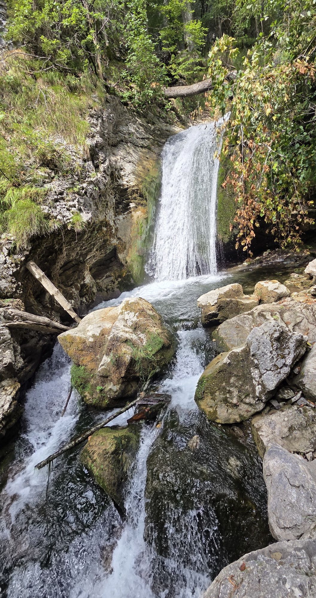
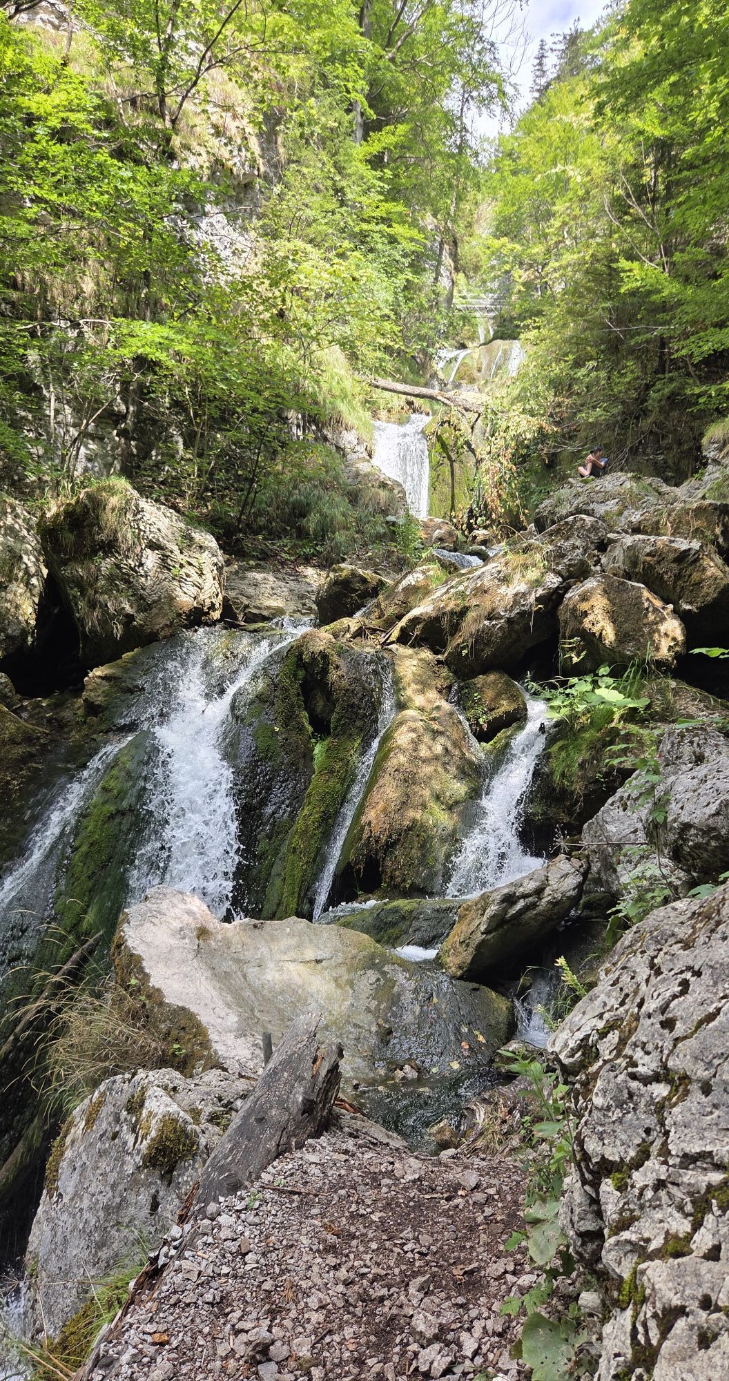
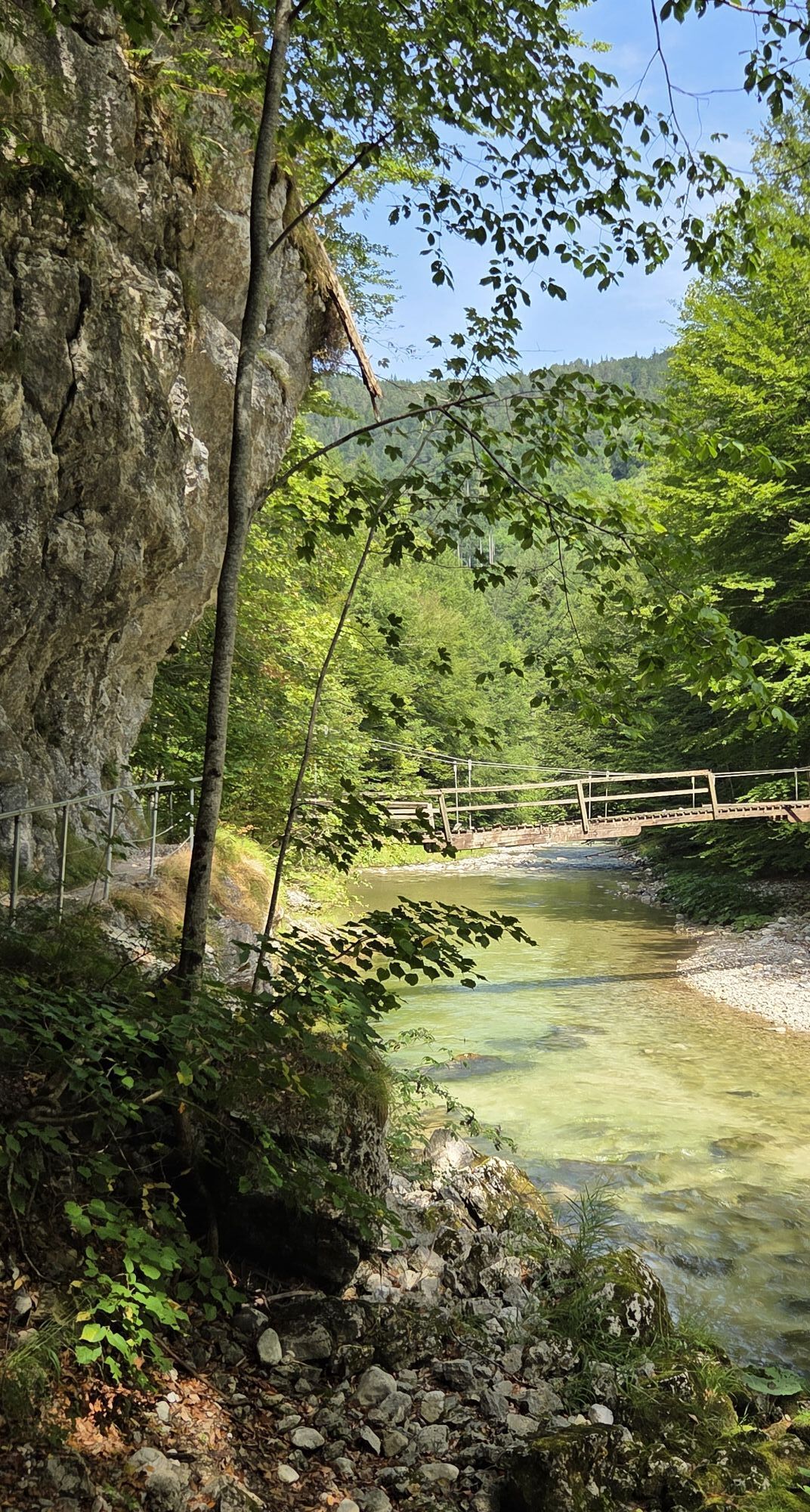
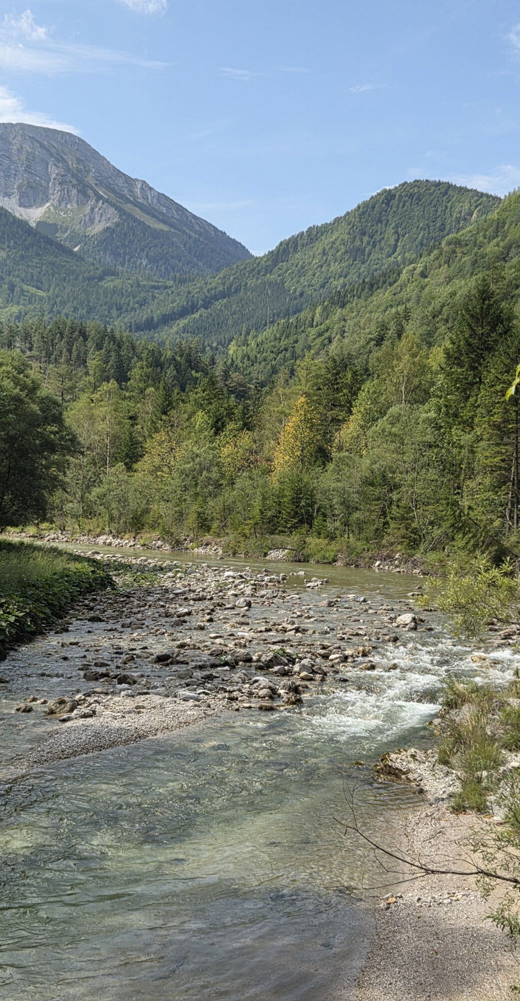
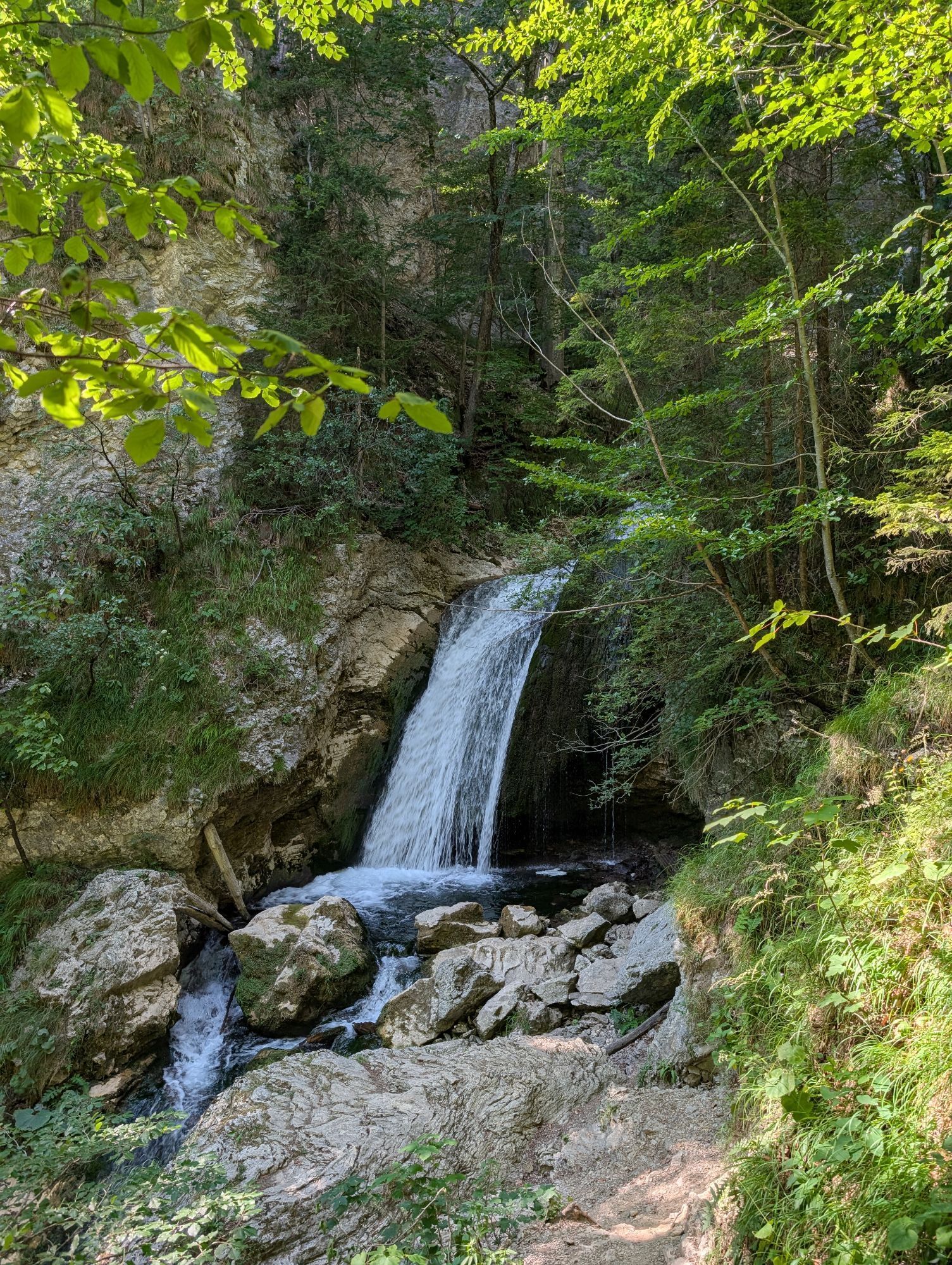
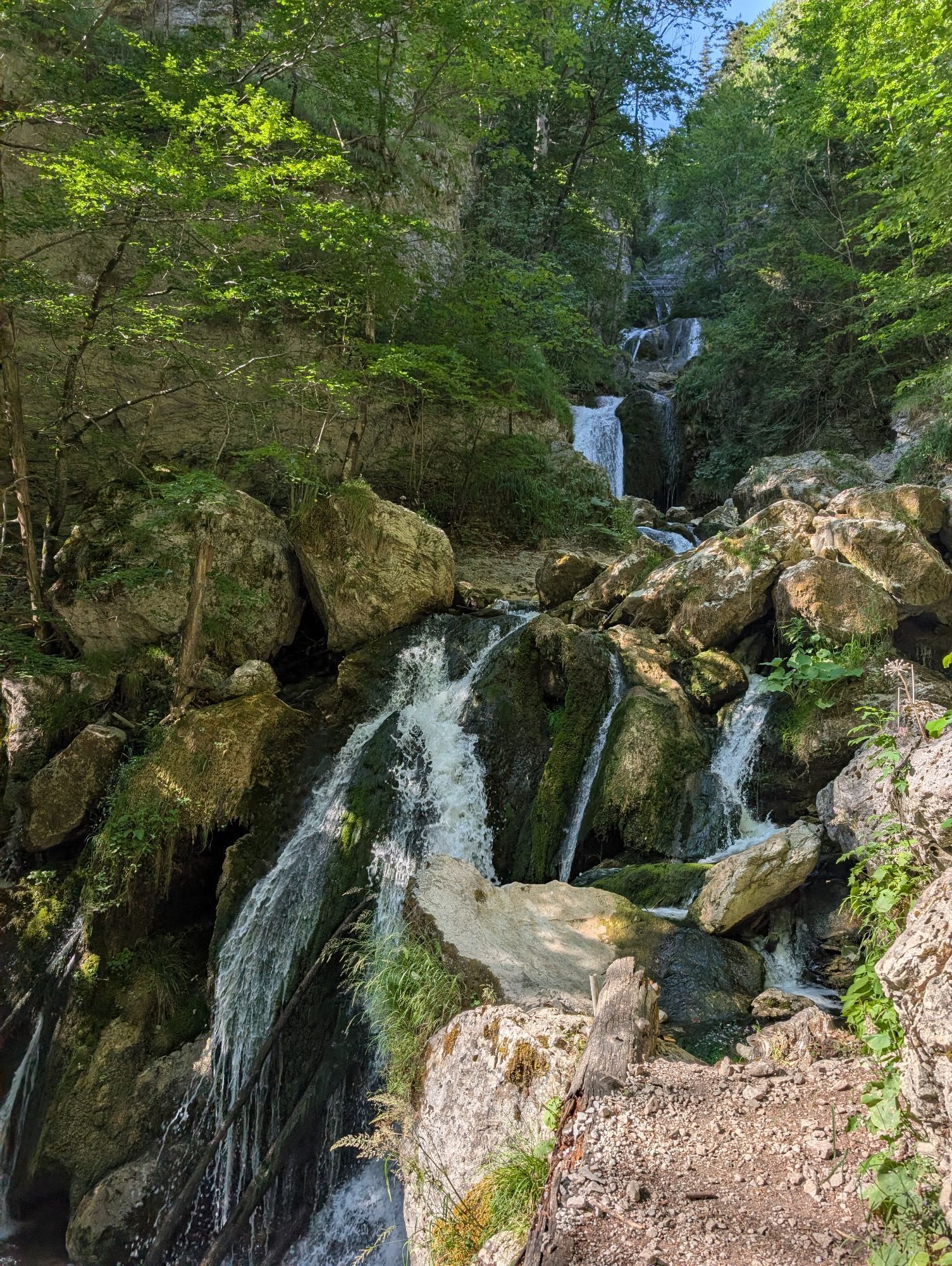
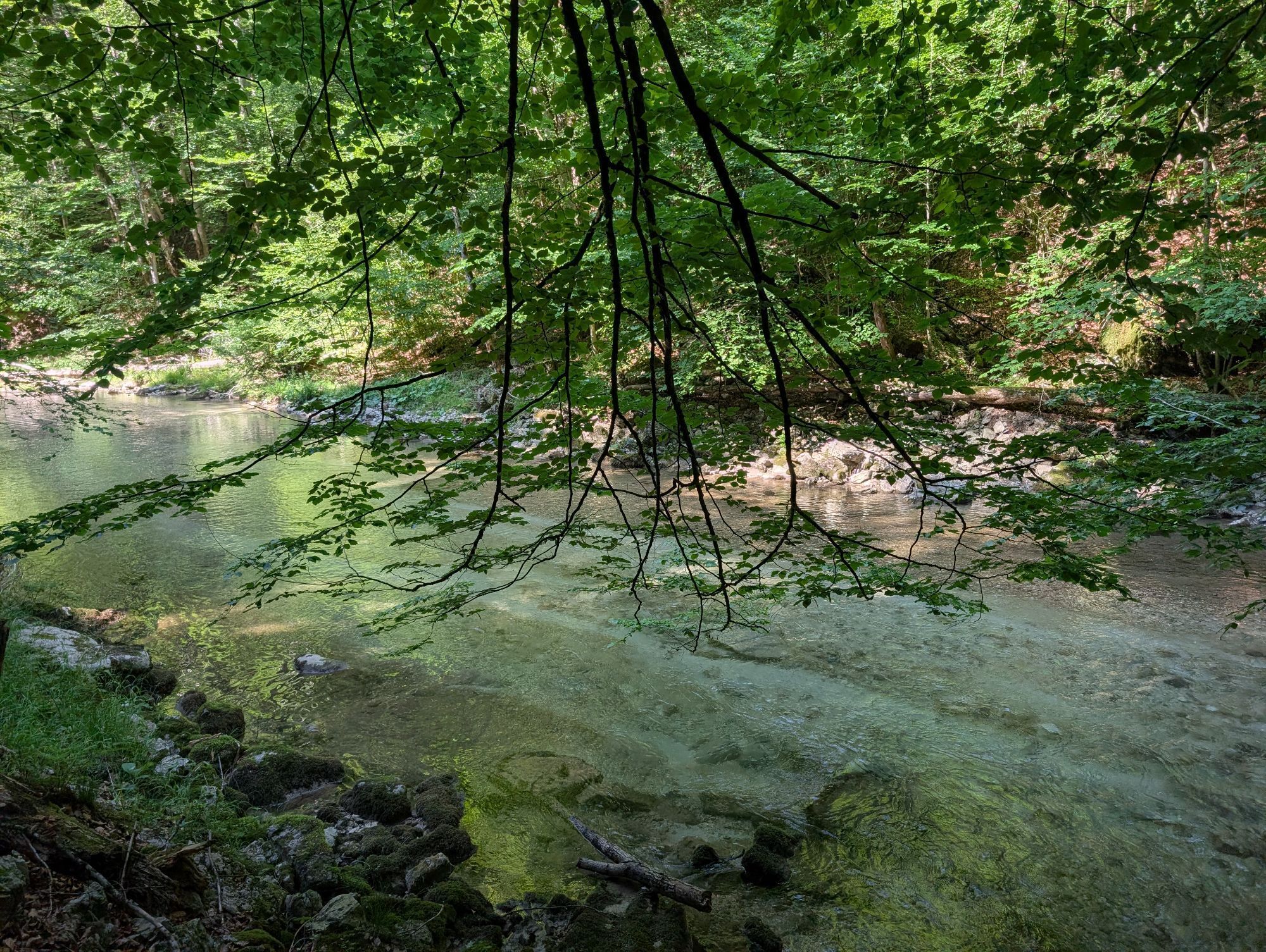
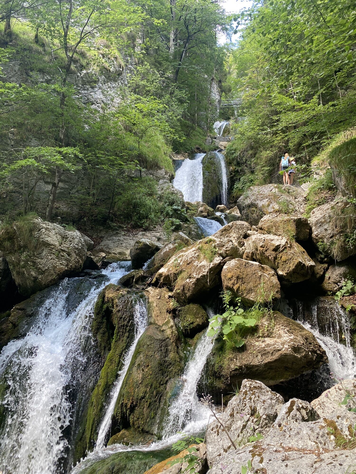
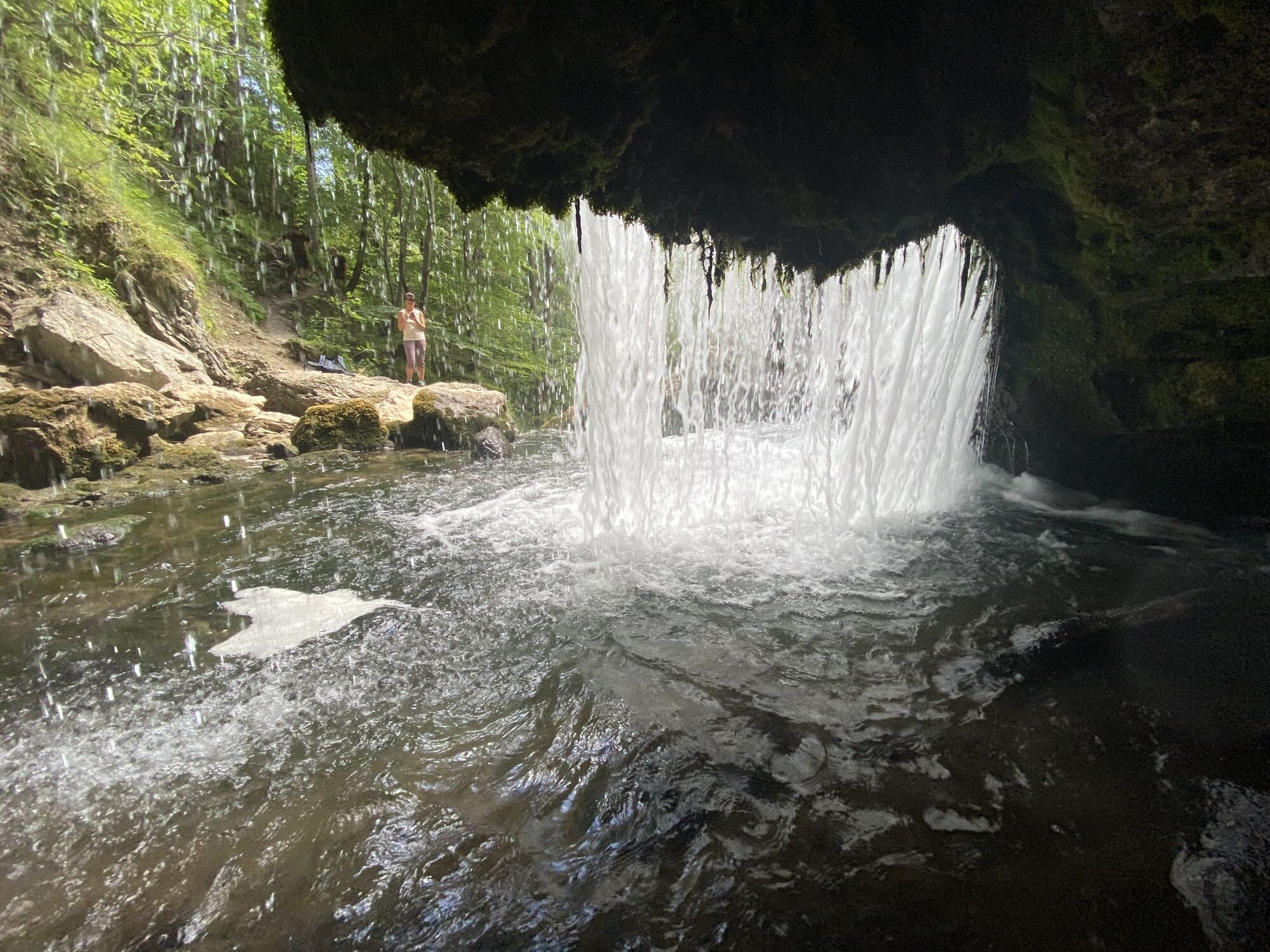
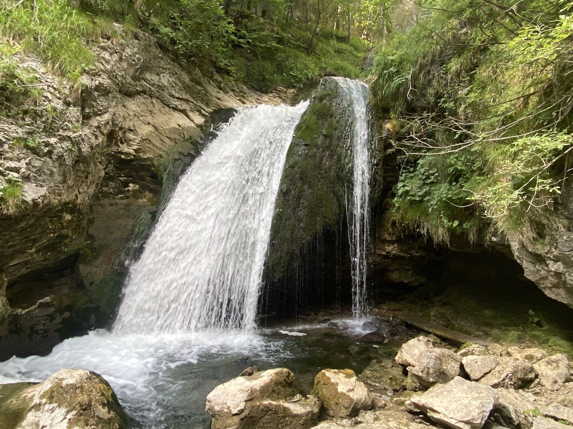
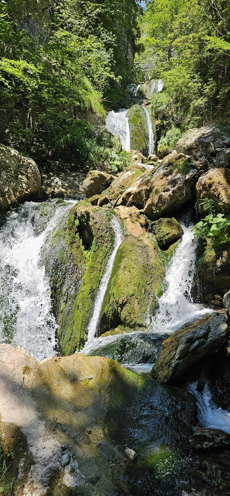
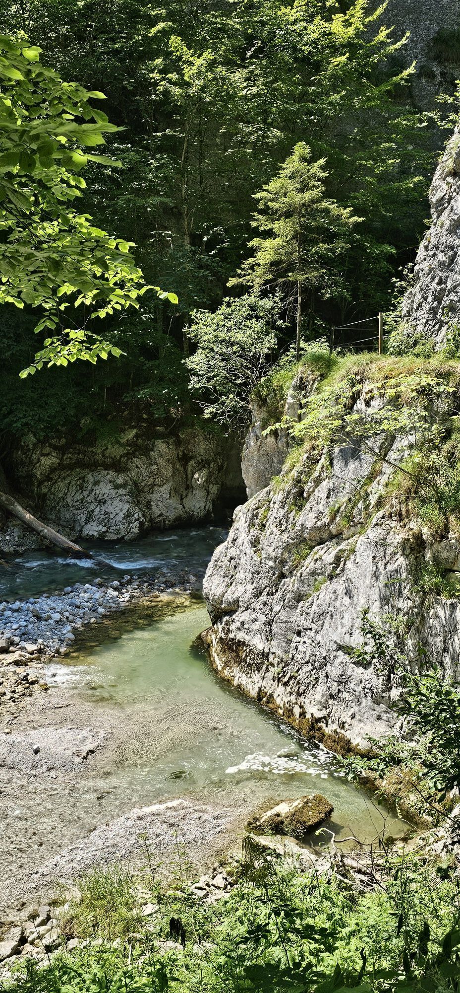
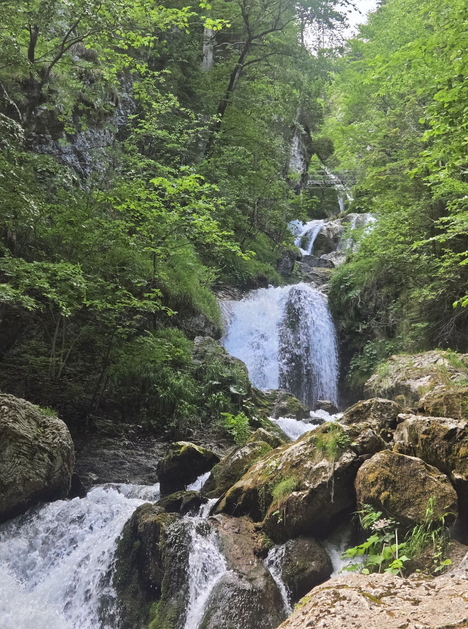
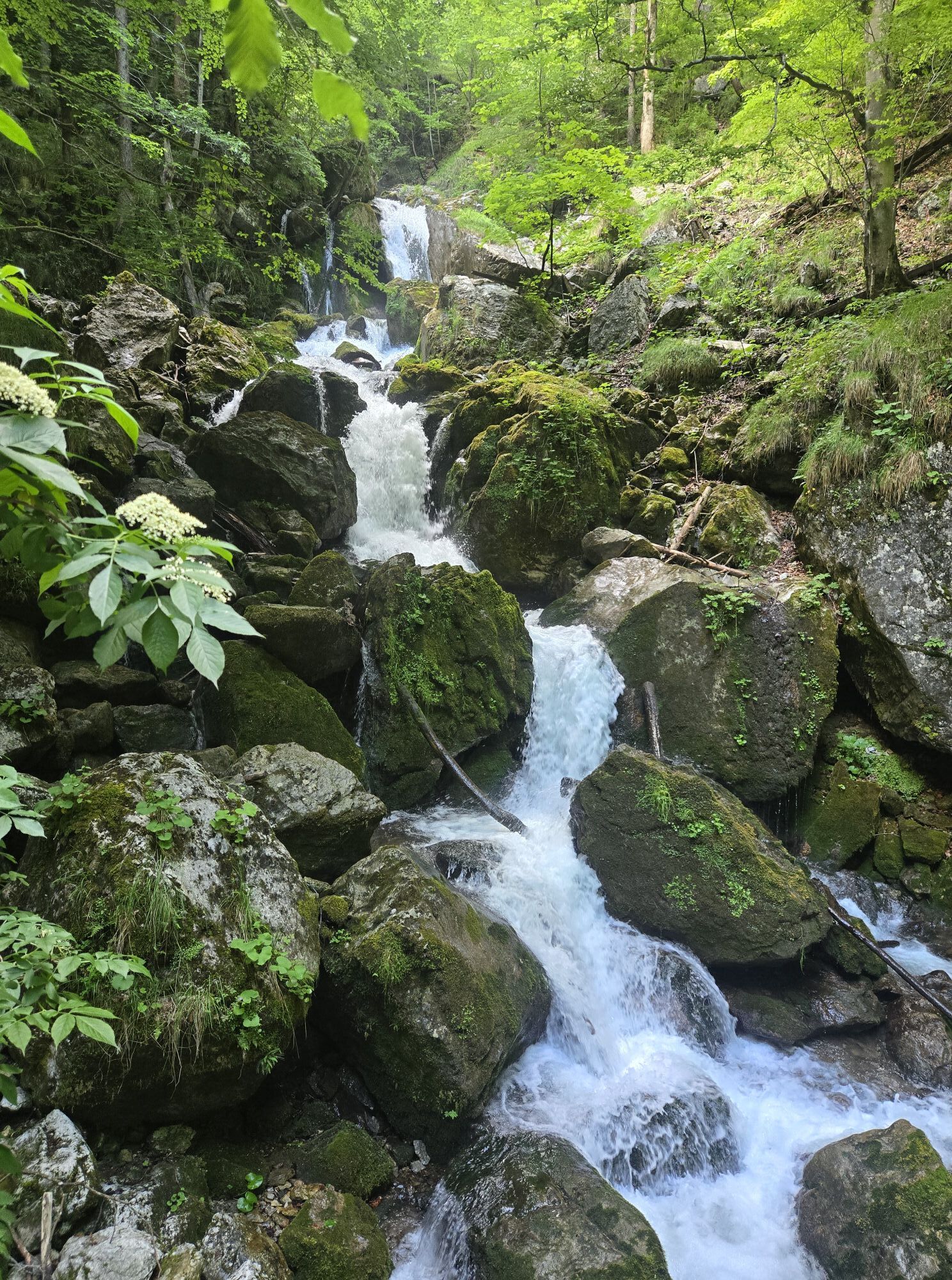
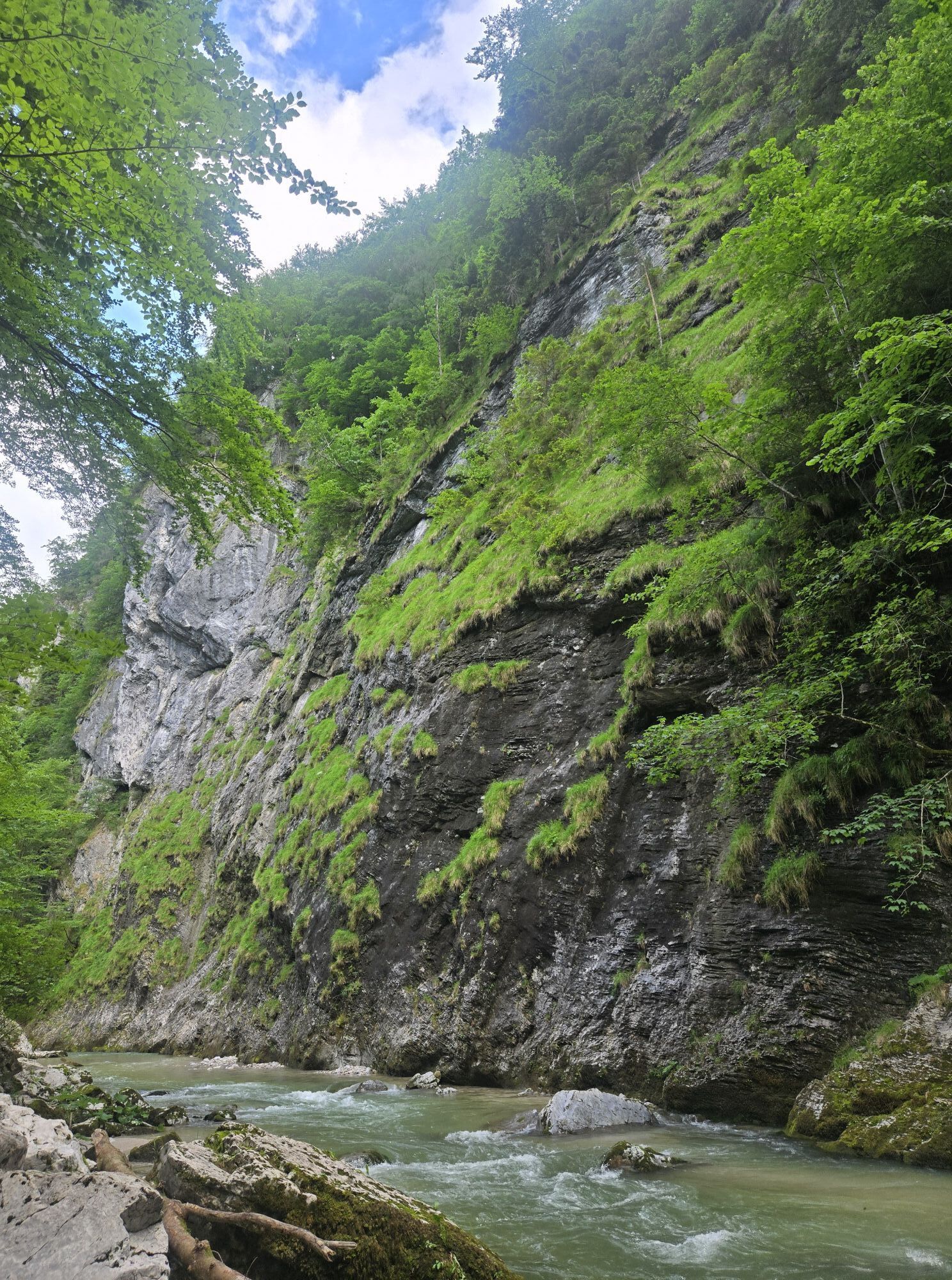
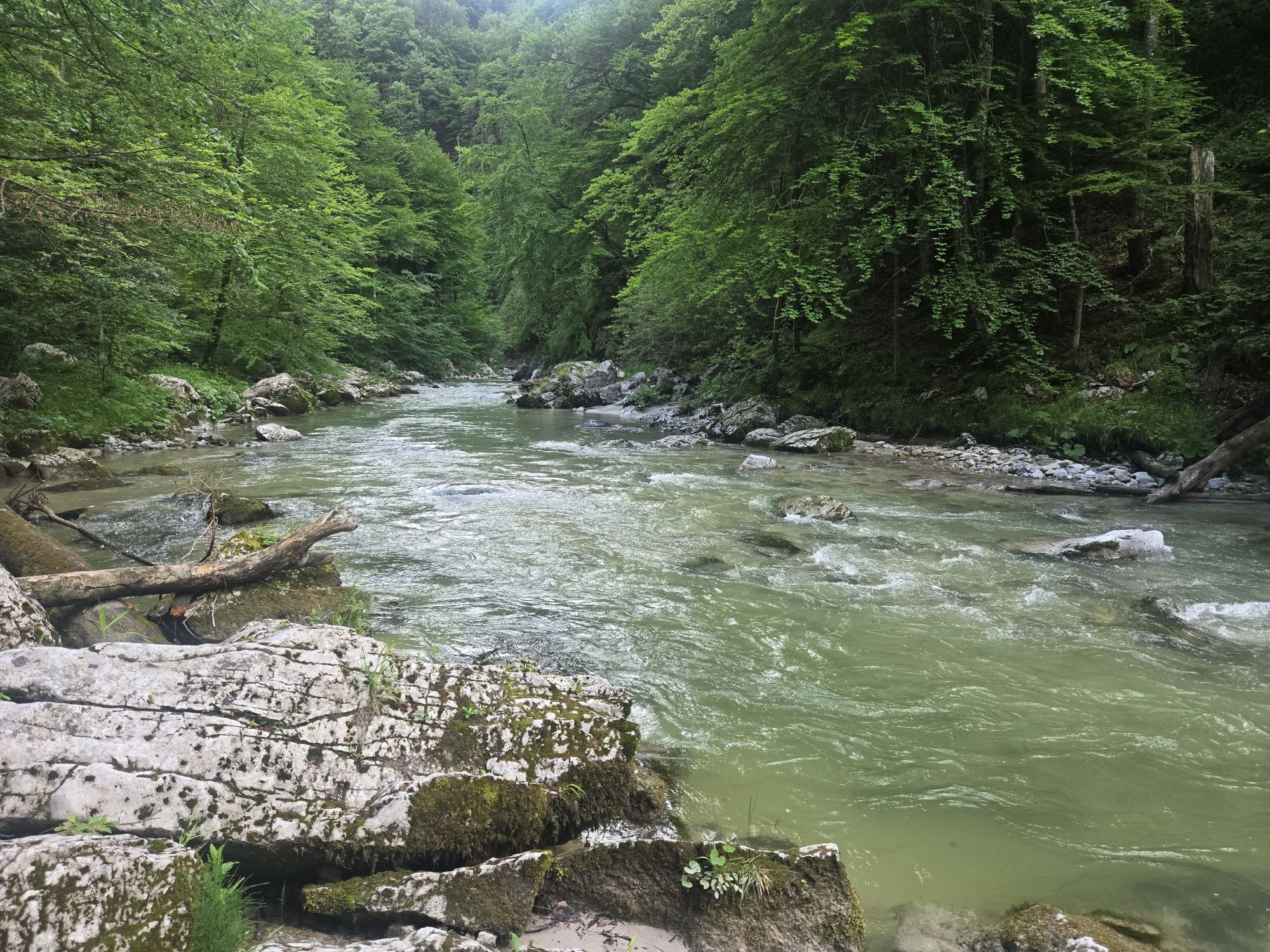
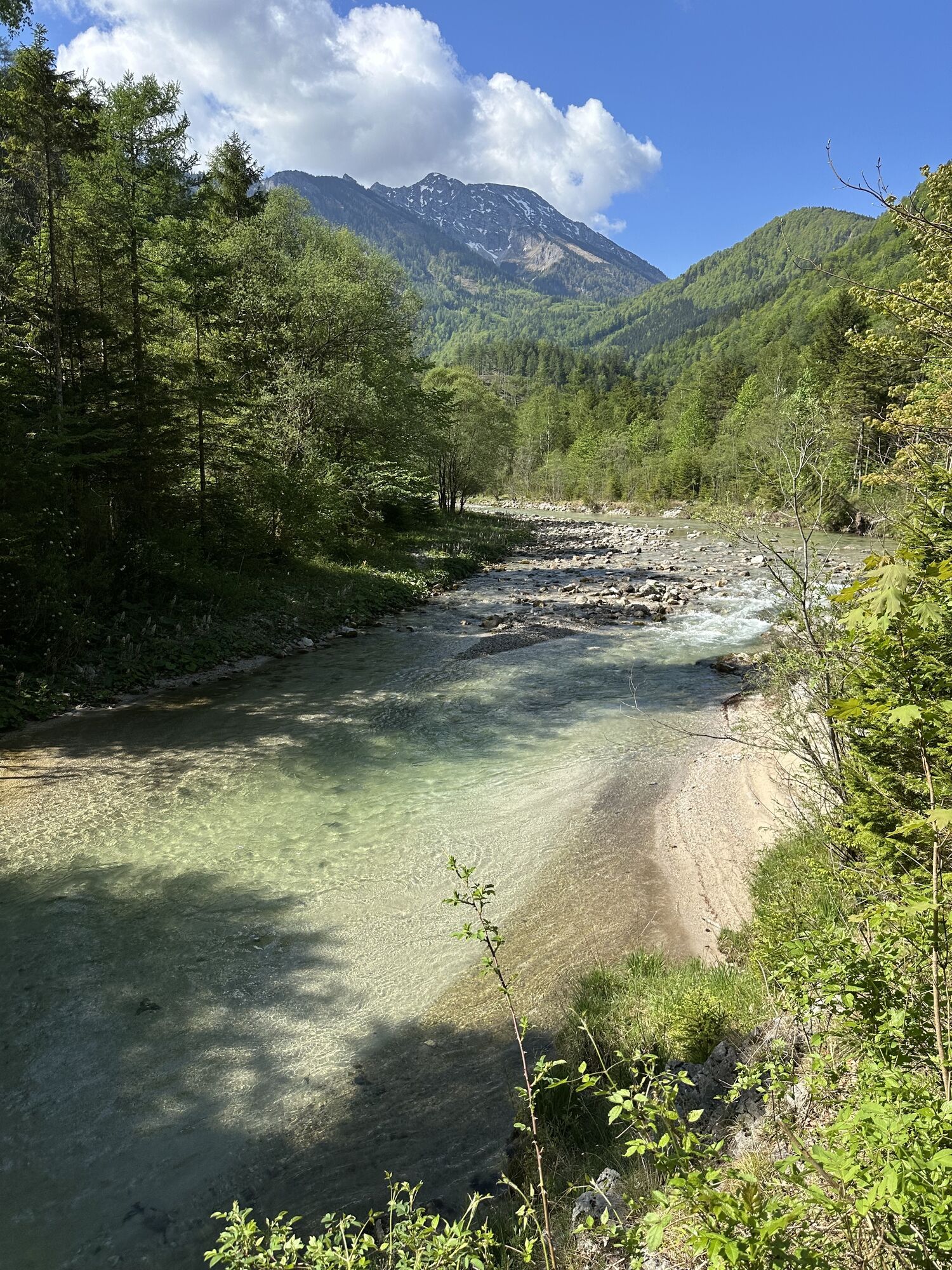
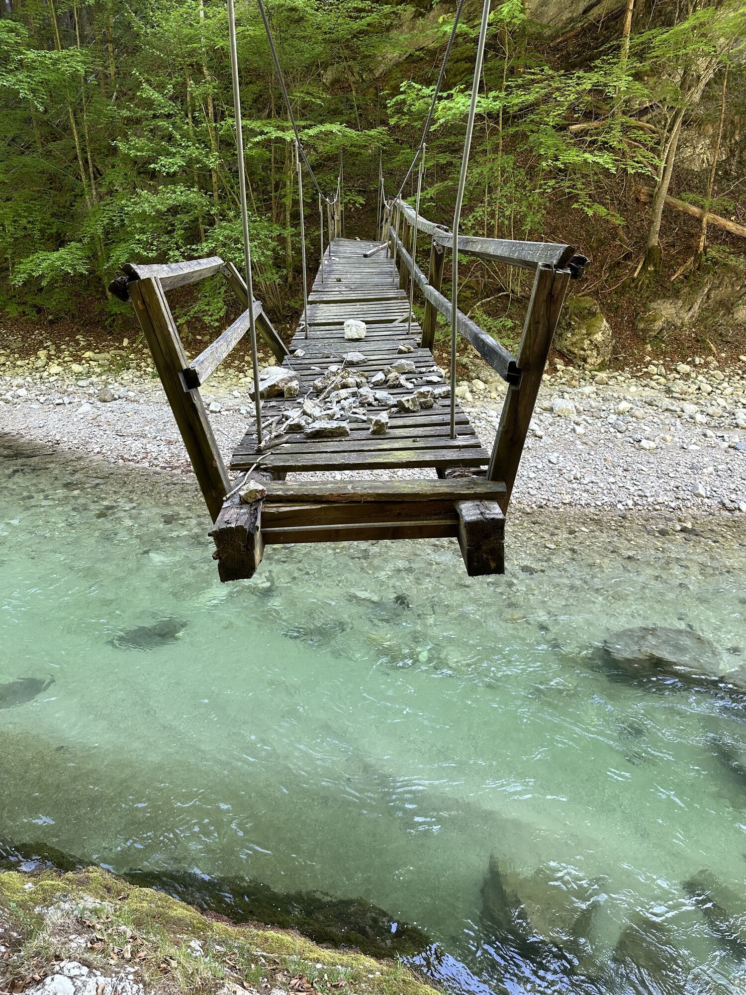
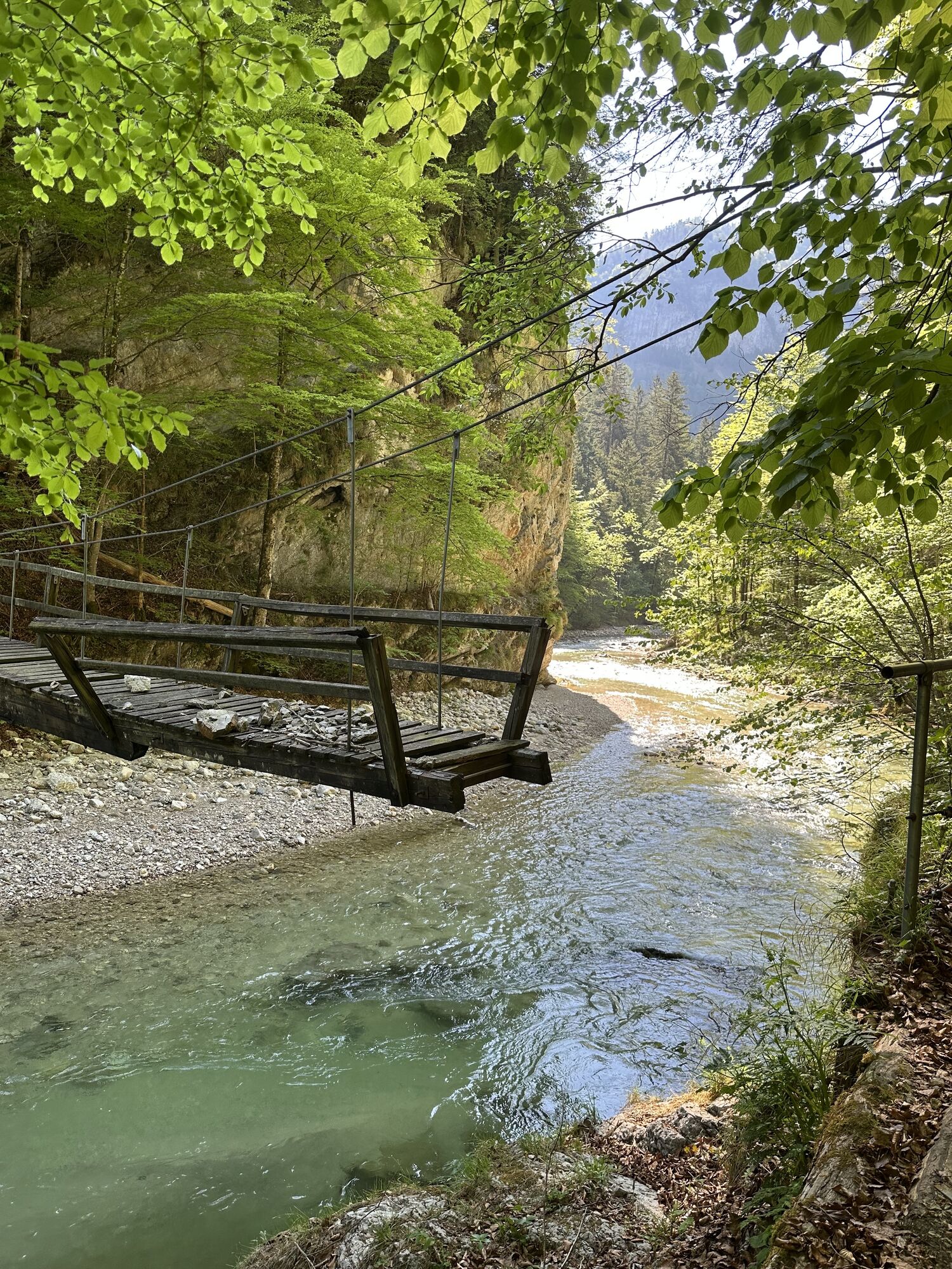
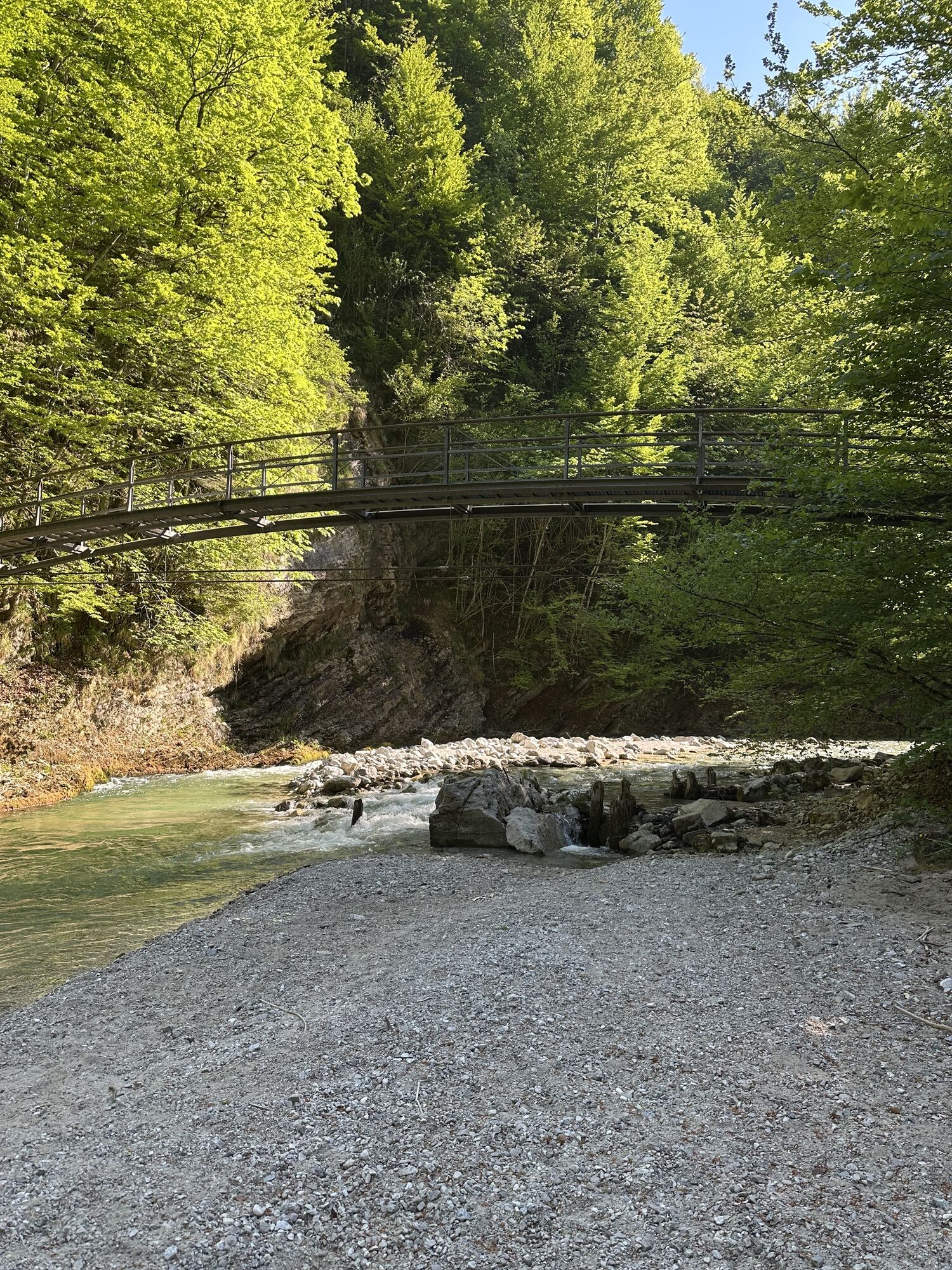
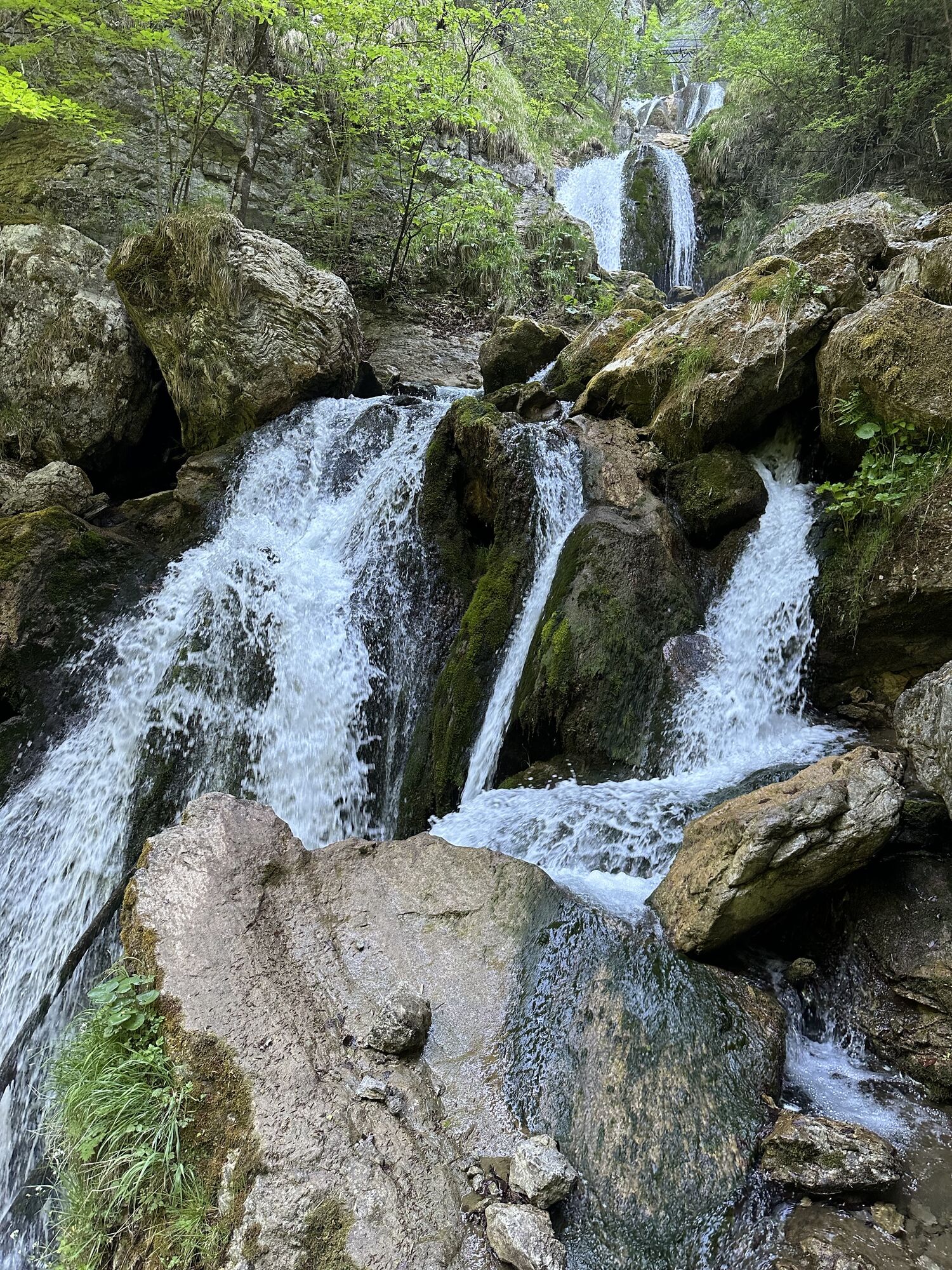
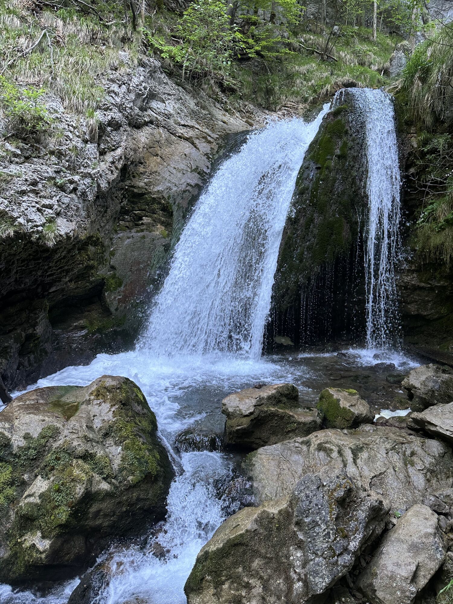
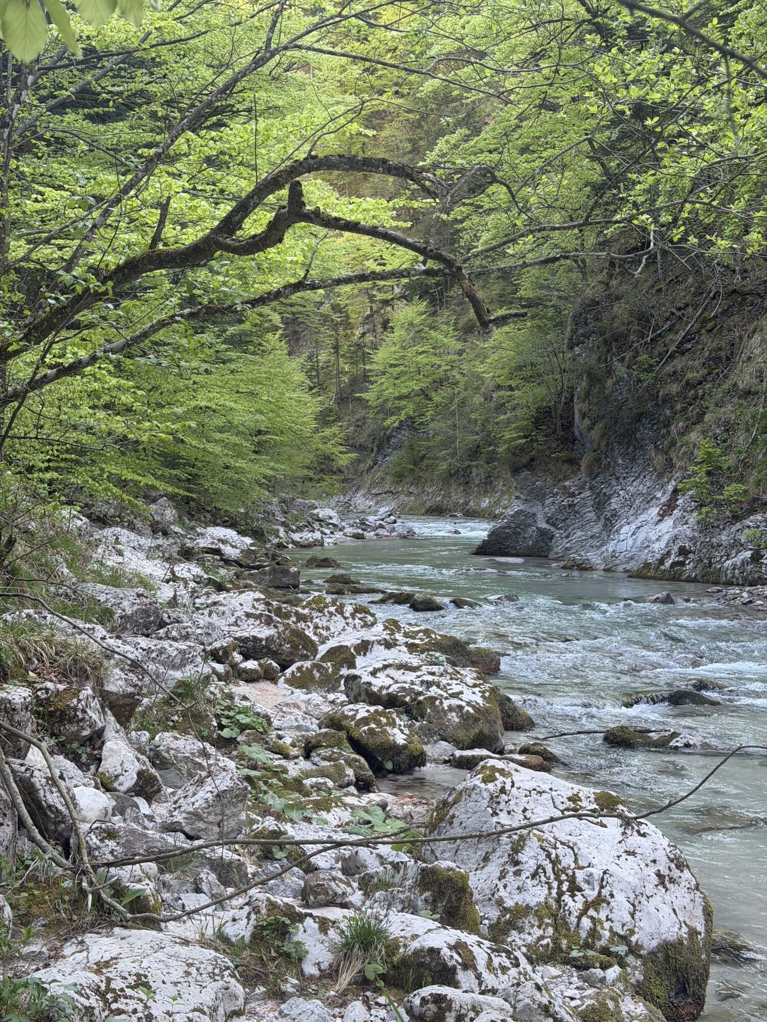
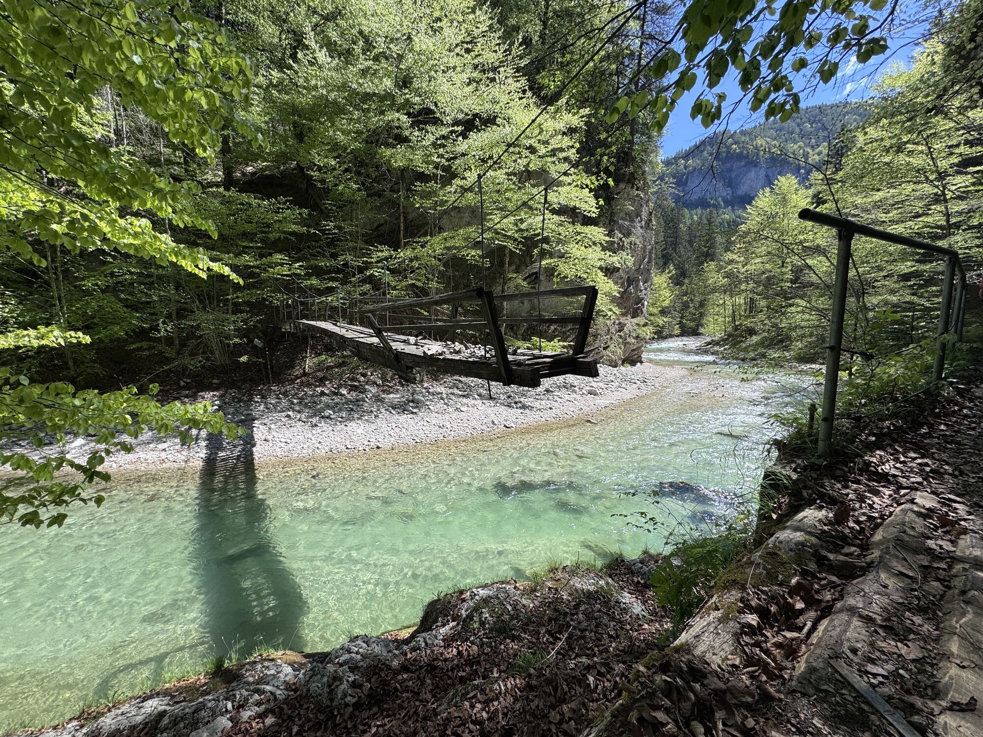
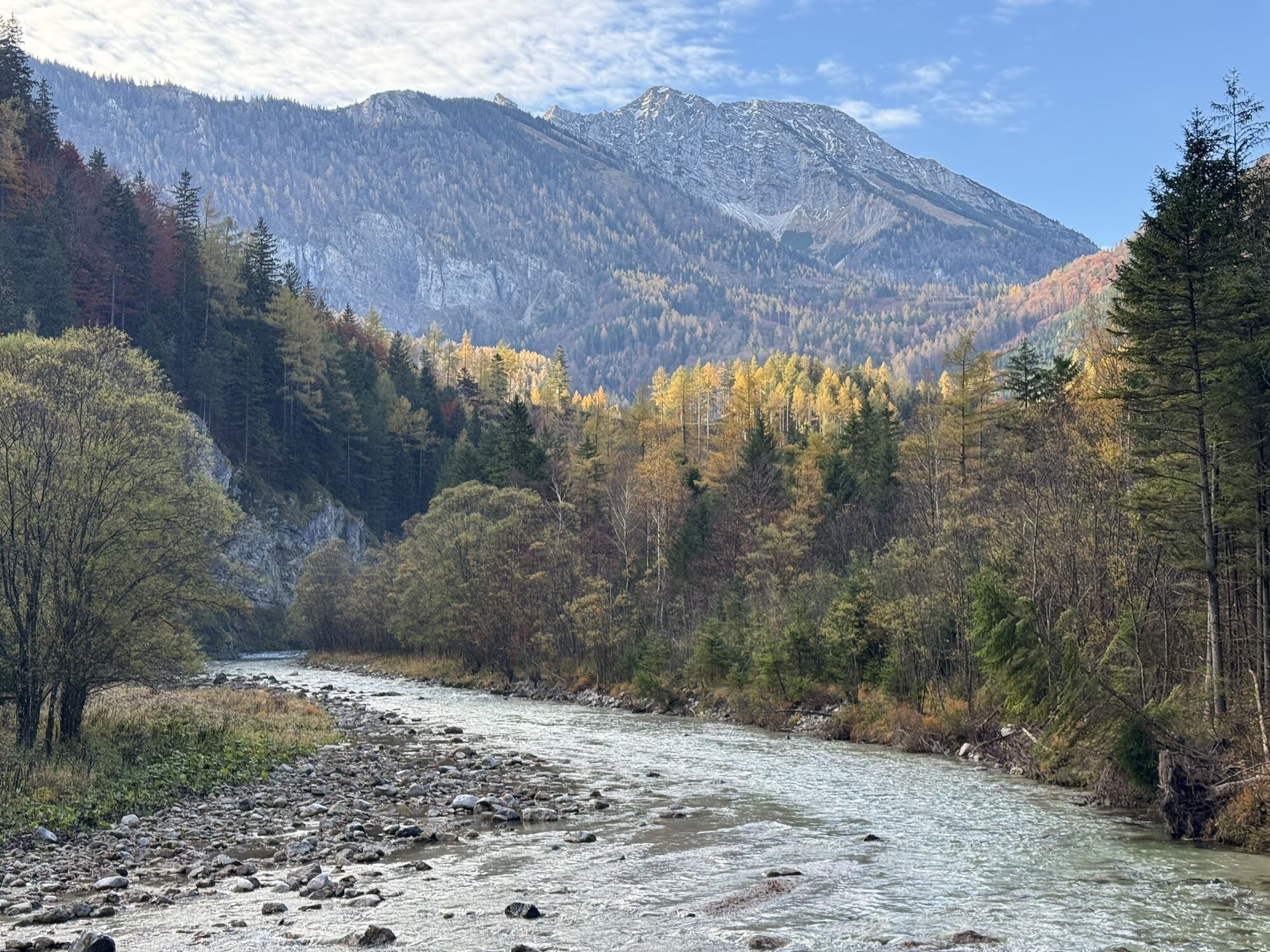
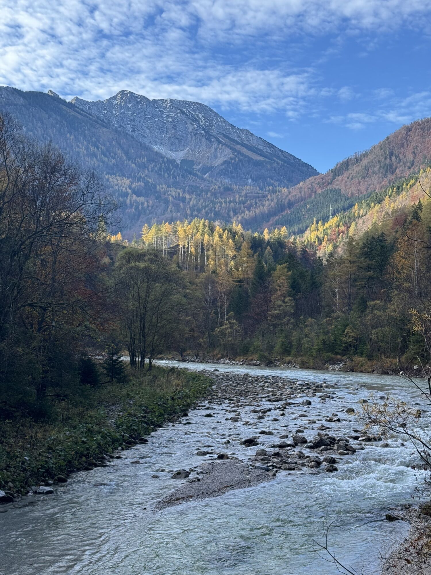
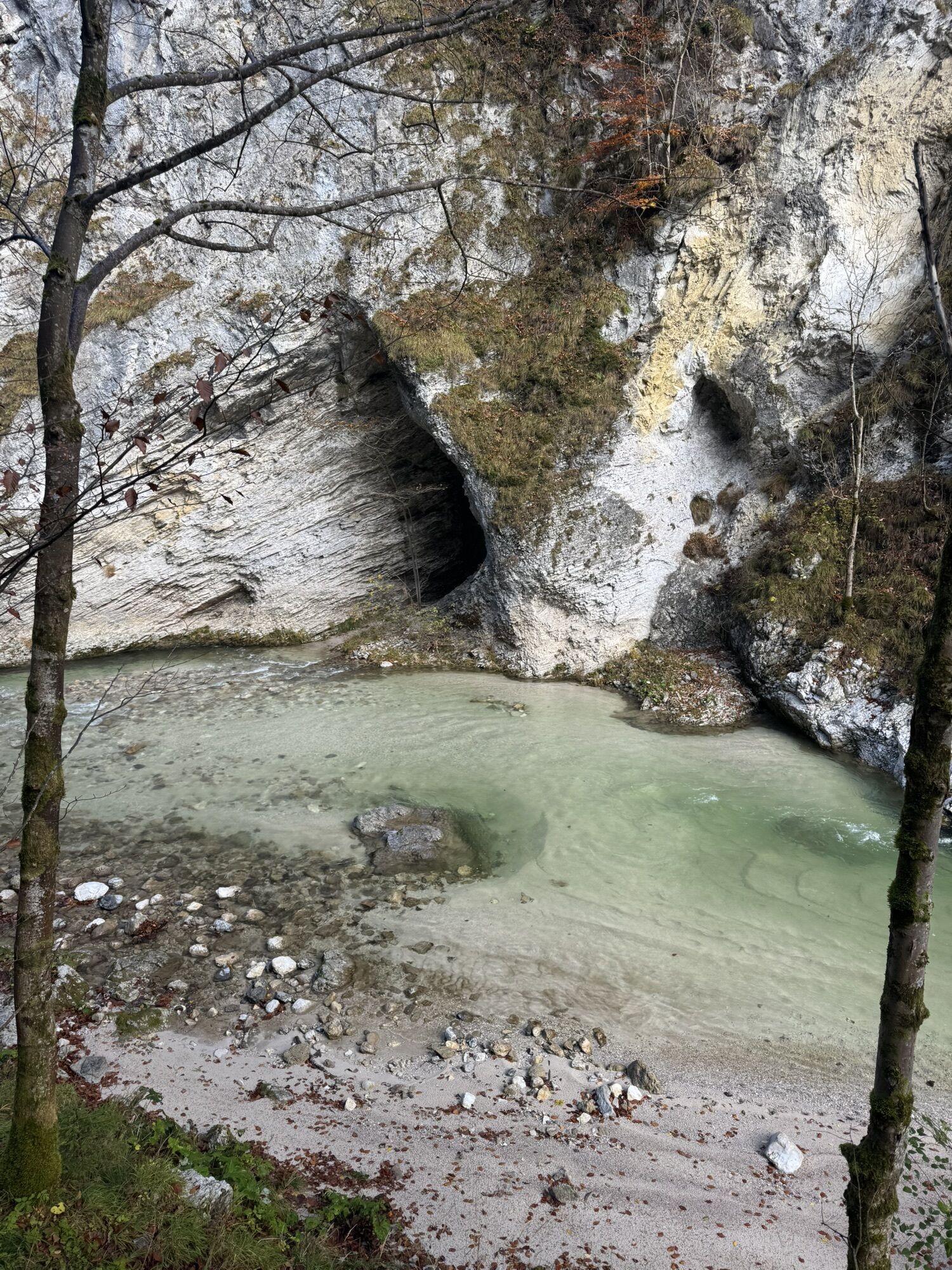
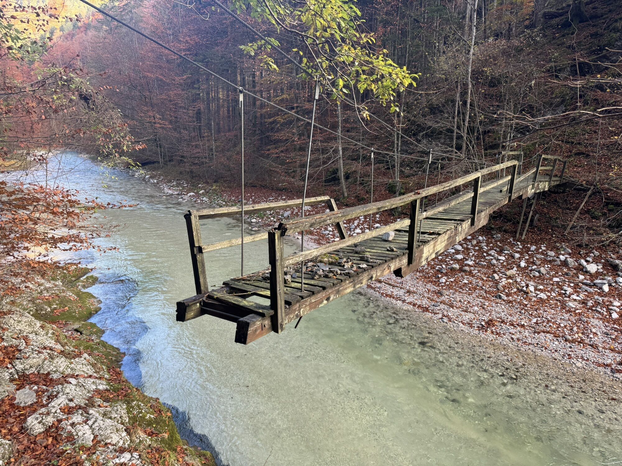
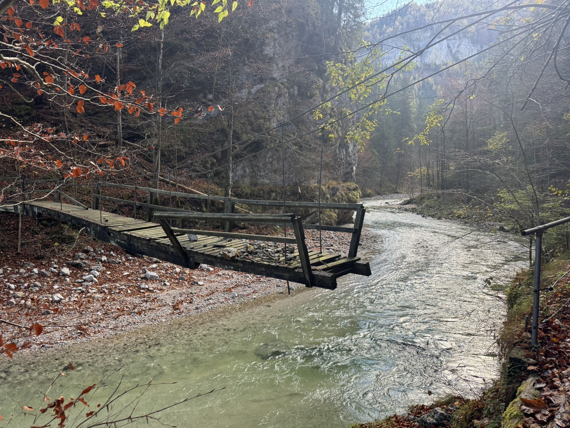

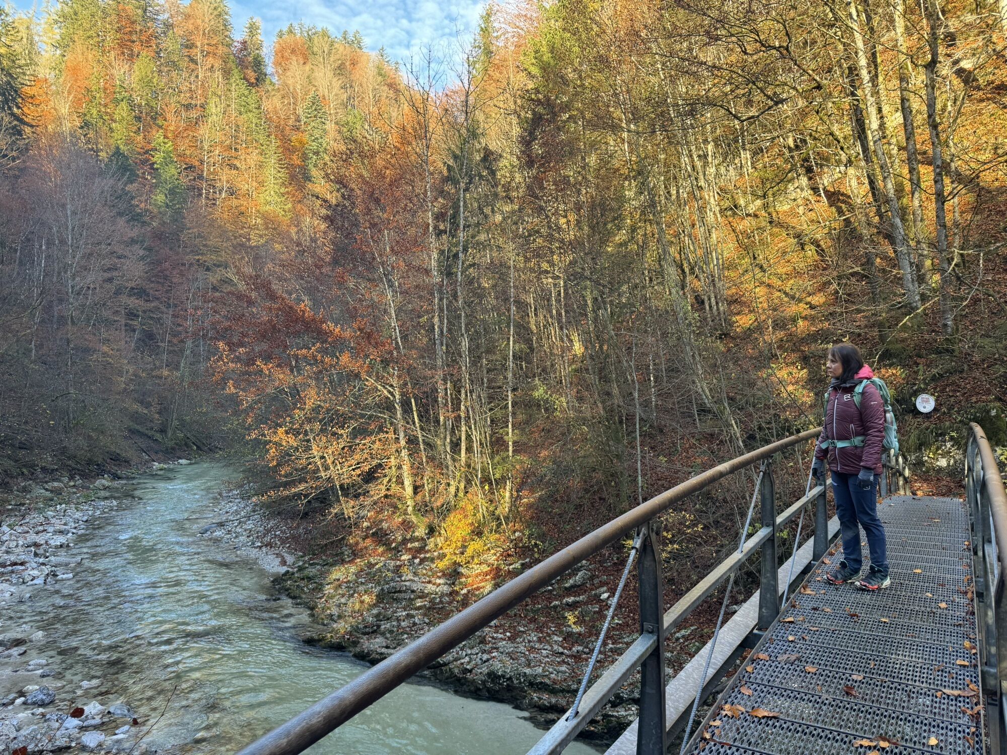
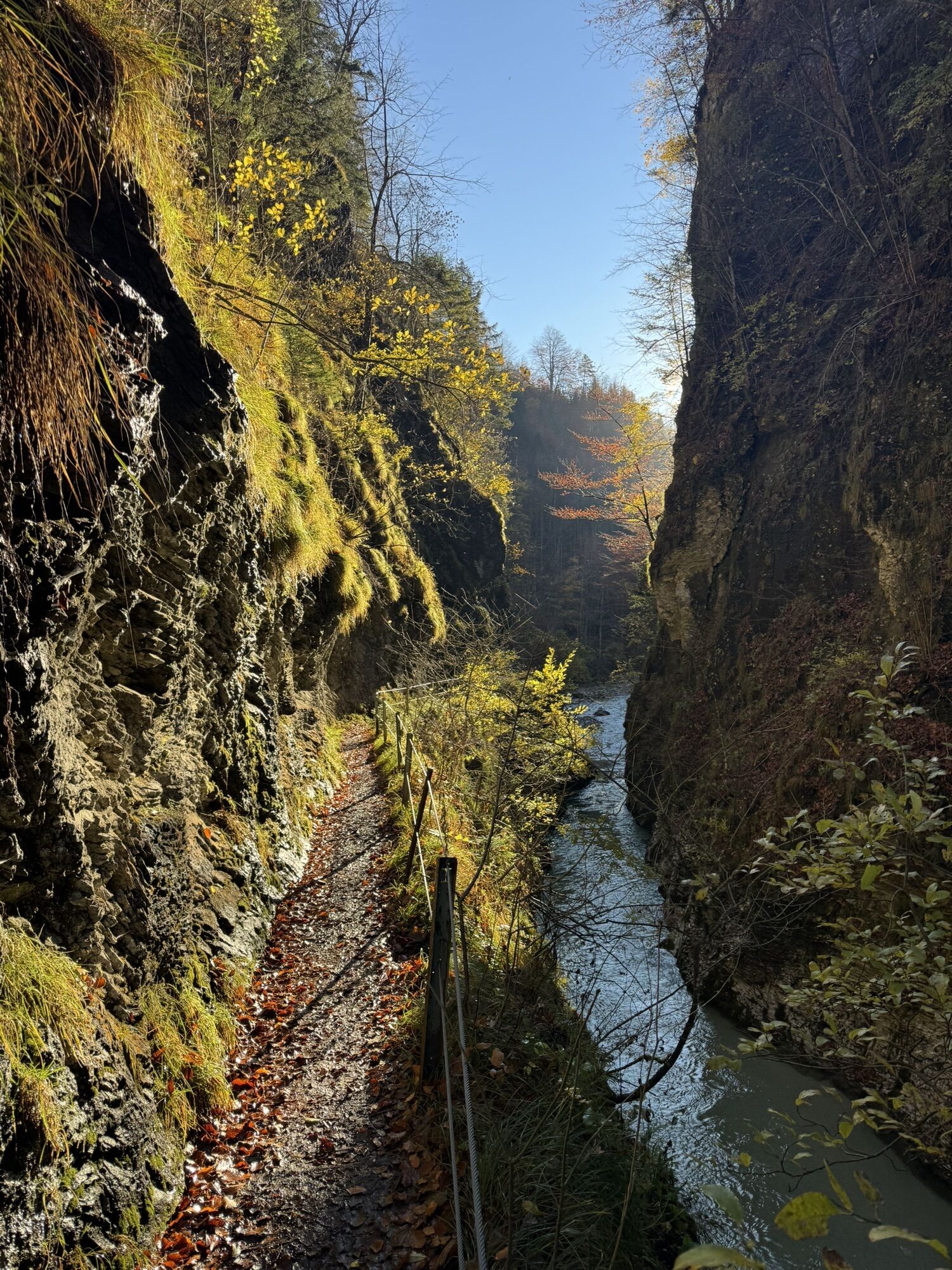
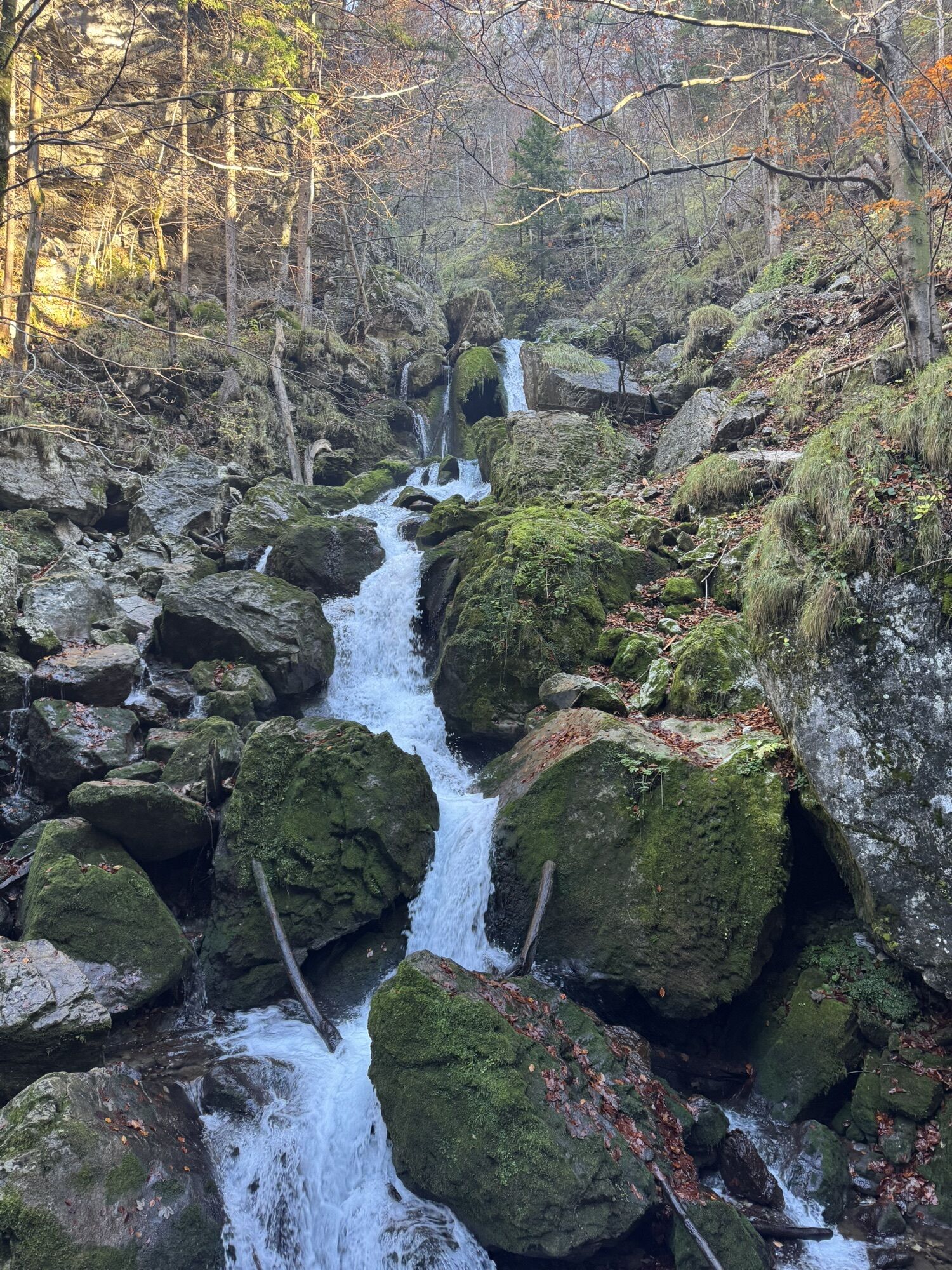
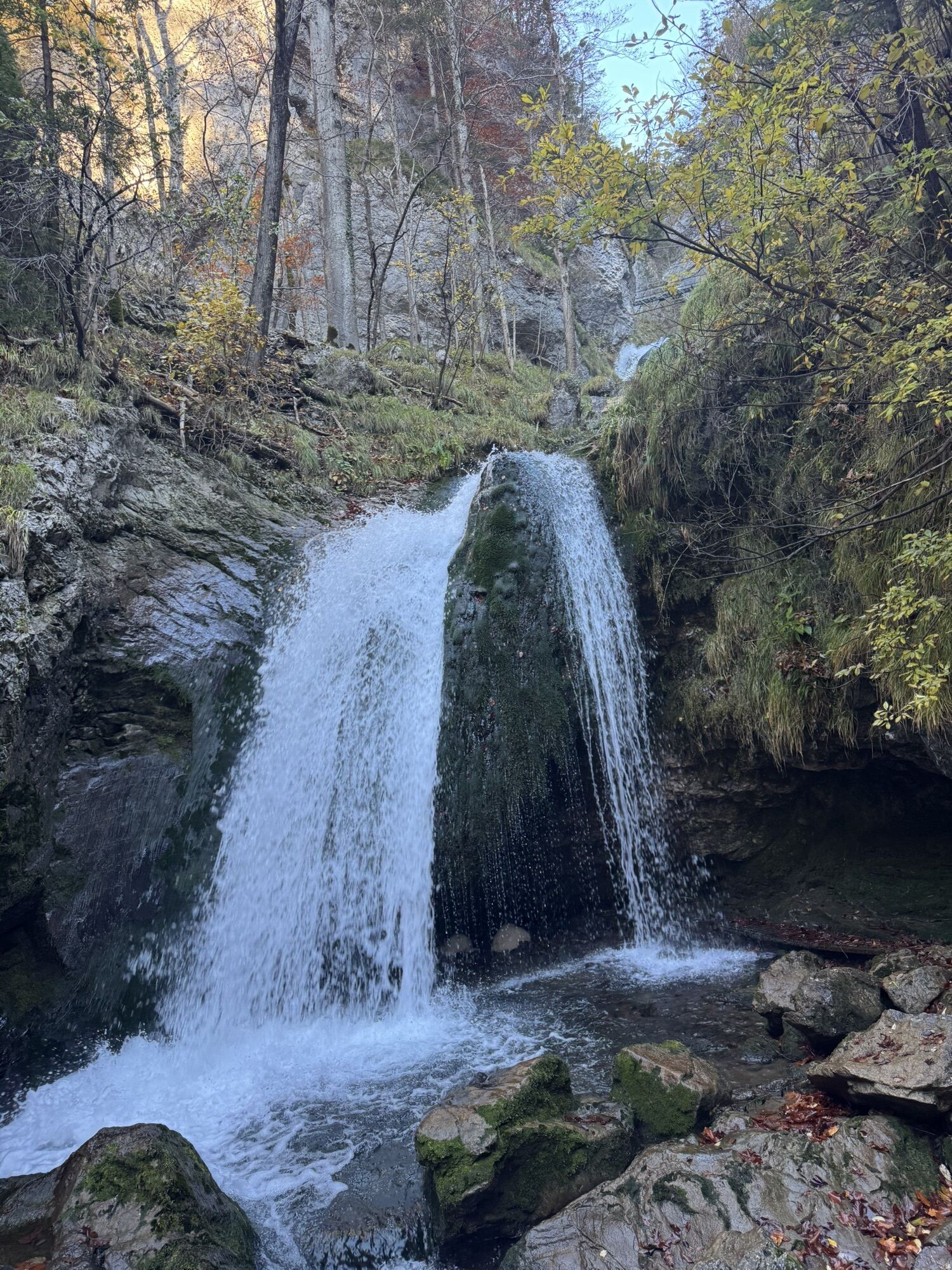
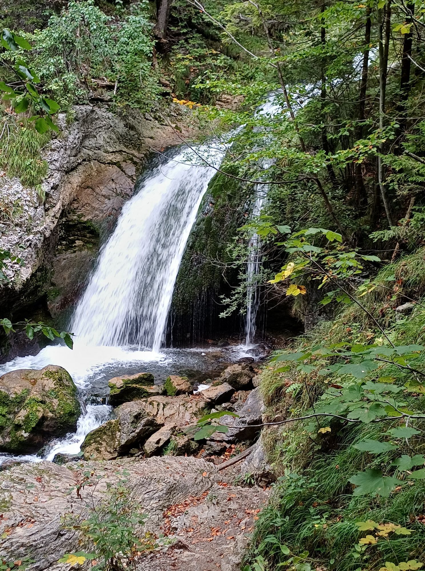
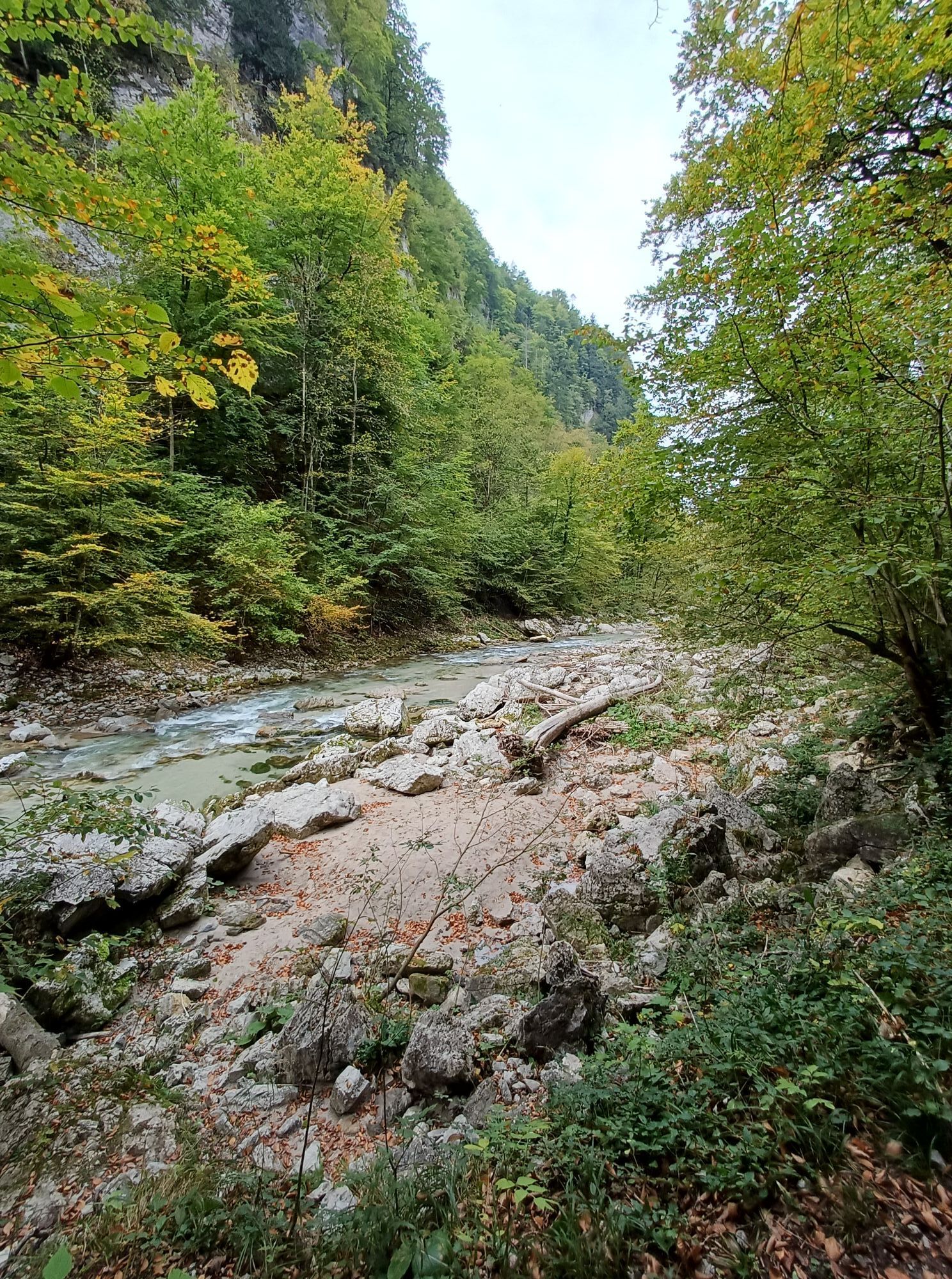
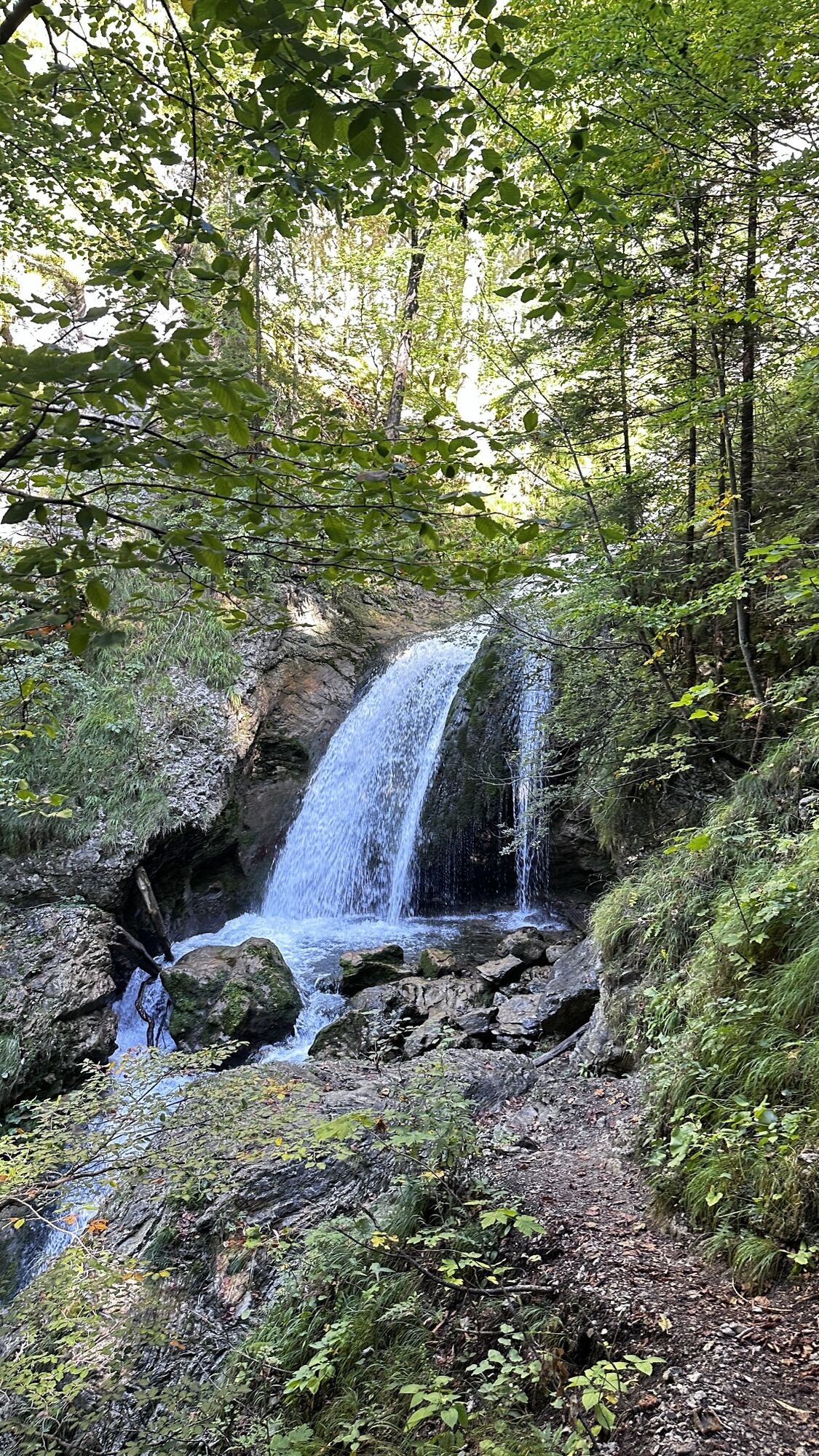
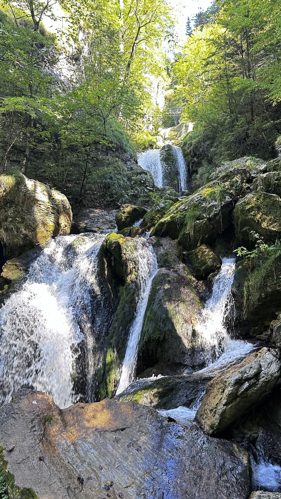
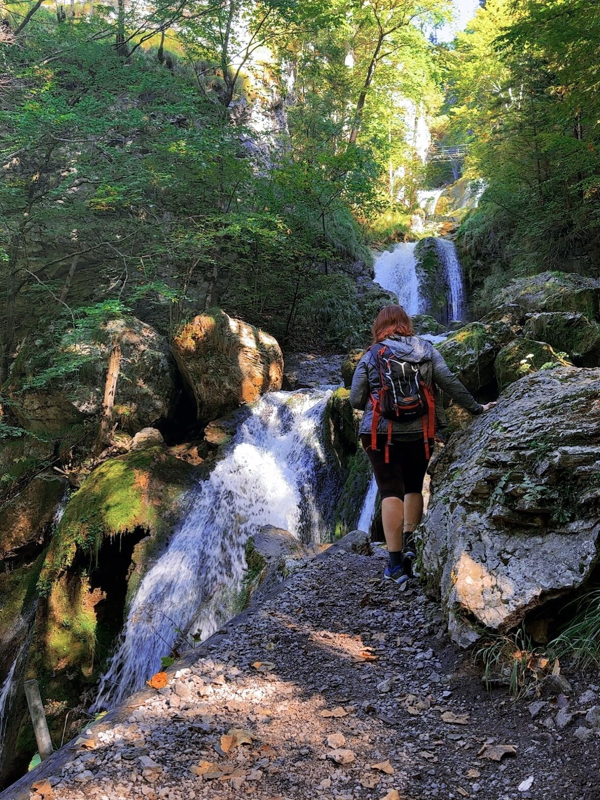
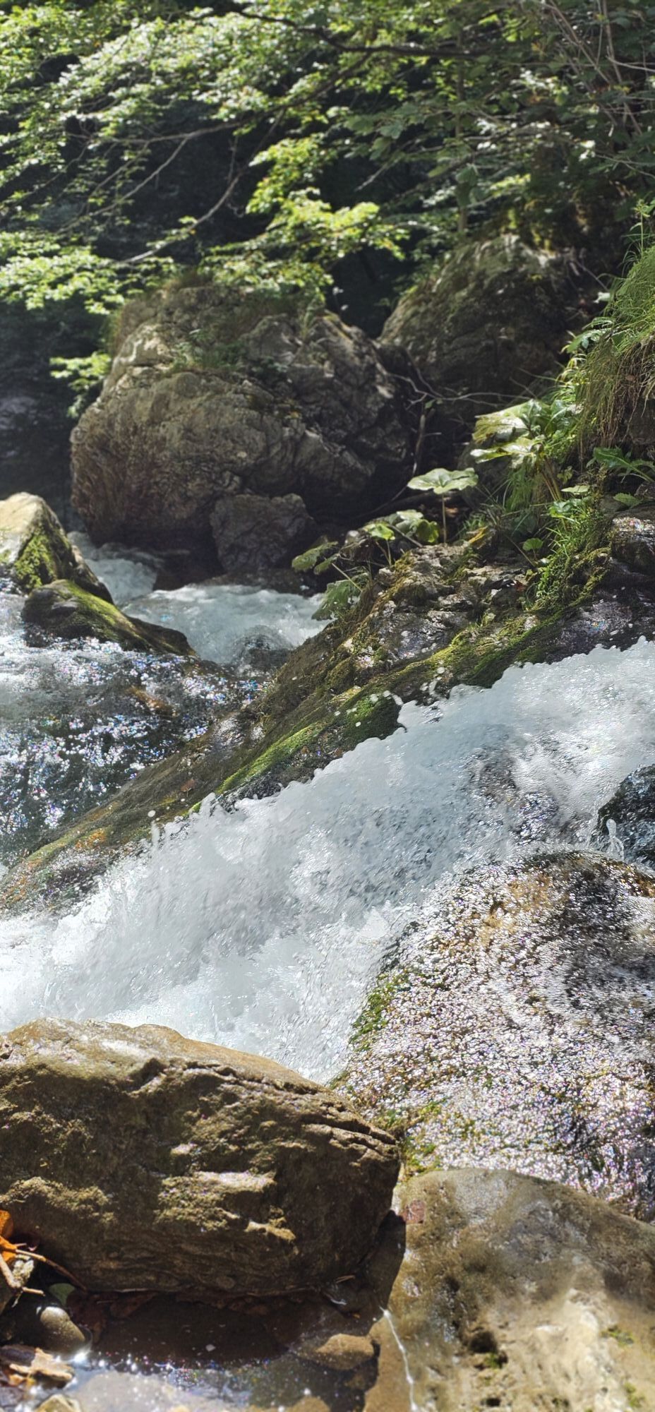
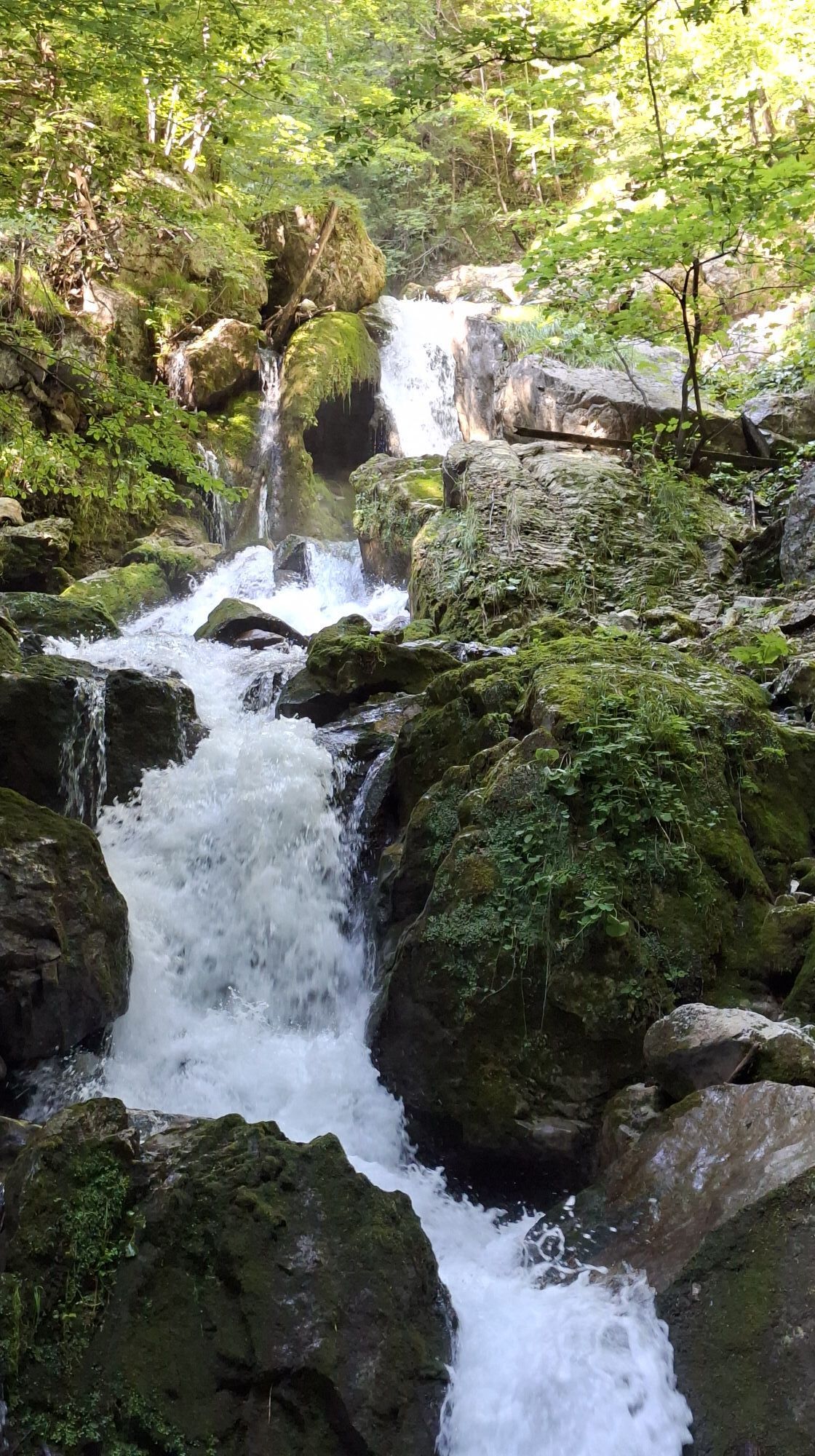
The tour starts at the Eibenboden nature park entrance and after a short stretch of forest road, you enter the seemingly untouched nature of the Vordere Tormäuer. Along the cold, clear Erlauf, the trail...
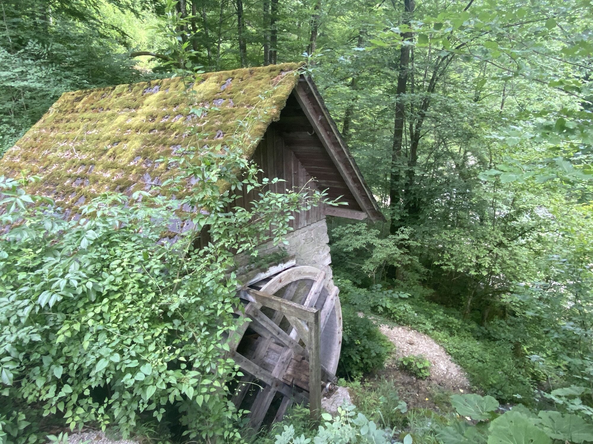
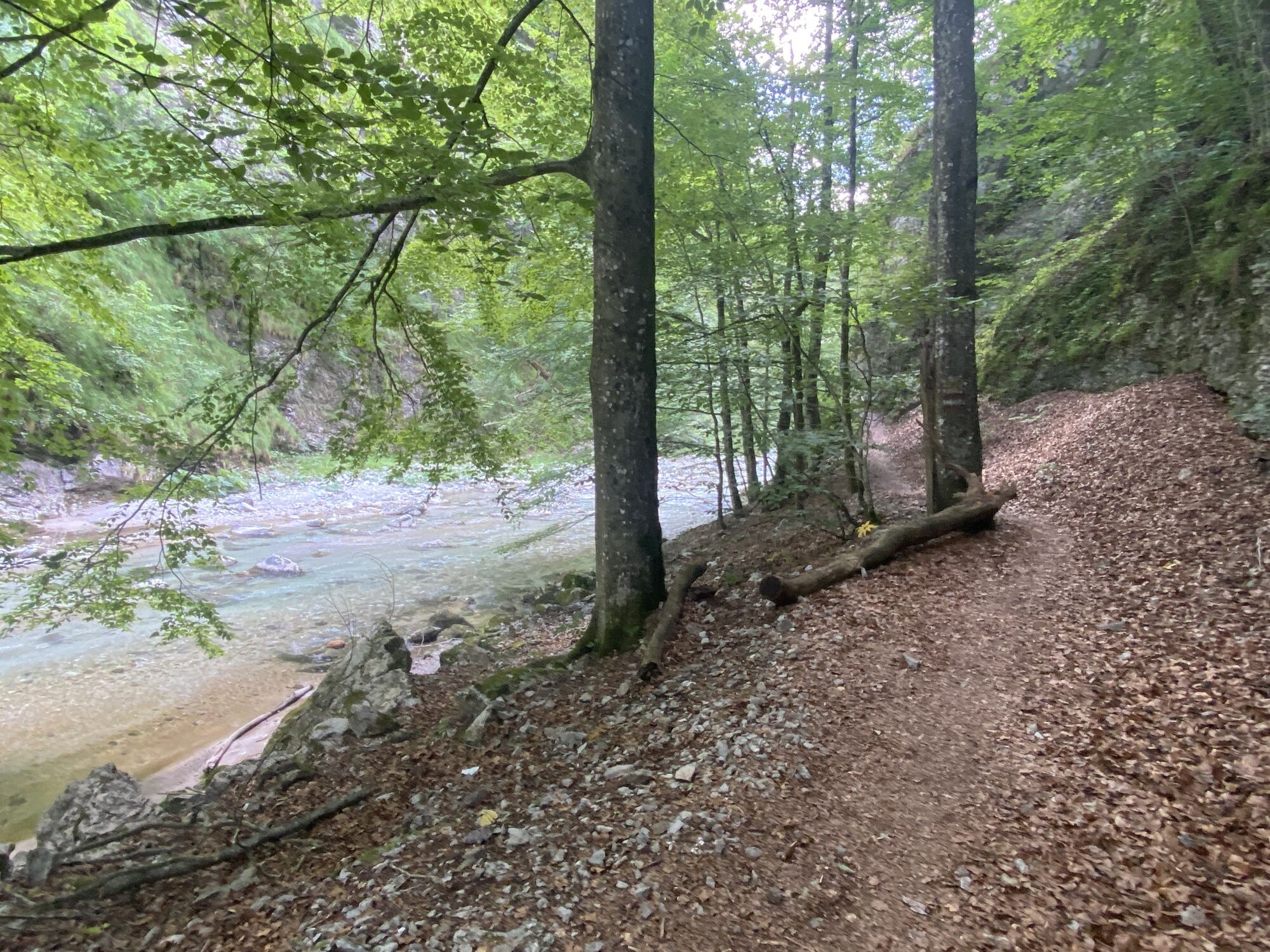
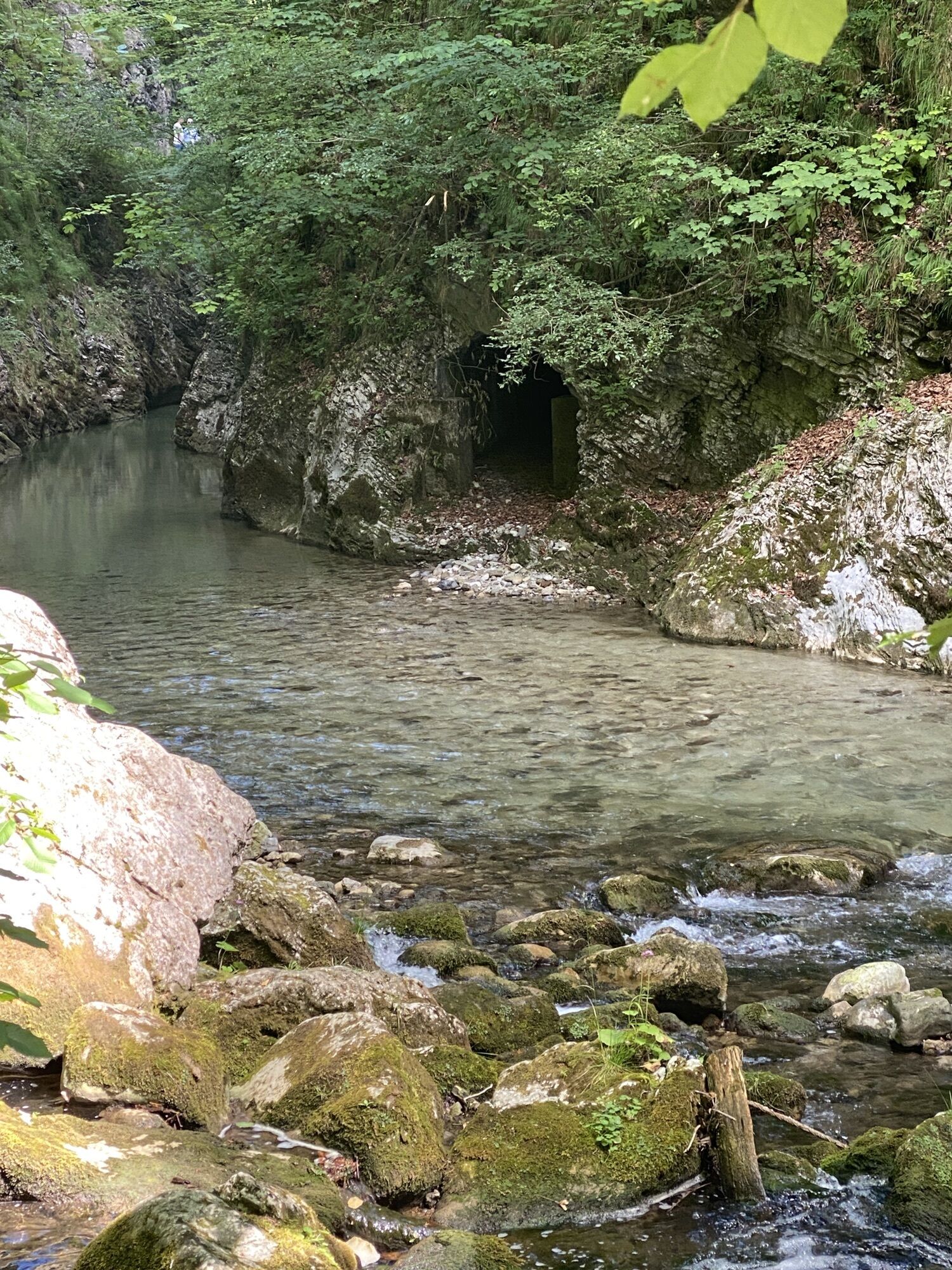
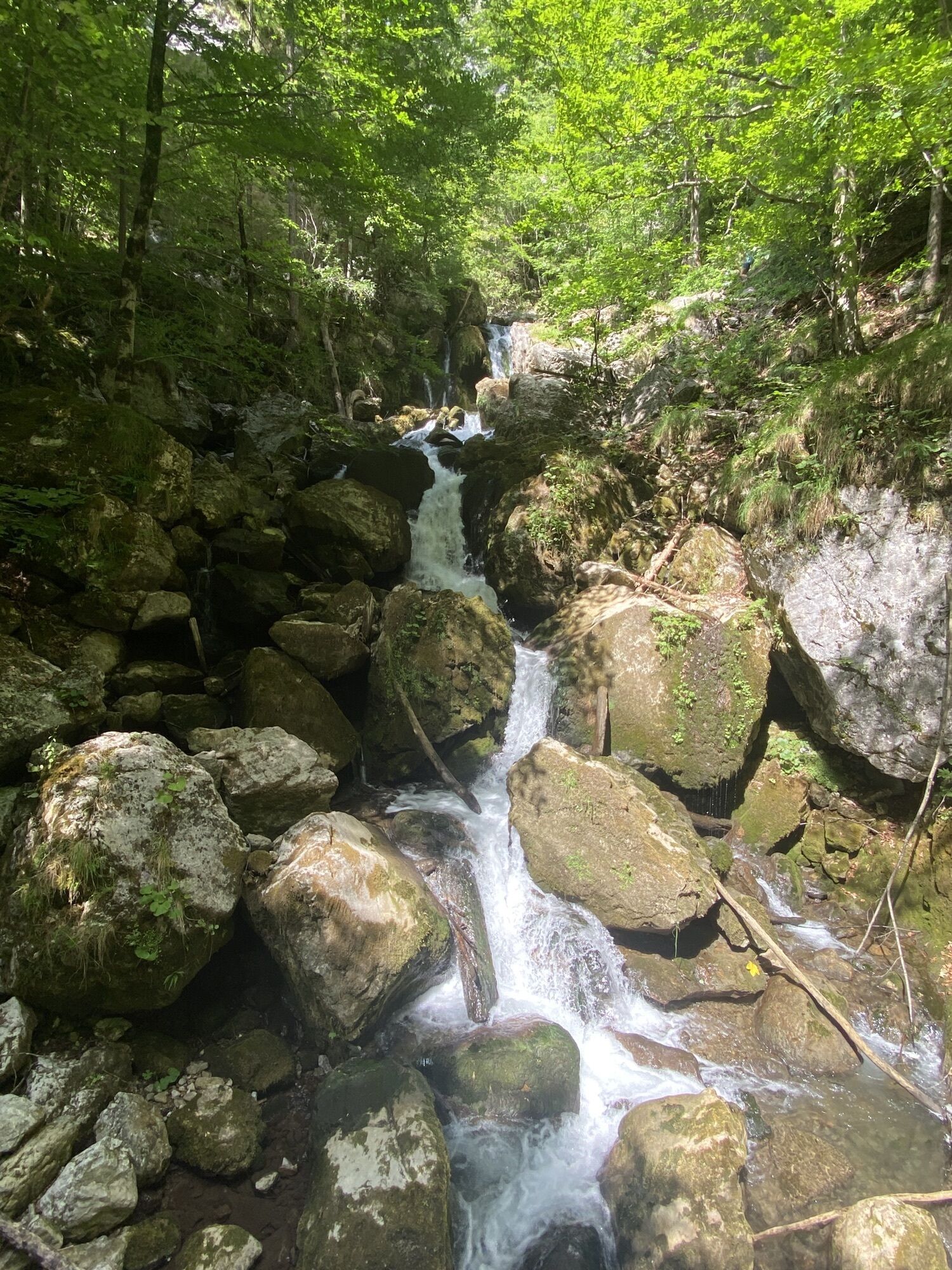
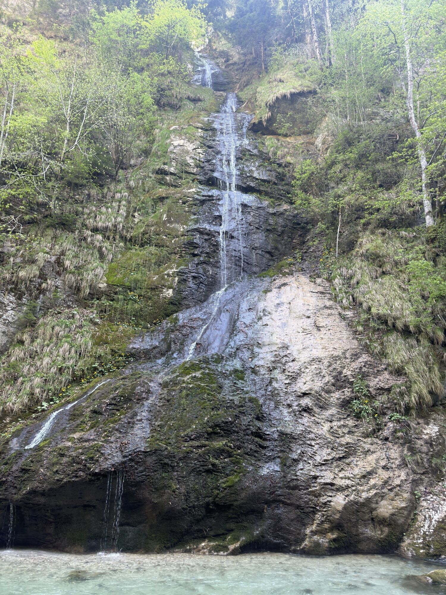
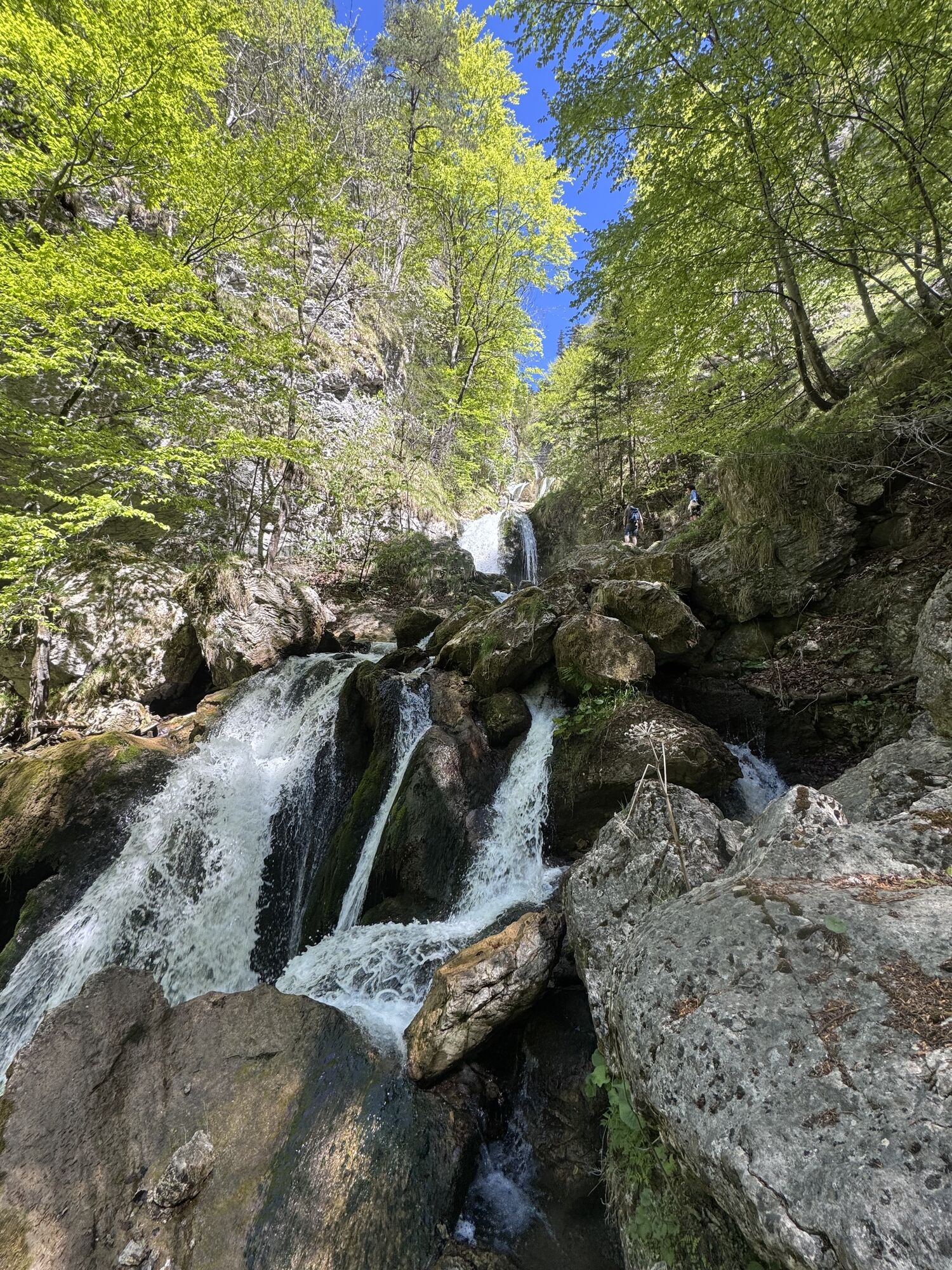
The tour starts at the Eibenboden nature park entrance and after a short stretch of forest road, you enter the seemingly untouched nature of the Vordere Tormäuer. Along the cold, clear Erlauf, the trail leads past Hundsbachfall and Trefflingfall to Toreckklamm - a natural narrowing of the Erlauf and birthplace of the Ötscher-Tormäuer Nature Park as a protest against the planned construction of a power station here. The Kirchensteig trail then leads to Nestelberg, probably the most secluded place in the entire region. Formerly inhabited by families of woodcutters, almost 30 people still live here today, surrounded by pure nature. The Kassteig trail takes you to the former Nestelberg mill and then back to the starting point.

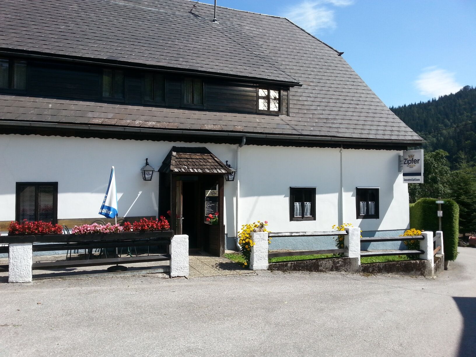
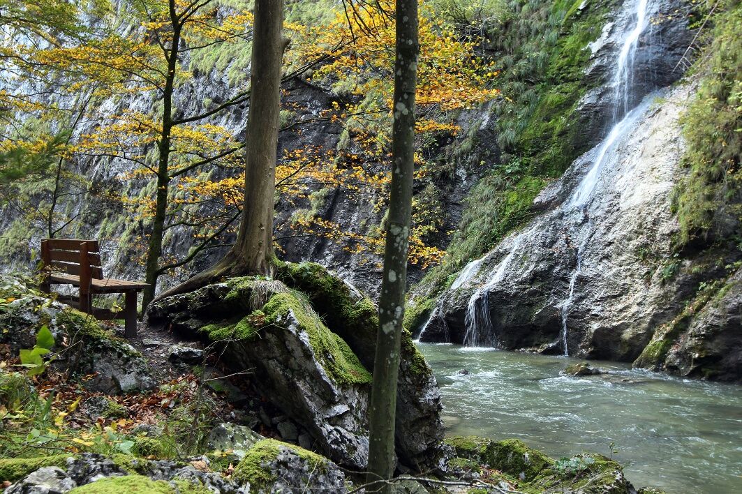

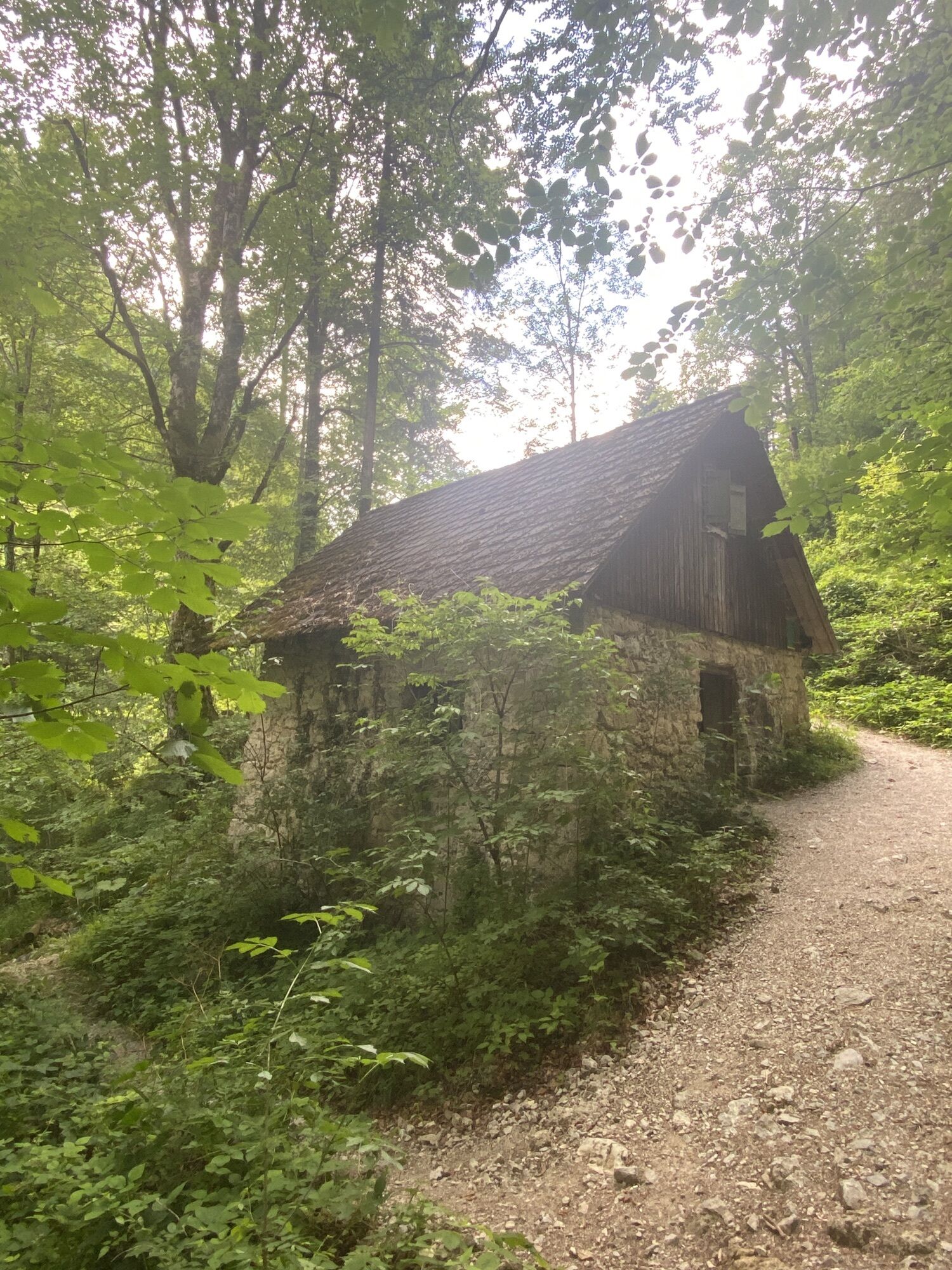
From the nature park entrance Eibenboden (445 m) go up the access road to the Eibenhöfe a bit, at the first hairpin turn turn right onto a forest path to the Eibenmühle. Then a short descent and continue along the Erlauf past the Hundsbachfall to the footbridge under the Trefflingfall (474 m, ¾ hr).
Then cross the following Toreckklamm, only a few meters wide, on a path carved into the rock. Continue 20 minutes upstream to the fork Kirchensteig/Nestelberg – from here via Nestelberg and the Brennwiese onto the "Kassteig". Descent to the former Nestelbergmühle and return to Eibenboden (approx. 2 hrs)
Hiking clothing, sturdy footwear, drink
Please inform yourself in advance about possible path and road closures in the Ötscher-Tormäuer Nature Park. You can find this at https://www.naturpark-oetscher.at/aktuelles-top-informiert-im-naturpark
The nature park entrance Eibenboden is accessible via Kienberg (turnoff at the inn "Erlauftalerhof") or via Gaming (turnoff at the Mariensäule). From Lackenhof via Ötscherwiese, Raneck, Nestelbergsäge, and the Nestelberggraben.
A paid parking lot is located directly at the nature park entrance Eibenboden - day ticket for cars €5
The income from parking management benefits the maintenance of the nature park. (at the parking meter, only coin payment possible)
As an option for a further march, a route from the Toreckklamm to the Gerstl house at Strudeleck and from there to Nestelberg (an additional 1 hour) is recommended.
Along the Erlauf there are occasional bays to cool tired feet.
A detour to the Trefflingfall, the highest waterfall in the country, is also worth it!
 Uzyskaj wgląd
Zawsze na żywo z ponad 9 500 kamer internetowych. bergfex Jako użytkownik Pro, możesz teraz zobaczyć odpowiednie kamery internetowe dla wielu wycieczek w aplikacji wycieczki od. Pozwala to na bezpośredni podgląd aktualnych warunków.
Uzyskaj wgląd
Zawsze na żywo z ponad 9 500 kamer internetowych. bergfex Jako użytkownik Pro, możesz teraz zobaczyć odpowiednie kamery internetowe dla wielu wycieczek w aplikacji wycieczki od. Pozwala to na bezpośredni podgląd aktualnych warunków.


Popularne wycieczki w okolicy
-
4,5
Das 3 Seen-Erlebnis (Lunzer See - Mittersee - Obersee)
średniWędrówka 9,33 km -
4,3
Rund um den smaragdgrünen Lunzer See
światłoWędrówka 4,80 km -
4,7
Gemeindealpe
średniWędrówka 13,5 km -
5,0
Von Lackenhof auf den Ötscher
światłoWędrówka 5,29 km -
4,9
Panoramic summit Maiszinken - alpine experience included
średniWędrówka 12,6 km -
4,9
Lassingfall - Ötscherhias - Erlaufklause
średniWędrówka 8,20 km -
4,9
Lackenhof ÖTSCHER Rauer Kamm 19.10.2014
ciężkiWędrówka 14,1 km -
4,8
Naturpark Ötscher-Tormäuer Wienerbruck
światłoWędrówka 6,06 km -
4,7
Trefflingfall über Hochbärneckhütte
średniWędrówka 12,2 km -
4,7
Erlaufsee-Rundweg
światłoWędrówka 5,37 km

Wędrówki i tropienie


Nie przegap ofert i inspiracji na następne wakacje
Twój adres e-mail została dodana do listy mailingowej.





