


Heart of the Mostviertel Circular Hiking Trail - Overall Route
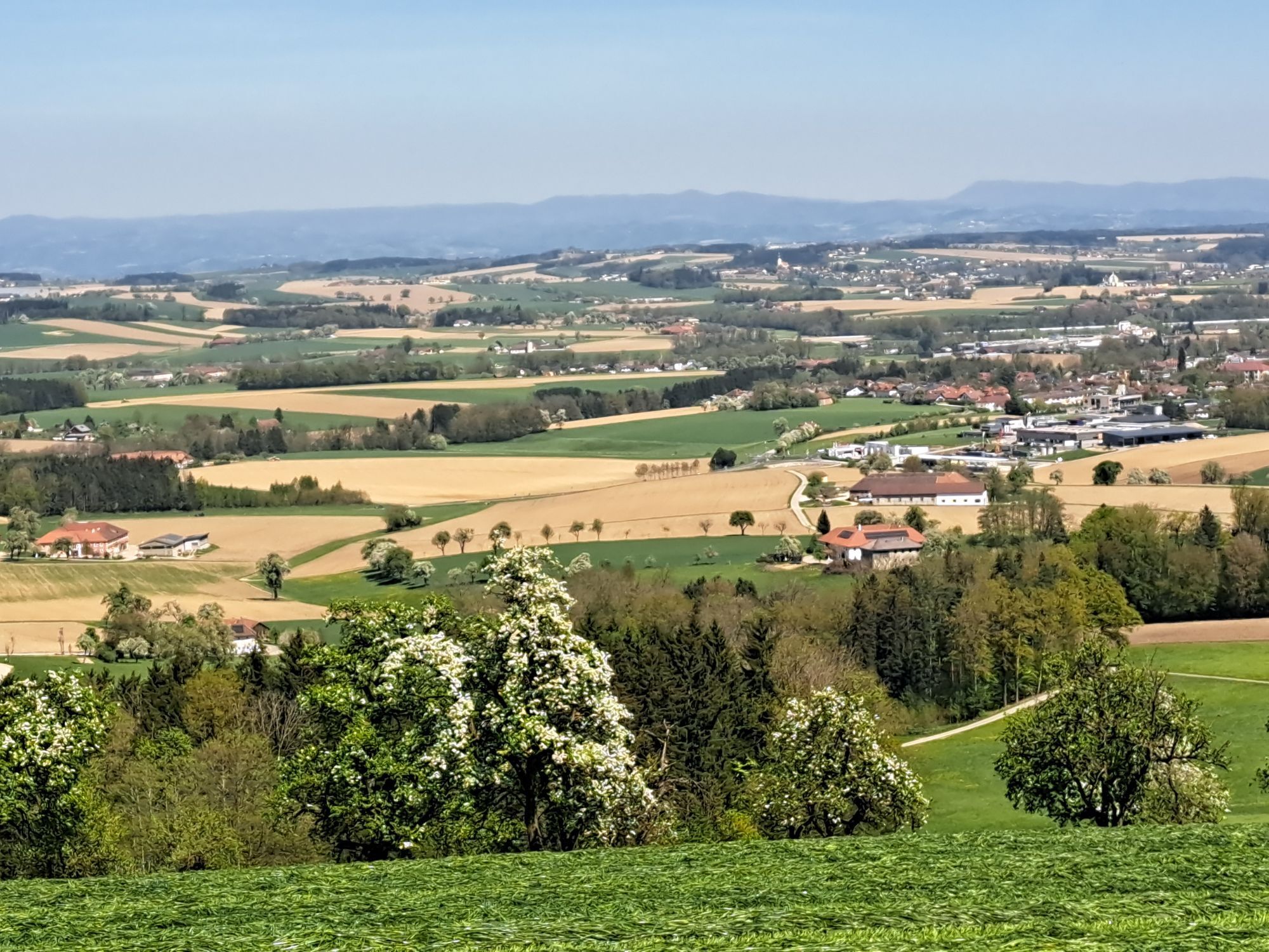
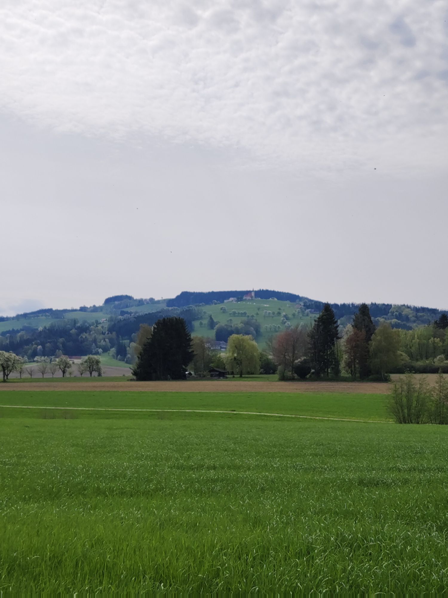
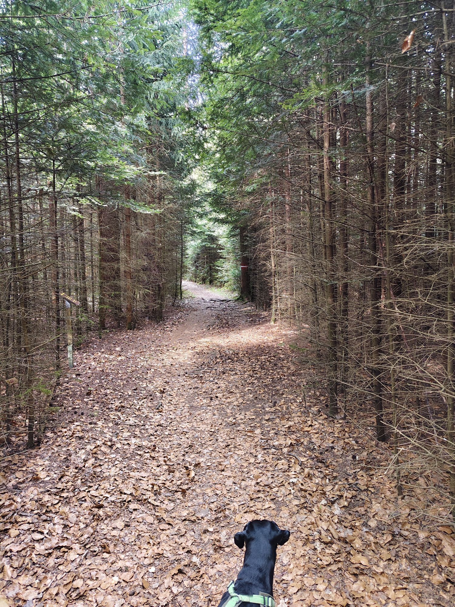
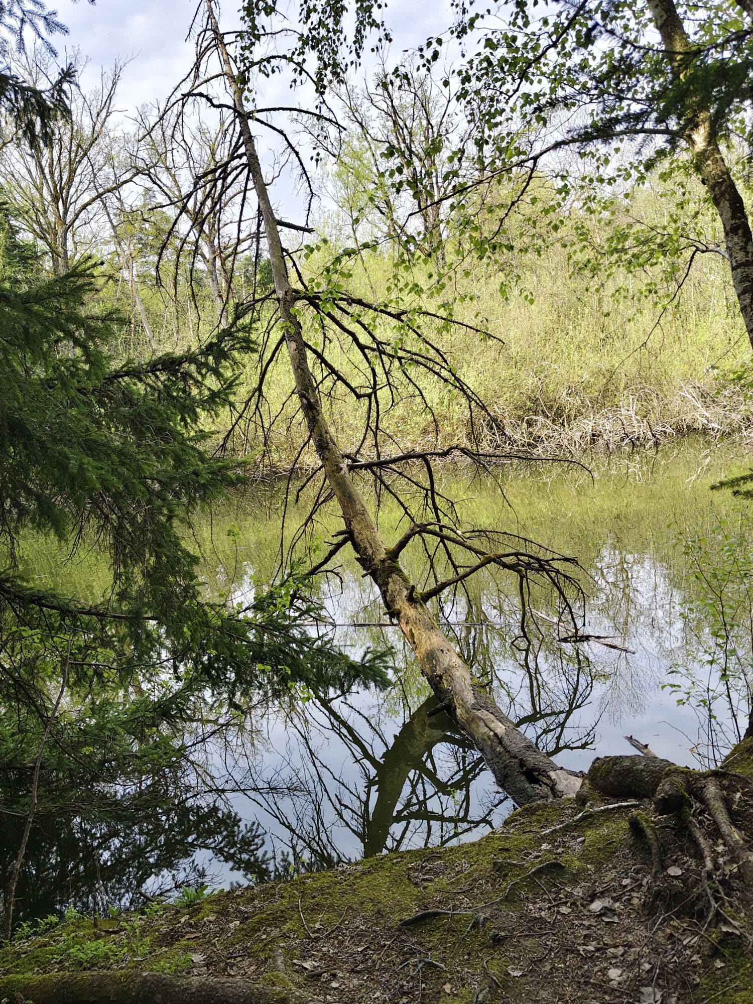
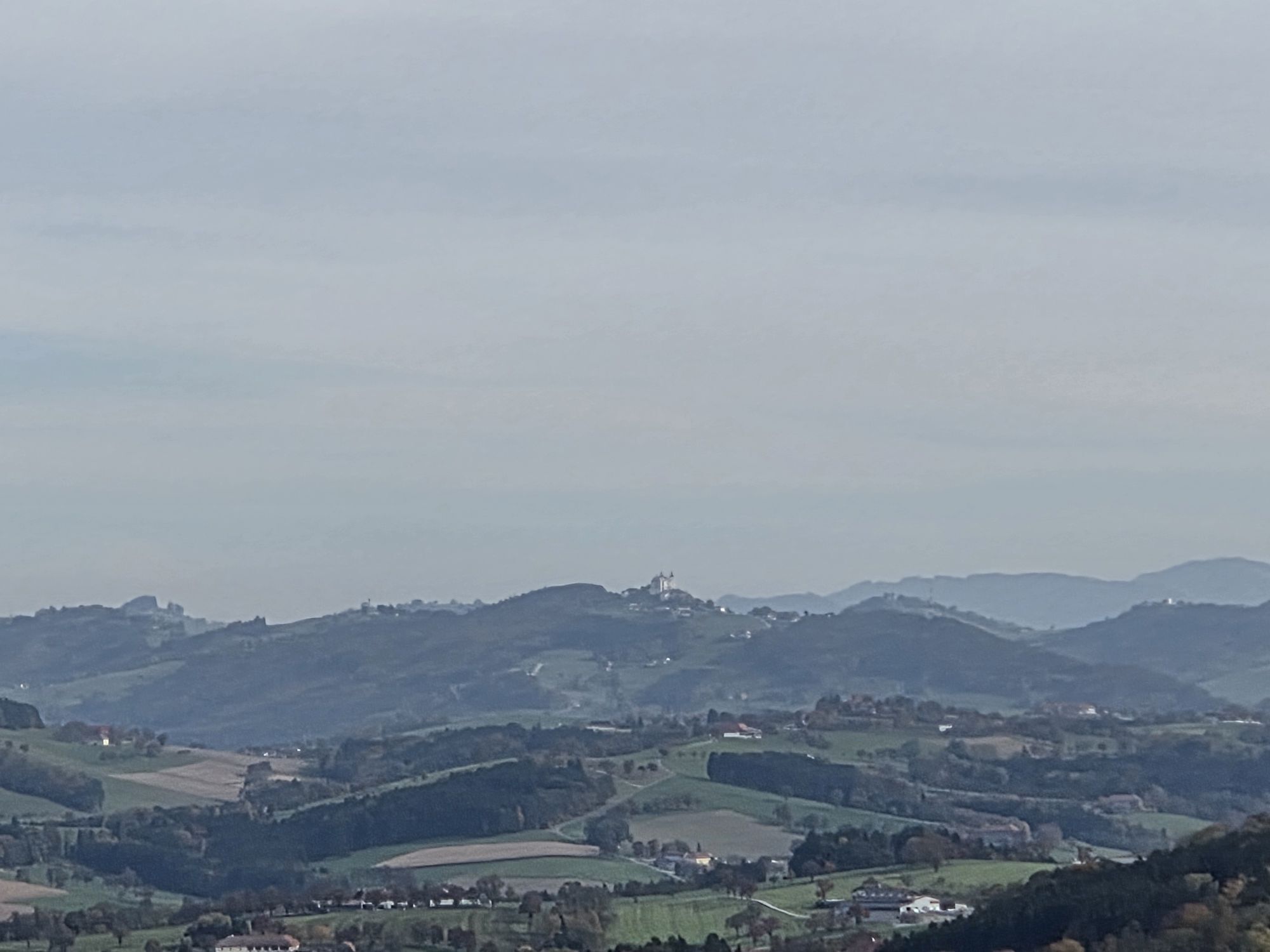
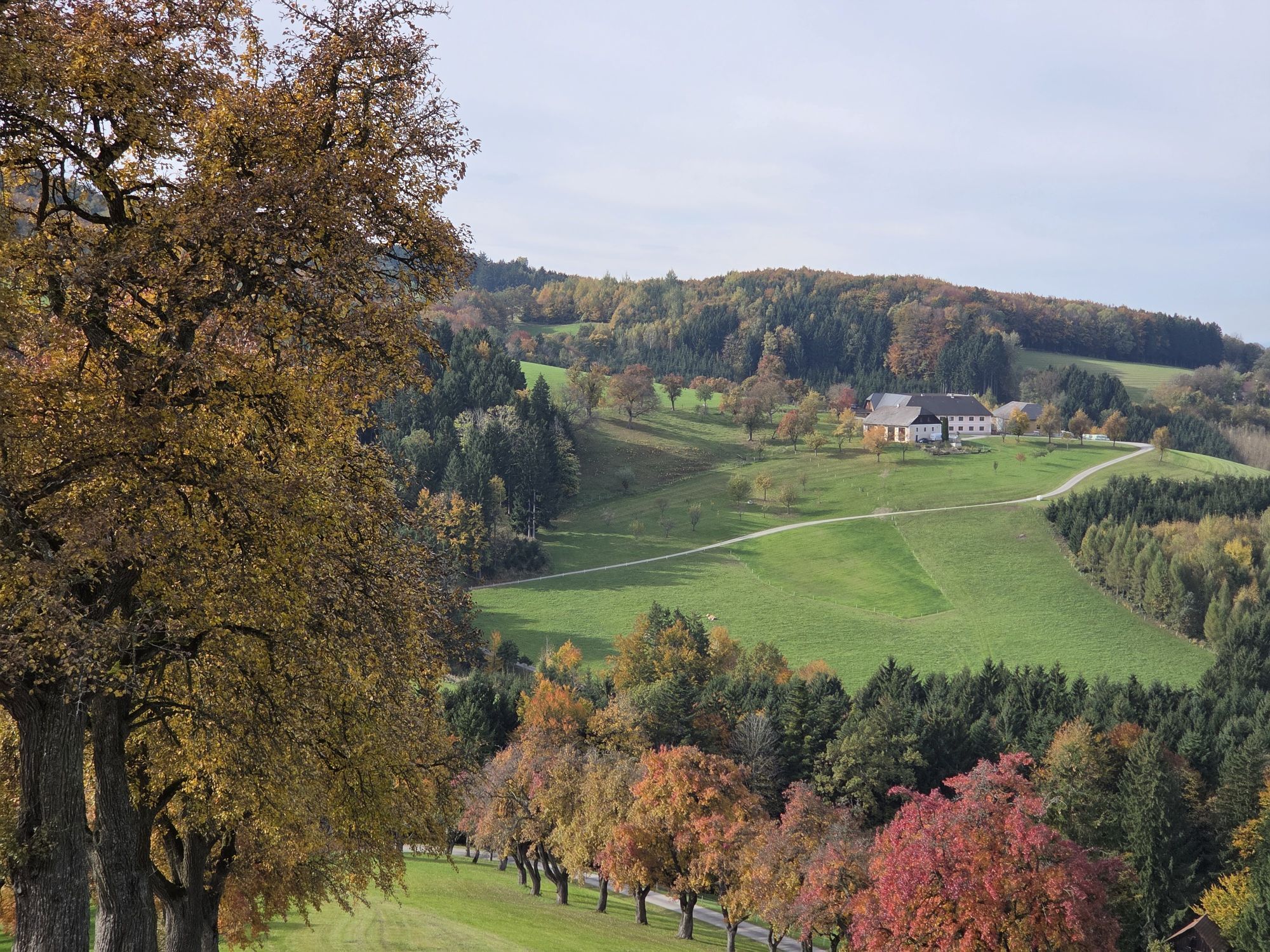
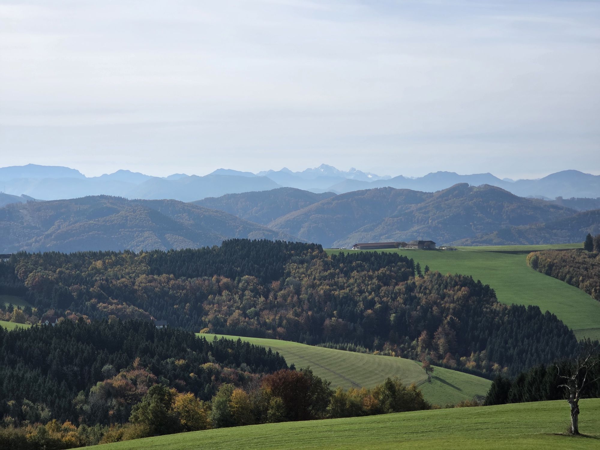
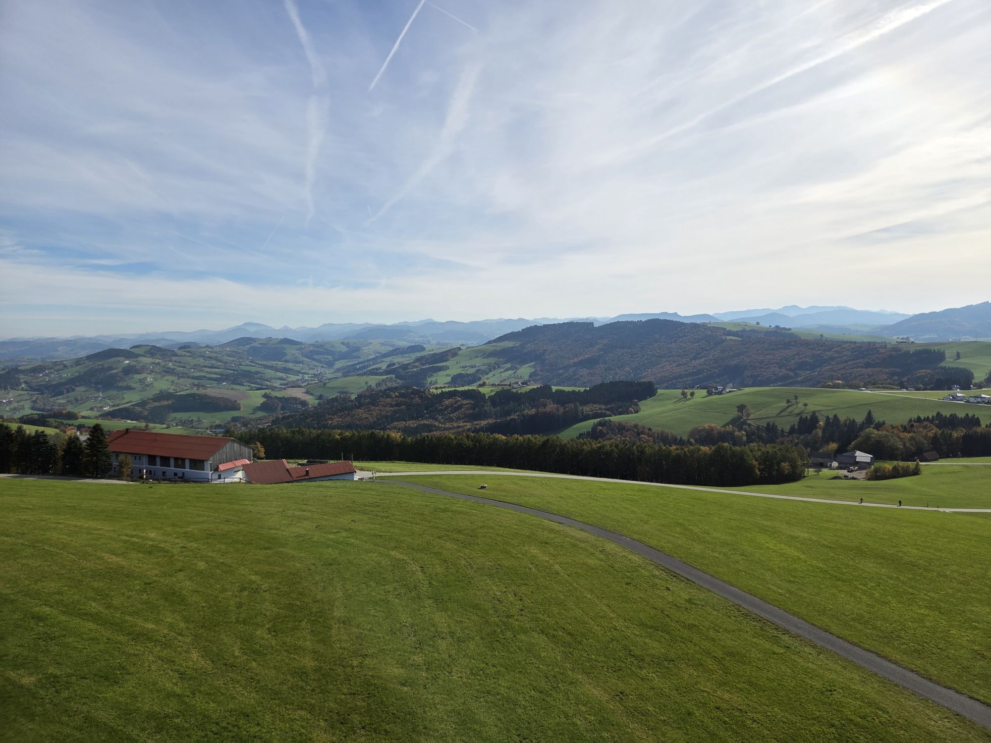
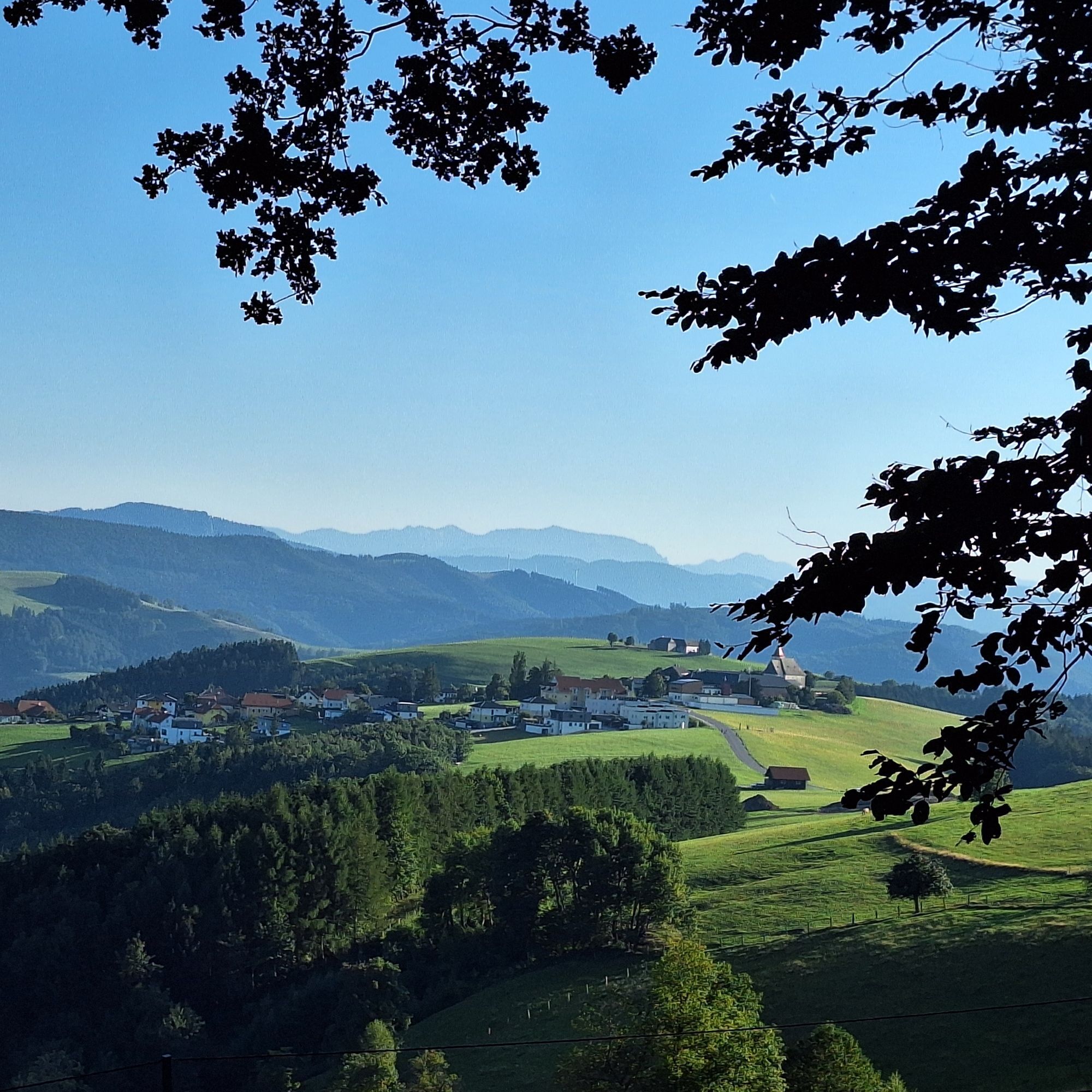
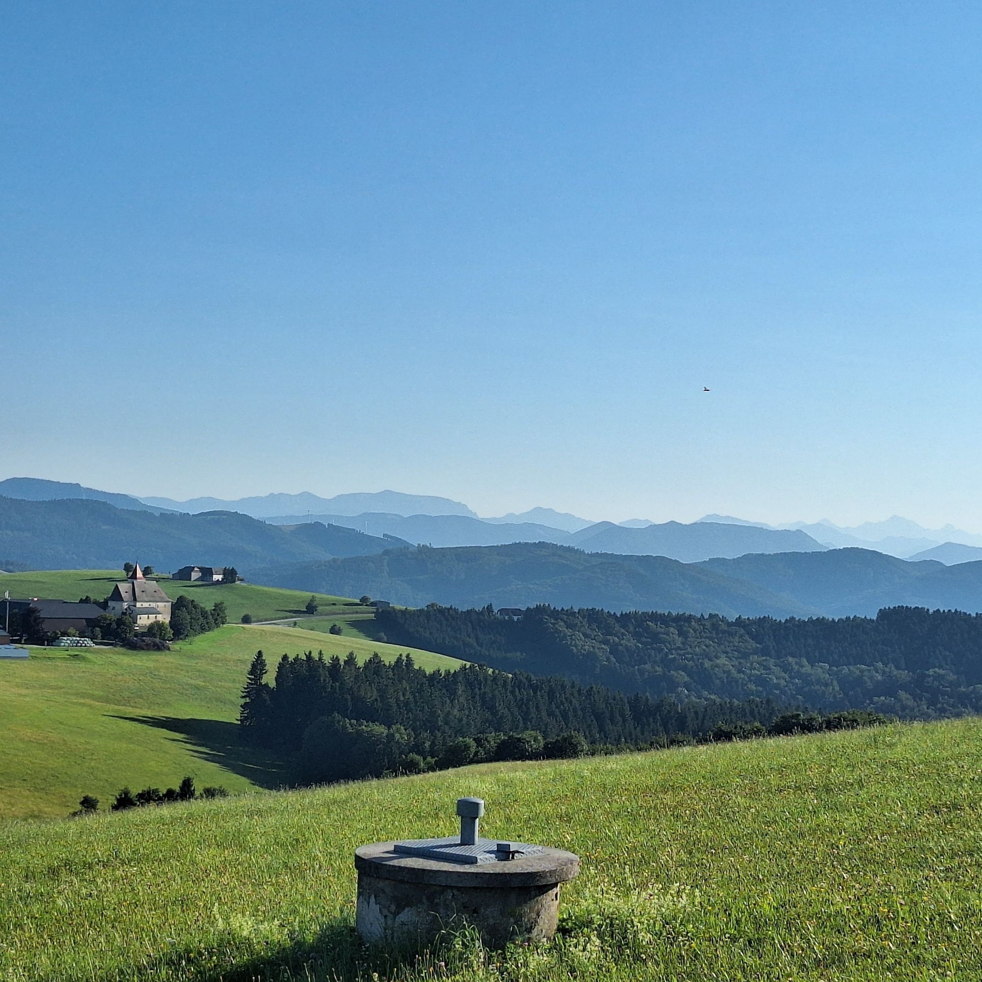
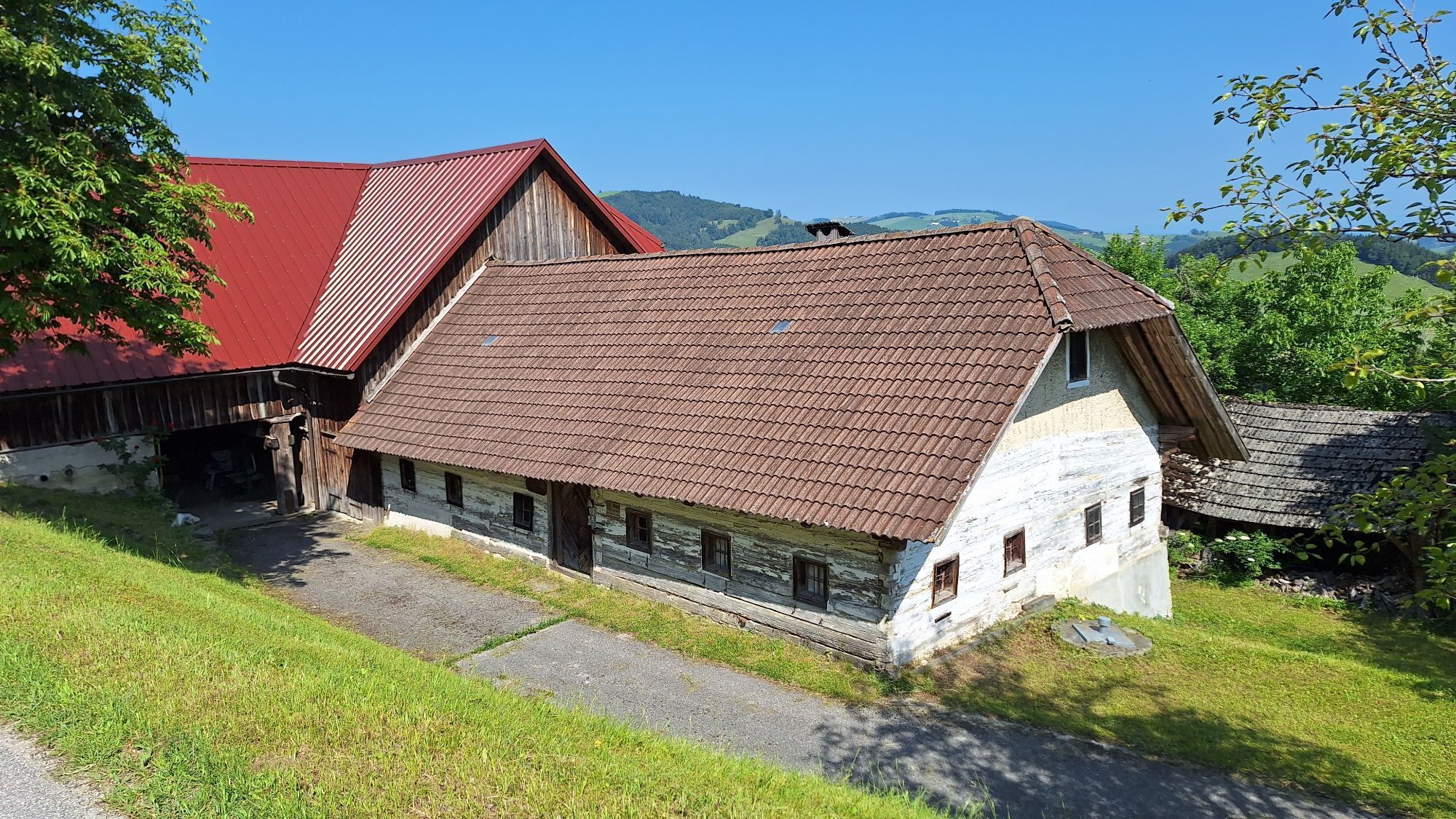
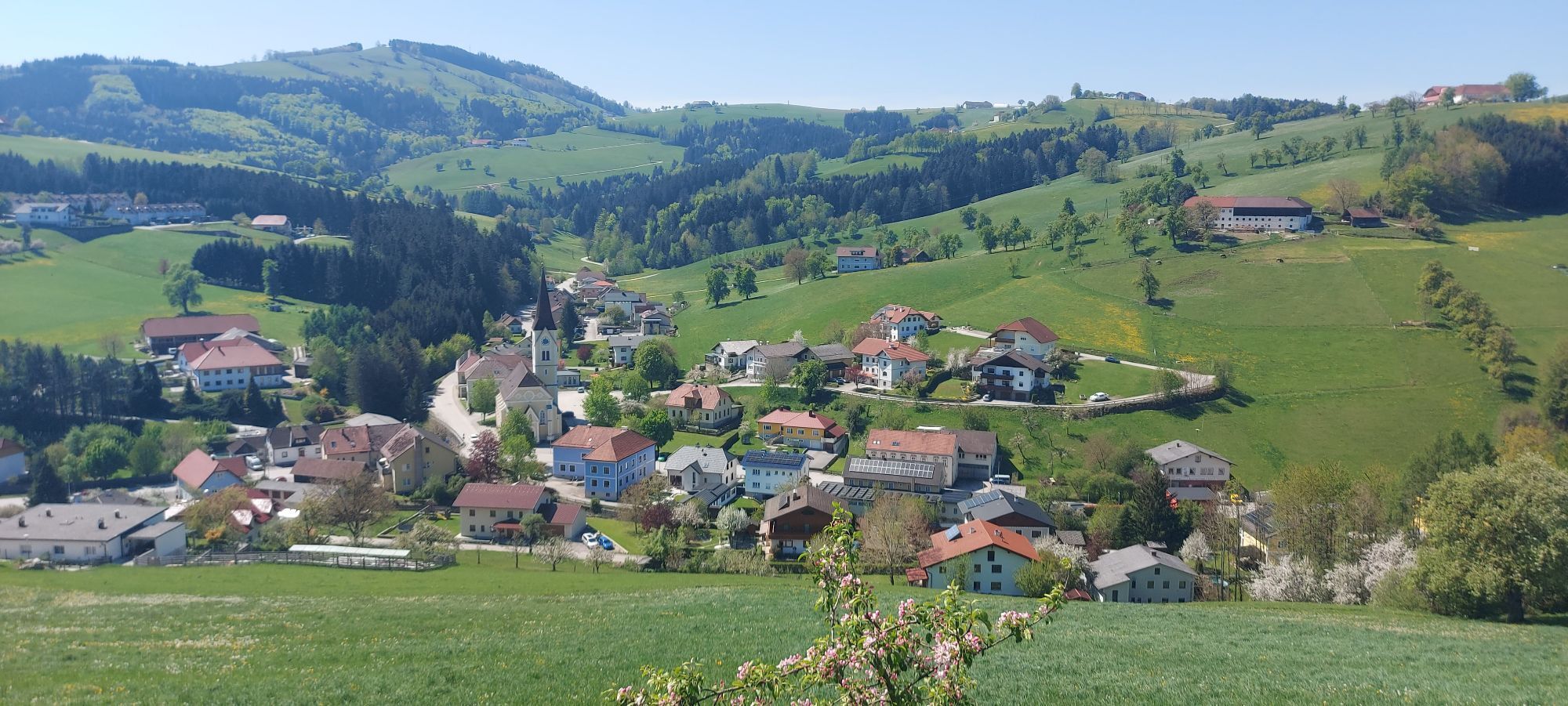
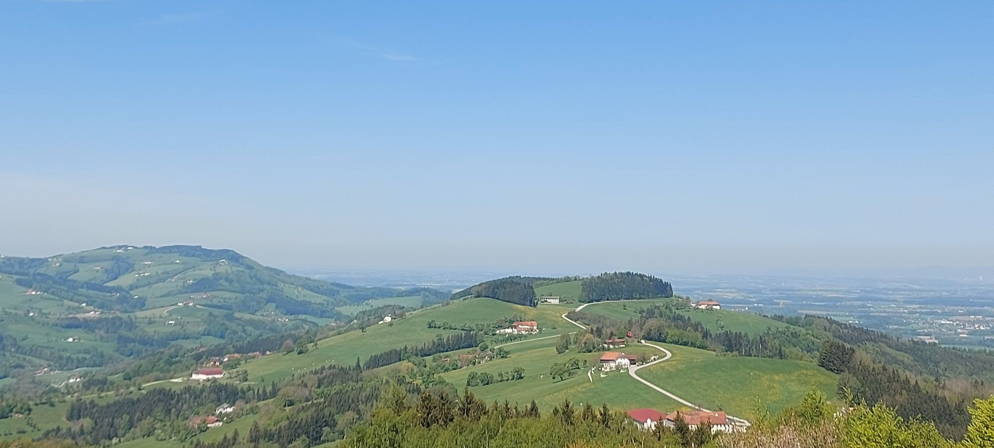
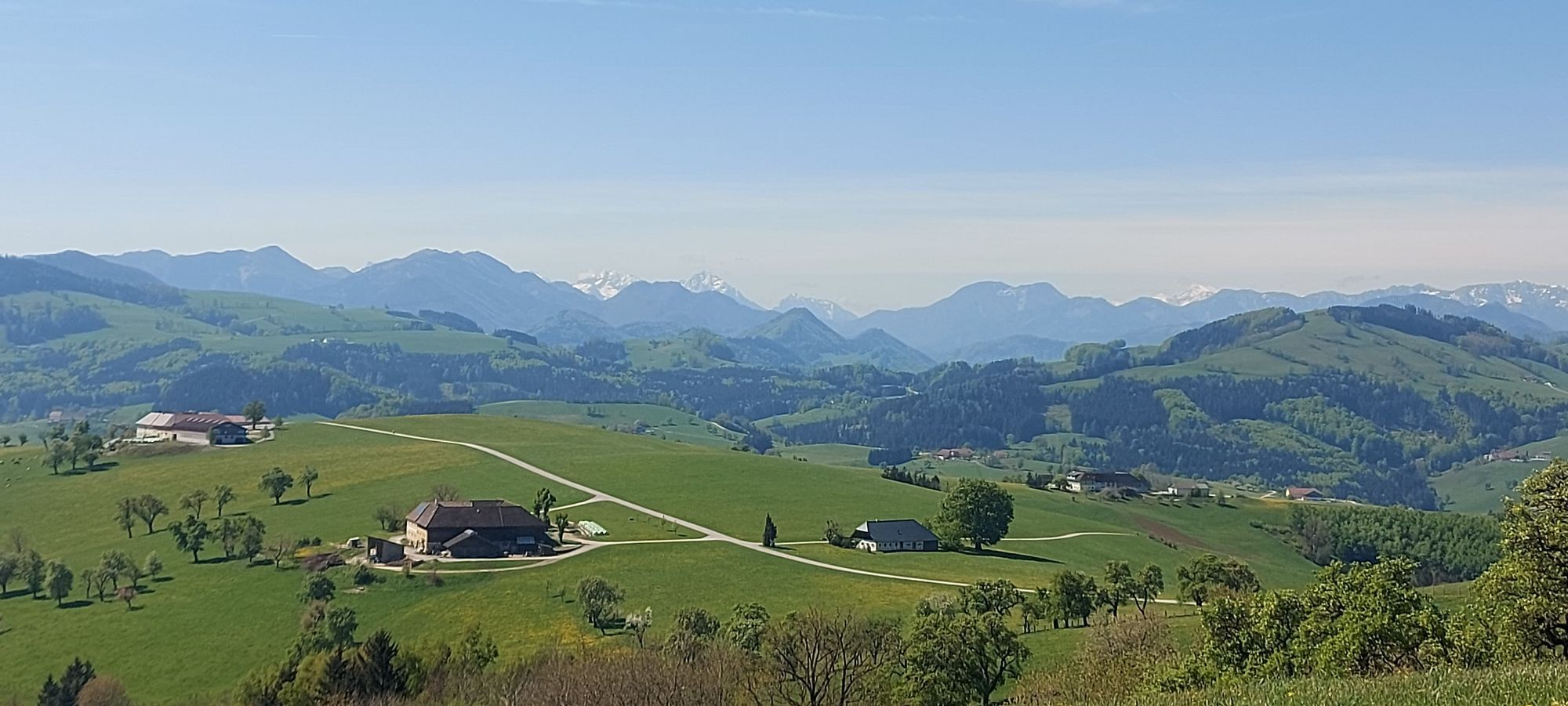
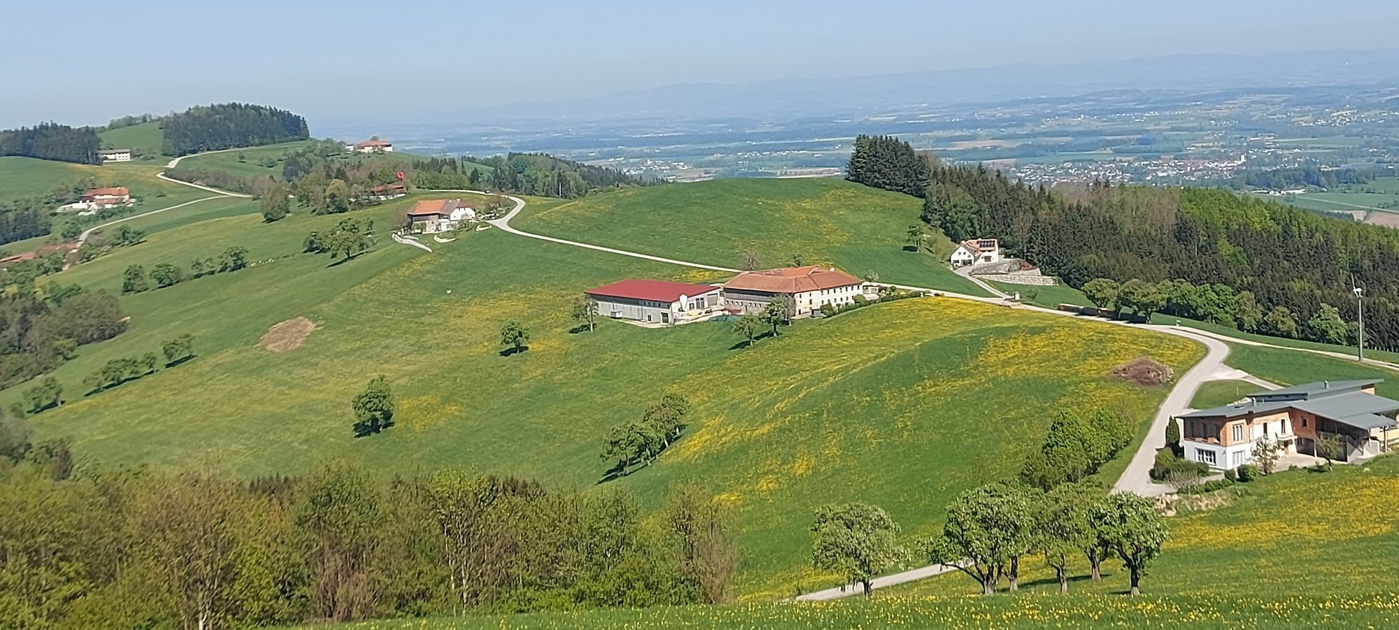
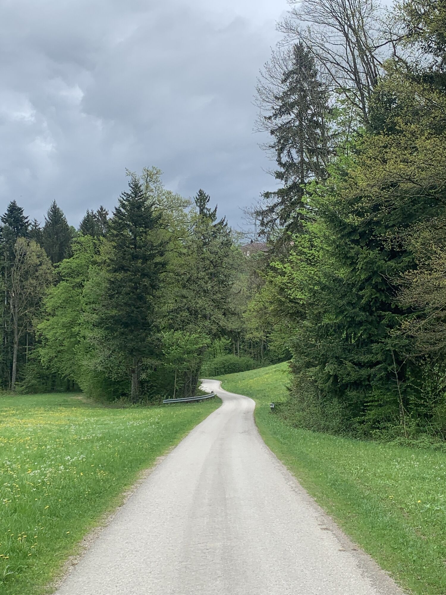
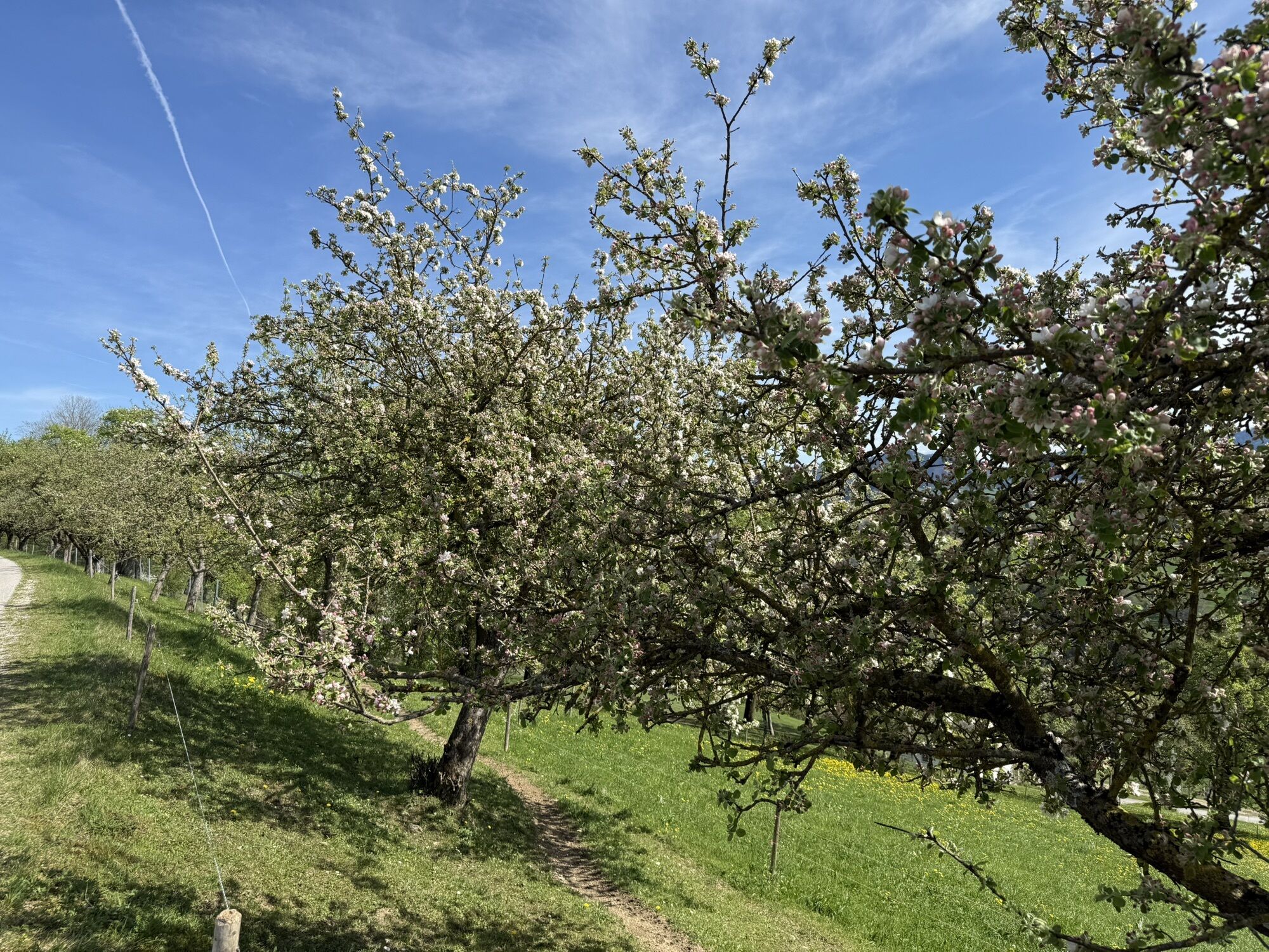
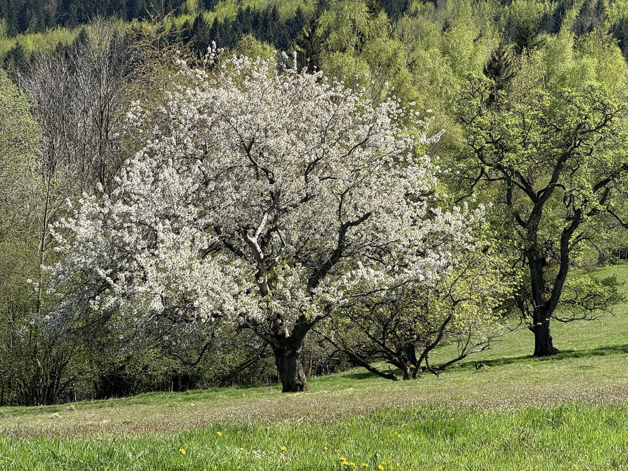
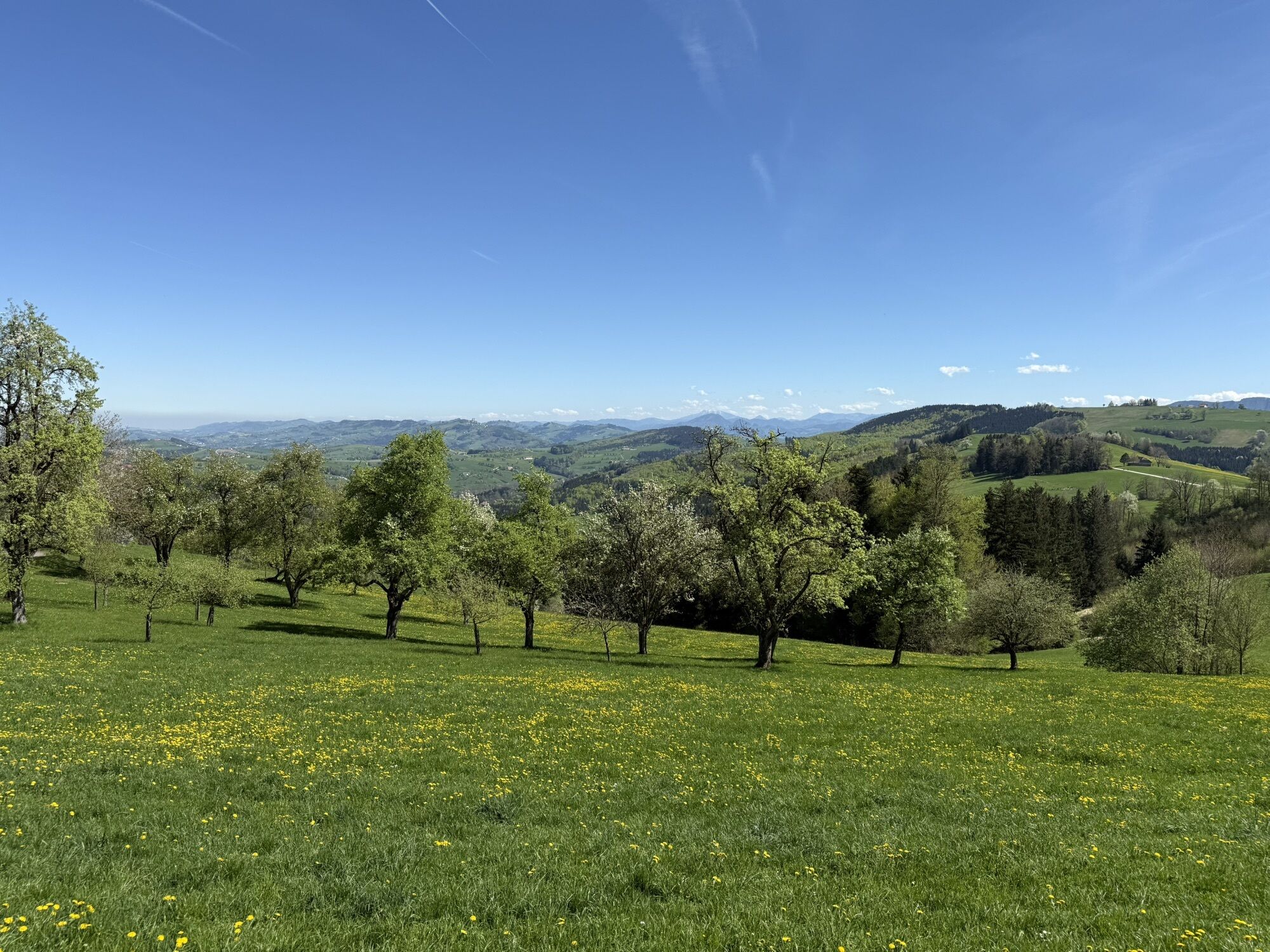
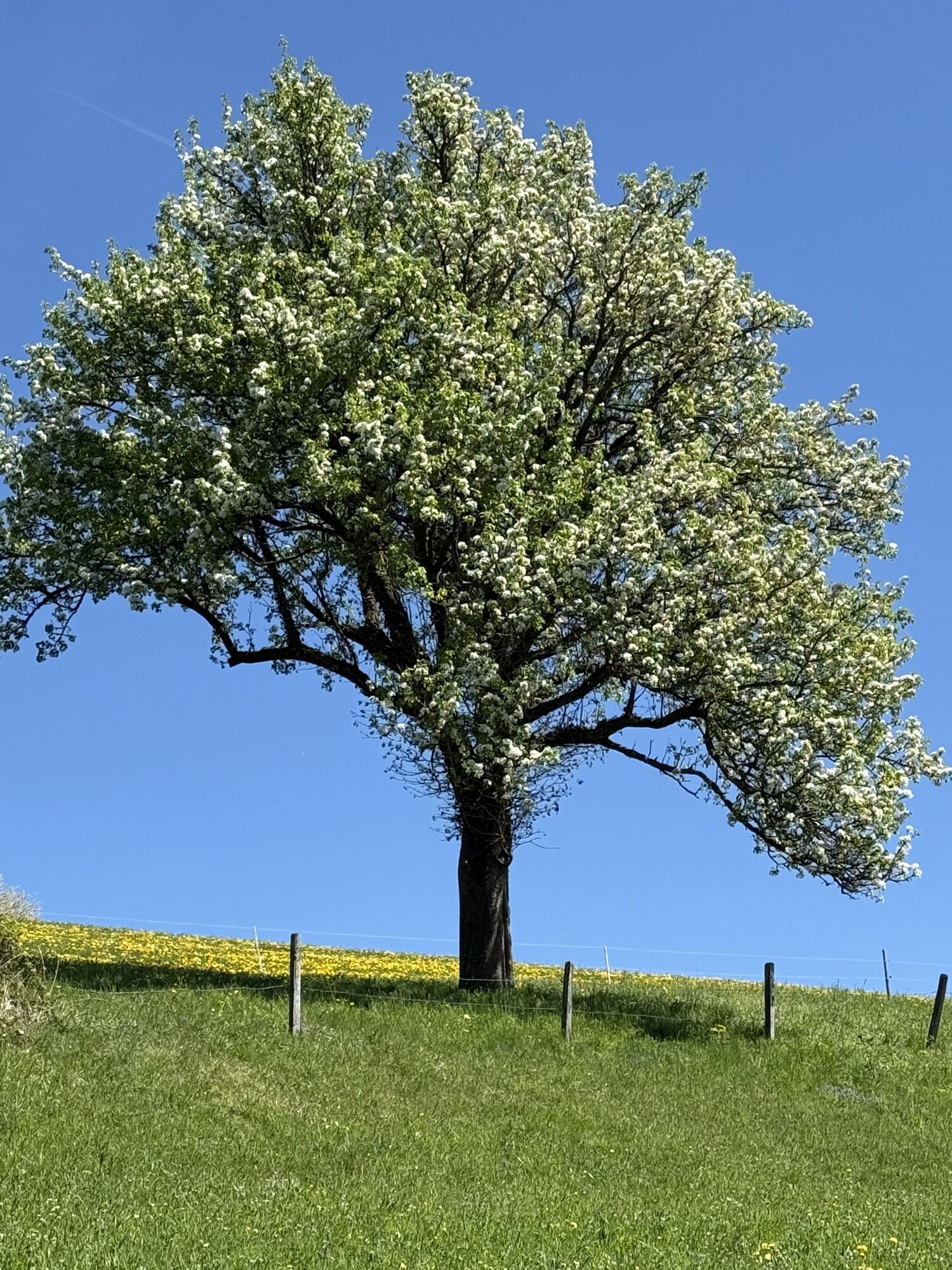
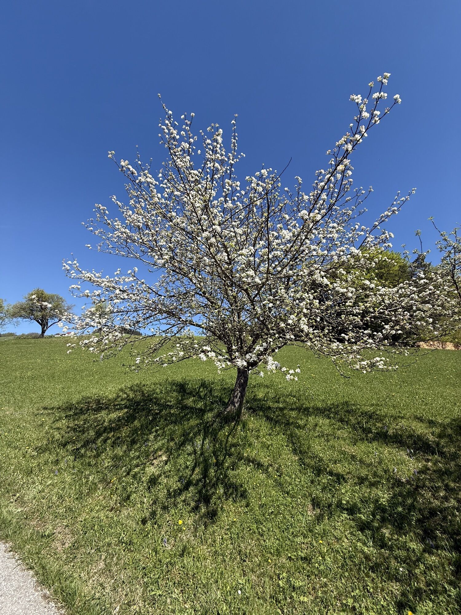
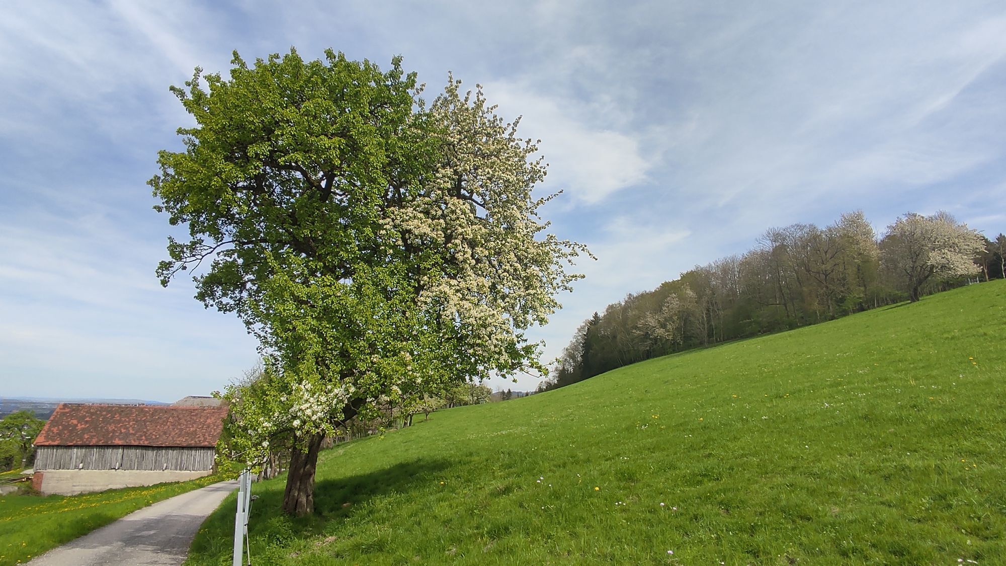
The "Heart of the Mostviertel circular hiking trail" leads over eight stages and more than 110 kilometers between rustic orchards past imposing square farms. The landscape, panoramic views and regional...
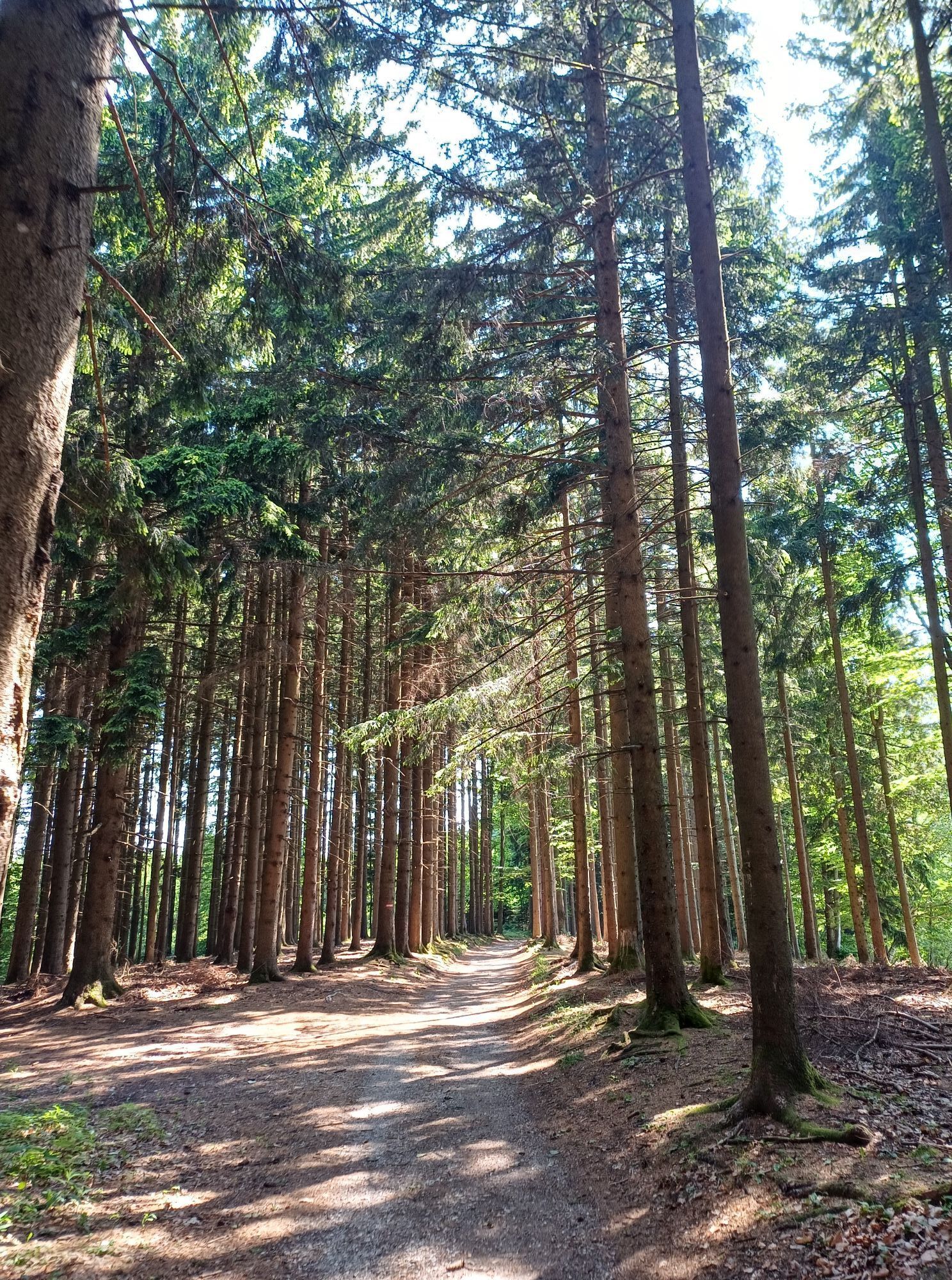
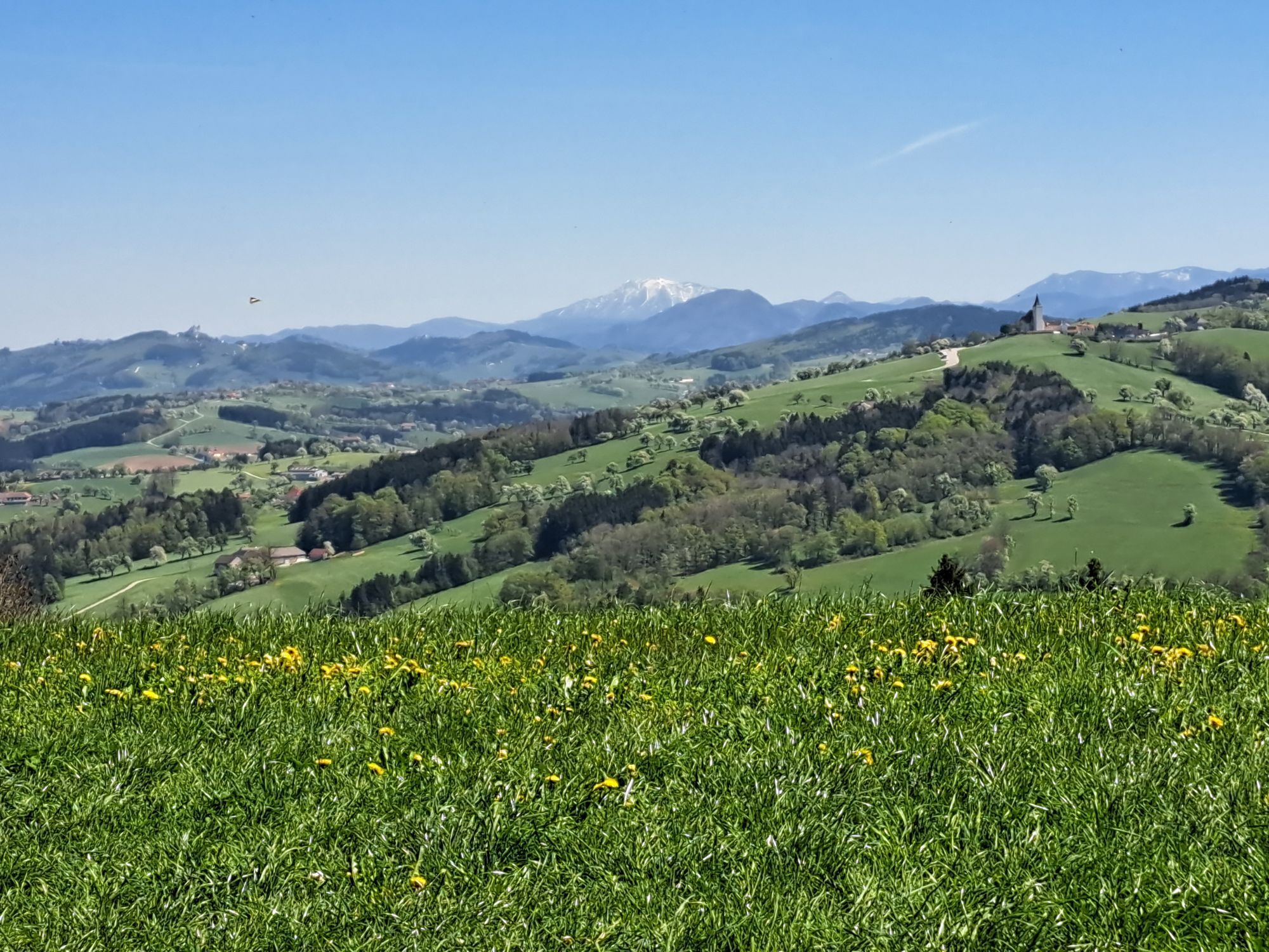
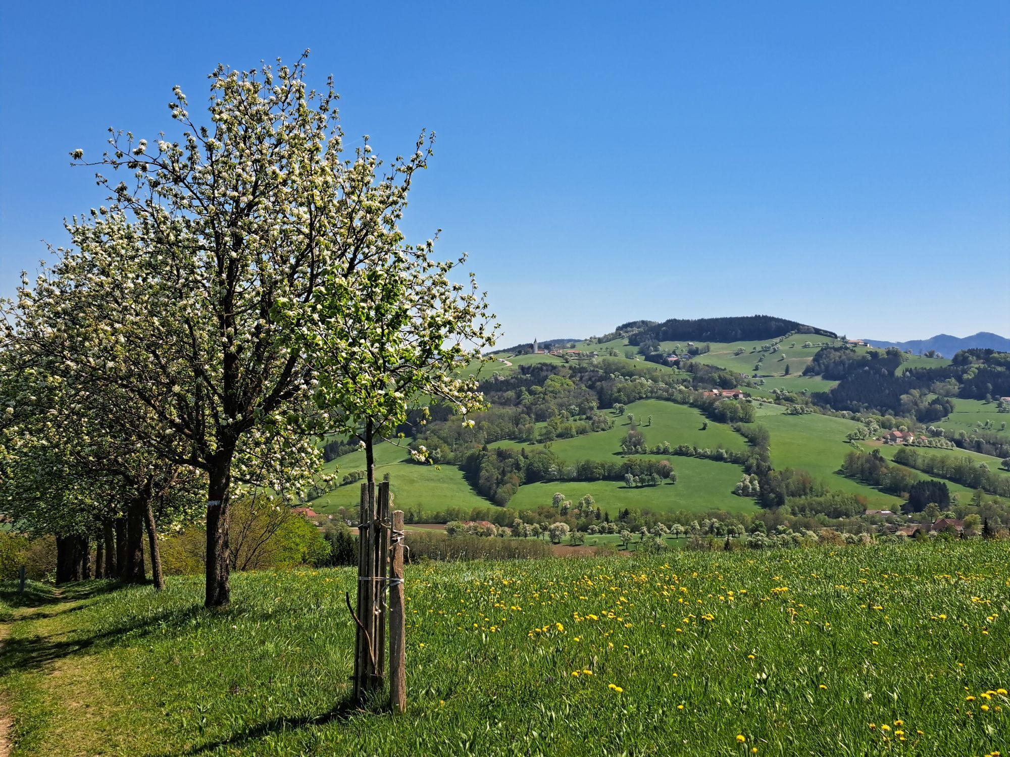
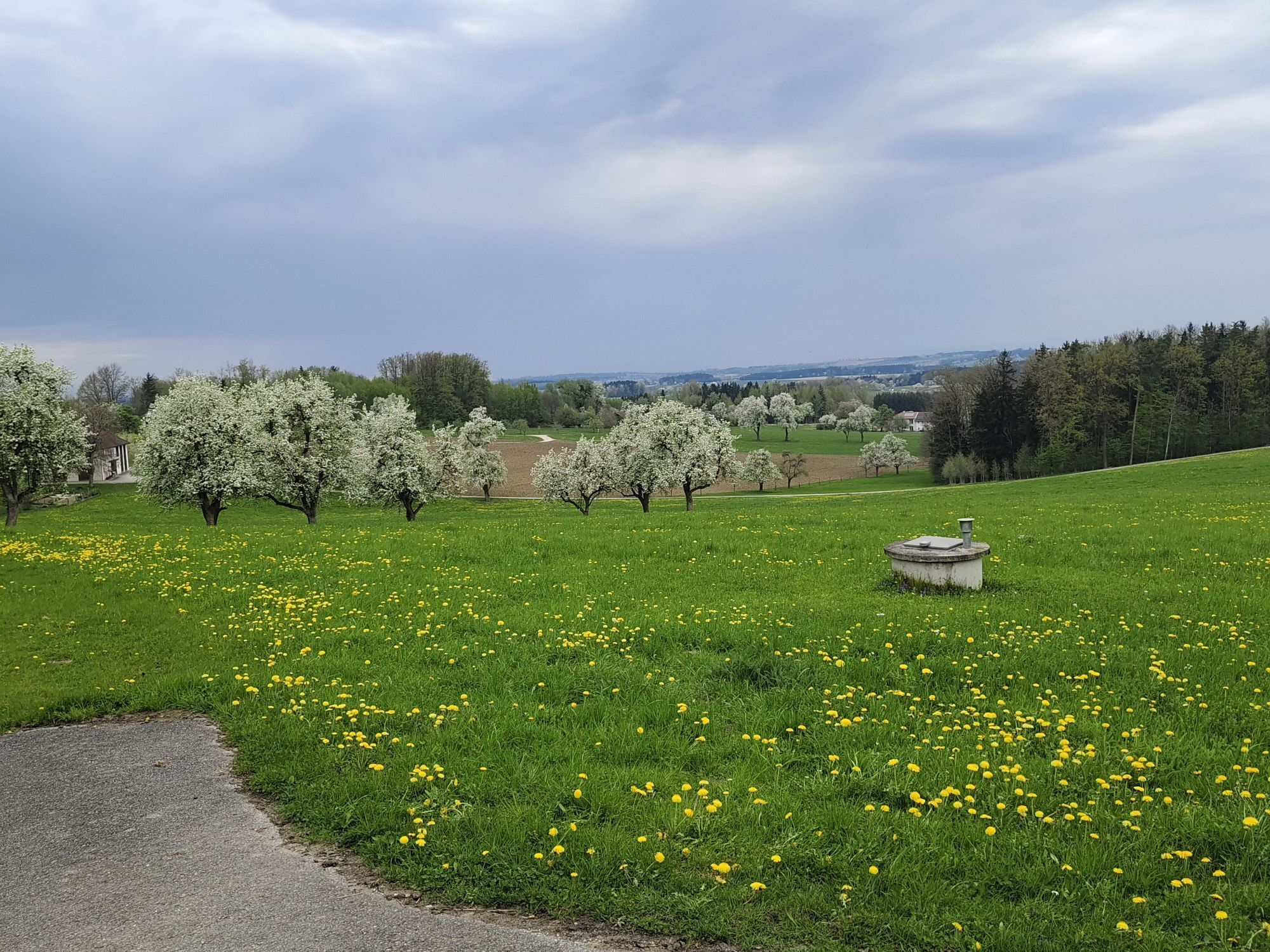
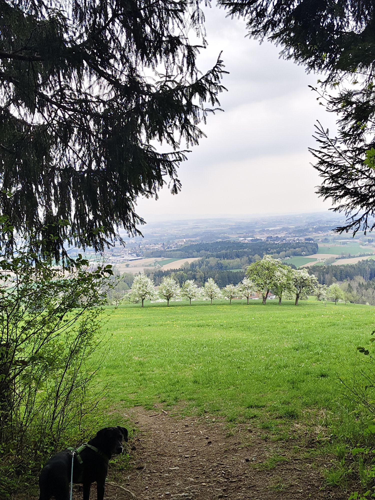
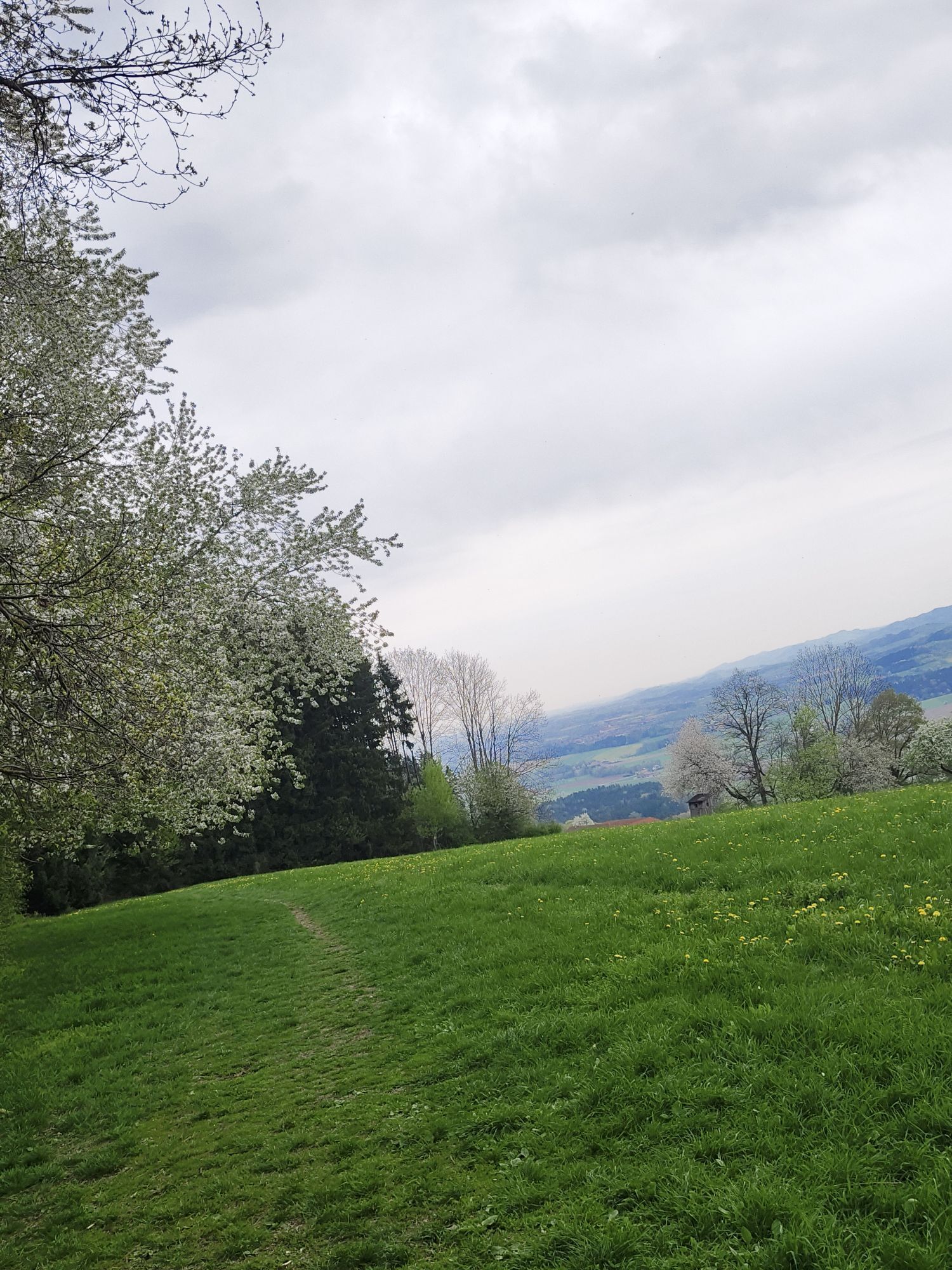
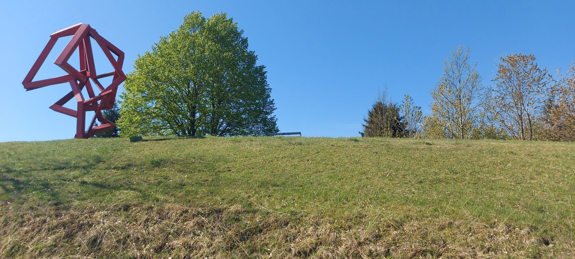
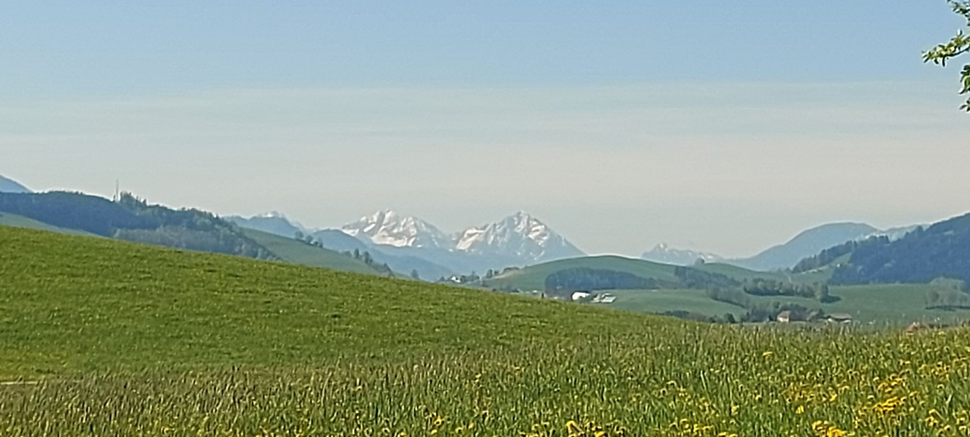
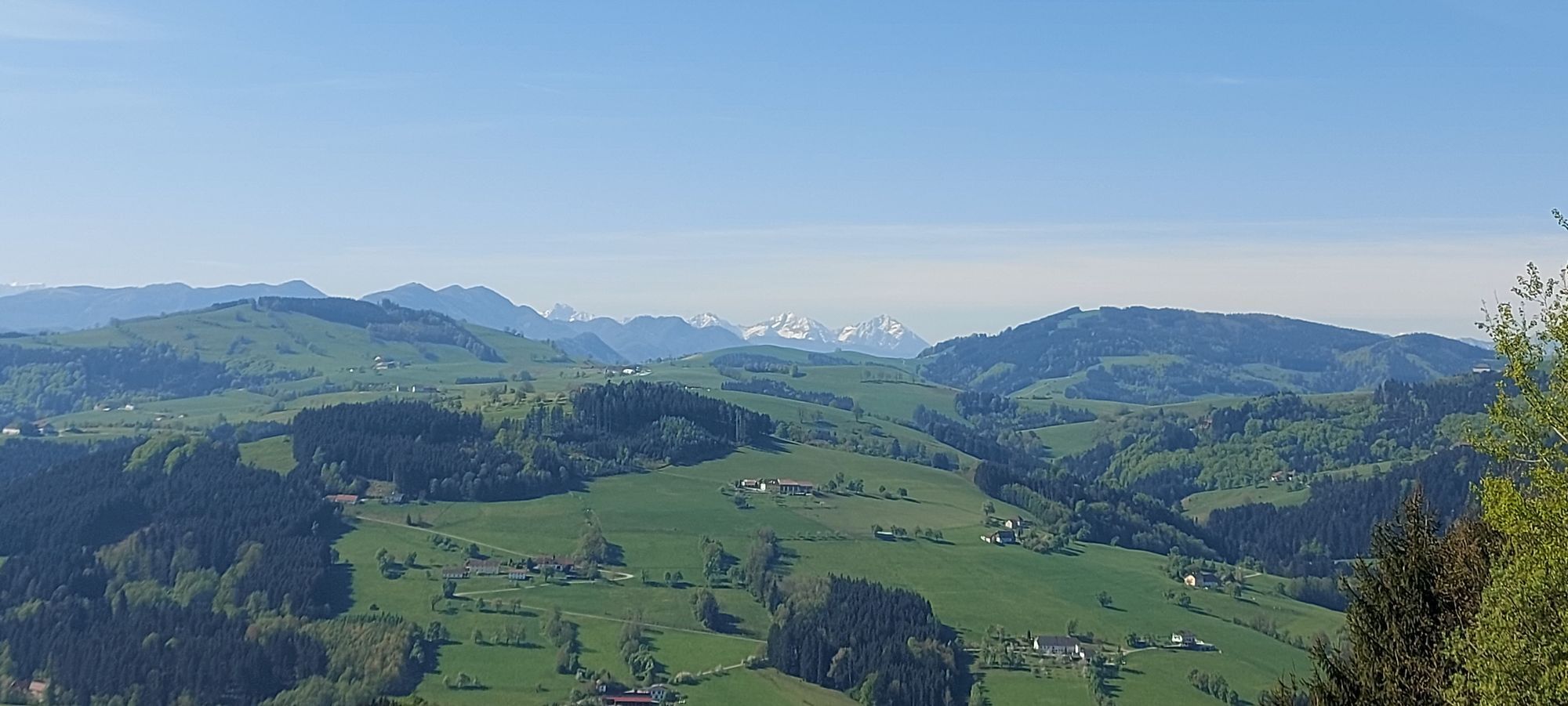
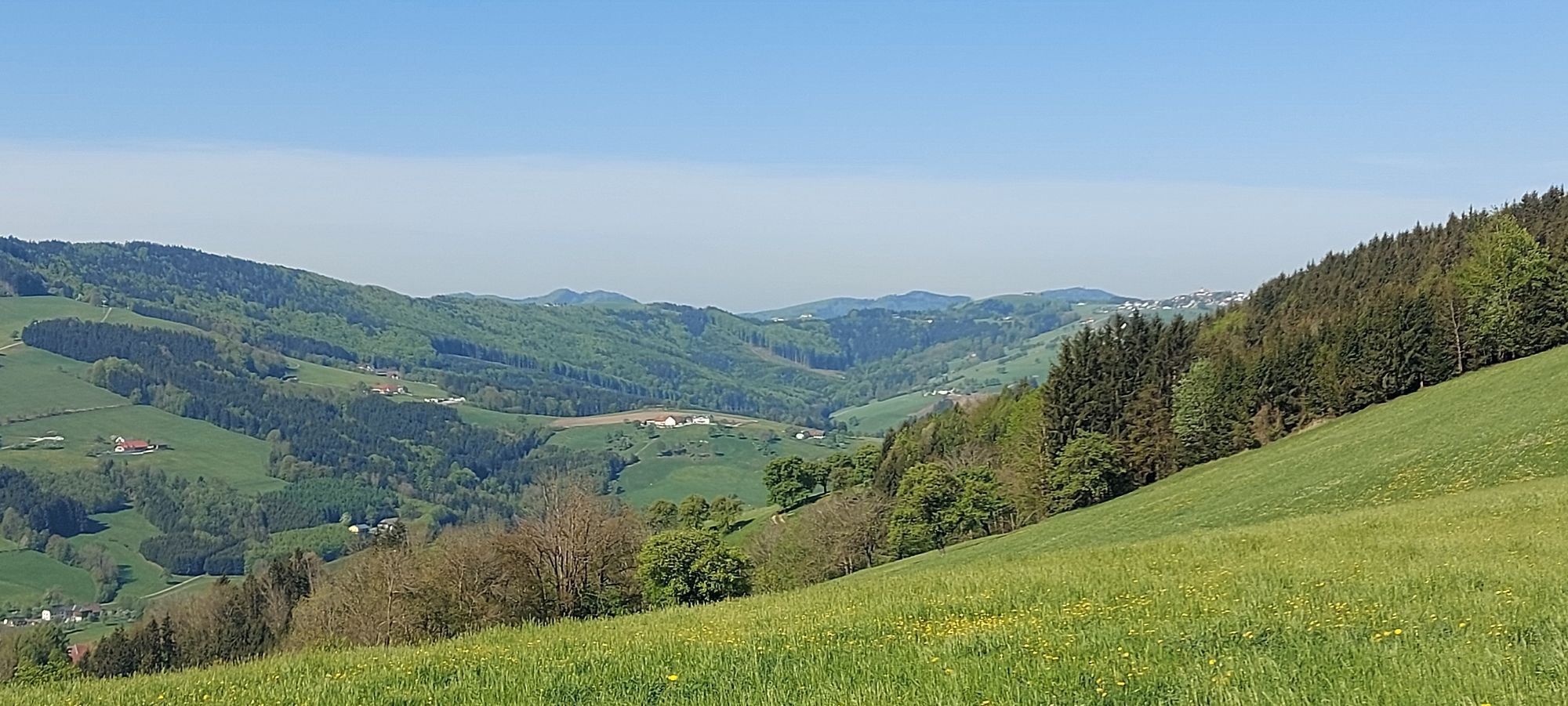
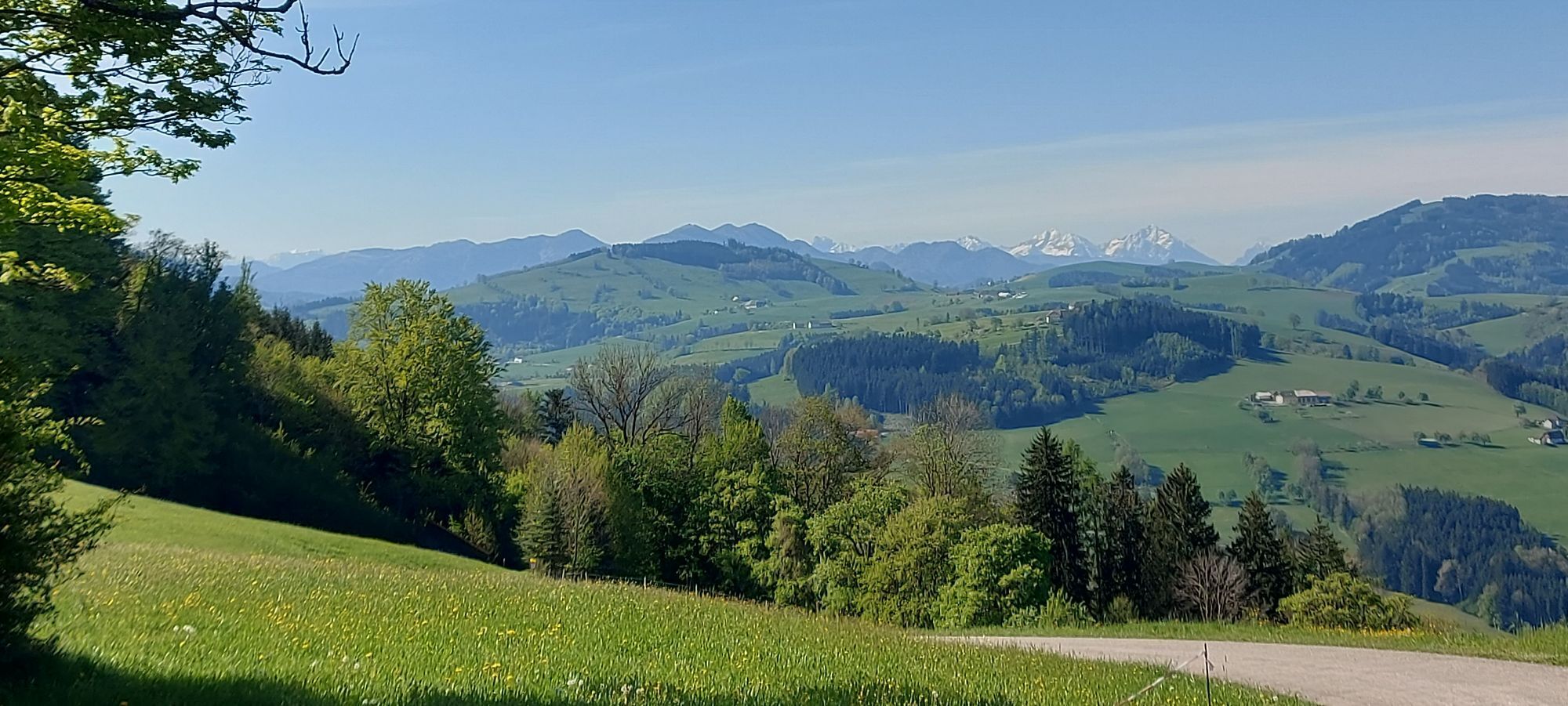
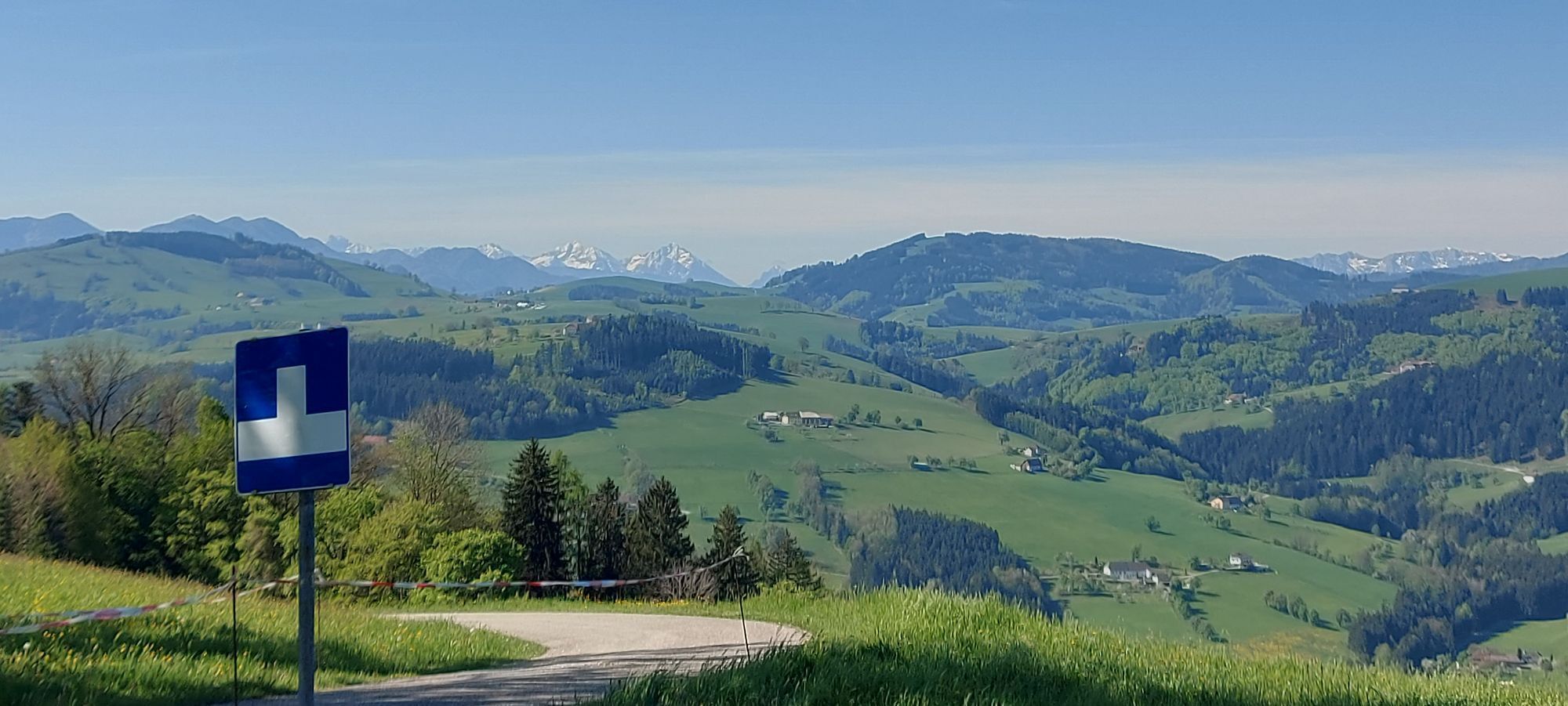
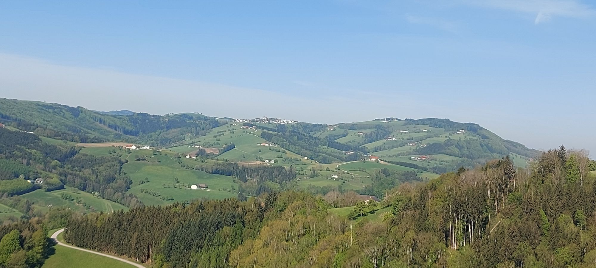
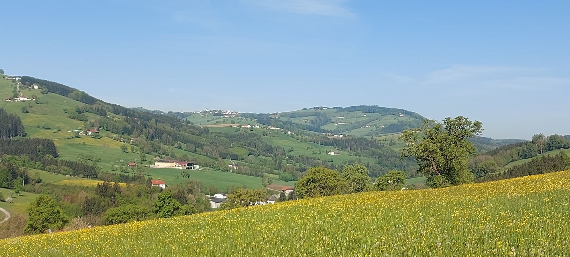
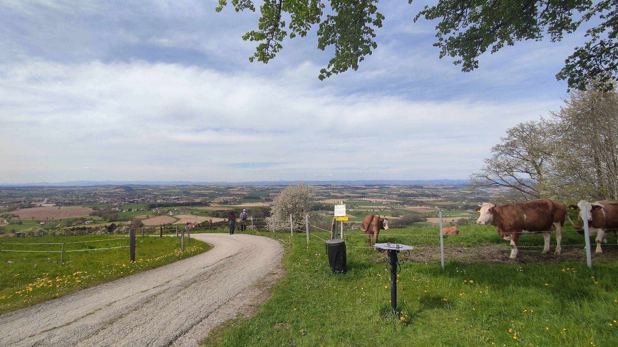
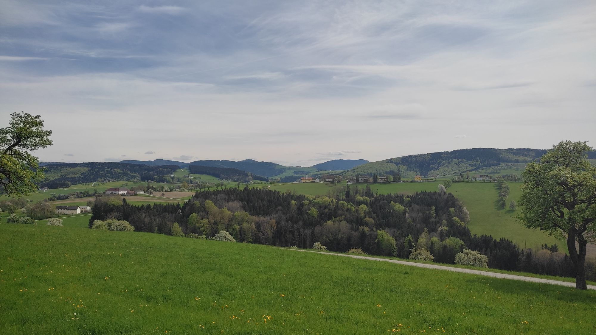
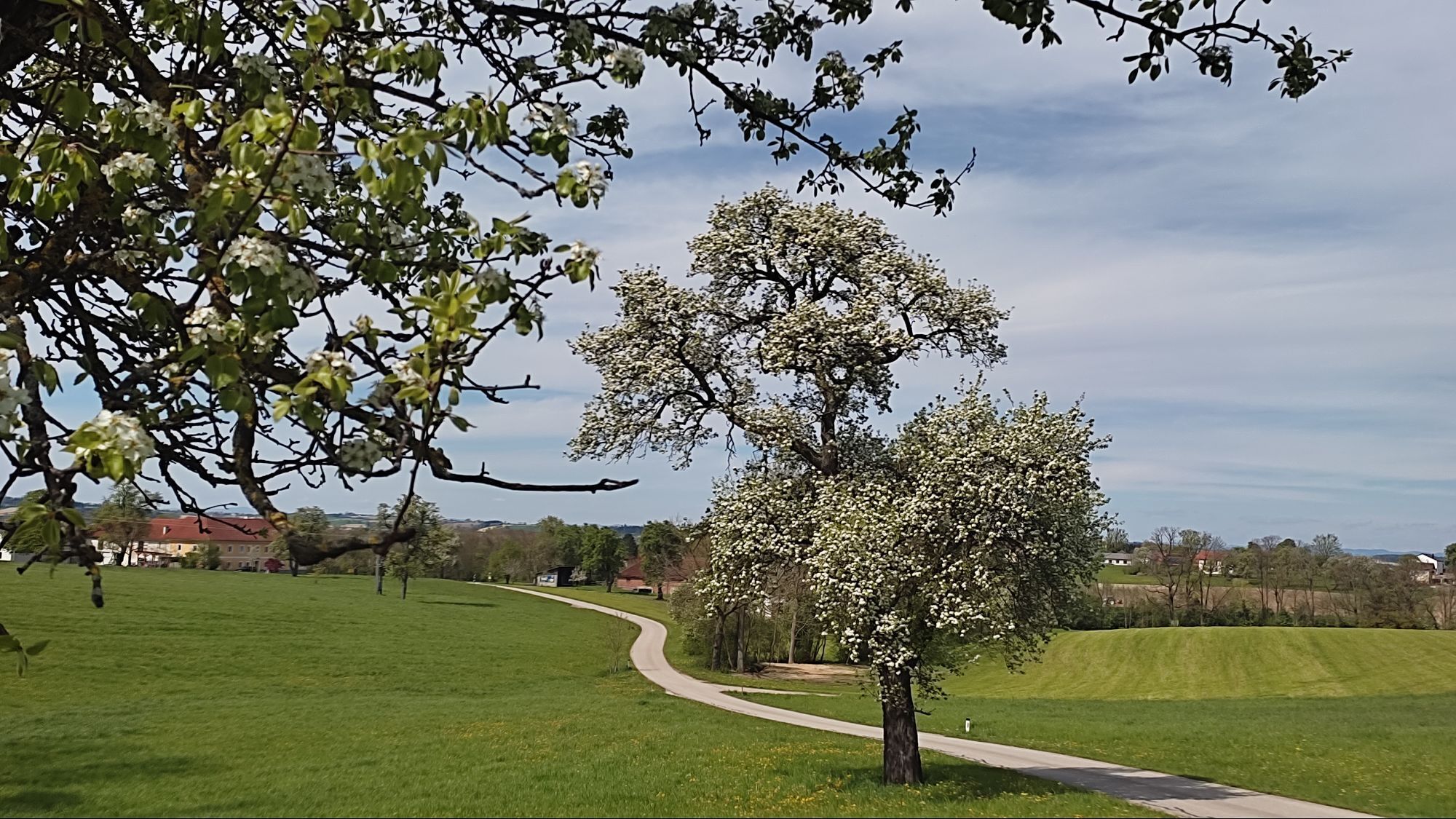
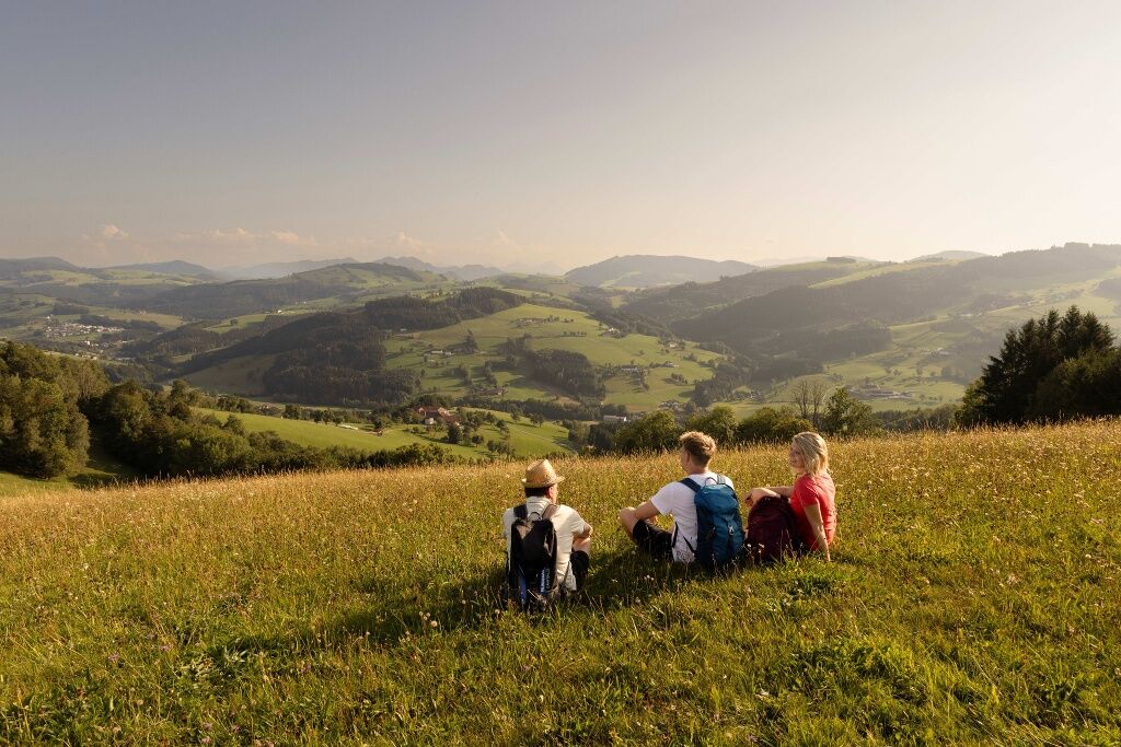
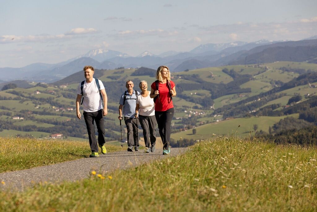
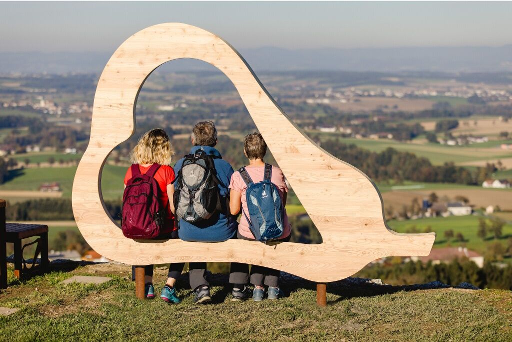
The "Heart of the Mostviertel circular hiking trail" leads over eight stages and more than 110 kilometers between rustic orchards past imposing square farms. The landscape, panoramic views and regional specialties ensure enjoyment all along the way! As a sign of appreciation for the cider pear and its history, you will learn interesting facts about this region. You will also encounter personal stories, regional greats and hidden natural beauties along the way - some in the form of informative stations. From the Ötscher to the Gesäuse to the Tote Gebirge - you can enjoy wide panoramas on numerous sections, especially at "warmly" designed viewing and resting points. The heart-shaped pears accompany you as distinctive symbols on the signposts and in the unmistakable furniture. A tangy sip of Cider, a hearty snack at a Tavern or an extended stop at one of the inns will nourish body and soul along the way. And after a successful day's stage, you can soon hear the wise toast of Cider at a social gathering in the heart of the Mostviertel: "G'sundheit! That's the way to live!"
Information about the Heart of the Mostviertel circular hiking trail and the eight hiking stages:www.herzmostviertel.at/rundwanderweg
Stage 1: Aschbach-Markt to SeitenstettenStage 2: Seitenstetten to BiberbachStage 3: Biberbach to St. Michael am BruckbachStage 4: St. Michael am Bruckbach to ErtlStage 5: Ertl to KürnbergStage 6: Kürnberg to St. Peter in der AuStage 7: St. Peter in der Au via Weistrach and St. Johann in Engstetten to WolfsbachStage 8: Wolfsbach to Aschbach-Markt

The entire circular hiking trail starts and ends at Aschbach-Markt train station and is therefore easily accessible by public transport. For orientation along the route, please refer to the descriptions of the eight individual stages – more information at www.herzmostviertel.at/rundwanderweg!
The start and end point of the entire circular hiking trail is the train station Aschbach-Markt. The starting points of the eight individual stages are also easily accessible by public transport. Please note the information field "Public Transport"!
Comfortable (ARRIVAL/DEPARTURE)
Use the environmentally friendly and comfortable arrival and departure by train, bus, or VOR Flex call-collect taxi.
Regional providers will also gladly bring you to the starting point.
Public transport: anachb.vor.at
or via app "VOR AnachB Route Planner" or "VOR Flex App"
Tel. 0800 22 23 24 (train)
Tel. 0800 22 25 22 (bus)
Tel. 0800 22 23 22 (call-collect taxi to selected locations, Mon to Sat from 05:30 to 20:00)
Taxi Raab Eva
www.taxi-raab.at
Tel. 0676 3398410
Bus company Fellner
www.fellnerreisen.at
Tel. 07476 77212
Tel. 0664 2823532
Parking is available at the train station and in the town center of Aschbach-Markt. Parking is also available at all start and end points of the path stages. Detailed information can be found at the individual path stages at www.herzmostviertel.at/rundwanderweg!
Heart of the Mostviertel Circular Hiking Trail: A joint project of the 7 municipalities of the small region "Heart of the Mostviertel" (Aschbach-Markt, Biberbach, Ertl, Seitenstetten, St. Peter in der Au, Weistrach, and Wolfsbach)
More information about the circular route and ordering the free hiking map can be found at:
www.herzmostviertel.at/rundwanderweg
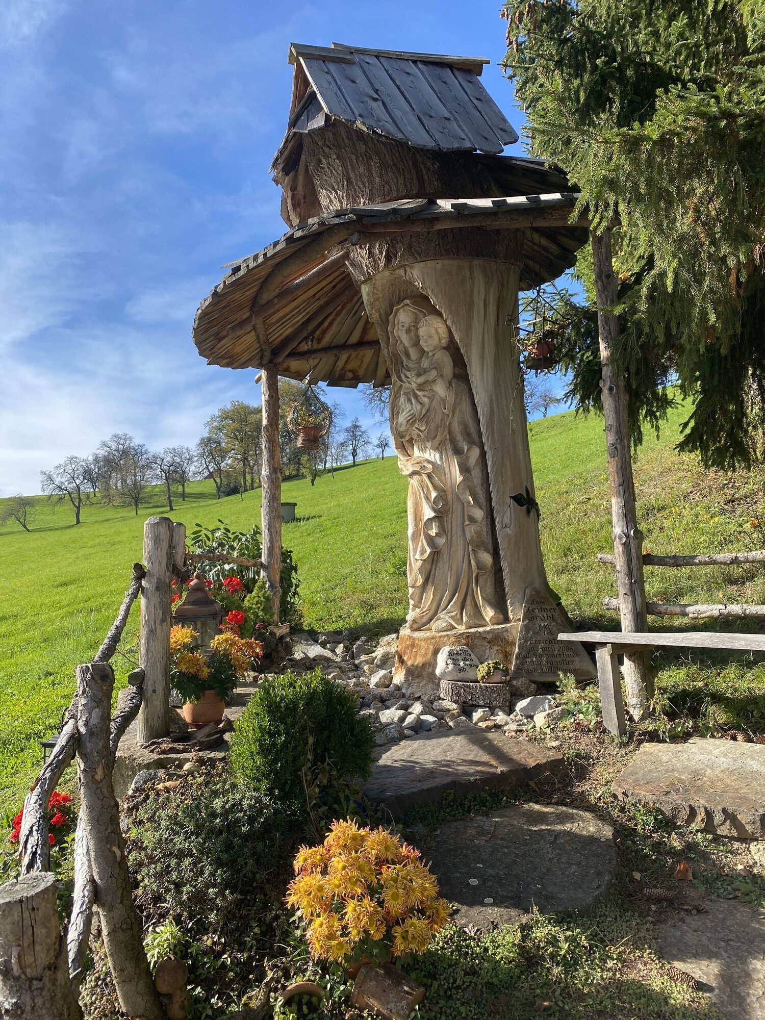
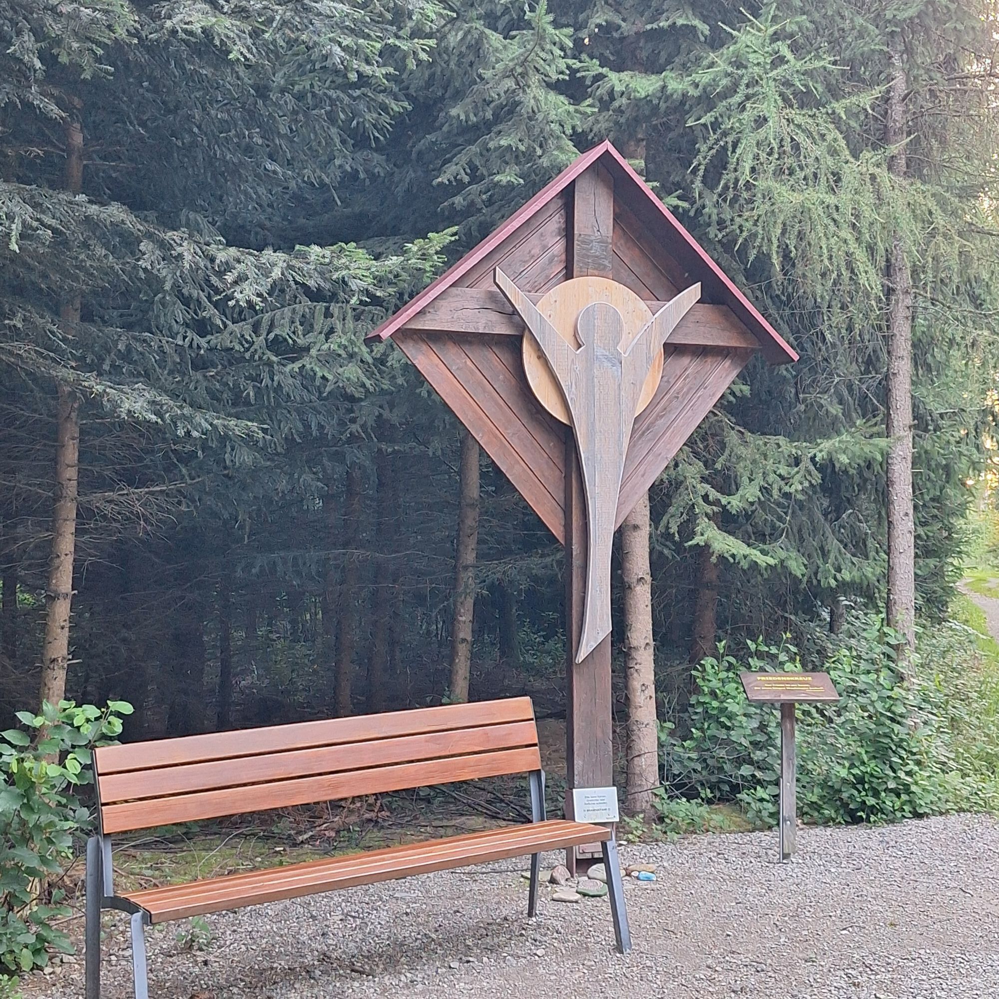
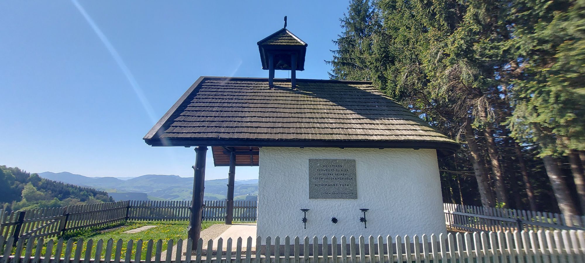
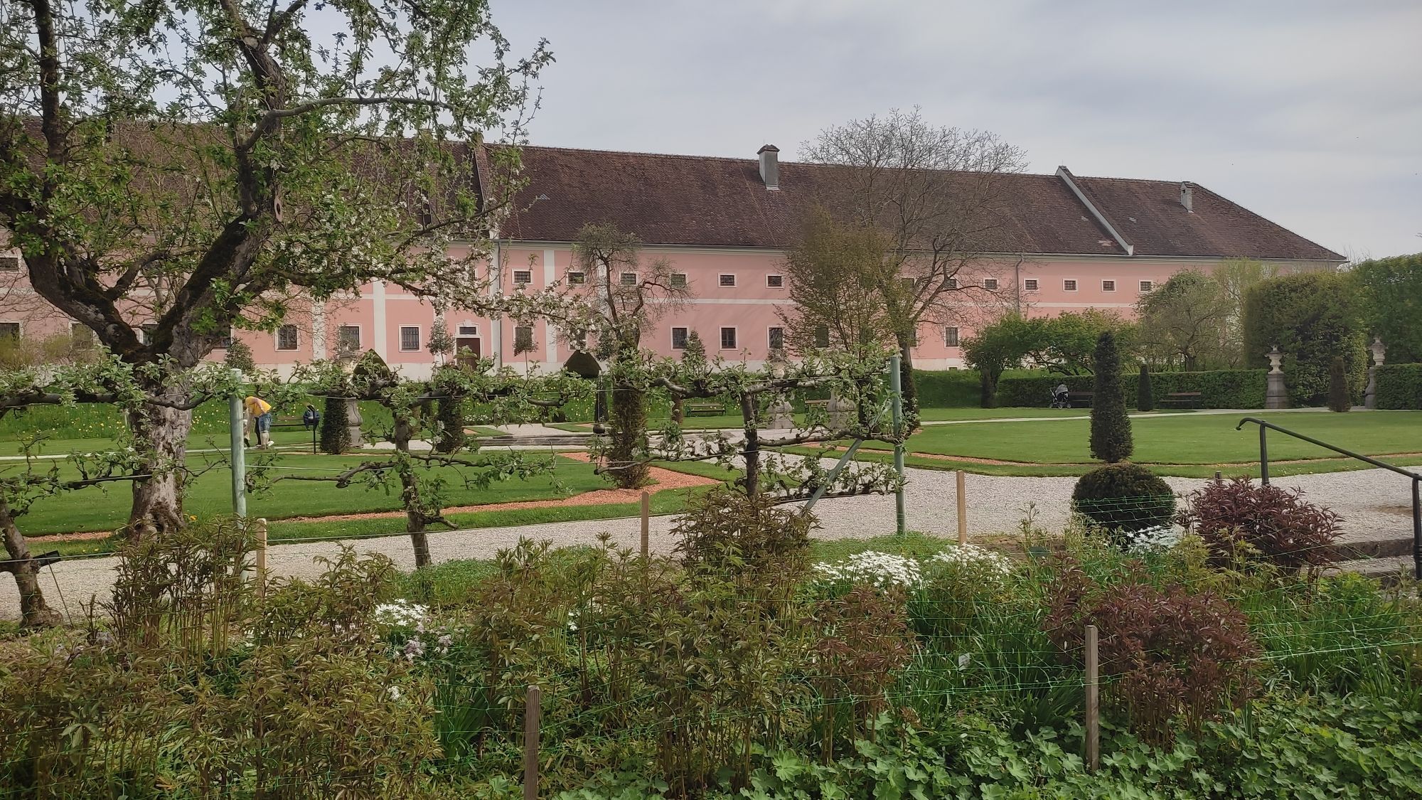
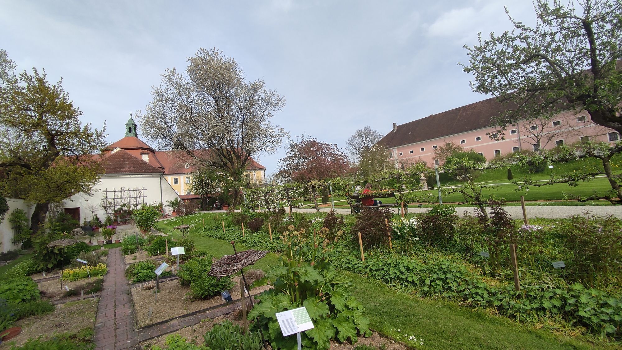
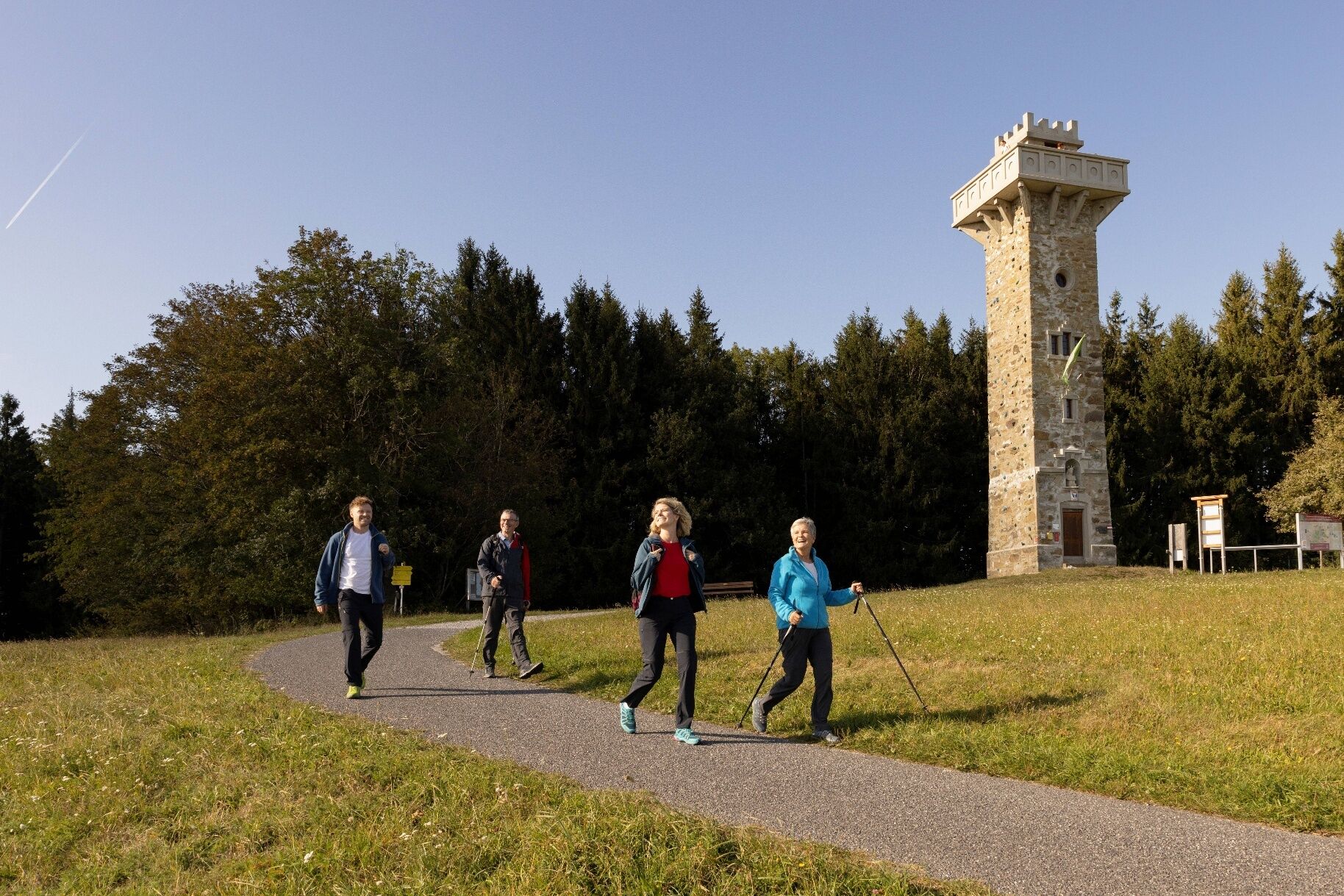
At the starting points of the individual stage hikes, information boards provide a good overview of the upcoming route. Numerous stations along the path tell stories from the region centered around the Most pear. Panoramic boards bring the breathtaking panorama closer, and specially designed rest areas as well as photo points invite you to linger. The "Heart Pears" accompany you as a recurring symbol. Gastronomy and rest opportunities ensure physical well-being along the way. The "Heart of the Mostviertel" is experienceable here with all the senses!
Places to rest, overnight stays, and sights along the way can be found at: www.herzmostviertel.at/rundwanderweg
You can also order your free hiking map here!
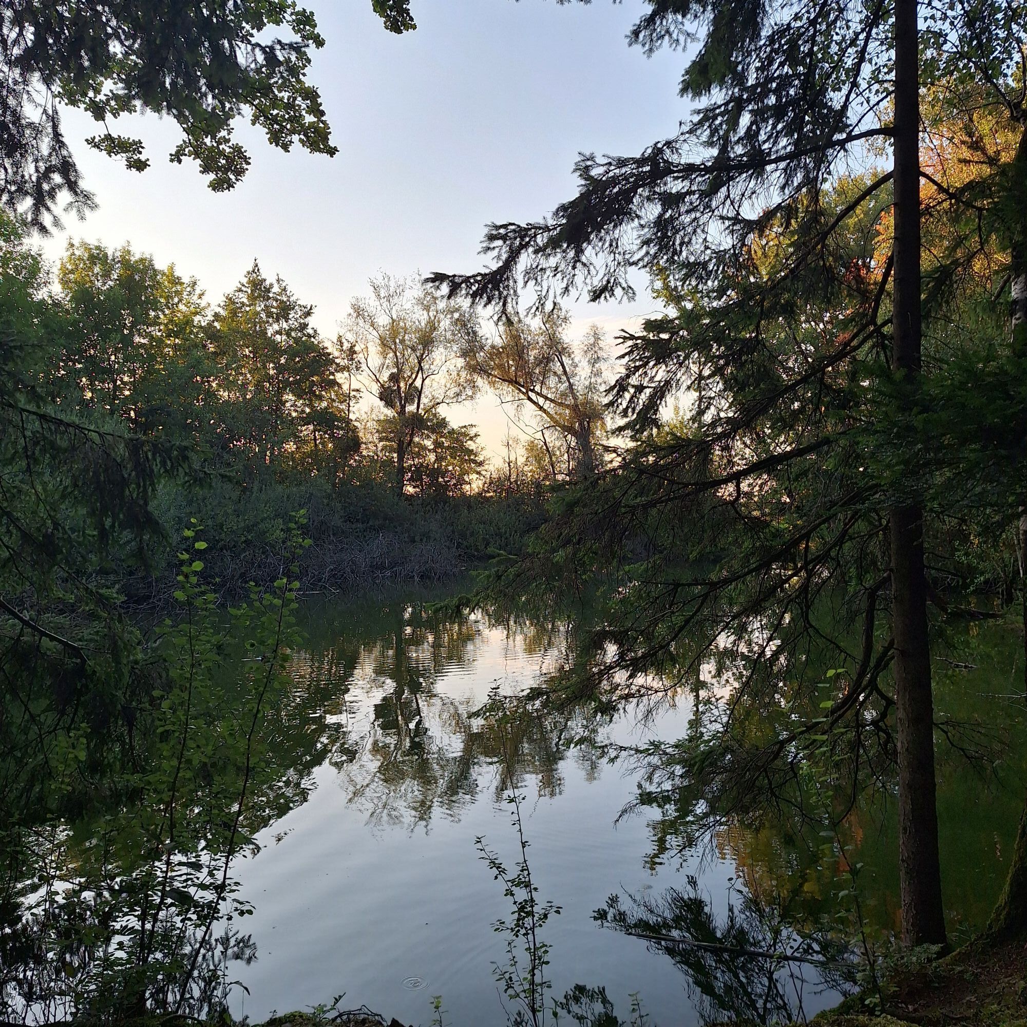
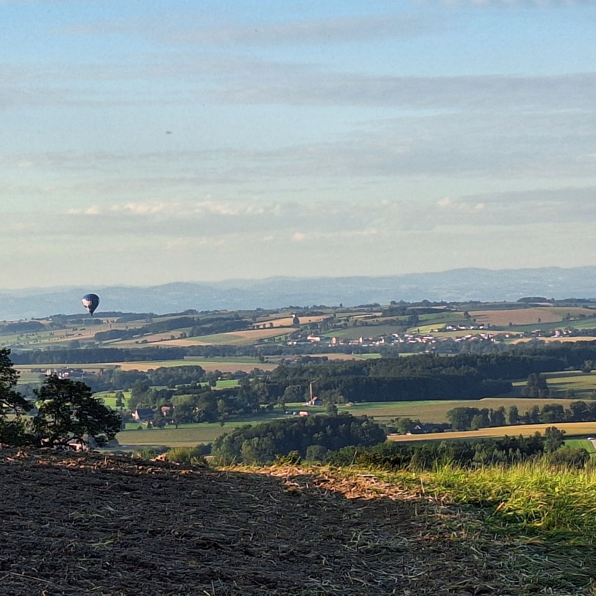
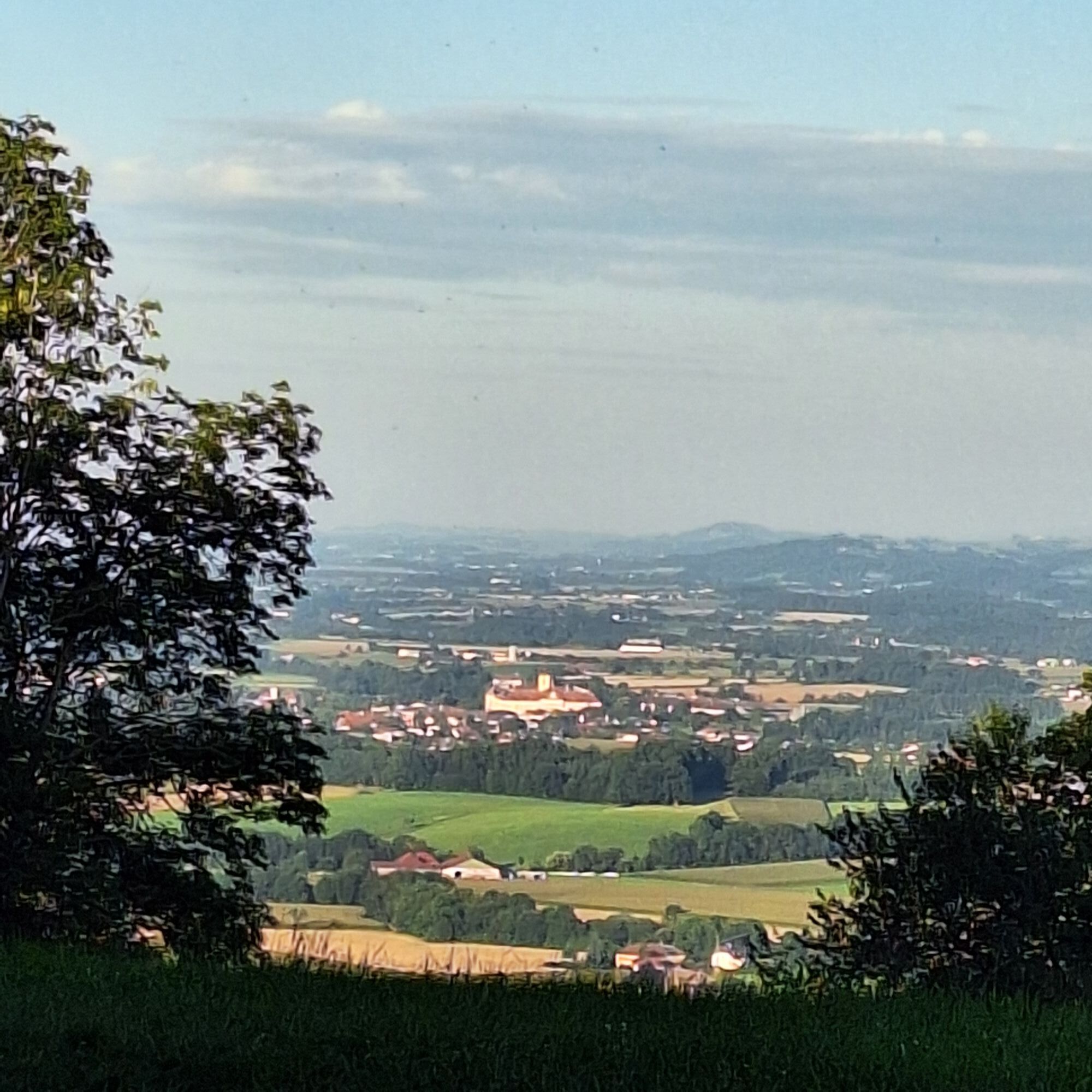
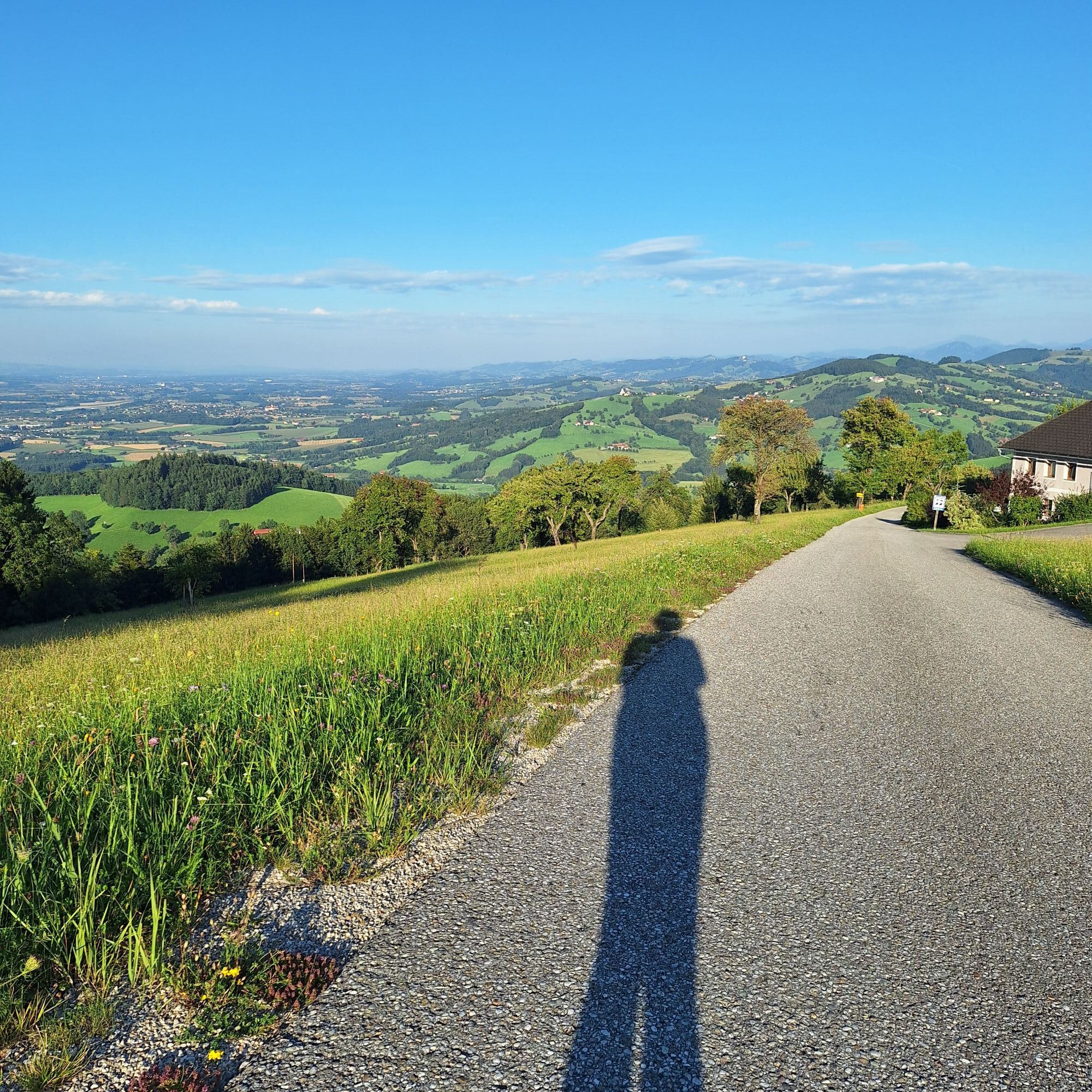
Kamery internetowe z trasy
Popularne wycieczki w okolicy
-
4,3
Freithofberg
średniWędrówka 9,15 km -
4,1
Wallsee Altarmrunde
światłoWędrówka 8,19 km -
4,4
Kleine Gipfelrunde Glasenberg
światłoWędrówka 4,99 km -
3,8
Lindaumauer (1103 m)
Wędrówka 3,40 km -
4,5
Lindaumauer, Maria Neustift
średniWędrówka 5,53 km -
4,9
Dambergwarte
światłoWędrówka 3,28 km -
4,4
Sebaldusweg stage 2 of 4 | Laussa - Maria Neustift
średniTrasa pielgrzymki 20,9 km -
4,5
Sebaldusweg stage 3 of 4 | Maria Neustift - Gaflenz
średniTrasa pielgrzymki 20,4 km -
4,8
L1 Lindaumauer-Trail
średniTrailrunning 8,31 km -
2,9
Rundweg Freithofberg E31
Wędrówka 11,1 km

Wędrówki i tropienie


Nie przegap ofert i inspiracji na następne wakacje
Twój adres e-mail została dodana do listy mailingowej.