


Gösing - Wastl am Wald - Hennesteck - Annaberg
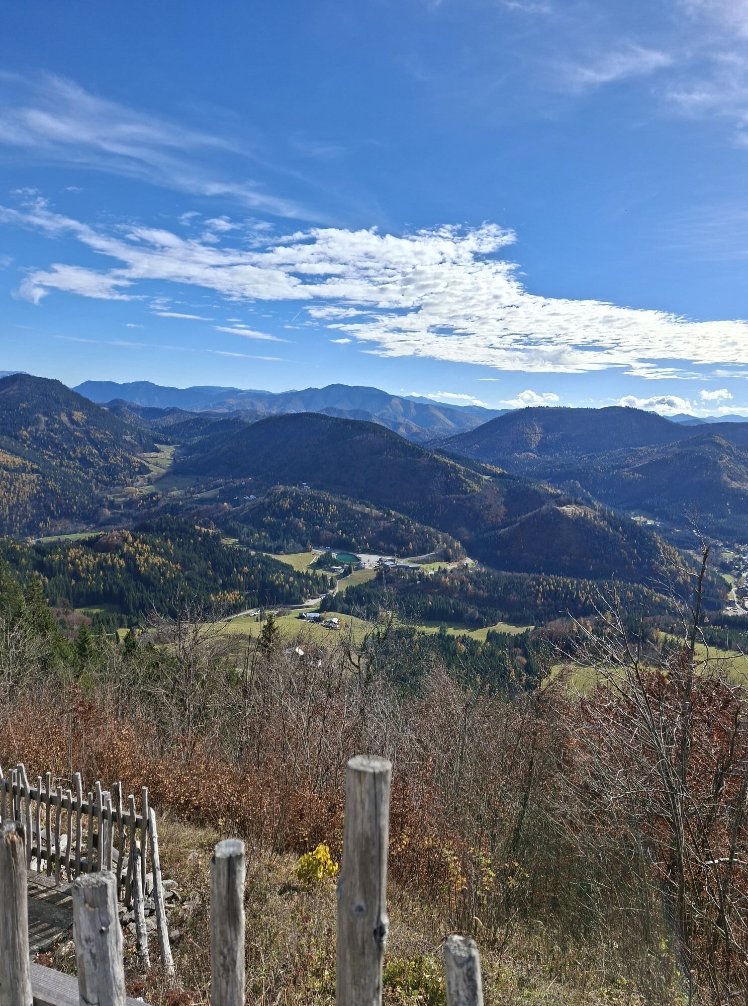
The scenic hike up the Hennesteck offers the perfect panorama, especially for hikers who like to gaze into the distance. A ride on the mountain route of the Mariazell Railway rounds off the experience.

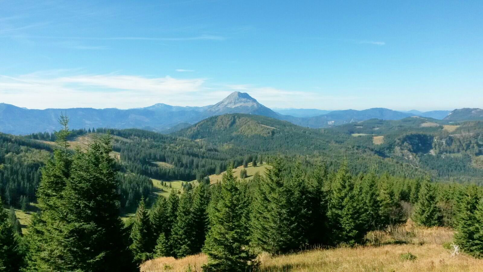
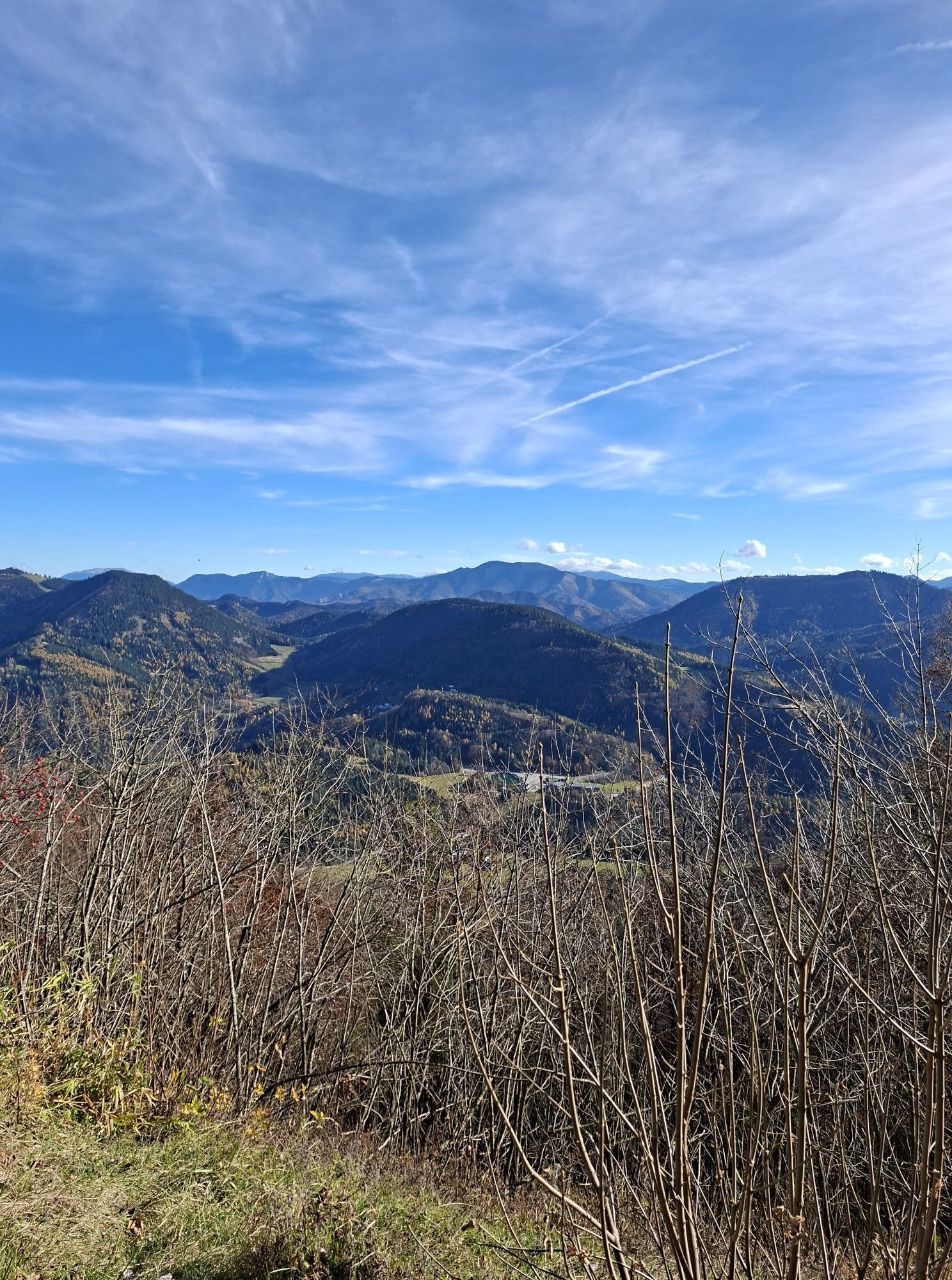
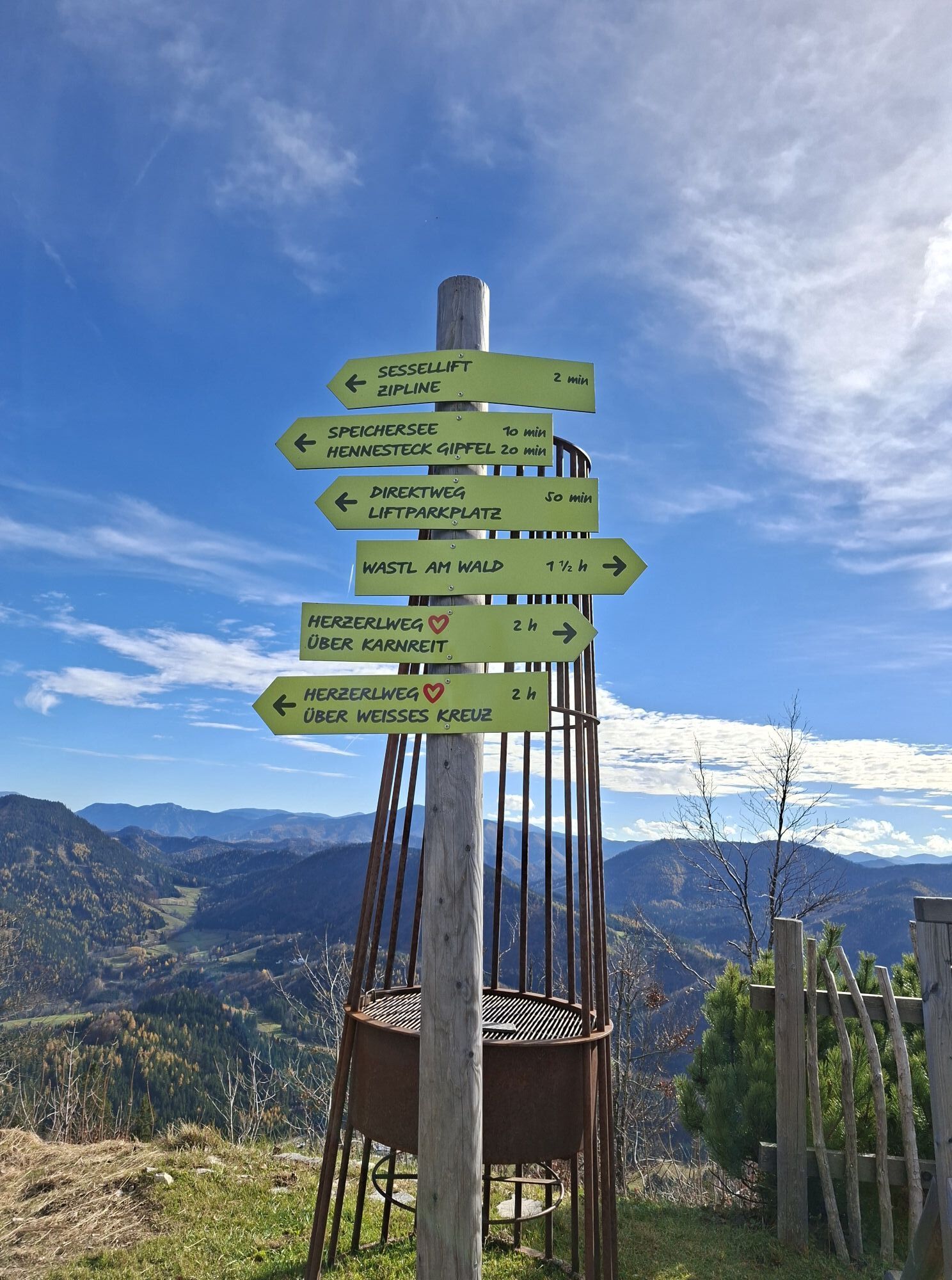
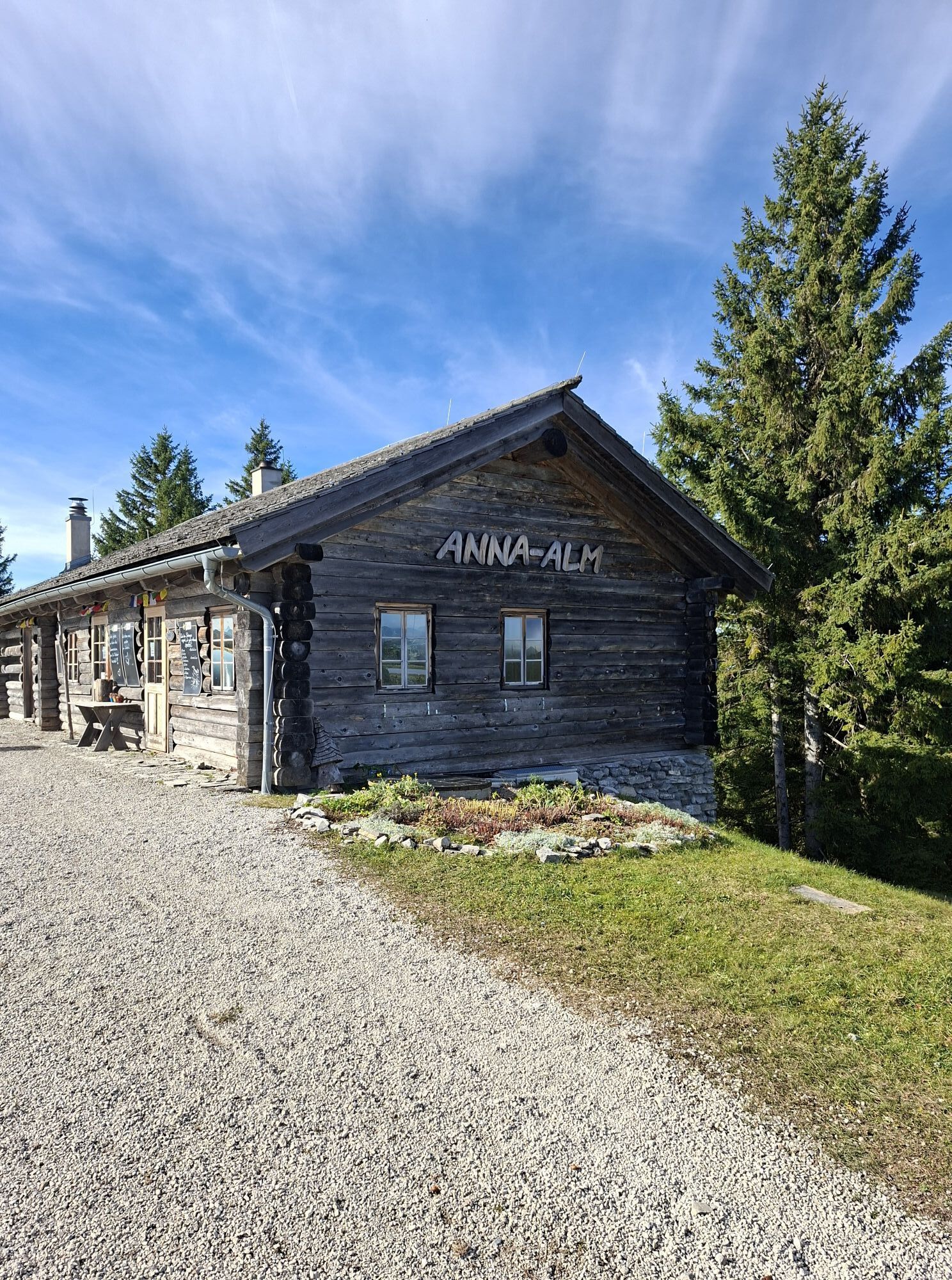
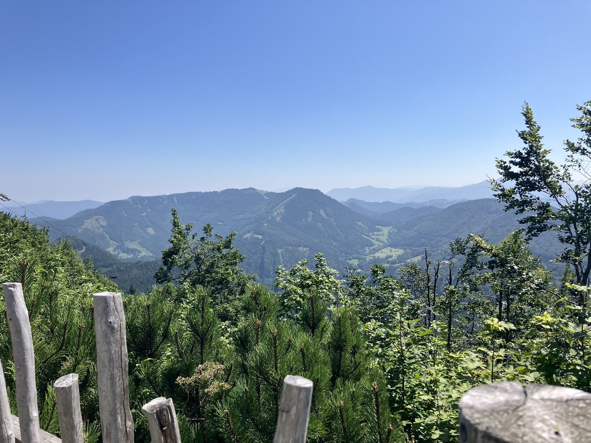
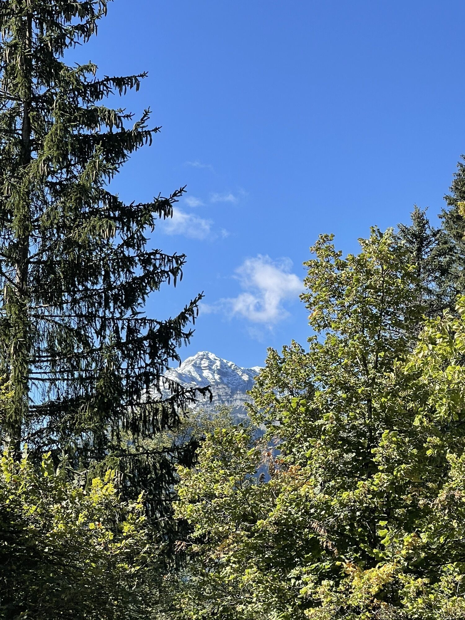
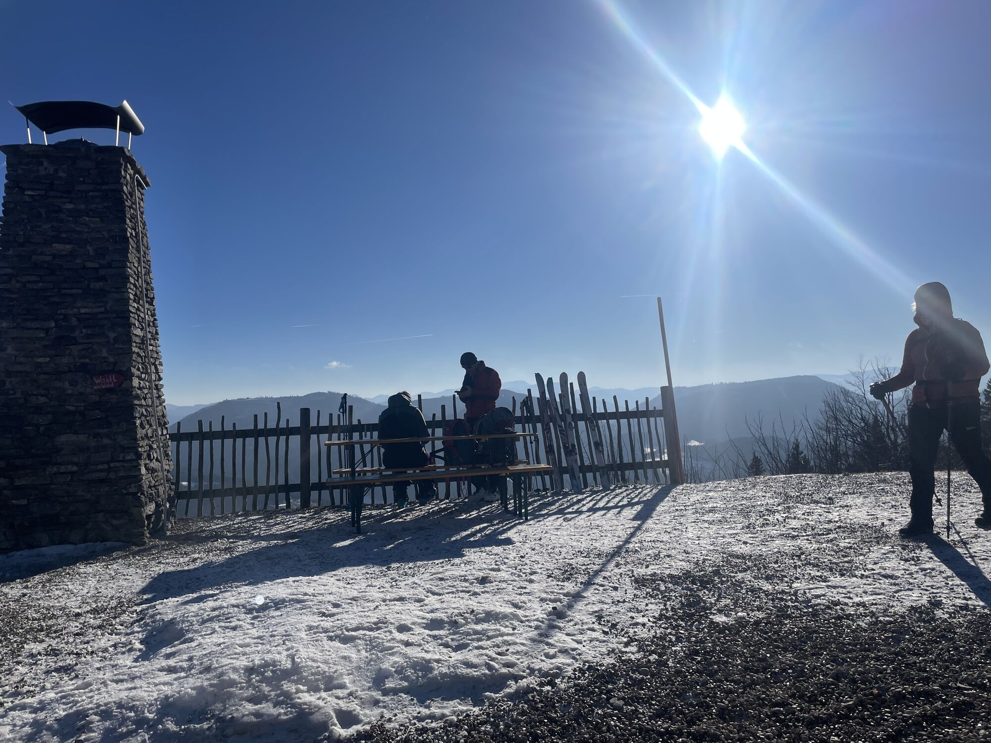
From Gösing, take the road about 1.5 km to the junction of the trail through the "Klamm" (rock steps made of thin-layered Gutensteiner limestone of the Gösing cover schist). Along a gentler ravine next to a spruce forest and further along the road to the guesthouse "Wastl am Wald" (1076 m above sea level). At the next hairpin bend, turn left on a marked path over the forest ridge to the huge karst depression called the "Böden." Pass the "Halbartschlager," a cozily renovated woodcutter's house, and through a forest area to the hollow called "Auf dem Eck." From here continue on the "Herzerlweg" over cleared areas uphill toward Hennesteck. The path steadily ascends to Anna-Alm. A stop at the hut is highly recommended to enjoy homemade delicacies while taking in the breathtaking view of the Alpine foothills. Those wanting to go even higher can, passing by the reservoir, still climb the summit of Hennesteck (about 30 minutes extra).
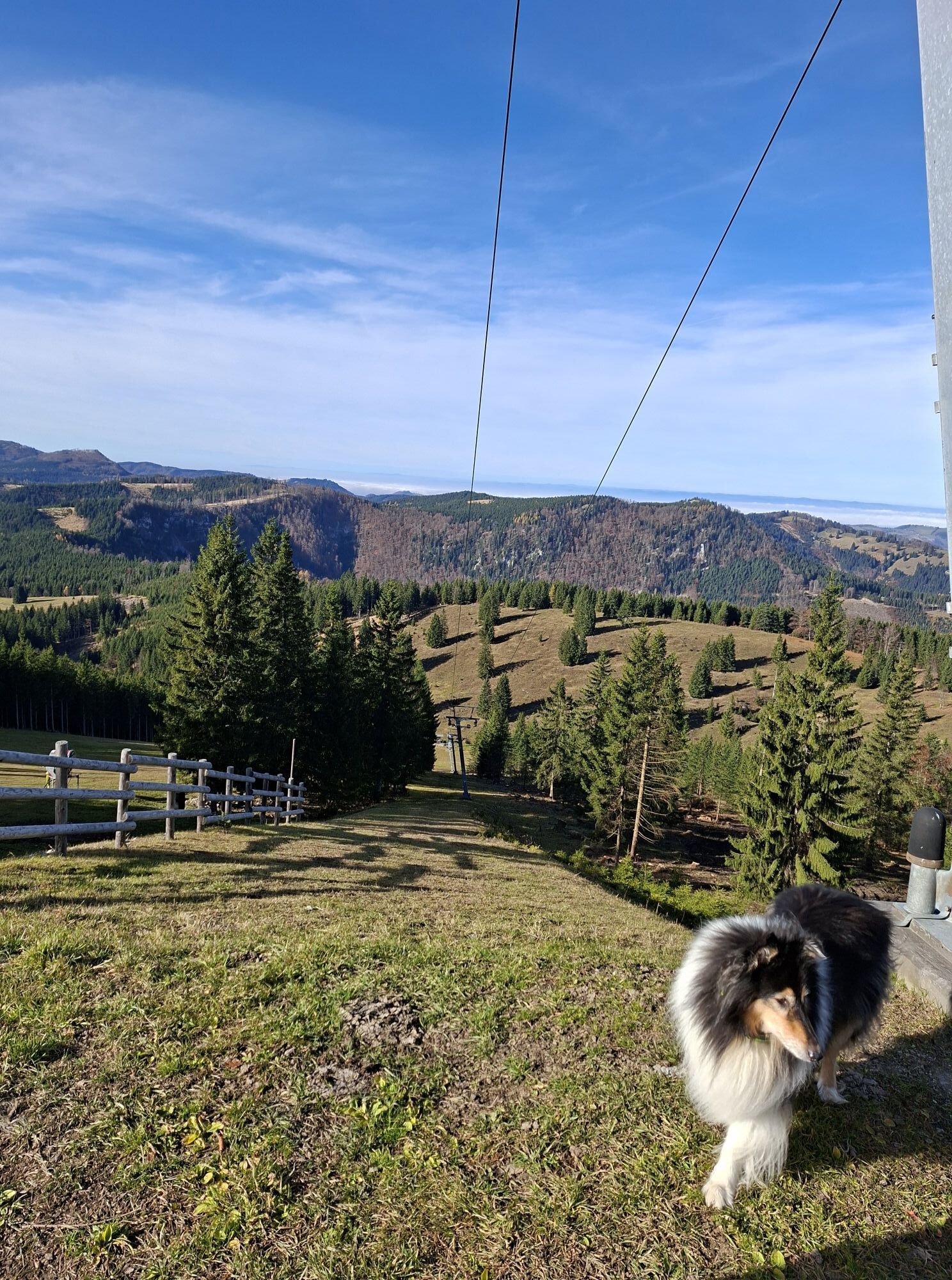
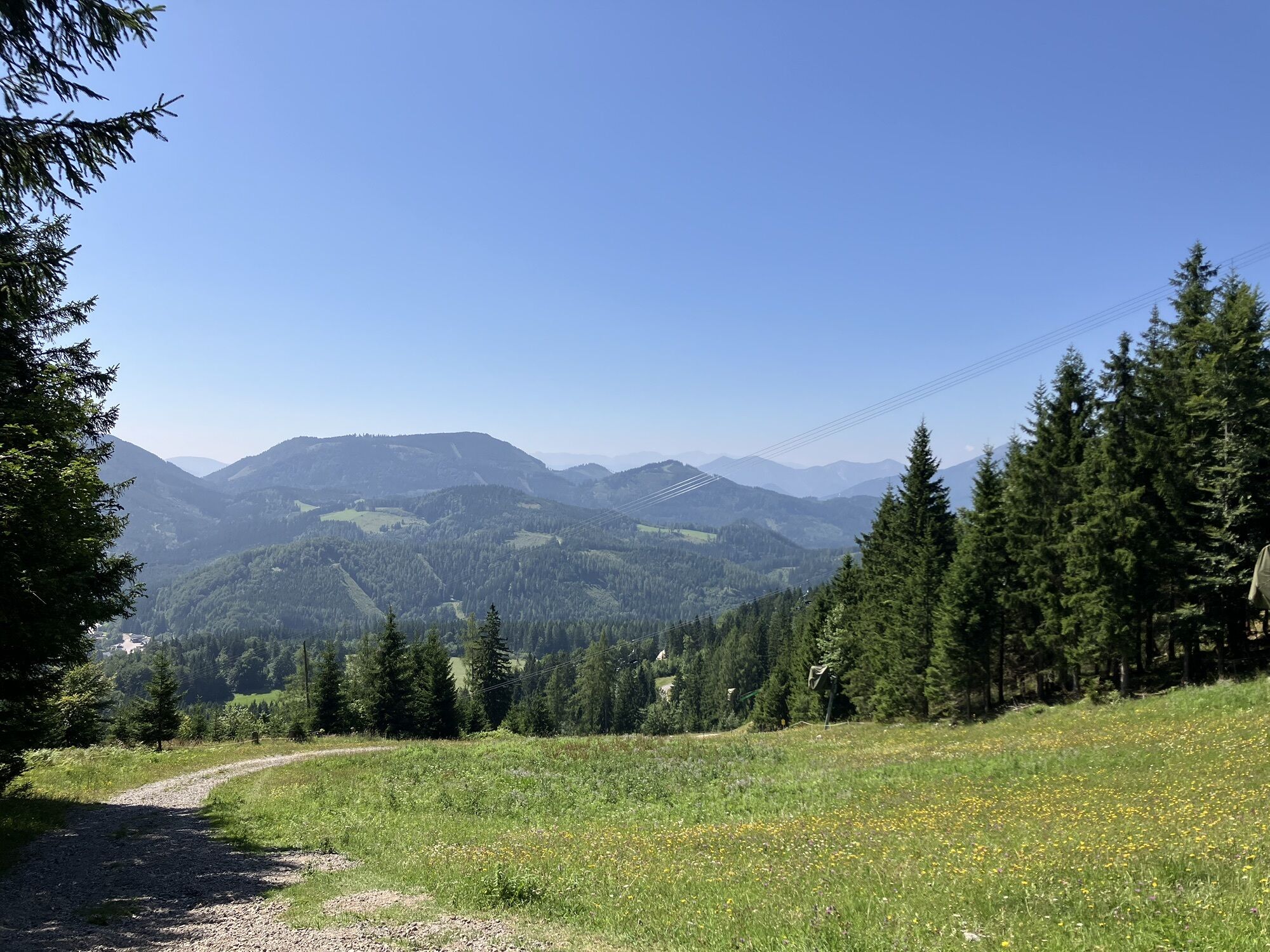
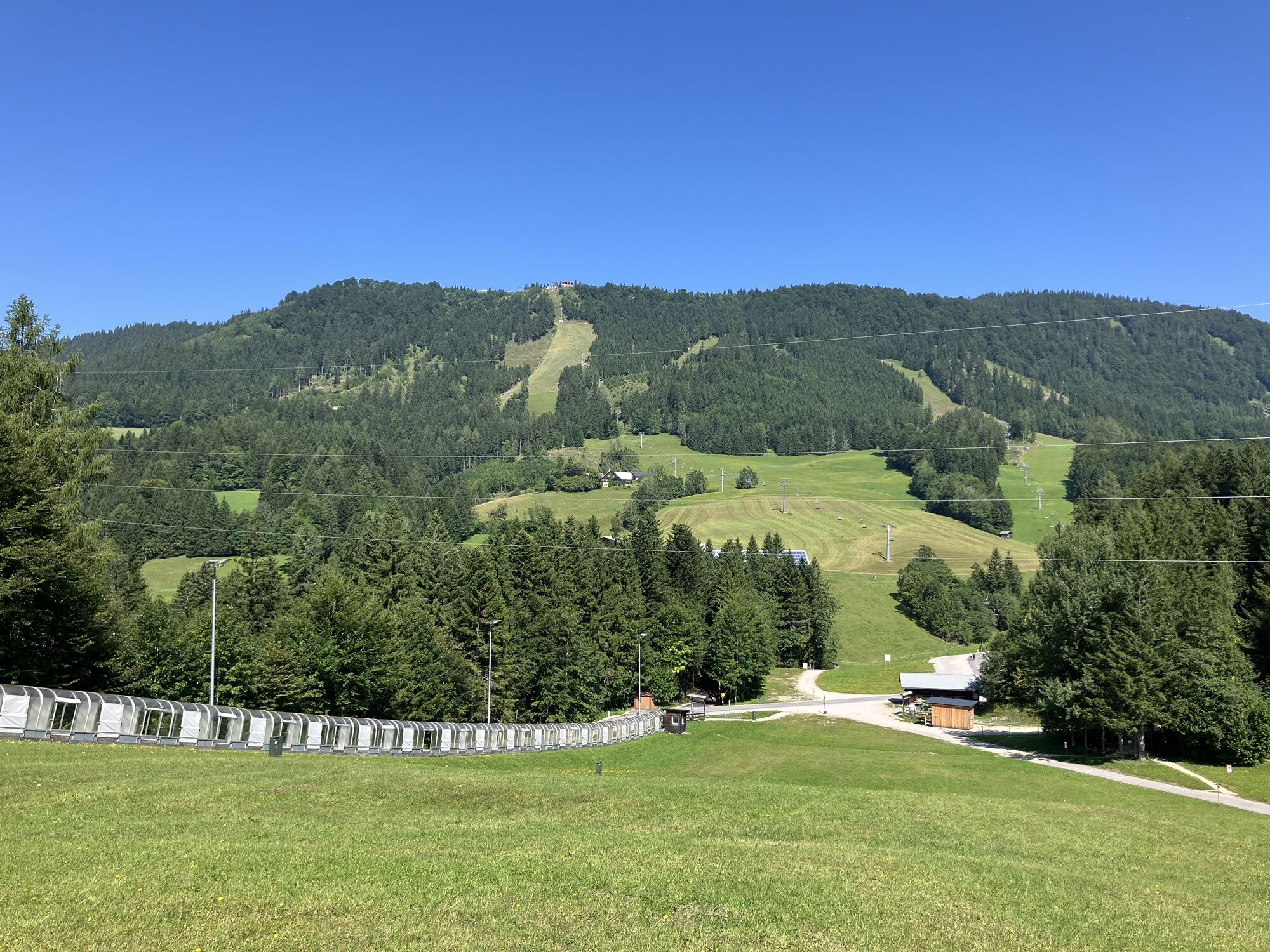
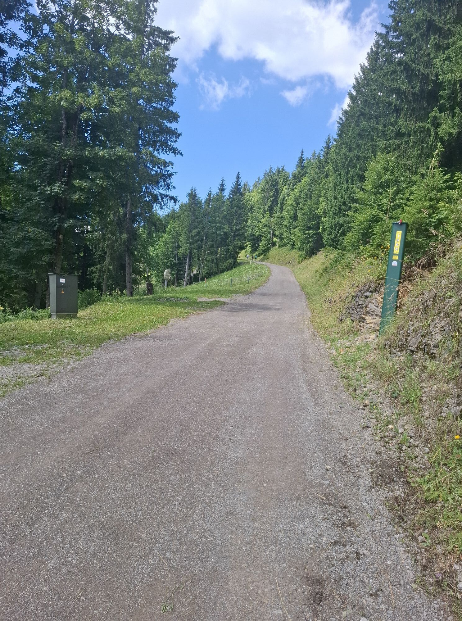
Already before the reservoir, the yellow-marked path leads back down into the valley. You cross the ski slope and walk a bit along the ski trail before descending right on a forest path and encountering an asphalt road at the farm "Stadlerhof." Here, turn briefly left and then immediately right downward into the "Tannbachgraben." Cross the federal road, pass the JUFA Hotel, or climb straight up the practice slope to reach the parking lot of the Annaberg lifts.
By Postbus (stop Reidlkehre), return to Reith station, and from there, take the Mariazellerbahn along the mountain route back to Gösing (check the timetable).
Accessible by Postbus from Annaberg to Reith and by Mariazellerbahn to Gösing.
Gösing Station
Tourism Information Annaberg, Tel. 02728/77 000
Annarotte 14, 3222 Annaberg
Ride the Mariazellerbahn from Reith station to Gösing. Take the Postbus (169) from Reidlkehre to Reith station – check the timetable.
Popularne wycieczki w okolicy
- 4,8
Gemeindealpe
średniWędrówka 13,5 km - 5,0
Von Lackenhof auf den Ötscher
światłoWędrówka 5,29 km - 4,9
Lassingfall->Ötscherhias->Erlaufklause
średniWędrówka 8,72 km - 4,9
Lackenhof ÖTSCHER Rauer Kamm 19.10.2014
ciężkiWędrówka 14,1 km - 4,8
Naturpark Ötscher-Tormäuer Wienerbruck
światłoWędrówka 6,06 km - 4,7
Türnitz - Eisenstein Türnitz, Niederösterreich
średniWędrówka 15,5 km - 4,7
Trefflingfall über Hochbärneckhütte
średniWędrówka 12,2 km - 4,7
Erlaufsee-Rundweg
światłoWędrówka 5,37 km - 4,6
Eisenstein Rundweg von Türnitz-Knedelhof
światłoWędrówka 10,2 km - 4,6
Ötschergräben Runde über Wienerbruck, Josefsberg und Erlaufsee
światłoWędrówka 16,8 km
Wędrówki i tropienie


Nie przegap ofert i inspiracji na następne wakacje
Twój adres e-mail została dodana do listy mailingowej.