







DUR V3: Gerolding - Hohenegg
This DUR starts at the village square in Gerolding and leads via Nölling to the "Hohen Kreuz" (High Cross) from where you have a magnificent panoramic view over the Alpine foothills. Via the Luck'n we...
<p>This DUR starts at the village square in Gerolding and leads via Nölling to the "Hohen Kreuz" (High Cross) from where you have a magnificent panoramic view over the Alpine foothills. Via the Luck'n we reach the Hohenegg castle ruins after a short ascent. This connecting route can be ideally combined with DUR 9, DUR 5, and DUR 6.</p>

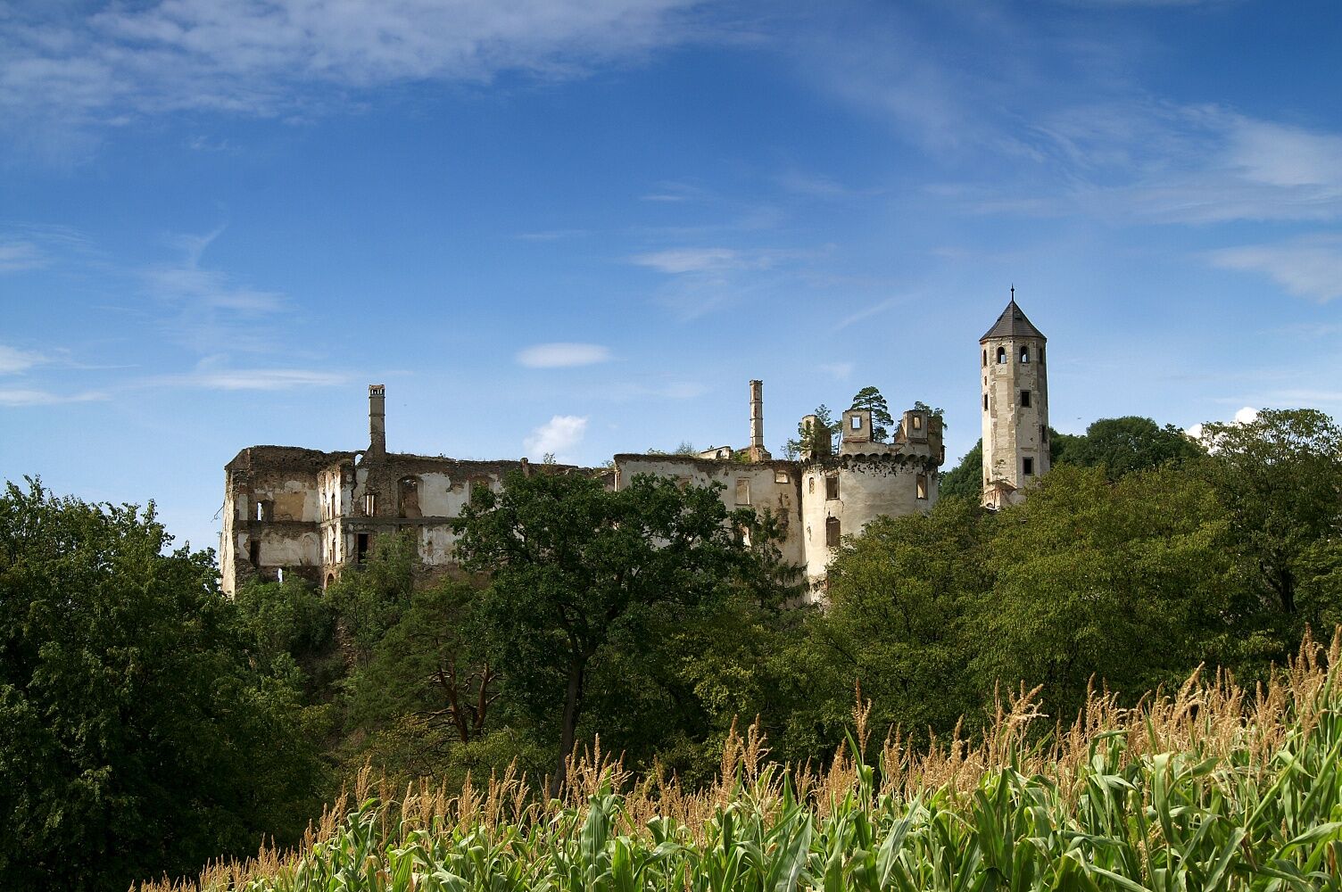
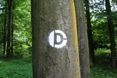

<p>From the village square in Gerolding, we hike to Nölling. Passing by the inn "Hirschenwirt," we turn left and follow the path to the "Hohen Kreuz". Here, during a short break, we can enjoy a magnificent panoramic view over the Alpine foothills. Arriving in Häusling, the next village along the route, we turn right and walk a bit along the main road until we turn left towards Luck'n. We follow the path and soon enter the forest again. At the next two crossing paths, we keep right and can soon catch a view of our later goal, the Hohenegg castle ruins.</p>
<p>Sturdy hiking boots, rain protection, sufficient drinks and food, as well as a Dunkelsteinerwald hiking map.</p><p>WARNING: There are NO catering facilities along the route.</p>
<p>Gerolding: A1 exit Loodorf, continue to Loosdorf and on L106 towards Aggsbach-Dorf. Turn left in Umbach onto L5355 to Gerolding.</p><p>Hohenegg: A1 exit Loosdorf, continue on B1 to Mitterau, turn left towards Hafnerbach and follow the signs to the Hohenegg castle ruins.</p>
<p>Gerolding: Postbus L1536 to Loosdorf</p><p>Hohenegg: Hafnerbach stop - Postbus line 1534 to and from St. Pölten</p>
<p>Free parking is available at the village square in Gerolding and at the Hohenegg castle ruins.</p>
Verantwortlicher für den Inhalt dieser Tour
Mostviertel
Letzte Aktualisierung: 07.10.2025
Book tip: In the Realm of the Unicorn - Fairy Tales and Legends from the Dunkelsteinerwald
Available at www.dunkelsteinerwaldrunde.at.
Popularne wycieczki w okolicy
-
4,4
Welterbesteig Wachau 03: Weißenkirchen-Spitz
światłodługodystansowy szlak pieszy 10,4 km -
4,7
Wachau: Seekopf - Hirschwand
średniWędrówka 10,4 km -
4,5
Maria Langegg - Rote Wand - Hoher Stein - Kastlkreuz
średniWędrówka 11,4 km -
4,5
Seekopf und Hirschwand
średniWędrówka 2,83 km -
3,9
Spitz a. d. Donau Jauerling Schwallenbach retour 16.04.2016
średniWędrówka 20 km -
3,9
Spitz - Buchberg - Runde
średniWędrówka 9,60 km -
4,5
Welterbesteig Wachau 08: Emmersdorf-Melk
światłodługodystansowy szlak pieszy 9,90 km -
4,5
AGGSTEIN Ruine, Aggstein, Druidentürme und zurück 20241019
średniWędrówka 7,50 km -
4,0
Rote Wand und Hoher Stein
średniWędrówka 7,80 km -
4,3
Welterbesteig Wachau 07: Aggsbach Markt-Emmersdorf (Naturpark Jauerling-Wachau)
światłodługodystansowy szlak pieszy 14,6 km

Wędrówki i tropienie


Nie przegap ofert i inspiracji na następne wakacje
Twój adres e-mail została dodana do listy mailingowej.





