







Blindenmarkt Kneipp hiking route
Easy, well-signposted hike to the water basins for Kneipp treatments with an informative instruction panel in Harland. A shady resting spot and a well-kept herb garden invite you to linger. The circular...
Easy, well-signposted hike to the water basins for Kneipp treatments with an informative instruction panel in Harland. A shady resting spot and a well-kept herb garden invite you to linger. The circular route then leads back via Prasdorf to the starting point.

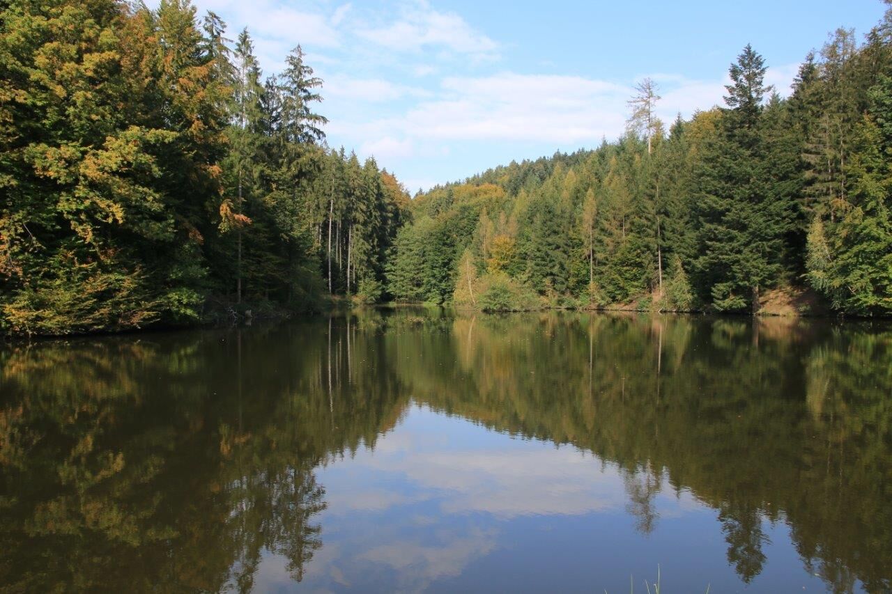
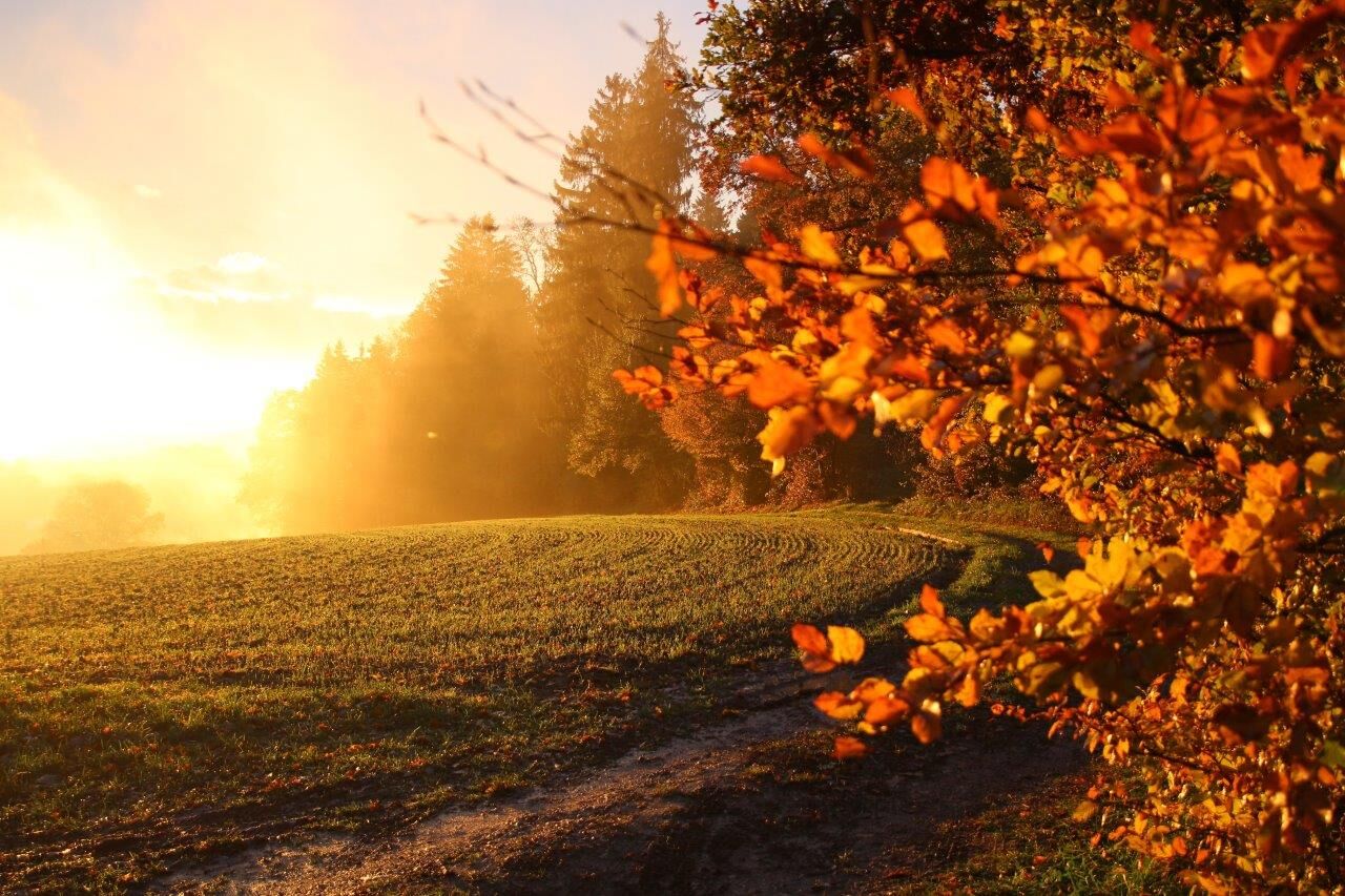
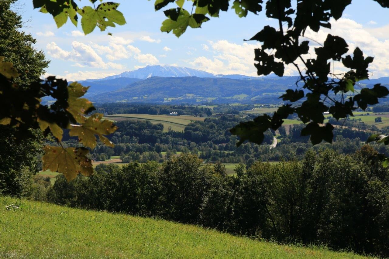

The Blindenmarkt Kneipp hiking route starts at the local Raiffeisenbank and leads us through the town center towards Kottingburgstall. At the Place of Human Rights, the path goes left up into the forest and along the Burgstaller Kogel to the Kneipp facility in Harland. Here we have the opportunity to rest at a small herb garden managed by the Kneipp local club and a cozy resting place. The hand and foot basins of the lovingly maintained Kneipp facility can also be used for water treatments (guided by signage). From the Kneipp site, the hike continues via Fürholz and past the Prasdorf sand caves back to Blindenmarkt.
Trail marking: blue-white, No. "6"
Tak
Sturdy footwear, possibly a small towel for drying after the Kneipp water treading.
Motorway junction "Amstetten Ost," follow signs towards Blindenmarkt town center.
Take the Westbahn line to the Blindenmarkt stop or the local bus to the Blindenmarkt Ortsmitte stop.
Large Park & Ride parking lot at Blindenmarkt train station near the town center.



Popularne wycieczki w okolicy
-
4,7
Waldhausen: Outlook circuit
średniWędrówka 14,0 km -
4,9
Stillensteinklamm Rundweg über Struden
światłoWędrówka 12,6 km -
4,7
Stillensteinklamm, Grein
światłoWędrówka 10,4 km -
4,5
Durch die Steinwandklamm von Maria Taferl aus
światłoWędrówka 8,26 km -
4,8
Erlaufschlucht
światłoCanyoning 4,58 km -
4,5
Purgstall Route 3 entlang der Erlauf und Umgebung
światłoWędrówka 11,6 km -
4,4
Gobelwarte - Grein, Oberösterreich
średniWędrówka 5,41 km -
4,4
Gobelwarte-Runde, Grein
średniWędrówka 8 km -
4,6
Brandstetterkogel über Matras Steig
światłoWędrówka 6,28 km -
4,9
Reidlingberg - Gruber Kreuz - Hochkogel
światłoWędrówka 10,0 km
Wędrówki i tropienie


Nie przegap ofert i inspiracji na następne wakacje
Twój adres e-mail została dodana do listy mailingowej.





