


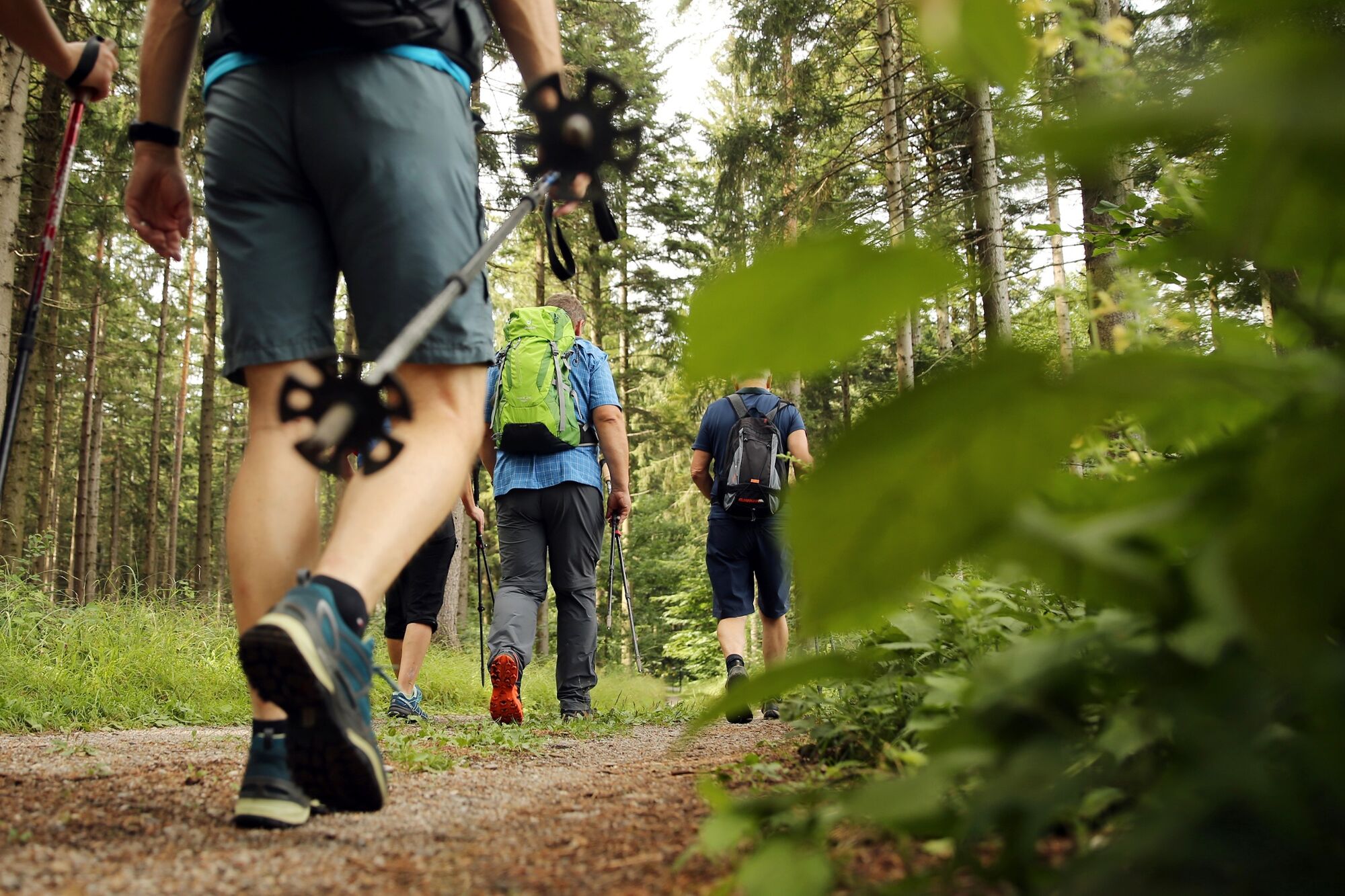
Hiking along the Fronberg - Luft - Route 5/1
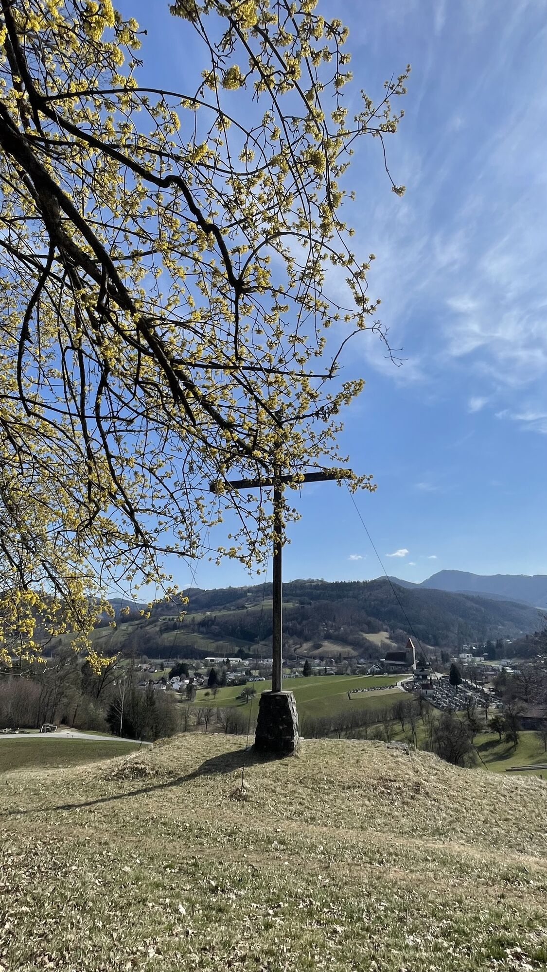
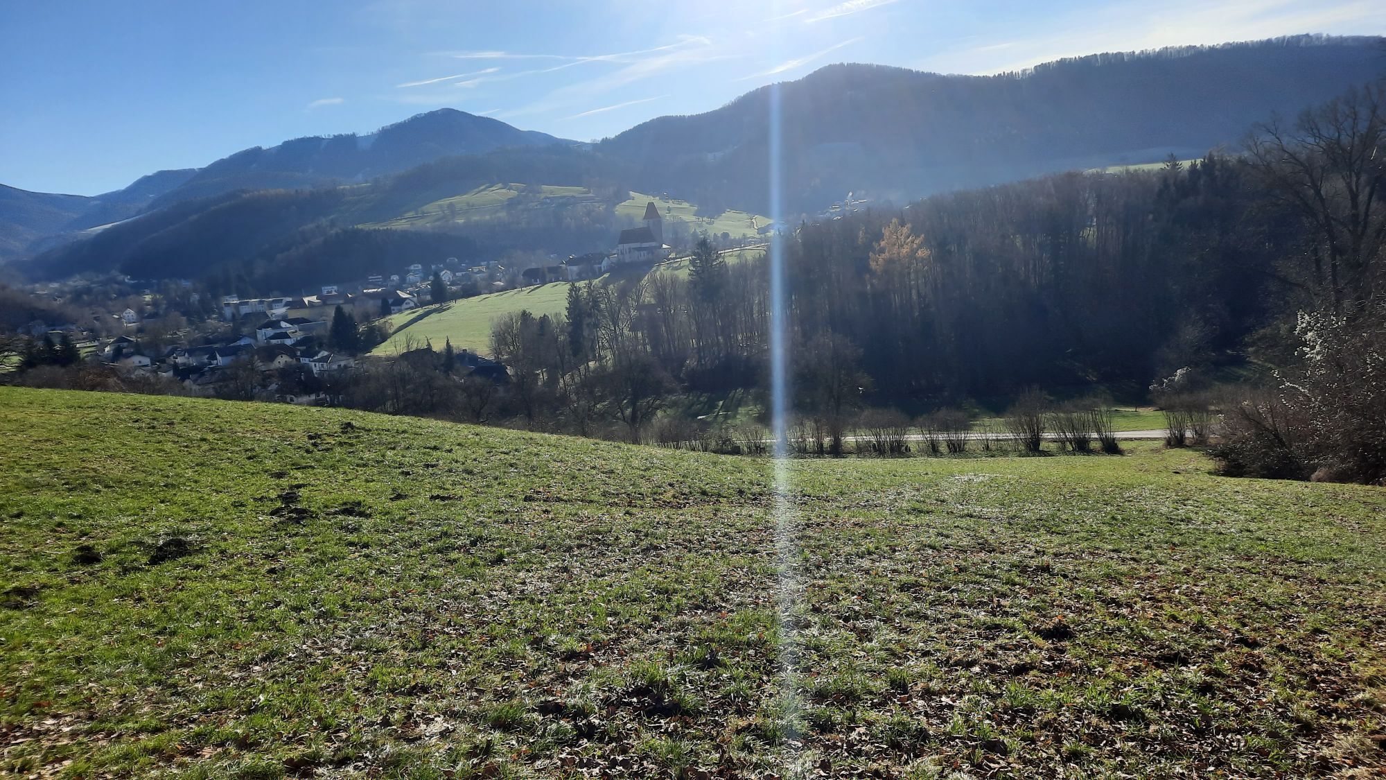
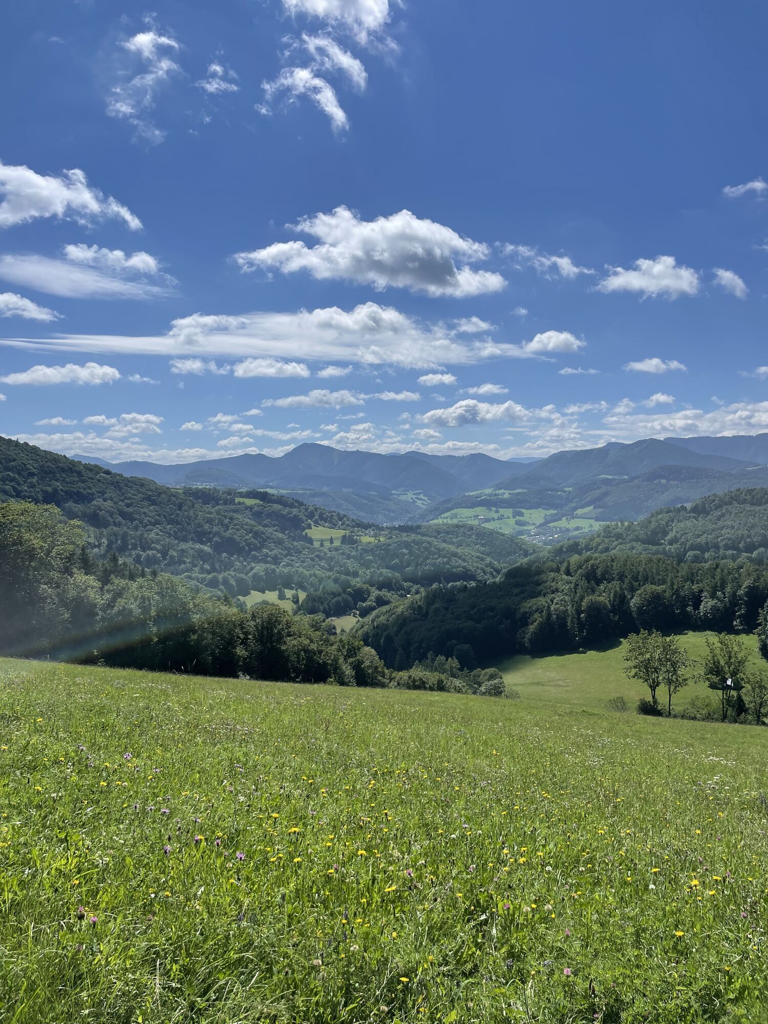
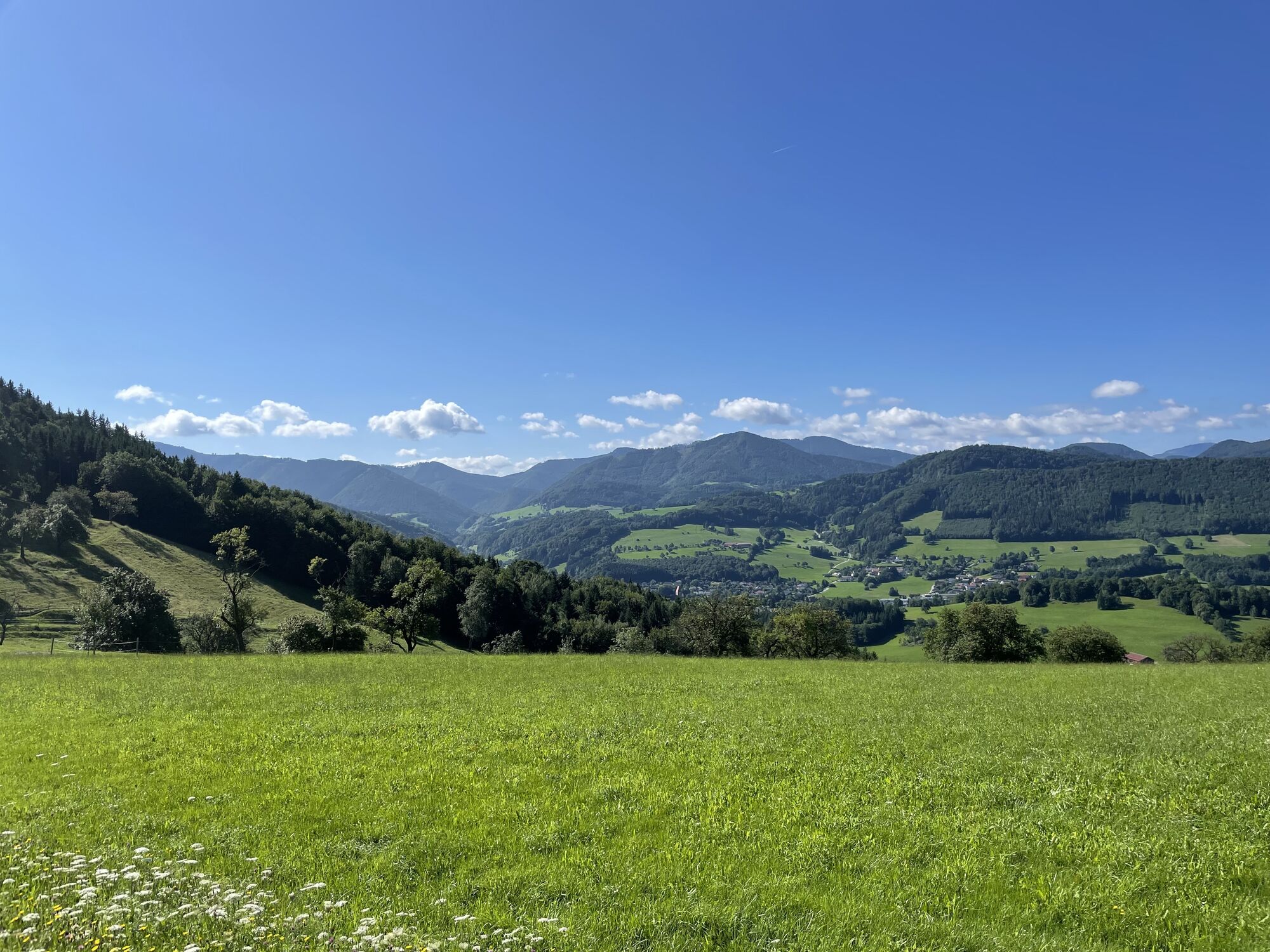
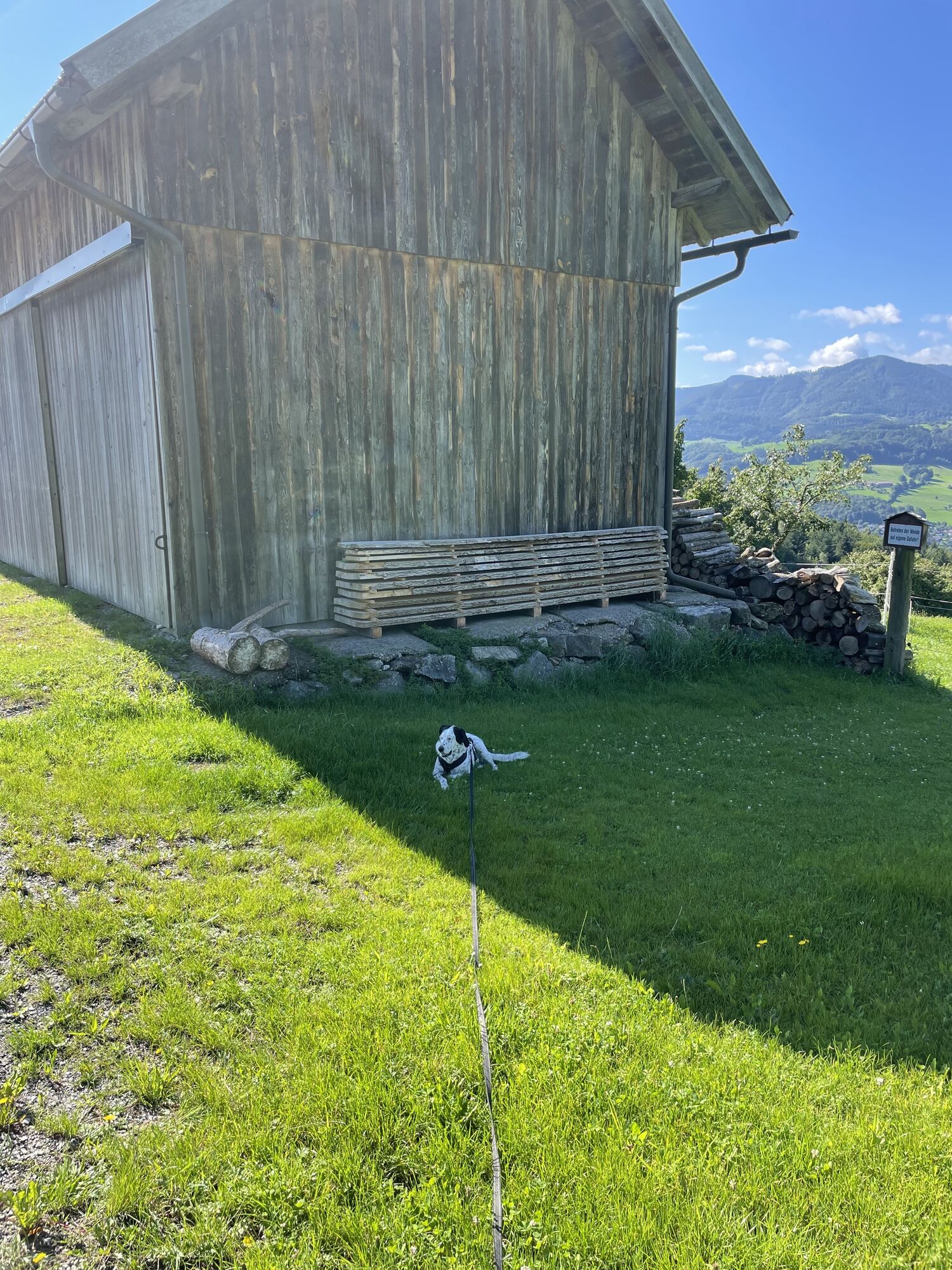
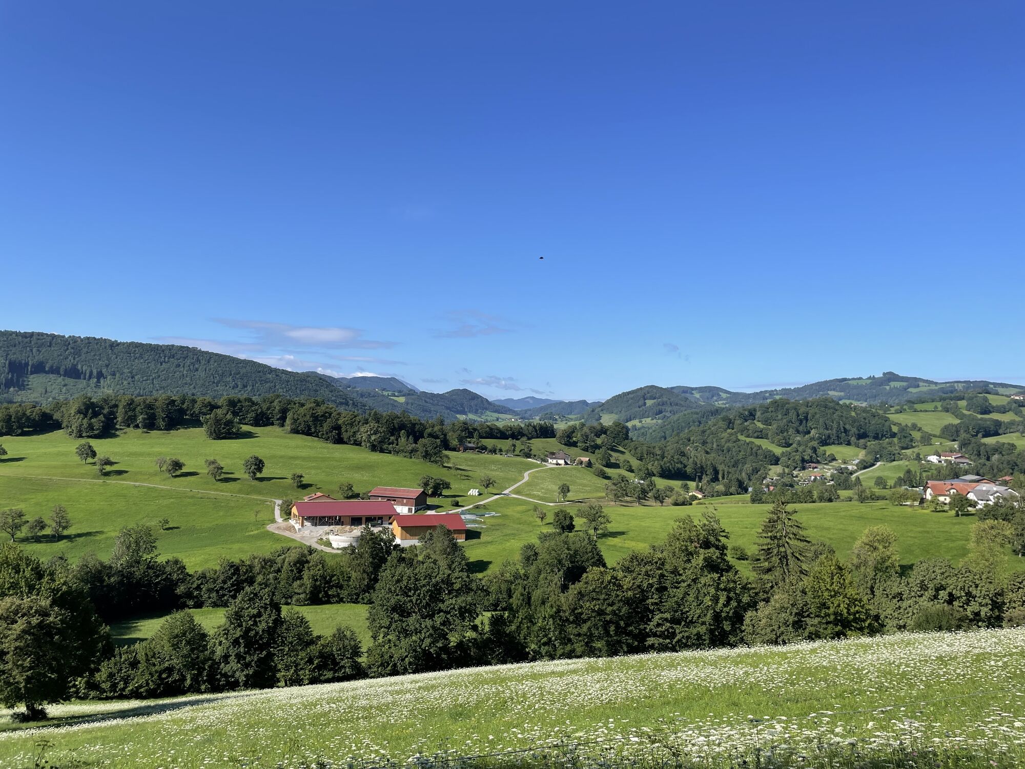

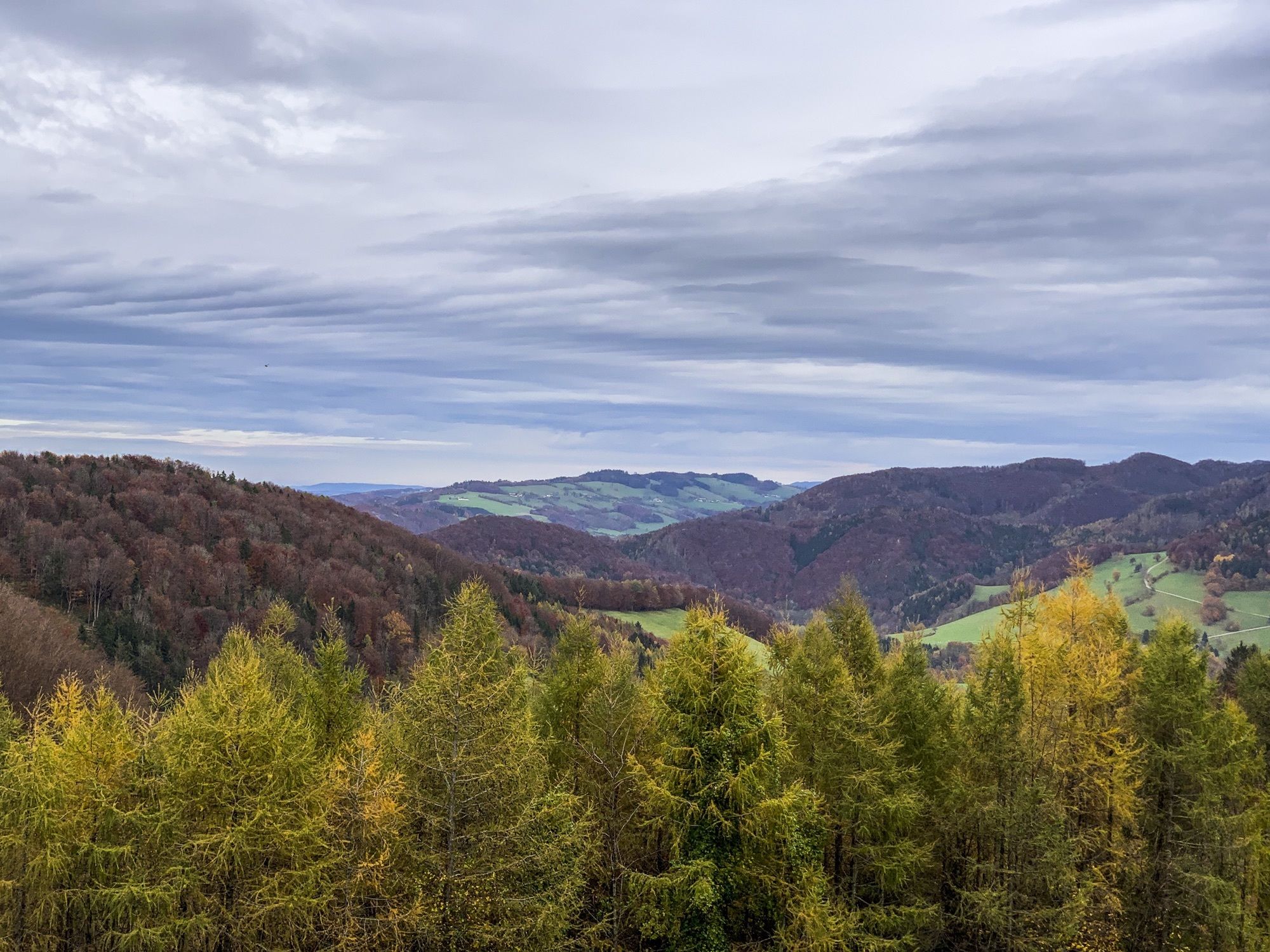
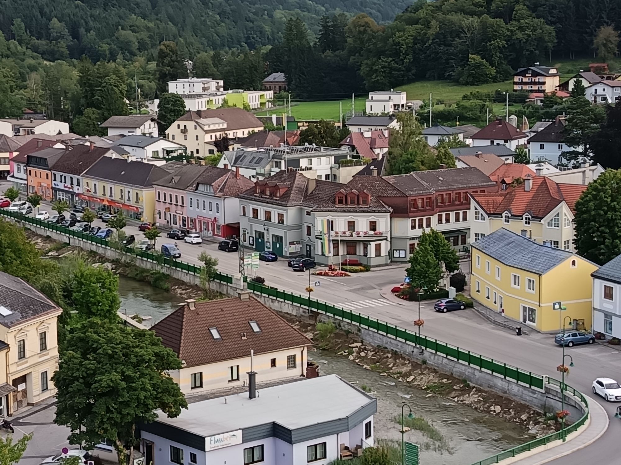
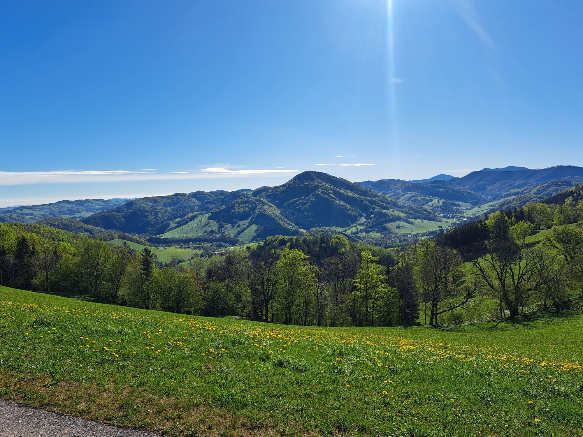
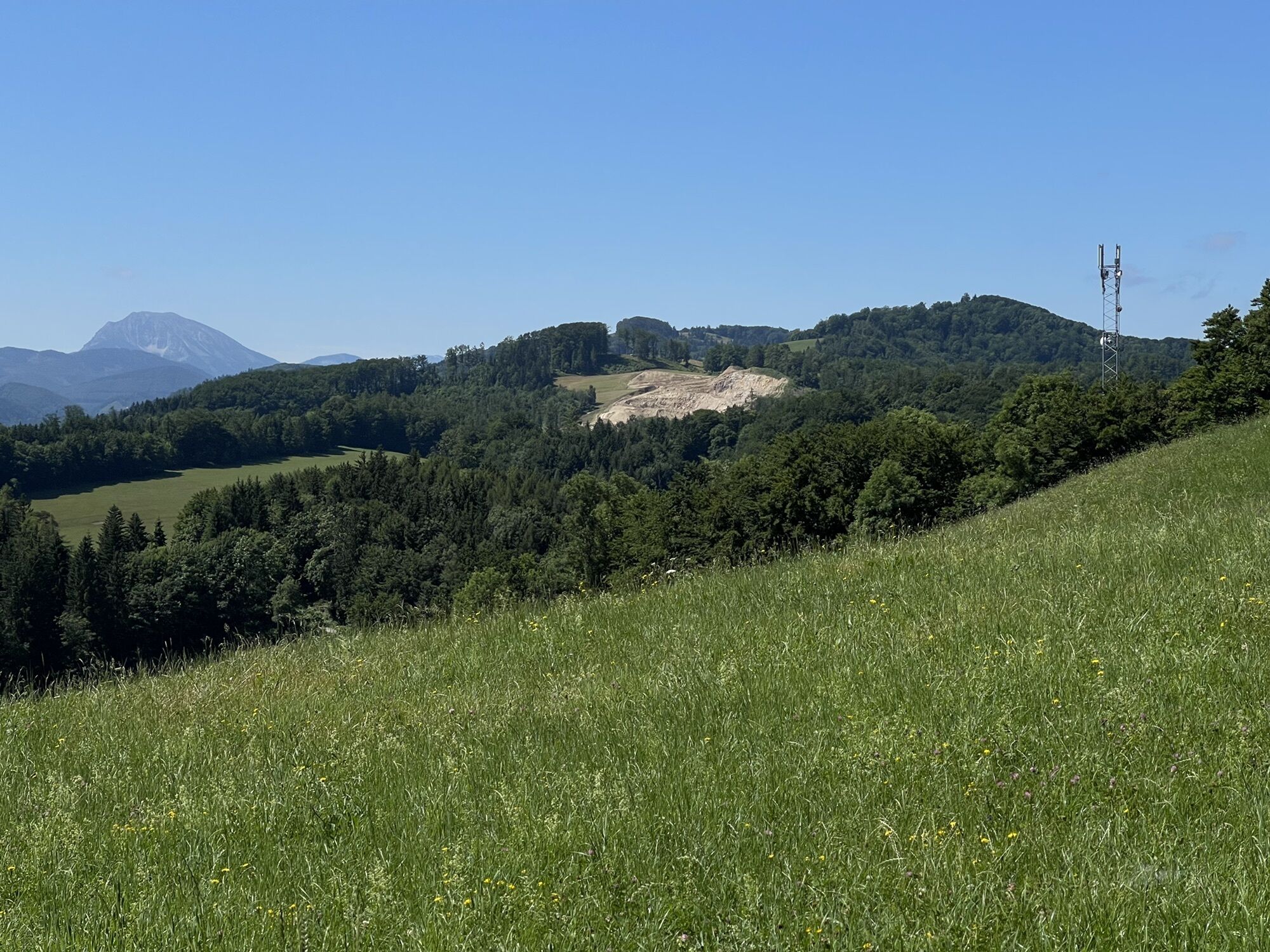
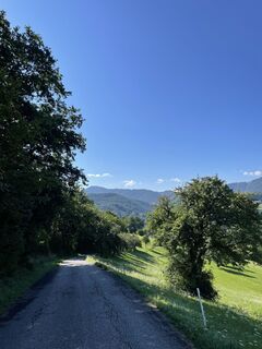
The route offers a scenic hike with the two well-known elevations "Fronberg" and "Luft". Ideally with sunshine and little fog, the route offers a beautiful view over Kirchberg.

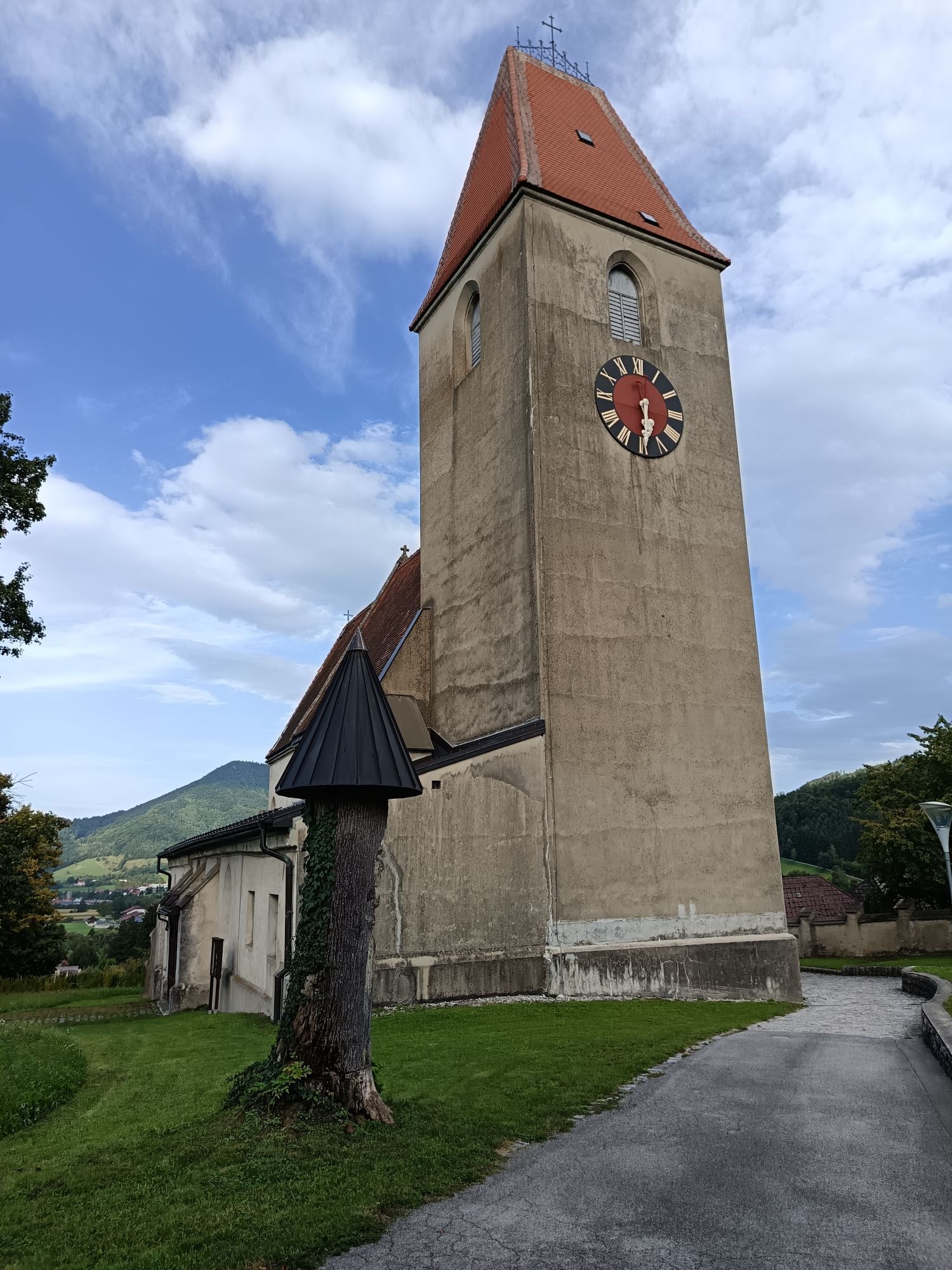
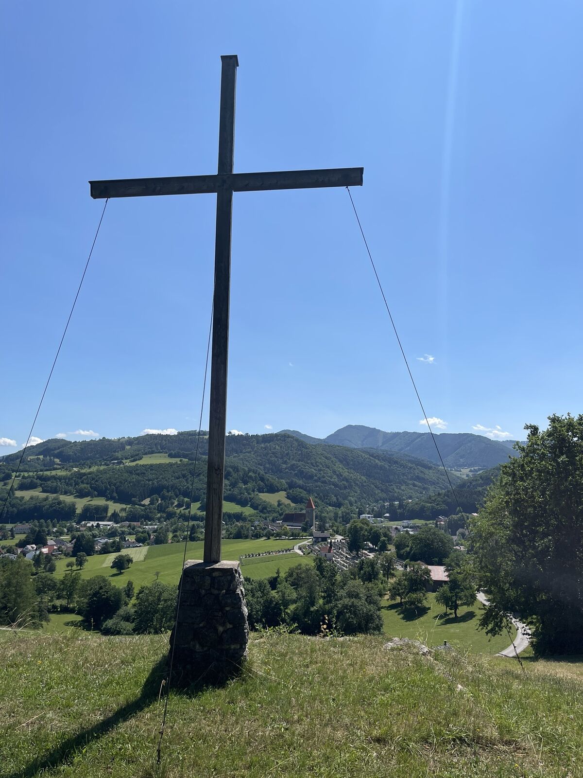
Train station – Bahnhofstraße – School footbridge over the Pielach – Oggersheimer Promenade path – Stolzgasse – GW Laimpoden – Fronberg – Gaisberg – Hochbrand – Auf der Luft – Filian Chapel – GW Trimmel – Marbach – Hieblkreuz – Parish church – Kirchengasse – Town centre.
Sturdy footwear, supplies
On the B39 we drive towards Mariazell and turn left in the town of Kirchberg an der Pielach following the signs for "Train station". Then we are immediately in front of the train station.
For the journey, the Mariazell railway is recommended, as the starting point is Kirchberg an der Pielach train station. For this, take the Mariazell railway towards Mariazell and get off at the Kirchberg an der Pielach stop.
Train station car park

Popularne wycieczki w okolicy
-
4,9
Hohenstein von Sois
średniWędrówka 12,0 km -
4,7
Türnitz - Eisenstein Türnitz, Niederösterreich
średniWędrówka 15,5 km -
4,6
Eisenstein Rundweg von Türnitz-Knedelhof
światłoWędrówka 10,2 km -
4,4
Hohenstein 1195m - Sois im Pielachtal
światłoWędrówka 10,6 km -
4,4
Kaiserkogel mit Start und Ziel in Eschenau
światłoWędrówka 10,2 km -
4,3
Grüntalkogelhütte
światłoWędrówka 5,11 km -
4,7
Kaiserkogel
światłoWędrówka 6,03 km -
4,8
Schrambach Hohenstein Himmel Schrammbach 06.08.2016
średniWędrówka 17 km -
4,3
Lorenzipechkogel - Schneerosenwarte
średniWędrówka 10,2 km -
4,0
Geisbühel-Runde
światłoWędrówka 13 km
Wędrówki i tropienie


Nie przegap ofert i inspiracji na następne wakacje
Twój adres e-mail została dodana do listy mailingowej.