







2-day summit route starting from Mitterbach


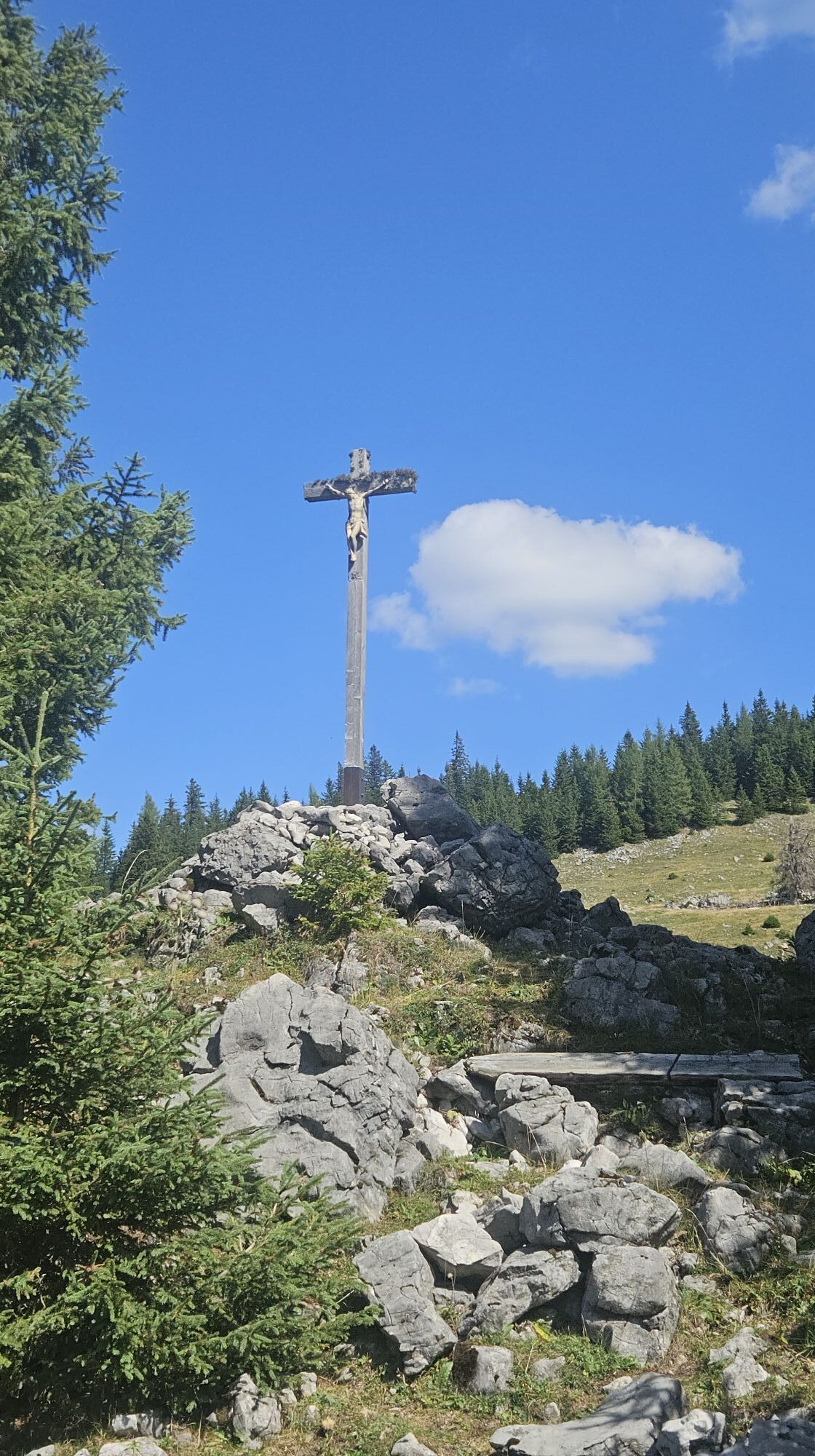
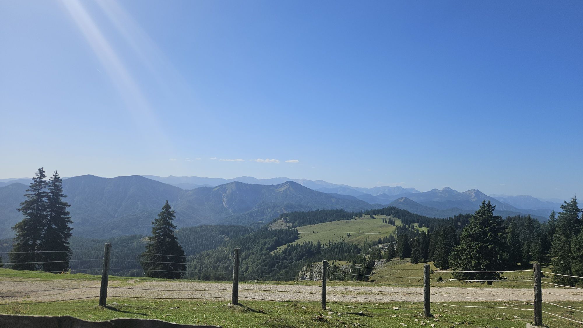
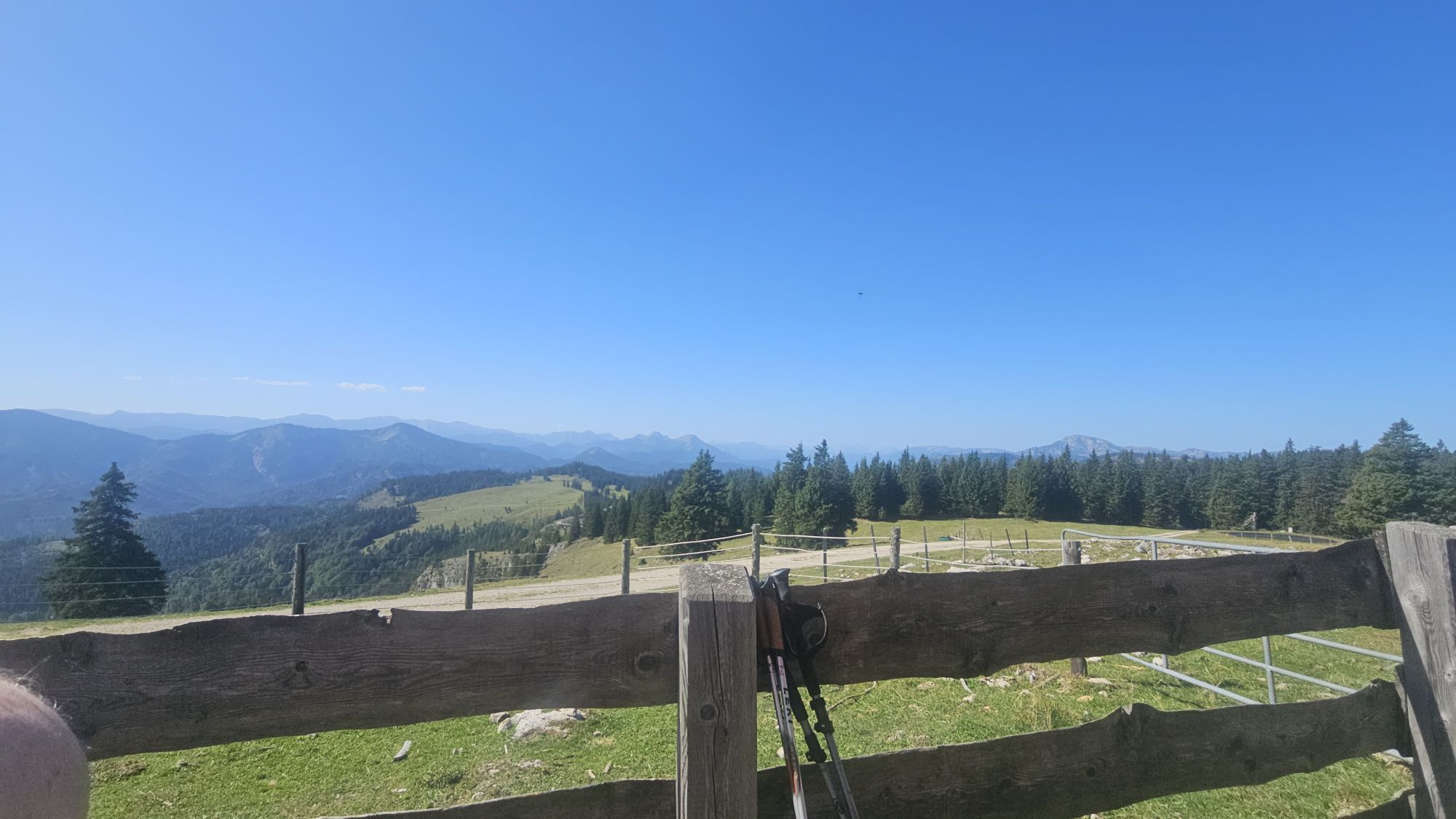
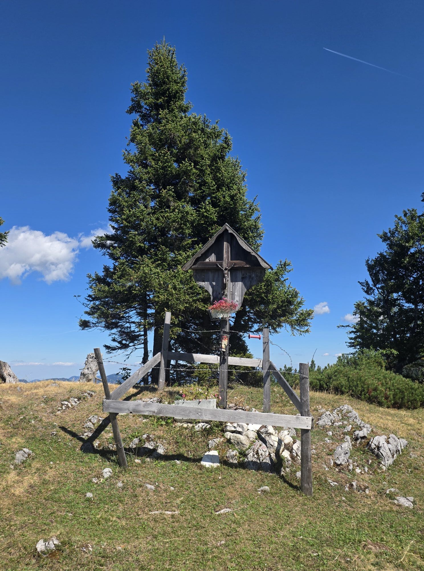
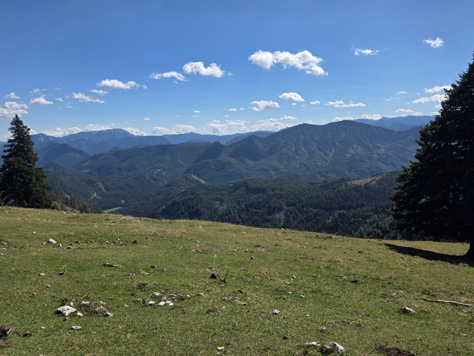
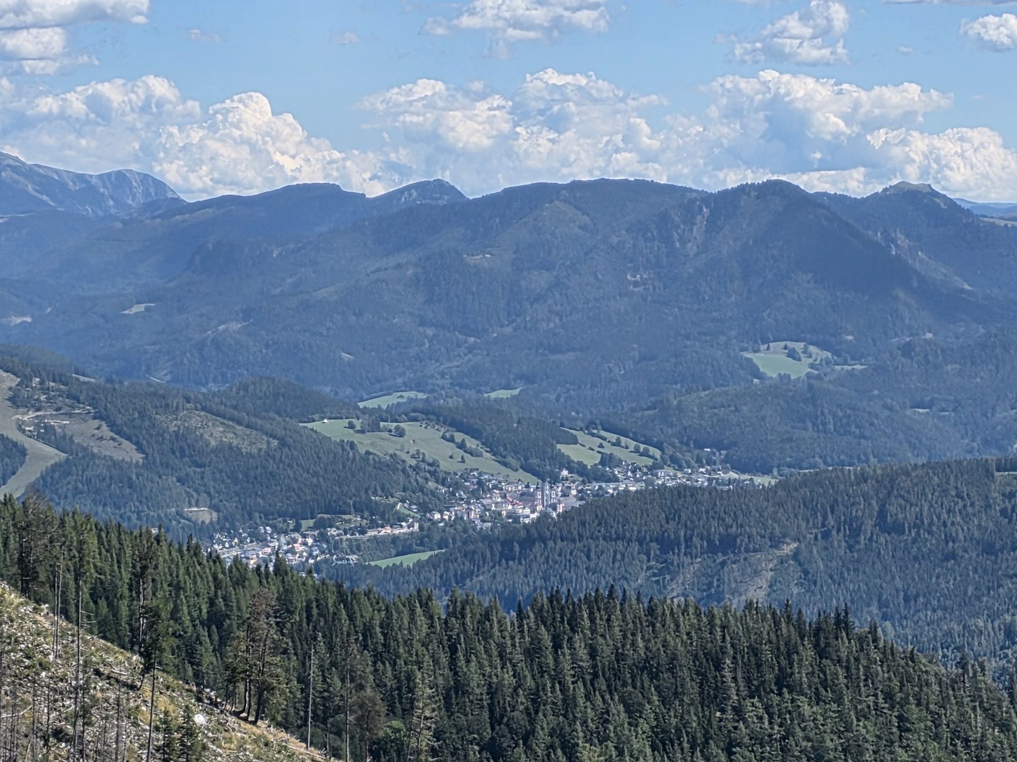
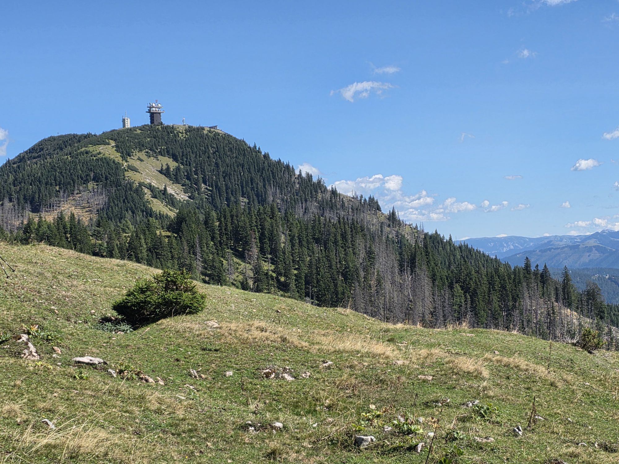
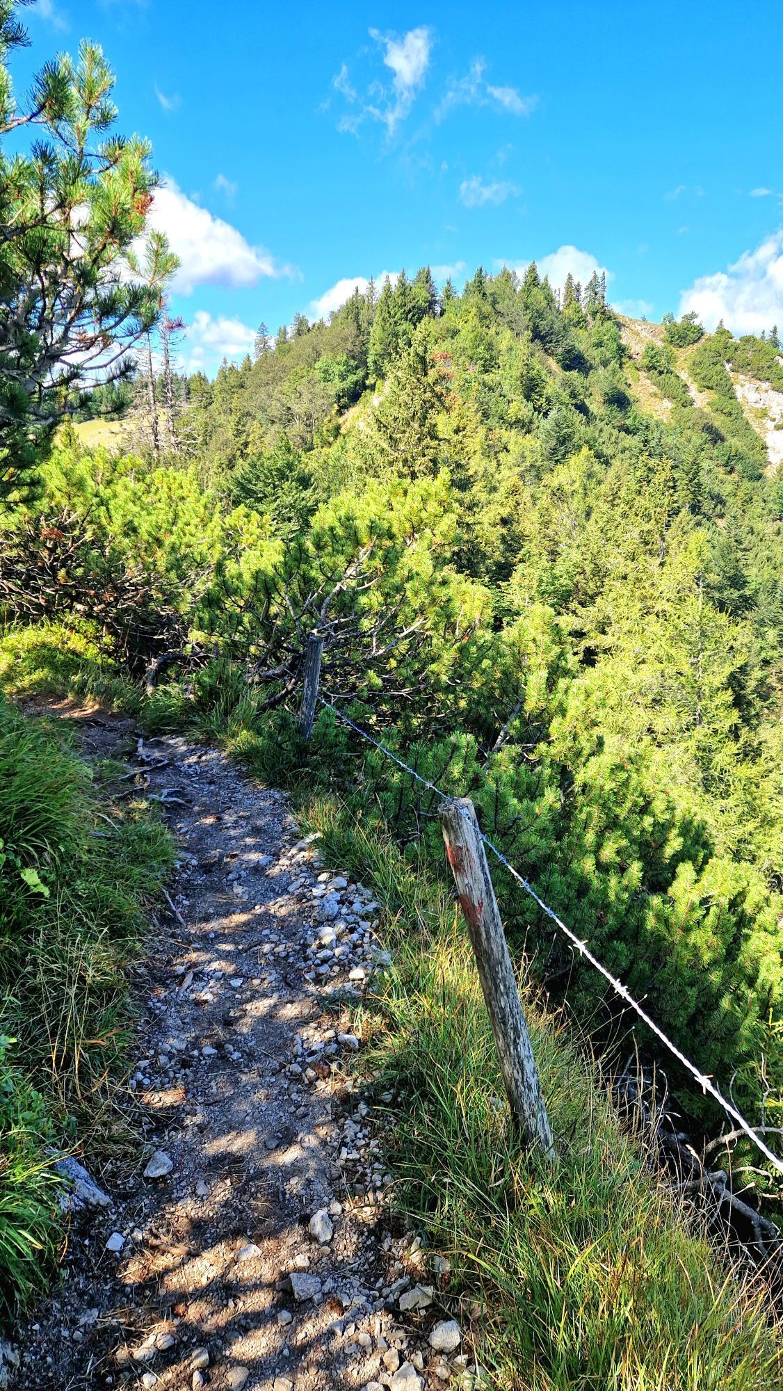
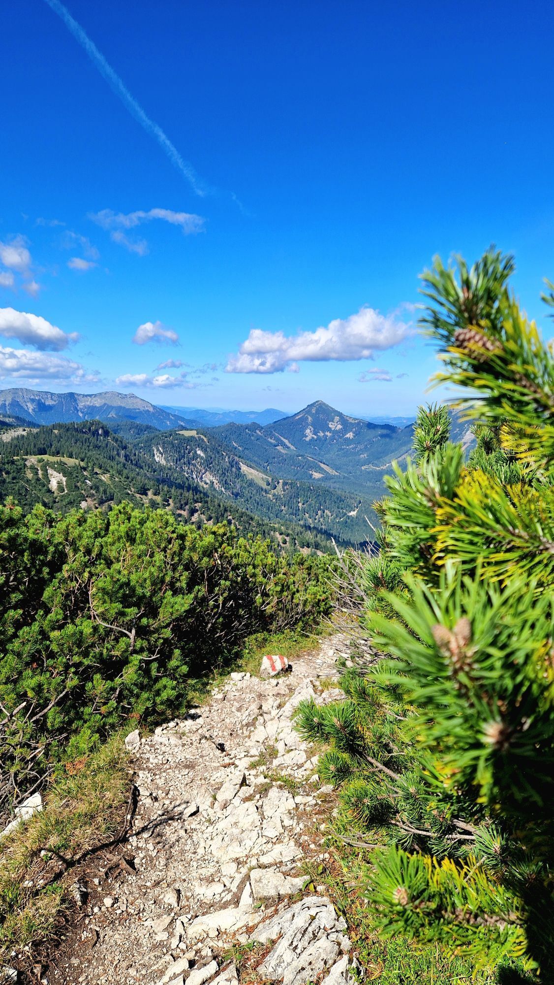
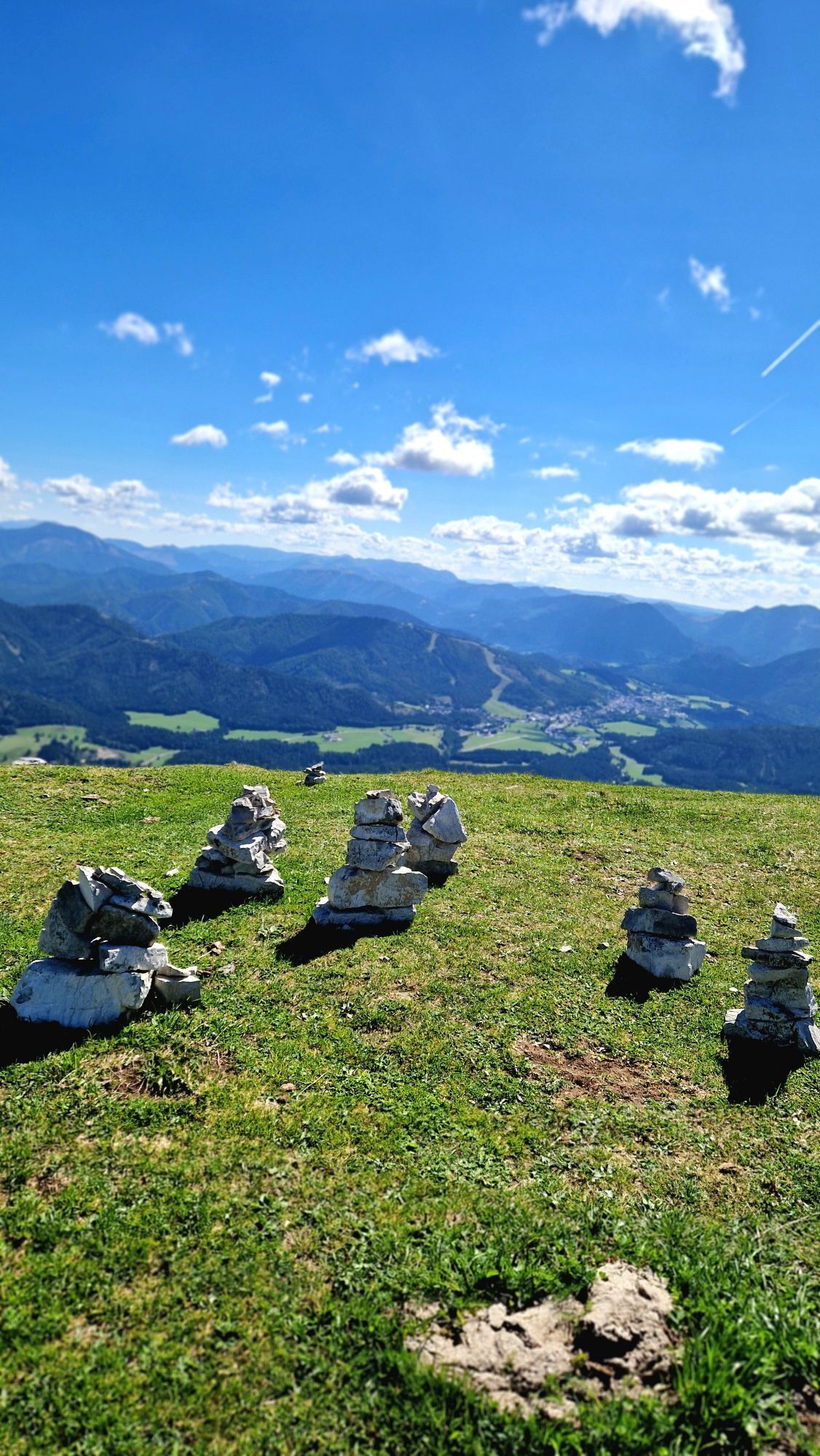
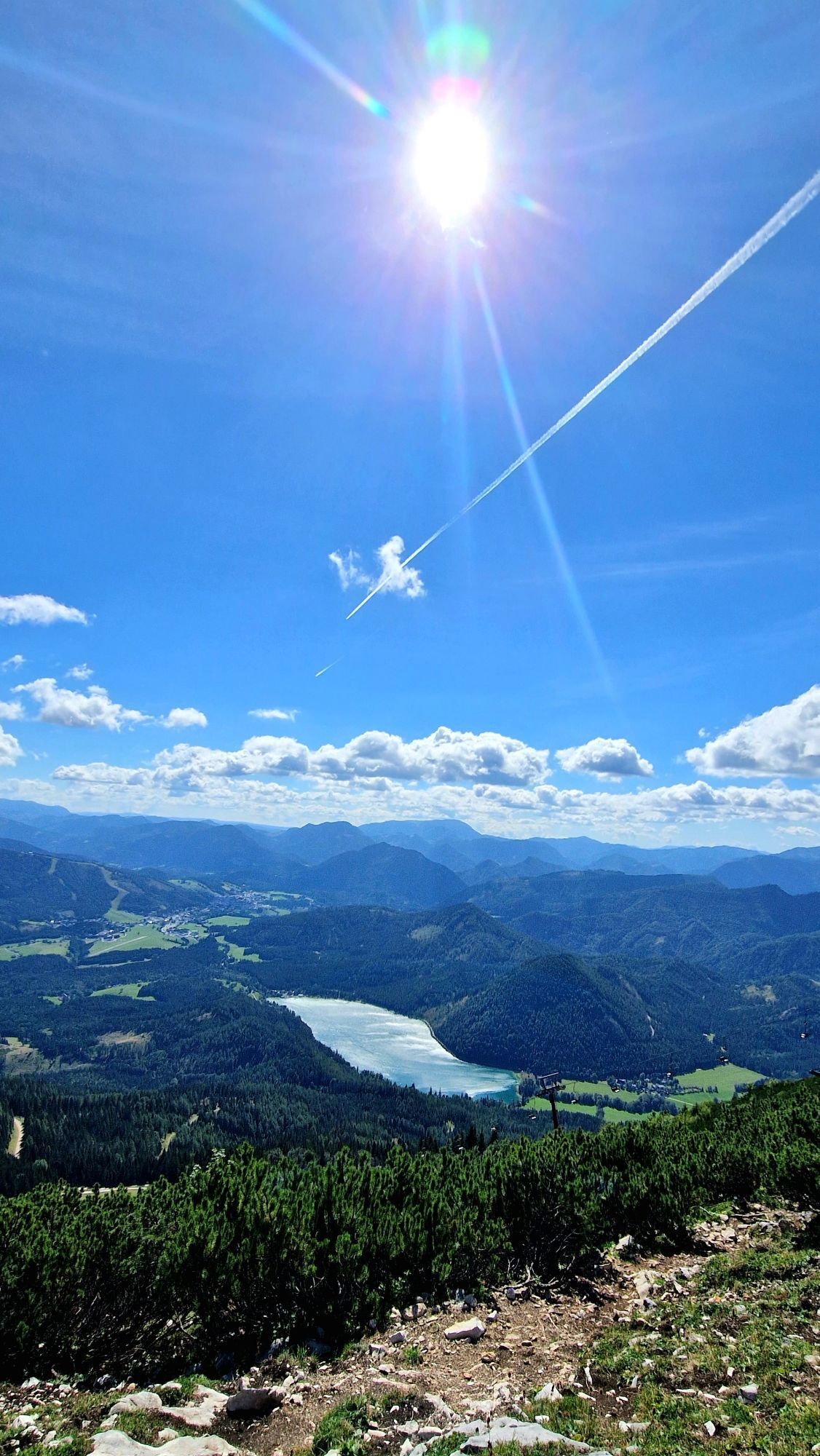
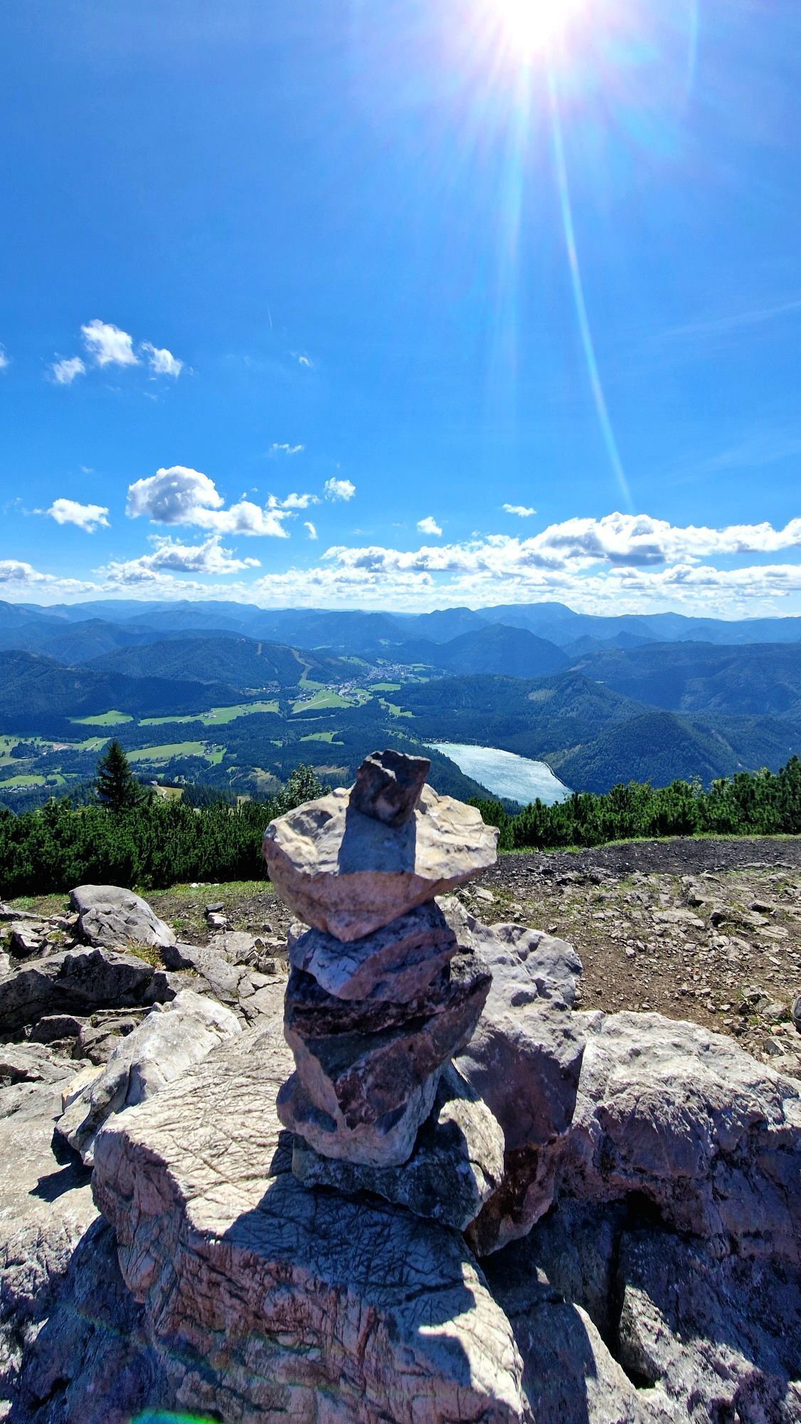
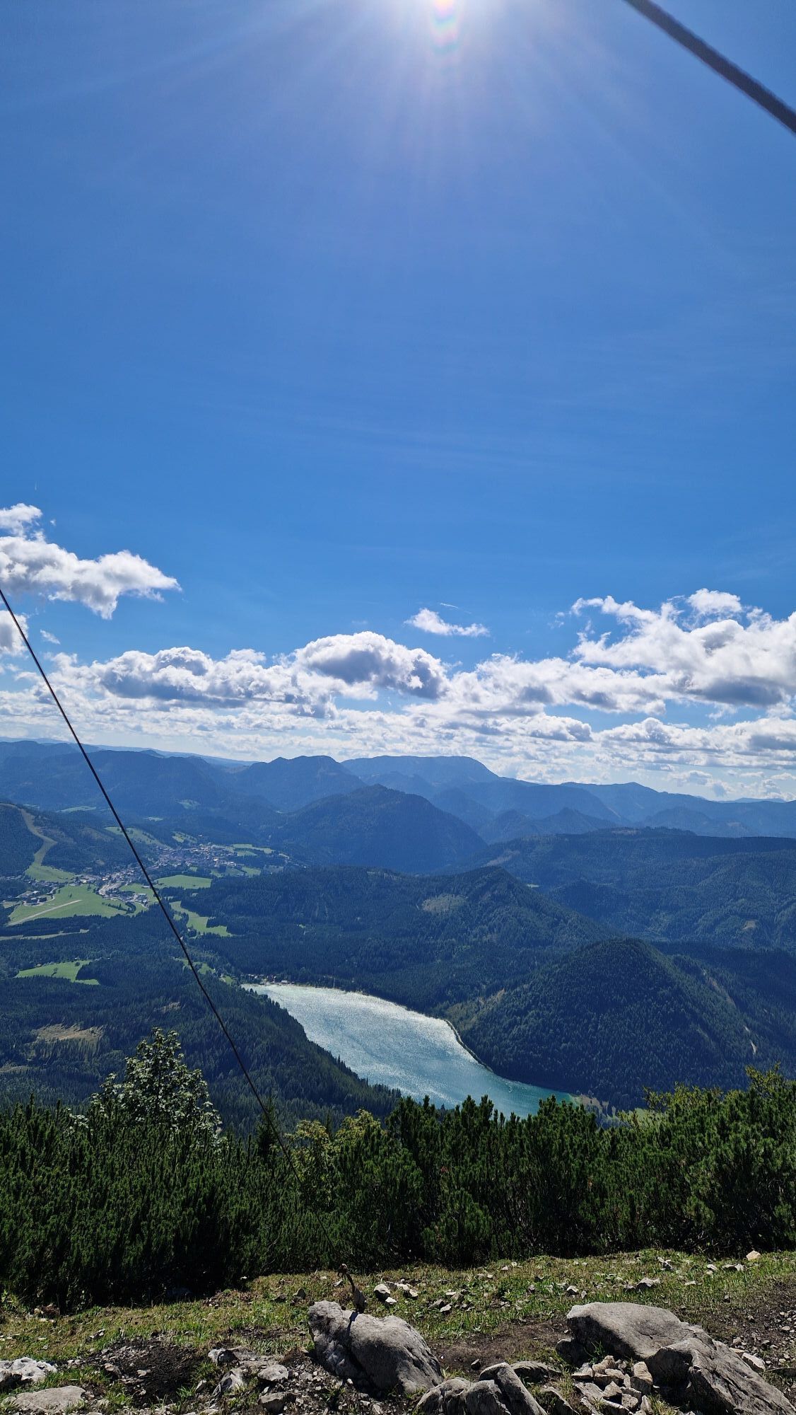
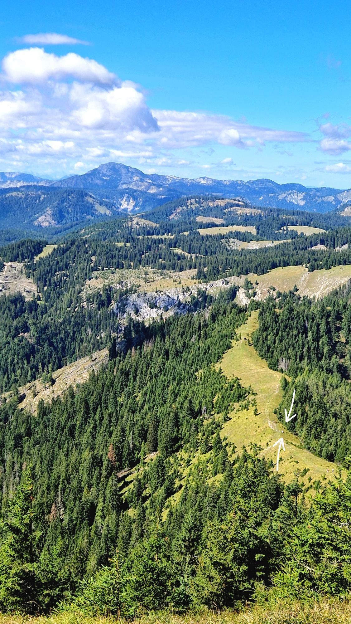
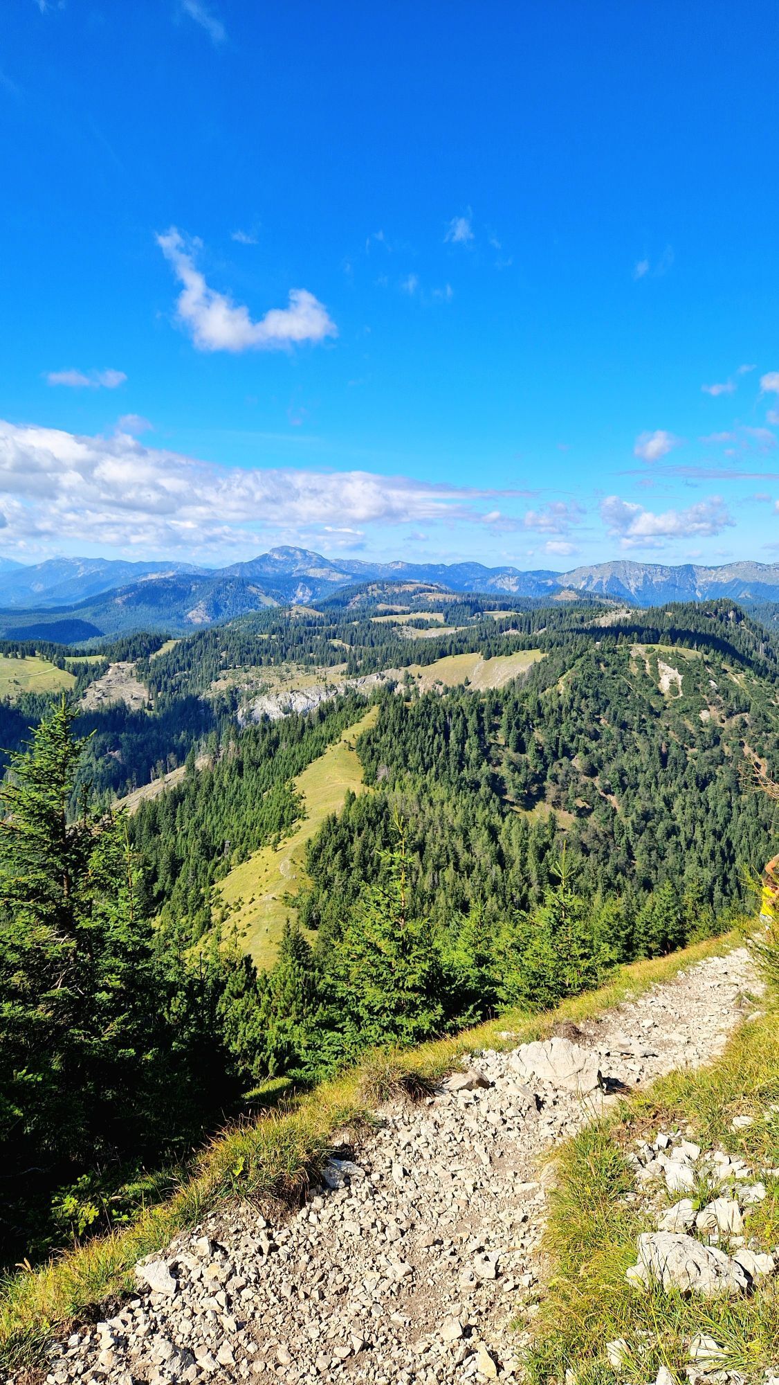
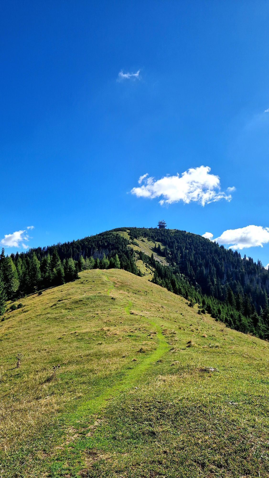
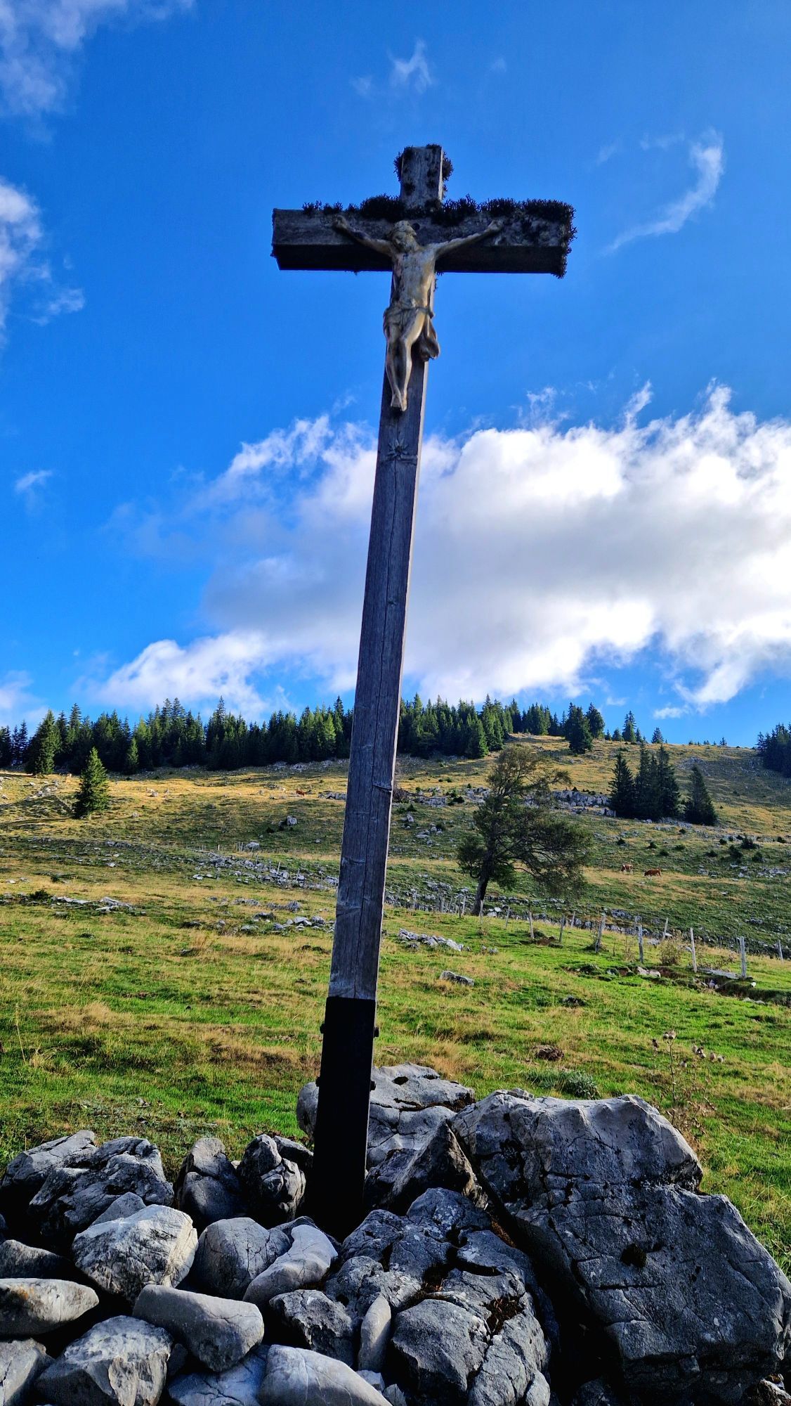
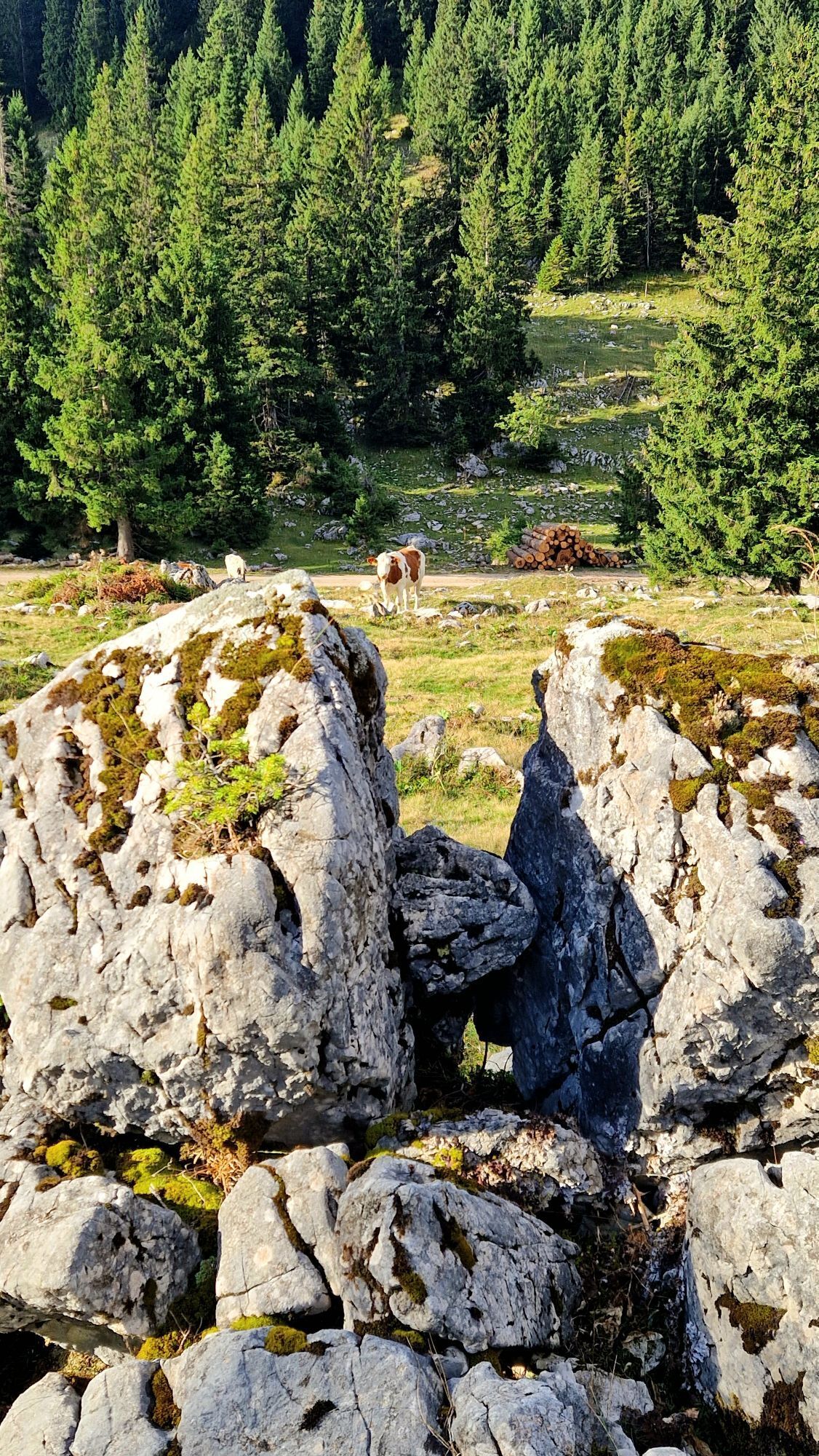
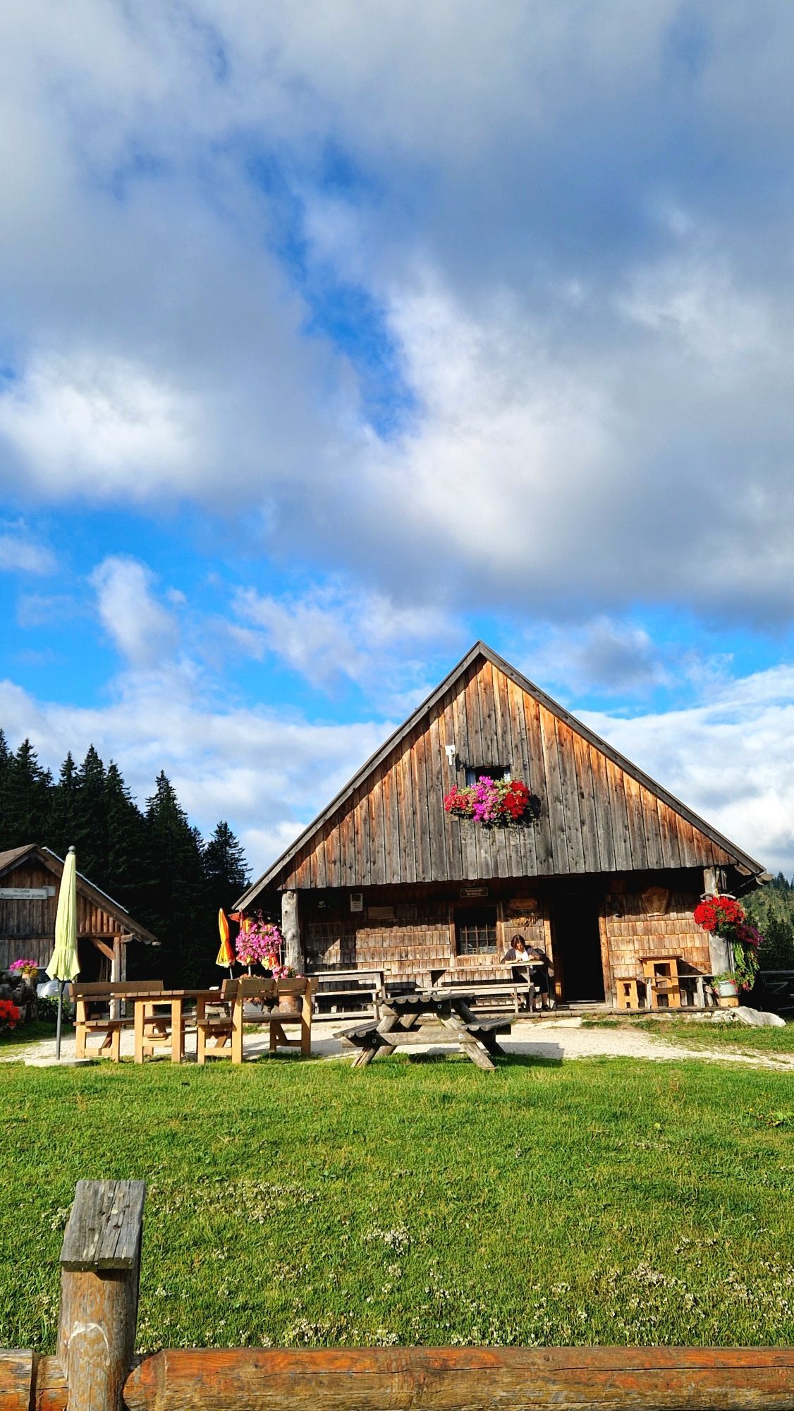
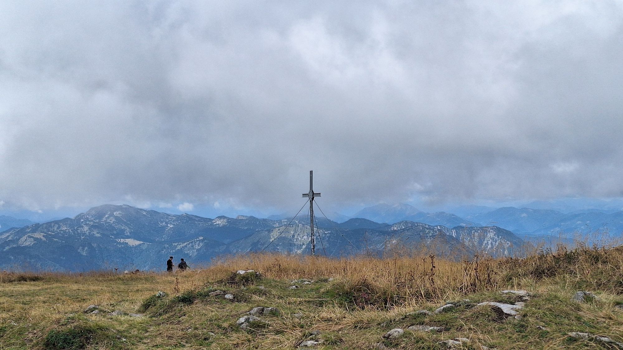
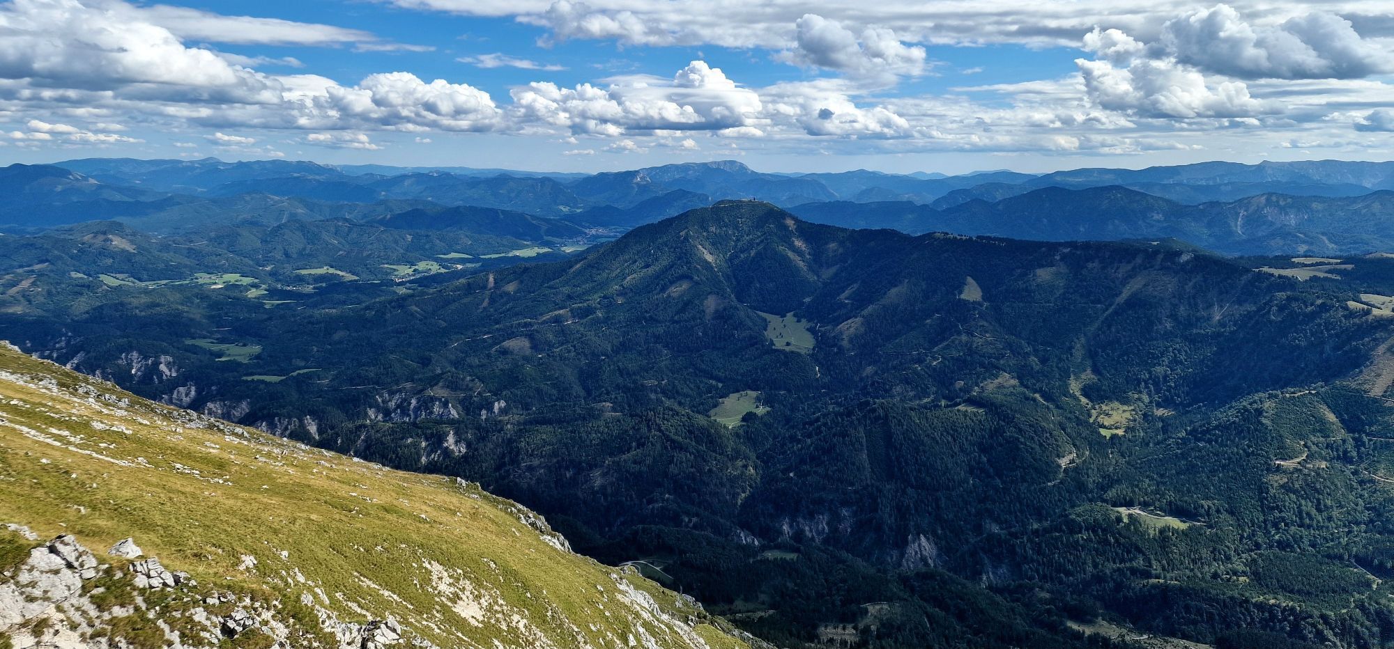
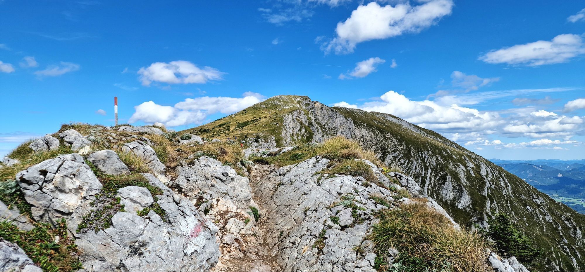
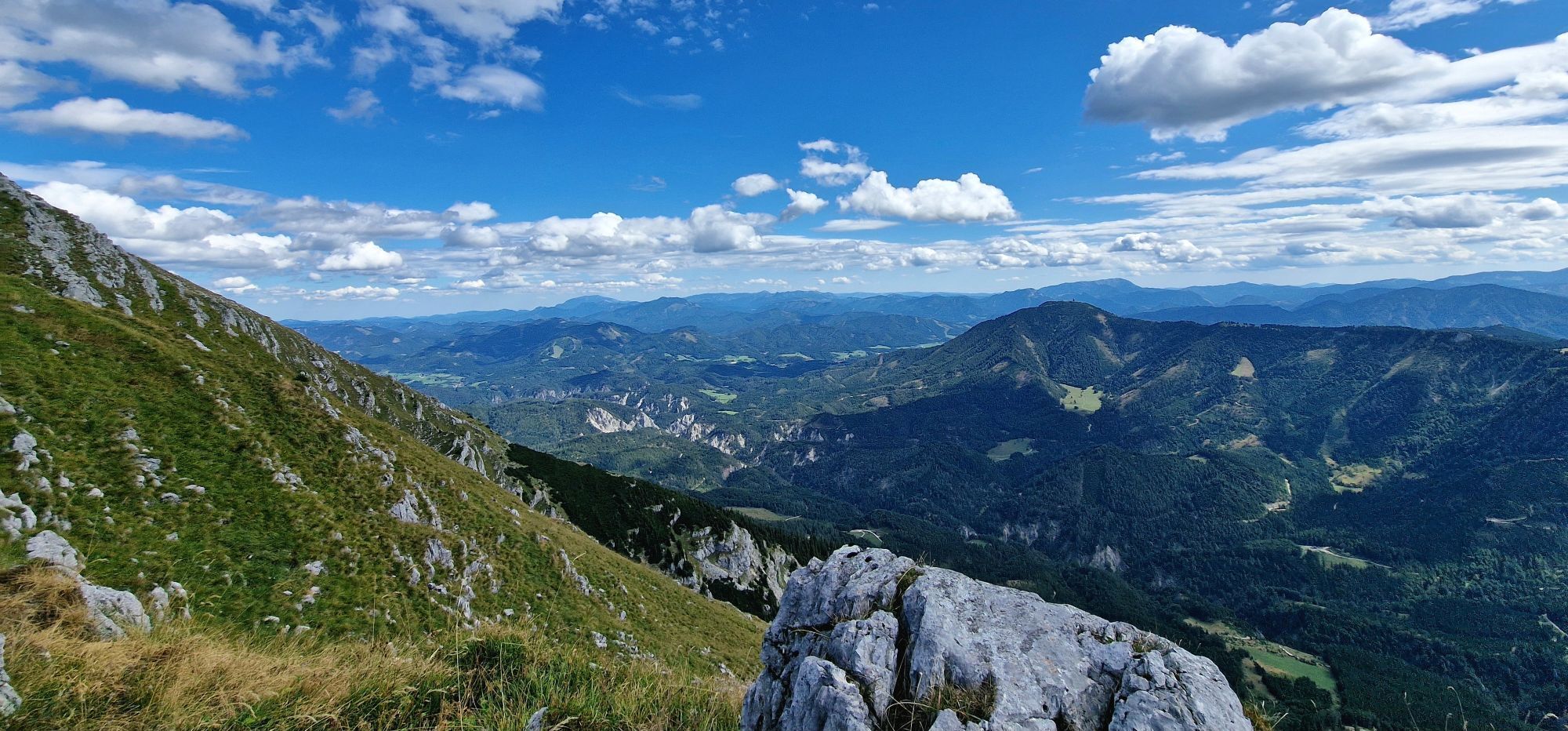
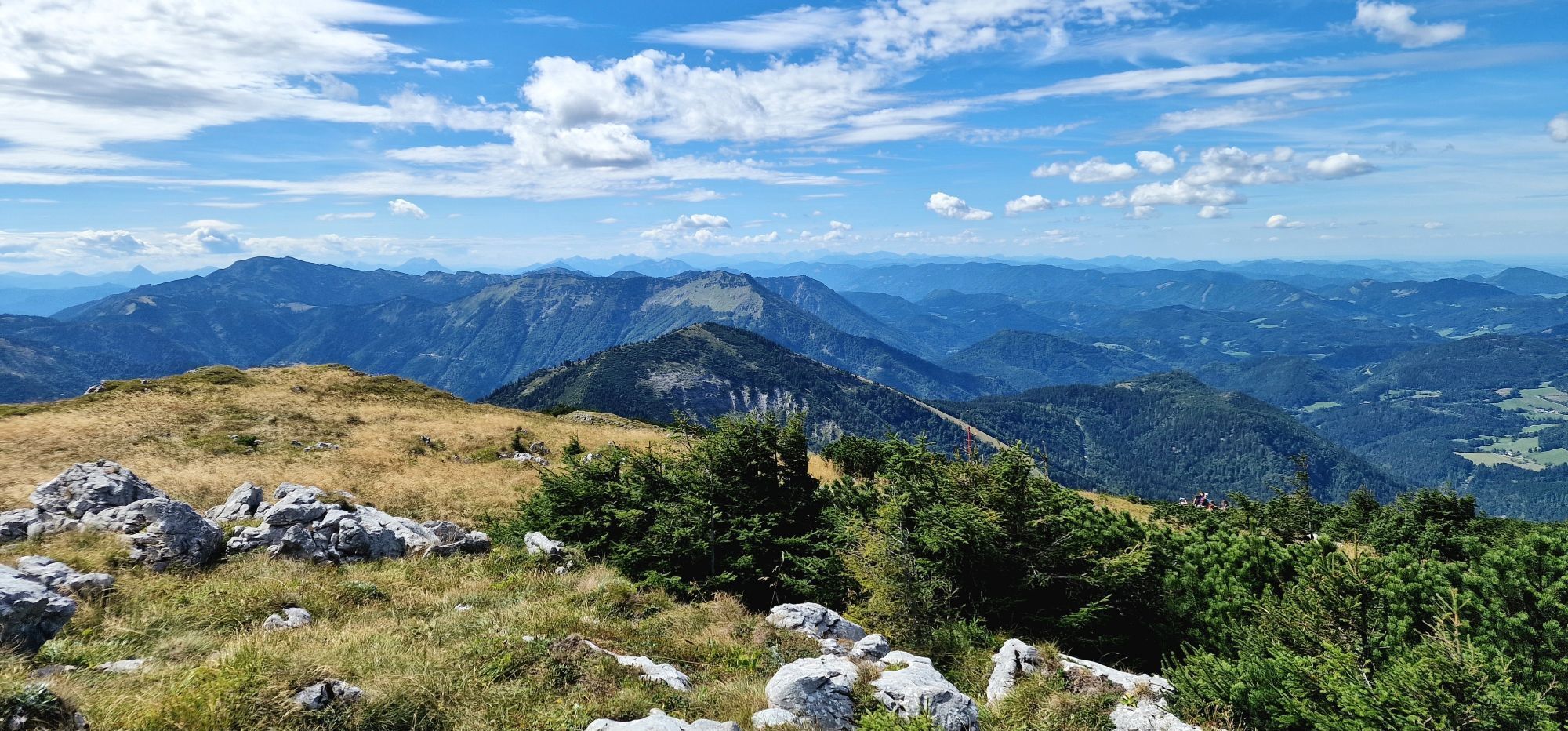
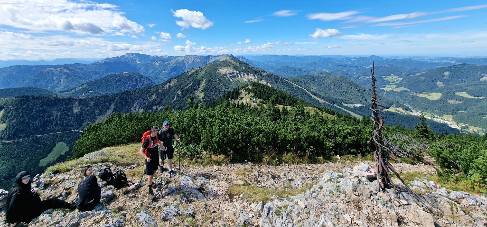
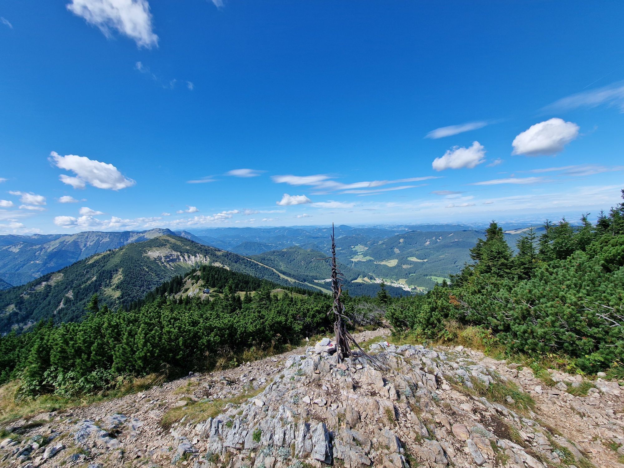
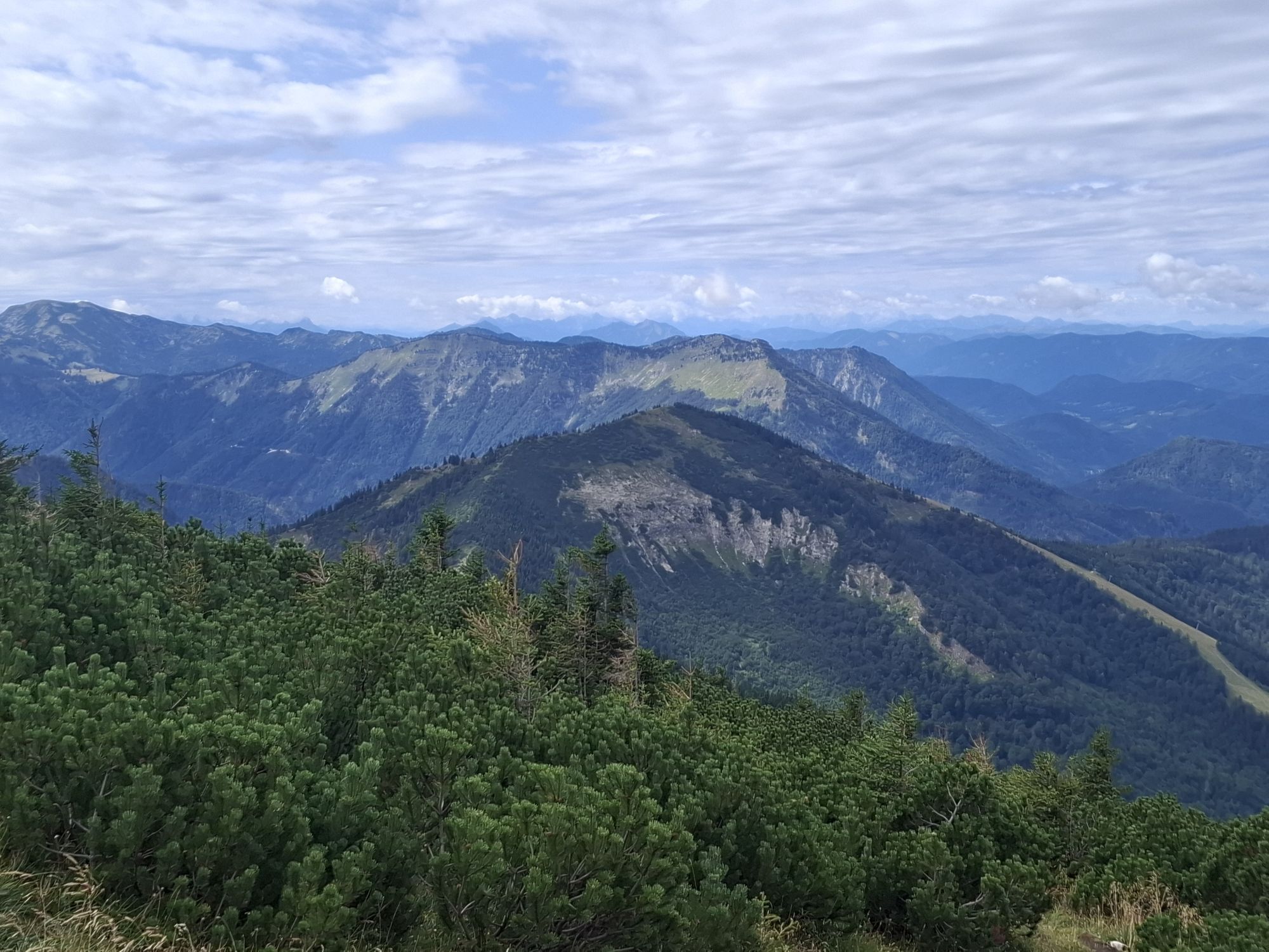
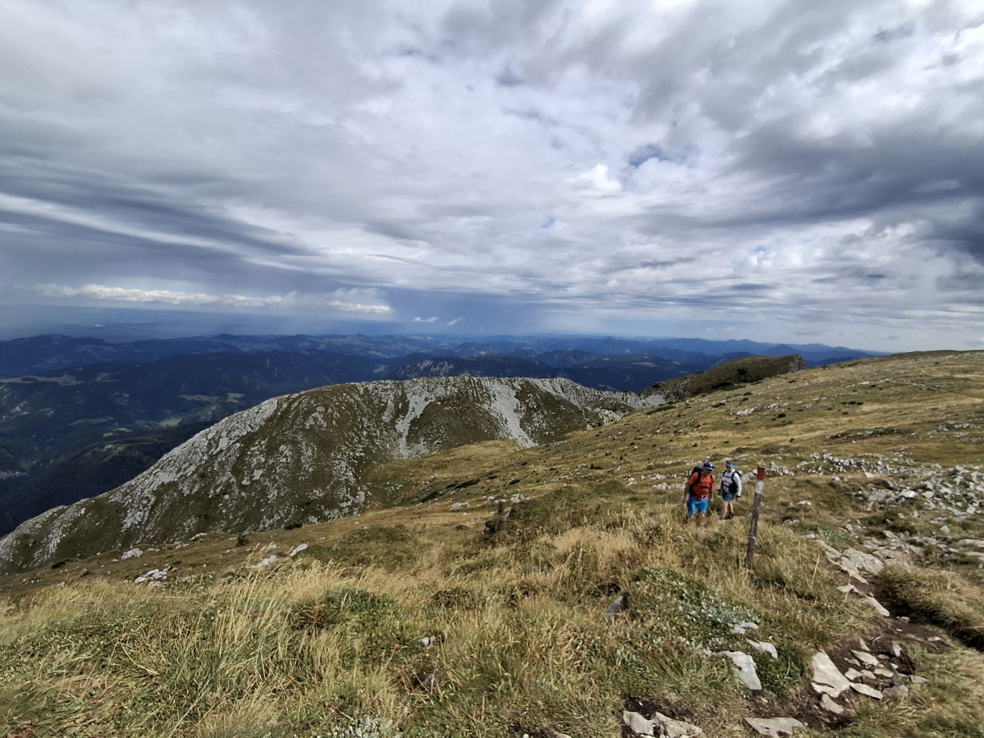
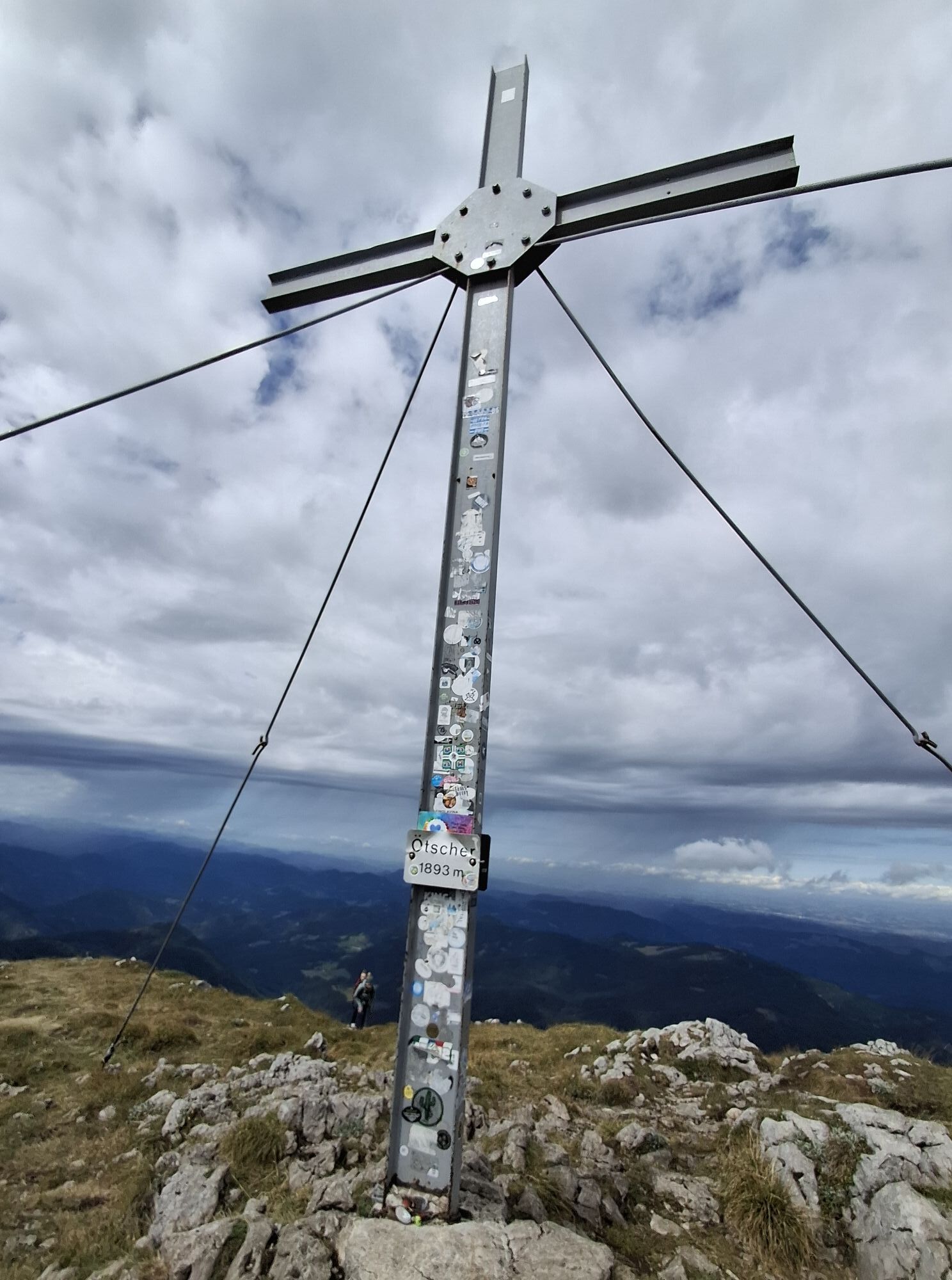
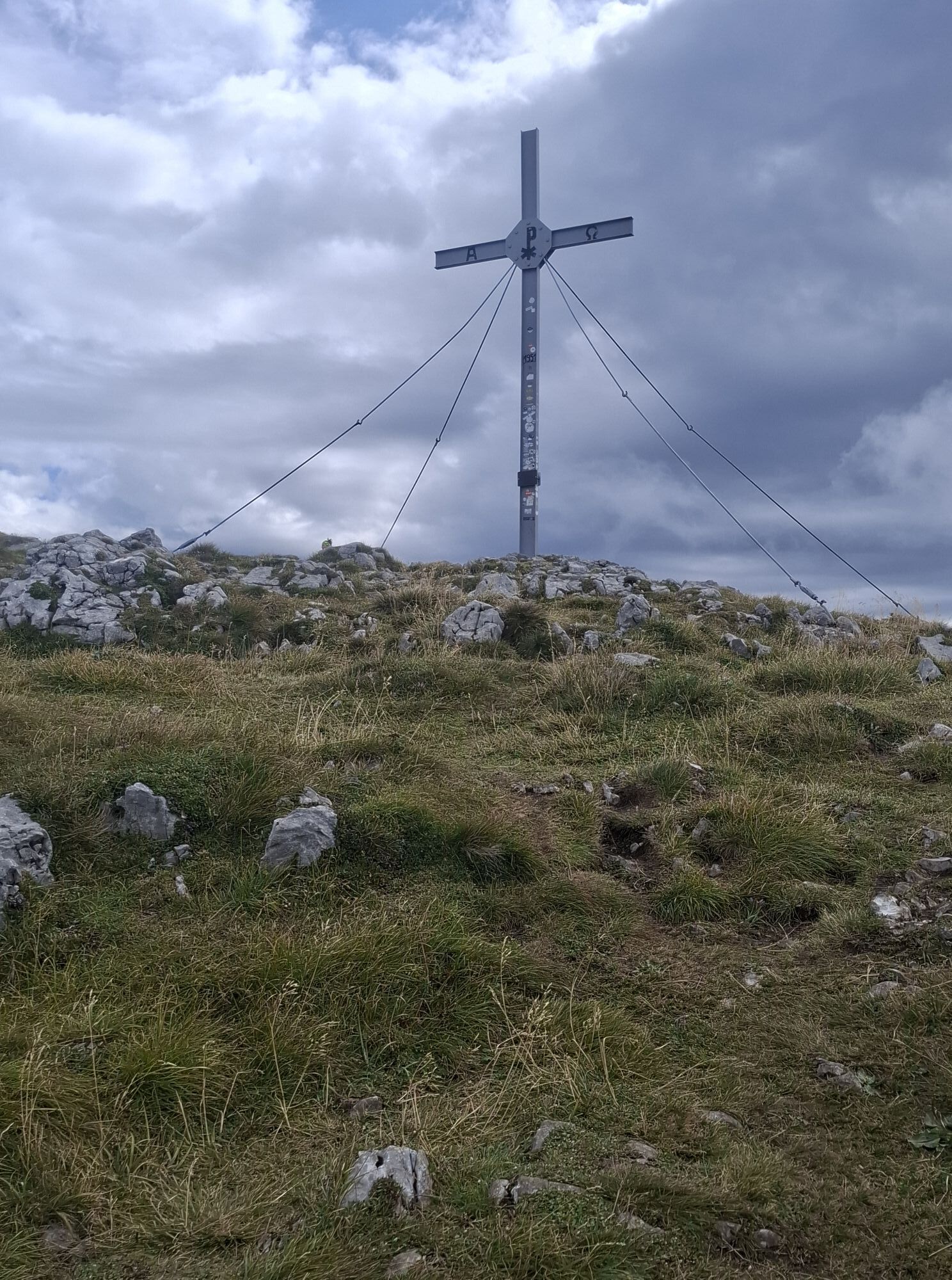
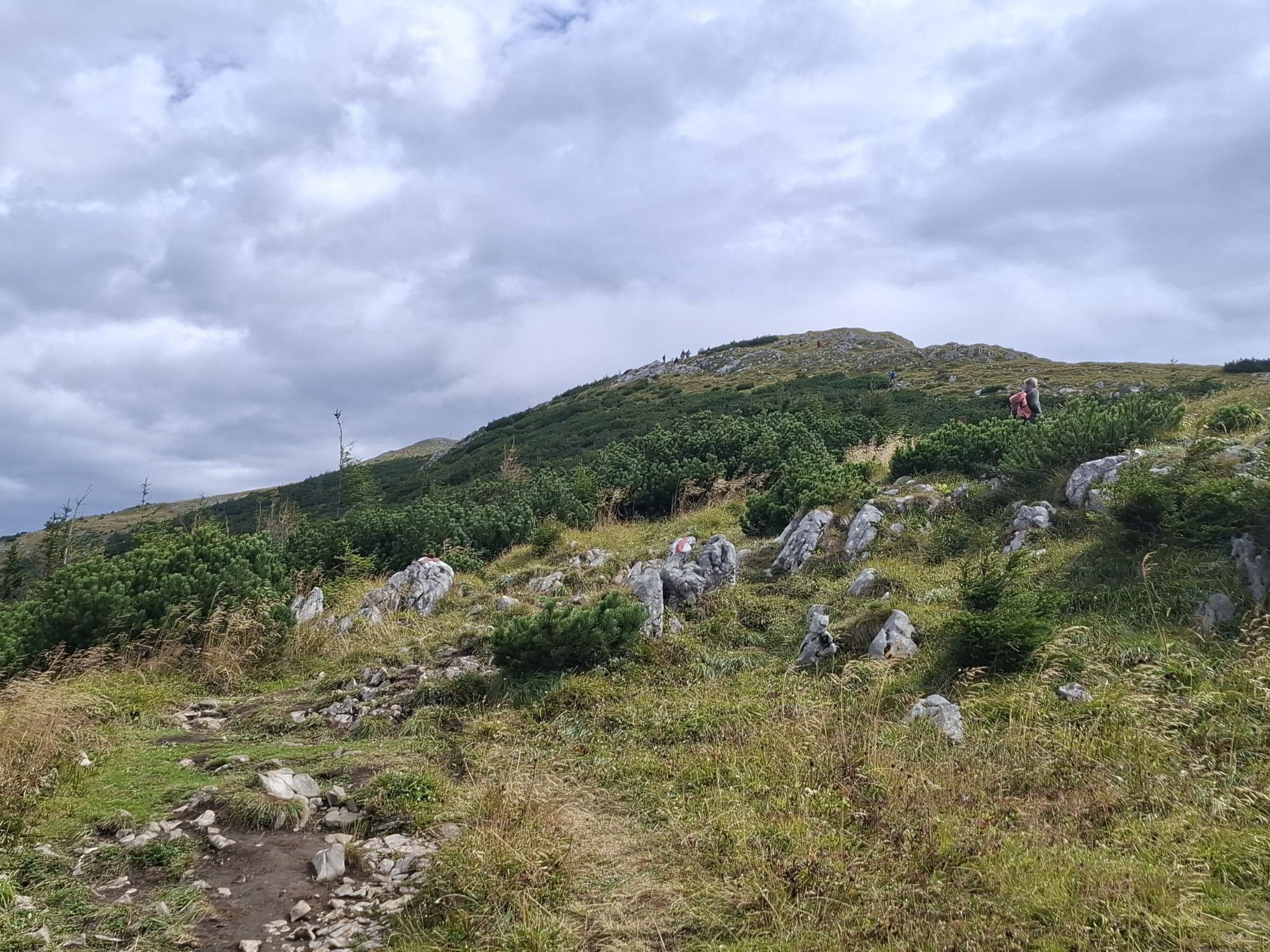
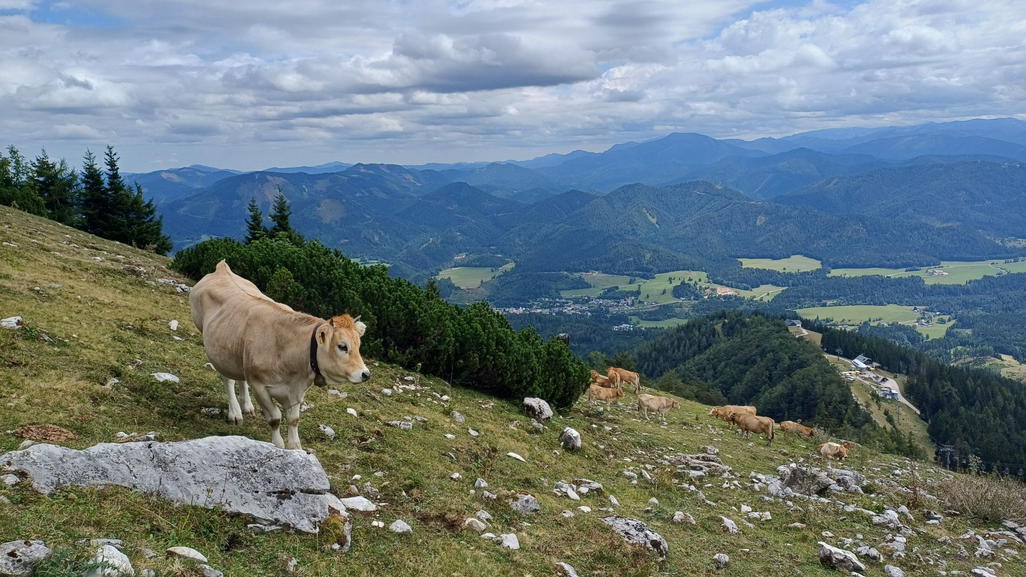
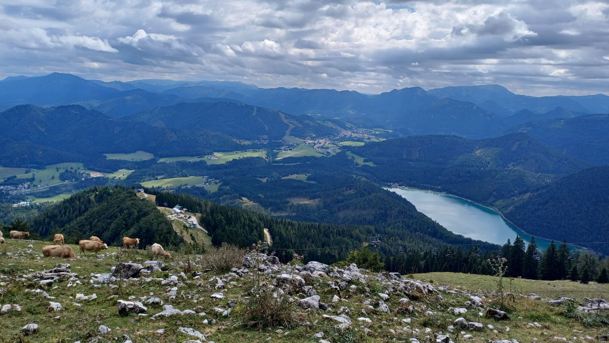
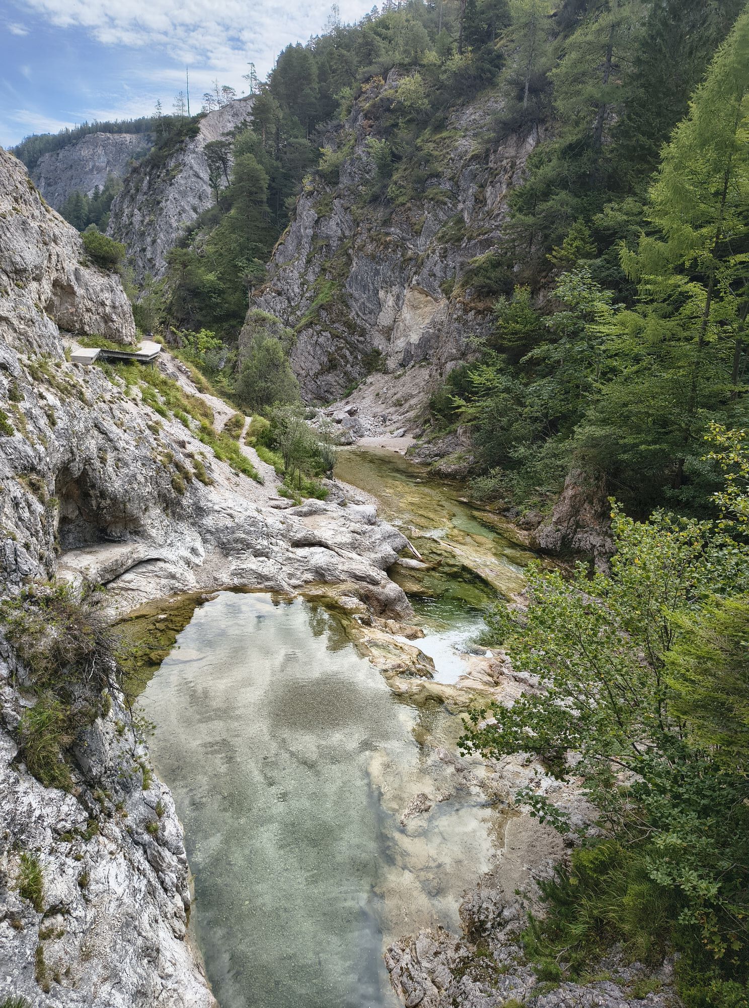
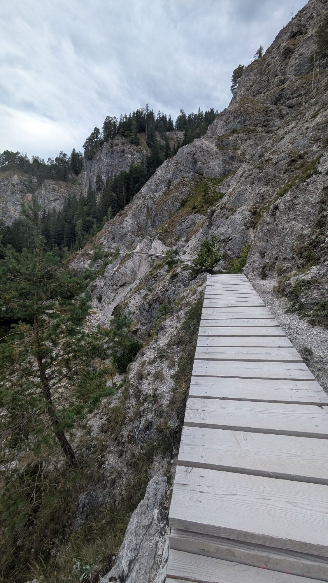
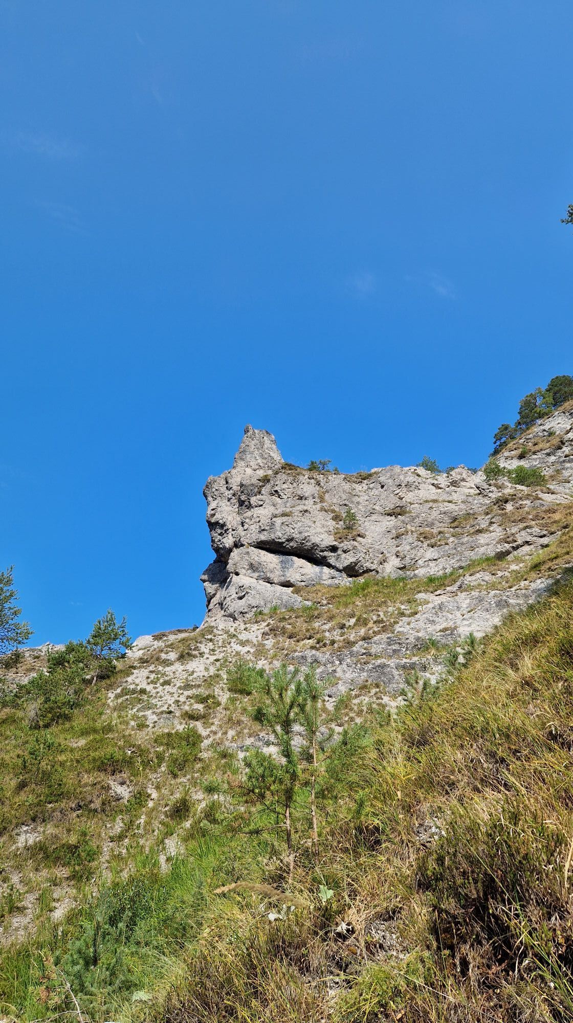
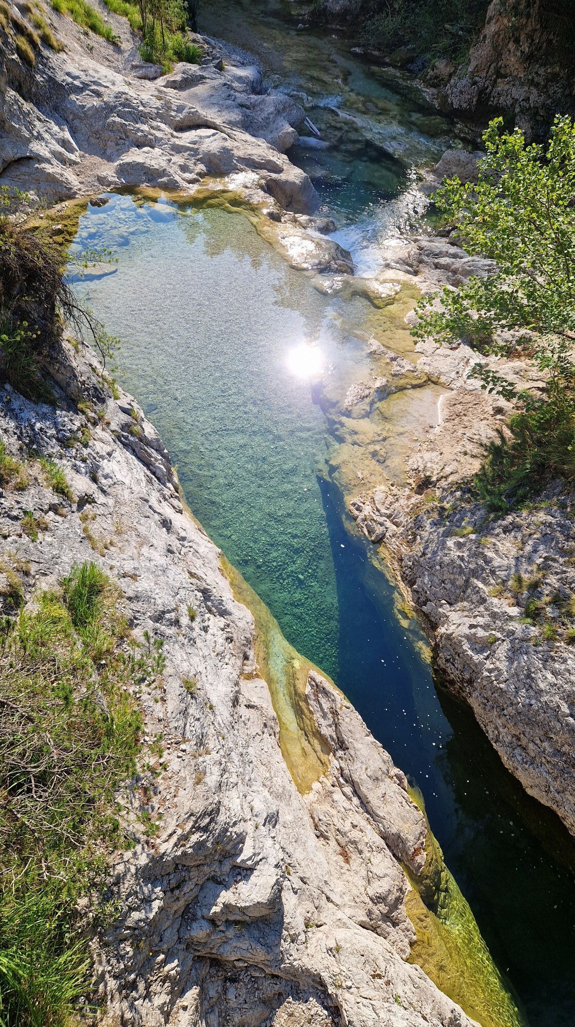
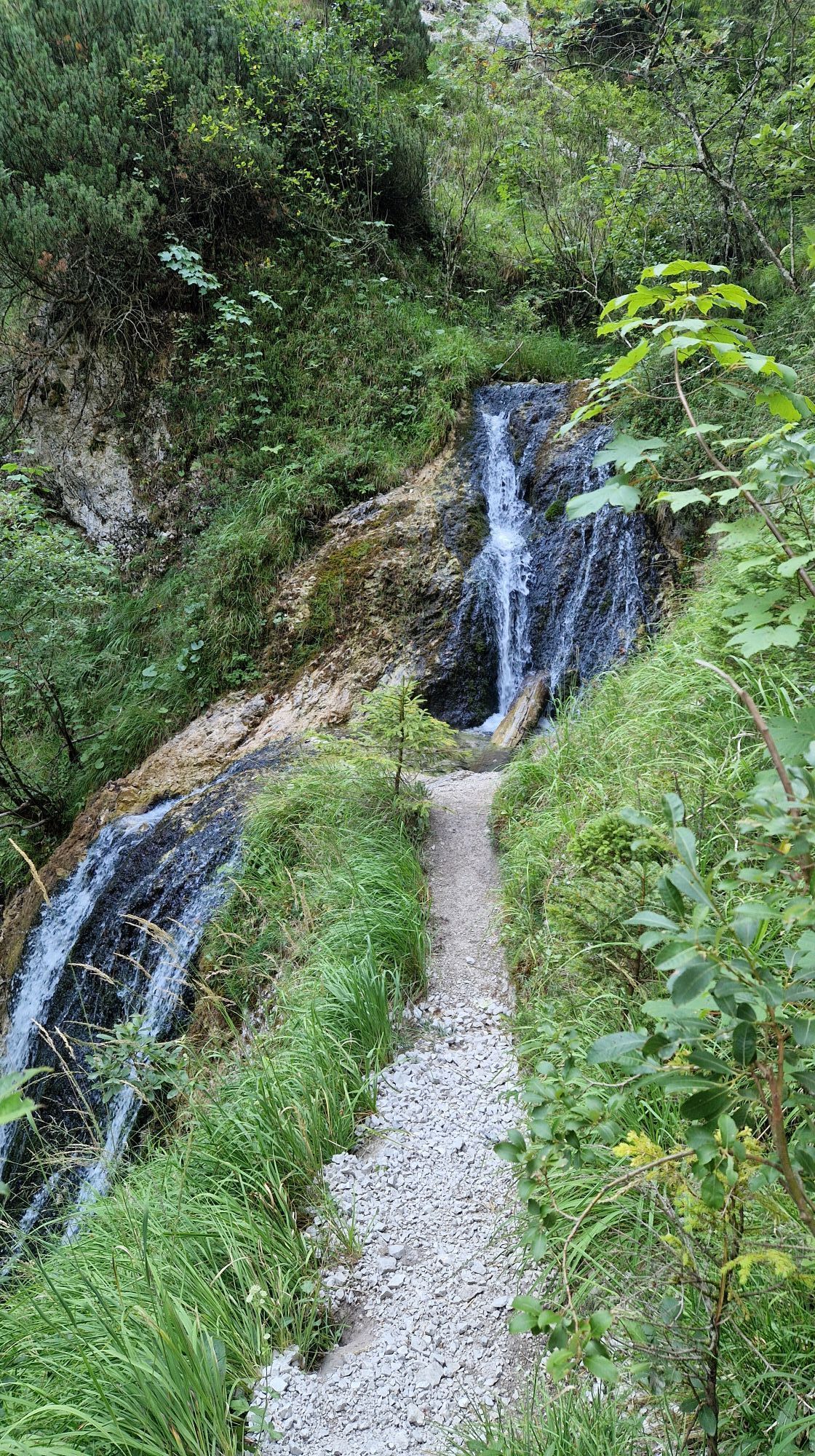
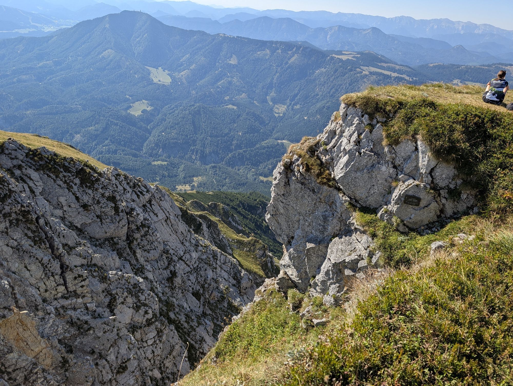
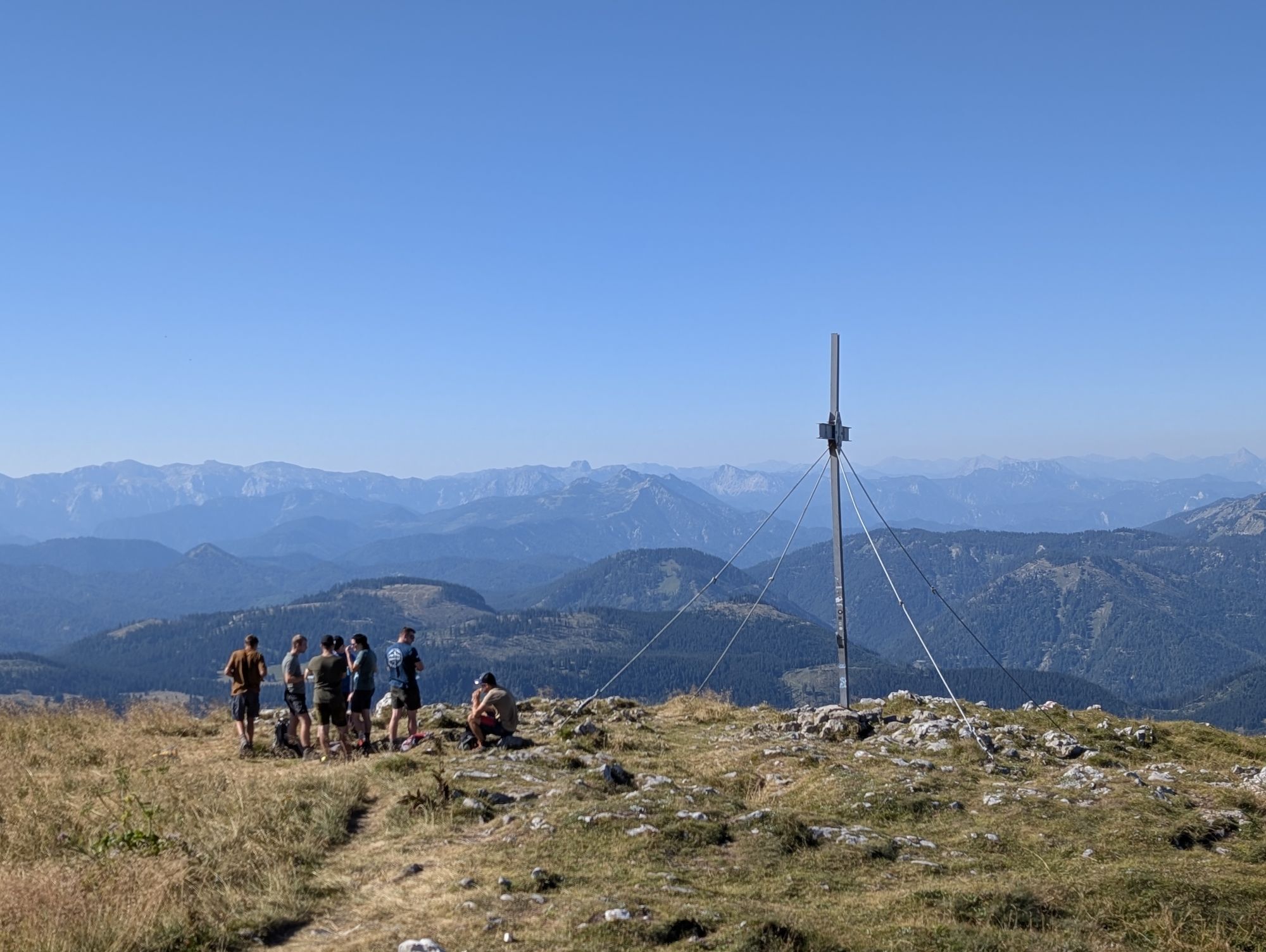
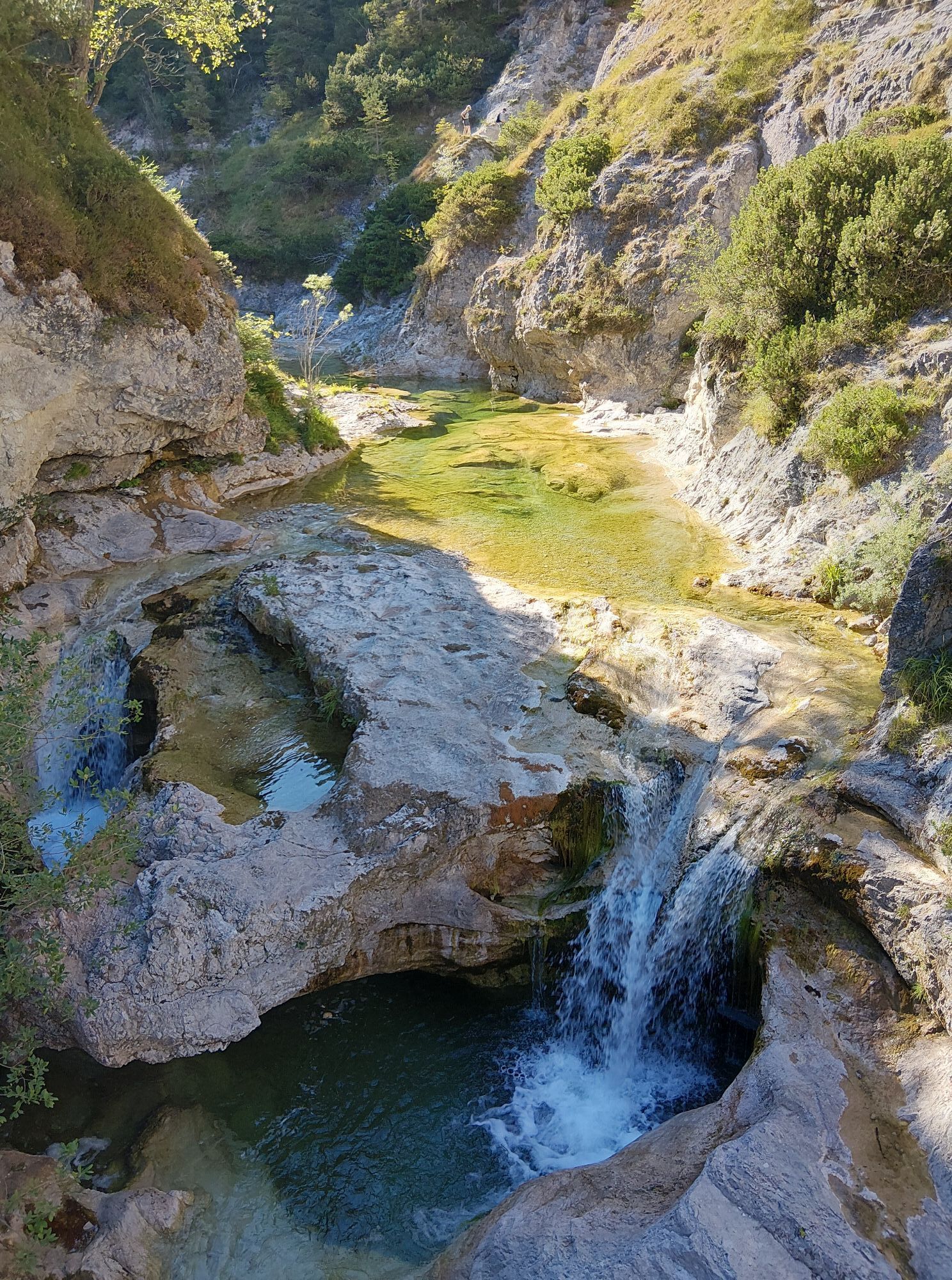
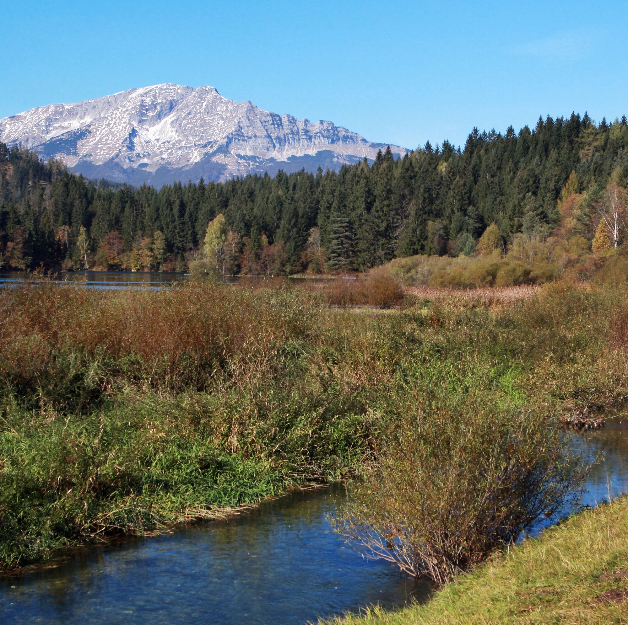
The path from Mitterbach initially gently follows along the fjord-like Erlauf reservoir then descends to the Ötscherhias. From here the hike continues through the impressive Ötschergräben up to Mirafall,...
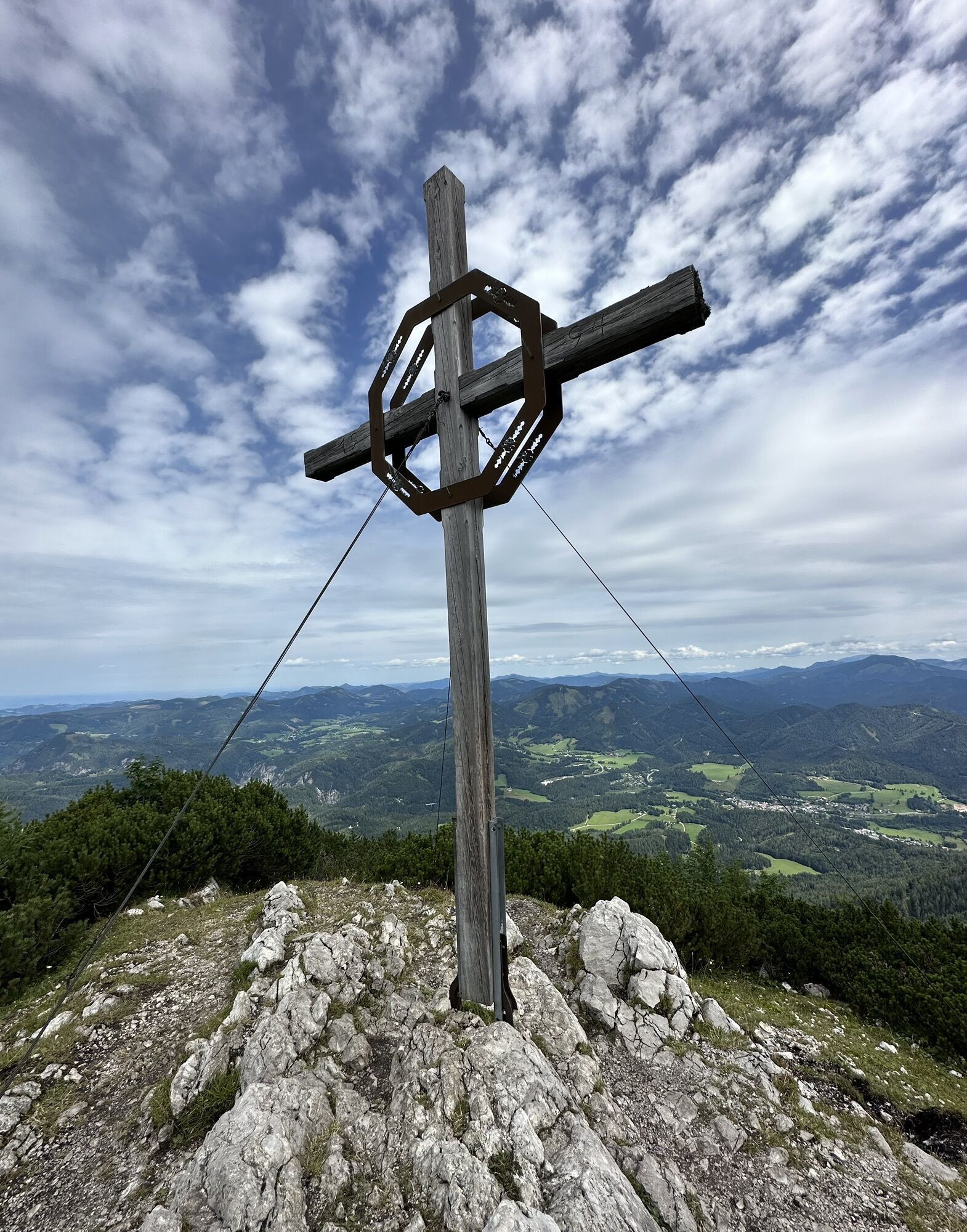
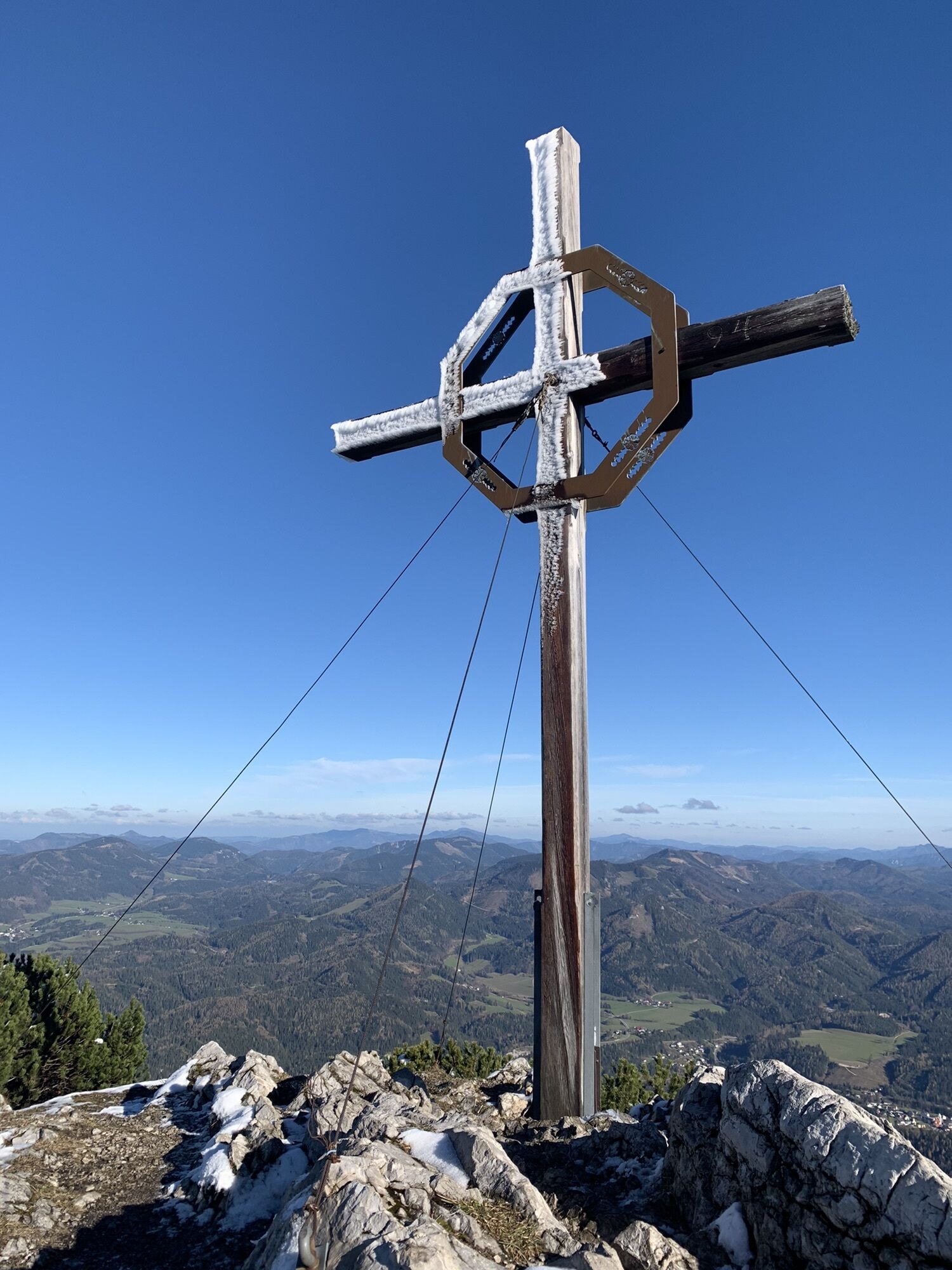
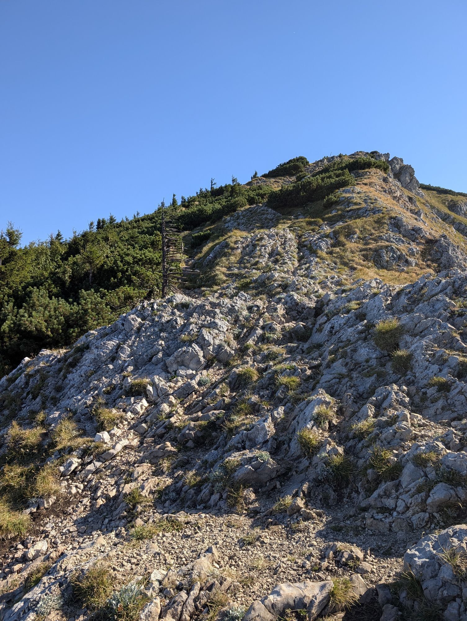
The path from Mitterbach initially gently follows along the fjord-like Erlauf reservoir then descends to the Ötscherhias. From here the hike continues through the impressive Ötschergräben up to Mirafall, from where the path ascends towards Jägerherz and Ötscher summit. Through beautiful beech forests and past the caves Geldloch and Taubenloch you reach the entry to Rauher Kamm. The ridge with climbing sections of difficulty between 1 and 1+ is probably the most beautiful ascent to the Ötscher summit! You gain height quickly, the terrain is steep, rocky and exposed and therefore counts as a challenging mountain tour. Surefootedness and lack of fear of heights are absolutely necessary.
Ötscherschutzhaus serves as accommodation!
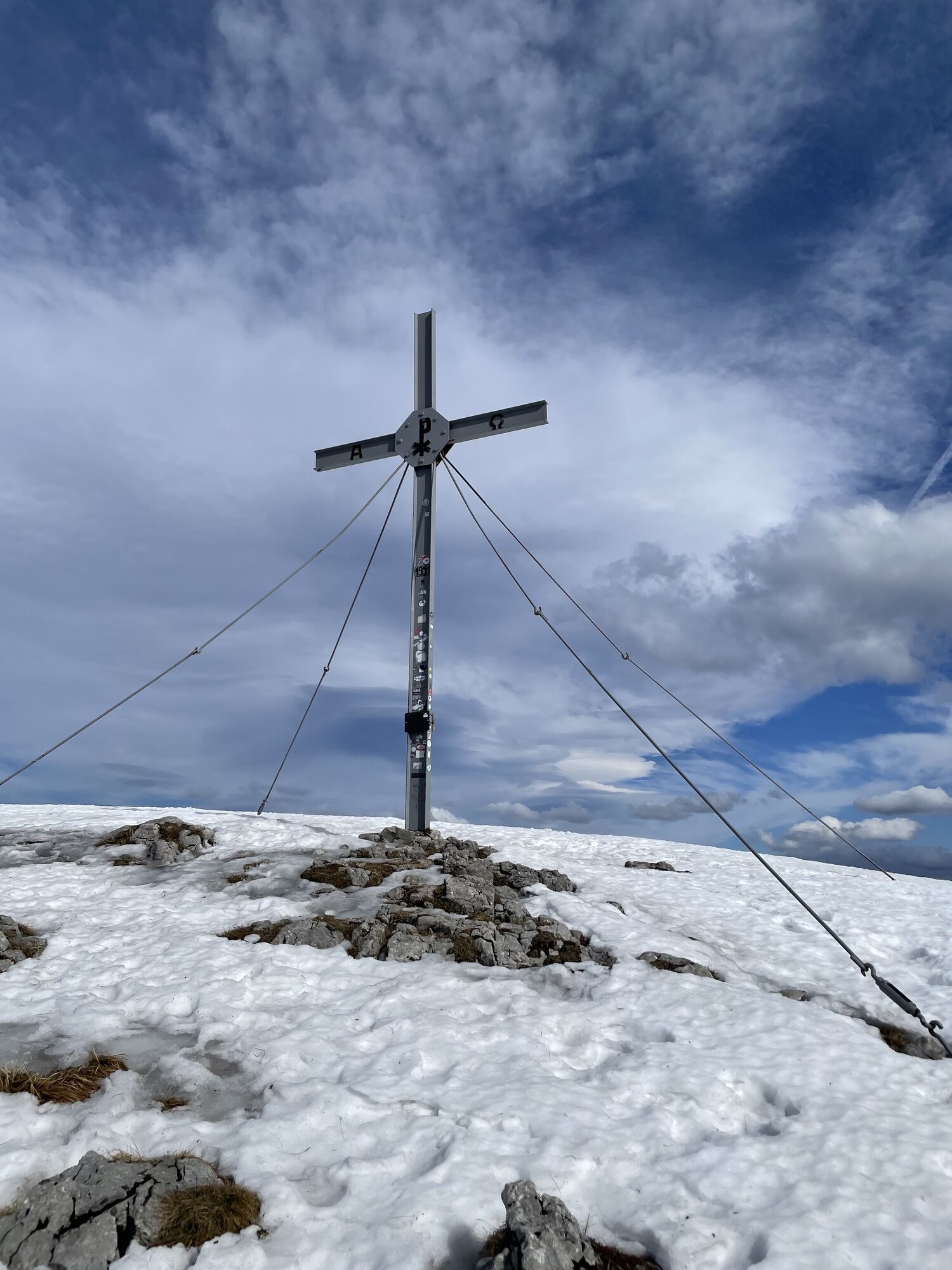
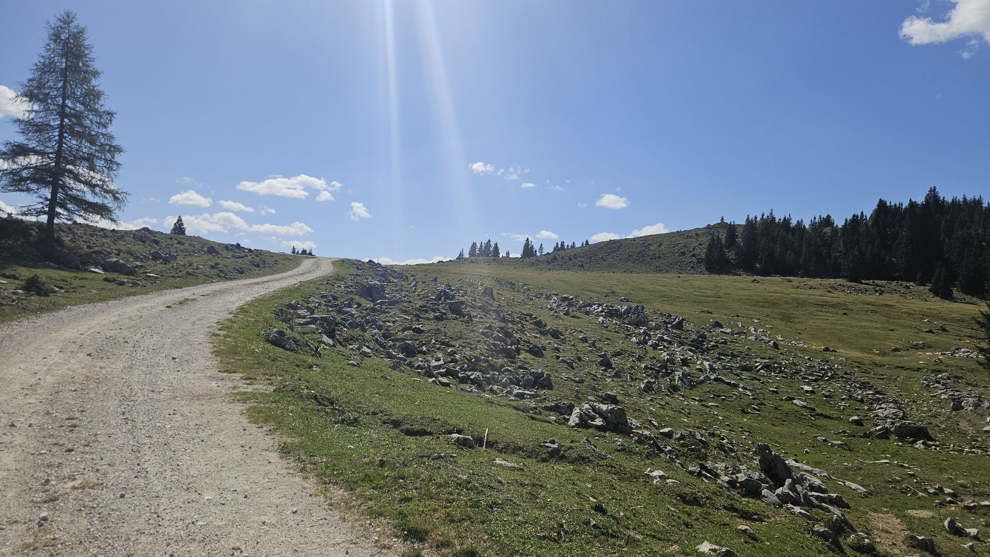
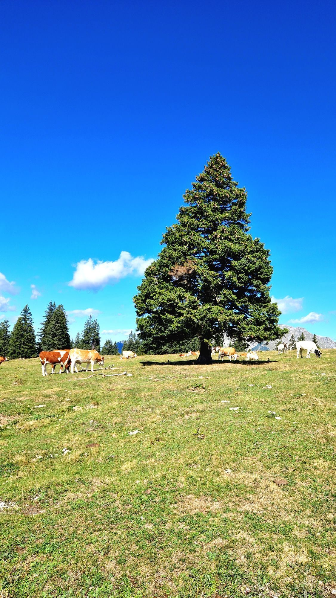
The next day the path leads to Riffelsattel and then over gentle alpine pastures, always with views of the Ötscher and the surrounding mountains, to the Brachalm. There are still some altitude meters to overcome up to the Gemeindealpe summit. Then it goes downhill back to the starting point.
Tired hikers can also take the lift here!

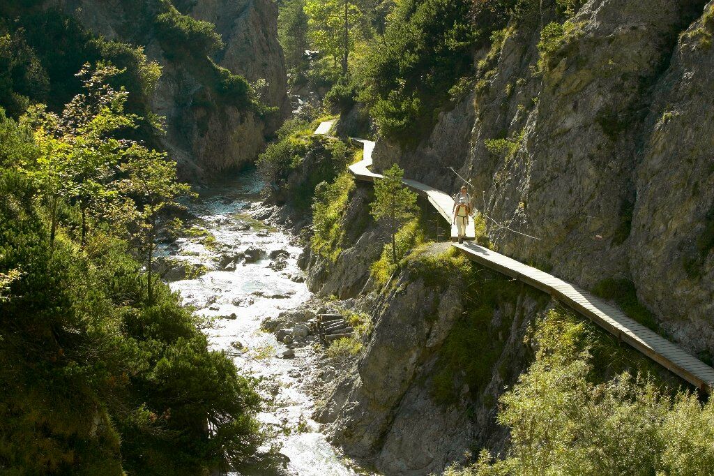
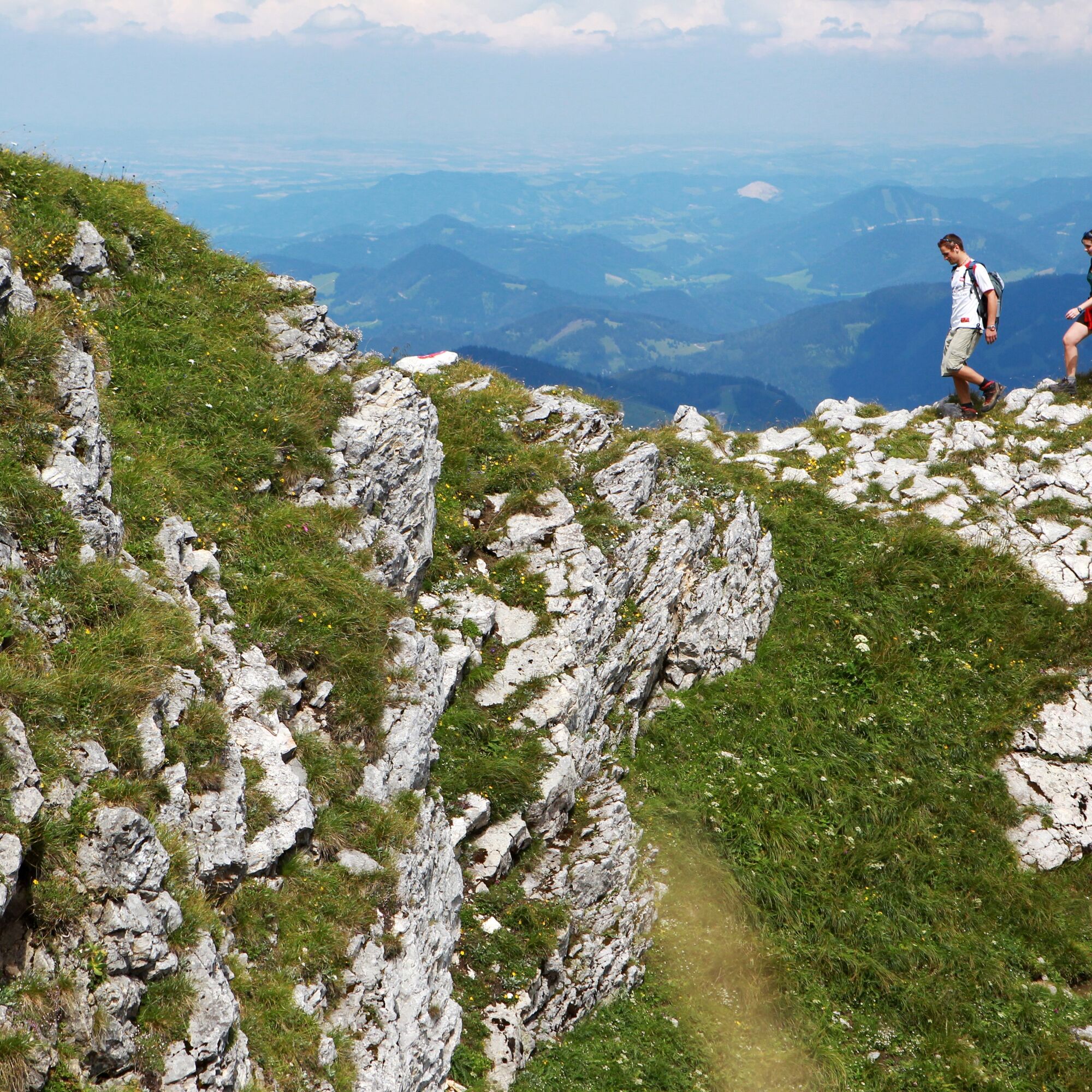
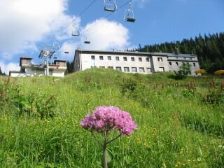
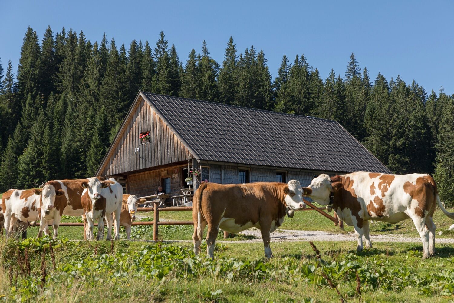

The starting point is the Mitterbach nature park entrance. Follow the path along the Erlauf reservoir to a junction with a forestry road. Turn left there towards Ötschergräben/Ötscherhias. Follow the signs "Ötscherhias" to the snack station and cross the bridge. Then turn left into the Ötschergräben, past Mirafall before the path turns right towards "Jägerherz." First follow the trail and then a forestry road up to Jägerherz and then continue along the path through the forest, past Geldloch and Taubenloch to the entry of the Rauher Kamm. Follow the ridge to the Ötscher summit, following the markings. From the summit cross, follow the signs towards Ötscherschutzhaus. From Ötscherschutzhaus, take the forestry road to the Riffelsattel and from there follow the marked trail via Feldwiesalm and Brachalm to Terzerhaus/Gemeindealpe. Then take the path down the ski slope to the valley and orient yourself towards the center of Mitterbach. From Mitterbach, follow the federal road out of town to the Mitterbach nature park entrance.
Tak
Sturdy footwear, hiking clothing and rain protection, drink
Everything needed for an overnight stay in Ötscherschutzhaus
By car
Coming from Linz: Autobahn A1; exit Ybbs; towards Wieselburg and Scheibbs (approx. 1.5 hours from Linz)
Coming from Vienna: Autobahn A1; exit St. Pölten via the Pielach valley (approx. 1.5 hours from Vienna)
From Styria: Coming from Graz: S35 towards Leoben up to the Bruck/Mur junction, B116 to Kapfenberg, B20 towards Mariazell
Take the Mariazell railway from St. Pölten to Mitterbach station
Parking spaces at the Mitterbach nature park entrance available for €5 per day!
Ötscher-Tormäuer Nature Park: www.naturpark-oetscher.at
Ötscherschutzhaus: www.gaming.gv.at/Oetscherschutzhaus
Terzerhaus: www.naturpark-oetscher.at/terzerhaus
Gemeindealpe Mitterbach: www.gemeindealpe.at
Mariazell railway: www.mariazellerbahn.at
Ötscher-Basis Wienerbruck Nature Park Center: www.oetscher-basis.at
Kamery internetowe z trasy
-
Mariazeller Bürgeralpe - Berggasthof
-
Zuckerwiese
-
Gemeindealpe Mittelstation
-
Eibenkogl Bergstation
-
Sternwarte
-
Mariazell
-
Gipfelbahn Bergstation
-
Gemeindealpe Mittelstation
-
Mittelstation Gemeindealpe
-
Gemeindealpe Talstation
-
Terzerhaus
-
Flugplatz St. Sebastian
-
Eibenkogl Bergstation
-
Eibenkogl Bergstation
-
Eibenkogl Bergstation
-
Snowpark Gemeindealpe
-
Birkihang
-
Terzerhaus
-
Hüttenkogl
-
Hüttenkogl
-
Hüttenkogl
-
Hüttenkogl
-
Hüttenkogl
-
Hüttenkogl
-
Hüttenkogl
-
Bürgeralpe - Kristallsee
-
Mariazeller Bürgeralpe - Berggasthof
-
Mariazell
-
Feldbauer Mariazell
-
Terzerhaus
-
Mittelstation
-
Mitterbach
-
Stapelhaus
-
Terzerhaus
-
Mariazell - Chalets Monte Styria
-
Hauptplatz
-
Basilika Mariazell
-
Flugplatz St. Sebastian
-
Zellerhüte - Mariazell
-
Talstation


Popularne wycieczki w okolicy
-
4,4
Das 3 Seen-Erlebnis (Lunzer See - Mittersee - Obersee)
średniWędrówka 9,33 km -
4,3
Rund um den smaragdgrünen Lunzer See
światłoWędrówka 4,80 km -
4,7
Gemeindealpe
średniWędrówka 13,5 km -
5,0
Von Lackenhof auf den Ötscher
światłoWędrówka 5,29 km -
4,9
Panoramic summit Maiszinken - alpine experience included
średniWędrówka 12,6 km -
4,9
Lassingfall - Ötscherhias - Erlaufklause
średniWędrówka 8,20 km -
4,9
Lackenhof ÖTSCHER Rauer Kamm 19.10.2014
ciężkiWędrówka 14,1 km -
4,8
Naturpark Ötscher-Tormäuer Wienerbruck
światłoWędrówka 6,06 km -
4,8
Trefflingfall über Hochbärneckhütte
średniWędrówka 12,2 km -
4,7
Erlaufsee-Rundweg
światłoWędrówka 5,37 km
Wędrówki i tropienie


Nie przegap ofert i inspiracji na następne wakacje
Twój adres e-mail została dodana do listy mailingowej.





