


Small Plambachecker Height hiking route
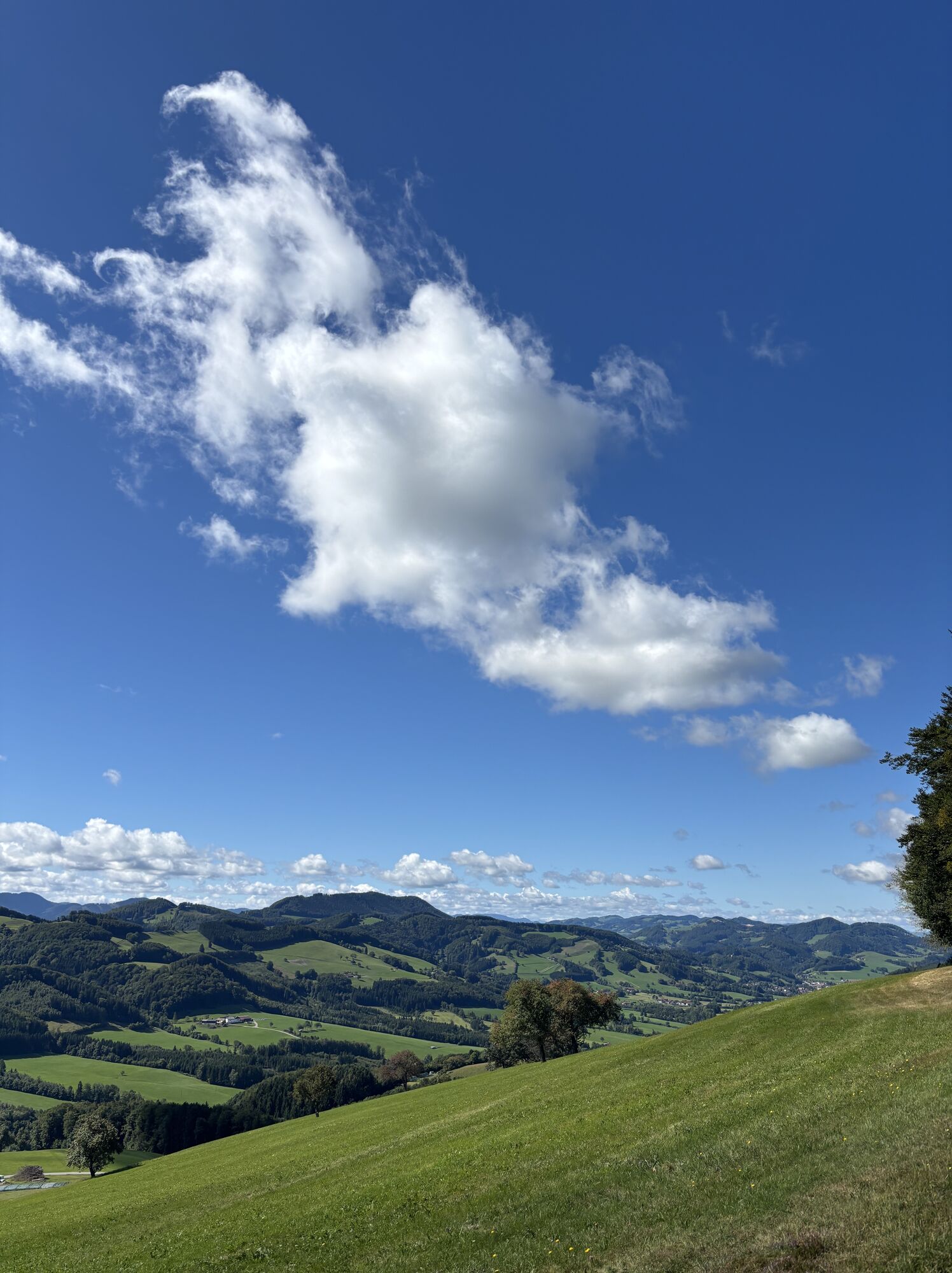
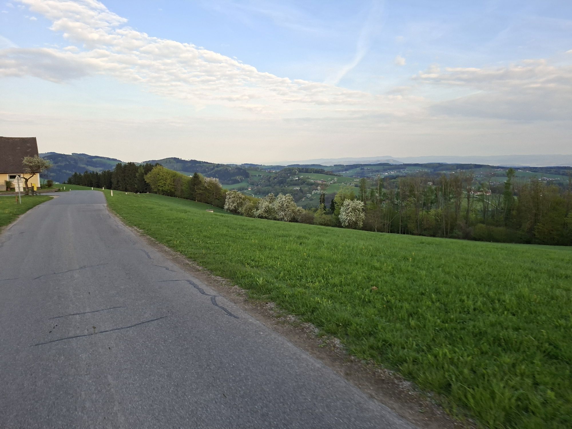
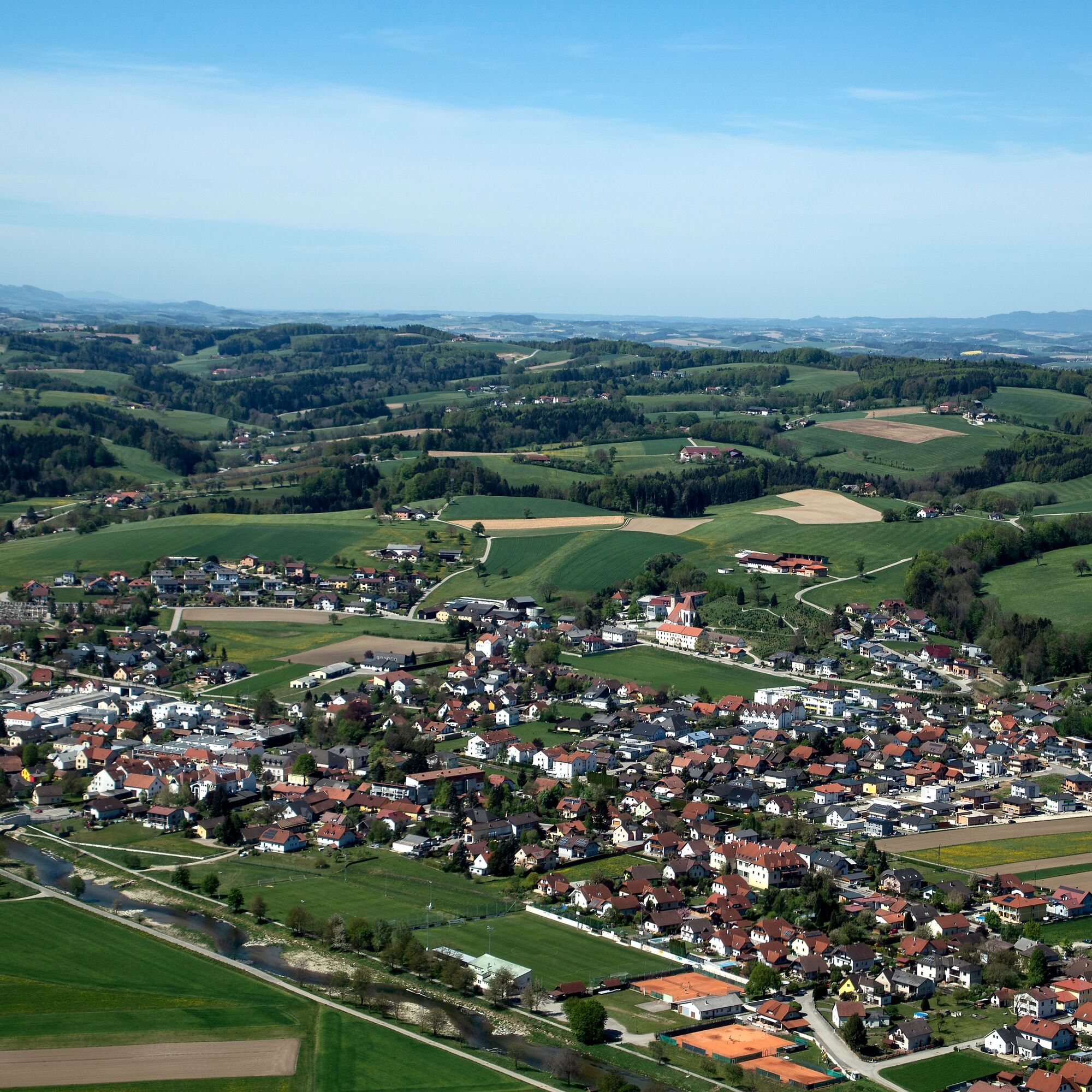
Hike to the highest point of Hofstetten-Grünau with magnificent views over the Alpine foothills to the Ötscher and the Danube valley.

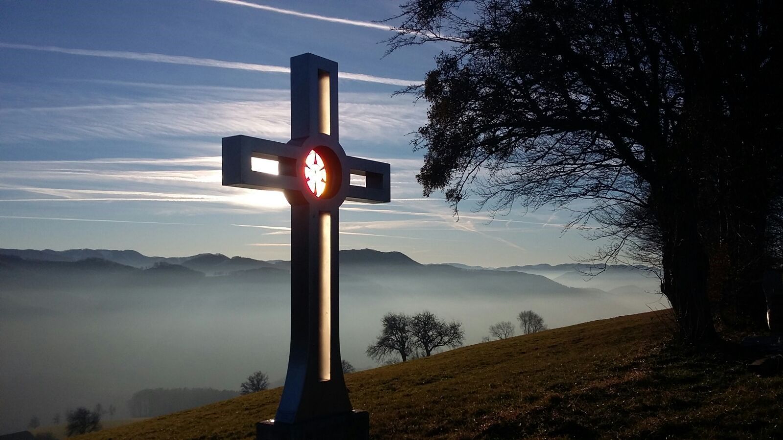
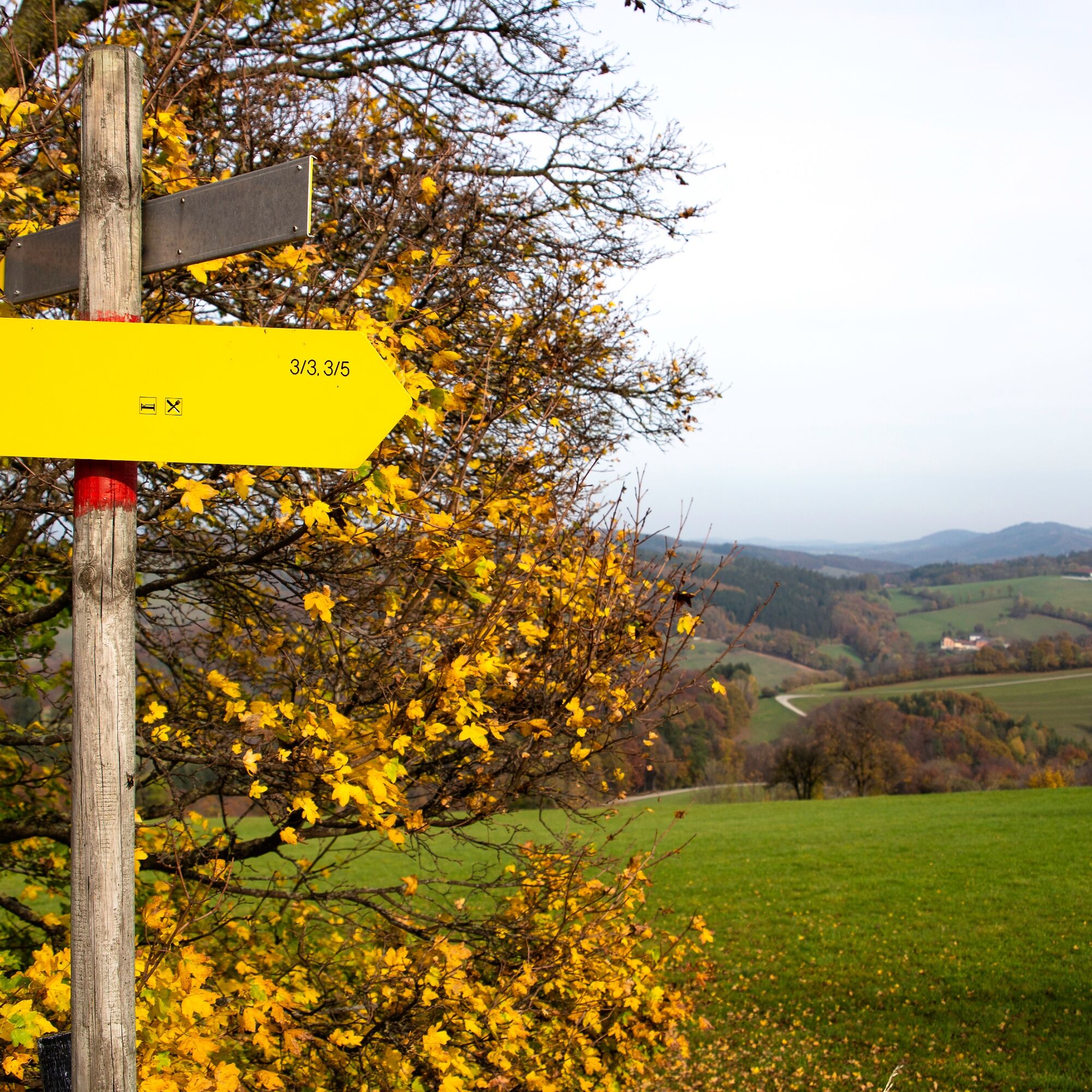
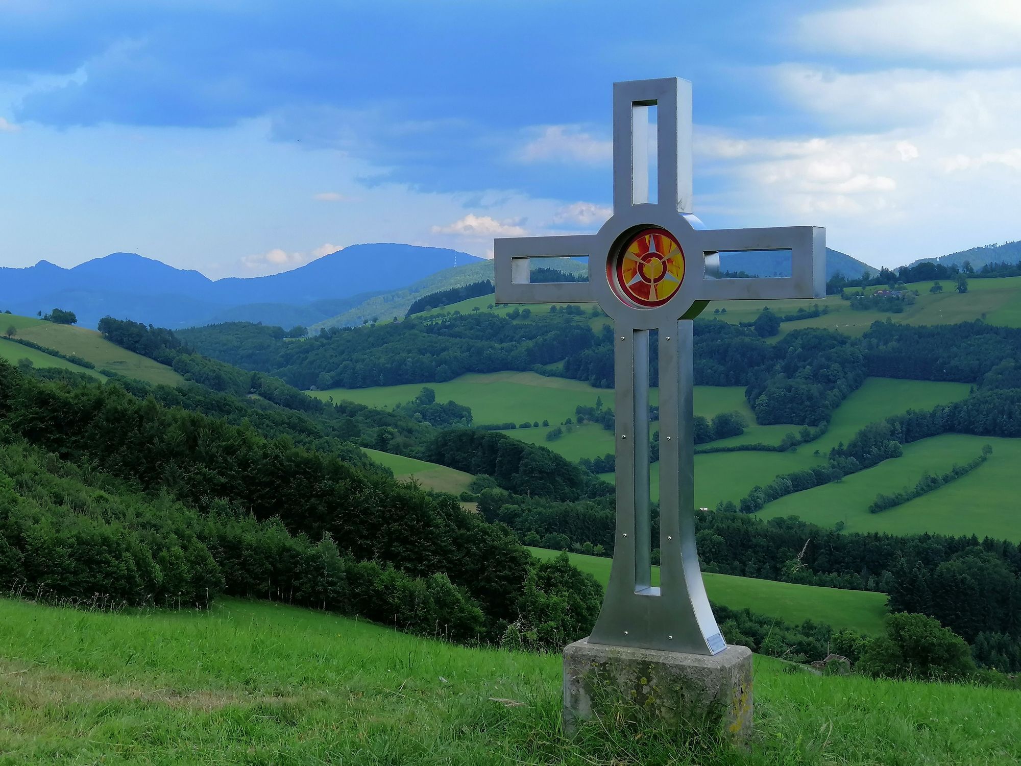
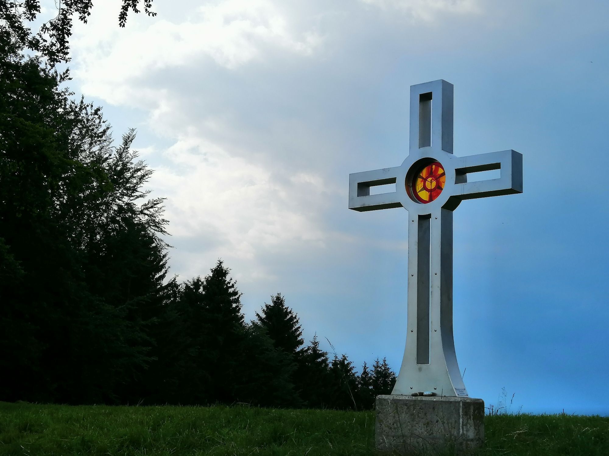
From the Hofstetten-Grünau train station, we go right along Grünauer Straße towards B39 – town center. From the main square at the citizen and community center, we continue along Kabatsbergerstraße following the signs for hiking trails 3/3 and 3/5. We cross the Pielach river and turn right after the bridge. After a short climb, we turn left onto Gabetsbergerstraße and follow the forestry road to Materl. There, we follow the signs for trails 3/3 and 3/5 and quickly gain altitude. We pass the Plambacheck 1 property, cross the forestry road, and arrive at the Muhr farmstead (the highest farm in Hofstetten-Grünau). Continuing to follow the markings, we walk along the pastures and steeply ascend in the woods following the signs. At the top, we turn left and soon reach a clearing where a bench and a cross are located. This is the Plambachecker Height, where we enjoy the beautiful view, sit on the bench, and observe the cross of local heritage research erected by the association on the Plambachecker Height.
The return follows hiking trails 3/3 and 3/5 westward to Plambacheck. At the Hofbauer farm, we reach the Plambacheck forestry road, which we follow to the second to last hairpin turn. There, we turn right and follow the signs for trail 3/3 along the Pielach river back to the Pielach bridge into the town center. At the citizen and community center, we cross the B39 and go left past the Strohmaier guesthouse through the alley into Marktstraße. At the crossroads
Good footwear and provisions
Follow the B39 towards Mariazell. In the village of Hofstetten Grünau, turn right following the "Bahnhof" (train station) sign.
Take the Mariazellerbahn from St. Pölten towards Mariazell. The stop is the Hofstetten-Grünau train station.
Train station parking lot
Popularne wycieczki w okolicy
-
4,9
Hohenstein von Sois
średniWędrówka 12,0 km -
4,6
LILIENFELD Grünes Tor Muckenkogel Hinteralm Klosteralm 20201025
średniWędrówka 11,7 km -
4,4
Hohenstein 1195m - Sois im Pielachtal
światłoWędrówka 10,6 km -
4,4
Kaiserkogel mit Start und Ziel in Eschenau
światłoWędrówka 10,2 km -
4,5
Rundweg Ochsenburgerhütte
światłoWędrówka 7,60 km -
4,7
Kaiserkogel
światłoWędrówka 6,03 km -
4,8
Schrambach Hohenstein Himmel Schrammbach 06.08.2016
średniWędrówka 17 km -
4,3
Lorenzipechkogel - Schneerosenwarte
średniWędrówka 10,2 km -
4,0
Geisbühel-Runde
światłoWędrówka 13 km -
4,3
Lilienfeld Kolm Hinteralm Traisenhütte 20.02.2017 leichte Schitour
światłoWycieczka narciarska 11 km
Wędrówki i tropienie


Nie przegap ofert i inspiracji na następne wakacje
Twój adres e-mail została dodana do listy mailingowej.