


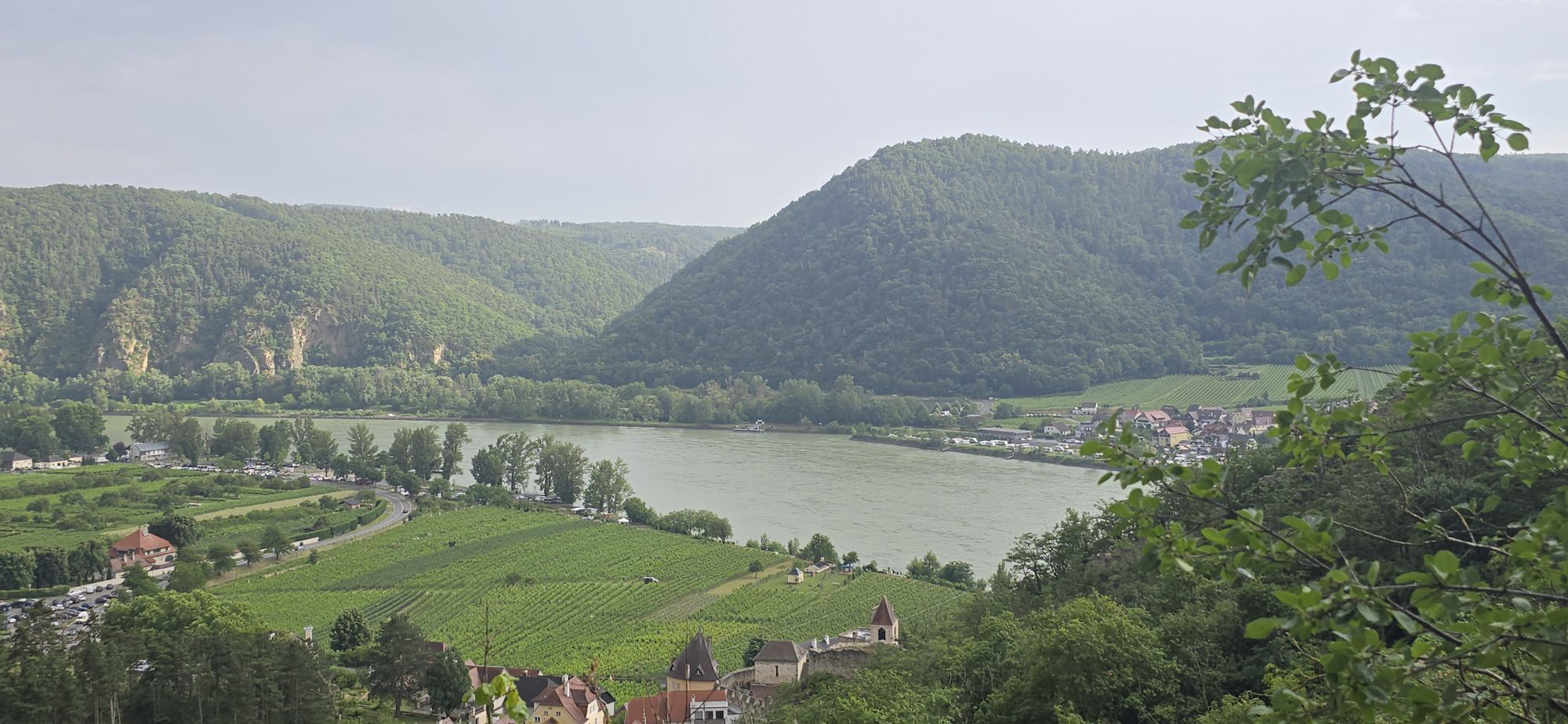
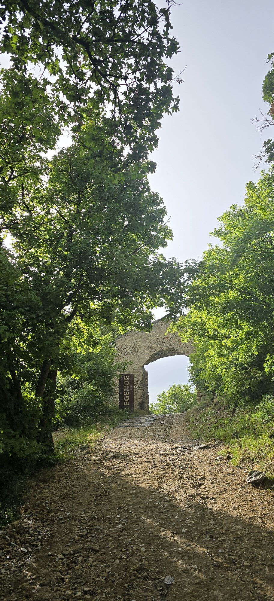
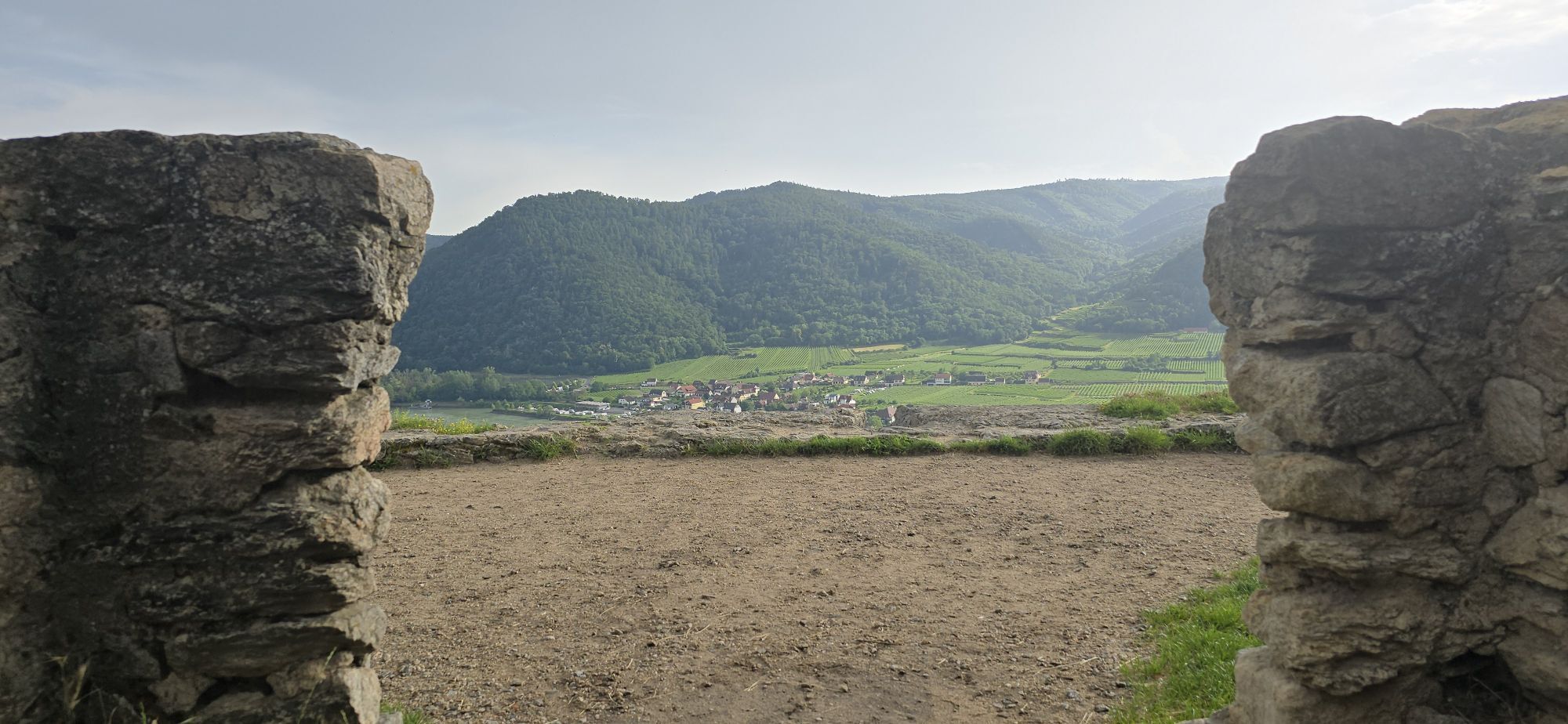
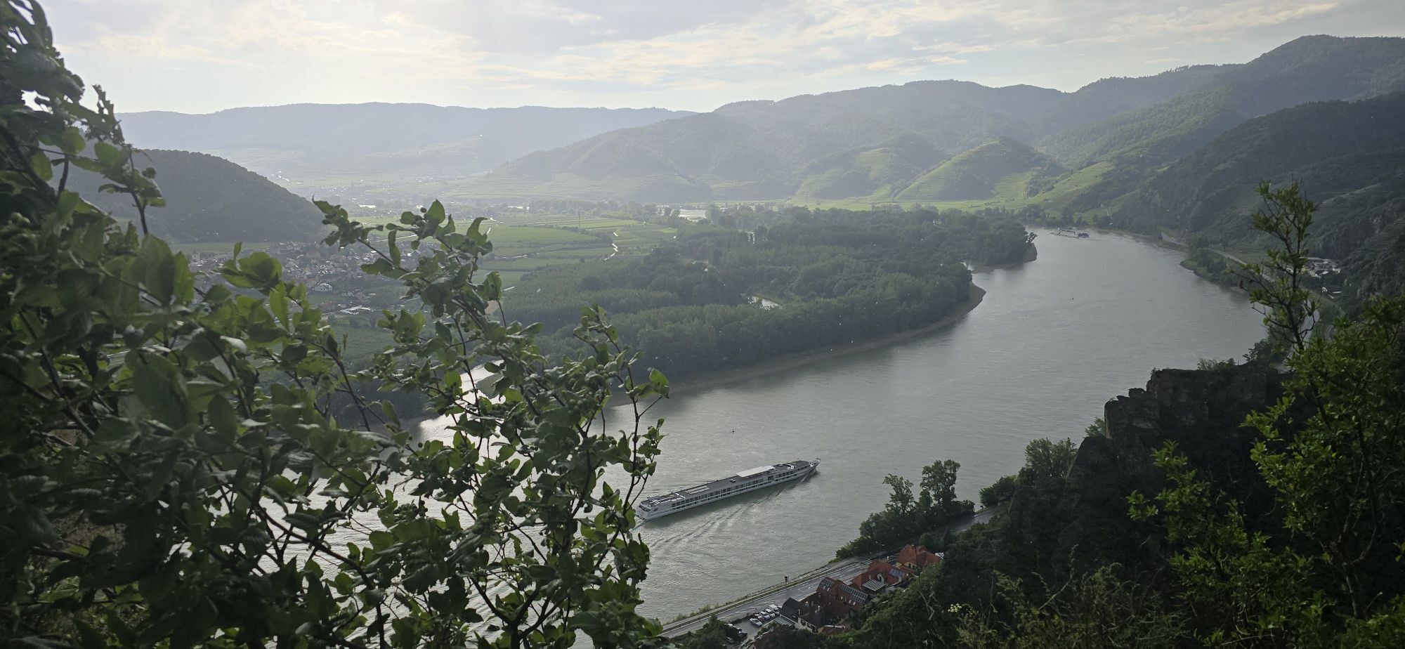
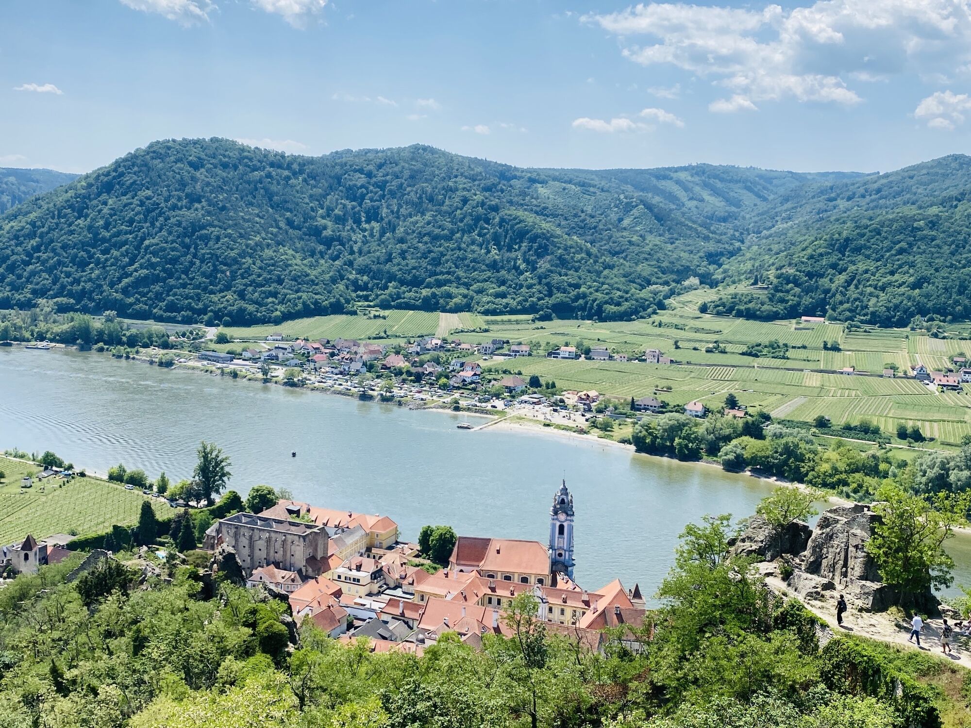
Spectacular Dürnstein route
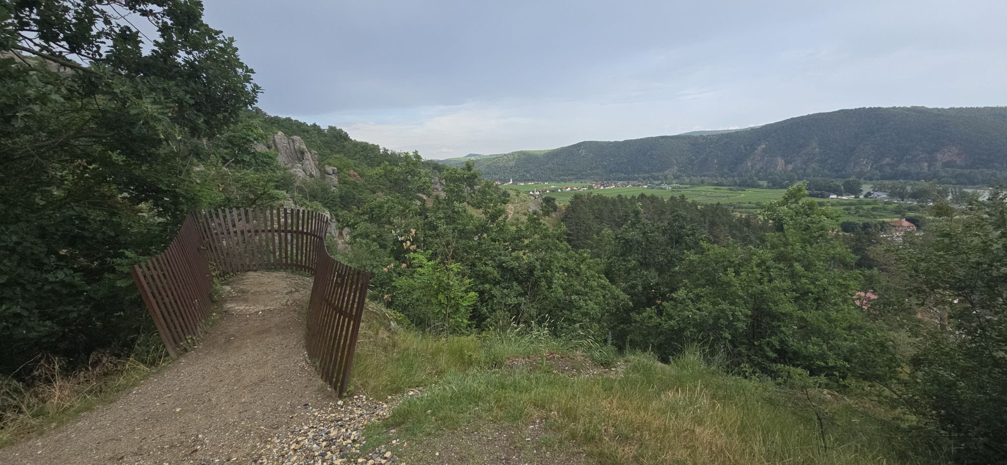
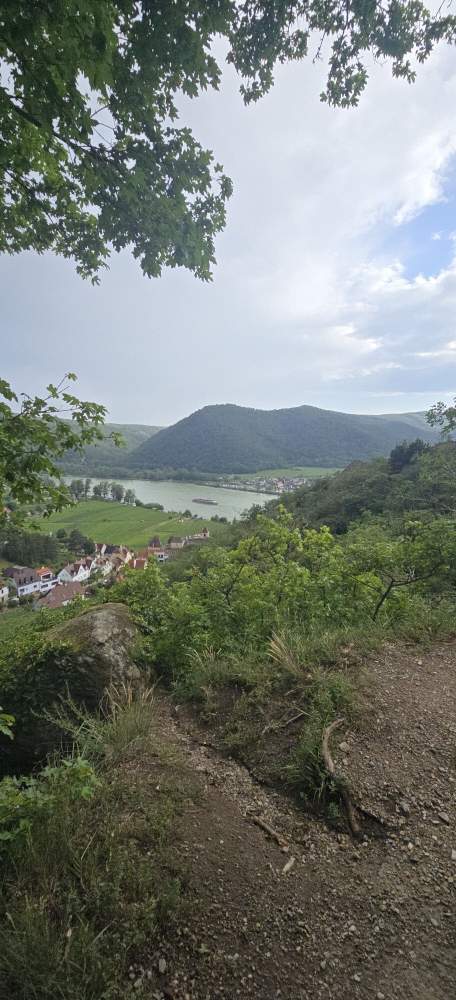
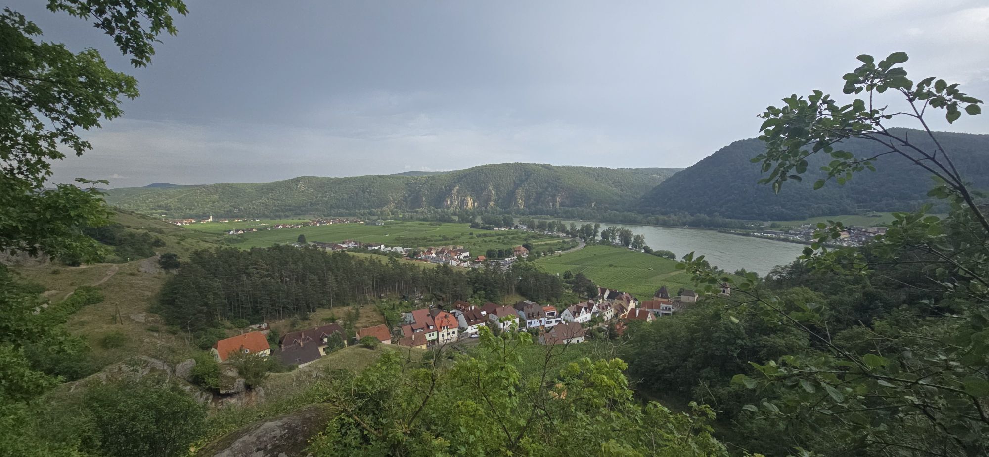
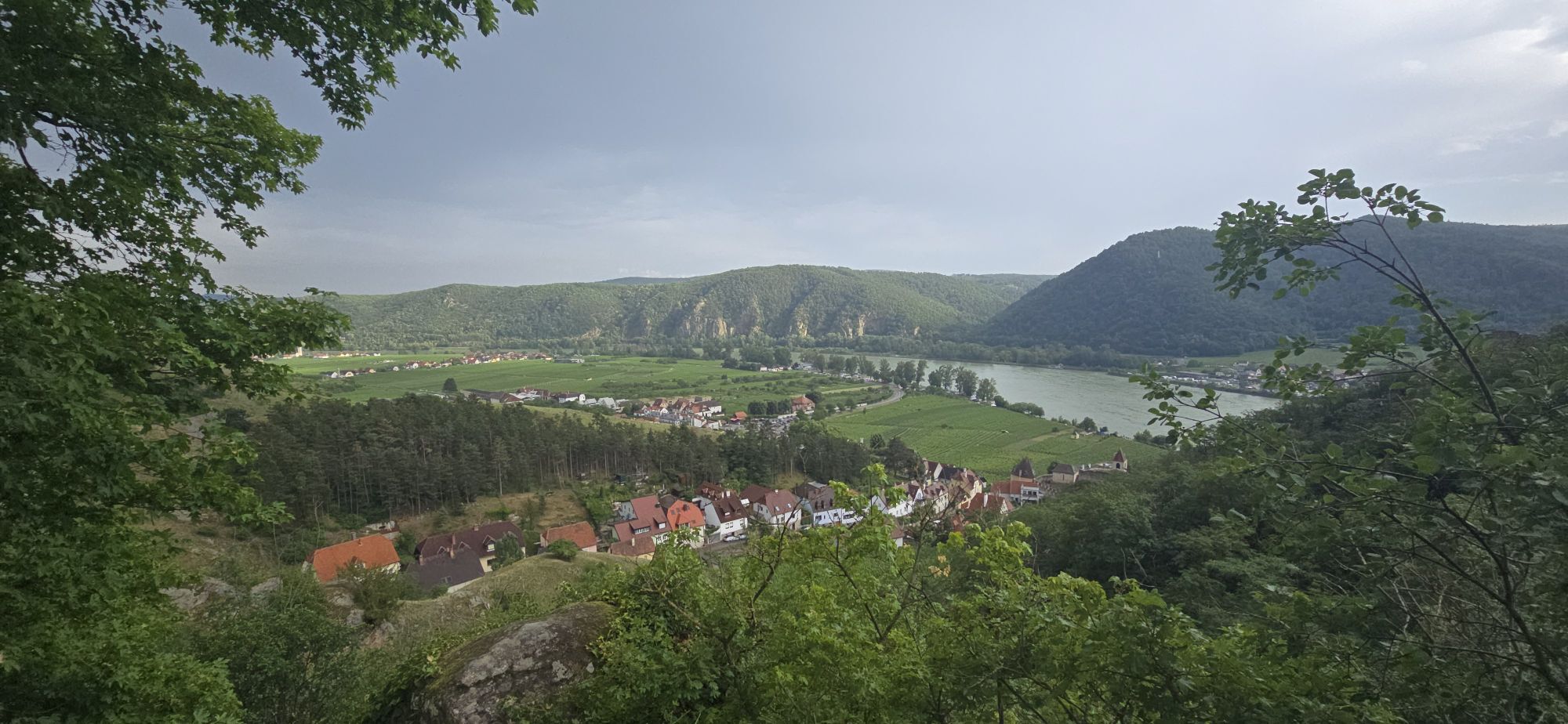


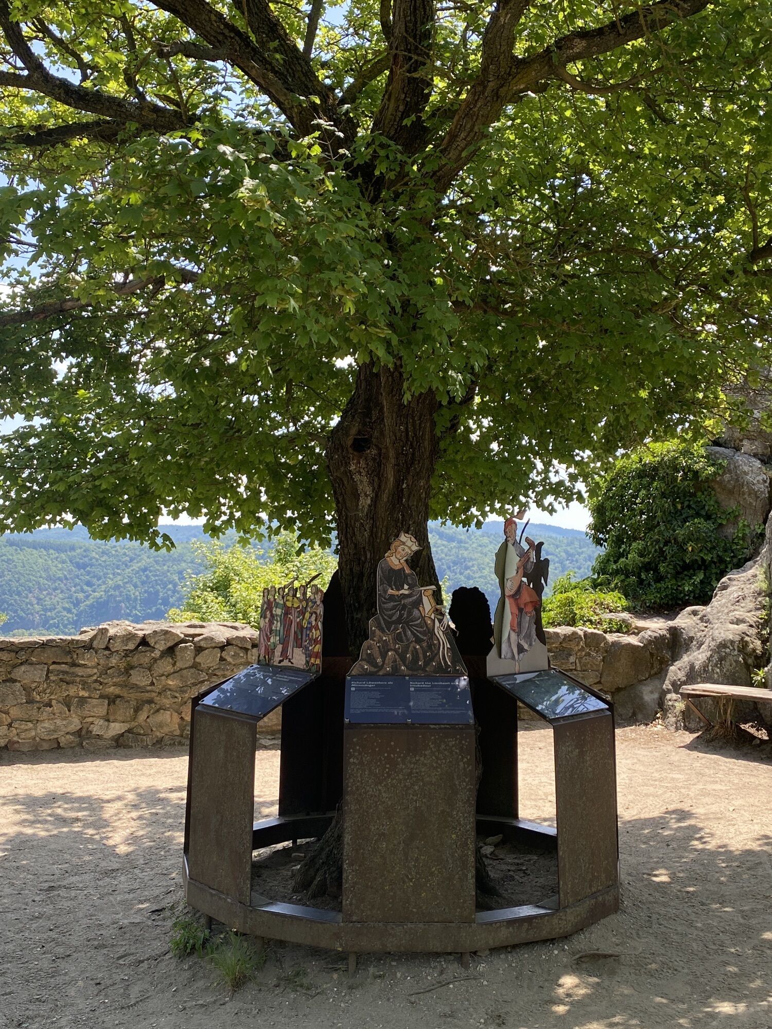
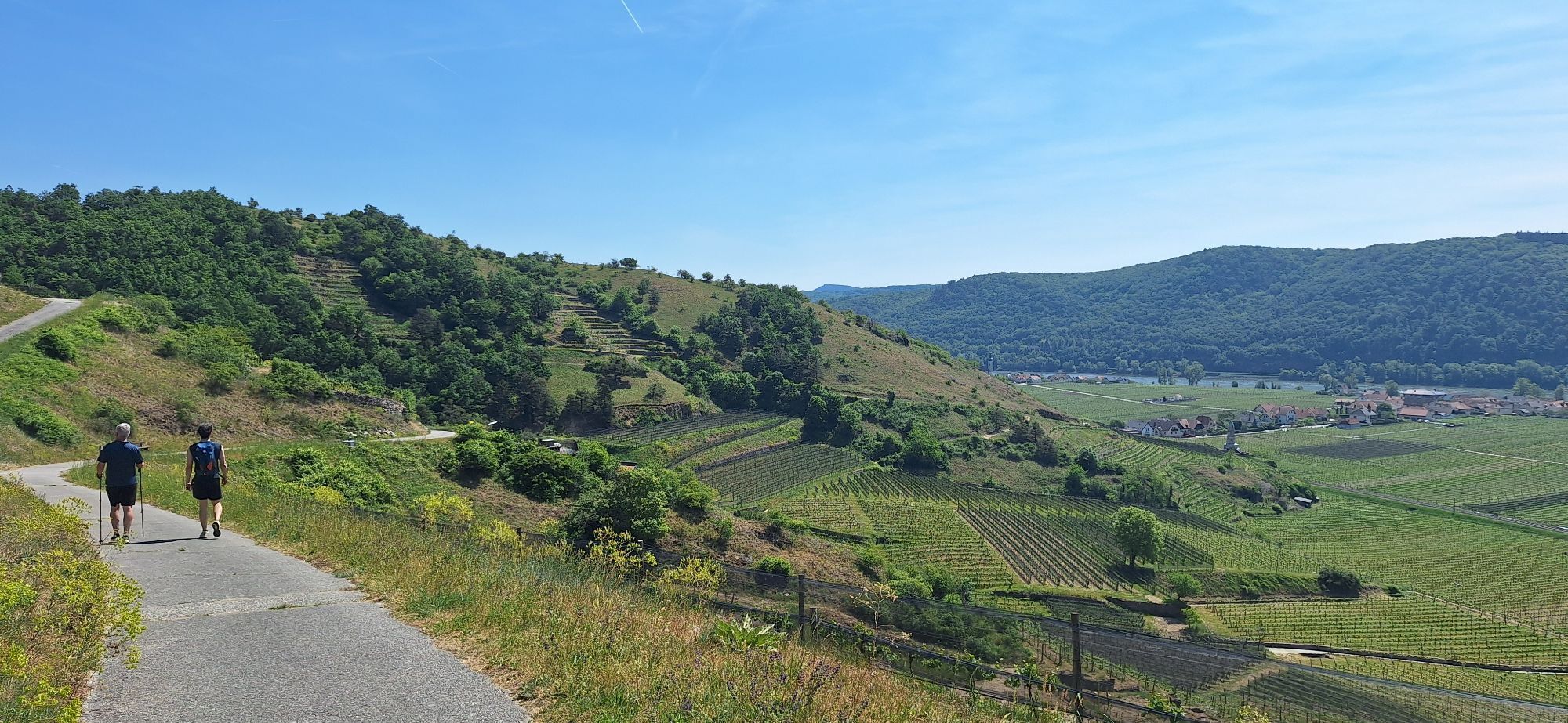
This leisurely walk allows you to discover the city and its impressive surroundings through 10 of the 23 stations.

Follow the colorful guidance system that surely shows you the best way through the town and surrounding landscape and ensures you do not miss any highlight along the route.
A1 to St. Pölten junction, then continue on S33 and B3 via Krems to Dürnstein.
Mit Bahn & Bus:
Der nächstgelegene größere Bahnhof ist Krems an der Donau, der regelmäßig von Zügen aus Wien, St. Pölten und dem Waldviertel angefahren wird. Vom Bahnhof Krems gelangt man mit VOR-Regionalbussen mehrmals täglich direkt nach Dürnstein. www.vor.at
Wachaubahn: Die Wachaubahn fährt in der Saison regelmäßig von Krems nach Dürnstein. www.wachaubahn.at
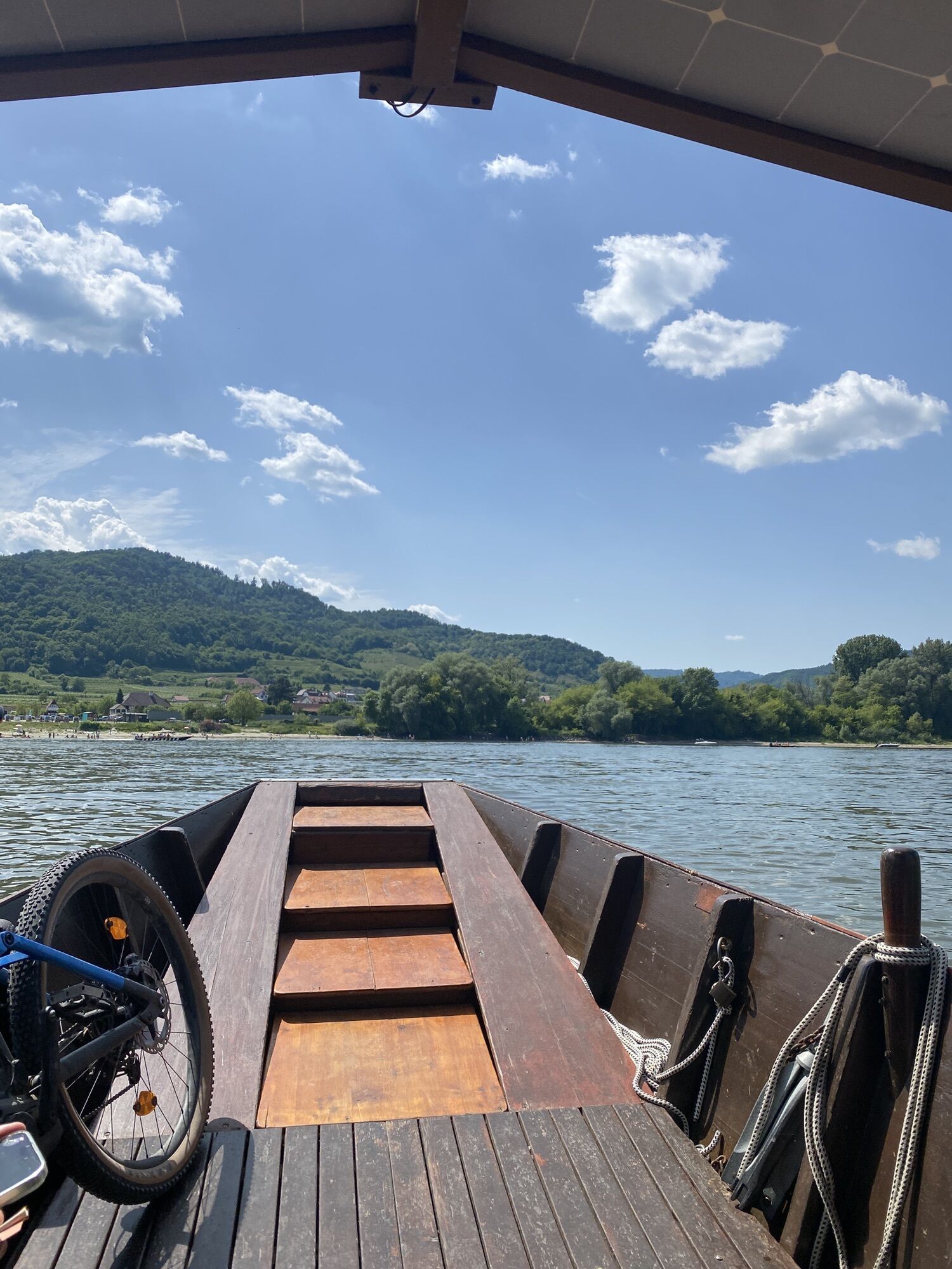
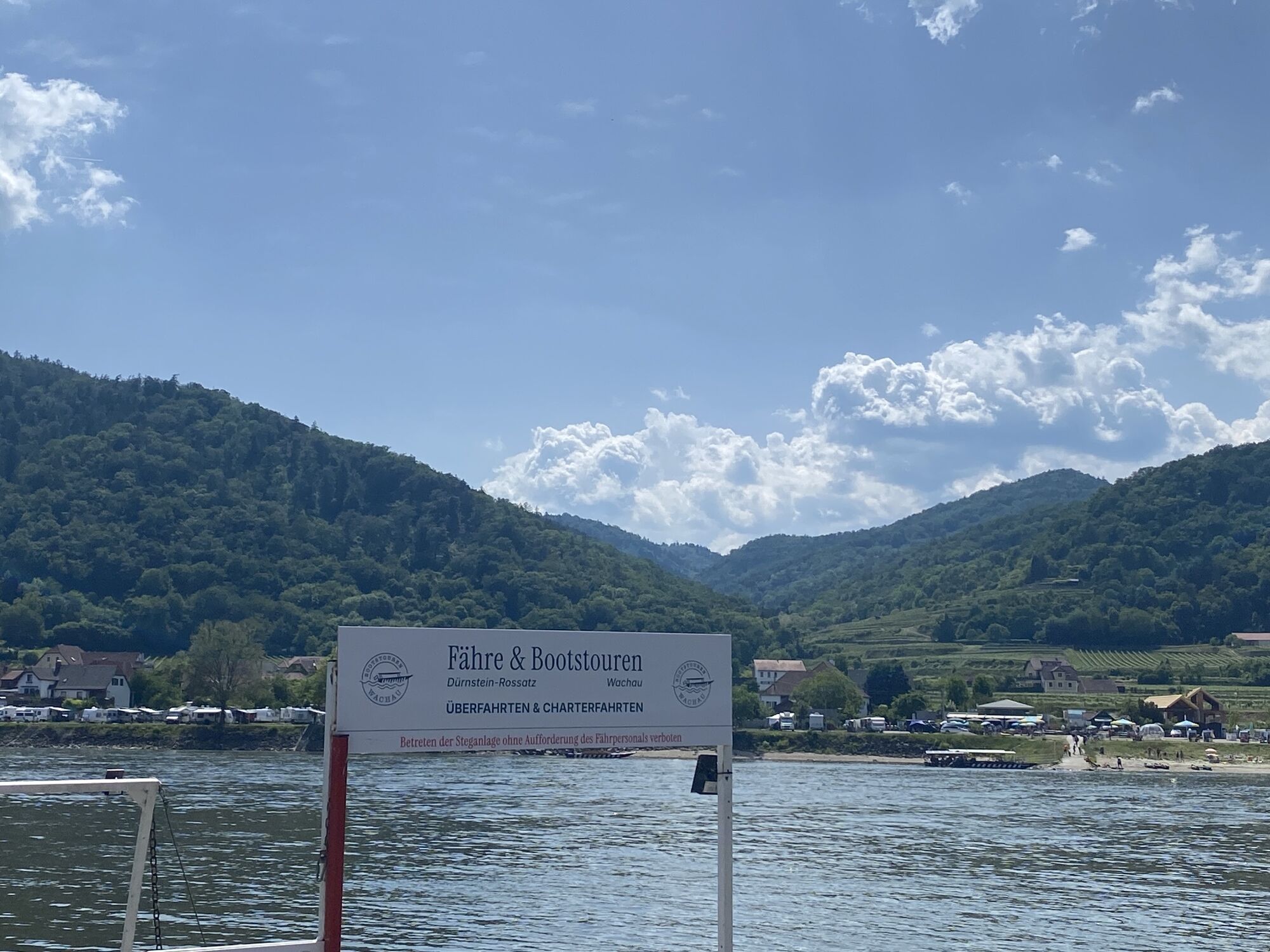
Mit dem Schiff (saisonal):
In der Saison ist Dürnstein auch per Donauschifffahrt erreichbar – etwa mit der DDSG Blue Danube ab Krems oder Melk.https://ddsg-blue-danube.at/
Outside Dürnstein, there are five large paid parking lots. The town center of Dürnstein is reachable within 5 to 10 minutes on foot.
In the Dürnstein city map and on the overview boards at the parking lots as well as at the train station, you will find a list of the best addresses and sights of Dürnstein and Loiben.
Contact: Dürnstein municipal office
3601 Dürnstein Nr. 25, Tel: 02711 219, office@duernstein.gv.at
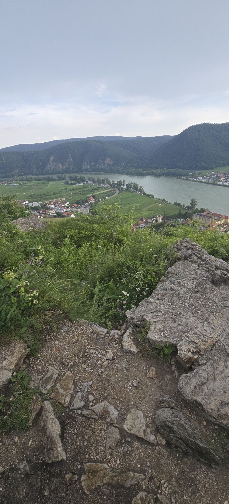
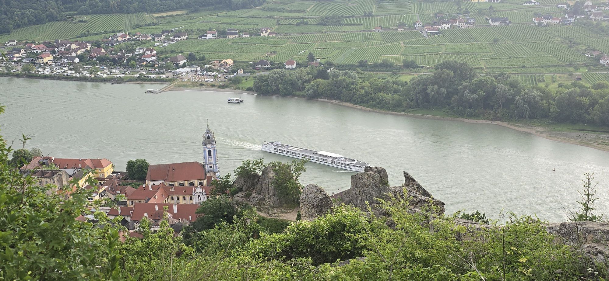
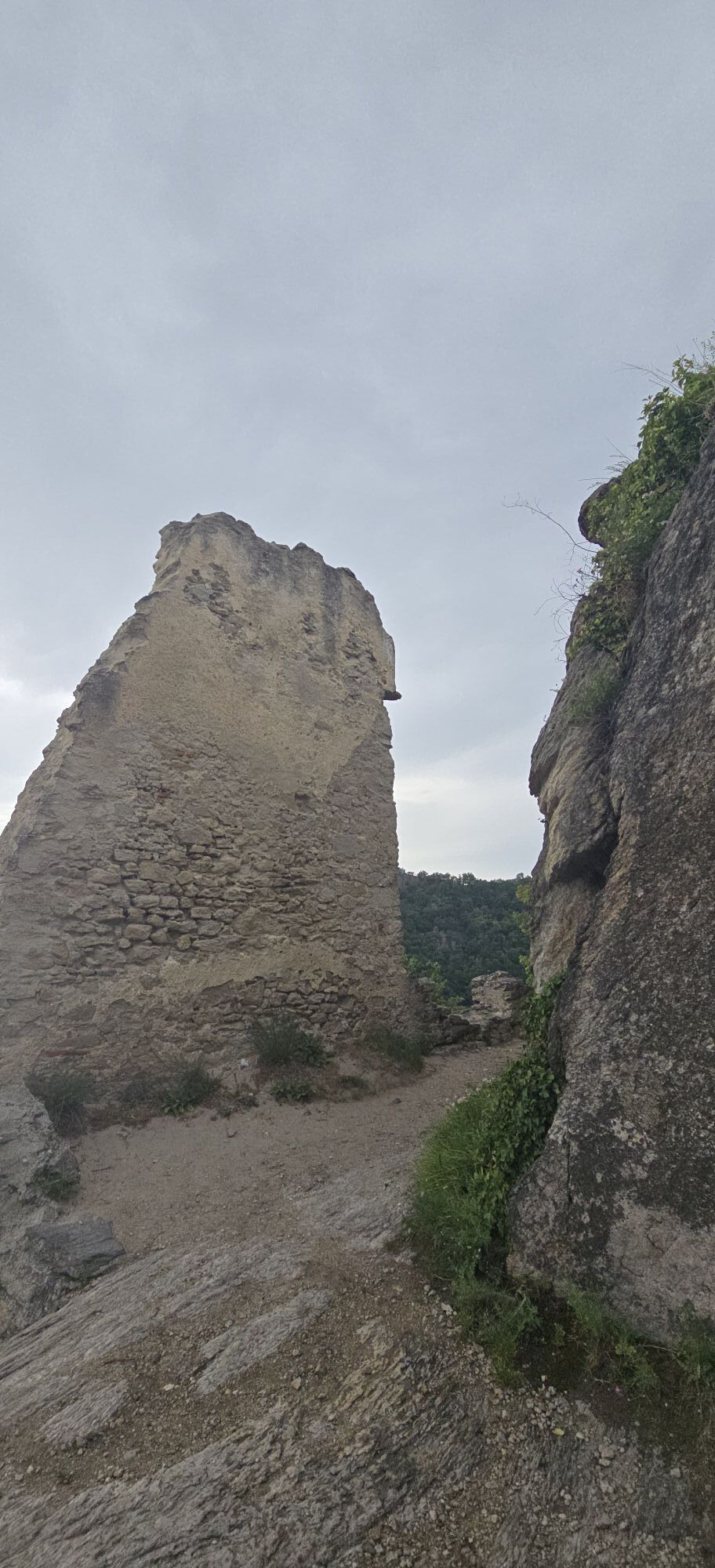
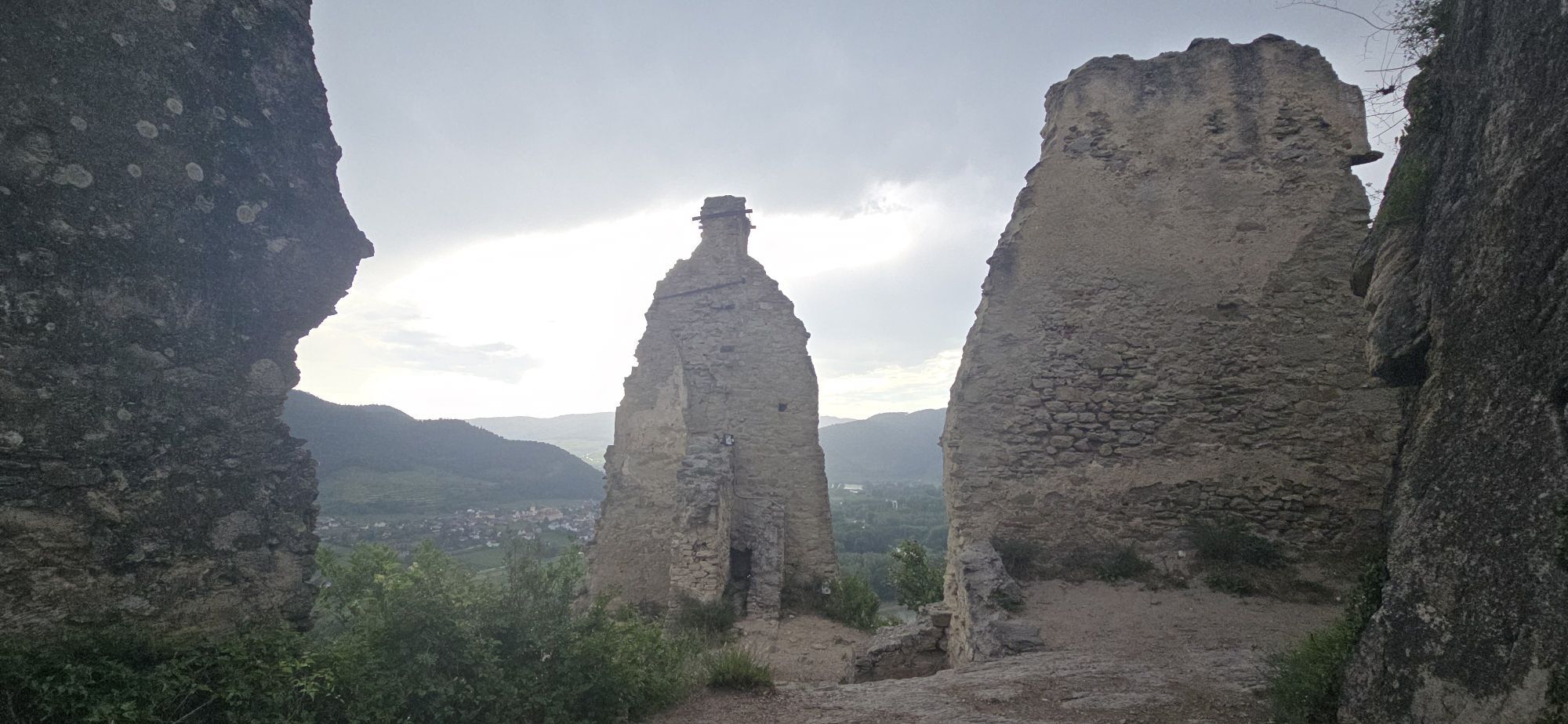
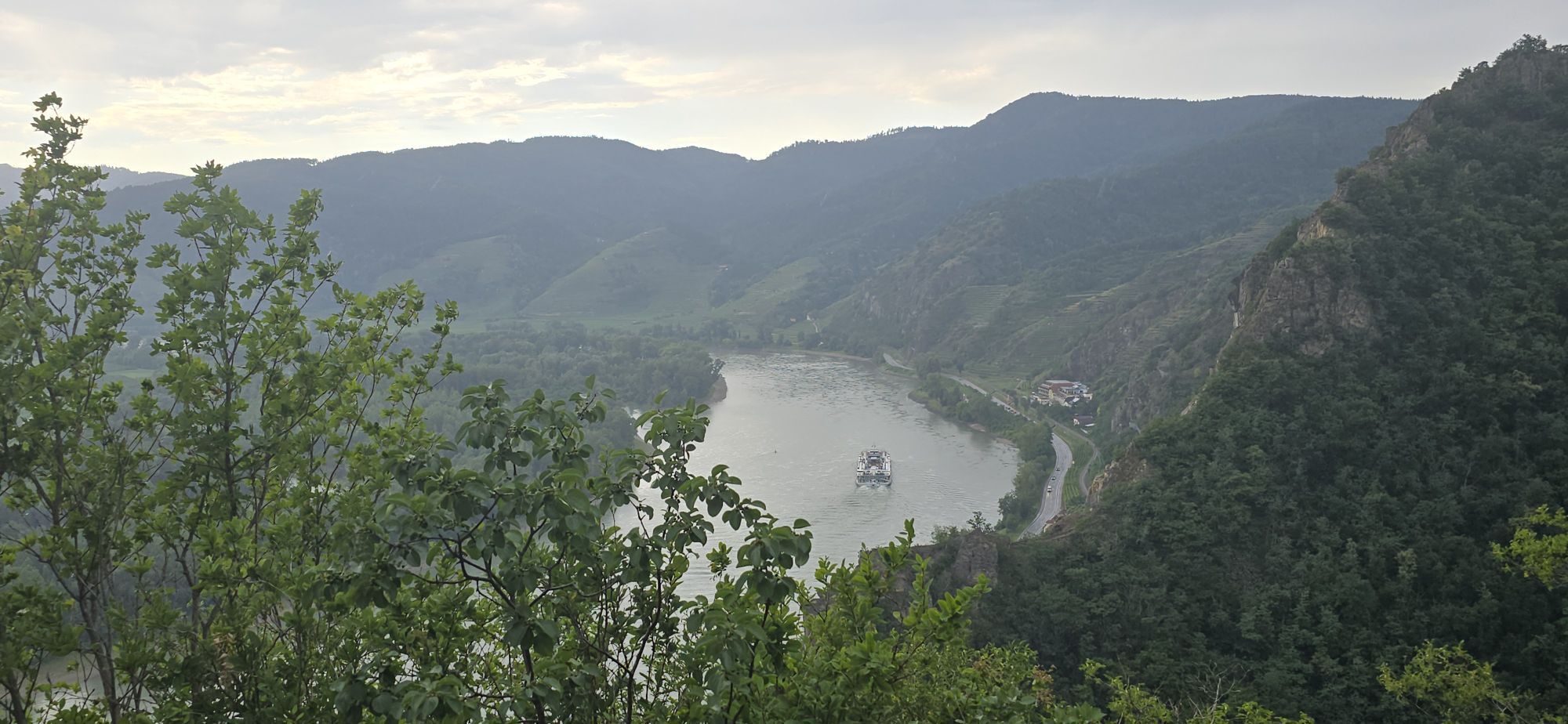
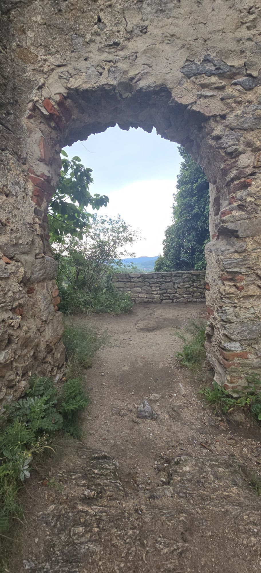
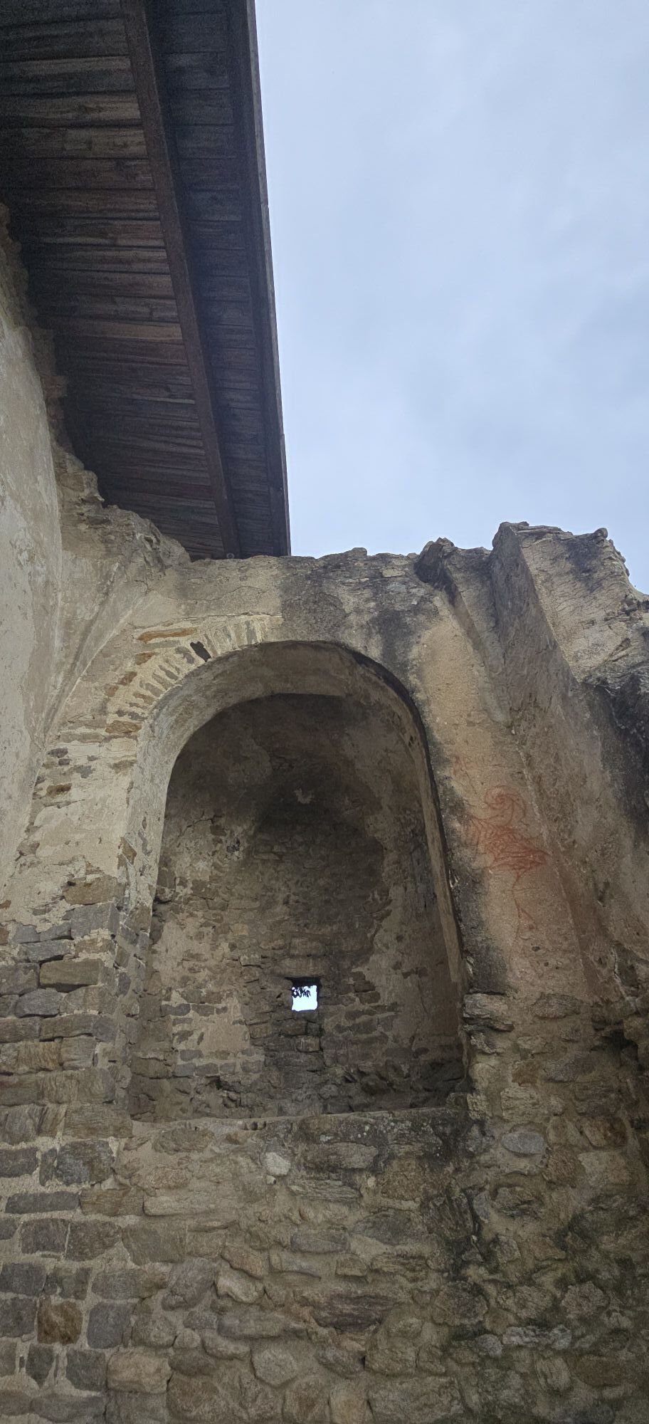
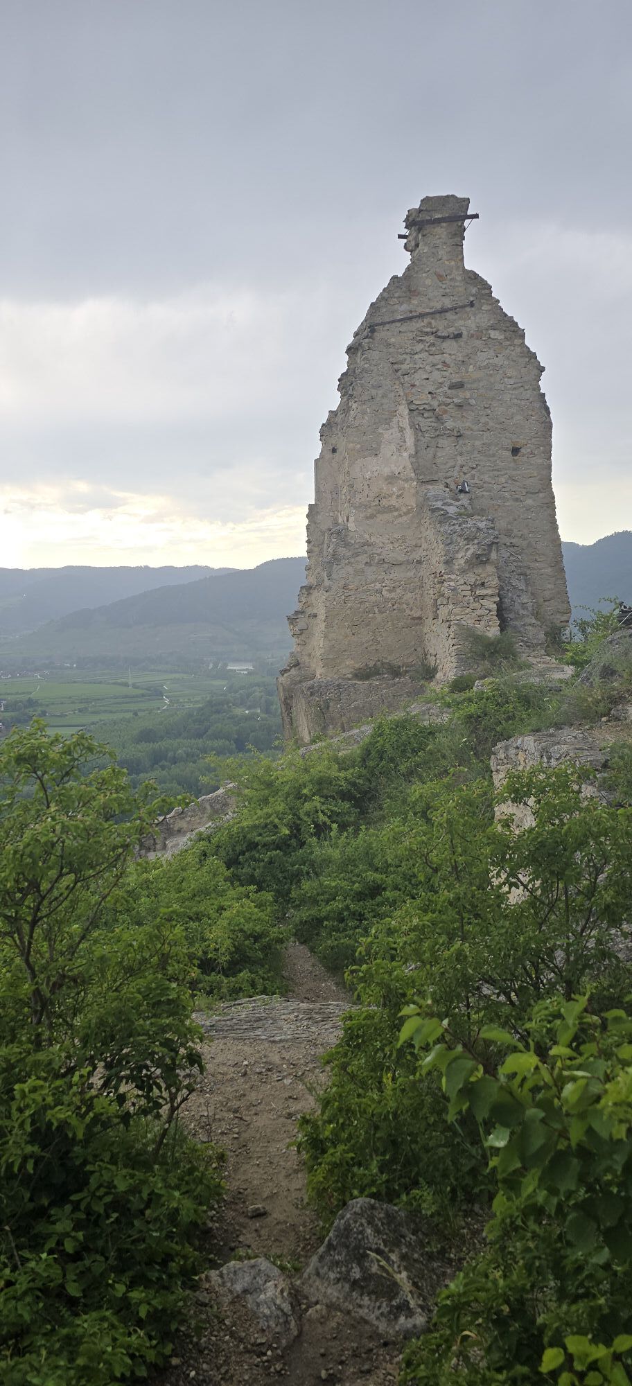
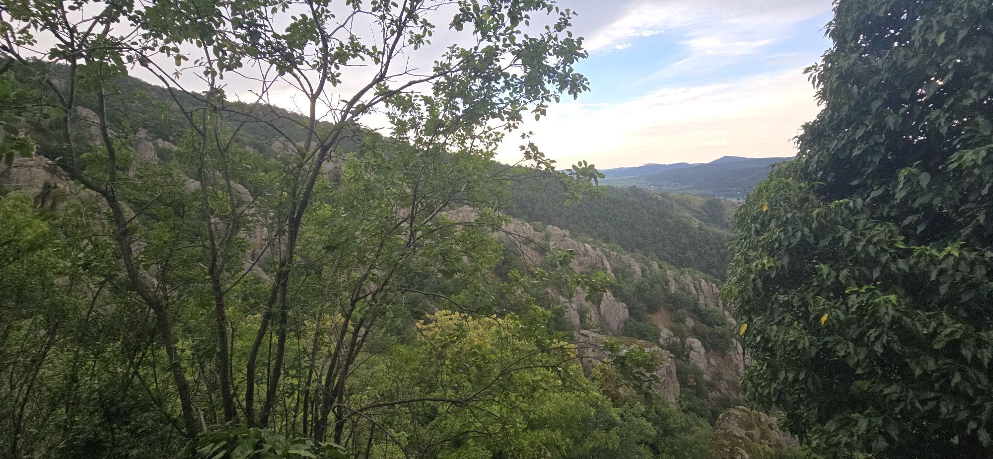
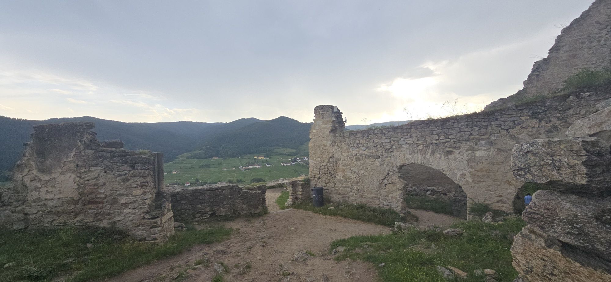
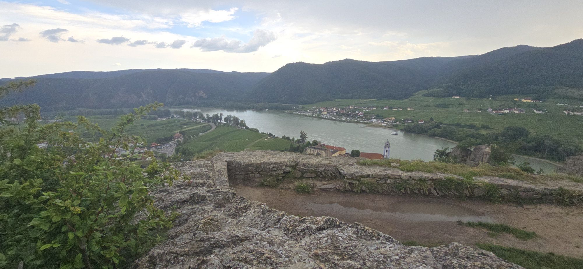
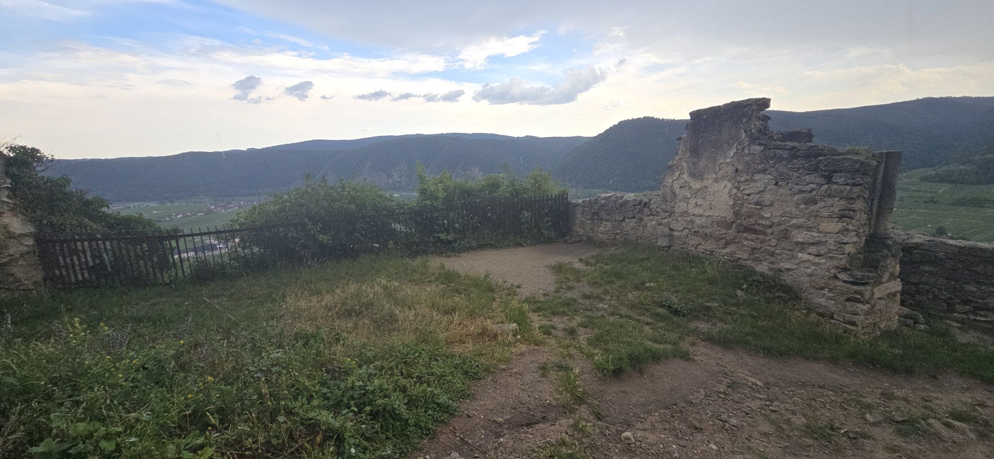
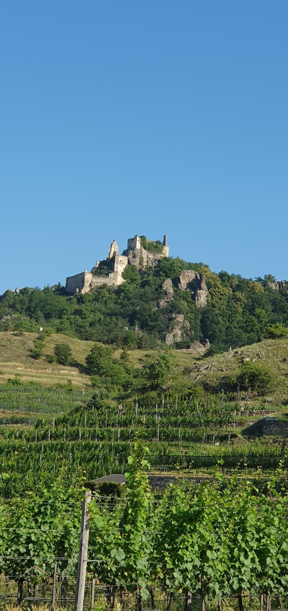
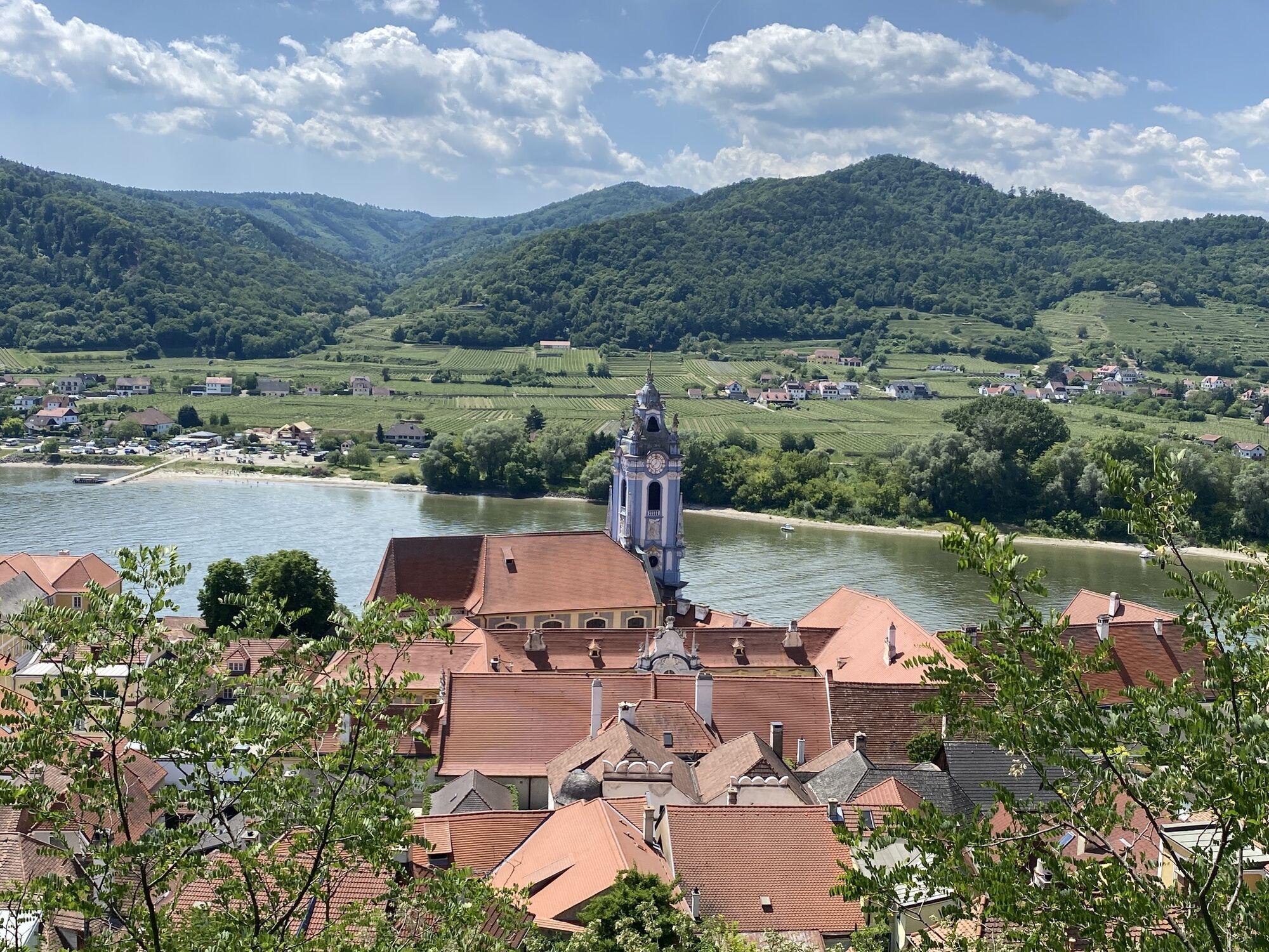
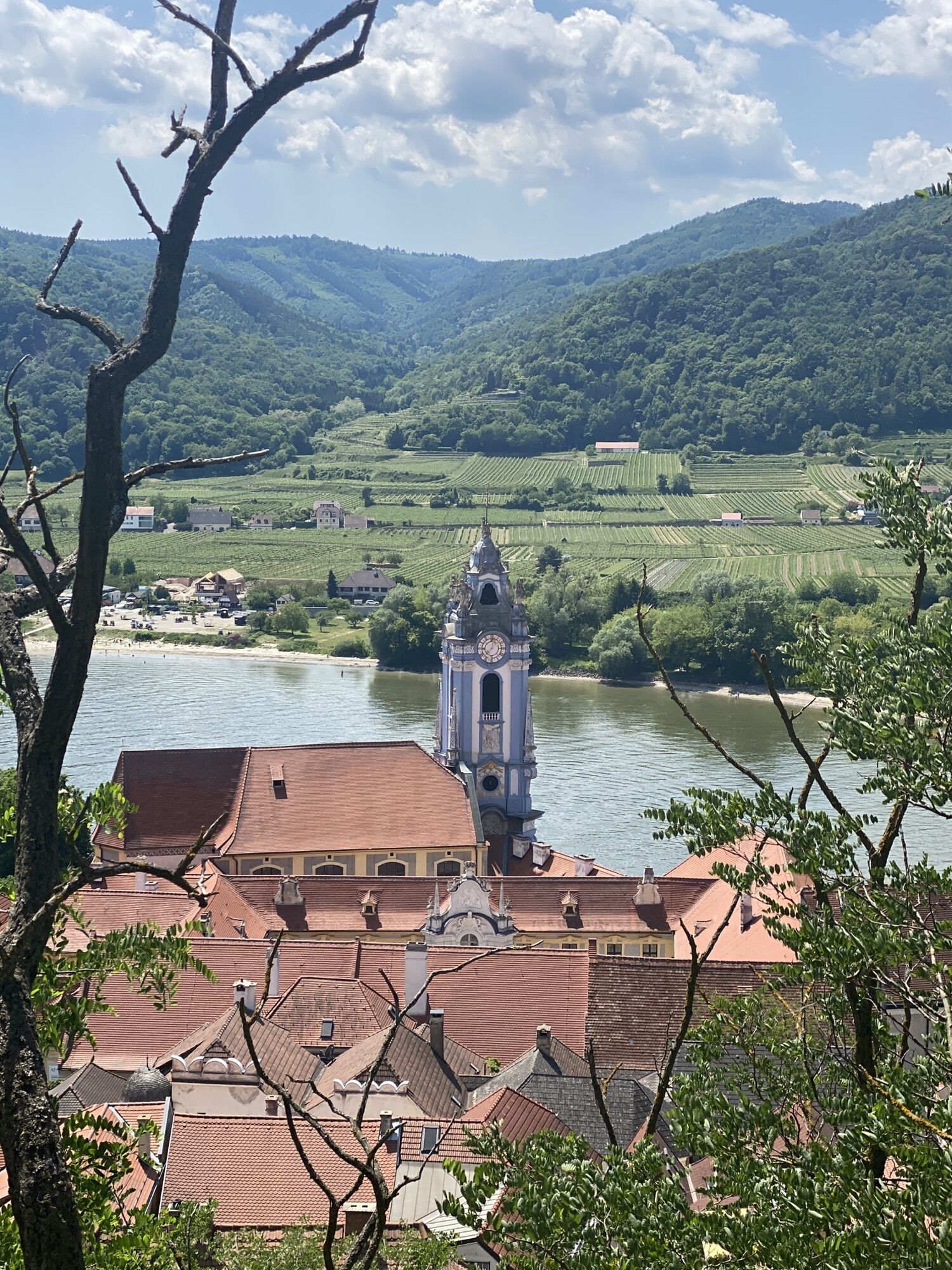
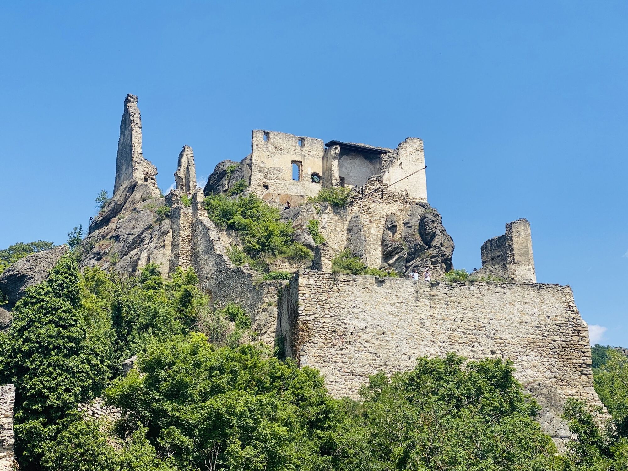
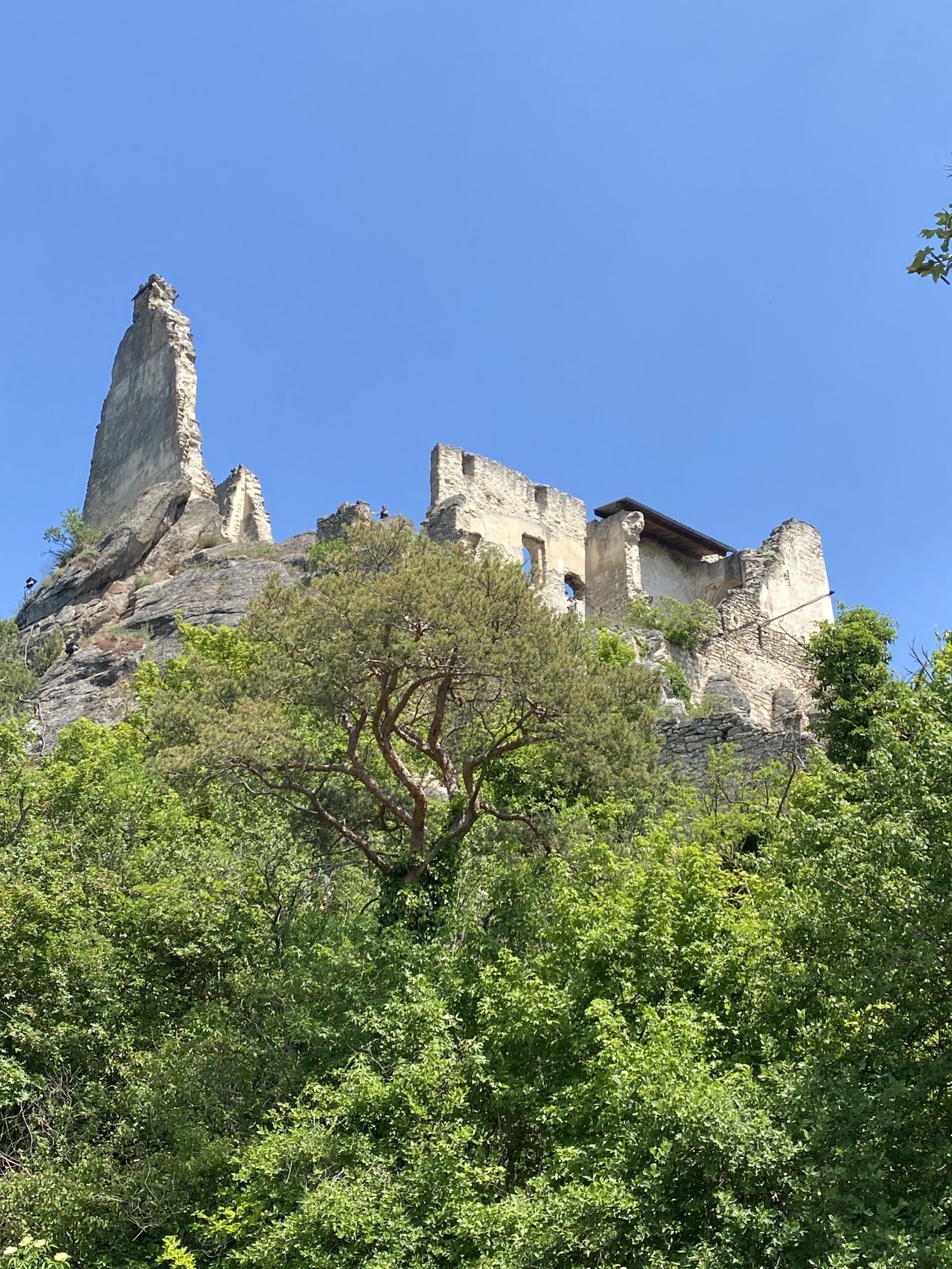
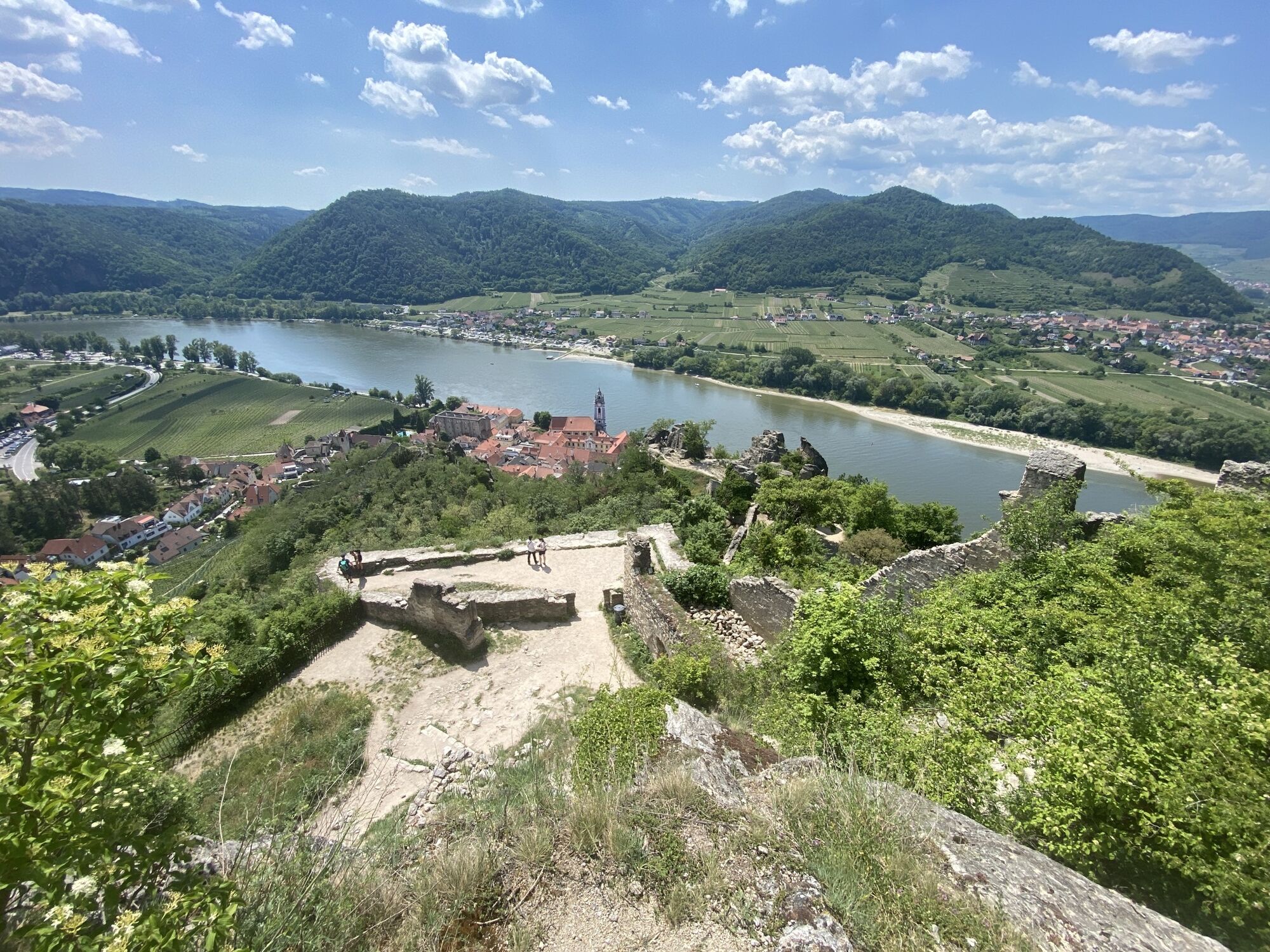
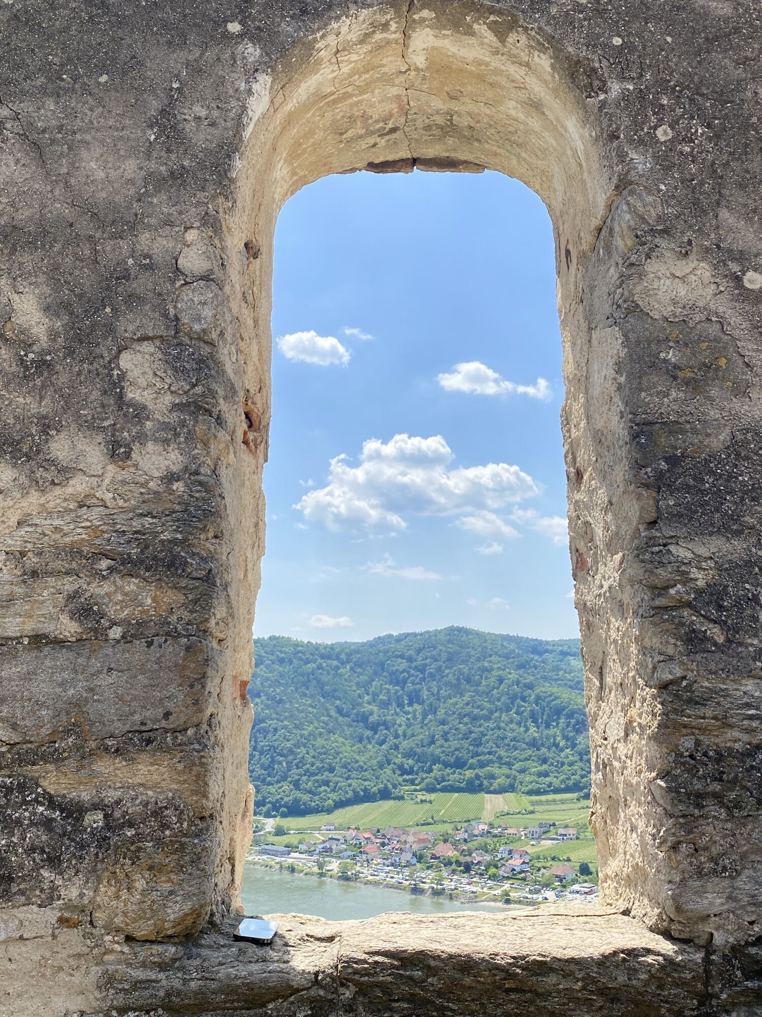
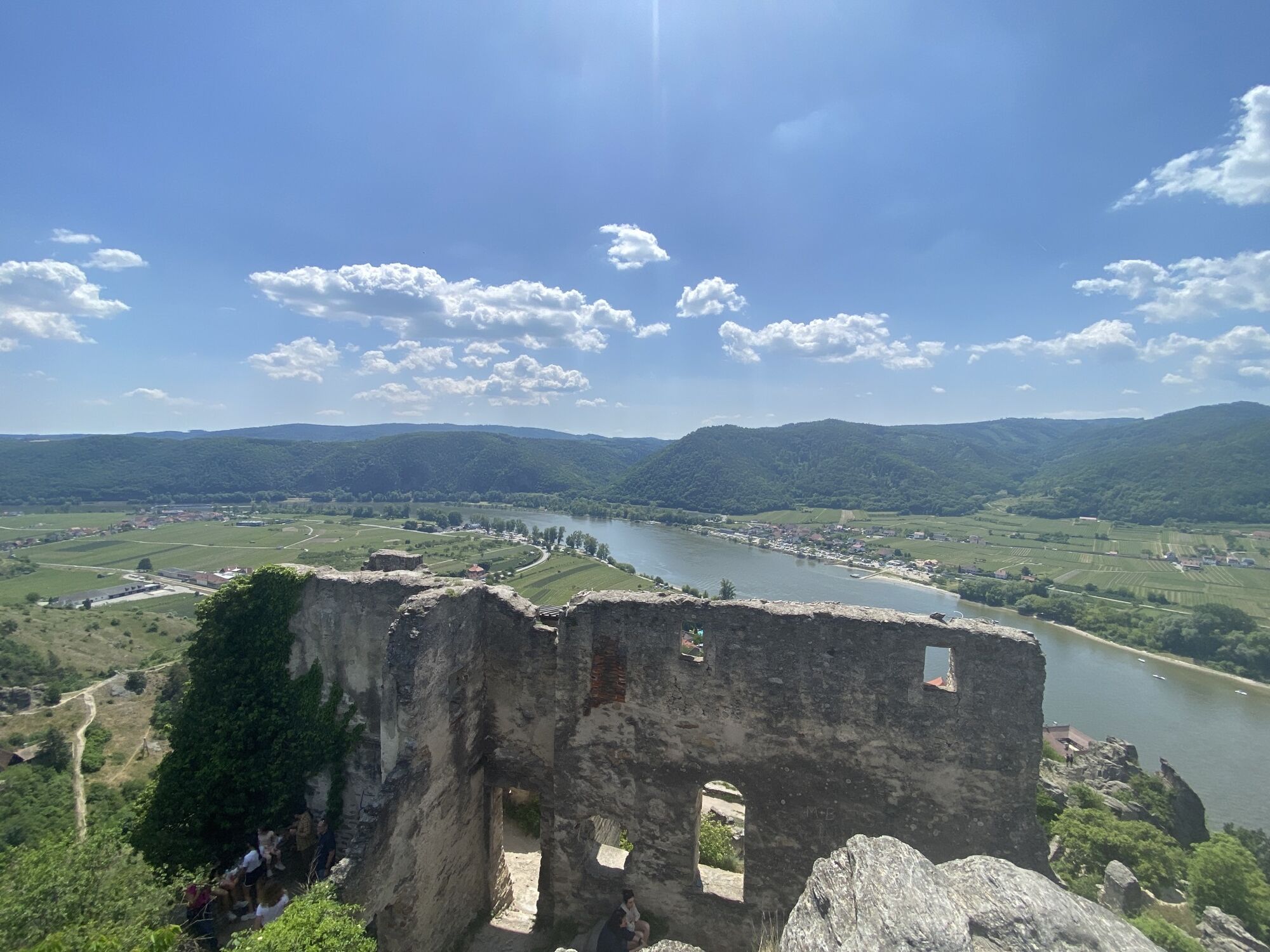
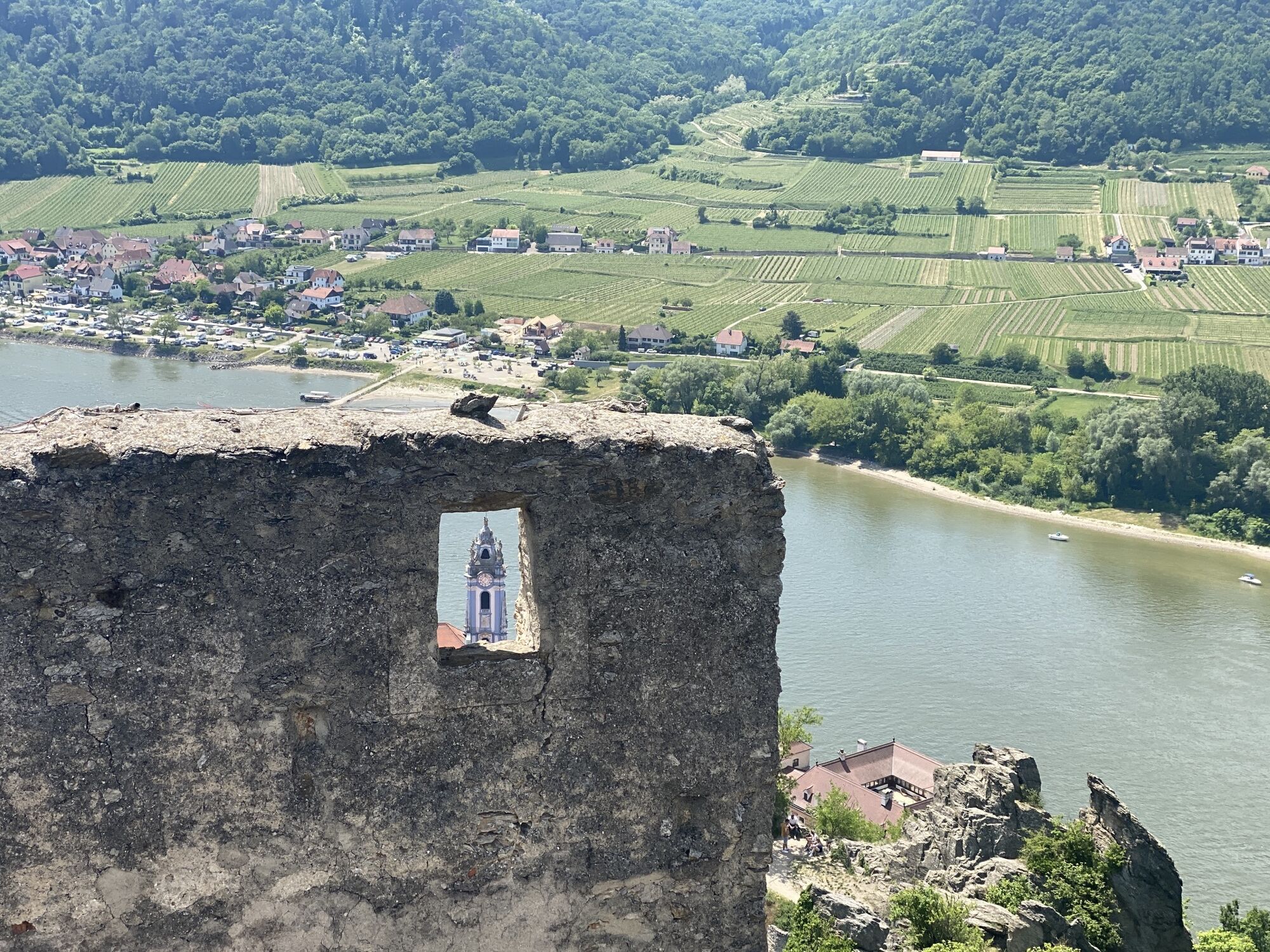
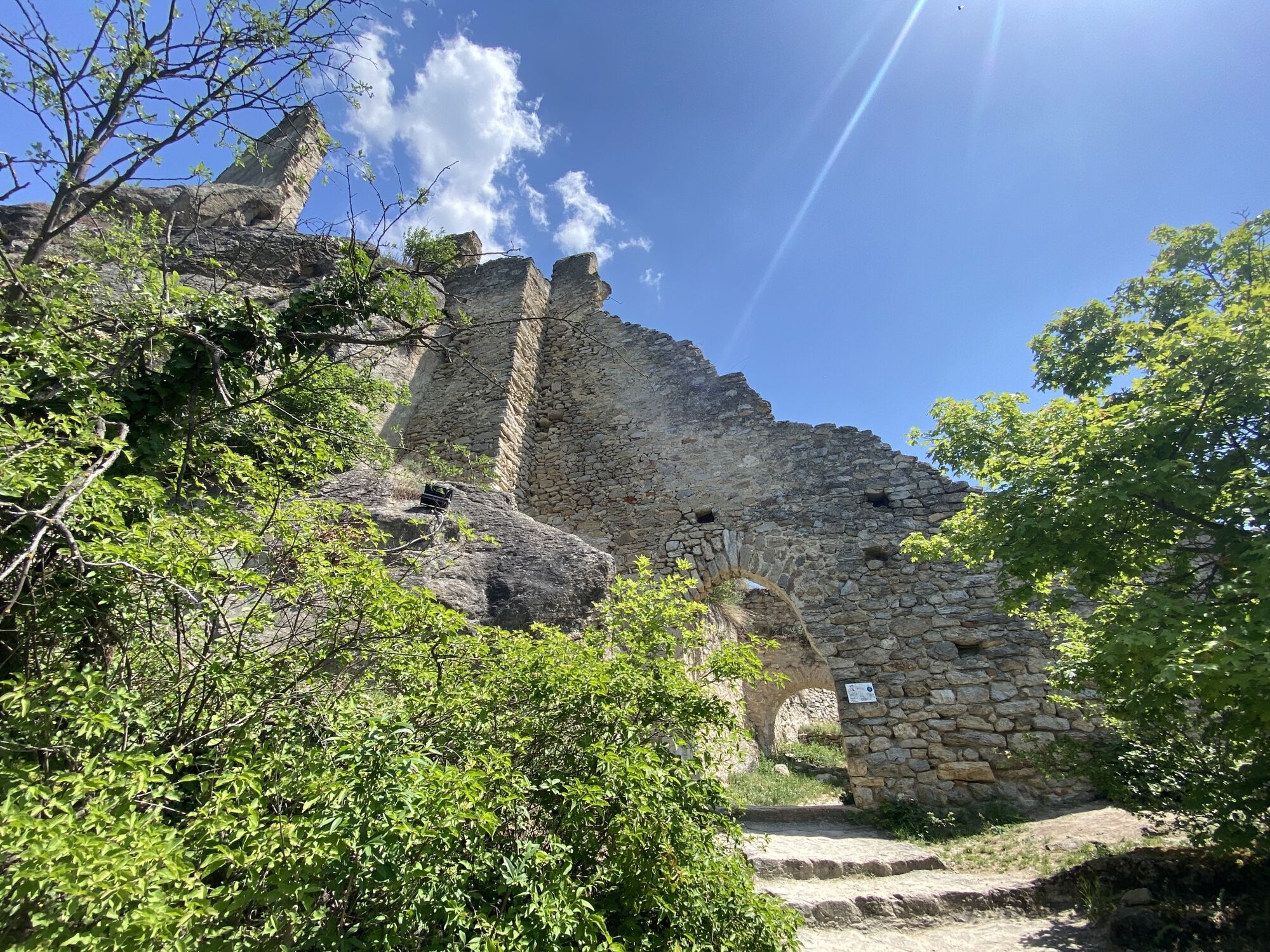
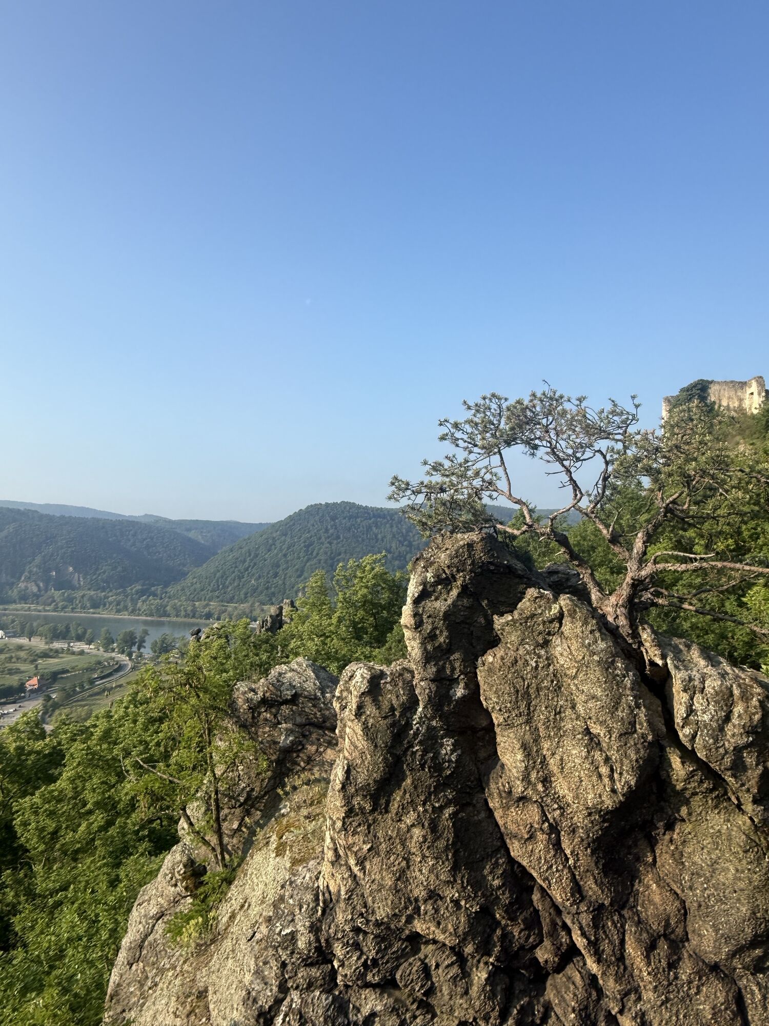
The highlights of the route:
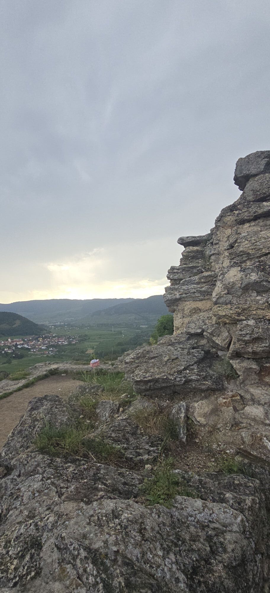
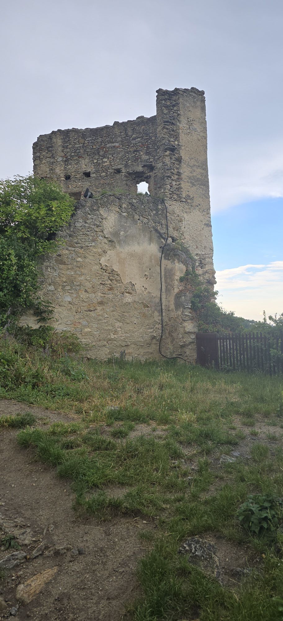
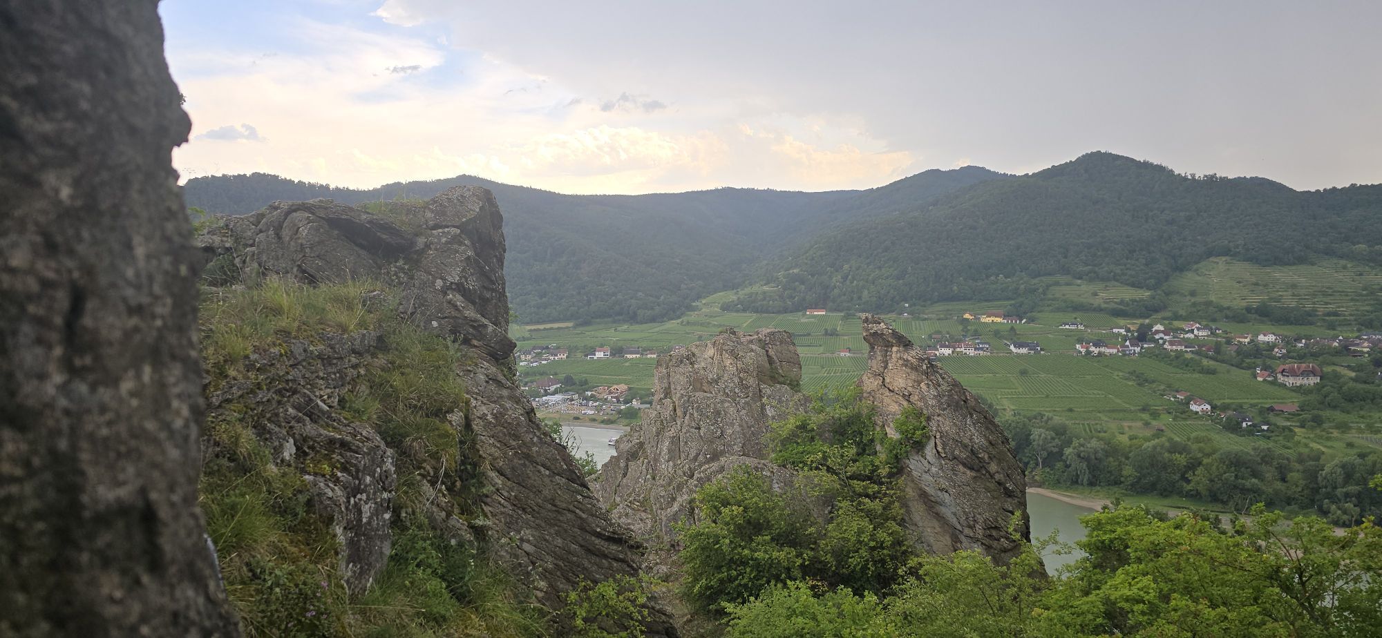
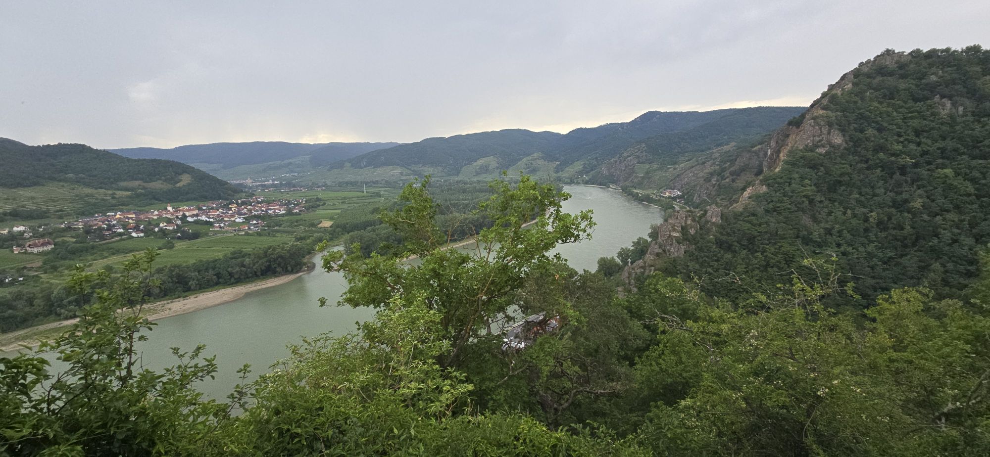
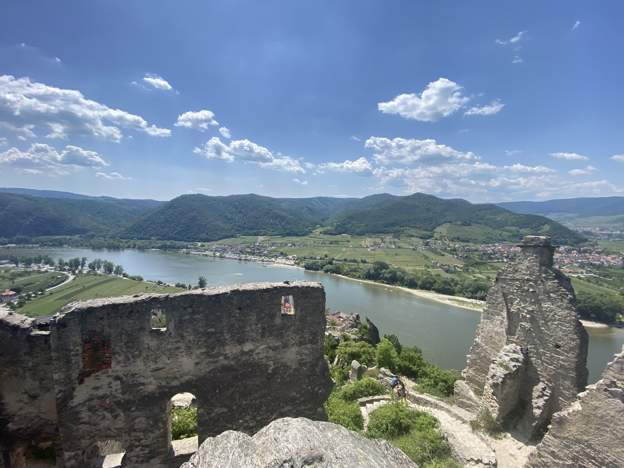
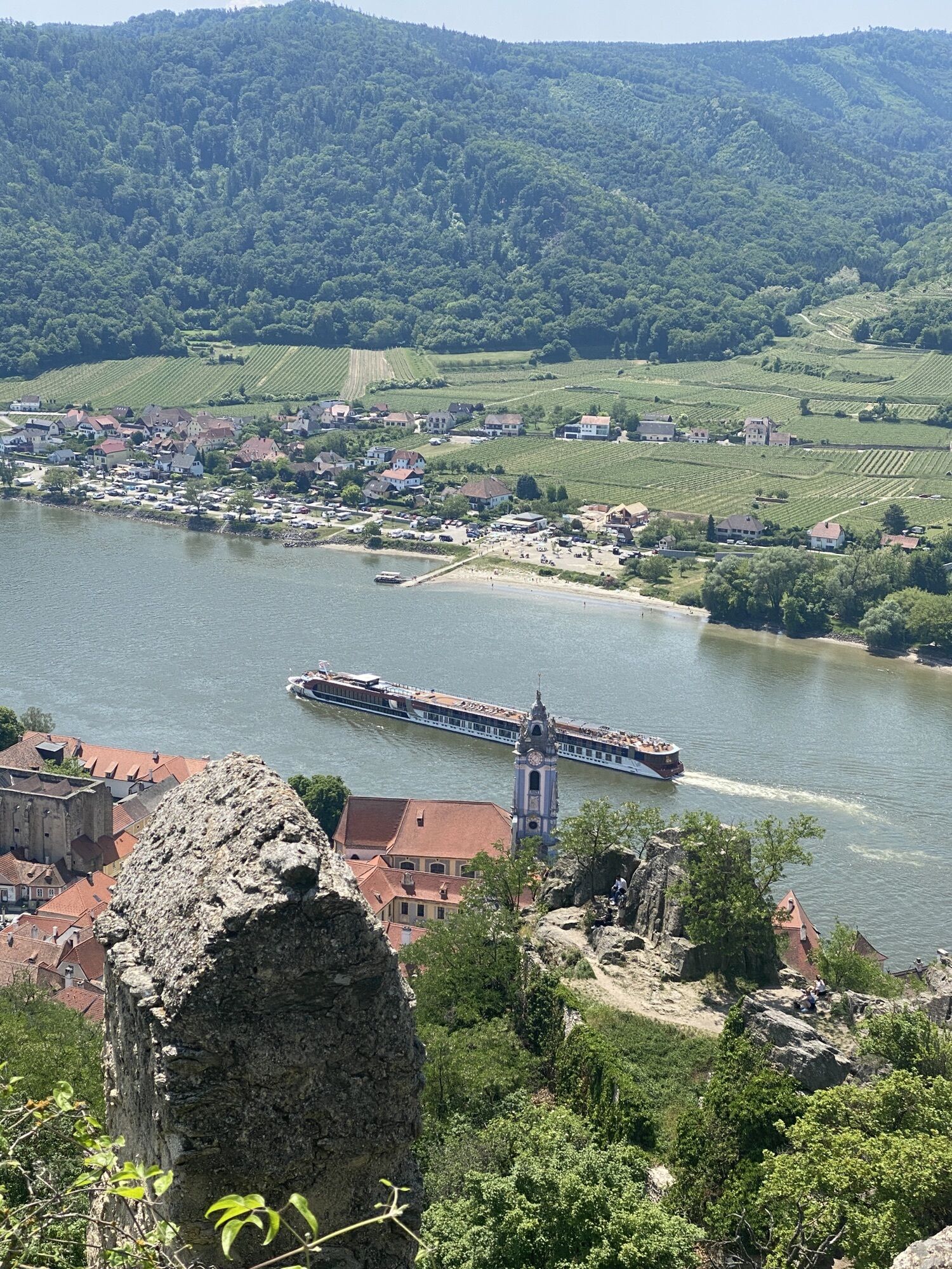
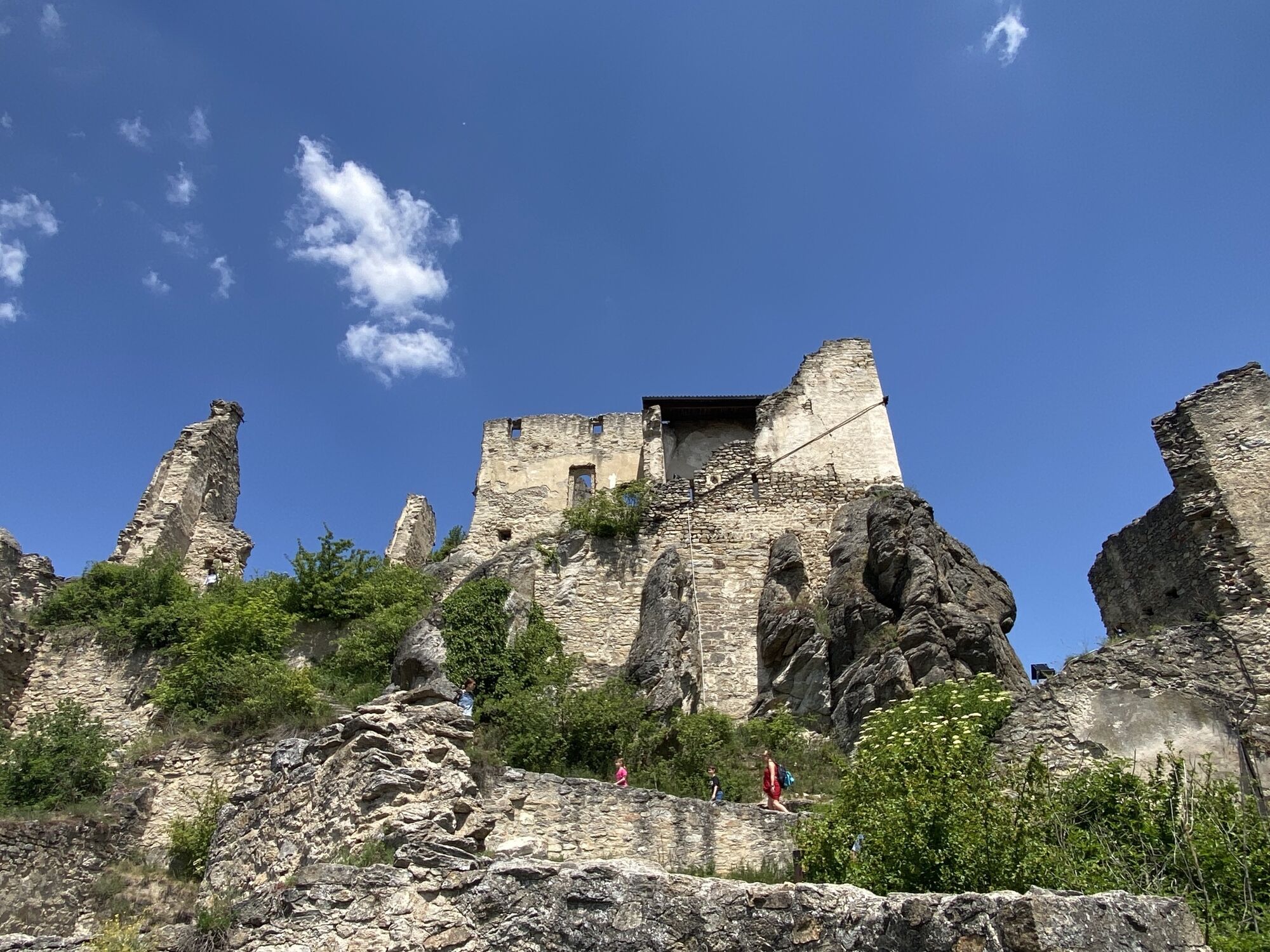
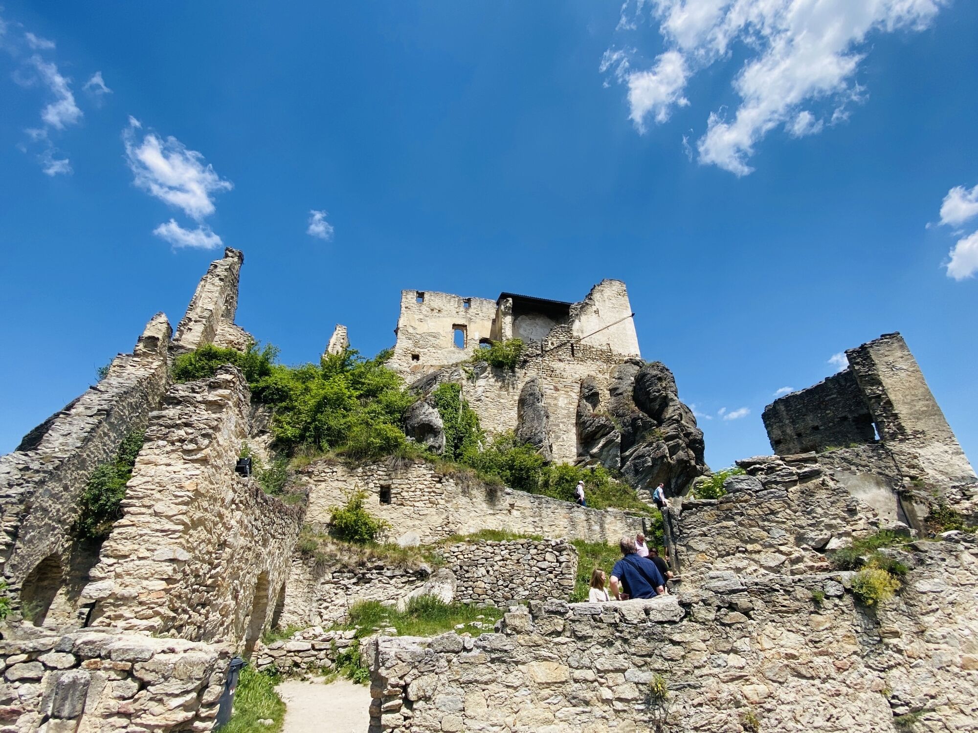
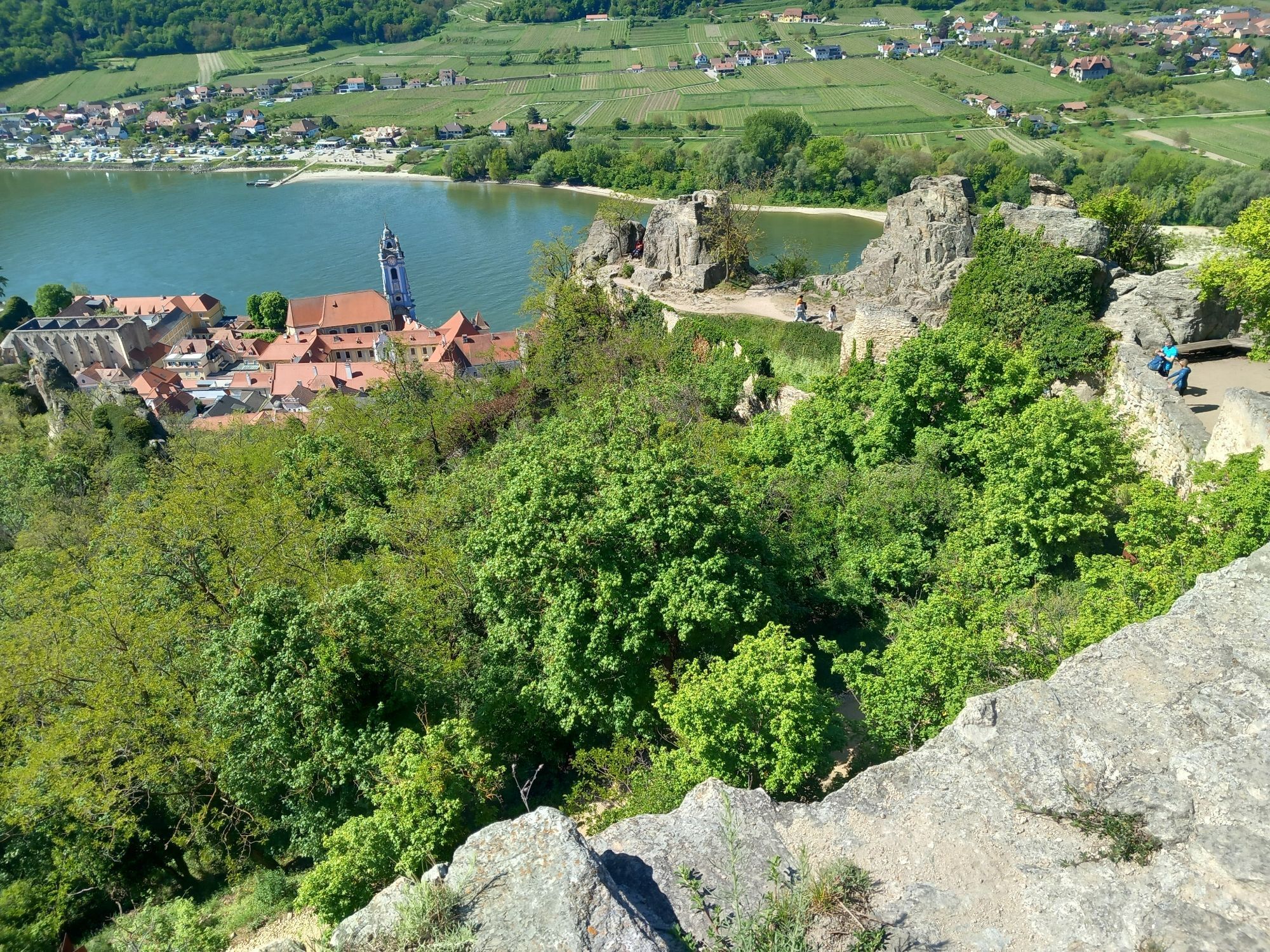
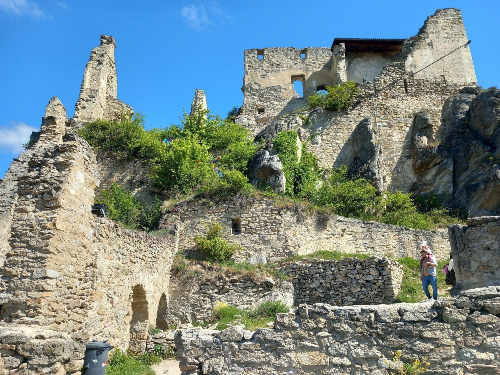
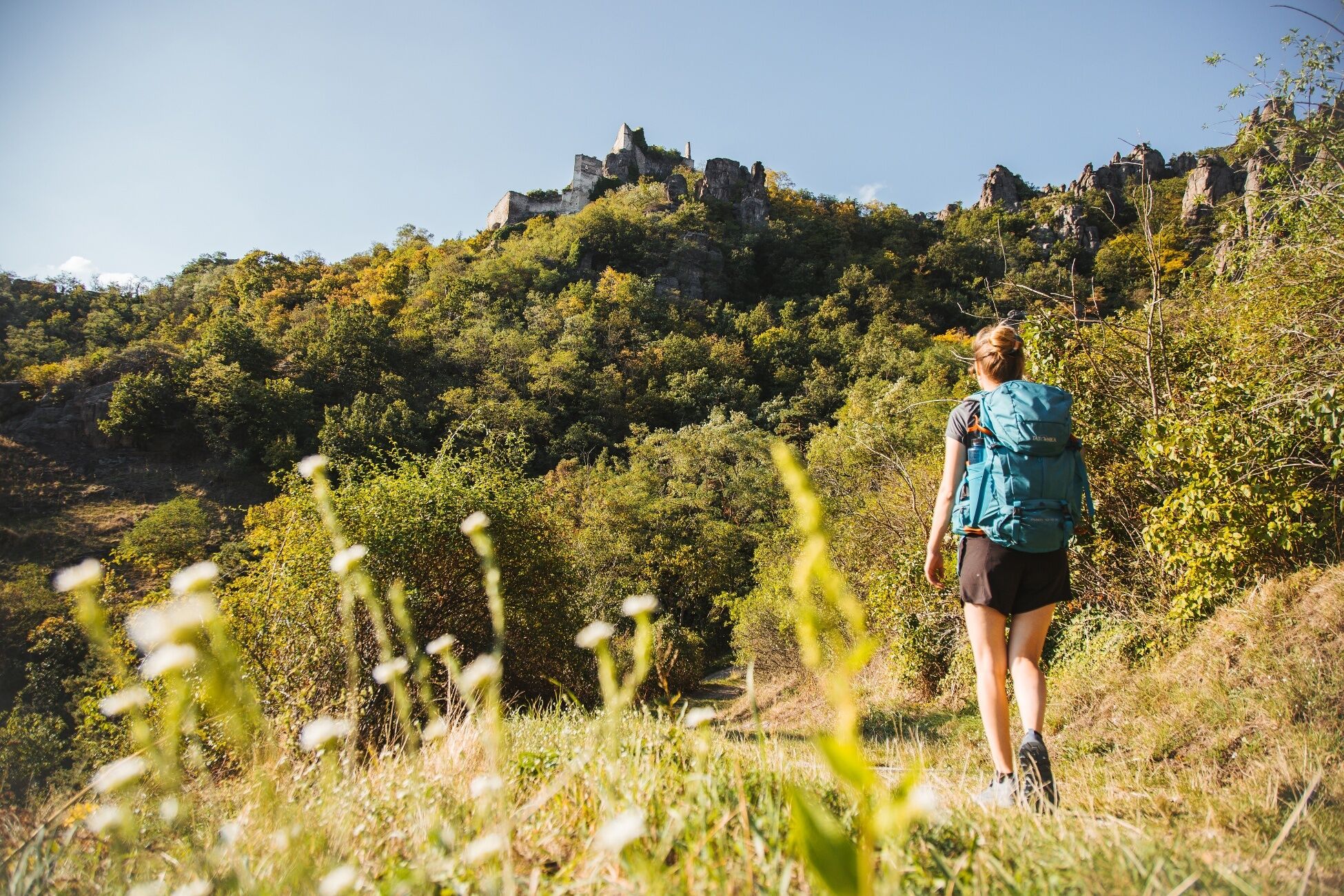
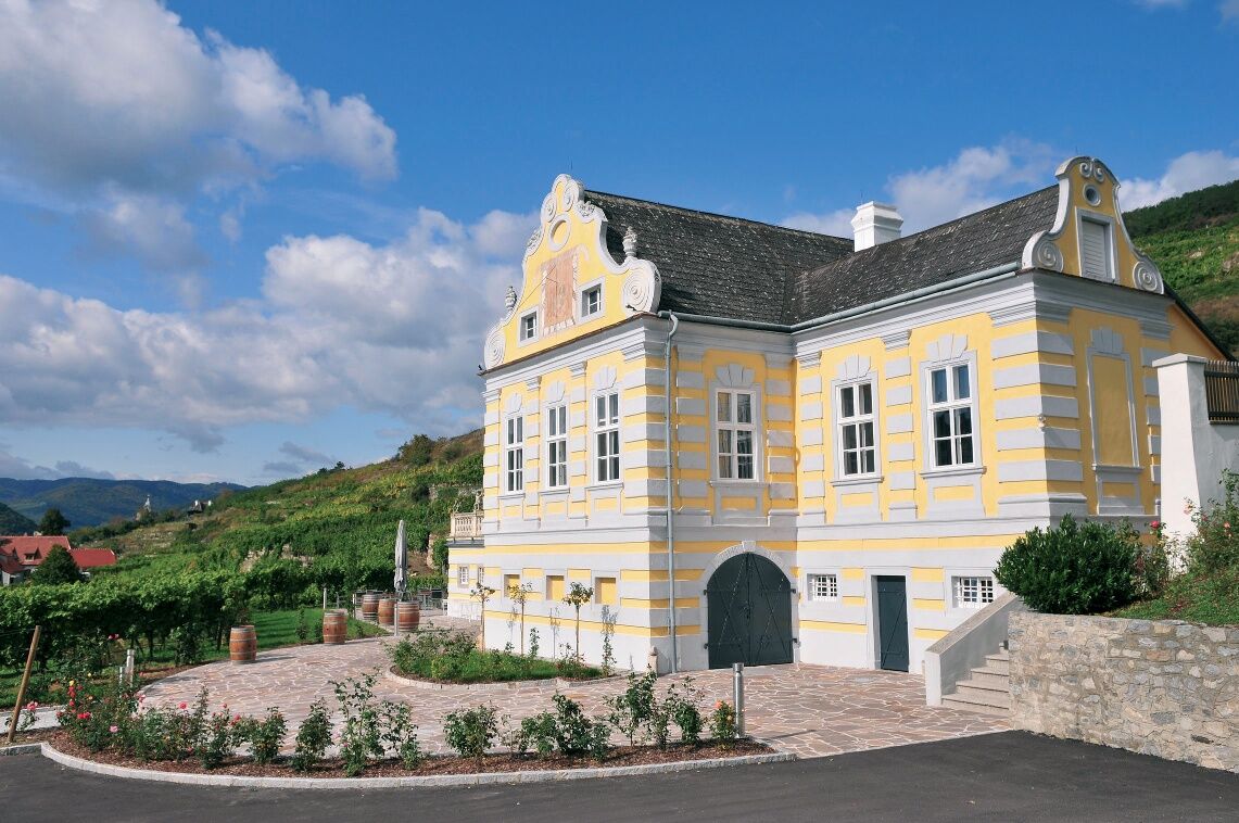
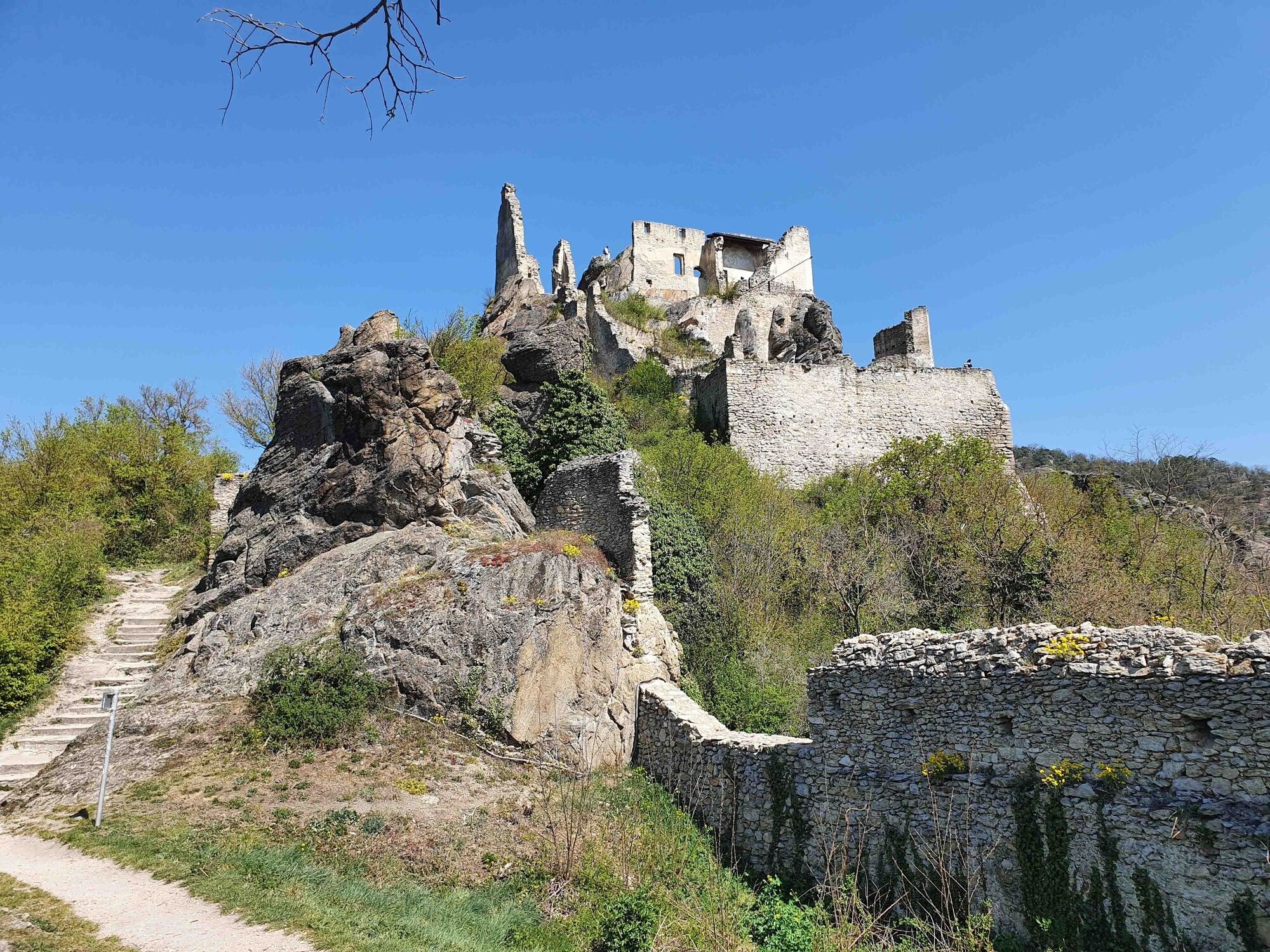
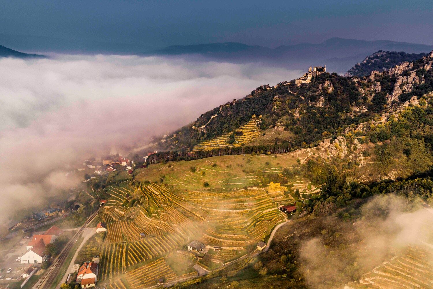
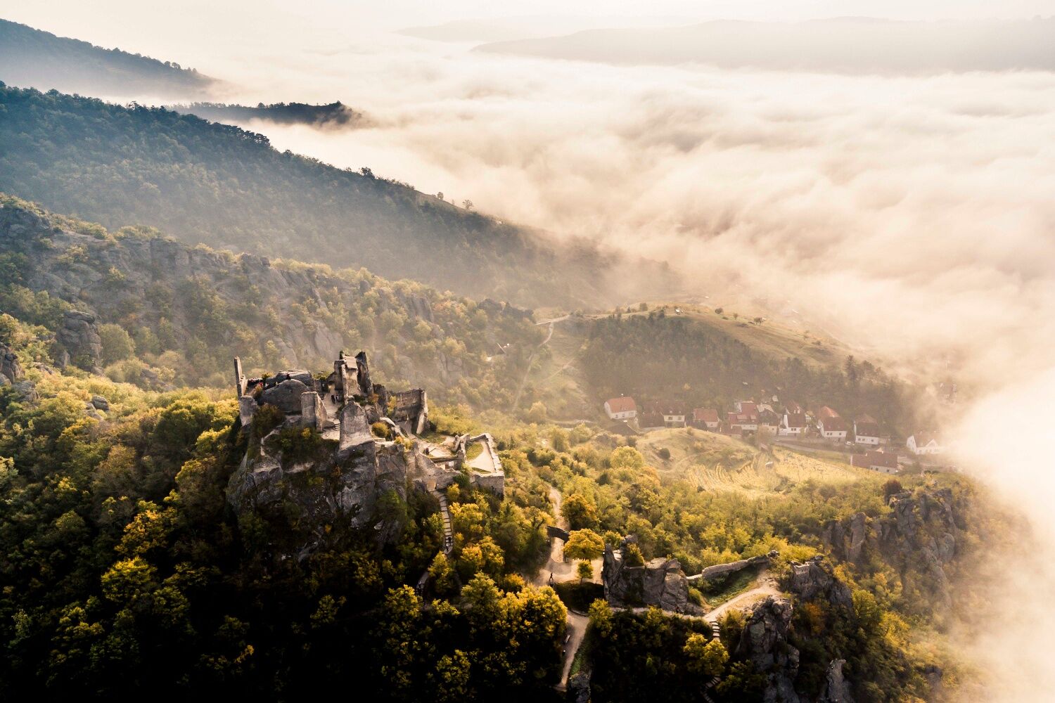
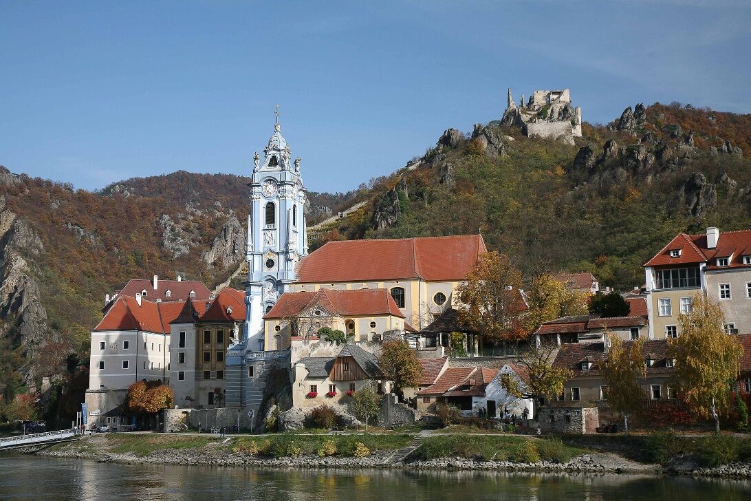
Stift Dürnstein, the baroque jewel and landmark of the WachauDürnstein ruinsKellerschlössel of the Domäne WachauWachau saffron manufactory at the train stationWith support from the country and the European Union (LEADER)
Kamery internetowe z trasy
Popularne wycieczki w okolicy
-
4,5
Welterbesteig Wachau 02: Dürnstein-Weißenkirchen
światłodługodystansowy szlak pieszy 15,9 km -
4,5
Welterbesteig Wachau 03: Weißenkirchen-Spitz
światłodługodystansowy szlak pieszy 10,4 km -
4,5
Welterbesteig Wachau 01: Krems-Dürnstein
światłodługodystansowy szlak pieszy 12,3 km -
4,8
Vogelbergsteig -Kanzel- Fesselhütte - Ruine Dürnstein zum Heurigen in Furth
średniWędrówka 7,59 km -
4,7
Rundhöhenwanderweg Weißenkirchen in der Wachau - Schildhütten - Cholerakreuz - Weißenkirchen
światłoWędrówka 8,75 km -
4,7
Wachau: Seekopf - Hirschwand
średniWędrówka 10,4 km -
4,6
Krems (Welterbesteig) - Dürnstein - Vogelbergsteig - Kanzel - Fesslhütte - Krems
średniWędrówka 18,0 km -
4,5
Maria Langegg - Rote Wand - Hoher Stein - Kastlkreuz
średniWędrówka 11,4 km -
4,5
Panoramaweg Weissenkirchen
światłoWędrówka 5,04 km -
4,4
Wachauer Marillenerlebnisweg, Krems-Angern
światłoWędrówka 6,04 km
Wędrówki i tropienie


Nie przegap ofert i inspiracji na następne wakacje
Twój adres e-mail została dodana do listy mailingowej.