






Playground path
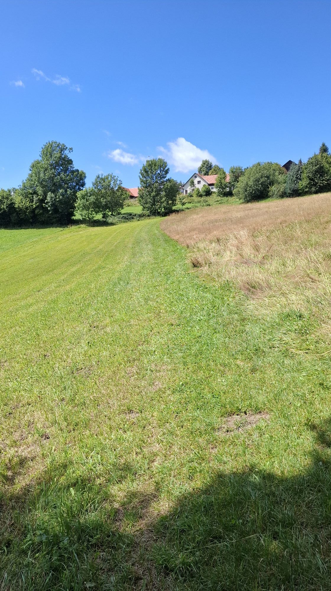
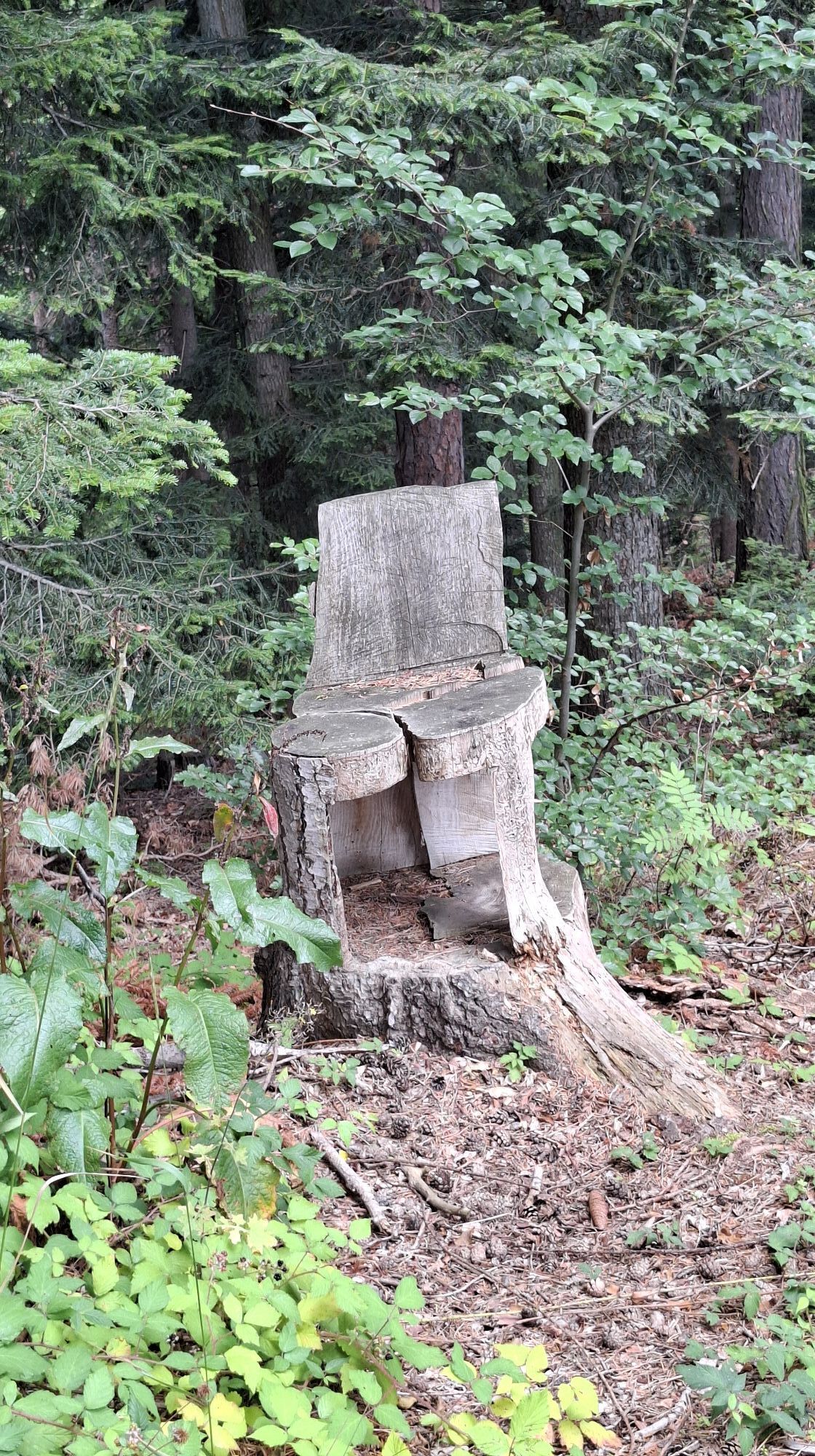
Earth-fire-air-water surround us as a matter of course. This becomes exemplary and consciously perceptible here by playing in forest soil and quartz sand, by viewing solar collectors as hot water heating...
Earth-fire-air-water surround us as a matter of course. This becomes exemplary and consciously perceptible here by playing in forest soil and quartz sand, by viewing solar collectors as hot water heating and a wind power station for generating electricity. Water is also marveled at as a constant shaper of the landscape. We also see large piles of wood ants and beehives with a "honey school".
4 children's playgrounds along the route and a small stream tempt you to play in the great outdoors without remorse (provided you wear suitable clothing).
In the Maria Schnee pilgrimage church and the fortified church in Lichtenegg, children can complete a puzzle rally in a very entertaining way.
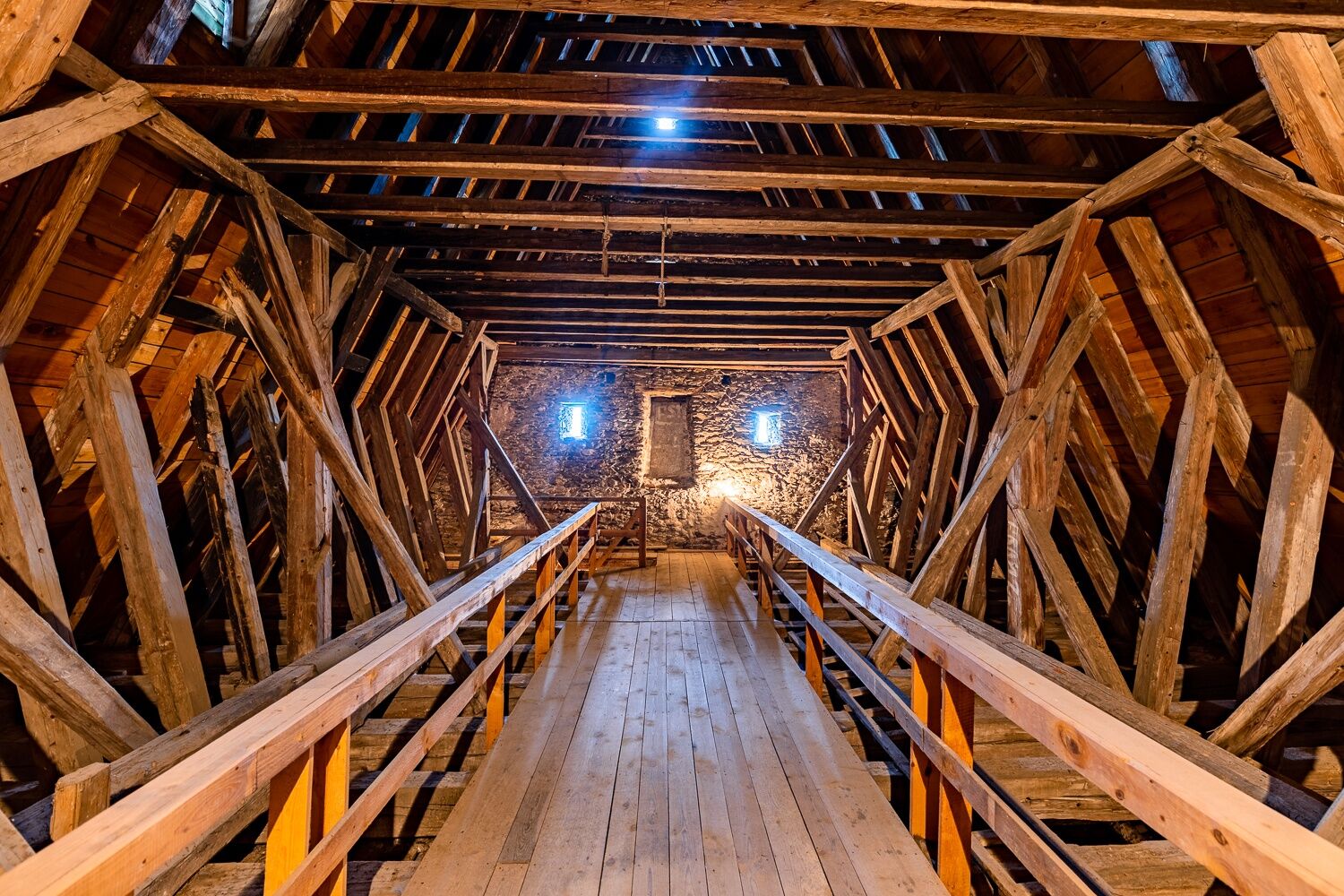
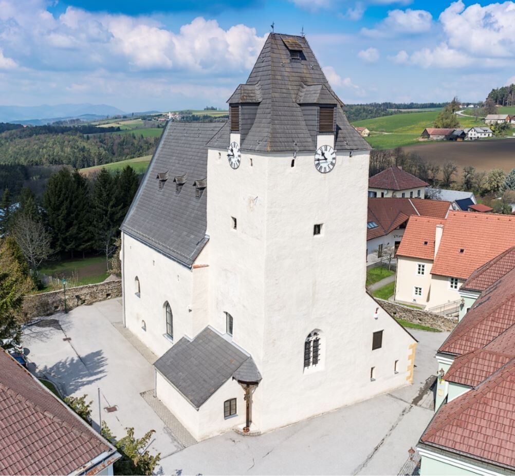
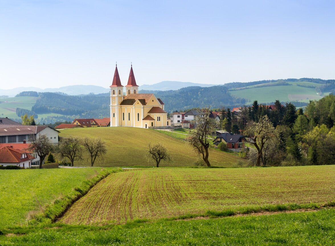
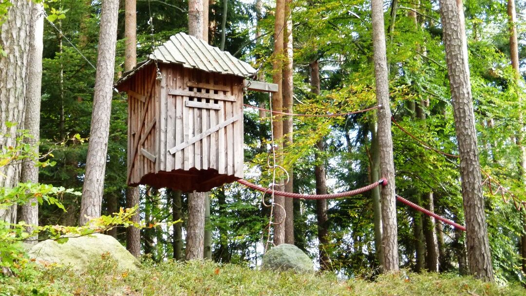
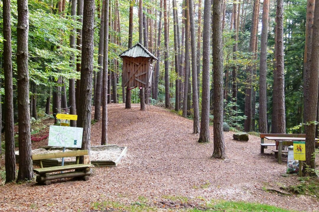

The hike begins at the church square in Lichtenegg. The first playground is located nearby. The path leads along the main square street until a chapel is reached. Then turn left and follow the path to the next playground. Afterwards, turn right and follow the path to Maria Schnee. There you can visit the church and explore the next playground. Next to the church is the Maria Schnee inn, where you can take a break and refresh yourself.
The path continues through Kaltenberg. Twice turn right and follow the hiking trail. After Tafern, it goes through the forest, where there are ant nests and beehives to discover. After crossing the stream, turn right onto the Wäschaü farm road. After a short distance, turn left into the forest. Then turn left again onto the path. After another right turn, you reach the wind turbine. Then turn right and follow the path straight ahead to pass the last playground and return to the starting point in Lichtenegg.
Always take suitable maps with you. Wear hiking-appropriate sturdy shoes, take sun and rain protection as well as water and a snack. Take your mobile phone and save the emergency number of rescue services: Rescue 144 / Mountain rescue 140
Your hikes in the Vienna Alps should be a thoroughly beautiful and safe experience. Please therefore note the following:
Preparation
Make sure when choosing the route that it suits your experience and fitness. Inform yourself in advance about the weather forecast. The weather in the mountains can change surprisingly fast. Always start properly equipped (e.g. rain gear). Check whether the huts and snack stations you want to visit are open. Inform someone about your chosen route and planned return before you set off.
From Vienna and Graz: Drive via the south motorway A2, take the Grimmenstein exit. Turn right onto B54 and drive towards Grimmenstein. After approx. 500 m, turn left onto Bachgasse towards Kaltenberg (Maria Schnee) or Lichtenegg. Follow federal road 4106 about 6 kilometers past Kaltenberg-Maria Schnee.
To the Wr. Neustadt main train station or Edlitz-Grimmenstein, continue by bus to Lichtenegg village center.
More information can be found at www.oebb.at and www.vor.at.
Free parking spaces available in the village area
Vienna Alps in Lower Austria, www.wieneralpen.at, +43 2622 78960
Opening hours: Mon - Thu 08:30 - 16:00 / Fri 08:30 - 13:00
Refreshments:
Maria Schnee Inn, Kaltenberg
Café Eggerl
Mostheuriger Binishofer
Excursion:
Mandl's goat farm (off the route)
Fortified church Lichtenegg
Pilgrimage church Maria Schnee
Other:
Wind turbine Lichtenegg
Village shop Lichtenegg (self-service)
Uzyskaj wgląd
Zawsze na żywo z ponad 9 500 kamer internetowych. bergfex Jako użytkownik Pro, możesz teraz zobaczyć odpowiednie kamery internetowe dla wielu wycieczek w aplikacji wycieczki od. Pozwala to na bezpośredni podgląd aktualnych warunków.
Popularne wycieczki w okolicy
-
4,6
Bucklige Welt: Auf dem Pittentaler Klettersteig zum Türkensturz
średniVia ferrata 1,96 km -
4,1
"Weg der Blicke"
światłoWędrówka 5,86 km -
4,3
Türkensturz Rundwanderung
średniWędrówka 2,56 km -
5,0
Seebenstein - Türkensturz - Burg Seebenstein
światłoWędrówka 7,50 km -
4,5
Bad Schönau - Hutwisch
światłoWędrówka 9,99 km -
4,0
Bucklige Welt: Burg Grimmenstein und Kulmriegel
światłoWędrówka 10,5 km -
4,5
To the Wiesen/Lanzenkirchen observation tower from the Rosalia
światłoWędrówka 4,25 km -
4,2
Türkensturz große runde
średniWędrówka 11,4 km -
4,4
BAD-SCHÖNAU Hutwisch und wieder zurück 20220611
średniWędrówka 10,8 km -
4,0
Molzbachhof Feistritz Rundweg
światłoWędrówka 7,32 km

Wędrówki i tropienie


Nie przegap ofert i inspiracji na następne wakacje
Twój adres e-mail została dodana do listy mailingowej.





