


KulTOURpfad Neulengbach
This educational hike takes you on a scavenger hunt through the municipal area of Neulengbach, the young town in the Vienna Woods. Fourteen informative and visually appealing stations tell you about agriculture,...
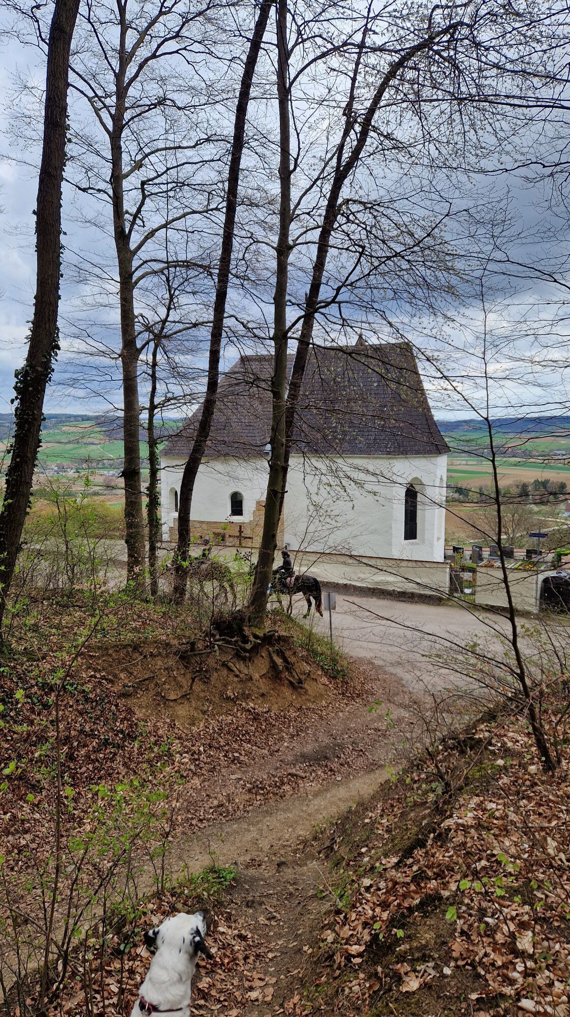
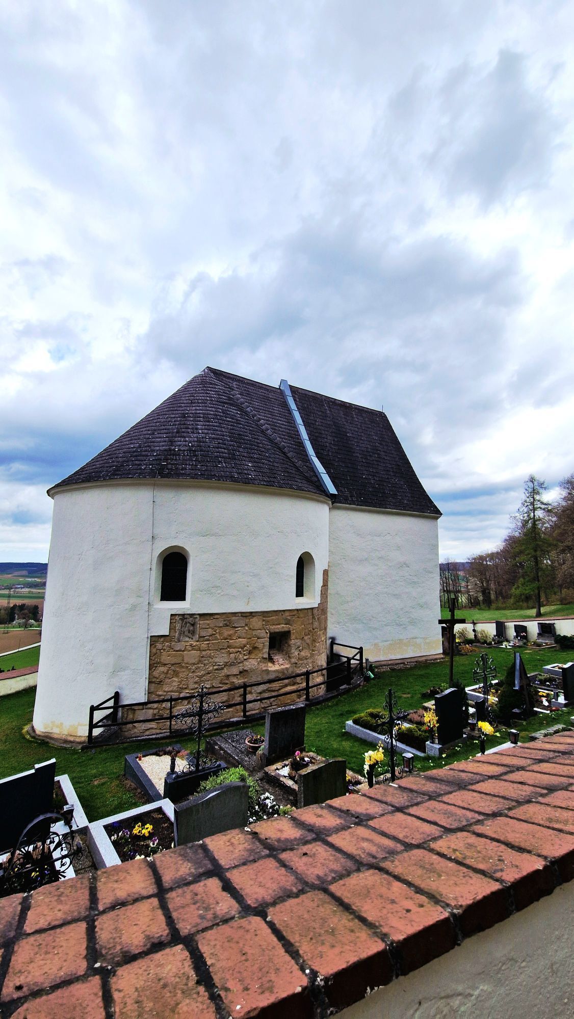
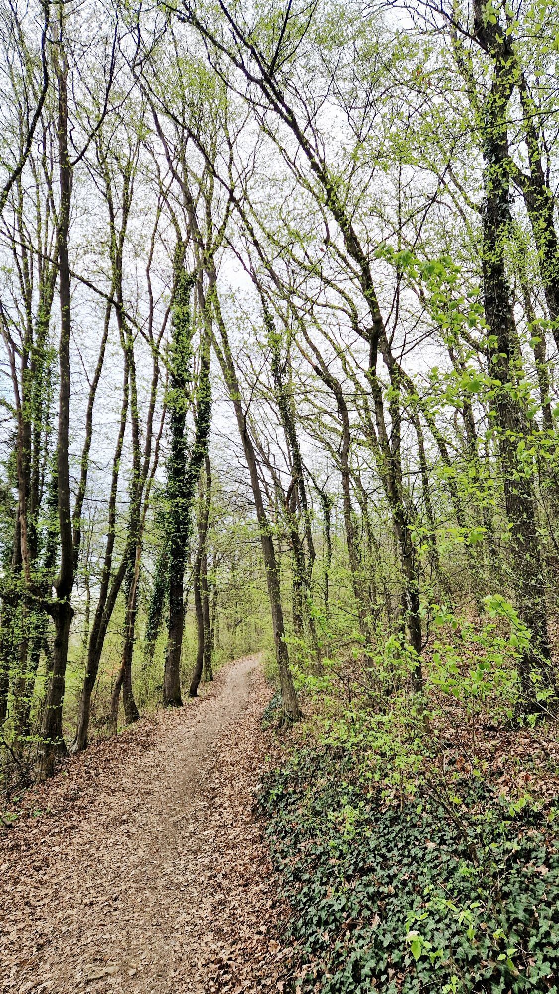
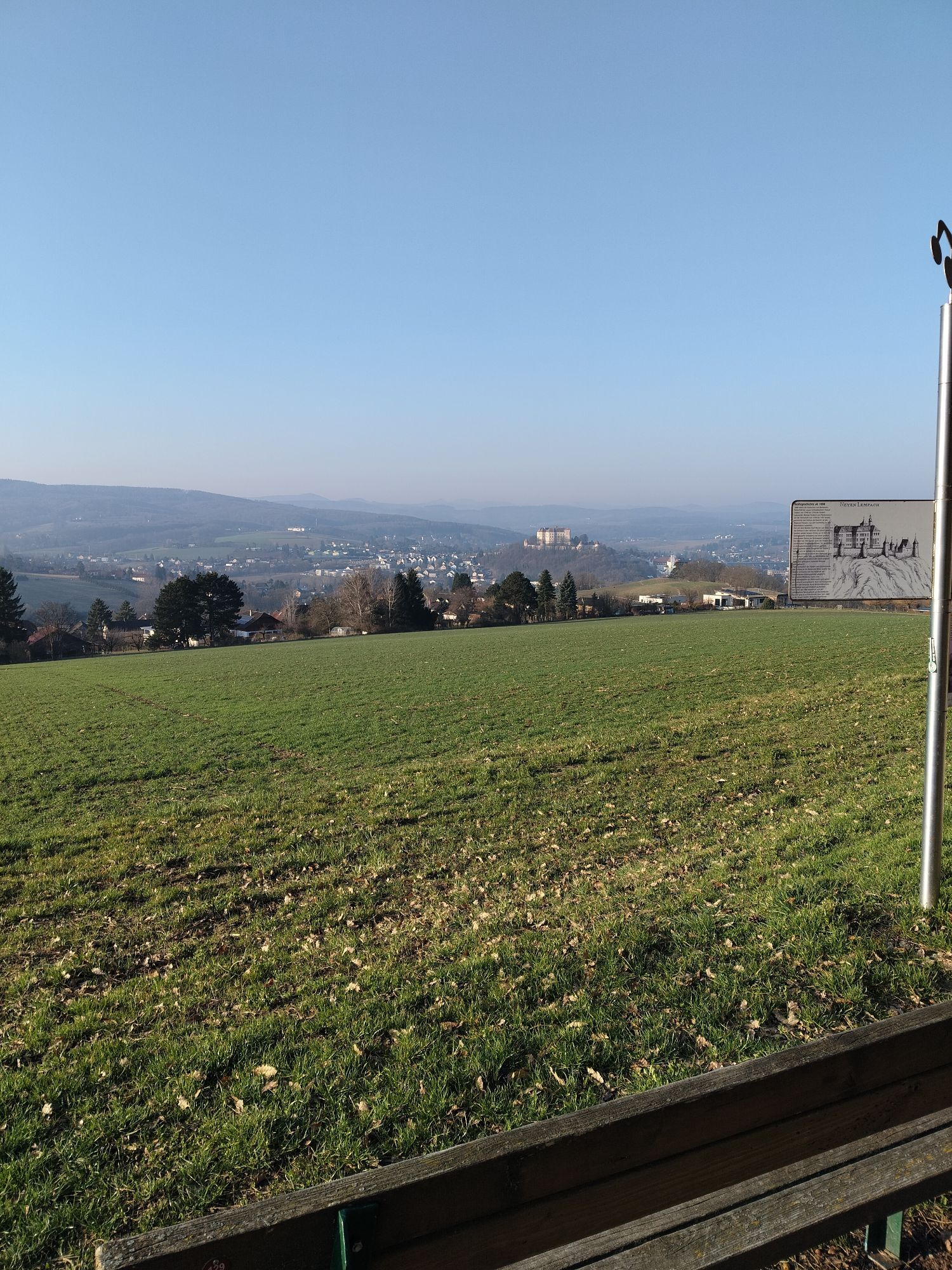
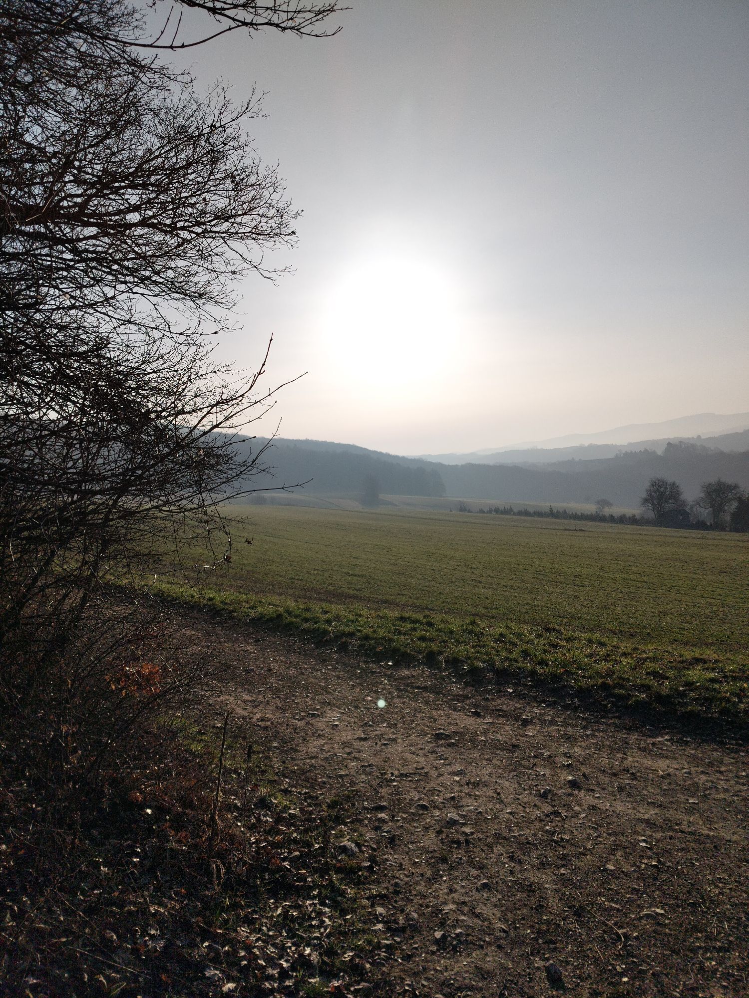
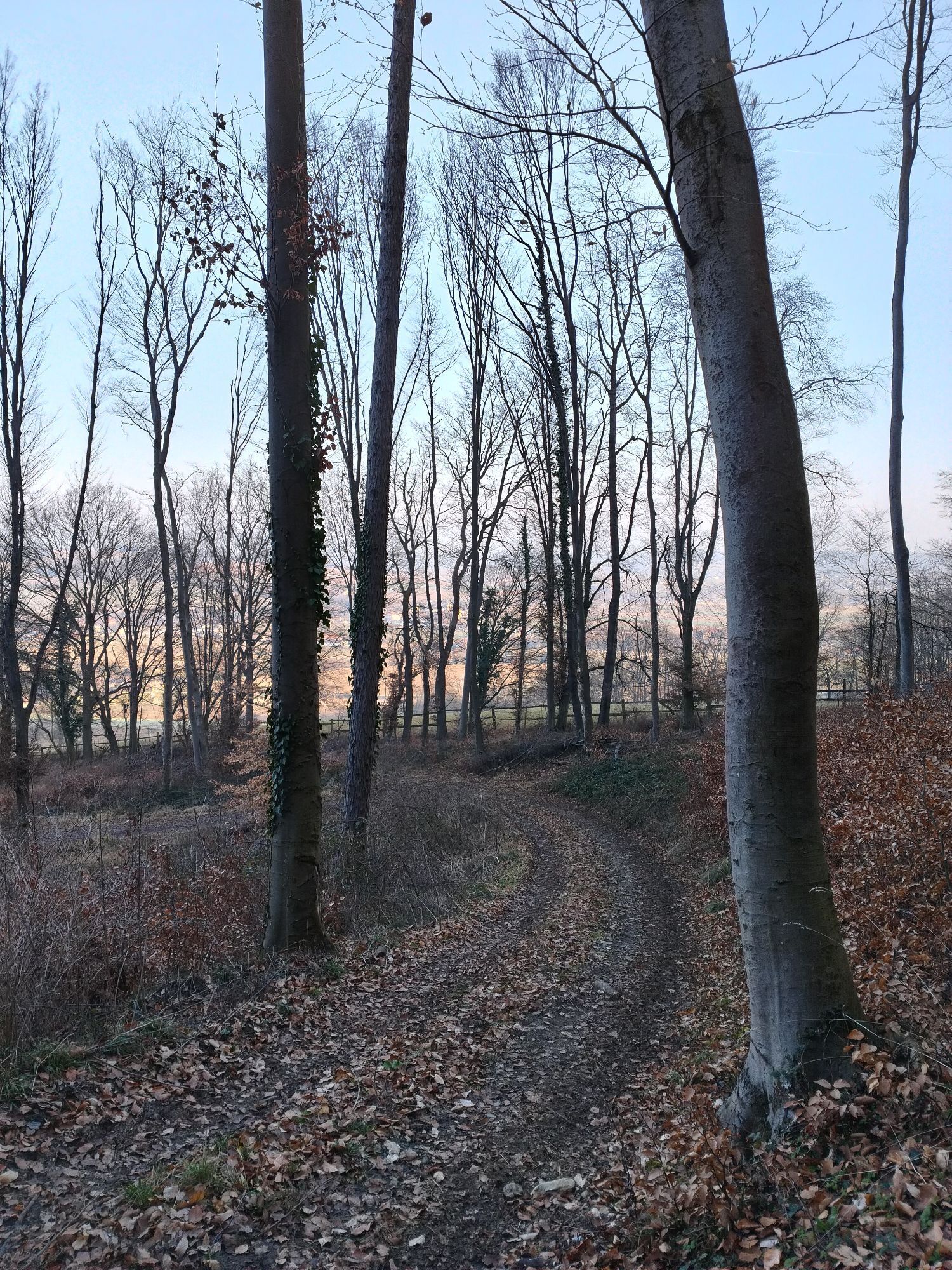
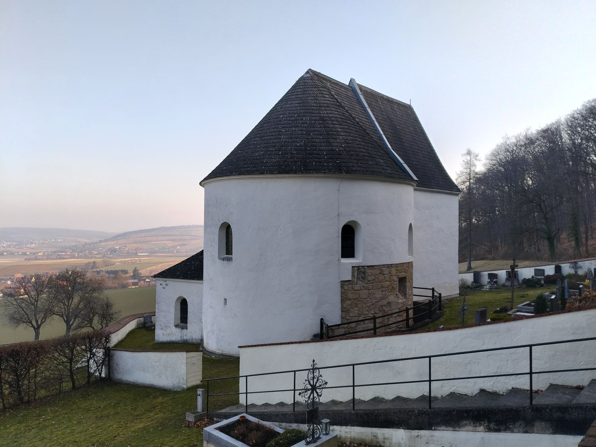
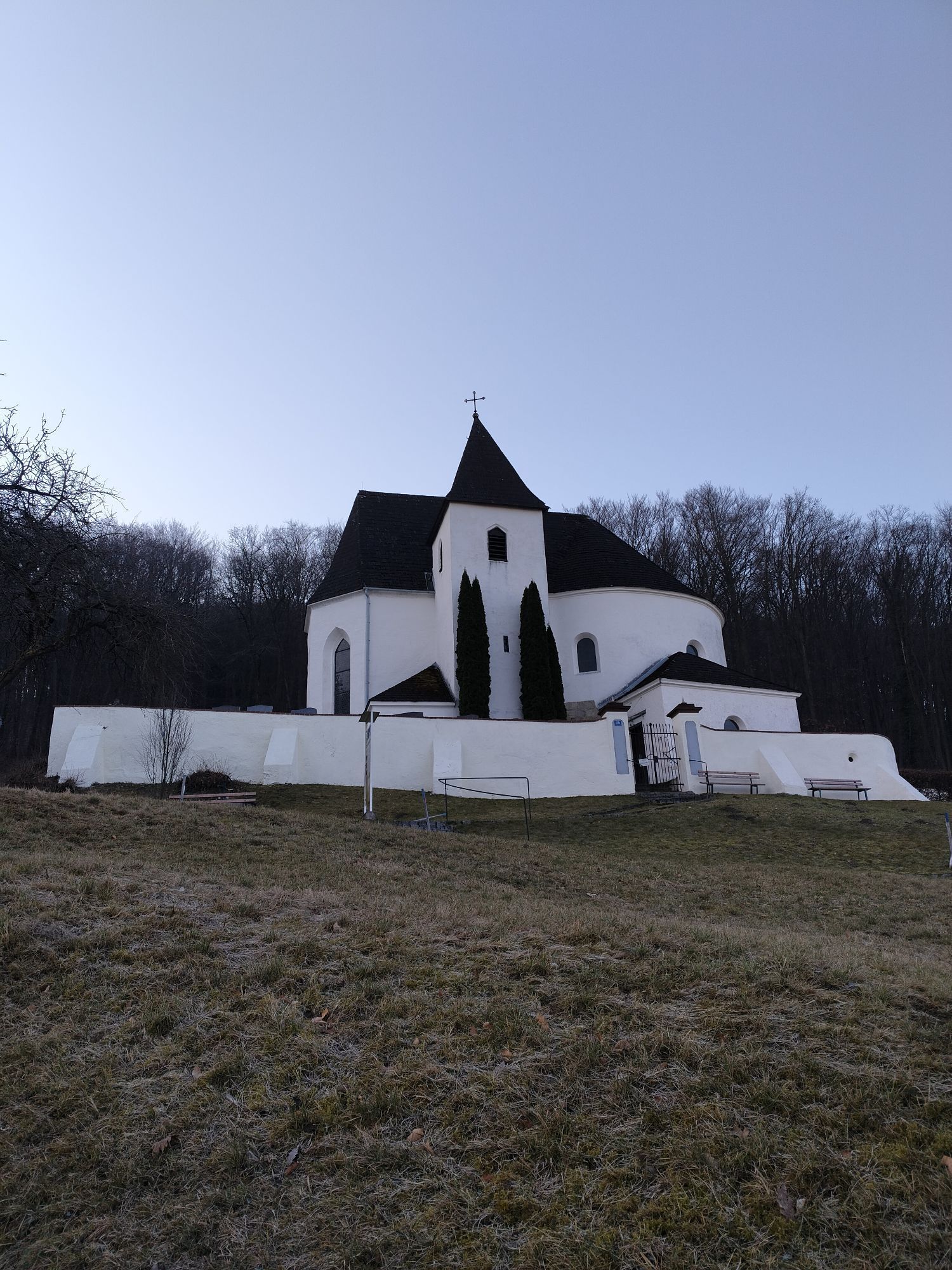
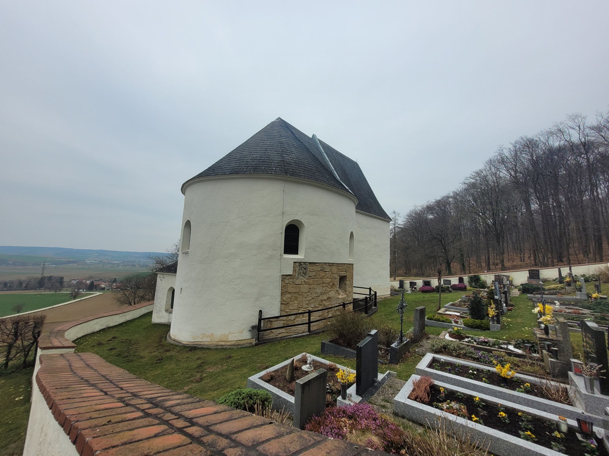
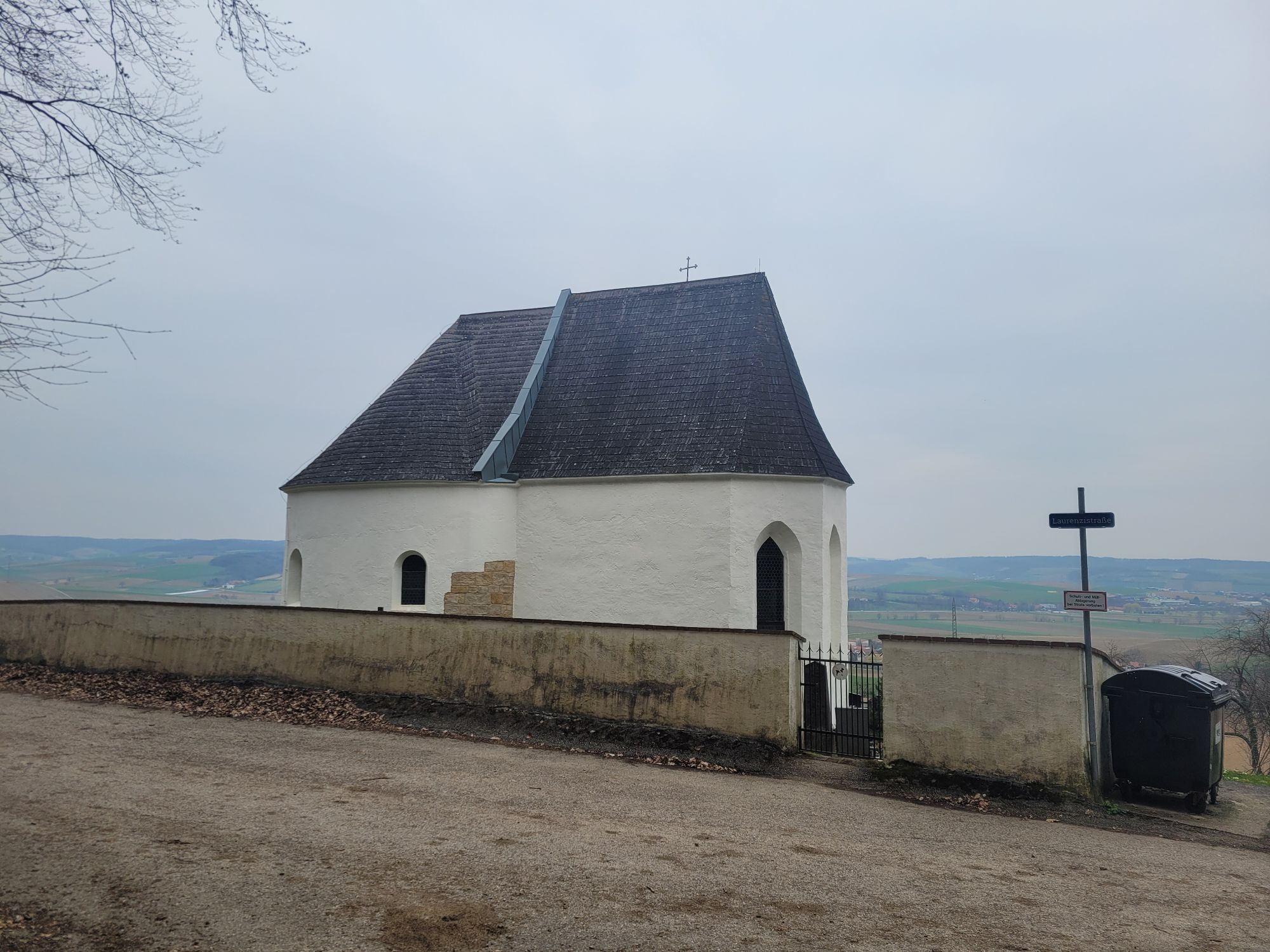
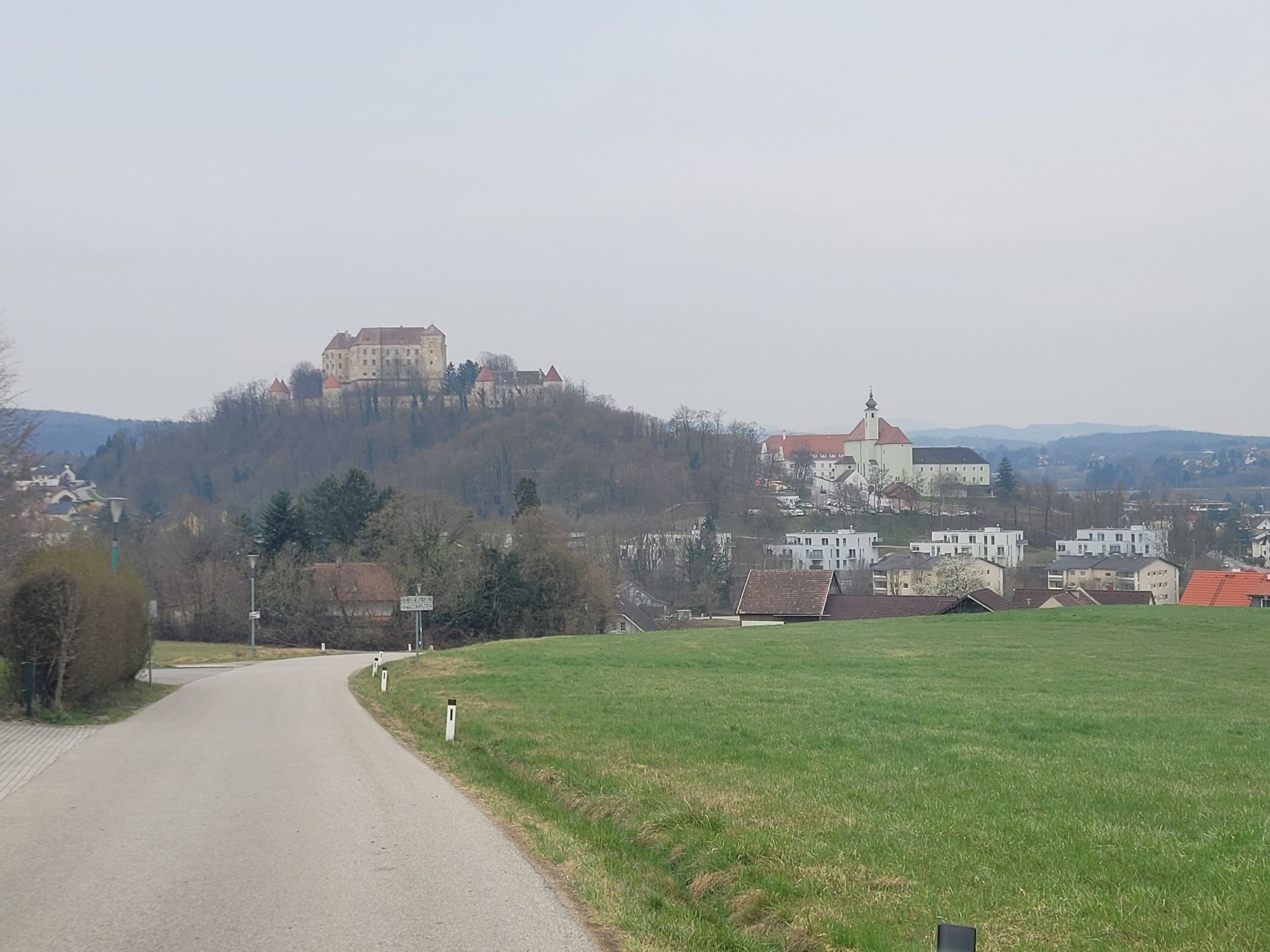
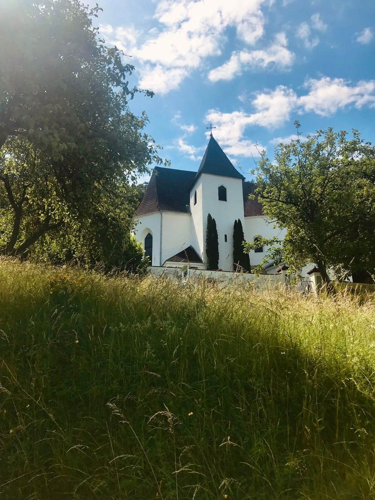
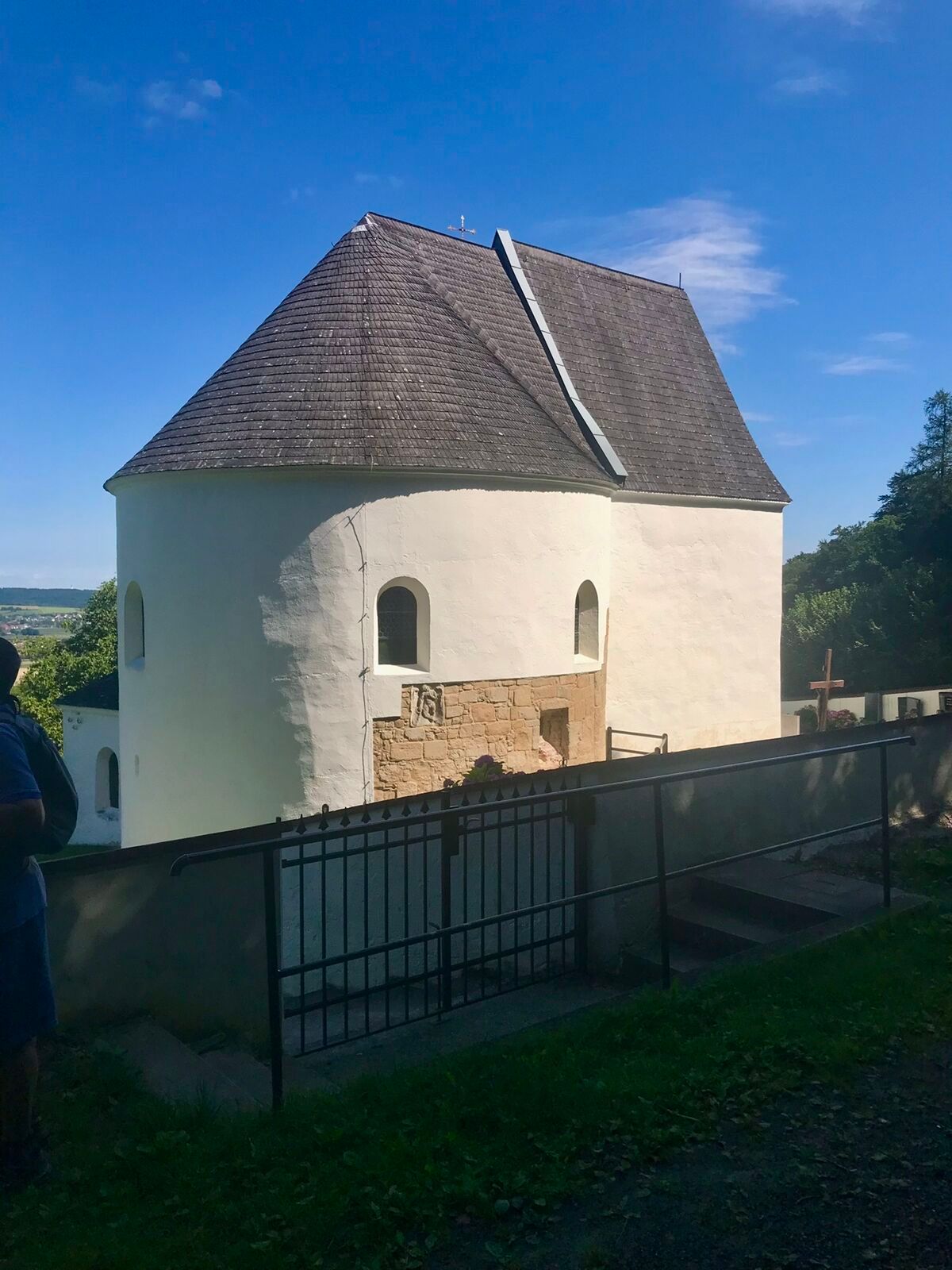
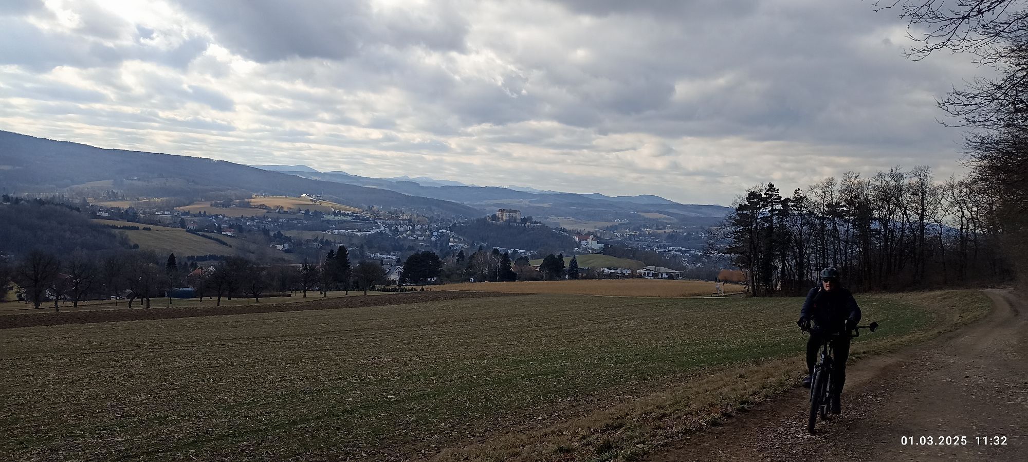
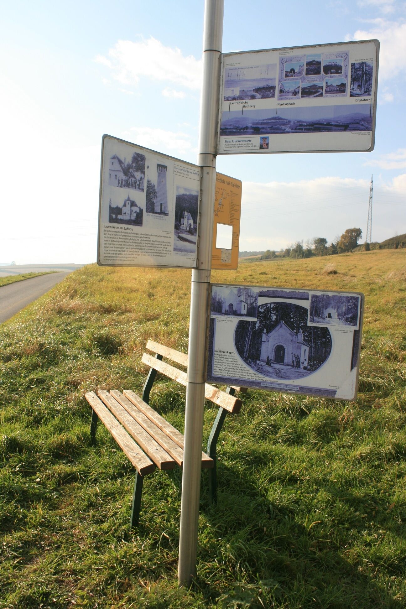
This educational hike takes you on a scavenger hunt through the municipal area of Neulengbach, the young town in the Vienna Woods. Fourteen informative and visually appealing stations tell you about agriculture, tavern life, river regulation, rail and road traffic in the past and explain the history and origins of important buildings in the area, such as Baumgarten Castle, Neulengbach Monastery and Castle, the railroad viaduct and the Westautobahn highway. Numerous historical black and white photos illustrate the texts and make life in grandmother's and great-grandmother's time vivid, even for children. In the town center of Neulengbach, cafés and restaurants invite you to take a short break with food and drink. A museum about the life and work of the famous painter Egon Schiele and his time in Neulengbach has also been set up in the former district court, which is well worth a visit. Here you can find out what his arrest in 1912 was all about and visit the artist's former cell. Other sights include the early baroque parish church and the old town hall. Outside the town center, the culture trail leads away from busy roads and without major climbs through loosely built-up areas, along rivers, meadows and fields. Here you pass through the pilgrimage site of St. Christophen and the village of Raipoltenbach, with its 16th century castle ruins. Time and again, hikers are treated to views of the magnificent Burgberg and the nearby Buchberg.

Der Startpunkt befindet sich südlich von Emmersdorf, neben der Brücke über die Große Tulln. Von hier aus geht man Richtung Süden los. Man überquert den Anzbach und biegt in die Ulmenhofstraße ein. An der nächsten Kreuzung (Station 2) geht es nach rechts weiter, über eine Treppe zum Kirchenplatz. Man geht geradeaus, an der Station 3 vorbei, und gelangt zur Station 4. Nun führt die Tour über den modernen Hauptplatz Neulengbachs, der zahlreiche Einkehrmöglichkeiten bietet zur Station 5. Am Ende des Rathausplatzes geht man nach rechts, und spaziert die Bahnstraße bergab. An deren Ende befindet sich die Station 6 beim Radweg neben dem Laabenbach, unter dem Eisenbahnviadukt. Nun spaziert man den Bach flussaufwärts entlang, und gelangt zur Station 7. Auf diesem Weg geht es weiter. Man verlässt Neulengbach und erreicht nach ca. 2km den Wallfahrtsort St. Christophen. Hier wechselt man auf die Straße, und überquert von dort aus den Laabenbach, um zur Station 8 zu gelangen. Danach geht man wieder auf den Radweg und geht weiter den Laabenbach flussaufwärts. Danach führt eine Holzbrücke ans andere Ufer. Ein paar Meter weiter muss man nach rechts abbiegen, auf die Hinterbergstraße. Nun marschiert man die Landstraße entlang. Der Weg führt durch die Orte Hart, Ludmerfeld und Kalkgrub, wo man sich bei der Kreuzung rechts hält, um über die Straße zur Station 9 zu gelangen. Hier führt eine kleine Brücke über die Autobahnauffahrt weiter, durch die Ortschaft Theißl, zu einer Kreuzung. Man geht hier nach links, die Kirchenstraße bergab, zur Station 10. Weiter bergab, wird die Hauptstraße überquert und man spaziert die Bahnstraße entlang bis zum Bahnhof Ollersbach. Nachdem man die Gleise überquert hat geht man bei der nächsten Straßenkreuzung rechts und erreicht daraufhin die Station 11. Nun wandert man über Wolfersdorf nach Umsee. Bei der Umsseer Straße geht man nach rechts, kurz darauf nach links über einen asphaltierten Güterweg vorbei an der Ortschaft Weidling, nach Obereichen zur Station 12. Man geht nach rechts auf der Landstraße bergab, und dann zwei mal links, um über einen weiteren asphaltierten Güterweg Raipoltenbach zu erreichen. Am Ende des Weges geht man rechts, dann zwei mal links und dann einmal rechts, um auf die Hauptstraße zu gelangen. Hinter dem Bach liegt Station 13. Man verlässt den Ort, indem man nach rechts auf die Herbstgrabenstraße einbiegt. Bei Herbstgraben geht man nach rechts, einen weiteren Güterweg bergauf. Dadurch erreicht man die letzte Station. Eine Rückkehr zum Ausgangspunkt ist über Innprugg möglich.
Normale Wanderausrüstung
Autobahn A1, Abfahrt Altlengbach. Dann B19 Richtung Neulengbach, dann B44 Richtung Neulengbach. Dann links abbiegen auf „Ulmenhofstraße“, dann links abbiegen auf „Emmersdorfer Straße“.
oder
Autobahn A1, Abfahrt St. Christophen. Dann B19 Richtung Neulengbach, dann B44 Richtung Neulengbach. Dann links abbiegen auf „Ulmenhofstraße“, dann links abbiegen auf „Emmersdorfer Straße“.
Parkmöglichkeit auf ebenem Schotterplatz neben der Straße
Wienerwald Tourismus
3002, Purkersdorf, Hauptplatz 11
Tel. 02231/621 76
Fax 02231/655 10
Region Elsbeere Wienerwald
3040 Neulengbach, Kirchenplatz 82
Tel. 02772/524 84
Informationsbüro Neulengbach
3040 Neulengbach, Wiener Straße 51
Tel. 02772/54160
Fax 02772/54560
info@neulengbach.com
www.neulengbach.gv.at
Popularne wycieczki w okolicy
-
4,7
Schöpfl
światłoWędrówka 9,52 km -
4,0
Schöpfl von Sankt Corona
średniWędrówka 10,1 km -
4,4
Hegerberg
światłoWędrówka 8,06 km -
4,6
Tut Gut Wanderweg Pressbaum 3
średniWędrówka 12,5 km -
4,2
INNERMANZING Schoderleh Falkensteiner Htt. Hasenriegel Forsthof Edhof ret. 20230114
światłoWędrówka 13,1 km -
4,7
Schöpfl von Kammhöhe aus
światłoWędrówka 13,2 km -
4,5
Gföhlberg
światłoWędrówka 6,83 km -
4,4
Von St. Corona auf den Schöpfl - Angelos Touren
światłoWędrówka 6,68 km -
4,8
Circular hike to Buchberg lookout
światłoWędrówka 9,24 km -
5,0
Laabental - Radweg
światłoJazda na rowerze 15,7 km
Wędrówki i tropienie


Nie przegap ofert i inspiracji na następne wakacje
Twój adres e-mail została dodana do listy mailingowej.