






Wittgenstein route in Trattenbach
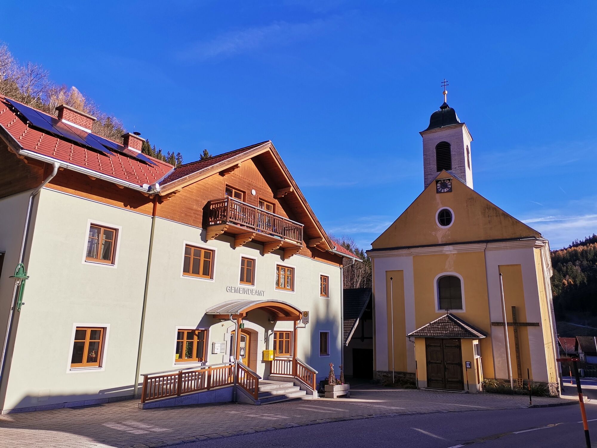
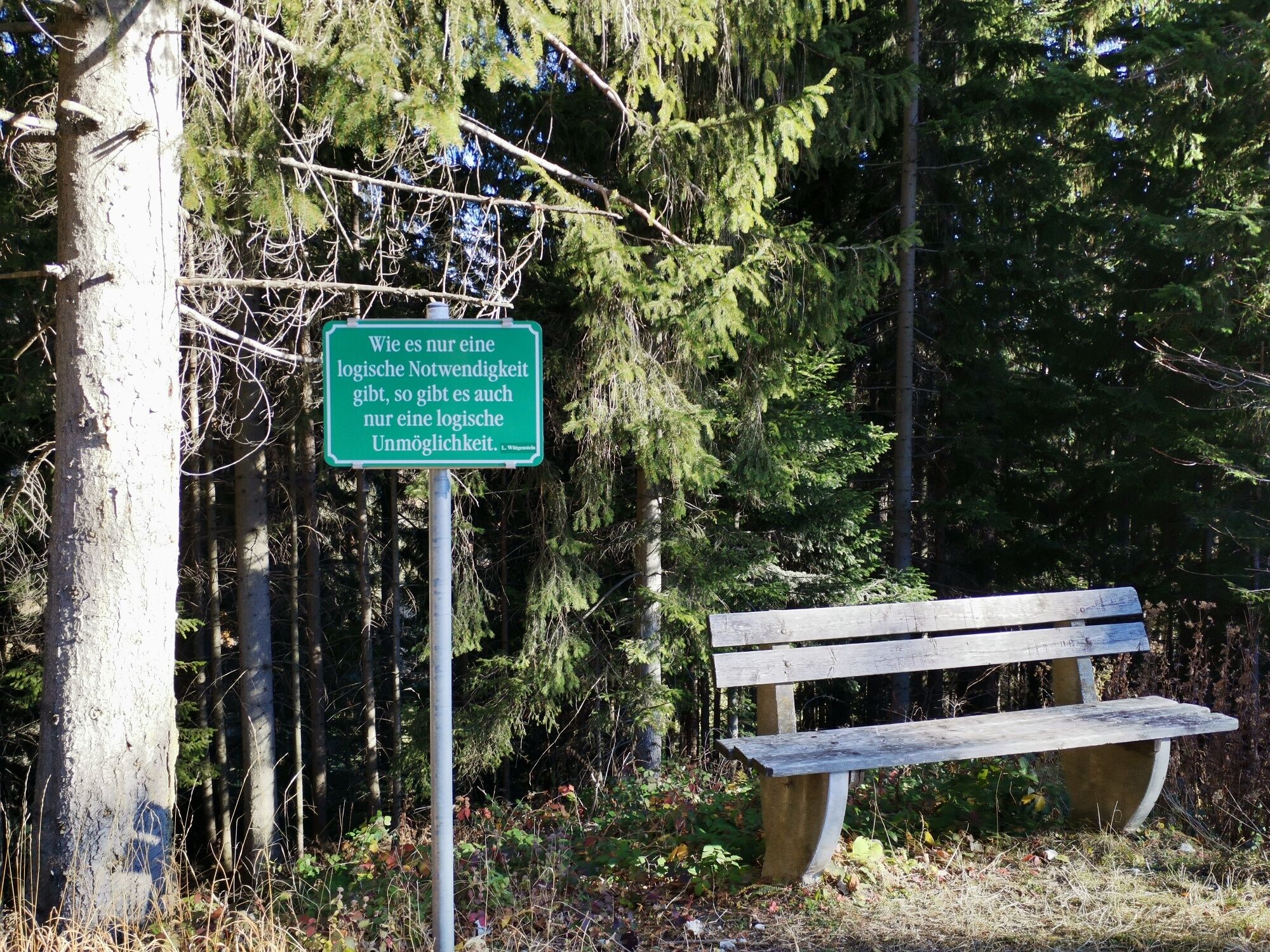
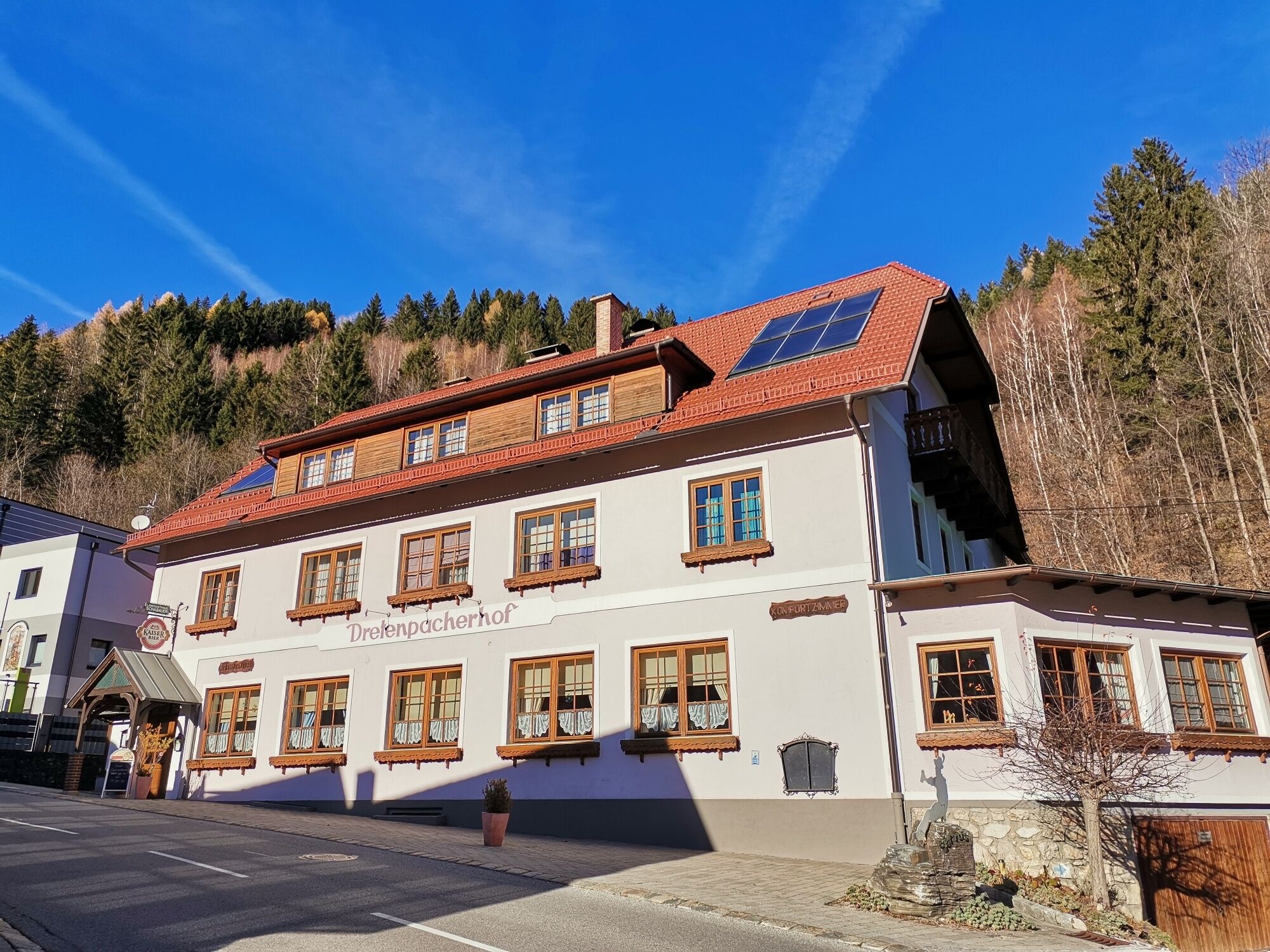
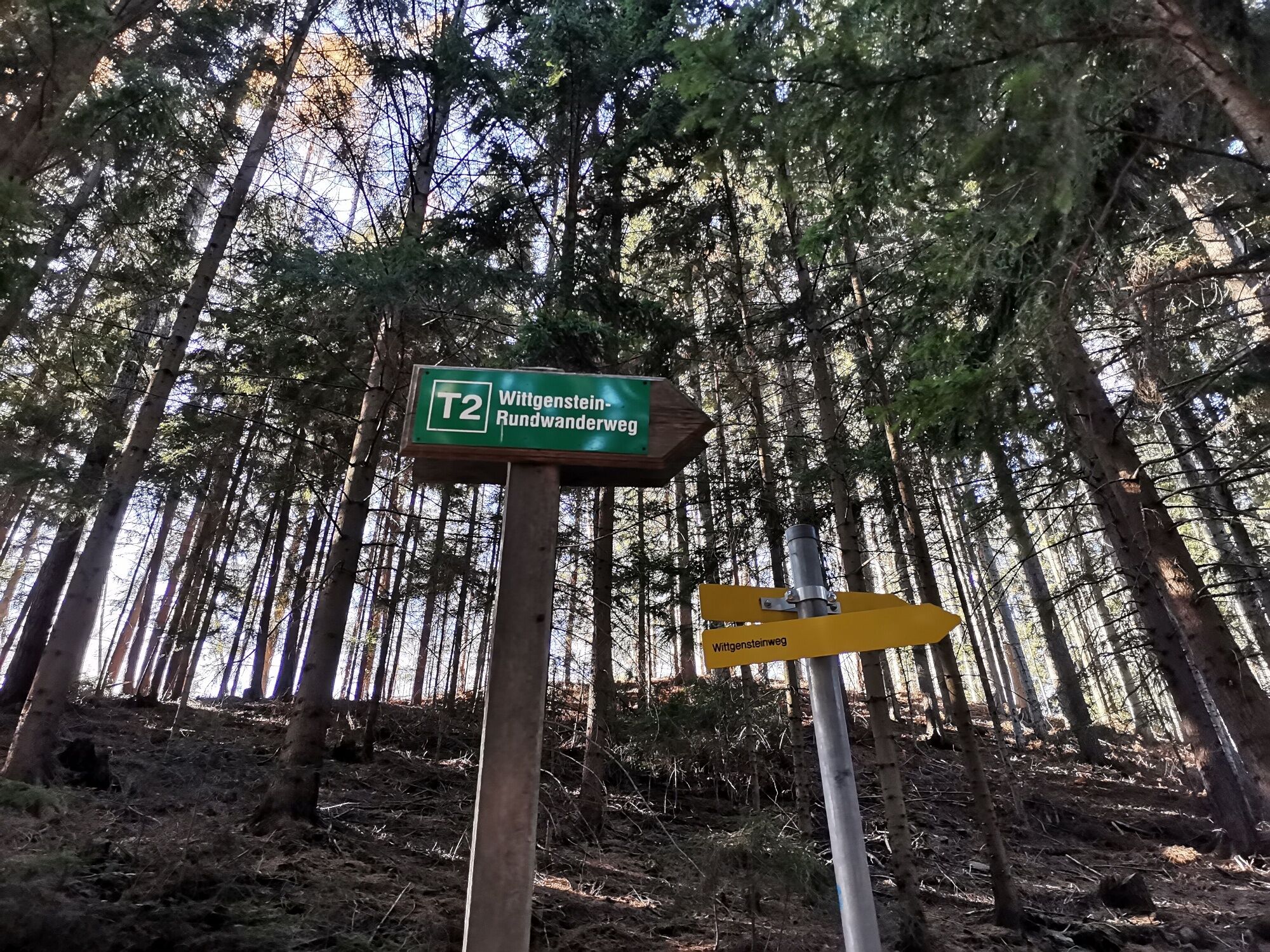
The Wittgenstein route starts between Dretenpacherhof and the municipal office where the first green board already welcomes you with the philosopher's words. The asphalted scenic path continues slightly...
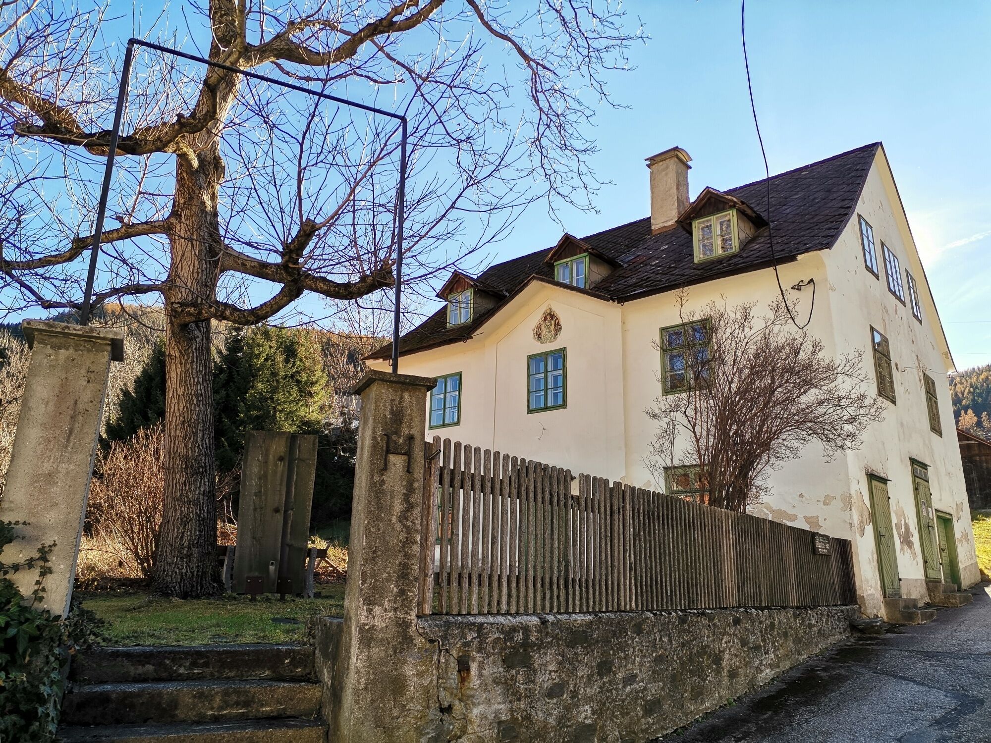
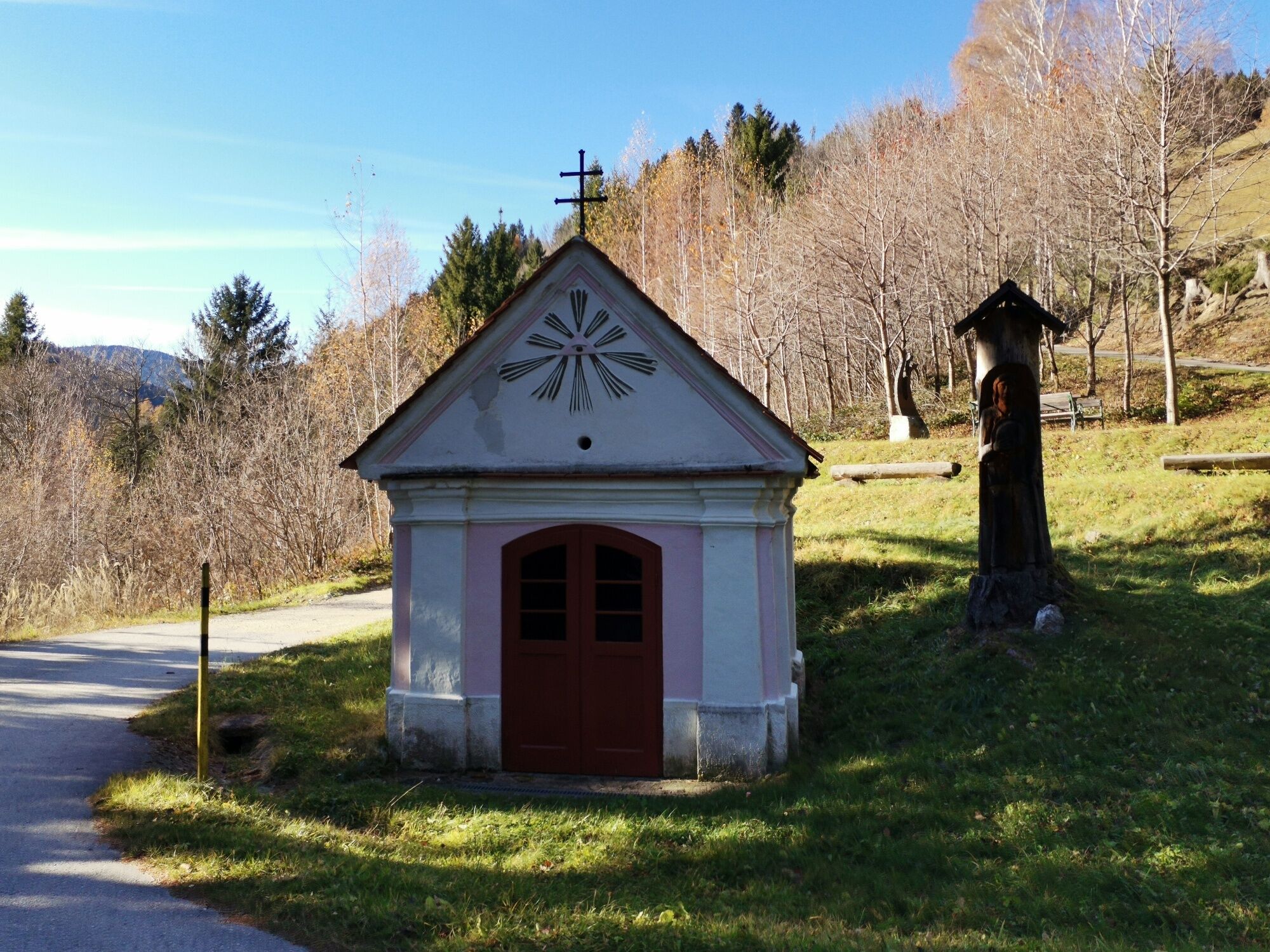
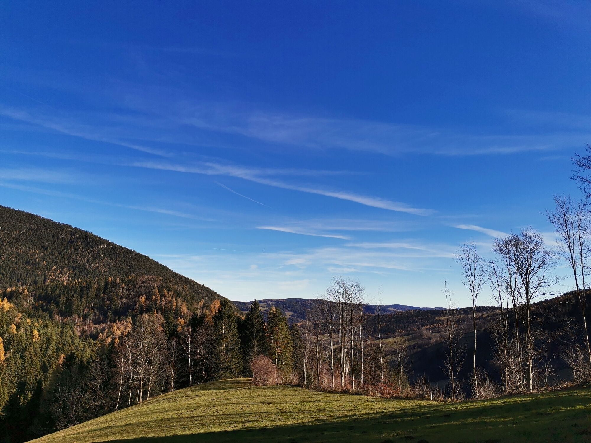
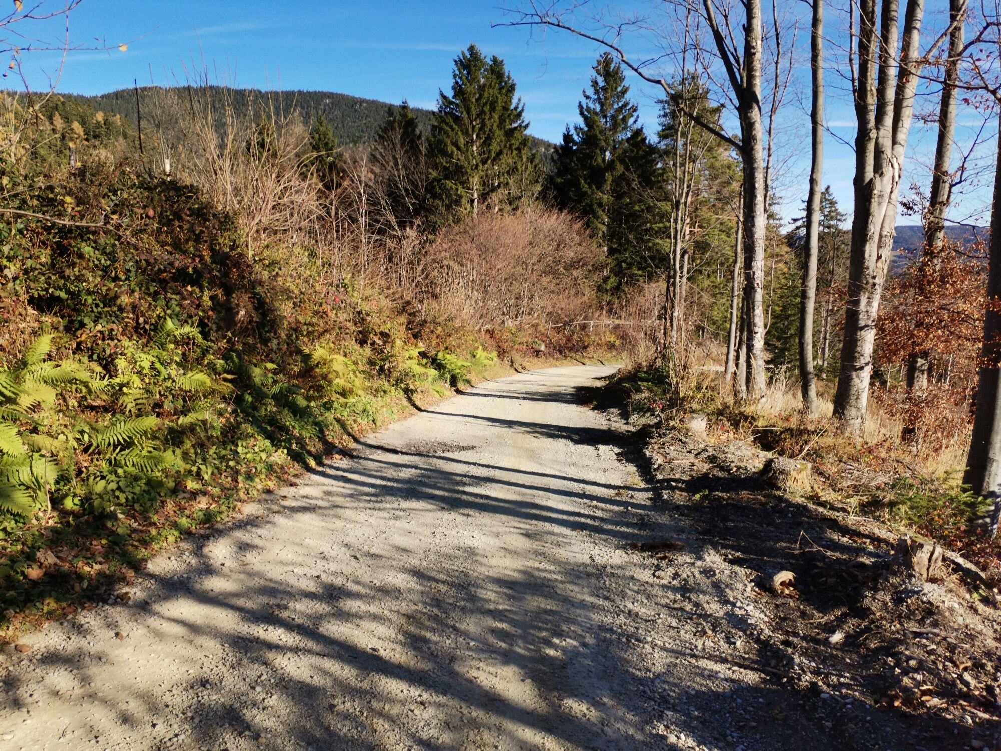
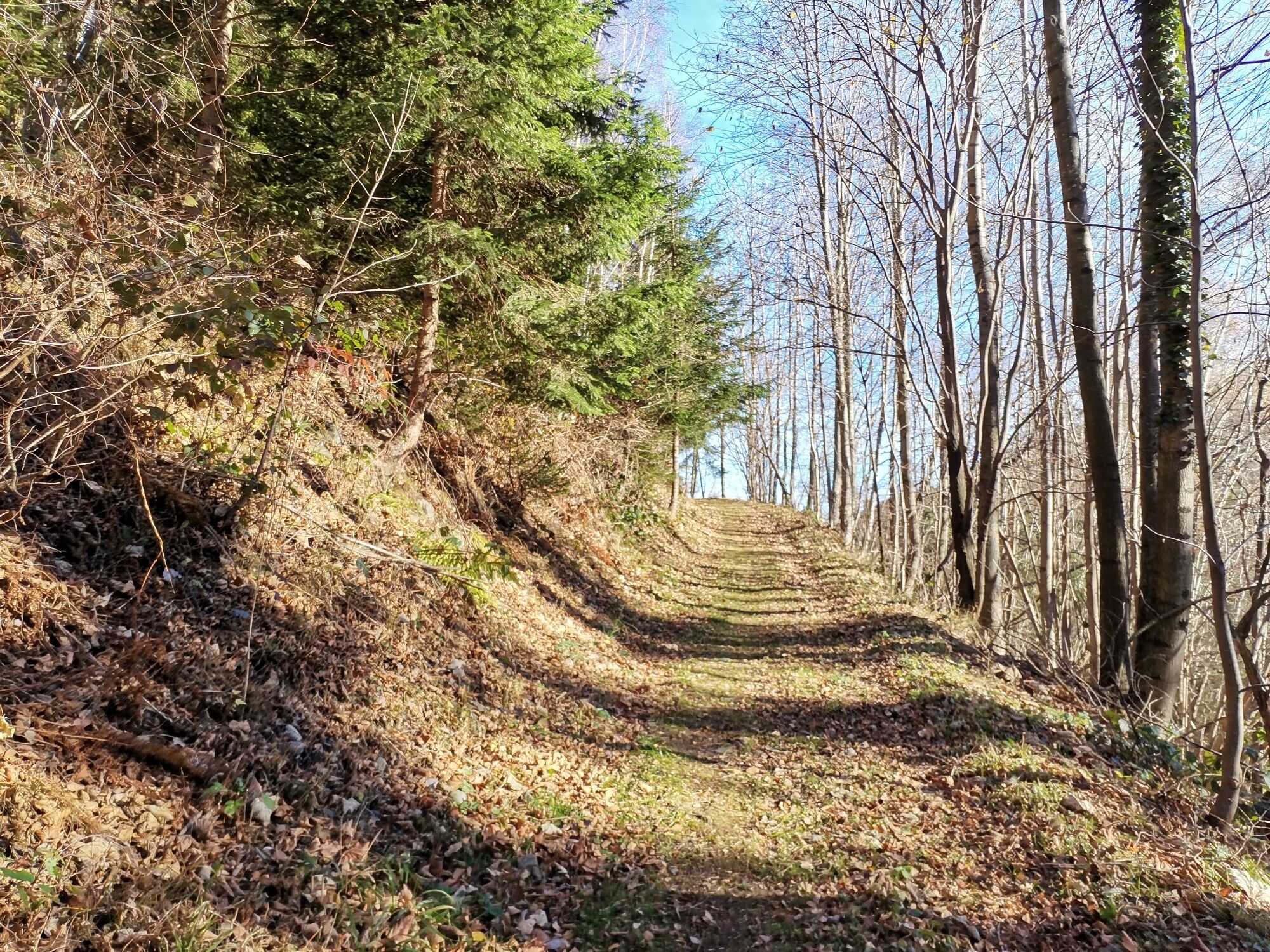
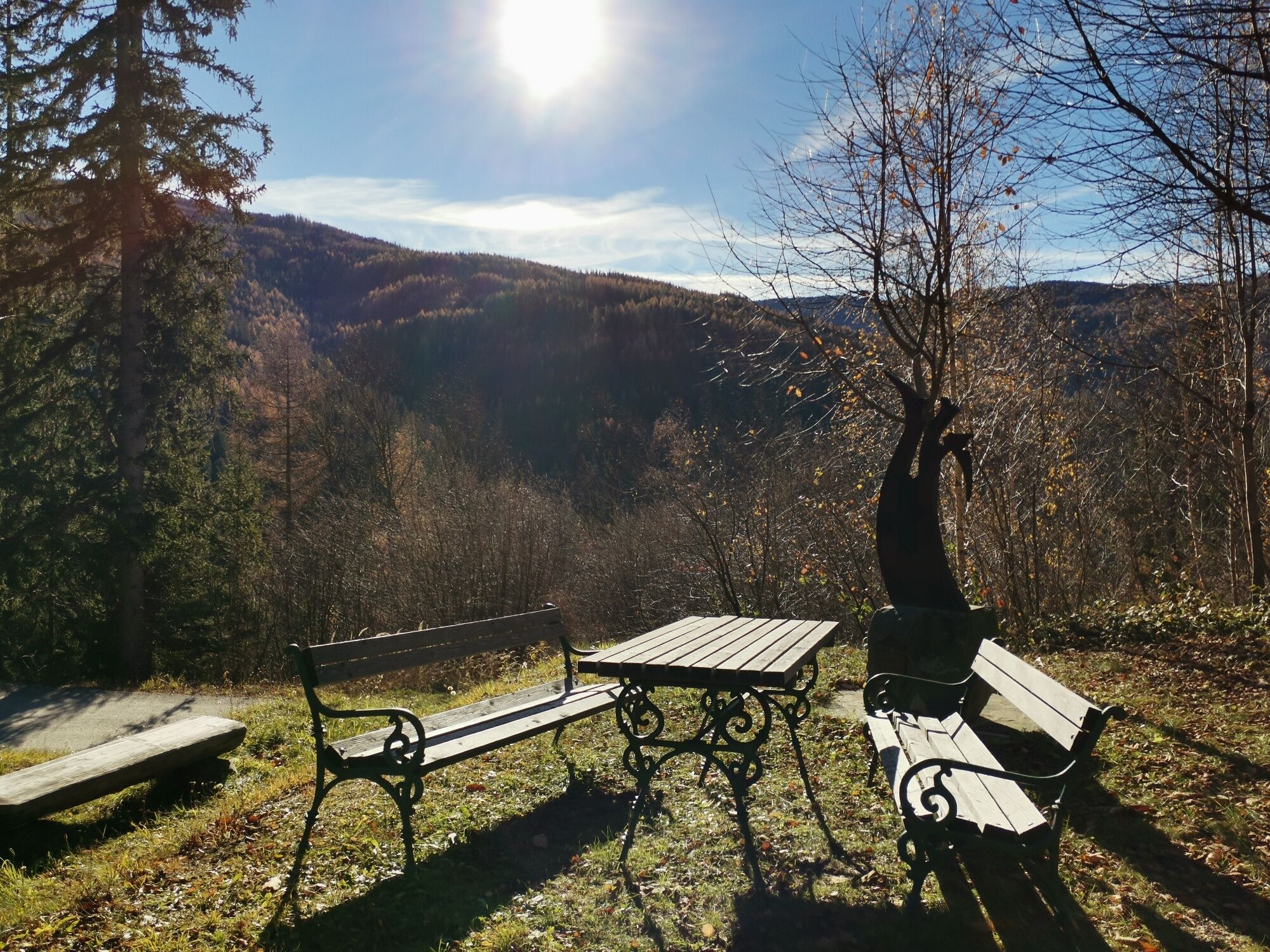
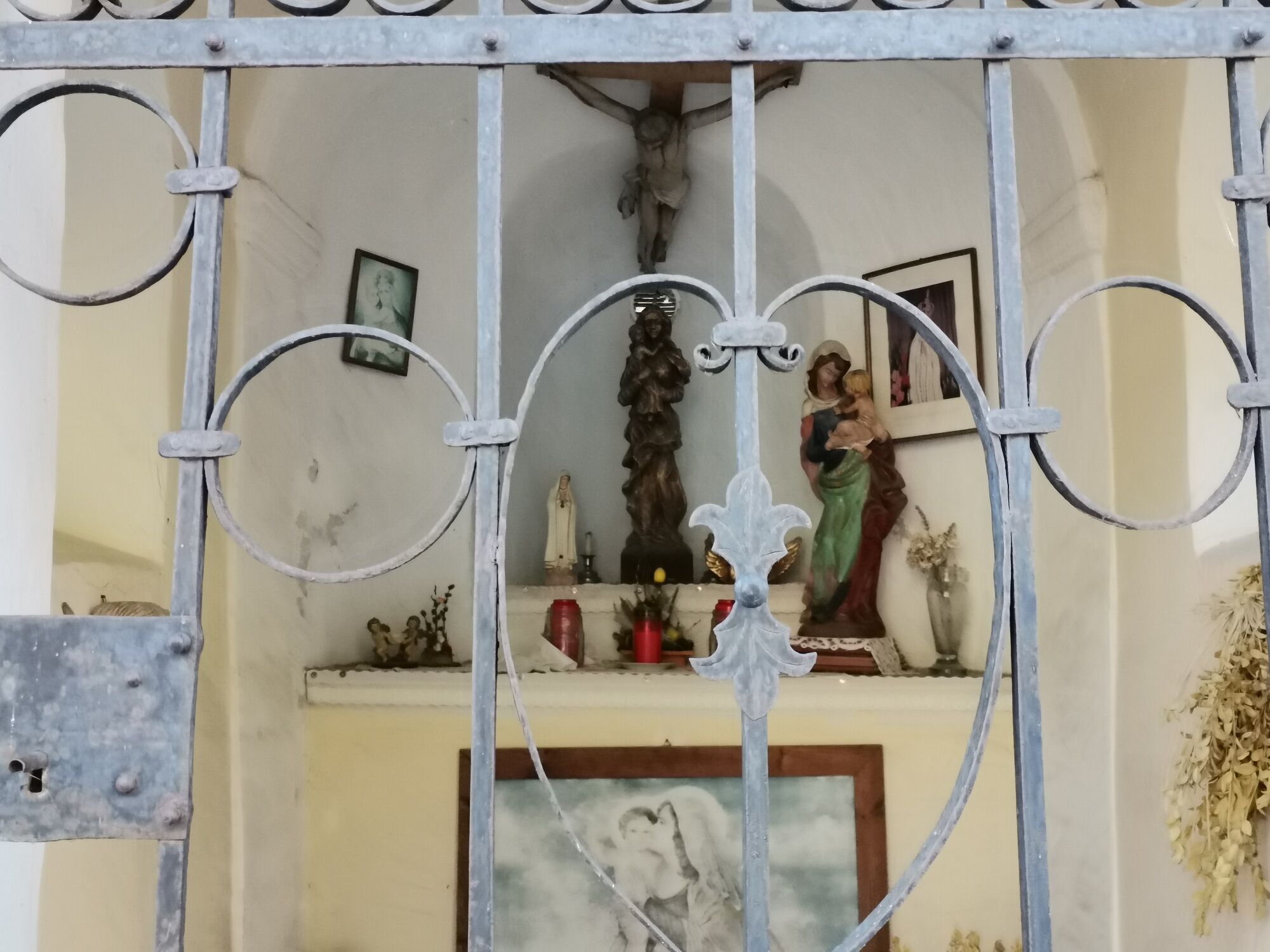
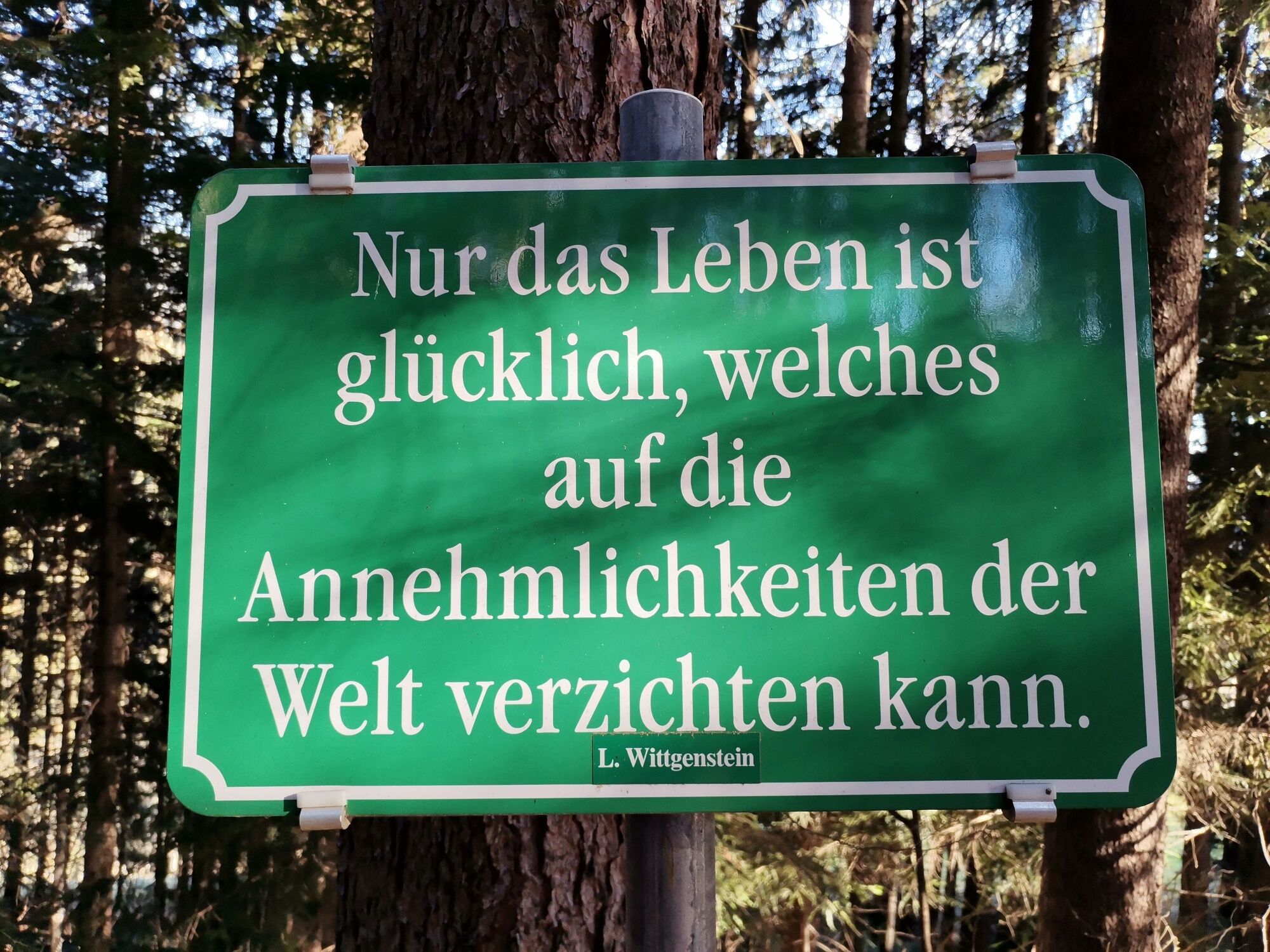
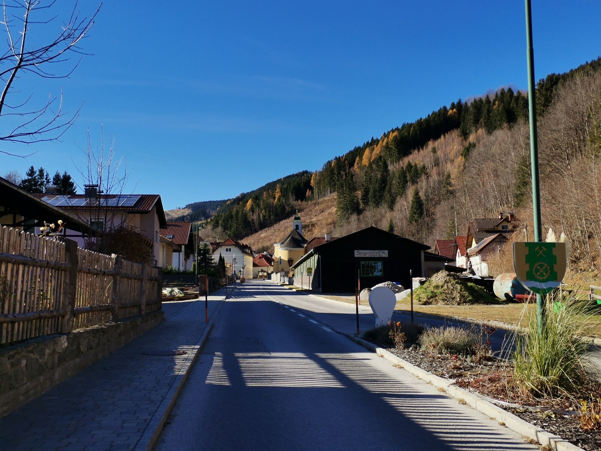
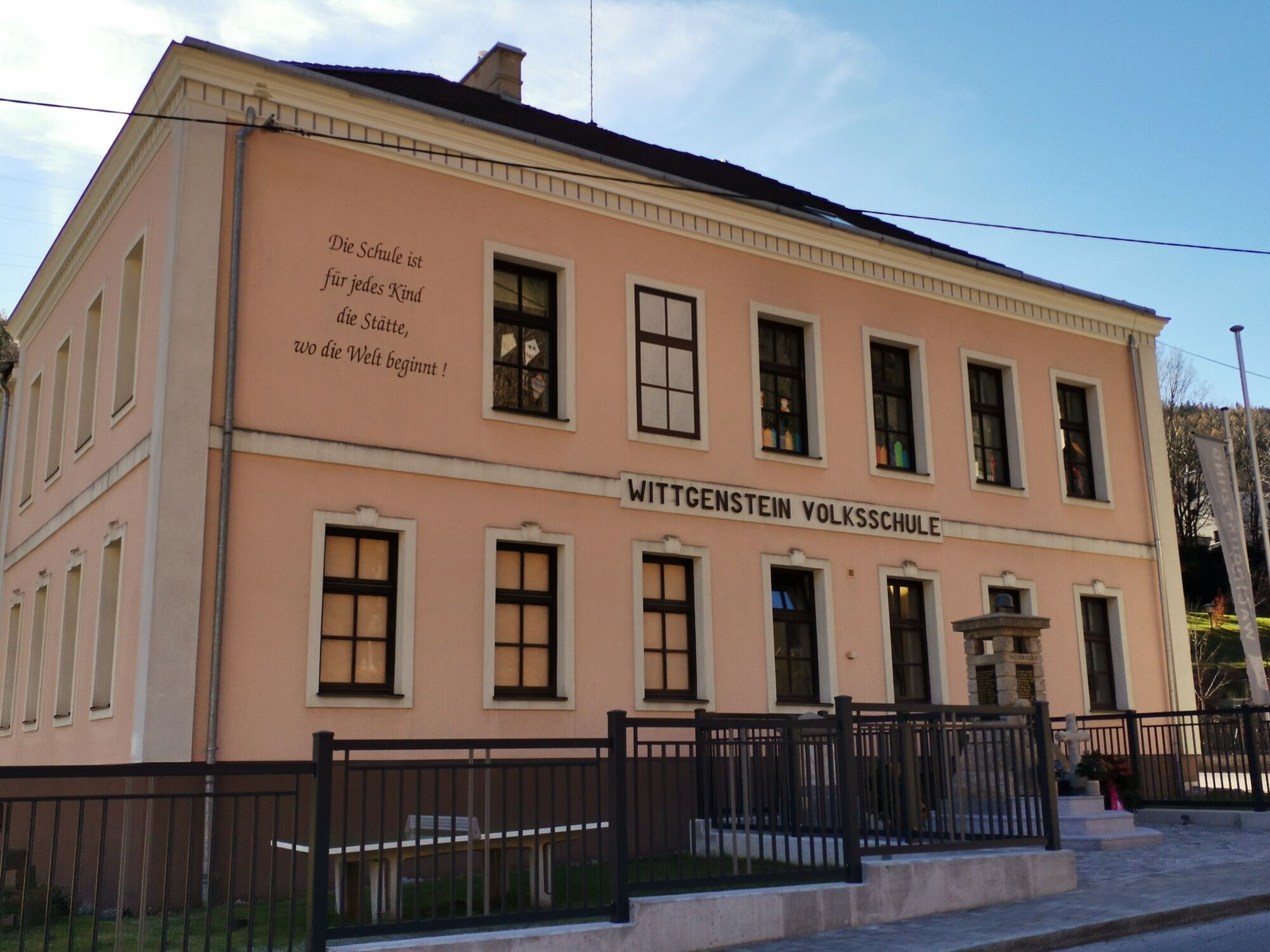
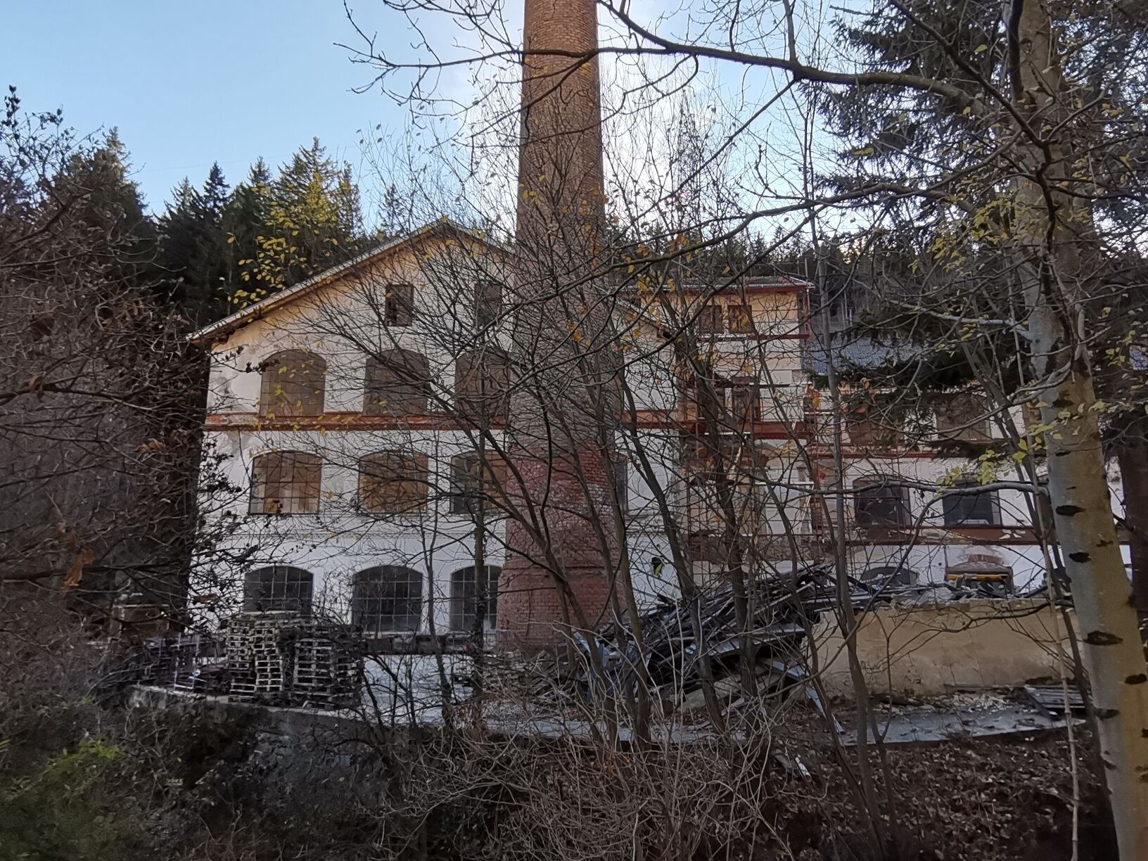
<p>The Wittgenstein route starts between Dretenpacherhof and the municipal office where the first green board already welcomes you with the philosopher's words. The asphalted scenic path continues slightly uphill. Keep right and continue uphill along the forest path to the next signposts. Follow the blue marking to the highest point of the hike, the Traht Chapel (Markus Chapel) at 835 meters. The rest area behind it impresses with its quiet location and beautiful mountain views. Then keep right and go down the forest path, then right again to the meadow which leads through a small gate onto the Mautnerweg. Go down the gravel road to the left past the Webermaterl to the main road. After that, the route leads right along the street, left past the factory building, and straight ahead to the Schneeweiß Chapel. Facing the village and accompanied by the sound of the brook, you reach the last quote on the route back to the starting point - "School is for every child the place where the world begins!</p>


<p>Always take suitable maps with you. Wear sturdy shoes appropriate for the route. Take your mobile phone with you and save the mountain rescue emergency number: 140</p><p><strong>Preparation</strong></p><p>Make sure when choosing the route that it matches your experience and fitness. Check the weather forecast in advance. Weather in the mountains can change surprisingly fast. Therefore, always set out properly equipped (e.g., rain protection).</p><p>Check if the inns you want to visit along the way are open. Inform someone about your chosen route and your planned return before you start.</p>
<p>Take the S6 exit Gloggnitz and continue on Höllental Str./B27, turn left to stay on Höllental Str., then turn right onto Schlaglstraße, pass Wartenstein Castle towards Schlagl - Otterthal and Trattenbach.</p>
<p>From Gloggnitz station take line 367 to the Feuerwehr Otterthal stop. From there continue with line 368 to the center of Trattenbach.</p><p>Information on the timetable can be found at <a href="anachb.vor.at/">Routenplaner VOR AnachB</a></p>
<p>Parking is available either at the rectory or on the square in front of the Wittgenstein Museum</p>
Those who want to shorten the route have the option to hike up the Mautnerweg to the right after the small gate and return the same way to Detenpacherhof.
For a longer stay or a stopover, the Gasthaus Hubertushof is recommended.
Kamery internetowe z trasy
Uzyskaj wgląd
Zawsze na żywo z ponad 9 500 kamer internetowych. bergfex Jako użytkownik Pro, możesz teraz zobaczyć odpowiednie kamery internetowe dla wielu wycieczek w aplikacji wycieczki od. Pozwala to na bezpośredni podgląd aktualnych warunków.
Popularne wycieczki w okolicy
-
4,8
Hochwechsel-Runde, Waldbach-Mönichwald
średniTrailrunning 17,9 km -
3,7
Schwaigen Rundwanderung
światłoWędrówka 8,24 km -
4,8
Cultural walk Payerbach-Reichenau
światłoWędrówka 7,43 km -
4,8
"Krummbachstein 1602m" - Eng - Payerbach - Rundwanderweg
średniWędrówka 24,8 km -
3,8
St. Corona - Kampstein
średniWędrówka 10,7 km -
4,8
Karl Lechnerhaus - Stuhleck
średniWędrówka 7,81 km -
4,7
Raxgebiet: Brandschneide
średniWędrówka 16,5 km -
4,7
Gsohlhirnsteig - Ottohaus - Törmweg (Rundwanderung)
średniWędrówka 11,0 km -
4,6
Prigglitz - Pottschacher Hütte - Rote Wand - Prigglitz
światłoWędrówka 8,80 km -
4,6
Vom Semmering nach Breitenstein am Bahnwanderweg (September 2023)
światłoWędrówka 9,94 km

Wędrówki i tropienie


Nie przegap ofert i inspiracji na następne wakacje
Twój adres e-mail została dodana do listy mailingowej.





