







Nature Park Hohe Wand - Animal Enclosure Circular Walk
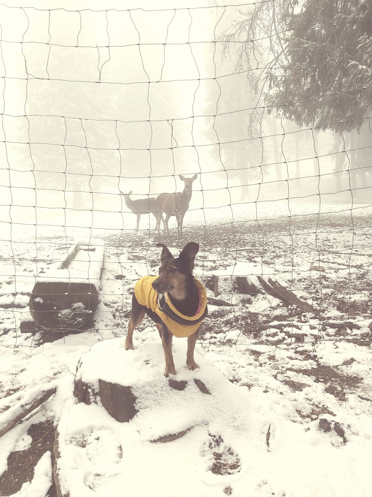
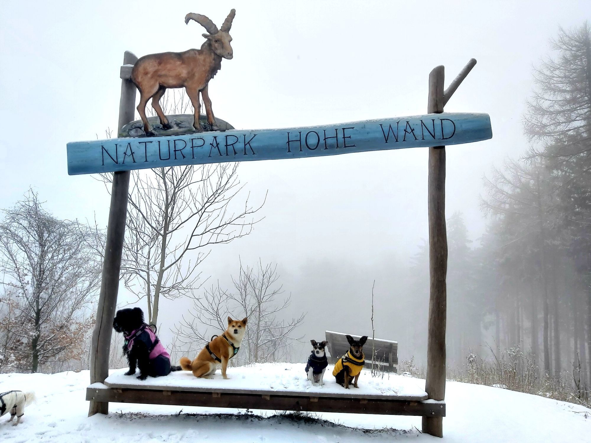
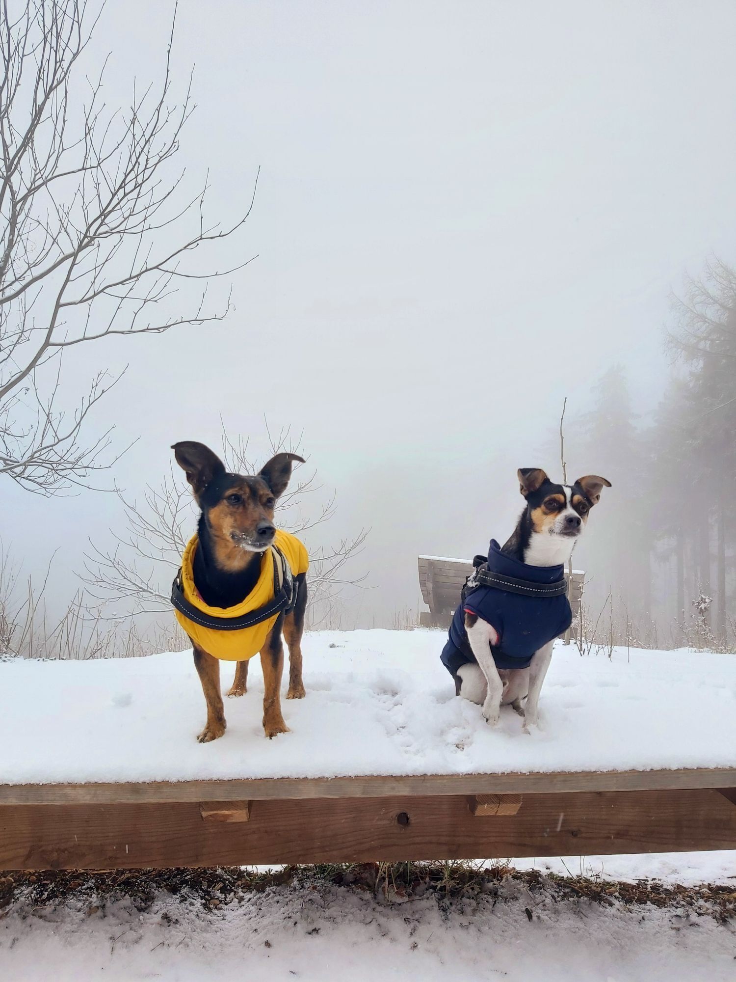
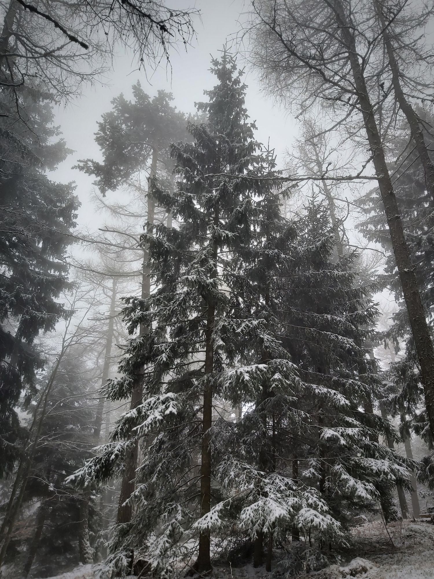
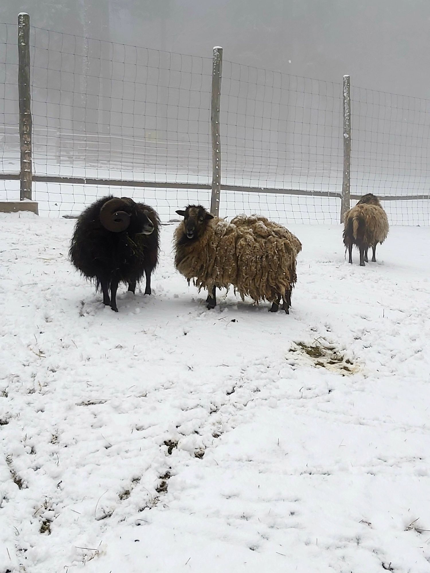
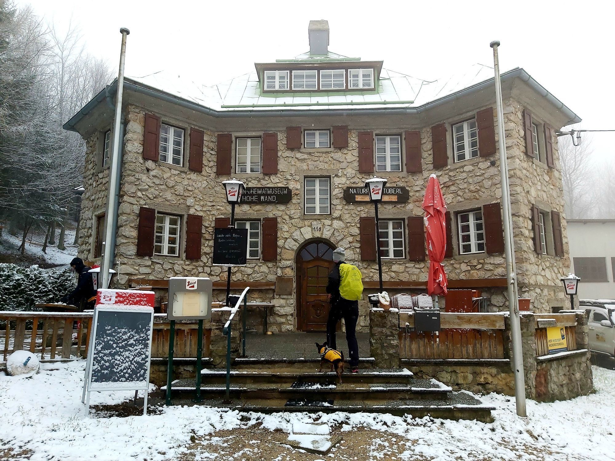
In the enclosures of the nature park you can observe wild animals such as deer, ibex or sika deer in their natural habitat. What do the animals eat, how do they communicate with each other? Learning and...
<p>In the enclosures of the nature park you can observe wild animals such as <strong>deer, ibex or sika deer</strong> in their natural habitat. What do the animals eat, how do they communicate with each other? Learning and amazement is very easy at the Hohe Wand Nature Park. <br />The deer in the enclosures are very curious and even eat from the hand. There are also ibex, marmots, and sika deer to see. On the wooden walkways, there is a good view of the wild animals in the enclosures. The highest point of the hike is Bromberg at 1078m.<br />For groups, there are also guided <strong>wildlife feedings</strong> with the park ranger, <strong>llama hikes</strong>, or <strong>forest adventure tours</strong>.<br />The path is also stroller accessible.</p>

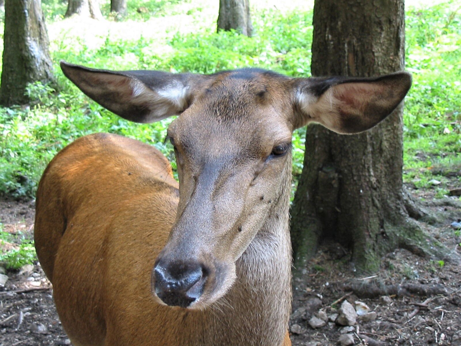
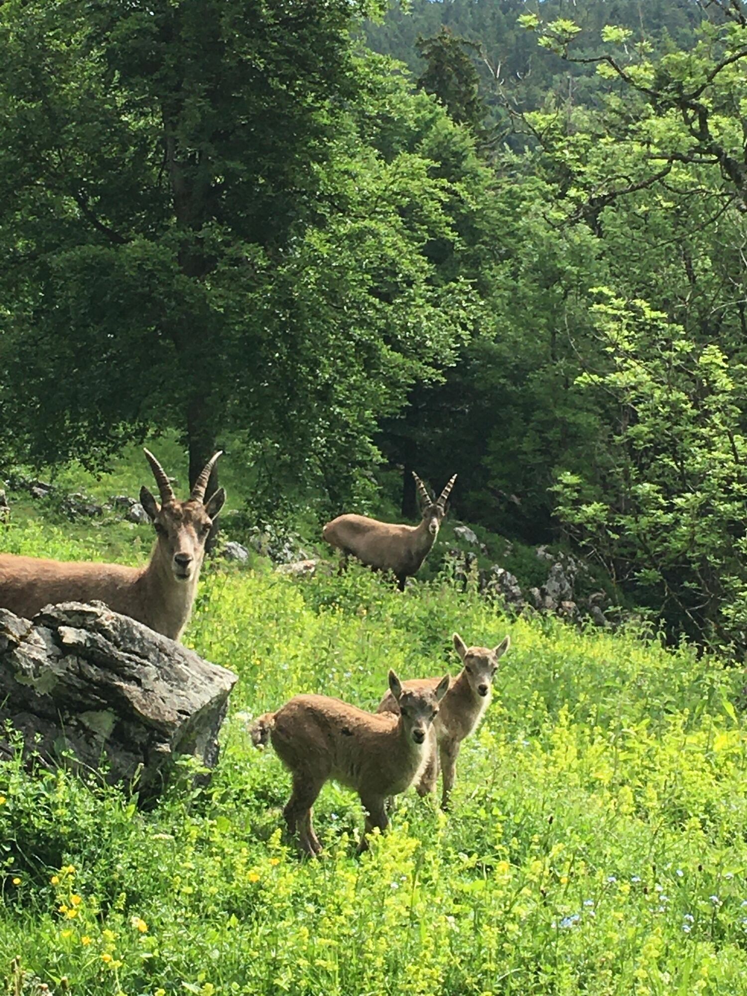
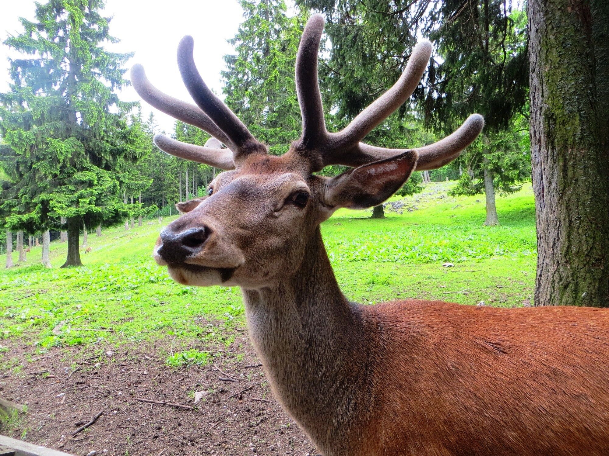
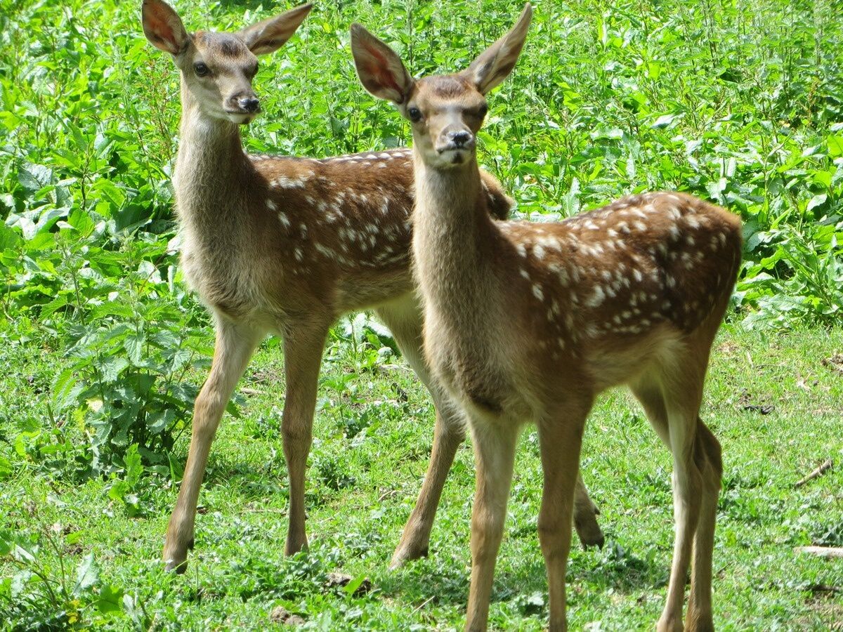
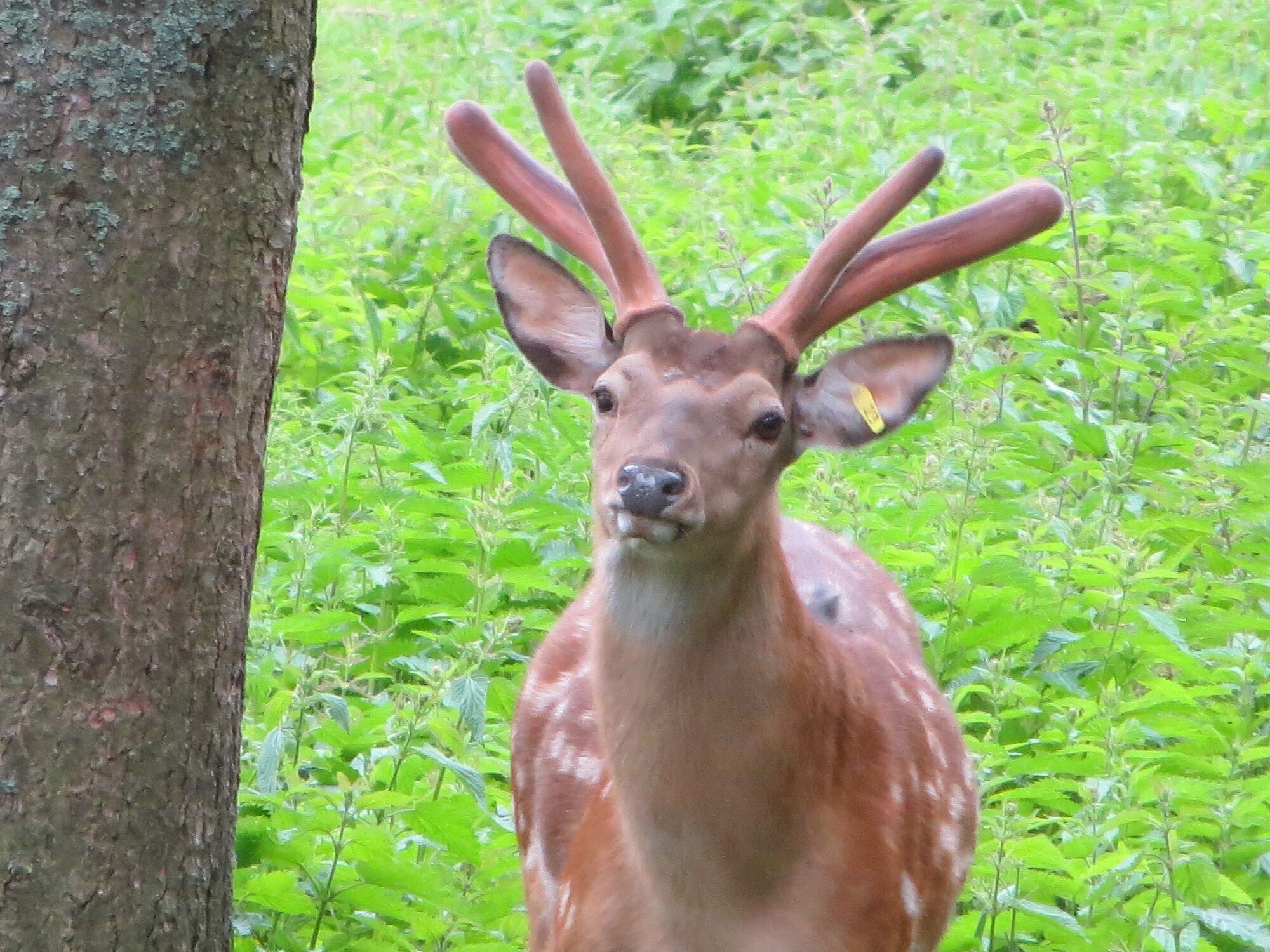
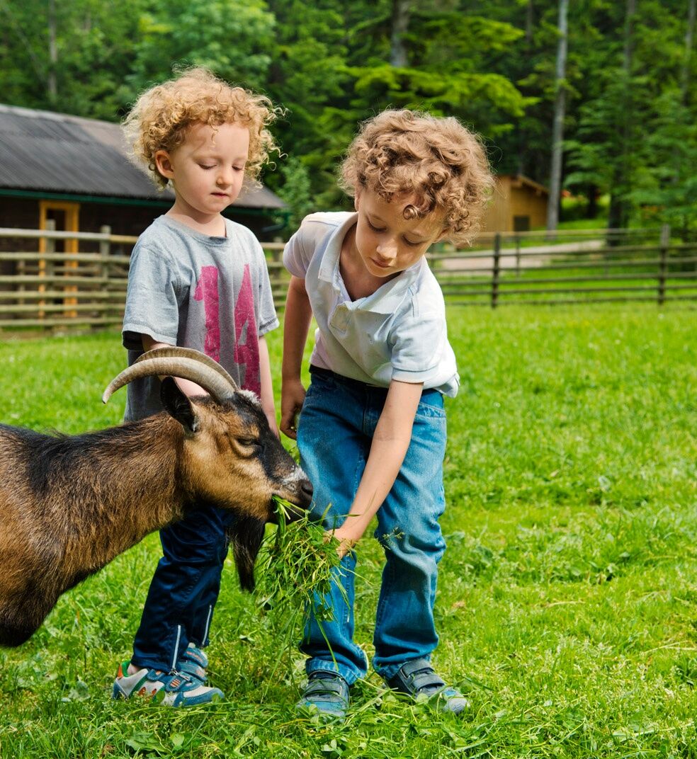
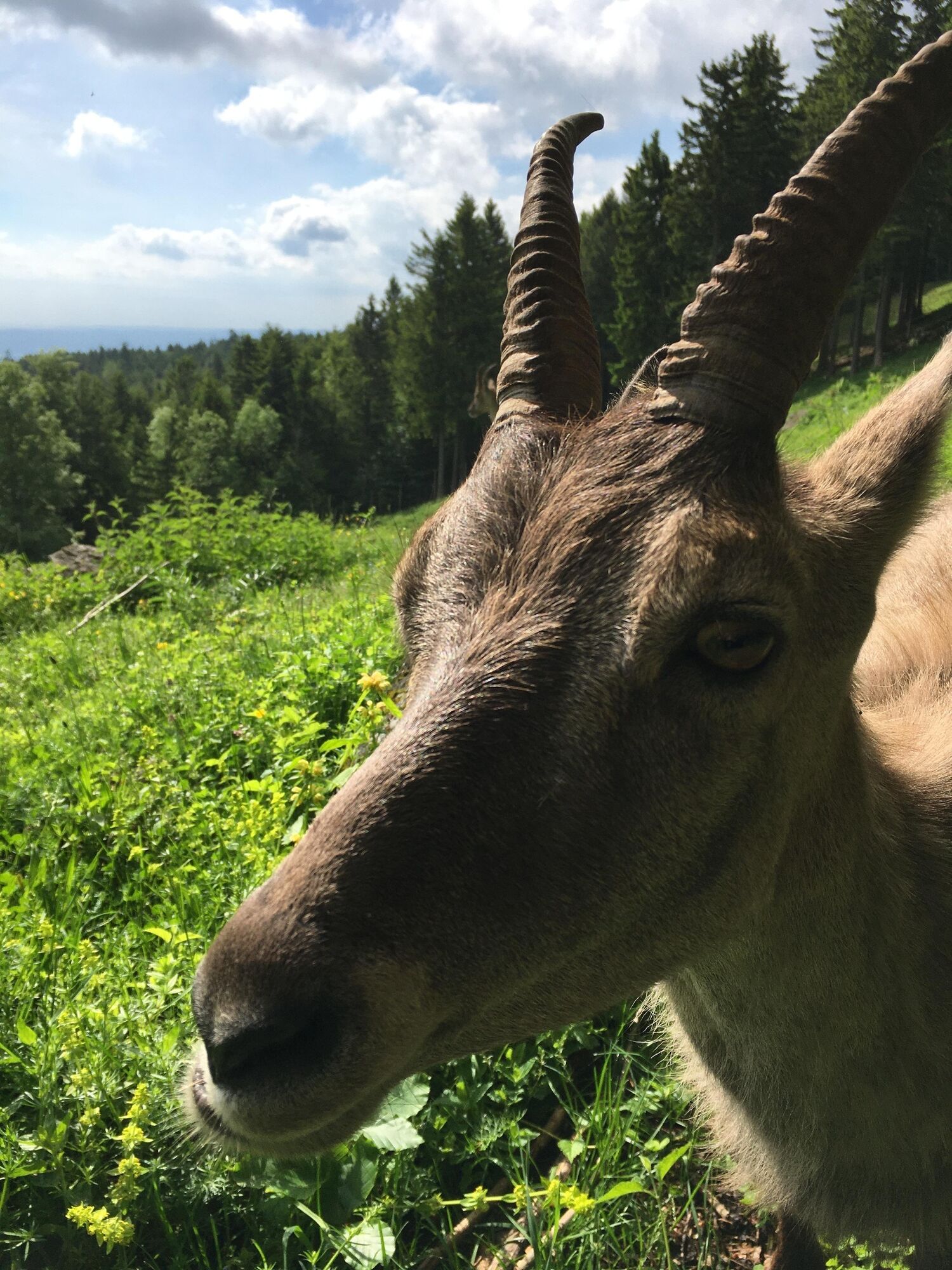
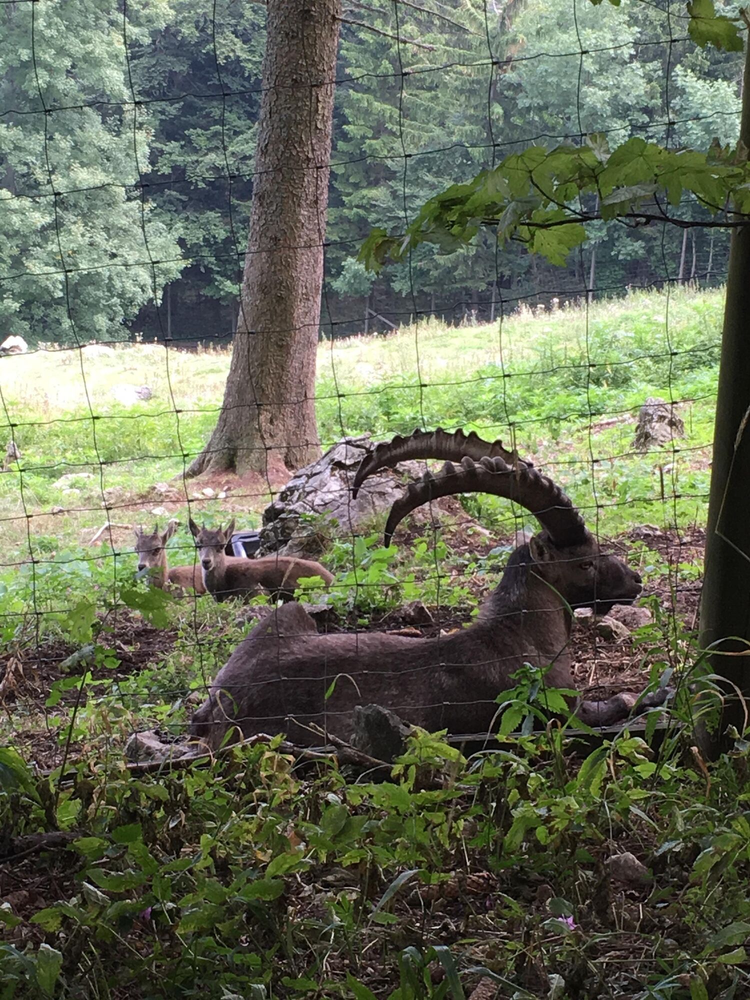

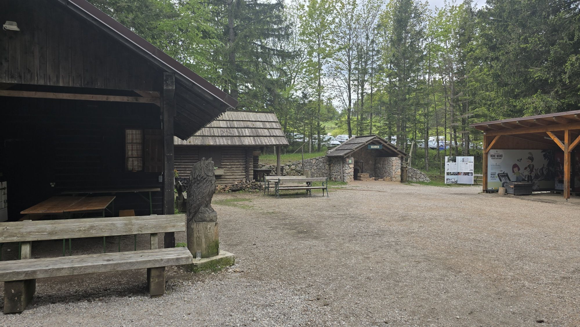
<p>We start the hike at the petting zoo - here the hungry petting zoo residents can be fed with food from the vending machine. Then we continue to the village square/Köhlerplatz. Up a small hill, then we walk level through the forest to the deer enclosure. The deer are very curious and even eat from the hand. After these animal encounters, we go uphill to the enclosures of ibex/marmots and sika deer. On the wooden walkways, we have a good view of the wild animals. Another stretch uphill to Bromberg 1078m - here is the highest point of the animal enclosure circular route. On a wide path, we walk gently downhill back to the starting point.</p>
<p>Always take suitable <strong>maps</strong> with you. Put on sturdy <strong>shoes</strong> suitable for the route, take sun and rain protection as well as water and a snack. Take your <strong>mobile phone</strong> with you and save the emergency number of the mountain rescue: 140</p>
<p>Your hikes in the Vienna Alps should be an all-around beautiful and safe experience. Please therefore note the following:</p><p><strong>Preparation</strong></p><p>Make sure when choosing the route that it matches your experience and your <strong>condition</strong>. Inform yourself in advance about the <strong>weather forecast</strong>. Weather can change surprisingly quickly in the mountains. Therefore, always start out suitably equipped (e.g. rain protection).</p><p>Check whether the <strong>huts and snack stations</strong> you want to visit on the way are open. <strong>Inform</strong> someone about your chosen route and your planned return before you leave.</p>
<p><strong>From the direction of Vienna</strong></p><p>1) A2 – exit Wöllersdorf – right B21 towards Gutenstein – turn off to Dreistetten – Muthmannsdorf – Emmerberg – Gaaden – Stollhof – all year round over the mountain road to the plateau of the Hohe Wand<br /> 2) A2 – exit Wiener Neustadt West – Weikersdorf – Winzendorf – Emmerberg – Gaaden – Stollhof – Hohe Wand</p><p><strong>From the direction of Graz</strong></p><p>3) From Neunkirchen – Würflach – Willendorf – Höflein – Zweiersdorf – Maiersdorf – Hohe Wand</p>
<p>Take the Southern Railway to Wr. Neustadt – change to the regional train towards Puchberg am Schneeberg to Winzendorf – change to the bus to Maiersdorf junction Hohe Wand Street. From here approx. 500m along the mountain road; the hiking trails start at the 1st bend/parking lot Sonnenuhr<br /><br />Take the Southern Railway to Wr. Neustadt – change to the regional train towards Puchberg am Schneeberg - exit Grünbach am Schneeberg - via the blue marked Grafenbergweg you reach the plateau at Wilhelm Eicher Hut in about 1.5 hours.<br /><br /> You can also take the Gutensteinerbahn (from the station Wr. Neustadt) to Oberpiesting or Waldegg and hike up the Hohe Wand from the backside.</p><p>More information at <a href="www.oebb.at">www.oebb.at</... and <a href="www.vor.at">www.vor.at</a&...
<p>Parking lot wildlife enclosure at the Nature Park Center, Kleine Kanzelstraße 241, 2724 Hohe Wand<br /><br /></p>
Nature Park Hohe Wand, www.naturpark-hohewand.at
Nature Parks Lower Austria, www.naturparke-noe.at
Vienna Alps in Lower Austria, www.wieneralpen.at, +43 / 2622 / 78960
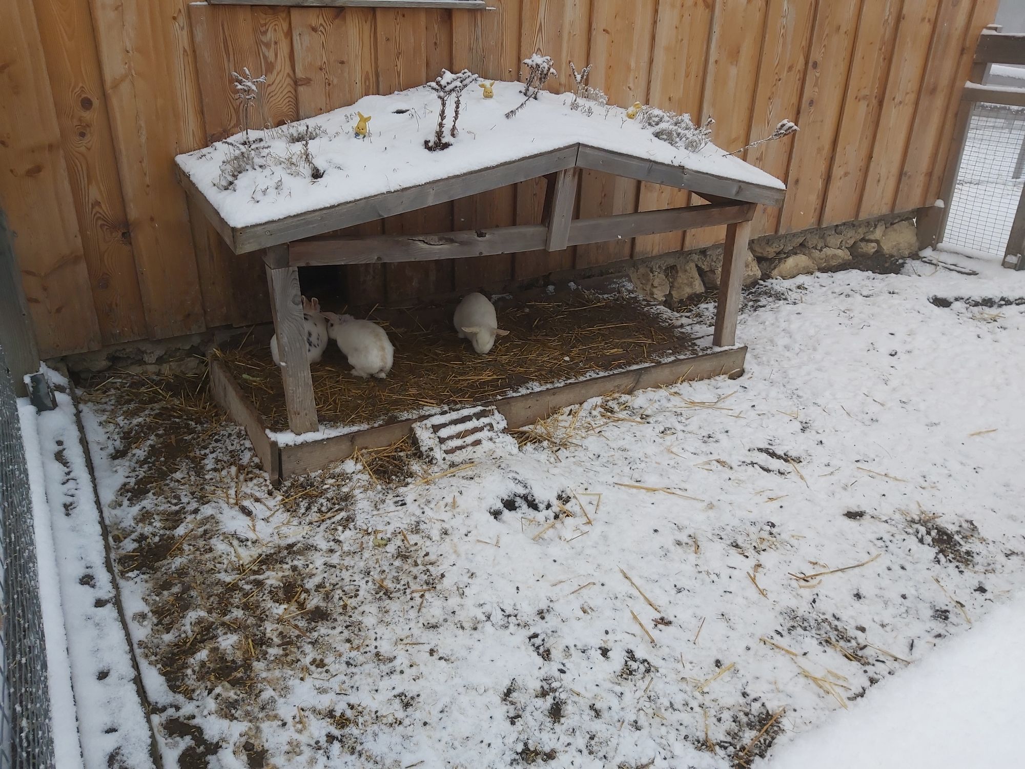
Enter and amaze: At the beginning of the round, goats, donkeys, ponies, pigs and alpacas are waiting in the petting zoo. They look forward to food and petting.
Kamery internetowe z trasy
Uzyskaj wgląd
Zawsze na żywo z ponad 9 500 kamer internetowych. bergfex Jako użytkownik Pro, możesz teraz zobaczyć odpowiednie kamery internetowe dla wielu wycieczek w aplikacji wycieczki od. Pozwala to na bezpośredni podgląd aktualnych warunków.


Popularne wycieczki w okolicy
-
4,9
Flatzer Wand Wanderung
światłoWędrówka 5,62 km -
4,8
ÖTK Klettersteig (vormals HTL Klettersteig) und Blutspur (D/E)
ciężkiVia ferrata 1,41 km -
4,8
Gelände vom Grünbacher Sattel
średniWędrówka 7,52 km -
4,8
Schober- Öhler
średniWędrówka 12,2 km -
4,8
Hohe Wand: Babygrat (1+), Rundwanderung und Wagnersteig (A)
ciężkiWędrówka 11,8 km -
4,8
Hohe Wand Wagnersteig - Springlessteig
średniWędrówka 5,59 km -
4,7
Hohe Wand: Grafenbergweg - Große Kanzel - Rastkreuz - Gländ
średniWędrówka 9,03 km -
4,6
Kleine und große Klause - Rundwanderung
światłoWędrówka 7,10 km -
4,6
Grünbach - Eselsteig - Geländ
światłoWędrówka 5,22 km -
4,6
Losenheim - Maumauwiesen - Sebastianfall - Losenheim
średniWędrówka 8,32 km
Wędrówki i tropienie


Nie przegap ofert i inspiracji na następne wakacje
Twój adres e-mail została dodana do listy mailingowej.





