





Corona's Ant Trail
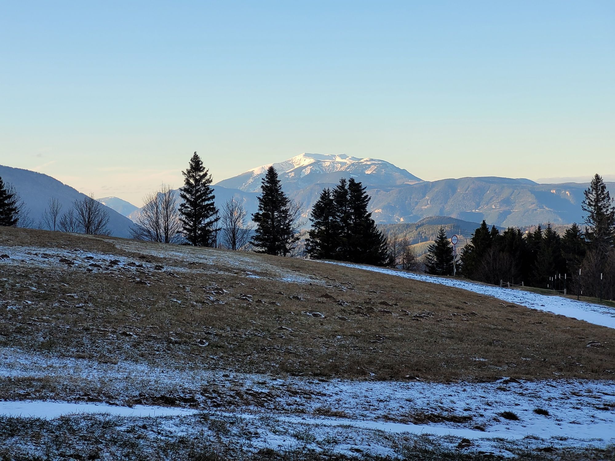
“Following the tracks of the queen of the forest” leads the new adventure trail in St. Corona past 15 playful and educational stations. Here children learn all about the life and duties of the tiny but...
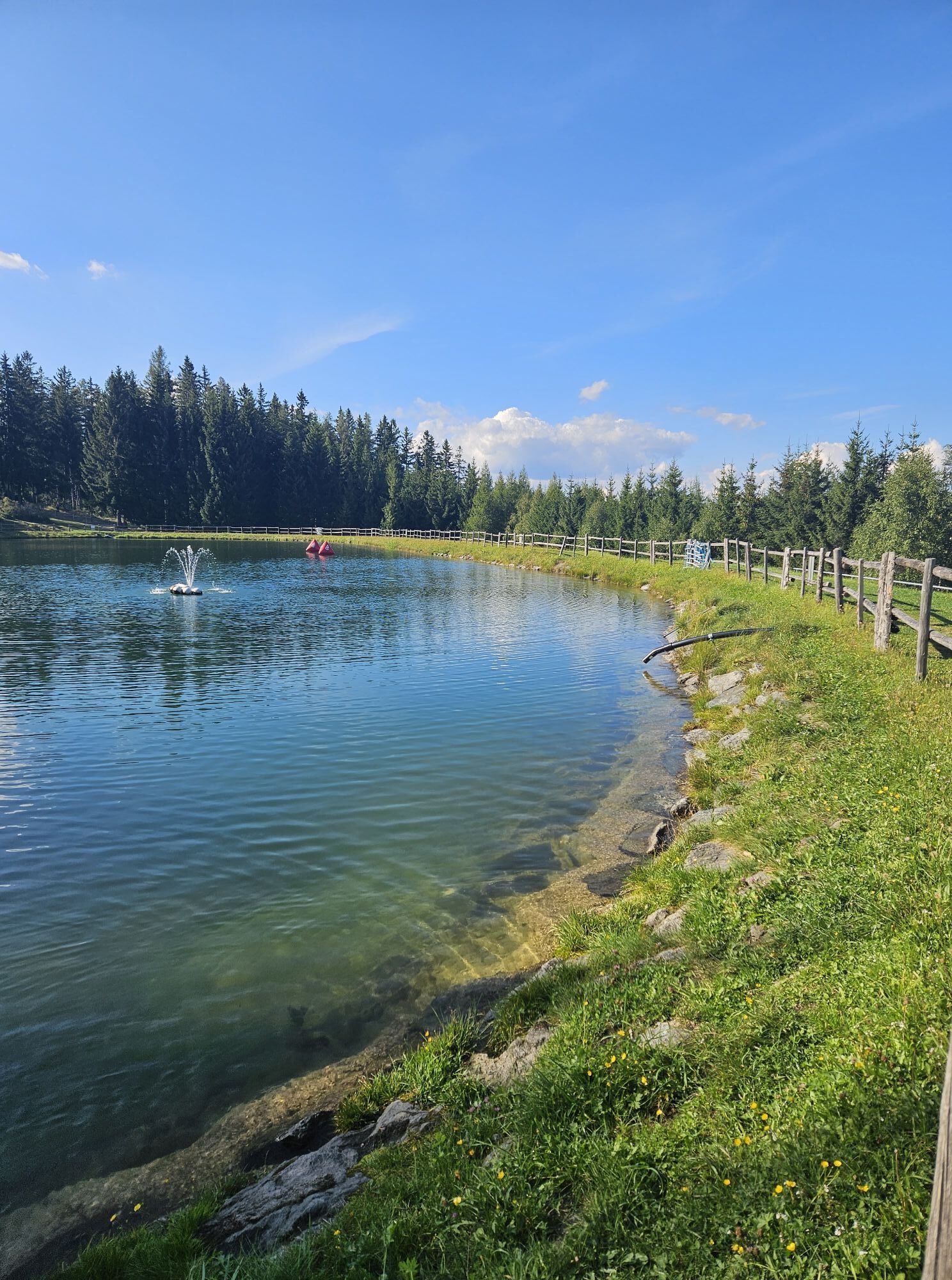
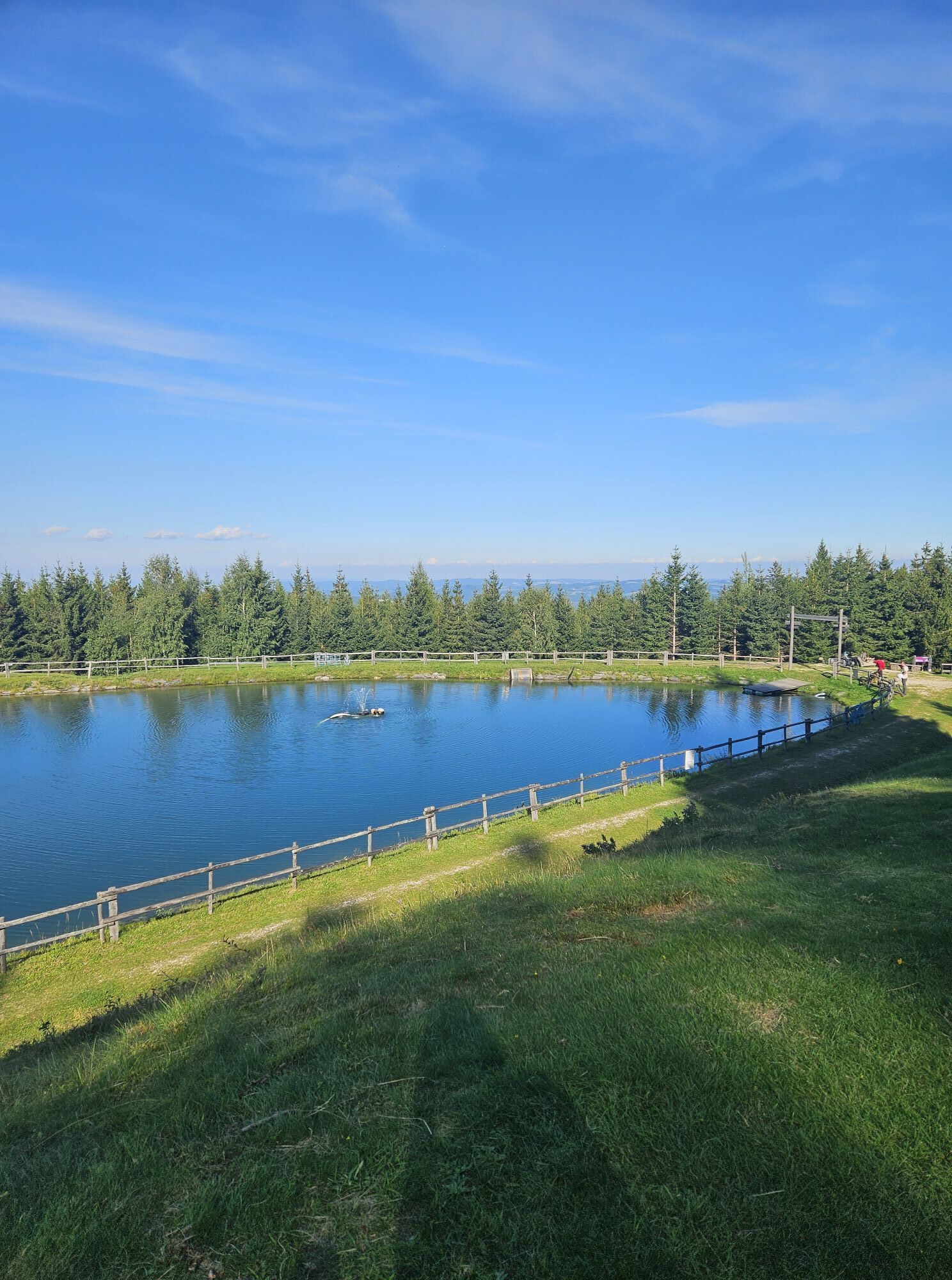
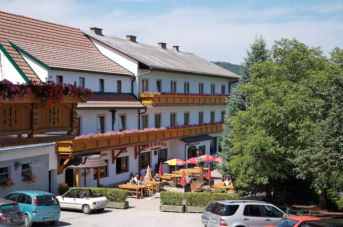
<p>“Following the tracks of the queen of the forest” leads the new adventure trail in St. Corona past 15 playful and educational stations. Here children learn all about the life and duties of the tiny but important forest dweller. The ant is rightly called the queen of the forest, as it carries many times its body weight over long distances, builds towers and tunnels, and keeps meadows and forest clean. The adventure trail extends over 2.5 kilometers at Kampstein and is perfect for families with children. To rest, there is a “relaxation area” with sun loungers and benches at the highest point of the hike by the reservoir pond.</p><p>The start and finish of the hike is at Gasthof Orthof. Here also starts the summer toboggan run, which guarantees excitement and thrills for the whole family. After the hike or coaster ride, you can strengthen yourself with hearty or sweet delicacies from Gasthof Orthof.</p>

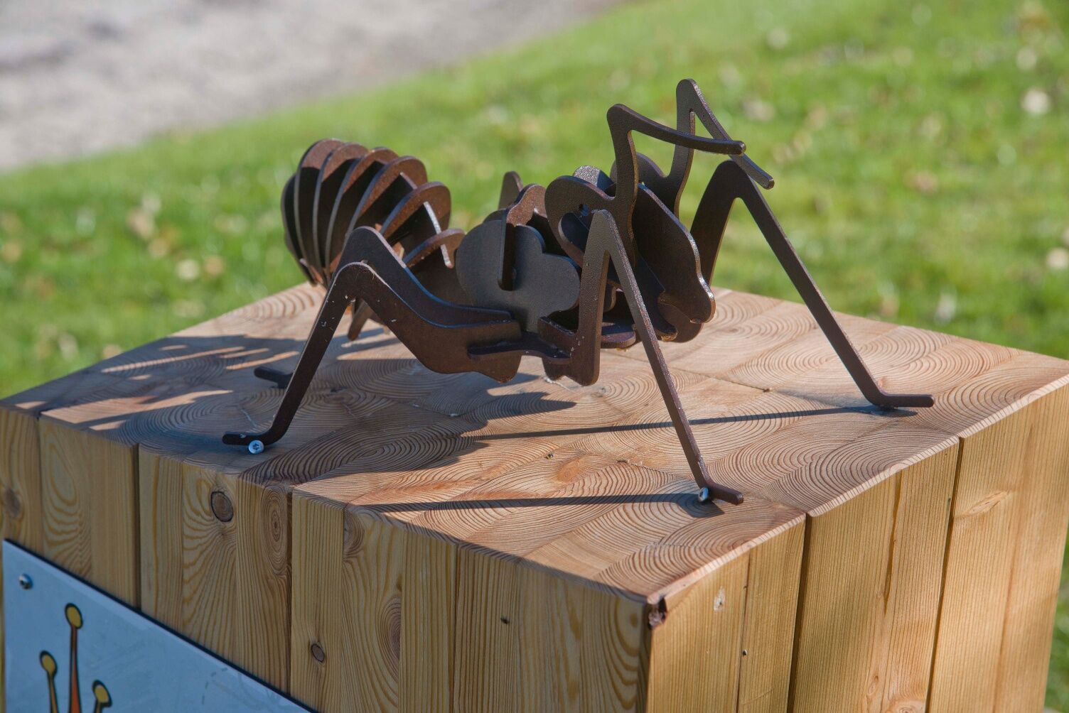
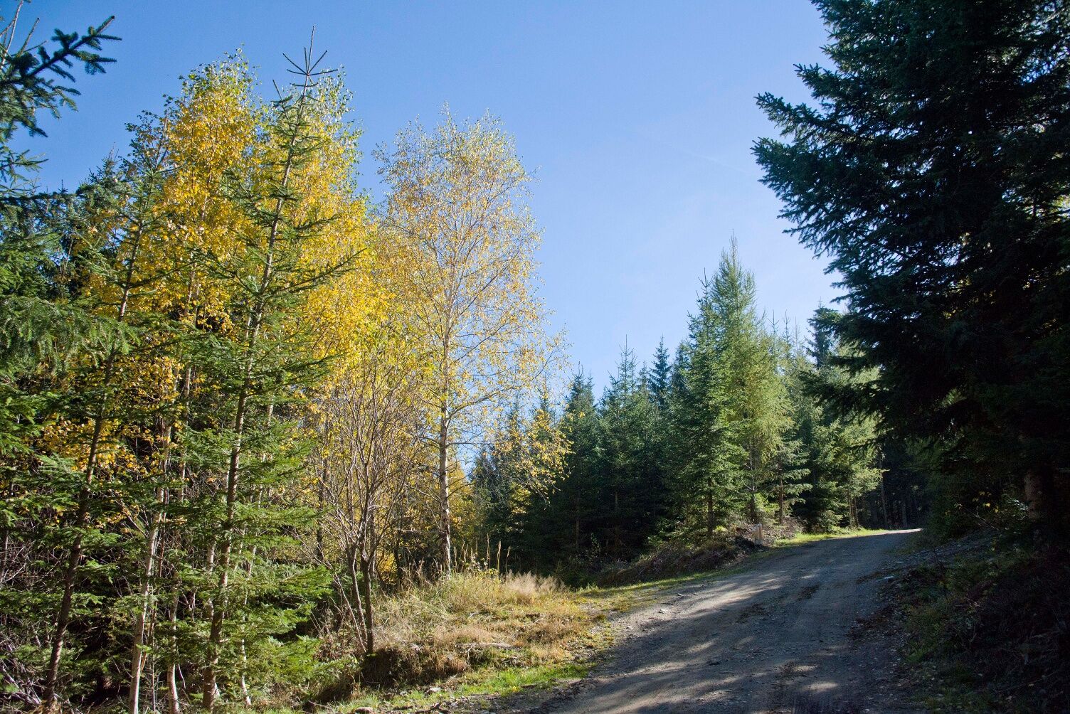
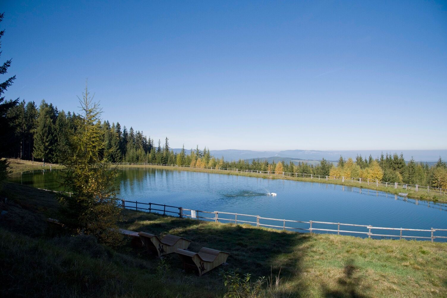


<p>At the starting point at Gasthof Orthof, we find a signpost. Initially, we walk uphill along the street where a board of the adventure trail welcomes us at the forest edge on the right. Here begins the circular route, which can be taken from various directions. We first keep left and walk through the forest. After the station "Ant Kingdom," we make a left turn and soon reach the next station. Then we go right about 100 meters uphill across the street. The next station is on the right at the forest edge. Now we go back into the forest, keep right, and reach the next station. After the next station "Work," we make a left turn and continue walking past the next station, cross the forest path, and come to the station "Cleanliness." Here we turn right again to get back on the path. We follow this path a short distance to the left and then turn left again into the forest. Passing a station, we then reach a newly created path. First, keeping left, then right, we reach the path to the former lift station by the reservoir pond. The adventure trail now leads into the relaxation area around the reservoir pond. We now walk past four stations, always straight ahead along the path back down to Orthof.</p>
<p>Always take suitable <strong>maps</strong> with you. Wear sturdy <strong>shoes</strong> adapted to the route, bring sun and rain protection, as well as water and a small snack. Take your <strong>mobile phone</strong> with you and save the mountain rescue emergency number: 140</p>
<p>Your hikes in the Vienna Alps should be a thoroughly beautiful and safe experience. Please note the following:</p><p><strong>Preparation</strong></p><p>Make sure, when choosing the route, that it suits your experience and <strong>fitness</strong>. Check the <strong>weather forecast</strong> beforehand. Weather in the mountains can change suddenly and quickly. Therefore, always start well-equipped accordingly (e.g., rain protection).</p><p>Check whether the <strong>huts and snack stations</strong> you want to visit en route are open. <strong>Inform</strong> someone about the route choice and your planned return before you set off.</p>
<p>From Vienna: Take the A2 South Motorway, exit 69 Edlitz/Aspang, continue on B54 via Kirchberg am Wechsel, St. Corona am Wechsel and Unternberg to GH Orthof.</p><p>From Graz: Take the A2 South Motorway, exit 81 Aspang Markt, continue on B54 via Aspang Markt and Unternberg to GH Orthof.</p><p>From Bruck/Mur: Take the S6, exit Semmering, continue via Gloggnitz, Kirchberg am Wechsel, St. Corona am Wechsel and Unternberg to GH Orthof.</p>
<p>The new VOR timetable offers an extensive service, also on weekdays.</p><p>On weekends and public holidays, the Wexl Arena in St. Corona at Wechsel is accessible by public transport and a bike trailer on the VOR regional bus.</p><p>By train via Wiener Neustadt to Aspang and from there by bus towards Kirchberg am Wechsel to the Wexl Arena St. Corona. Walk to GH Orthof, the starting point of the Ant Trail. (On weekdays up to the St. Corona/Wechsel Unternberg stop)</p><p>More timetable info:</p><p><a href="www.oebb.at/">fahrplan.oebb.a... and <a href="anachb.vor.at/">Route planner VOR AnachB</a></p>
<p>Parking spaces are available at GH Orthof.</p>
More info:
Vienna Alps in Lower Austria, www.wieneralpen.at, +43 / 2622 / 78960
St. Corona, www.wexlarena.at, +43 / 2641 / 21009
Adventure region Wechselland, www.wechselland.info, +43 / 676 / 7053002
Car-free excursion and holiday tips: www.wieneralpen.at/autofrei
Combine your hike with an overnight stay in the Wechsel region! The Gasthof-Pension Ödenhof in St. Corona, near the Ant Trail and Alpine Coaster, is bookable online immediately.
Kamery internetowe z trasy
Uzyskaj wgląd Zawsze na żywo z ponad 9 500 kamer internetowych. bergfex Jako użytkownik Pro, możesz teraz zobaczyć odpowiednie kamery internetowe dla wielu wycieczek w aplikacji wycieczki od. Pozwala to na bezpośredni podgląd aktualnych warunków. 
Popularne wycieczki w okolicy
- 4,8
Hochwechsel-Runde, Waldbach-Mönichwald
średniTrailrunning 17,9 km - 3,7
Schwaigen Rundwanderung
światłoWędrówka 8,24 km - 3,8
St. Corona - Kampstein
średniWędrówka 10,7 km - 4,6
Mariensee - Wildwasserweg - Marienseer Schwaig
światłoWędrówka 8 km - 4,5
Schanzkapelle - Kleiner Otter - Mitterotter - Großer Otter - Kummerbauerstadl - von Göstritz Göstritz, Niederösterreich
średniWędrówka 11,6 km - 4,5
Rabl-Kreuz-Hütte auf den Hochwechsel
światłoRakieta do chodzenia po śniegu 9,87 km - 4,5
Sonnwendstein
średniWędrówka 9,40 km - 4,5
Hochwechsel
średniWędrówka 14,3 km - 4,4
Kummerbauerstadl-Erzkogel-Sonnwendstein-Maria Schutz-Kummerbauerstadl
światłoWędrówka 12,2 km - 5,0
Hochwechsel - Tour
Wędrówka 18,5 km

Wędrówki i tropienie


Nie przegap ofert i inspiracji na następne wakacje
Twój adres e-mail została dodana do listy mailingowej.





