



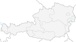


Töpperweg - from castle to castle
Andreas Töpper, probably the greatest private entrepreneur of the Danube Monarchy. Hammer master, industrialist, philanthropist and landowner. Those who make their way "from castle to castle" follow in...
Andreas Töpper, probably the greatest private entrepreneur of the Danube Monarchy. Hammer master, industrialist, philanthropist and landowner. Those who make their way "from castle to castle" follow in his footsteps. Töpper was both the builder of the manor house at Neubruck Castle and one of the many owners of Scheibbs Castle on Rathausplatz. Our Töpper Trail connects his two former estates.
Scheibbs Castle is the start and end point of the themed trail. We take a short time to visit the beautifully landscaped arcaded courtyard of the castle and the imposing "Cathedral of the Erlauf Valley", the parish church of Scheibbs. We then cross the square towards the town hall. From here, we descend the Rathausstiege, cross the main street and then the Erlauf over the so-called Sandsteg. We pause for a moment to take in the flair of the old town by the river. Full of energy, we now head out of town. Along the Erlauf promenade with its impressive chestnut avenue, we walk past the widow's residence of Töpper's second wife Amalie, the house at Erlaufpromande 30, and the adjacent Töpper Bridge, which the Hammerherr had built as a link to his property on the left bank of the Erlauf. We follow the Erlauf always upstream. Many comfortable benches along this popular walking trail in Scheibbs invite you to take a short break by the Erlauf. After continuing along the Strudenzeile towards Neustift, we find ourselves on the famous Dreimärktestraße, which the markets of Scheibbs, Purgstall and Gresten had built in the heyday of the iron and provisions trade as a link to Innerberg, today's Eisenerz. After a short while, the Buchebner "Zum Steinbruchwirt" inn beckons, where we enjoy a cool refreshment in the shady garden before continuing our route past the former tuff quarry, from whose material many of the chapels, walls and buildings we pass were built. We now follow this former trade route for a good stretch, which joins today's B25 at Neubruck. In order to continue our journey of discovery in the footsteps of Andreas Töpper, we have to cross both the B25 and the B28 coming from St. Anton/J., as the way back to Scheibbs leads along the mountain slopes to the right of the Erlauf. Before doing so, however, we plan to stop at the imposing Töpperschloss Neubruck, which was extensively renovated and revitalized for the 2015 provincial exhibition "ÖTSCHER:REICH - Die Alpen und wir". Well rested, we now set off on the way back along the course of the II Vienna High Spring Pipeline. The start of the signposted part of the theme trail is outside the castle and factory grounds at the confluence of the Erlauf and Jeßnitz rivers (at the EVN hut). We follow a well-maintained forest road up to the "Anslöd" hill where we can watch the landowner's huge, gentle highland cattle grazing. This short and easy climb will be the only one on our route. After a short break at this viewpoint, we continue our route via Hochbruck. First we cross a meadow, then the route turns into a narrow hiking trail in a mixed forest and leads past Schloss Lehenhof to the Burgerhofsiedlung above Scheibbs. This is where the last section of our loop begins, which leads back to Scheibbs Castle via Burgerhofstraße in the residential area. A detour to the Jelinekwarte on the Rudolfshöhe (524m) is rewarded with a view over Scheibbs and the foothills of the Alps towards the Danube.

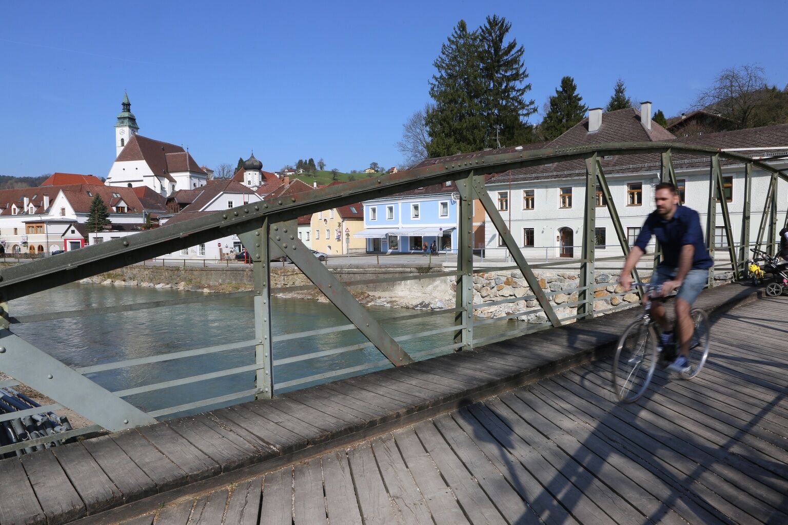
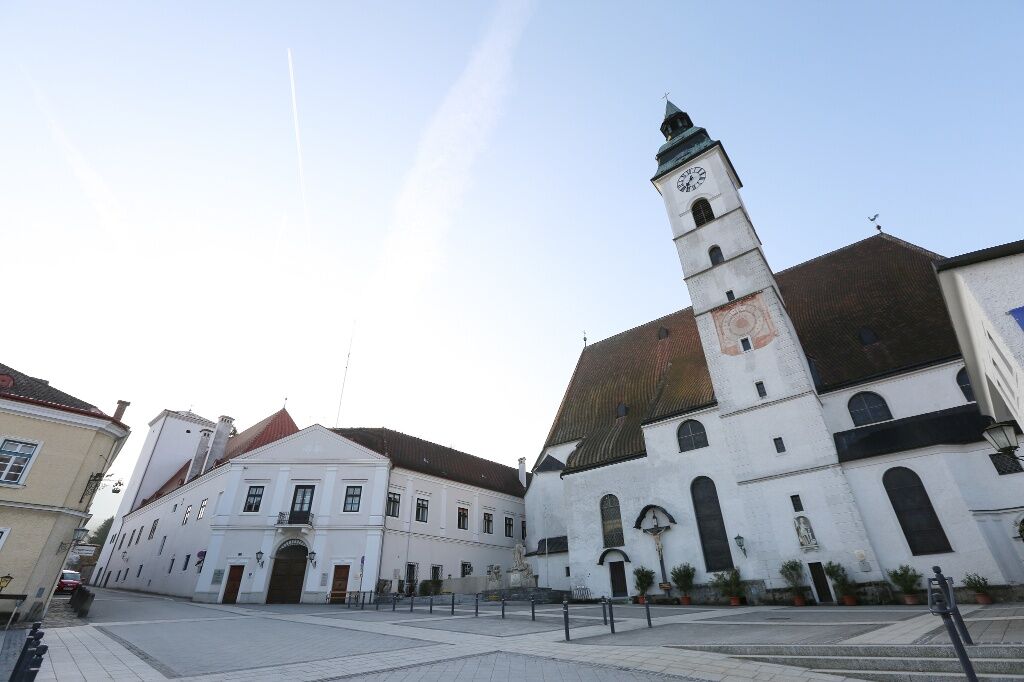
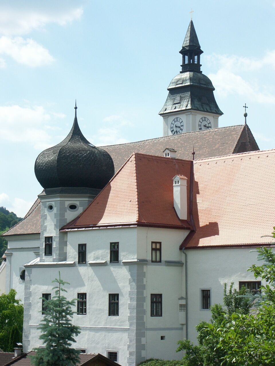

From the start and end point at Scheibbs Castle via Rathausstiege and Sandsteg to the left bank of the Erlauf. The route runs about 5 kilometers along the Ötscherland bike route upstream. Via Strudenzeile and Dreimärkterstraße, past the former tuff quarry in Neustift, with a dining option at the Buchebner inn "Zum Steinbruchwirt", we reach the B25/B28 intersection near Neubruck Castle after about an hour, where we cross both main roads and head back towards Scheibbs along the right bank of the Erlauf. A short detour to the castle is definitely worth it. Here begins the signposted part of the thematic route, which follows along the course of the 2nd Vienna High Spring Water Pipeline first over a well-developed forest road, then over the "Anslöd" hill, and finally above Lehenhof Castle into the Burgerhof Forest. Via Burgerhofstraße we finally reach the starting point at Scheibbs Castle again.
Yellow signposts, grey information boards
Sturdy footwear is recommended
Please observe the parking guidance system at the entrances to Scheibbs.
Short-term parking zone from Monday to Saturday noon in the city center – parking duration 2 hours.
Erlauftalbahn to the final station Scheibbs. Alternatively, daily from Scheibbs to Neubruck with the Mostviertel line (MO2 or MO20) or on weekdays with Postbus 1670 towards Gaming, Lunz, Lackenhof, and Göstling; or on weekdays with MO22 and on school days with Postbus 1668 towards St. Anton/Jeßnitz and Puchenstuben.
Please observe the parking guidance system at the entrances to Scheibbs.
Short-term parking zone from Monday to Saturday noon in the city center – parking duration 2 hours
Cultural Office of the Municipality of Scheibbs
Rathausplatz 1, 3270 Scheibbs
07482/42511-63
Plan a short detour to the Jelinekwarte in the Burgerhof Forest with its unique view of Scheibbs and the Alpine foothills.
Relax for a while in Scheibbs after your hike. The city pier and the meeting zone with lounging options on the Erlauf invite you to a restful hour. Or treat yourself to one of the many culinary delights from the traditional Reschinsky pastry shop.
Uzyskaj wgląd Zawsze na żywo z ponad 9 500 kamer internetowych. bergfex Jako użytkownik Pro, możesz teraz zobaczyć odpowiednie kamery internetowe dla wielu wycieczek w aplikacji wycieczki od. Pozwala to na bezpośredni podgląd aktualnych warunków. Popularne wycieczki w okolicy
- 4,9
Lackenhof ÖTSCHER Rauer Kamm 19.10.2014
ciężkiWędrówka 14,1 km - 4,7
Trefflingfall über Hochbärneckhütte
średniWędrówka 12,2 km - 4,5
Purgstall Route 3 entlang der Erlauf und Umgebung
światłoWędrówka 12,5 km - 4,5
Gföhler Alm - Rainstock - Schleierfall
średniWędrówka 13,6 km - 4,9
Erlaufschlucht
światłoCanyoning 4,58 km - 3,7
Auf den Blassenstein
światłoWędrówka 8,30 km - 4,2
Grüntalkogelhütte
światłoWędrówka 5,11 km - 4,4
Kappleralm Runde
światłoWędrówka 6,65 km - 4,6
Hochbärneckrunde
średniWędrówka 10,1 km - 3,7
GeBIERgsweg Gaming
światłoWędrówka 6,51 km
Wędrówki i tropienie


Nie przegap ofert i inspiracji na następne wakacje
Twój adres e-mail została dodana do listy mailingowej.





