



Biodiversitätspfad Sitzenberg-Reidling

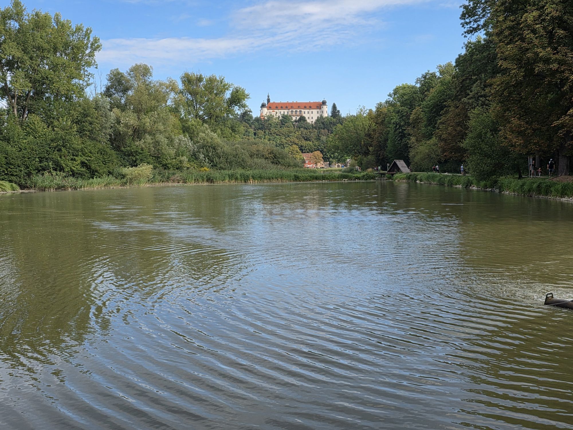
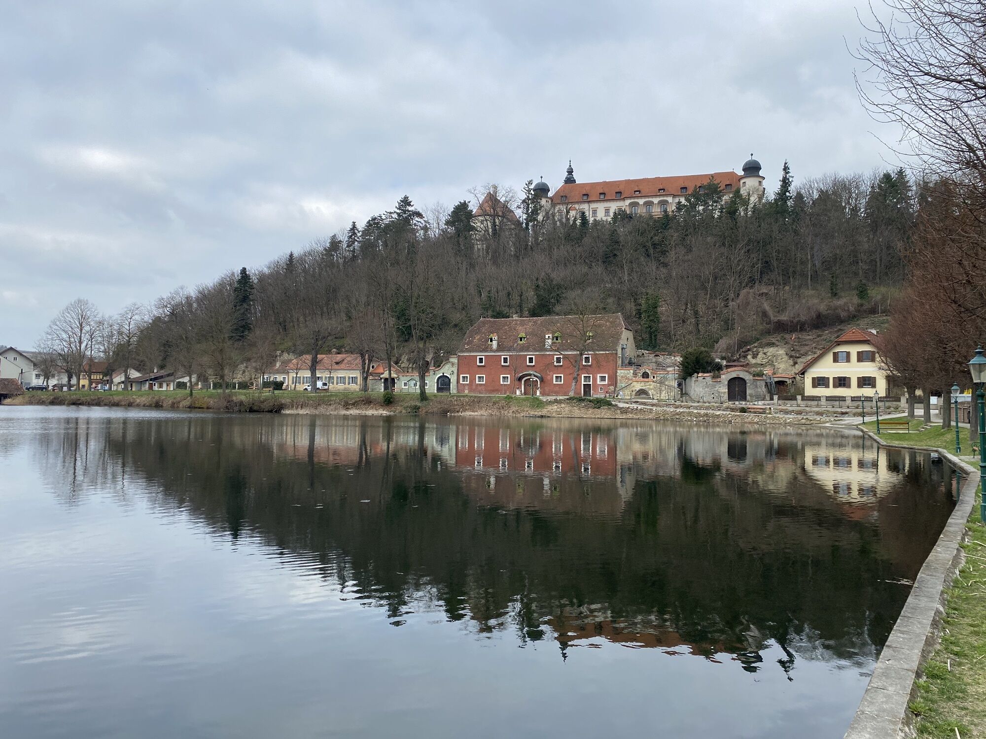
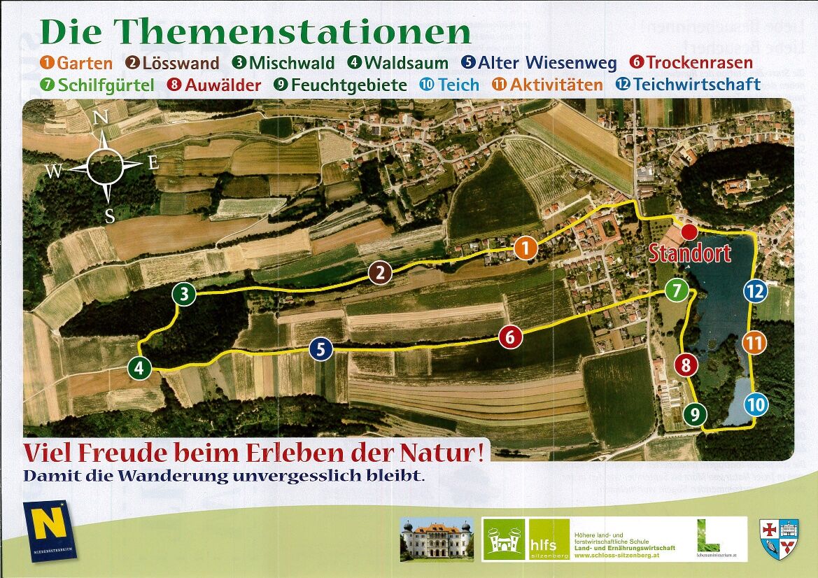
The start/finish station of the circular hiking trail is located next to the parking lot behind the Sitzenberg fire station between the tennis court and the castle pond. Including the start-finish station,...
The start/finish station of the circular hiking trail is located next to the parking lot behind the Sitzenberg fire station between the tennis court and the castle pond. Including the start-finish station, there are 13 stations along the entire three-kilometer trail.
The circular trail first leads from the parking lot to Schlossbergstraße, where you turn left to Karl Fischer Straße. Then turn right and shortly afterwards left again into Wimmergraben. You pass the first three stations along the Wimmergraben.
At the third station, walk up the forest path to the left to Kreitweg. Once you reach the Kreitweg, keep left and you will see the fourth station.
After two more stations, walk along the Kreitweg to the junction with Karl Fischer Straße and straight ahead along the Wiesenweg. Now a short stretch leads us back to the pond.
At the children's playground by the pond, the path leads counter-clockwise around the Sitzenberg castle pond, where the next six stations are located. After completing the circuit, you return to the start/finish station.
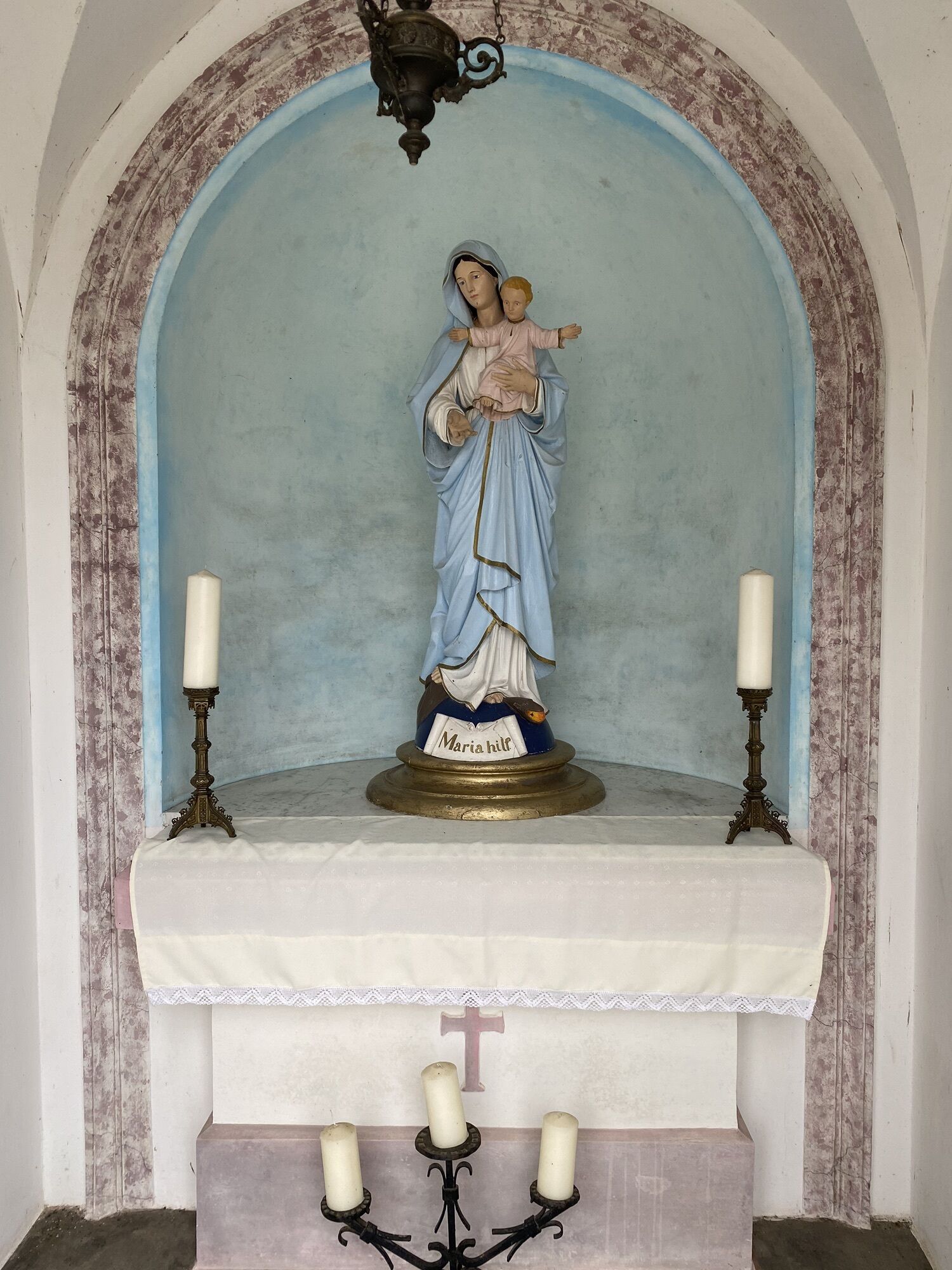
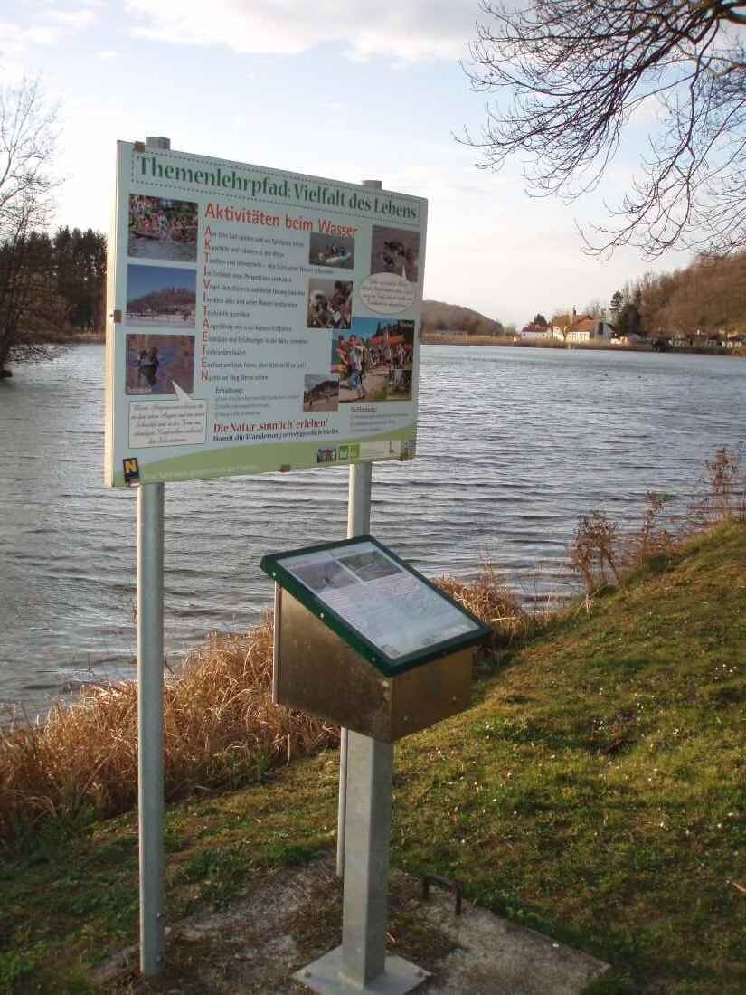
The various habitats with their characteristic animals and plants are presented on display boards at the individual stations. Possible threats and measures to preserve them are also pointed out.
There is also a bird call desk at each station with two buttons that trigger the birdsong. The "voices" automatically switch off again after a while.
The bird calls produced by these sound carriers can be heard in the wild from March to September by the birds in the area.


Hiking Clothing
Train, Bus, Car
Parking available
Person responsible for the content of this tour
Mostviertel
Last update: 10.01.2024
Popularne wycieczki w okolicy
-
4,4
Wachauer Marillenerlebnisweg, Krems-Angern
światłoWędrówka 6,04 km -
4,2
Über den Göttweiger Walderlebnisweg zu den Mammutbäumen
światłoWędrówka 3,77 km -
4,3
Mammutbäume, Waxenberg und Göttweig
średniWędrówka 12,1 km -
4,8
Übers "Loamstückl" zur Wetterkreuzkirche
światłoWędrówka 6,83 km -
4,4
Umrundung Seebodenberg
światłoWędrówka 4,48 km -
4,4
Über Sitzenberg-Reidling: Seelacke-Korkenzieher-Weinberge
średniWędrówka 11,1 km -
4,9
Traisental MTB Potpourri
średniMountainbike 27,9 km -
4,5
Wein - Schloss - Marille - Stiftblick
światłoWędrówka 5,26 km -
4,5
Wagramer Genussmix
światłoWędrówka 10,1 km -
4,0
Rundwanderung über den Paudorfer Skulpturenweg
światłoWędrówka 5,47 km
Wędrówki i tropienie


Nie przegap ofert i inspiracji na następne wakacje
Twój adres e-mail została dodana do listy mailingowej.


