







In the footsteps of Clusius - walk to the panorama telescope
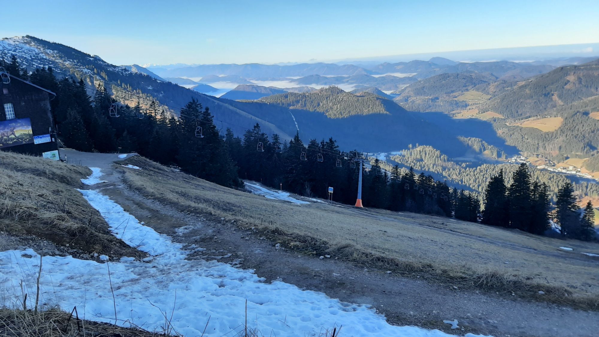
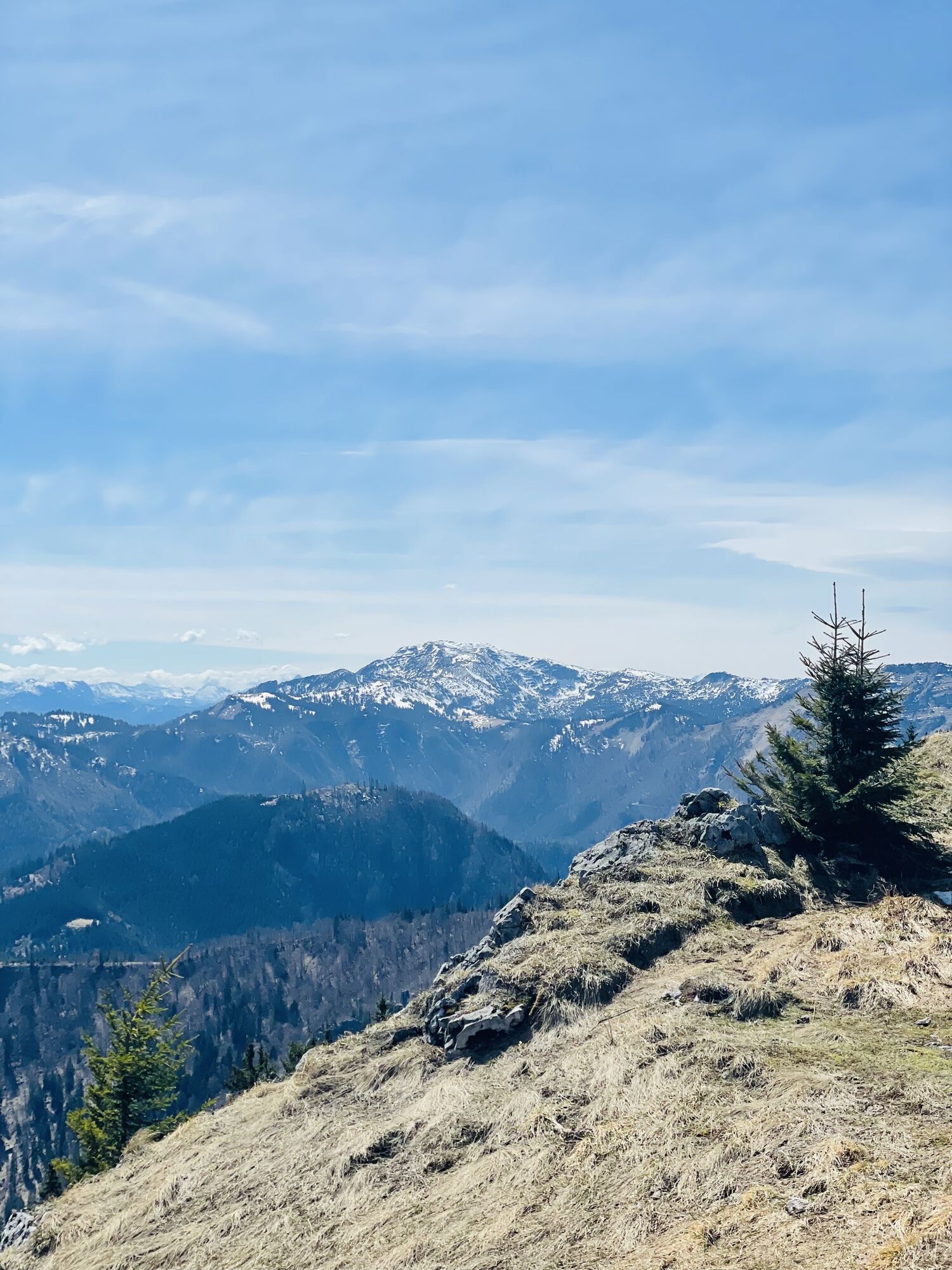
A walk to the panoramic telescope opens up a magnificent view of the surrounding mountains and the unique flora can also be seen here in all its glory. The discoverer of Alpine flora, Charles de l'Ecluse,...
A walk to the panoramic telescope opens up a magnificent view of the surrounding mountains and the unique flora can also be seen here in all its glory. The discoverer of Alpine flora, Charles de l'Ecluse, known as Clusius, found the Clusius gentian, the Clusius primrose and the Clusius blackberry on the Ötscher around 430 years ago.

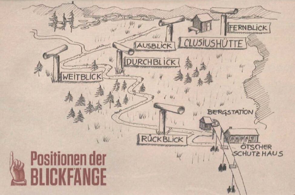
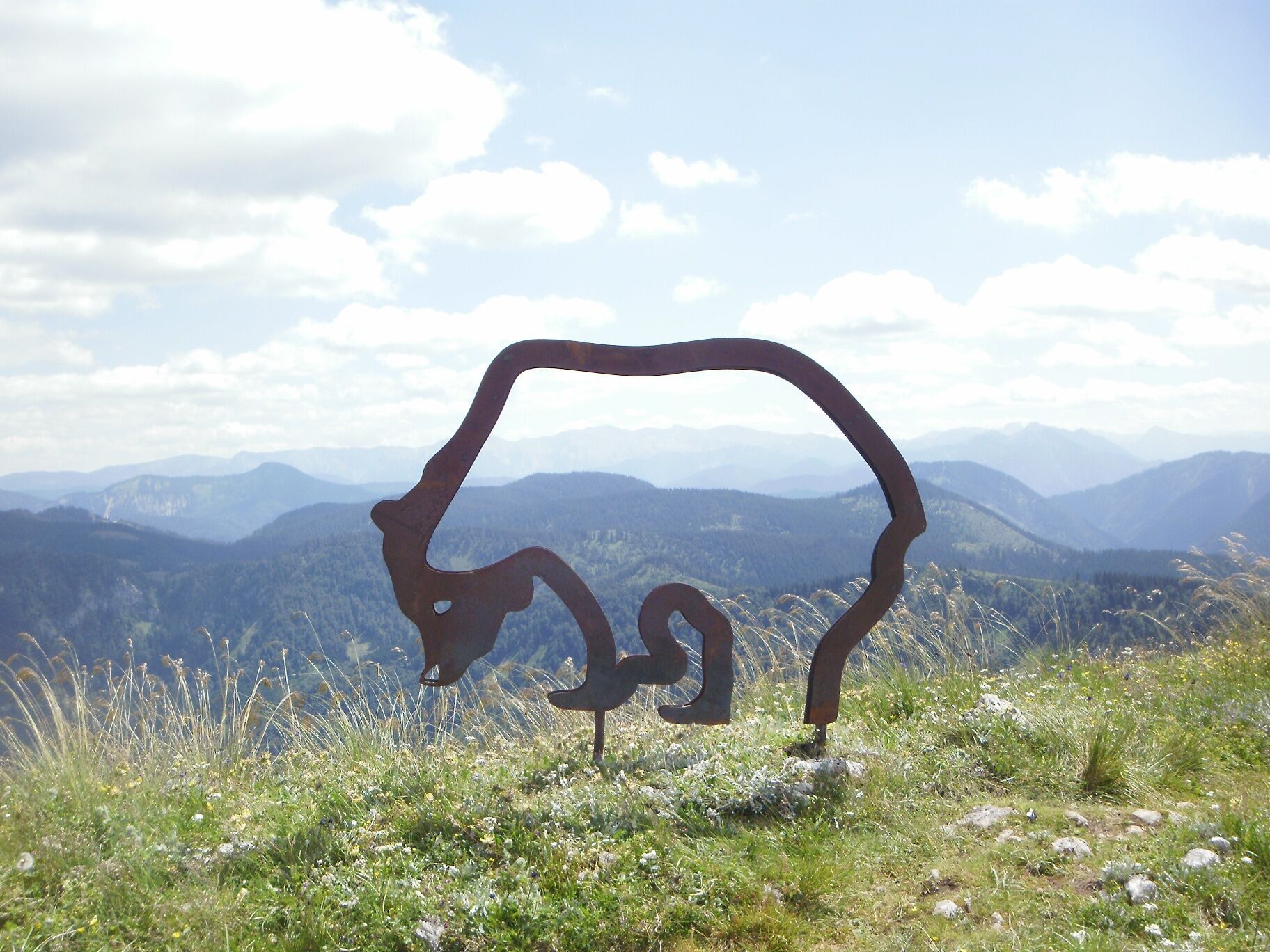
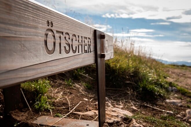

Arriving at the mountain station Gr. Ötscher by the double chairlift, you are already at an altitude of 1436 m. From here, a pleasant, gently ascending path with switchbacks leads to a wonderful viewpoint with a panorama telescope at 1520 m altitude, reachable in about 20 minutes on foot. For the botanists among the hikers, a variety of alpine plants awaits you here. As a botanist of Emperor Maximilian II, Clusius also explored the Ötscher area and the region of Lunz. We owe the first ascent of the Ötscher in 1574 to his scientific zeal. In recognition of his scientific achievements, many alpine plants are named after him, e.g., Primula clusiana.
After an extensive panoramic view, you return to the mountain hut and mountain station.
sturdy footwear
Exit from the A1 at Ybbs - Erlauftal federal road B25 to Grubberg - turn onto B71 at the junction to Langau/Maierhöfen - turn left to Lackenhof - in Lackenhof turn left, straight ahead, at the signpost turn right towards the valley station of the double chairlift Gr. Ötscher via the new Weitental road
Parking lot at the valley station of the double chairlift Gr. Ötscher in the Weitental
Ybbstaler Alps - Tourist office
T +43 5/93049
info@ybbstaler-alpen.at
www.ybbstaler-alpen.at
Also take a round in the 3D bow course directly at the lift and discover this exciting sport.
Kamery internetowe z trasy
Uzyskaj wgląd
Zawsze na żywo z ponad 9 500 kamer internetowych. bergfex Jako użytkownik Pro, możesz teraz zobaczyć odpowiednie kamery internetowe dla wielu wycieczek w aplikacji wycieczki od. Pozwala to na bezpośredni podgląd aktualnych warunków.
Popularne wycieczki w okolicy
-
4,4
Das 3 Seen-Erlebnis (Lunzer See - Mittersee - Obersee)
średniWędrówka 9,33 km -
4,3
Rund um den smaragdgrünen Lunzer See
światłoWędrówka 4,80 km -
4,7
Gemeindealpe
średniWędrówka 13,5 km -
5,0
Von Lackenhof auf den Ötscher
światłoWędrówka 5,29 km -
4,9
Panoramic summit Maiszinken - alpine experience included
średniWędrówka 12,6 km -
4,9
Lassingfall - Ötscherhias - Erlaufklause
średniWędrówka 8,20 km -
4,9
Lackenhof ÖTSCHER Rauer Kamm 19.10.2014
ciężkiWędrówka 14,1 km -
4,8
Naturpark Ötscher-Tormäuer Wienerbruck
światłoWędrówka 6,06 km -
4,7
Trefflingfall über Hochbärneckhütte
średniWędrówka 12,2 km -
4,7
Erlaufsee-Rundweg
światłoWędrówka 5,37 km

Wędrówki i tropienie


Nie przegap ofert i inspiracji na następne wakacje
Twój adres e-mail została dodana do listy mailingowej.





