







Jauerling Summit Route
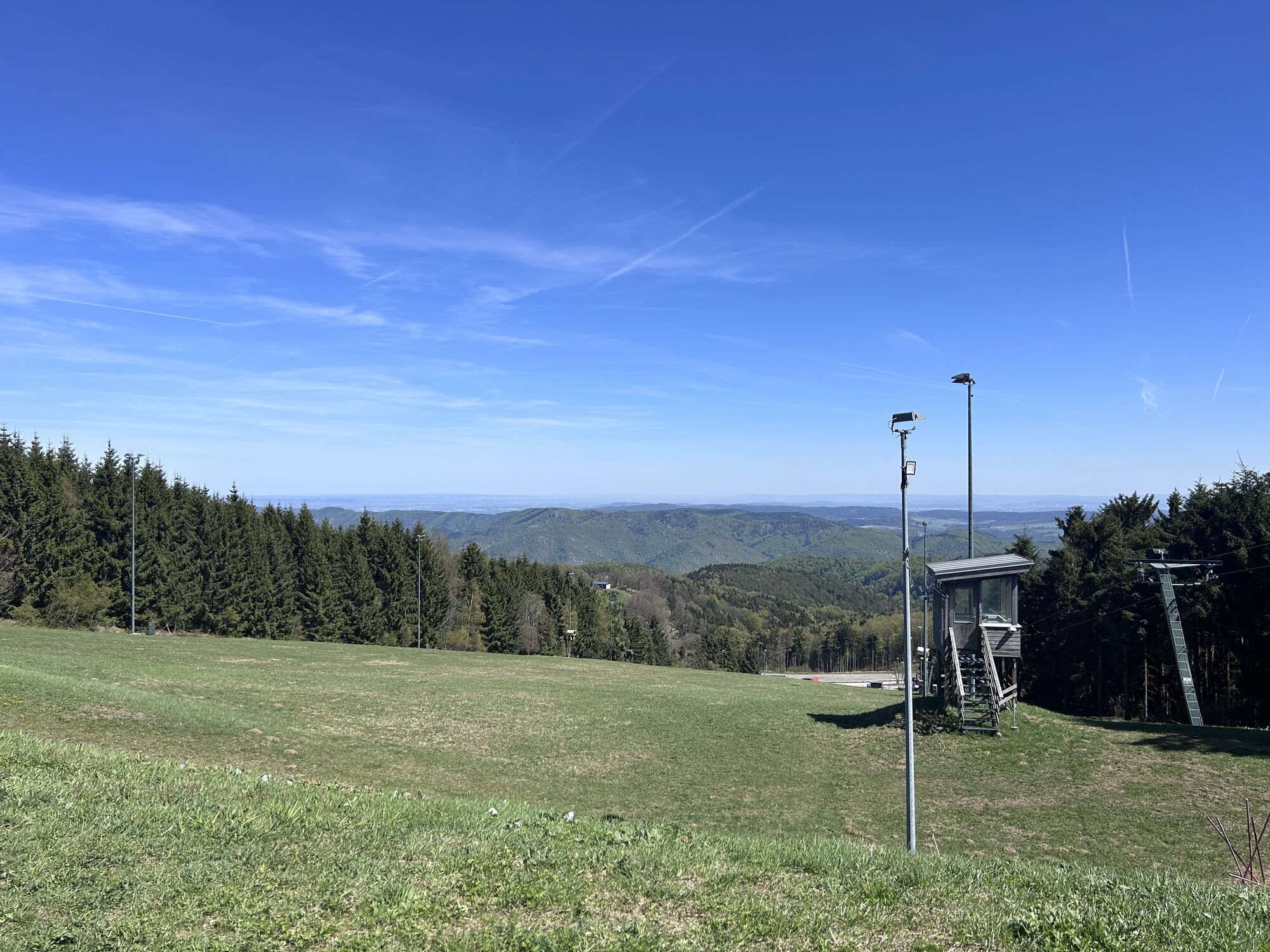
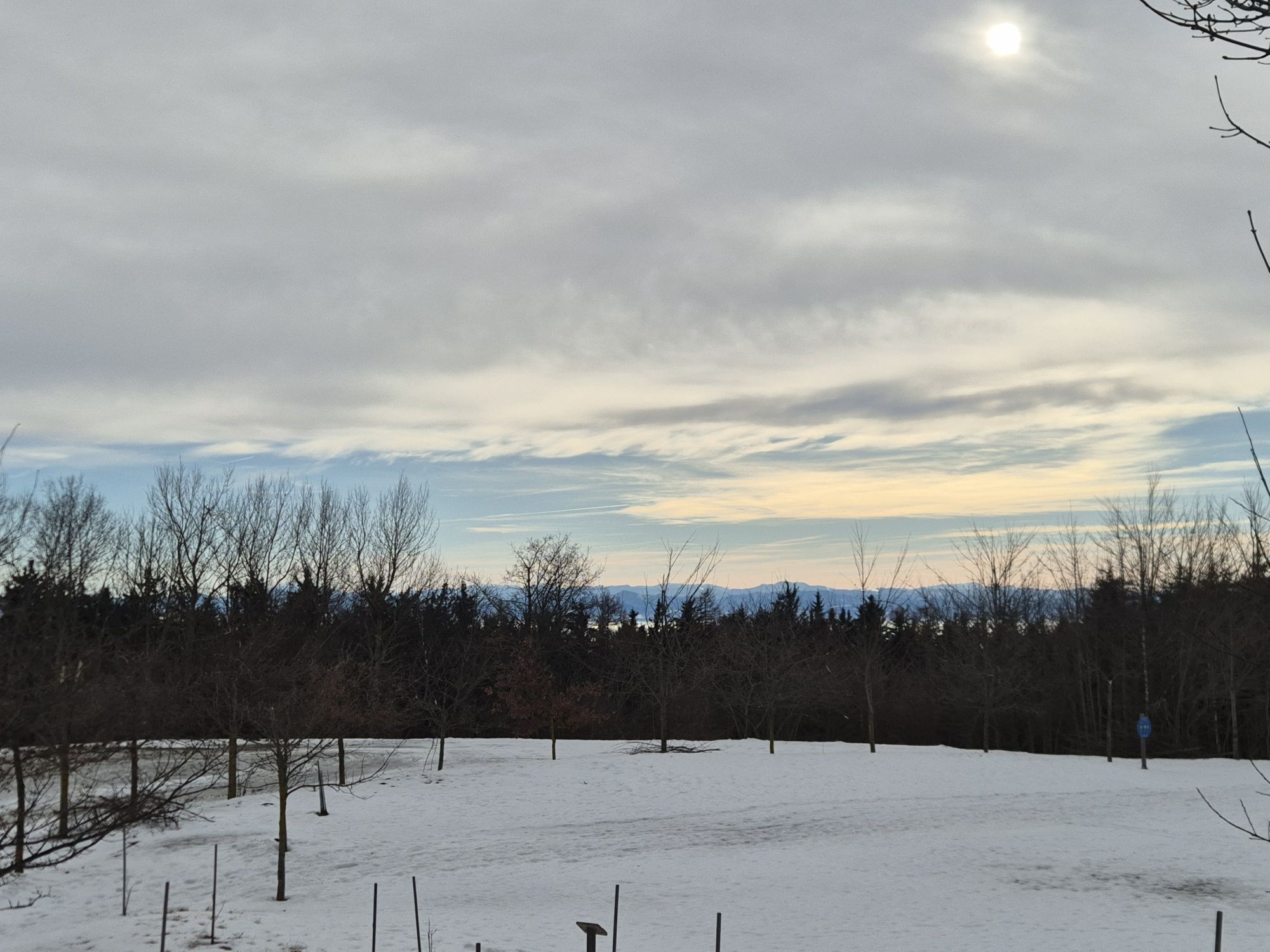
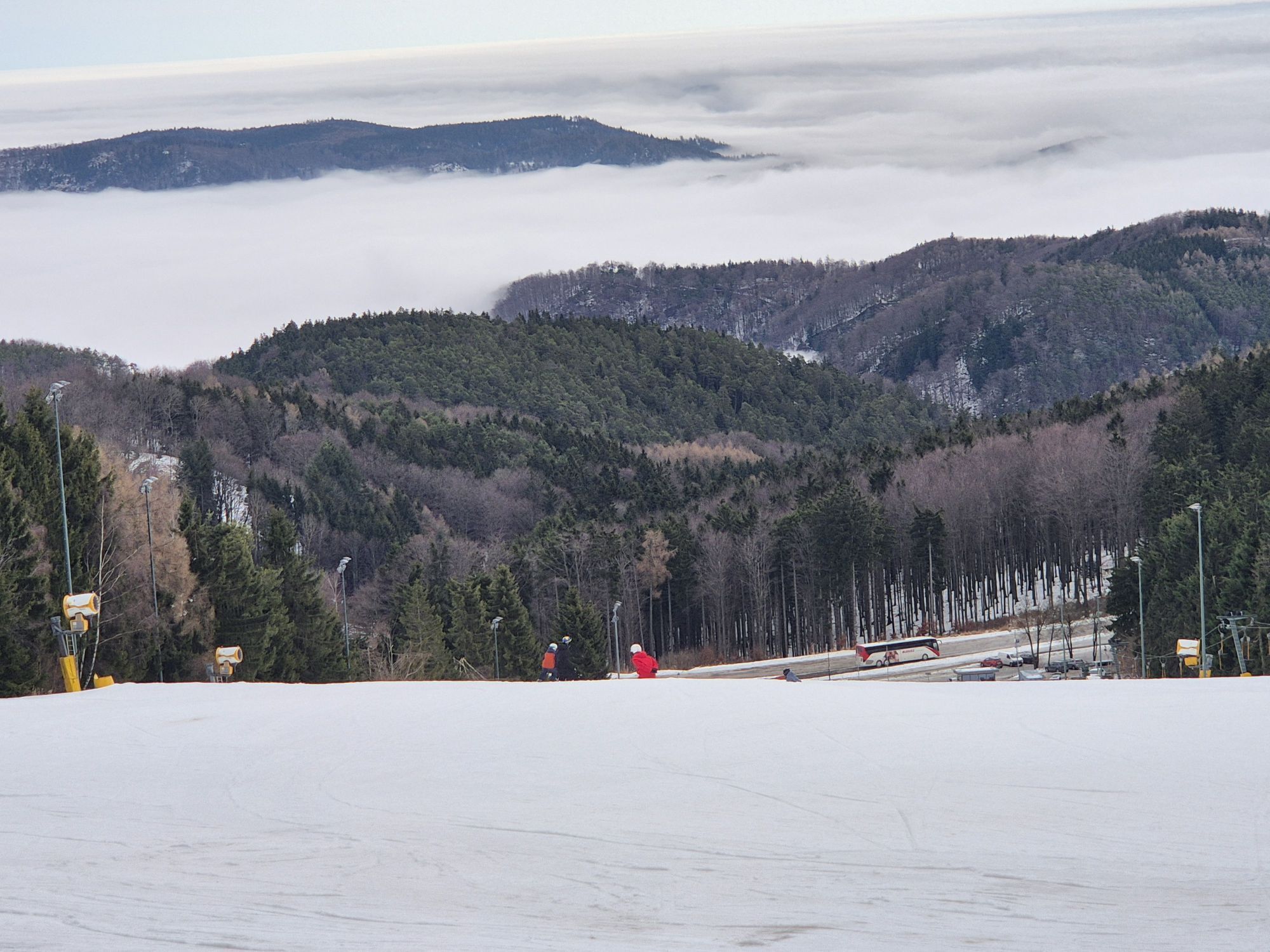
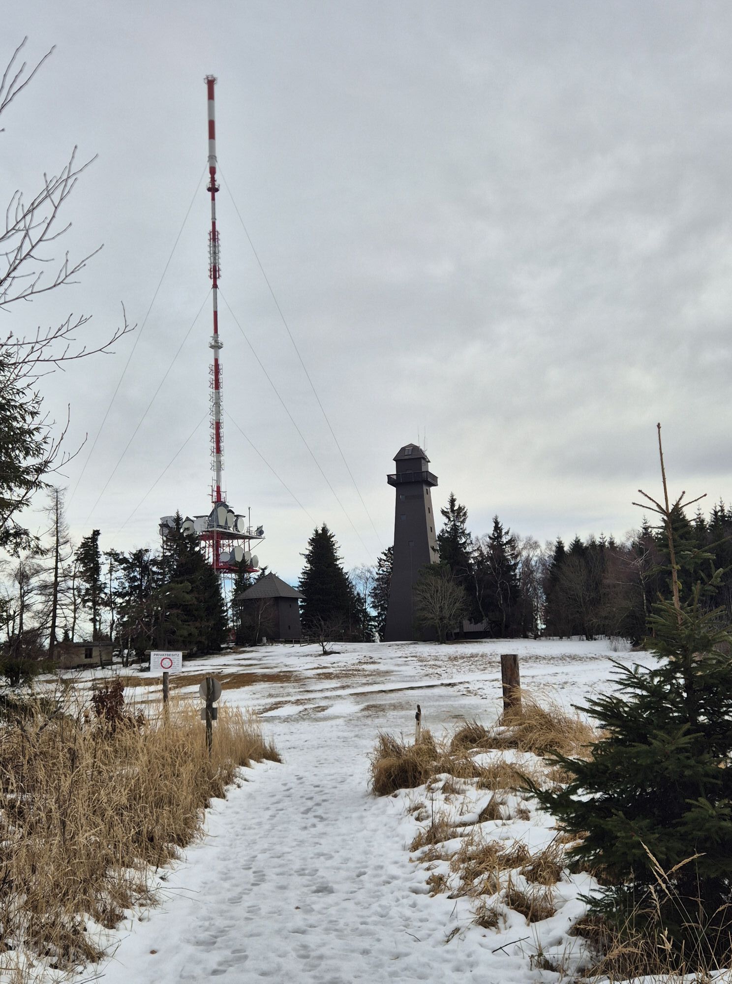
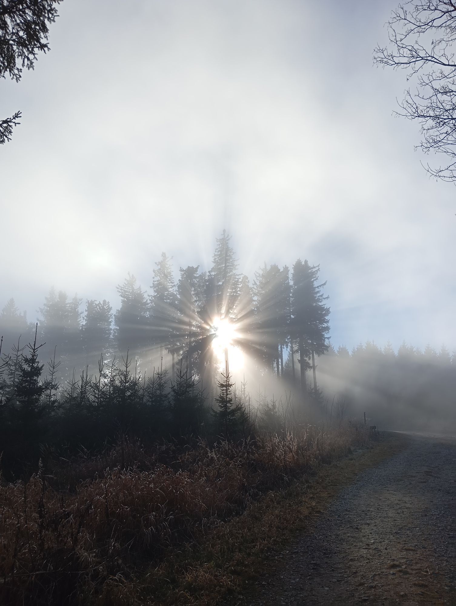
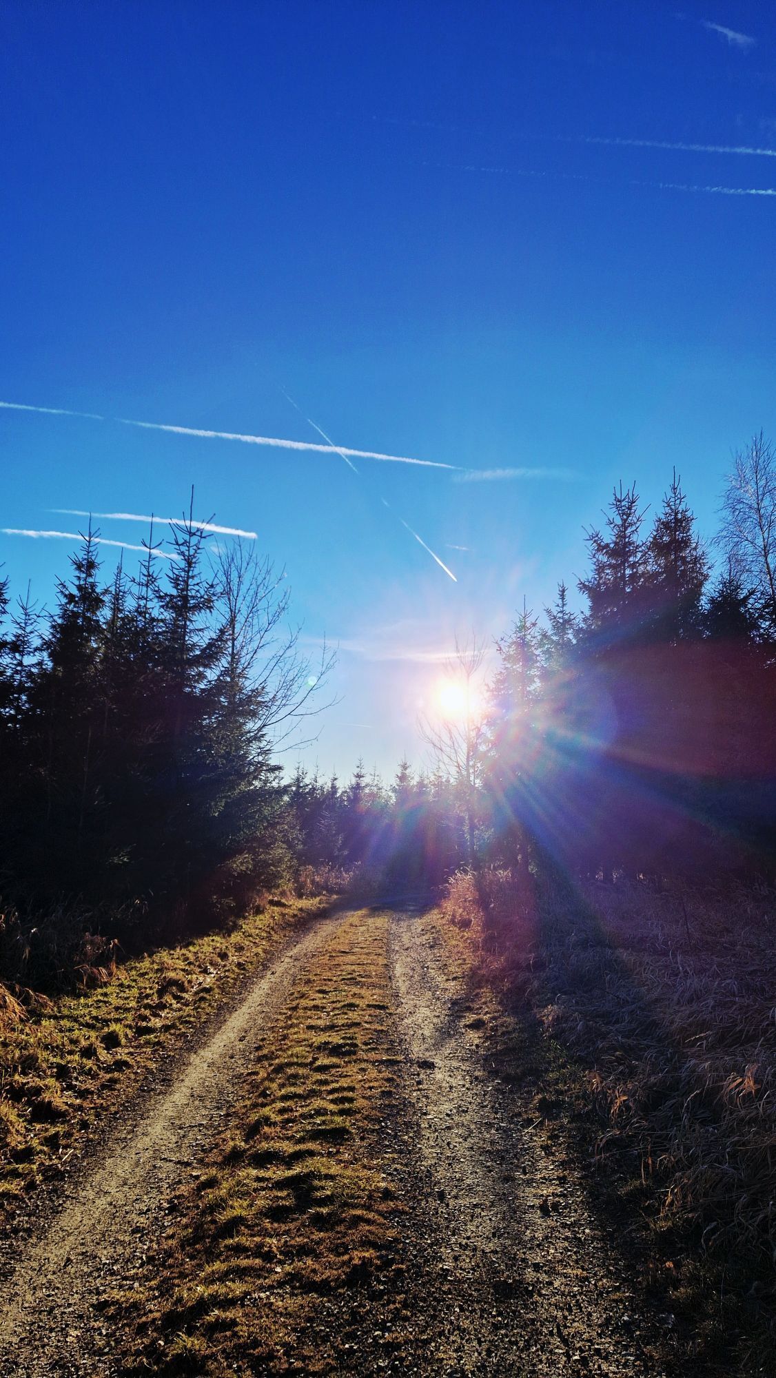
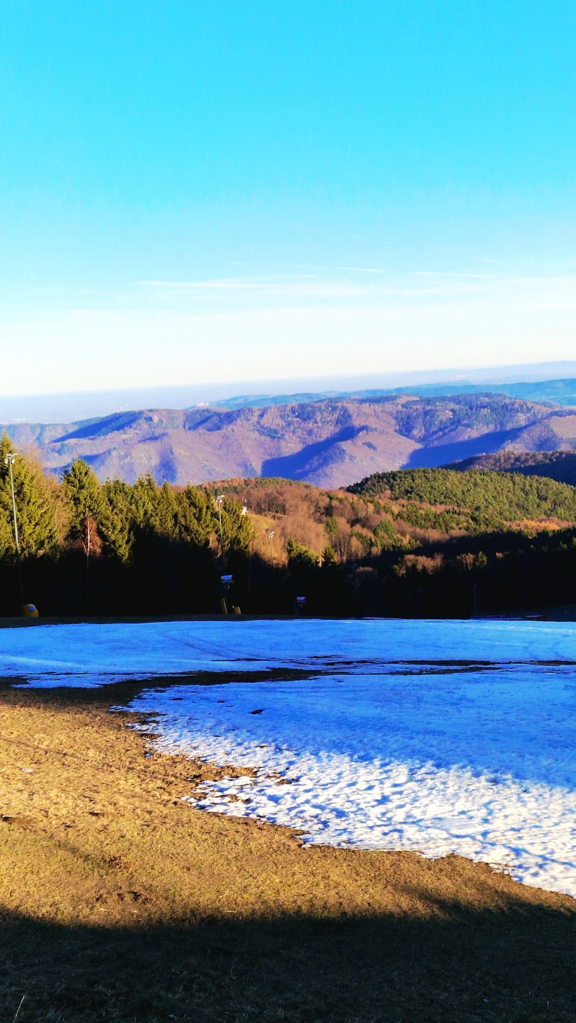



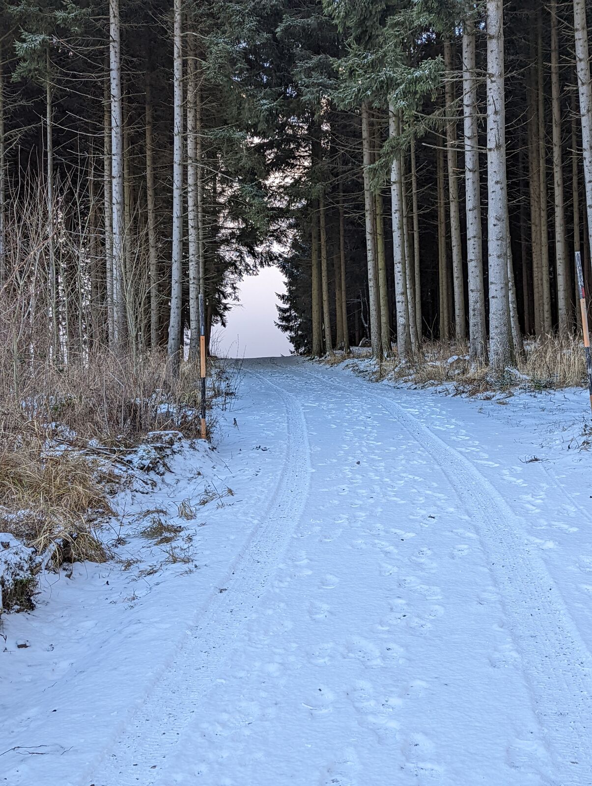
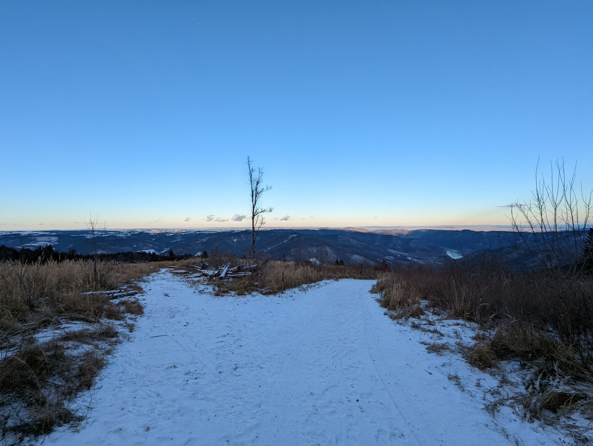
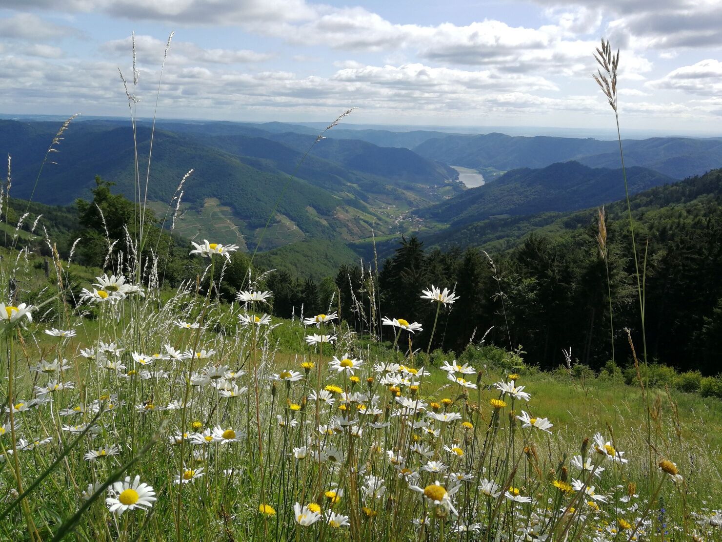
With your smartphone, you can find new paths at the Jauerling summit and learn about special features of nature and nature conservation, agriculture, and the history of the highest mountain on the Danube....
<p>With your smartphone, you can find new paths at the Jauerling summit and learn about special features of nature and nature conservation, agriculture, and the history of the highest mountain on the Danube. Hike together with Anna and Peter around the Jauerling summit area between the mountain station, the viewpoint, and the Nature Park House. The two friends come from Jauerling. Today, Anna and Peter meet again after a long time and enjoy the walk together on the highest mountain of the Danube. The path includes ten different stations, with the starting point being the mountain panel at the Nature Workshop. The app and the audio play include photos, old views, postcards, songs, or recipes for apricot jam. The user and listener get an emotional and at the same time seriously processed overview of the Nature Park, its region, and generally of the Wachau.</p><p>The app is only downloadable on-site at Jauerling, at the mountain station and the Nature Park House. During the walk, no internet connection is necessary. Using GPS, the smartphone detects at which station you are. An analog puzzle game with ten questions, including a flyer, complements the app and the themed trail. At the end, there is a gift for the participants. Headphones recommended!</p><p>***New***</p><p>As an alternative to the app, we also offer an audio guide. Immerse yourself deeper into the history of Jauerling and learn about the special features of the region. Simply follow the link below.</p><p>Audioguide-Jauerlinger Gipfelrunde</p>

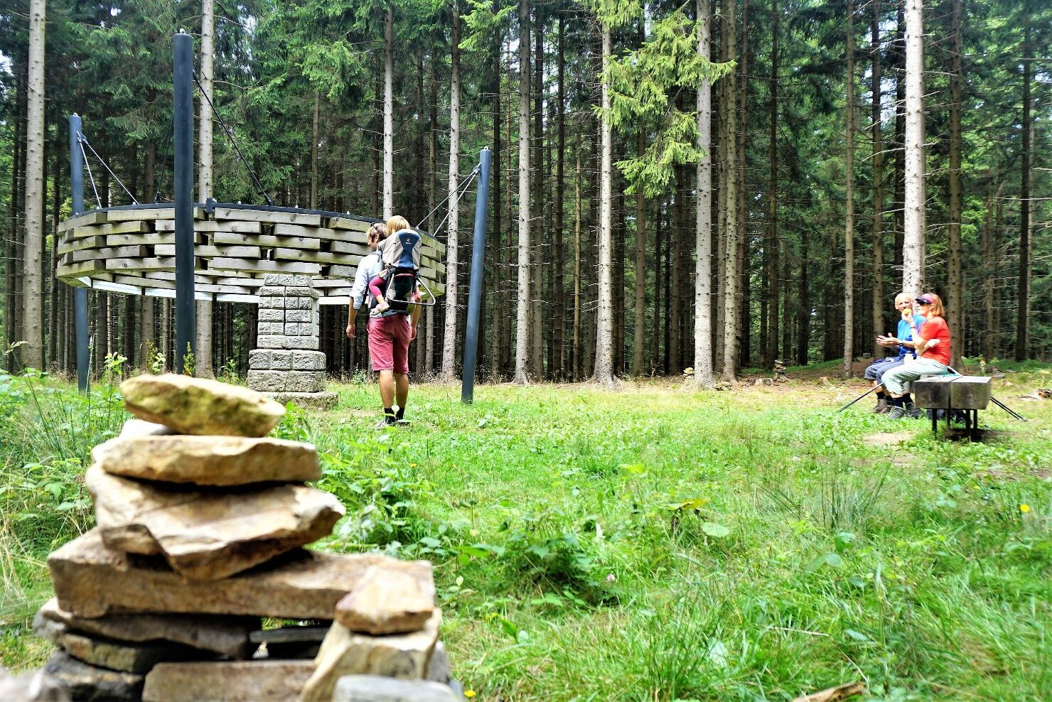
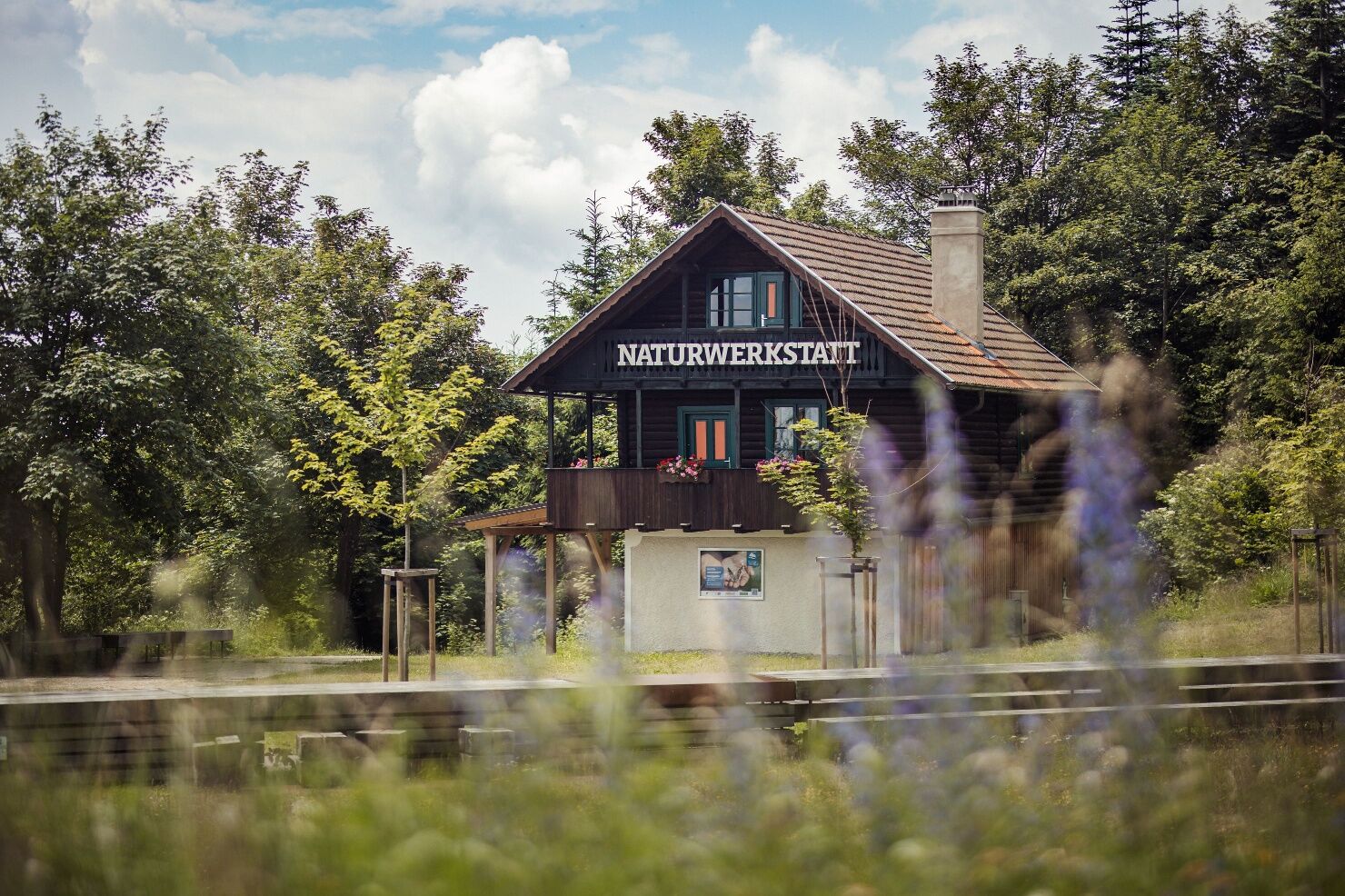
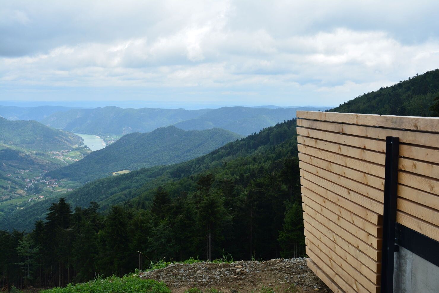
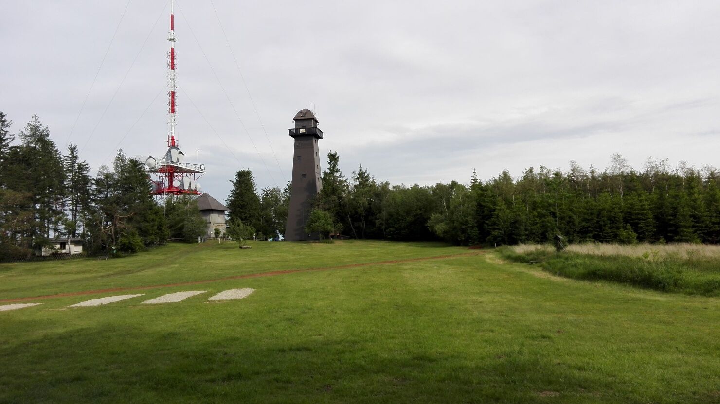

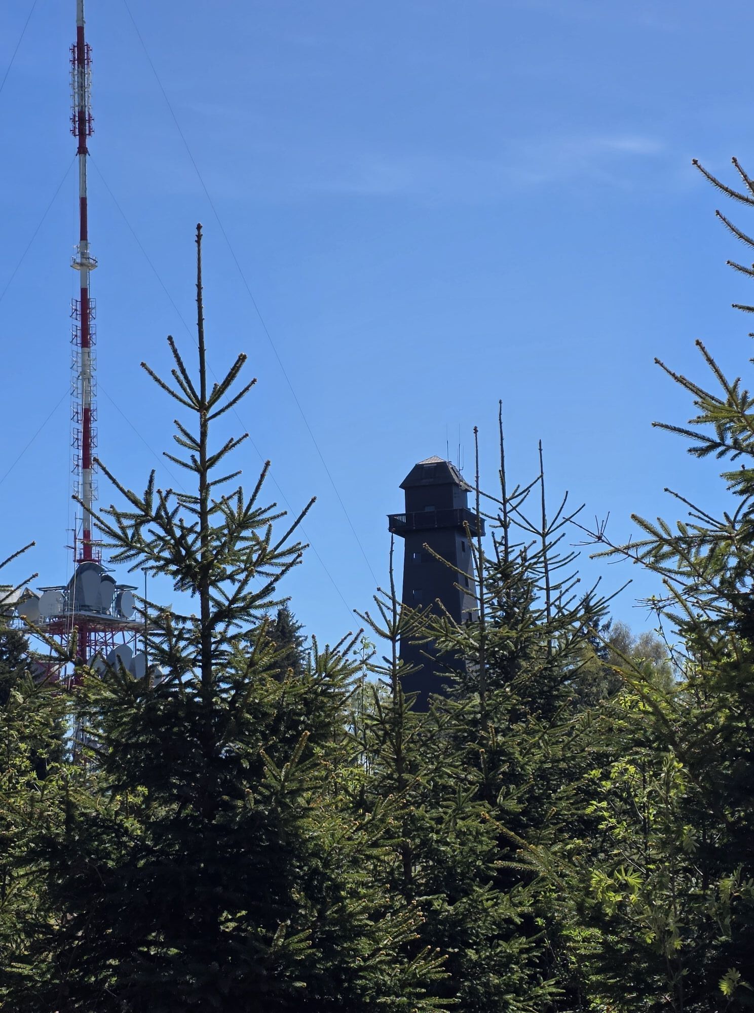
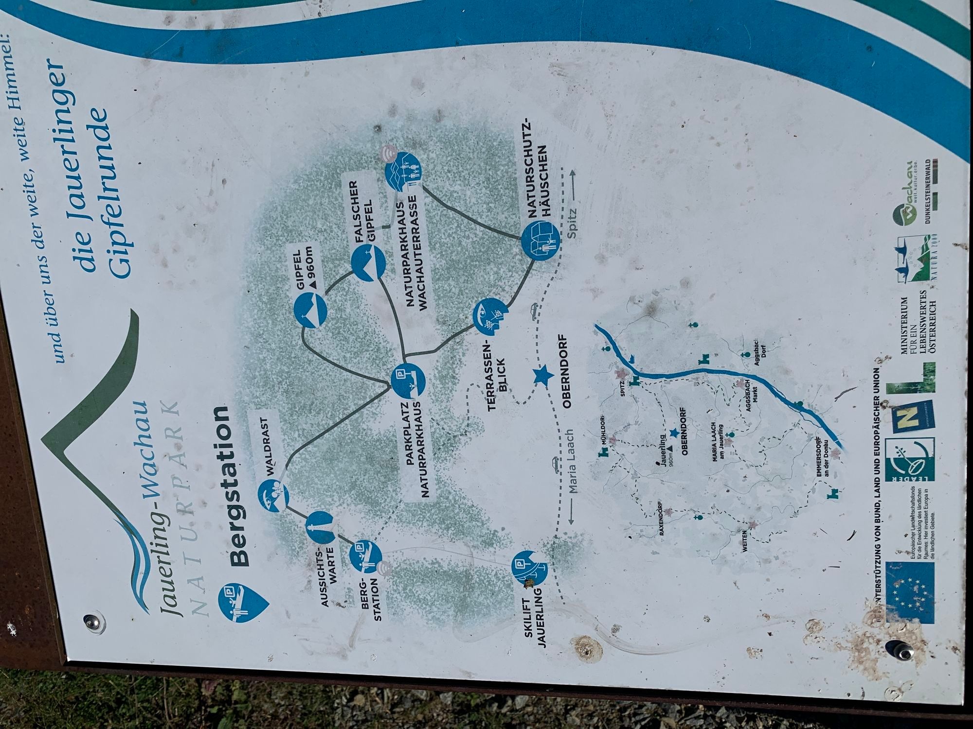
<p>The path includes 10 different stations, with the starting point being the mountain panel at the Jauerling mountain station.</p>
<p>Headphones are recommended for the app. Otherwise, hiking shoes, rainproof clothing, and drinking water. The Wachau hiking map is available from Danube Lower Austria Tourism, wachau.at. You can also pick up the map at the Nature Park office c/o Maria Laach municipal office (Contact: Nature Park Jauerling-Wachau, info@naturpark-jauerling.at).</p>
<p>Emergency call Mountain Rescue Wachau: 140</p>
<p>By car from the West Autobahn in Melk, take B3a towards Emmersdorf, then the third exit in the roundabout (direction Dürnstein, Krems) on B3 to Schallemmersdorf, turn left to Maria Laach on L7145, from Maria Laach to Oberndorf on L7133, then toward the viewpoint until the mountain station. The destination is Oberndorf am Jauerling (mountain hut).</p>
<p>Oberndorf is reachable by bus on weekdays using public transportation. Line 797 runs on school days from Melk station to Oberndorf. Note that a same-day return by bus is not possible. Details on bus schedules can be found at <a href="www.vor.at/">www.vor.at</a... Saturdays, Sundays, and public holidays from May to October, the Jauerling shared taxi is offered as an alternative to private travel. With the Jauerling shared taxi, you can conveniently reach the summit area from Melk or Spitz. Departure is at 10:00 am, return at 4:30 pm.</p><p><a href="www.naturpark-jauerling.at/jauerling-... Sammeltaxi</a></p><p>Rental bike (Nextbike) stations (EUR 1/hour) are located in Melk, Emmersdorf, Spitz, Aggsbach, and Mühldorf.</p><p><a href="www.nextbike.at/niederoesterreich.htm...
<p>Free parking is available at the Nature Park House and at the mountain station.</p>
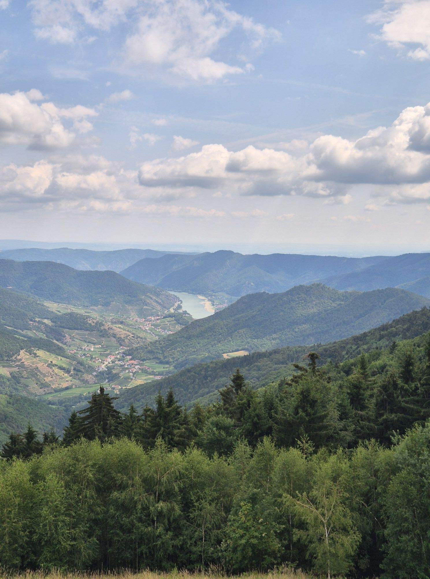
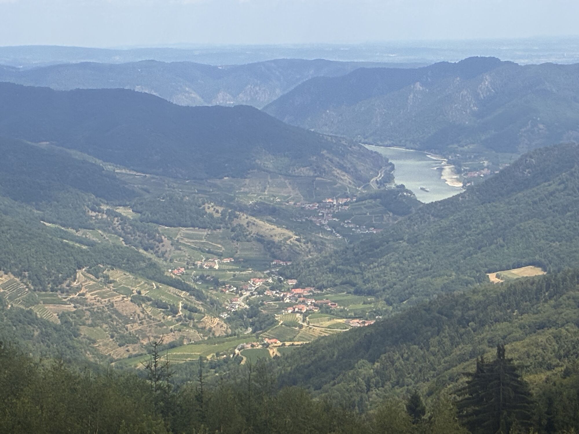
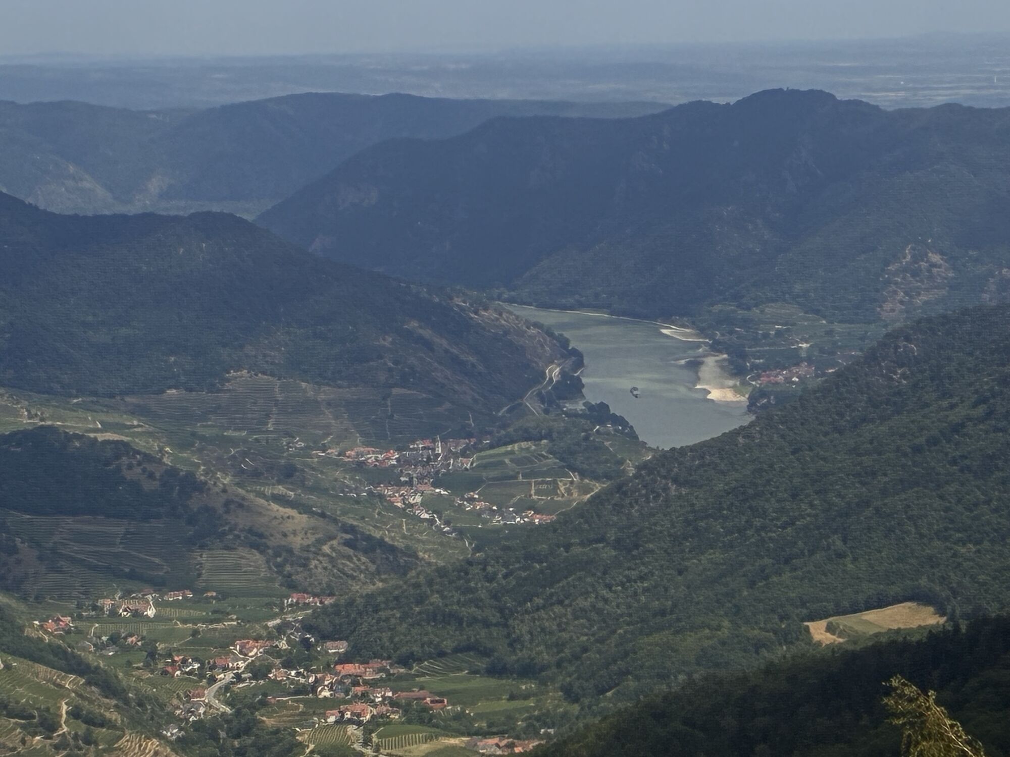
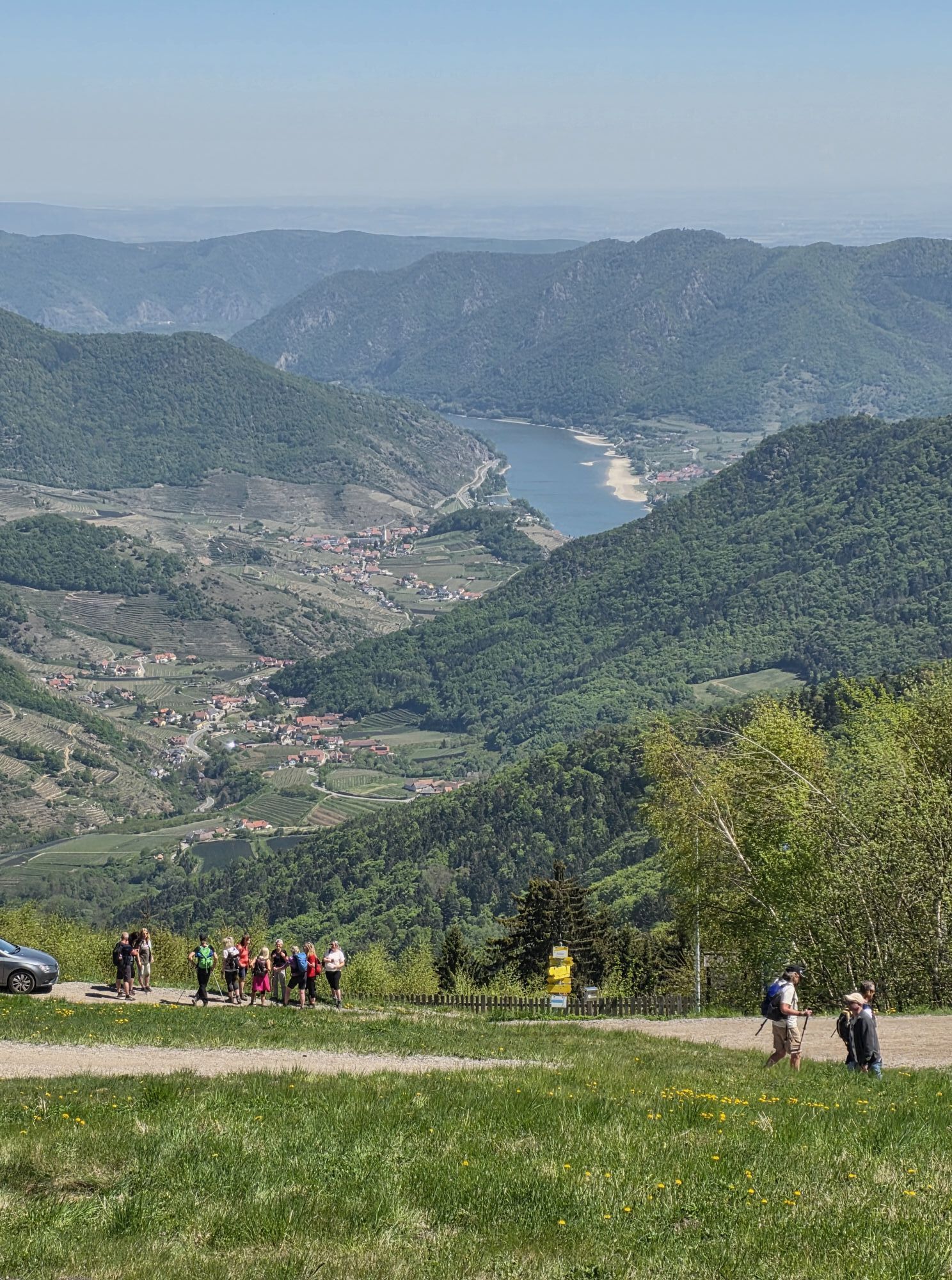
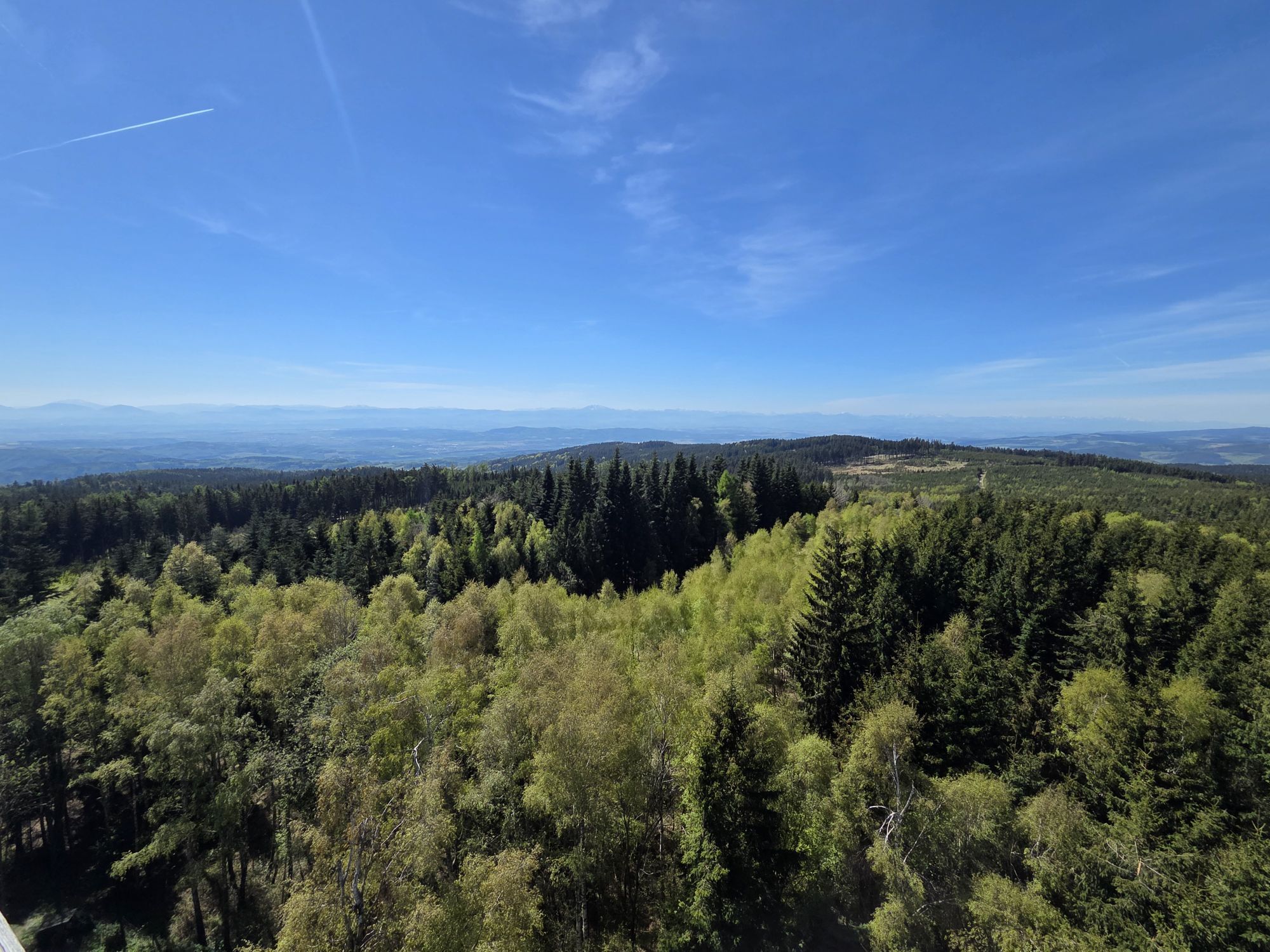
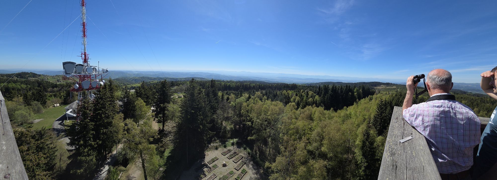
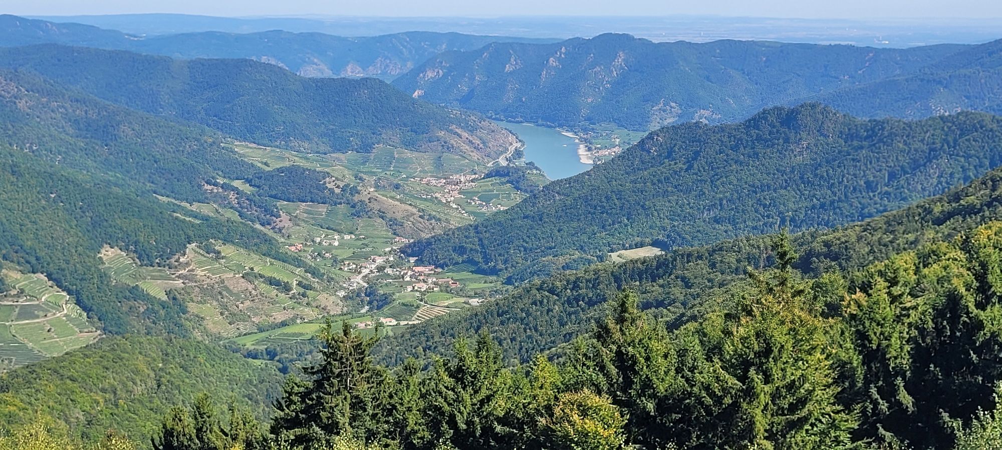
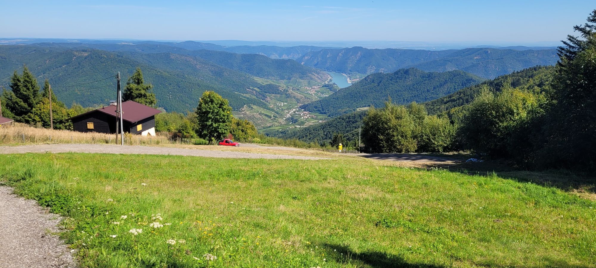
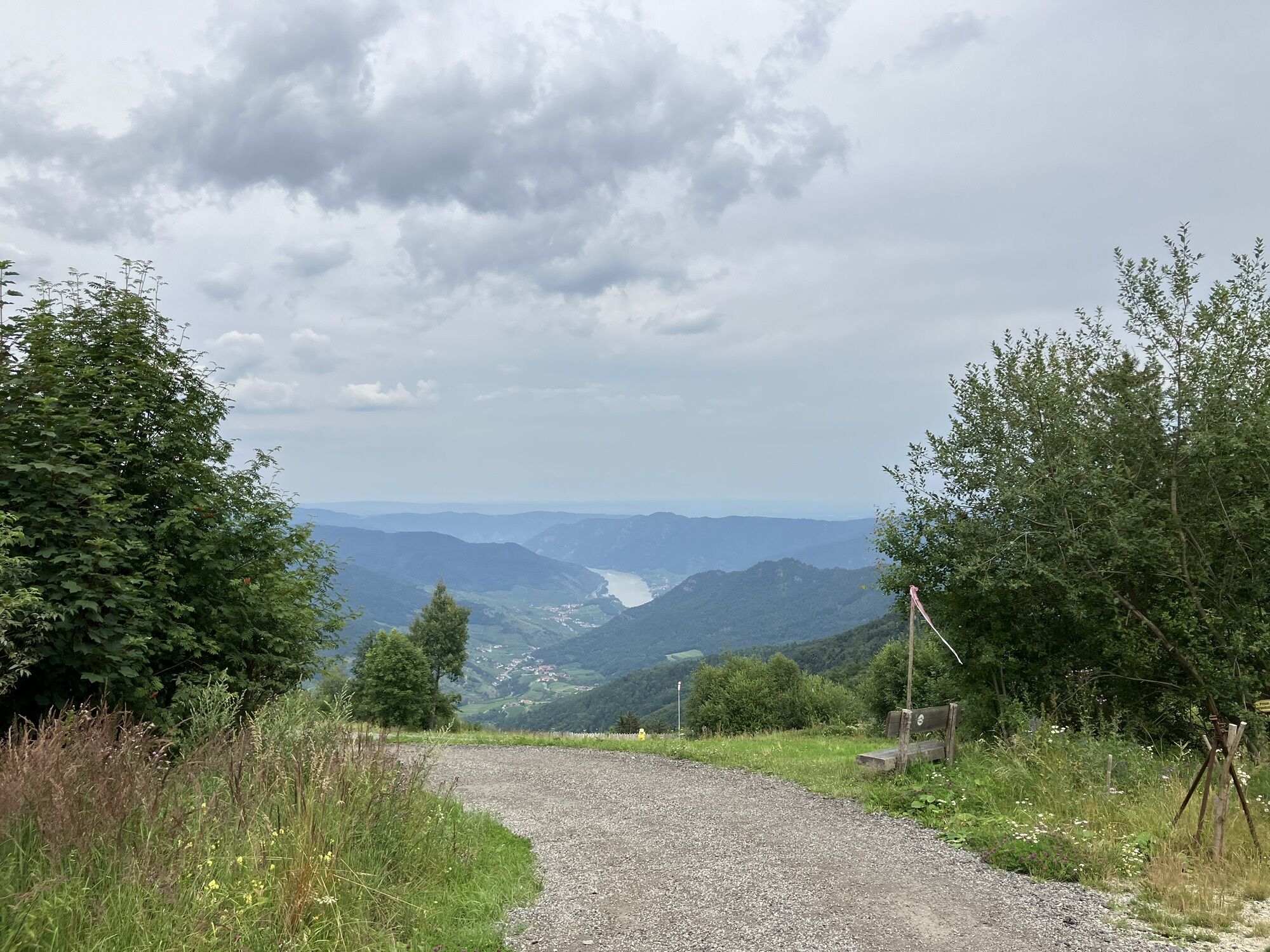
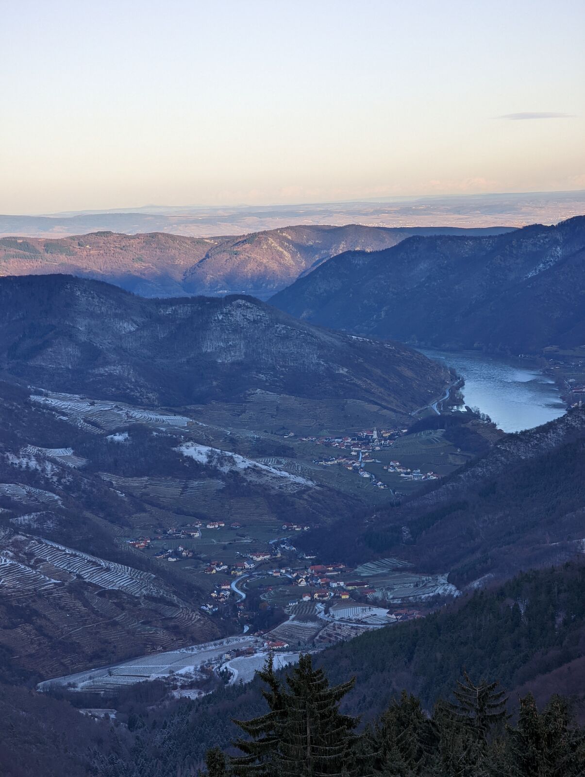
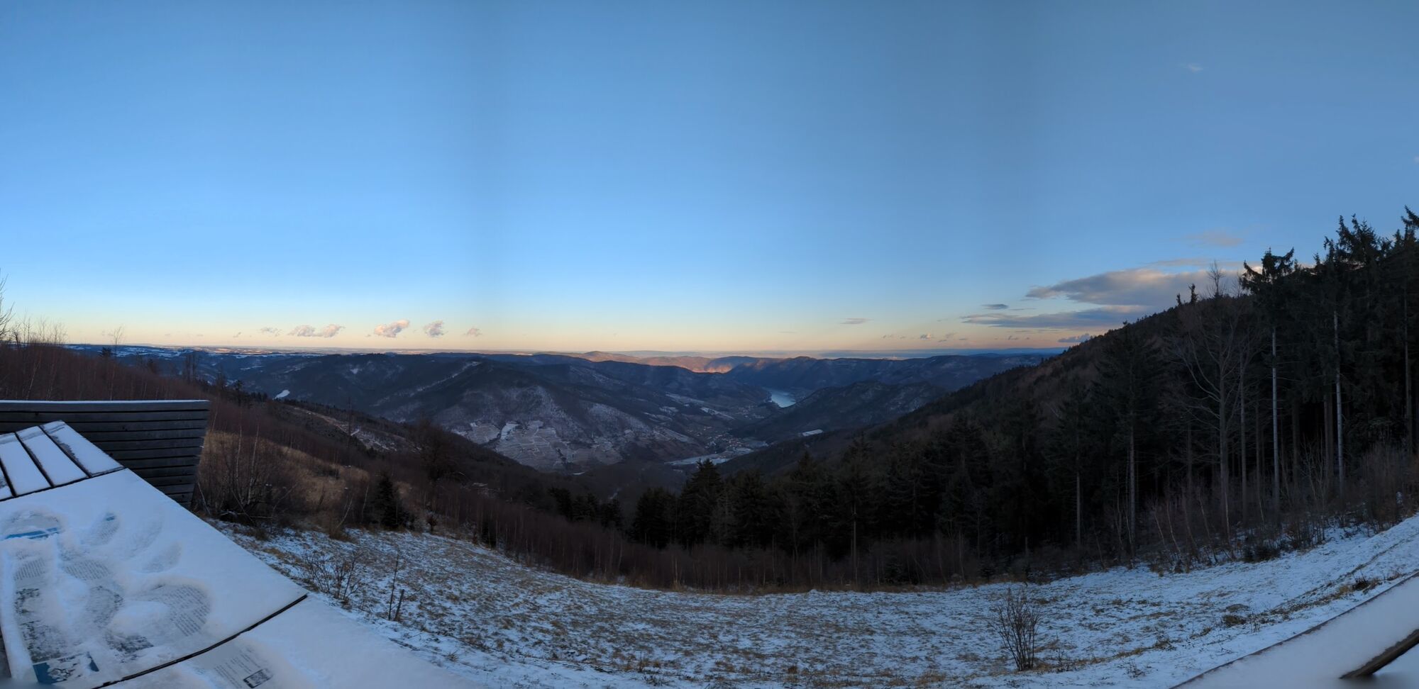
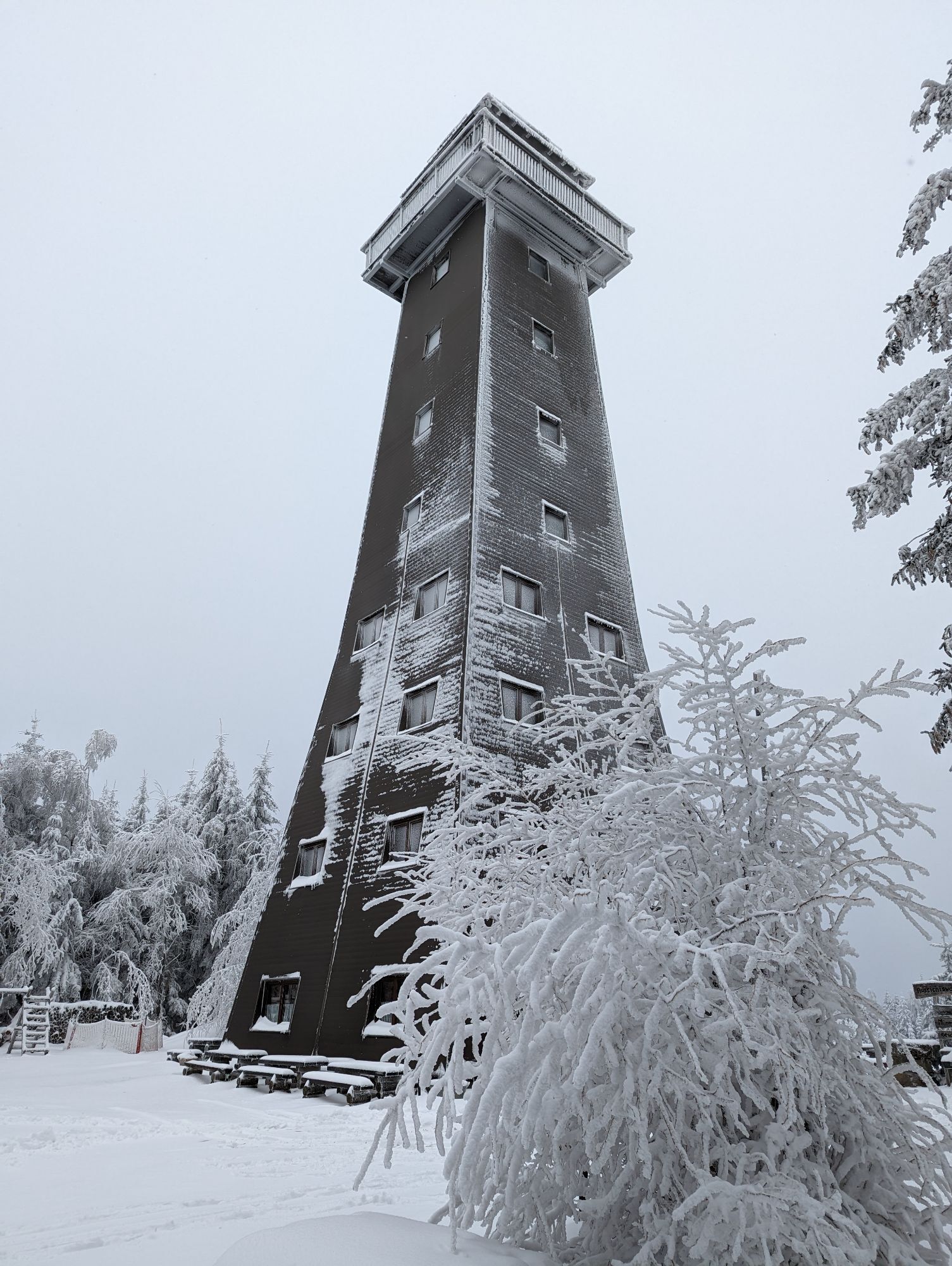
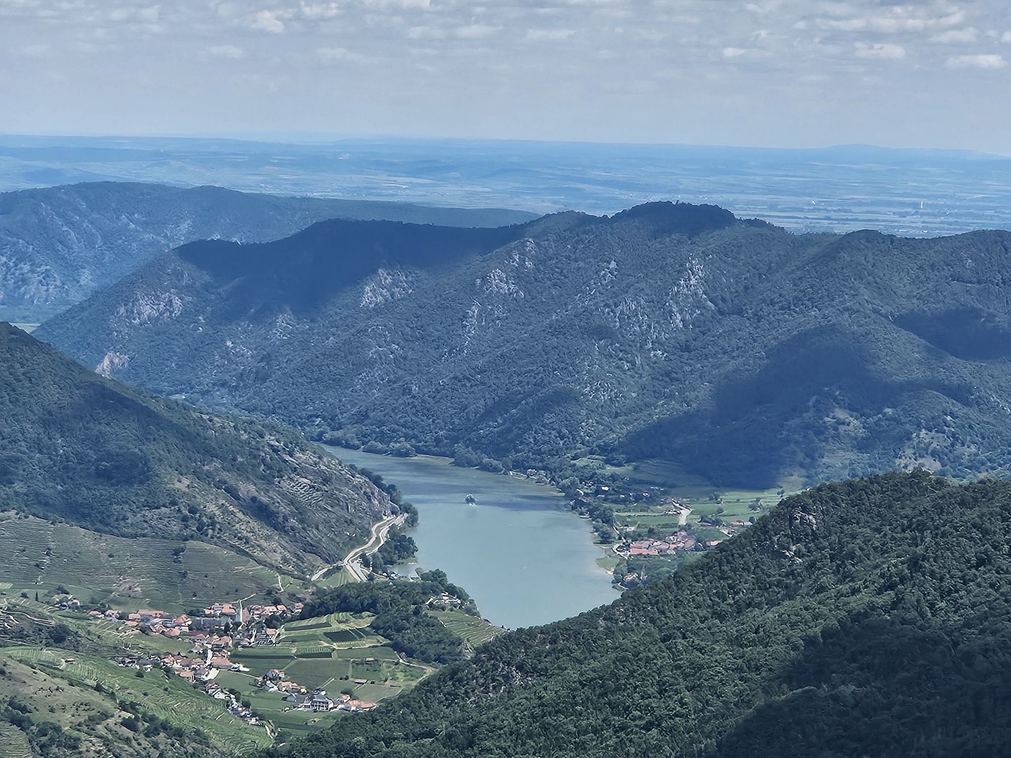
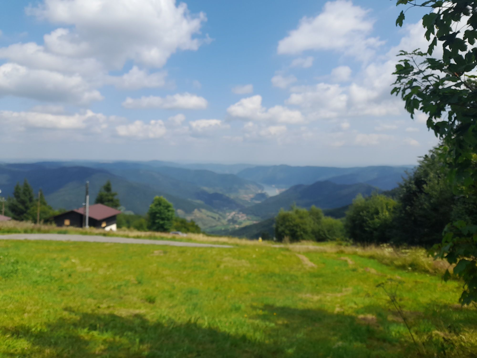
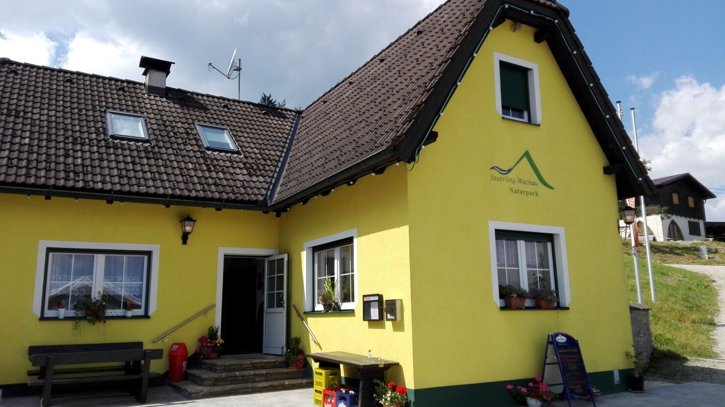
Just below the Jauerling summit at 915 m above sea level lies the Nature Park House – Guesthouse at Jauerling. From the Wachau terrace, you can enjoy the highest and most beautiful view of the Danube.
The nature park guesthouse is car-free and traffic-calmed. The last ten minutes to the nature park guesthouse must be covered on foot. The guesthouse continuously spoils you with hot cuisine. Groups and/or bus tours are requested to register. Regional quality and products, as well as close cooperation with producers from the nature park, characterize the cuisine and the work of the leaseholders, the Gratz family.
www.naturpark-gasthaus.at
Uzyskaj wgląd Zawsze na żywo z ponad 9 500 kamer internetowych. bergfex Jako użytkownik Pro, możesz teraz zobaczyć odpowiednie kamery internetowe dla wielu wycieczek w aplikacji wycieczki od. Pozwala to na bezpośredni podgląd aktualnych warunków. 

Popularne wycieczki w okolicy
- 4,6
Welterbesteig Wachau 02: Dürnstein-Weißenkirchen
światłodługodystansowy szlak pieszy 15,9 km - 4,4
Welterbesteig Wachau 03: Weißenkirchen-Spitz
światłodługodystansowy szlak pieszy 10,4 km - 4,7
Rundhöhenwanderweg Weißenkirchen in der Wachau - Schildhütten - Cholerakreuz - Weißenkirchen
światłoWędrówka 8,75 km - 4,7
Wachau: Seekopf - Hirschwand
średniWędrówka 10,4 km - 4,6
Krems (Welterbesteig) - Dürnstein - Vogelbergsteig - Kanzel - Fesslhütte - Krems
średniWędrówka 18,0 km - 4,5
Panoramaweg Weissenkirchen
światłoWędrówka 5,04 km - 4,5
Maria Langegg - Rote Wand - Hoher Stein - Kastlkreuz
średniWędrówka 11,4 km - 4,5
Seekopf und Hirschwand
średniWędrówka 2,83 km - 4,8
Wachau: Panoramaweg Rossatz
światłoWędrówka 10,8 km - 4,5
Hirschwand und Seekopf
średniWędrówka 9,09 km
Wędrówki i tropienie


Nie przegap ofert i inspiracji na następne wakacje
Twój adres e-mail została dodana do listy mailingowej.





