


Skitour - Ötscher - Rauer Kamm - Fürstenplan
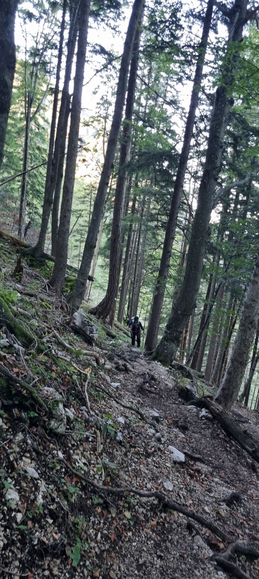
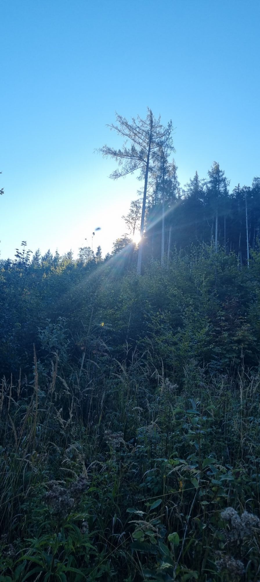
Vom Ausgangspunkt Raneck (954m) entlang des Forstwegs in leichtem Auf und Ab an den Edelbachmäuern vorbei. In der folgenden leichten Linkskurve Richtung Osten abzweigen und bis zum von Bärenlacken in Nord-Süd-Richtung...
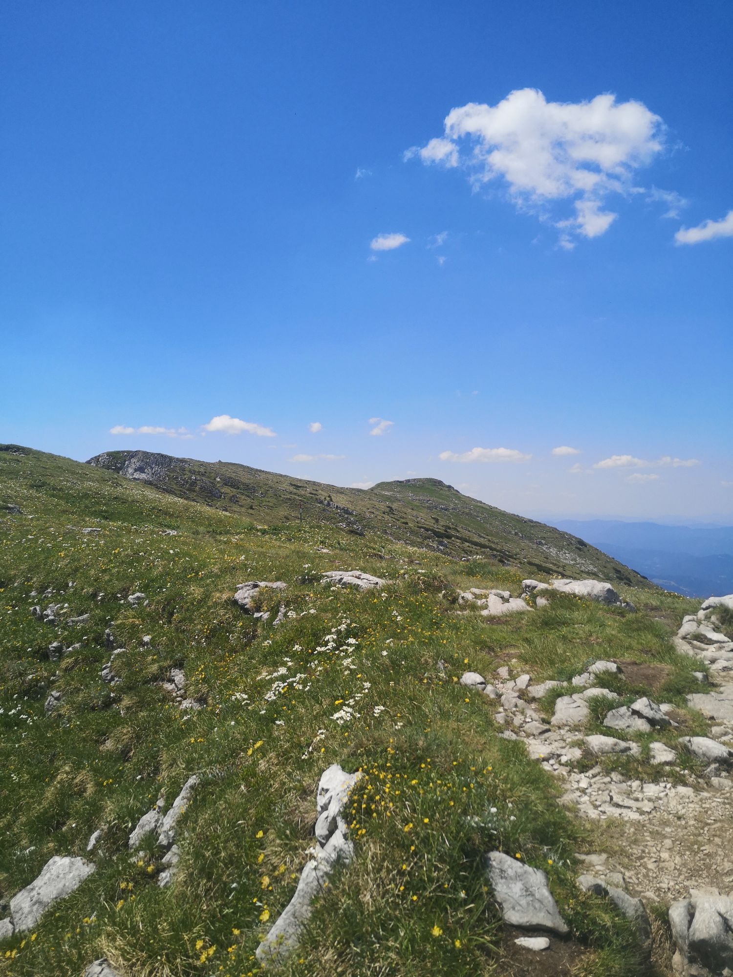
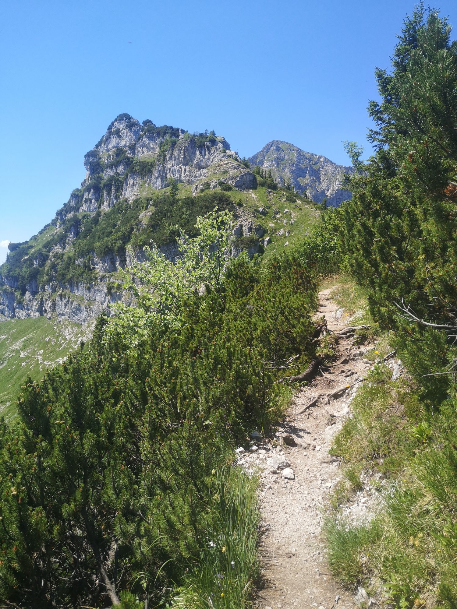
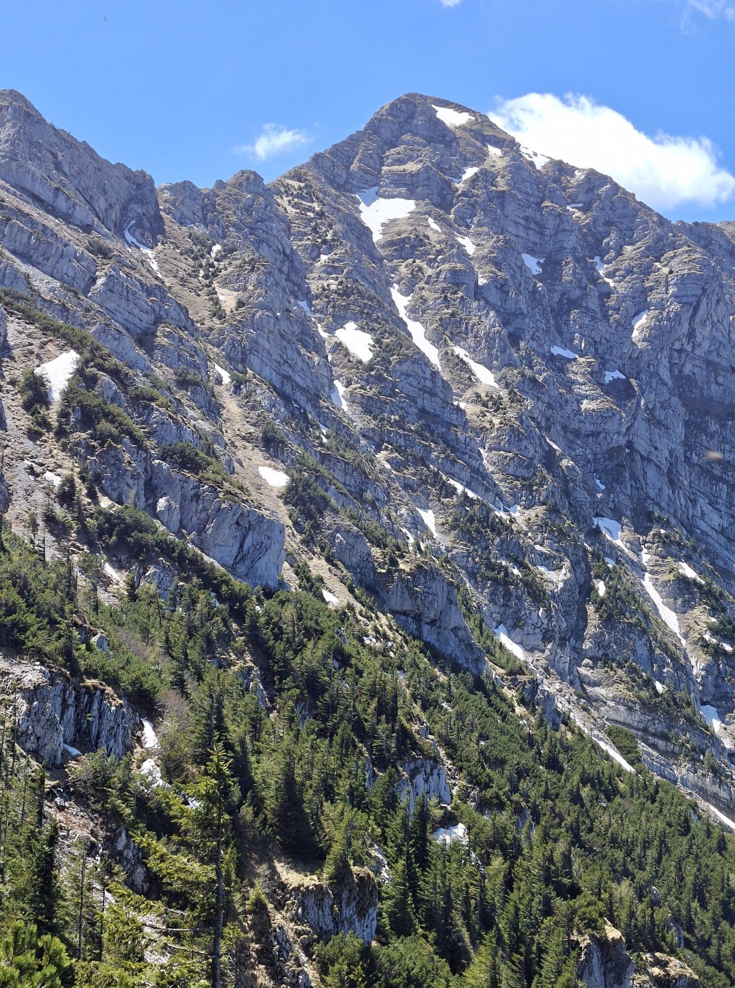
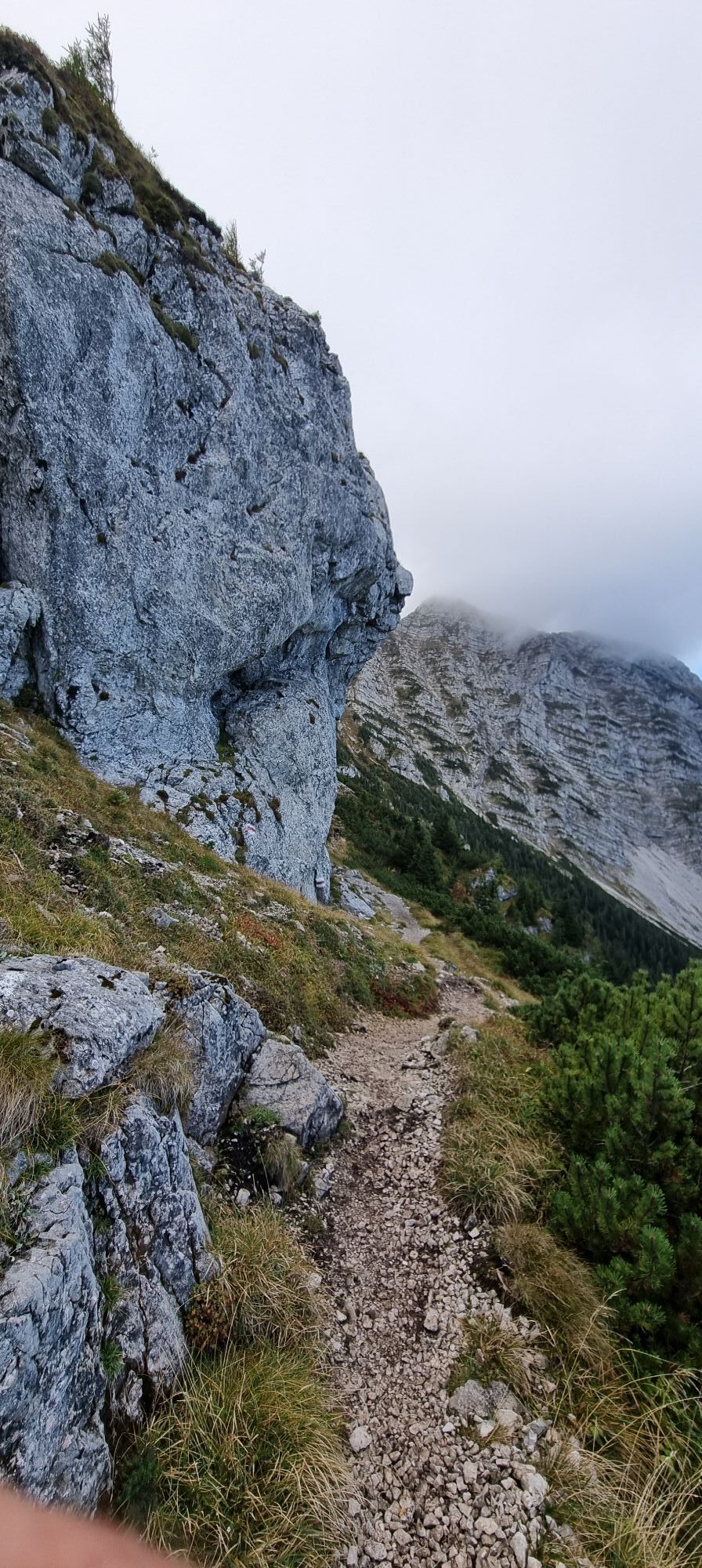
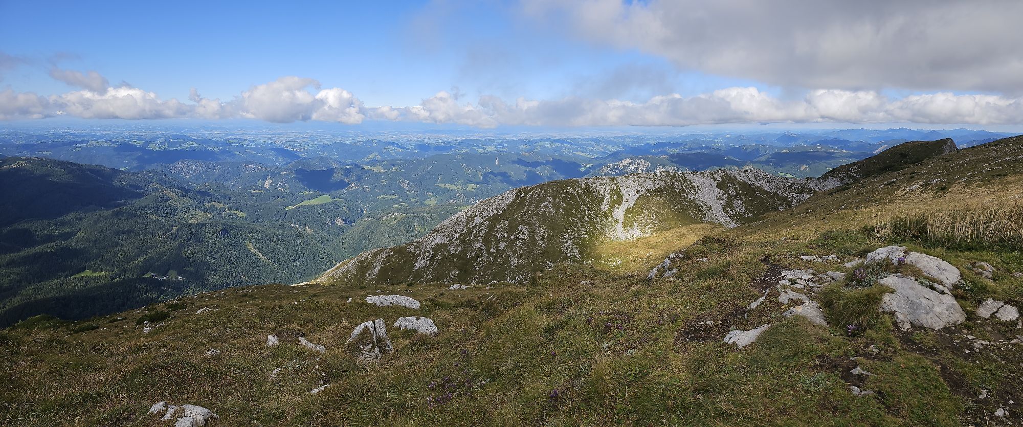
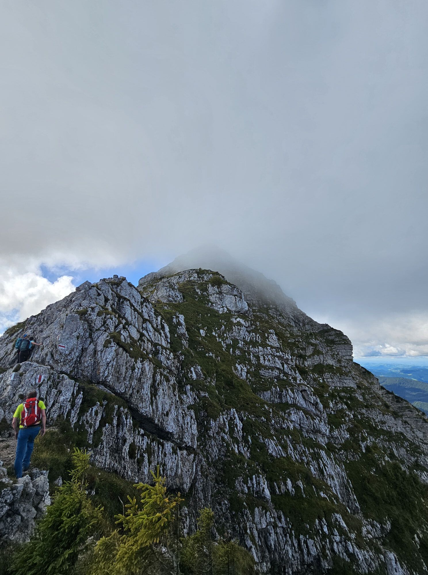
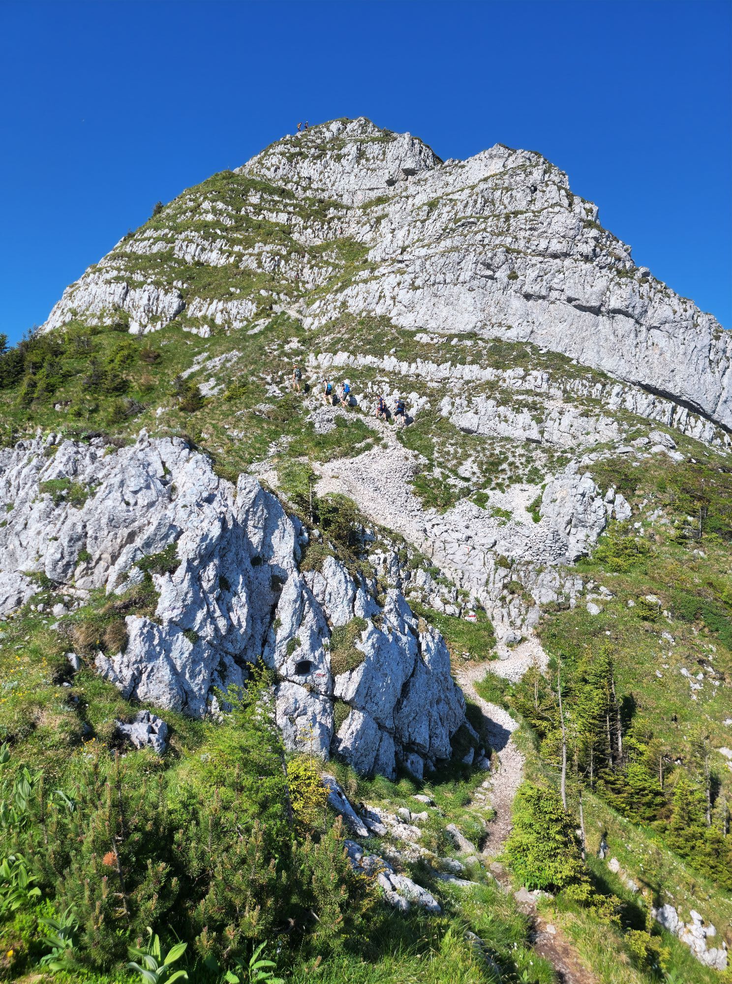
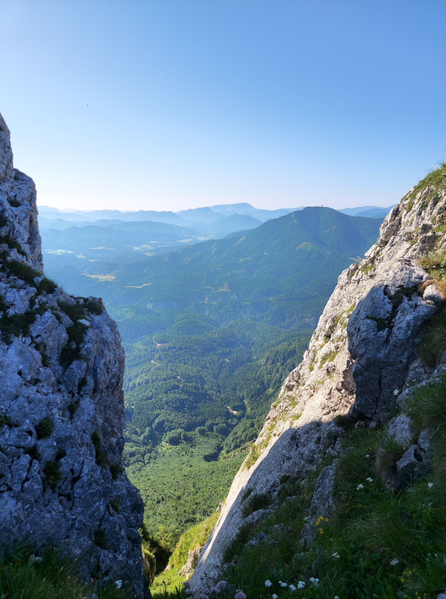
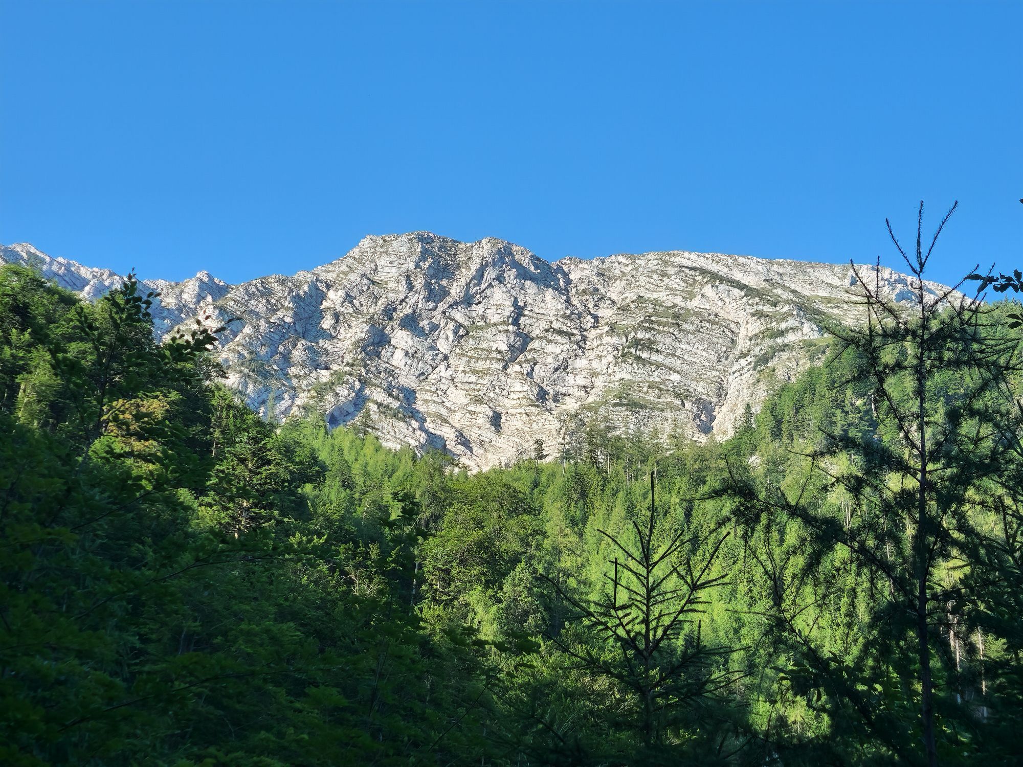
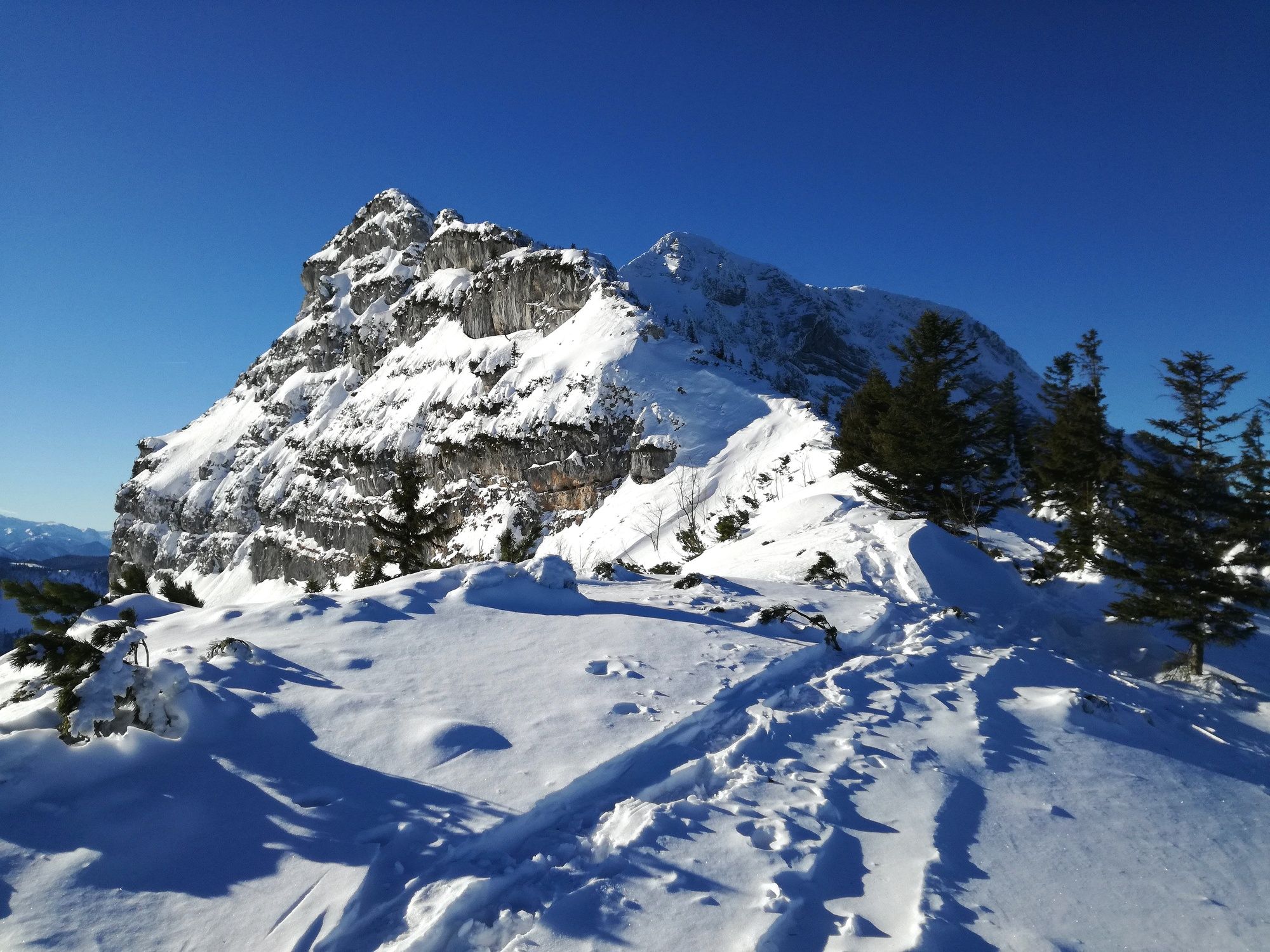
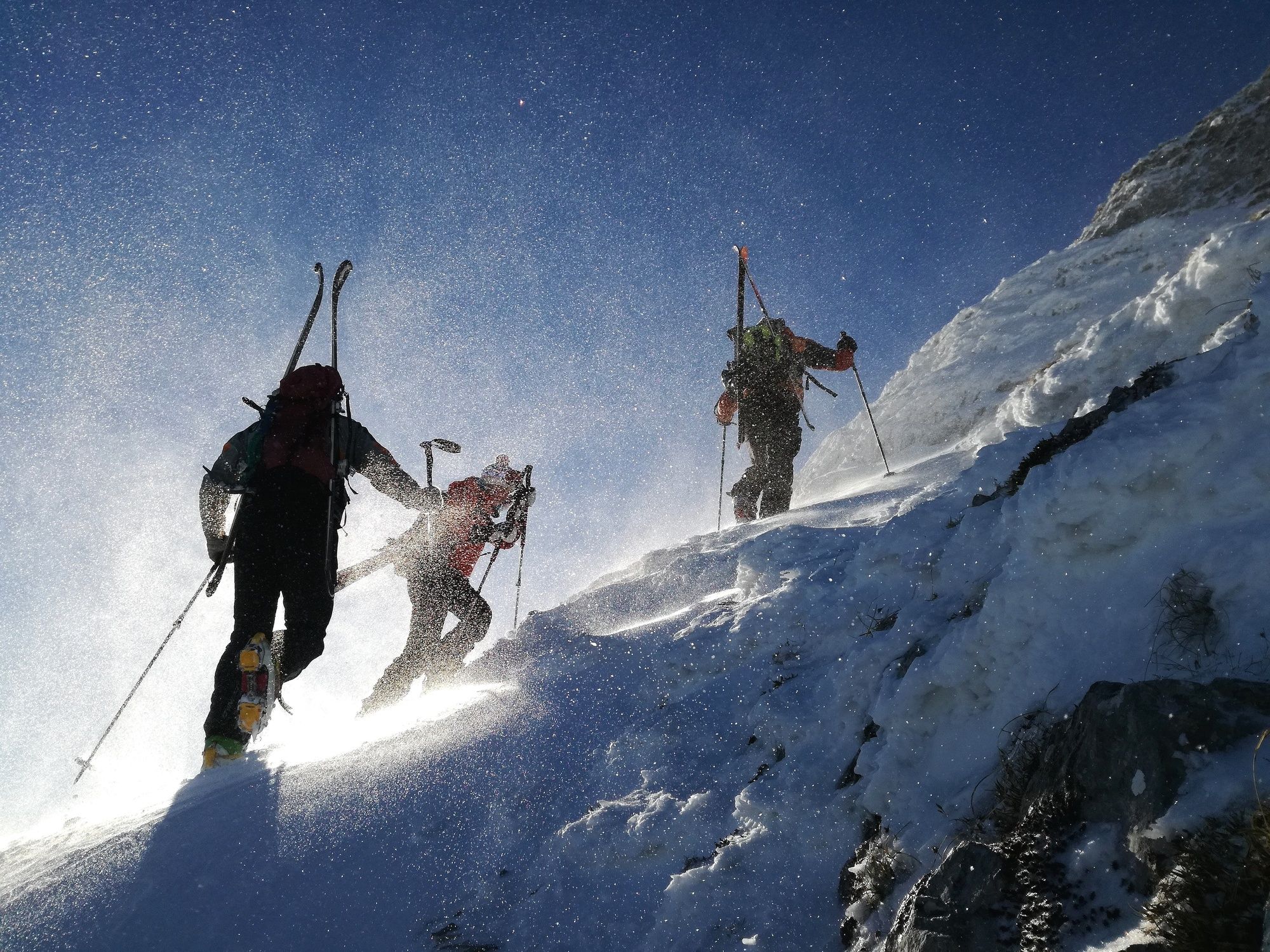
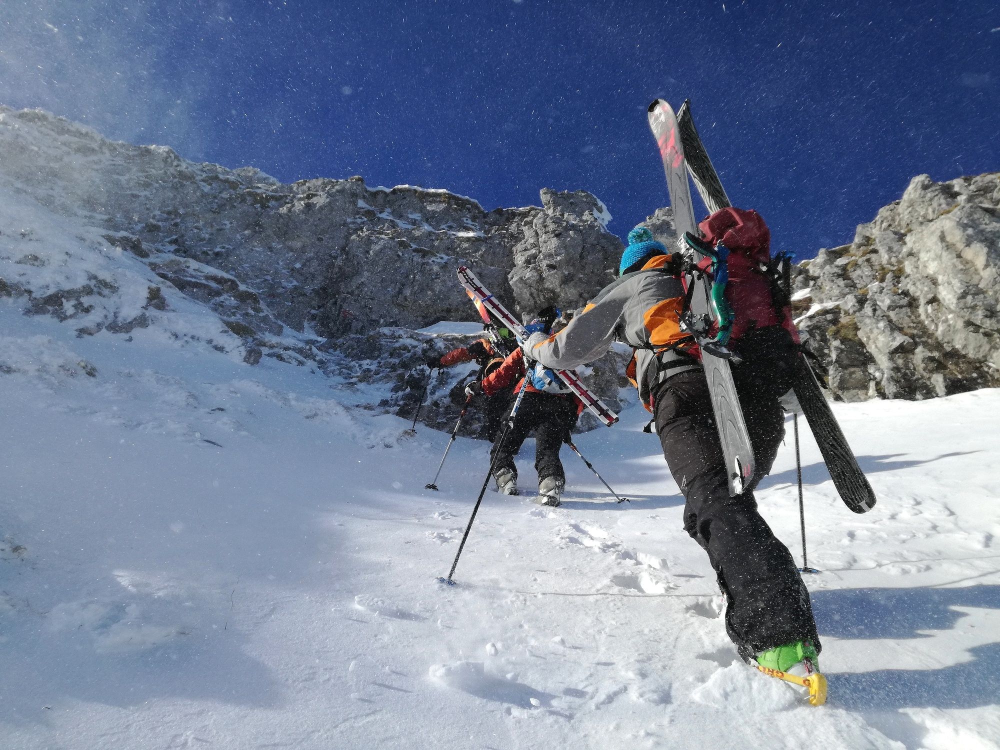
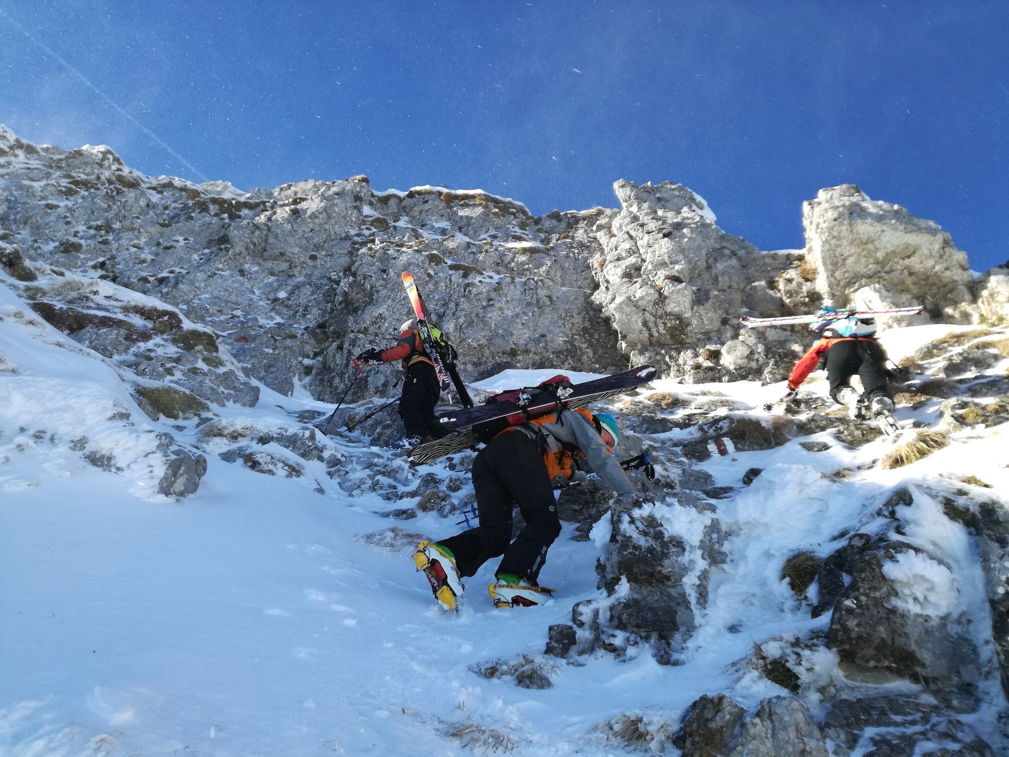
Vom Ausgangspunkt Raneck (954m) entlang des Forstwegs in leichtem Auf und Ab an den Edelbachmäuern vorbei. In der folgenden leichten Linkskurve Richtung Osten abzweigen und bis zum von Bärenlacken in Nord-Süd-Richtung nach oben ziehenden Wanderweg kreuzen. Diesen bergauf folgen, bis man auf ca. 1500m auf den Kamm kommt. Von dort in westlicher Richtung auf der rechten Kammseite unter einer markanten Felswand queren und leicht bergauf steigen. Ski ab- und, gegebenenfalls, Steigeisen anschnallen.
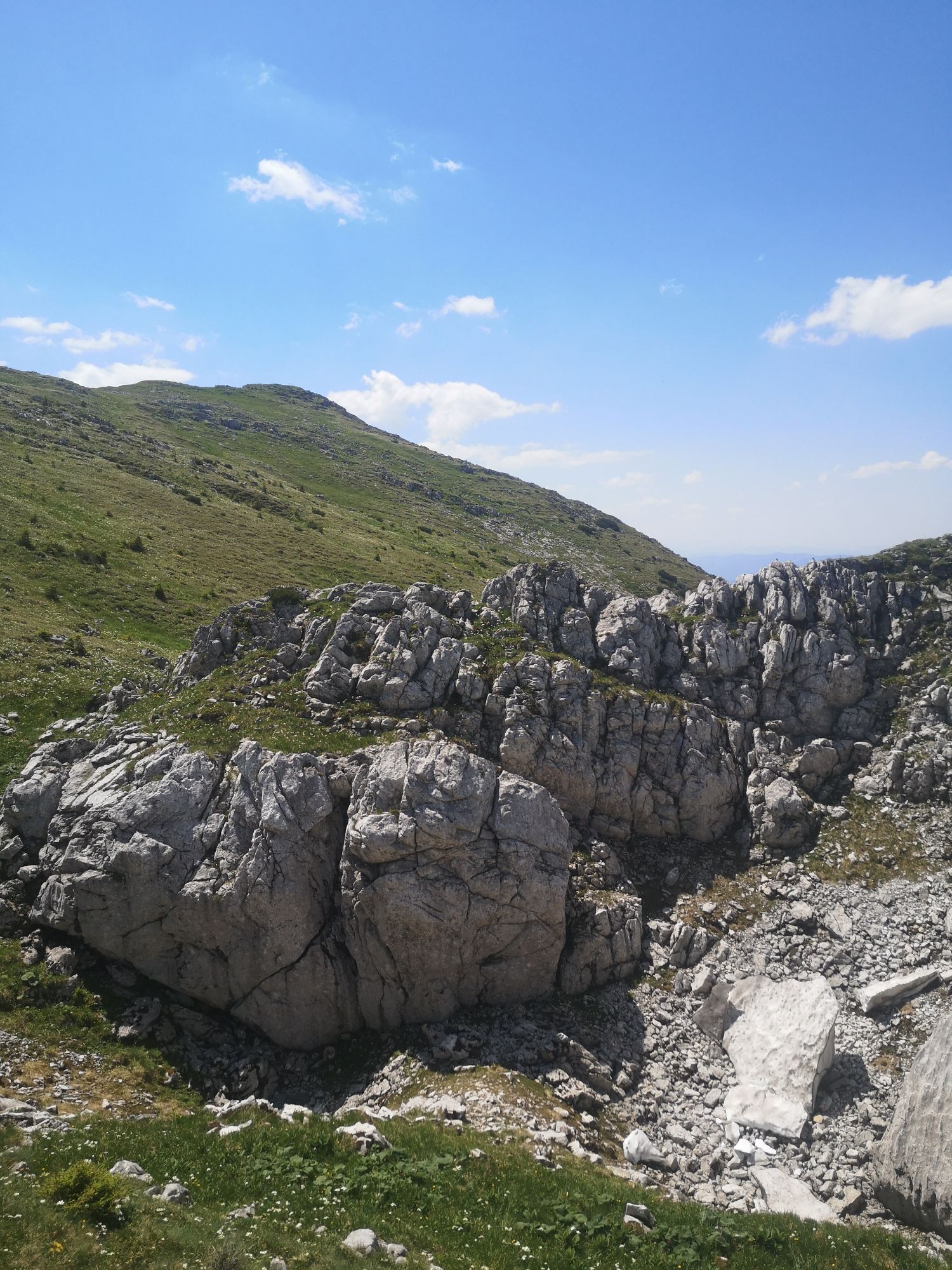
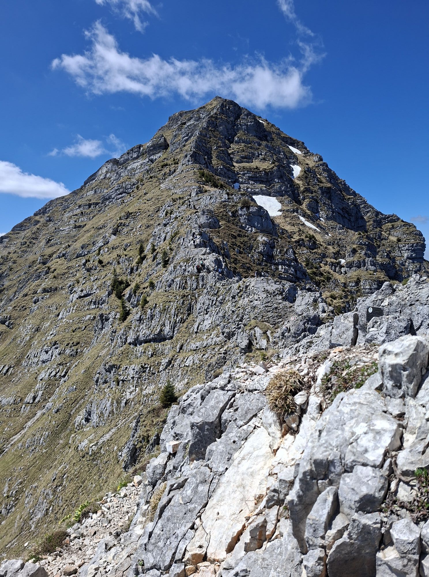
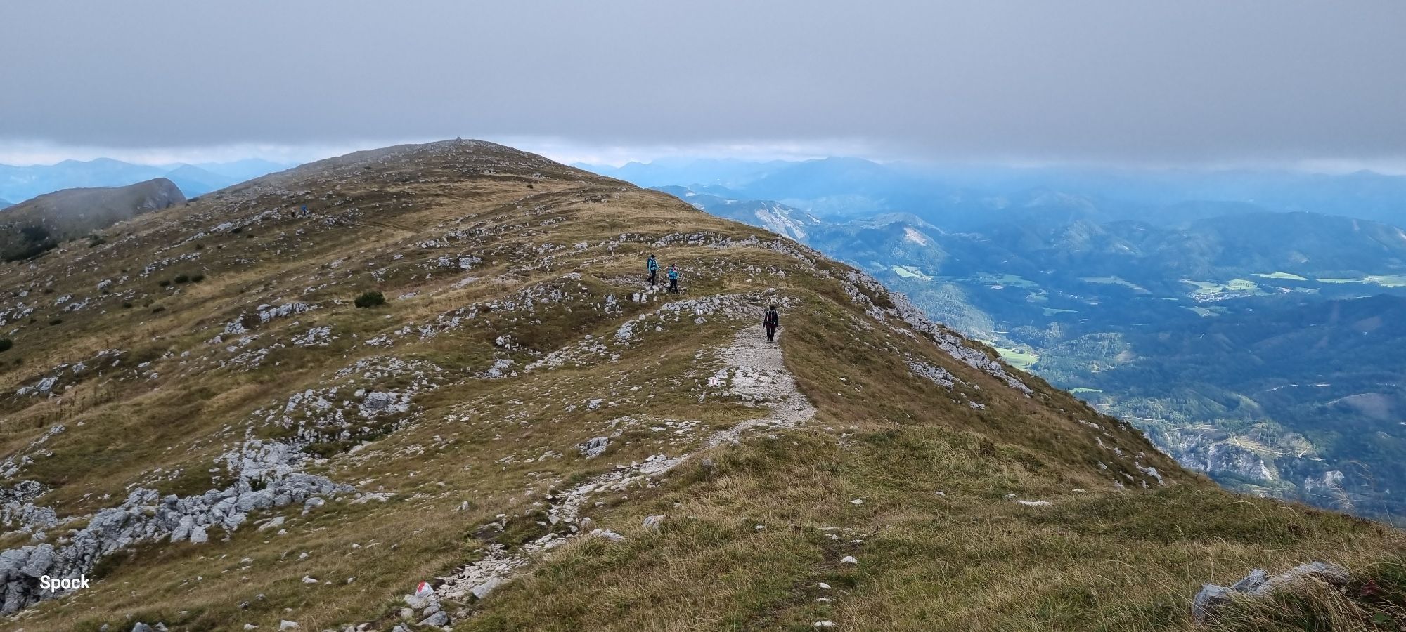
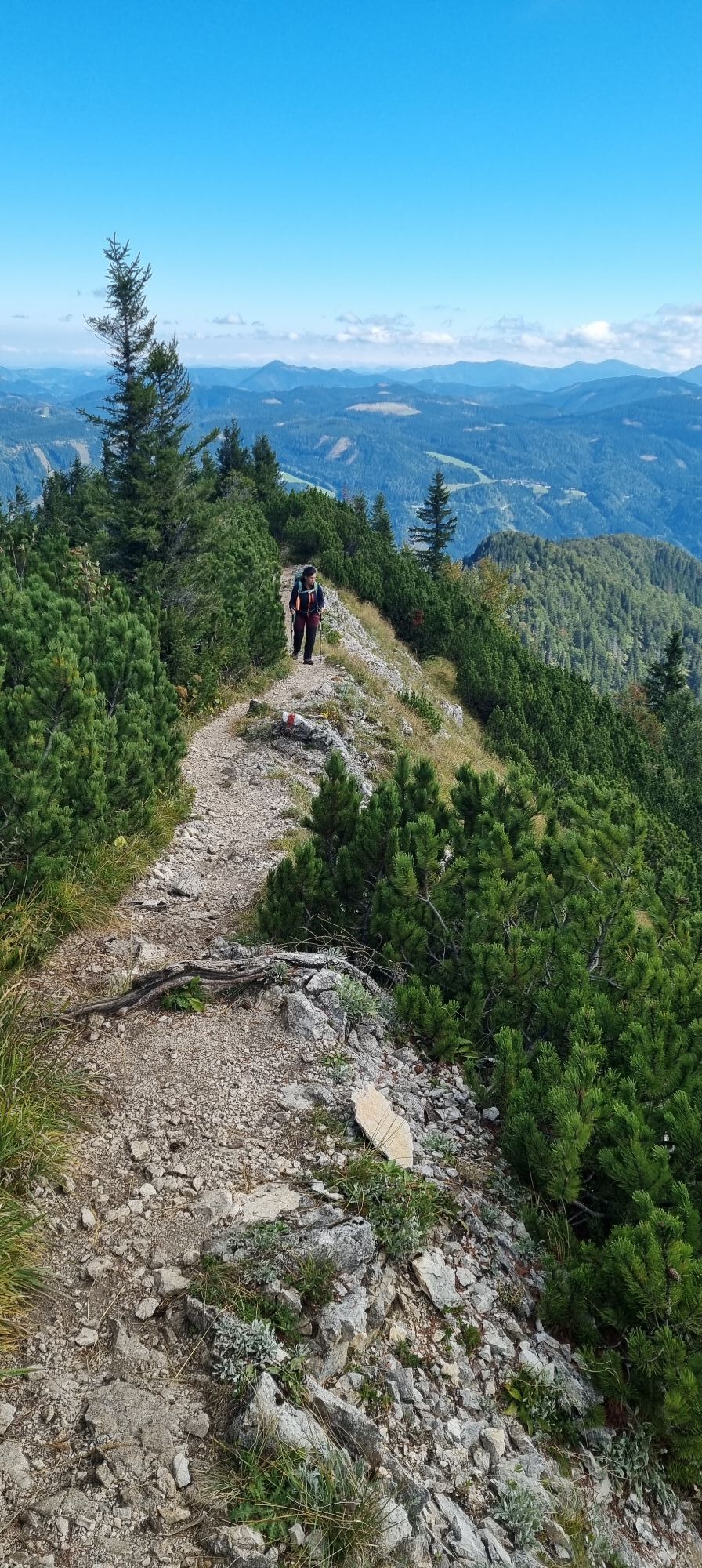
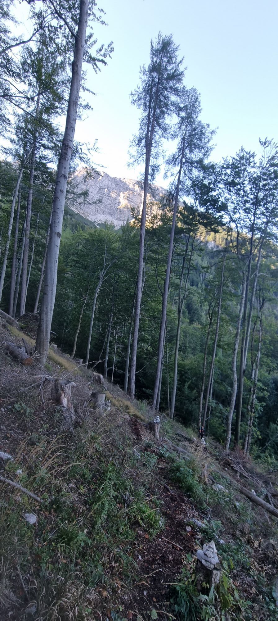
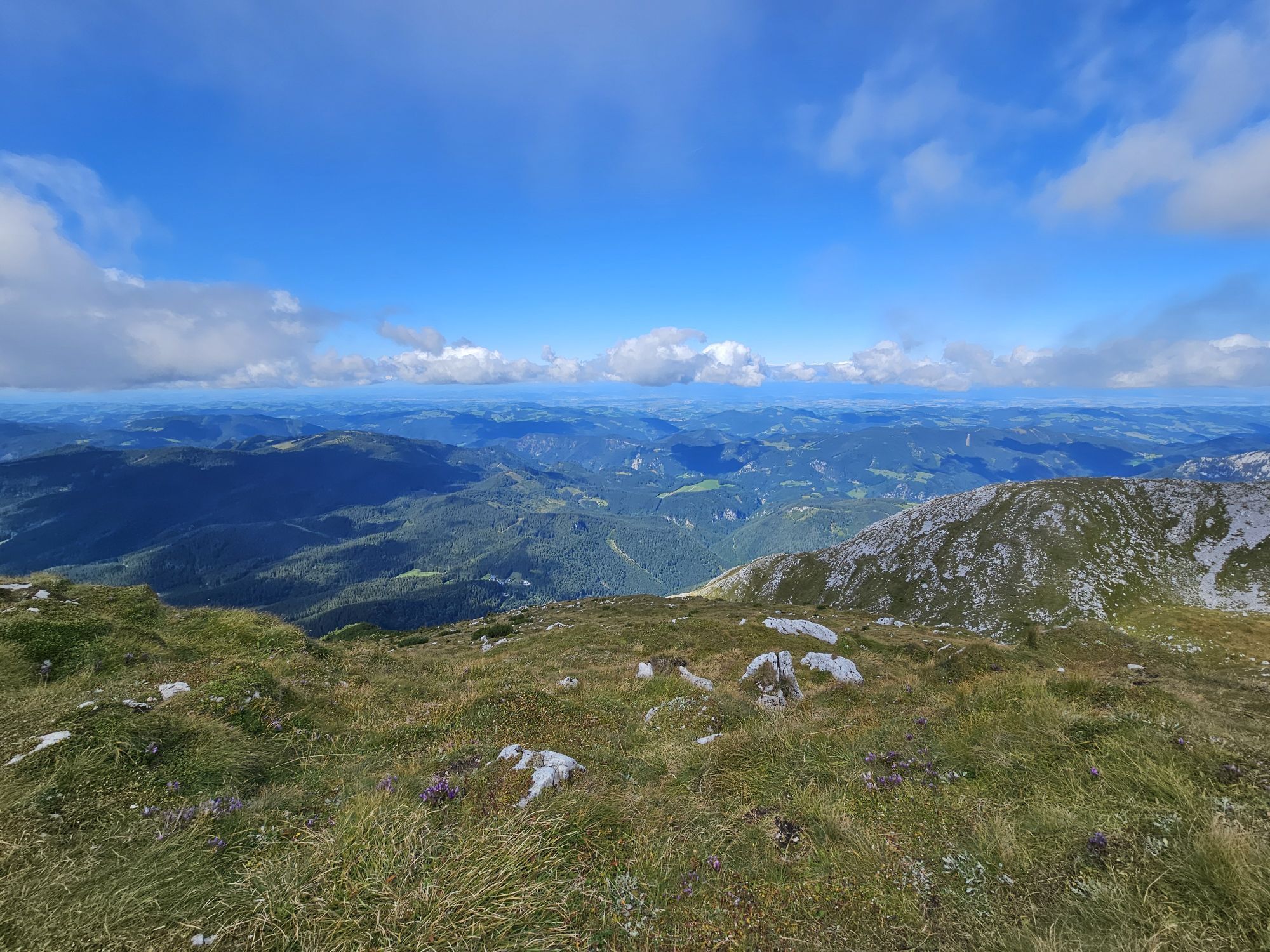
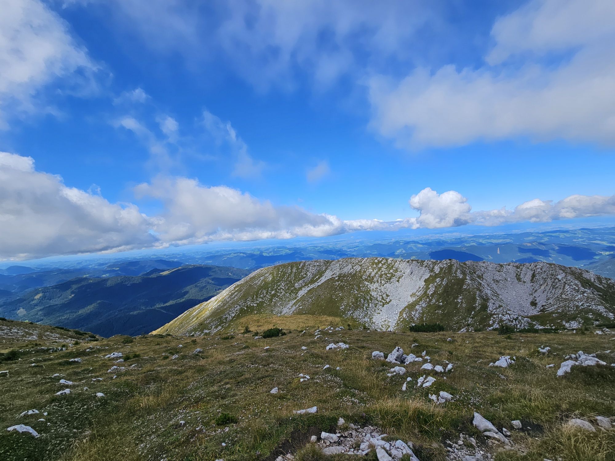
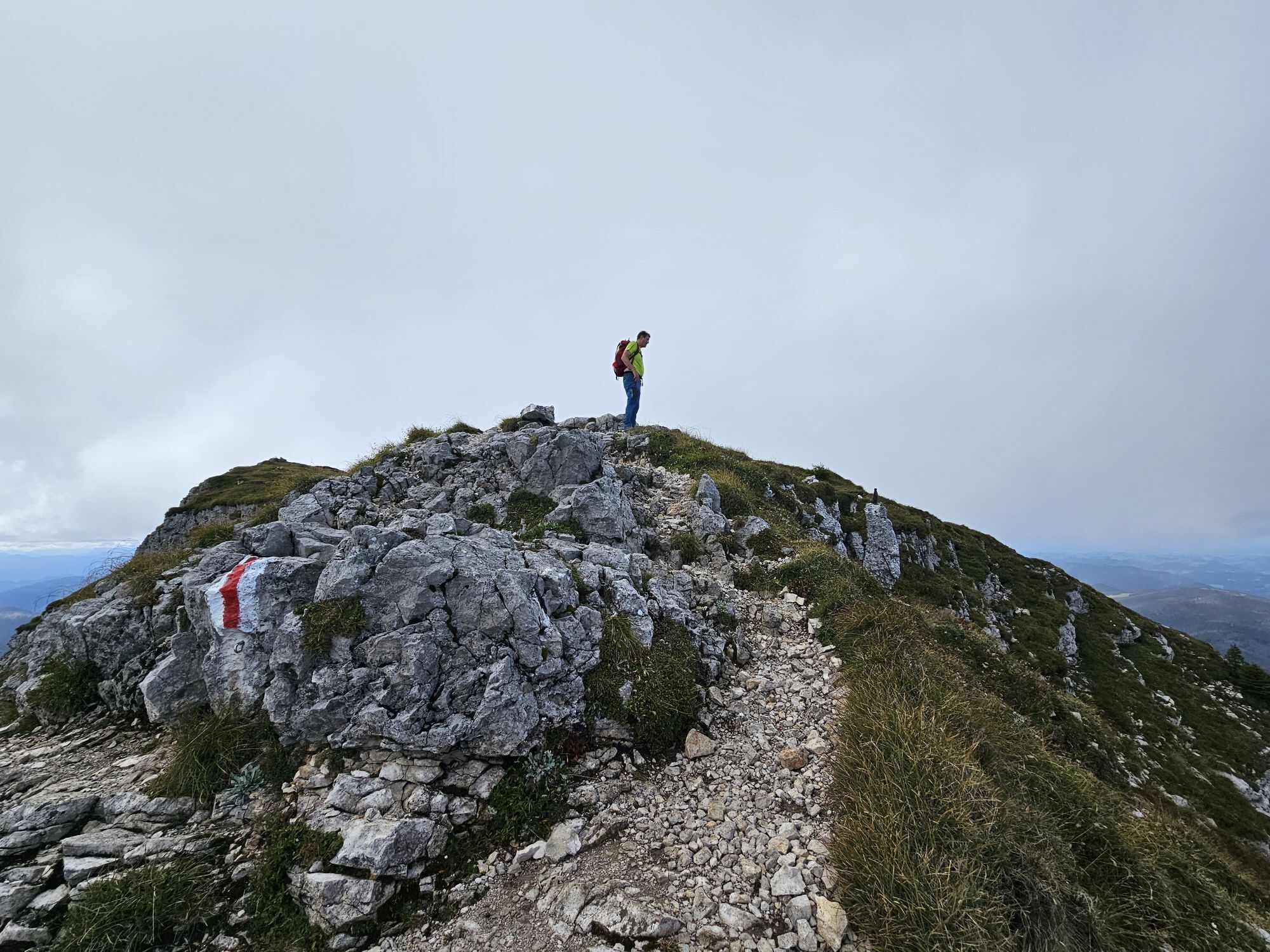
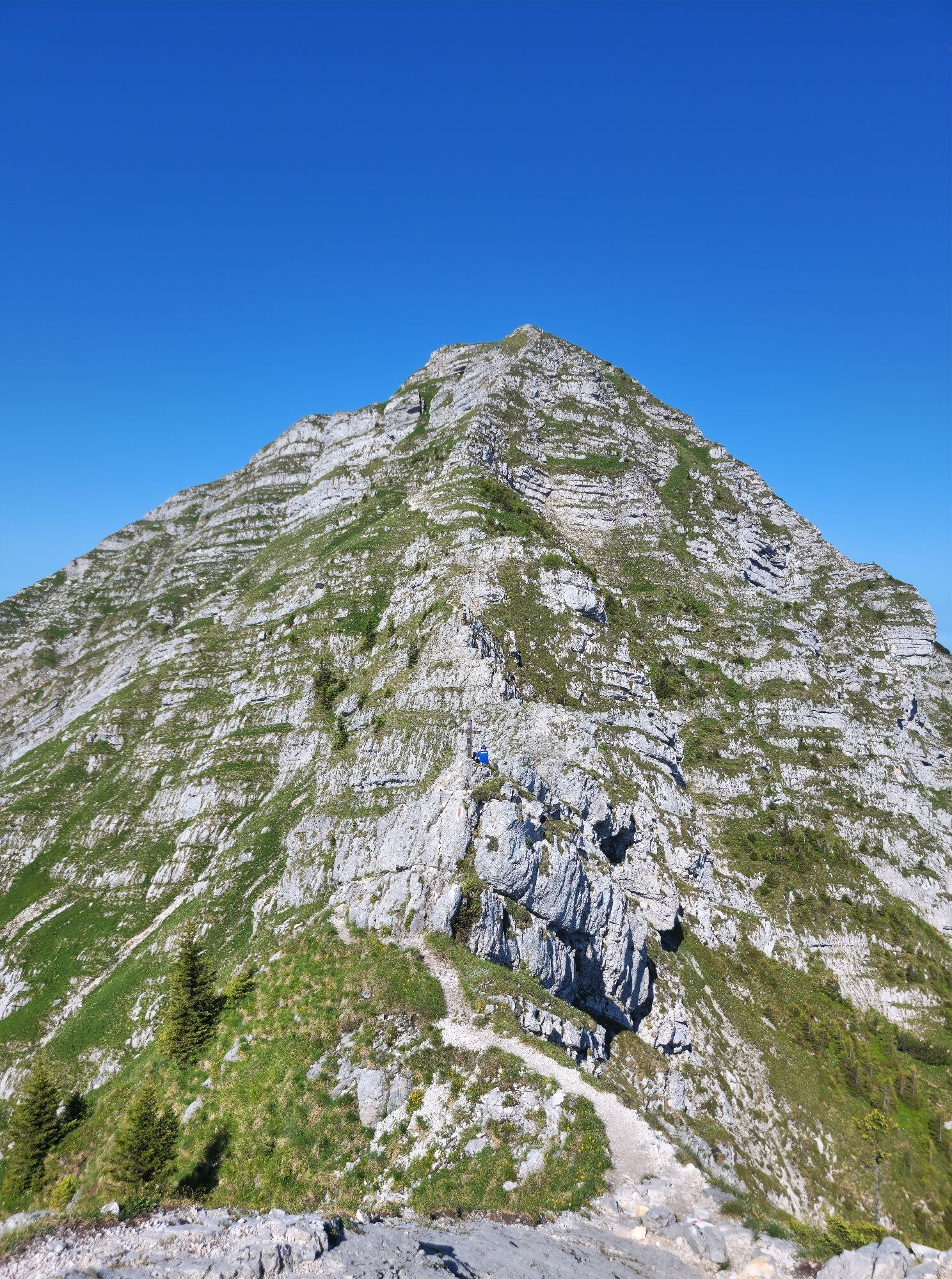
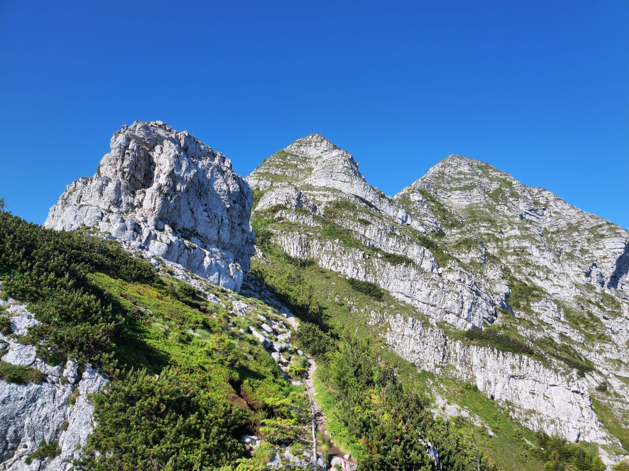
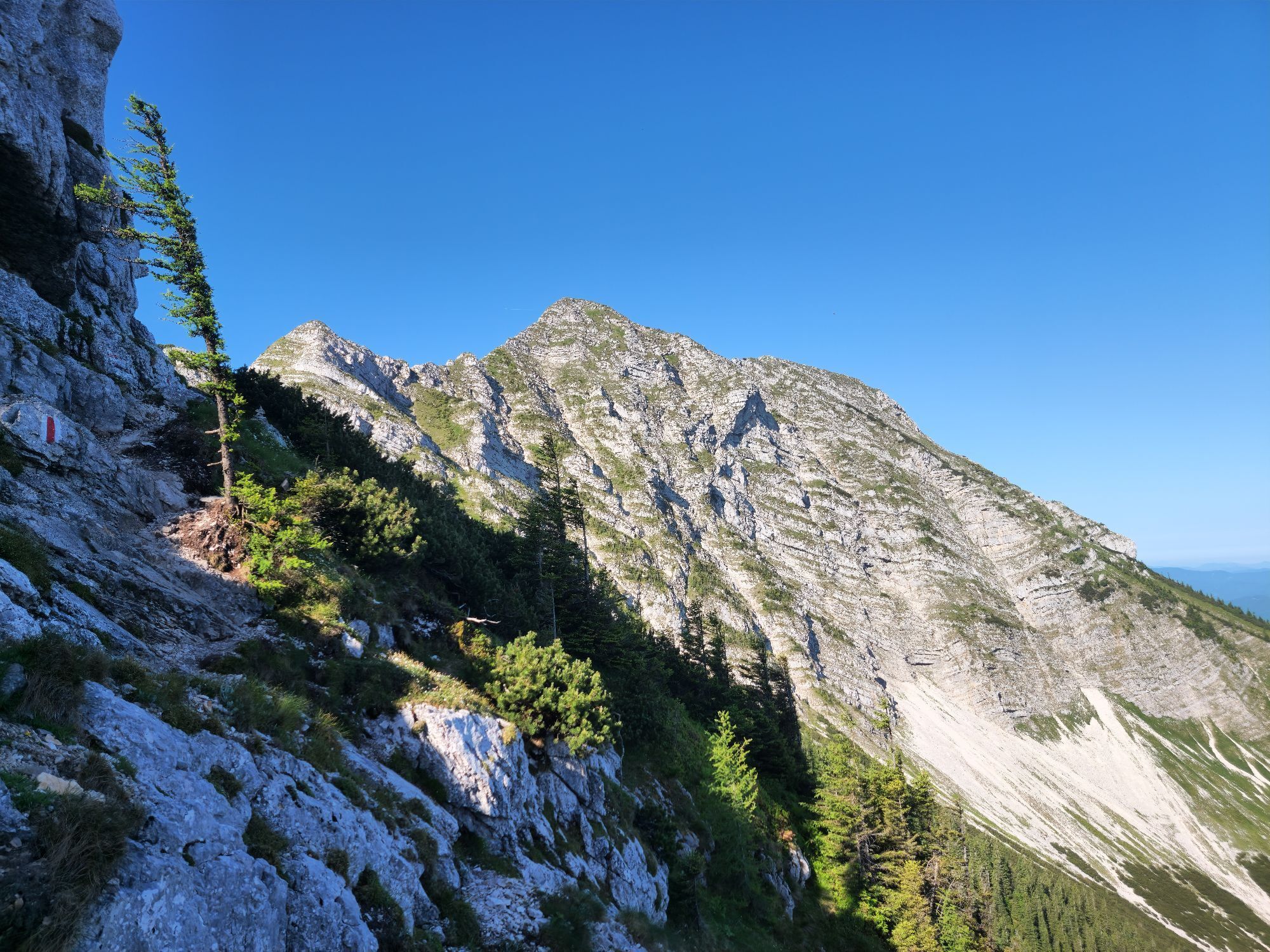
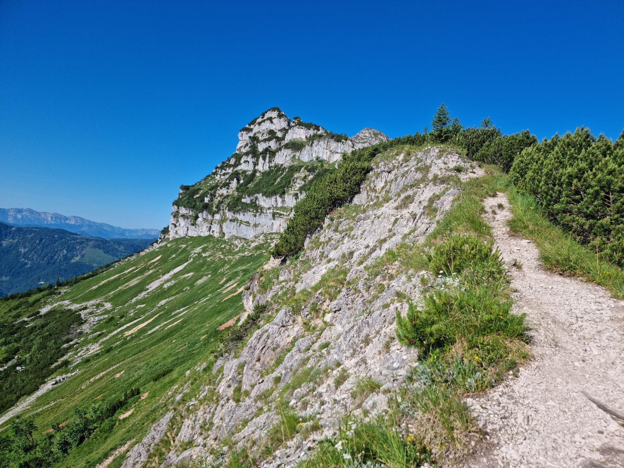
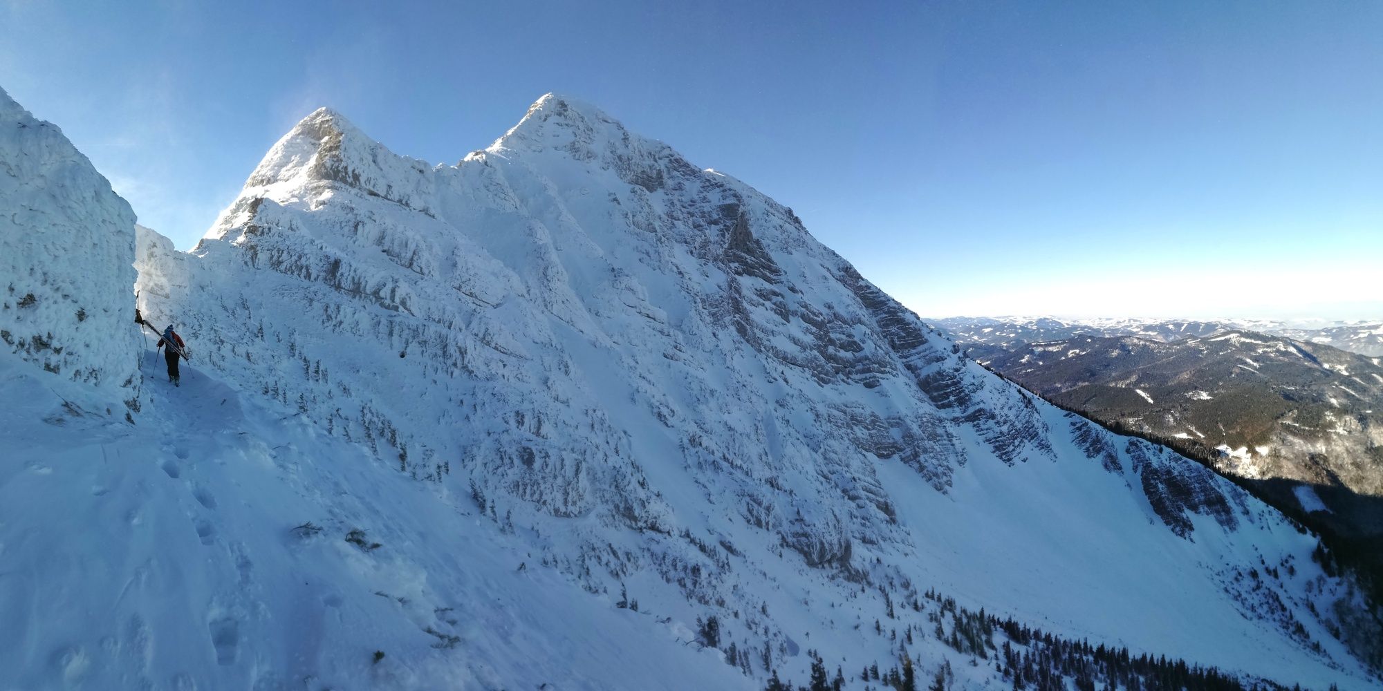
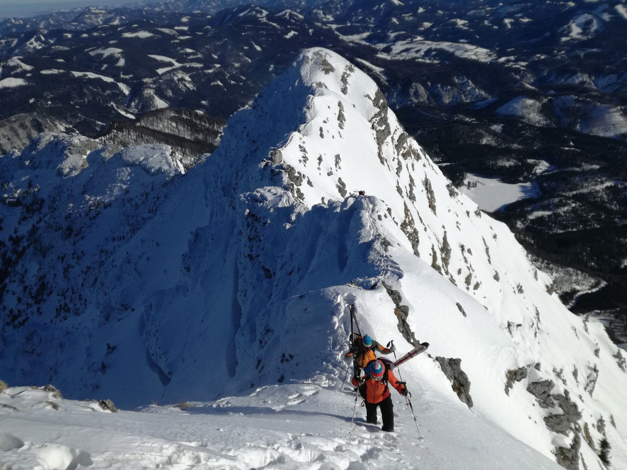
Man folgt dem Rauen Kamm am Beginn meistens rechtshaltend und wechselt dann im Mittelteil auf die südliche Kammseite (ca. 1650m). Je nach Verhältnissen den Kamm weiter bergauf.
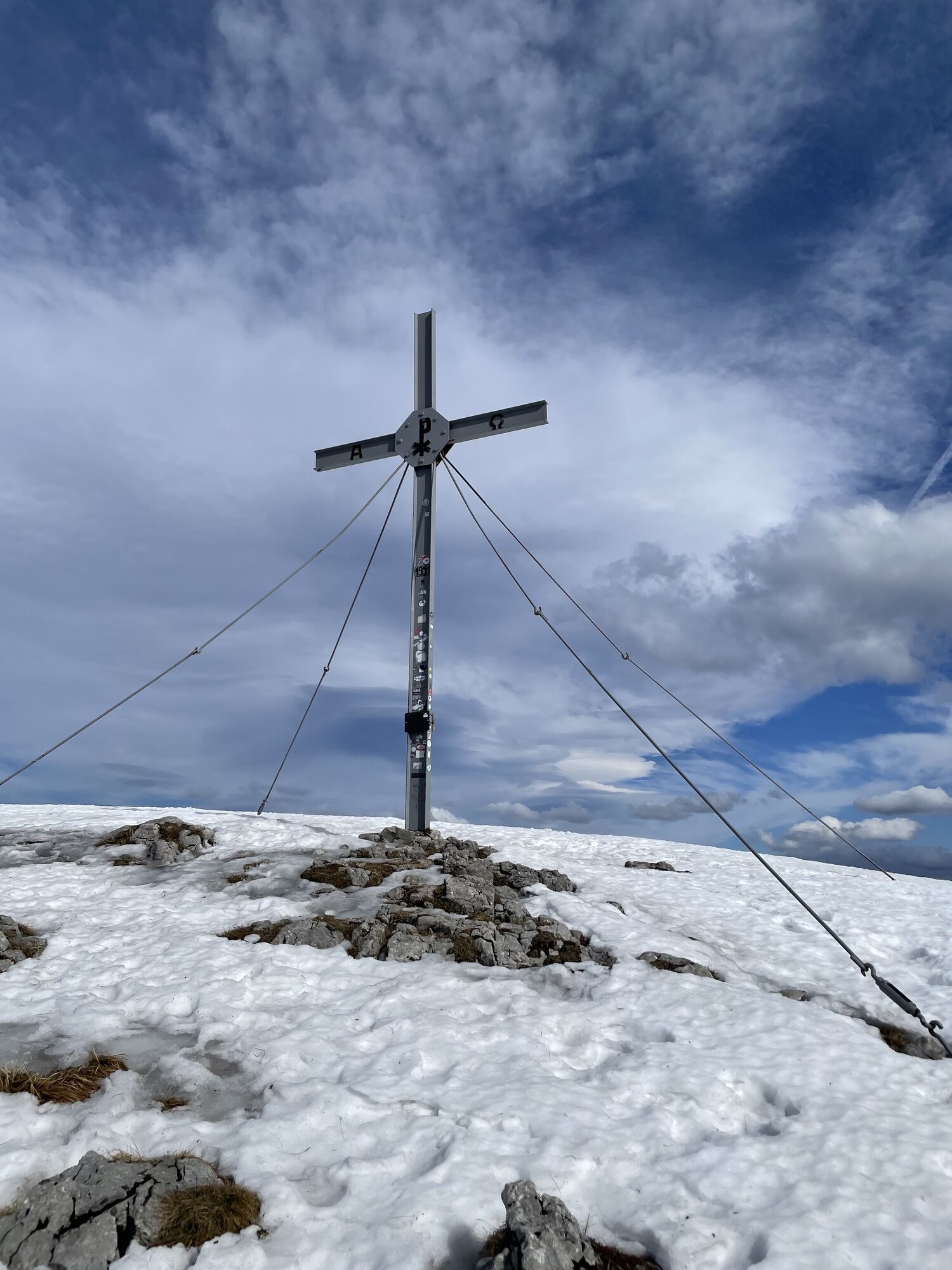
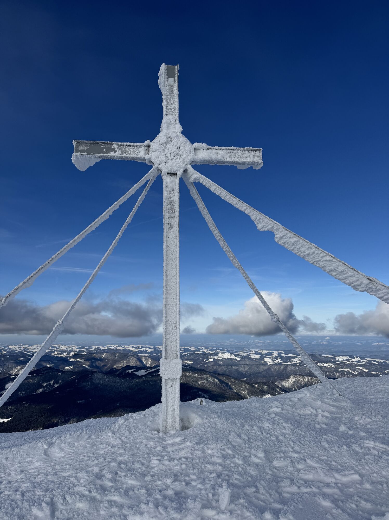
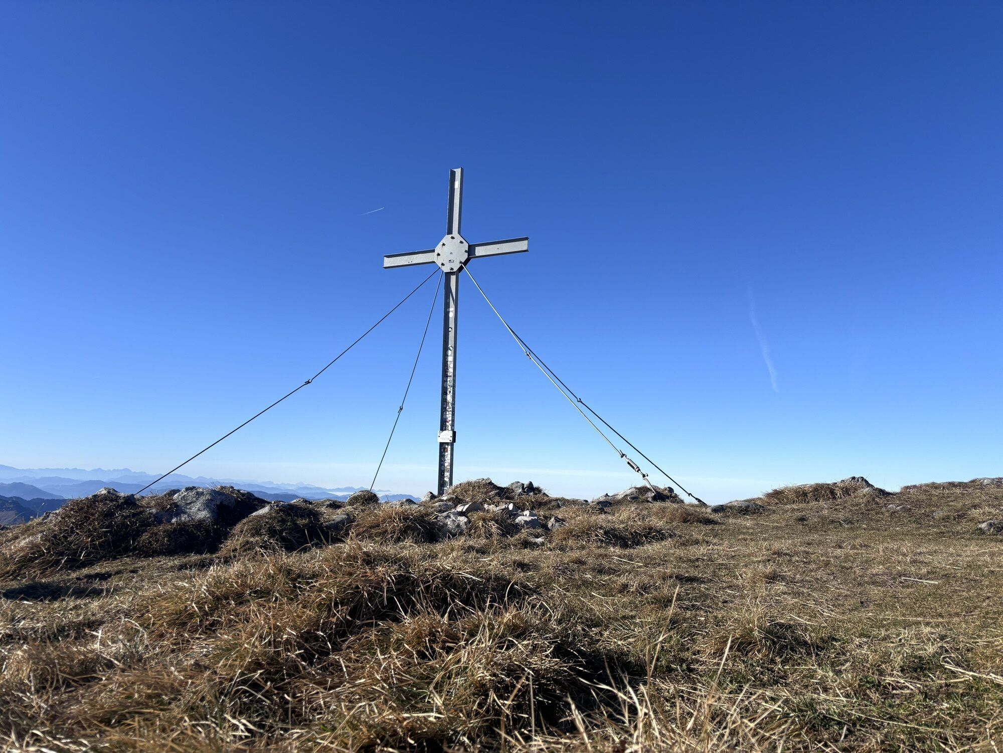
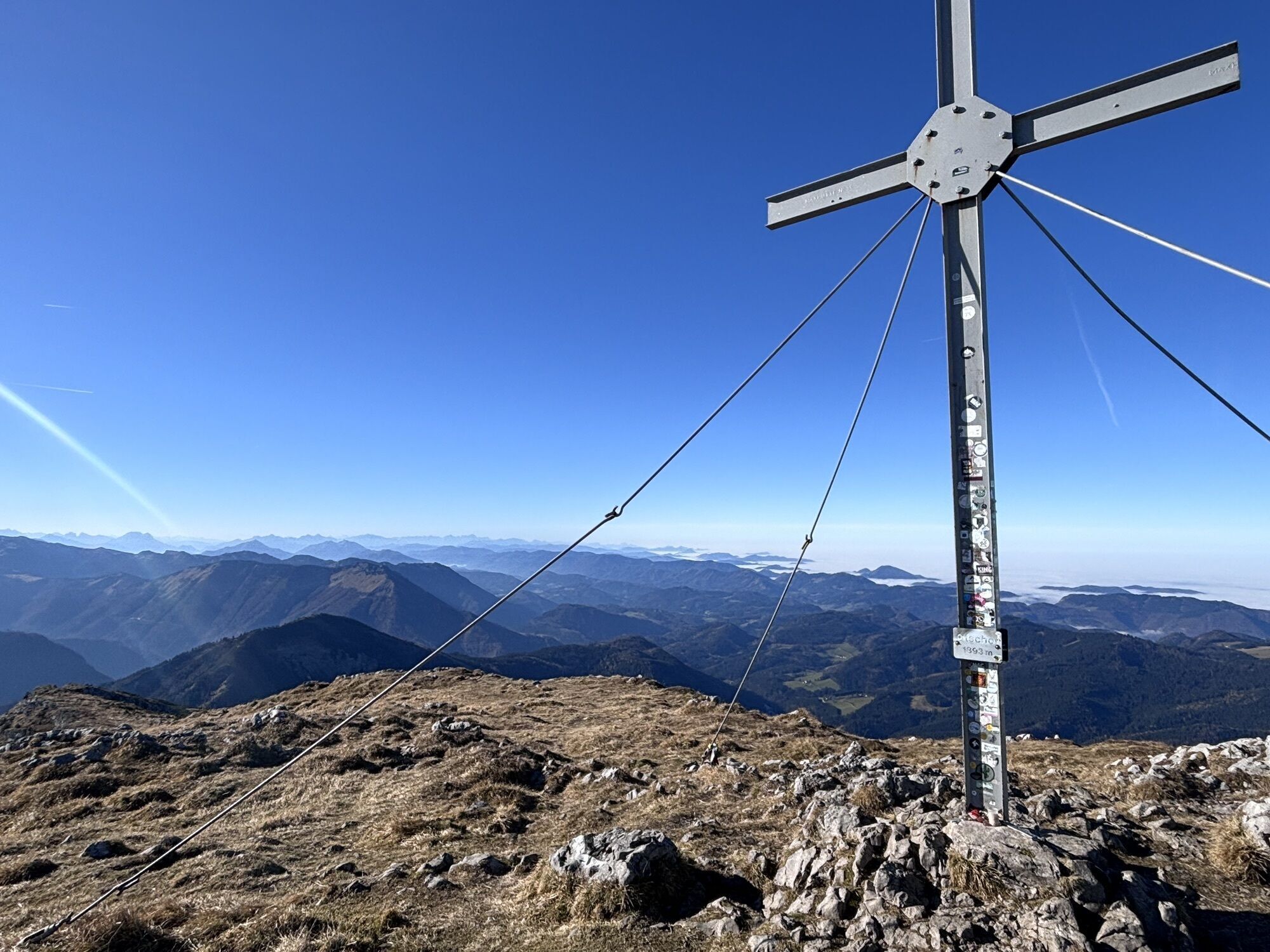
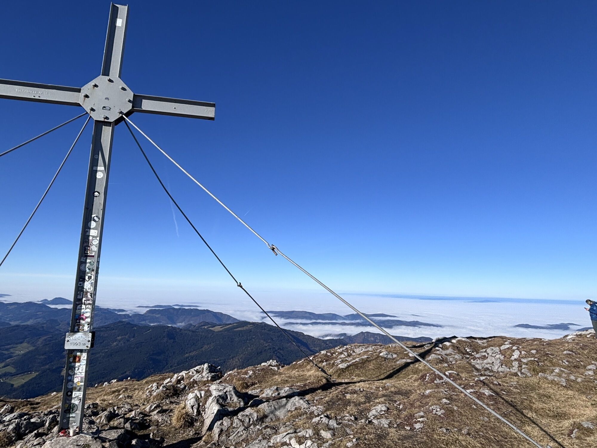
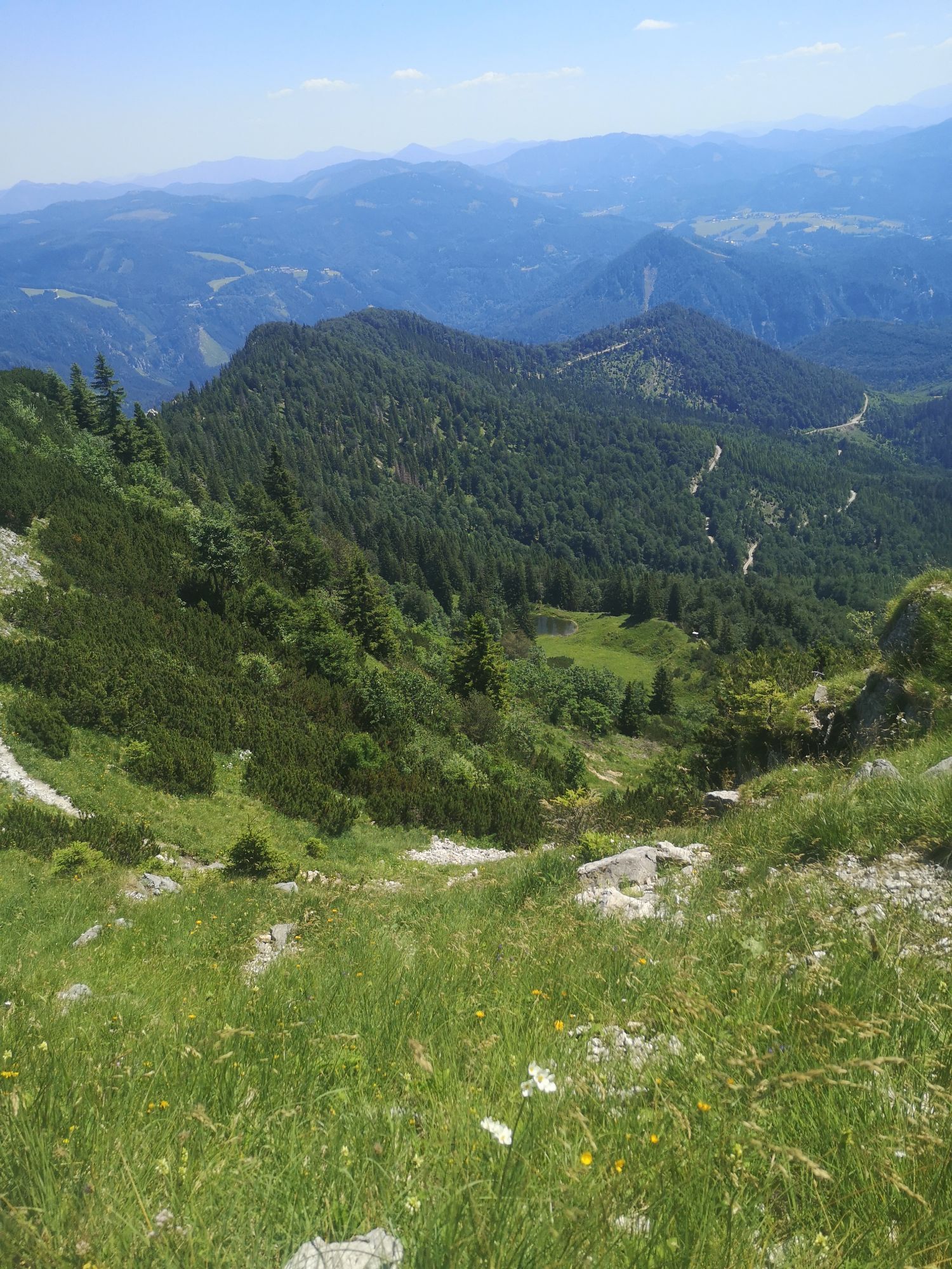
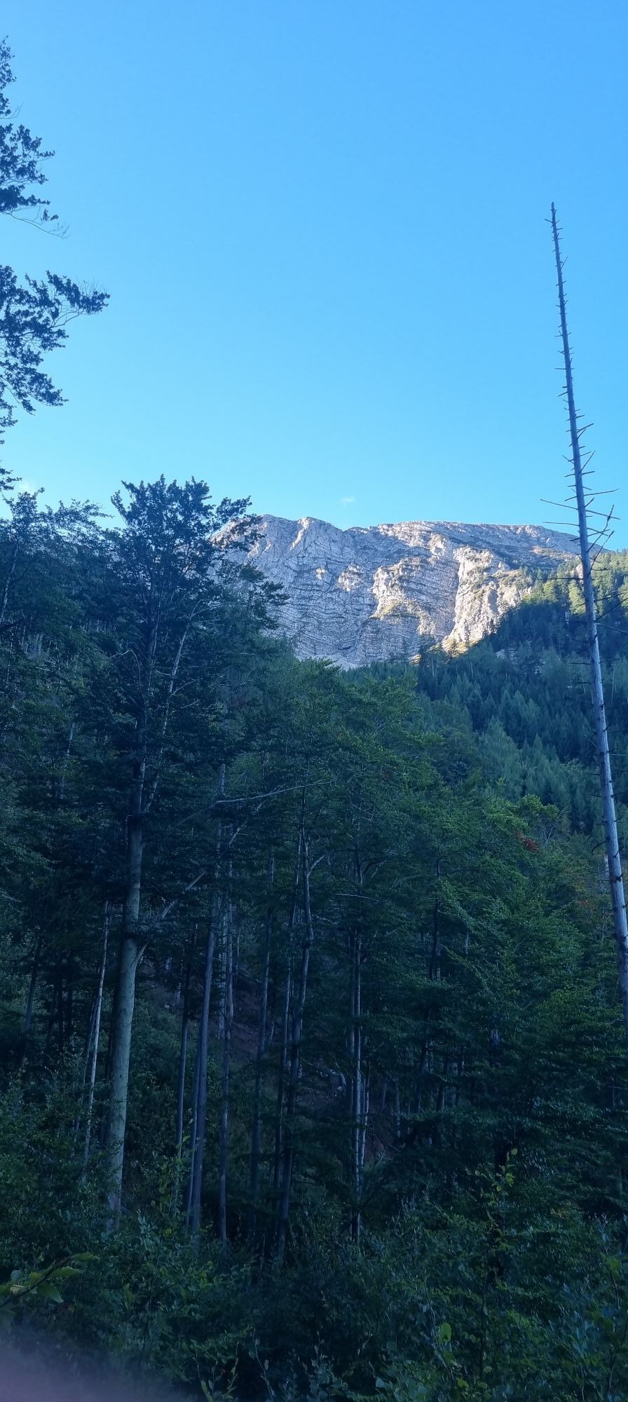
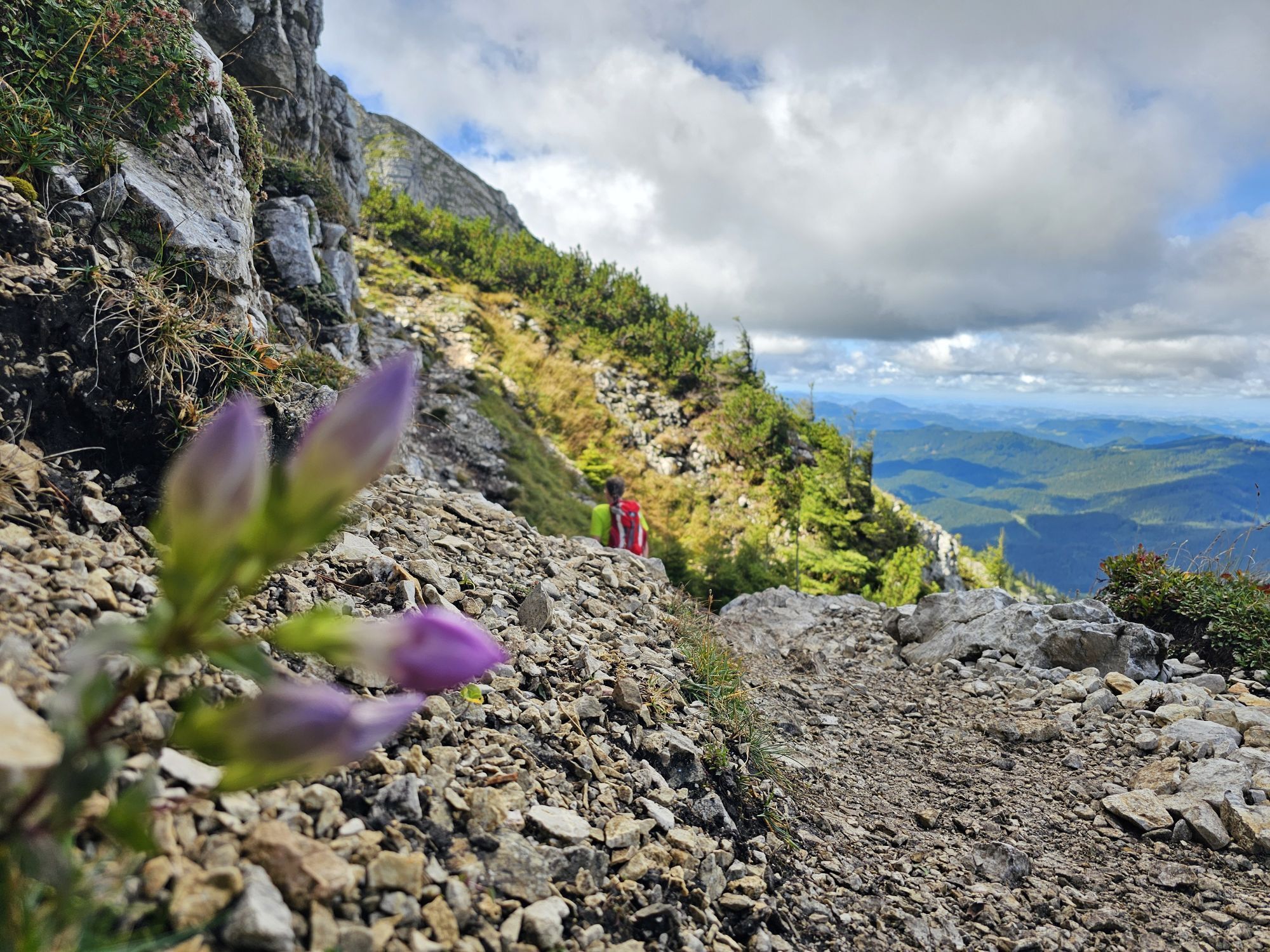
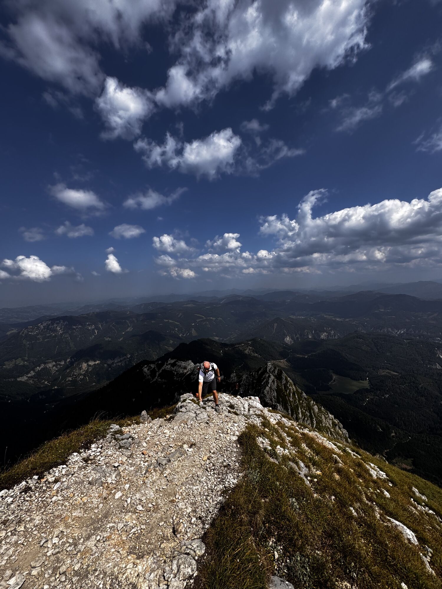
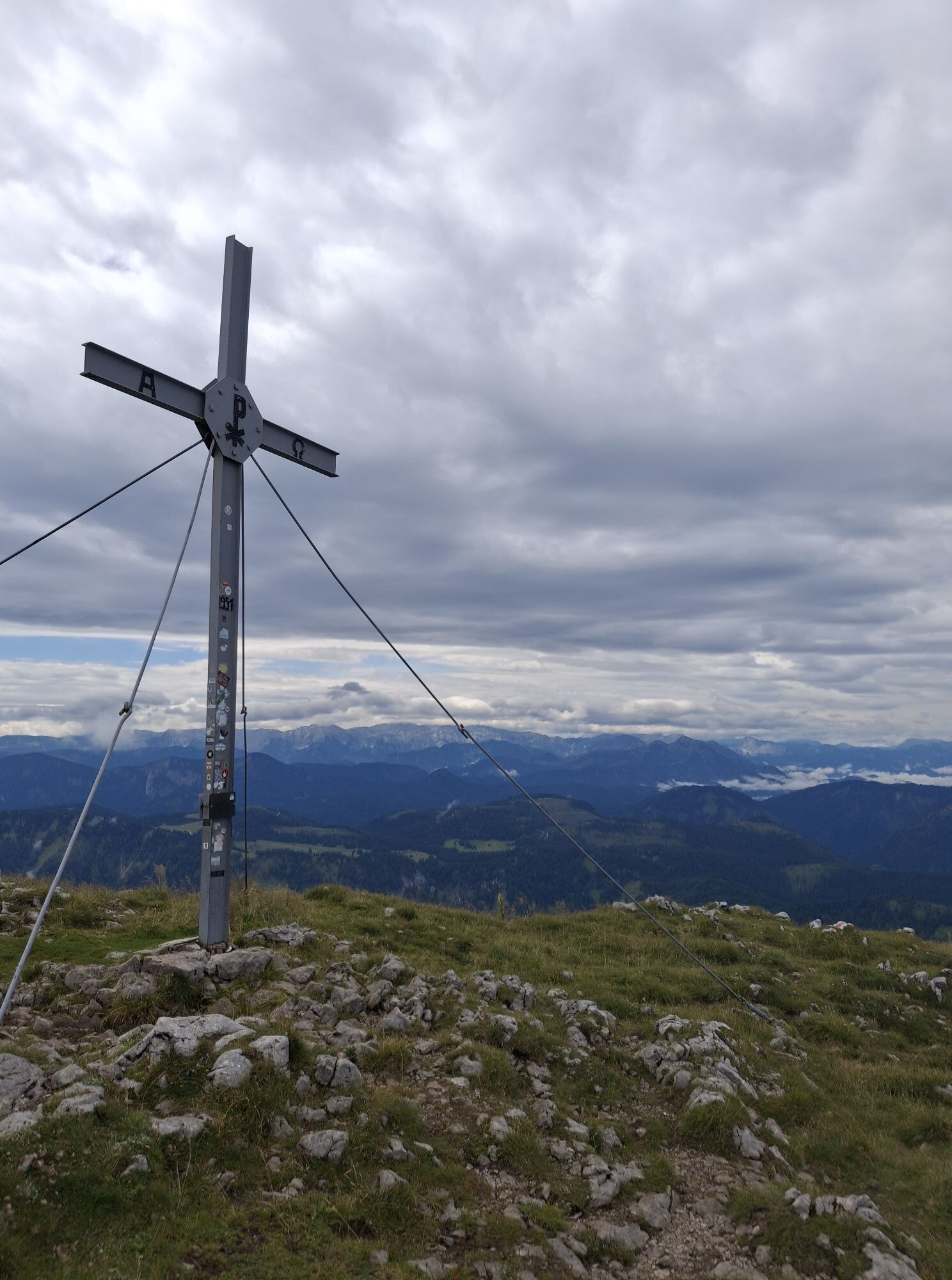
Am Ausstieg (1840m) die Skier wieder anschnallen und in westlicher Richtung über das Ötscherplateau bis zum Gipfel.
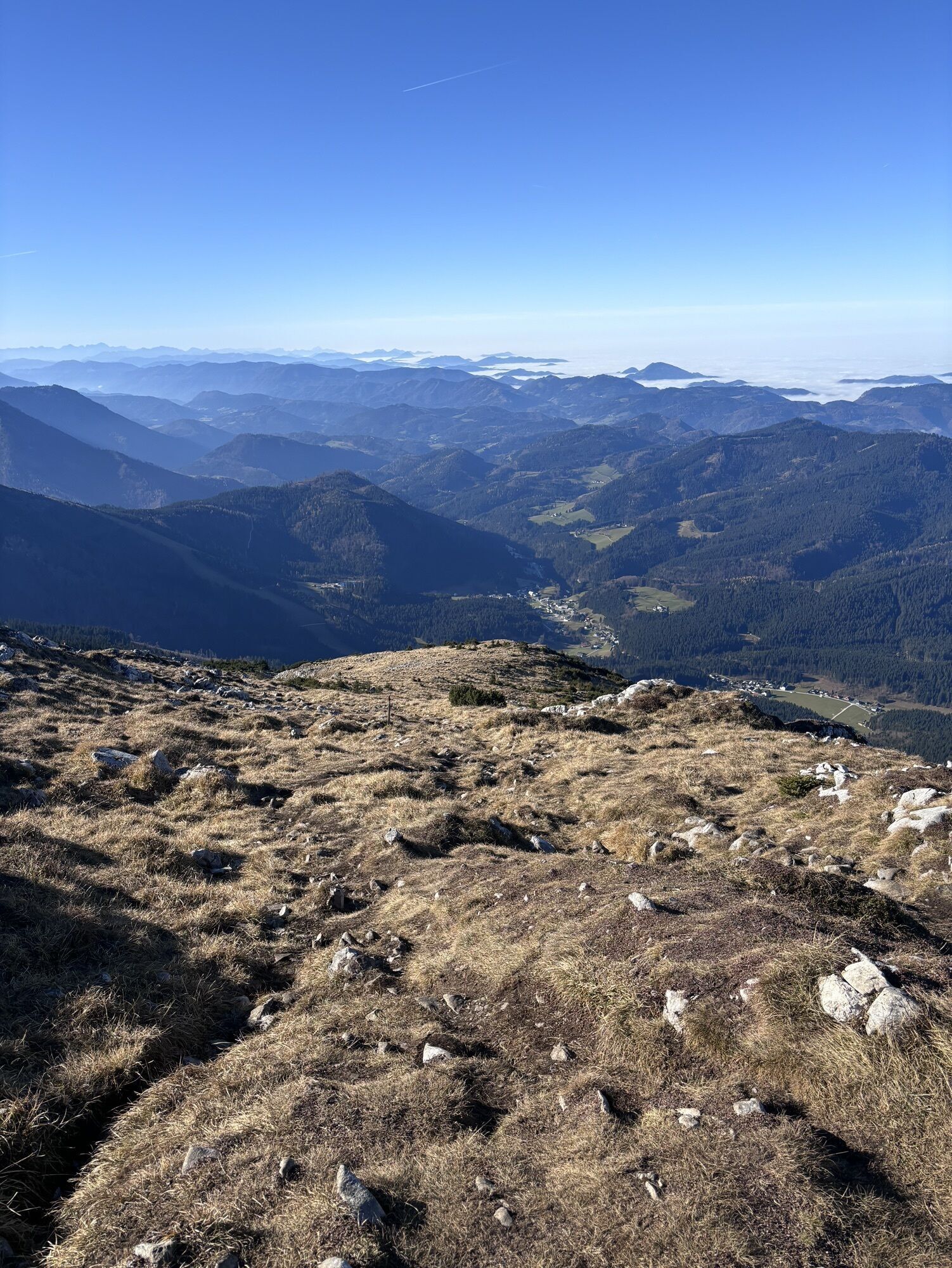
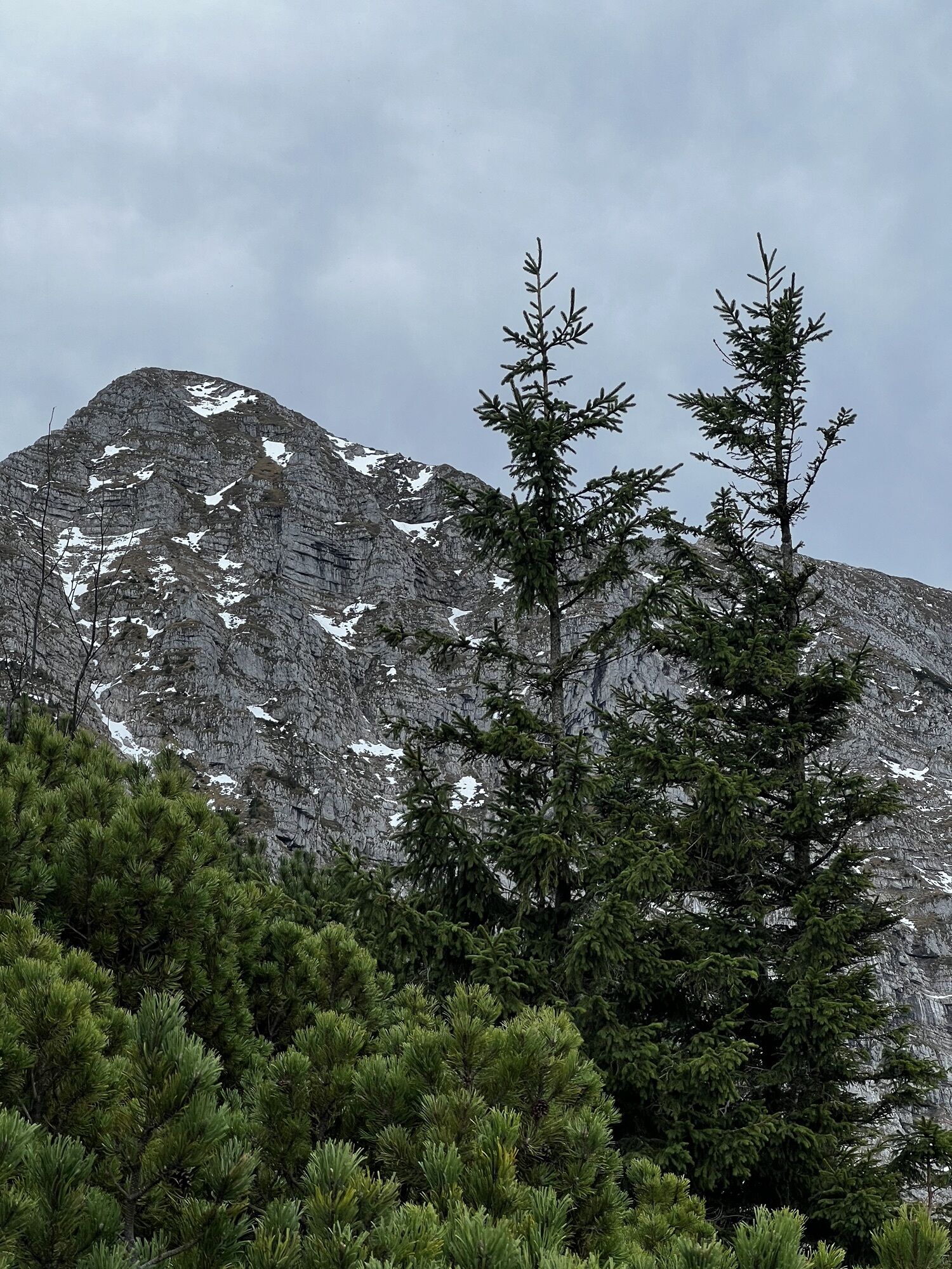
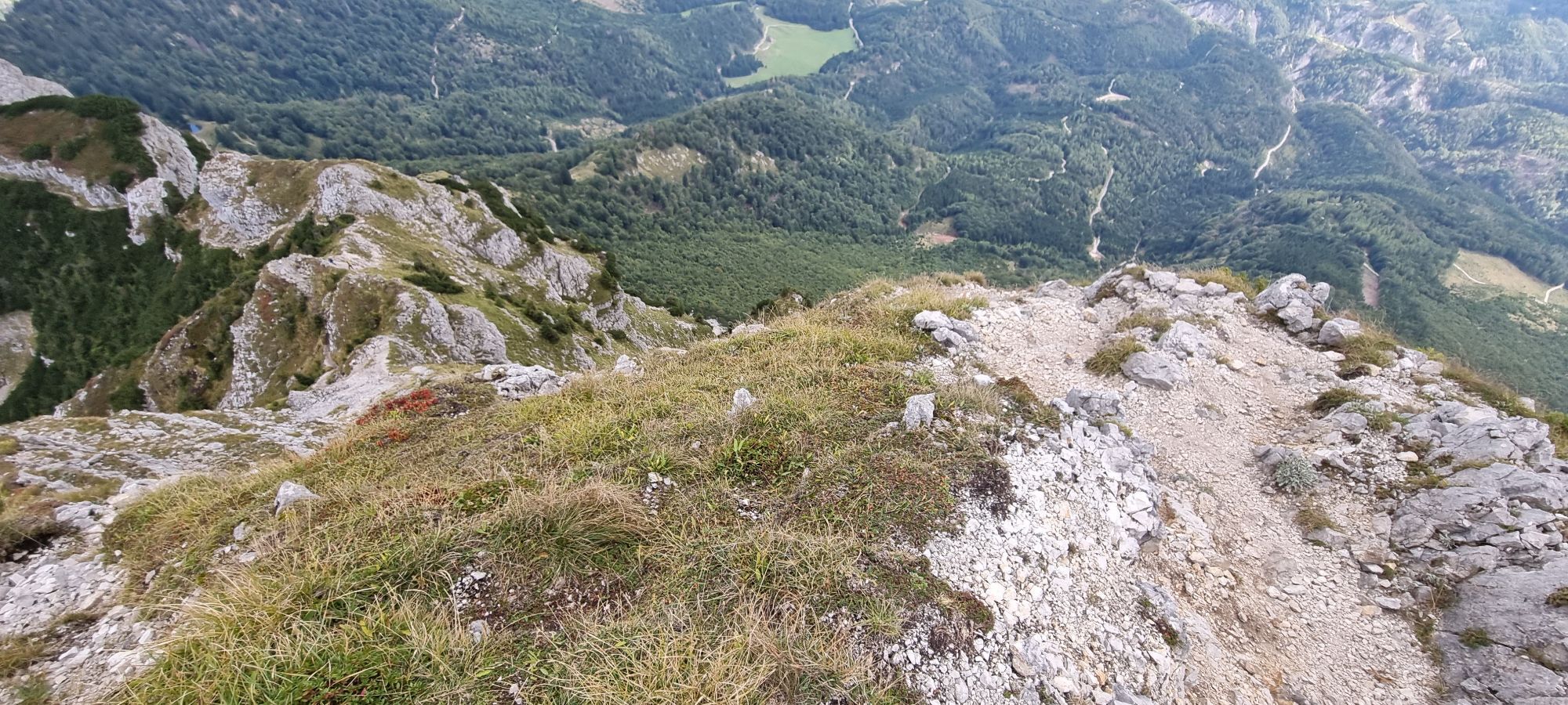
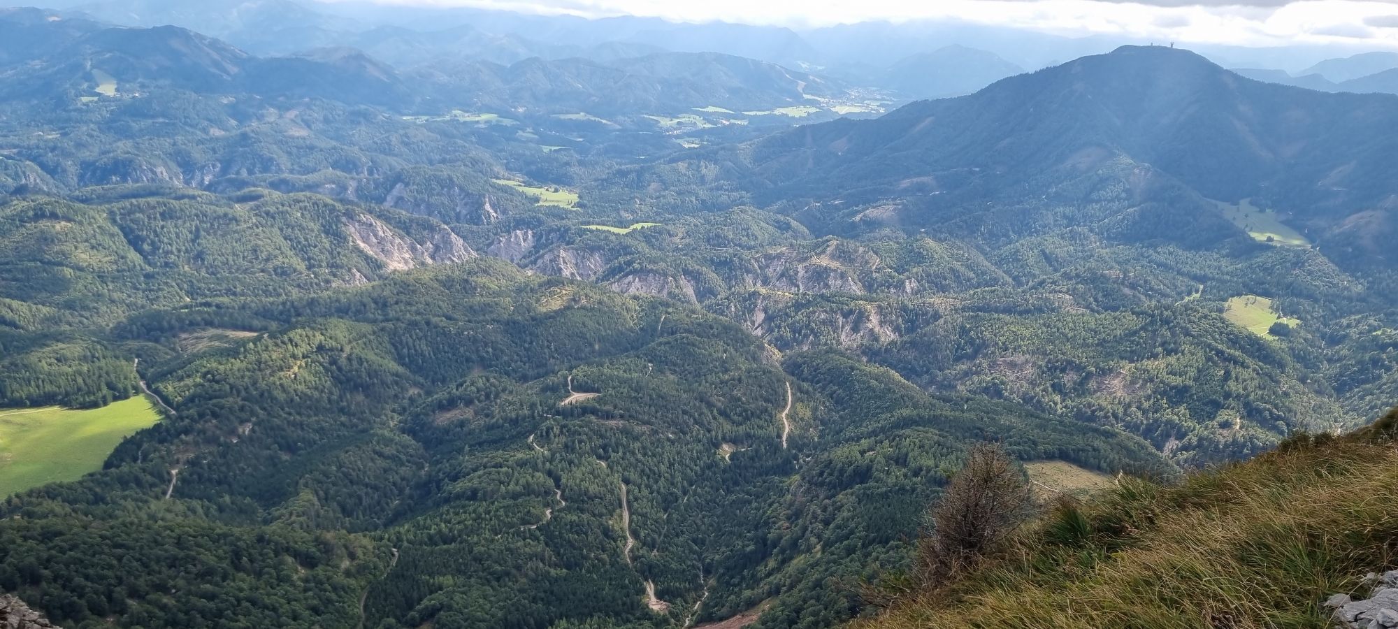
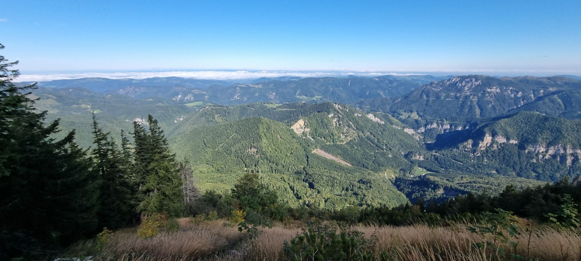
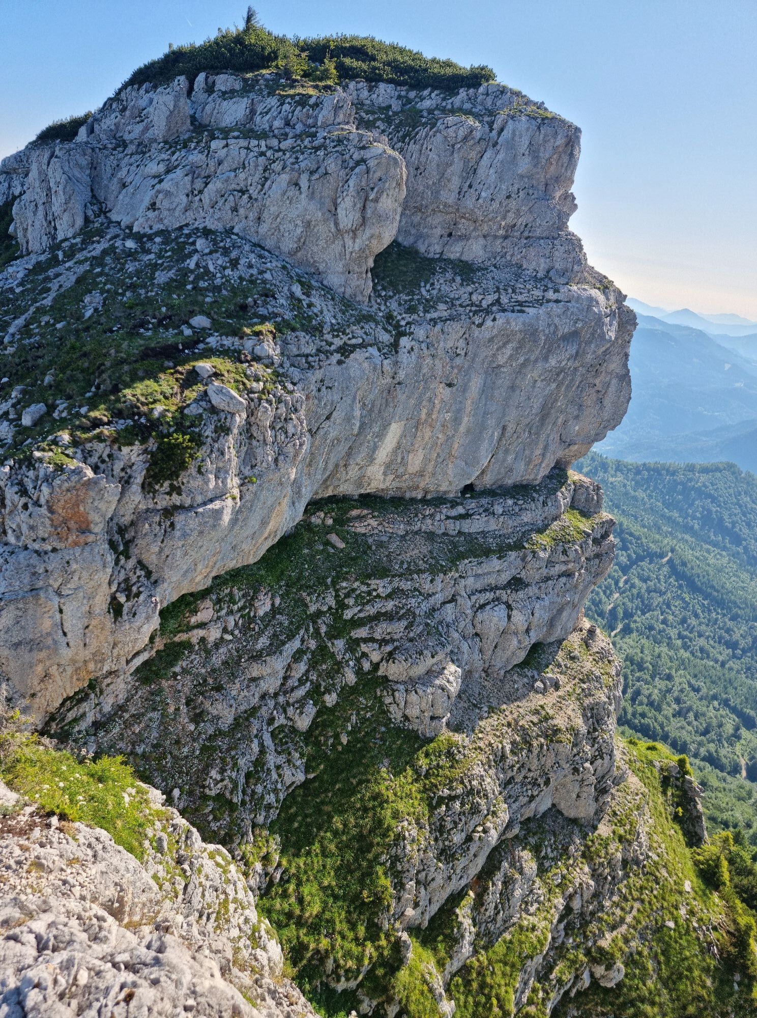
Vom Gipfel fährt man in nordwestlicher Richtung ab und bleibt dabei linkerhand eines schwach ausgeprägten Rückens. Auf ca. 1700m verengt sich die Fürstenplan und knickt nach weiteren 100hm nach Norden ab. Dem Rinnenverauf folgen. Im unteren Teil durch lichten Wald weiter bis Ötscherwiesen.


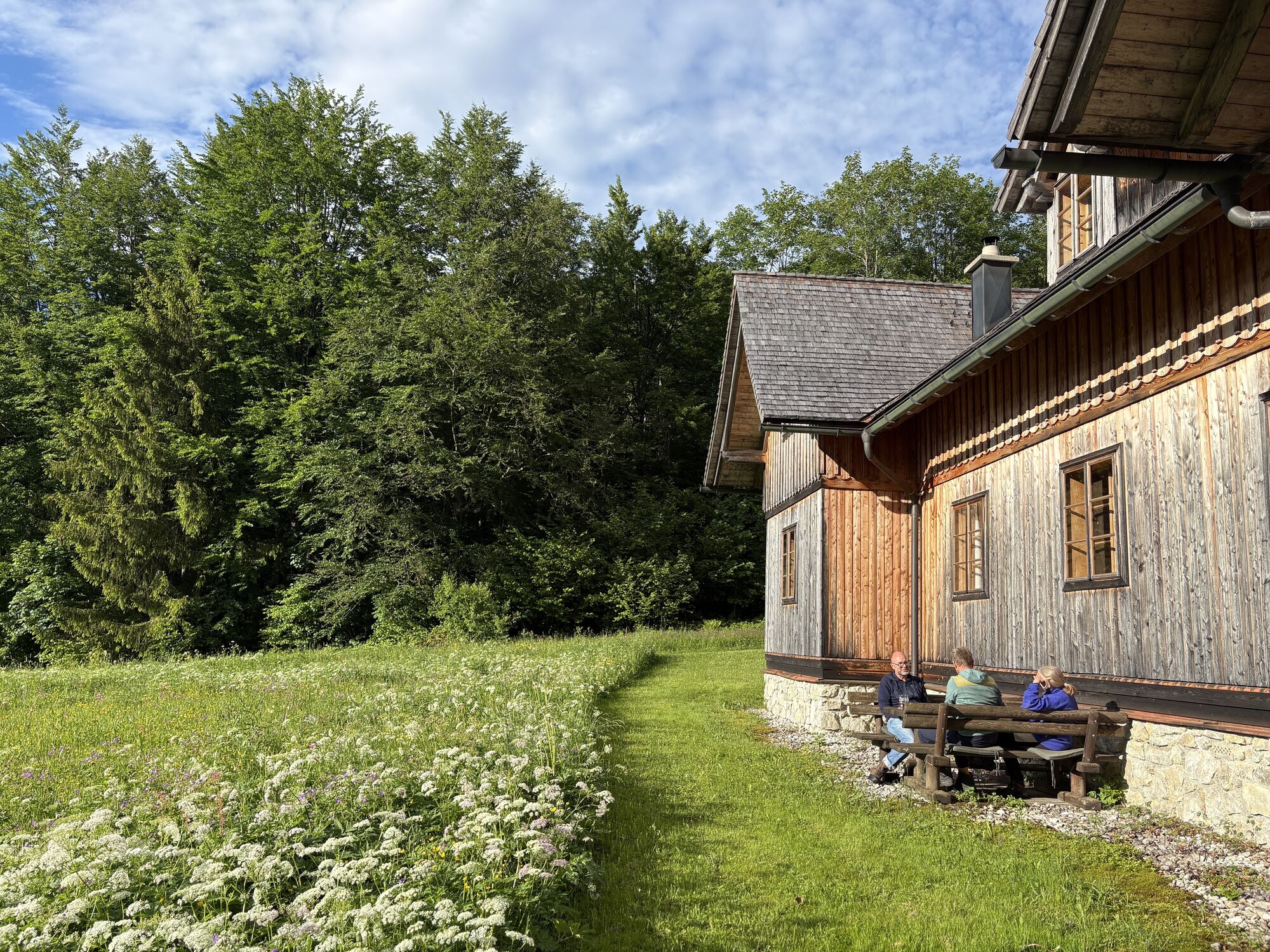
in Lackenhof
eventuell Steigeisen
Wieselburg-Scheibbs-Gaming-Lackenhof-Raneck
Raneck
Kamery internetowe z trasy
Popularne wycieczki w okolicy
- 4,4
Das 3 Seen-Erlebnis (Lunzer See - Mittersee - Obersee)
średniWędrówka 9,33 km - 4,3
Rund um den smaragdgrünen Lunzer See
światłoWędrówka 4,80 km - 4,8
Gemeindealpe
średniWędrówka 13,5 km - 5,0
Von Lackenhof auf den Ötscher
światłoWędrówka 5,29 km - 4,8
Panoramic summit Maiszinken - alpine experience included
średniWędrówka 12,6 km - 4,9
Lassingfall->Ötscherhias->Erlaufklause
średniWędrówka 8,72 km - 4,9
Lackenhof ÖTSCHER Rauer Kamm 19.10.2014
ciężkiWędrówka 14,1 km - 4,8
Naturpark Ötscher-Tormäuer Wienerbruck
światłoWędrówka 6,06 km - 4,7
Trefflingfall über Hochbärneckhütte
średniWędrówka 12,2 km - 4,7
Erlaufsee-Rundweg
światłoWędrówka 5,37 km
Wędrówki i tropienie


Nie przegap ofert i inspiracji na następne wakacje
Twój adres e-mail została dodana do listy mailingowej.