







Romantic circular route from Mitterbach around the Schafkogel

This circular hiking route is one of the insider tips in Mariazellerland. An easy hike with continuous signposting and fantastic views of the Ötscher!

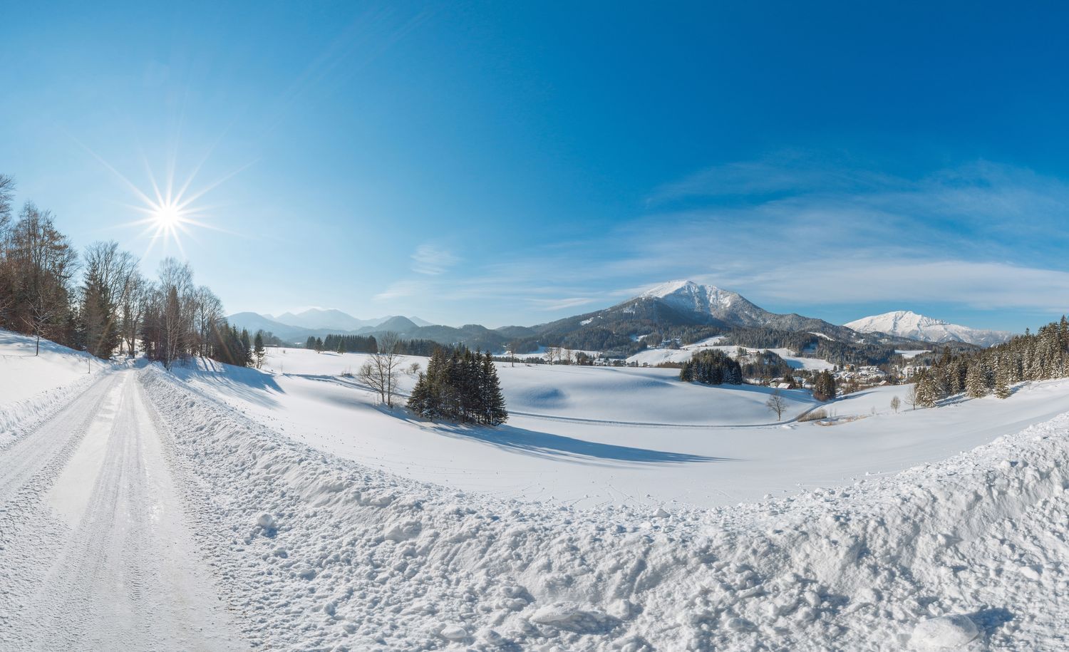
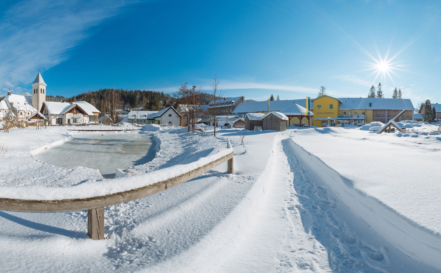

Starting from the center of Mitterbach, immediately after the GH Filzwieser, turn left up to the Göschlhof. Then via a forest path to the Kapellerwiese (information board about the Kapellergut). Continue right on a forest road towards Lurg and then down a forest path to the Lurgbauer (3-hat restaurant). Now continue on a narrow trail uphill to a large meadow. Following the signposts, you reach the Göschlhofweg and return to Mitterbach.
Good footwear, clothing appropriate to the weather.
The paths/roads are only partially cleared.
Mariazellerbahn, postbus
Village square Mitterbach
Just walk and enjoy! The route is also ideal for a snowshoe hike!
Kamery internetowe z trasy
-
Mariazeller Bürgeralpe - Berggasthof
-
Zuckerwiese
-
Gemeindealpe Mittelstation
-
Sternwarte
-
Mariazell
-
Gipfelbahn Bergstation
-
Gemeindealpe Mittelstation
-
Mittelstation Gemeindealpe
-
Gemeindealpe Talstation
-
Terzerhaus
-
Flugplatz St. Sebastian
-
Snowpark Gemeindealpe
-
Birkihang
-
Terzerhaus
-
Bürgeralpe - Kristallsee
-
Mariazeller Bürgeralpe - Berggasthof
-
Mariazell
-
Mariazell
-
Feldbauer Mariazell
-
Terzerhaus
-
Mittelstation
-
Mitterbach
-
Mariazell
-
Stapelhaus
-
Terzerhaus
-
Mariazell - Chalets Monte Styria
-
Hauptplatz
-
Basilika Mariazell
-
Flugplatz St. Sebastian
-
Zellerhüte - Mariazell
-
Talstation

Aktywności na trasie
-

Runwanderweg Lurgbauer, Mariazellerland
18.07.2026 – Wędrówka -

Mitterbach-Seerotte, Niederösterreich/Österreich
09.06.2026 – Wędrówka -

Mitterbach-Seerotte, Steiermark/Österreich
11.05.2026 – Wędrówka -
Mitterbach-Seerotte, Steiermark/Österreich
03.05.2026 – Wędrówka -
Mariazell, Steiermark/Österreich
17.01.2026 – Wędrówka
Popularne wycieczki w okolicy
-
4,7
Gemeindealpe
średniWędrówka 13,5 km -
5,0
Von Lackenhof auf den Ötscher
światłoWędrówka 5,29 km -
4,9
Spielmäuer, Felix´ Himmelsleiter Klettersteig D Mariazell, Österreich
średniVia ferrata 5,79 km -
4,9
Lassingfall - Ötscherhias - Erlaufklause
średniWędrówka 8,20 km -
4,9
Lackenhof ÖTSCHER Rauer Kamm 19.10.2014
ciężkiWędrówka 14,1 km -
4,8
Naturpark Ötscher-Tormäuer Wienerbruck
światłoWędrówka 6,06 km -
4,8
Trefflingfall über Hochbärneckhütte
średniWędrówka 12,2 km -
4,7
Erlaufsee-Rundweg
światłoWędrówka 5,37 km -
4,6
Ötschergräben Runde über Wienerbruck, Josefsberg und Erlaufsee
światłoWędrówka 16,8 km -
4,5
Tour auf den Göller
światłoWycieczki górskie 9,32 km
Wędrówki i tropienie


Nie przegap ofert i inspiracji na następne wakacje
Twój adres e-mail została dodana do listy mailingowej.





