






Road Bike Route Fortified Church Road in the Vienna Alps


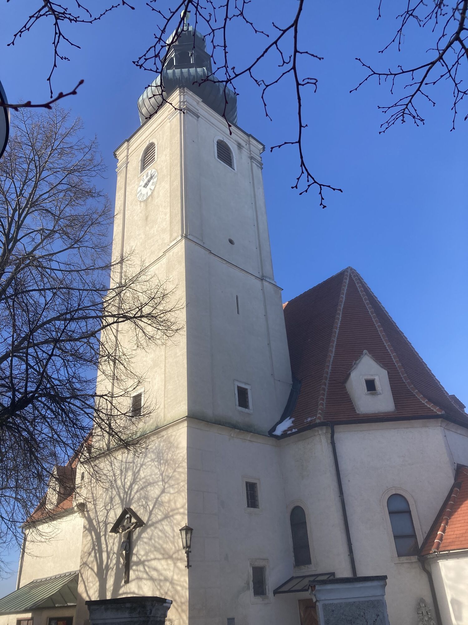
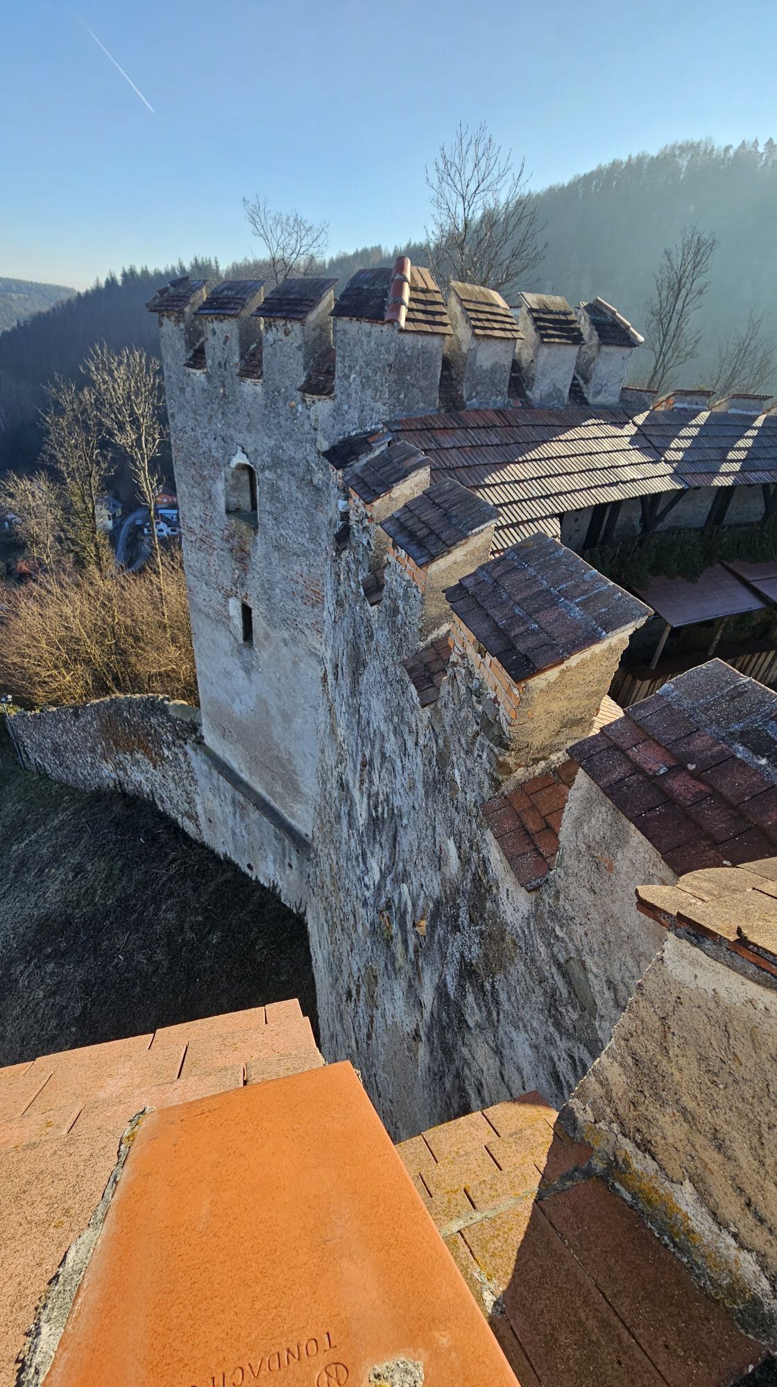
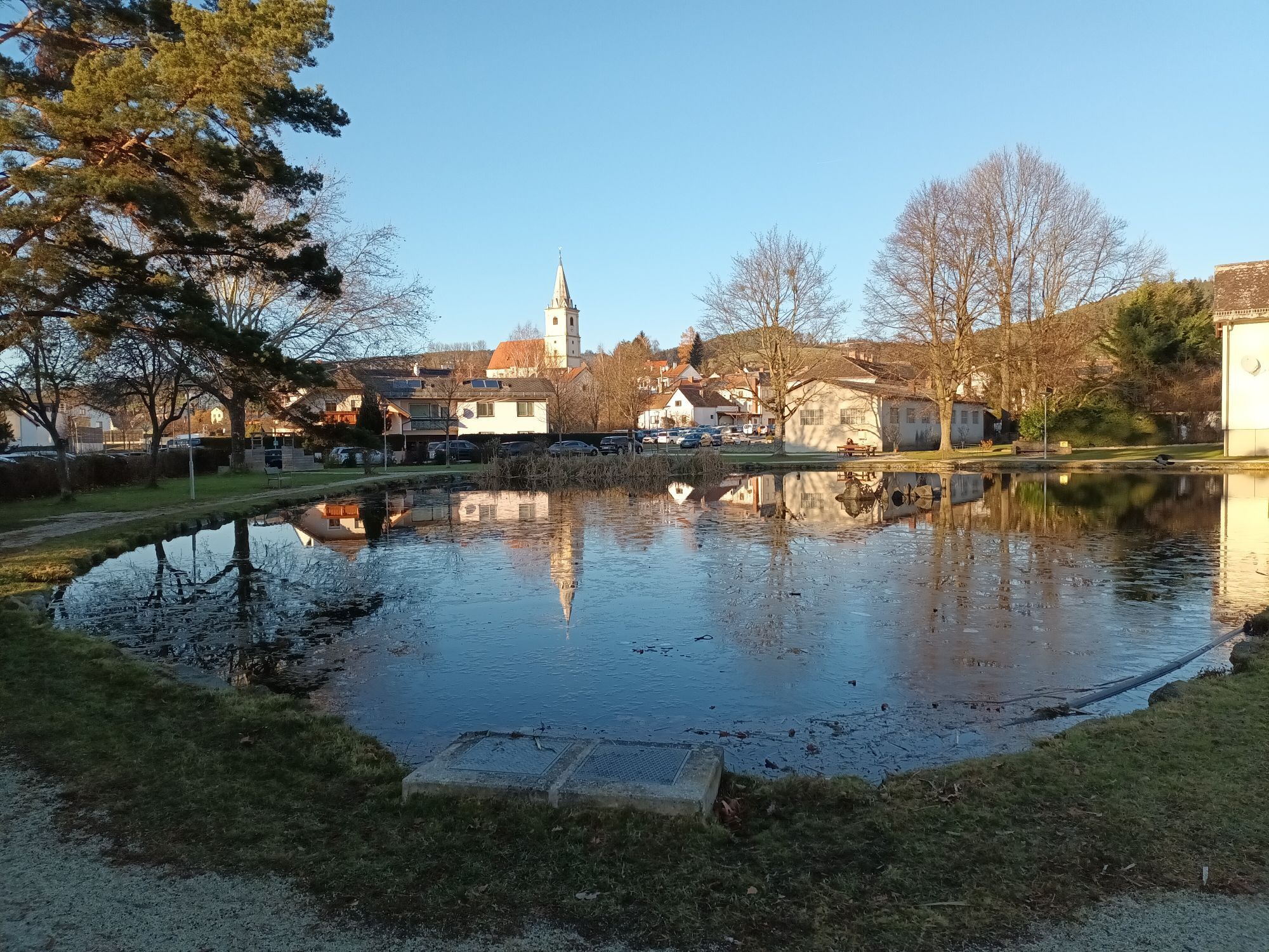
They were places of worship - and thanks to battlements, pitch noses and embrasures, they were also places of refuge and defense in times of war. Today, the fortified churches of the Bucklige Welt are...
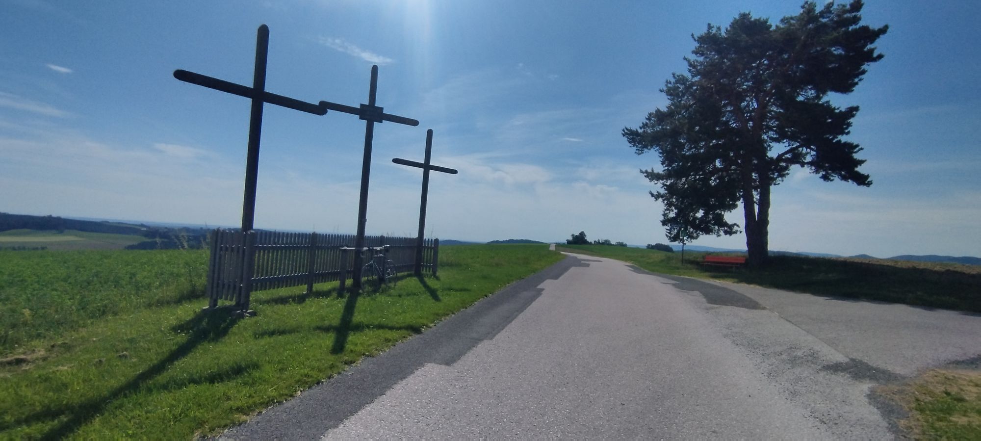
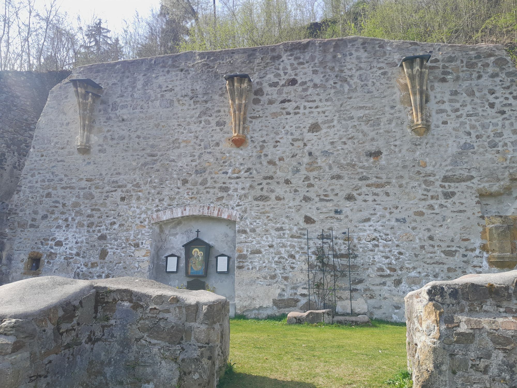
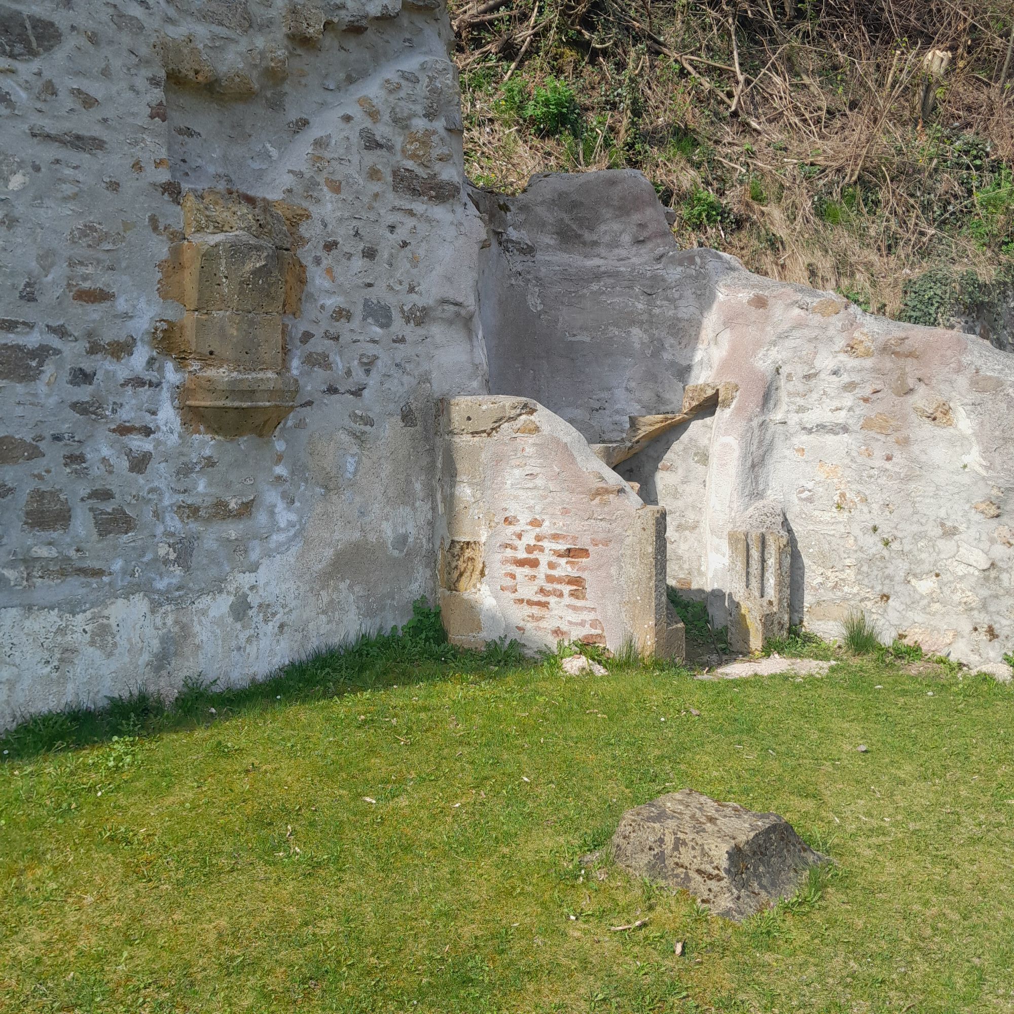
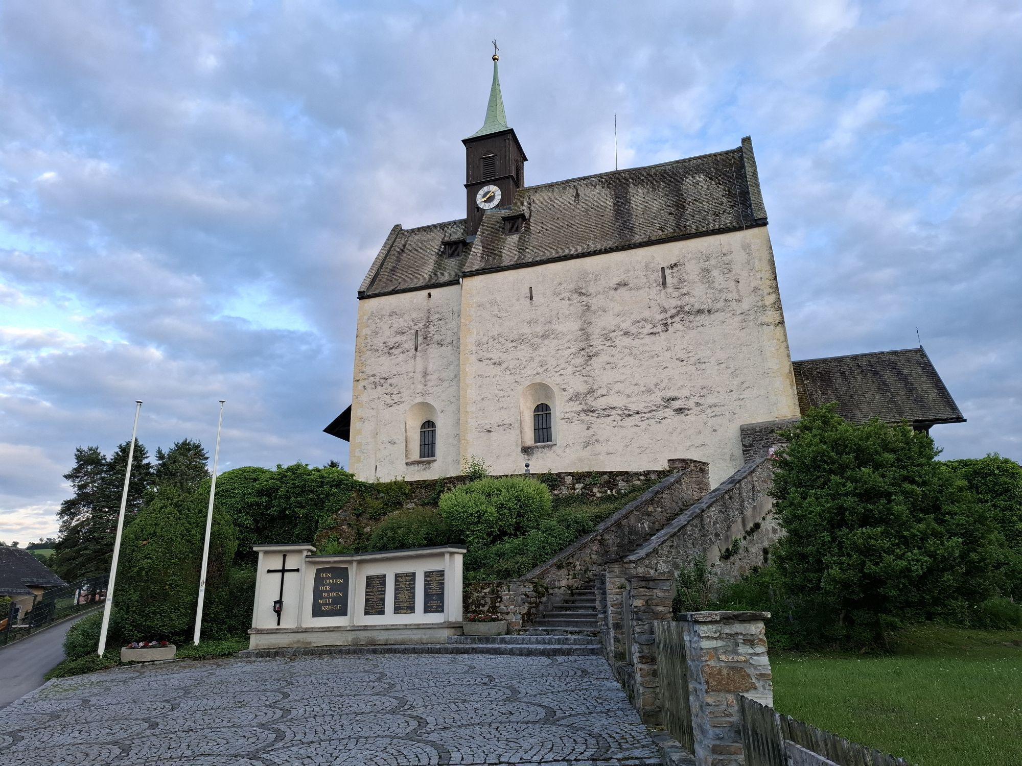
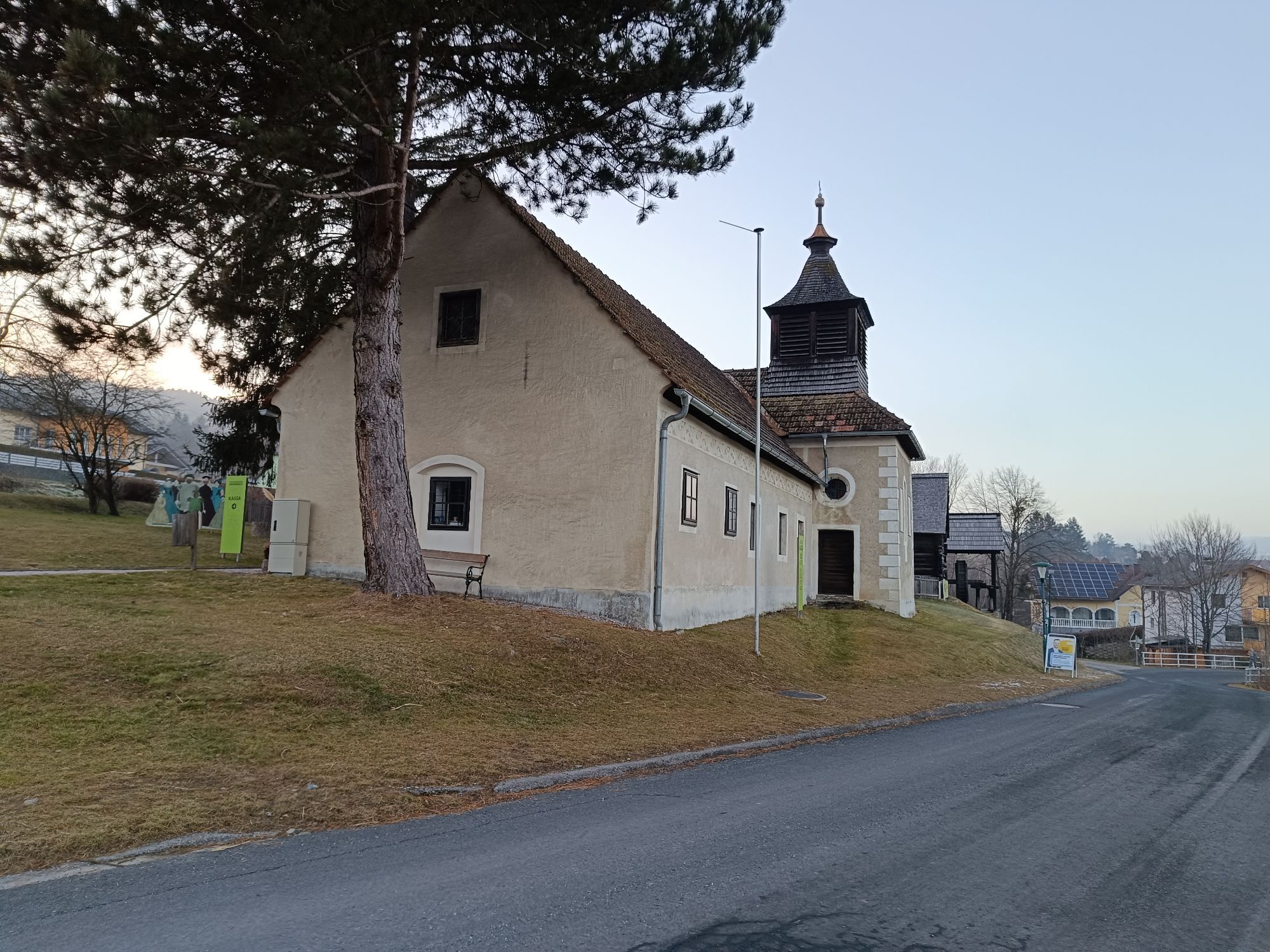
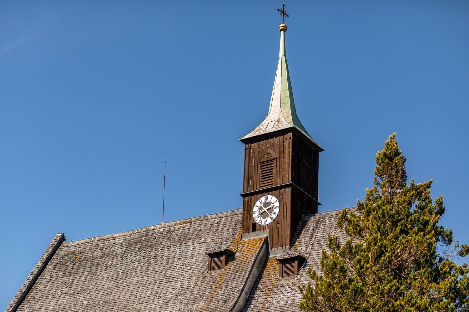
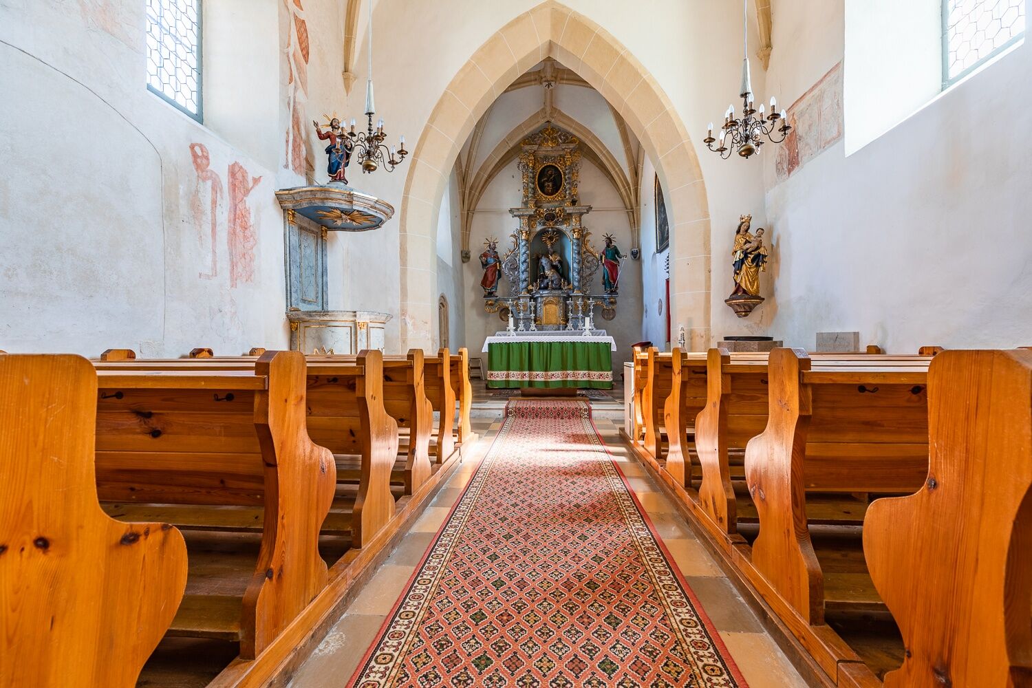
They were places of worship - and thanks to battlements, pitch noses and embrasures, they were also places of refuge and defense in times of war. Today, the fortified churches of the Bucklige Welt are silent witnesses to the course of history and turn an entire region into a historical open-air museum.
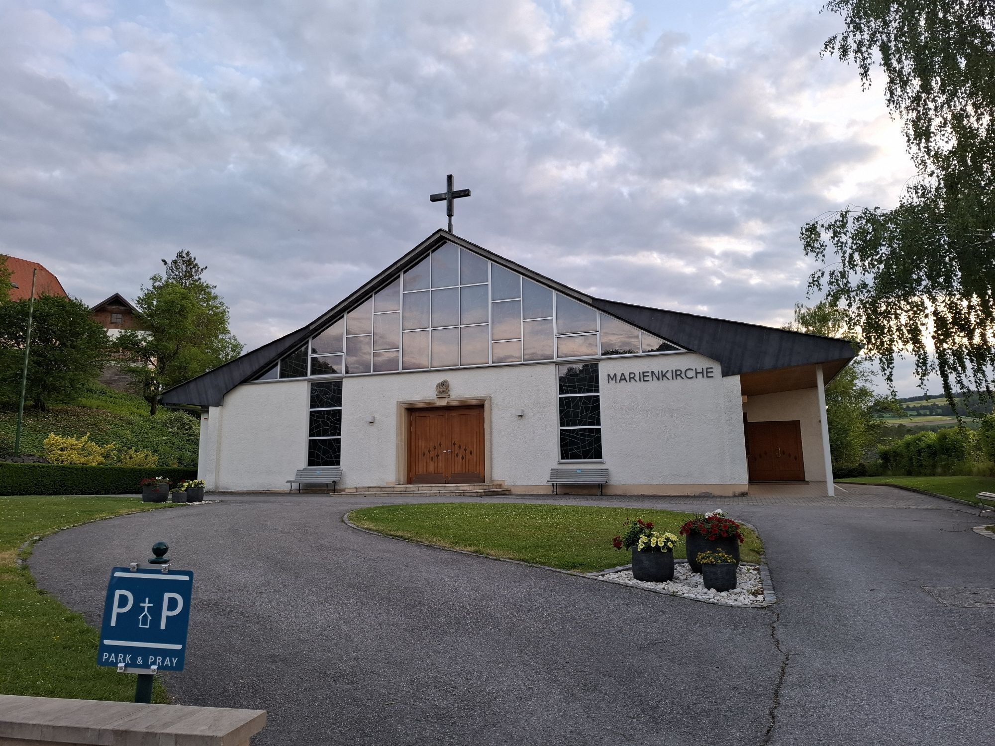
The fortified churches of the Bucklige Welt are located in 13 different places along an approximately 123 km long route from Edlitz to Katzelsdorf. In Bad Schönau, where a massive sacristy door with traces of axe blows bears witness to the defensive function of the fortified church. Or in Lichtenegg: here the fortified church with its secret mezzanine and the oven in the church tower is almost completely preserved. There is an explanatory plaque at each fortified church.
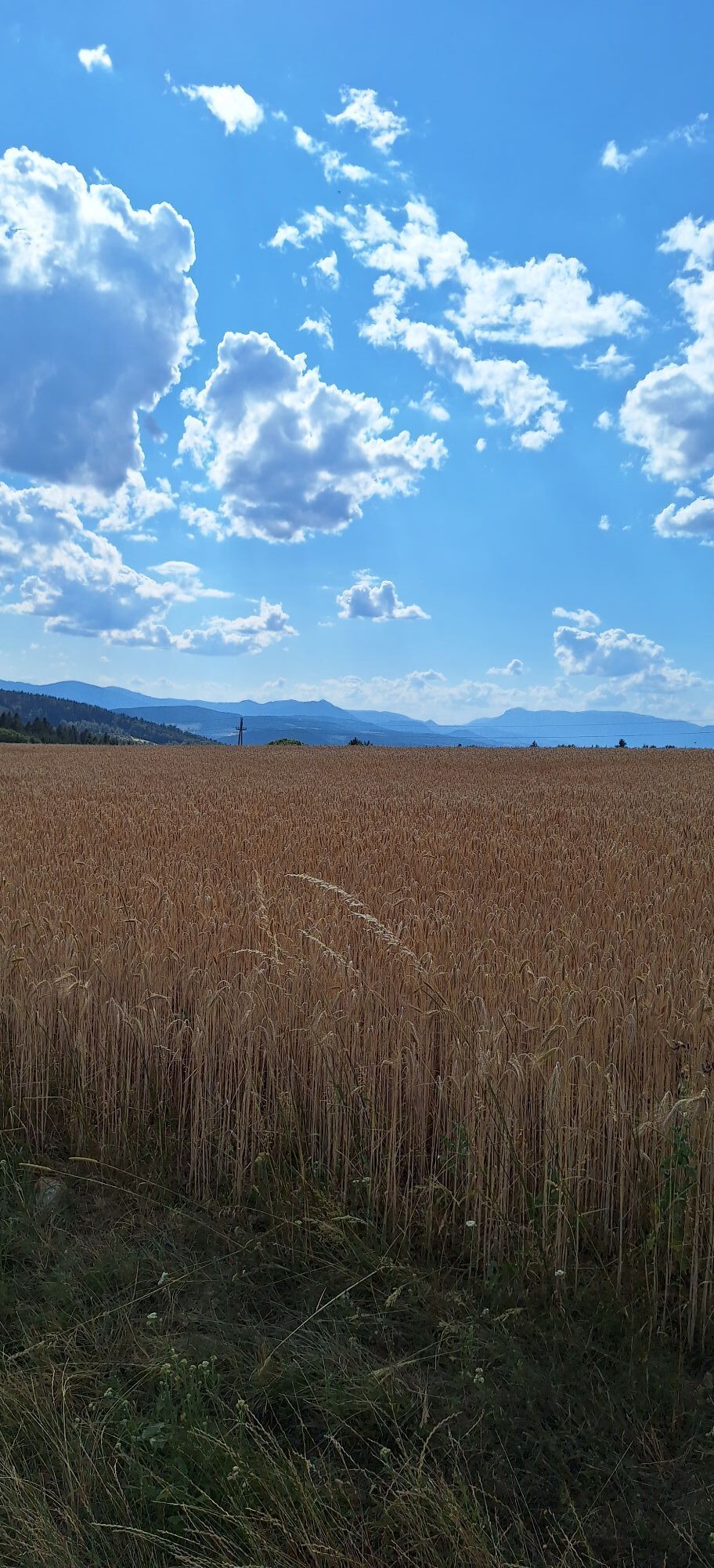
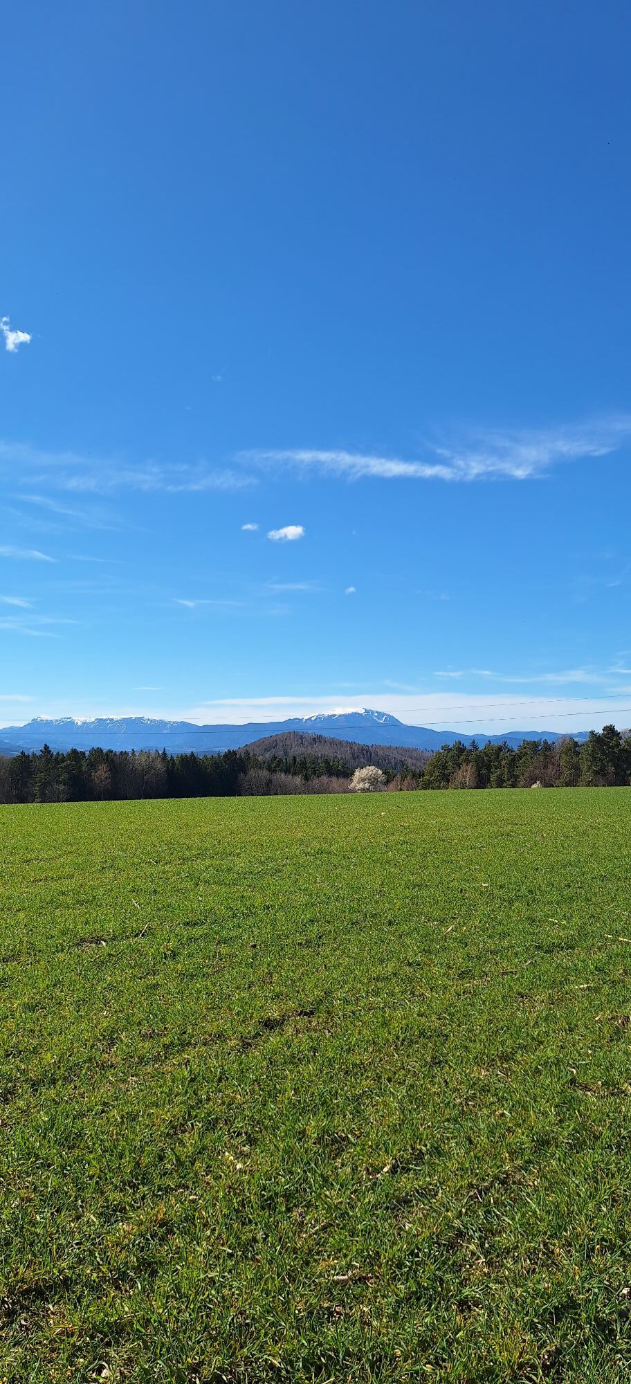
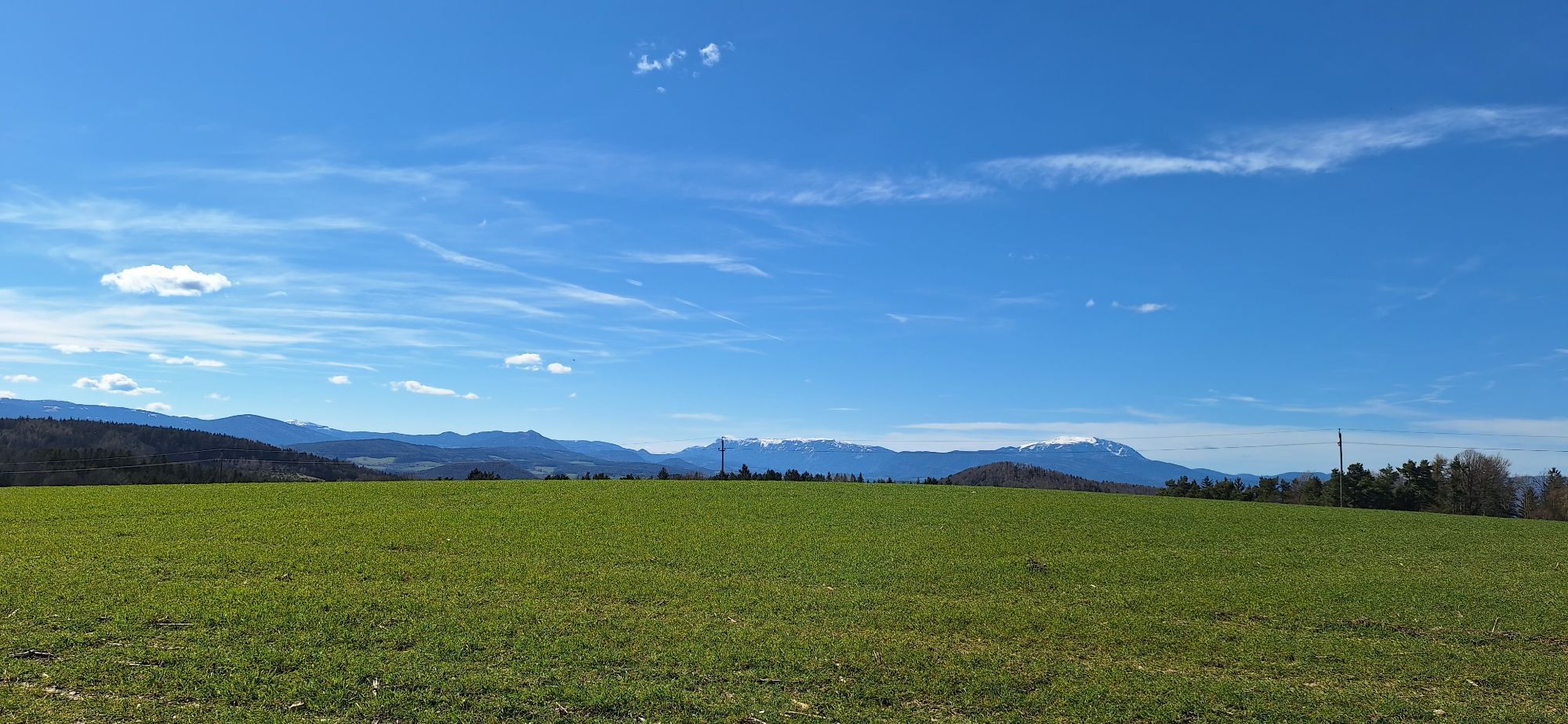
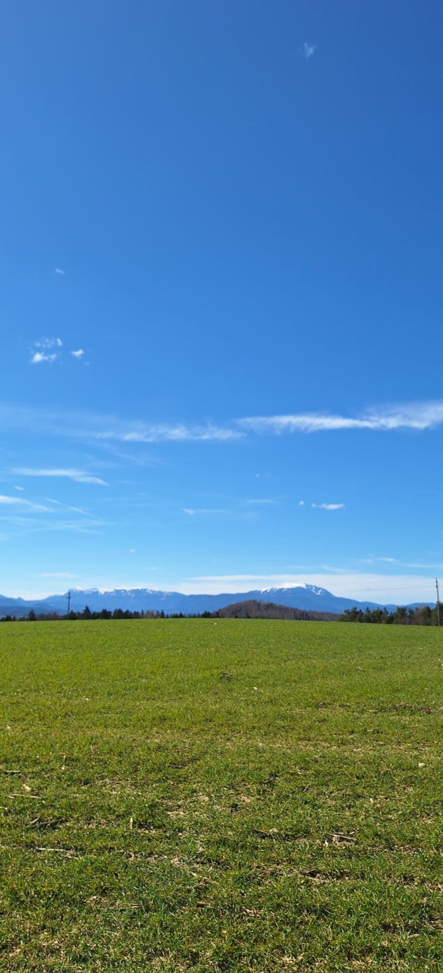
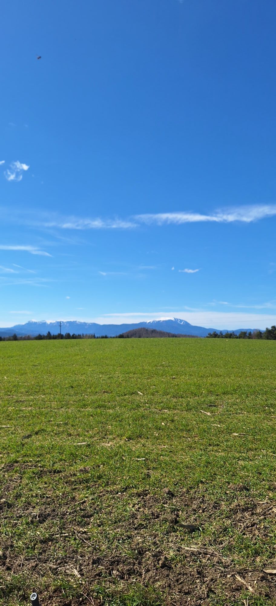
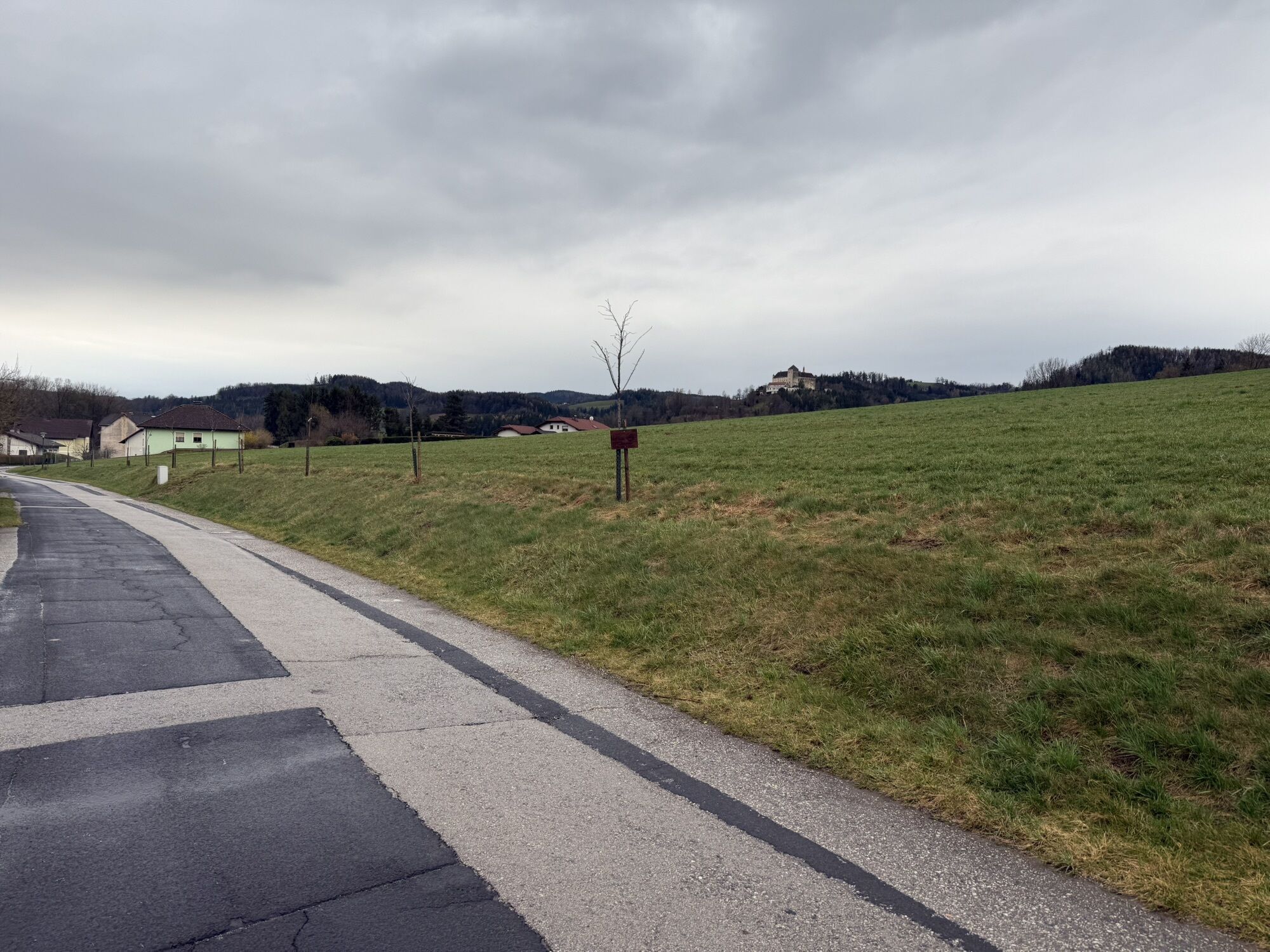
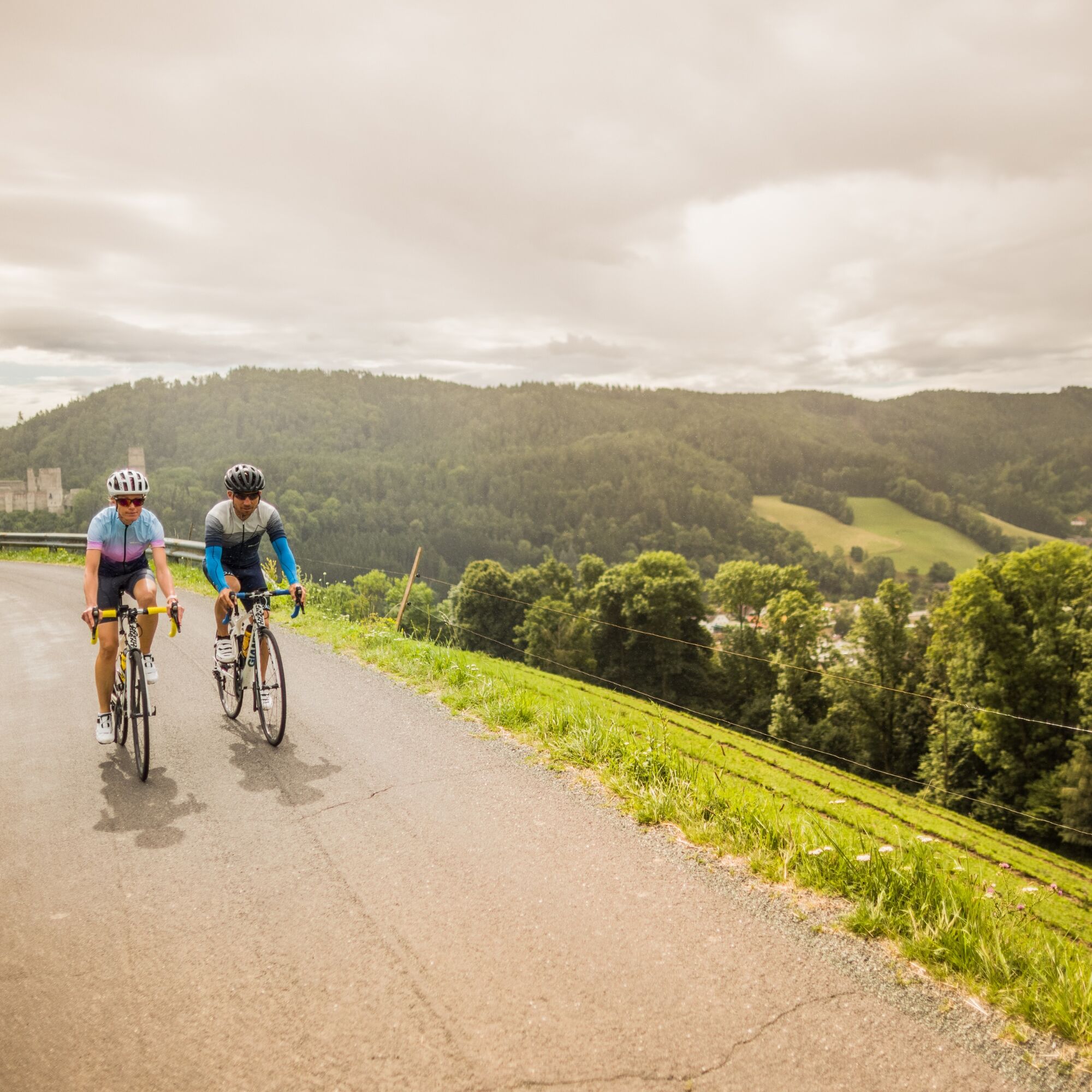
Road cyclists describe the Bucklige Welt as one of the best, least congested, most enjoyable and most varied road cycling areas in the German-speaking world. The 1000 hills of the Bucklige Welt offer 1000 possibilities for a successful road bike vacation, because here you don't just ride on flat terrain. The hilly ride rewards you with fantastic views.

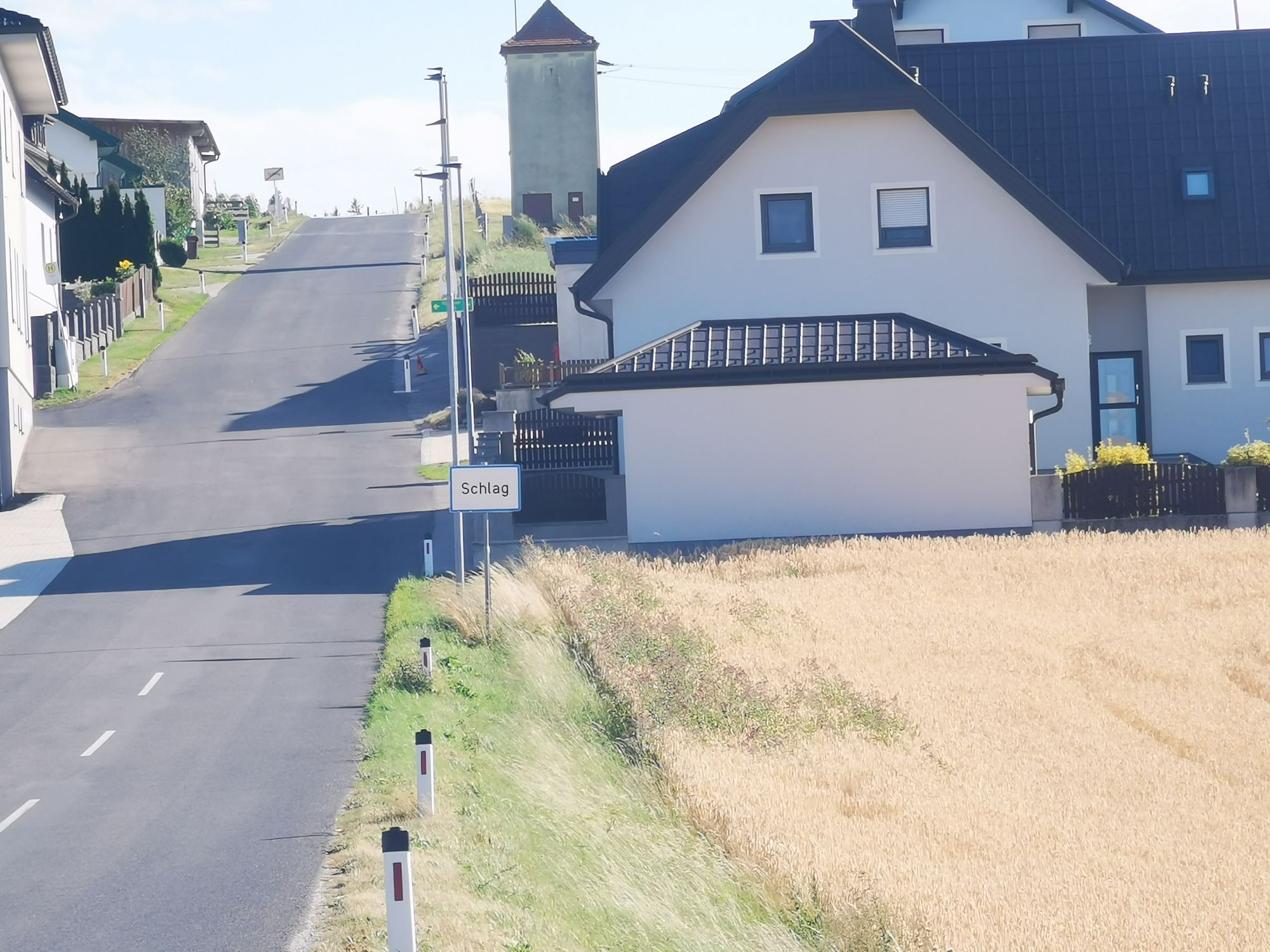
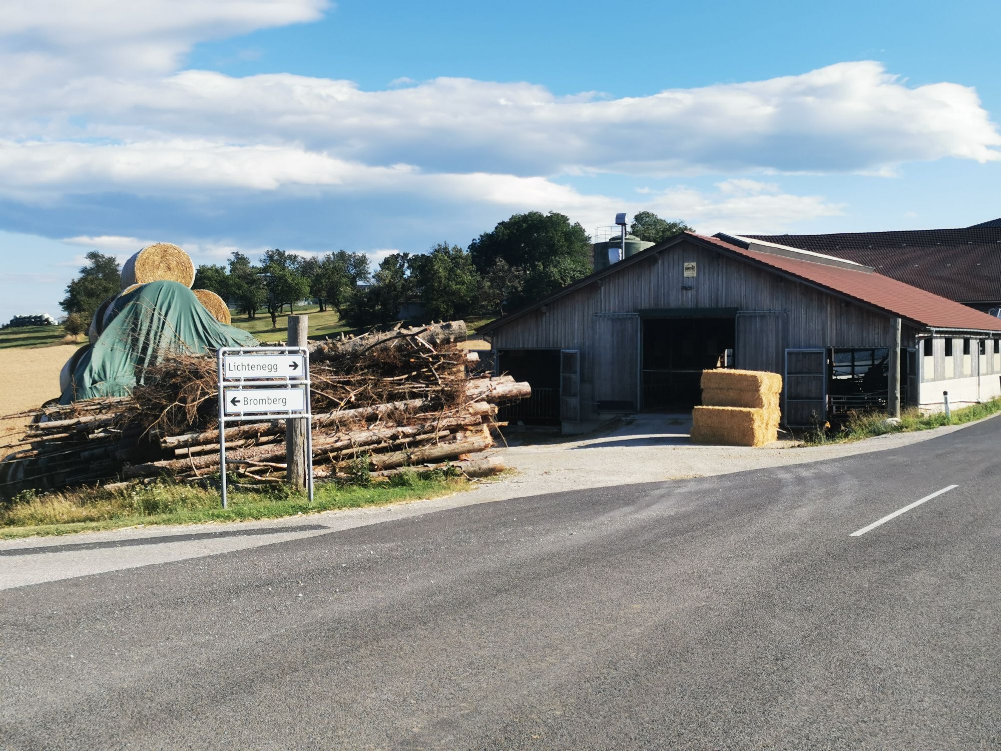
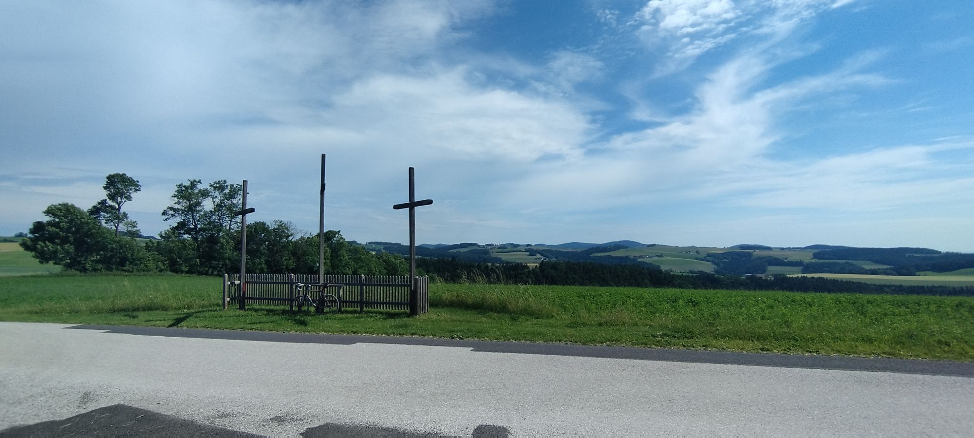
We start in front of the church in Bad Schönau. After 400 m, we turn left toward Krumbach. At the "White Cross" we turn right. We continue on L 145 through Amlos. At kilometer 17.6, we keep left toward Lichtenegg. At Schlag we turn right. We follow the road and continue via Linden toward Schlatten/Bromberg. We turn right toward Schlatten/Wiesmath or left for a stop in Bromberg. In Wiesmath, we turn right, continuing through the town. After 800 m, in a right curve, we turn left toward Landsee. Over the Perkerriegel past the summer houses. We turn right toward Neumühle. In Neumühle, we turn left onto L 149. We follow the road and go straight toward Blumau. From Blumau we continue to Stang. There we follow the road left. We turn right onto a road leading into the forest. We follow this to Kirchschlag. At the entrance to Kirchschlag, we follow the priority road to the left. We turn right onto B 55 toward Grimmenstein/Wiener Neustadt. We turn left to Bad Schönau and return to the start of the route at the church in Bad Schönau.
It is about 100 kilometers from both Vienna and Graz to Bad Schönau. Take the A2 to the Krumbach exit. From there it is 9 kilometers.
From Wr. Neustadt train station, bus line 7860 operated by Blaguss Bus runs to Bad Schönau.
More information at: www.oebb.at and anachb.vor.at.
Parking is available at the church.
More info:
Vienna Alps in Lower Austria, www.wieneralpen.at, Tel.: +43 2622 78960
Tourism Office Bad Schönau, www.badschoenau.at, Tel.: +43 2646 8284
Uzyskaj wgląd
Zawsze na żywo z ponad 9 500 kamer internetowych. bergfex Jako użytkownik Pro, możesz teraz zobaczyć odpowiednie kamery internetowe dla wielu wycieczek w aplikacji wycieczki od. Pozwala to na bezpośredni podgląd aktualnych warunków.
Popularne wycieczki w okolicy
-
4,5
Bucklige Welt: Auf dem Pittentaler Klettersteig zum Türkensturz
średniVia ferrata 1,96 km -
5,0
Seebenstein - Türkensturz - Burg Seebenstein
światłoWędrówka 7,50 km -
4,3
Türkensturz Rundwanderung
średniWędrówka 2,56 km -
4,7
Naturlehrpfad Katzelsdorf
światłoWędrówka 3,81 km -
4,0
Bucklige Welt: Burg Grimmenstein und Kulmriegel
światłoWędrówka 10,5 km -
4,5
To the Wiesen/Lanzenkirchen observation tower from the Rosalia
światłoWędrówka 4,25 km -
4,2
Türkensturz große runde
średniWędrówka 11,4 km -
4,6
Gespitzter Riegel - Bad Sauerbrunn
światłoWędrówka 8,85 km -
4,6
Forchtenstein-Rosalienkapelle
światłoWędrówka 7,86 km -
4,9
Türkensturz
światłoWędrówka 6,31 km
Wędrówki i tropienie


Nie przegap ofert i inspiracji na następne wakacje
Twój adres e-mail została dodana do listy mailingowej.





