




Rennradtour - Bucklige Welt trifft Wechselland


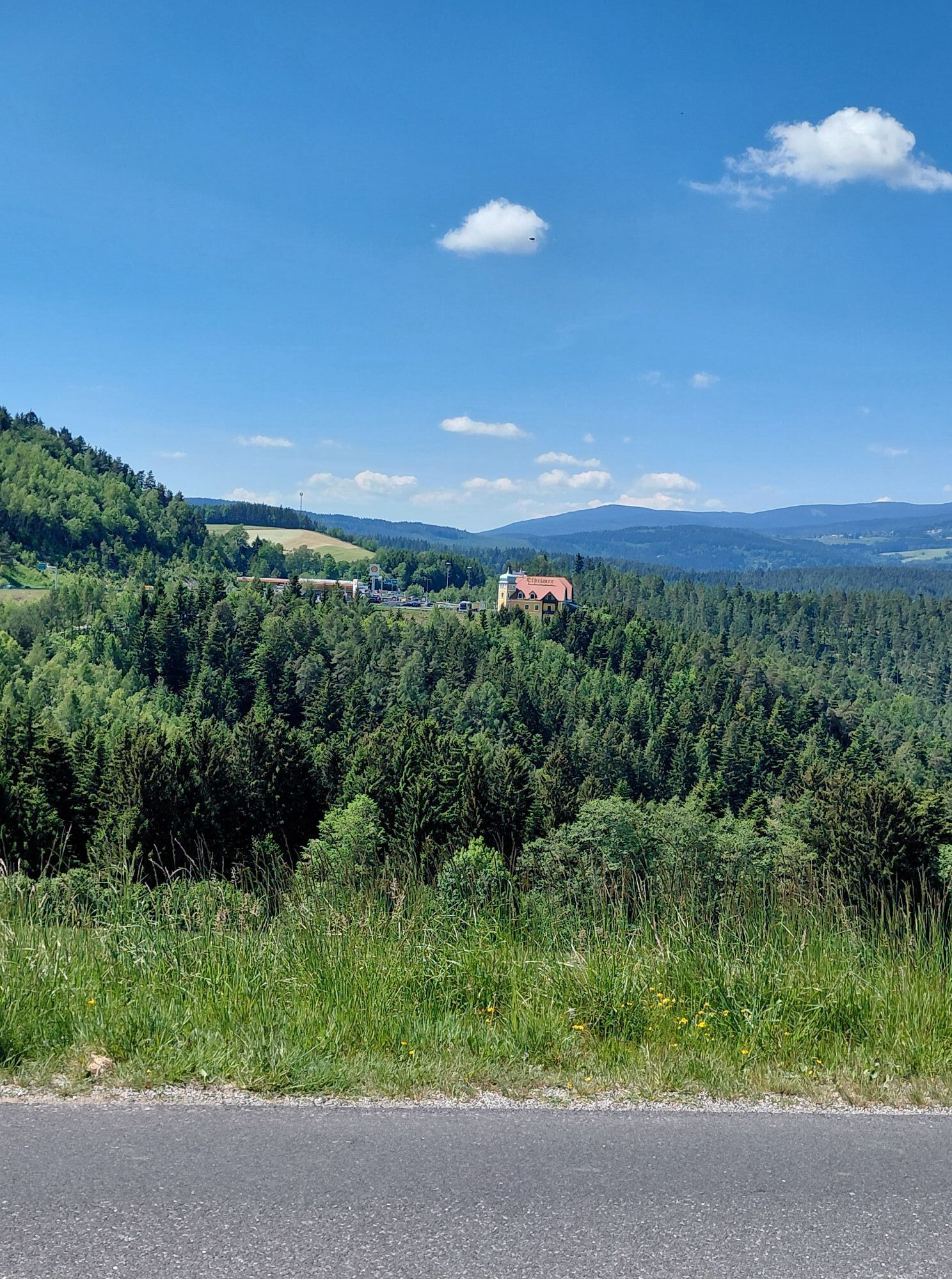
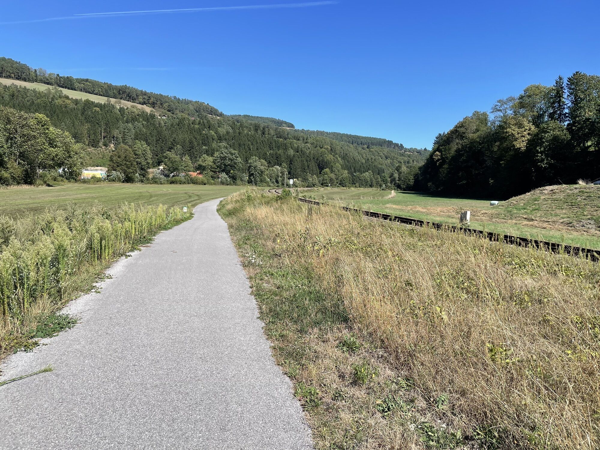
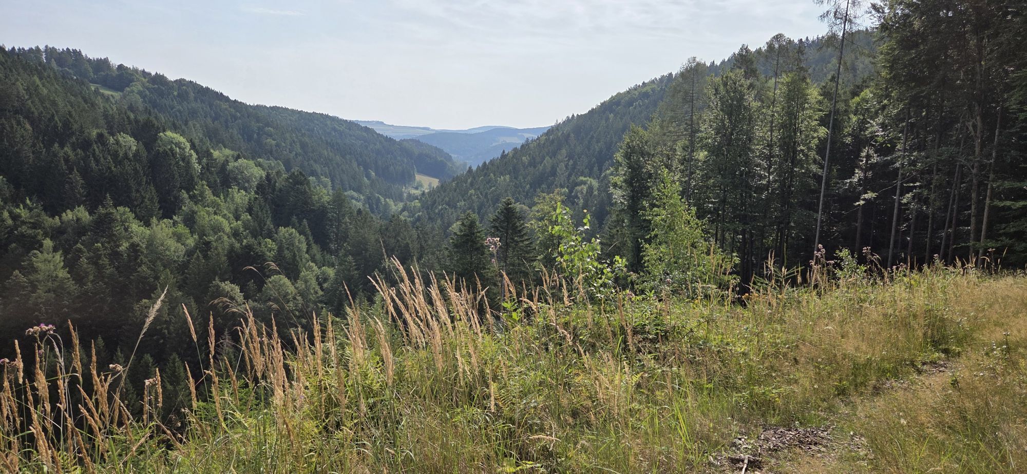
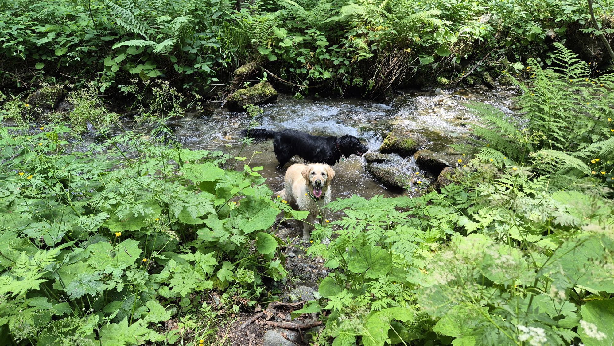
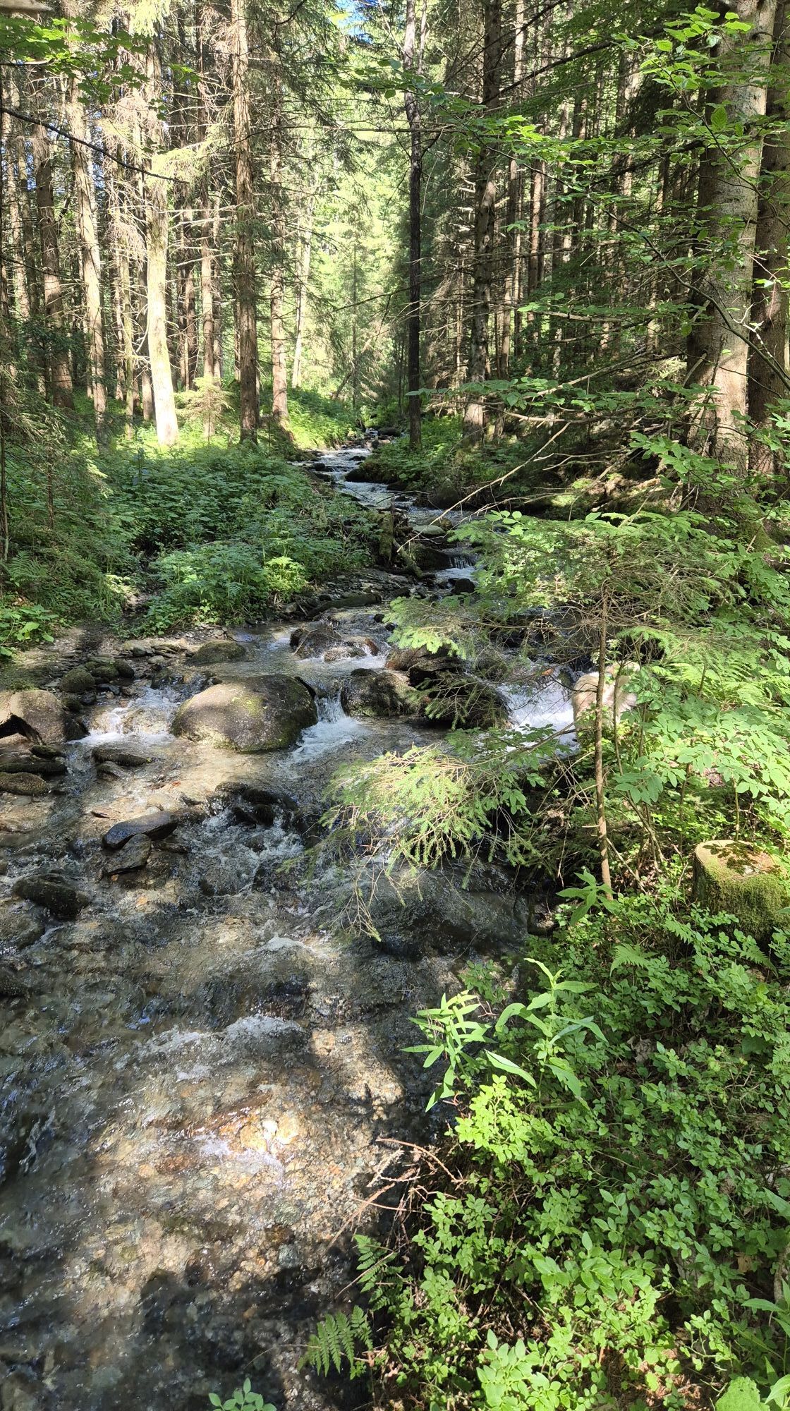

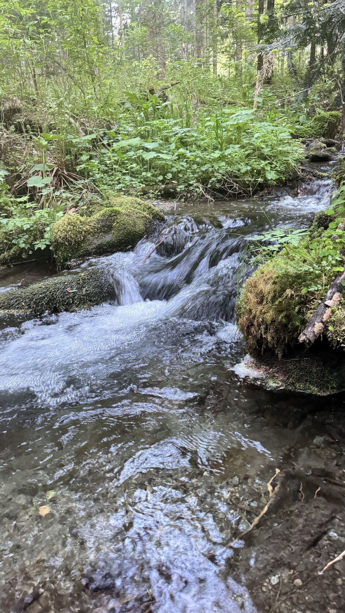


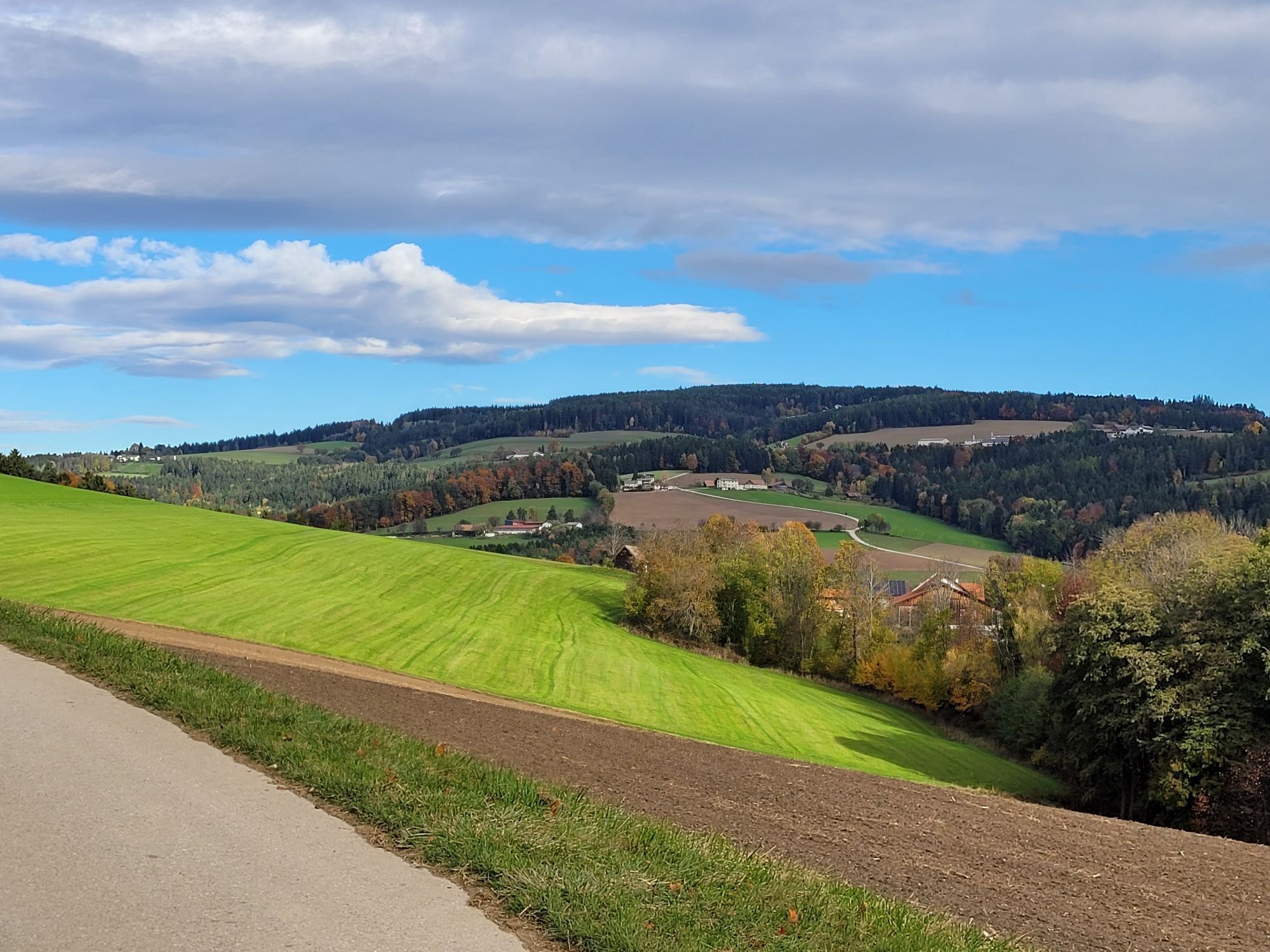
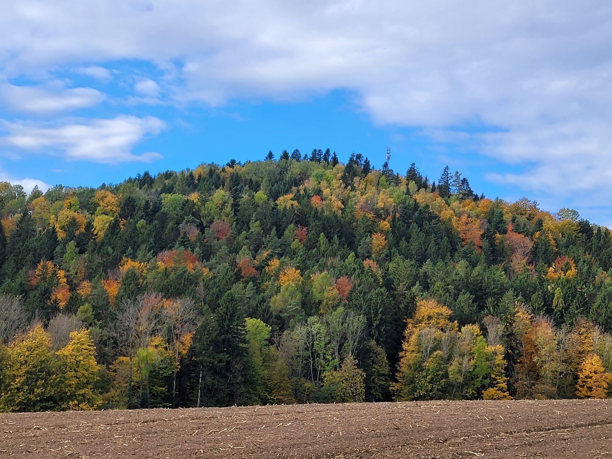
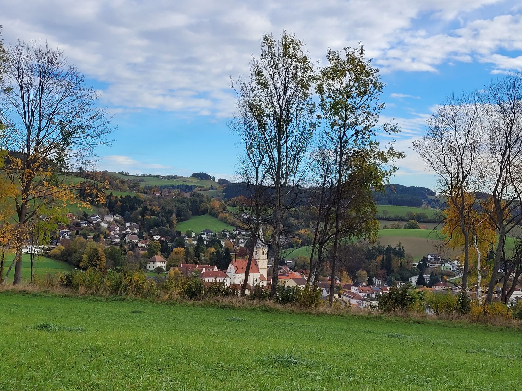
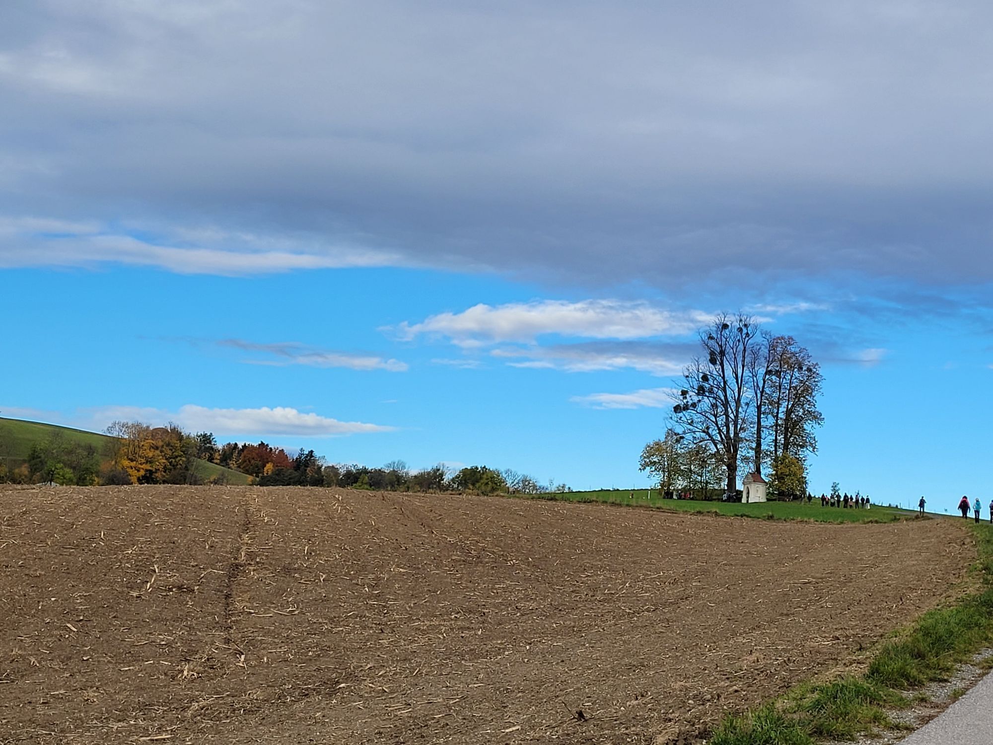
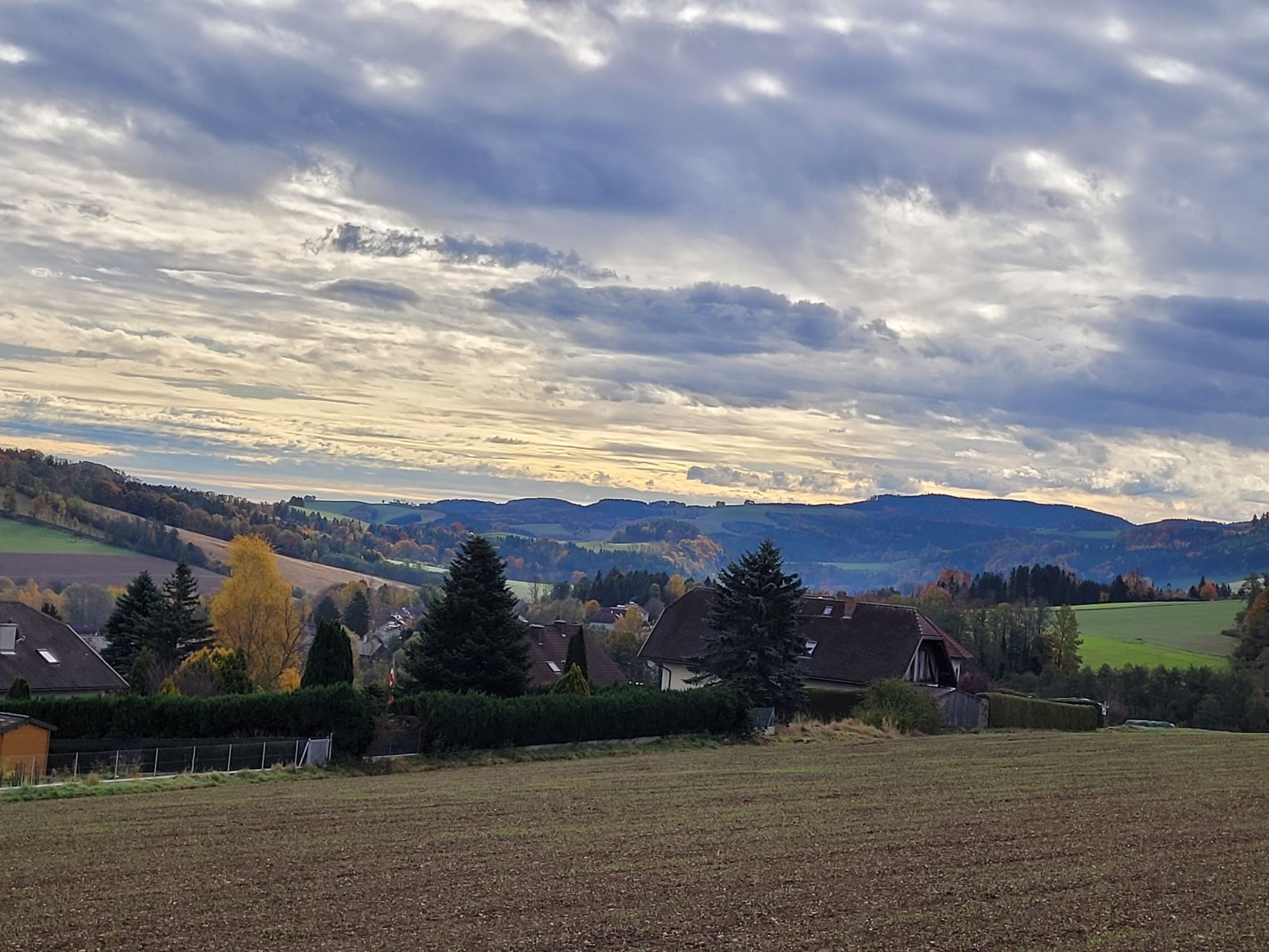
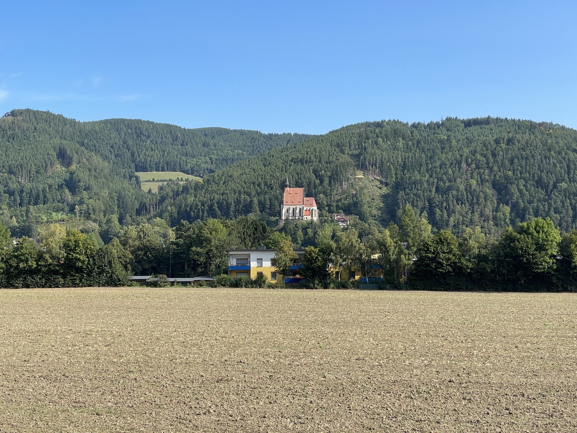


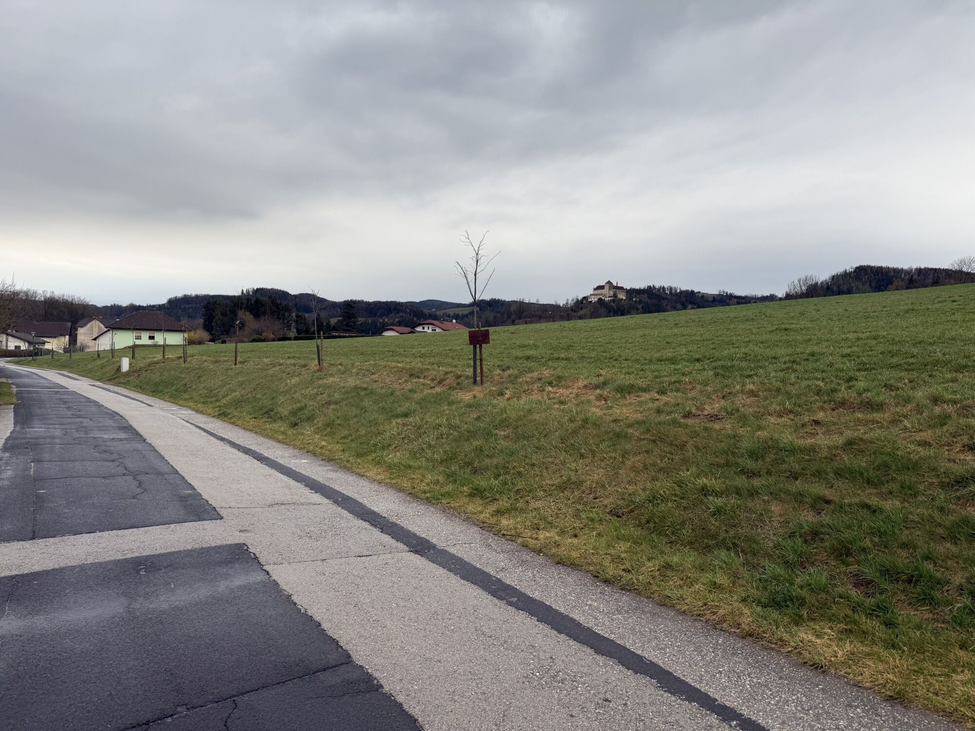
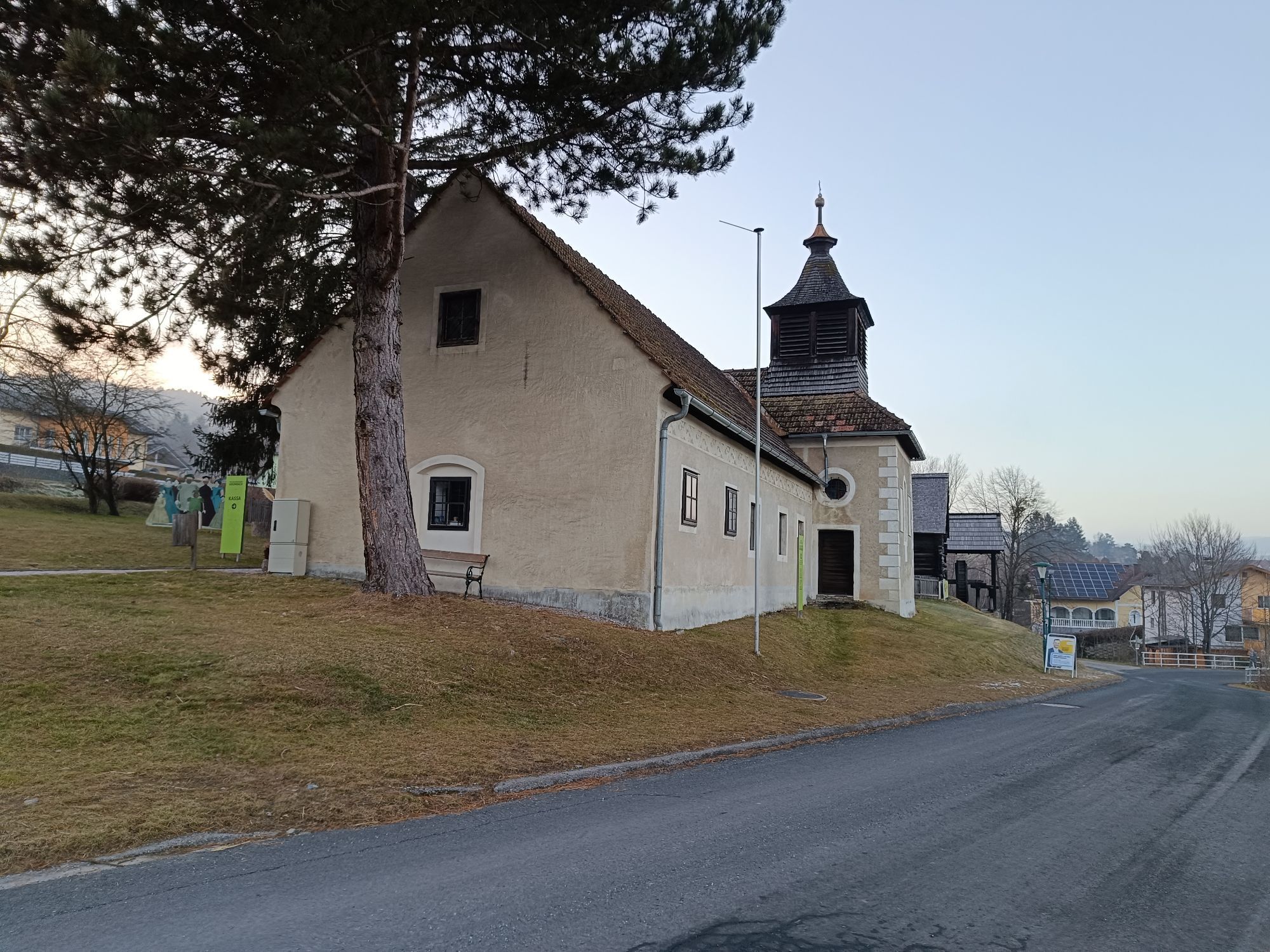
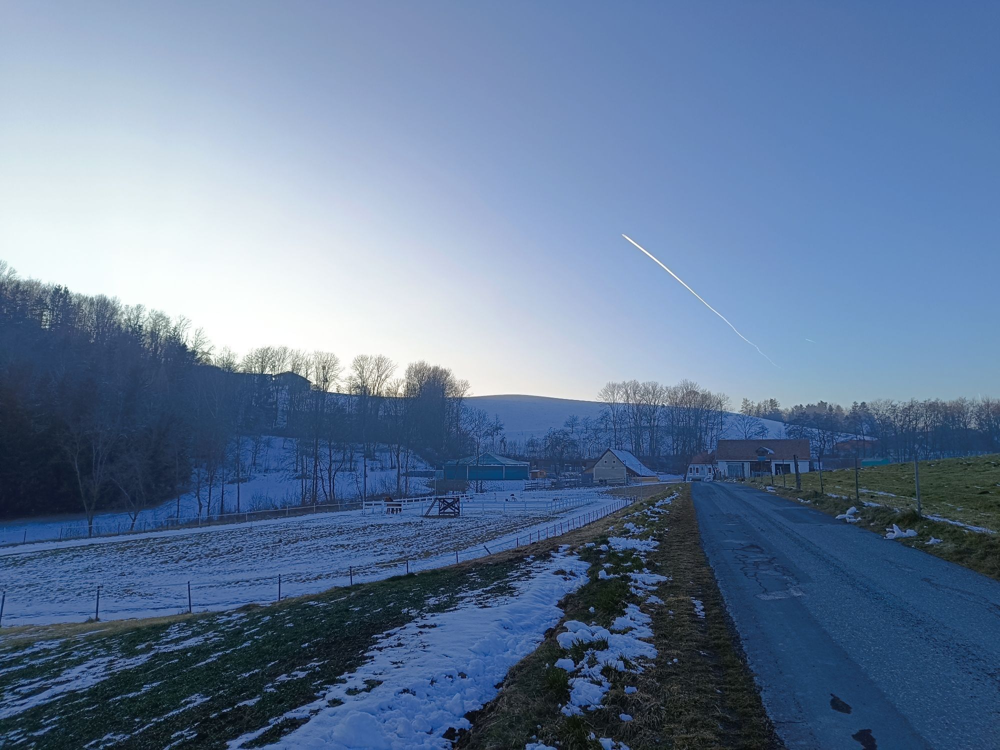
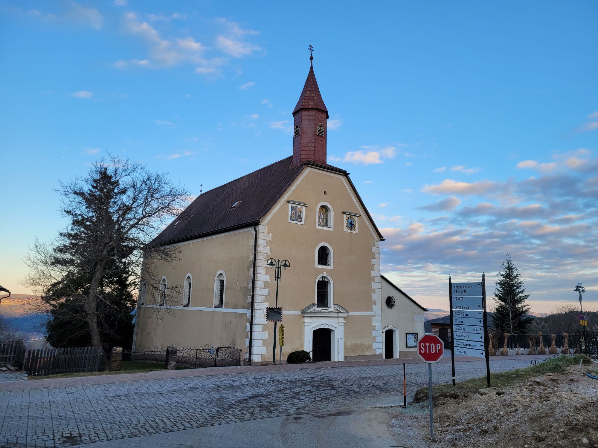
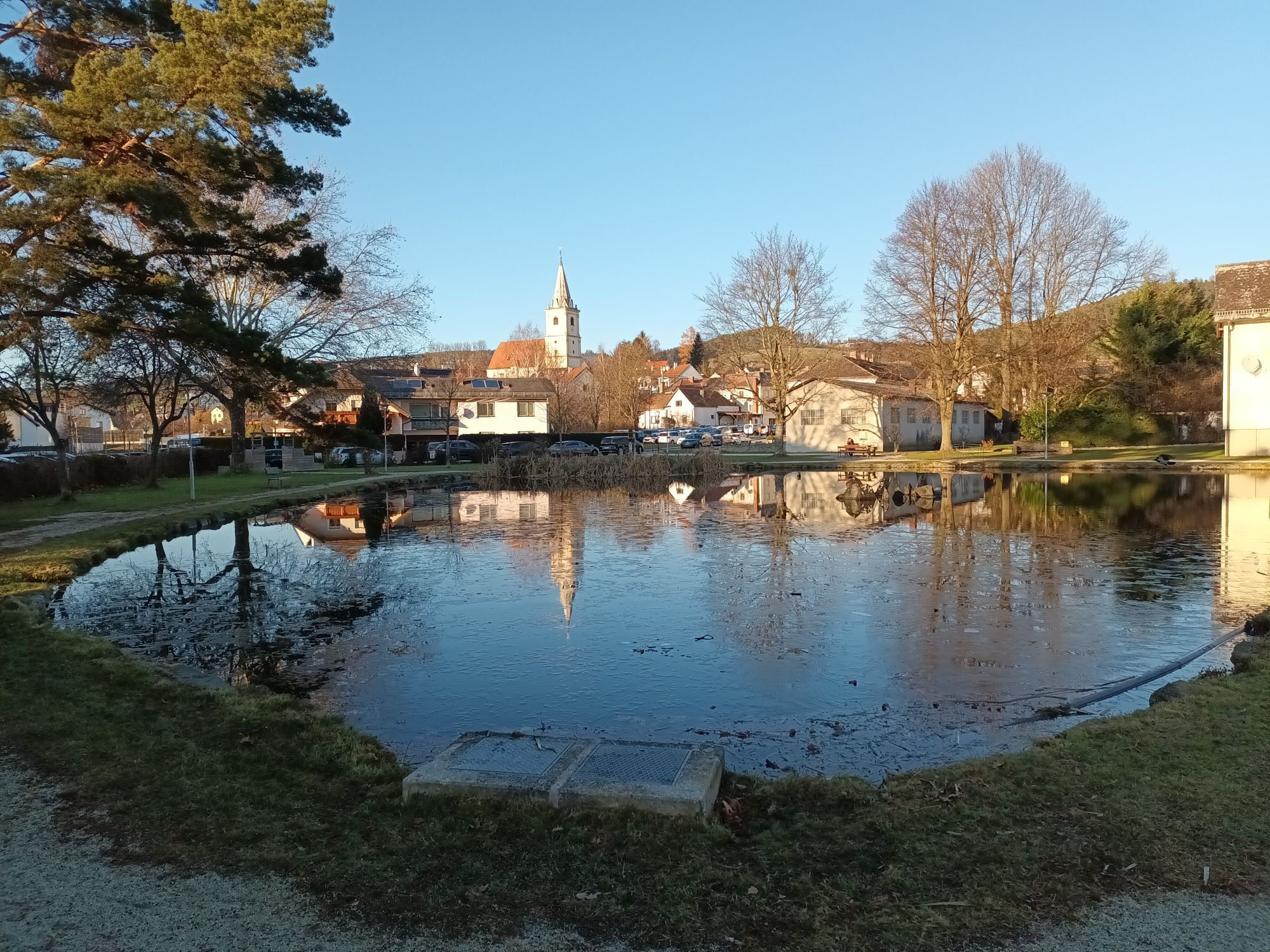
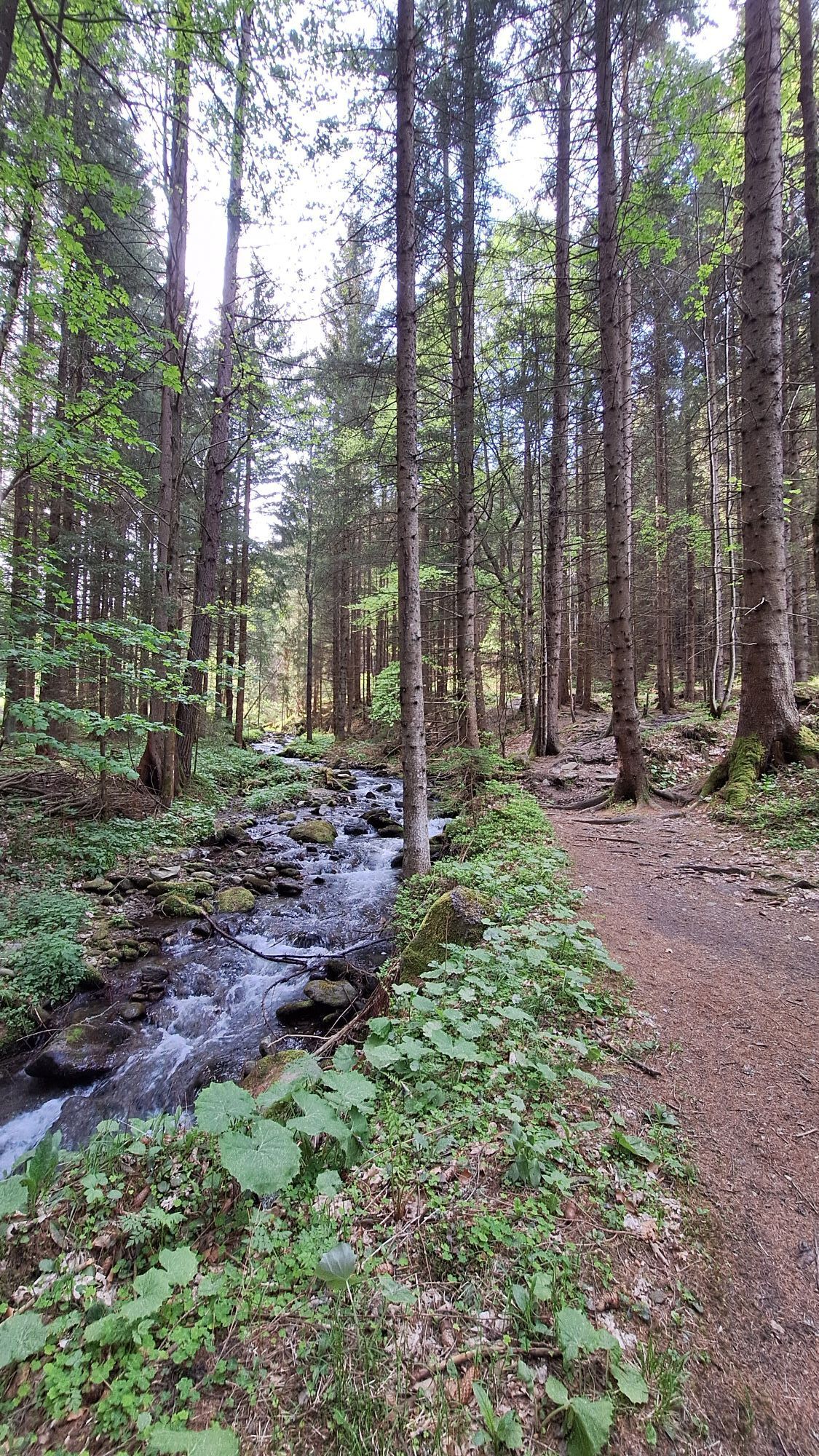
The route leads from Krumbach via Zöbern into Wechselland and up to St. Peter and St. Corona on roads with little traffic. Return to Kirchberg and via the Feistritztal valley to Aspang and back to Krumbach.



From Krumbach, take the B55 toward Kirchschlag; turn right at the sign for Unterhaus / Museumsdorf. Follow the signs through the Zöberner Au to Zöbern. Drive through Zöbern and continue on the road to Aspang. Continue to the main square, then turn left, then right (signs for St. Corona/St. Peter). At the intersection, turn left and follow the signs for St. Peter. The route then climbs steadily uphill—this is the steepest section—and continues via Mariensee to St. Peter am Wechsel; from there, follow the signs for St. Corona. From St. Corona, the route descends steadily to Kirchberg am Wechsel. Once you arrive in Kirchberg, the route goes through the Feistritz Valley to Wanghof. Turn right there and ride on to Aspang. At the main square, the route goes downhill again and passes the pond on the left. The route leads via Kulma back into the Bucklige Welt region, past the Natursinne Monastery (formerly GH Czerwenka) and on to Eis Greissler. Pass Eis Greissler on the right; the path leads to the Krumbacherhof—cross the road, and you’re back at the starting point.
We recommend wearing a bike helmet on rides. Wear appropriate clothing and sturdy shoes. Remember to bring protection from the rain and sun. Be sure to bring plenty to drink.
When choosing a route, make sure it matches your experience and fitness level. Check the weather forecast in advance.
Coming from Vienna, follow the A2 to the Krumbach exit. Continue along the B55 to Krumbach.
Coming from Graz, follow the A2 to the L137, then take the Aspang exit. From the L137, take the B55 to Krumbach.
From Vienna and Graz, the ÖBB runs via Wiener Neustadt to the Edlitz-Grimmenstein station. From there, the bus continues to Krumbach and into town.
For more information on planning your trip: fahrplan.oebb.at and anachb.vor.at.
Parking is available at the municipal parking lot, where the tour begins.
Person responsible for the content of this tour
Wiener Alpen in Lower Austria - Bad Schönau
Last update: 03.11.2025
If the entire route is too long for you, you can skip the section through Wechselland and turn back at Aspang.
Kamery internetowe z trasy

Popularne wycieczki w okolicy
-
3,9
Schwaigen Rundwanderung
światłoWędrówka 8,24 km -
3,7
St. Corona - Kampstein
średniWędrówka 10,7 km -
4,7
Hochwechsel - Tour
Wędrówka 18,5 km -
4,6
Hochwechsel-Runde, Waldbach-Mönichwald
średniWędrówka 17,9 km -
4,6
Mariensee - Wildwasserweg - Marienseer Schwaig
światłoWędrówka 8 km -
4,6
Hochwechsel
średniWędrówka 14,3 km -
4,5
Sonnwendstein
średniWędrówka 9,40 km -
4,5
Rabl-Kreuz-Hütte auf den Hochwechsel
światłoRakieta do chodzenia po śniegu 9,87 km -
4,5
Schanzkapelle - Kleiner Otter - Mitterotter - Großer Otter - Kummerbauerstadl - von Göstritz Göstritz, Niederösterreich
średniWędrówka 11,6 km -
4,4
Kummerbauerstadl-Erzkogel-Sonnwendstein-Maria Schutz-Kummerbauerstadl
światłoWędrówka 12,2 km
Wędrówki i tropienie


Nie przegap ofert i inspiracji na następne wakacje
Twój adres e-mail została dodana do listy mailingowej.


