







stp Route #6 Gutenstein Alps

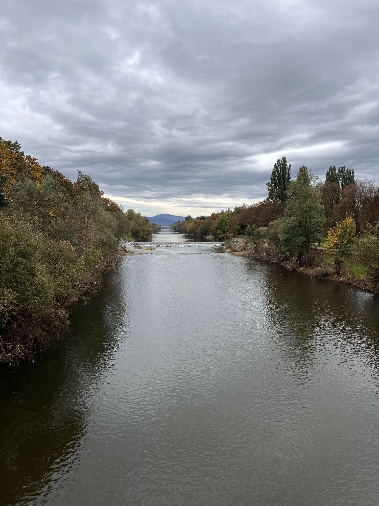
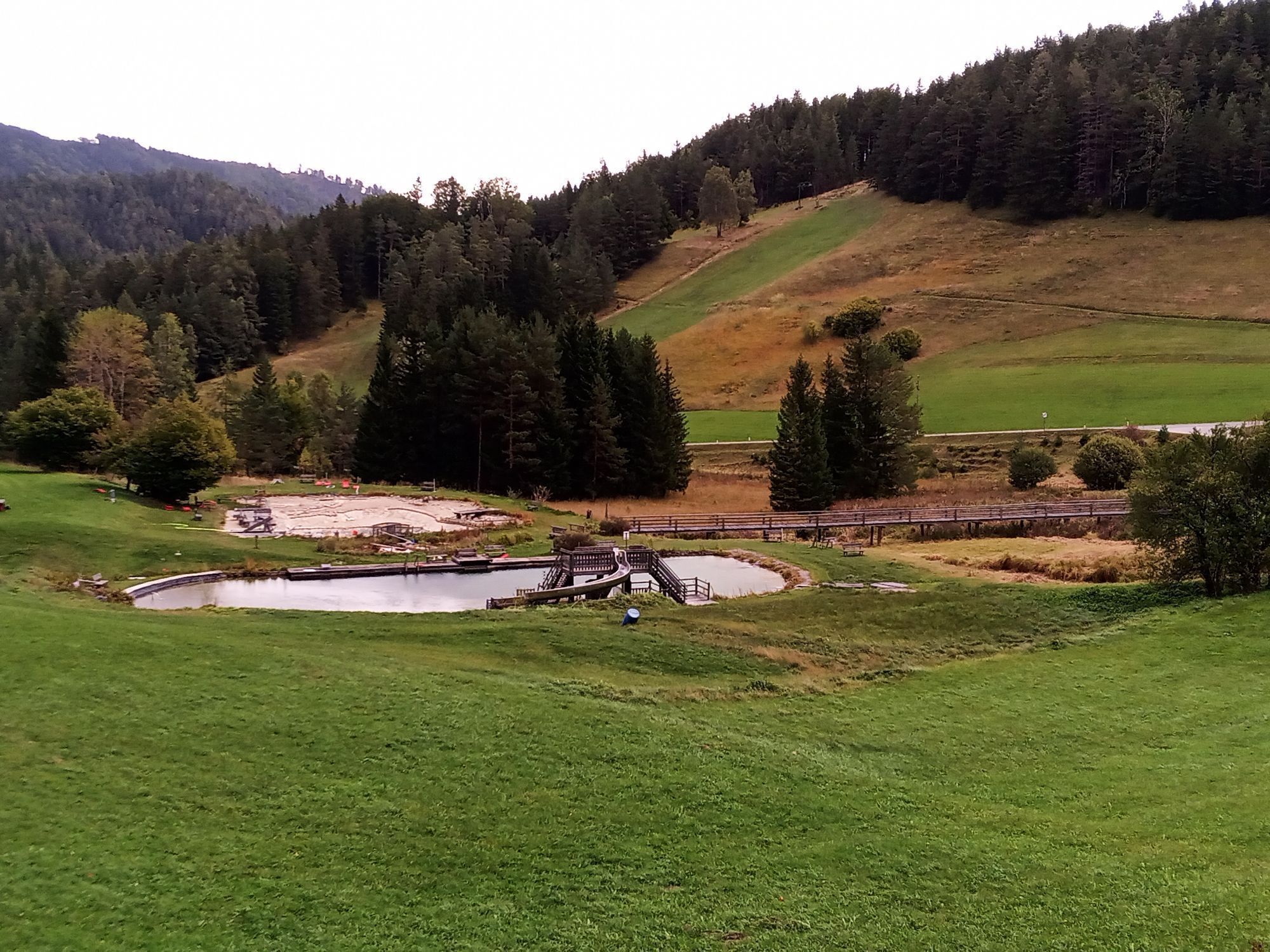
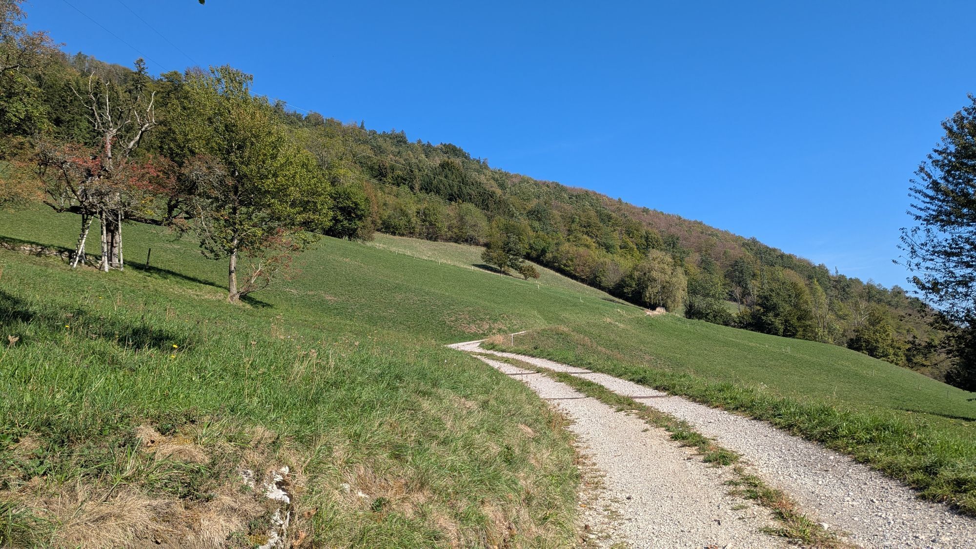
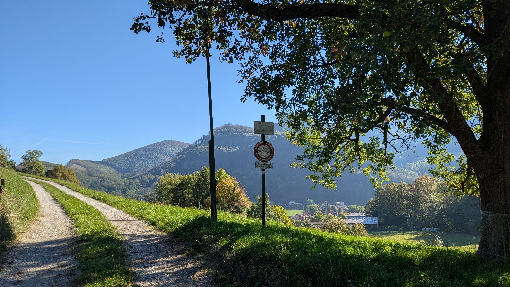

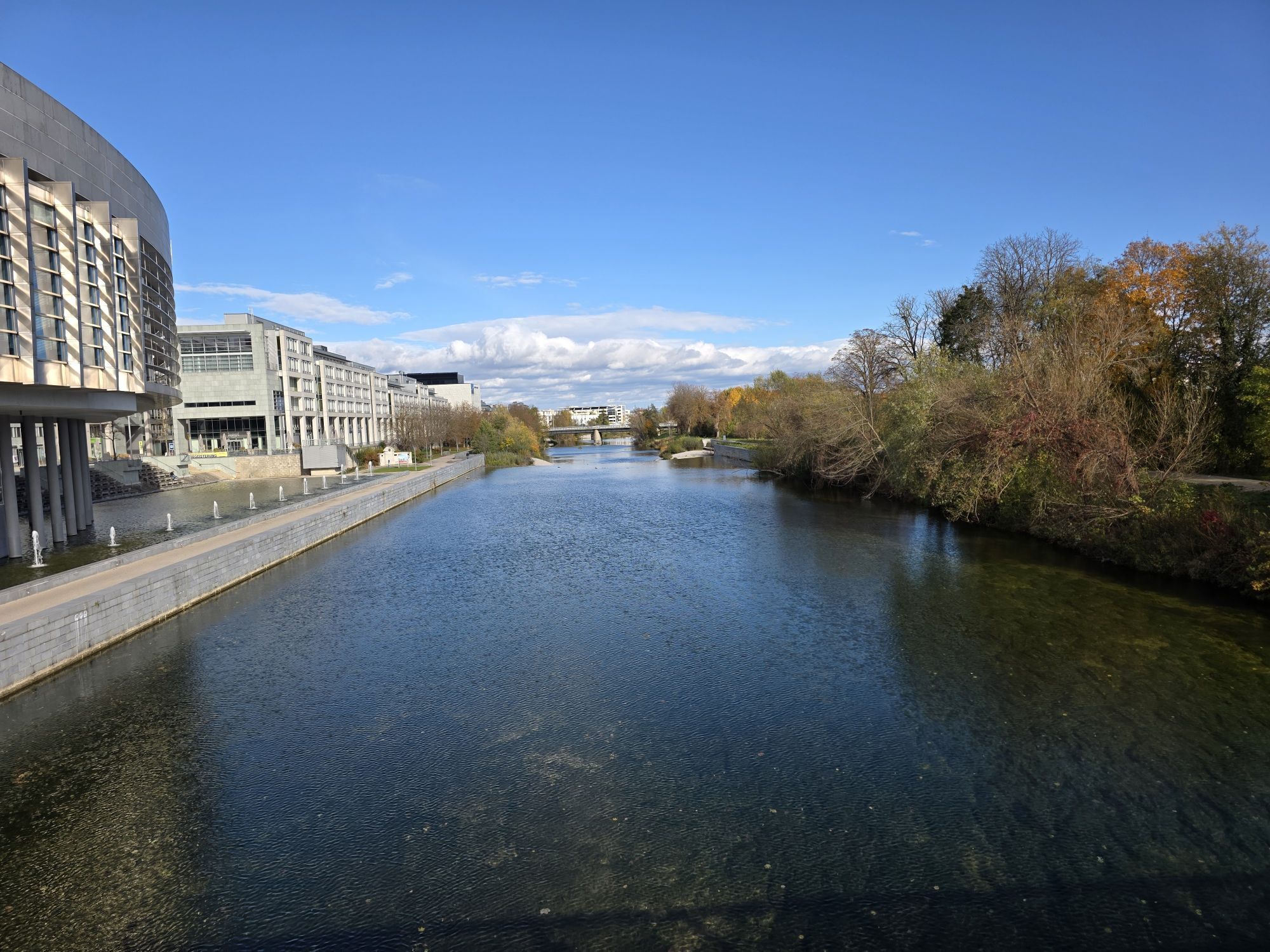
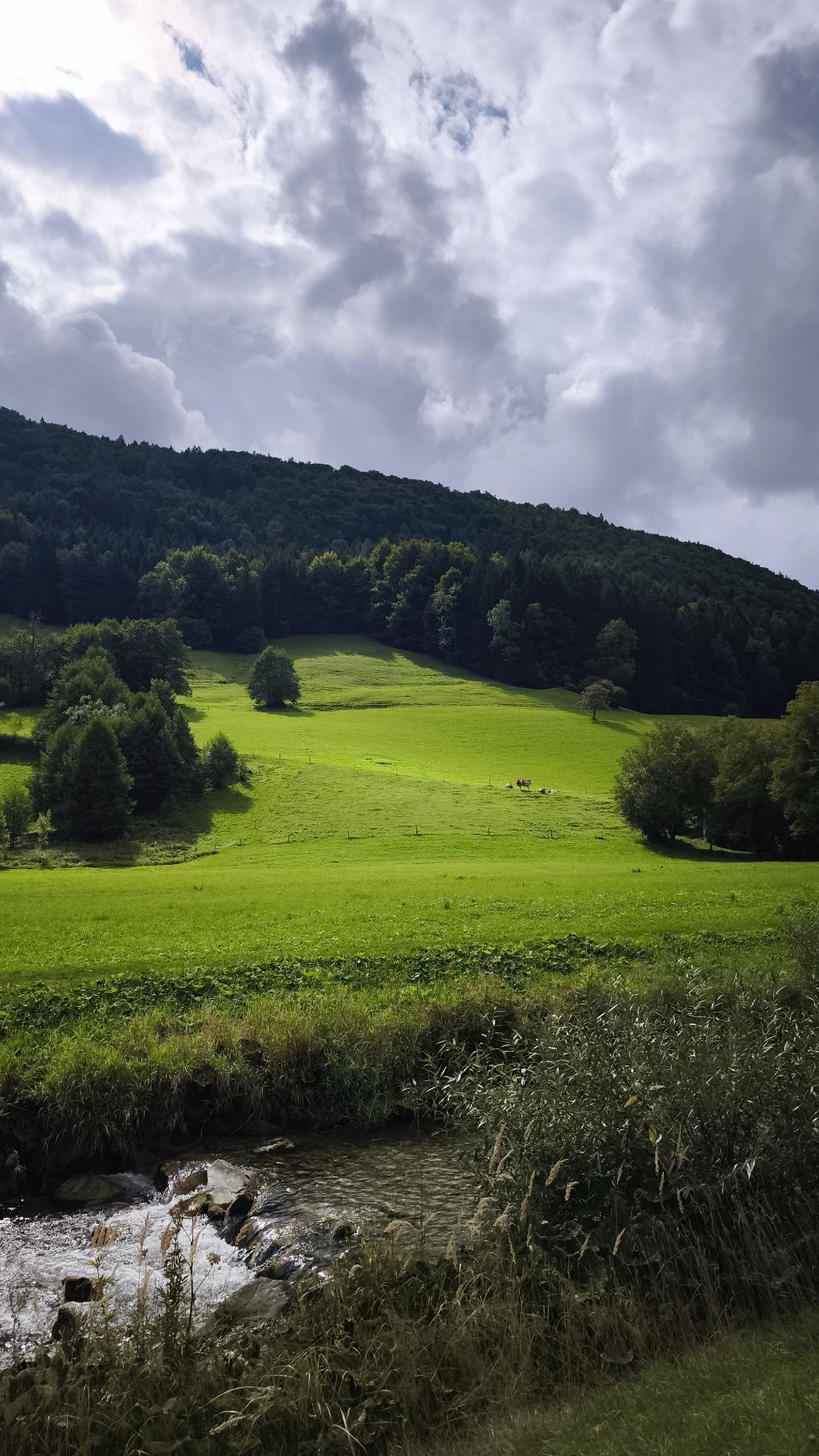
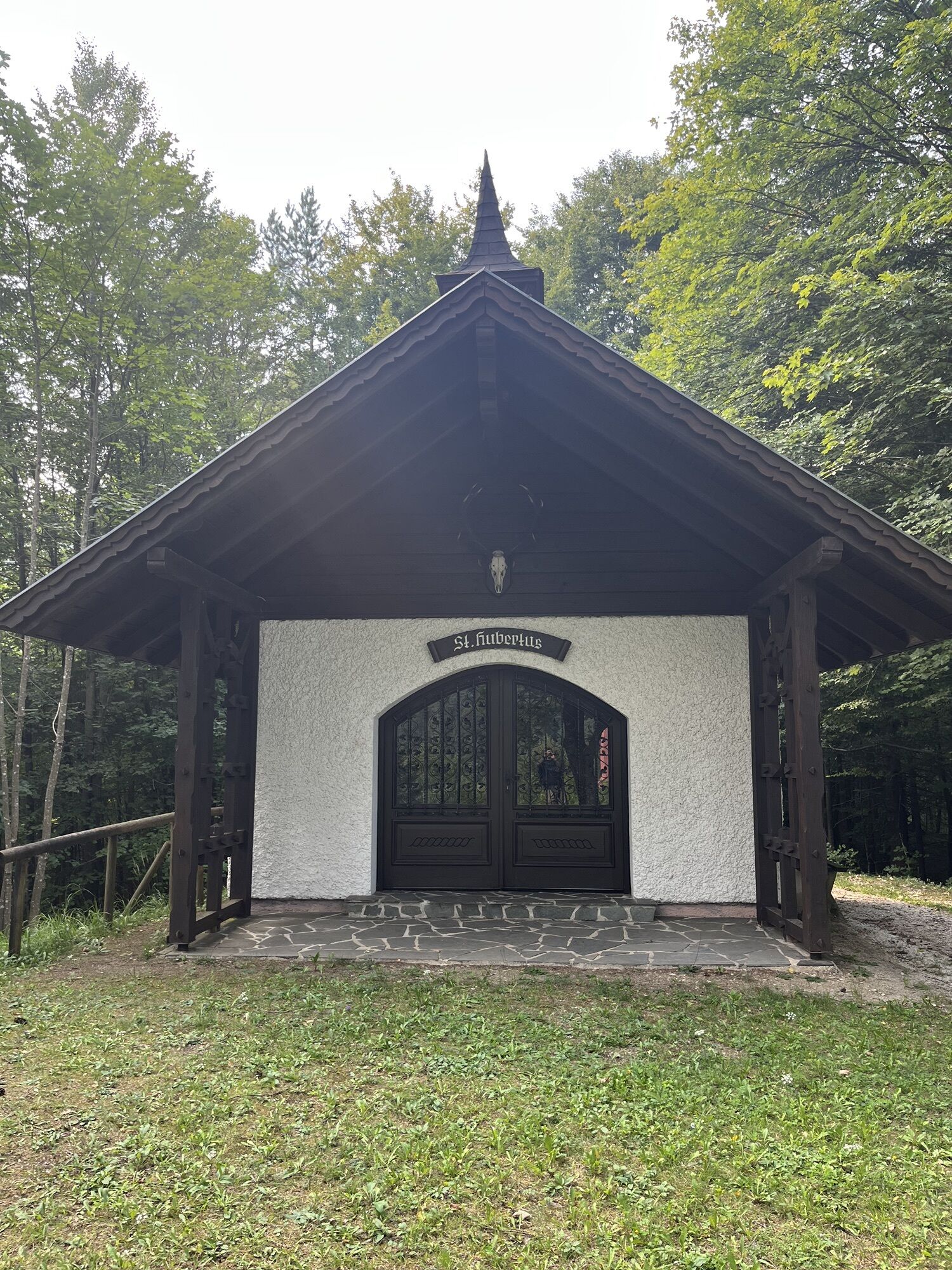
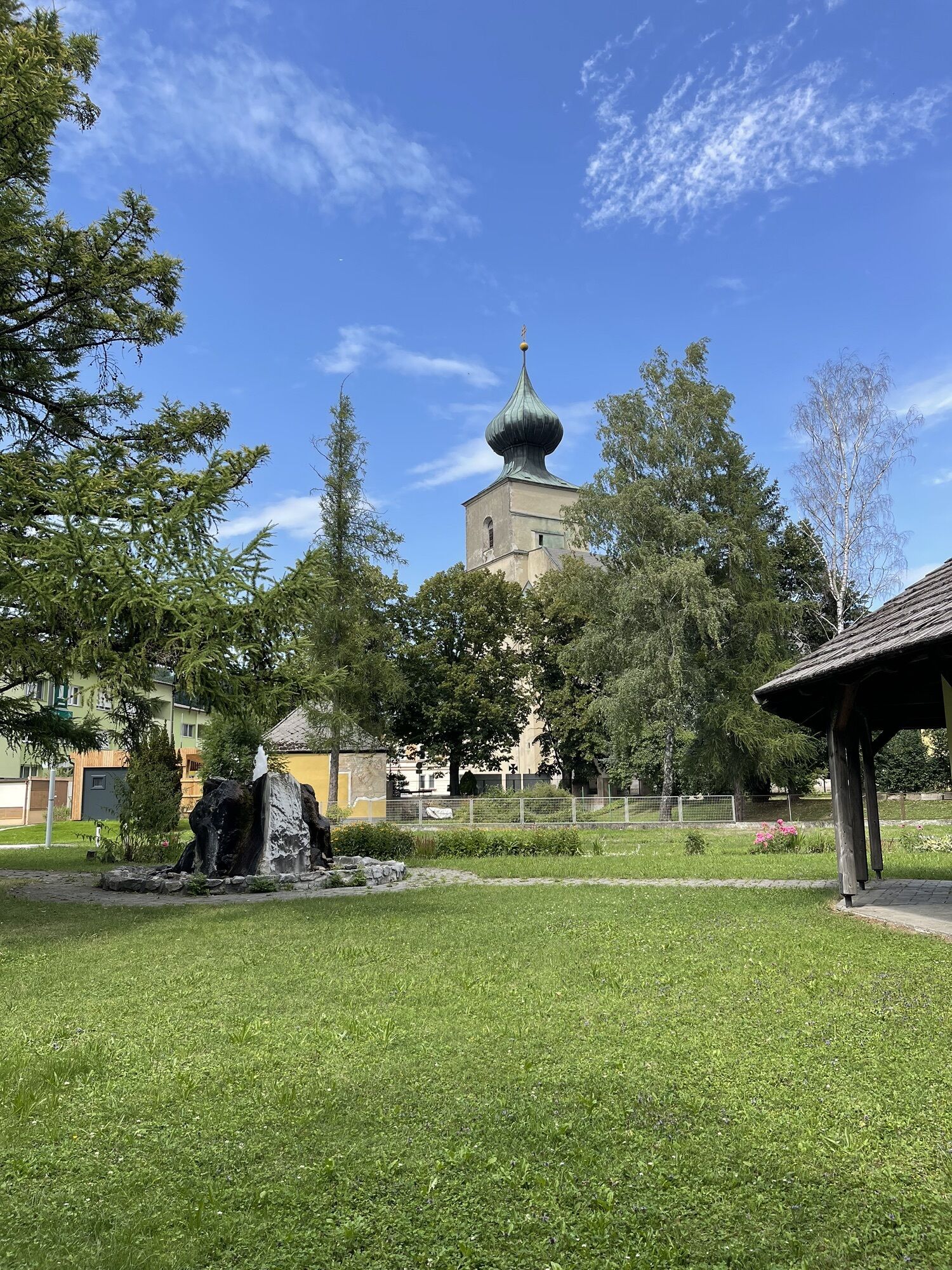

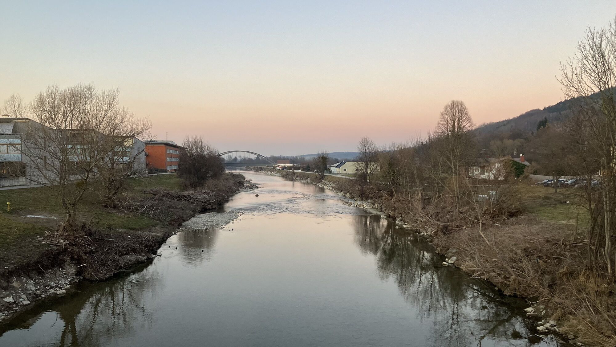
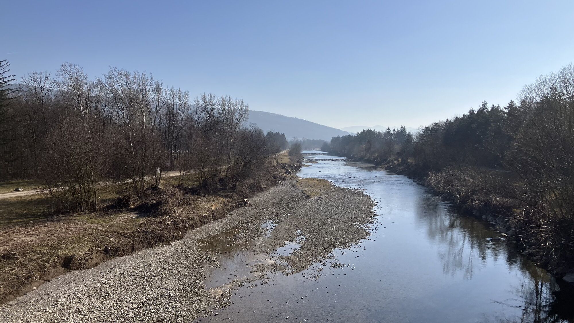
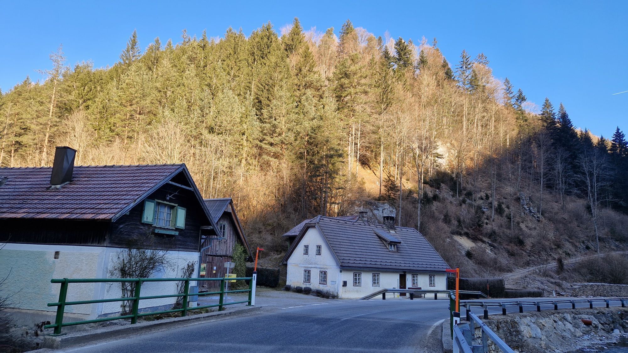
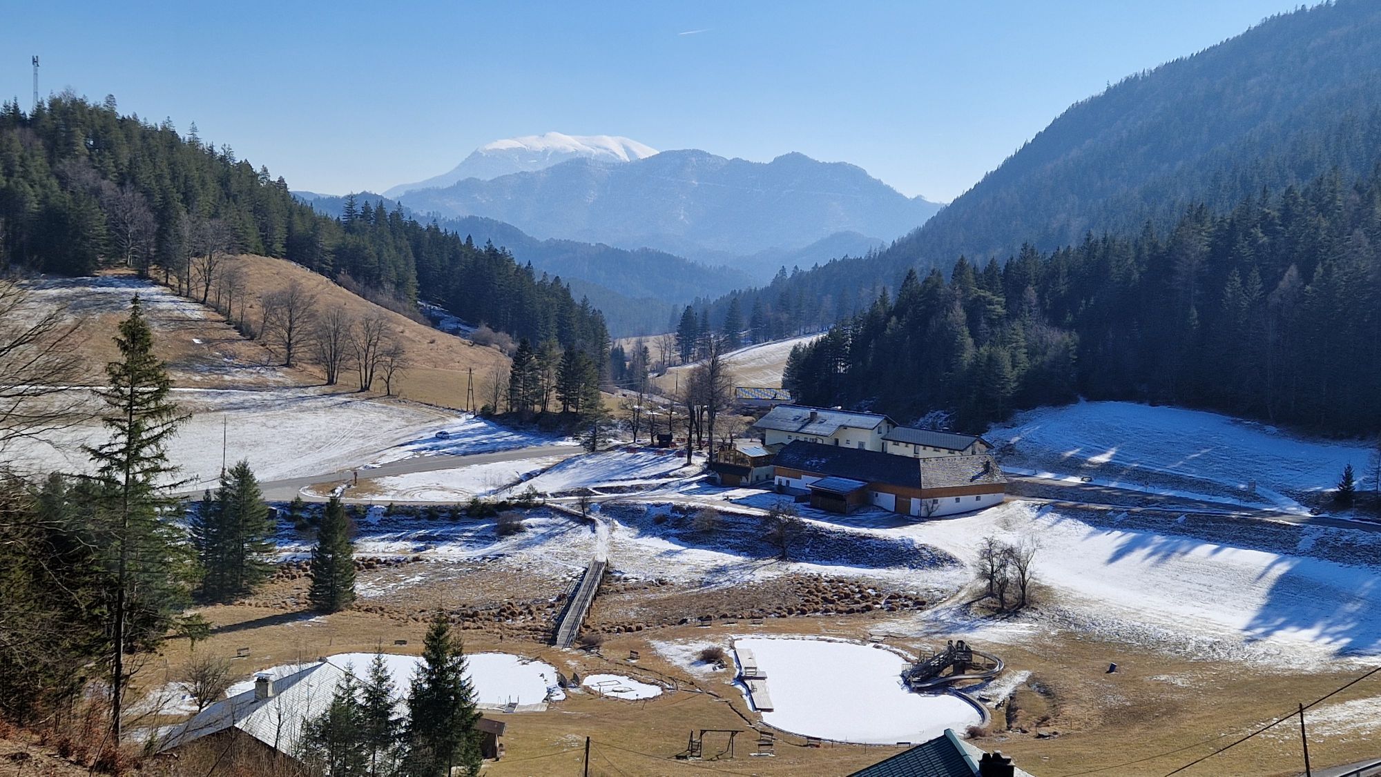
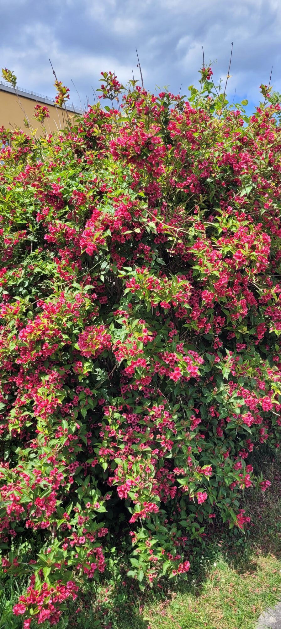
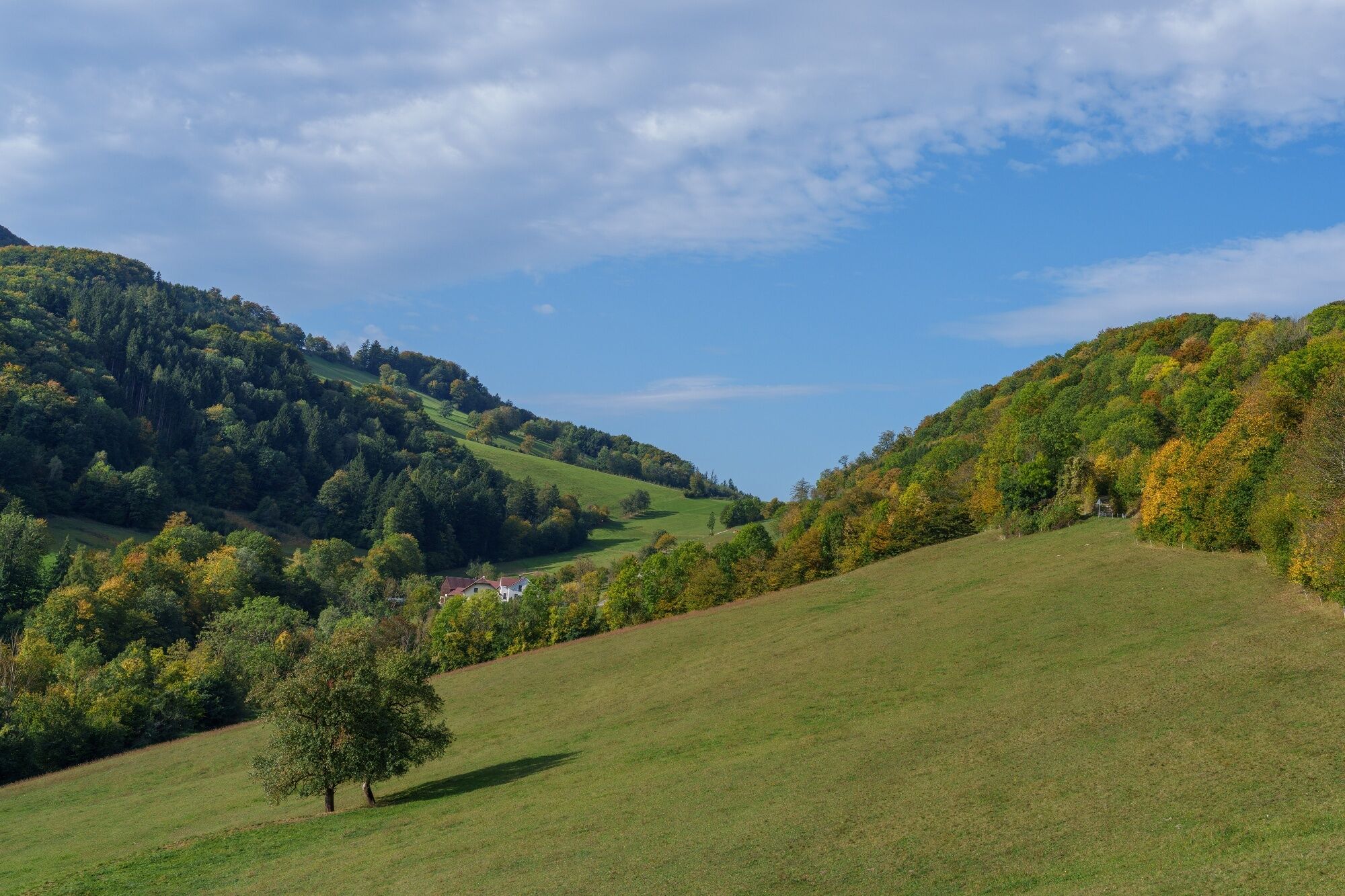
Over 114 kilometers and 1,370 meters in altitude, this challenging road bike route leads into the charming area of the Gutenstein Alps. Before that, you have to conquer the Morigraben, the connection between...
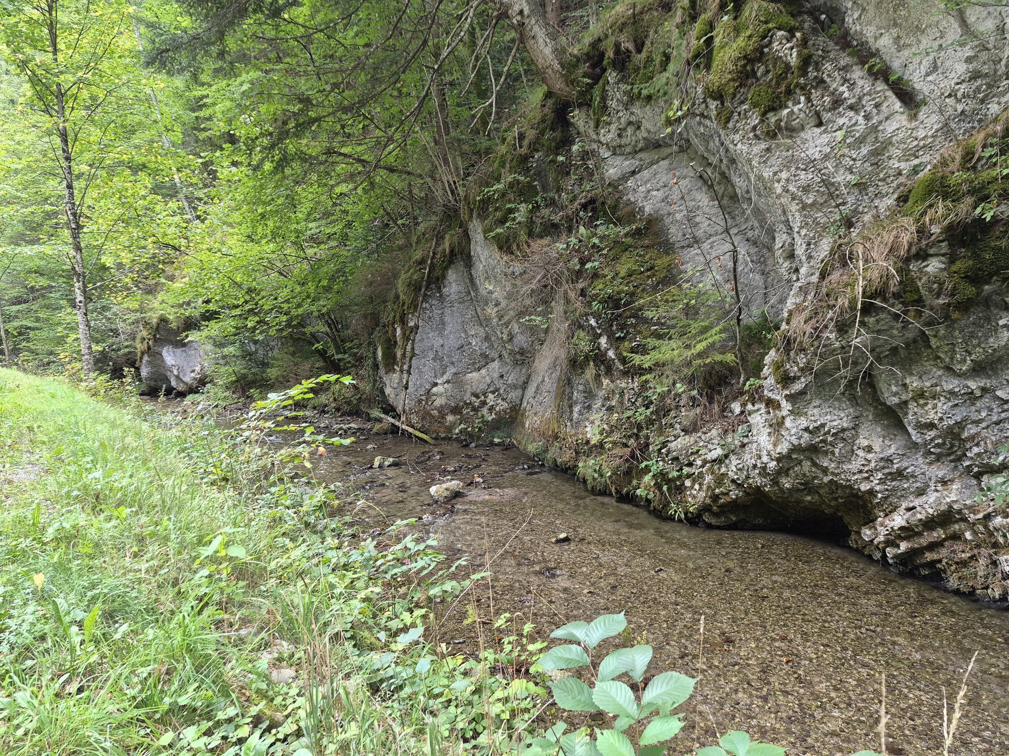
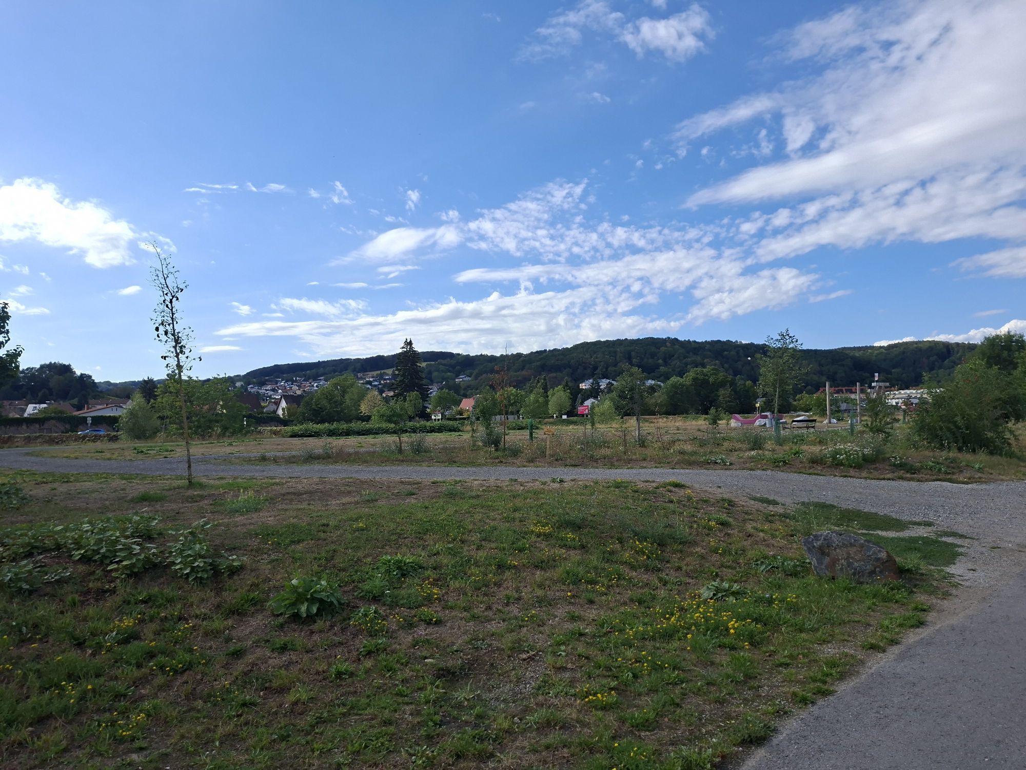
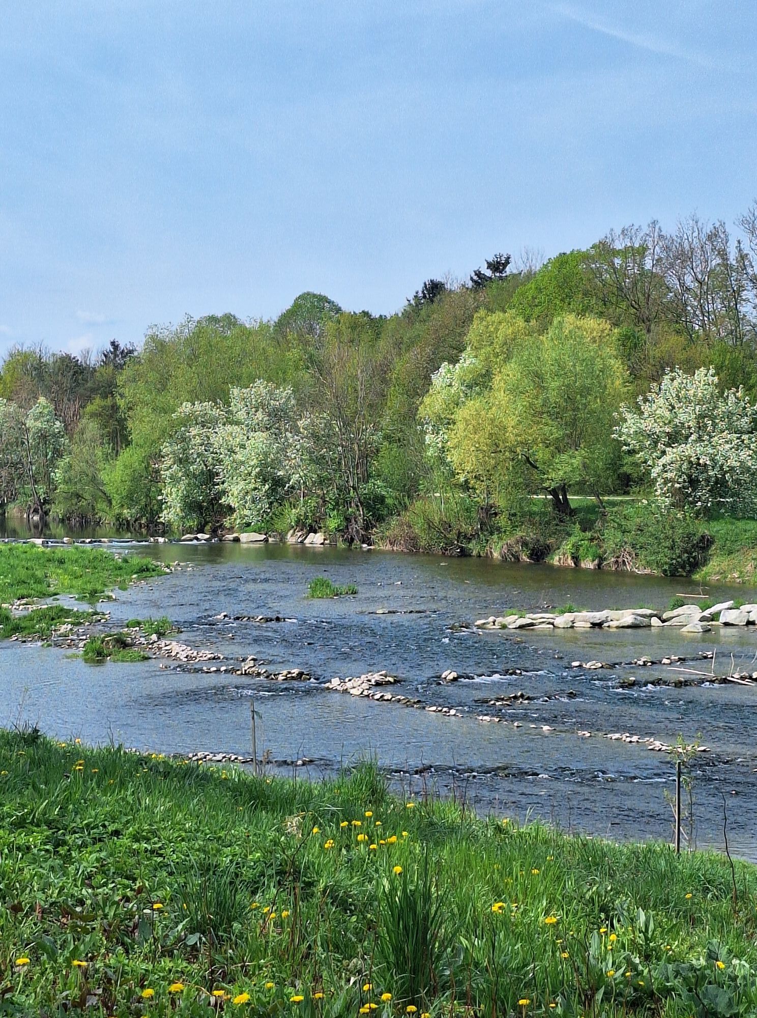
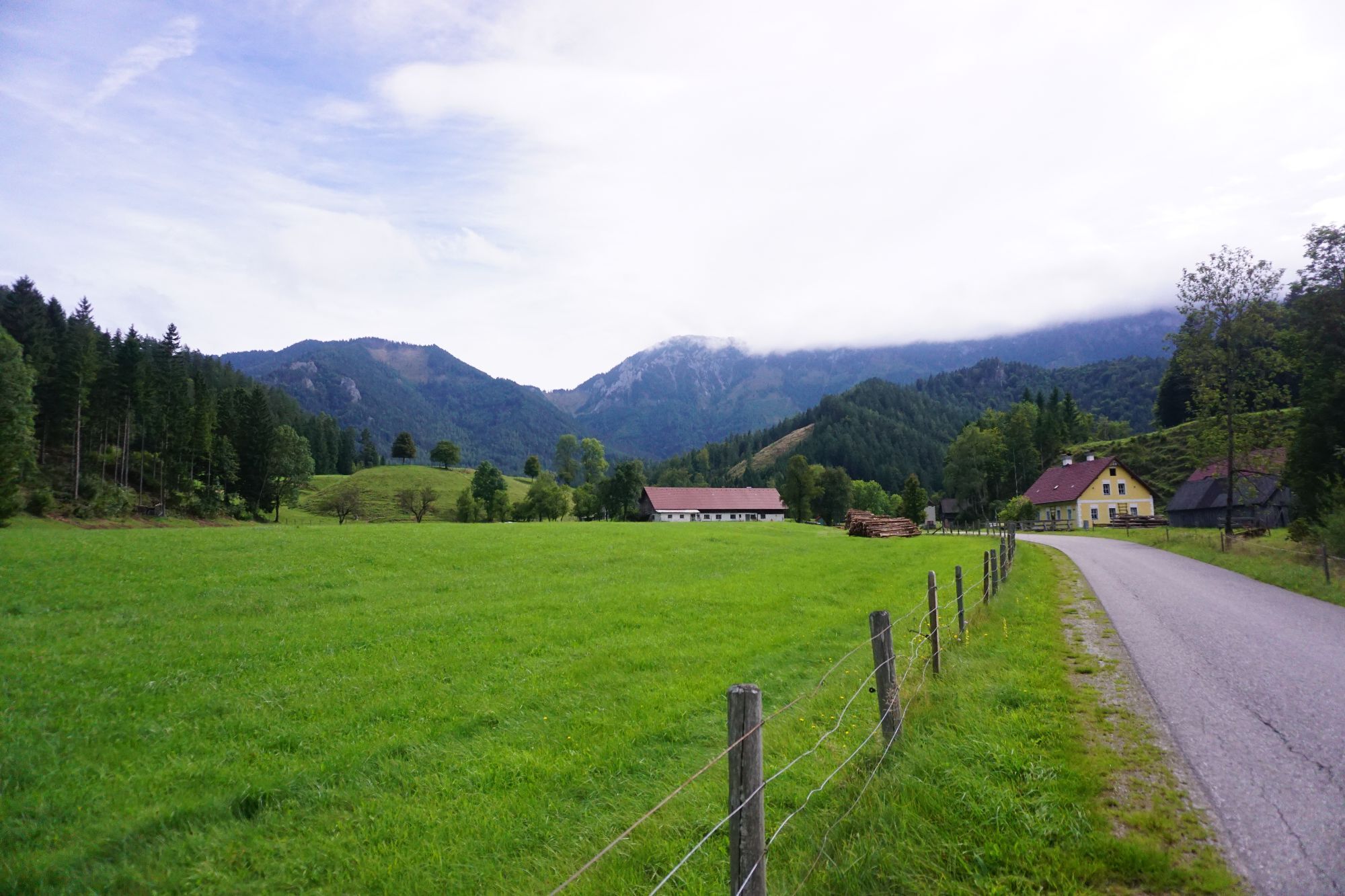
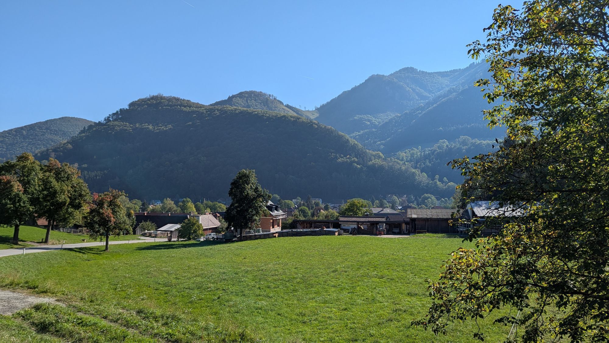
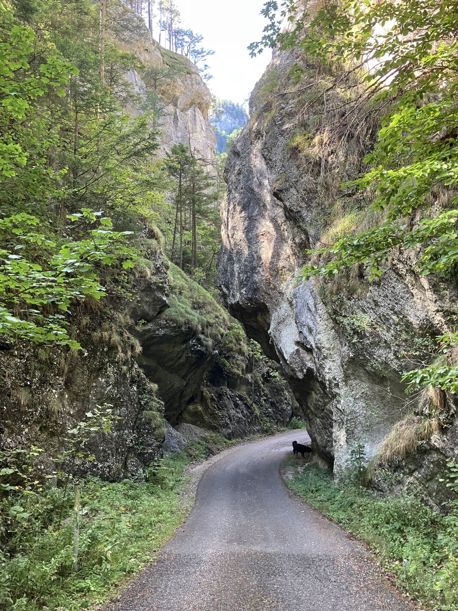
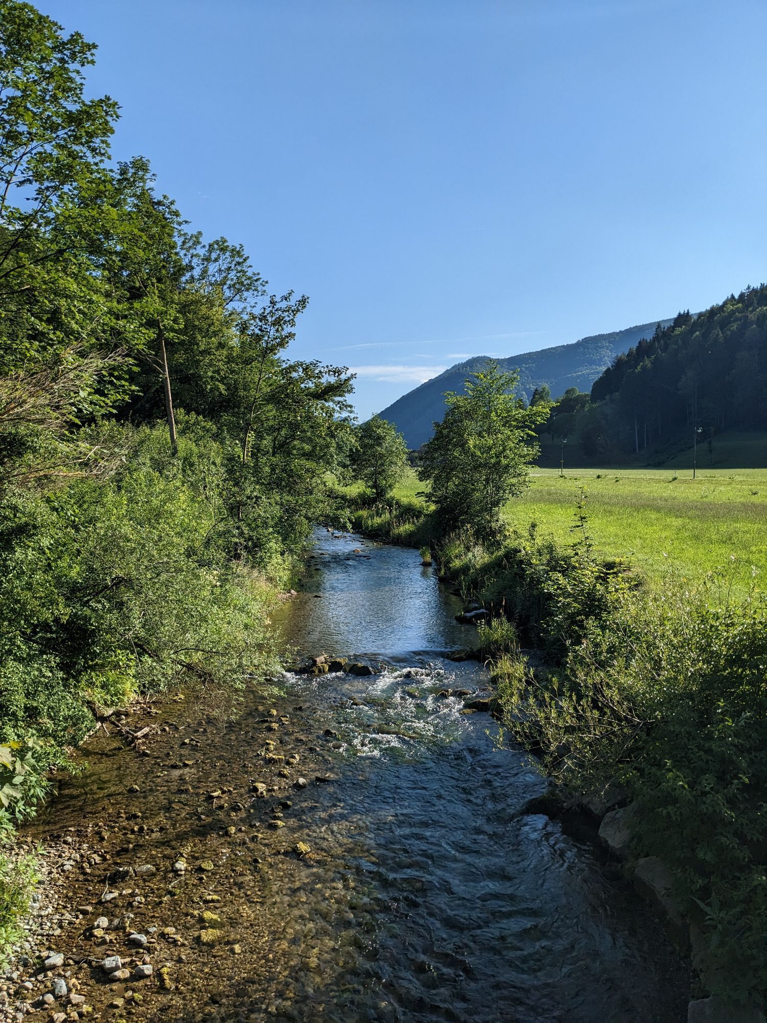
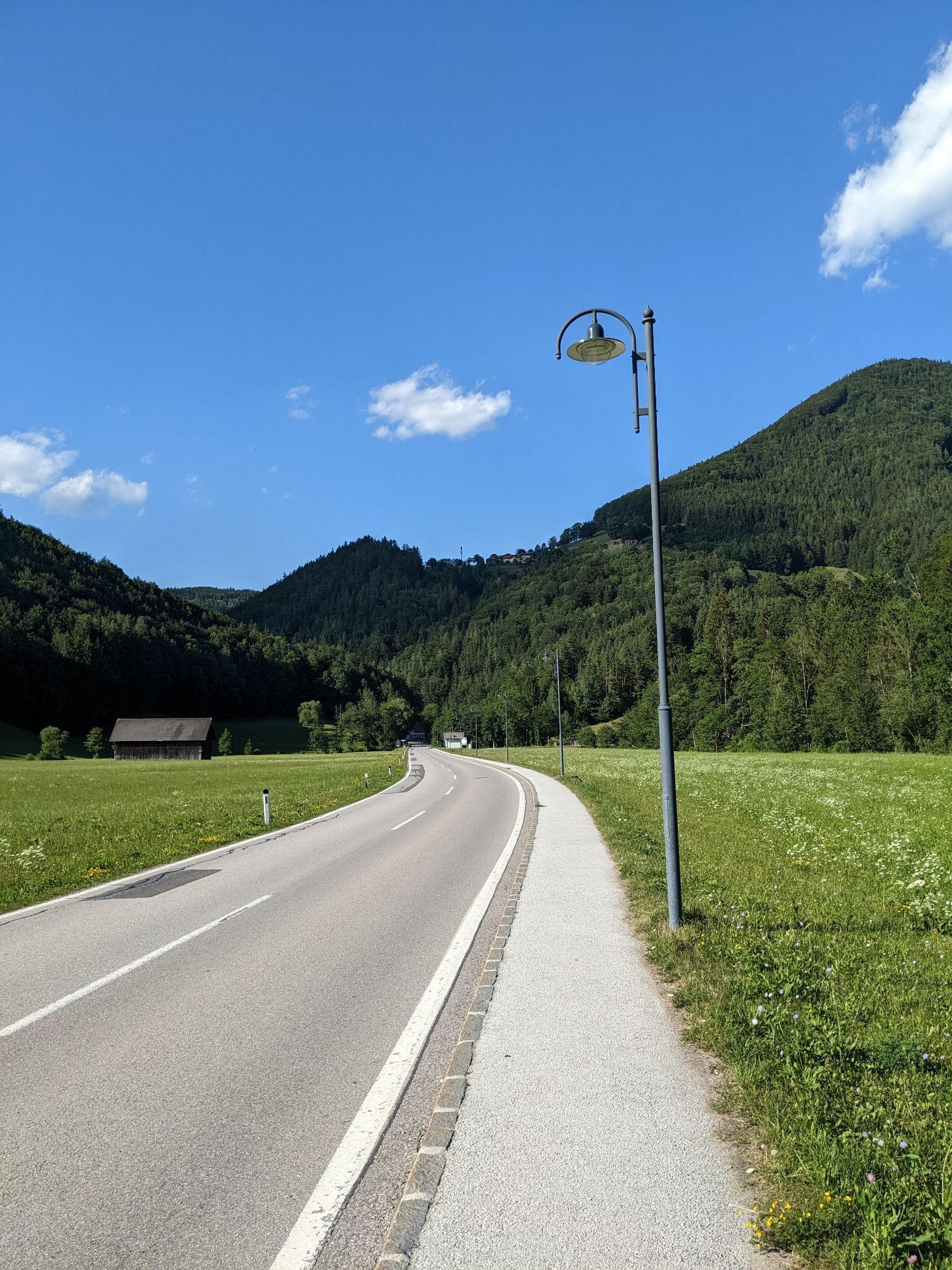
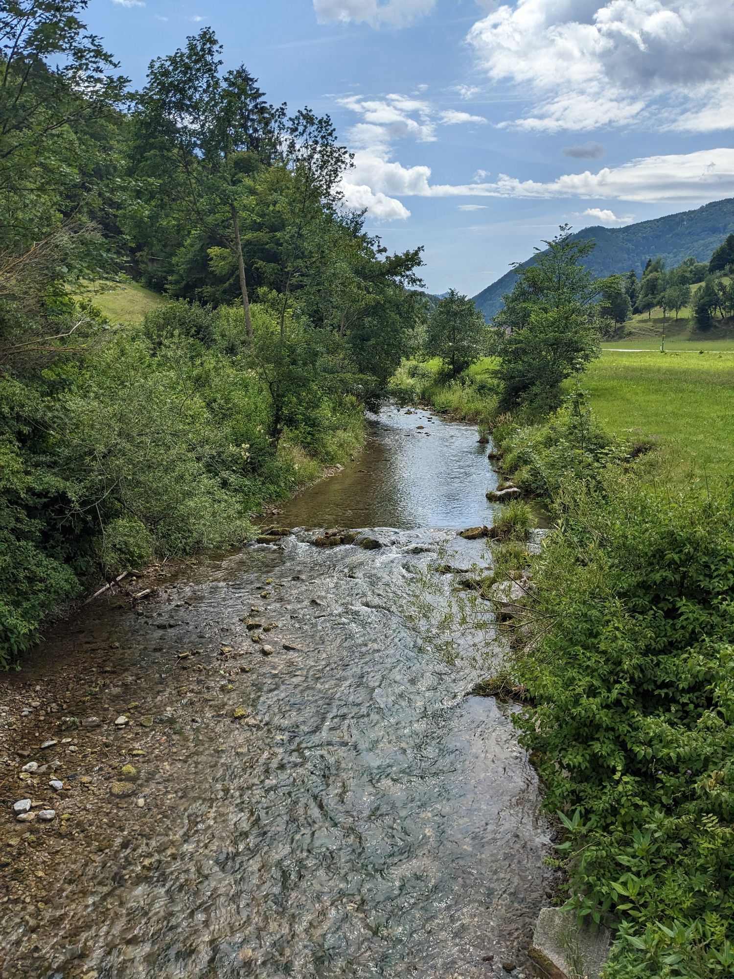
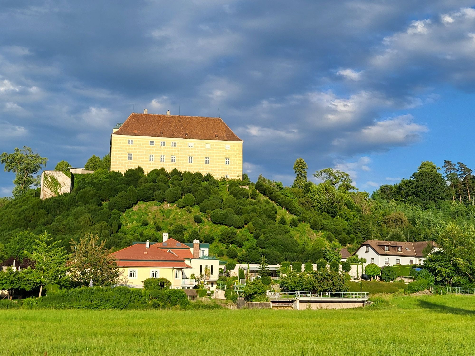
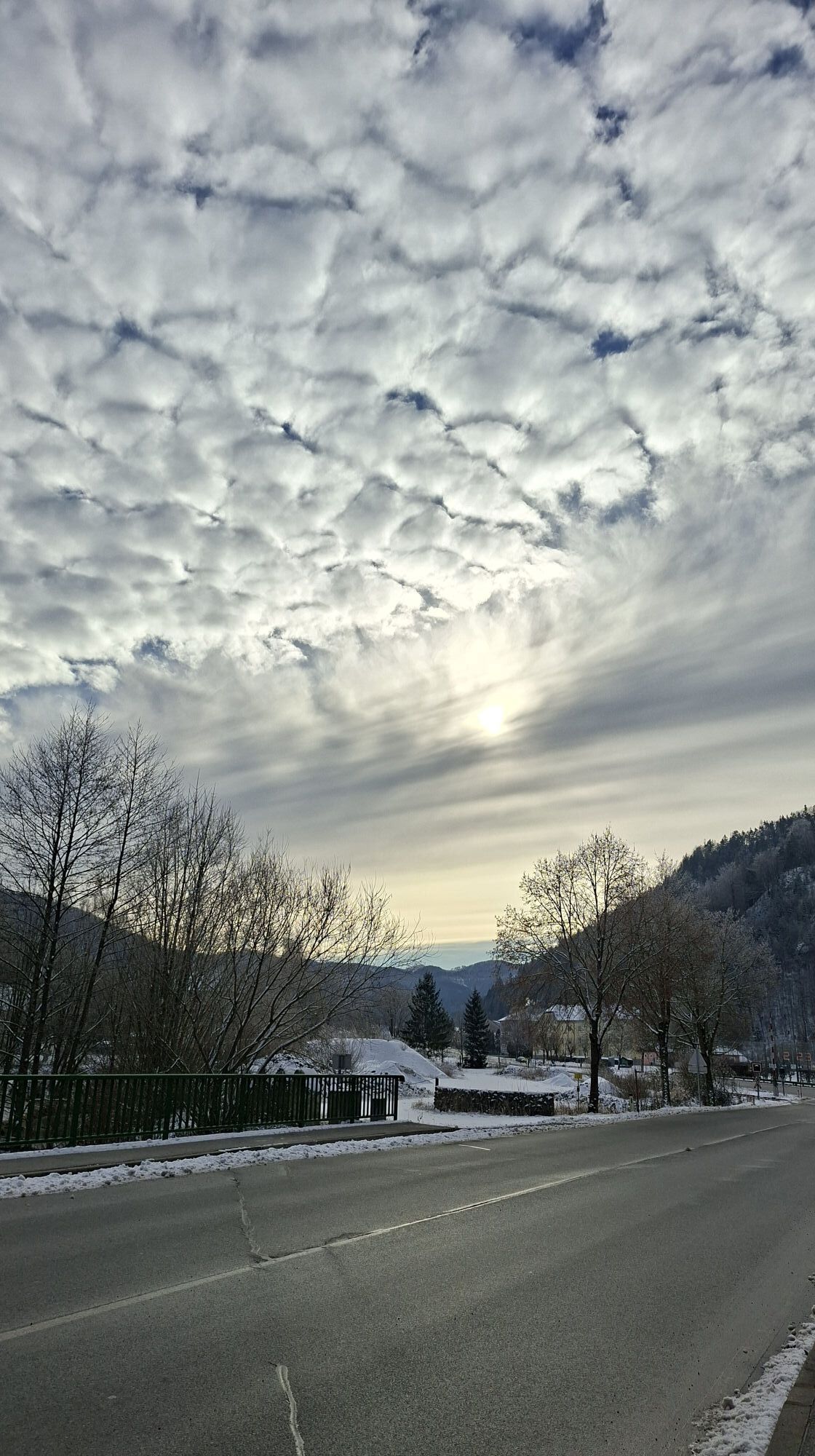
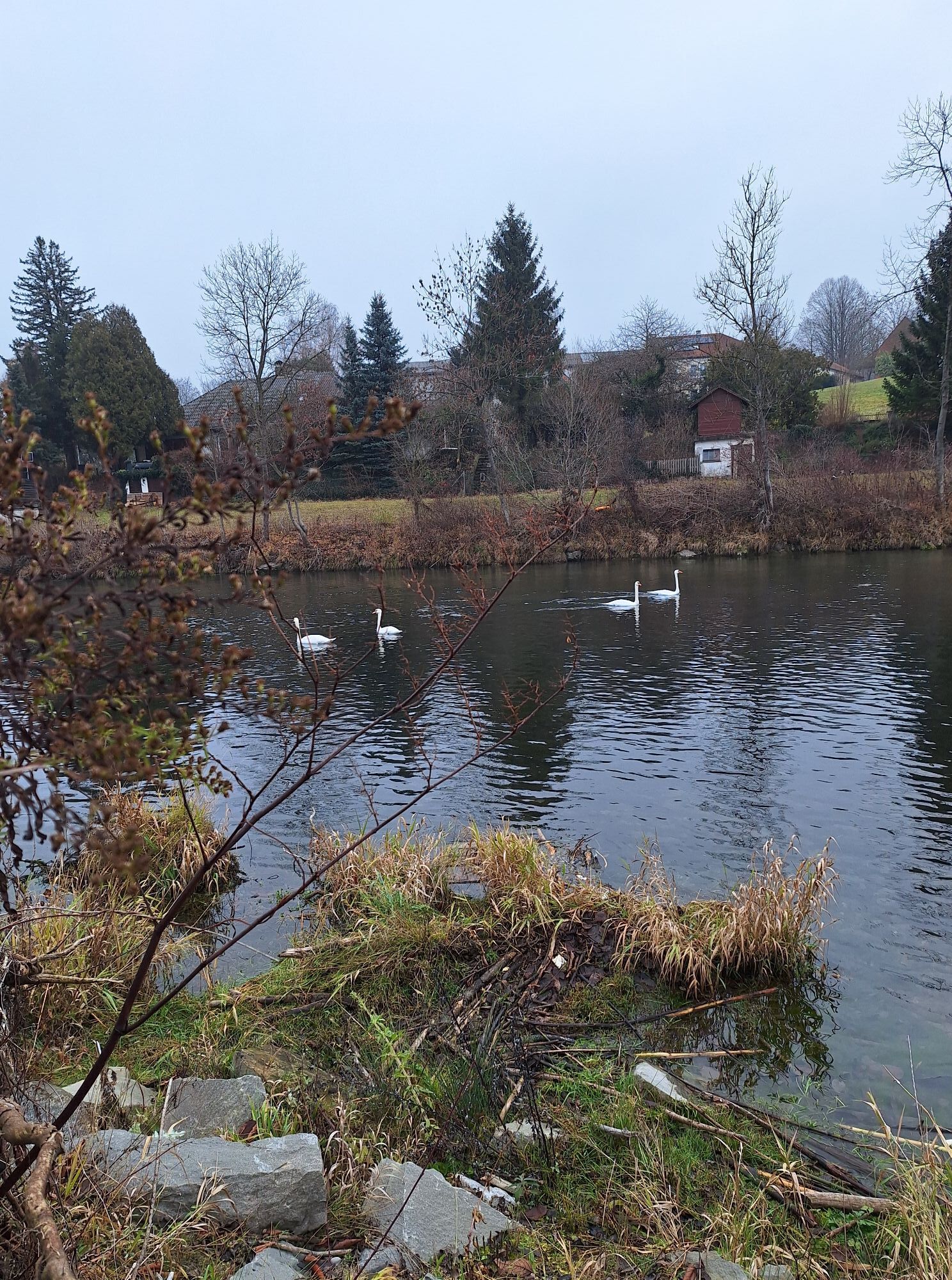
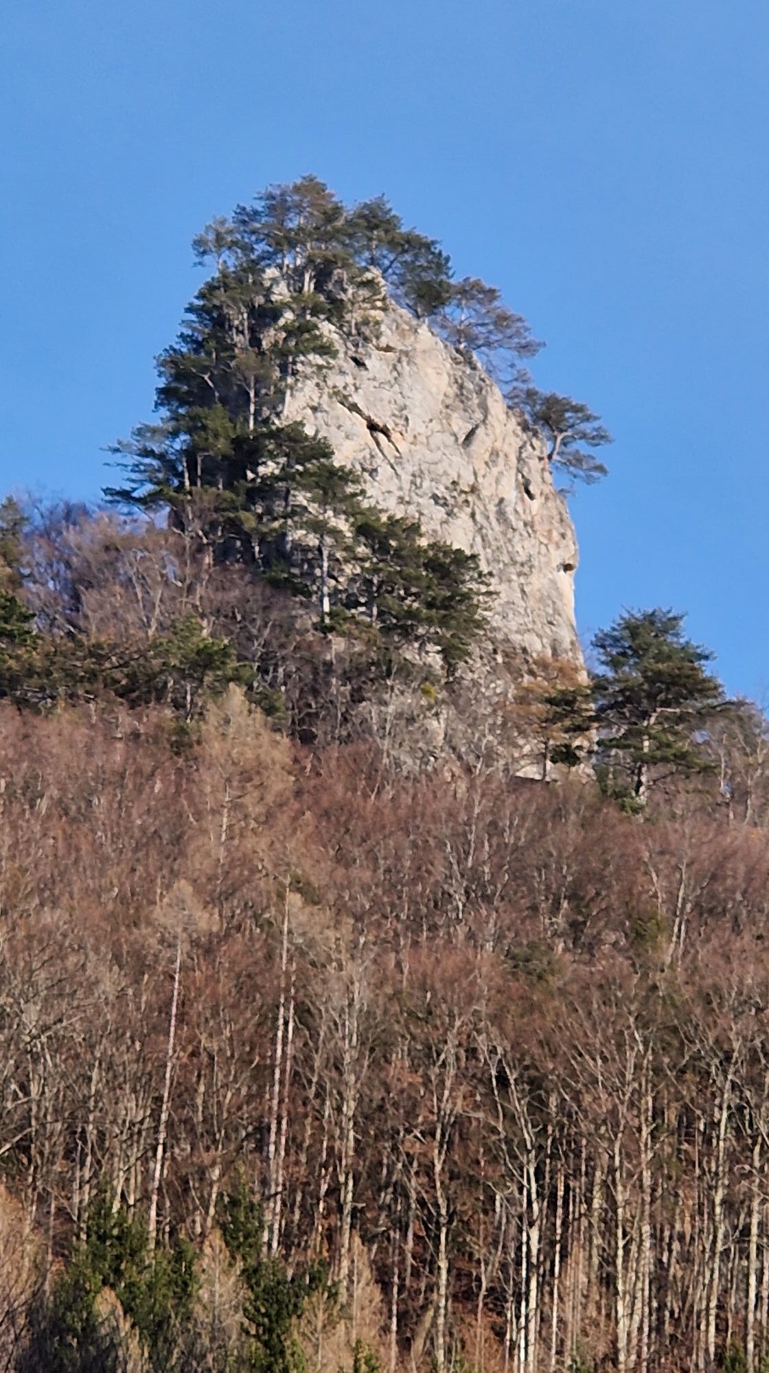
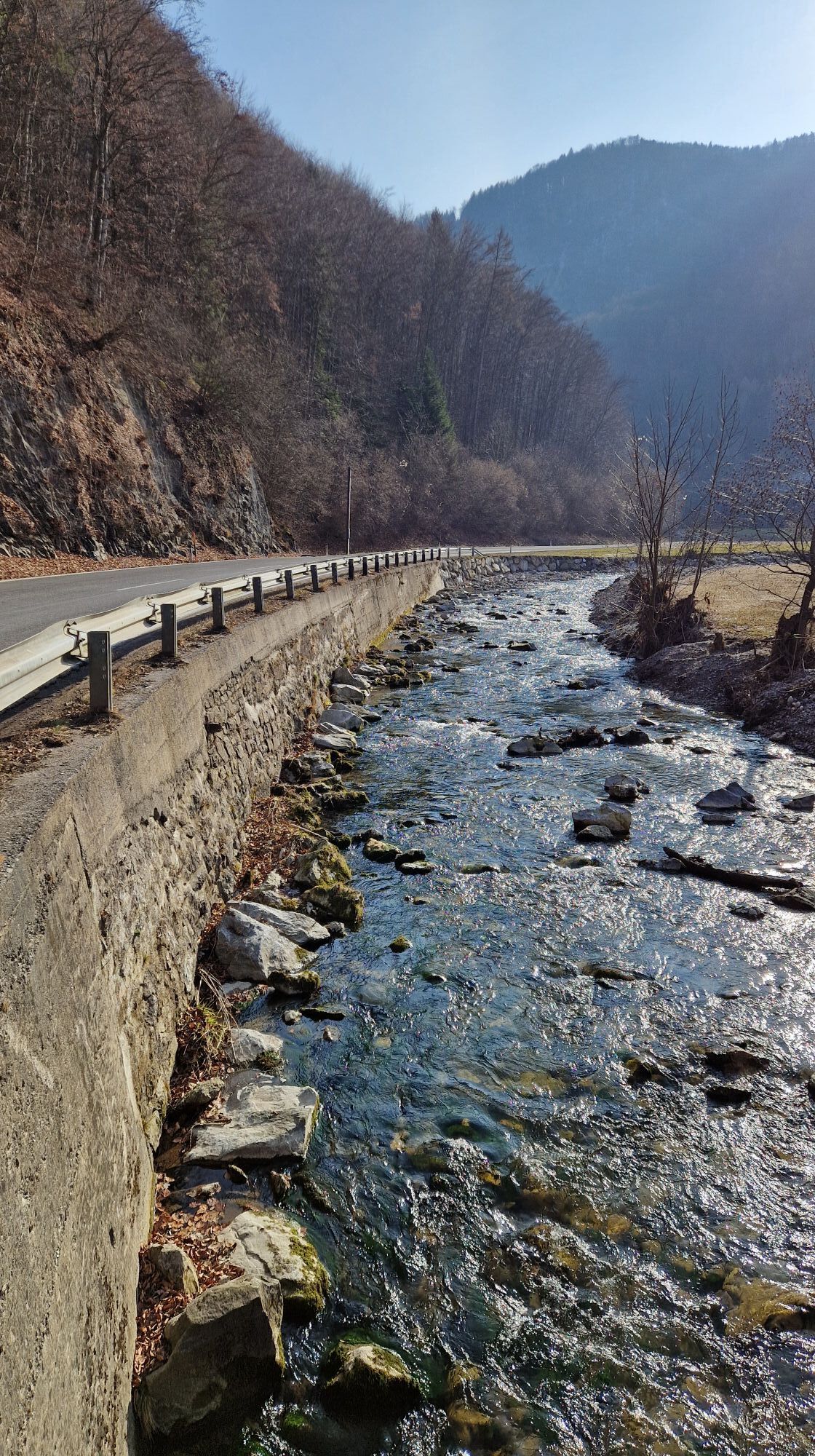
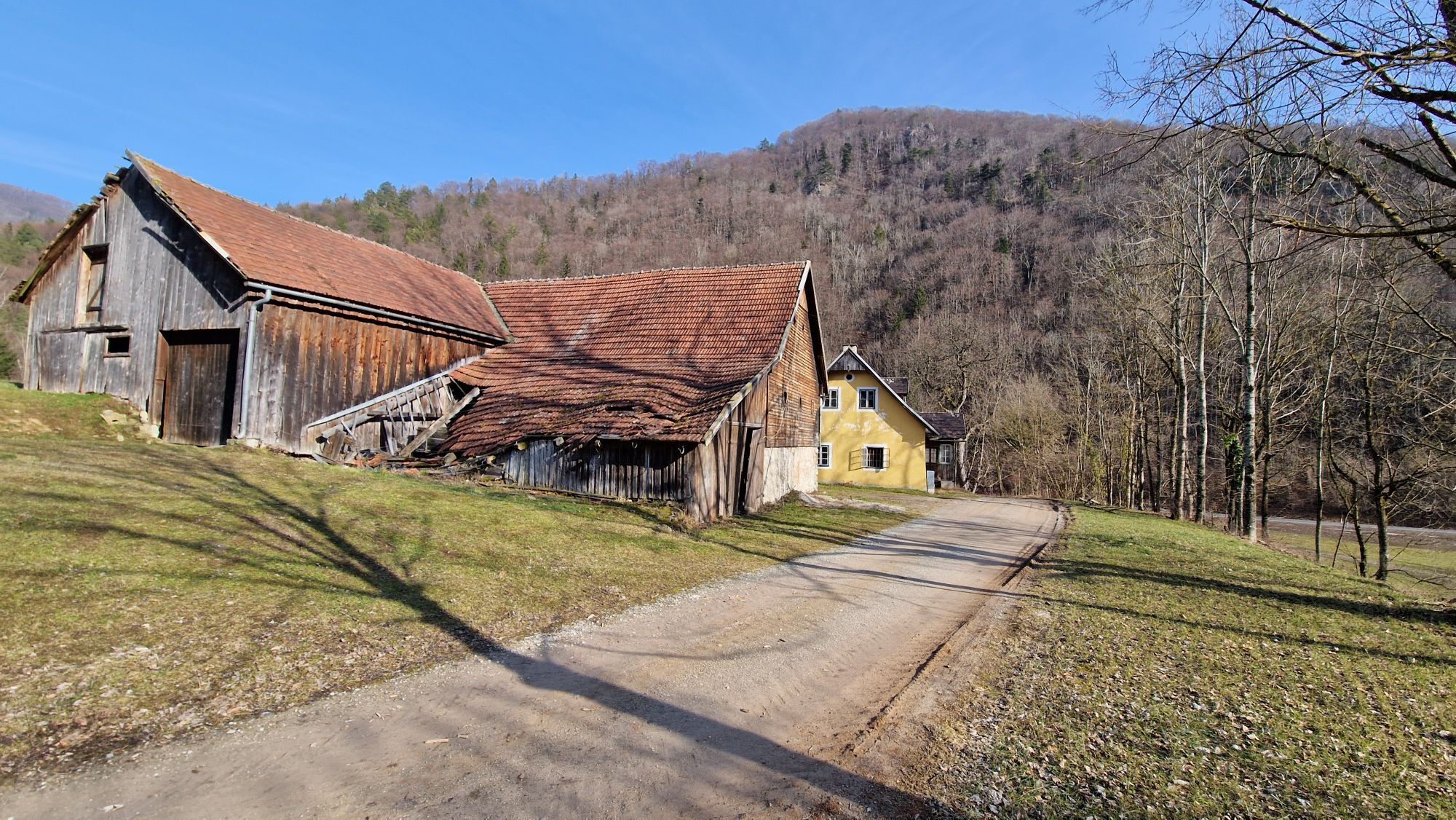
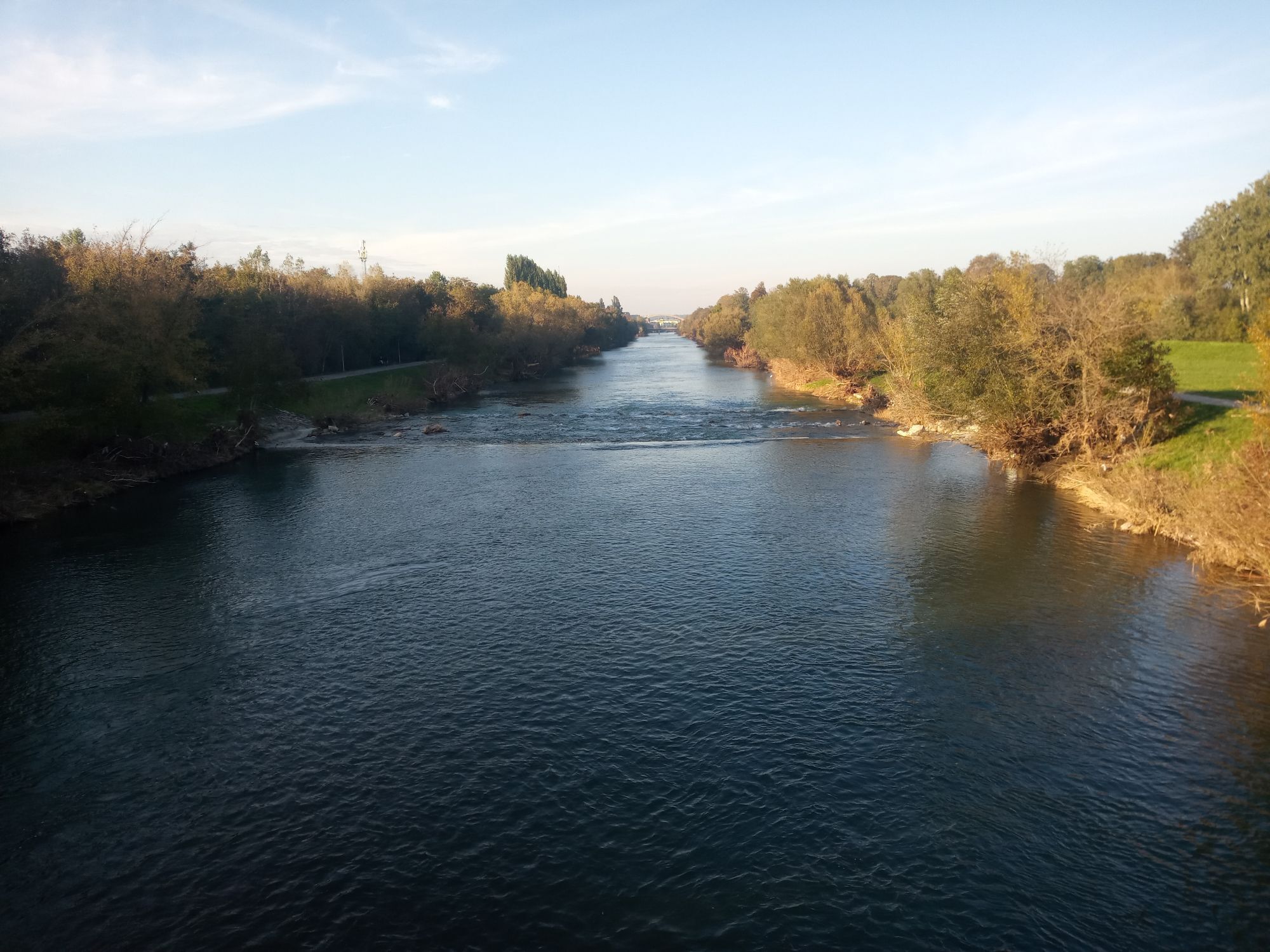
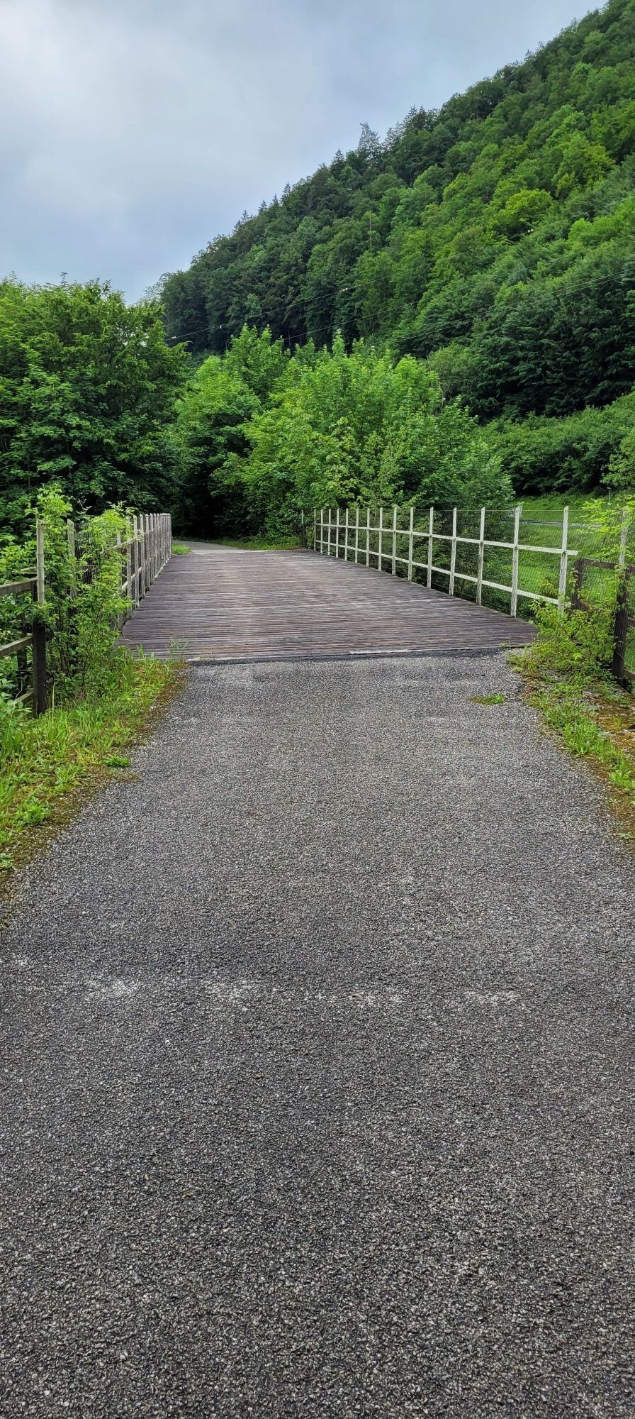
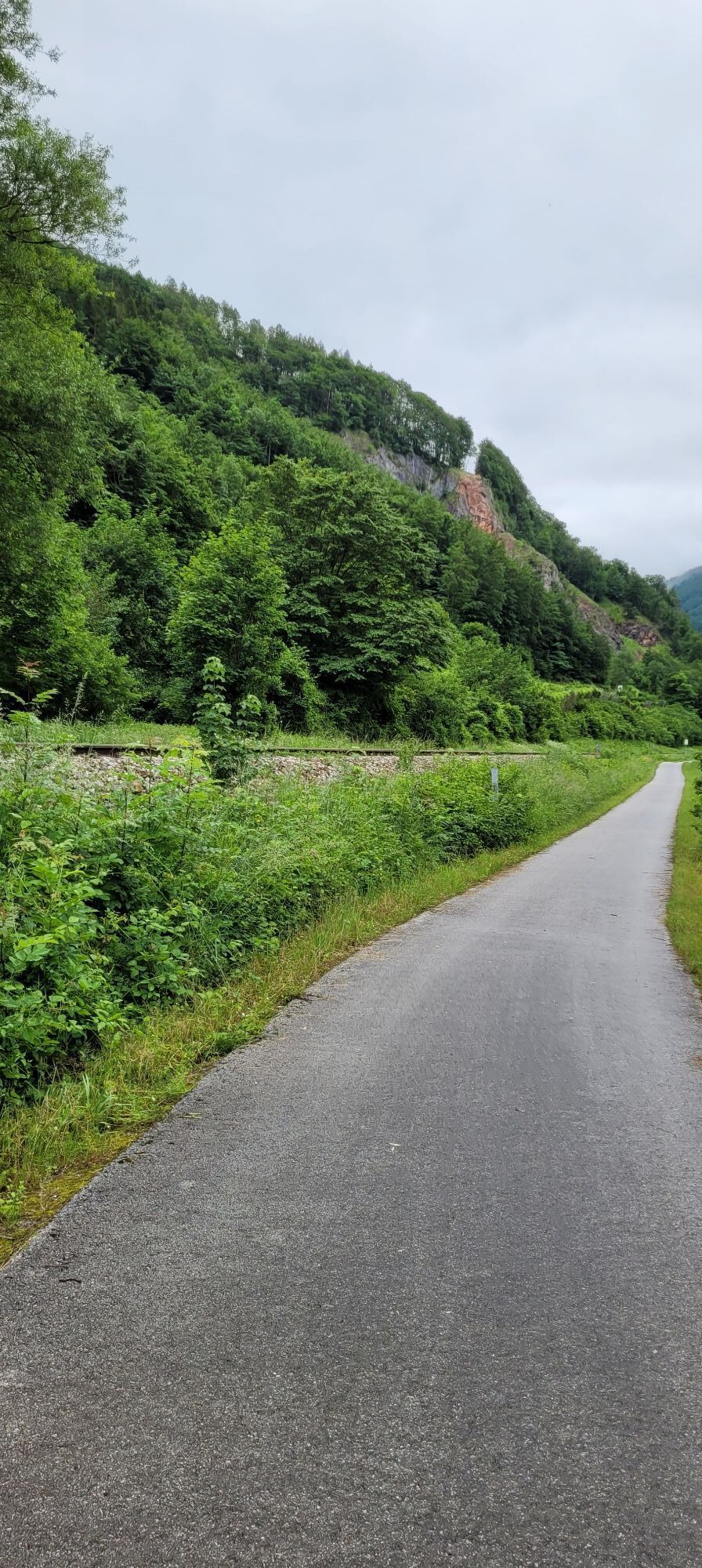
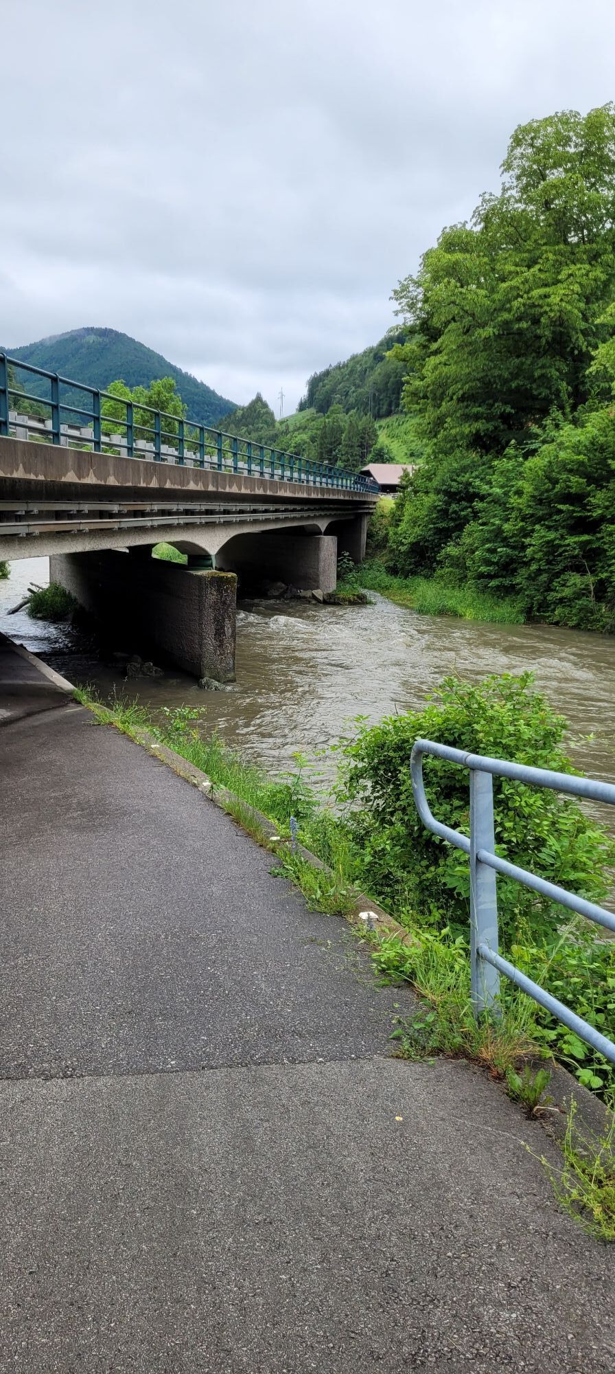
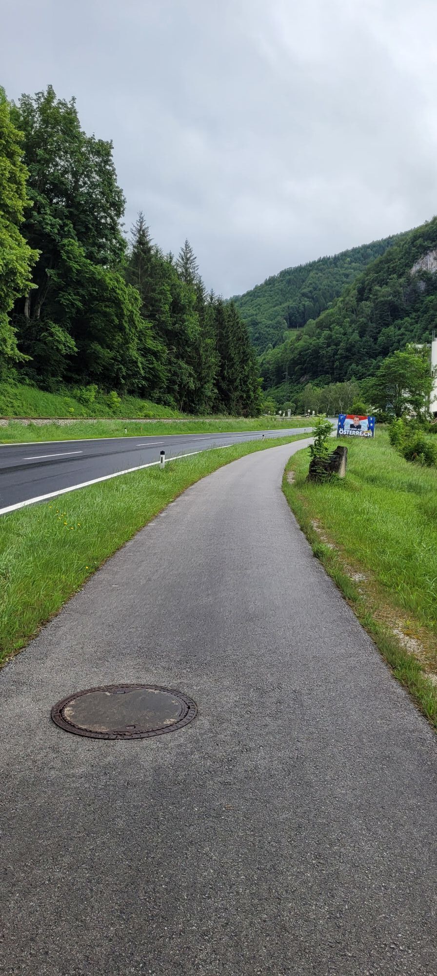
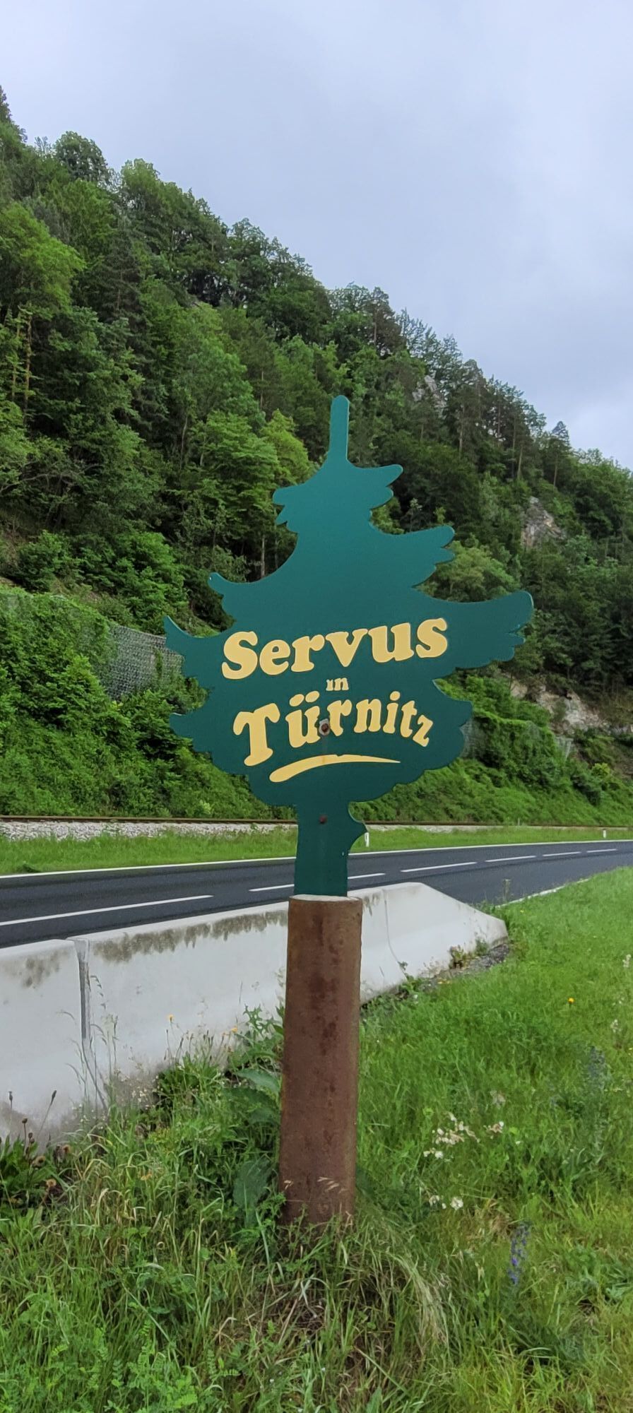
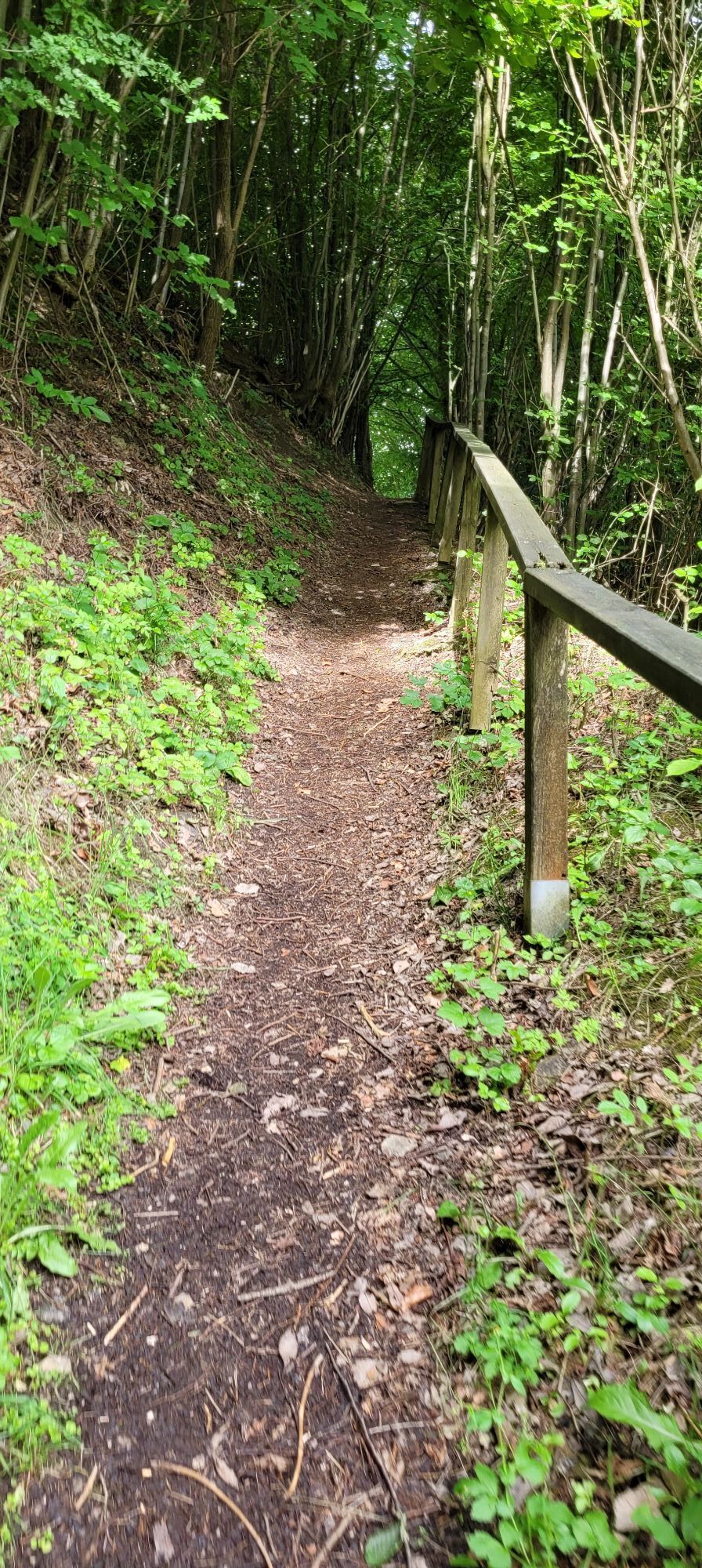
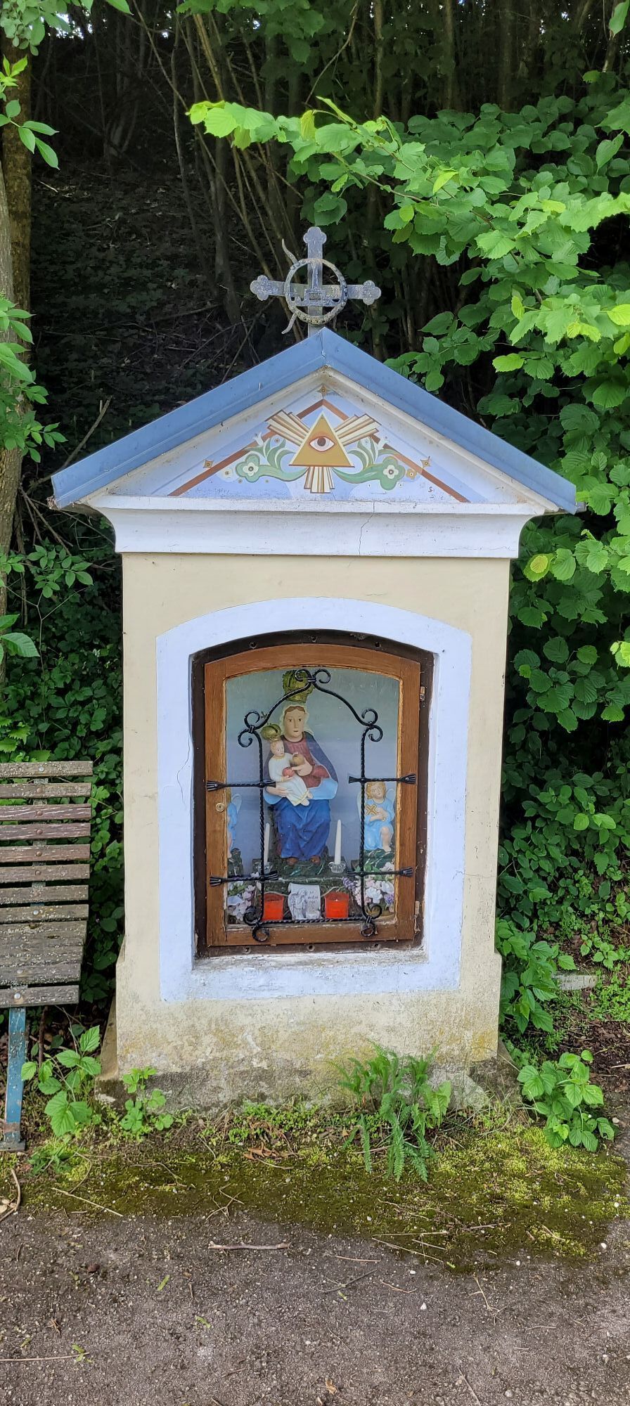
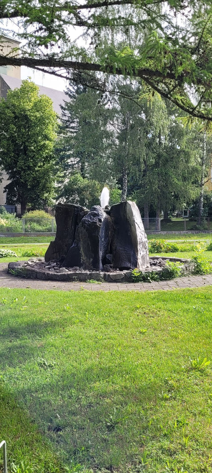
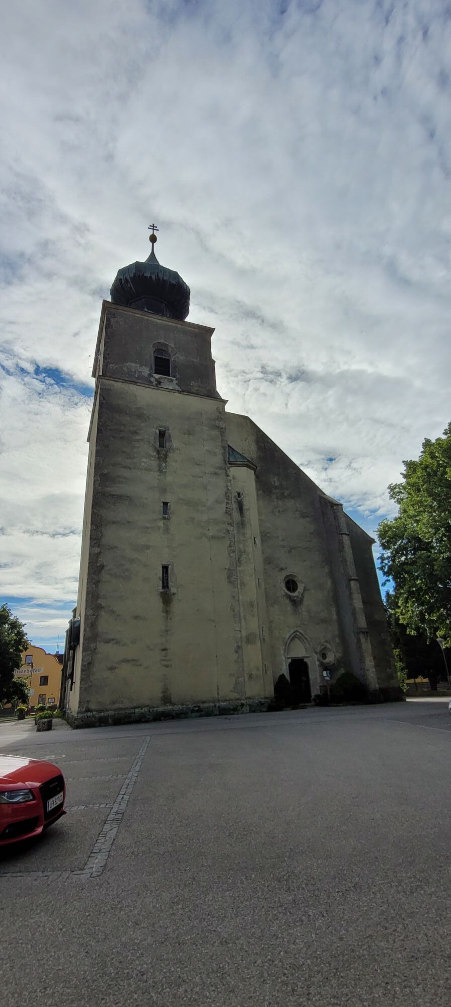
Over 114 kilometers and 1,370 meters in altitude, this challenging road bike route leads into the charming area of the Gutenstein Alps. Before that, you have to conquer the Morigraben, the connection between the Traisen and Pielach valleys, before continuing to the legendary Ochssattel and the Kalte Kuchl (tip: stop off and enjoy a curd cheese/apple strudel). Picturesque valleys, gentle plateaus and dense forests characterize the route, while charming villages such as Eschenau, Hohenberg and Kleinzell provide variety. Perfect for ambitious cyclists looking for nature and a challenge.

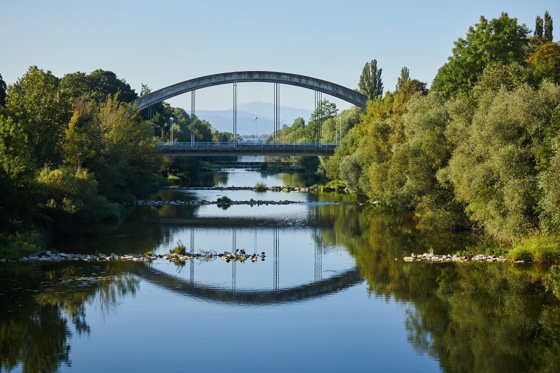
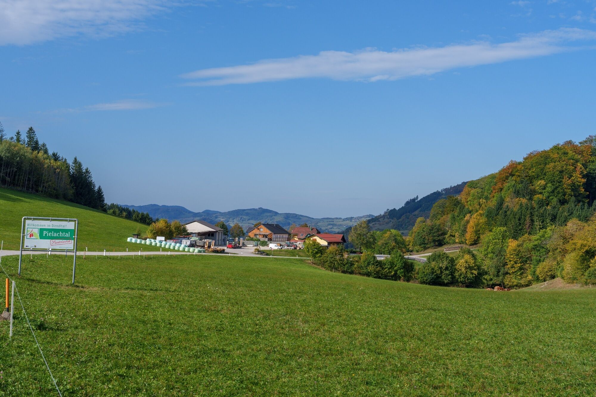
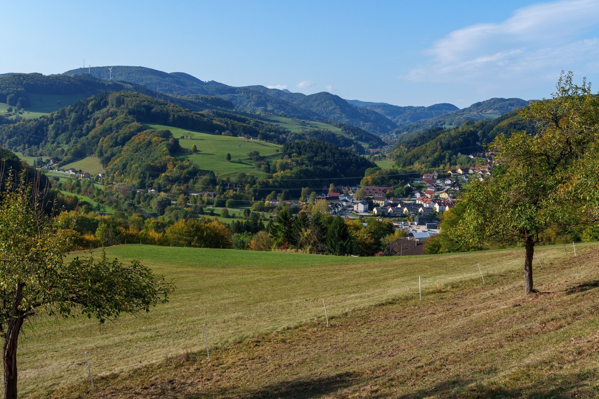
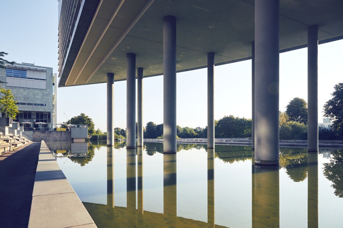
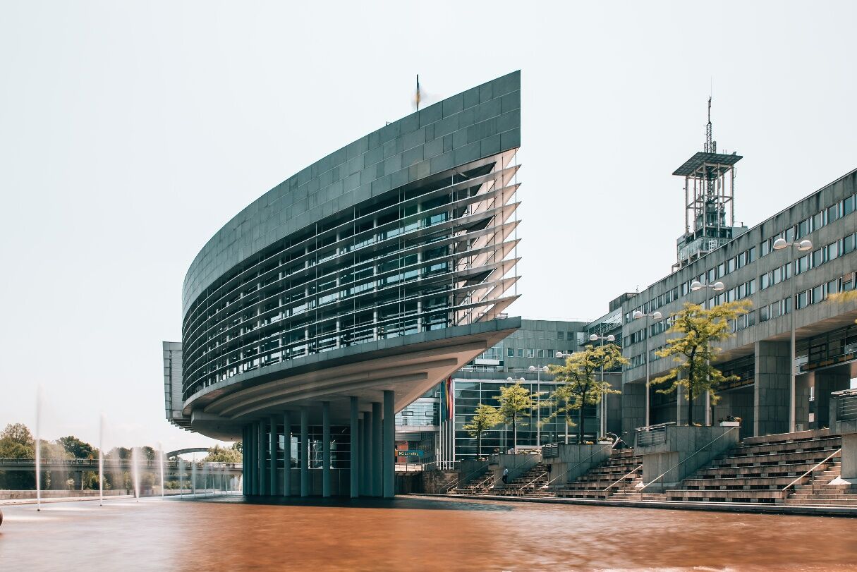
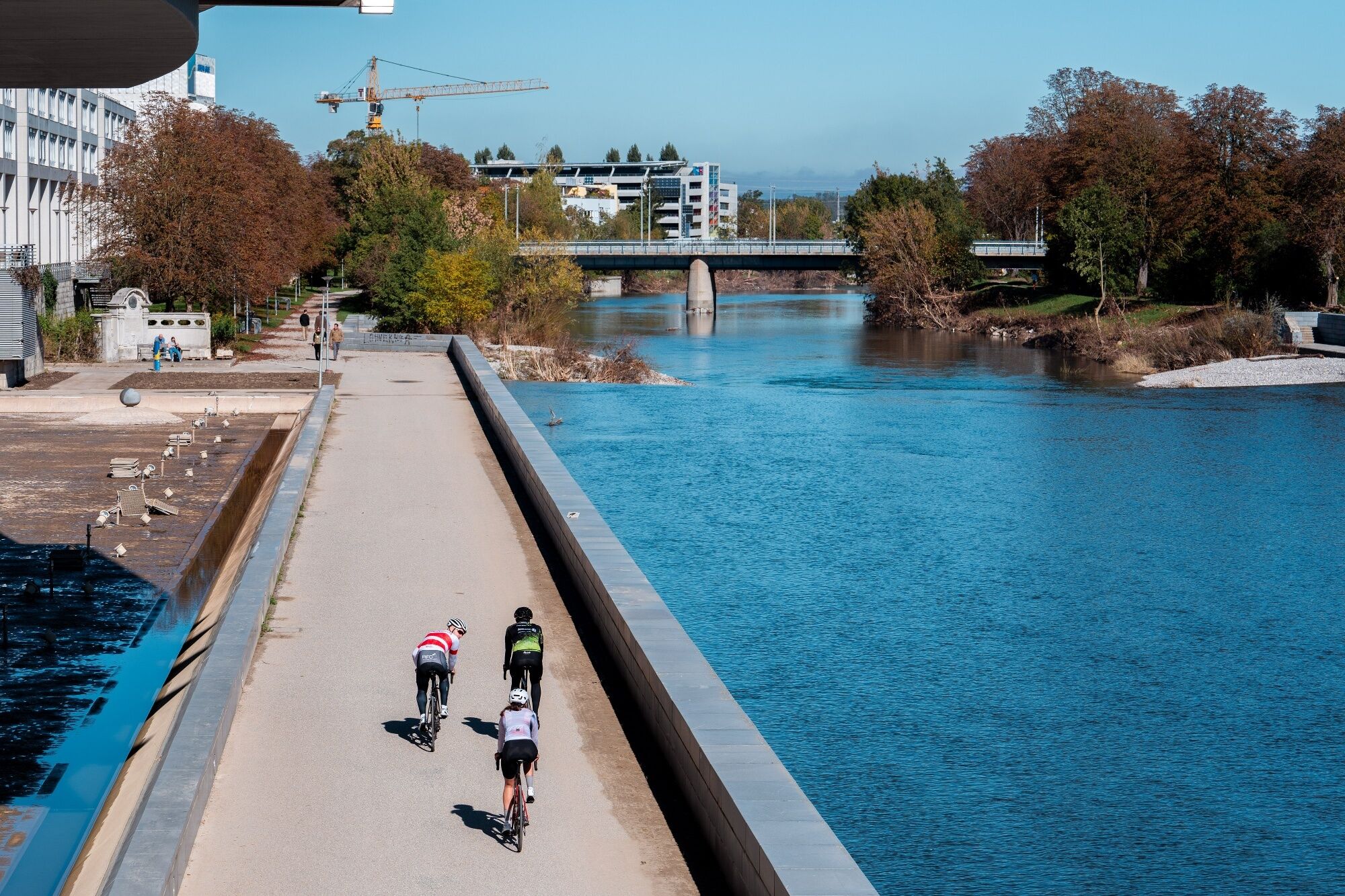
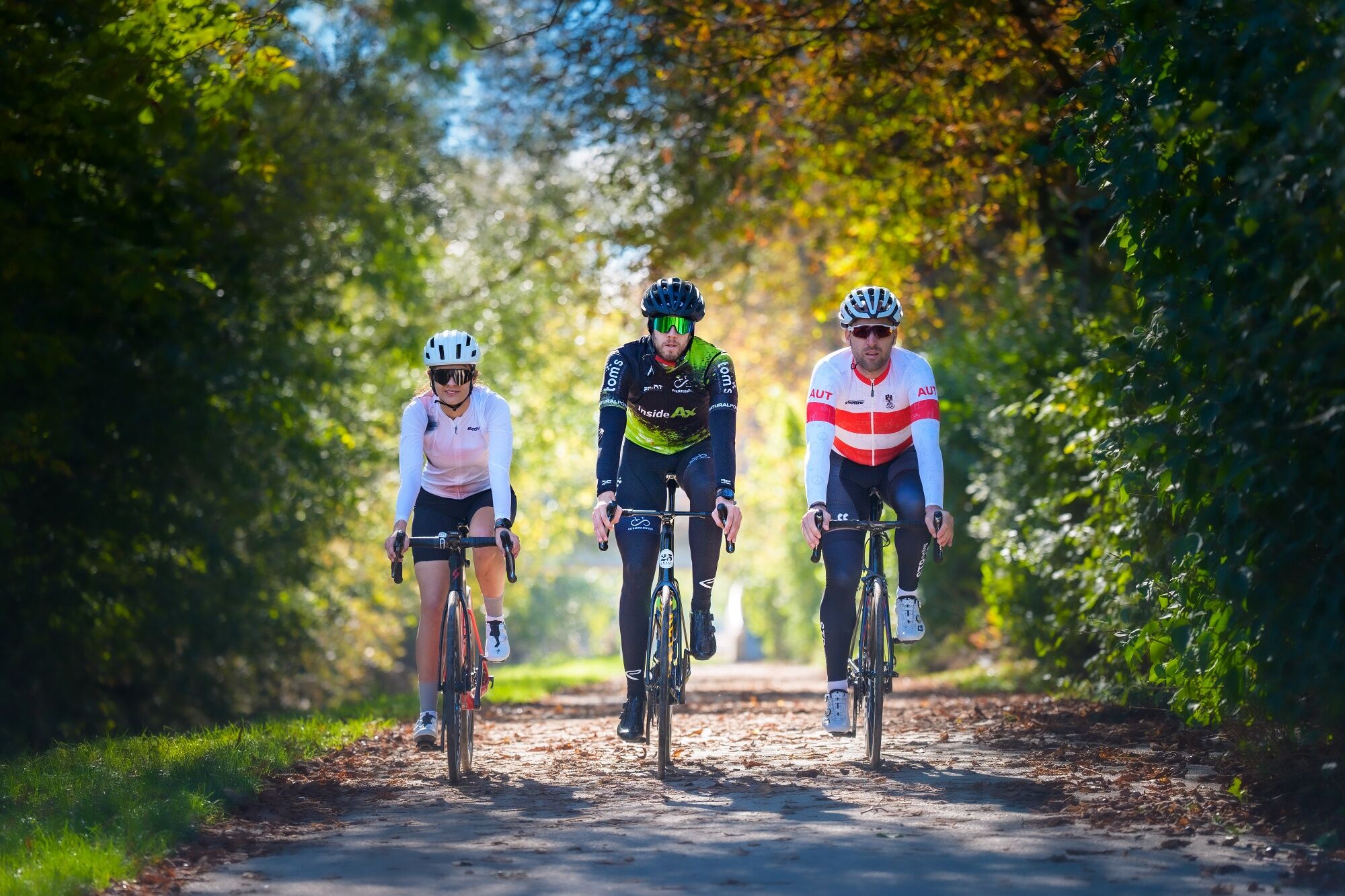

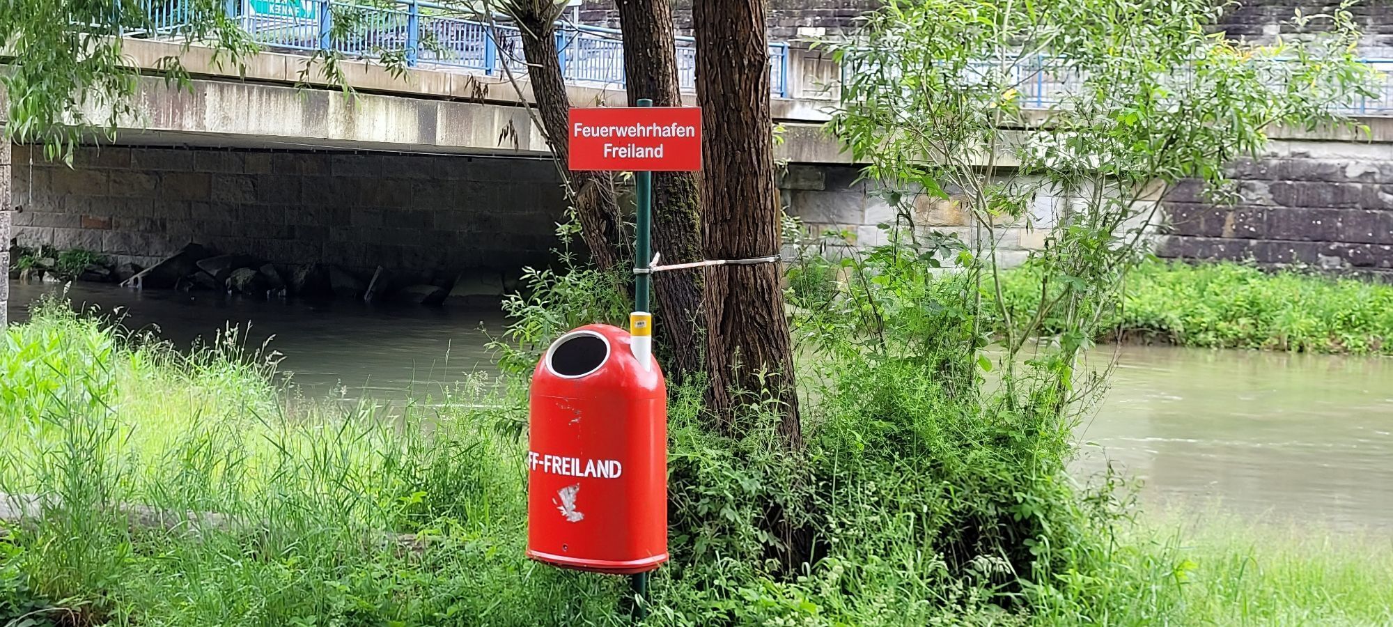
Landhaus St. Pölten – Bike path to Rotheau – Eschenau – Geiseben – Tradigist – Morigraben – Schrambach – Freiland – Hohenberg – Walkmühle – Ochssattel – Kalte Kuchl – Kleinzell – Rainfeld – St. Veit an der Gölsen – Traisen – from Traisen to St. Pölten on the bike path
Access by car via A1 and S33, motorway exit St. Pölten-North or St. Pölten East
St. Pölten is ideally accessible by ÖBB and Westbahn trains. The main station St. Pölten is only a few minutes by bike from the start and end point.
In the area of the government district, paid underground parking spaces are available (partially free of charge in the evenings and on weekends)
www.stpoeltentourismus.at
www.st-poelten.at
Kamery internetowe z trasy
Traisnerhütte
St. Veit an der Gölsen
Staffhütte St. Veit
Hochhaus Rennbahnstraße
Hochhaus Rennbahnstraße
Rabenstein Josef-Franz Hütte
Rabenstein Josef-Franz Hütte
Hainfelder Hütte am Kirchenberg
Hainfelder Hütte am Kirchenberg
Hainfelder Hütte am Kirchenberg
St. Pölten / Viehofen
Kirchberg an der Pielach
Kirchberg an der Pielach

Popularne wycieczki w okolicy
- 5,0
Gutensteiner Alpen: Ebenwaldhöhe - Reisalpe
światłoWędrówka 4,70 km - 4,8
Hohenstein von Sois
średniWędrówka 12,0 km - 4,6
LILIENFELD Grünes Tor Muckenkogel Hinteralm Klosteralm 20201025
średniWędrówka 11,7 km - 4,7
HINTERNASSWALD Großer Sonnleitstein Amais-Wies-Hütte retour 20200801
średniWędrówka 10,5 km - 4,6
Gippelaufstieg (Zögernitz, Türl, Gippel)
średniWędrówka 5,92 km - 4,5
Tour auf den Göller
światłoWycieczki górskie 9,32 km - 4,9
Schrambach Hohenstein Himmel Schrammbach 06.08.2016
średniWędrówka 17 km - 4,6
FURTHOF Dachsgraben Türnitzer Höger Stadelbergkamm Gossental retour 28.08.2018
średniWędrówka 14,4 km - 4,4
Gippel über Gippelmauer
średniWędrówka 12,9 km - 4,4
Hohenstein 1195m - Sois im Pielachtal
światłoWędrówka 10,6 km
Wędrówki i tropienie


Nie przegap ofert i inspiracji na następne wakacje
Twój adres e-mail została dodana do listy mailingowej.





