


Mitterberg – Hochkogel
Zdjęcia naszych użytkowników
-

 © MártiUtworzono dnia 27.09.2025
 -
 © f.rabeUtworzono dnia 21.09.2025
 -
 © f.rabeUtworzono dnia 25.08.2025
 -
 © f.rabeUtworzono dnia 25.08.2025
 -
 © f.rabeUtworzono dnia 02.07.2025
 -
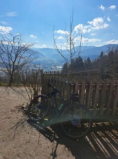
 © David HinczizaUtworzono dnia 13.04.2025
 -
 © f.rabeUtworzono dnia 20.03.2025
 -
 © f.rabeUtworzono dnia 24.02.2025
 -
 © f.rabeUtworzono dnia 24.11.2024
 -
 © f.rabeUtworzono dnia 24.11.2024
 -
 © f.rabeUtworzono dnia 24.11.2024
 -
 © Christian2012655Utworzono dnia 01.11.2022
 -
 © Christian2012655Utworzono dnia 01.11.2022
 -
 © Christian2012655Utworzono dnia 01.11.2022
 -
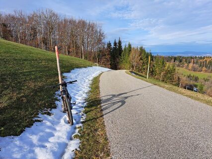
 © f.rabeUtworzono dnia 03.01.2026
 -

 © Klaus Gruber 3Utworzono dnia 09.03.2025
 -
 © Klaus Gruber 3Utworzono dnia 09.03.2025


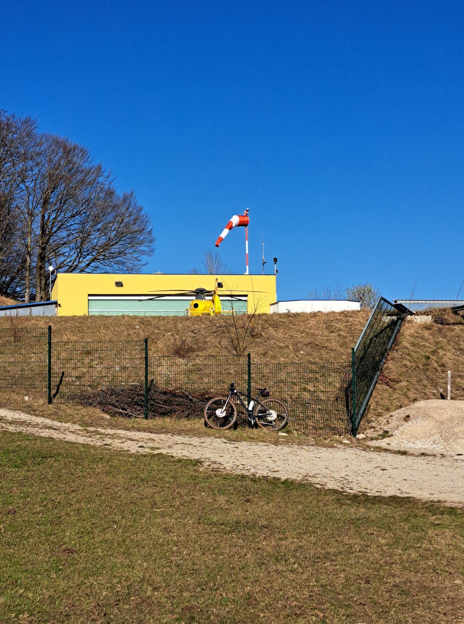


We start slightly uphill into the "Urltal" until the first ascent to the Christophorus helicopter. This is followed by a short, steep descent to the B22, where we turn left and complete the last few meters...
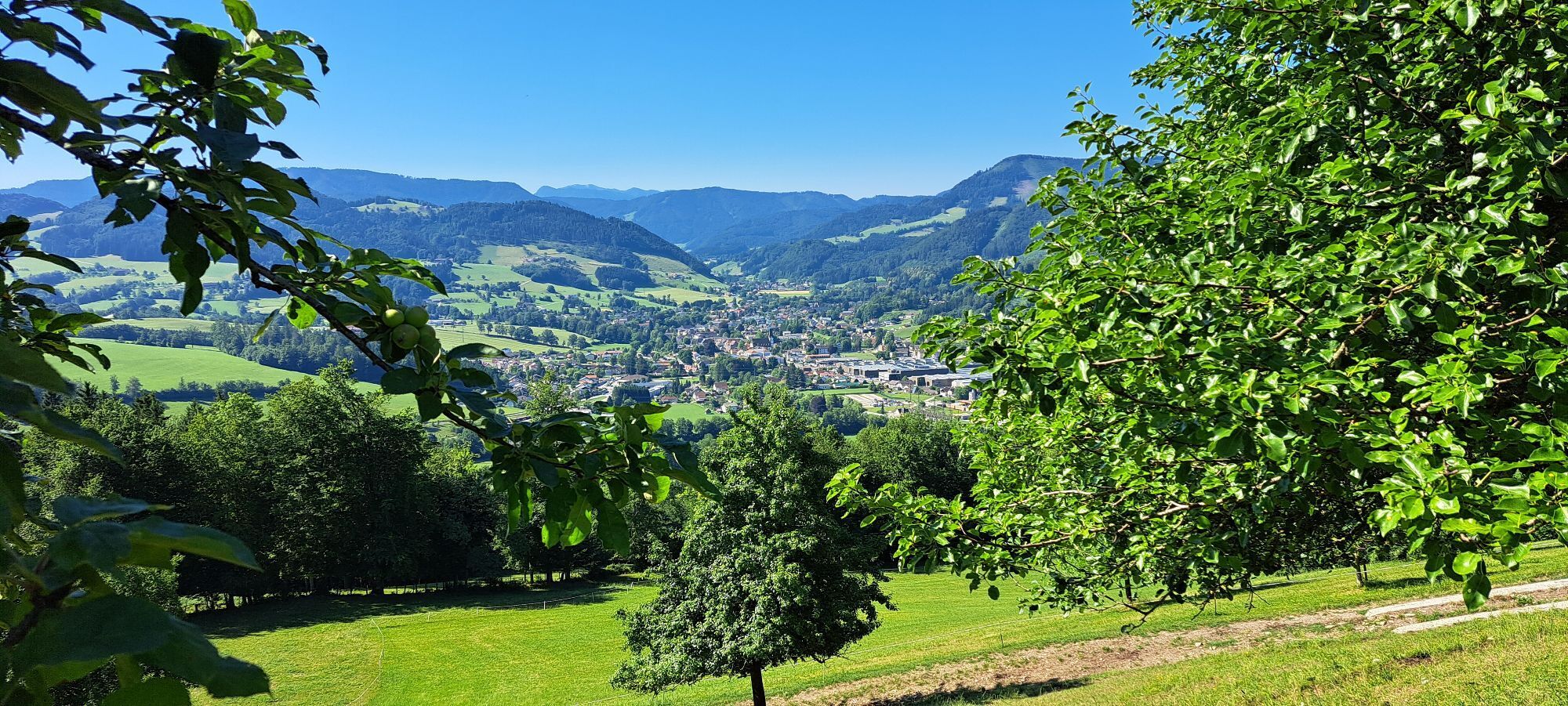
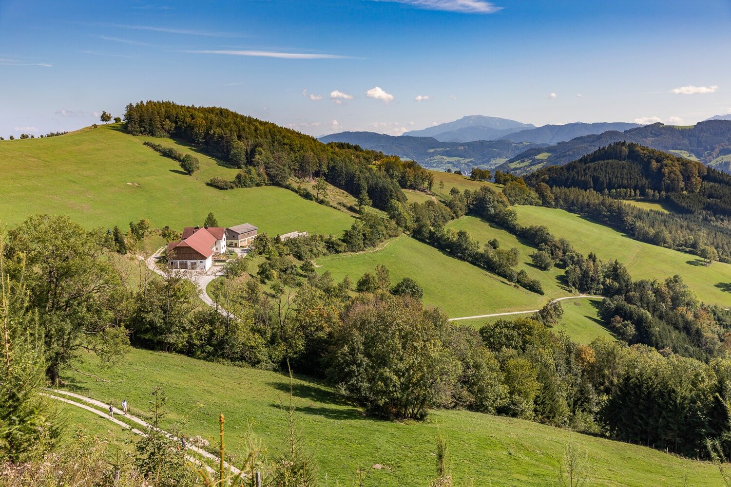
We start slightly uphill into the "Urltal" until the first ascent to the Christophorus helicopter. This is followed by a short, steep descent to the B22, where we turn left and complete the last few meters in altitude to the "Grestner Höhe". The route continues downhill to Gresten - straight ahead - before turning left onto the "Mitterberg" at the end of the following ascent. This ascent continues for several kilometers and is followed by a winding descent down to the L96 into the small Erlauftal valley.
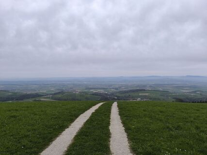
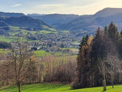
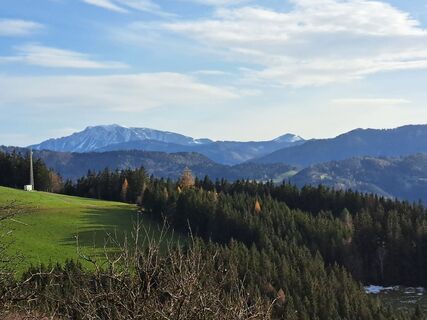
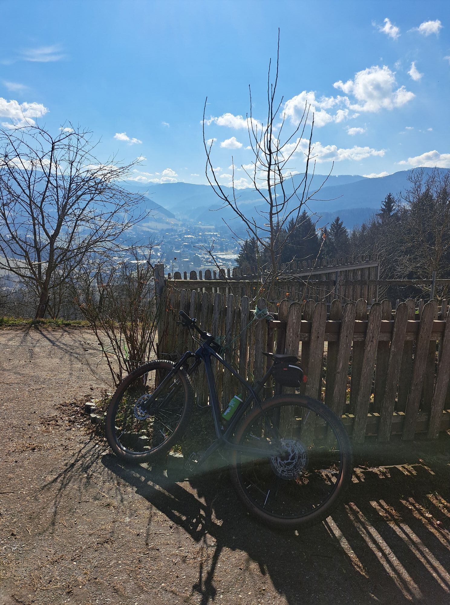
After Perwarth and Randegg, where we turn right twice towards Amstetten, the ascent to the Hochkogel follows. At the inn, turn left into the narrow road and cover the last few meters to the highest (viewing) point of the tour.
This is followed by a hilly section before turning right onto a small road and, after a beautiful panoramic descent, rolling along the L92 towards Kröllendorf and Allhartsberg. From Allhartsberg, the route leads back to Waidhofen via small, winding side roads.

Waidhofen an der Ybbs - Urltalstraße towards St. Leonhard/Walde - after 4 km turn right towards "Putzmühle" (L6190) - climb to the Christophorus helicopter landing site - right descent towards B22 - left onto B22 - Grestner Höhe - Gresten - B22 - after 1 km in the settlement "Weidach" sharp left towards Mitterberg (map and GPS track follow!) - shortly after the highest point turn left towards L96 - L96 - Perwarth - Randegg - turn right towards St. Leonhard am Walde - Schliefau - turn right onto L6112 towards Amstetten - Hochkogel - at the highest point of the main road turn sharply left - access road towards St. Leonhard - after approx. 5 km turn right (GPS track!) - descent to L92 - turn right onto L6202 - Allhartsberg - shortly before Hilm turn left - Windberg - Rosenau - Bruckbach - B121 or Ybbstal cycle path - before Ybbs bridge in Böhlerwerk turn left onto right Ybbs riverbank - Waidhofen an der Ybbs
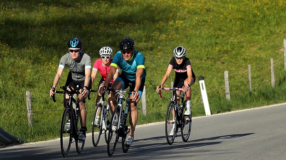
Road bike (translation of e.g. 34/27 is recommended)
Caution at the end of the short steep descent from the helicopter landing site! Often gravel intersection and poorly visible crossing.
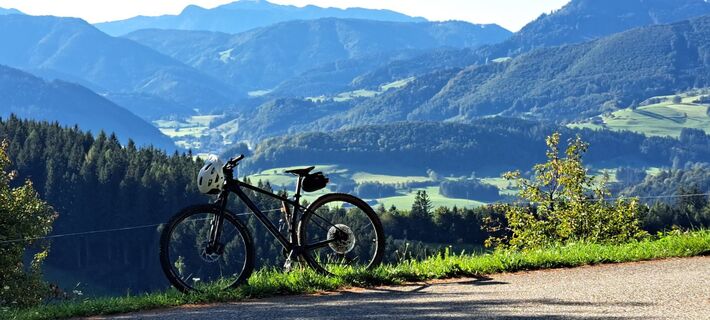
Partly narrow and sharp curves from Mitterberg down into the small Erlauftal - beware of oncoming traffic.
Coming from the A1 motorway: exit Amstetten West, B121 to Waidhofen an der Ybbs
Arrival by ÖBB (Rudolfsbahn) from/via Amstetten.
You can take your bicycle on most regional and long-distance trains. In Austria, you need a special bike ticket for this; you can also buy weekly or monthly tickets for your bike. For international routes, ÖBB offers the Biking International Ticket.
There are several Park & Ride options: http://waidhofen.at/parkplaetze
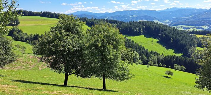
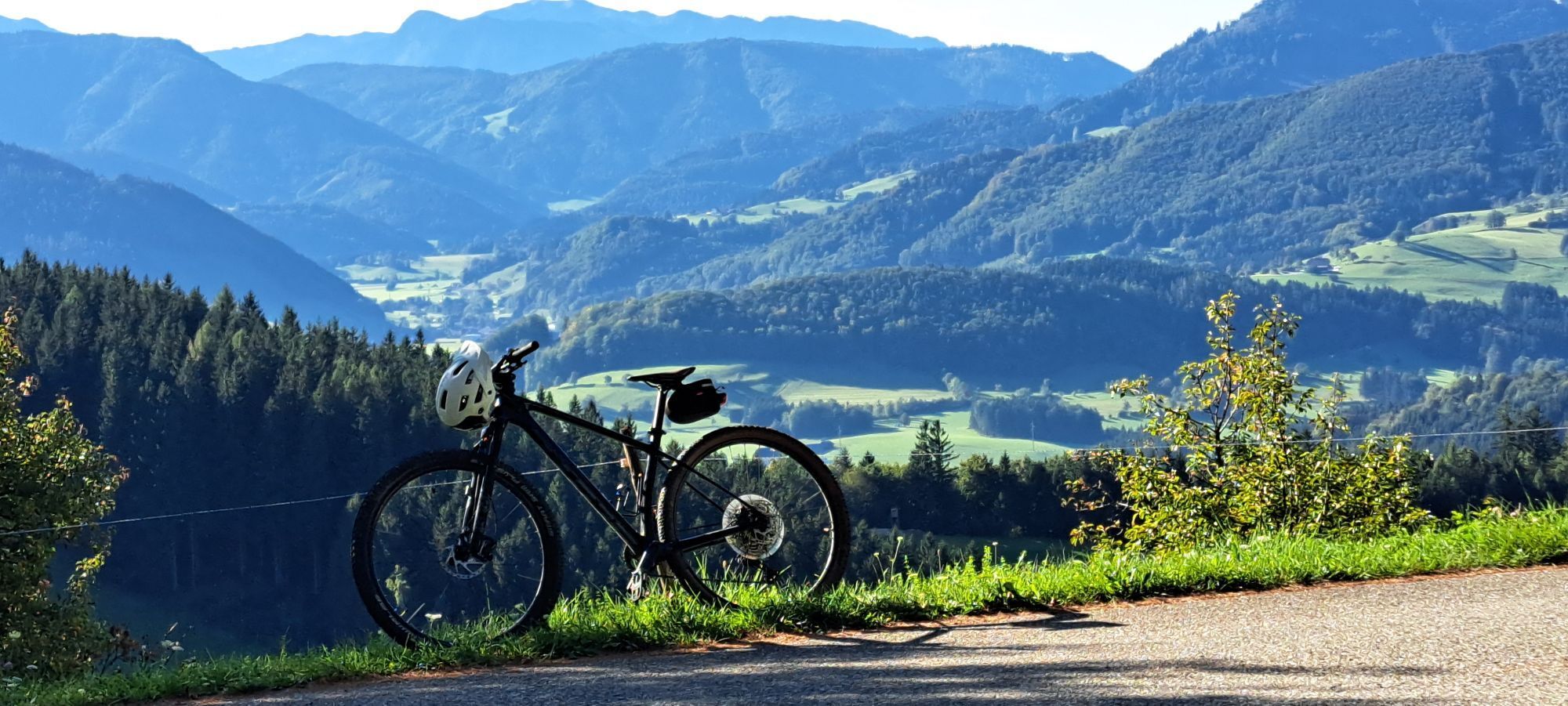
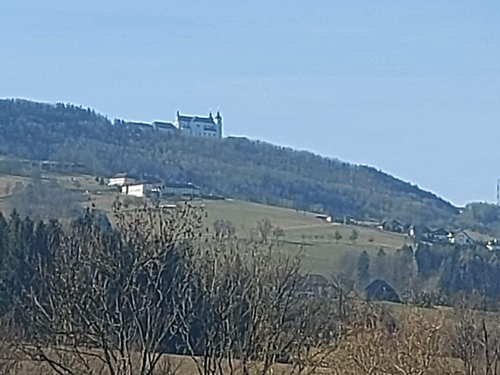
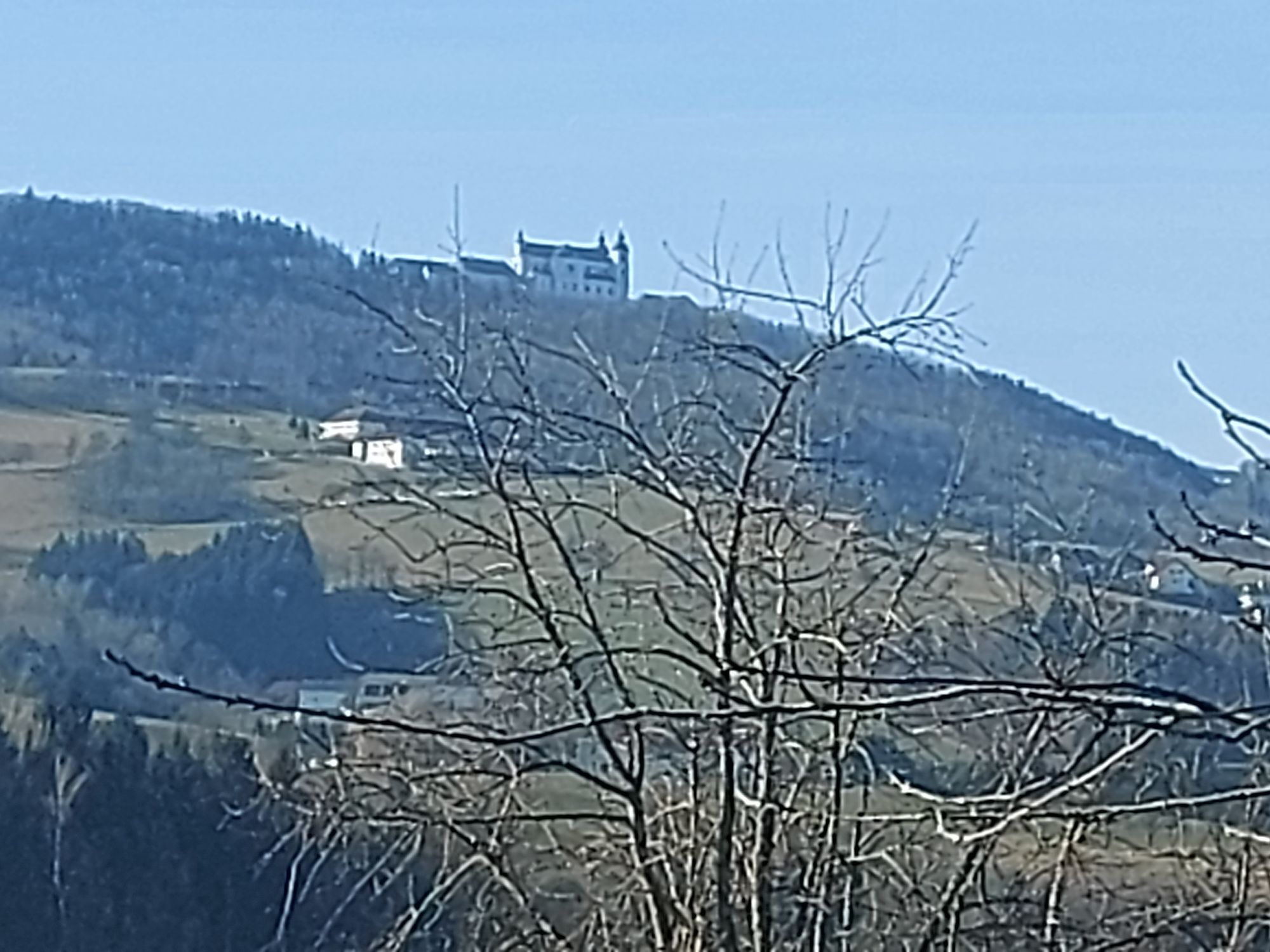
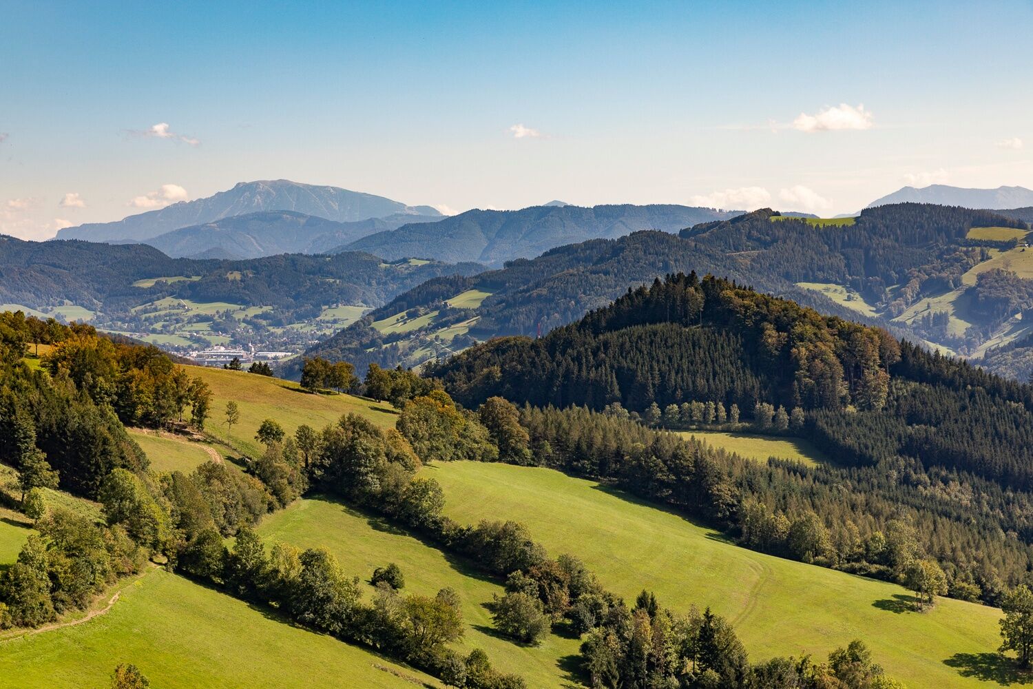
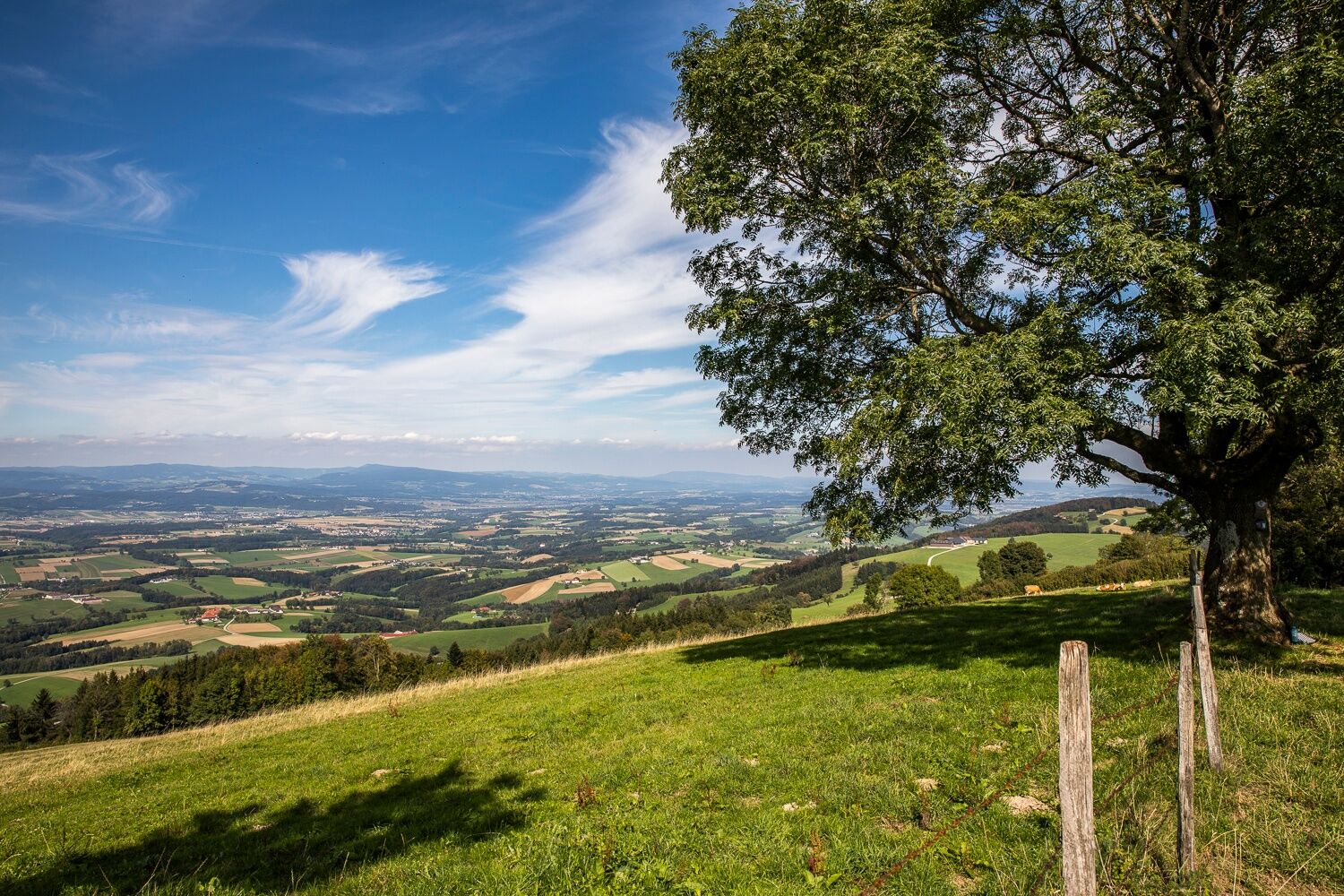
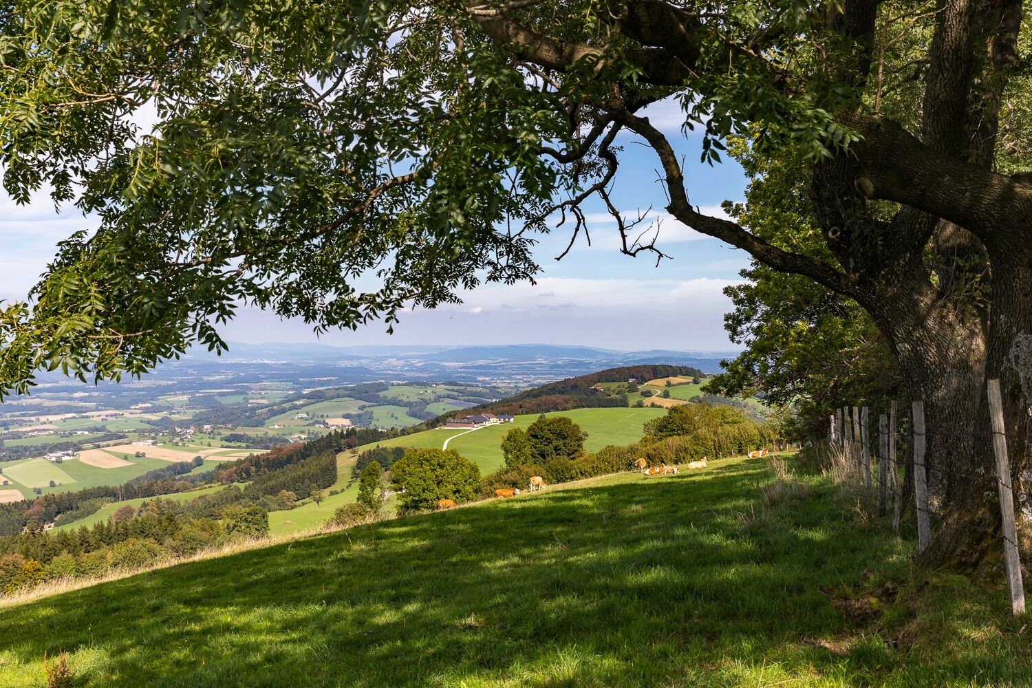
At Hochkogel slow down and enjoy the view! Right Alpine foothills, Danube - left Ötscherland, mountains.
Popularne wycieczki w okolicy
-
4,3
Prochenberg von Ybbsitz
światłoWędrówka 6,29 km -
4,6
Opponitz Gorge Hiking Trail
średniWędrówka 4,42 km -
5,0
Prochenbergrunde
średniWędrówka 5,96 km -
4,4
Kappleralm Runde
światłoWędrówka 6,65 km -
3,0
Rundwanderung Windhag - St. Leonhard - St. Aegidi
światłoWędrówka 15,2 km -
4,7
Prochenberg von Maria Seesal
średniWędrówka 9,20 km -
Prochenberg und Ida-Pfeiffer-Strecke
średniMountainbike 44,2 km -
4,3
Schwarzenberg
światłoWędrówka 4,54 km -
4,2
YBBSITZ Bauernschrotmühl Haselsteinwand Prochenberg Die Noth Maisberg 20200527
średniWędrówka 14,8 km -
4,2
Ybbsitz - Maisberg - Schmiedemeile
średniWędrówka 11 km
Wędrówki i tropienie


Nie przegap ofert i inspiracji na następne wakacje
Twój adres e-mail została dodana do listy mailingowej.