


Reinsberg circuit
Poziom trudności: 4
Zdjęcia naszych użytkowników
 © f.rabeUtworzono dnia 21.10.2025
 © schoenfalterUtworzono dnia 03.05.2025
 © f.rabeUtworzono dnia 20.03.2025
 © Christian2012655Utworzono dnia 01.11.2022
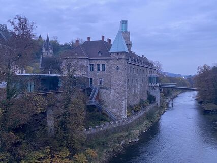 © Christian2012655Utworzono dnia 01.11.2022
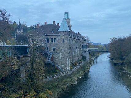 © Christian2012655Utworzono dnia 01.11.2022
 © f.rabeUtworzono dnia 03.01.2026
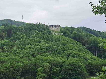
 © Daniel WagnerUtworzono dnia 25.05.2025
 © Klaus Gruber 3Utworzono dnia 10.05.2025
 © Klaus Gruber 3Utworzono dnia 10.05.2025
 © Klaus Gruber 3Utworzono dnia 10.05.2025
 © Klaus Gruber 3Utworzono dnia 10.05.2025
 © Klaus Gruber 3Utworzono dnia 10.05.2025
 © Klaus Gruber 3Utworzono dnia 10.05.2025
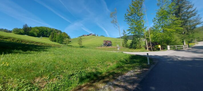 © Klaus Gruber 3Utworzono dnia 10.05.2025
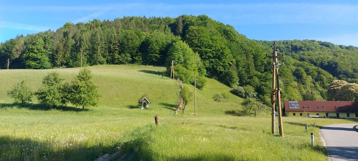 © Klaus Gruber 3Utworzono dnia 10.05.2025
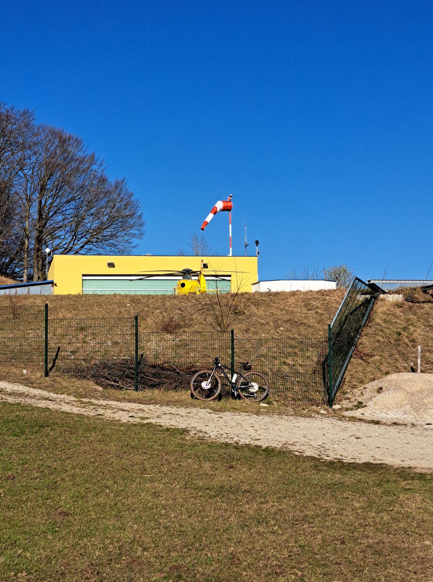


We start into the "Urltal", over the climbs to the Christophorus helicopter landing site and the Grestner Höhe continuing downhill to Gresten. Here straight on until after 3 km the turnoff to Reinsberg...
We start into the "Urltal", over the climbs to the Christophorus helicopter landing site and the Grestner Höhe continuing downhill to Gresten. Here straight on until after 3 km the turnoff to Reinsberg is reached. There turn right onto L6155.
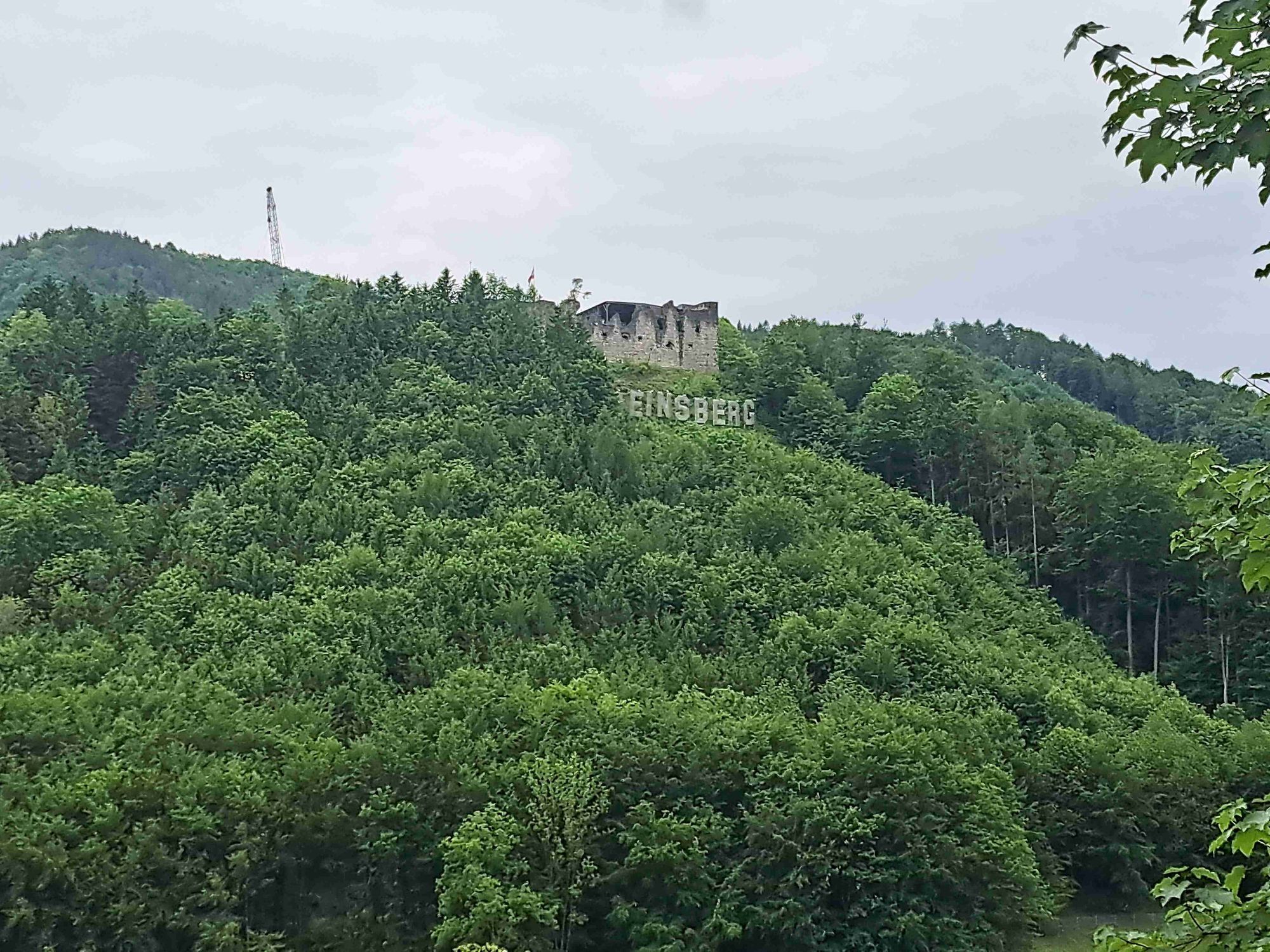
Immediately after passing through Reinsberg a 3 km long climb begins. This is followed by a descent with some partially unclear curves - caution!
In the valley we turn right at the junction to L92 towards Gresten, but soon leave it again sharply left towards "Zellhof" onto L6169. After 1 km now right towards Maria Seesal to a really tough climb over 2 km - made for "mountain goats"!
The following descent is nicknamed "100er-Berg" and requires full concentration with nearly 20% downhill on a straight road. Personal top speeds are not uncommon here, but CAUTION: after the steep forest section it gets curvier -> brake!
Via Ybbsitz and the B22 it finally rolls back quickly to Waidhofen.

Waidhofen an der Ybbs/Castle Hotel - Urltalstraße towards St. Leonhard am Walde L93 - after 4 km on the L6190 right towards "Putzmühle" - climb to the Christophorus helicopter landing site - right descent towards B22 - left onto B22 - Grestner Höhe - Gresten - B22 - after 4 km right towards Reinsberg onto L6155 - Reinsberg - climb to Reinsberg - descent to L92 - right towards Gresten - after approx. 4 km left onto L6169 - after 1 km right towards Maria Seesal - "100er-Berg" - descent towards Ybbsitz - Untermühl - right towards Ybbsitz - left onto B22 - Ybbsitz - Waidhofen an der Ybbs
Road bike (translation of e.g. 34/27 is recommended, the last kilometer on the last hill has almost 20%)
Careful at the junction of the helicopter descent onto federal road B22. Often gravelly intersection and poorly visible junction after high speed.
Watch out for sharp and sometimes narrowing curves on the descent from Reinsberg!
At the end of the steep descent from the "100er-Berg" do not brake too late - the following curve is tighter at this speed than it looks, and watch out for oncoming traffic!
Coming from the A1 motorway: exit Amstetten West, B121 to Waidhofen an der Ybbs
Arrival with ÖBB (Rudolfsbahn) from/via Amstetten.
You can take your bike on most local and long-distance trains. In Austria, you need a special bike ticket for this, and you can also buy weekly or monthly passes for your bike. For international routes, ÖBB offers the Biking International Ticket.
There are several Park & Ride options: http://waidhofen.at/parkplaetze
4
Tourism IG Ybbstaler Alps
Schlossweg 2
3340 Waidhofen/Ybbs
www.ybbstaler-alpen.at/rennrad
+43-7442-93049
Pace yourself well as each climb is more difficult than the previous one!
Popularne wycieczki w okolicy
- 4,3
Rund um den smaragdgrünen Lunzer See
światłoWędrówka 4,80 km - 4,8
Panoramic summit Maiszinken - alpine experience included
średniWędrówka 12,6 km - 4,5
Gföhler Alm - Rainstock - Schleierfall
średniWędrówka 13,6 km - 4,6
Opponitz Gorge Hiking Trail
średniWędrówka 4,42 km - 4,3
Prochenberg von Ybbsitz
światłoWędrówka 6,29 km - 4,1
wanderung auf den alpl
średniWędrówka 8,18 km - 4,4
Kappleralm Runde
światłoWędrówka 6,65 km - 5,0
Prochenbergrunde
średniWędrówka 5,96 km - 3,7
GeBIERgsweg Gaming
światłoWędrówka 6,51 km - 4,3
Friesling (1340m) ab Parkplatz Grosse Kripp
średniWędrówka 9,01 km
Wędrówki i tropienie


Nie przegap ofert i inspiracji na następne wakacje
Twój adres e-mail została dodana do listy mailingowej.