Nawigacja
Pobierz tę trasę na swój telefon komórkowy
Mapa
Panoramic road bike route through the Bucklige Welt
ciężki
Droga rowerowa
114,81 km
Zeskanuj kod QR i rozpocznij nawigację w aplikacji bergfex.
QR Code
Wędrówki i tropienie

Panoramic road bike route through the Bucklige Welt

Odległość
114,8 km
Czas trwania
05:45 h
Ascent
1 657 hm
Poziom morza
271 - 838 m

Poziom trudności: 2
Ścieżka do pobrania
Mapa
Panoramic road bike route through the Bucklige Welt
ciężki
Droga rowerowa
114,81 km

Zdjęcia naszych użytkowników

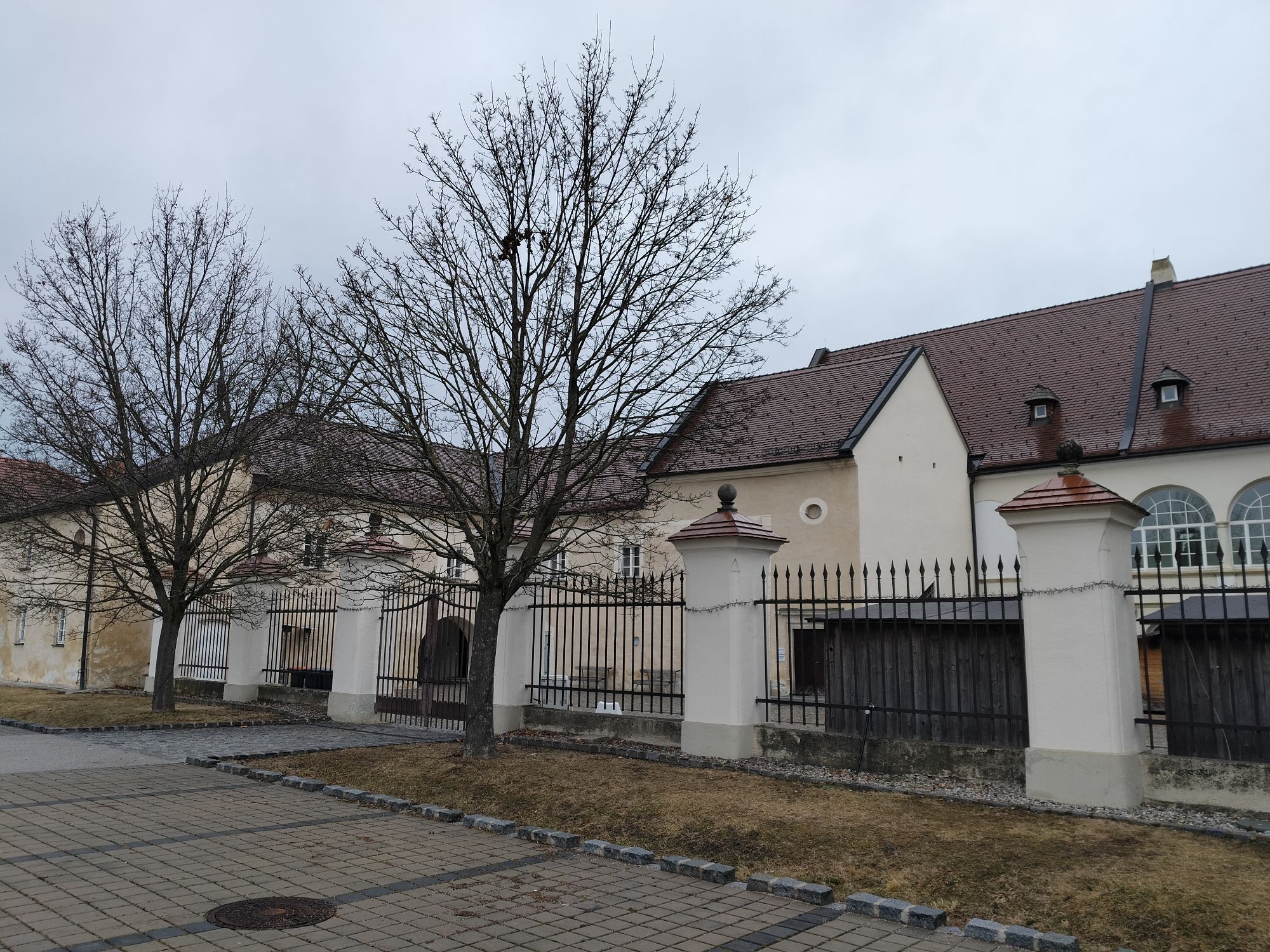
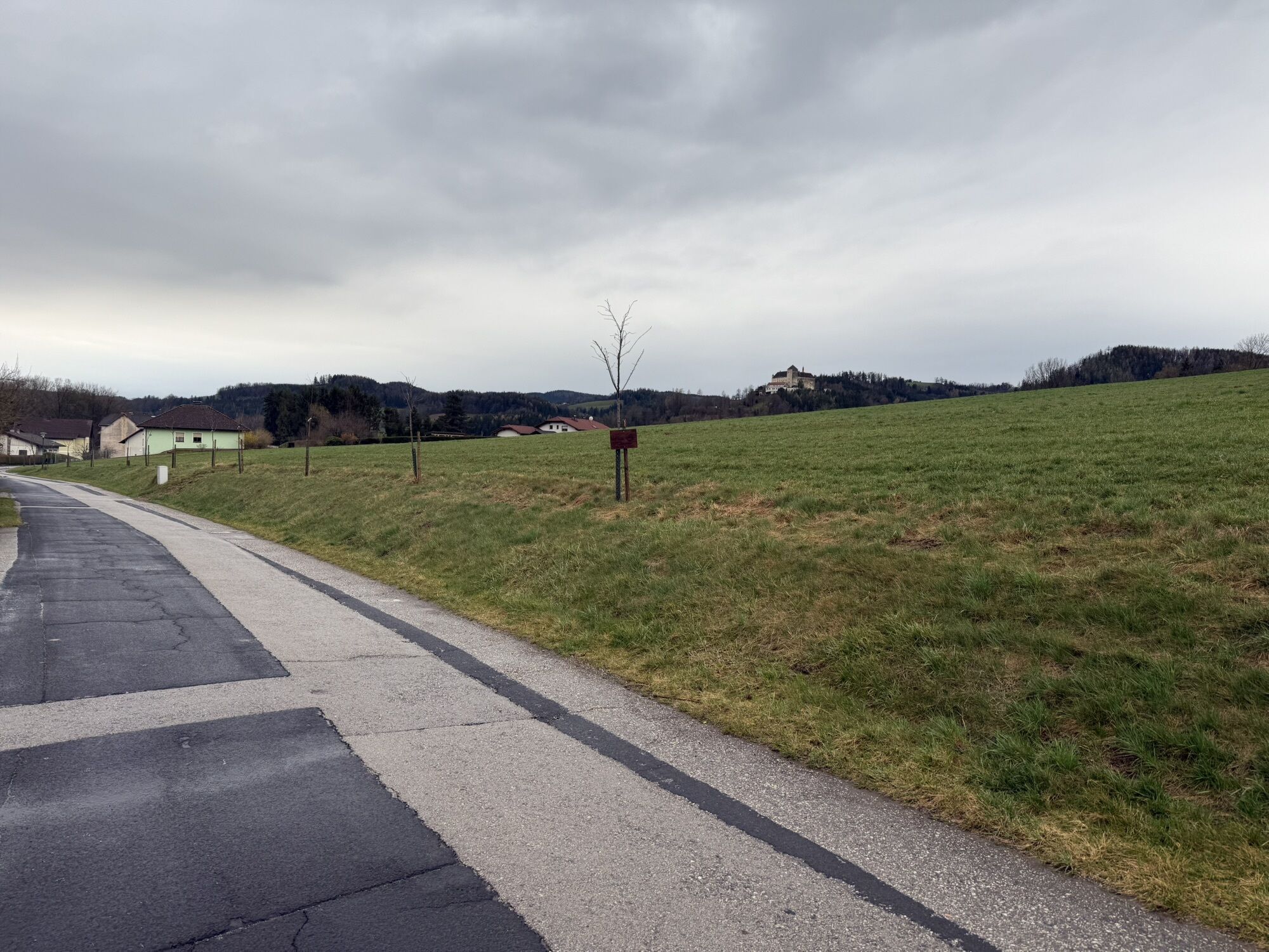
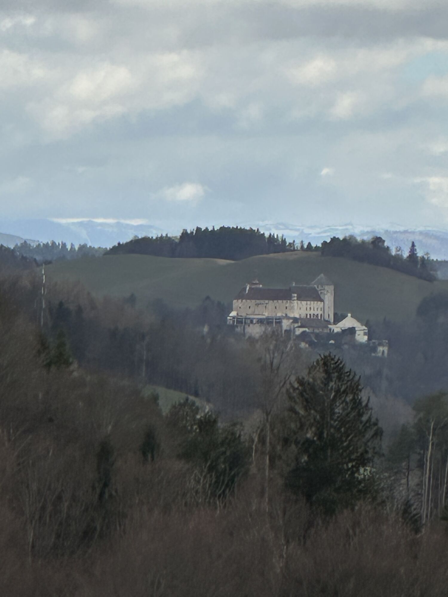
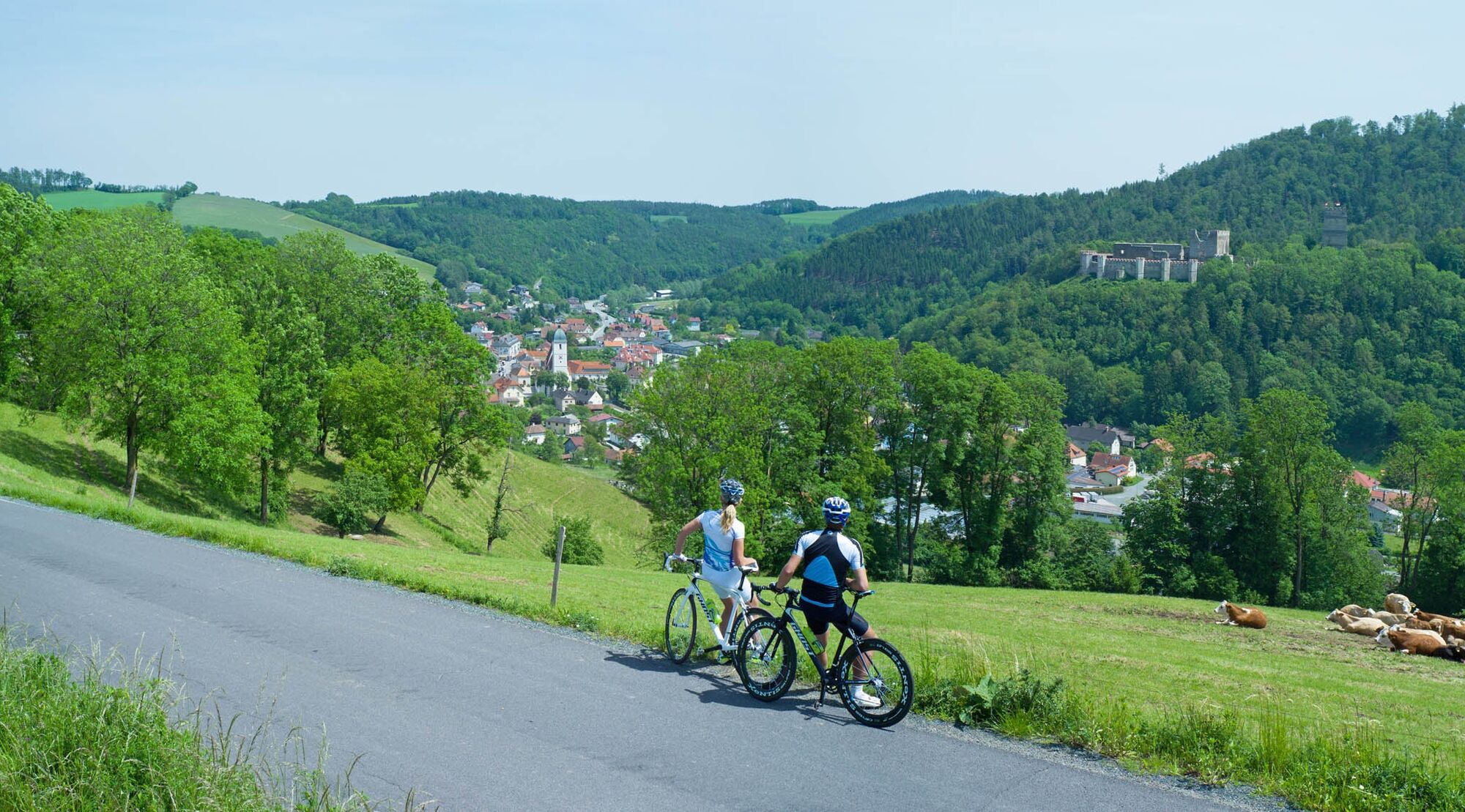
Endurance road cyclists will fully enjoy the panoramic route. Those who want to take a day to discover the Bucklige Welt from Wiener Neustadt to Grimmenstein are in the right place here. The route starts...

Opis

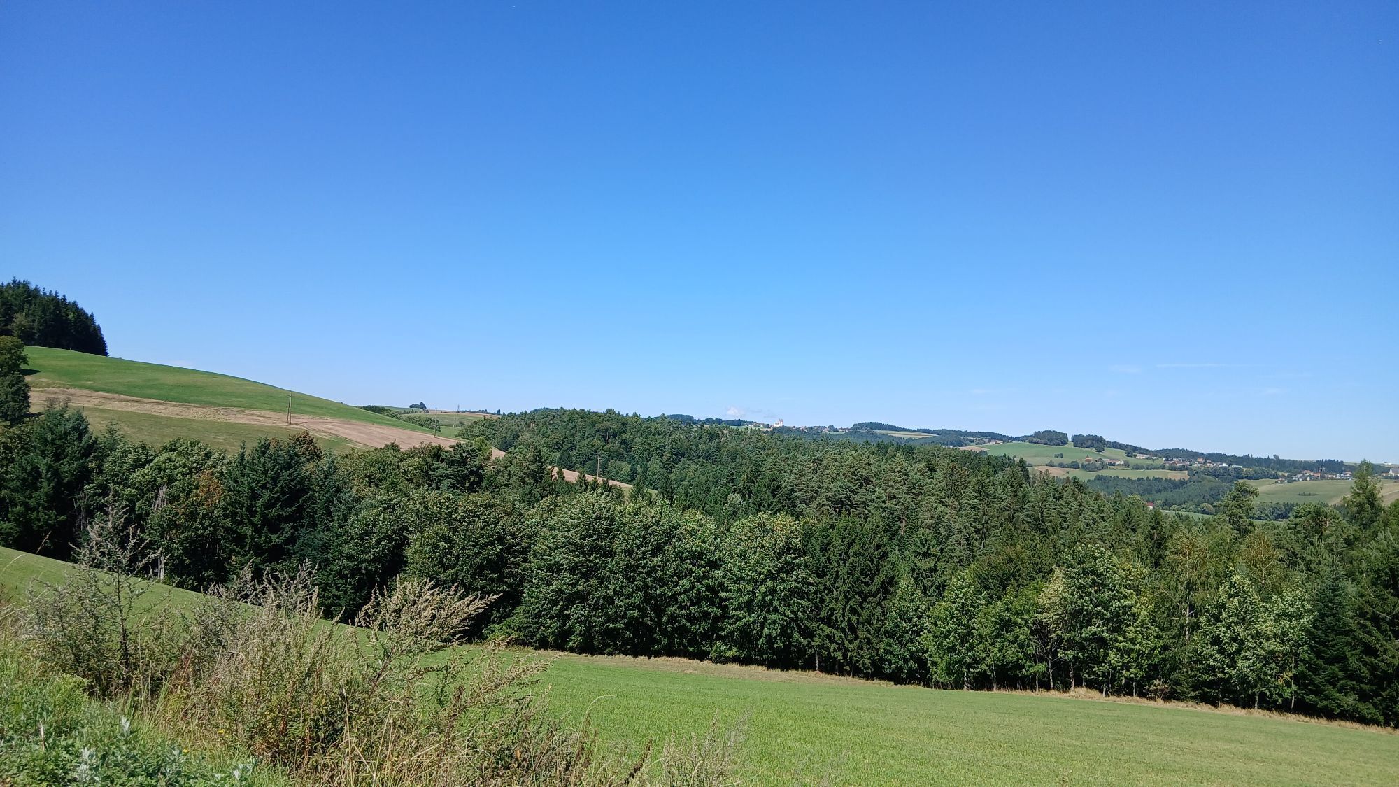
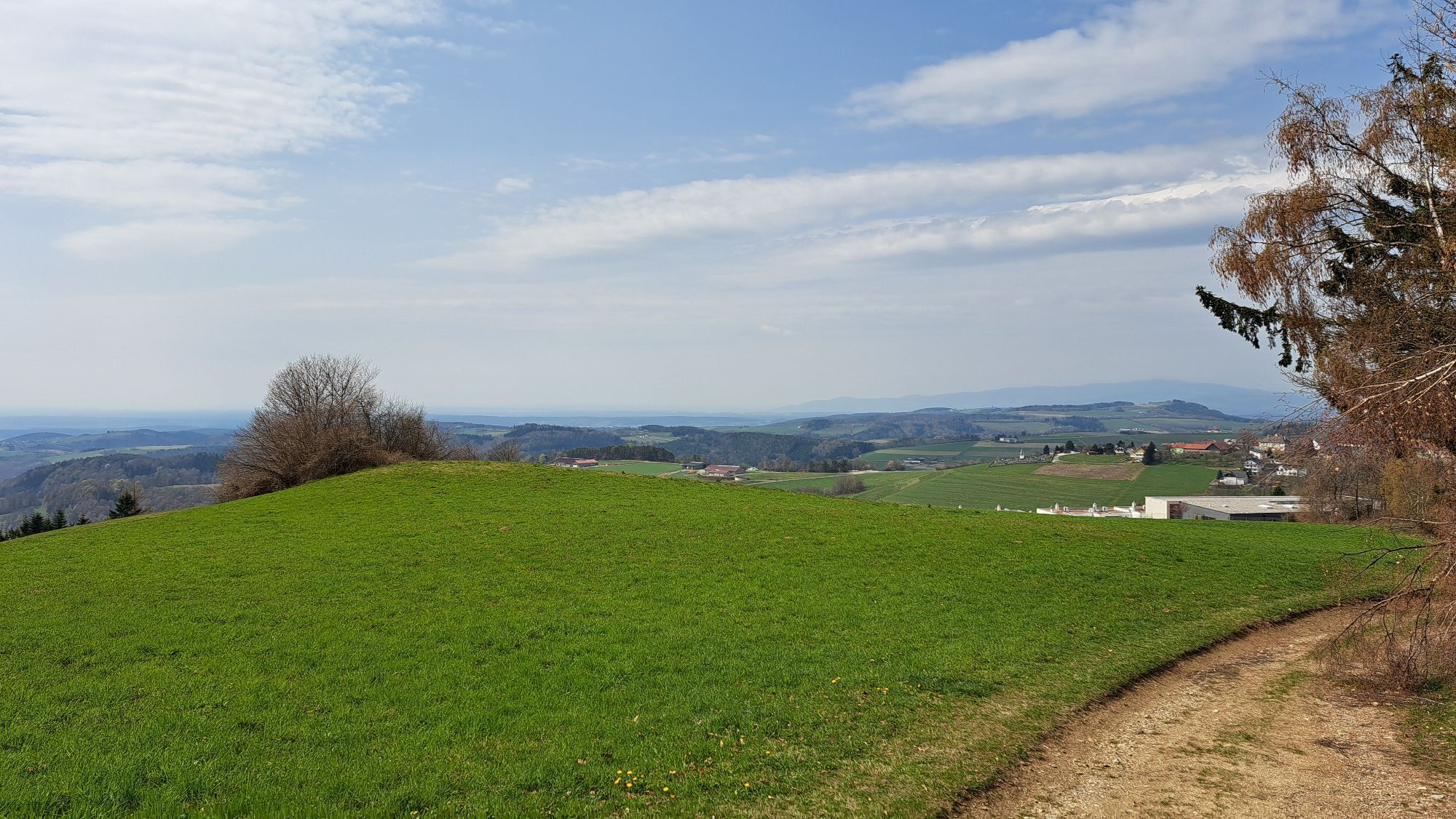
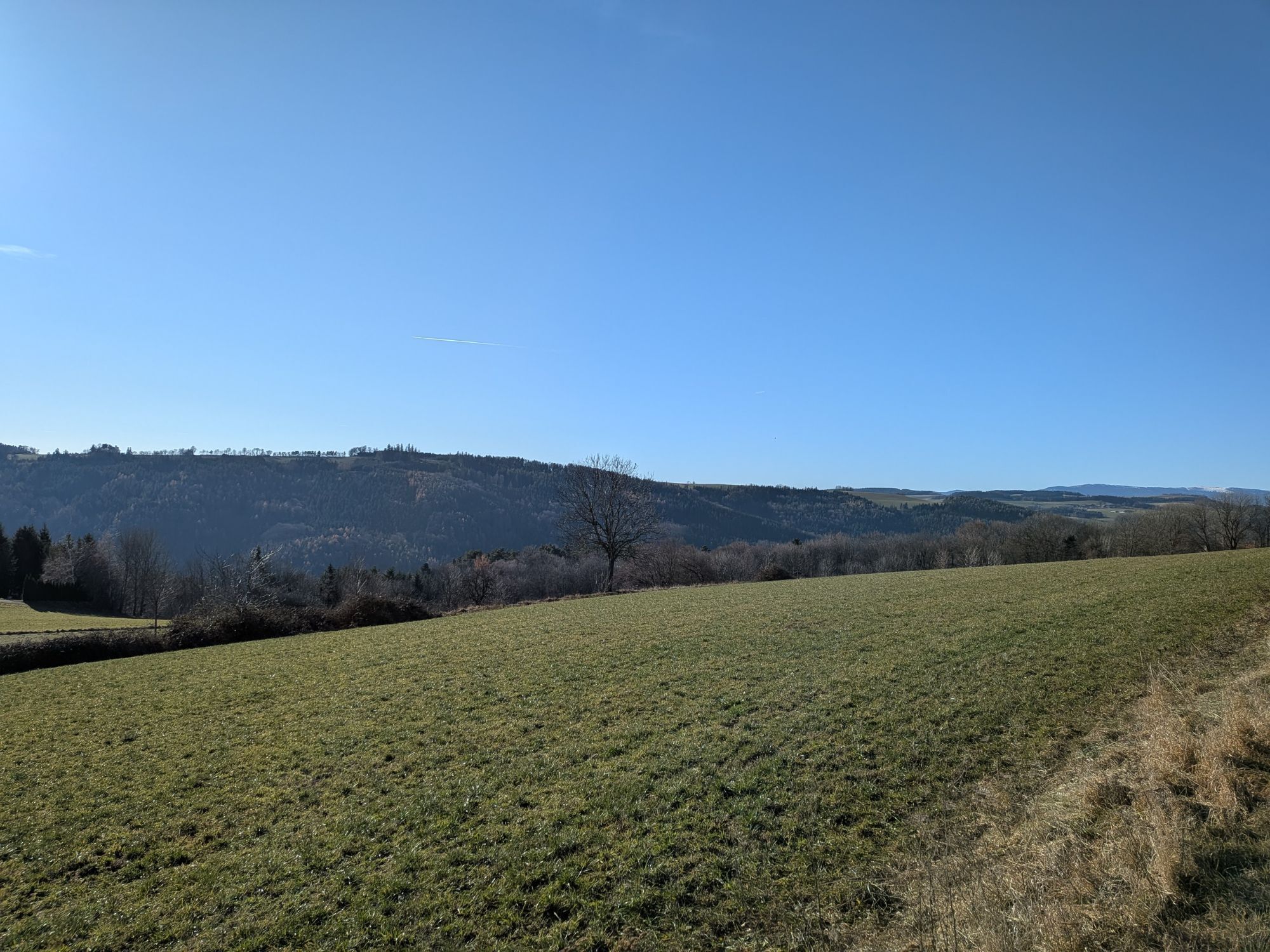
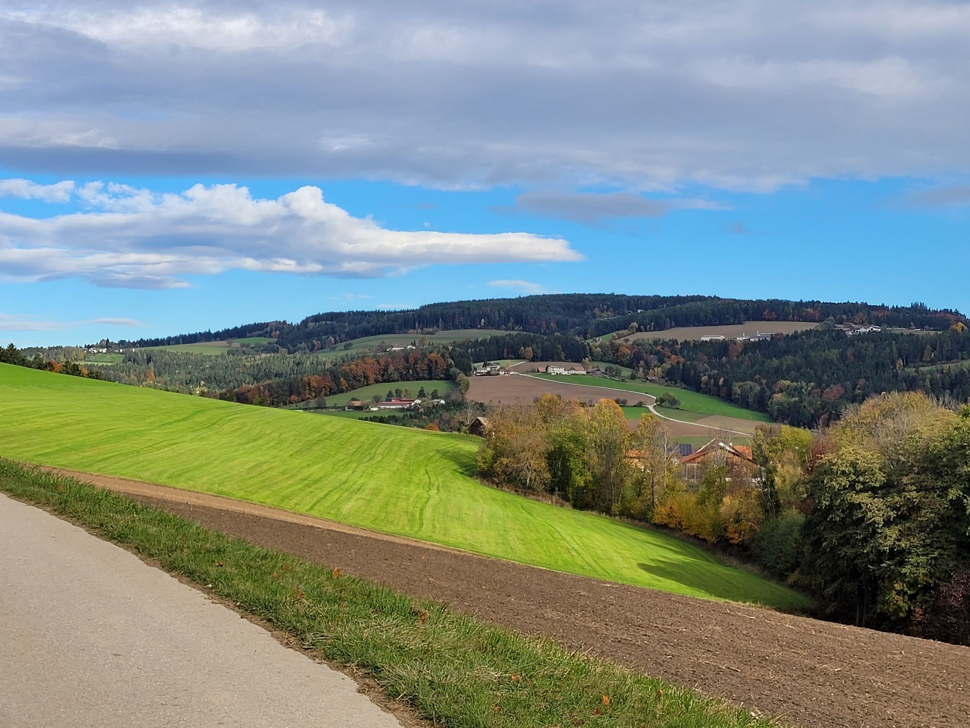
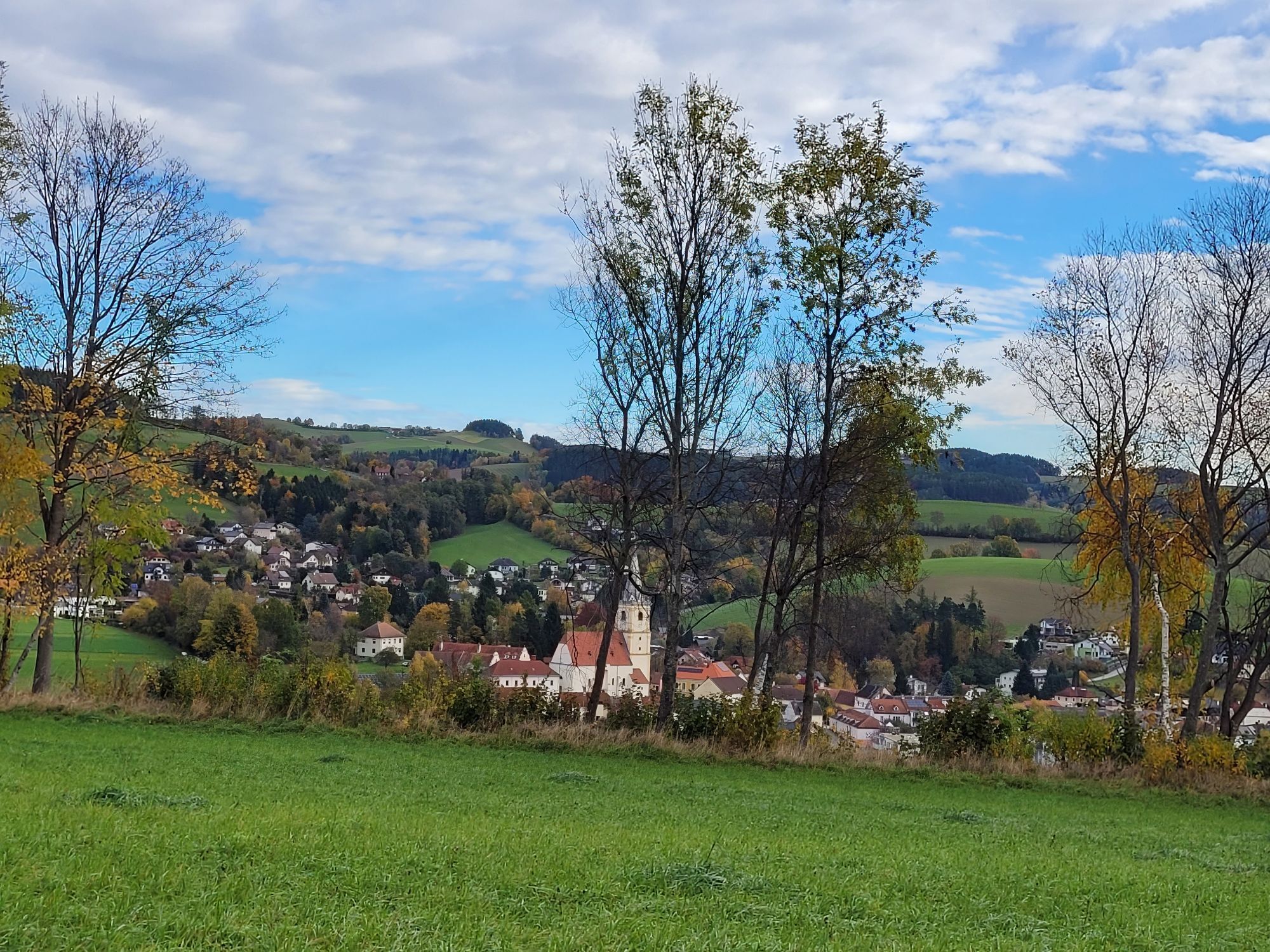
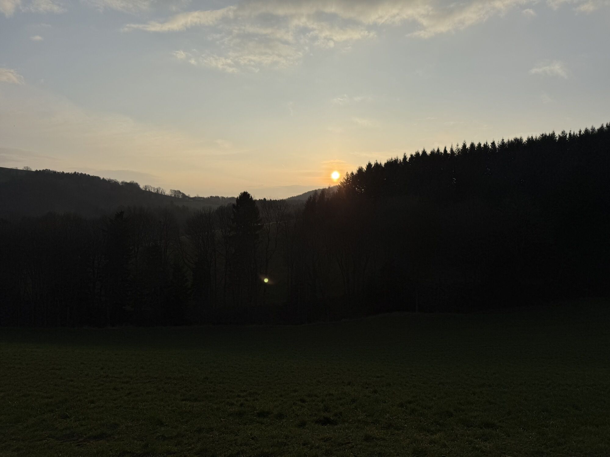
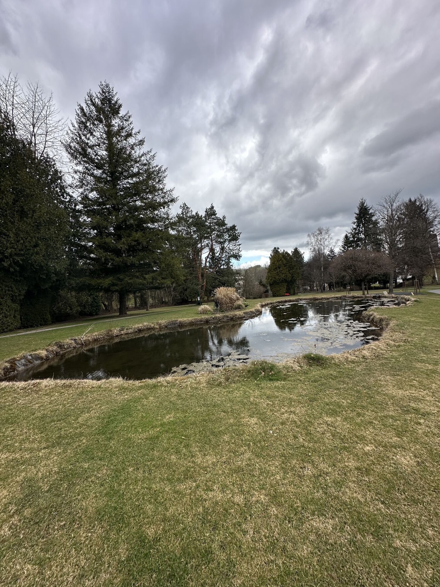
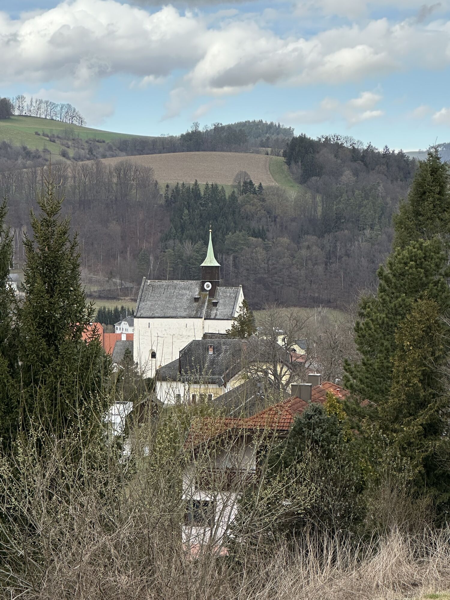
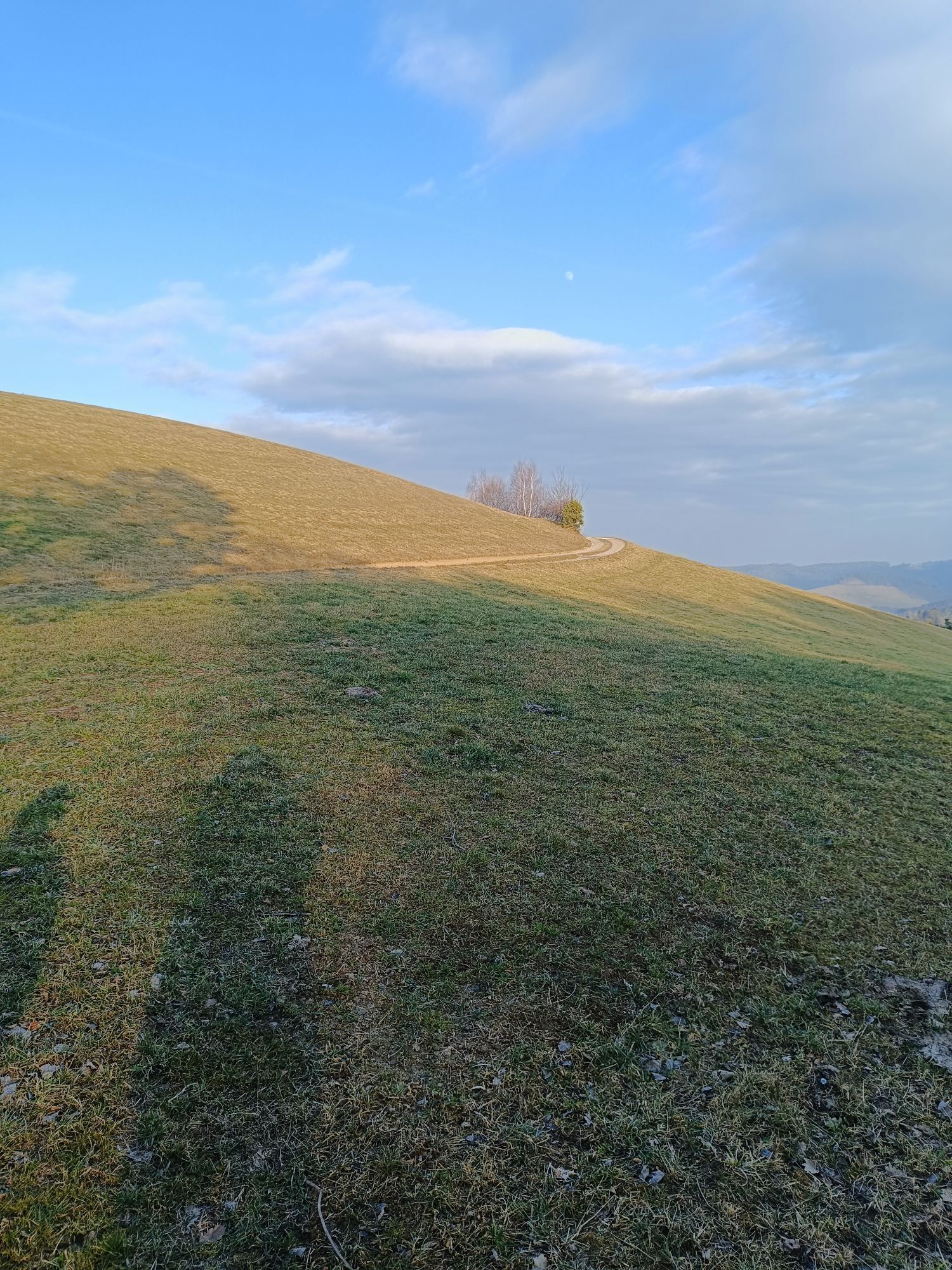
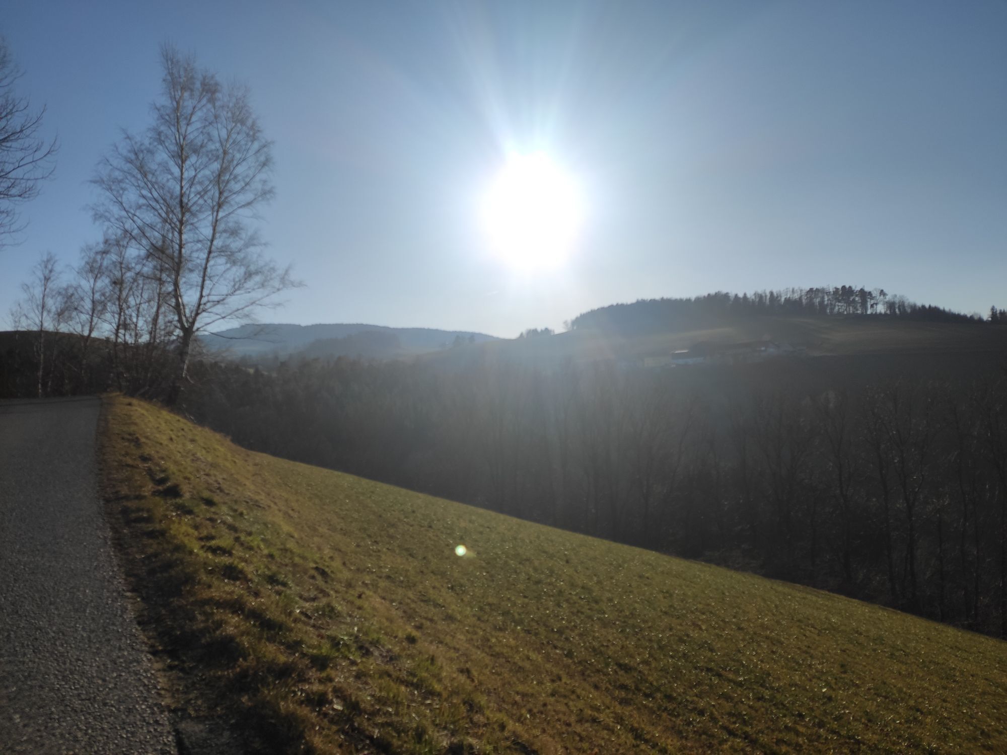
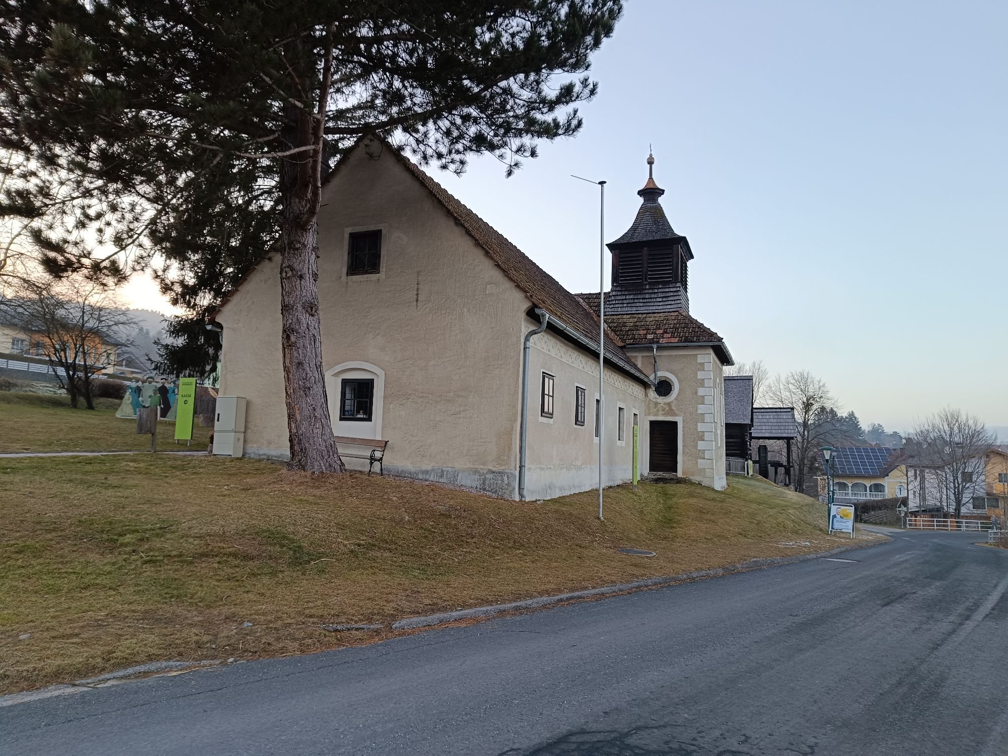
Endurance road cyclists will fully enjoy the panoramic route. Those who want to take a day to discover the Bucklige Welt from Wiener Neustadt to Grimmenstein are in the right place here. The route starts in Marktgasse at Merkur in Wiener Neustadt. You ride comfortably through many villages and many possible stops via Katzelsdorf and Lanzenkirchen. Nearly every town on the route offers places to stop and small highlights to visit for a refreshing change. The panoramic view, which you can enjoy at many points along the route, is particularly beautiful. After almost six hours of riding - depending on breaks and stops in the towns - you will have collected many wonderful impressions of the region and certainly passed some spots on the route that you will fondly remember.

Trasa
Nepomukkapelle
(279 m)
Miejsce kultu
4,6 km
Gewidmet dem hl. Kreuz
(377 m)
Miejsce kultu
16,6 km
Rotes Kreuz
(785 m)
Miejsce kultu
34,4 km
Stiller Kreuz
(754 m)
Miejsce kultu
46,4 km
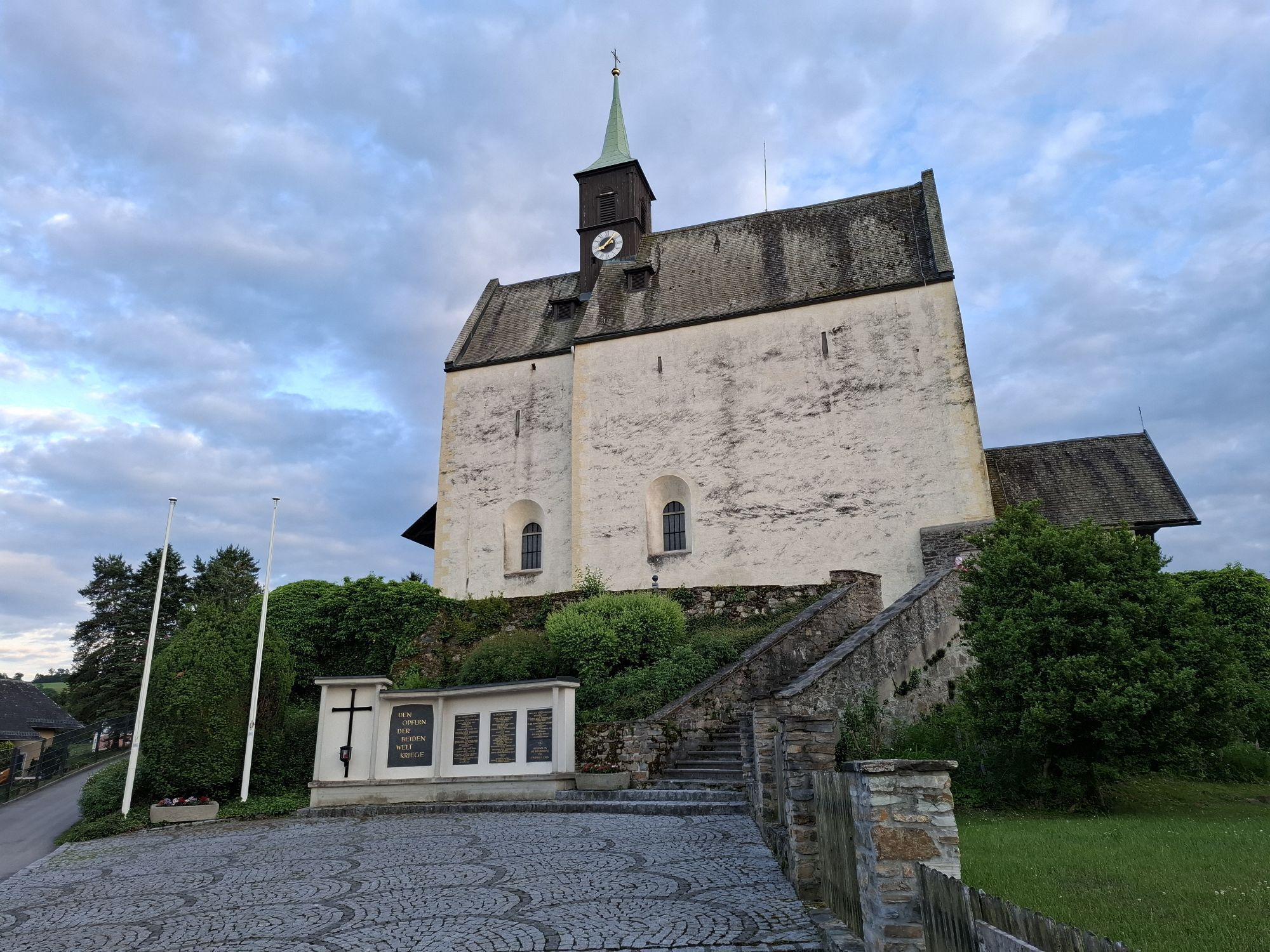
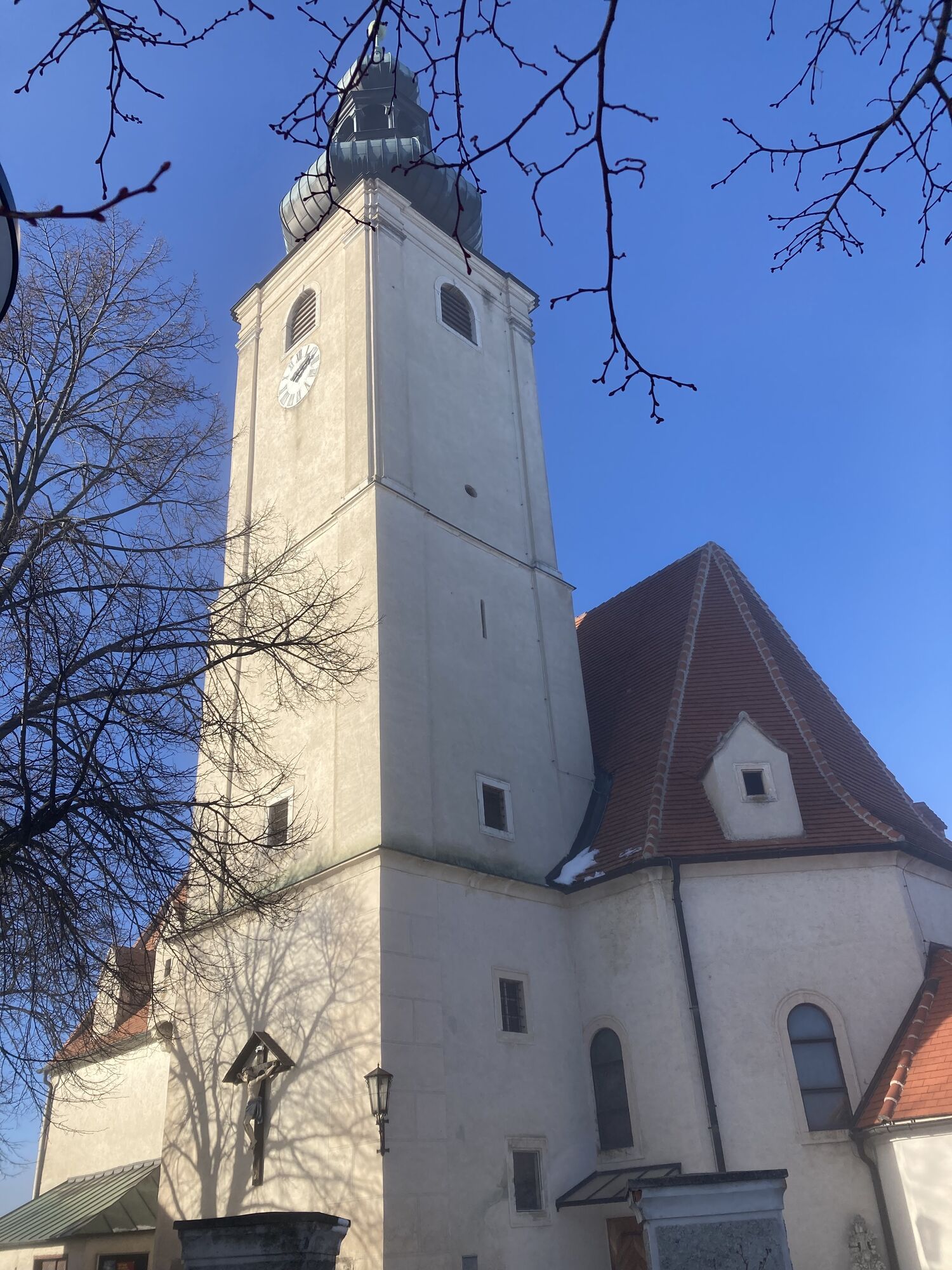
Wehrkirche am Kirchriegel
(489 m)
Miejsce kultu
72,2 km
Pfarrkirche St. Magdalena
(739 m)
Miejsce kultu
83,7 km
Kapelle
(440 m)
Miejsce kultu
112,9 km
Trasa
Mapa
Panoramic road bike route through the Bucklige Welt
ciężki
Droga rowerowa
114,81 km
Wiener Neustadt
(262 m)
Miasto
0,0 km
leParc Brasserie
(274 m)
Restauracja
0,6 km
Sägewerksiedlung
(278 m)
Sąsiedztwo
1,7 km
Katzelsdorf/Leitha
(277 m)
Wioska
4,1 km
Laurenzkirche
(279 m)
Miejsce kultu
4,2 km
Nepomukkapelle
(279 m)
Miejsce kultu
4,6 km
Frohsdorf
(296 m)
Wioska
8,9 km
Felixkapelle
(297 m)
Miejsce kultu
9,1 km
Ofenbach
(306 m)
Sąsiedztwo
10,1 km
Waldheuriger Hallbauer
(304 m)
Restauracja
10,2 km
Schleinzerkreuz
(309 m)
Miejsce kultu
10,6 km
Rotes Kreuz
(312 m)
Miejsce kultu
11,7 km
Walpersbach
(315 m)
Wioska
12,3 km
Pfarrkirche Walpersbach
(318 m)
Miejsce kultu
12,4 km
Vorstadt
(337 m)
Sąsiedztwo
12,9 km
Kinderspielplatz Klingfurth
(369 m)
Plac zabaw
16,2 km
Klingfurth
(377 m)
Wioska
16,4 km
Gewidmet dem hl. Kreuz
(377 m)
Miejsce kultu
16,6 km
Untere Alm
(616 m)
Rozliczenie
19,9 km
Alm
(633 m)
Rozliczenie
20,5 km
St. Laurenzius
(630 m)
Miejsce kultu
21,3 km
Hochwolkersdorf
(627 m)
Wioska
21,5 km
Gasthaus zur Gemütlichkeit
(625 m)
Restauracja
21,6 km
Binder Kreuz
(635 m)
Miejsce kultu
24,1 km
Stadtweg
(640 m)
Rozliczenie
25,0 km
Schneeweis Kapelle
(696 m)
Miejsce kultu
26,1 km
Annakirche
(699 m)
Miejsce kultu
26,1 km
Annaberg
(694 m)
Rozliczenie
26,2 km
Gemeindekirche
(695 m)
Miejsce kultu
27,4 km
Wiesmath
(697 m)
Wioska
27,6 km
Weißes Kreuz
(718 m)
Miejsce kultu
28,2 km
Rosa Kapelle
(698 m)
Miejsce kultu
29,6 km
Geretschlag
(669 m)
Rozliczenie
30,2 km
Gradwohl Kapelle
(672 m)
Miejsce kultu
30,3 km
Hollenthon
(660 m)
Wioska
32,0 km
Maria Himmelfahrt
(661 m)
Miejsce kultu
32,0 km
Kreuzbrunnen
(656 m)
Miejsce kultu
32,1 km
Rotes Kreuz
(785 m)
Miejsce kultu
34,4 km
Pesendorf
(781 m)
Rozliczenie
36,5 km
Tafern
(795 m)
Rozliczenie
38,0 km
Pürrerkreuz
(823 m)
Miejsce kultu
38,5 km
Kaltenberg
(833 m)
Rozliczenie
39,3 km
Stiller Kreuz
(754 m)
Miejsce kultu
46,4 km
Amlos
(764 m)
Rozliczenie
46,6 km
Ransdorf
(765 m)
Wioska
49,3 km
Purgstall
(746 m)
Rozliczenie
51,2 km
Kirner Kreuz
(758 m)
Miejsce kultu
51,6 km
Straß
(727 m)
Rozliczenie
53,9 km
Gehring
(686 m)
Rozliczenie
55,4 km
Unteraigen
(680 m)
Rozliczenie
55,8 km
Aigen
(689 m)
Rozliczenie
57,2 km
Stang
(614 m)
Wioska
60,4 km
Kirchschlag in der Buckligen Welt
(416 m)
Wioska
65,1 km
Mally's
(417 m)
Restauracja
65,2 km
Gasthaus zum Bräuhaus, Fam. Kogelbauer
(416 m)
Restauracja
65,5 km
Renas
(419 m)
Restauracja
65,7 km
Ödhöfen-Au
(457 m)
Rozliczenie
71,1 km
Laschober Kapelle
(462 m)
Miejsce kultu
71,6 km
Bad Schönau
(475 m)
Wioska
71,9 km
Hotel Geier
(472 m)
Restauracja
72,0 km
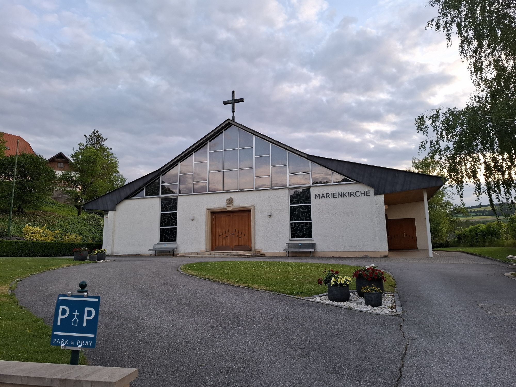
Marienkirche
(477 m)
Miejsce kultu
72,0 km
Wehrkirche am Kirchriegel
(489 m)
Miejsce kultu
72,2 km
Gasthof zum Nusspaumhoff
(496 m)
Restauracja
72,3 km
Almen
(713 m)
Rozliczenie
75,6 km
Hochneukirchen
(770 m)
Wioska
79,2 km
Pfarrkirche Hochneukirchen
(768 m)
Miejsce kultu
79,3 km
s'Hutwisch Wirtshaus am Dach der Welt
(771 m)
Restauracja
79,3 km
Gasthaus Ringhofer
(771 m)
Restauracja
79,4 km
Hattmannsdorf
(734 m)
Wioska
81,3 km
Landgasthof Höller
(740 m)
Restauracja
83,6 km
Gschaidt
(738 m)
Rozliczenie
83,7 km
Pfarrkirche St. Magdalena
(739 m)
Miejsce kultu
83,7 km
Zum Schloss Ziegersberg
(751 m)
Restauracja
89,8 km
Schlag
(751 m)
Rozliczenie
89,9 km
Kapelle
(579 m)
Miejsce kultu
92,9 km
Zöbern
(585 m)
Wioska
92,9 km
Zöberner Au
(562 m)
Rozliczenie
94,0 km
Unterhaus-Au
(500 m)
Rozliczenie
98,7 km
Unterhaus
(492 m)
Wioska
98,7 km
Krumbach - Markt
(522 m)
Wioska
101,0 km
Königsegg
(616 m)
Rozliczenie
102,7 km
Weißes Kreuz
(640 m)
Rozliczenie
105,5 km
Gasthof Weißes Kreuz
(642 m)
Restauracja
105,6 km
Thomasberg
(543 m)
Wioska
109,2 km
Schauerberg
(477 m)
Rozliczenie
111,3 km
Hofstatt
(516 m)
Rozliczenie
111,6 km
Edlitz
(452 m)
Wioska
112,6 km
Ernst Kapelle
(446 m)
Miejsce kultu
112,7 km
Kapelle
(440 m)
Miejsce kultu
112,9 km
Grimmenstein
(405 m)
Wioska
114,7 km
Informacje o wycieczce

The extensive road bike route leads through the entire region of the Bucklige Welt and offers many highlights.

Technologia
2 / 6
Stan
5 / 6
Krajobraz
5 / 6
Doświadczenie
6 / 6
Najlepsza pora roku
Sty
Lut
Mar
Kwi
Maj
Cze
Lip
Sie
Wrz
Paź
Lis
Gru
Udostępnij trasę
Mapa
Panoramic road bike route through the Bucklige Welt
ciężki
Droga rowerowa
114,81 km
Błąd
Wystąpił błąd. Spróbuj ponownie.
Informacje o trasie
Trasa

The route starts in Wiener Neustadt, Marktgasse. We ride along Günser Straße to the railway crossing, where we turn left towards Katzelsdorf. We follow the Leitha via Eichbüchl and Frohsdorf. Our route continuously leads south. We pass Lanzenkirchen and Ofenbach until we reach Walpersbach. There, we turn left onto the main road and continue towards Hochwolkersdorf via Klingfurth. In Hochwolkersdorf, we keep to the south from the town center. We eventually reach Wiesmath and continue further south. In Hollenthon, we turn west at the primary school. We pass Kaltenberg and ride to Grub. From there, we head east and later south again to Purgstall. Later, we pass Aigen, followed by Leben and Klausriegel. After Lembach, we reach Karler Straße before Kirchschlag in the Bucklige Welt, which we turn right onto. We continue over Günser Straße and Wiener Straße to Ödhofen, where we keep left. We reach Bad Schönau, where we head south toward Hochneukirchen and Gschaidt. Slowly, we move north again; at Kothmühle, we turn right. Over Schlag, we reach Zöbern. Continuing east at Unterhaus, we reach Kirchschlager Straße, which we follow left toward Krumbach. From there, the federal road leads us left onto Königseggstraße. We keep north until we are directed back to the federal road. We follow it left near the Weißes Kreuz inn. We pass Kirchschlagl and continue on Kirchschlagerstraße until we reach Thomasberg. Via Edlitz, we finally arrive in Grimmenstein.

Sprzęt

Always take suitable maps with you. Wear sturdy shoes suited to the route, bring sun and rain protection as well as water and a snack. Take your mobile phone with you and save the important numbers.

Instrukcje bezpieczeństwa

Your hikes in the Vienna Alps should be a completely enjoyable and safe experience. Please therefore consider the following:

Preparation

Make sure when choosing the route that it matches your mountain experience and your fitness. Check the weather report in advance. Weather can change surprisingly quickly in the mountains. Always start accordingly equipped (e.g., rain protection).

Check if the huts and snack stations you want to visit on the way are open. Inform someone about your chosen route and planned return before you set off.

Informacje o przyjeździe
Przybycie

From Vienna, you reach Wiener Neustadt via the South Motorway.

From the south, approach via the A2 and the E59.
Transport publiczny

There are numerous bus and train connections to Wiener Neustadt main station.

More information at www.oebb.at and www.vor.at

Parking

There are some parking options in the alleys around, no dedicated parking lot.

Dodatkowe informacje i wskazówki
Poziom trudności

2

Dodatkowe informacje

More info:

Vienna Alps in Lower Austria, www.wieneralpen.at , +43 / 2622 / 78960

Nie ma jeszcze recenzji
Napisz recenzję

Recenzje pomagają innym użytkownikom wybrać kolejną przygodę. Oceniaj tylko trasę, a nie pogodę lub przekąskę.

Wybierz jedną z gwiazdek, aby ocenić wycieczkę
Zła trasa
Słaba trasa
Przeciętna wycieczka
Dobra wycieczka
Doskonała wycieczka
bergfex logo Uzyskaj wgląd Zawsze na żywo z ponad 9 500 kamer internetowych. bergfex Jako użytkownik Pro, możesz teraz zobaczyć odpowiednie kamery internetowe dla wielu wycieczek w aplikacji wycieczki od. Pozwala to na bezpośredni podgląd aktualnych warunków.
Wędrówki i tropienie

Wędrówki i tropienie

Wędrówki i tropienie
Ponad 550.000 propozycji wycieczek, szczegółowe mapy i intuicyjny planer tras sprawiają, że aplikacja jest niezbędna dla wszystkich entuzjastów przyrody.
bergfex