Nawigacja
Pobierz tę trasę na swój telefon komórkowy
Mapa
Alte Wallfahrtswege
średni
Jazda na rowerze
48,06 km
Zeskanuj kod QR i rozpocznij nawigację w aplikacji bergfex.
QR Code
Wędrówki i tropienie
Pobierz dla iOS
Pobierz dla systemu Android

Alte Wallfahrtswege

średni
Jazda na rowerze
Odległość
48,1 km
Czas trwania
03:30 h
Ascent
448 hm
Poziom morza
512 - 665 m
Ścieżka do pobrania
Mapa
Alte Wallfahrtswege
średni
Jazda na rowerze
48,06 km

This loop route combines the joys of nature with deep-rooted history and takes you along historic pilgrimage trails through the Zwettl monastery region. You’ll cycle through idyllic, traditional villages...

Opis

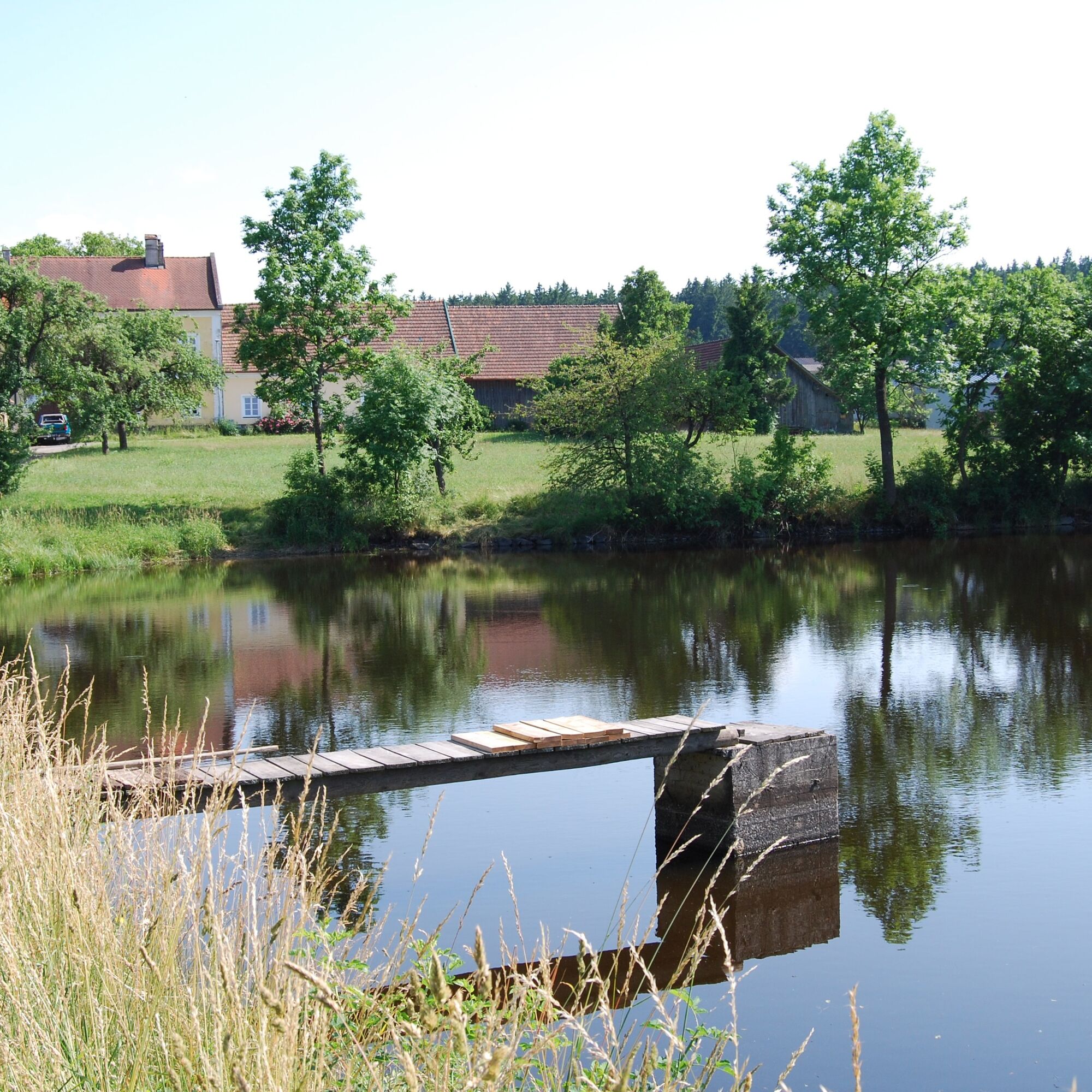
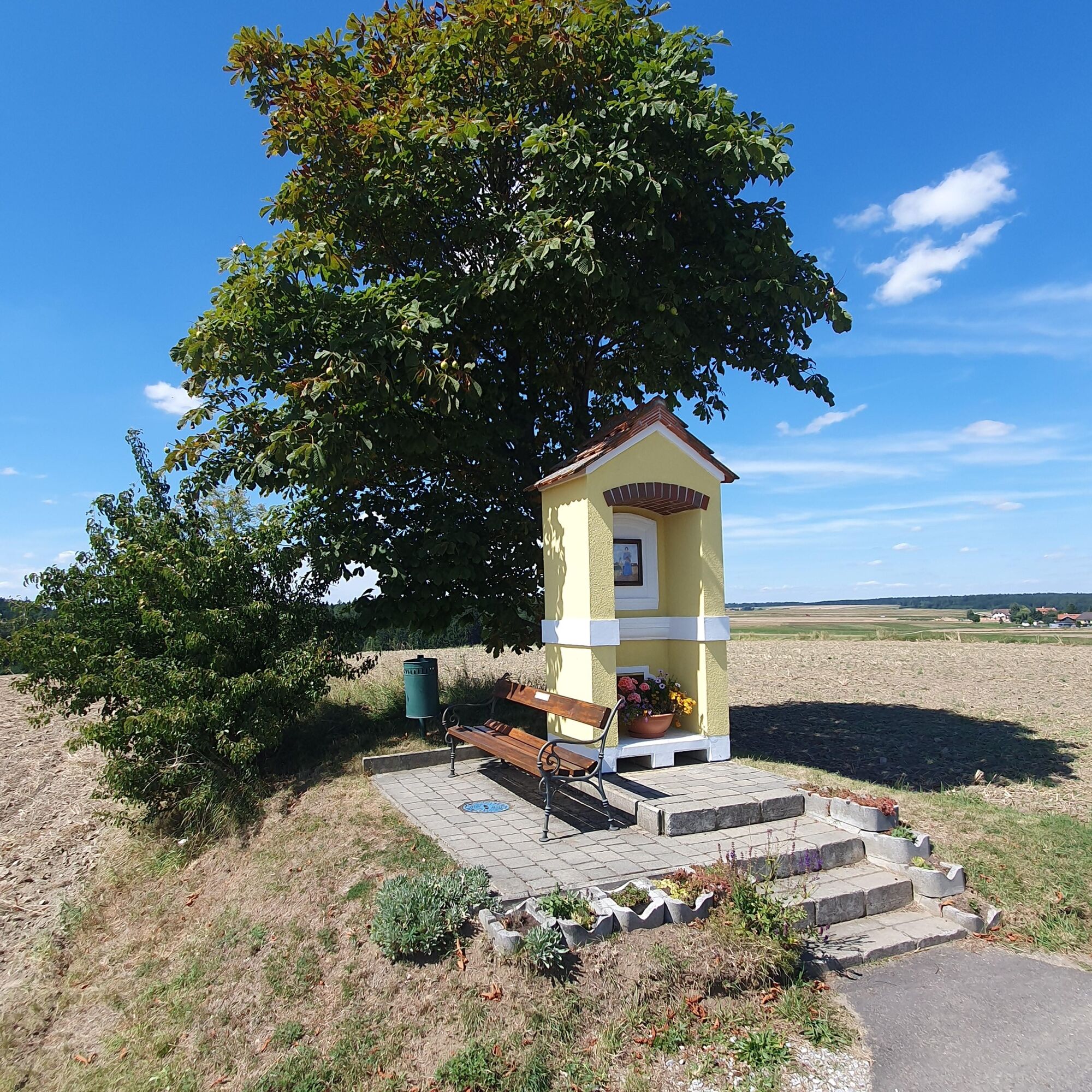
This loop route combines the joys of nature with deep-rooted history and takes you along historic pilgrimage trails through the Zwettl monastery region. You’ll cycle through idyllic, traditional villages and quiet forest paths, surrounded by the typical Waldviertel landscape, characterized by rolling hills, expansive fields, and distinctive granite boulders.

This bike tour was developed as part of the “ATCZ00007 CISTERSCAPES VB-Zw-ZnS” project and funded by the Interreg Austria-Czech Republic program.

Note: The tour will not be fully signposted until spring 2027!
Trasa
Pfarrkirche Maria Himmelfahrt
(518 m)
Miejsce kultu
0,4 km
Bügerspitalskirche
(525 m)
Miejsce kultu
0,8 km
Teichhäuser
(608 m)
Rozliczenie
8,9 km
Galgenberg
(641 m)
Szczyt
22,0 km
Schweiggers
(634 m)
Wioska
22,9 km
Dorfkapelle zu Schwarzenbach
(640 m)
Miejsce kultu
31,9 km
Steinberg
(634 m)
Szczyt
37,5 km
Trasa
Mapa
Alte Wallfahrtswege
średni
Jazda na rowerze
48,06 km
Pfarrkirche Maria Himmelfahrt
(518 m)
Miejsce kultu
0,4 km
Zwettl
(525 m)
Miasto
0,7 km
Bügerspitalskirche
(525 m)
Miejsce kultu
0,8 km
Gradnitz
(600 m)
Wioska
4,0 km
Großhaslau
(611 m)
Wioska
6,3 km
Ritzmannshof
(621 m)
Rozliczenie
7,7 km
Wirtshaus zur Minidampfbahn
(610 m)
Restauracja
8,8 km
Teichhäuser
(608 m)
Rozliczenie
8,9 km
Großglobnitz
(585 m)
Wioska
10,5 km
Bösenneunzen
(590 m)
Wioska
14,2 km
Kiengraben
(610 m)
Korytarz/teren
16,1 km
Dorfwirtshaus Sallingstadt
(584 m)
Restauracja
18,5 km
Sallingstadt
(578 m)
Rozliczenie
18,6 km
hl. Martin
(582 m)
Miejsce kultu
18,9 km
Perndorf
(617 m)
Wioska
20,5 km
Galgenberg
(641 m)
Szczyt
22,0 km
Harry's Thayaquellenhof
(633 m)
Restauracja
22,8 km
Schweiggers
(634 m)
Wioska
22,9 km
Gasthaus Swidger
(632 m)
Restauracja
23,1 km
Veranstaltungssaal
(631 m)
Restauracja
23,1 km
Brunnhöf
(649 m)
Wioska
26,1 km
Steinlüß
(646 m)
Korytarz/teren
26,4 km
Siebenlinden
(653 m)
Wioska
28,4 km
Vierlings
(616 m)
Rozliczenie
30,2 km
Dorfkapelle zu Schwarzenbach
(640 m)
Miejsce kultu
31,9 km
Schwarzenbach
(642 m)
Wioska
32,4 km
Unterwindhag
(638 m)
Wioska
35,7 km
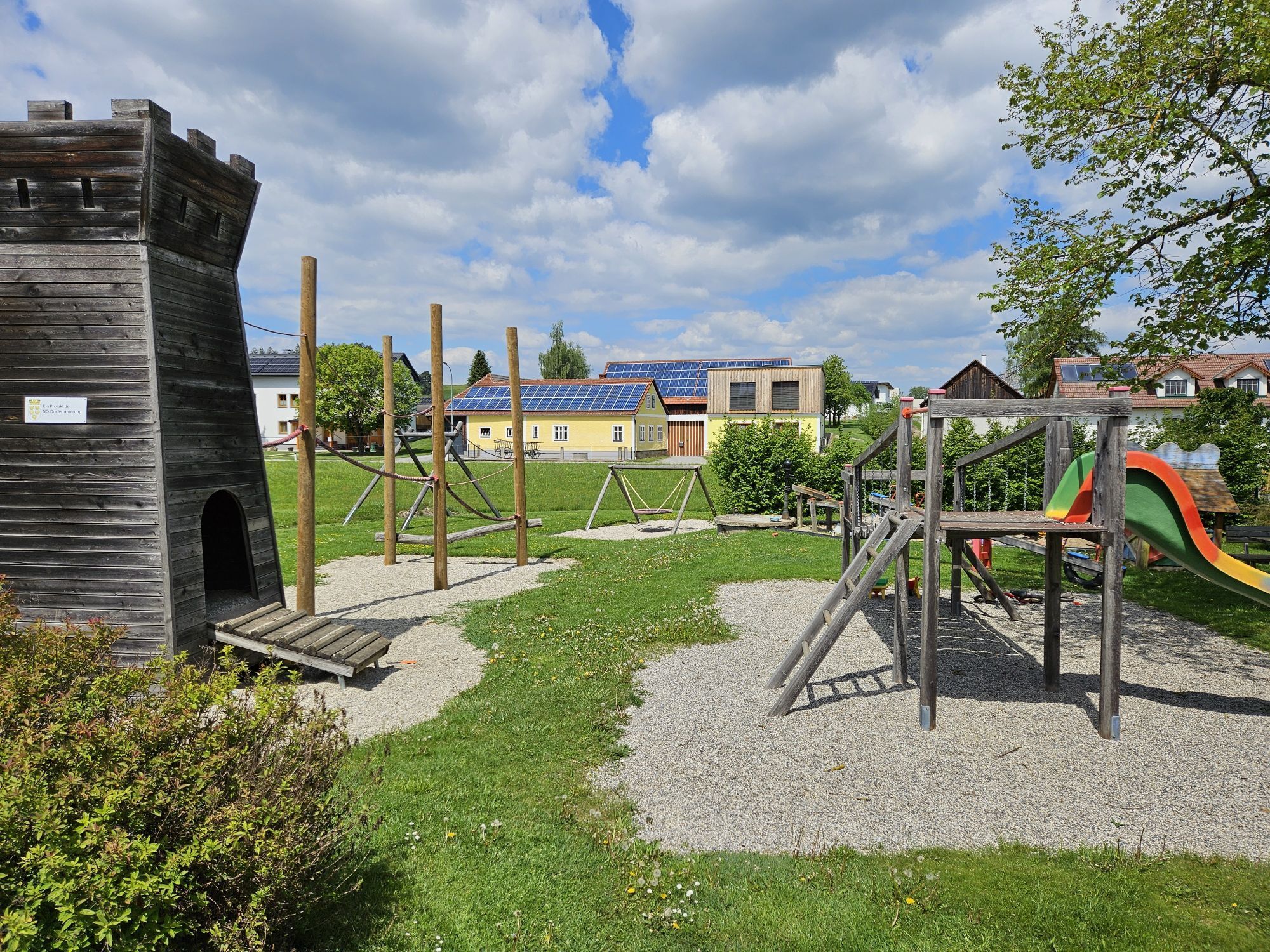
Spielplatz
(631 m)
Plac zabaw
35,9 km
Hausgärten
(628 m)
Korytarz/teren
35,9 km
Steinberg
(634 m)
Szczyt
37,5 km
Rieggers
(602 m)
Wioska
38,4 km
Oberstrahlbach
(625 m)
Wioska
41,8 km
Niederstrahlbach
(564 m)
Wioska
43,7 km
Evangelische Kirche
(541 m)
Miejsce kultu
46,8 km
Pfarrkirche Maria Himmelfahrt
(518 m)
Miejsce kultu
47,7 km
Zwettl
(525 m)
Miasto
47,8 km
Informacje o wycieczce

The expansive loop trail follows historic pilgrimage routes through idyllic villages, quiet forest paths, and the cultural landscapes of the Waldviertel region.

Technologia
n.d.
Stan
3 / 6
Krajobraz
4 / 6
Doświadczenie
4 / 6
Najlepsza pora roku
Sty
Lut
Mar
Kwi
Maj
Cze
Lip
Sie
Wrz
Paź
Lis
Gru
Autor
Dostarczone przez Waldviertel Tourismus
Logo
Udostępnij trasę
Mapa
Alte Wallfahrtswege
średni
Jazda na rowerze
48,06 km
Błąd
Wystąpił błąd. Spróbuj ponownie.
Informacje o trasie
Trasa

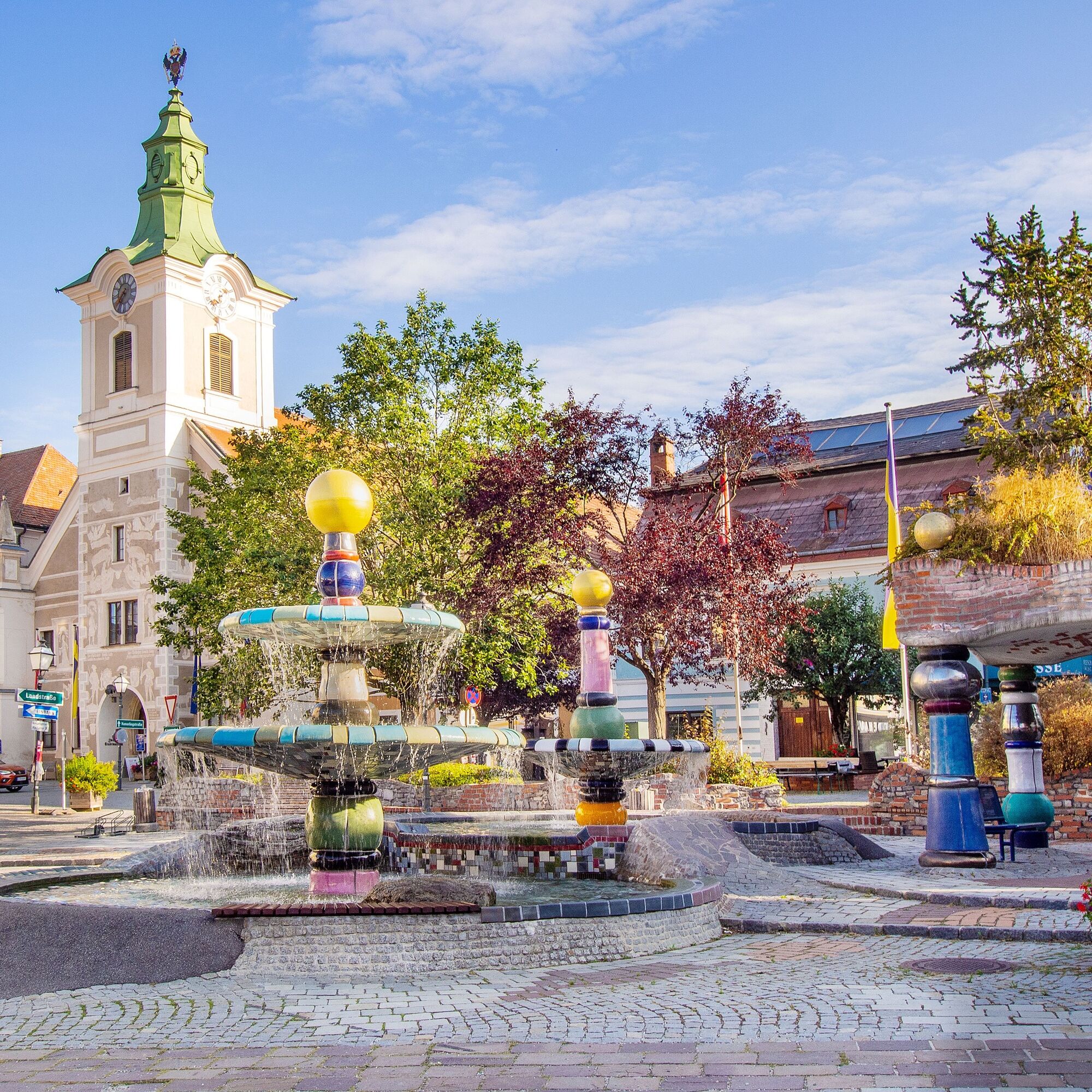
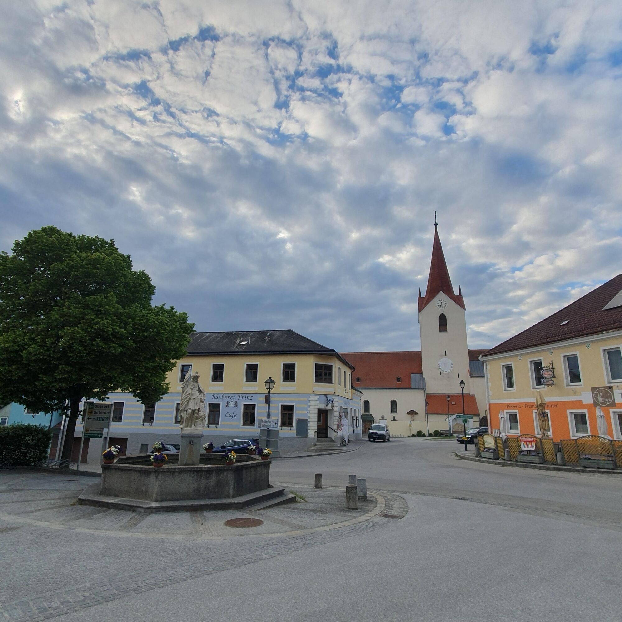
You’ll start at the Kampparkplatz in Zwettl and cycle through idyllic villages such as Gradnitz, Großhaslau, and Großglobnitz. Passing expansive fields and rolling hills, the route takes you through Sallingstadt to Schweiggers. Via Brunnhöf, you’ll reach Siebenlinden, the former pilgrimage site for the people of Zwettl. Peaceful forest trails take you through Schwarzenbach and Rieggers back to Oberstrahlbach and to the starting point.

Sprzęt

We recommend: a helmet, appropriate clothing and footwear, rain and sun protection, a first-aid kit, and plenty of food (snacks, granola bars, fruit, water).

Instrukcje bezpieczeństwa

When choosing a route, make sure it’s appropriate for your fitness level. Check to see if the restaurants you plan to visit along the way are open. Pack your cell phone and maps in your backpack.

Informacje o przyjeździe
Parking

Free parking at the starting point

Dodatkowe informacje i wskazówki
Dodatkowe informacje
Zwettl-Info at the Old Town Hall
Sparkassenplatz 4
3910 Zwettl
(T) +43 2822 503129
(I) www.zwettl.info
Wskazówki

Highlights along the route: Points of Interest, Ritzmannshof Historic Pond Complex

Wędrówki i tropienie

Wędrówki i tropienie

Pobierz dla iOSPobierz dla systemu Android
Wędrówki i tropienie
Ponad 550.000 propozycji wycieczek, szczegółowe mapy i intuicyjny planer tras sprawiają, że aplikacja jest niezbędna dla wszystkich entuzjastów przyrody.
bergfex