







Fladnitztal Rundtour
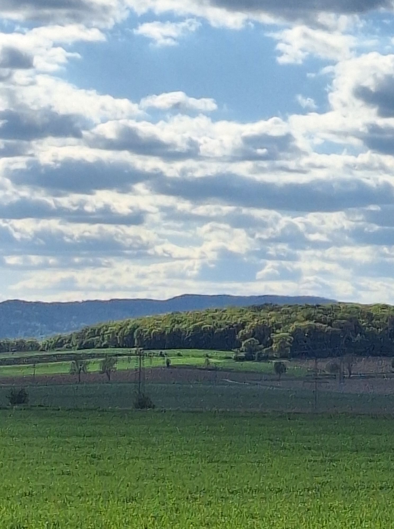
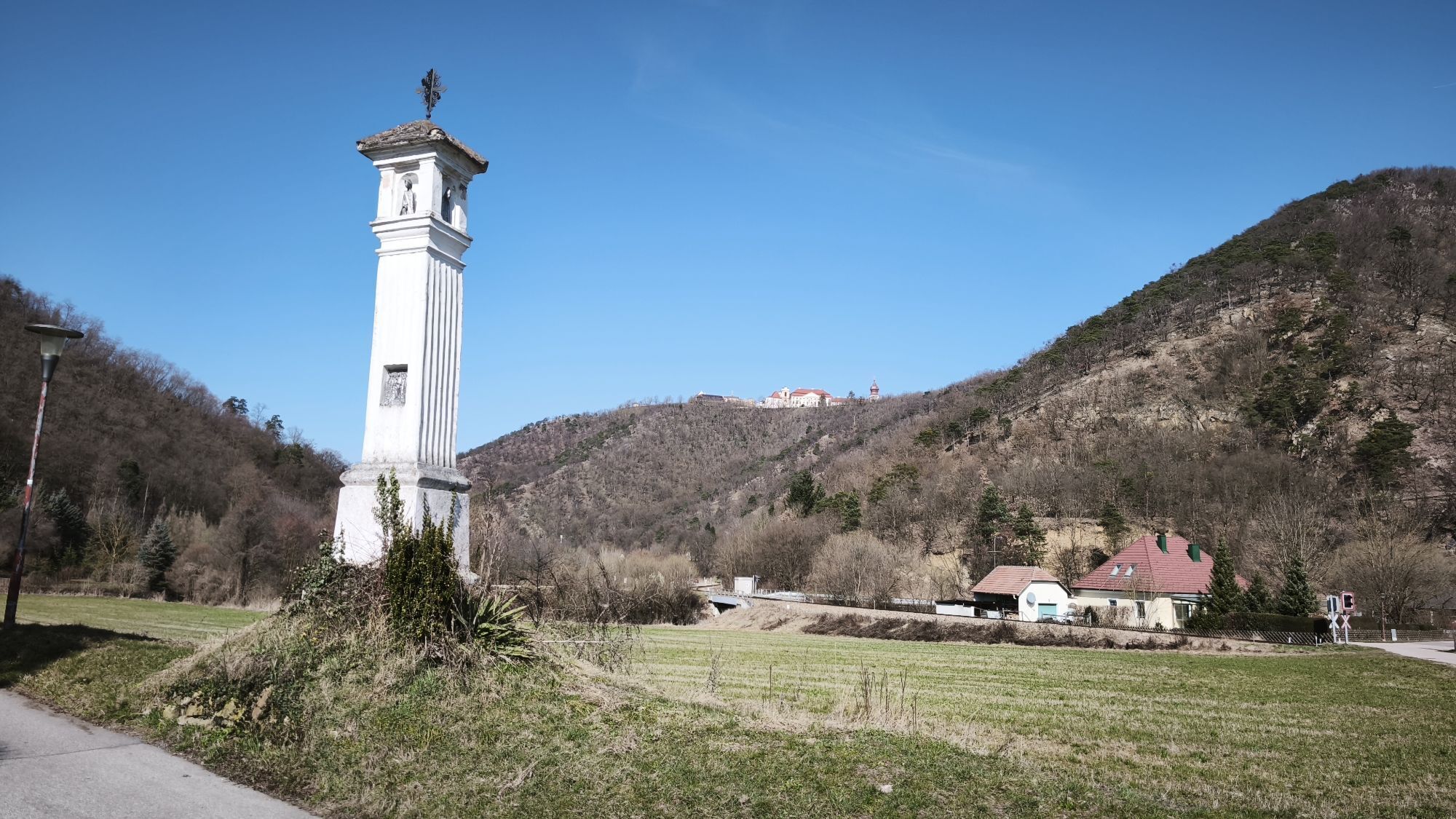
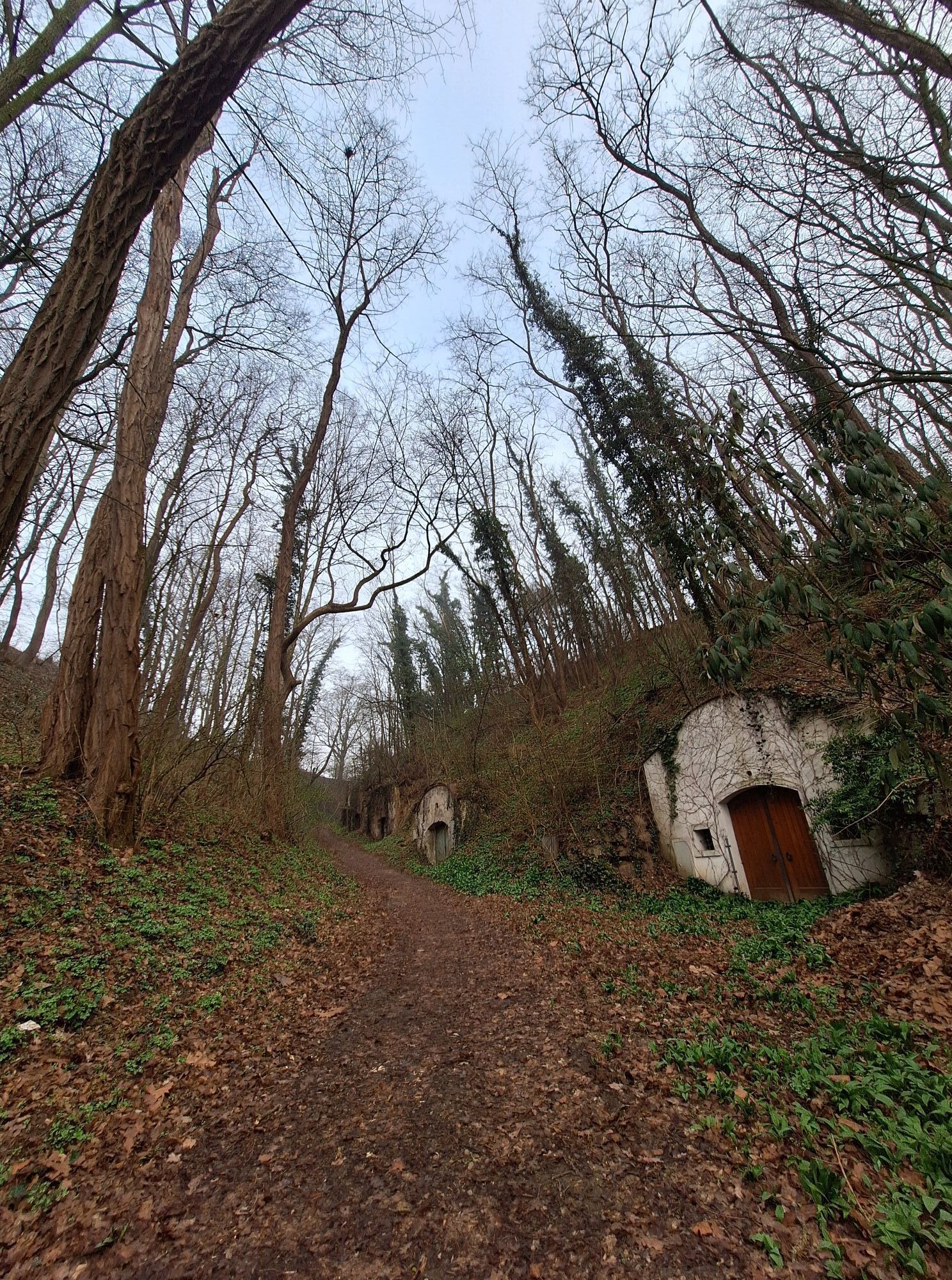
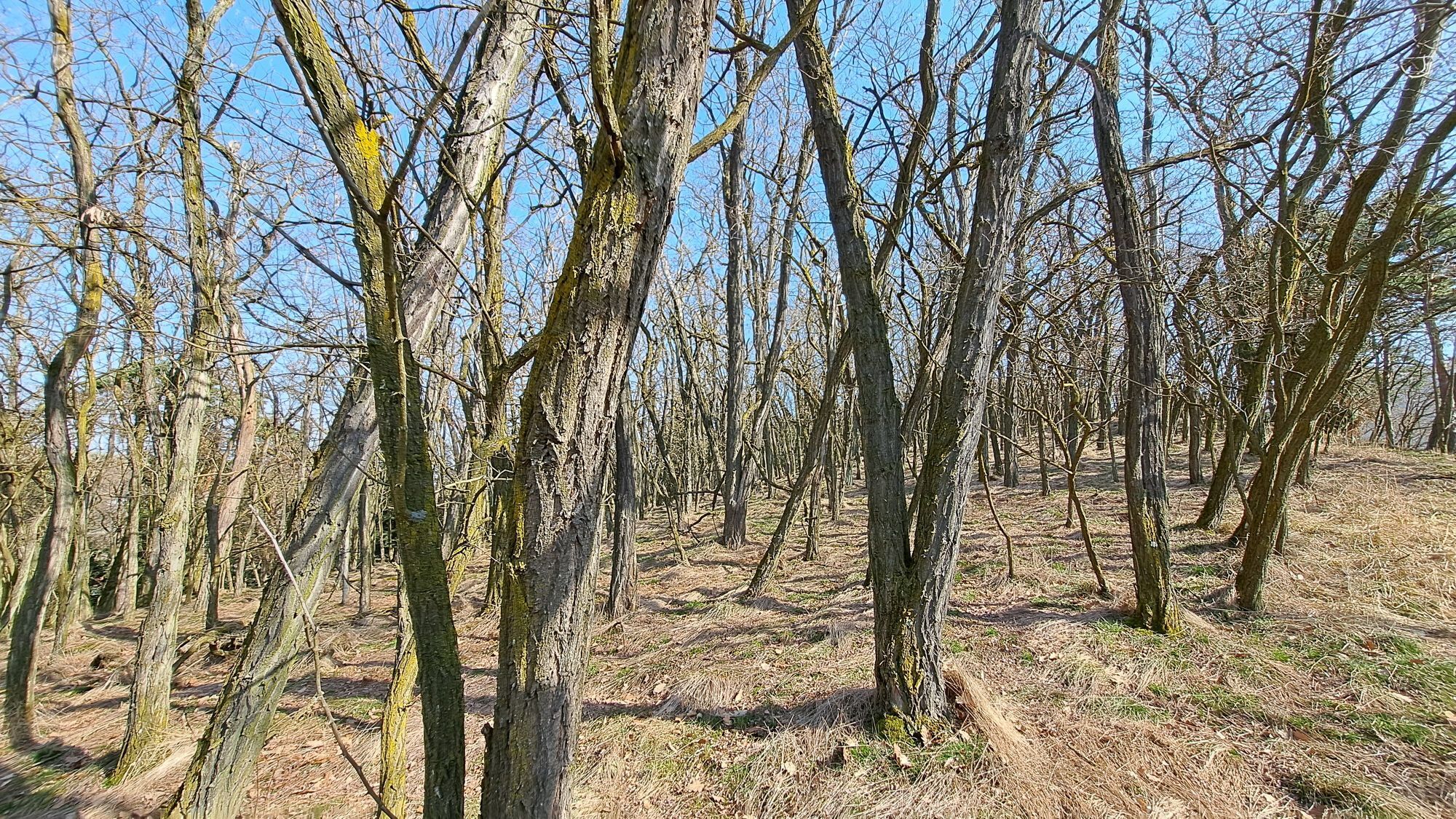
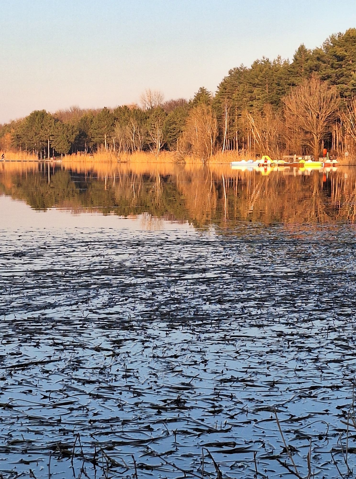
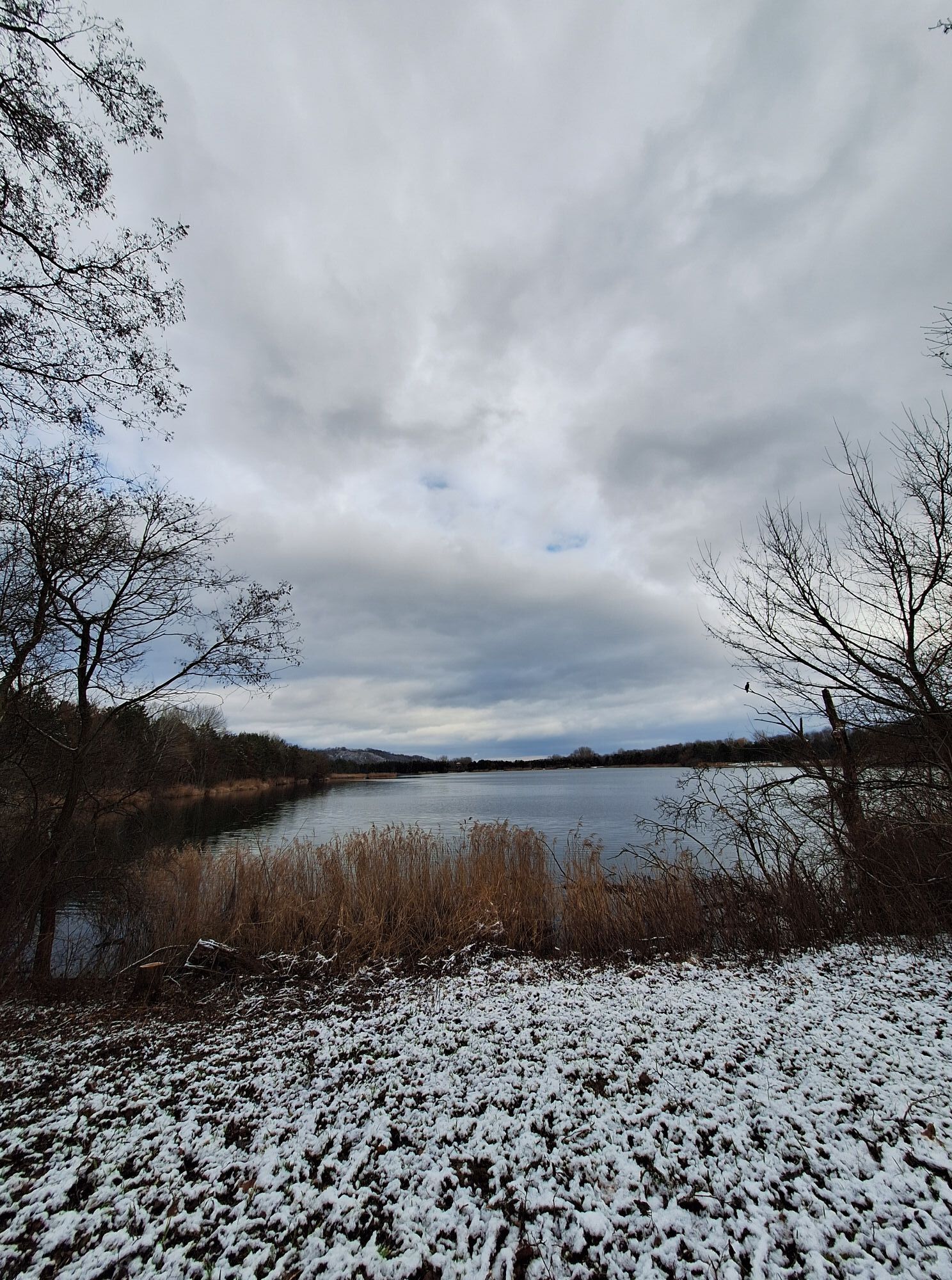
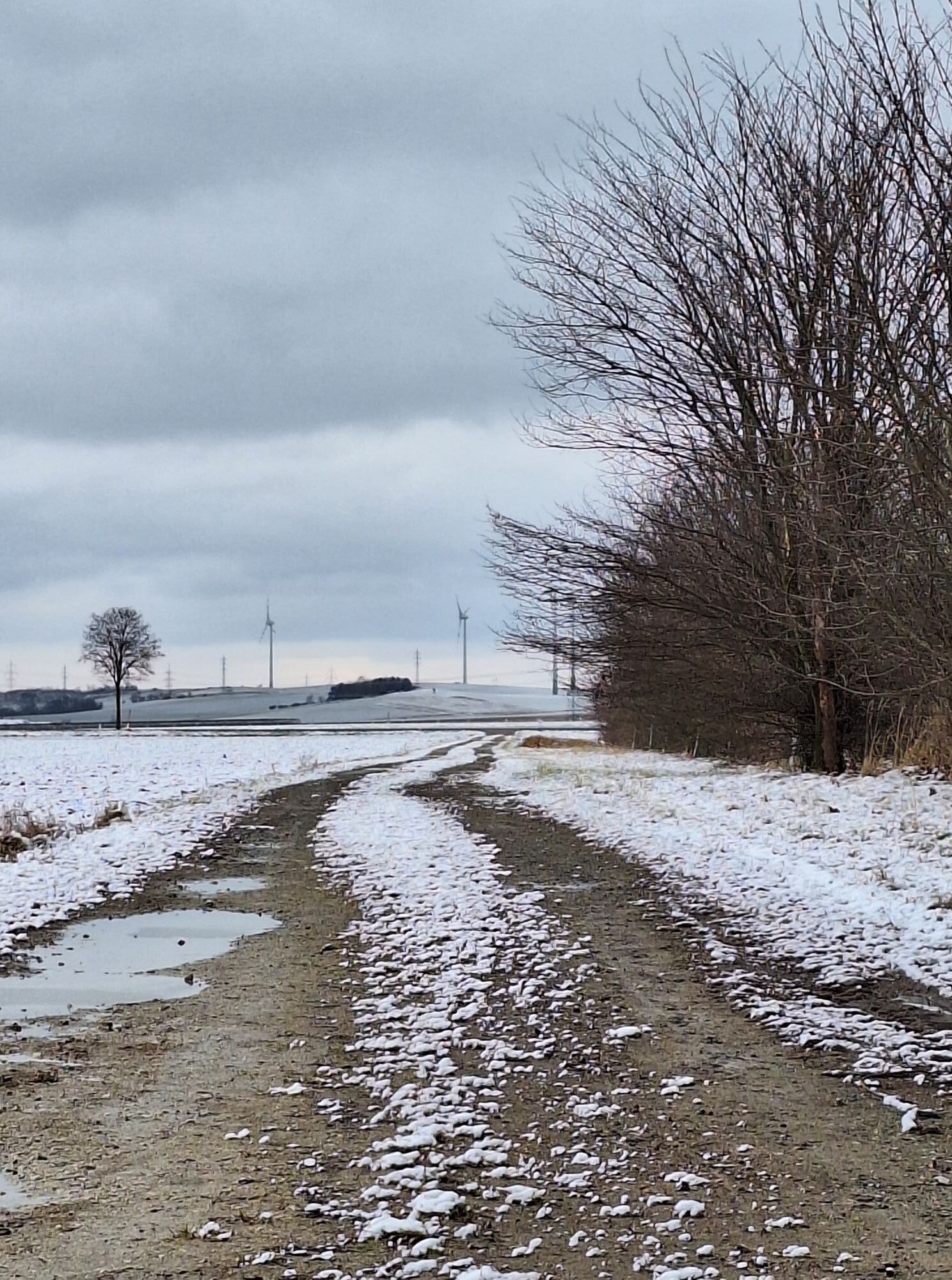
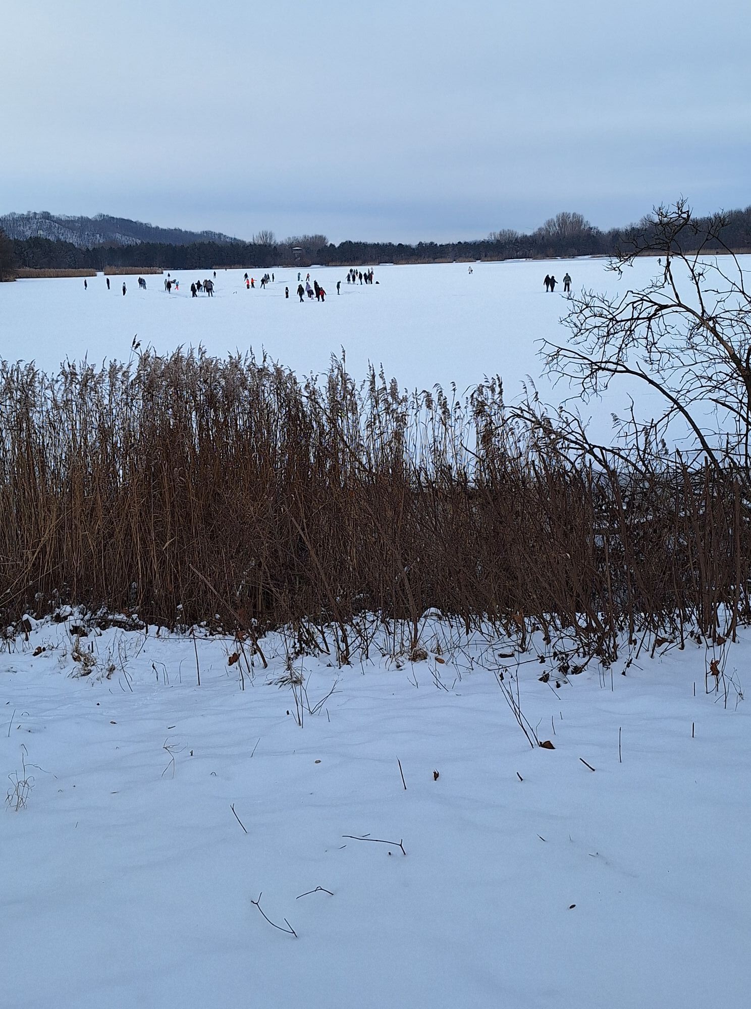
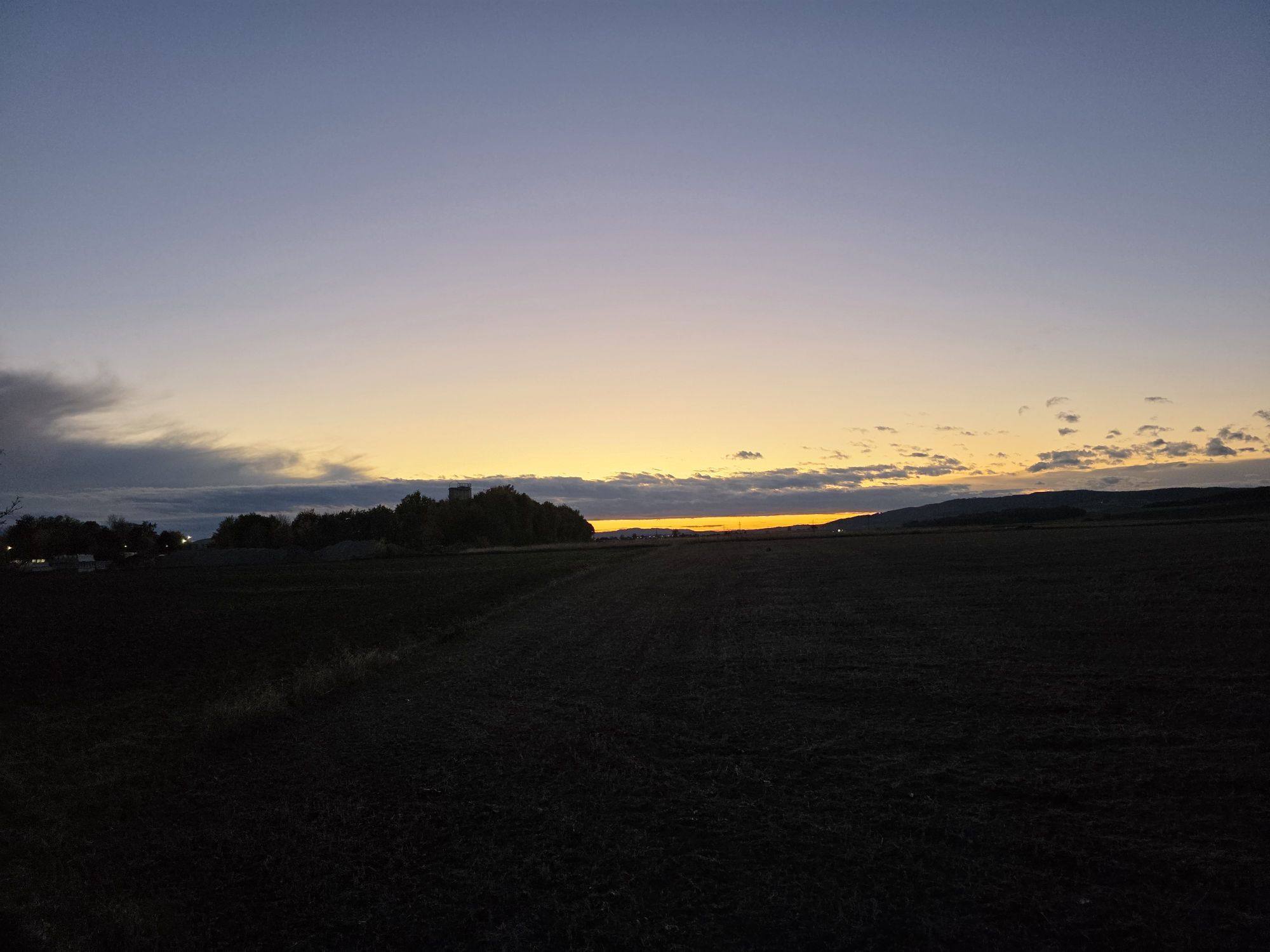
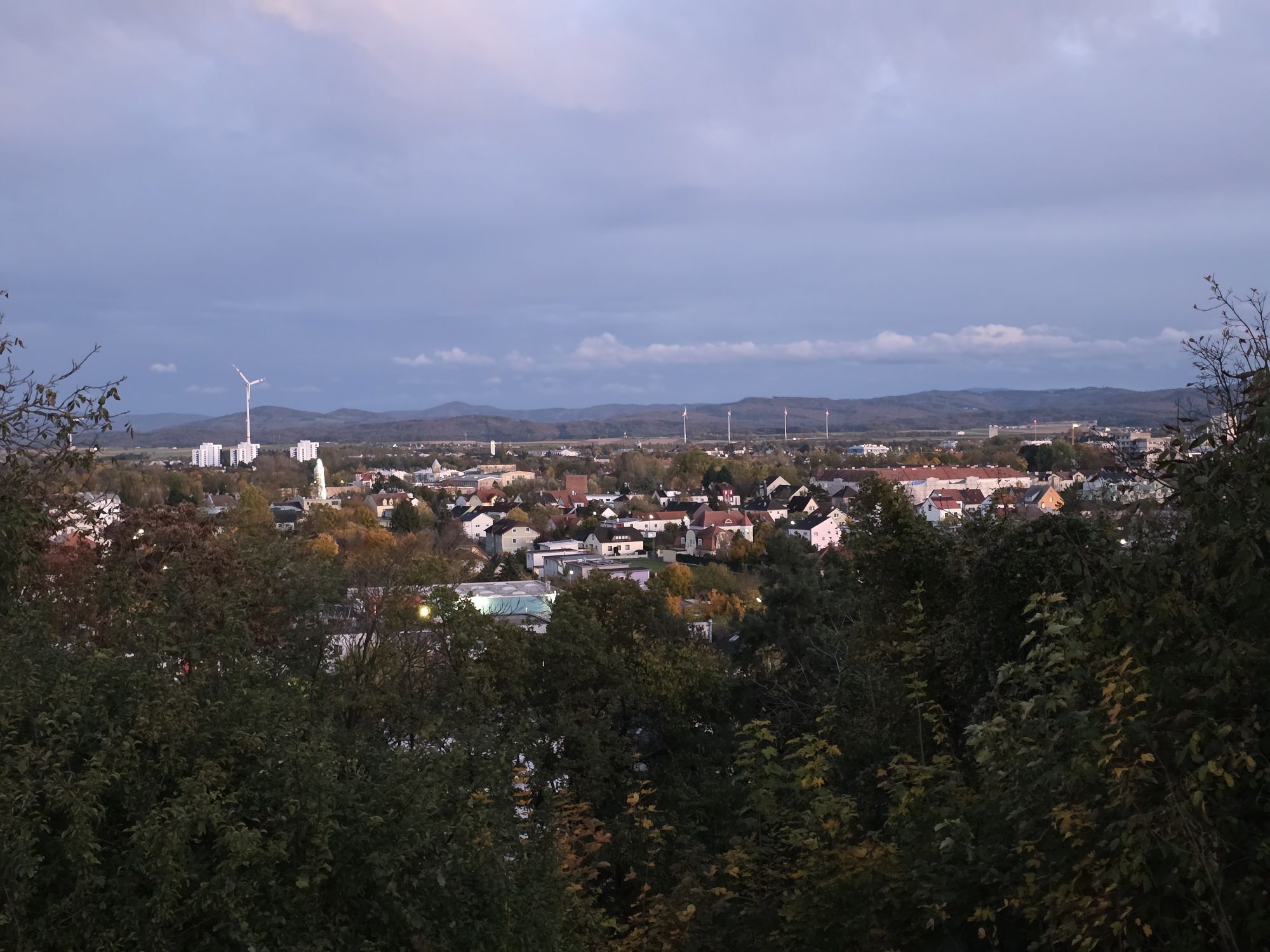
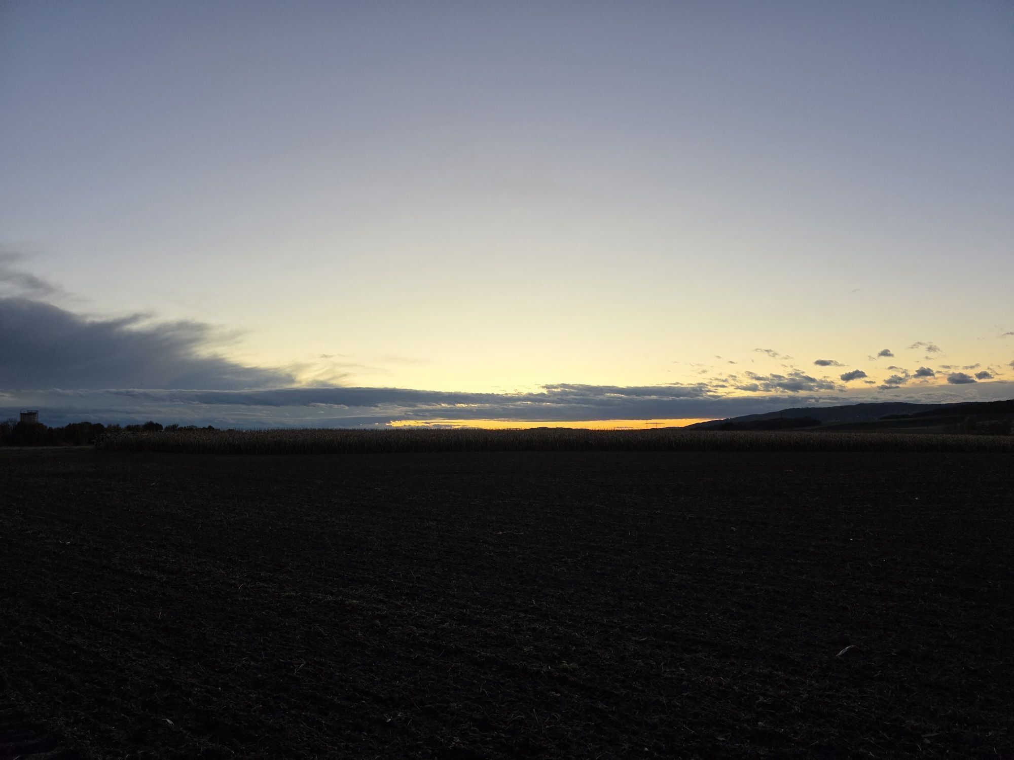
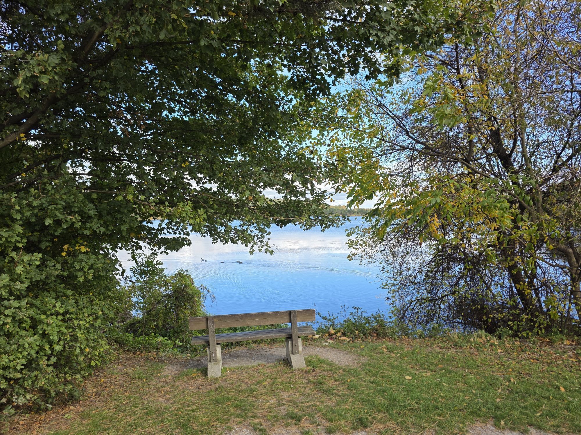
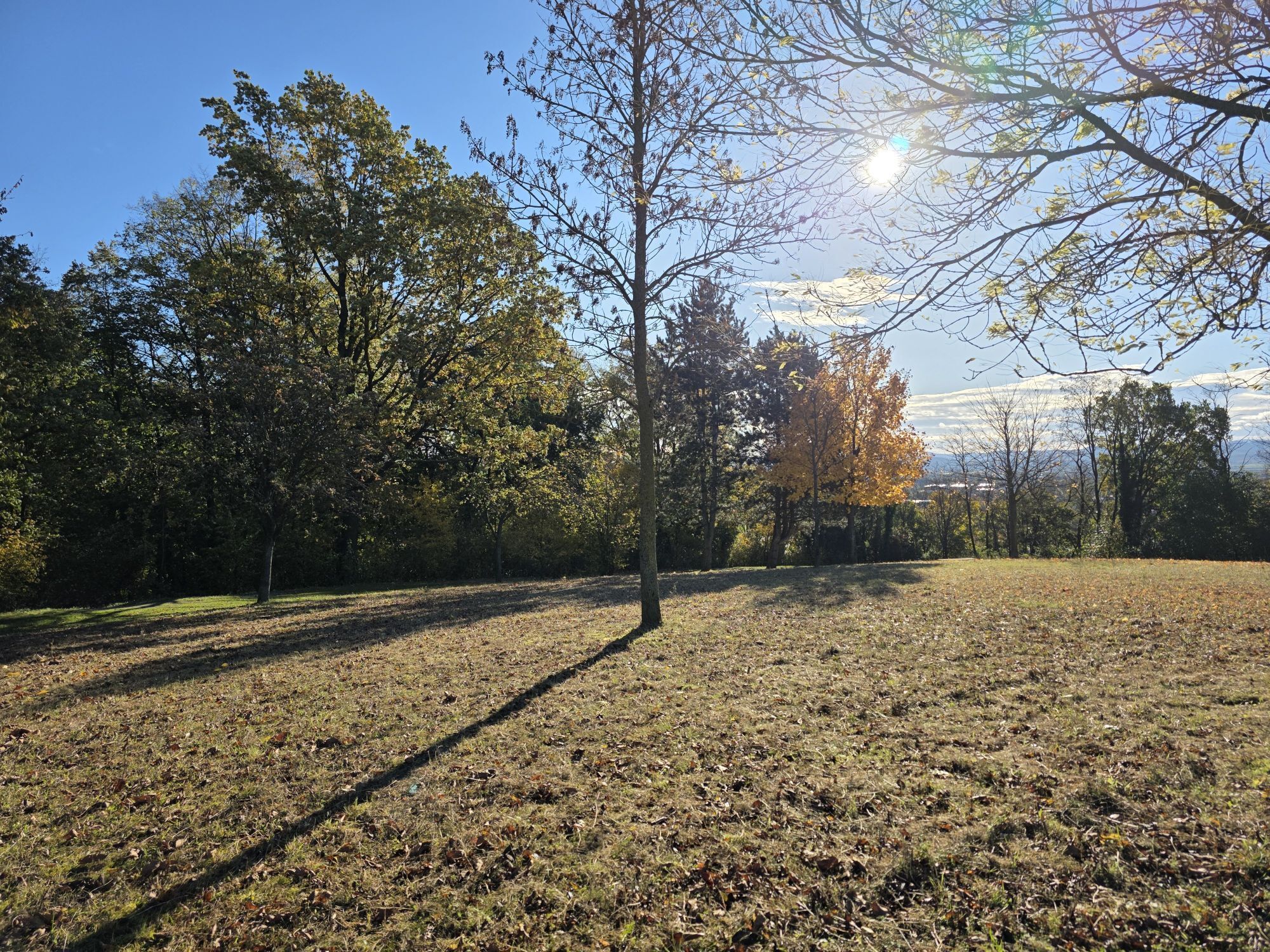
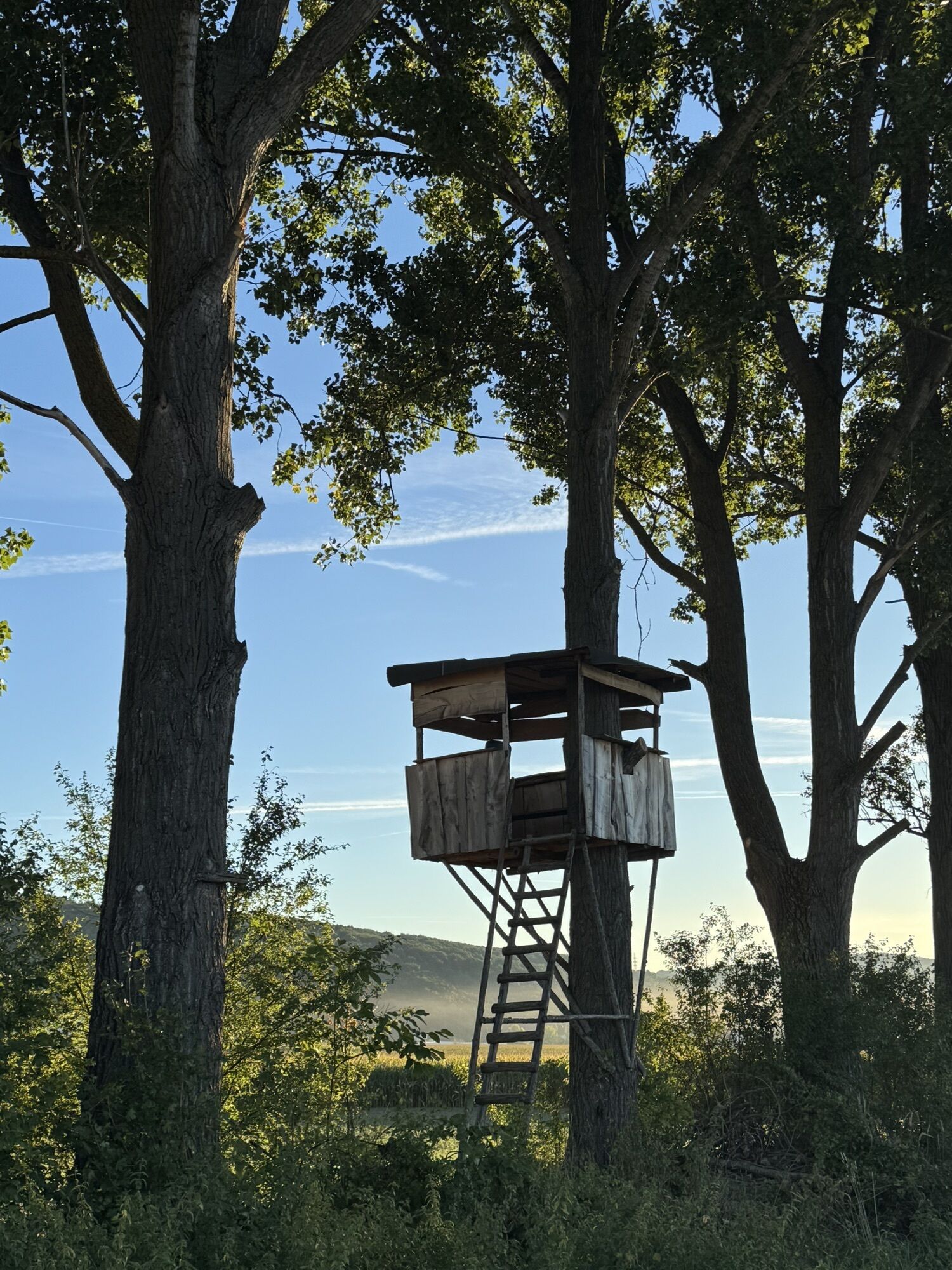
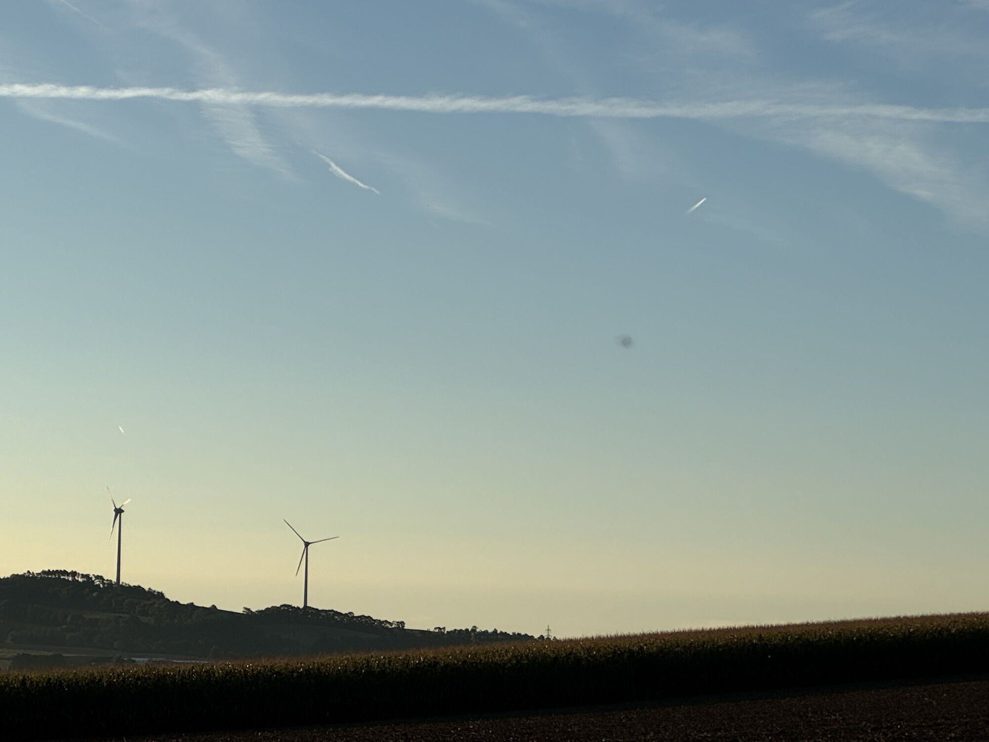
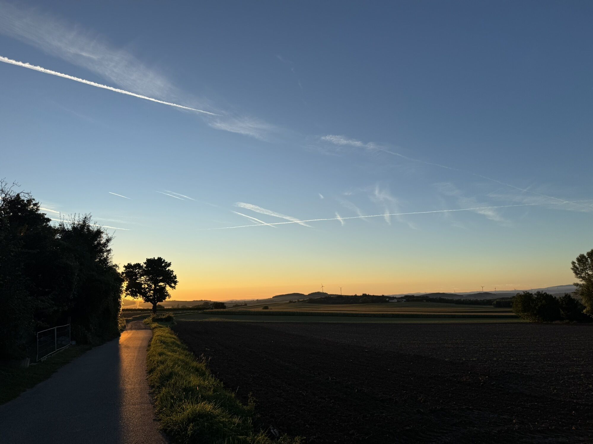
The Fladnitztal Bike Route is a loop that starts and ends at Lake Viehofner in St. Pölten and runs through Statzendorf, taking in the peaceful, scenic region of western Lower Austria. The mostly flat route...
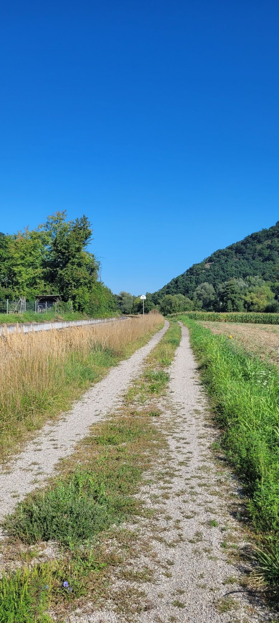
The Fladnitztal Bike Route is a loop that starts and ends at Lake Viehofner in St. Pölten and runs through Statzendorf, taking in the peaceful, scenic region of western Lower Austria. The mostly flat route runs away from busy roads through gently rolling countryside, fields, meadows, and small villages, making it ideal for families, recreational cyclists, and leisure cyclists.
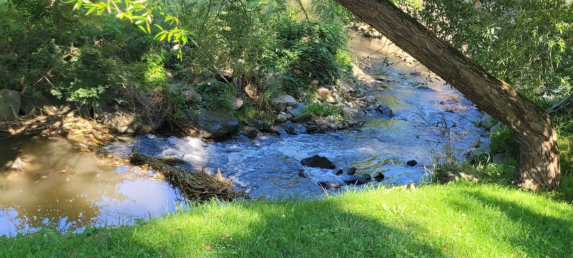
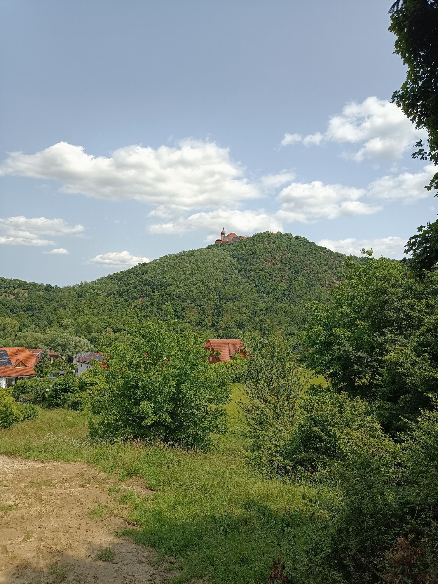
Along the route, there are frequent beautiful views of the cultural landscape, small chapels, and typical village scenes. On the way back, the route leads via Karlstetten back to Lake Viehofner, where rest areas and quiet stretches invite you to take a break, and the proximity to the Fladnitz River creates a pleasant, natural atmosphere. This loop tour combines exercise, nature experiences, and a regional atmosphere away from the major cycling routes.

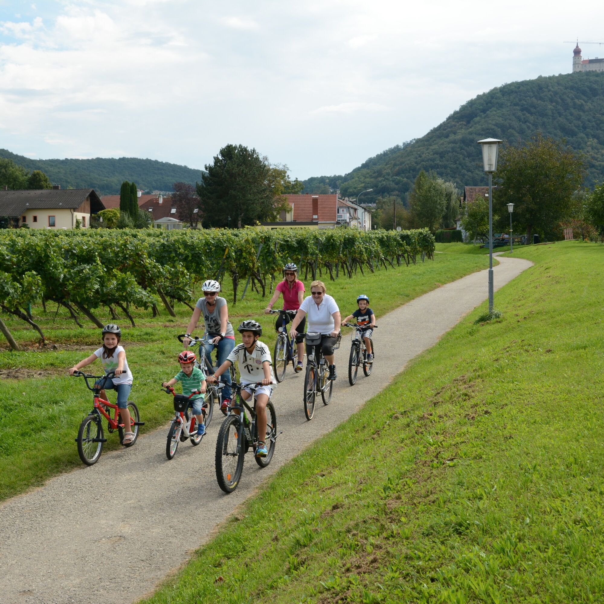
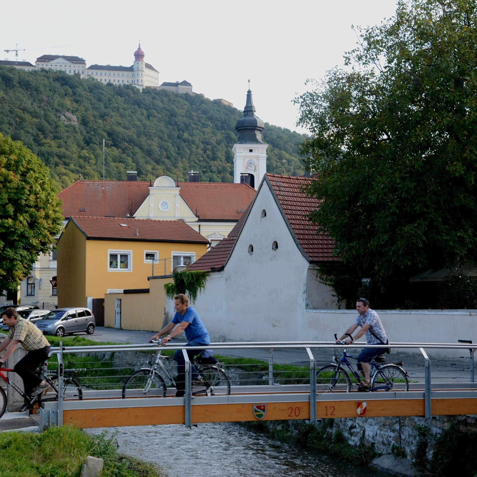
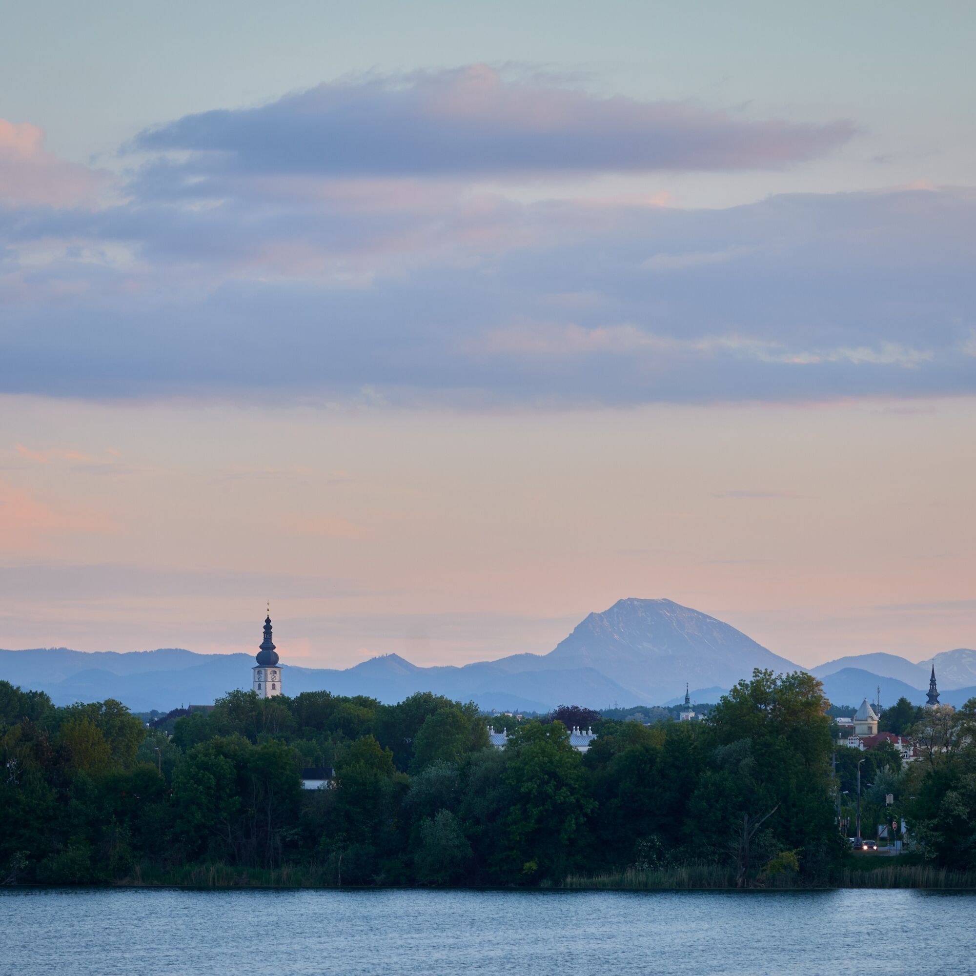

The loop trail starts at Großer Viehofner See in St. Pölten. From there, the route first heads toward Statzendorf, passing fields, meadows, and gentle hills. After passing through Statzendorf, follow the signs to Paudorf and continue into the Wölbling Basin, along the Fladnitz River and through the Dunkelsteiner Forest.
At the sports facilities in Furth bei Göttweig, you’ll reach the Danube cycle path, where you can take a short break. On the way back, the route runs via Obritzberg-Rust and Karlstetten back to Lake Viehofner. Along the way, inns, wine taverns, and rest areas invite you to take a break, while numerous sights—such as the Avaturm, Villa Betonie, as well as churches, chapels, and wayside crosses—line the path.
The route is mostly flat to gently rolling, well-signposted, and can be traveled in either direction. It’s possible to cycle only part of the route thanks to several train stops along the way. This loop tour combines nature, exercise, and regional culture, making it ideal for families, leisure cyclists, and recreational tours.
The route runs mostly along public roads with regional traffic. Therefore, cyclists must have the appropriate equipment and permits.
Travel to St. Pölten—take the St. Pölten Ost exit.
LUP Bus – from the main train station, take lines 3, 6, or 7 to the Viehofner See stop (100 meters to the starting point)
Parking lot near the Viehofner Lakes
Uzyskaj wgląd
Zawsze na żywo z ponad 9 500 kamer internetowych. bergfex Jako użytkownik Pro, możesz teraz zobaczyć odpowiednie kamery internetowe dla wielu wycieczek w aplikacji wycieczki od. Pozwala to na bezpośredni podgląd aktualnych warunków.
Popularne wycieczki w okolicy
-
4,6
Welterbesteig Wachau 02: Dürnstein-Weißenkirchen
światłodługodystansowy szlak pieszy 15,9 km -
4,4
Welterbesteig Wachau 03: Weißenkirchen-Spitz
światłodługodystansowy szlak pieszy 10,4 km -
4,6
Welterbesteig Wachau 01: Krems-Dürnstein
światłodługodystansowy szlak pieszy 12,3 km -
4,9
Vogelbergsteig -Kanzel- Fesselhütte - Ruine Dürnstein zum Heurigen in Furth
średniWędrówka 7,59 km -
4,7
Rundhöhenwanderweg Weißenkirchen in der Wachau - Schildhütten - Cholerakreuz - Weißenkirchen
światłoWędrówka 8,75 km -
4,7
Wachau: Seekopf - Hirschwand
średniWędrówka 10,4 km -
4,6
Krems (Welterbesteig) - Dürnstein - Vogelbergsteig - Kanzel - Fesslhütte - Krems
średniWędrówka 18,0 km -
4,5
Panoramaweg Weissenkirchen
światłoWędrówka 5,04 km -
4,5
Maria Langegg - Rote Wand - Hoher Stein - Kastlkreuz
średniWędrówka 11,4 km -
4,4
Wachauer Marillenerlebnisweg, Krems-Angern
światłoWędrówka 6,04 km
Wędrówki i tropienie


Nie przegap ofert i inspiracji na następne wakacje
Twój adres e-mail została dodana do listy mailingowej.





