







Römerland Carnuntum Bike Route - Around the Ellender Forest
Discover the Römerland Carnuntum Cycle Tour 54 as a circular tour around the Ellender Forest. Start in Fischamend along Enzersdorfer Straße and the Fischa-Au to Enzersdorf an der Fischa. Cycle along the...
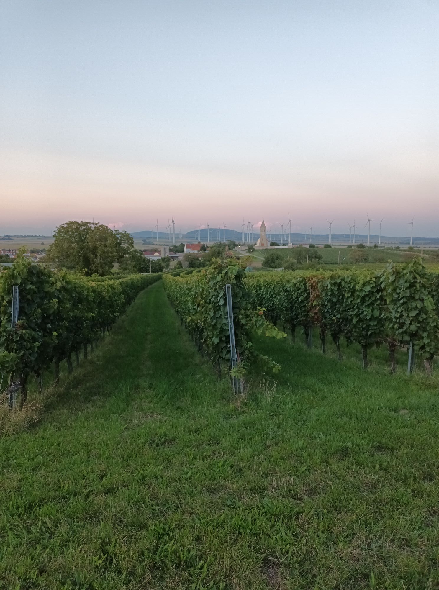
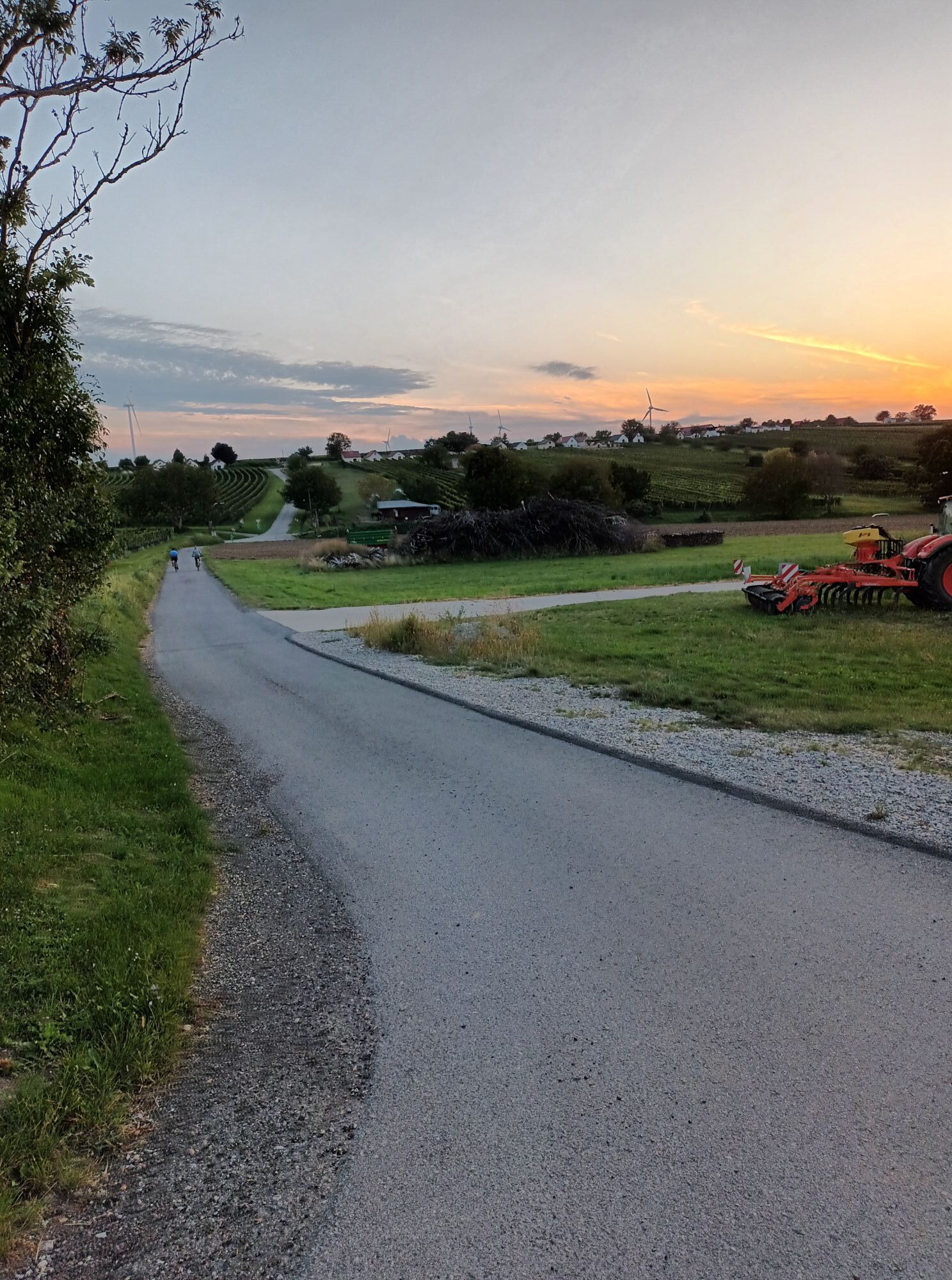
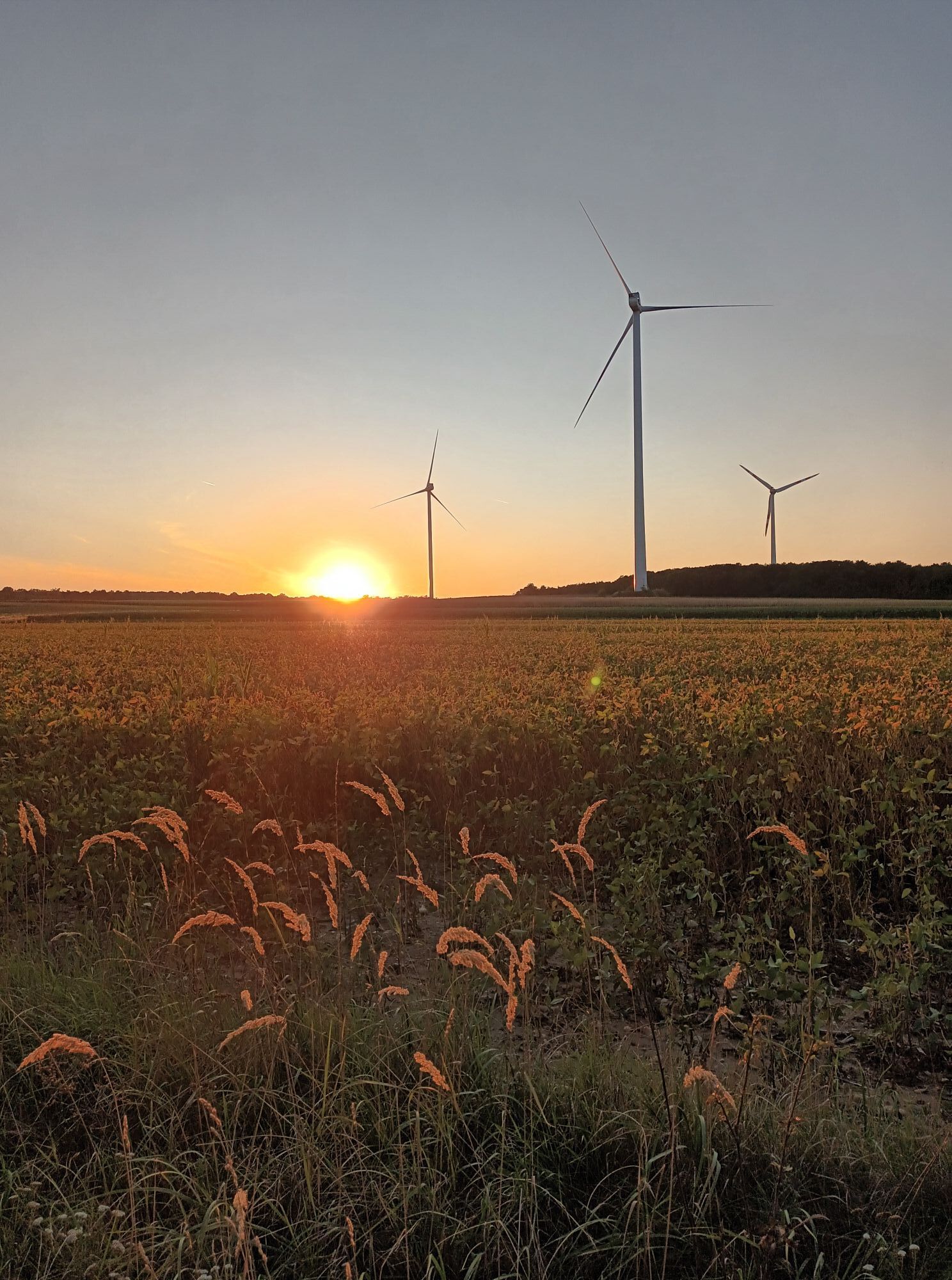
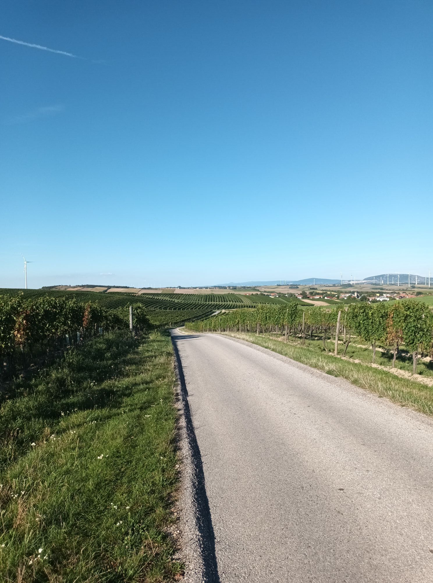
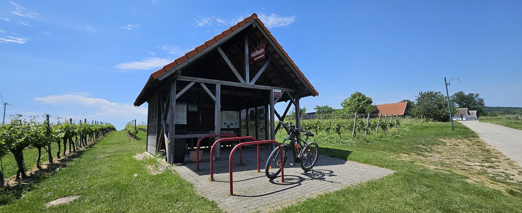
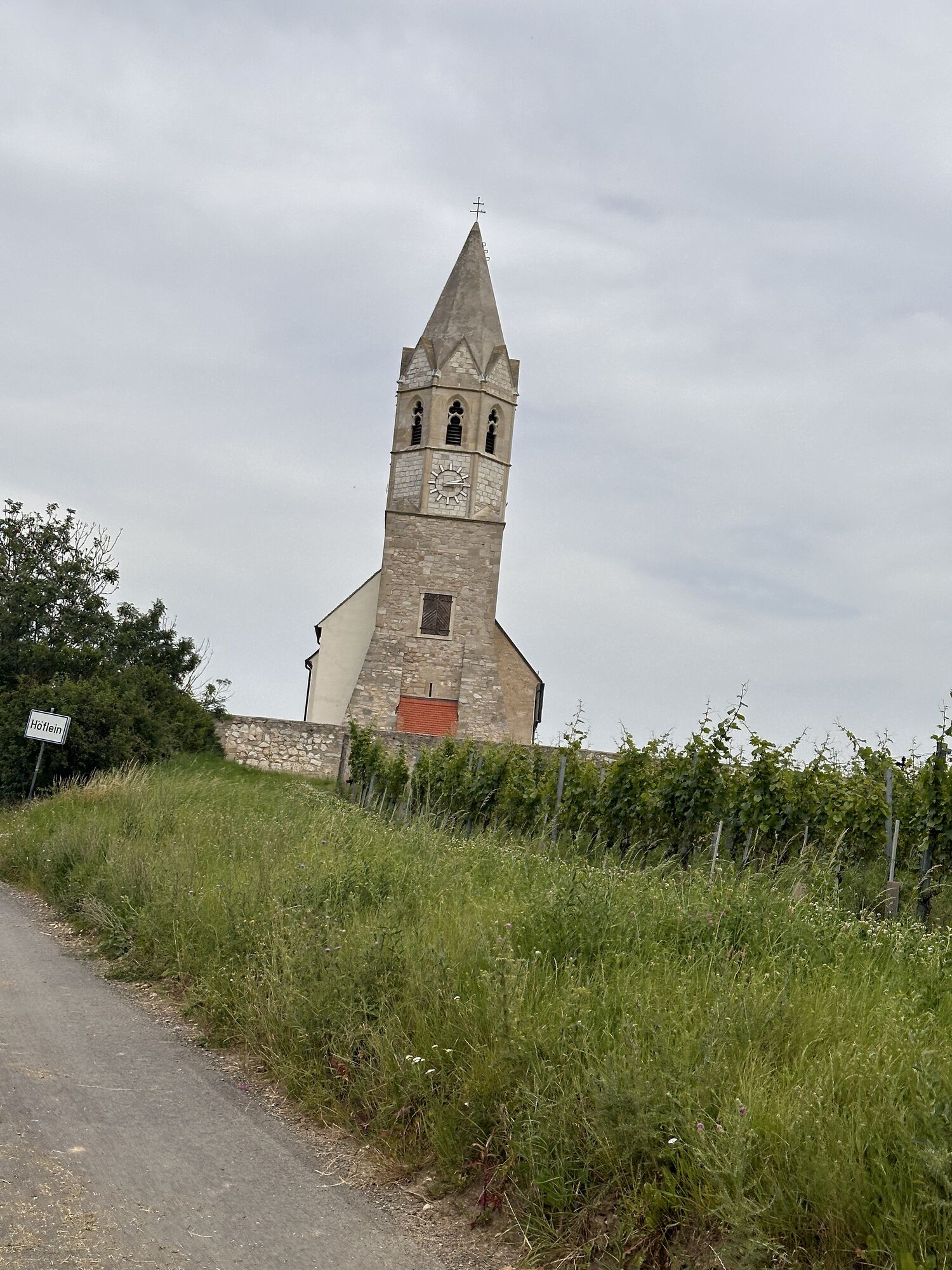
Discover the Römerland Carnuntum Cycle Tour 54 as a circular tour around the Ellender Forest. Start in Fischamend along Enzersdorfer Straße and the Fischa-Au to Enzersdorf an der Fischa. Cycle along the wine cellar lane and along country lanes to the wine villages of Arbesthal, Göttlesbrunn and Höflein. In Göttlesbrunn you pass large vineyards and reach the wine cellar lane in Höflein with views of the church and Hundsheim mountains. The route continues along wind turbines and the Ellender forest to Scharndorf and Regelsbrunn. The tour ends after a paved path next to the Pressburger Straße and along field paths finally back at the train station in Fischamend. Ideal for nature lovers and wine enthusiasts who want to experience a picturesque round trip.

Route description of the "Around the Ellender Forest" route when riding counterclockwise:
The route is signposted in both directions as "Römerland Carnuntum Bike Route 54", only the section from Fischamend to Enzersdorf must be ridden on the "Fischataler Radweg".
Starting at Fischamend train station on the Fischataler Radweg next to the B60 (Fischamender Straße/Enzersdorfer Straße) to Enzersdorf/Fischa (3.5 km). At the entrance to Enzersdorf, cross the B60 (caution - traffic regulations) to continue via Julius-Raab-Gasse and Seegrabenweg onto the asphalt path Ludwigshof.
Then through the Enzersdorf cellar lane to Ludwigshof (2.5 km) and continued on field paths to Arbesthal (6 km). You must ride a long stretch on Rustenbodenweg until the left turn onto the asphalt path Adelsberg until you reach L166 after the motorway underpass. Here, turn right onto the cycle path and ride up to the Arbesthal cellar lane. After one right and shortly thereafter a left turn, you reach Jägerstrasse and then turn right onto Kirchenweg to Arbesthal church.
Passing by Arbesthal church, continue on the asphalted Wiesenweg and Viertelswiesenweg to Göttlesbrunn (2.5 km). Then cross and briefly ride L166 (caution - traffic regulations), then turn right to cross the bridge to "Am Graben" and Pfarrgasse. Then turn left onto Kirchengasse. On this, pass through the wine village Göttlesbrunn and then follow the asphalted 'Güterweg Göttlesbrunn-Höflein' to Höflein (5.5 km to Höflein church). Then turn right onto Hohen Weg in the Höflein cellar lane and left to Kirchenberg, crossing a side street (caution - traffic regulations).
From Kirchenberg, descend steeply to the main road (L2039). Then turn left and ride on the main road to the junction to turn right onto the asphalted 'Wienerweg'. Turn right onto the field path to Viehtrifft-Feldweg and then continue to Scharndorf (5.5 km).
Scharndorf is left again at the village entrance, continuing on the field path 'Wiener Weg' to Regelsbrunn (2.5 km). Before the railway crossing, turn left onto the asphalted accompanying path south of Pressburger Straße and ride to Haslau/Donau train station. At the station, turn left and then right onto 'Margarethner Weg' to Maria Ellend. Then turn right onto Hofstraße and ride to Maria Ellend train station (7 km).
Before the railway crossing here, turn left onto the asphalted field path to the crossing of L166 (caution - traffic regulations). Then continue along the field path to Fischamend (6.5 km). Ride under the motorway and via 'Pfarrweg' towards the Fischamend water tower. Turn left onto 'Smolekstraße' and ride to B60 to return on the cycle path to the train station.
On unpaved paths, there may be disruptions after heavy rain or repair work. The municipalities strive to quickly inspect the routes and repair any damage. Please ride carefully!
A4 exit Fischamend
Train:
ÖBB - S7: Fischamend, Maria Ellend, Regelsbrunn
Fish Amend
Uzyskaj wgląd
Zawsze na żywo z ponad 9 500 kamer internetowych. bergfex Jako użytkownik Pro, możesz teraz zobaczyć odpowiednie kamery internetowe dla wielu wycieczek w aplikacji wycieczki od. Pozwala to na bezpośredni podgląd aktualnych warunków.
Popularne wycieczki w okolicy
-
4,7
Eckartsauer Donaurunde
światłoWędrówka 8,96 km -
4,6
Ochsenbründlrunde
światłoWędrówka 8,34 km -
4,2
Stopfenreuther Au
światłoWędrówka 5,14 km -
4,8
Hainburg - Hundsheimer Berg - Schlossberg - Braunsberg
światłoWędrówka 13 km -
3,8
Hainburg Hundsheimer Berg Schlossberg Braunsberg 20190427
światłoWędrówka 9,60 km -
4,0
N25 wine educational trail
średniWędrówka 8,41 km -
5,0
Kirschblütenweg Donnerskirchen - Breitenbrunn - Donnerskirchen
światłoWędrówka 24,8 km -
5,0
Hundsheimer Berg - Karpaten
światłoWędrówka 4,75 km -
4,7
Rundwanderung Naturpark Donauauen
światłoWędrówka 12,9 km -
5,0
Hundsheimerberg - Angelos Touren
światłoWędrówka 6,36 km
Wędrówki i tropienie


Nie przegap ofert i inspiracji na następne wakacje
Twój adres e-mail została dodana do listy mailingowej.





