







GARDEN BIKE ROUTE- Sunflower Route
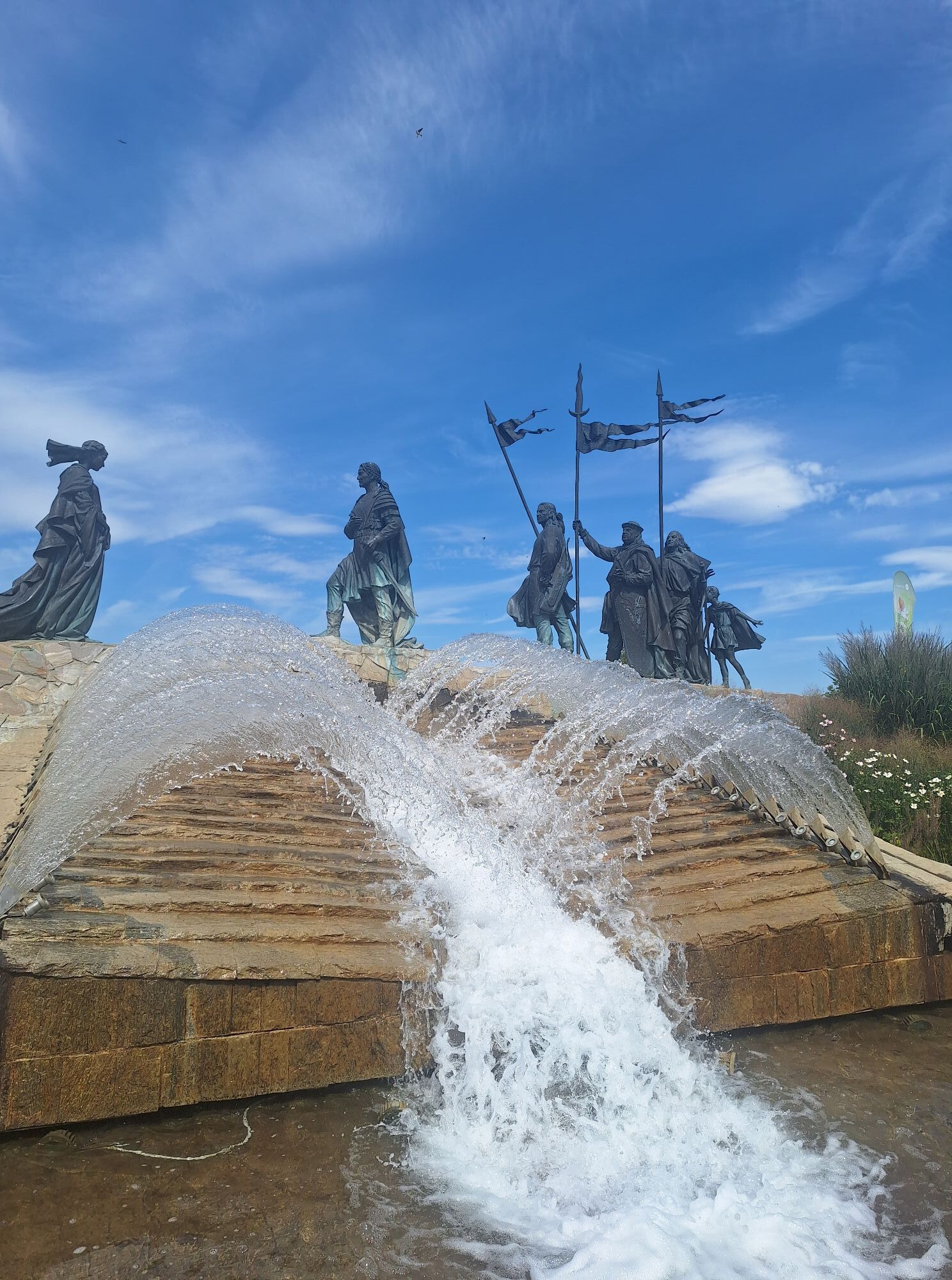
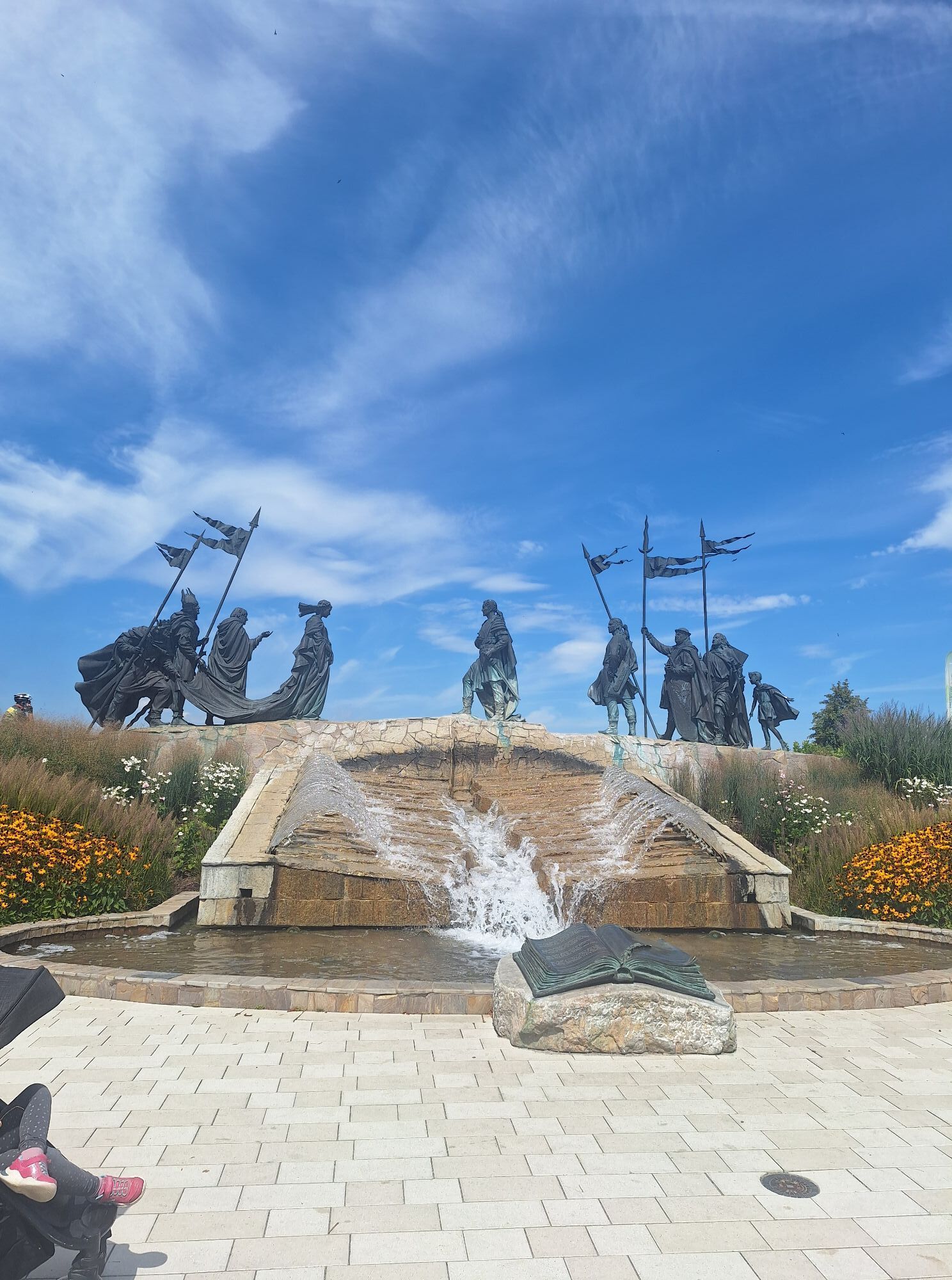
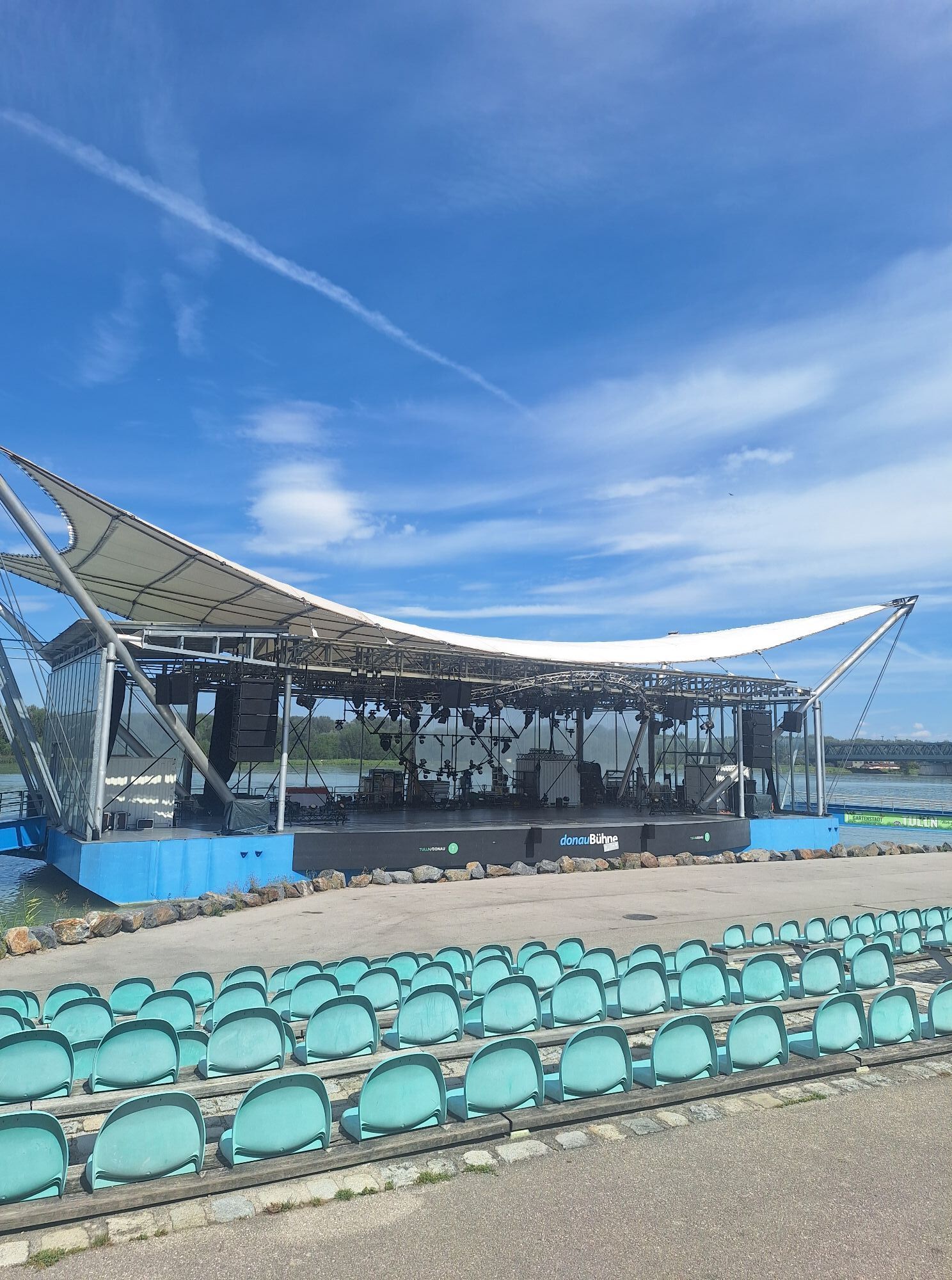
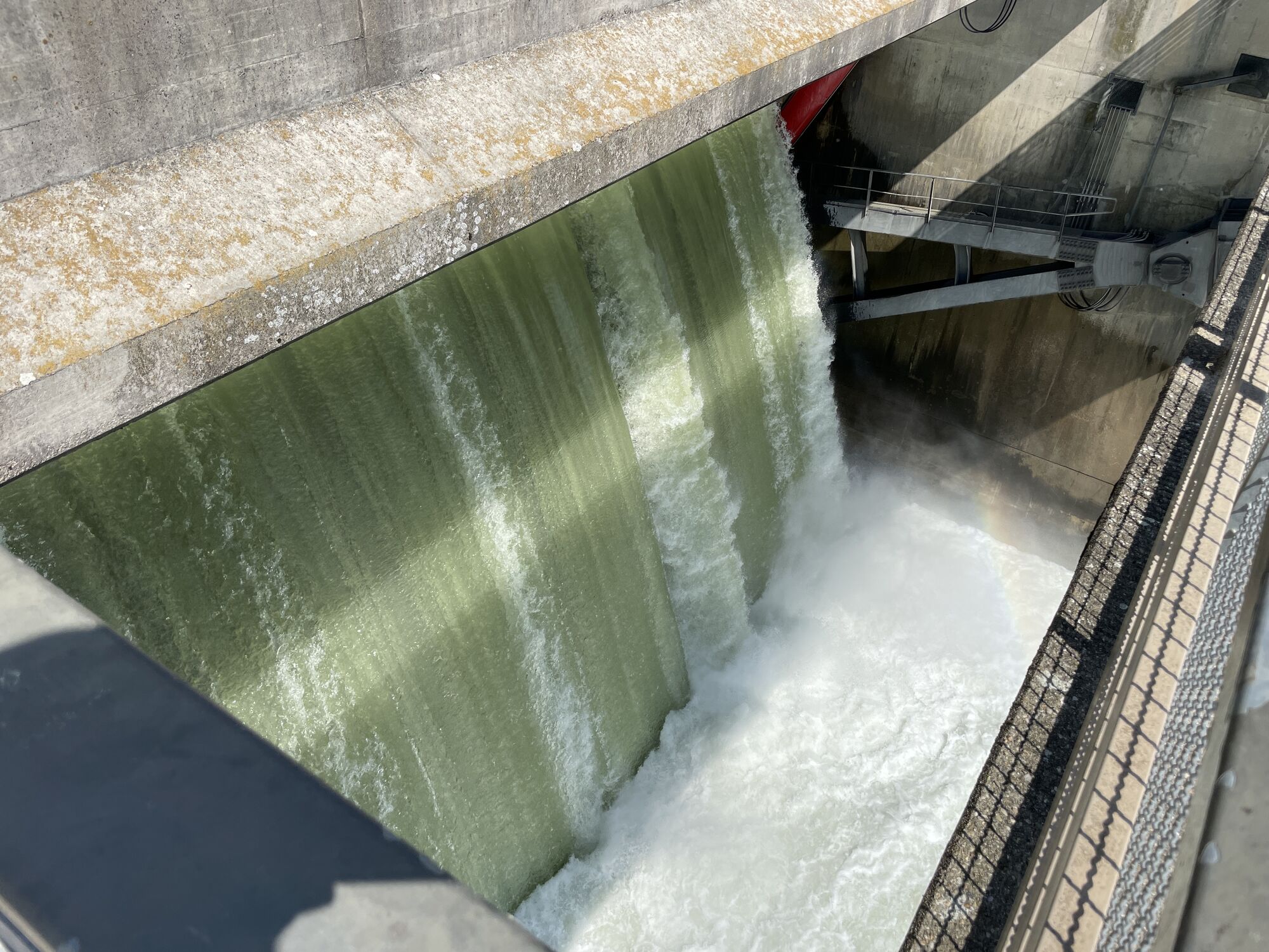
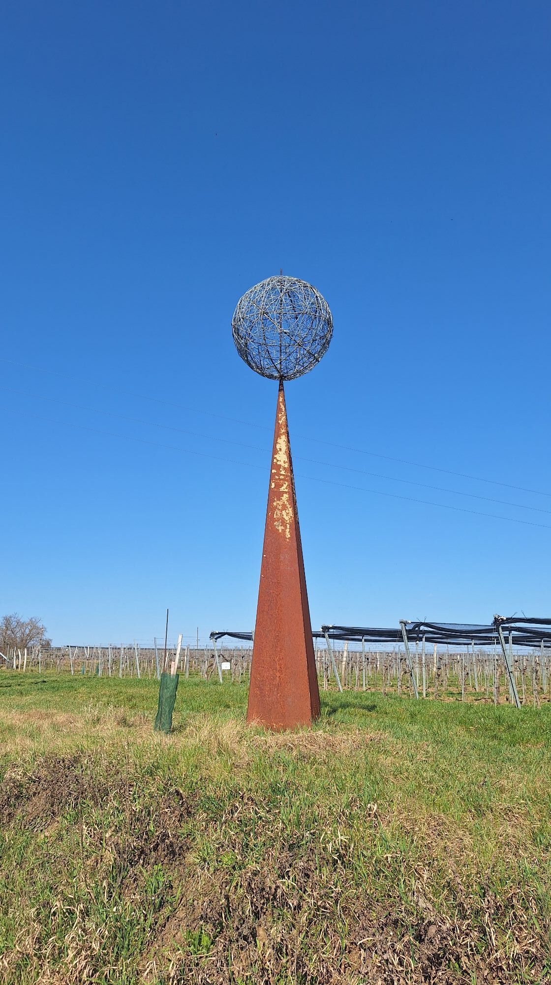

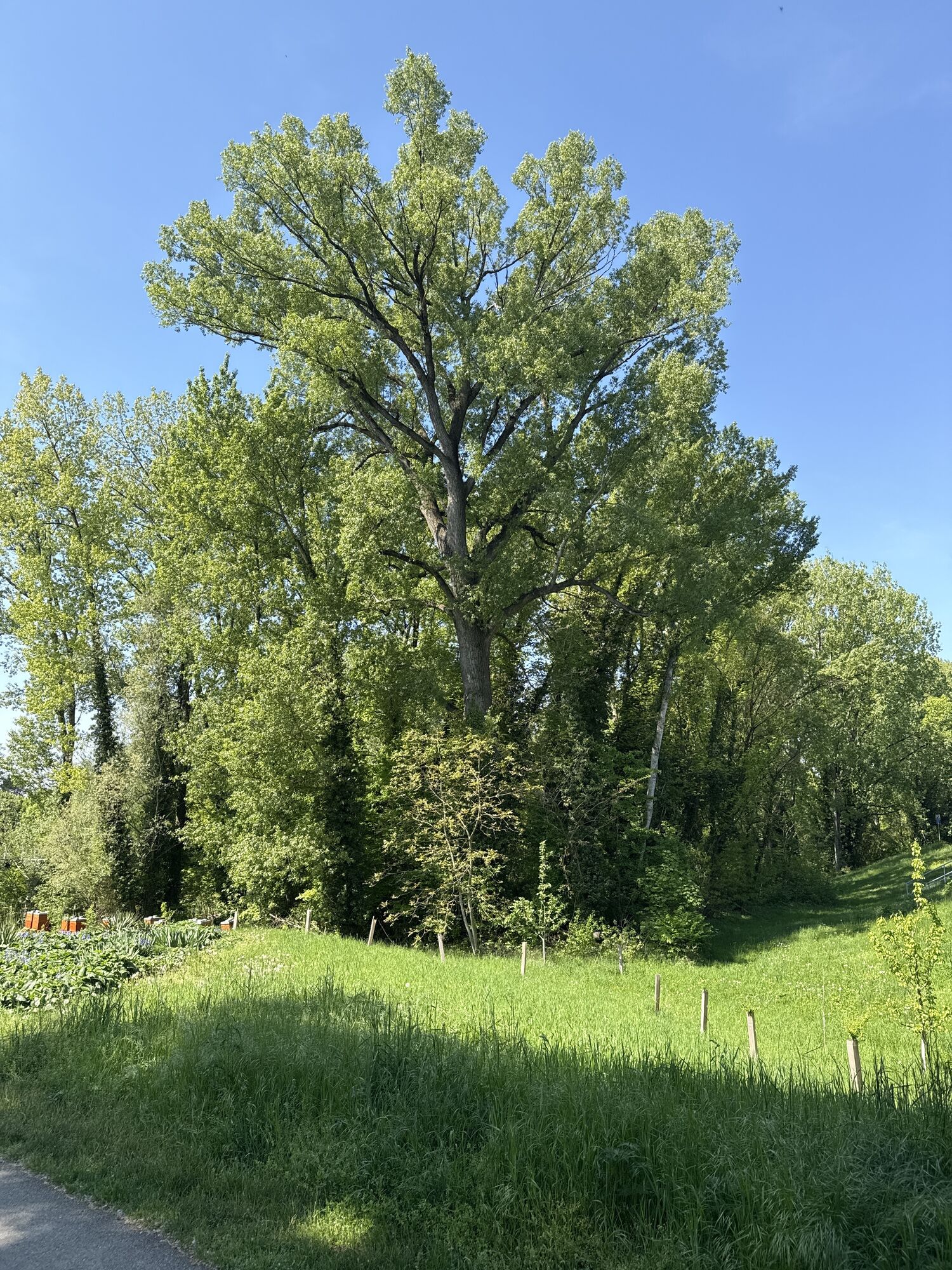
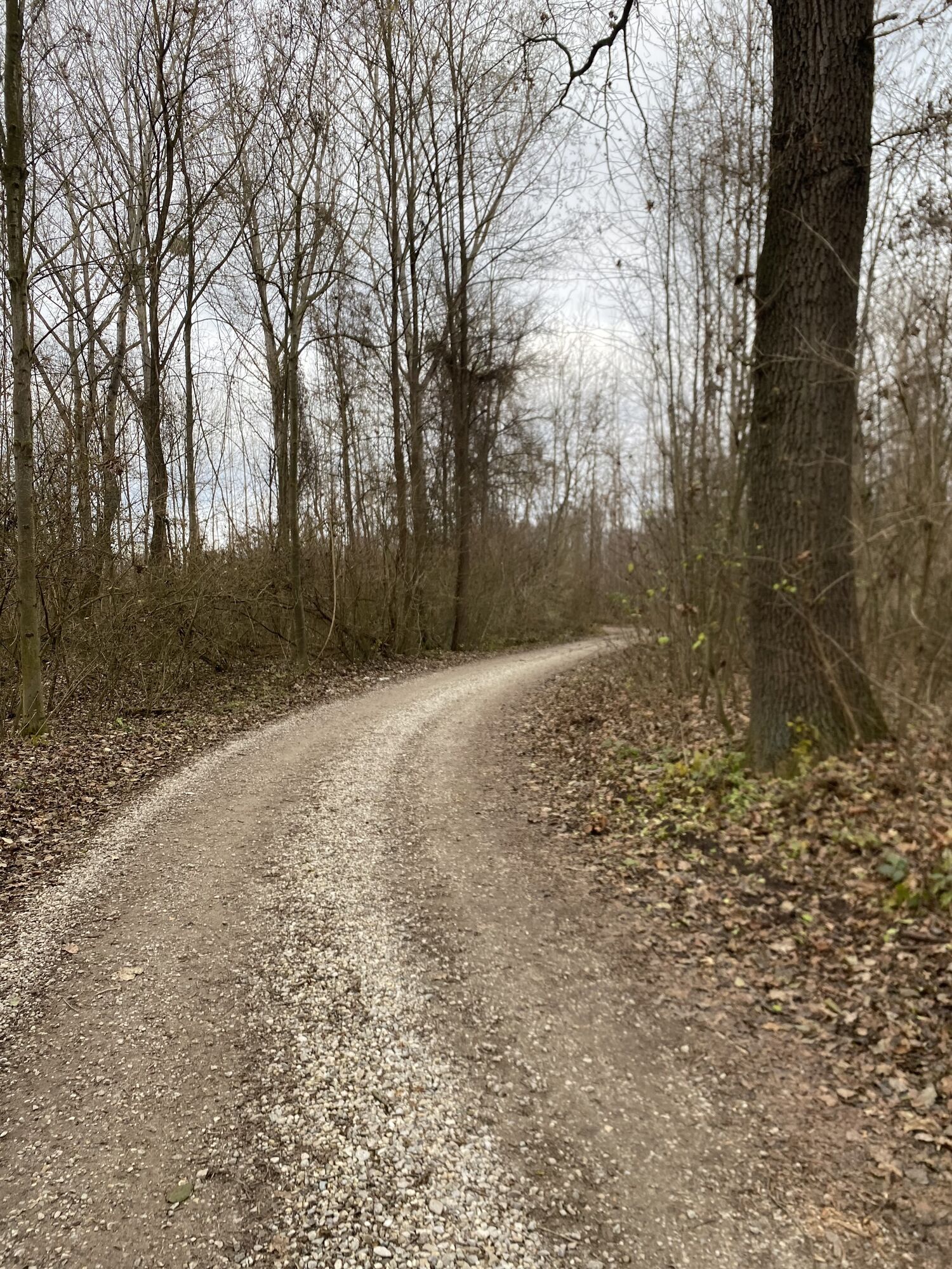
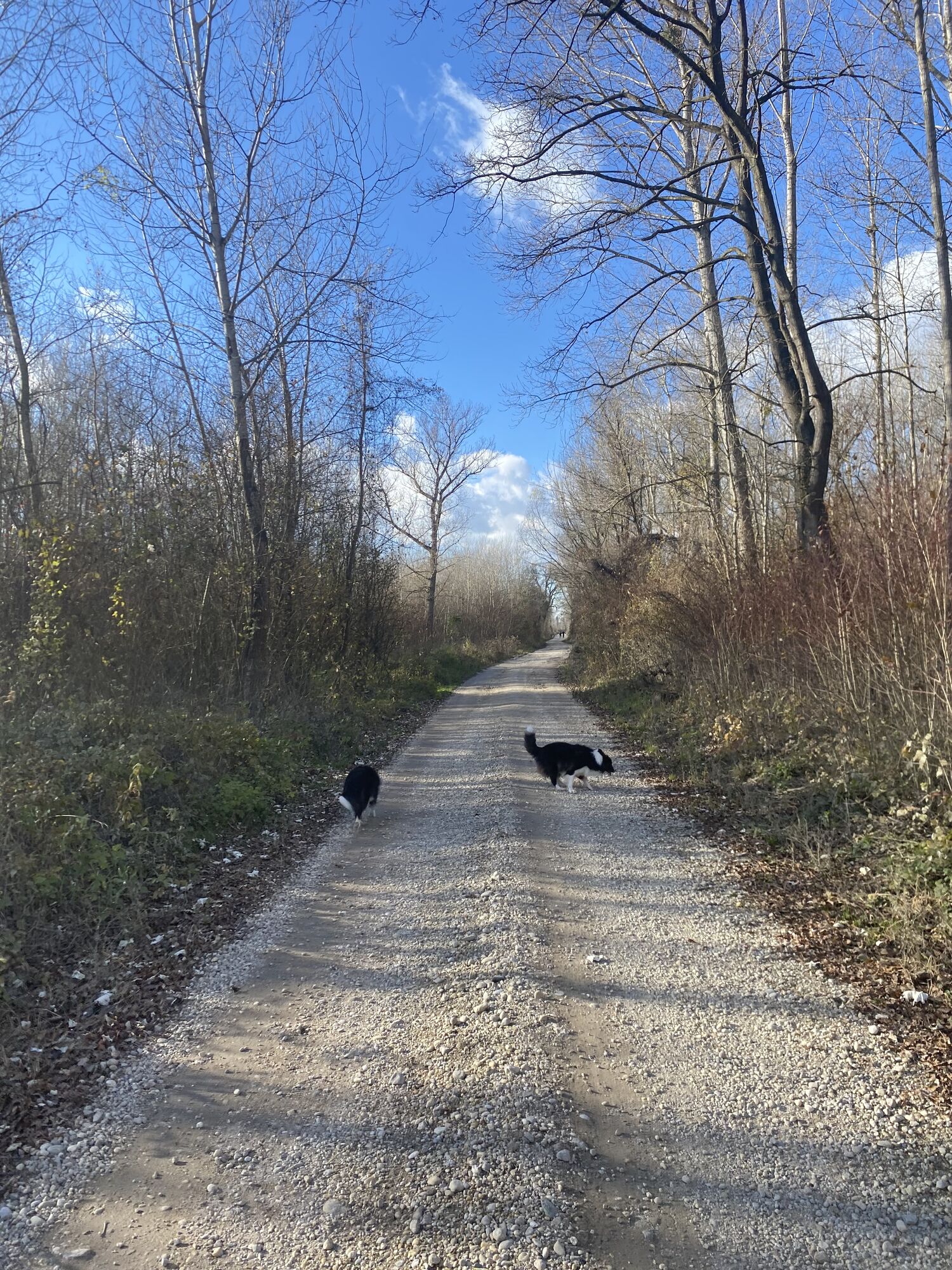
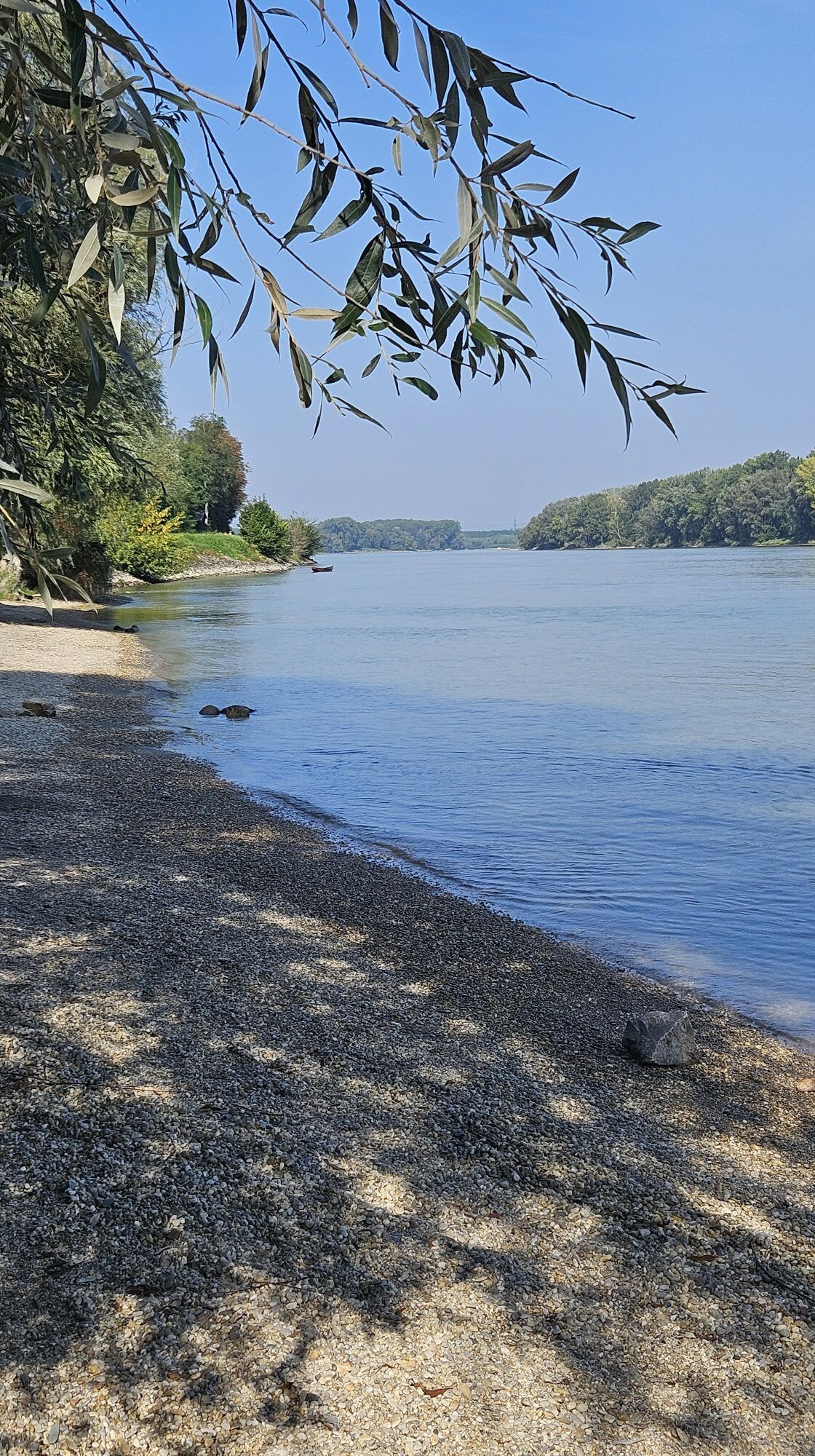
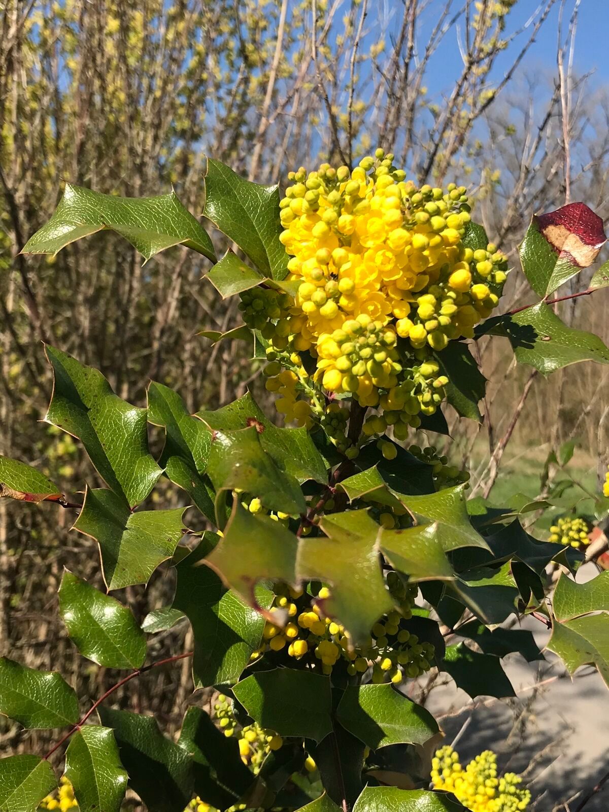
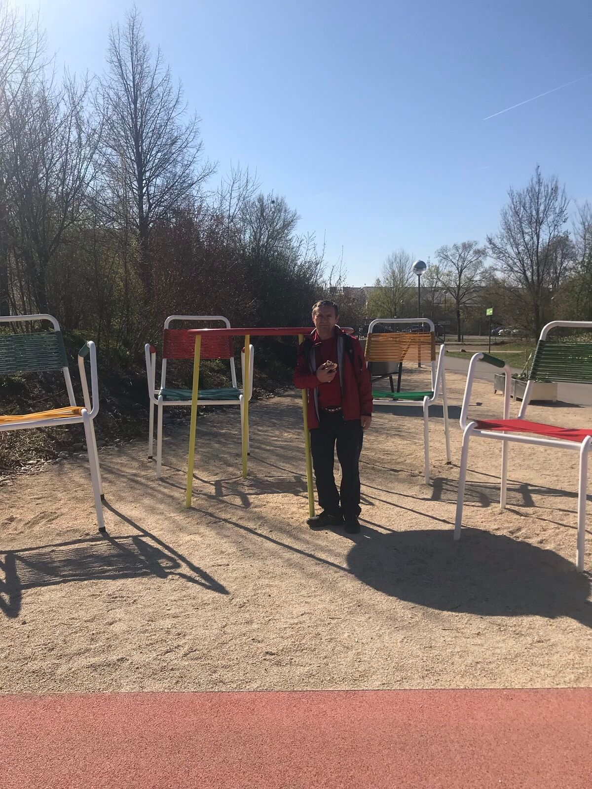
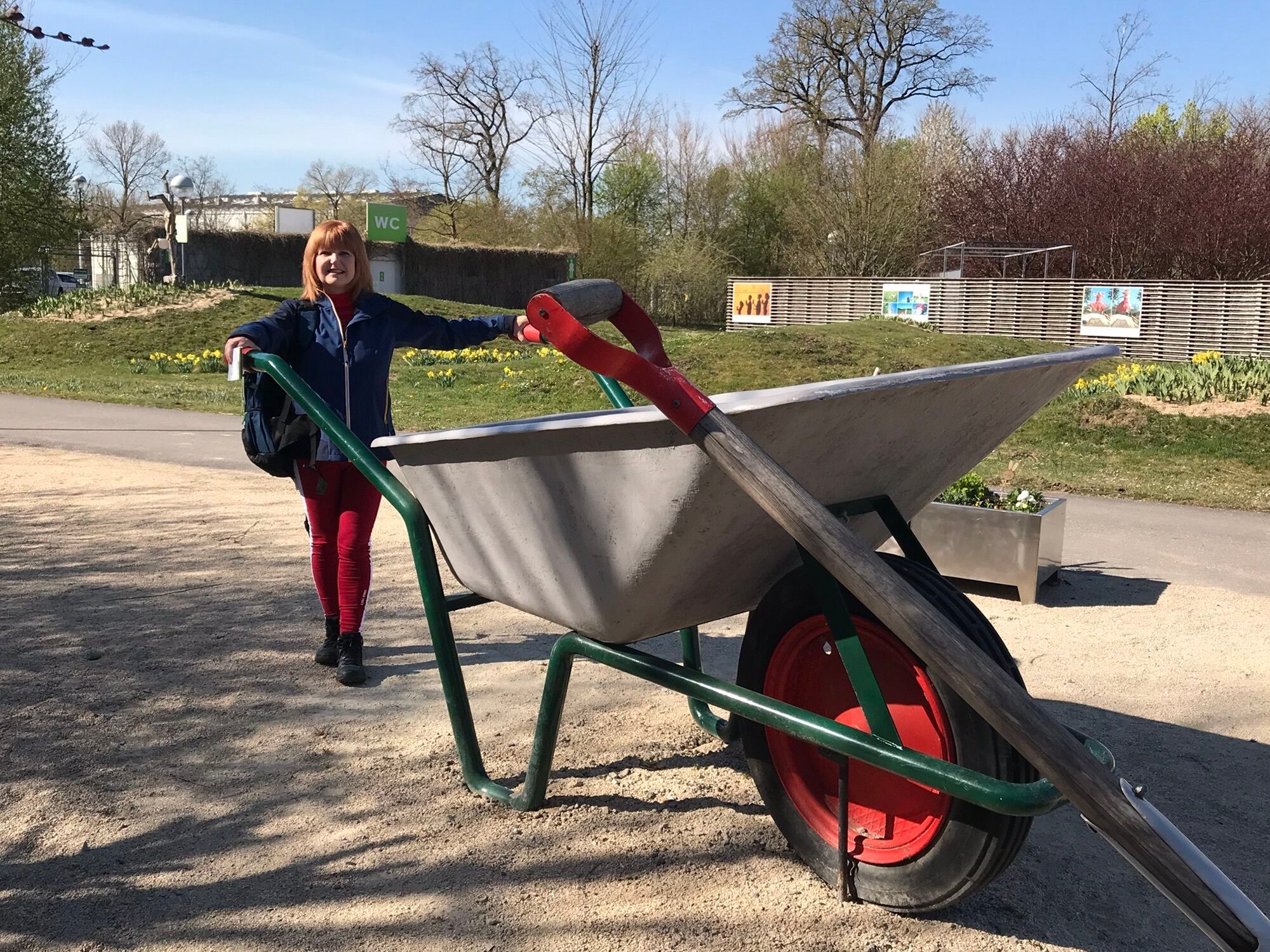
Garden bike tours - a fitting term, but what does it mean? Along the sunflower, poplar and rose tour, cyclists can experience the theme of gardens in the Tulln region in a new way. In addition to garden...
Garden bike tours - a fitting term, but what does it mean? Along the sunflower, poplar and rose tour, cyclists can experience the theme of gardens in the Tulln region in a new way. In addition to garden experiences, garden and tree artworks, there are also many show gardens and horticultural businesses along or in the immediate vicinity of the route. The sunflower tour starts in the garden city of Tulln and first leads west along the Danube cycle path and then north to the Wagram wine-growing region.
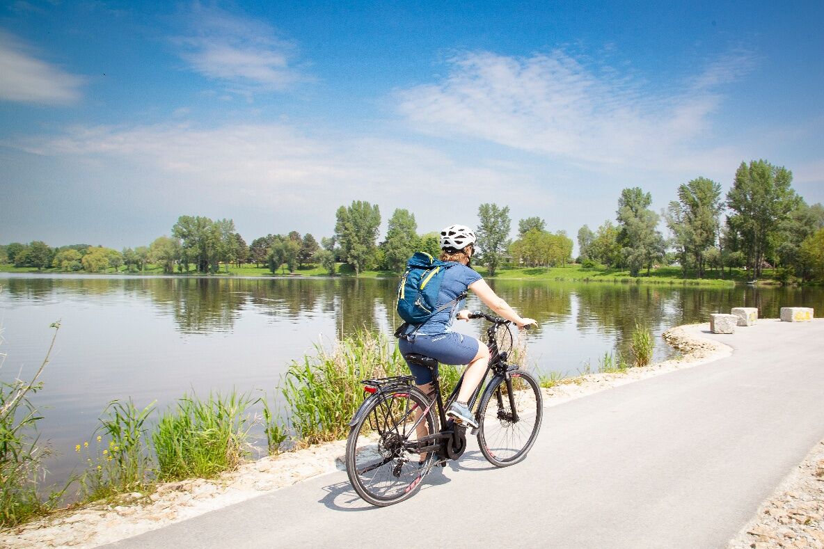
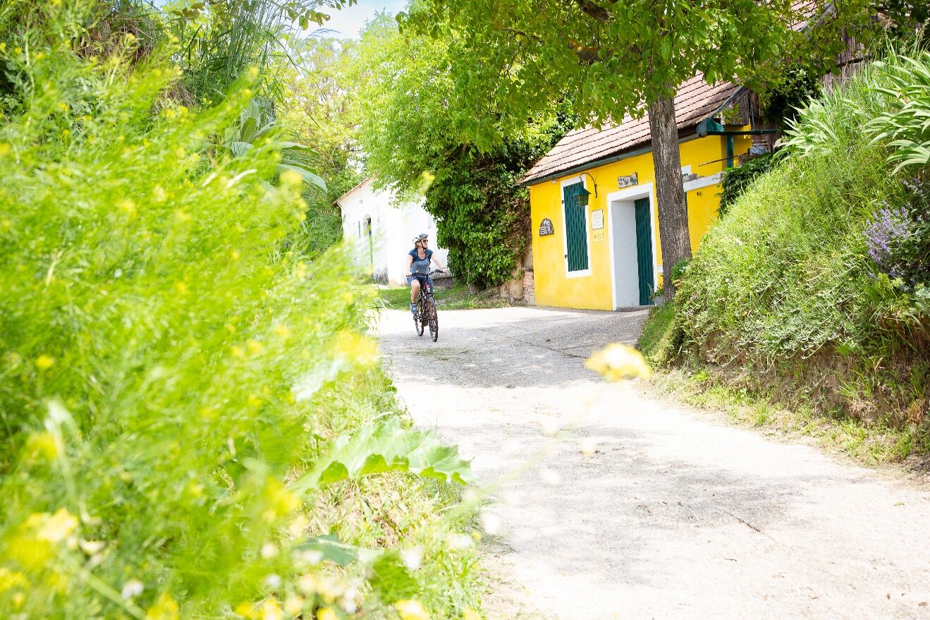

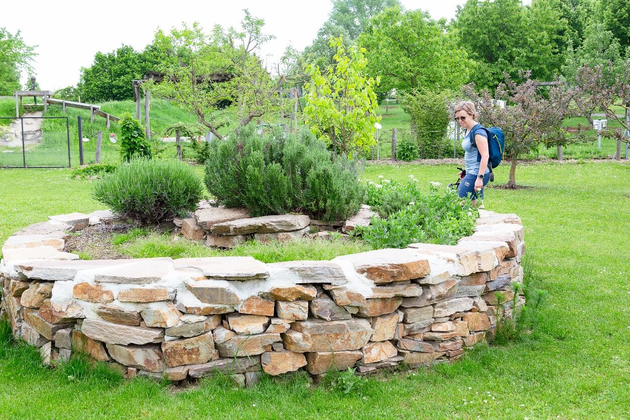
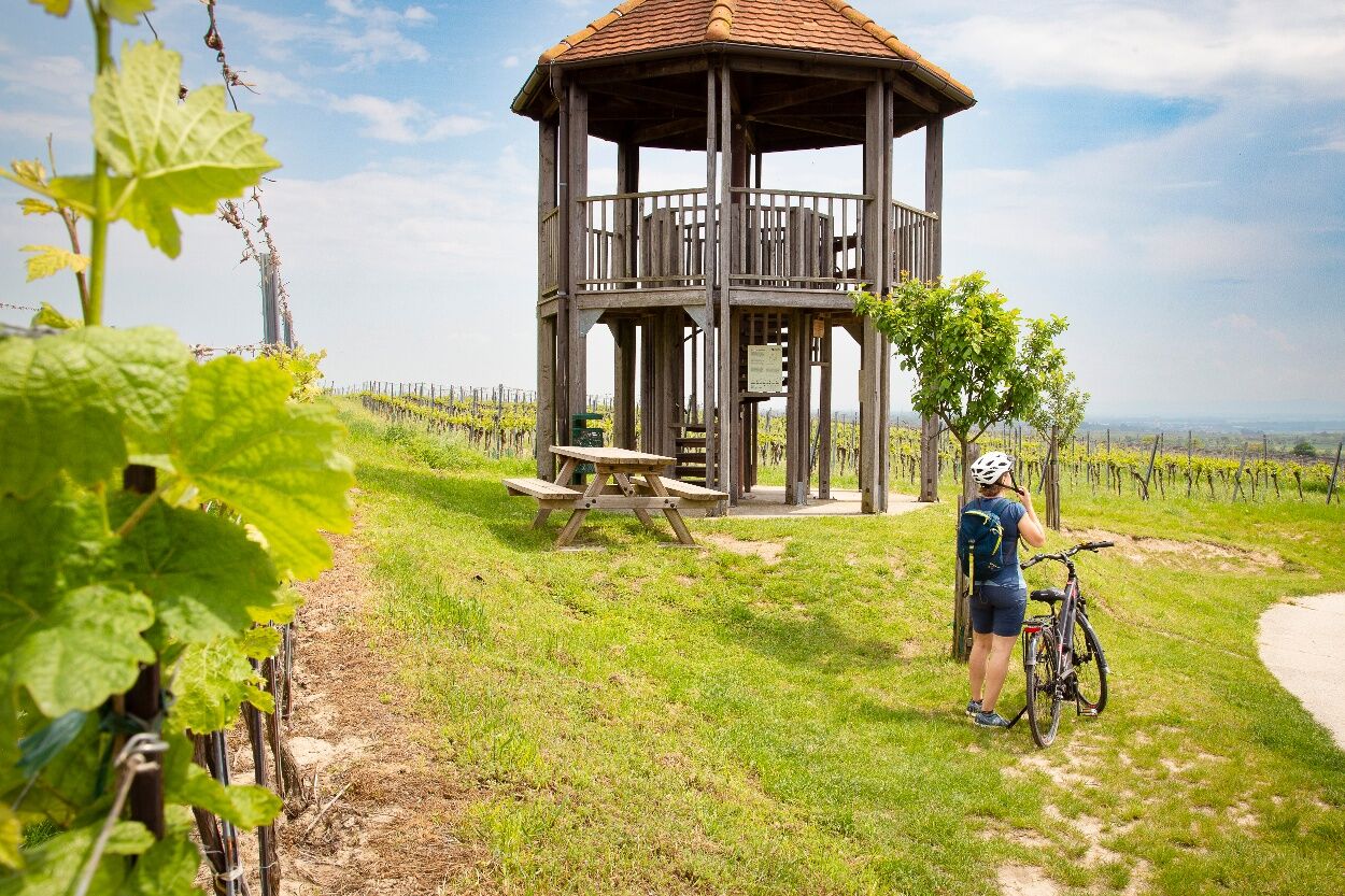
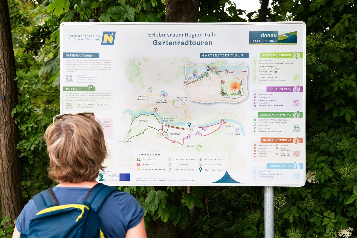

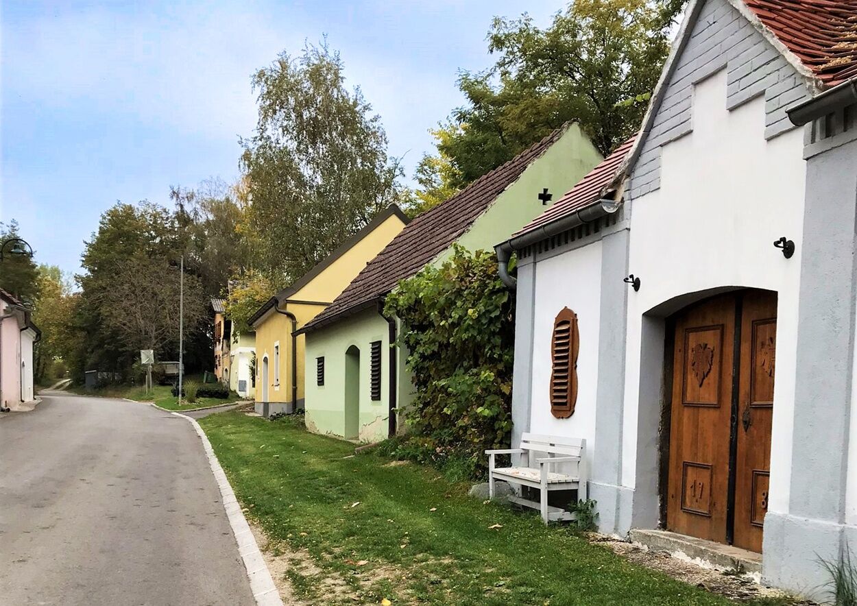
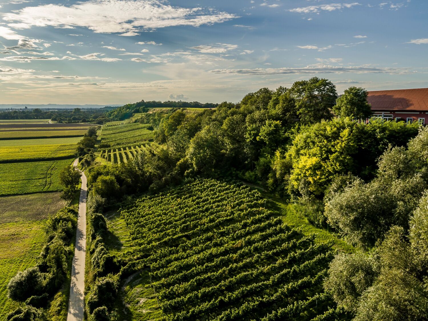
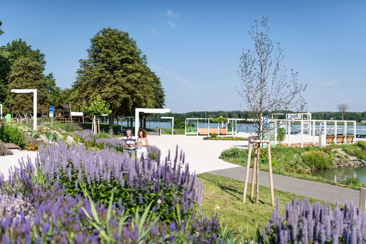

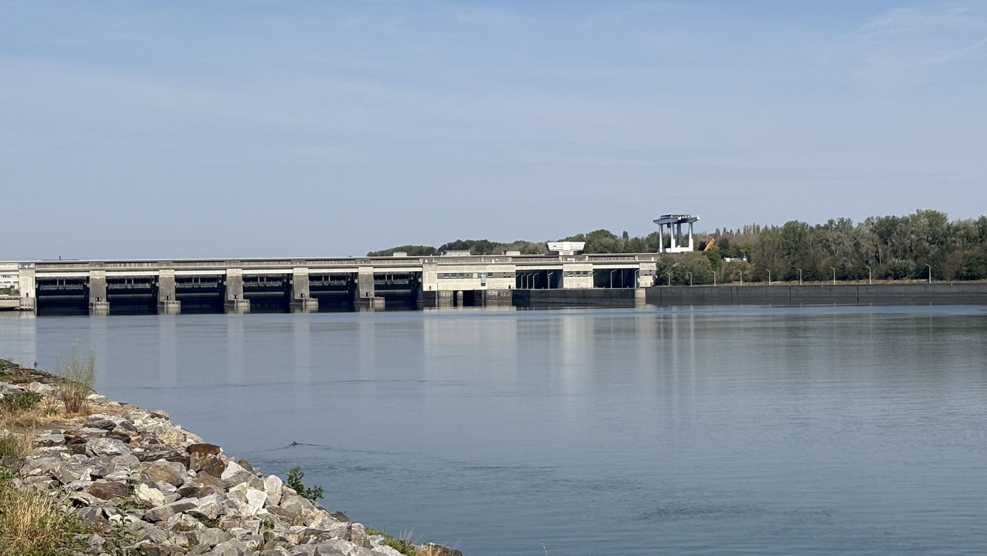
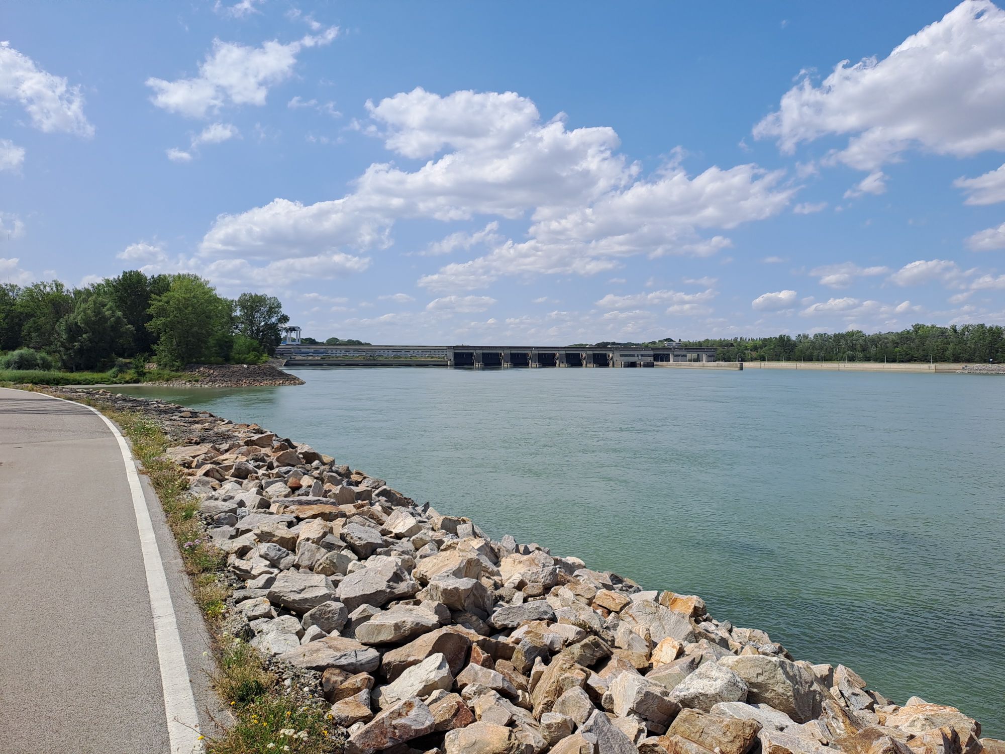
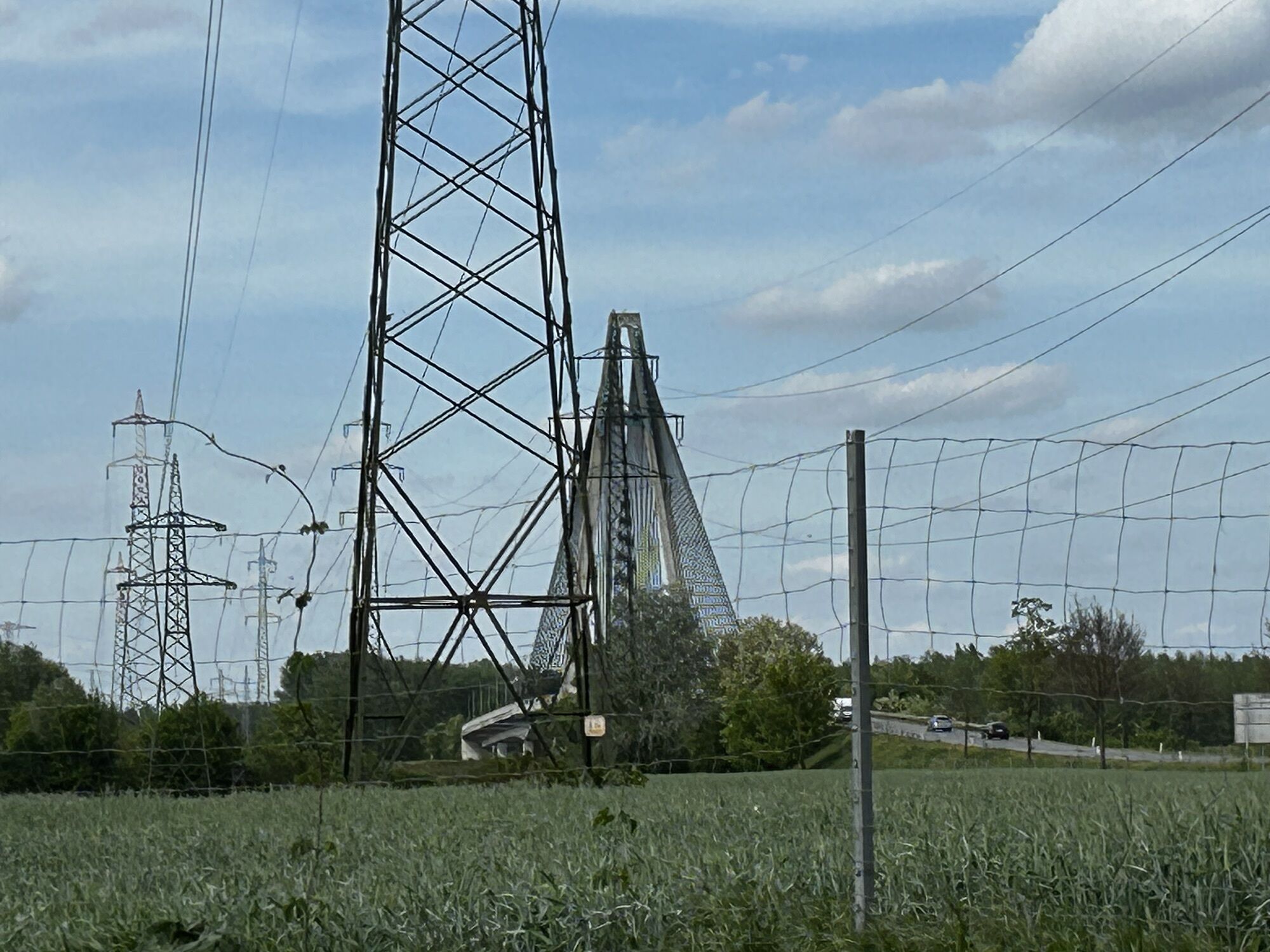
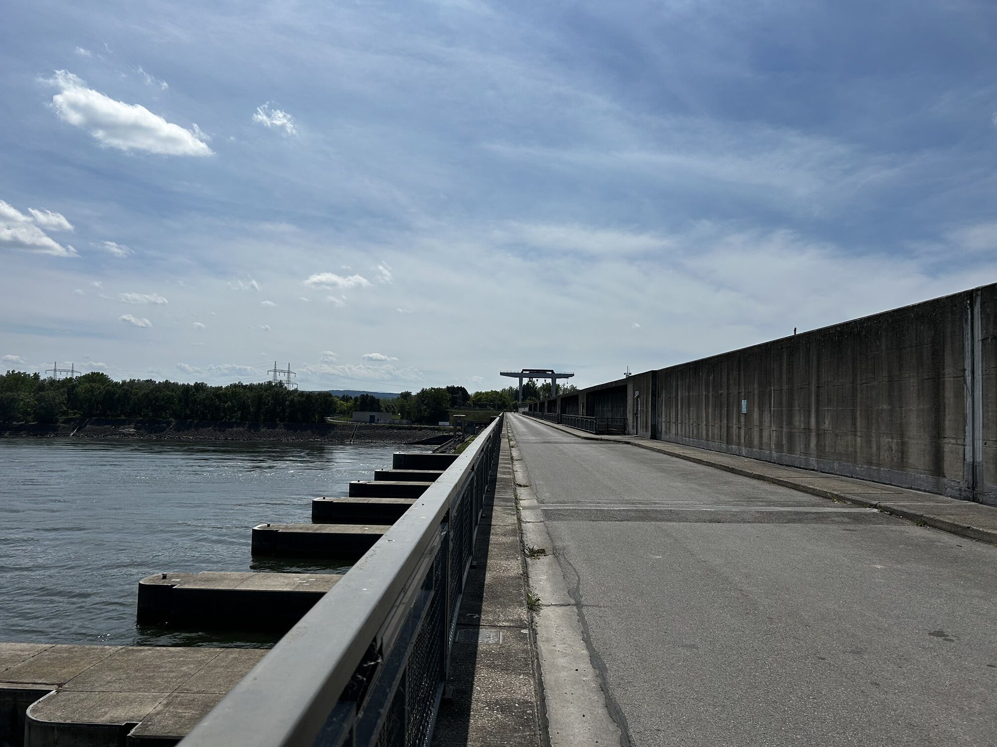
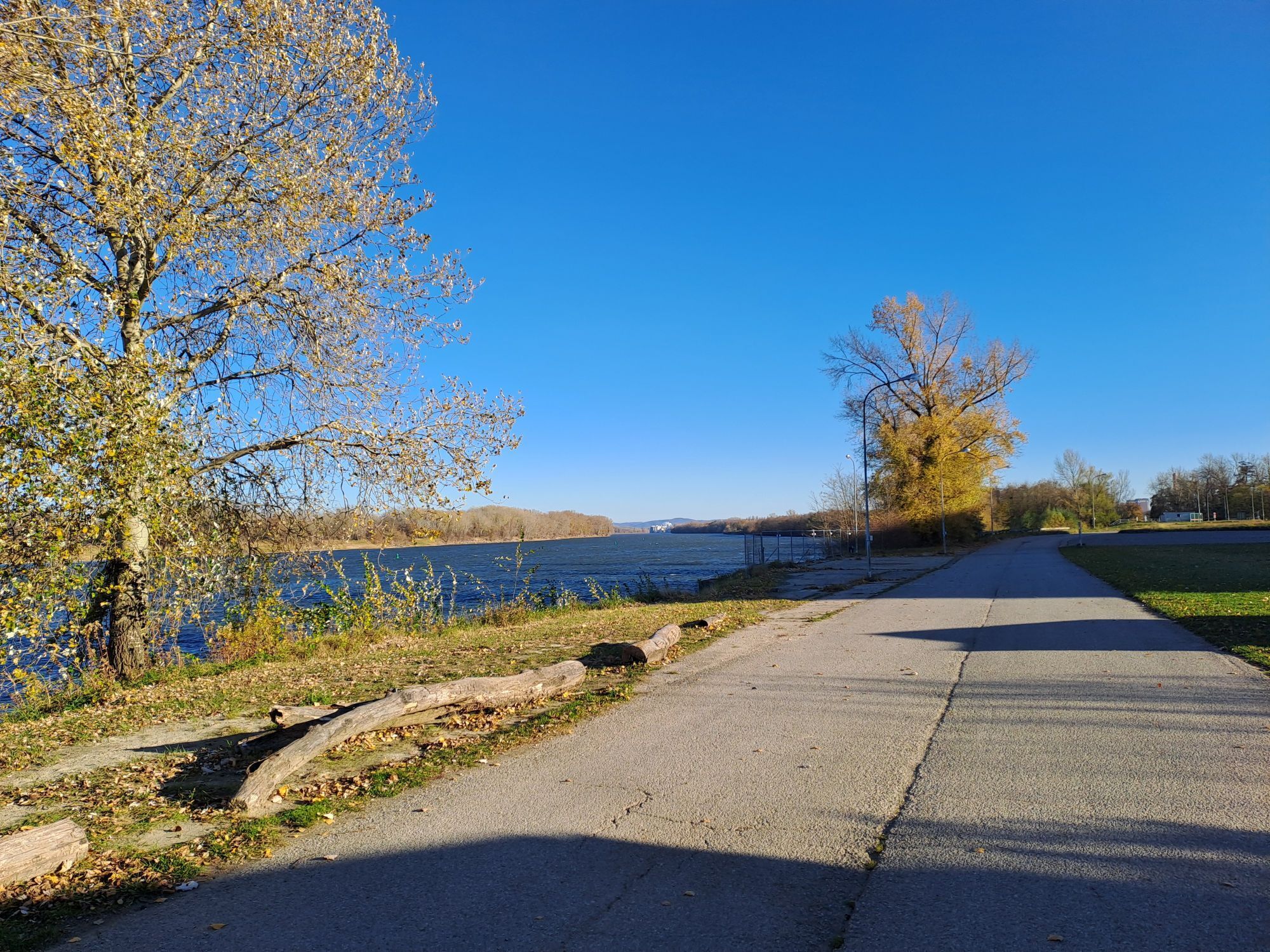
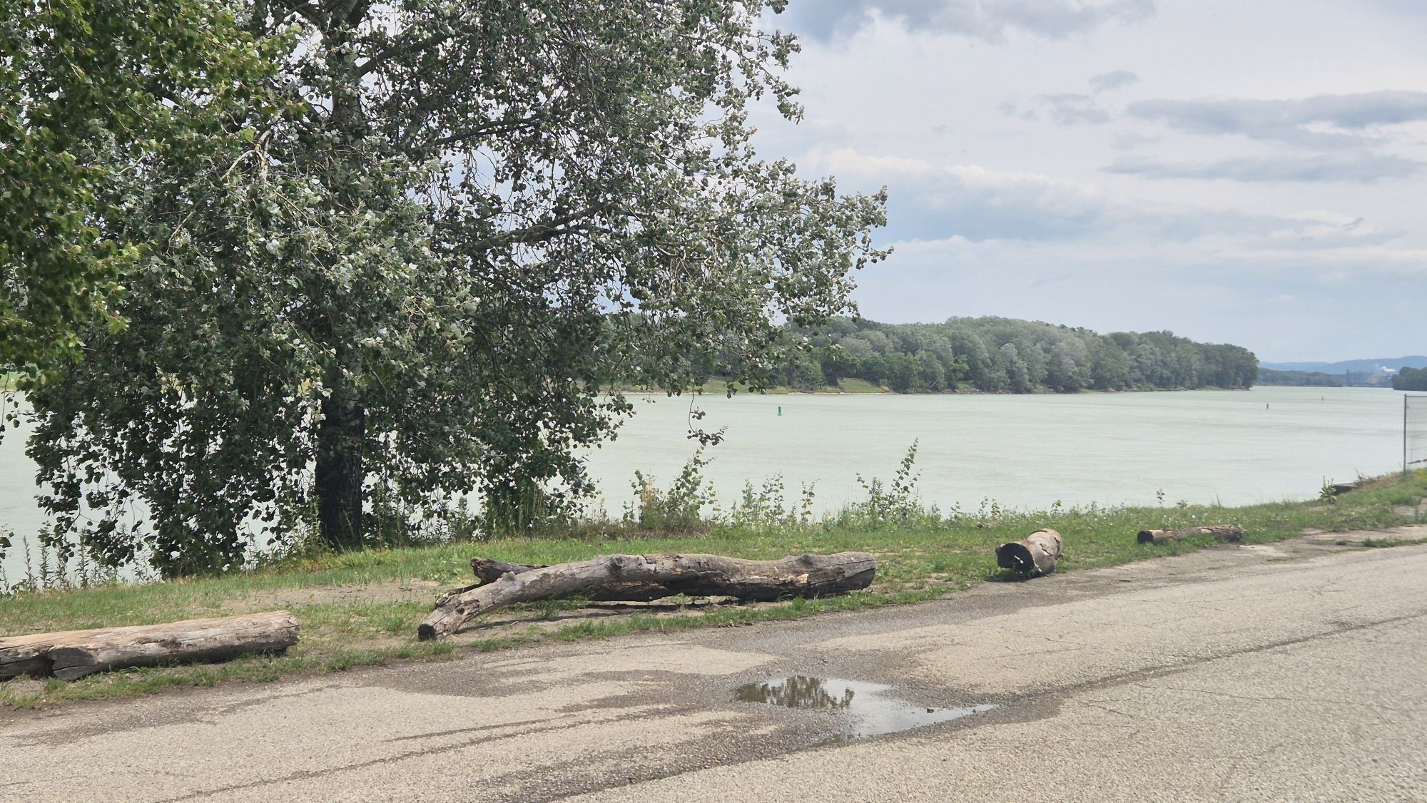
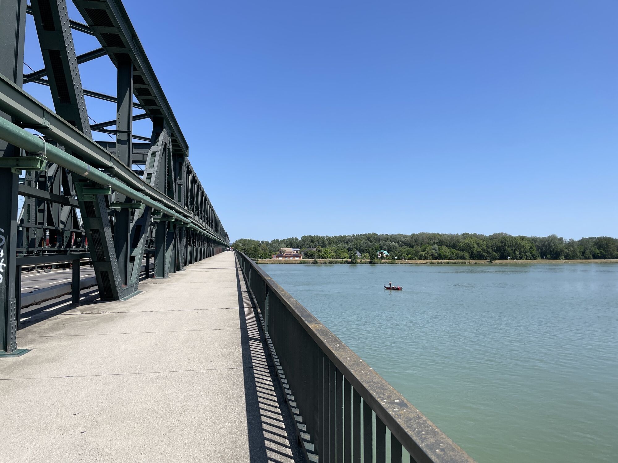
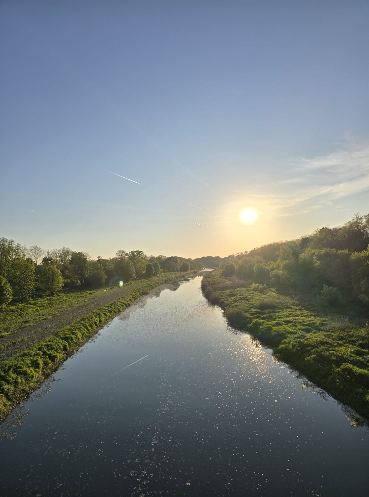
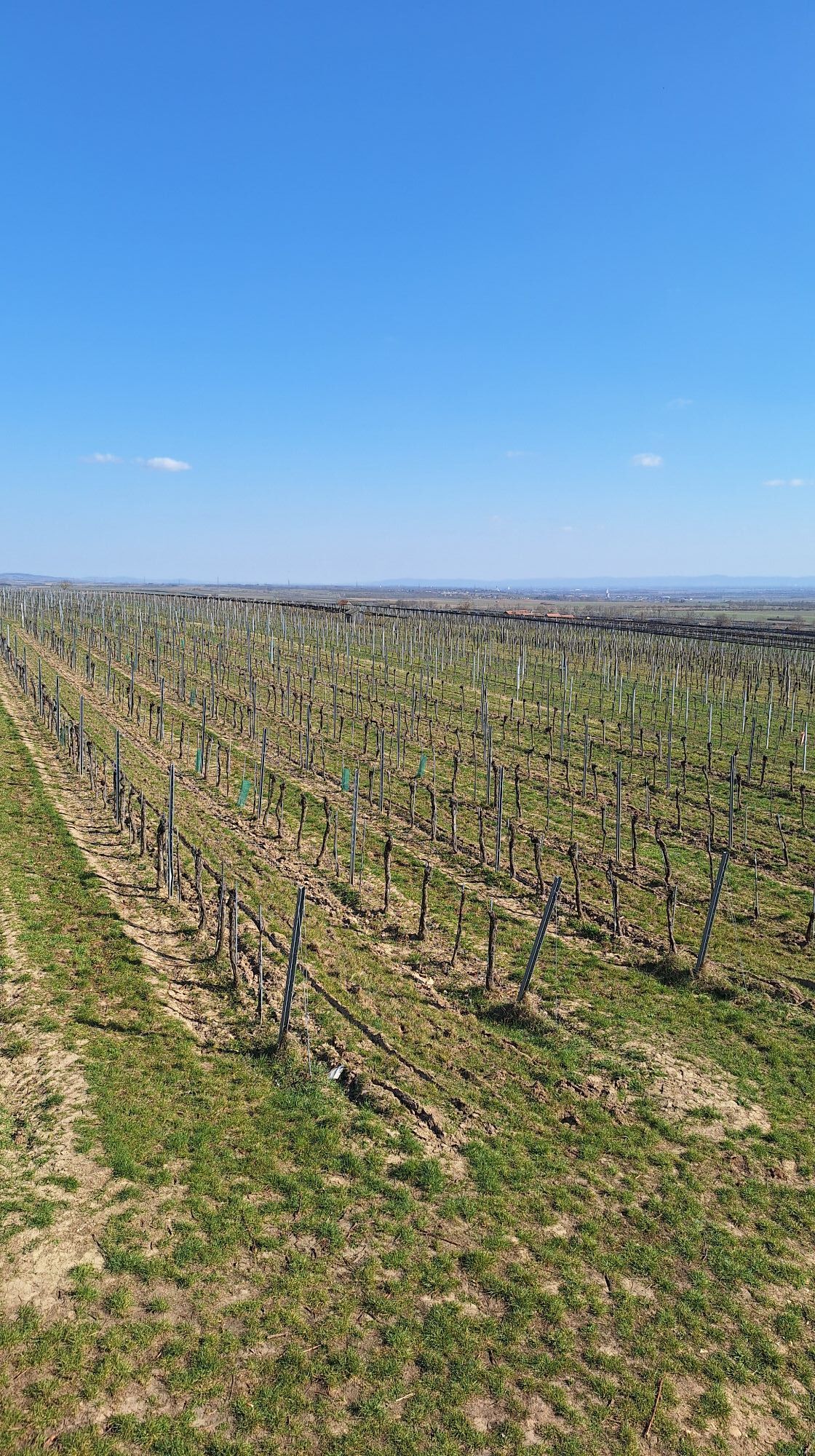
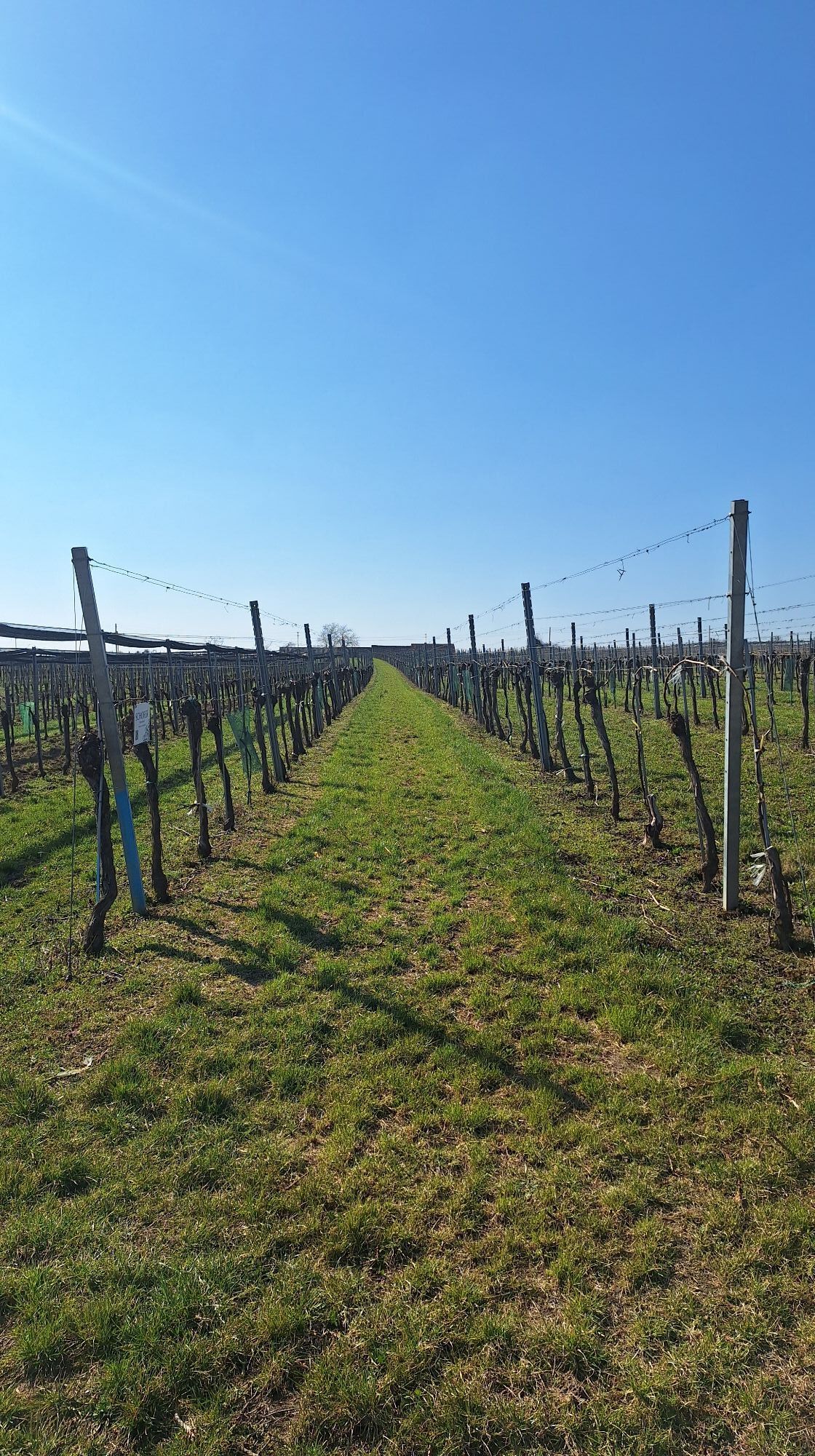
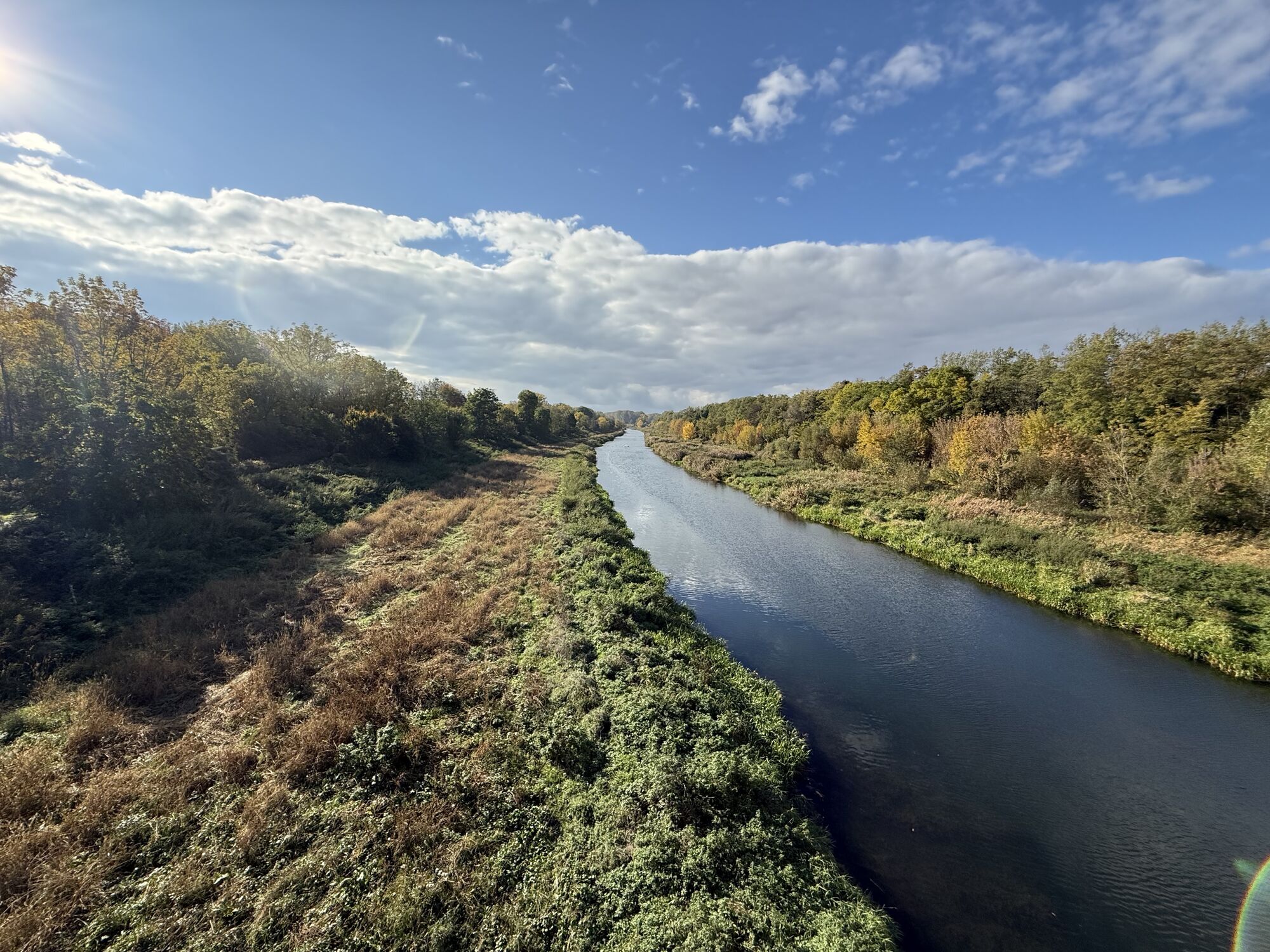
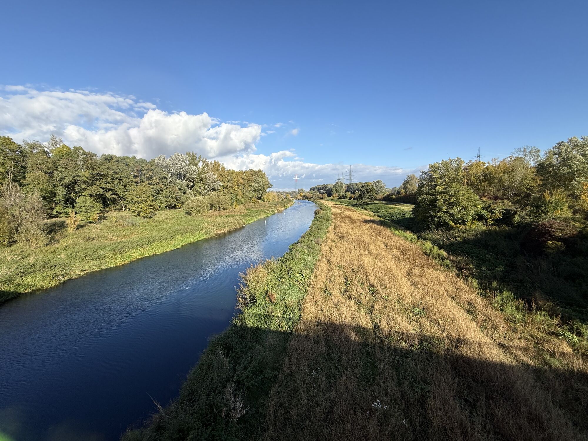
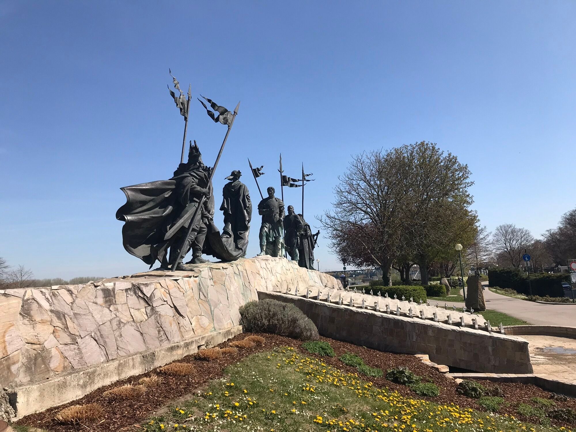
We start the route at the guest harbor on the Danube waterfront in Tulln opposite the ship landing stage and cycle along the Danube Cycle Path eastward. To get to the Tulln Danube Bridge towards Neuaigen, we leave the Danube Cycle Path after the Mark Aurel statue and turn into Mauthausstraße after the parking lot. At the "Direkt" gas station, we cross the Danube Bridge. At the end, keep straight until the long Brückenlahn. Then follow the bike path to Neuaigen. Over a lightly trafficked country road, it goes to Starnwörth and from there to Stetteldorf am Wagram and Absdorf (there is a train connection here). It continues on Kremser Straße (L2168) to Königsbrunn. A look into the parish garden is worthwhile here. In Kirchberg am Wagram, the Alchemists’ Park and the orchard offer cyclists particularly beautiful insights. Those ready for a break visit one of the numerous Heuriger taverns. Refreshed, we now cycle up the wine cellar alley in Fels to the lookout tower. The characteristic landscape of the Wagram wine-growing region is now in front of us, and we enjoy the view over the vineyards. Along the vineyards, the path leads back to the village of Fels am Wagram and further via Seebarn to Altenwörth (Kamptal Cycle Path). Here a beautiful recreation area opens up around the old arm of the Danube. The many willows along the shore offer a cool resting place and the lake invites you to swim. Over the Altenwörth power plant, we return to the Danube Cycle Path. The section back to Tulln is enriched with various garden and tree artworks. The garden experience culminates with DIE GARTEN TULLN with its ecological show gardens. After that, you return to the starting point of the route, the guest harbor at the Danube waterfront in Tulln.
Tip: Due to the length of the routes, they are especially suitable for e-bike riders.
Accessible from Vienna: Motorway A22 and S5, Accessible from the west: West Motorway A1, Accessible from the south: Outer Ring Motorway A21, Accessible from the north: S5, A22, E59
By train, bus, or rental bike to Tulln
www.oebb.at , www.postbus.at , www.nextbike.at
In the parking garages of downtown Tulln
The Fels am Wagram lookout tower offers a wonderful view over the vineyards.
Popularne wycieczki w okolicy
-
4,8
Wine and Water Round to the Kamptalwarte on Heiligenstein, no. 65
średniWędrówka 9,93 km -
4,6
Weinweg Langenlois - wohin ? in und um Wien
światłoWędrówka 5,68 km -
4,8
Übers "Loamstückl" zur Wetterkreuzkirche
światłoWędrówka 6,83 km -
4,5
Gaisberg-Rundwanderweg Straß im Straßertale
światłoWędrówka 8,18 km -
4,8
Kellergassen-Tour
ciężkiJazda na rowerze 38,3 km -
4,0
Weinwanderweg Wetzdorf
światłoTrasa tematyczna 6,51 km -
4,3
Über Sitzenberg-Reidling: Seelacke-Korkenzieher-Weinberge
średniWędrówka 11,1 km -
4,5
Wein - Schloss - Marille - Stiftblick
światłoWędrówka 5,26 km -
4,5
Zweigelt Tour
średniMountainbike 34,5 km -
3,8
W3 Löss-Tour
średniJazda na rowerze 38,6 km

Wędrówki i tropienie


Nie przegap ofert i inspiracji na następne wakacje
Twój adres e-mail została dodana do listy mailingowej.





