Donau-Schatz route short
średni
Jazda na rowerze 5,0
Nawigacja
Nawigacja
Pobierz tę trasę na swój telefon komórkowy
Mapa
Donau-Schatz route short
średni
Jazda na rowerze
37,65 km
Zeskanuj kod QR i rozpocznij nawigację w aplikacji bergfex.
QR Code
Wędrówki i tropienie
Pobierz dla iOS
Pobierz dla systemu Android

Donau-Schatz route short

średni
Jazda na rowerze 5,0
Odległość
37,65 km
Czas trwania
02:38 h
Ascent
20 hm
Poziom morza
213 - 239 m
Ścieżka do pobrania
Mapa
Donau-Schatz route short
średni
Jazda na rowerze
37,65 km

Keep your eyes open and discover the secrets and culinary delights of the region! The small differences in altitude make the tour ideal for adventurous people of all ages, especially families.


Trasa
Pöchlarn
(215 m)
Miasto
8,2 km
Krummnußbaum
(219 m)
Wioska
12,6 km
Kath. Pfarrkirche hl. Laurentius
(224 m)
Miejsce kultu
24,6 km
Balancierstrecke Bergheim
(219 m)
Plac zabaw
25,2 km
Kipp-Gleiter
(219 m)
Plac zabaw
25,3 km
Floriani-Kapelle
(222 m)
Miejsce kultu
27,7 km
Loja
(252 m)
Rozliczenie
34,6 km
Trasa
Mapa
Donau-Schatz route short
średni
Jazda na rowerze
37,65 km
Marbach an der Donau
(216 m)
Wioska
0,3 km
Johny's Jungle
(216 m)
Restauracja
1,4 km
Gasthof Haselberger
(216 m)
Restauracja
1,5 km
Krummnußbaum an der Donauuferbahn
(221 m)
Wioska
1,5 km
Klein-Pöchlarn
(214 m)
Wioska
5,1 km
Pizzeria LaLuna
(217 m)
Restauracja
5,1 km
Pöchlarn
(215 m)
Miasto
8,2 km
Am Rechen
(214 m)
Wioska
9,9 km
Hafenwirt
(217 m)
Restauracja
10,0 km
Krummnußbaum
(219 m)
Wioska
12,6 km
Marbach an der Donau
(216 m)
Wioska
13,4 km
Annastift
(256 m)
Wioska
13,8 km
Granz
(218 m)
Wioska
14,7 km
Wallenbach
(222 m)
Wioska
14,9 km
Mostheuriger Stöckl
(221 m)
Restauracja
16,5 km
Diedersdorf
(222 m)
Wioska
16,5 km
Metzling
(218 m)
Wioska
17,2 km
Säusenstein
(244 m)
Wioska
18,0 km
Sarling
(240 m)
Wioska
20,4 km
Babenbergerhof
(220 m)
Restauracja
24,4 km
Ybbs an der Donau
(220 m)
Miasto
24,4 km
Kath. Pfarrkirche hl. Laurentius
(224 m)
Miejsce kultu
24,6 km
Ybbser Donau Panoramablick
(218 m)
Punkt widzenia
24,6 km
Balancierstrecke Bergheim
(219 m)
Plac zabaw
25,2 km
Pedalostrecke
(219 m)
Plac zabaw
25,2 km
Trampolin
(219 m)
Plac zabaw
25,2 km
Schwebende Platform
(219 m)
Plac zabaw
25,2 km
Oberkörper-Ergometer
(219 m)
Plac zabaw
25,2 km
Gehschule
(219 m)
Plac zabaw
25,2 km
Springfeld
(220 m)
Plac zabaw
25,3 km
Kipp-Gleiter
(219 m)
Plac zabaw
25,3 km
Beinheber / Situps
(220 m)
Plac zabaw
25,3 km
Rückenstrecken Universal
(220 m)
Plac zabaw
25,3 km
Liegestützen
(219 m)
Plac zabaw
25,3 km
Armzug
(220 m)
Plac zabaw
25,3 km
Reifenlaufen
(220 m)
Plac zabaw
25,3 km
Calisthenics
(220 m)
Plac zabaw
25,3 km
Bistro Mogador
(236 m)
Restauracja
26,4 km
Floriani-Kapelle
(222 m)
Miejsce kultu
27,7 km
Gasthof Böhm
(226 m)
Restauracja
28,0 km
Persenbeug
(225 m)
Wioska
28,3 km
Hagsdorf
(222 m)
Wioska
30,0 km
Gottsdorf
(222 m)
Wioska
33,2 km
Metzling
(218 m)
Wioska
34,0 km
Fischwirtshaus Landmotel Die Donaurast
(218 m)
Restauracja
34,2 km
Loja
(252 m)
Rozliczenie
34,6 km
Diedersdorf
(222 m)
Wioska
34,8 km
Pizzeria Rialto
(217 m)
Restauracja
36,7 km
Granz
(218 m)
Wioska
36,7 km
Zur alten Fähre
(215 m)
Restauracja
37,0 km
Marbach an der Donau
(216 m)
Wioska
37,4 km
Informacje o wycieczce

Follow the glistening Danube as you cycle, while the river tells you stories of the Nibelungengau.

Technologia
n.d.
Stan
3 / 6
Krajobraz
4 / 6
Doświadczenie
4 / 6
Najlepsza pora roku
Sty
Lut
Mar
Kwi
Maj
Cze
Lip
Sie
Wrz
Paź
Lis
Gru
Udostępnij trasę
Mapa
Donau-Schatz route short
średni
Jazda na rowerze
37,65 km
Błąd
Wystąpił błąd. Spróbuj ponownie.
Ostatnio śledzony dzisiaj
Informacje o trasie
Trasa

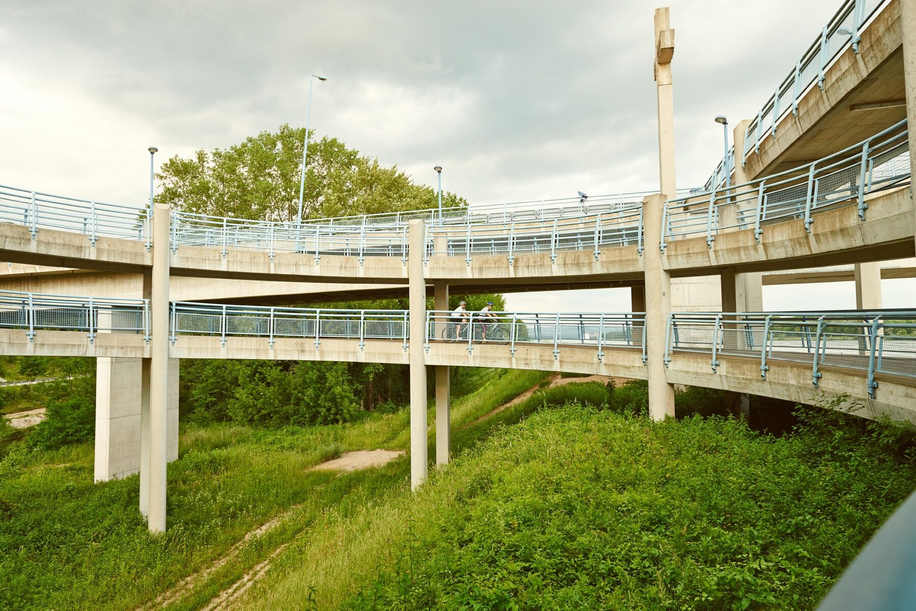
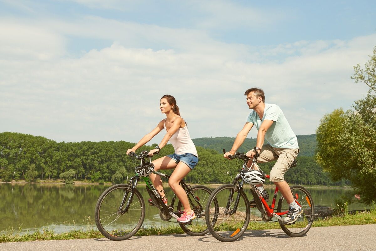
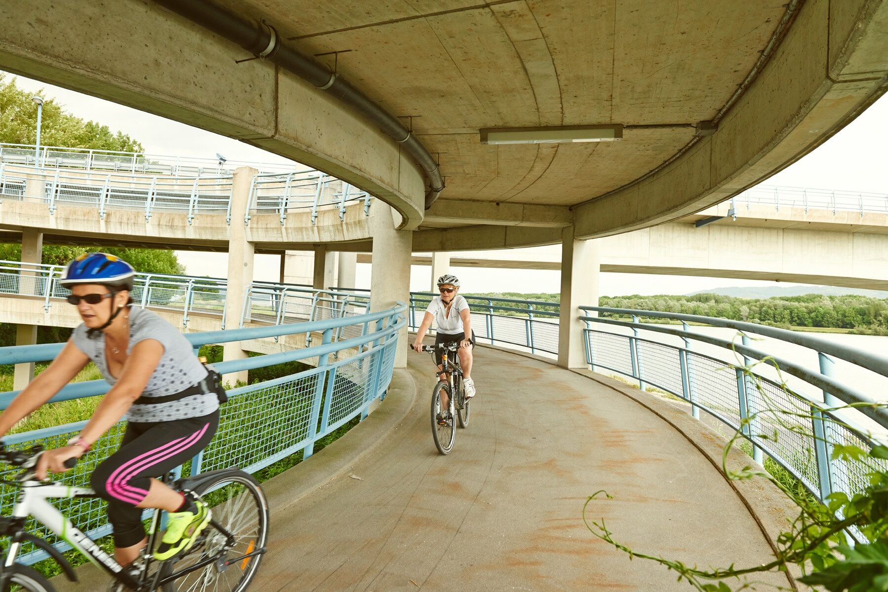
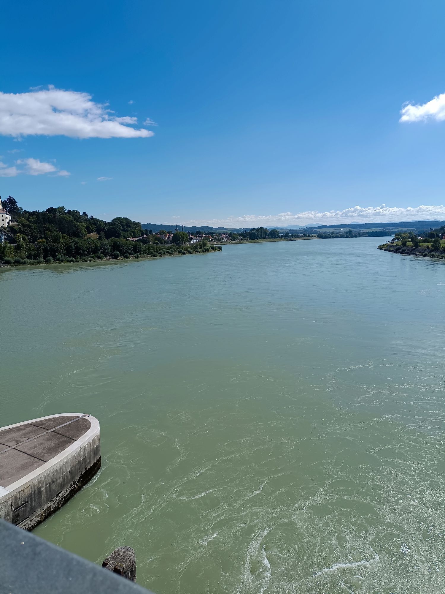
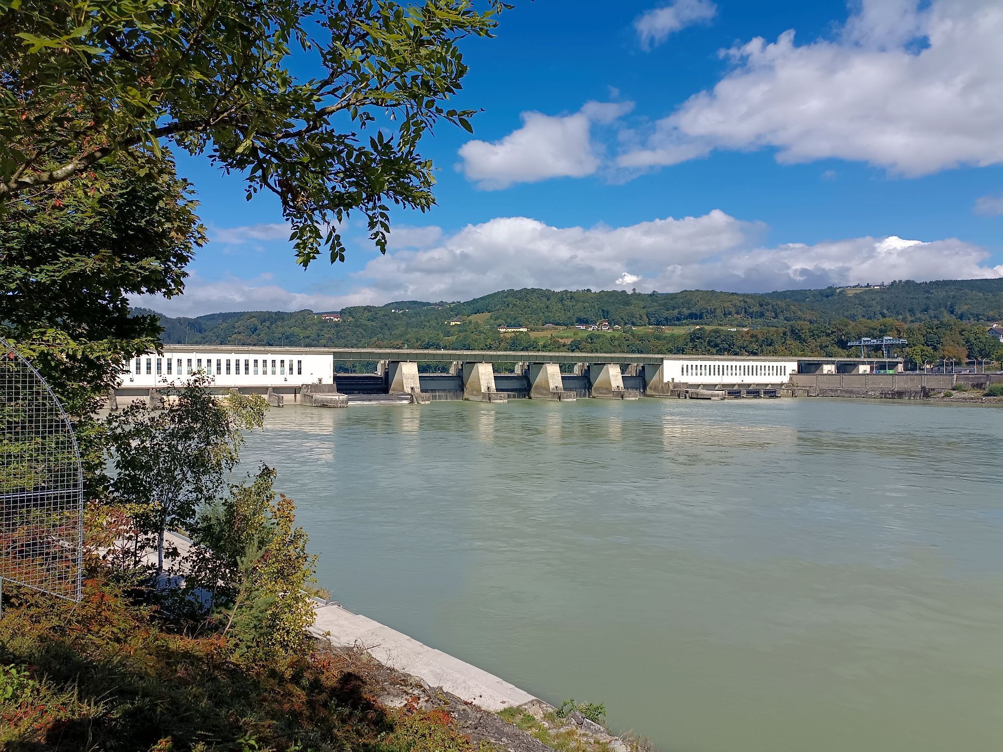
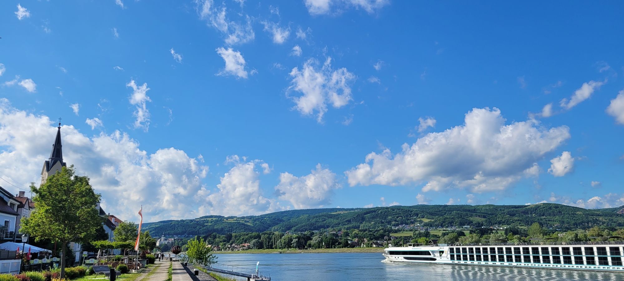
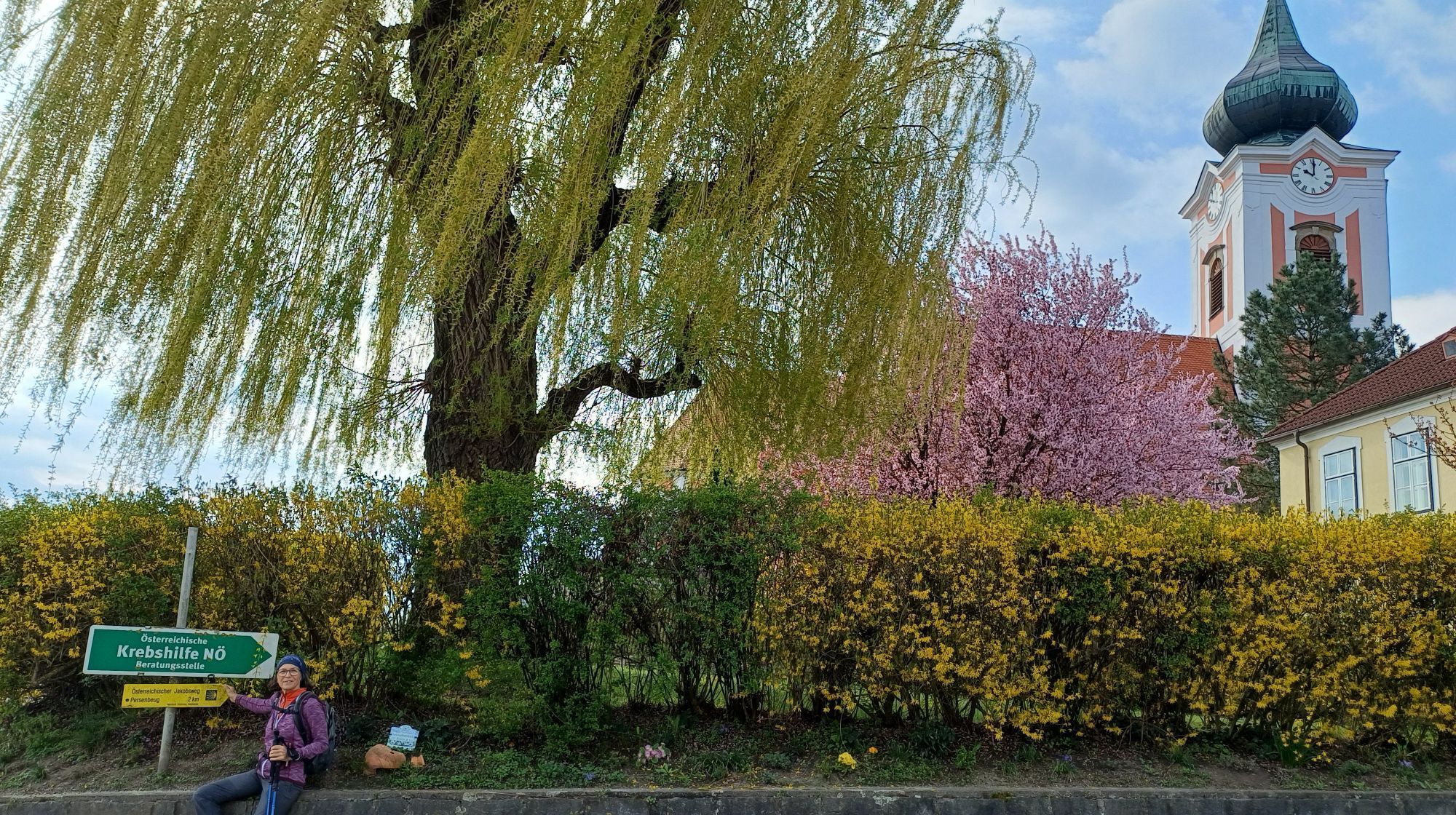
This route leads comfortably along the Danube with about 40 km starting in Ybbs. Over the bridge of the Ybbs-Persenbeug visitor power plant, it goes to Persenbeug, past the Bikearena village renewal Persenbeug-Gottsdorf. In Marbach and Klein-Pöchlarn, the restaurants of the Nibelung region invite you to stop by.

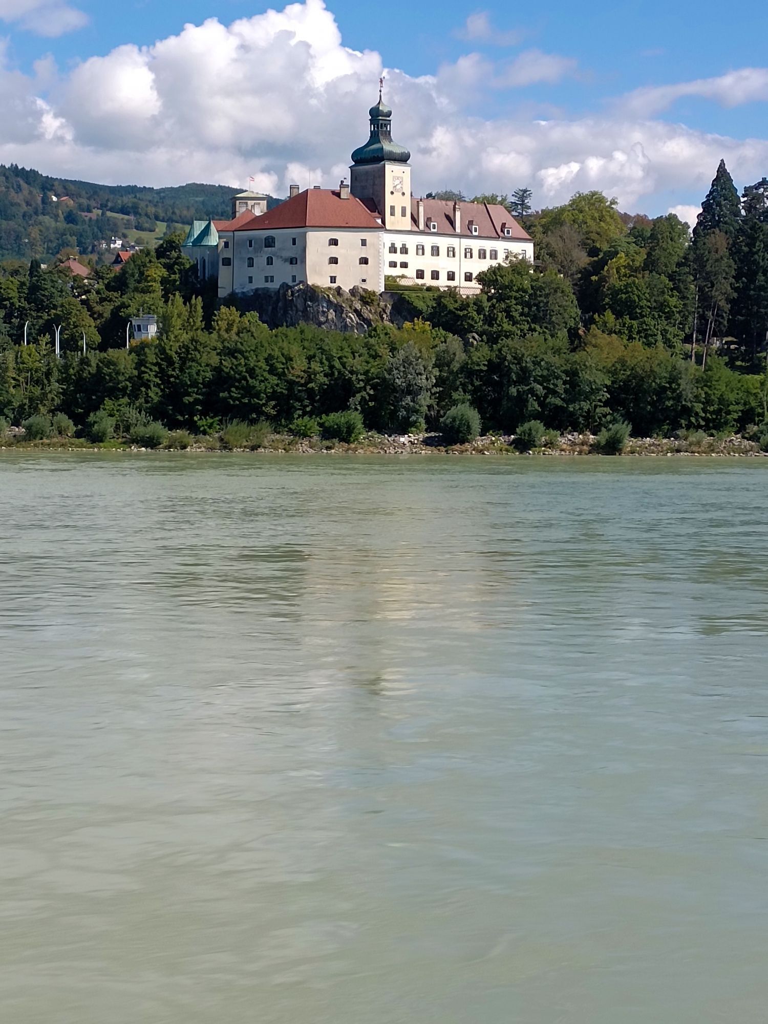
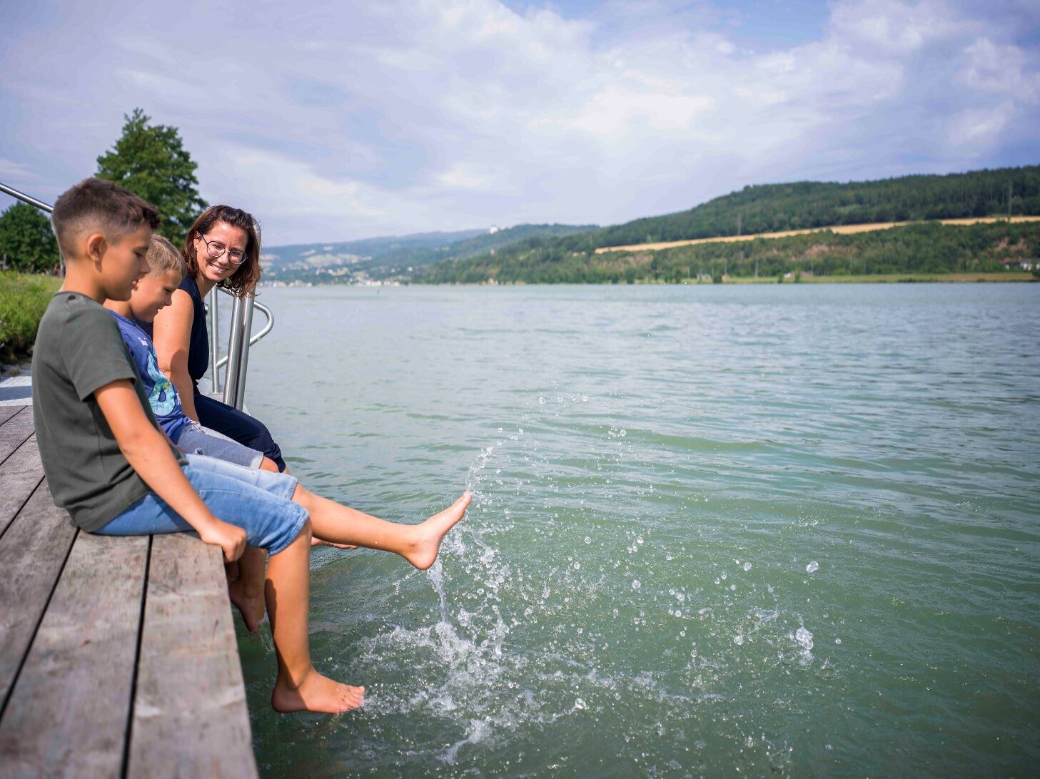
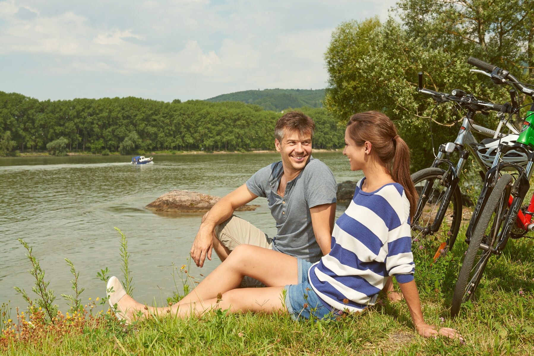
In the Nibelung city Pöchlarn, the Kokoschka Museum offers insights into the work of the great painter Oskar Kokoschka. The Donau.Auszeit.Meadow directly on the Danube invites you to linger or refresh your feet in the Danube.

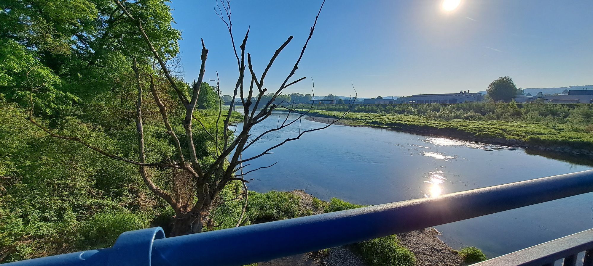
The route continues to the small town Krummnußbaum. A detour to the nusseum is possible there. The nutcracker collection and delicacies around the nut show another special feature of the region.

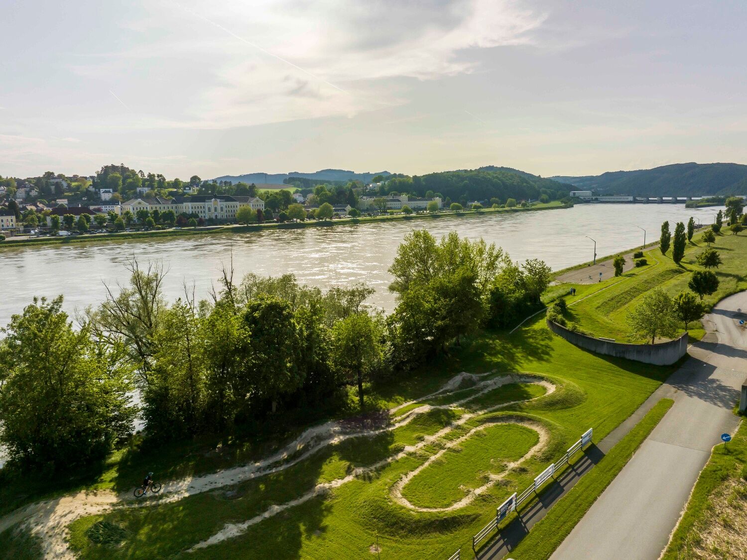
The route leads back to Ybbs along the Danube cycle path. There, more opportunities to stop and enjoy regional treats await cyclists as a reward.

Informacje o przyjeździe
Przybycie

Ybbs is easily accessible via the A1 West motorway, Ybbs exit. At the roundabout, take the first exit and then continue straight towards the center.

Coming from Krems or Grein via Wachauerstraße (B3), then over the Ybbs-Persenbeug Danube bridge, it is about 1.5 km to the center.

Transport publiczny

Travel with ÖBB to the Ybbs/Kemmelbach train station, www.oebb.at. From the station, you can take the bus to the center of Ybbs on the Danube. Further information about bus schedules can be found at www.vor.at 

Parking

There are sufficient parking spaces available at the Danube bank in Ybbs.

Dodatkowe informacje i wskazówki
Dodatkowe informacje

Tip: The Bee Park in Klein-Pöchlarn offers interesting facts about bees and provides variety with a live beehive during a break. The Bee Bar next door offers cool drinks and traditional food. Play and fun are guaranteed at the adventure playground.

Wskazówki

For those with more endurance and stamina, we recommend the Donau-Schatz route medium or the Donau-Schatz route long.

Wyceny
5,0
5
(1)
4
(0)
3
(0)
2
(0)
1
(0)
1 Komentarz
Awatar z Alois Pflügl
Alois Pflügl
08. mar. 2026
Schöne Runde entlang der Donau
Pomocny (0) |
Raport
Błąd
Wystąpił błąd. Spróbuj ponownie.
Napisz recenzję

Recenzje pomagają innym użytkownikom wybrać kolejną przygodę. Oceniaj tylko trasę, a nie pogodę lub przekąskę.

Wybierz jedną z gwiazdek, aby ocenić wycieczkę
Zła trasa
Słaba trasa
Przeciętna wycieczka
Dobra wycieczka
Doskonała wycieczka

Kamery internetowe z trasy

bergfex logoUzyskaj wgląd Zawsze na żywo z ponad 9 500 kamer internetowych. bergfex Jako użytkownik Pro, możesz teraz zobaczyć odpowiednie kamery internetowe dla wielu wycieczek w aplikacji wycieczki od. Pozwala to na bezpośredni podgląd aktualnych warunków.
Wędrówki i tropienie

Wędrówki i tropienie

Pobierz dla iOSPobierz dla systemu Android
Wędrówki i tropienie
Ponad 550.000 propozycji wycieczek, szczegółowe mapy i intuicyjny planer tras sprawiają, że aplikacja jest niezbędna dla wszystkich entuzjastów przyrody.
Wędrówki i tropienie
bergfex bergfex