






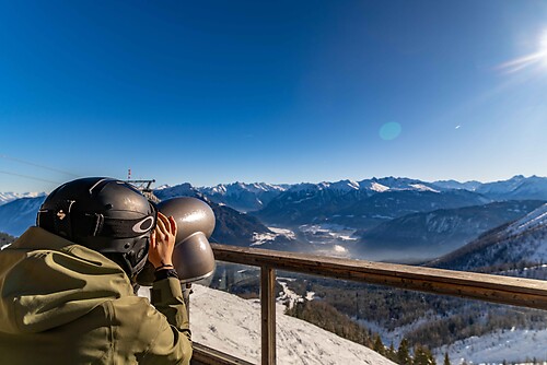
Vienna Alps bike round

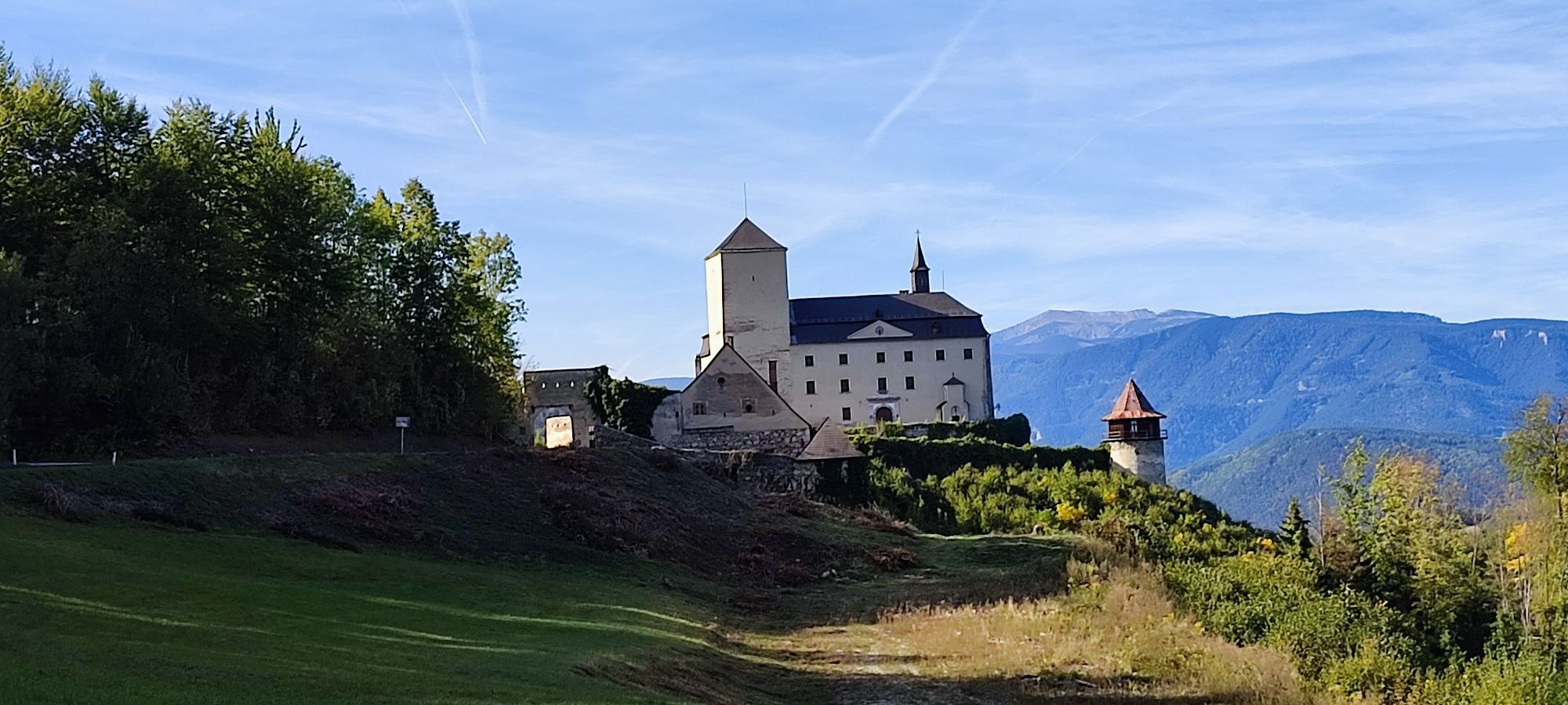
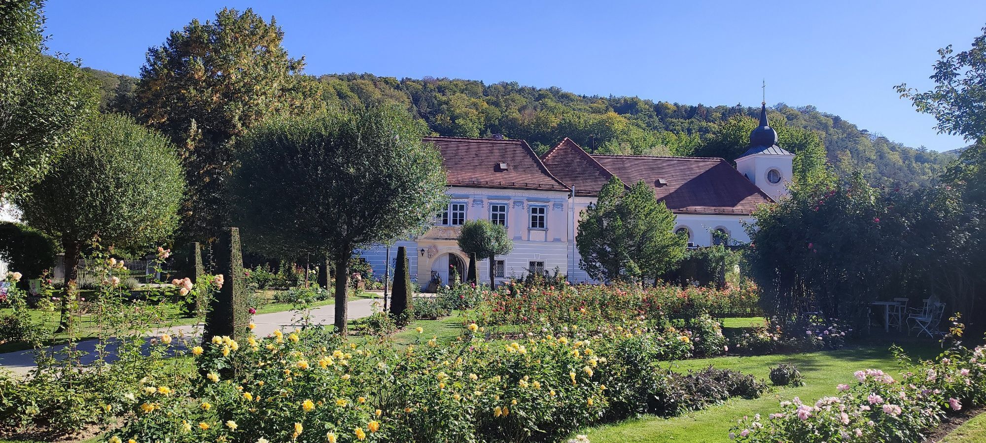
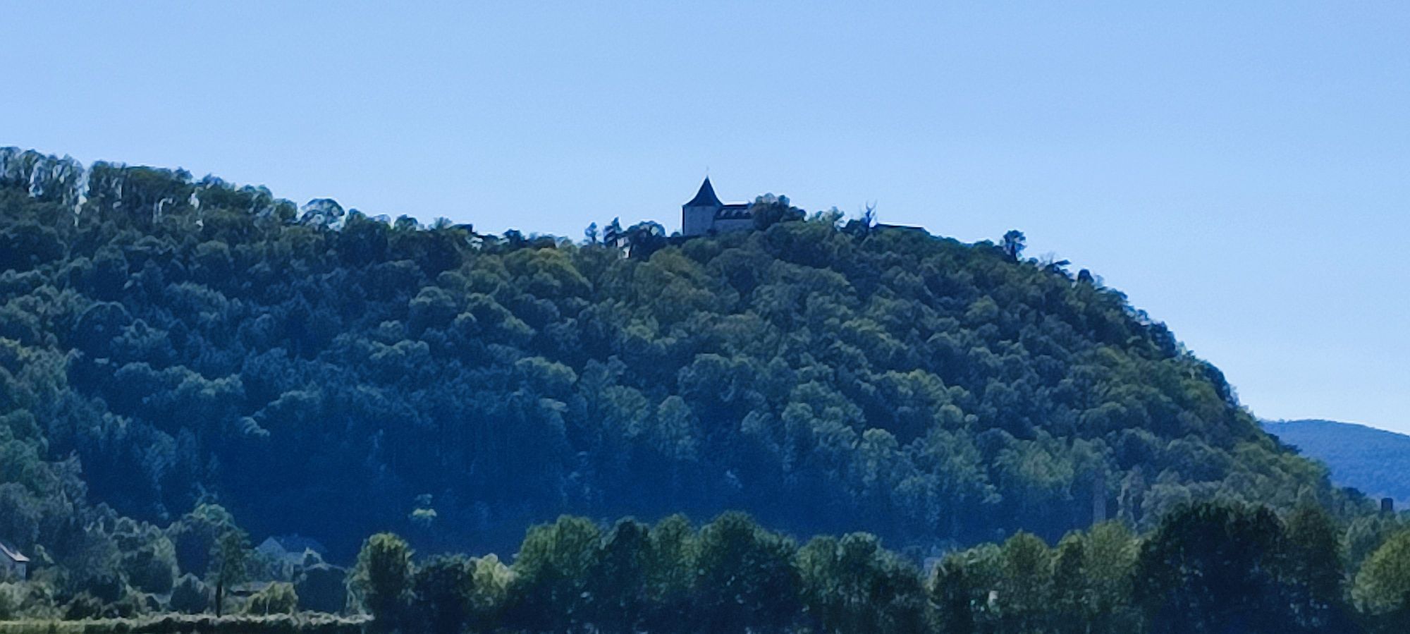

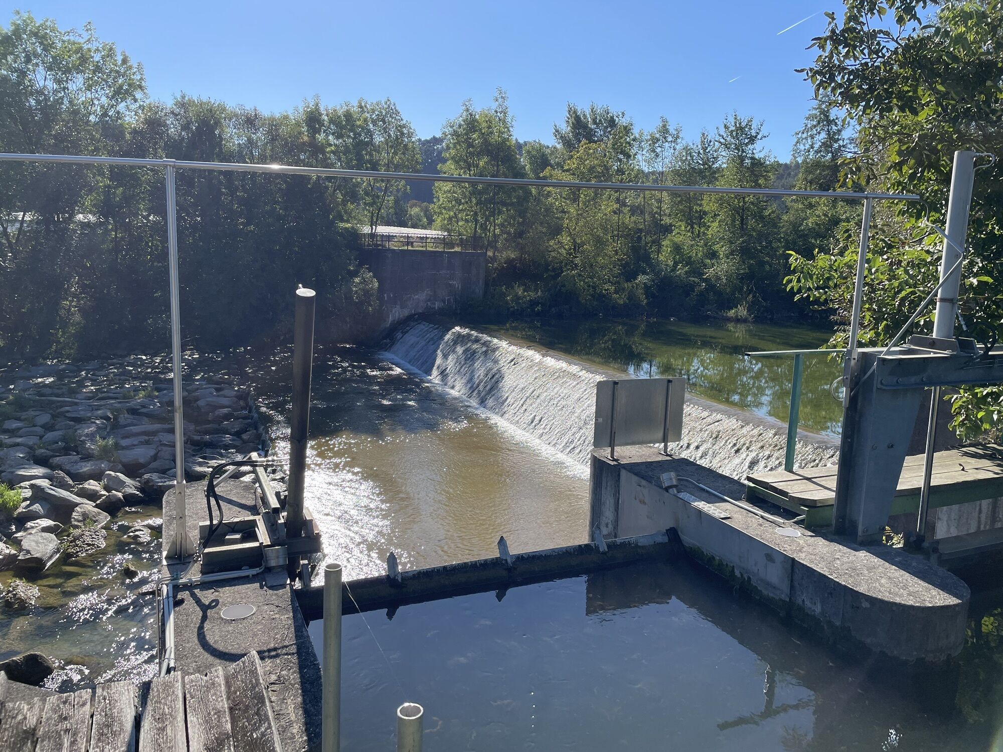
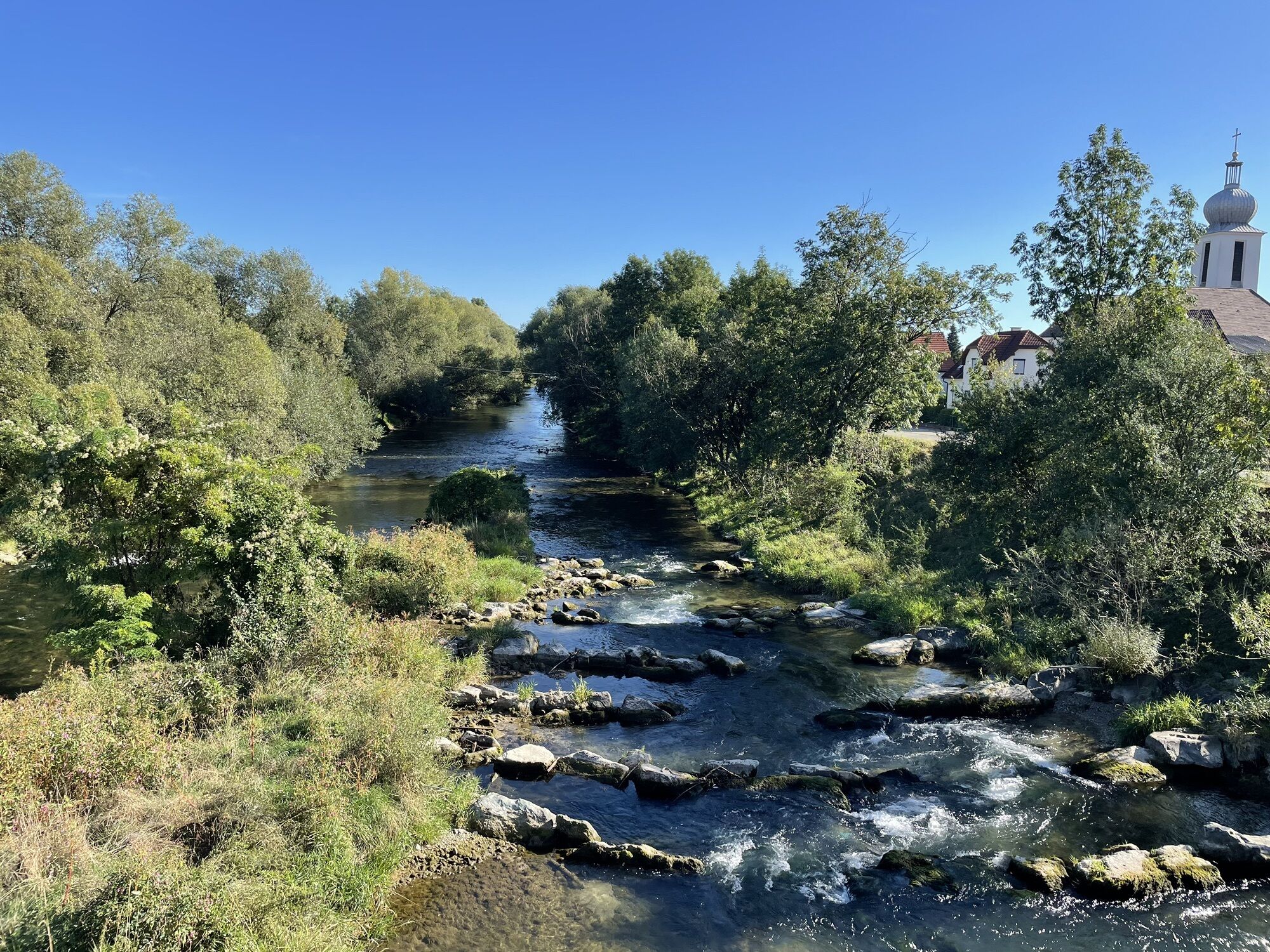
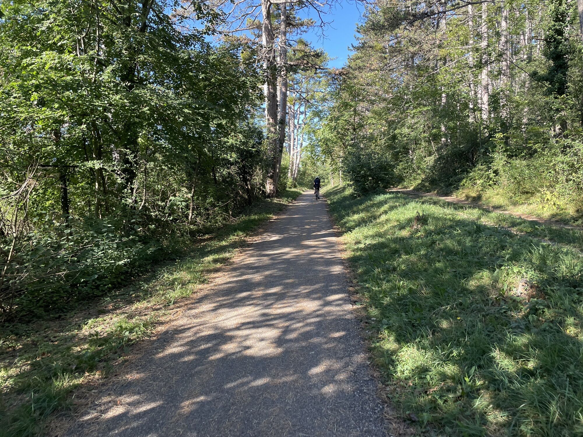
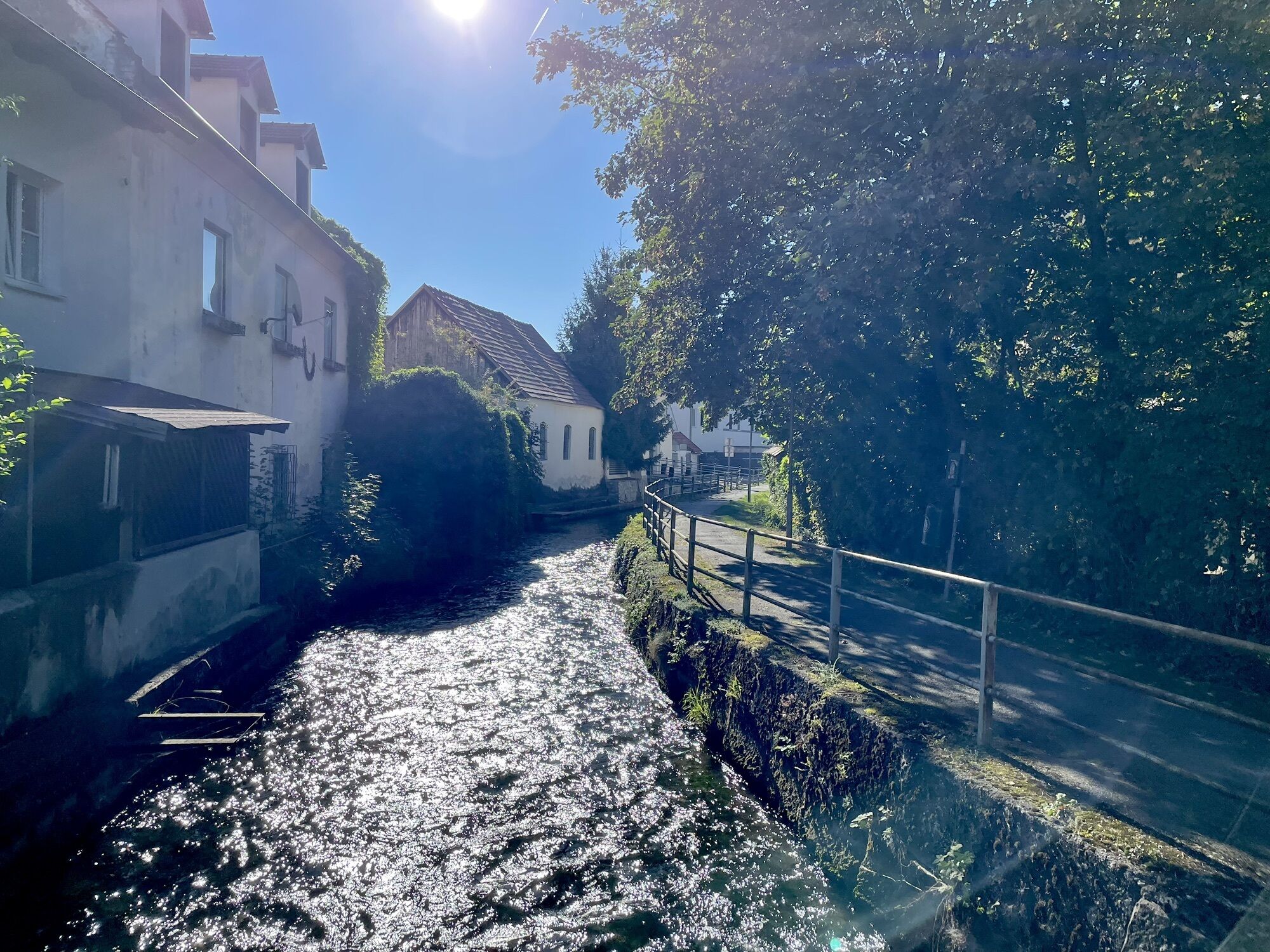
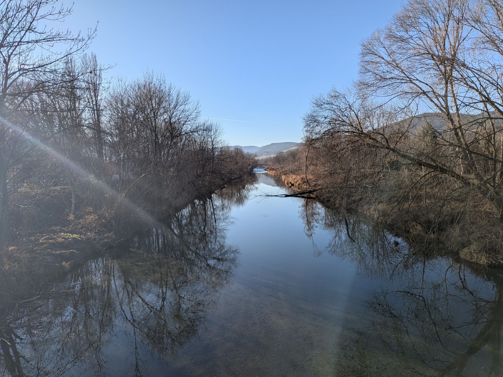
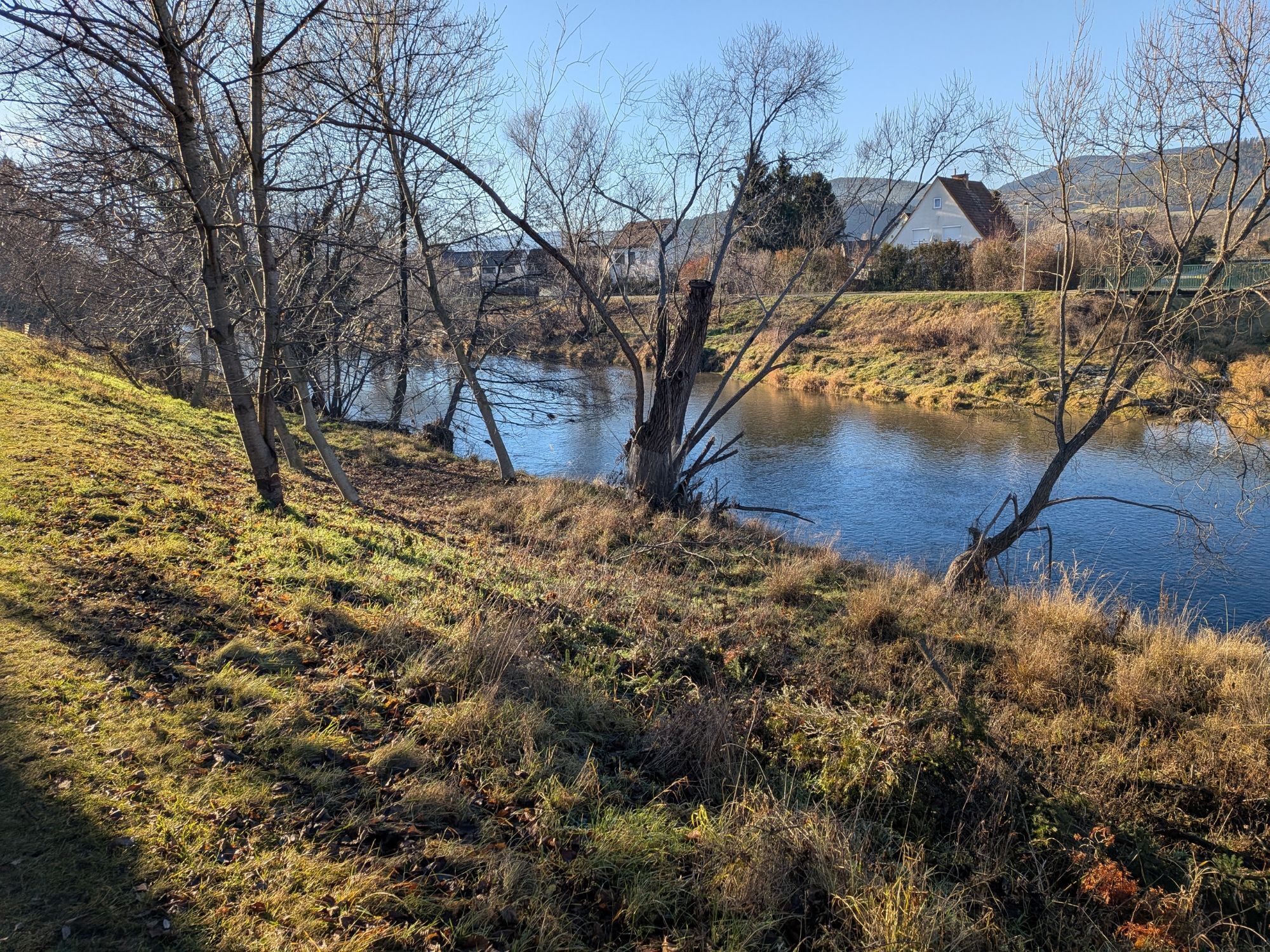
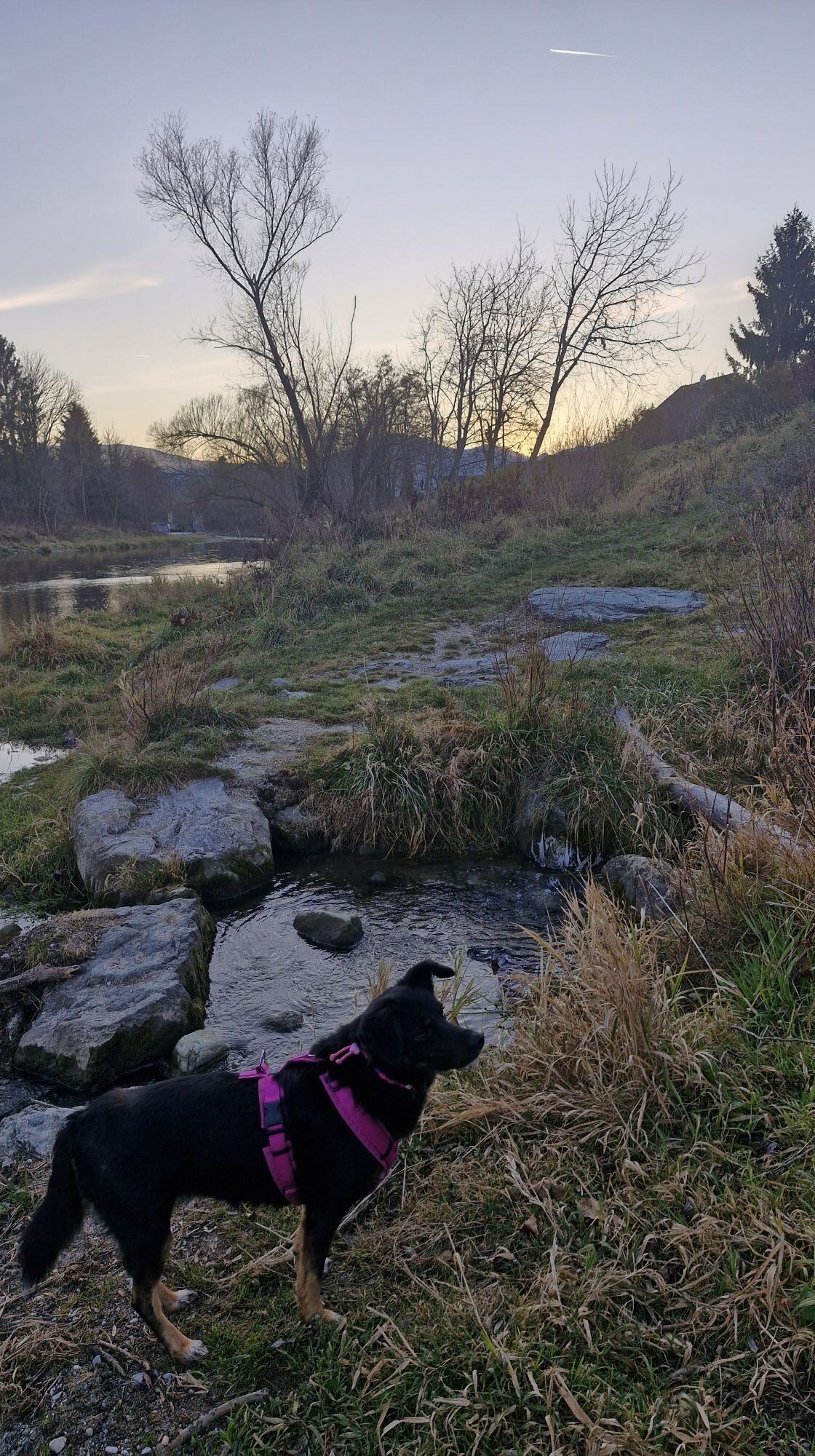
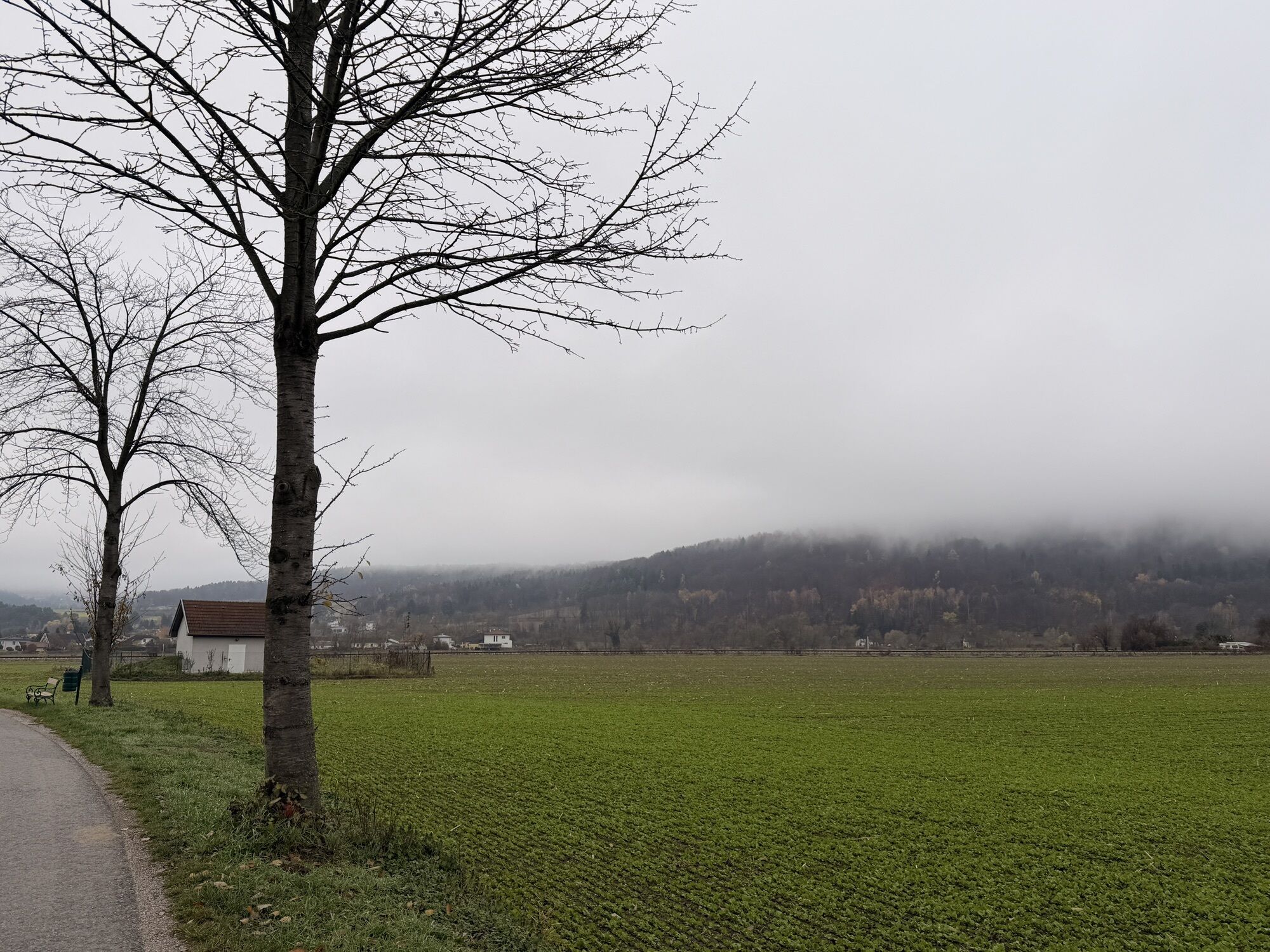

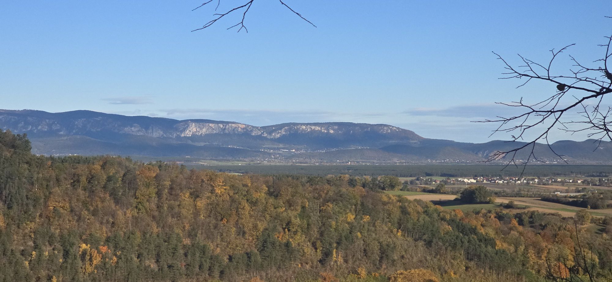
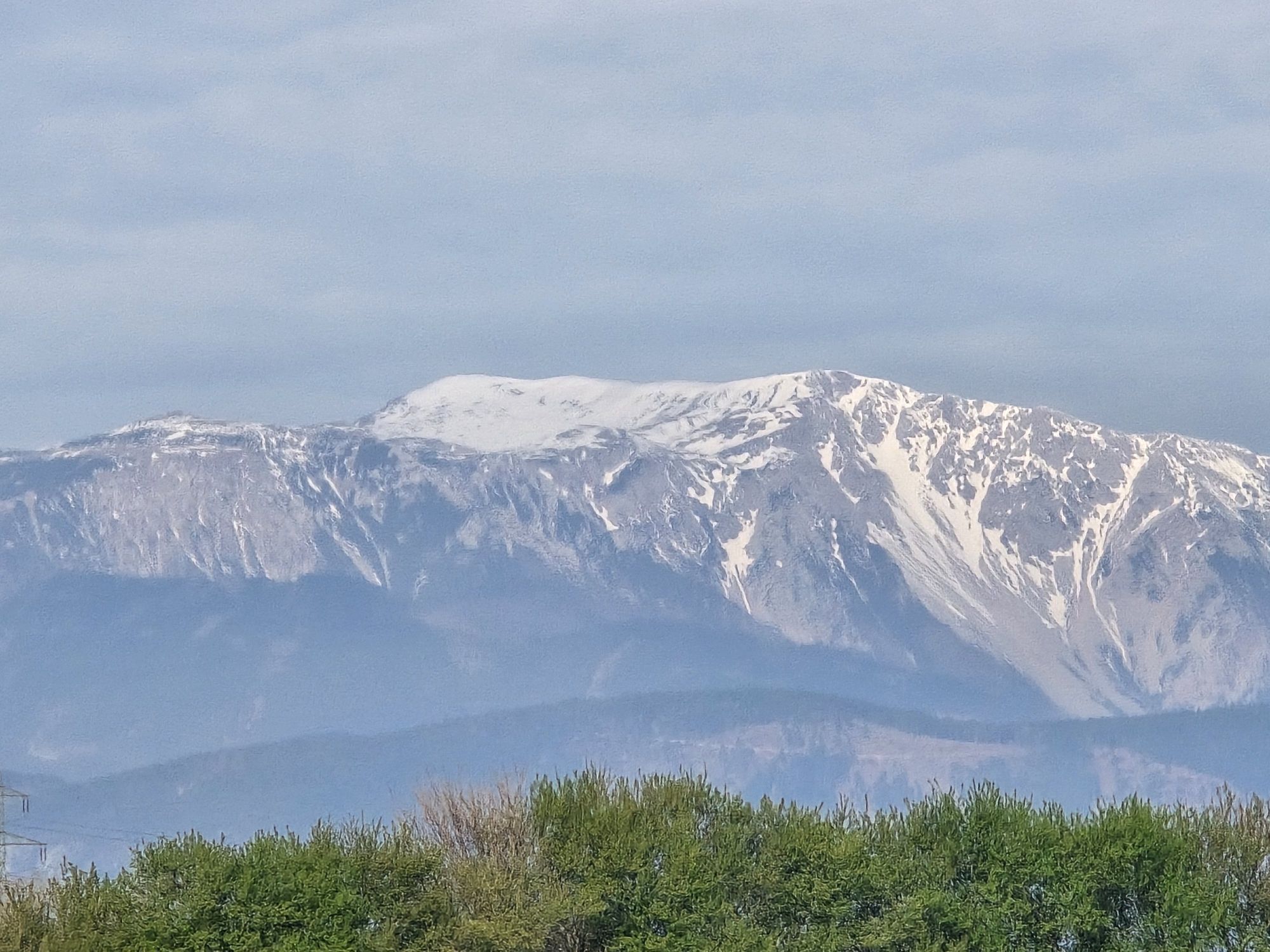

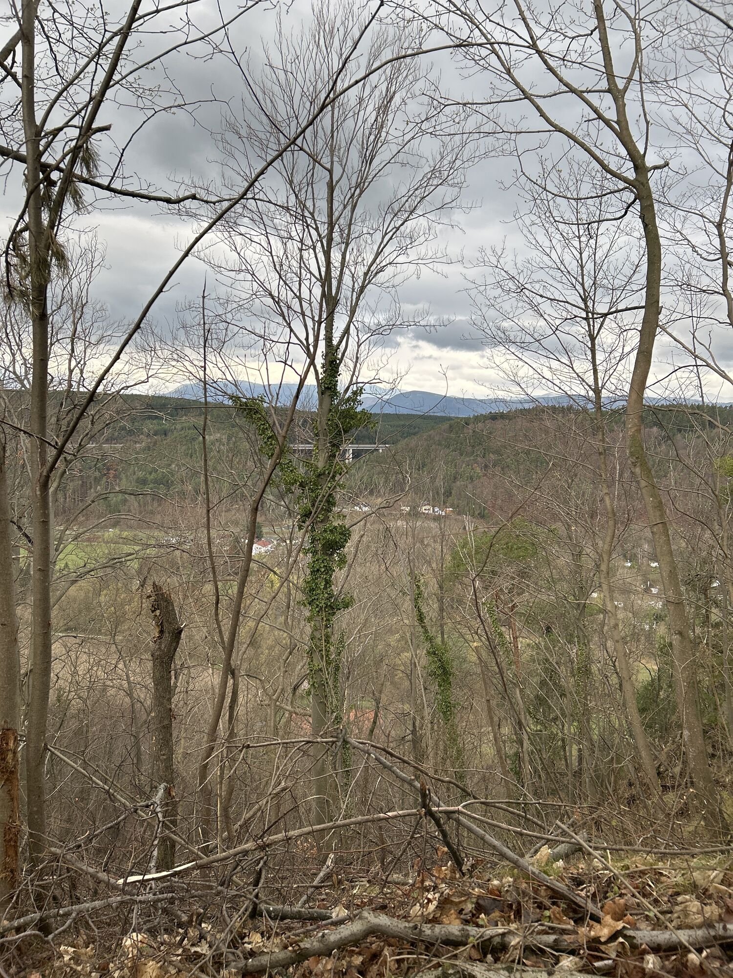
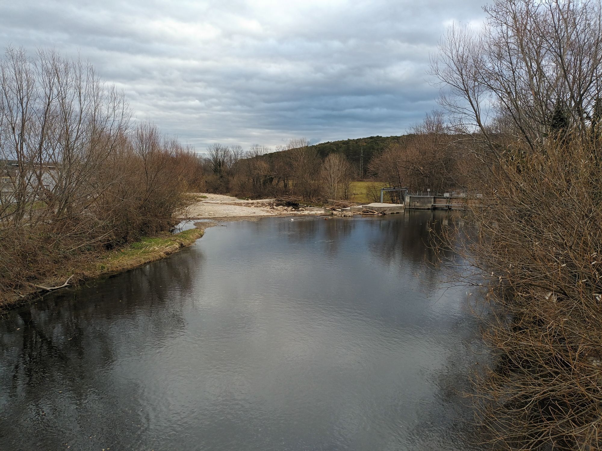

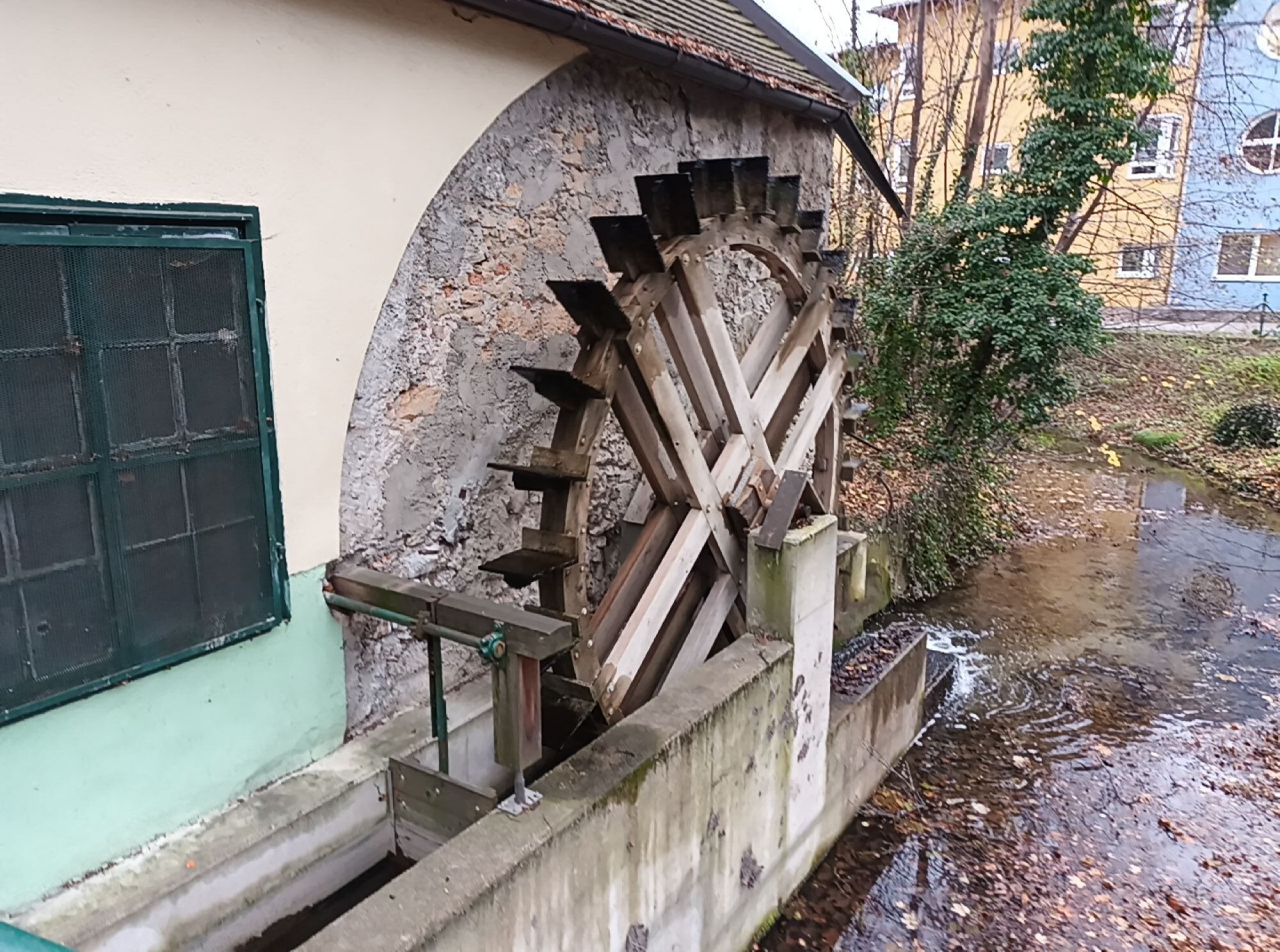
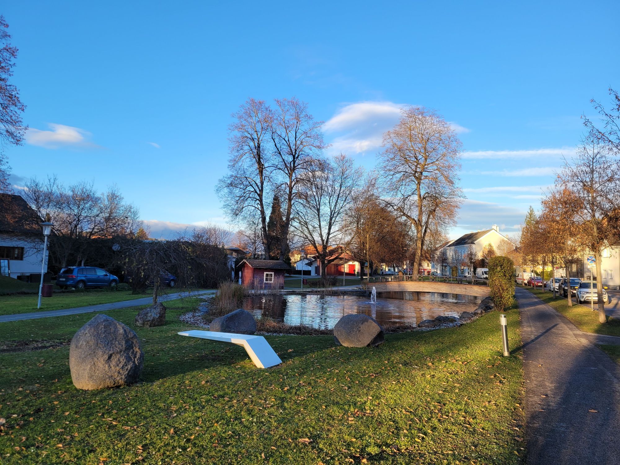
Starting in Lanzenkirchen, this tour connects some of the most beautiful cycle paths through the Vienna Alps. A section of the Eurovelo 9 takes you along the Rosalia range of hills. From Walpersbach, the...
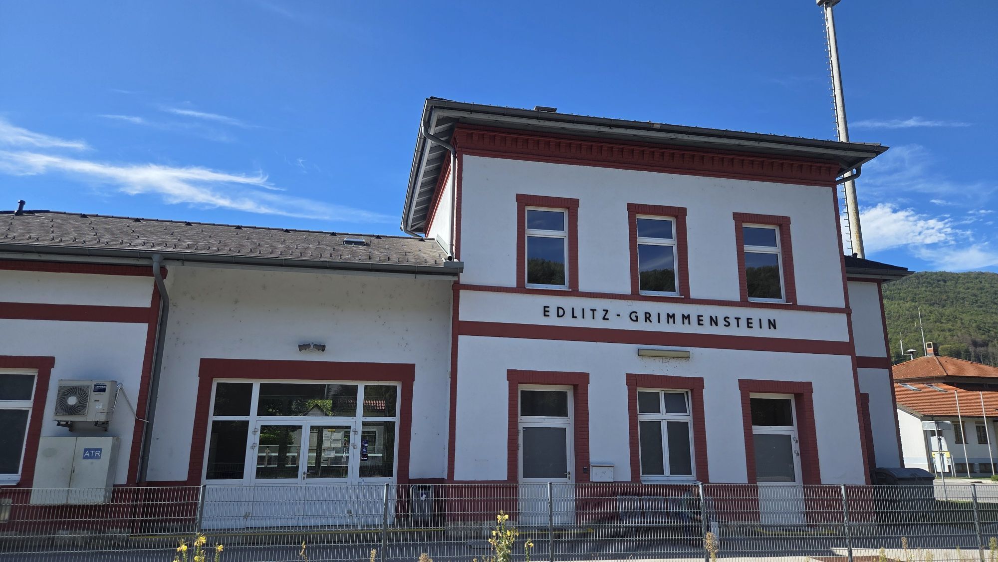
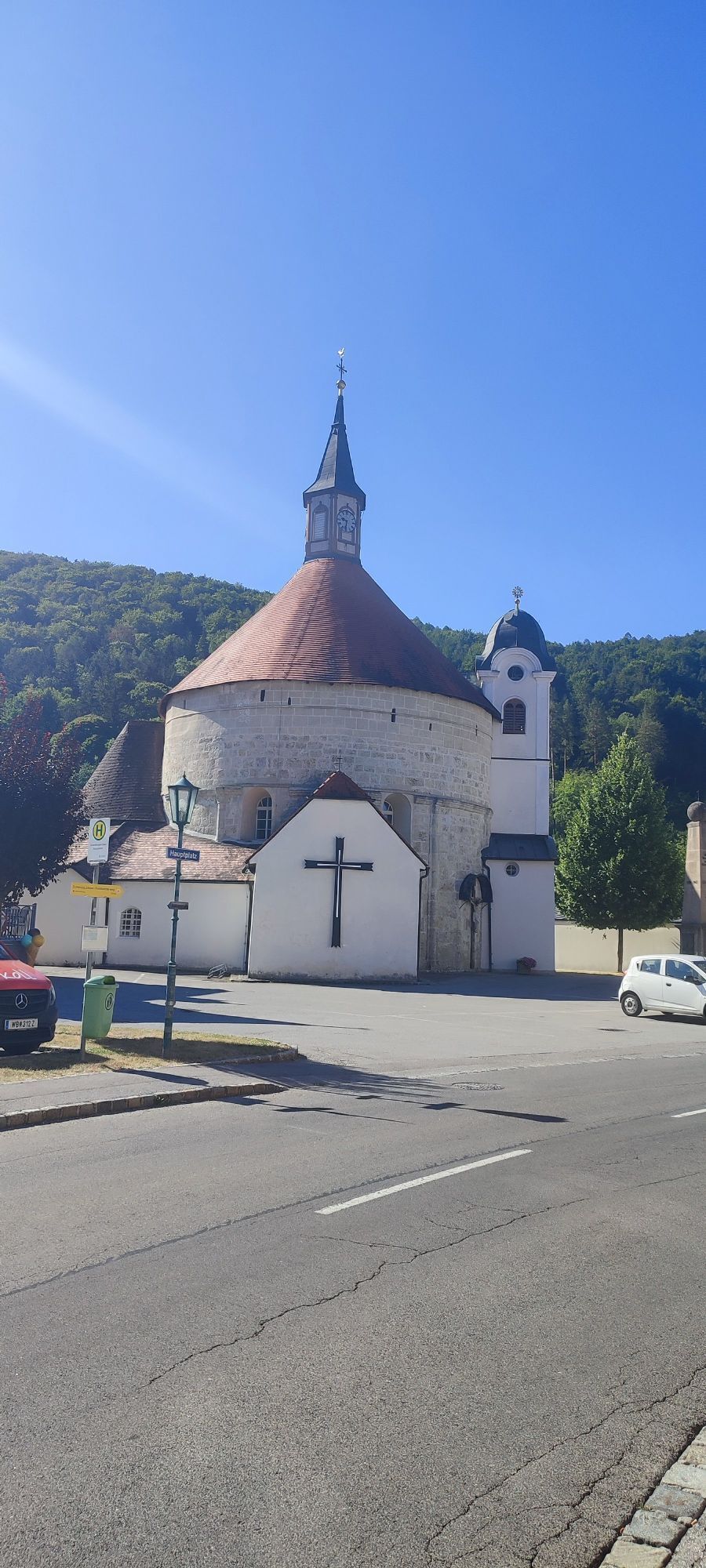
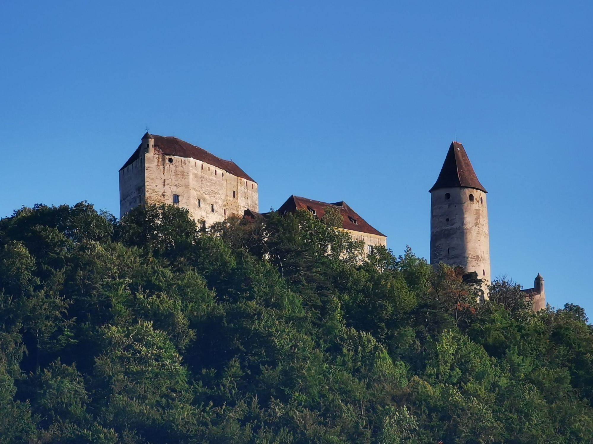
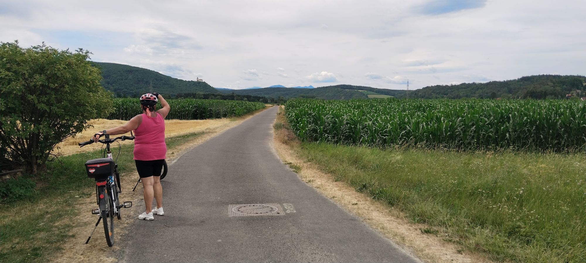
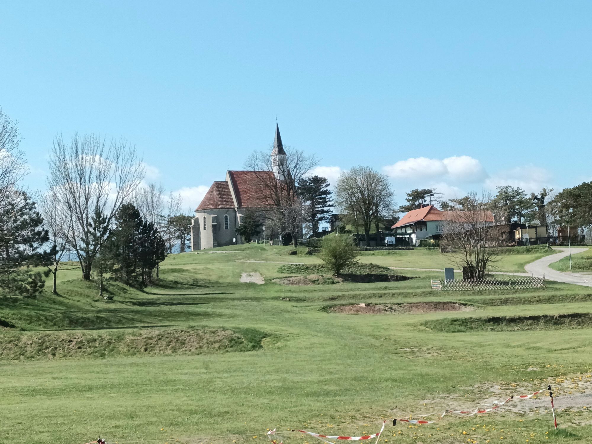
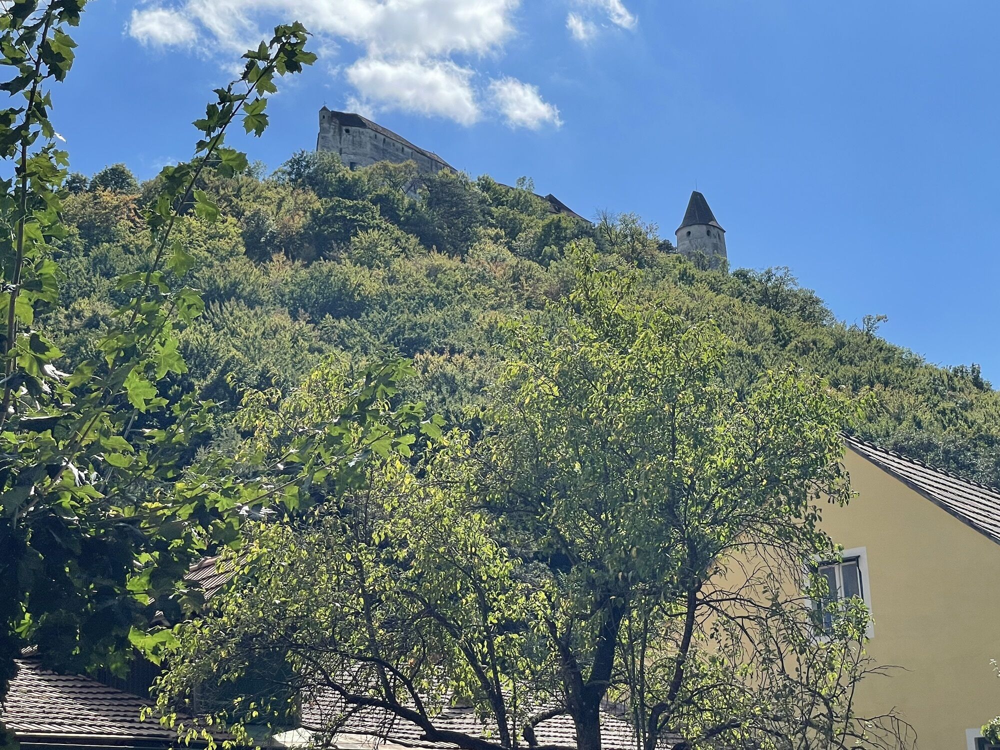
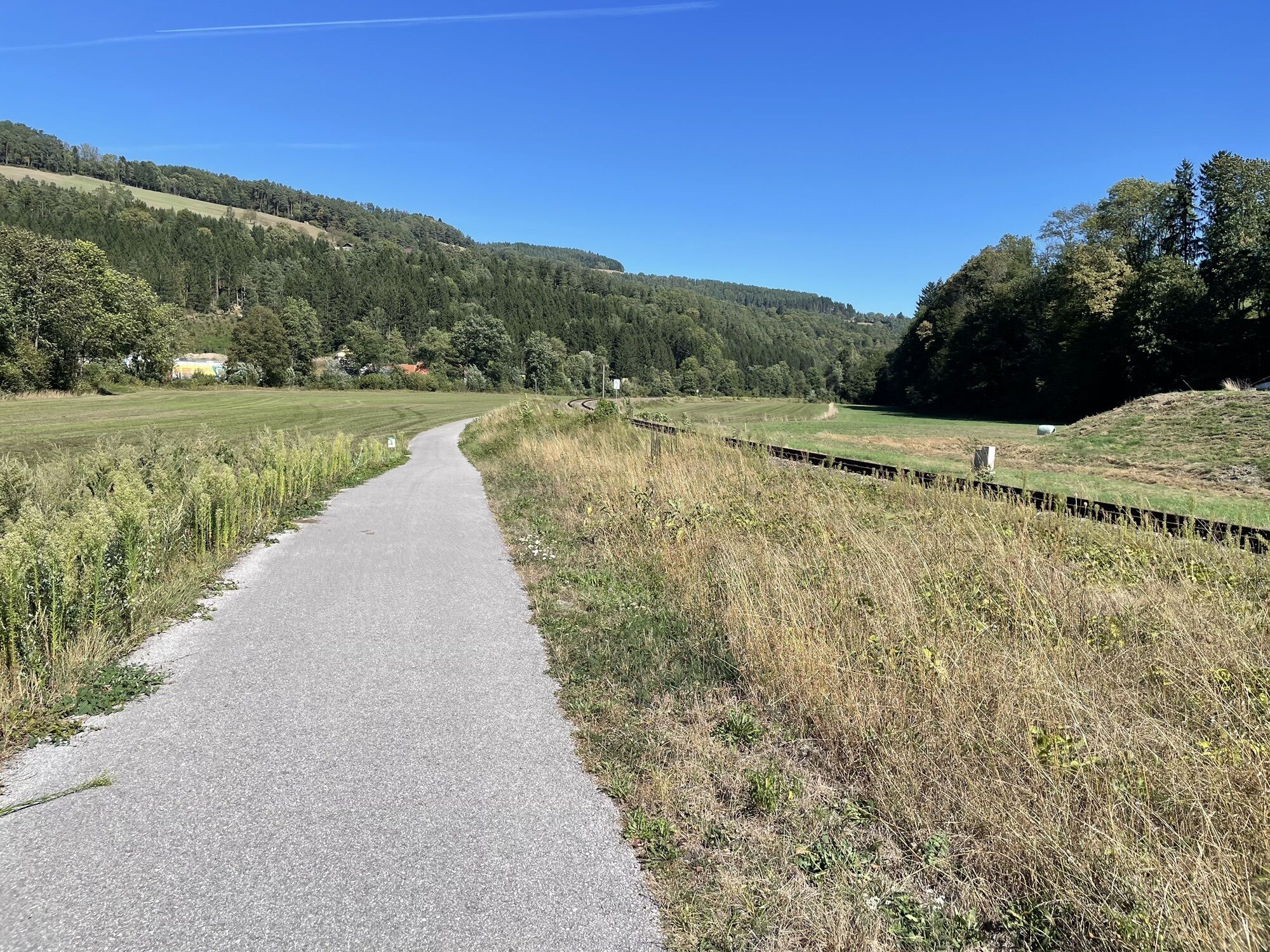
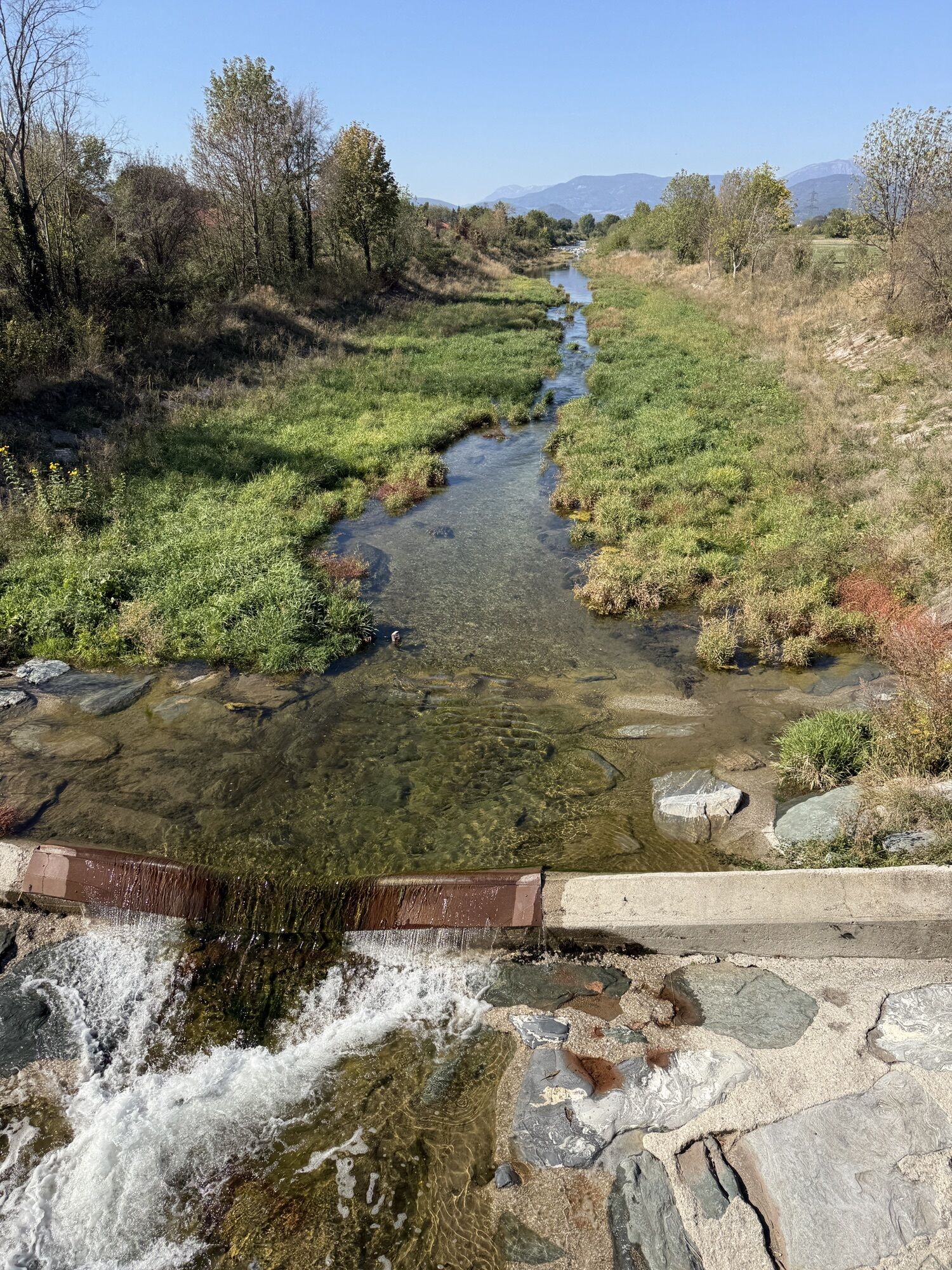
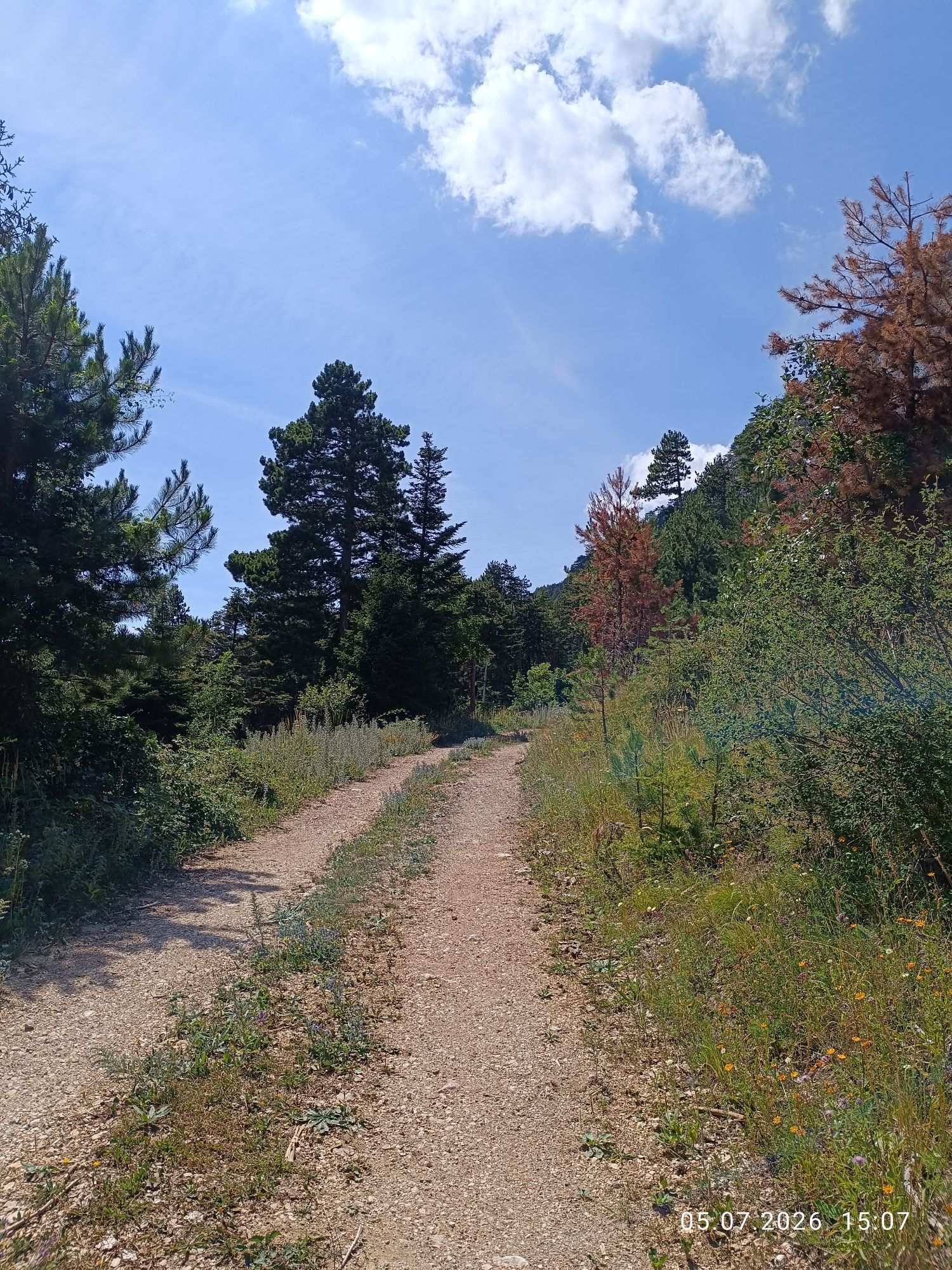
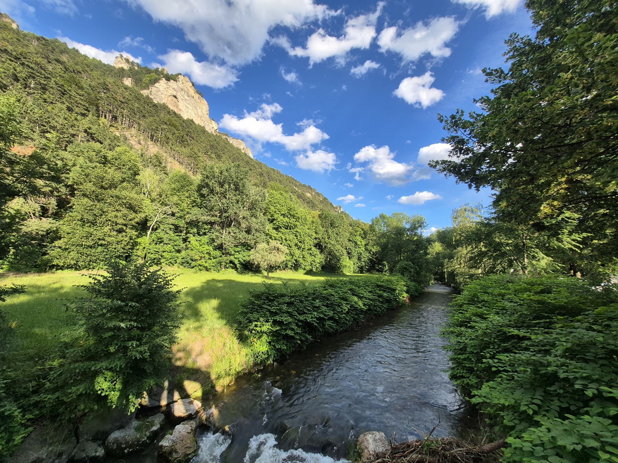
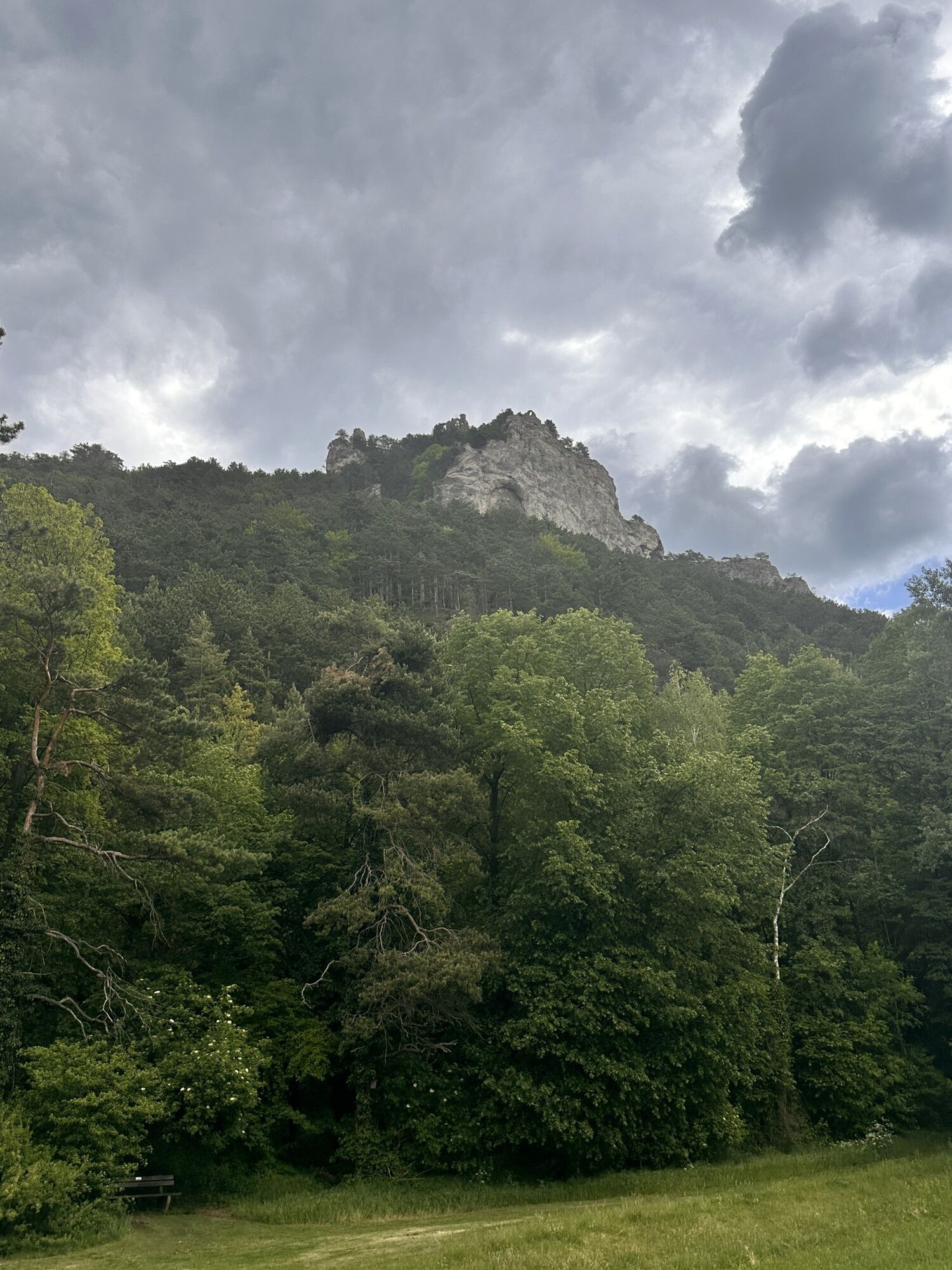
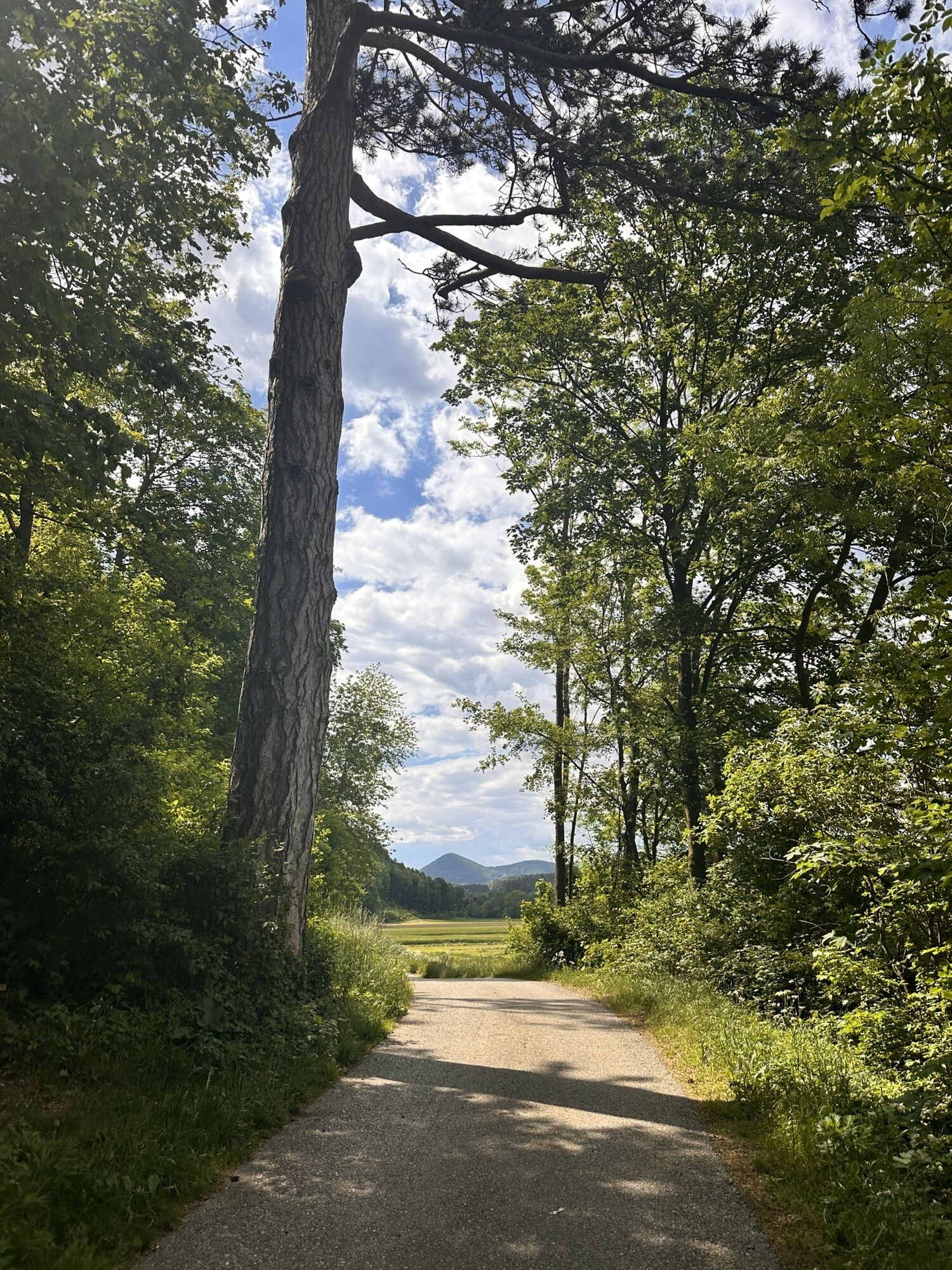
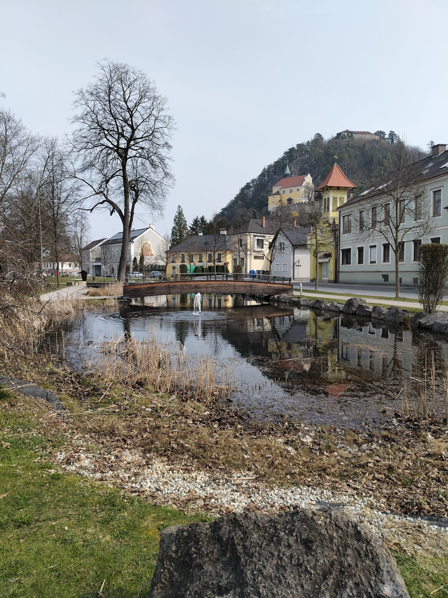
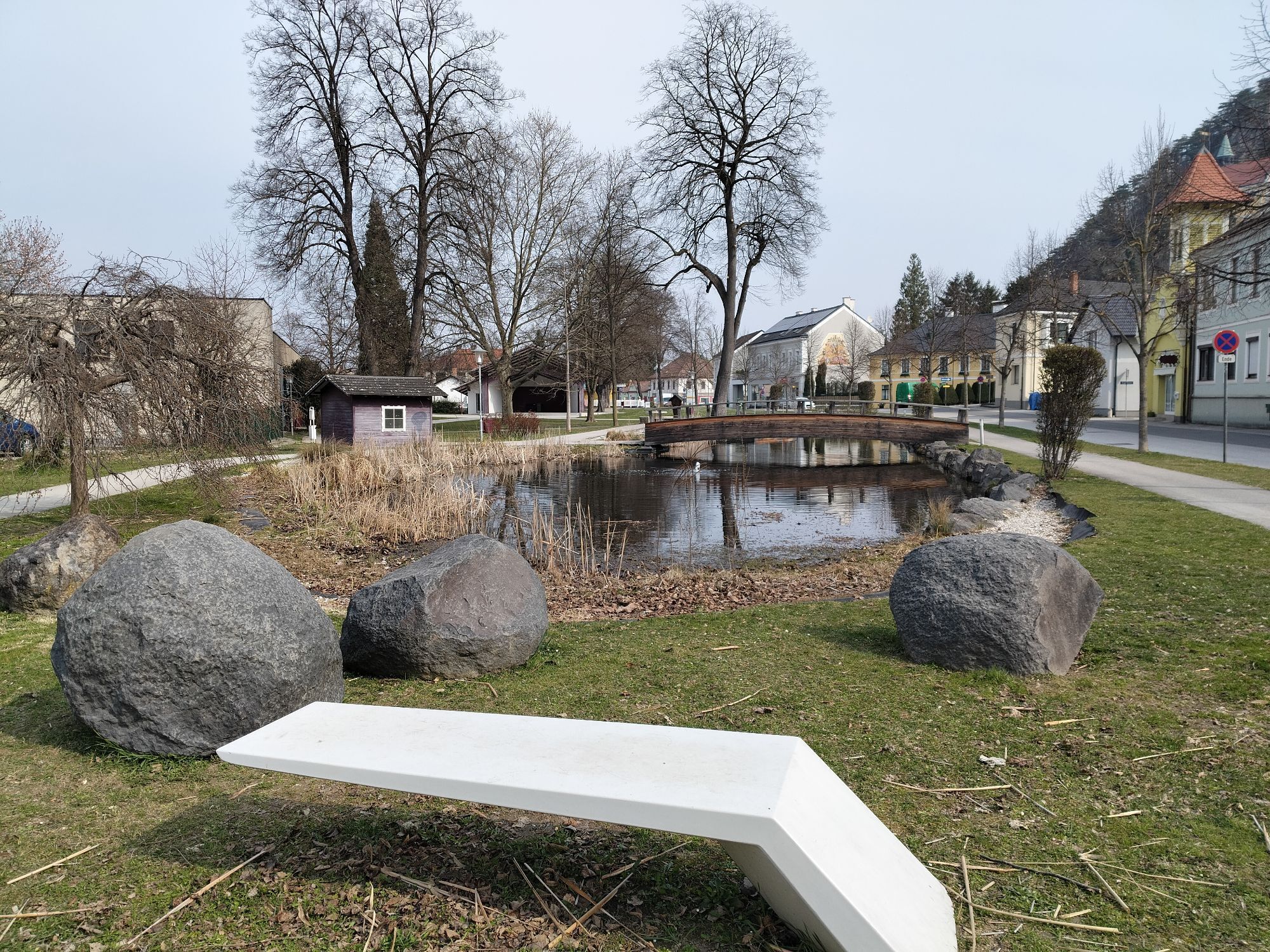
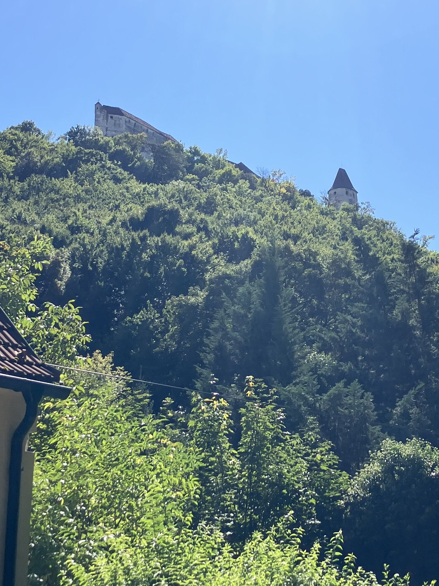
Starting in Lanzenkirchen, this tour connects some of the most beautiful cycle paths through the Vienna Alps. A section of the Eurovelo 9 takes you along the Rosalia range of hills. From Walpersbach, the route leads accompanied by the two-castle view of Pitten Castle and Seebenstein to Pitten and via Grimmenstein. From Aspang-Markt, the route continues along the Feistritztal cycle path. The cycle route through the Feistritztal valley takes you through a magical landscape that inspired the philosopher Ludwig Wittgenstein. In Kirchberg am Wechsel, the route continues along the country road, past the Hermannshöhle cave and onto the Rams. A stop at the Rams inn is highly recommended. Via Kranichberg, the route leads along a road with hardly any traffic to Gloggnitz, to the Schwarzatal cycle route. Here in Gloggnitz, we recommend a visit to the Dr. Karl Renner Museum in the former villa of the famous politician, who was State Chancellor of the First Republic from 1918 to 1920 and also played a key role in the creation of the Second Republic. On the Schwarzatal cycle route, along the Schwarza, the route leads to Neunkirchen, where the historic town center invites you to stroll around. The end point of this cycle tour is Lanzenkirchen again.

We start in Bad Erlach at Therme Linsberg Asia. There we follow the Eurovelo 9 heading towards Wechsel until the junction with the Feistritztal cycle path at Höll (after Grimmenstein). On the Feistritztal cycle path, we cycle to Otterthal, then turn right and take the country road L134 crossing via Raach am Hochgebirge to Gloggnitz. Attention: this section is not signposted. At Gloggnitz, we join the Schwarza valley bike path. Here we could possibly make a detour upstream to Reichenau an der Rax, or cycle downstream via Neunkirchen along the Schwarza valley bike path back to Bad Erlach. At Brunn an der Pitten, we turn left and return to Bad Erlach at the starting point at Therme Linsberg Asia.
Overnight stays are possible in Bad Erlach, and cyclists can treat themselves to the Hotel & Spa Linsberg Asia for adequate relaxation after intense pedaling. And for a more leisurely pace, the route can be done in two days, with an overnight stay in the middle, for example, in Kirchberg am Wechsel at the Gasthof St. Wolfgang—the cycle path almost leads through the beer garden.
Coming from Vienna on the A2 to the Wr. Neustadt-Süd exit. Then follow the B54, then turn left onto L142 to Bad Erlach.
Coming from Graz on the A2 to the Seebenstein exit. Turn left and follow the B54, then turn right onto Erlacher Straße (L4029). Continue on Föhrenau-Hauptstraße. Take the first exit at the roundabout and follow L142 to Bad Erlach.
From Wr. Neustadt train station, a train runs regularly to Bad Erlach.
Further information at: www.oebb.at
Parking facilities are available at Therme Linsberg Asia.
More info:
Vienna Alps in Lower Austria, www.wieneralpen.at, Tel.: +43 2622 78960

Kamery internetowe z trasy

Popularne wycieczki w okolicy
-
4,9
Flatzer Wand Wanderung
światłoWędrówka 5,62 km -
4,8
Gelände vom Grünbacher Sattel
średniWędrówka 7,52 km -
4,8
ÖTK Klettersteig (vormals HTL Klettersteig) und Blutspur (D/E)
ciężkiVia ferrata 1,41 km -
4,8
"Krummbachstein 1602m" - Eng - Payerbach - Rundwanderweg
średniWędrówka 24,8 km -
4,8
Hohe Wand: Babygrat (1+), Rundwanderung und Wagnersteig (A)
ciężkiWędrówka 11,8 km -
4,7
Hohe Wand Wagnersteig - Springlessteig
średniWędrówka 5,59 km -
4,7
Seebenstein - Türkensturz - Burg Seebenstein
światłoWędrówka 7,50 km -
4,7
Prigglitz - Pottschacher Hütte - Rote Wand - Prigglitz
średniWędrówka 8,80 km -
4,7
Reichenau - Krummbachstein
ciężkiWędrówka 15,4 km -
4,7
Hohe Wand: Grafenbergweg - Große Kanzel - Rastkreuz - Gländ
średniWędrówka 9,03 km
Wędrówki i tropienie


Nie przegap ofert i inspiracji na następne wakacje
Twój adres e-mail została dodana do listy mailingowej.





