







Schwarzatal Radroute


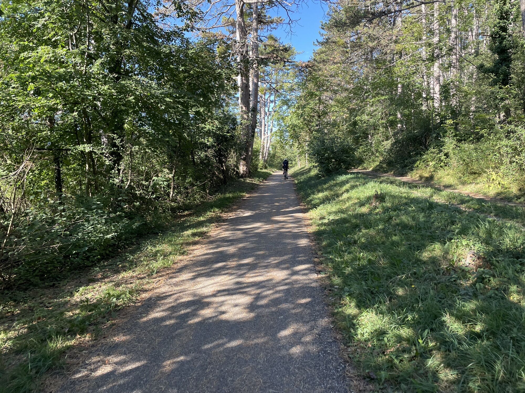
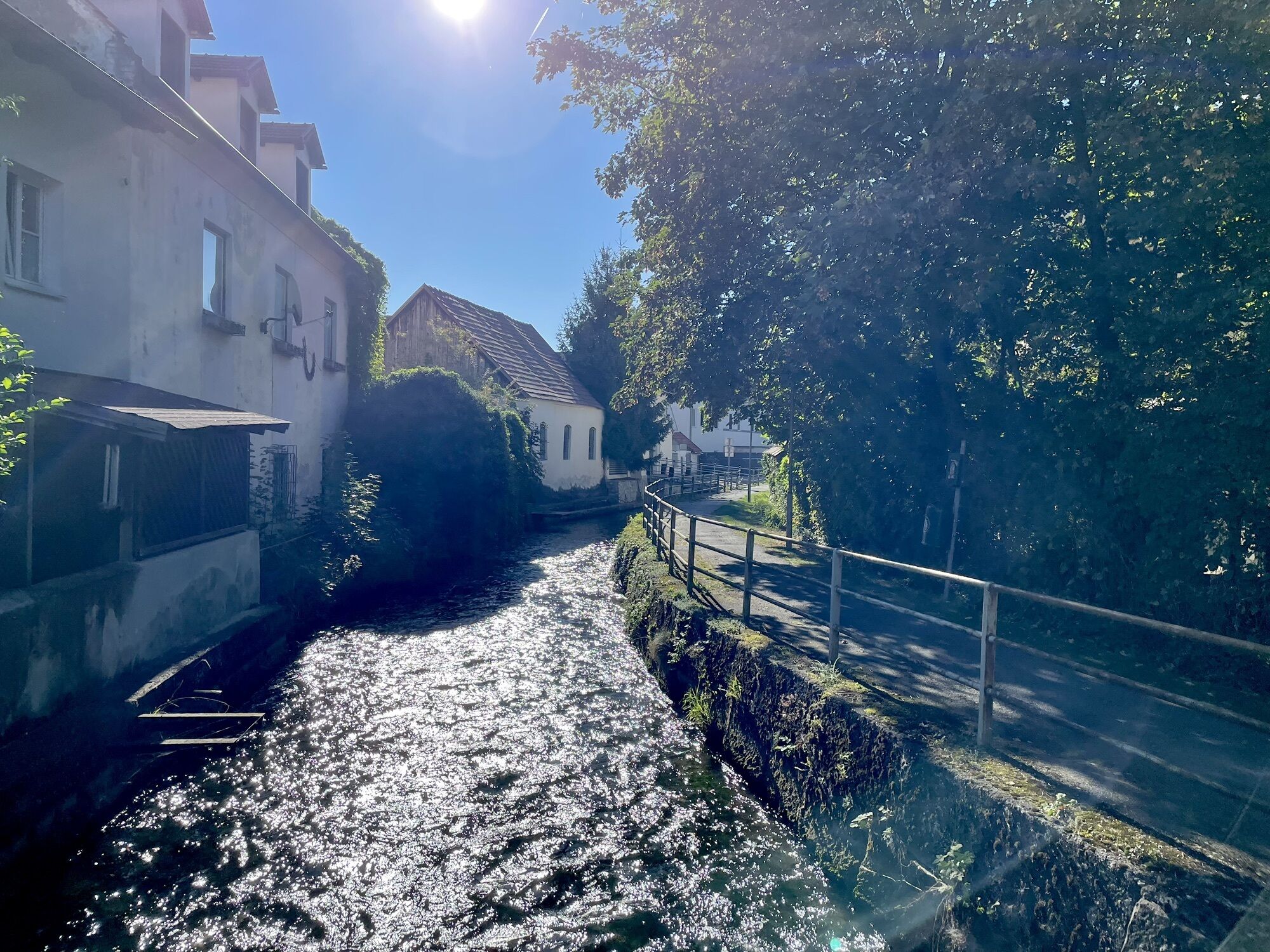
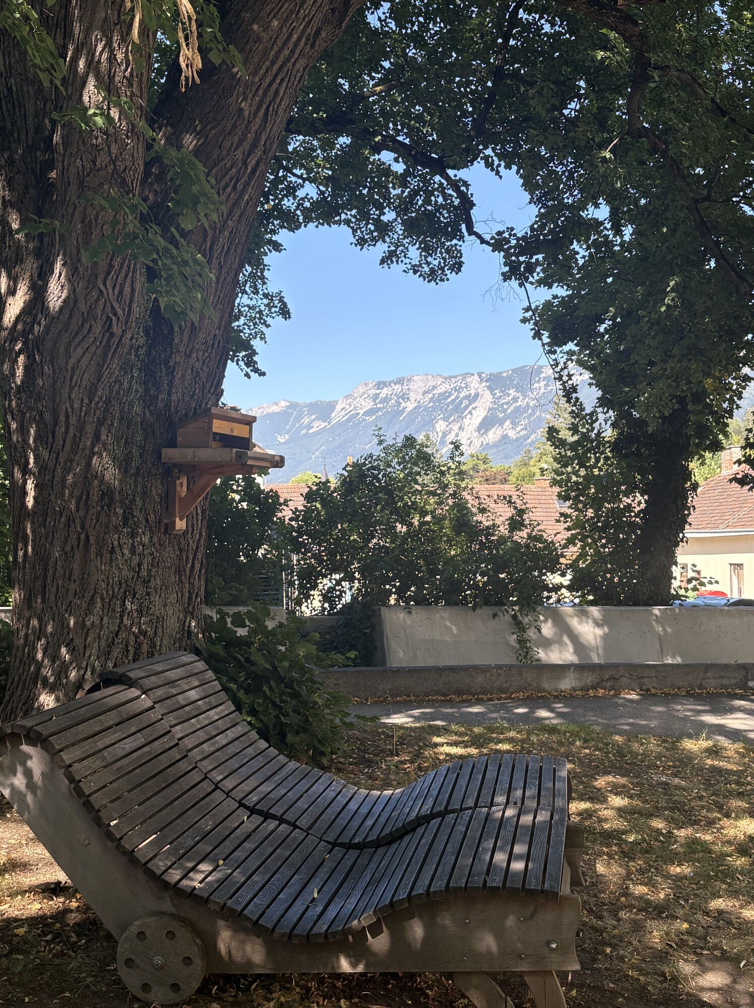
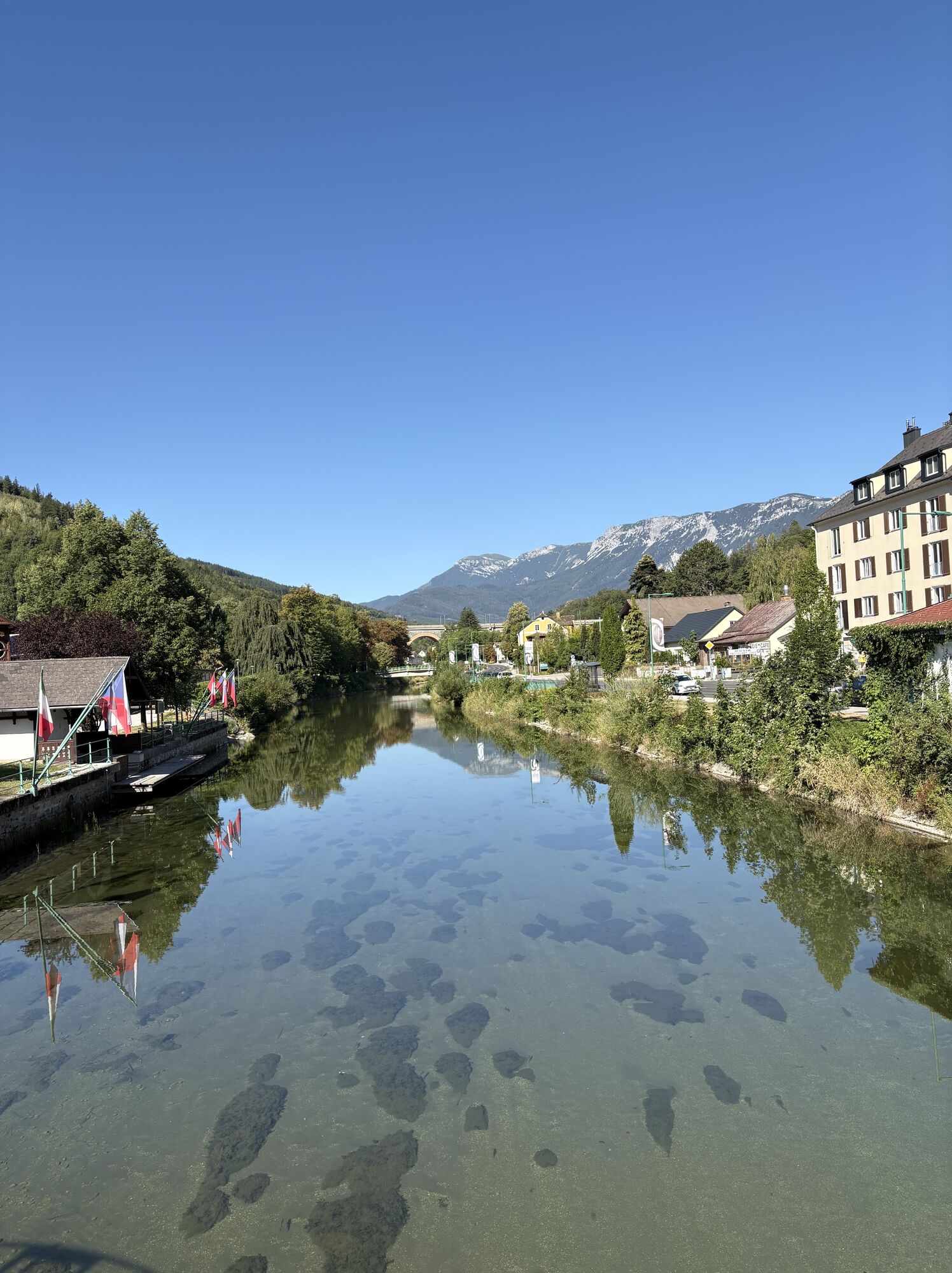
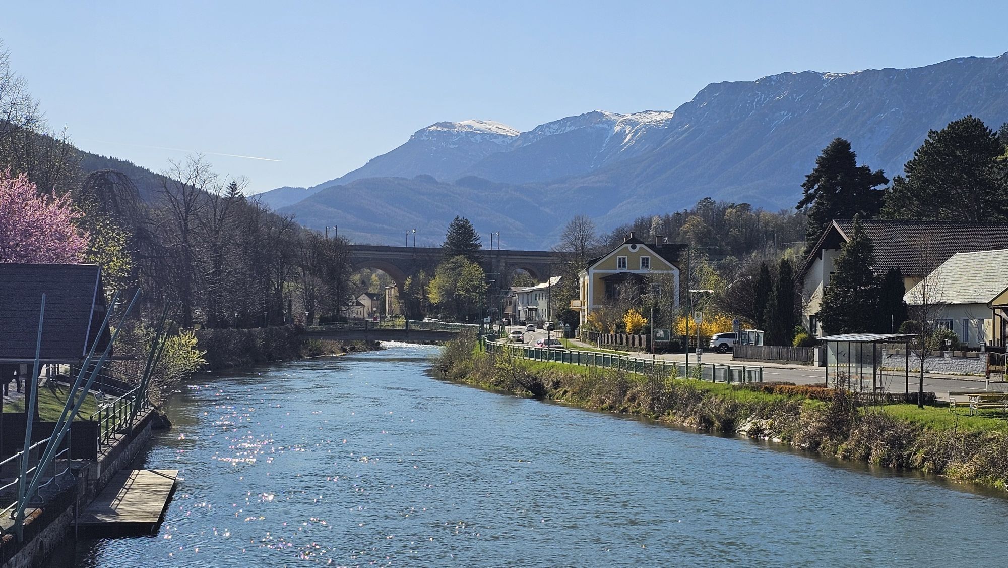
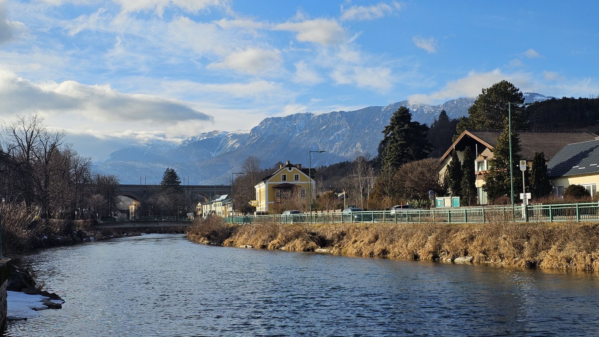
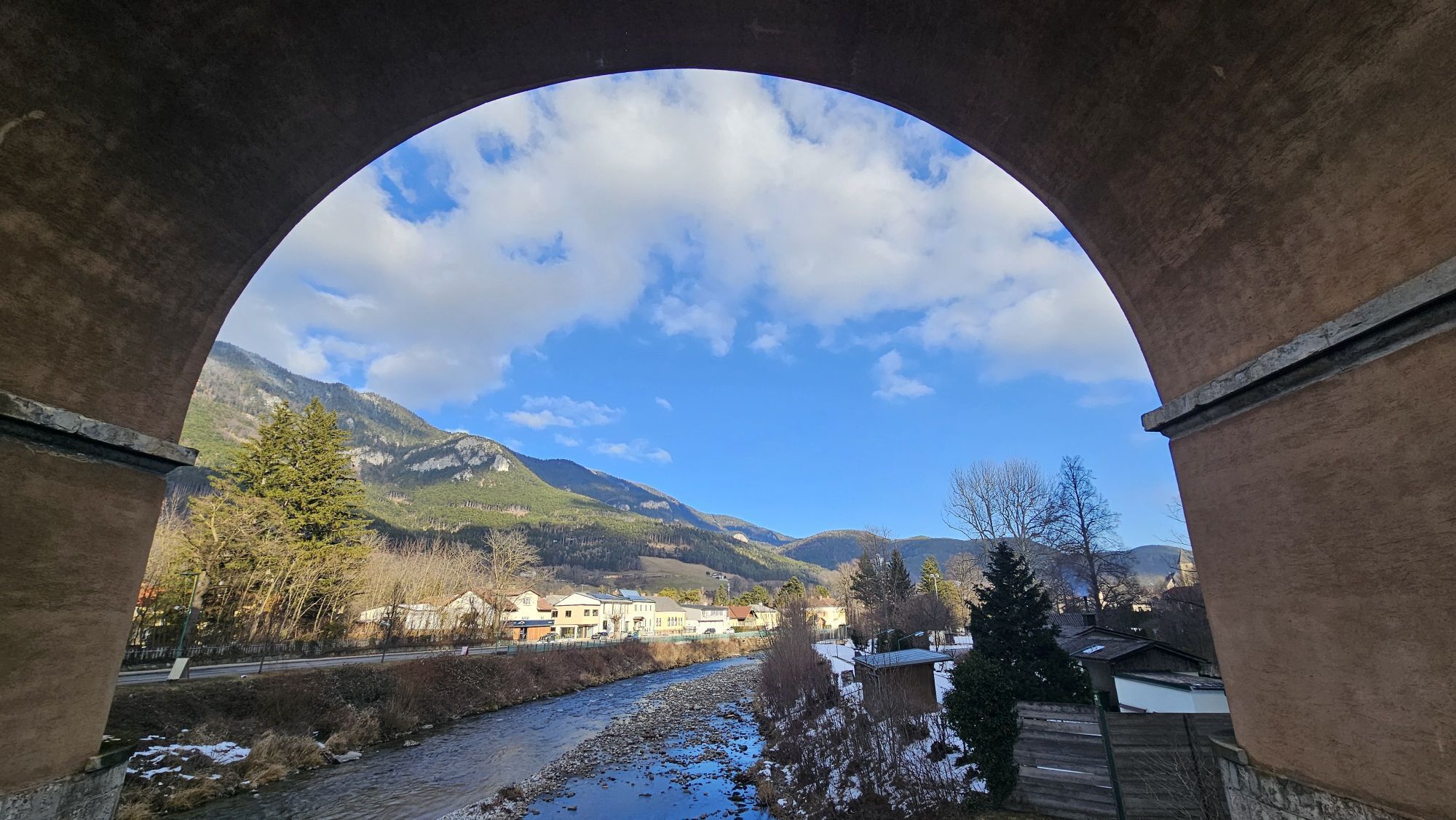
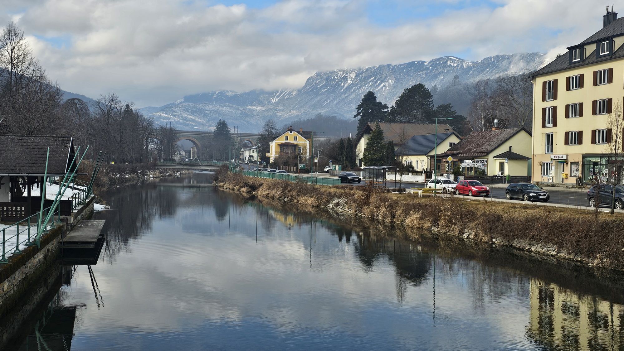
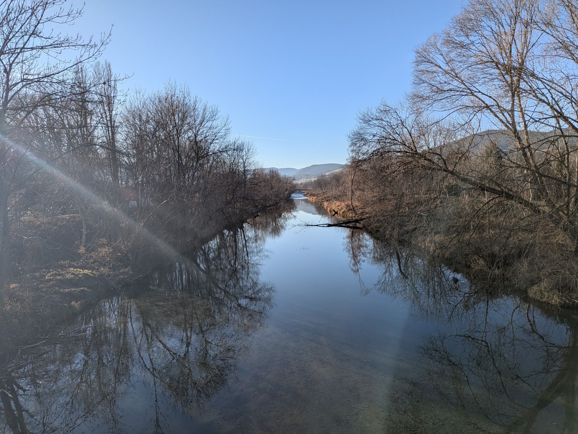
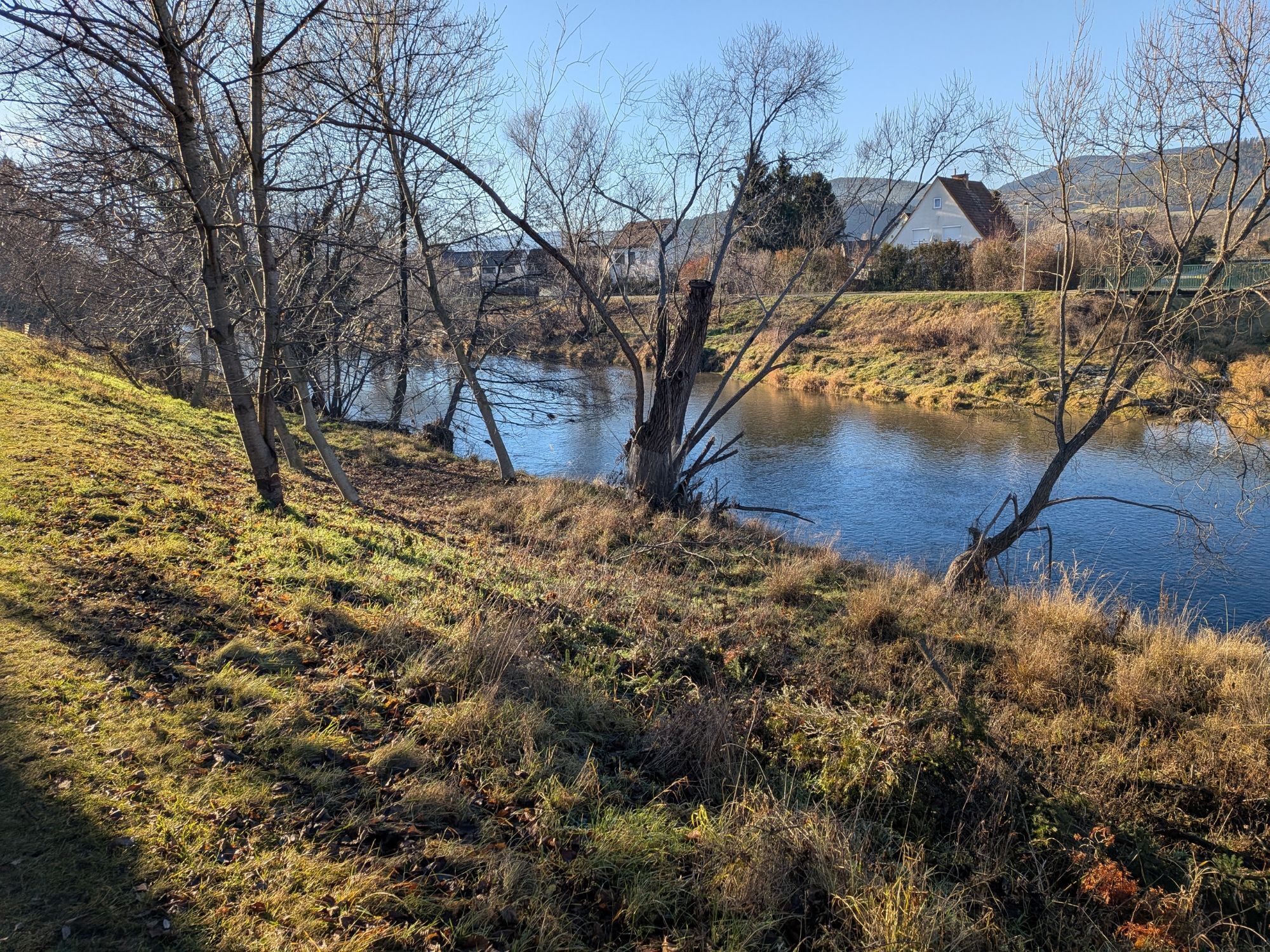

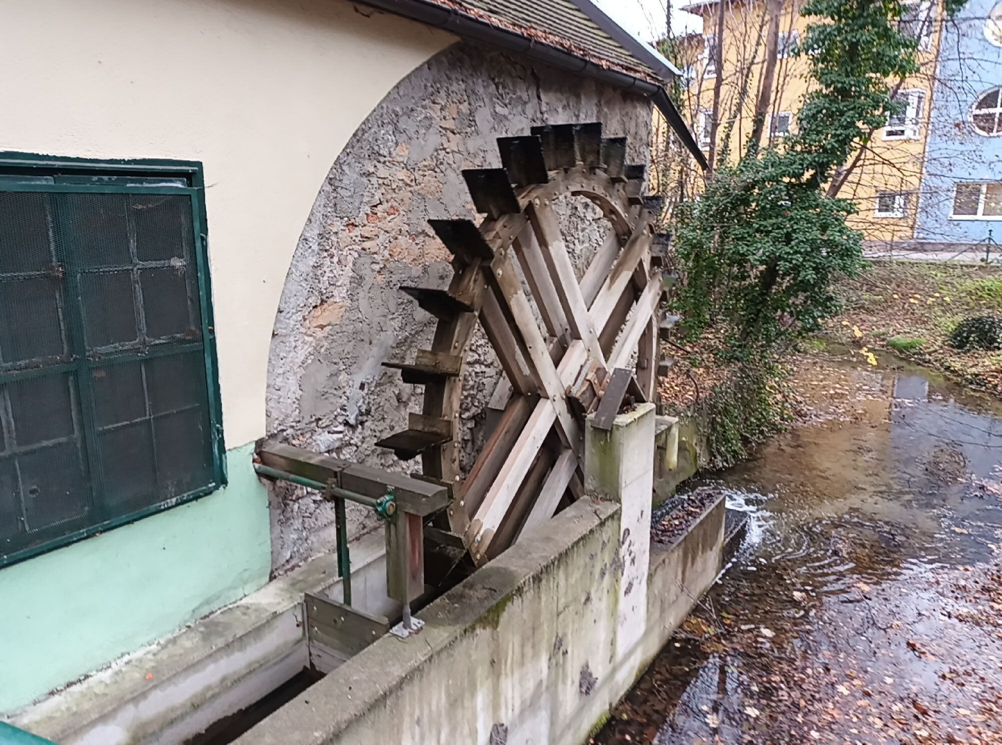
The Schwarzatal Radroute combines alpine landscapes at the foot of the Rax with the Steinfeld plain around Lanzenkirchen. This cycle route passes adjacent to the Schwarzatal and covers the roots of industrialisation...
The Schwarzatal Radroute combines alpine landscapes at the foot of the Rax with the Steinfeld plain around Lanzenkirchen. This cycle route passes adjacent to the Schwarzatal and covers the roots of industrialisation of this historic landscape with the Semmering Railway World Heritage Site and summer resorts.
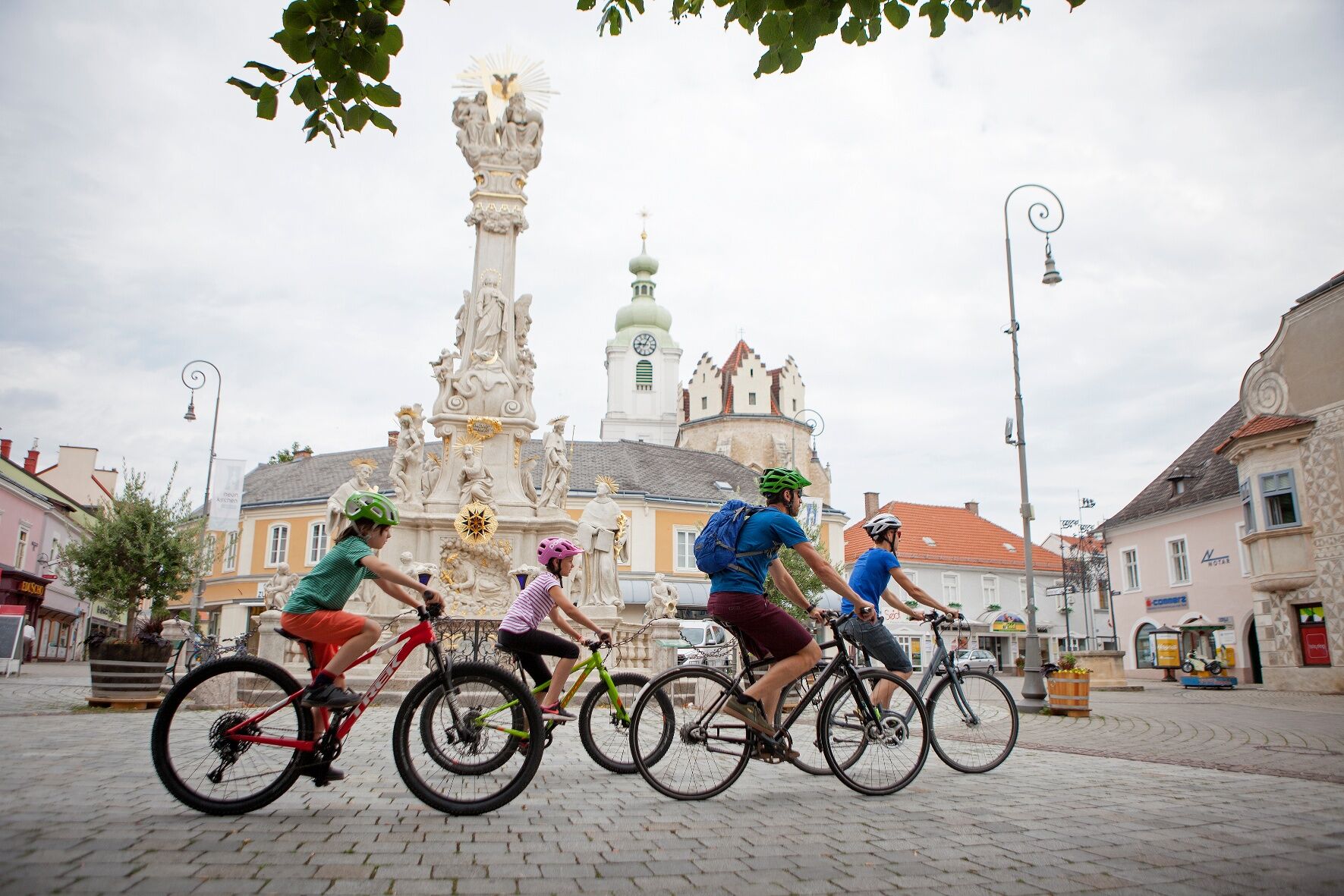
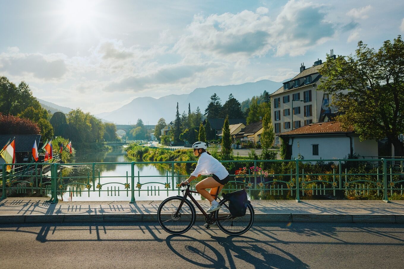
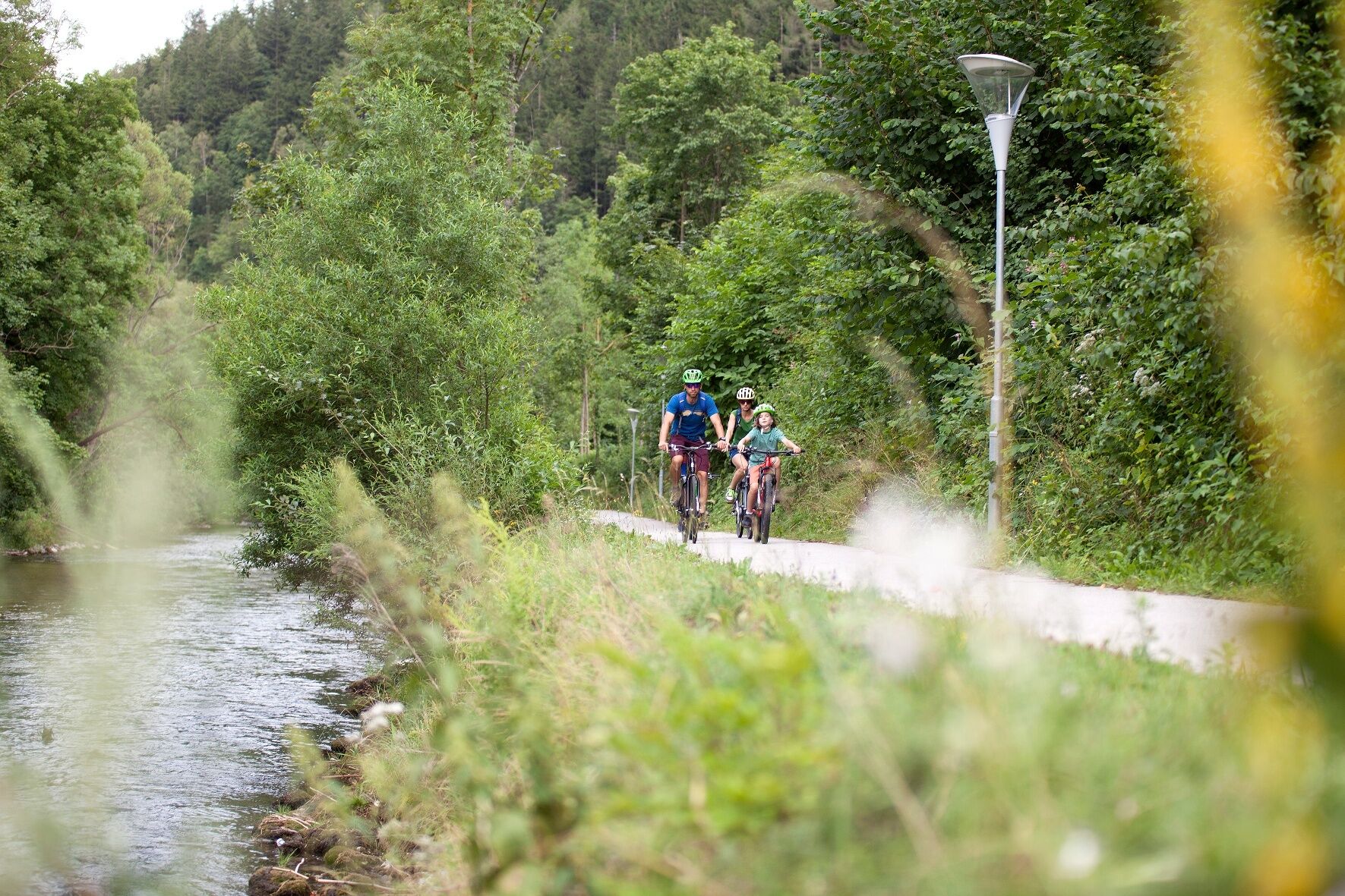
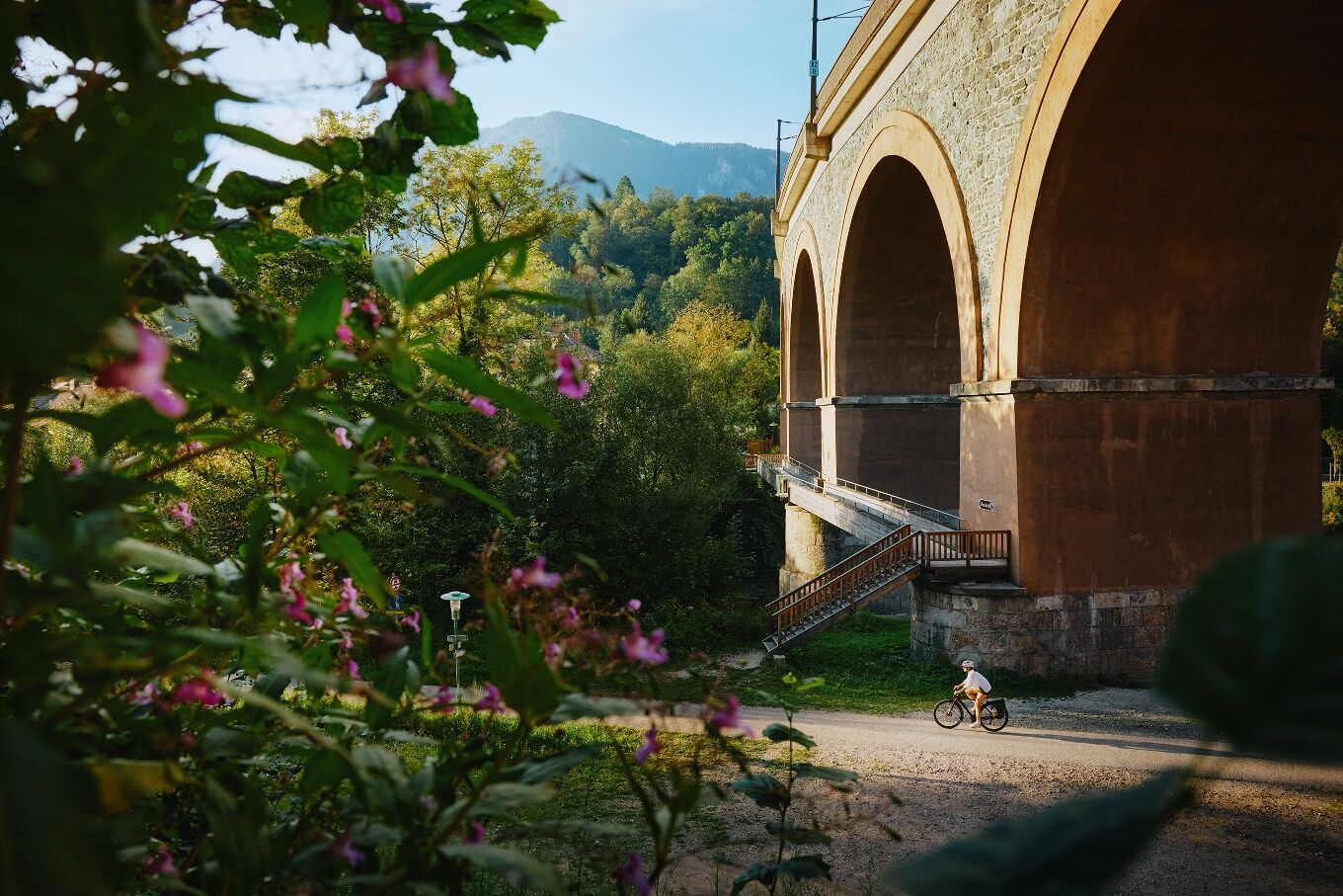
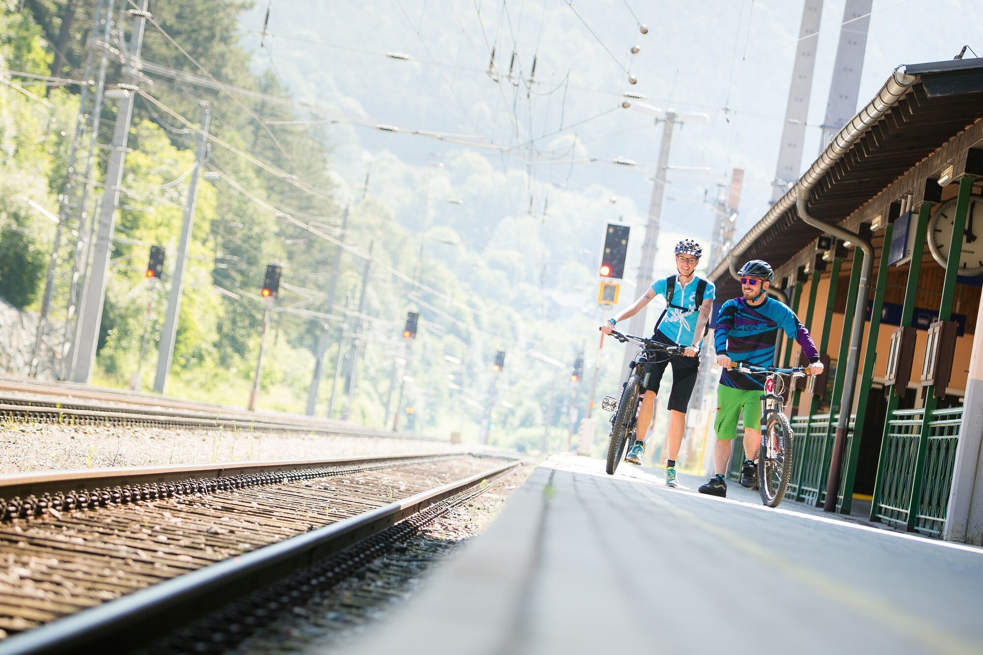

The start of this cycling route through the Schwarzatal valley is at the municipal office in Lanzenkirchen, where Eurovelo 9 crosses the Leitha river. It’s easy to reach with the train from Wiener Neustadt then continue by bike, or cycle along Eurovelo 9 from Wiener Neustadt to Lanzenkirchen.
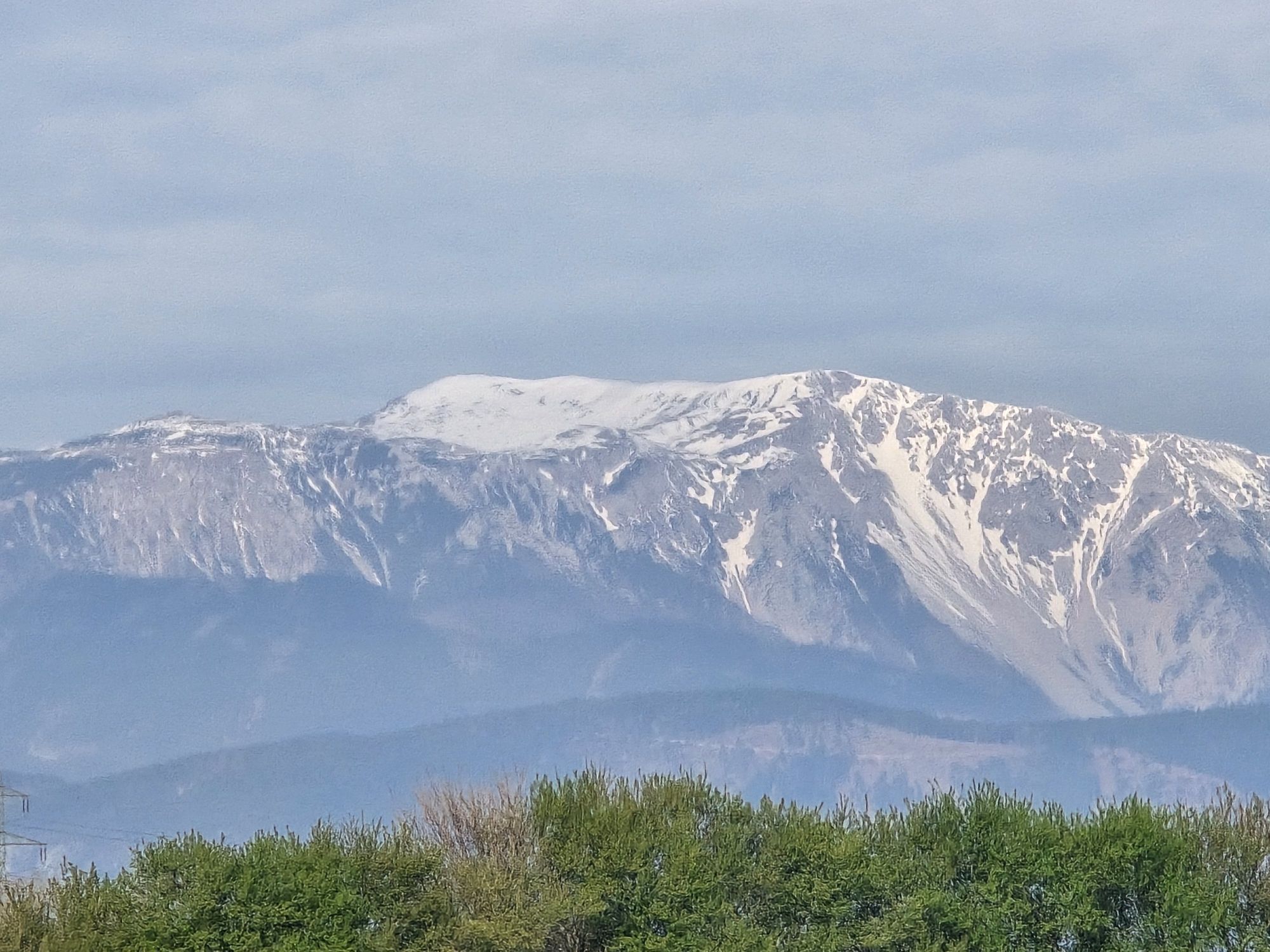
Go north-west from the municipal office via the railway, and then head west parallel to the railway tracks. Views of Schneeberg and Rax can be enjoyed even at this early stage.
The road becomes the Haderswörther-Hauptstraße. At this point cross the roundabout to get to the L142 heading towards Föhrenau. Upon arriving in Föhrenau, turn right into Wiener Straße when reaching the fire station, then immediately turn left into Kurze Gasse. This becomes a well-paved field path which then becomes the Hauptstrasse when reaching Schwarzau am Steinfeld. This is left after one hundred metres, going past the football ground into an area with far less traffic.
Afterwards, you cross over onto the B54. At this point you cross the bridge over the Süd-Autobahn. After this downhill section turn left onto a paved road and path soon afterwards. This takes you alongside the Süd-Autobahn as far as Breitenau.
When in Breitenau carry on for around 200 m on the L140 (Hauptstraße) before turning left into Fasangasse Continue along a paved cycle and walking route parallel to, and then below the autobahn to Natschbach-Loipersbach.
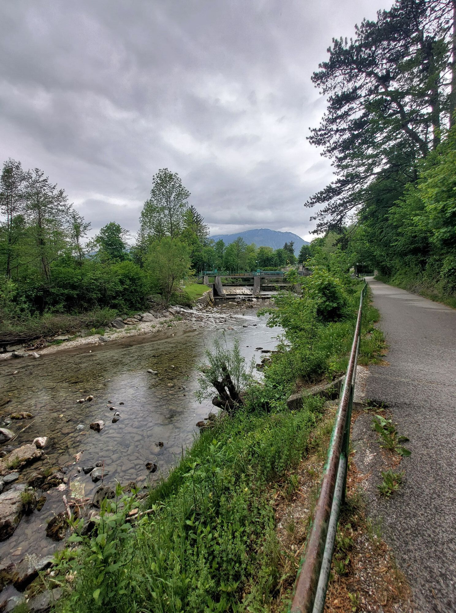
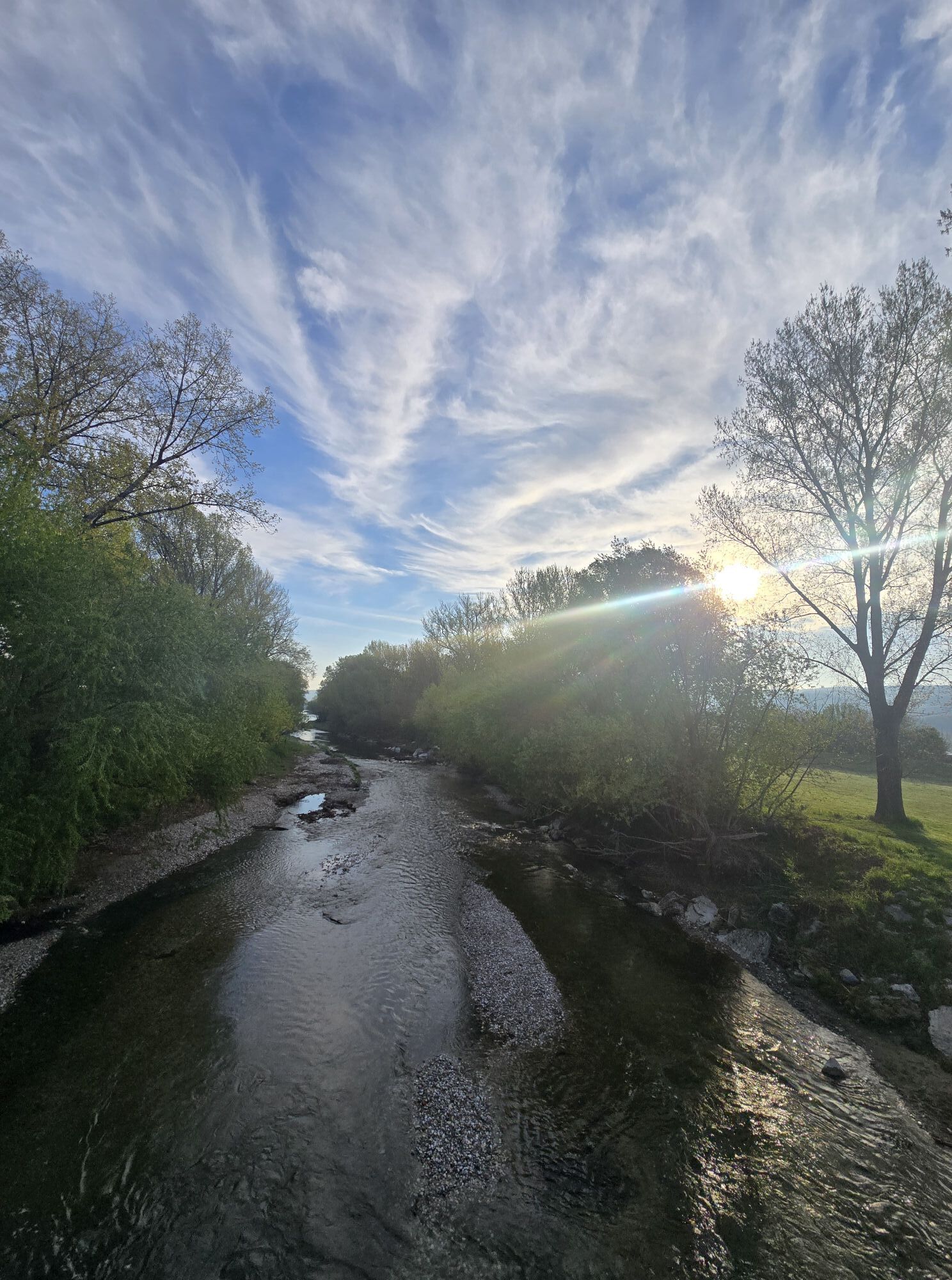
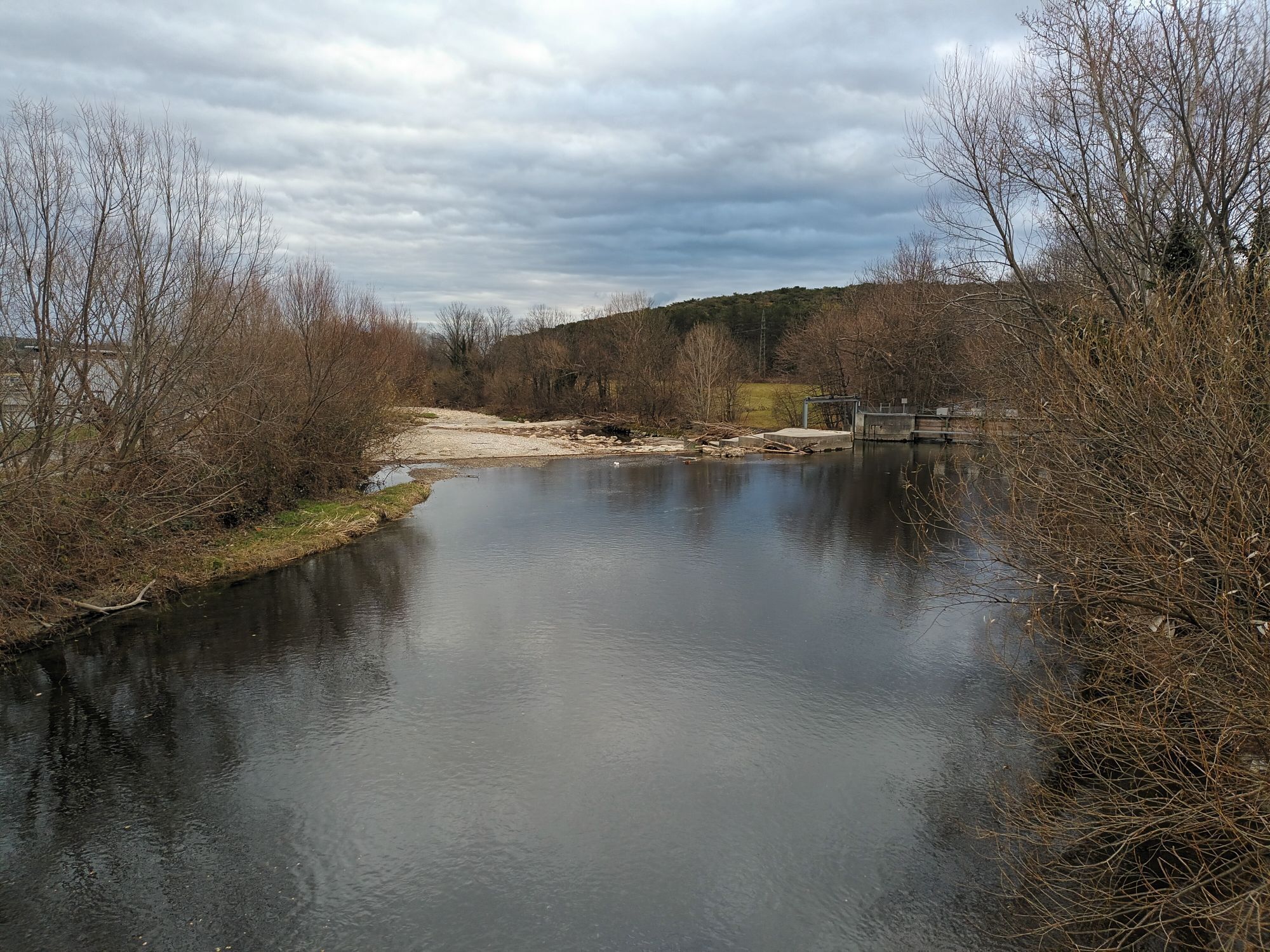
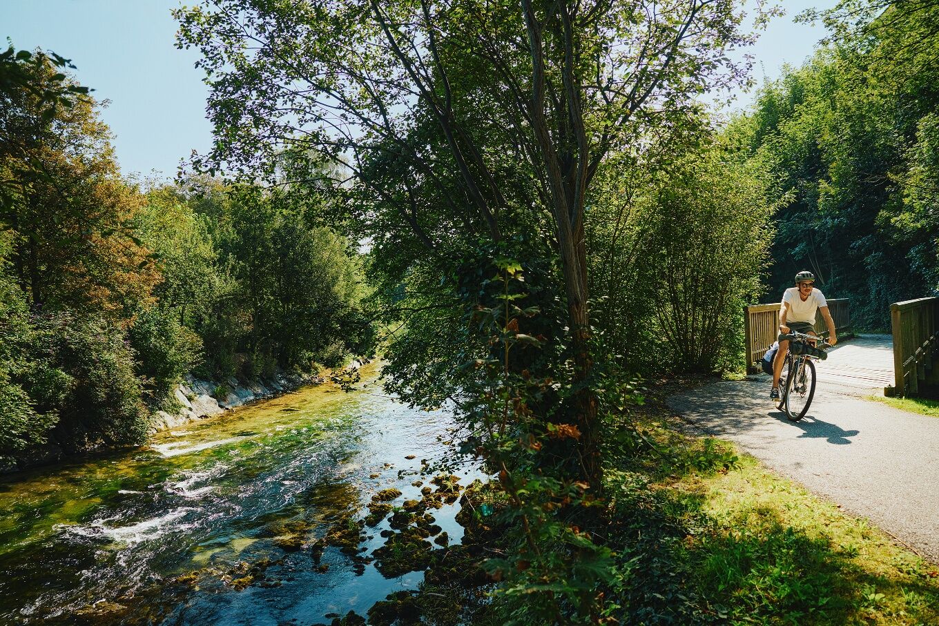
Upon reaching the village, you cross the Schwarza then go parallel along it towards Neunkirchen. The route goes through the town centre via Hauptplatz.
Caution: Please follow the signs through Neunkirchen!
After Hauptplatz, the route carries on through the town park and via Petersberg to Ternitz. From this point, the route carries on along the Schwarzadamm. After crossing in Dunkelstein and Blindendorf, it’s necessary to change sides at Wimpassing over a bridge with considerable traffic. 2 further crossings of this type are made before reaching Buchbach and then Enzenreith (Siedlau crossing). Leave the Schwarzadamm here and continue through quiet alleys to Wiedner GmbH, where you follow the road for around 100 m. Turn left after this point and then turn right before the bridge. Cycle past Gloggnitz sewage works and continue to the railway station.
Turn right at the station and go through the underpass. After the last apartment building, turn left into Silbersbergstraße and follow it to Schlöglmühl. From here, the route continues along Wiener Straße to Payerbach (Caution: typical rural road).
When in Payerbach, a cycling and hiking route (route for water pipelines) goes as far as Bahnhofstraße, where you turn left and travel through a crossroads with traffic lights. Travel over the Schwarza bridge and stay on the right-hand side of the road.
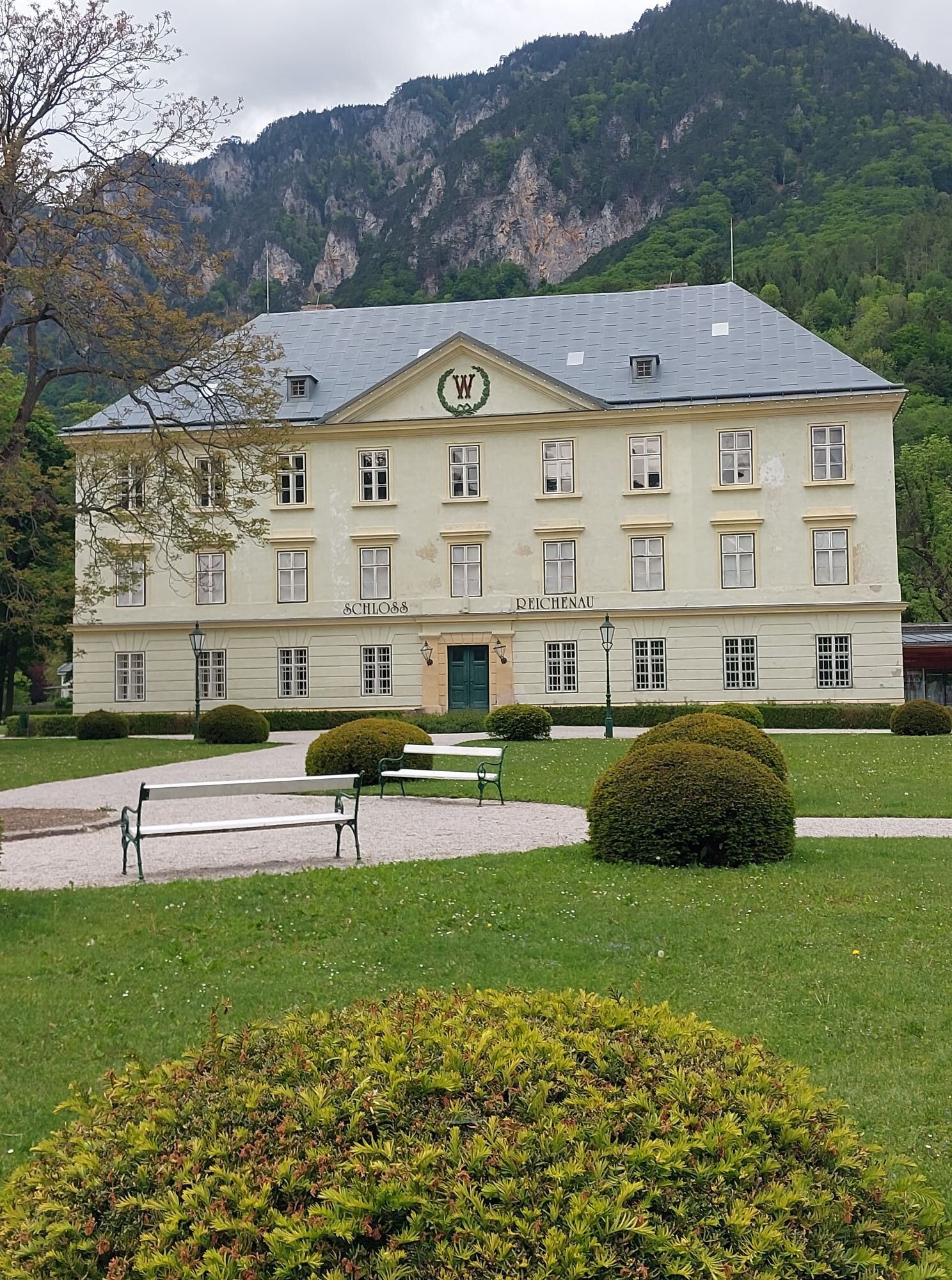
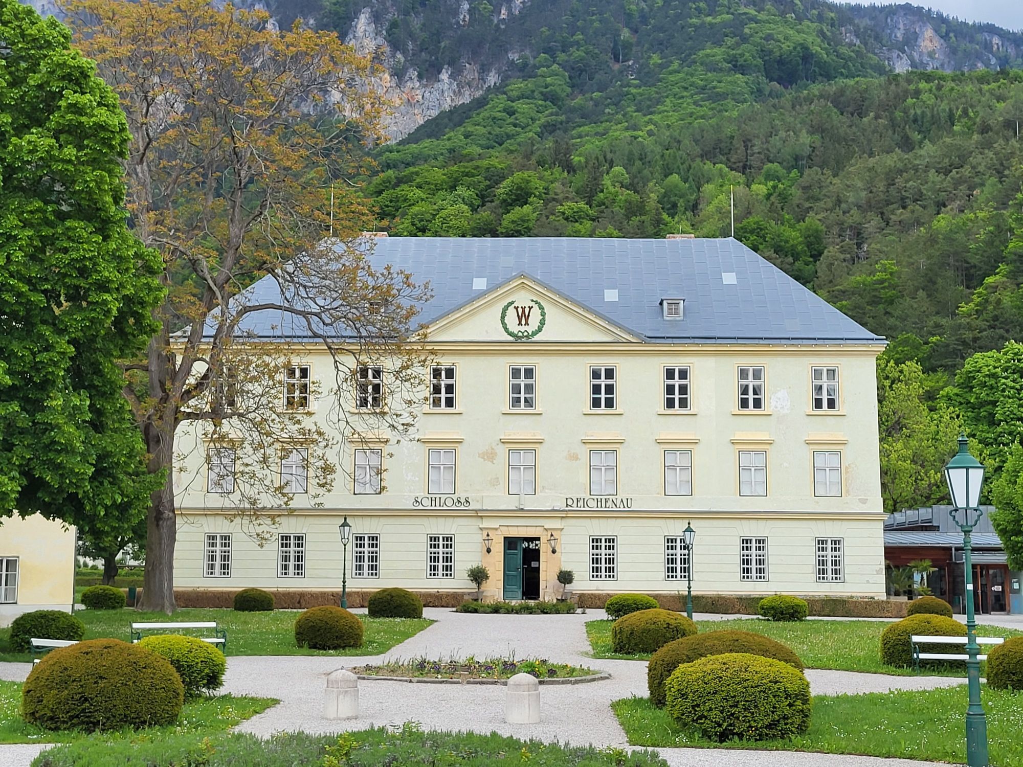
Go past the open-air swimming pool and the mini golf course, and follow the Schwarza to Reichenau, where you cross over the road and go against the flow of traffic for around 30 metres. From here, simply follow the road to Reichenau Castle. You’ve reached the final destination on the Schwarzatal Radroute.
OPTION: Höllentalbahn rail depot
From Reichenau Castle you can follow a stunning cycling route to the Höllentalbahn rail depot. Turn left at the castle and then right after the castle. The route runs parallel to the Höllentalbahn (which will be crossed a few times) and down to the Schwarza where the depot is located.
Travel from Vienna on the A2 to the Wiener Neustadt-Süd exit. Follow the B54 then turn left onto the L142 as far as Bar Erlach, then take the 2nd exit at the roundabout and carry on to Lanzenkirchen over the railway line.
Travel from Graz on the A2 as far as the Seebenstein exit. Turn left and follow the B54, then turn right onto Erlacher Straße (L4029). Continue along Föhrenau-Hauptstraße. Take the second exit on the roundabout and follow this road to Lanzenkirchen.
Train connection from Vienna and Graz via Wiener Neustadt to Payerbach/ Reichenau or to Lanzenkirchen.
More information at www.oebb.at
Car parking is available in Lanzenkirchen.
Further information:
Viennese Alps in Lower Austria, www.wieneralpen.at, Tel.: +43 2622 78960
You can obtain free information regarding your cycling tour. These route guides provide an overview of the course as well as information regarding rest points and attractions. Please note that this is not a proper cycle map.
What makes the Schwarzatal Bike Route so special:
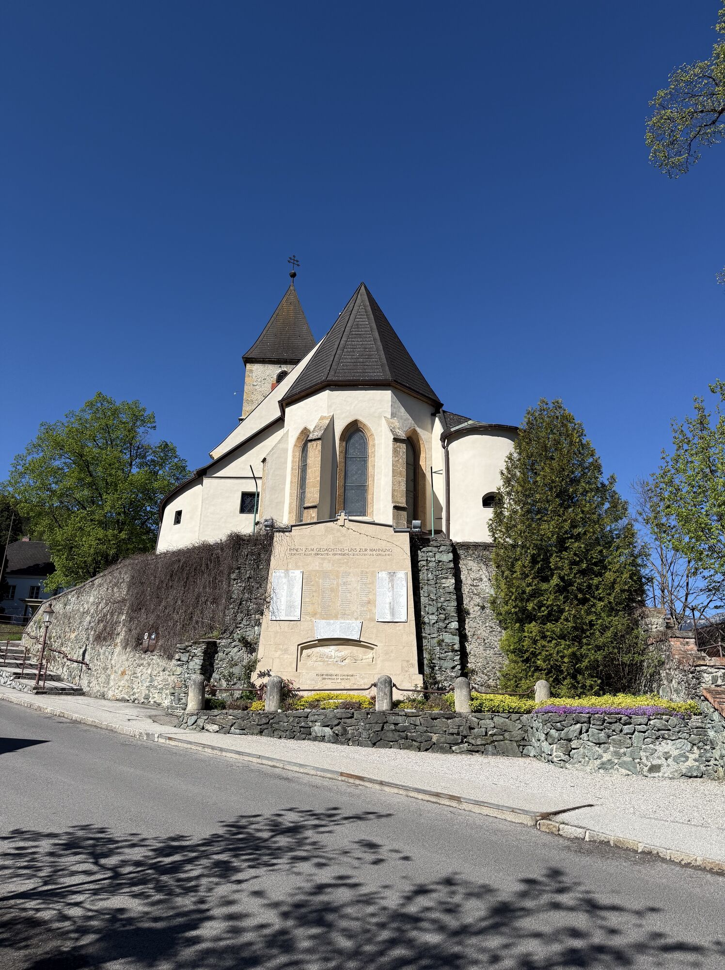
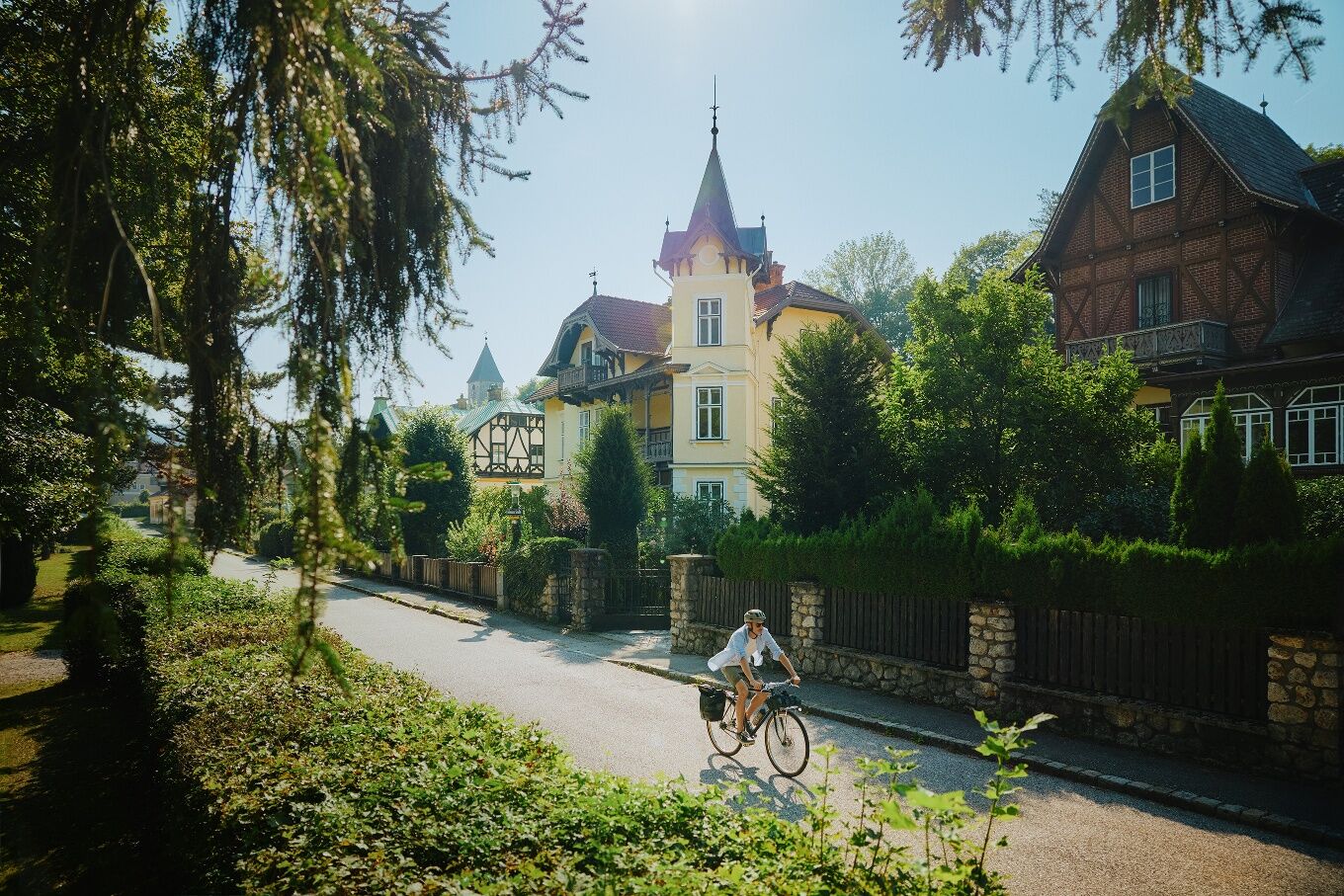
Relaxation is right around the corner: take a short break right on the banks of the Schwarza River or at one of Lower Austria’s cycling partners, such as the Payerbacherhof or the Parkhotel Hirschwang.Every stop is worth it: How about a detour to Neunkirchen’s historic old town, a visit to the Dr. Karl Renner Museum in Gloggnitz, or a coffee in Reichenau? Here you ’ll find all the places to stop and sights along the route.The architecture is magnificent: especially the Schwarzatal Viaduct of the Semmering Railway and the summer retreat villas in Payerbach and Reichenau.Proximity to other top tours: Near Gloggnitz, you can switch to the World Heritage Bike Route; from Schlöglmühl, the “Genuss” e-bike tour loops through Prigglitz; and in Lanzenkirchen, EuroVelo 9 passes by. Or you can take a mountainous route, for example via the Raxblick trail.It’s easy to get there by public transit: The train ride from Vienna to the tour’s starting point in Lanzenkirchen takes just 45 minutes, and the nearest train station for the return trip is never far away thanks to the proximity to the Südbahn line.
Popularne wycieczki w okolicy
-
4,8
Cultural walk Payerbach-Reichenau
światłoWędrówka 7,43 km -
4,9
Flatzer Wand Wanderung
światłoWędrówka 5,62 km -
4,8
ÖTK Klettersteig (vormals HTL Klettersteig) und Blutspur (D/E)
ciężkiVia ferrata 1,41 km -
4,8
Gelände vom Grünbacher Sattel
średniWędrówka 7,52 km -
4,8
Hohe Wand: Babygrat (1+), Rundwanderung und Wagnersteig (A)
ciężkiWędrówka 11,8 km -
4,8
Hohe Wand Wagnersteig - Springlessteig
średniWędrówka 5,59 km -
4,7
Hohe Wand: Grafenbergweg - Große Kanzel - Rastkreuz - Gländ
średniWędrówka 9,03 km -
4,7
Kleine und große Klause - Rundwanderung
światłoWędrówka 7,10 km -
4,6
Prigglitz - Pottschacher Hütte - Rote Wand - Prigglitz
średniWędrówka 8,80 km -
4,6
Grünbach - Eselsteig - Geländ
światłoWędrówka 5,22 km
Wędrówki i tropienie


Nie przegap ofert i inspiracji na następne wakacje
Twój adres e-mail została dodana do listy mailingowej.





