







Waldviertelbahn Cycling Route

The versatile Waldviertelbahn cycle path starts from Groß Gerungs station and, as the name suggests, can be partly covered by the Waldviertelbahn. This means that the route can be shortened flexibly and...
The versatile Waldviertelbahn cycle path starts from Groß Gerungs station and, as the name suggests, can be partly covered by the Waldviertelbahn. This means that the route can be shortened flexibly and according to your needs, while adding a different perspective by train.
However, the varied tour not only leads directly along the railroad line! No, you also pass through mountainous Waldviertel landscapes and smaller towns with a homely flair. Along the way, the historic Weitra Castle with its breathtaking views and museum invites you to make an extended stop. In Gmünd, it is also worth paying a visit to the Burger glass studio or the Gmünd-Eibenstein Blockheide Nature Park. The way back to Groß Gerungs can be covered in comfort on the Waldviertelbahn.
When planning the tour, please note the Waldviertelbahn timetable(timetable 2026).


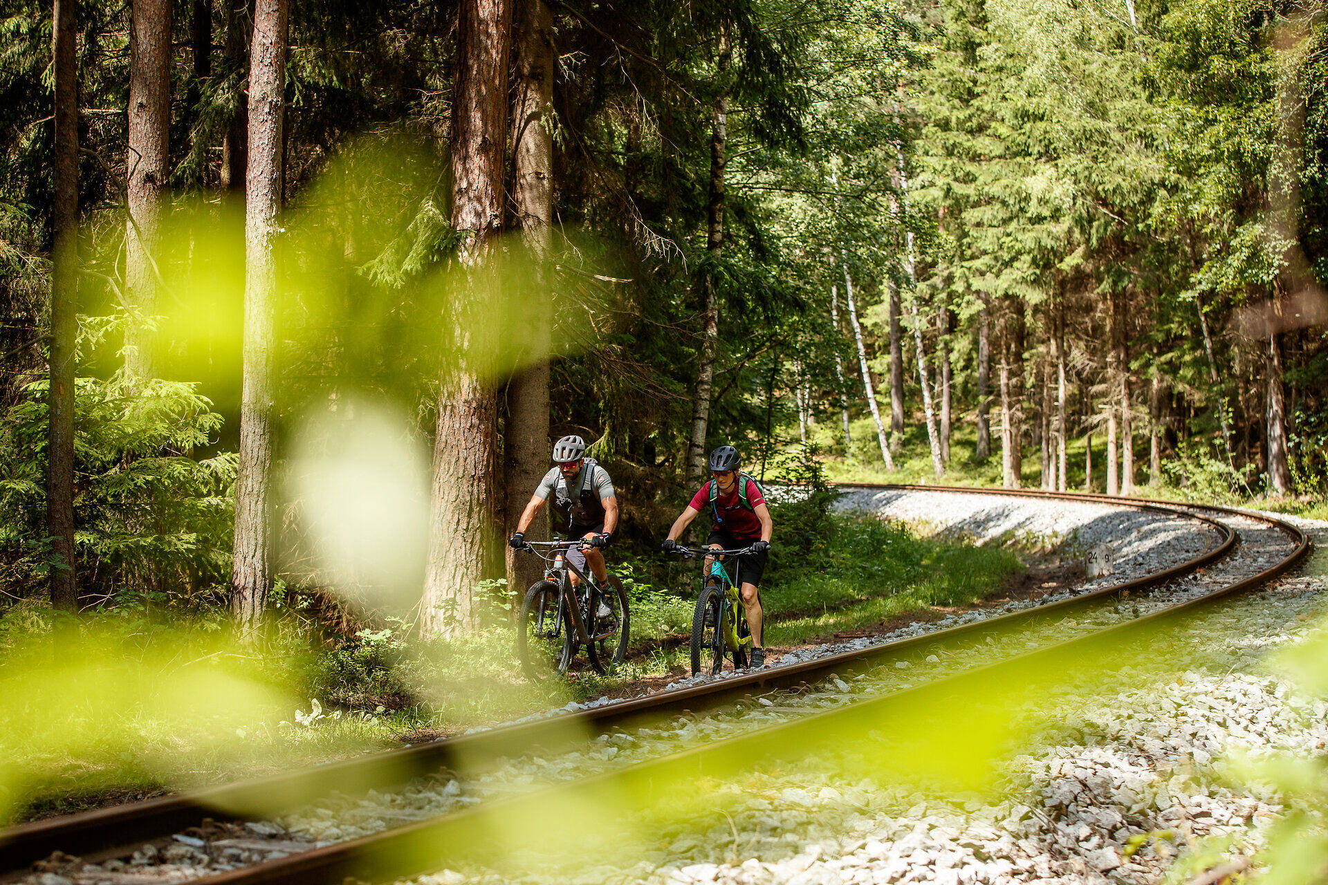
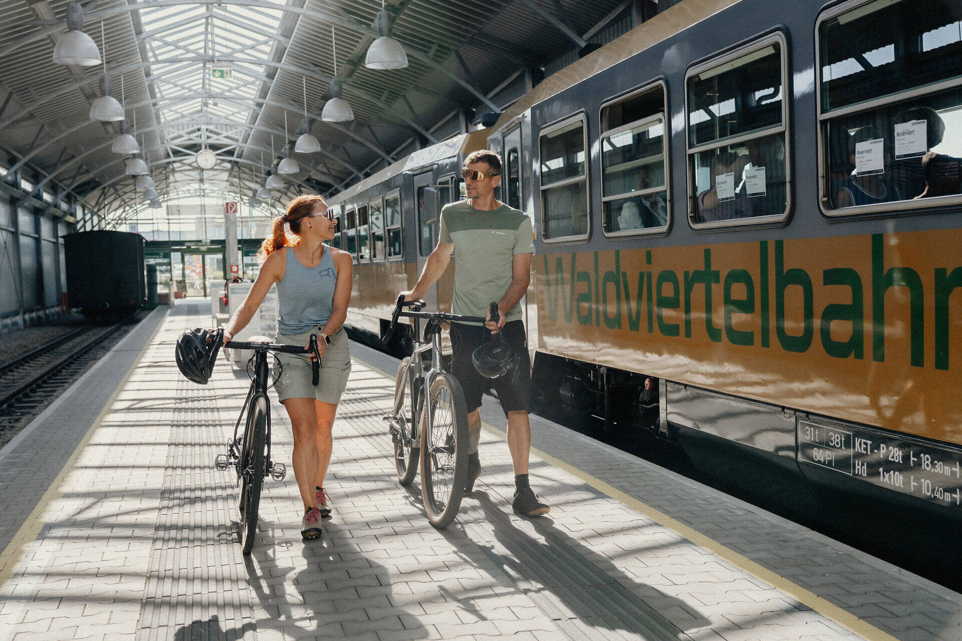
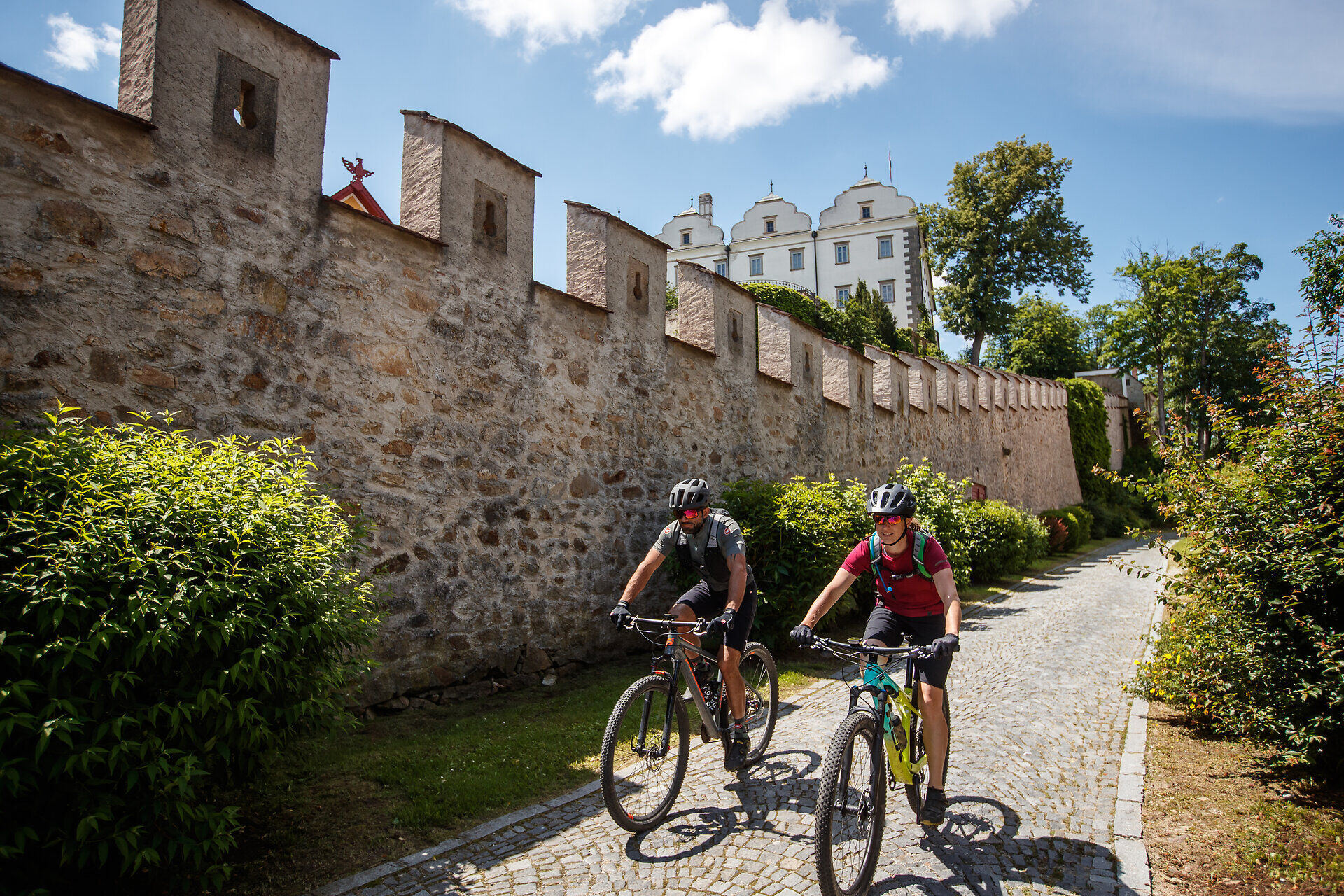

The Waldviertelbahn Cycling Route is a cycling route of a special kind. Unlike most routes, the total distance of about 47 kilometers can be shortened as needed – making it ideal for families and leisure cyclists.
The route starts at Groß Gerungs station. From there, it goes through the town of Thail continuing on to Langschlag, Bruderndorf, Nonndorf, and Abschlag. At this point, the cycling tour can be ended for the first time, and from now on there is the option to do so at every following station. The remaining distance can be comfortably covered by train if needed. Those who continue cycling go through Mühlbach and Steinbach to St. Martin. Then it continues to Weitra and Unserfrau-Altweitra until the last possible stop in Gmünd. From there, the Waldviertelbahn returns to the starting point of the route at Groß Gerungs – nostalgic and cozy ambiance included.
Waldviertel Tourism
3910 Zwettl, Sparkassenplatz 1/2/2
(T) +43 2822 54109
(E) info@waldviertel.at
(I) www.waldviertel.at

Kamery internetowe z trasy


Popularne wycieczki w okolicy
-
4,5
Mandelstein von Moorbad aus
światłoWędrówka 9,47 km -
4,8
Nebelsteinweg
Wędrówka 6,98 km -
4,9
Mandlstein Heinrichs bei Weitra Erlebnisweg
światłoWędrówka 13,1 km -
3,6
Zwei-Tausender-Tour Tischberg-Eichelberg
światłoWędrówka 12,4 km -
4,5
Nebelstein vom Moorheilbad
średniWędrówka 12,9 km -
4,8
4-Berge Marsch Mandelstein - Nebelstein - Wachberg - Johannesberg
Wędrówka 30,8 km -
4,0
Nordwaldstrecke
Mountainbike 25,1 km -
5,0
Liebenau Nr. 31 Kampursprung
światłoWędrówka 10,3 km -
4,0
Moorbad Harbach-Runde über Rotes Kreuz
światłoWędrówka 8,55 km -
4,4
Ohyo und Hubertus
średniWędrówka 13,2 km
Wędrówki i tropienie


Nie przegap ofert i inspiracji na następne wakacje
Twój adres e-mail została dodana do listy mailingowej.





