


Reblaus Express bike path
Zdjęcia naszych użytkowników
-

 © fschwarzenbergerUtworzono dnia 20.06.2025
 -
 © Siegfried AltrichterUtworzono dnia 01.04.2024
 -
 © Siegfried AltrichterUtworzono dnia 01.04.2024
 -
 © Siegfried AltrichterUtworzono dnia 01.04.2024
 -
 © Helmut NeuholdUtworzono dnia 03.09.2025
 -

 © Barbara DolivierUtworzono dnia 13.07.2025
 -
 © GeraldUtworzono dnia 02.11.2024


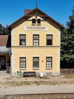
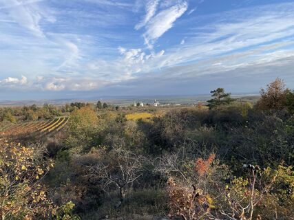
The cycle ride along the Reblaus Express railroad line begins in the walled town of Drosendorf. You come across small villages - picturesquely nestled in the beautiful countryside, lush vineyards and fields....
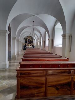
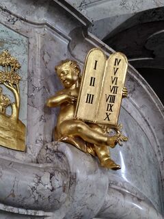
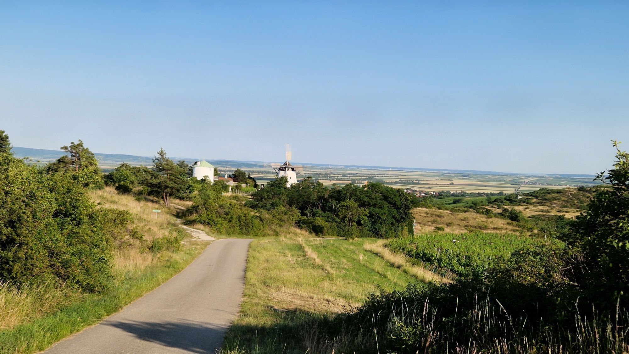
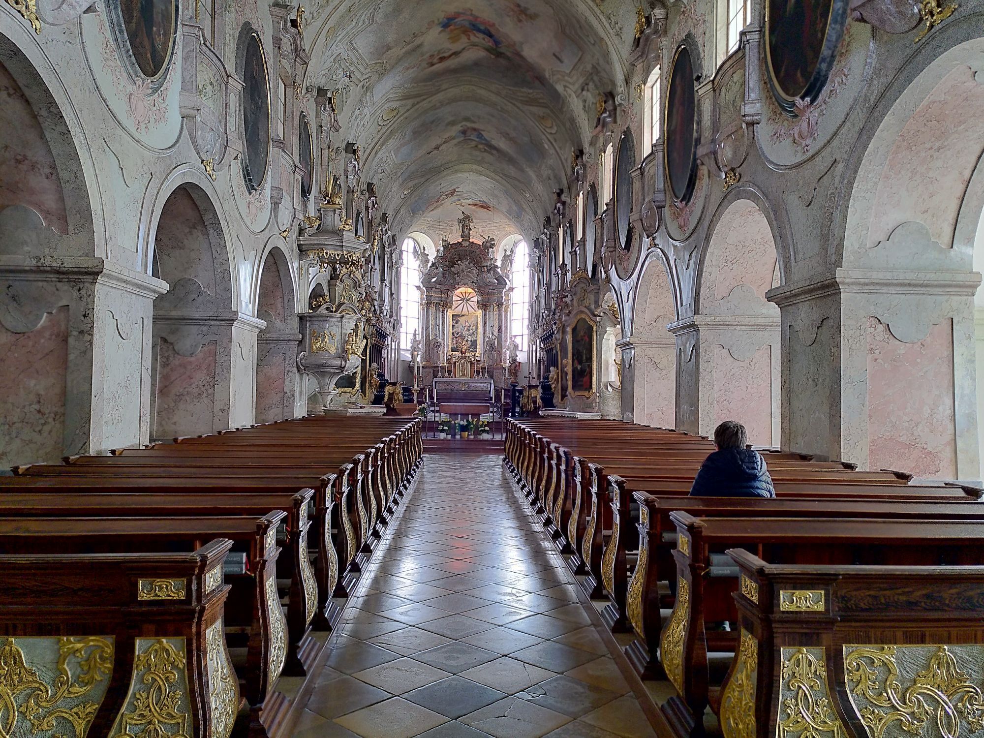
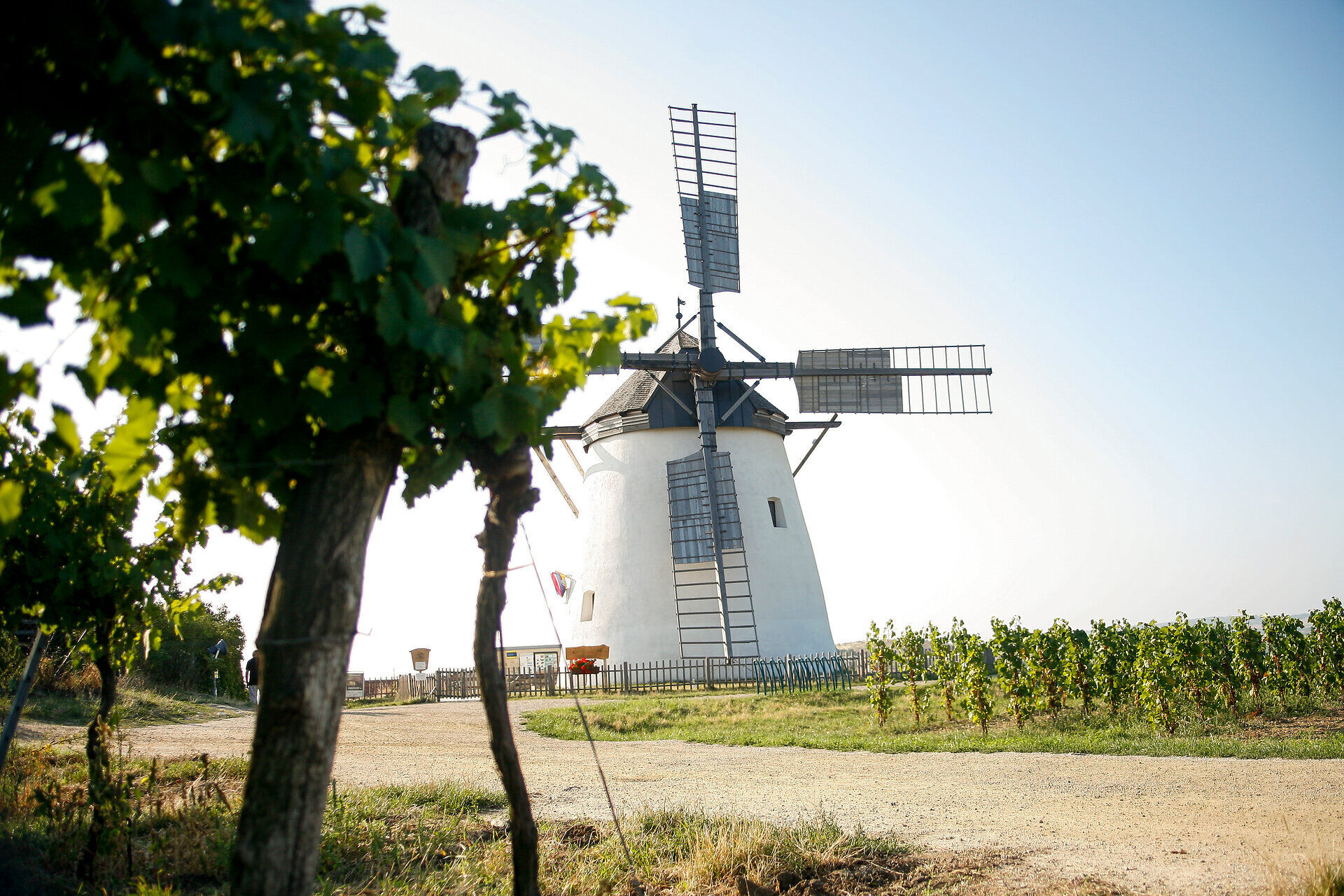
The cycle ride along the Reblaus Express railroad line begins in the walled town of Drosendorf. You come across small villages - picturesquely nestled in the beautiful countryside, lush vineyards and fields. The village of Langau is soon in sight. A short detour in the direction of the Czech village of Schaffa leads to the mining lakes. As part of the Langau leisure park, numerous leisure activities such as hiking, swimming and water skiing are on offer here. The cycle path then runs alongside the railroad to Hessendorf and through the romantic Fugnitz Valley to the villages of Fronsburg, Weitersfeld, Pleißing and Hofern. With only 68 inhabitants, Hofern is the smallest village in the municipality of Retz. After refreshments at an idyllic wine tavern, the route continues mostly downhill - past the famous Retz windmill - to the center of the wine town of Retz.

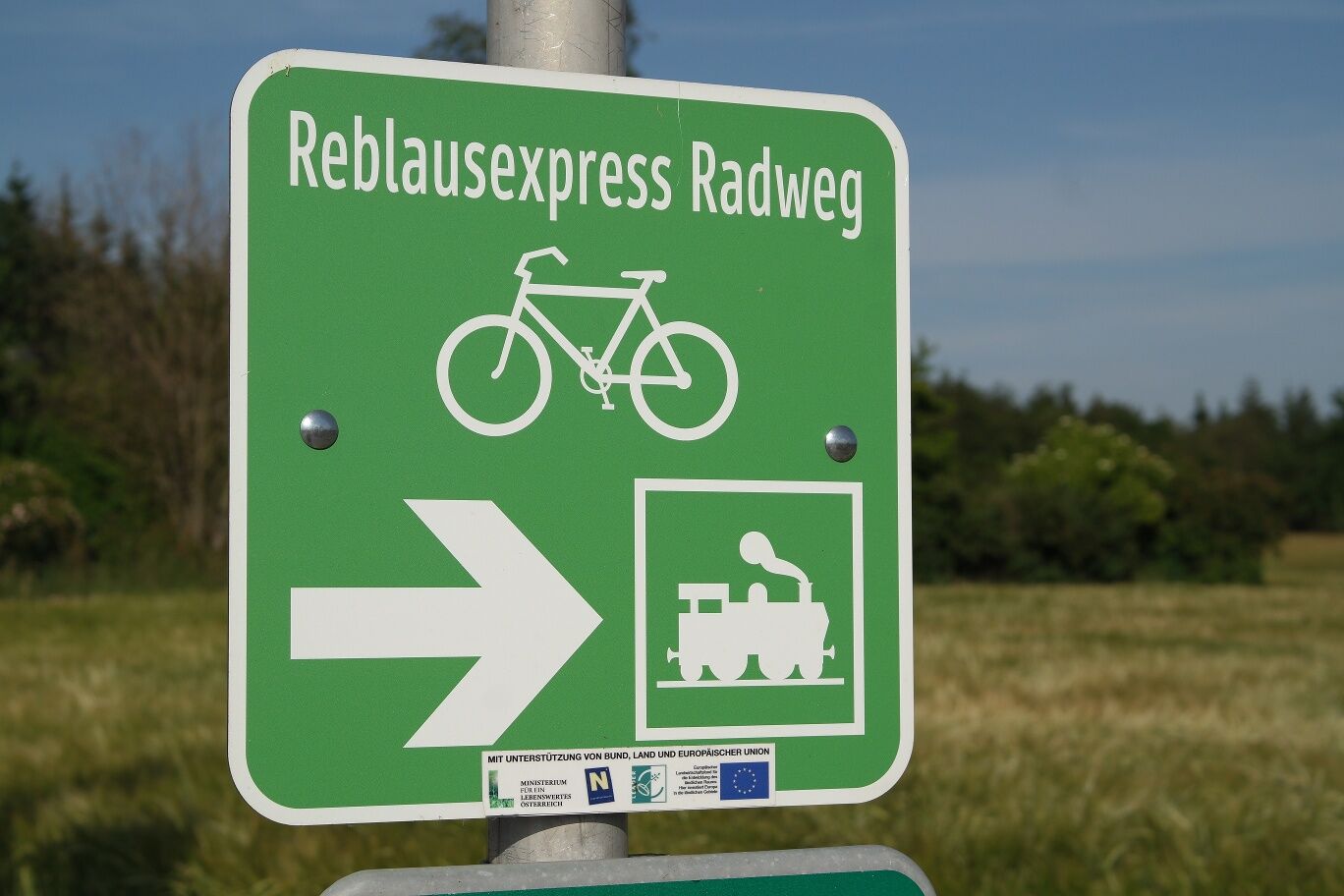
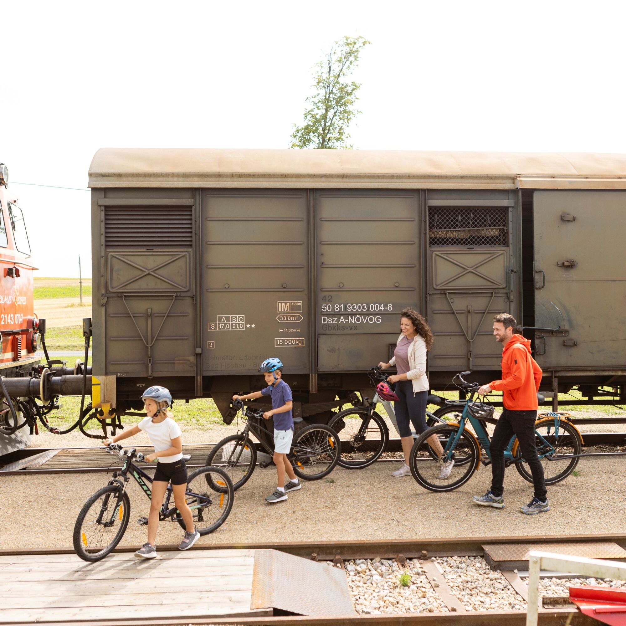
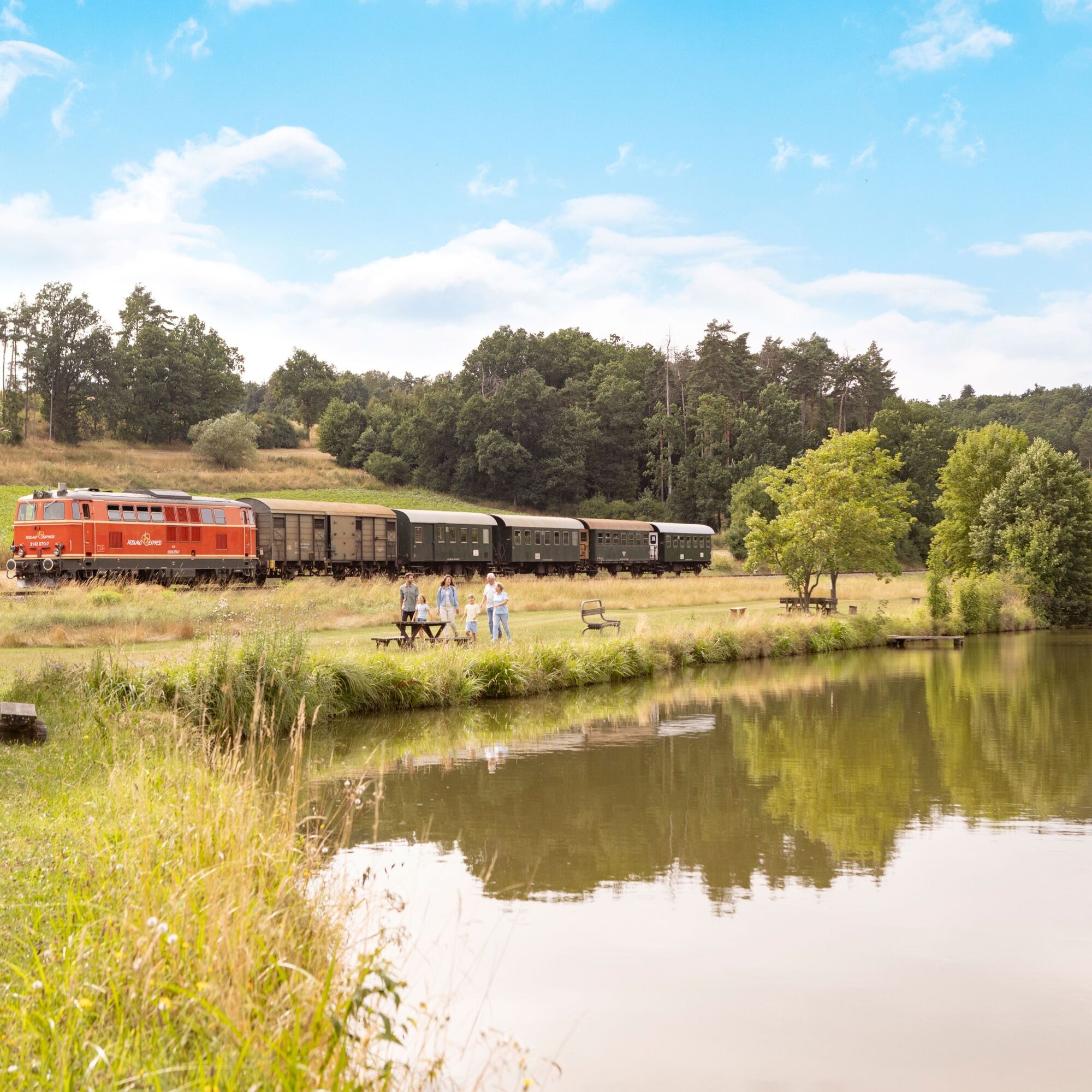
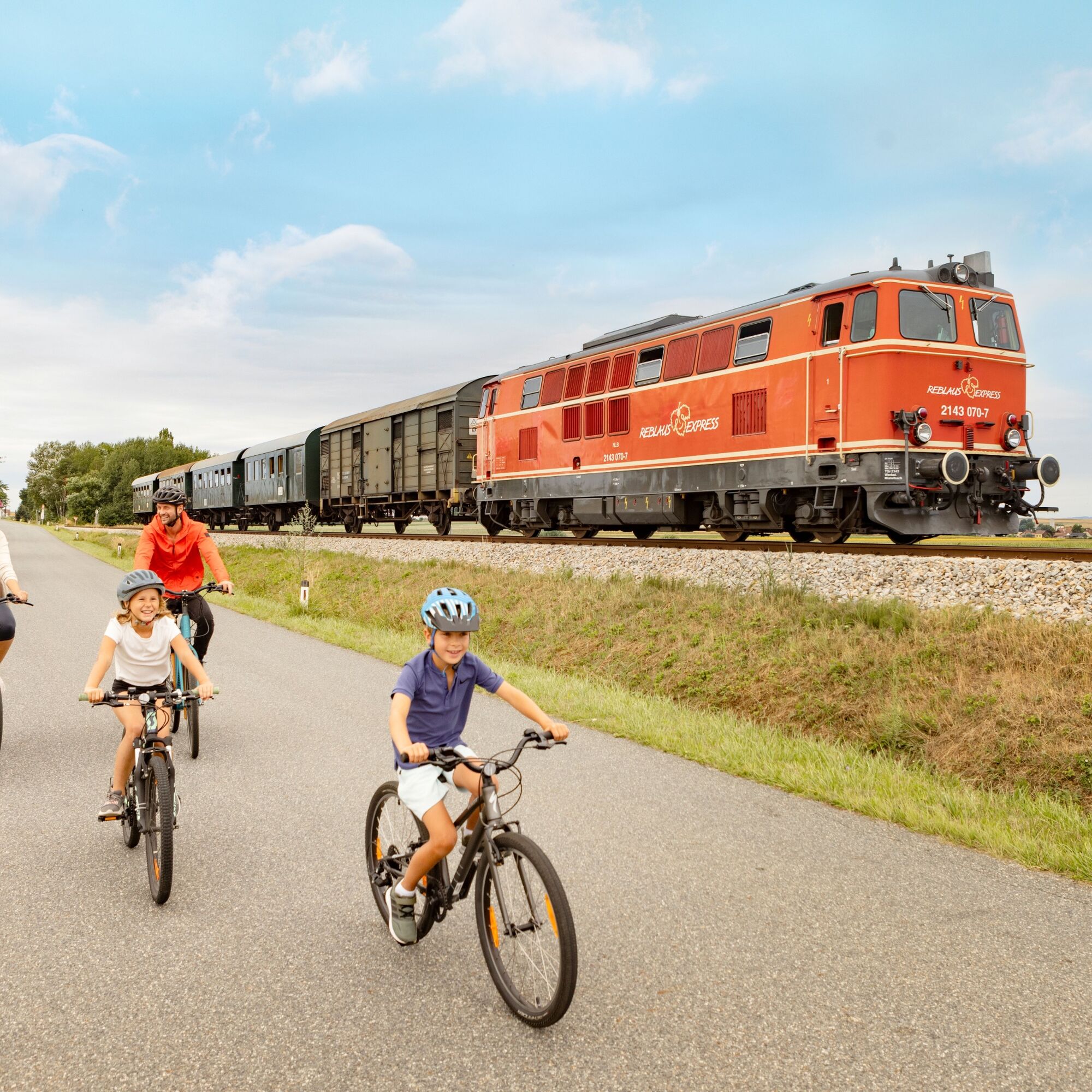
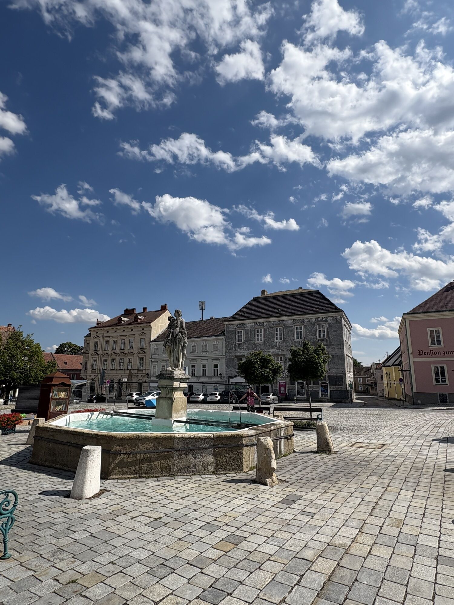
The bike path connects the towns of Drosendorf in the Waldviertel and Retz in the Weinviertel over a distance of 51 bike kilometers. Drosendorf is surrounded by city walls, which together with old townhouses and viaducts create a medieval atmosphere. The start of the route is the nostalgic station building at Drosendorf station. The bike path repeatedly follows the railway tracks of the Reblaus Express into the Thaya valley. Along the entire route, Buschenschank and wine taverns invite you to a cozy stop. In Fronsburg and Weitersfeld, you pass many historic buildings, impressive churches, and stately castles. From Hofern, the path mostly runs downhill to Retz. In the wine town of Retz, the bike tour ends properly with a well-deserved glass of wine or grape juice.
We recommend: helmet, appropriate clothing and footwear, rain and sun protection, first aid kit (blister plasters), sufficient provisions (snacks, muesli bars, fruit, water).
Make sure the chosen route suits your fitness level. Check whether the hospitality venues you want to visit along the way are open. Pack your mobile phone and maps in your backpack.
Vienna - Stockerau - Hollabrunn - Retz - Drosendorf
Linz - Freistadt - Gmünd - Schrems - Göpfritz an der Wild - Raabs an der Thaya - Drosendorf
There is also a train connection from Znojmo to Retz.
Waldviertel Tourism
3910 Zwettl, Sparkassenplatz 1/2/2
(T) 02822/54109
(E) info@waldviertel.at
(I) www.waldviertel.at
Drosendorf: walled town of Drosendorf, Drosendorf Castle, Thayabad
Retz: town hall, town hall tower, Retz Adventure Cellar, Sgraffito House, Verderber House, windmill, wine teaching path, bicycle museum
Popularne wycieczki w okolicy
-
4,4
Rundwanderung Nationalpark THAYATAL
światłoWędrówka 14,0 km -
4,4
Nationalpark Thayatal Radweg Süd und Nord
średniMountainbike 63,2 km -
4,1
»tut gut« Wanderweg Pulkau | Route 2
średniWędrówka 7,29 km -
4,8
Kellergassenrundwanderweg
średniWędrówka 8,69 km -
4,5
Ruine Kaya
średniWędrówka 12,5 km -
Ruine Kaya - Thaya Aussichtspunkt
światłoWędrówka 6,82 km -
5,0
Drosendorf - Gaberbachweg
średniWędrówka 12,6 km -
4,0
Eisleiten
średniWędrówka 12,9 km -
5,0
Hardegger Warte
średniWędrówka 5,60 km -
4,5
Rundwanderweg Hardegg – Vranov
ciężkiWędrówka 22,5 km

Wędrówki i tropienie


Nie przegap ofert i inspiracji na następne wakacje
Twój adres e-mail została dodana do listy mailingowej.