


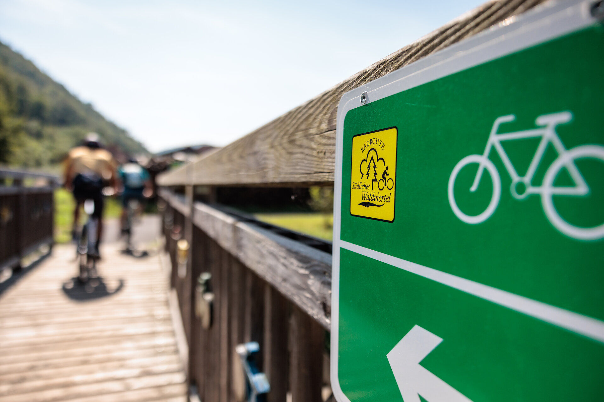
Southern Waldviertel cycling route
The Southern Waldviertel cycle route runs from Ysperdorf in the municipality of Hofamt Priel to Spitz an der Donau. The route starts at the Danube and leads - the name says it all - through the Southern...
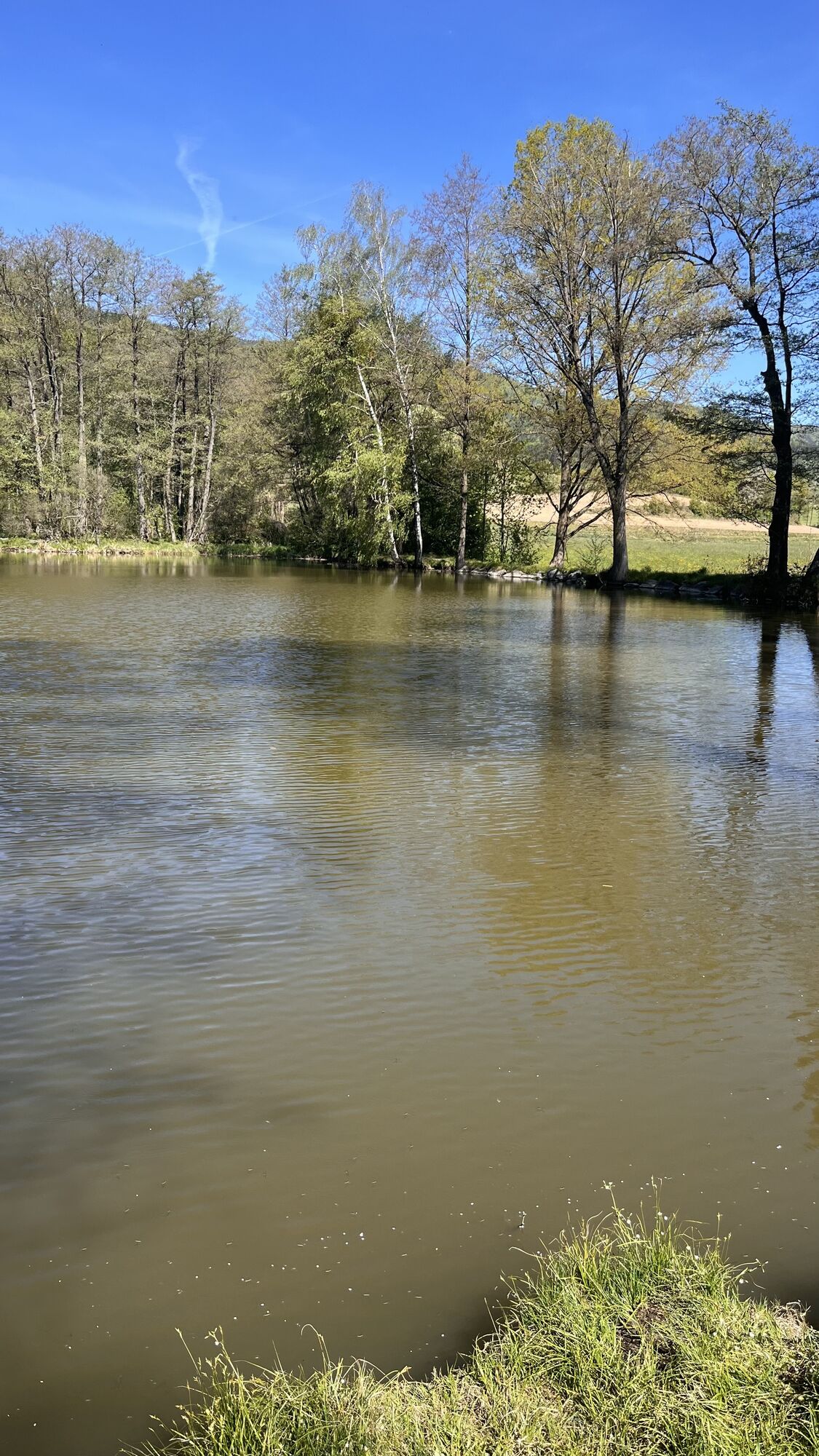
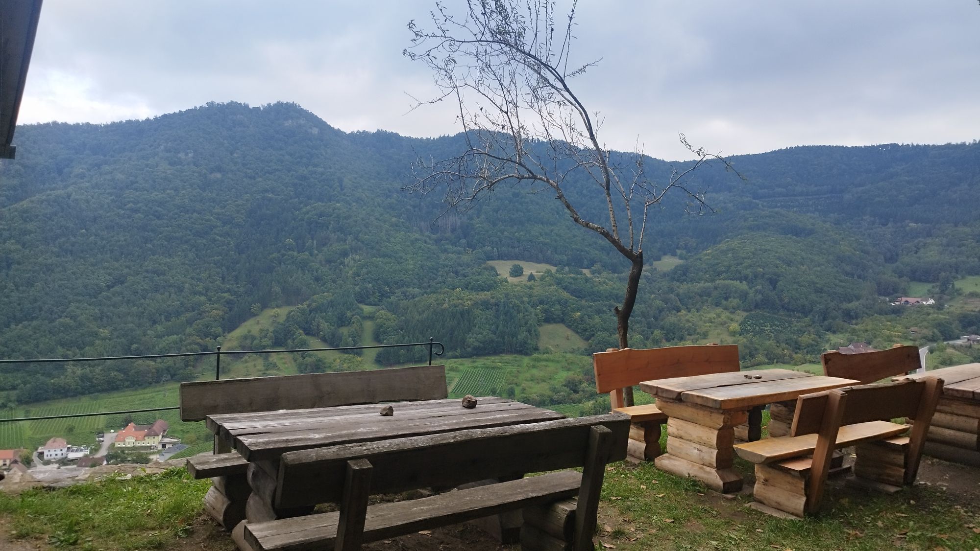
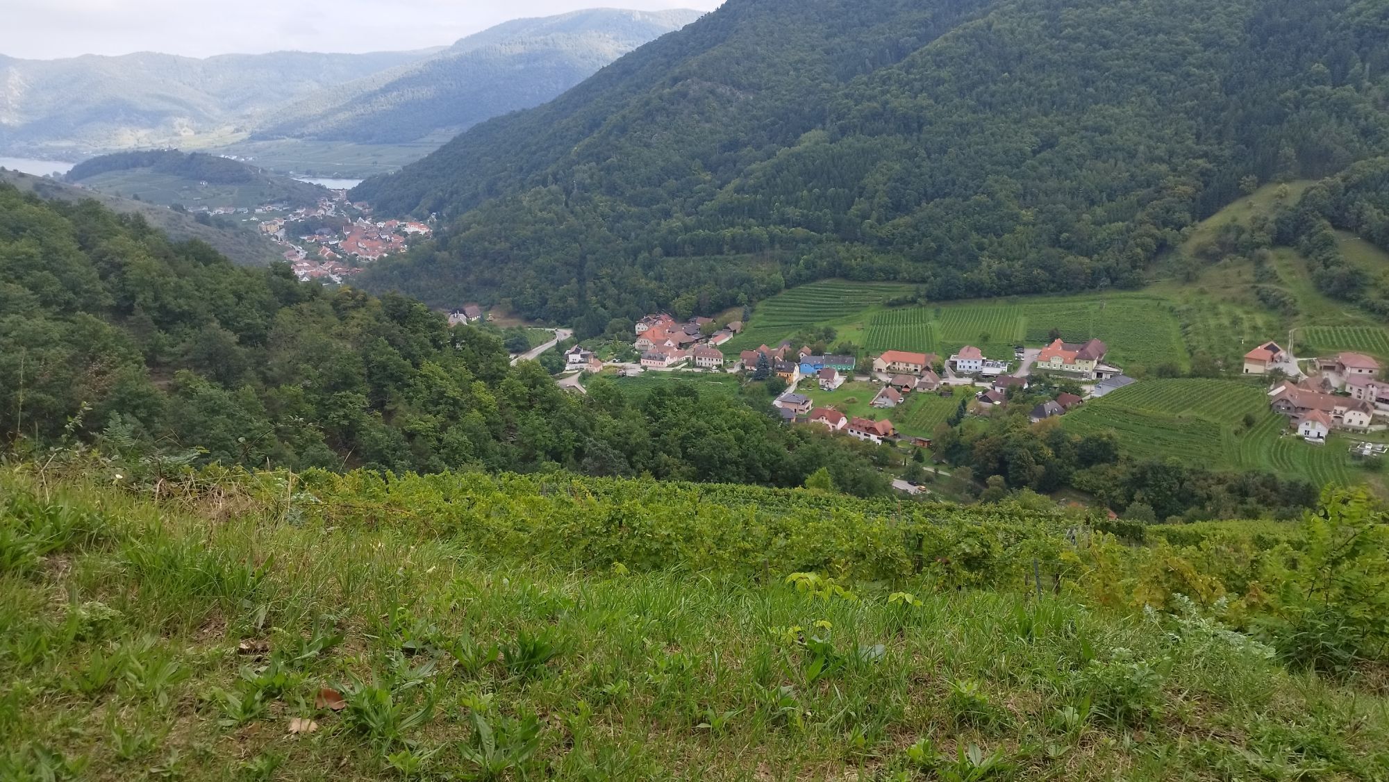
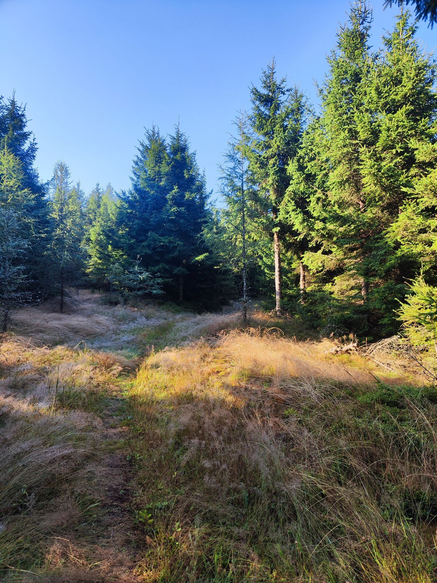
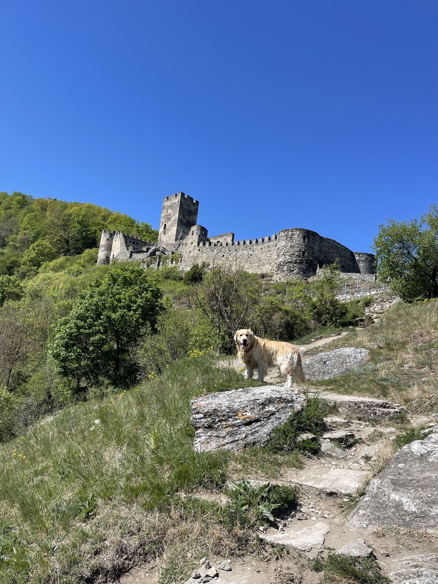
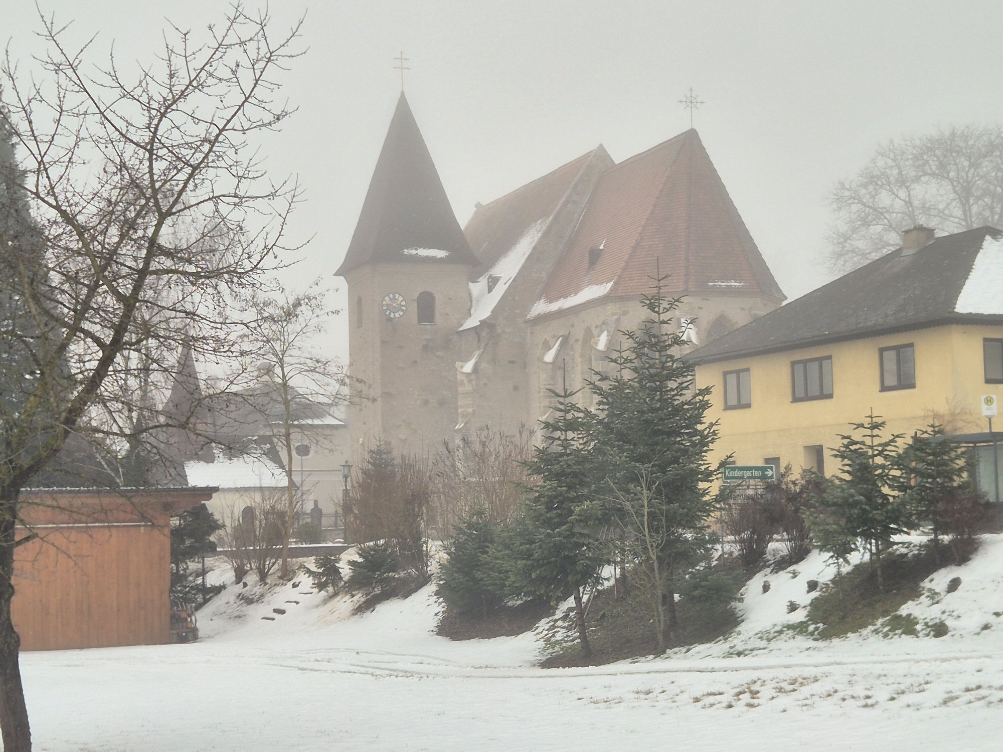
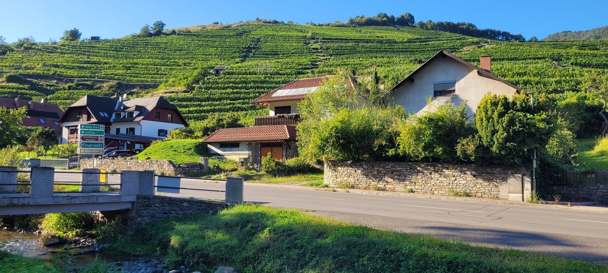
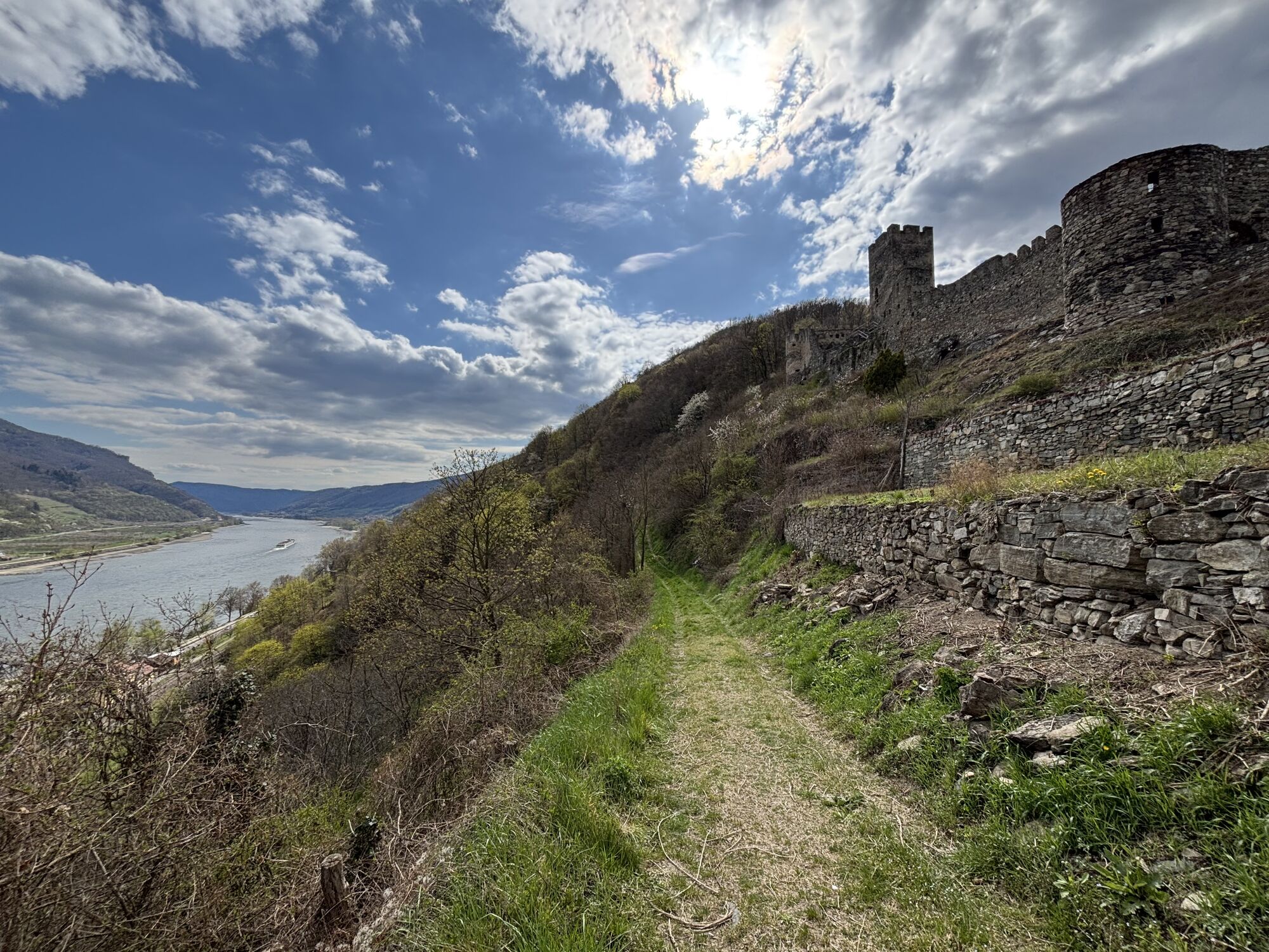
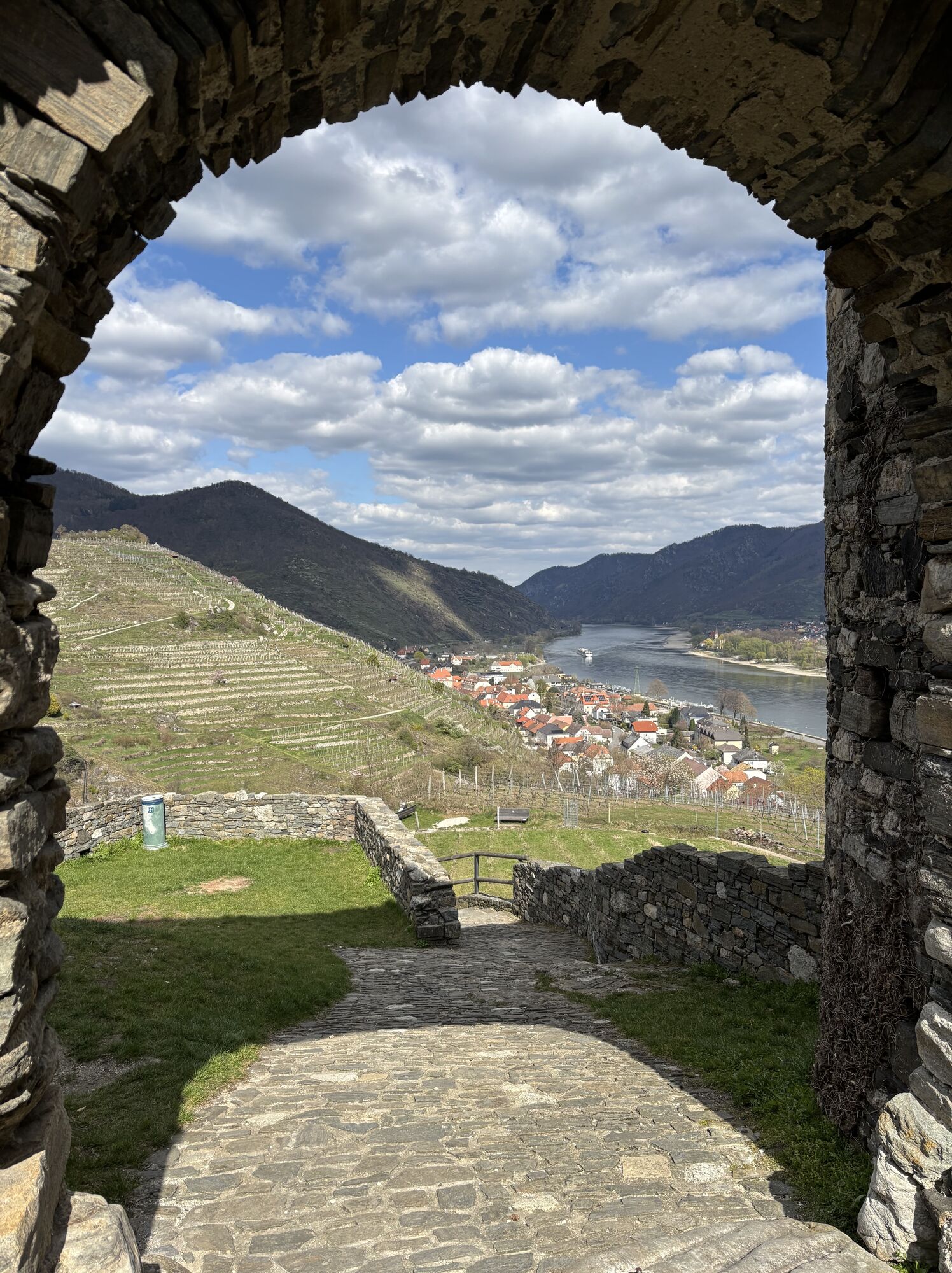
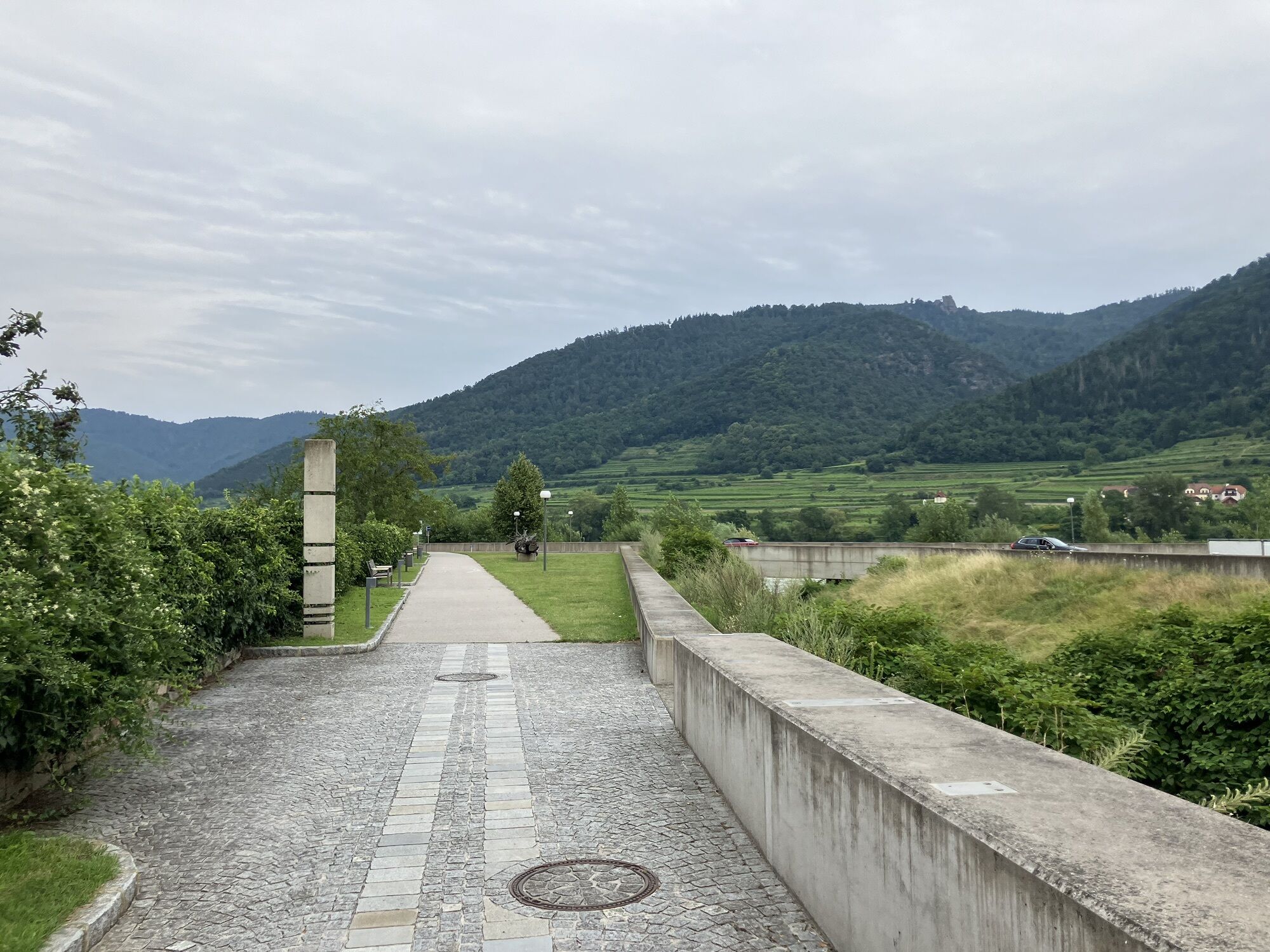
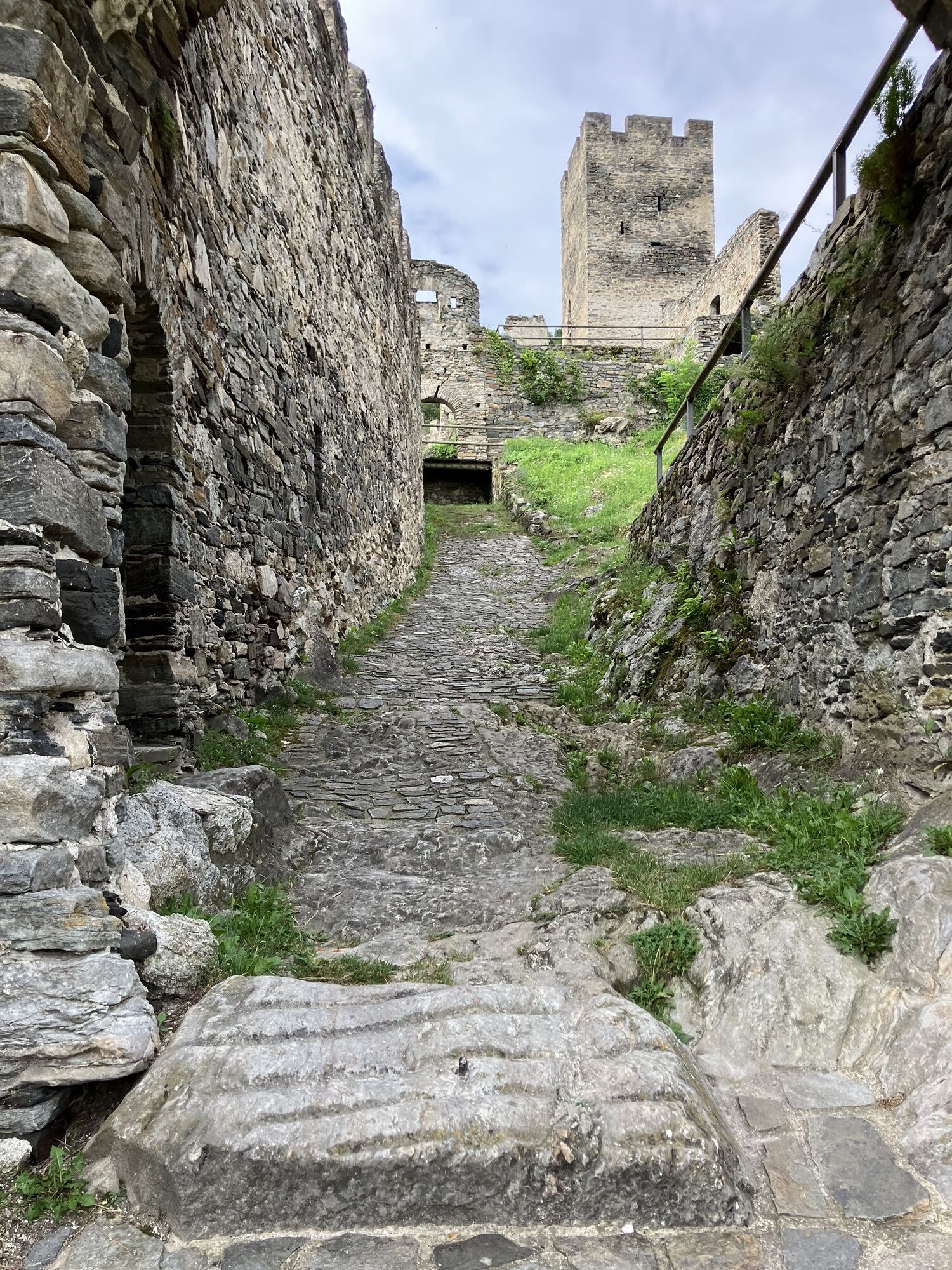
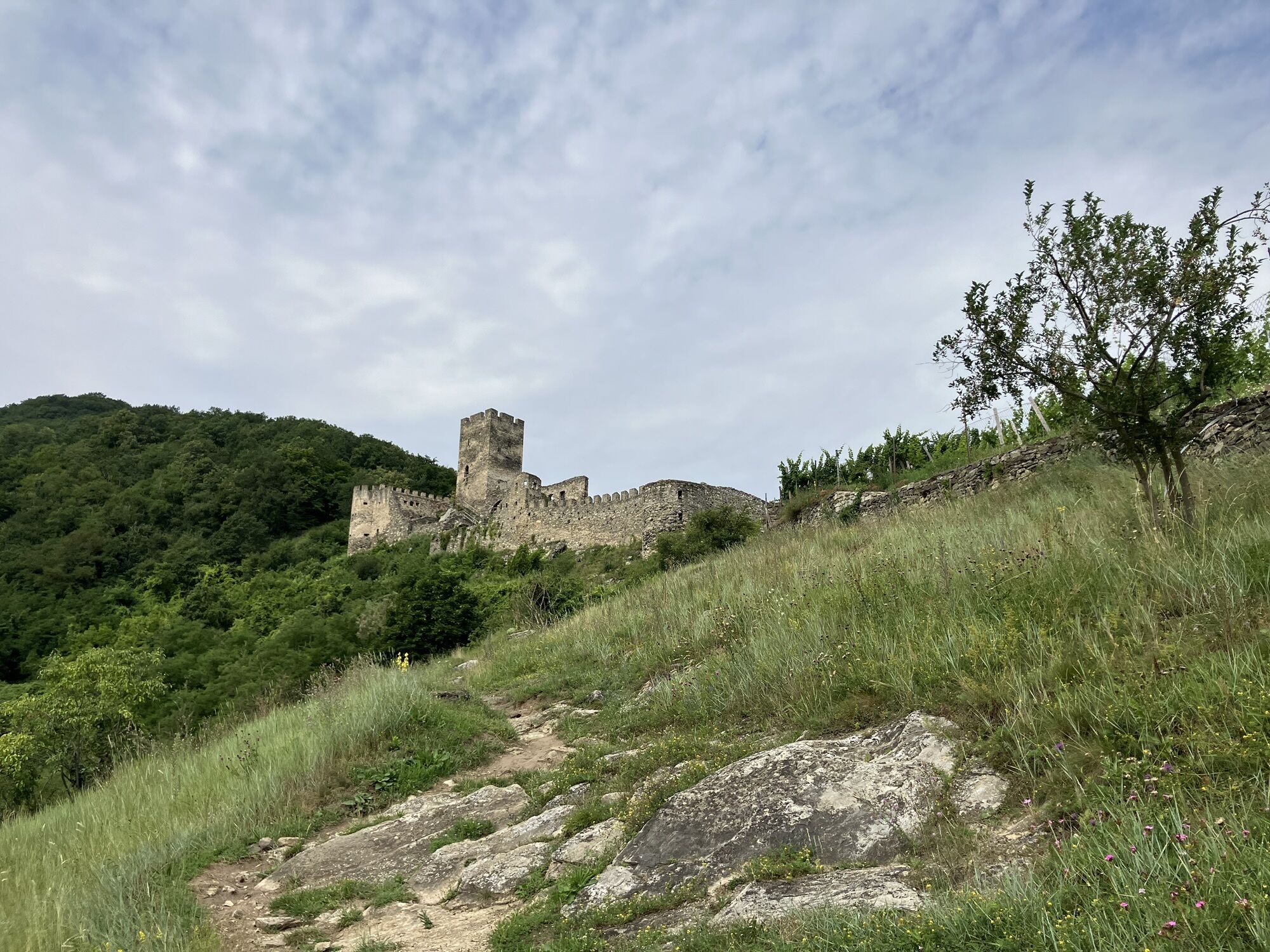
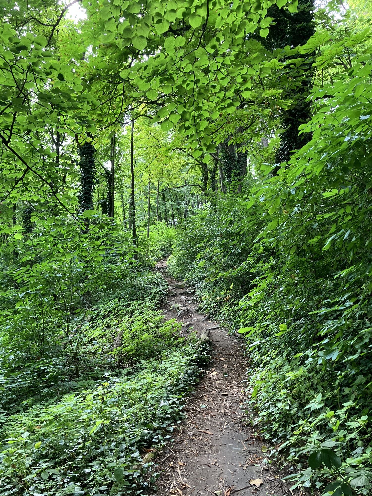
The Southern Waldviertel cycle route runs from Ysperdorf in the municipality of Hofamt Priel to Spitz an der Donau. The route starts at the Danube and leads - the name says it all - through the Southern Waldviertel. A total of ten places and their special features are waiting to be explored. The Ysperklamm gorge is worth a short detour right at the start of the tour. A very special nature experience that leaves a lasting impression thanks to the gorge itself, but also because of the magnificent forests. Refreshed, the ride continues on two wheels with a view of the Ostrong mountain peak. The next stop is in Pöggstall. This tranquil village is home to an Italian Renaissance-style castle that is well worth a visit! After another stop at the Heiligenblut pilgrimage church in Raxendorf, the tour leads back to the Danube via Mühldorf and Spitz.

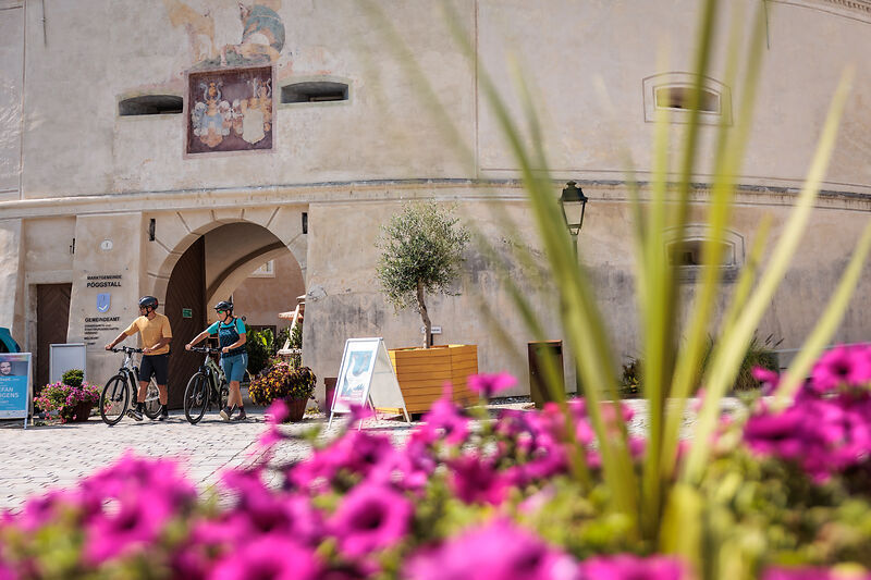
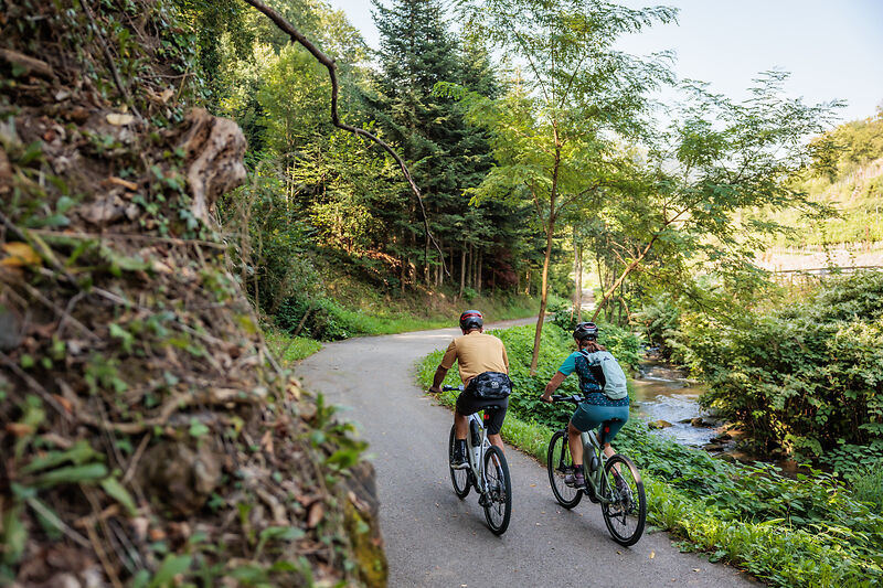
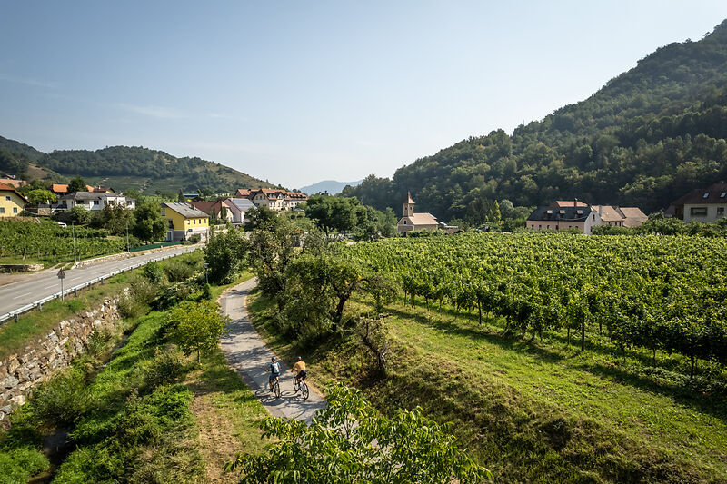
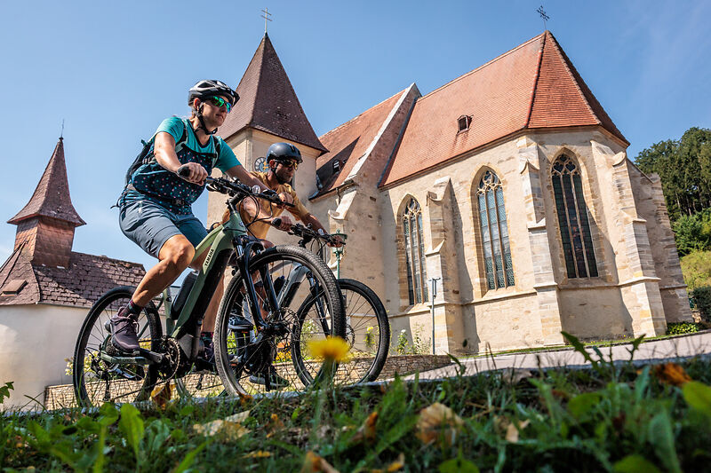
Starting point for the companion route to the Danube cycle path is Ysperdorf in the municipality of Hofamt Priel. On almost 58 cycling kilometers, numerous attractions are waiting to be discovered. After a short ride, the well-known Ysperklamm already invites you to a small but fine detour on foot. On the way, the Great and Little Peilstein show their grandeur. At the town of Pöggstall and especially at the impressive castle, one should definitely stop and admire. The next stop is in Raxendorf, where the well-known Heiligenblut pilgrimage church and the Sassingschlösserl castle ruins are located. After the municipality of Mühldorf, the route ends in Spitz on the Danube – with the terraced vineyards and the inviting square in front of the late Gothic church, the perfect place to end the cycling trip comfortably.
We recommend: helmet, suitable clothing and footwear, rain and sun protection, first aid kit (blister plasters), sufficient supplies (snack, muesli bars, fruit, water).
Make sure when choosing the route that it matches your fitness level. Check whether the catering establishments you want to visit along the way are open. Pack your mobile phone and map material in your backpack.
Tourism Association Ysper-Weitental
3683 Yspertal, Hauptstraße 9
(T) +43 7415 676725
(E) info.yw@waldviertel.at
(I) www.suedlicheswaldviertel.at
Waldviertel Tourism
3910 Zwettl, Sparkassenplatz 1/2/2
(T) +43 282 54109
(E) info@waldviertel.at
(I) www.waldviertel.at
Popularne wycieczki w okolicy
-
3,9
Yspertal: Druidenweg - Ysperklamm
średniWędrówka 9,56 km -
4,5
Durch die Steinwandklamm von Maria Taferl aus
światłoWędrówka 8,26 km -
4,5
Ausgedehnte Peilsteinrunde
średniWędrówka 13,7 km -
4,8
Herzsteinweg Ysper und Burgsteinmauer
średniWędrówka 14,7 km -
4,9
LAIMBACH Ostrong Peilstein 20220716
średniWędrówka 7,70 km -
3,9
Spitz a. d. Donau Jauerling Schwallenbach retour 16.04.2016
średniWędrówka 20 km -
4,5
Welterbesteig Wachau 08: Emmersdorf-Melk
światłodługodystansowy szlak pieszy 9,90 km -
4,8
Ysperklamm
światłoWędrówka 3,92 km -
4,6
Welterbesteig Wachau 06: Maria Laach-Aggsbach Markt (Naturpark Jauerling-Wachau)
światłodługodystansowy szlak pieszy 7,04 km -
4,2
Spitz - Jauerling - Mühldorf
średniWędrówka 12,4 km
Wędrówki i tropienie


Nie przegap ofert i inspiracji na następne wakacje
Twój adres e-mail została dodana do listy mailingowej.