
Nawigacja
Pobierz tę trasę na swój telefon komórkowy
Mapa
Kamp Valley Cycle Path
średni
Jazda na rowerze
118,20 km
Zeskanuj kod QR i rozpocznij nawigację w aplikacji bergfex.
QR Code
Wędrówki i tropienie

Kamp Valley Cycle Path
Odległość
118,20 km
Czas trwania
09:14 h
Ascent
1 192 hm
Poziom morza
184 - 601 m
Ścieżka do pobrania
Mapa
Kamp Valley Cycle Path
średni
Jazda na rowerze
118,20 km

The cycle tour starts in Altenwörth in the Danube valley through the different landscapes of the Kamp Valley ("Kamptal" German). In Langenlois, you enter Austria's largest wine town. And that's not all:...

Opis

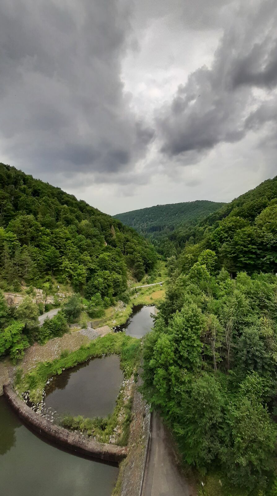
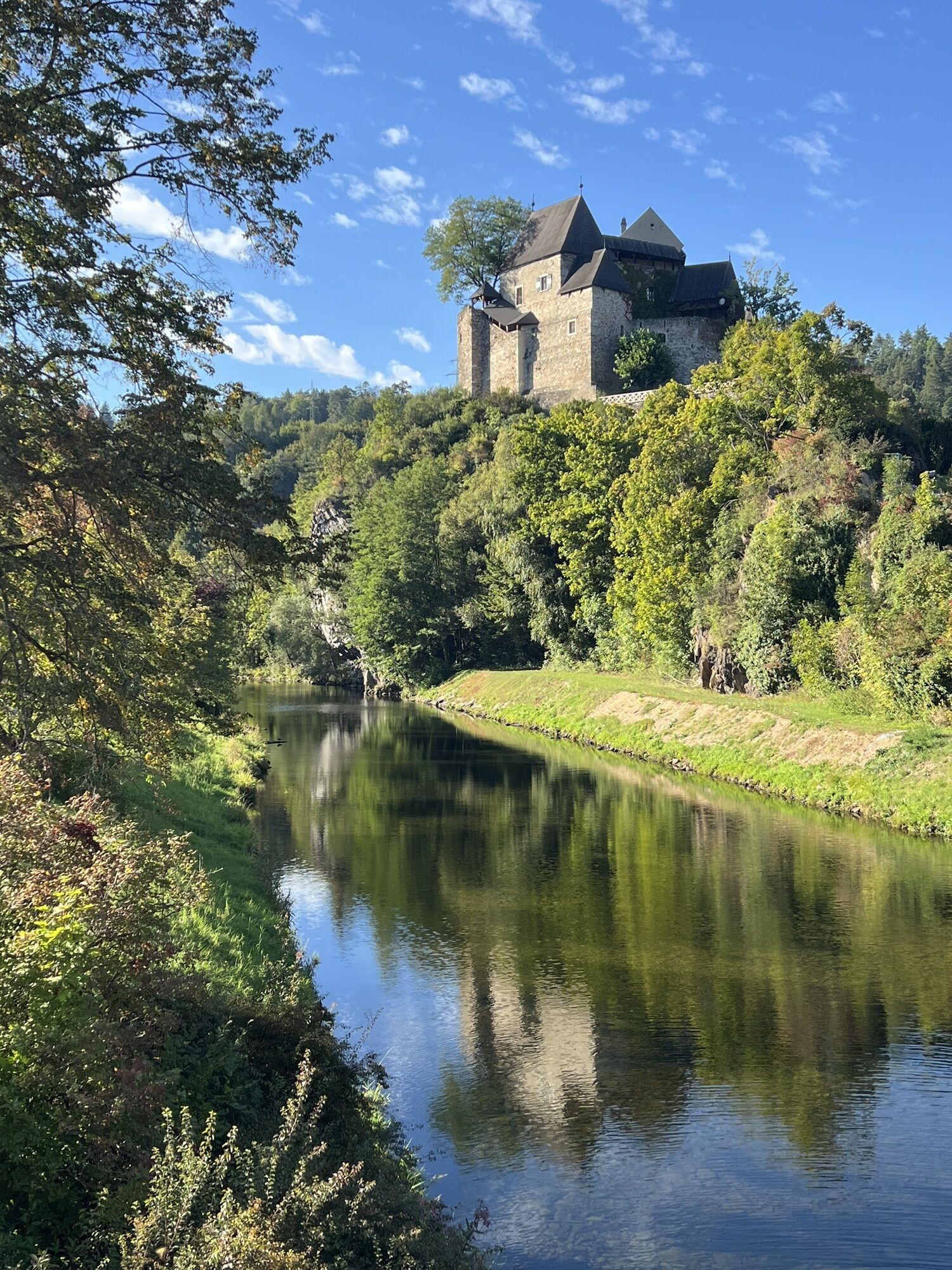
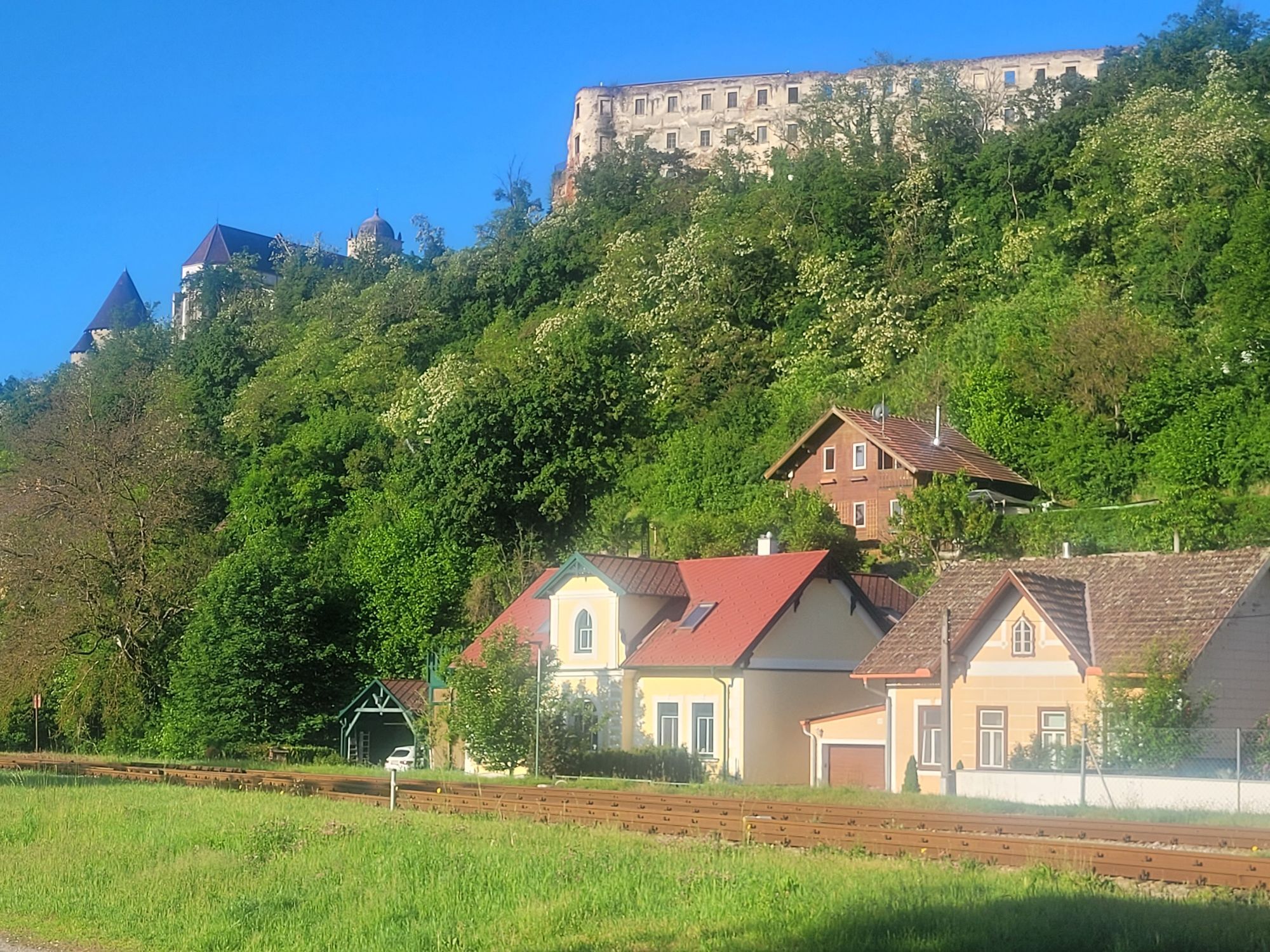
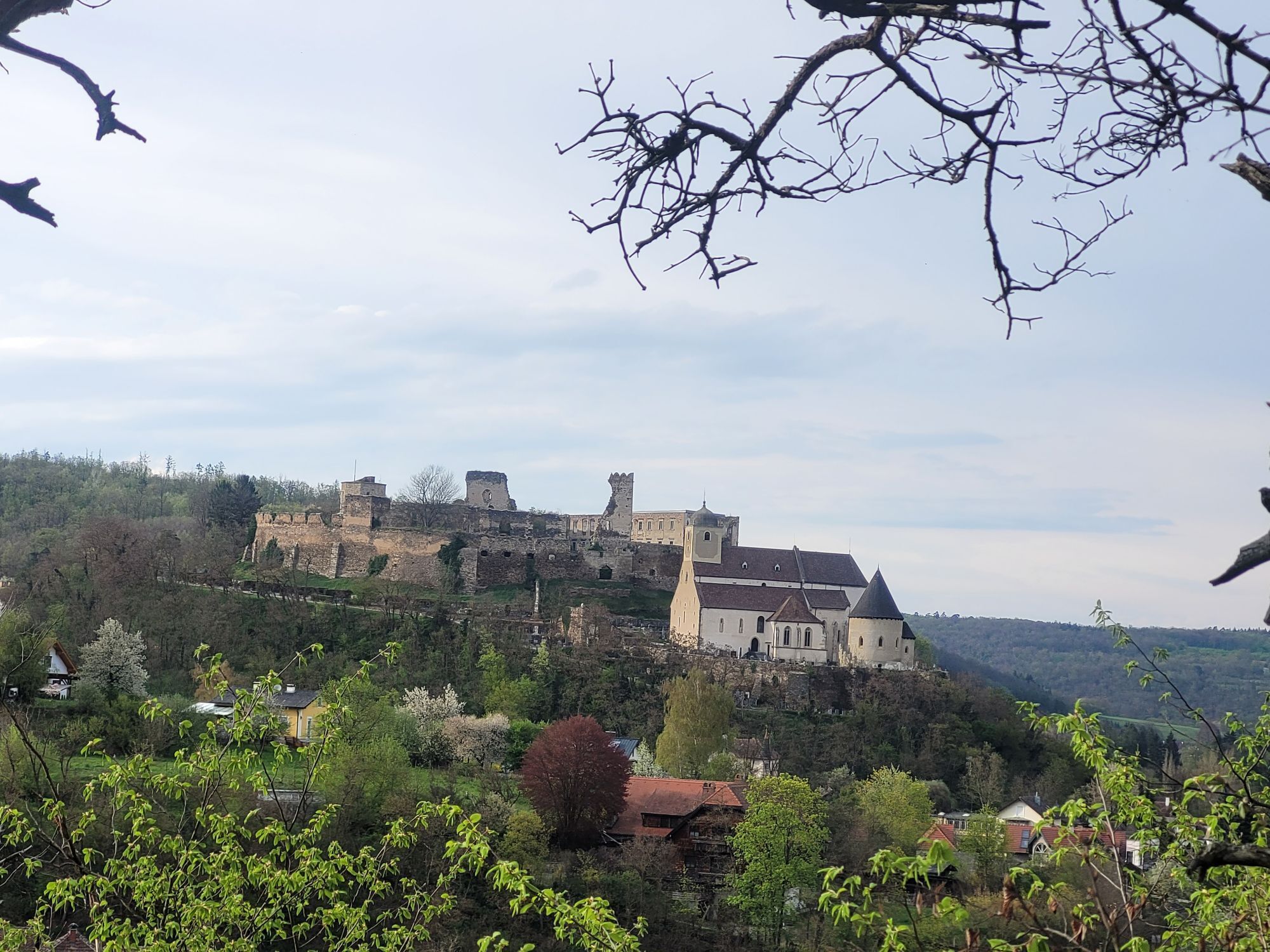
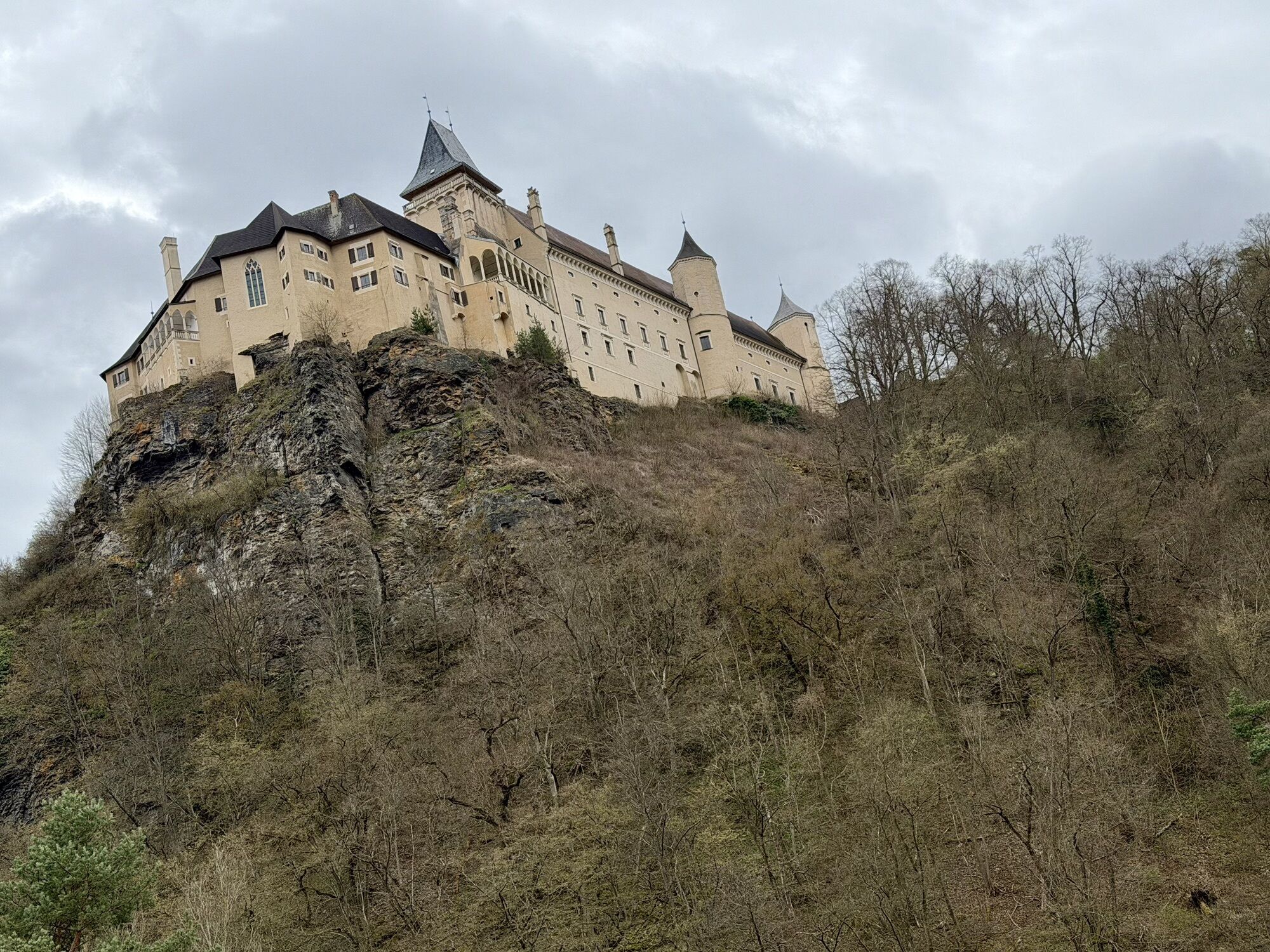
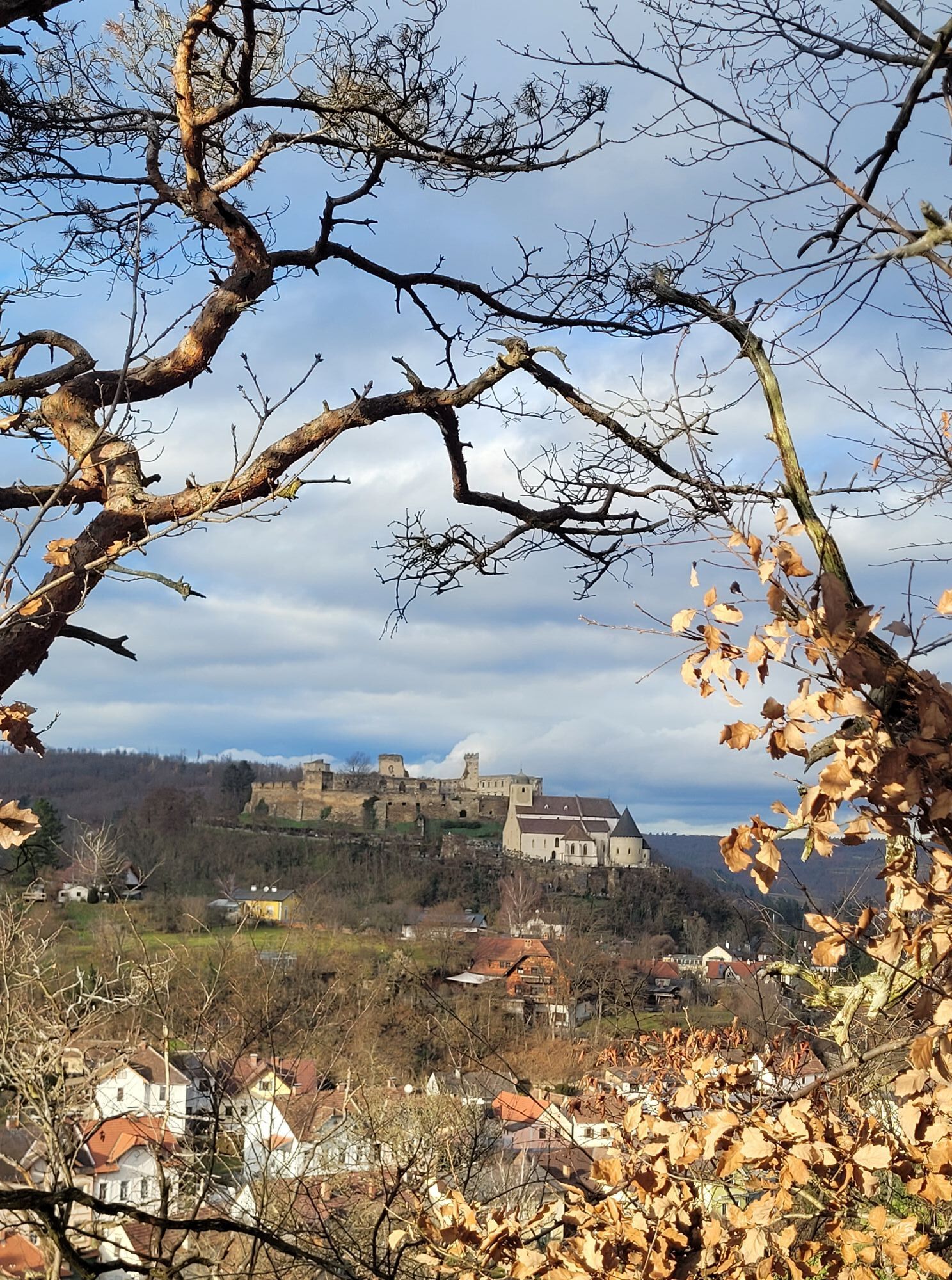
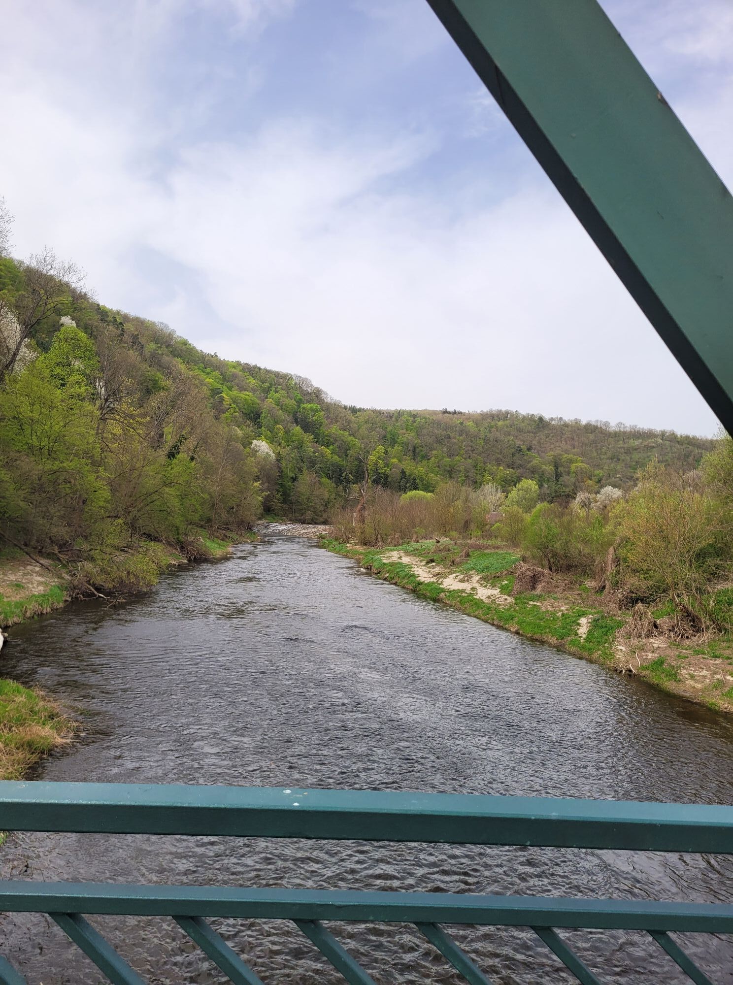
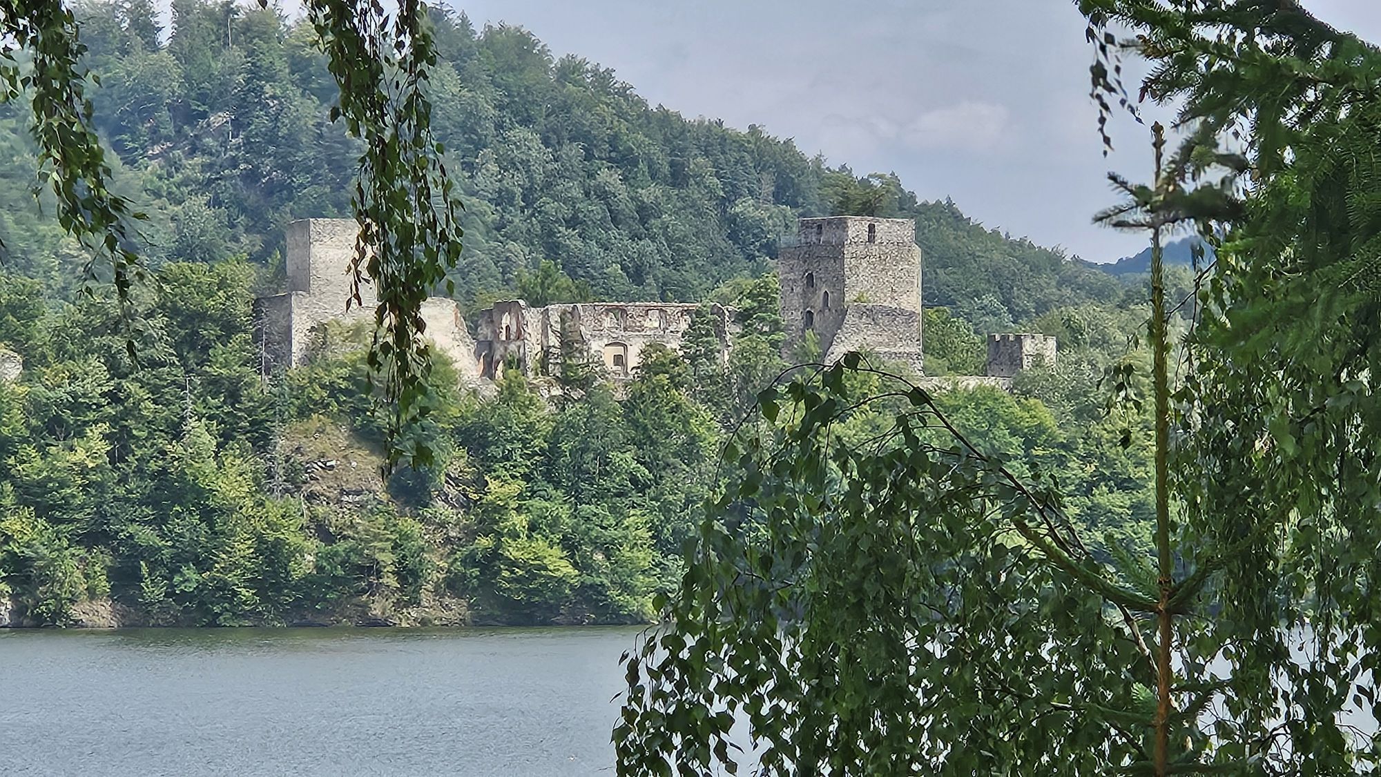
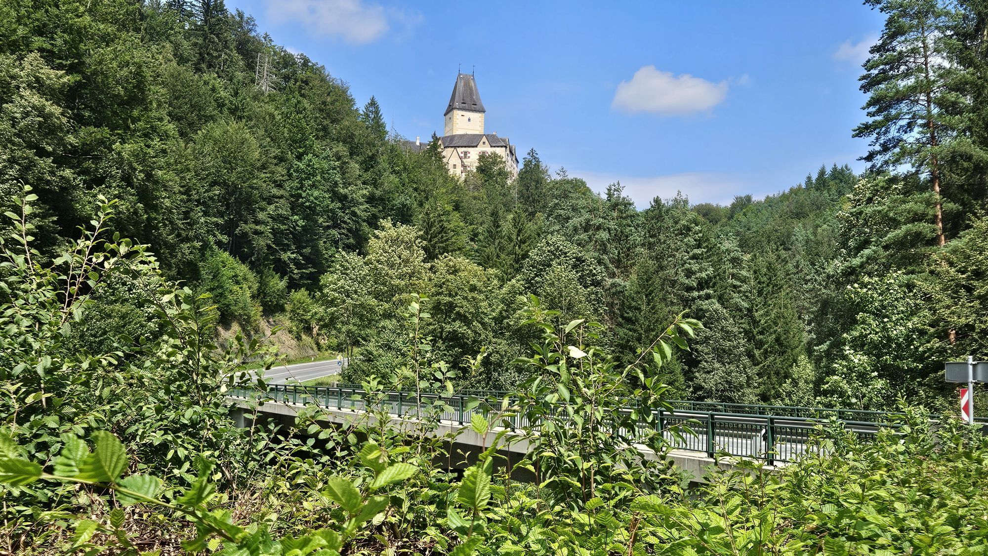
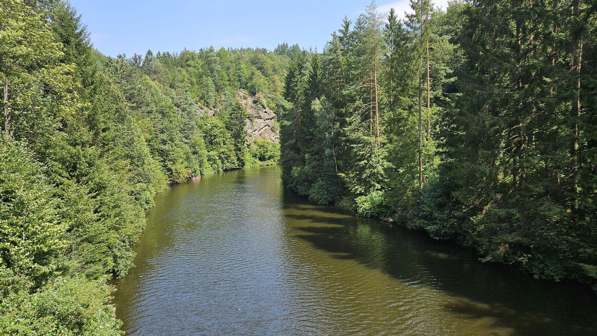
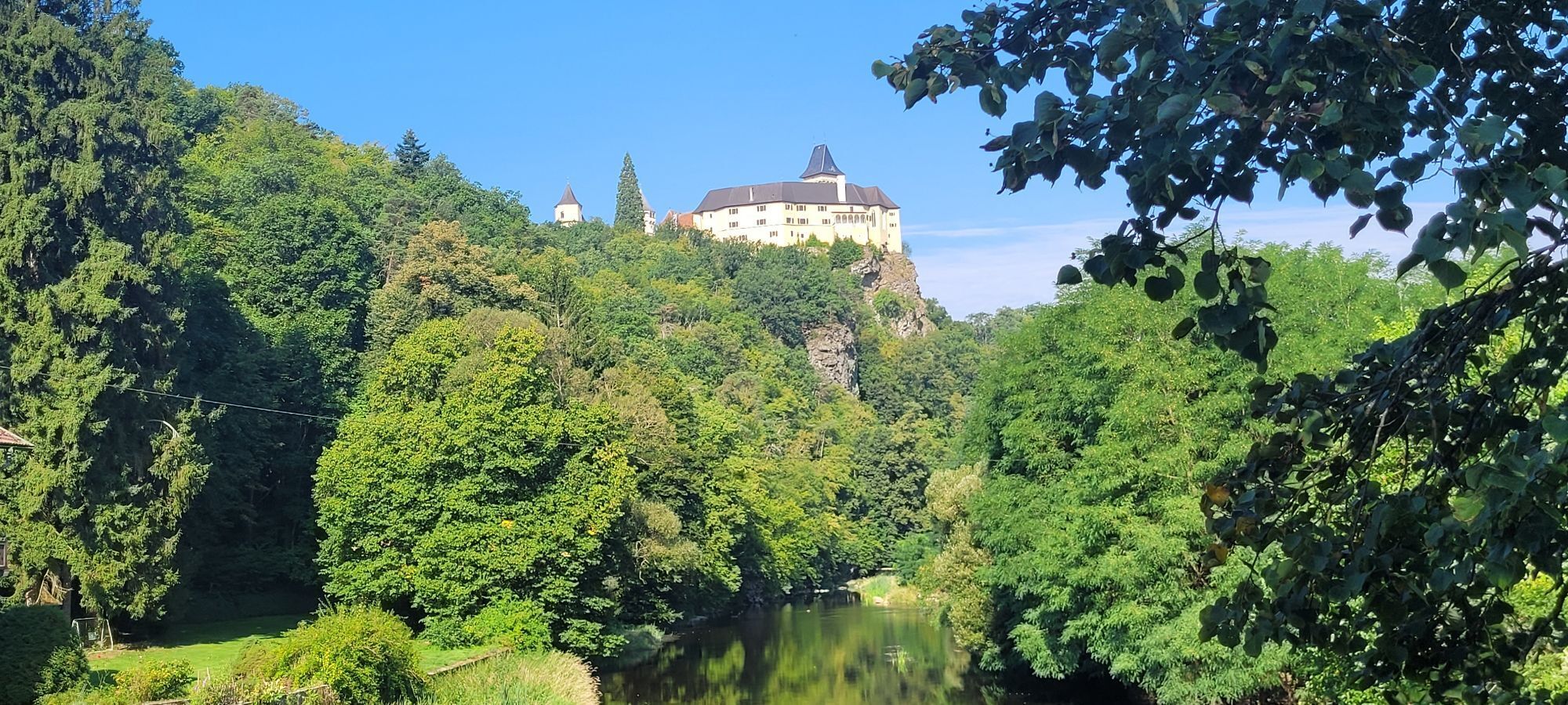
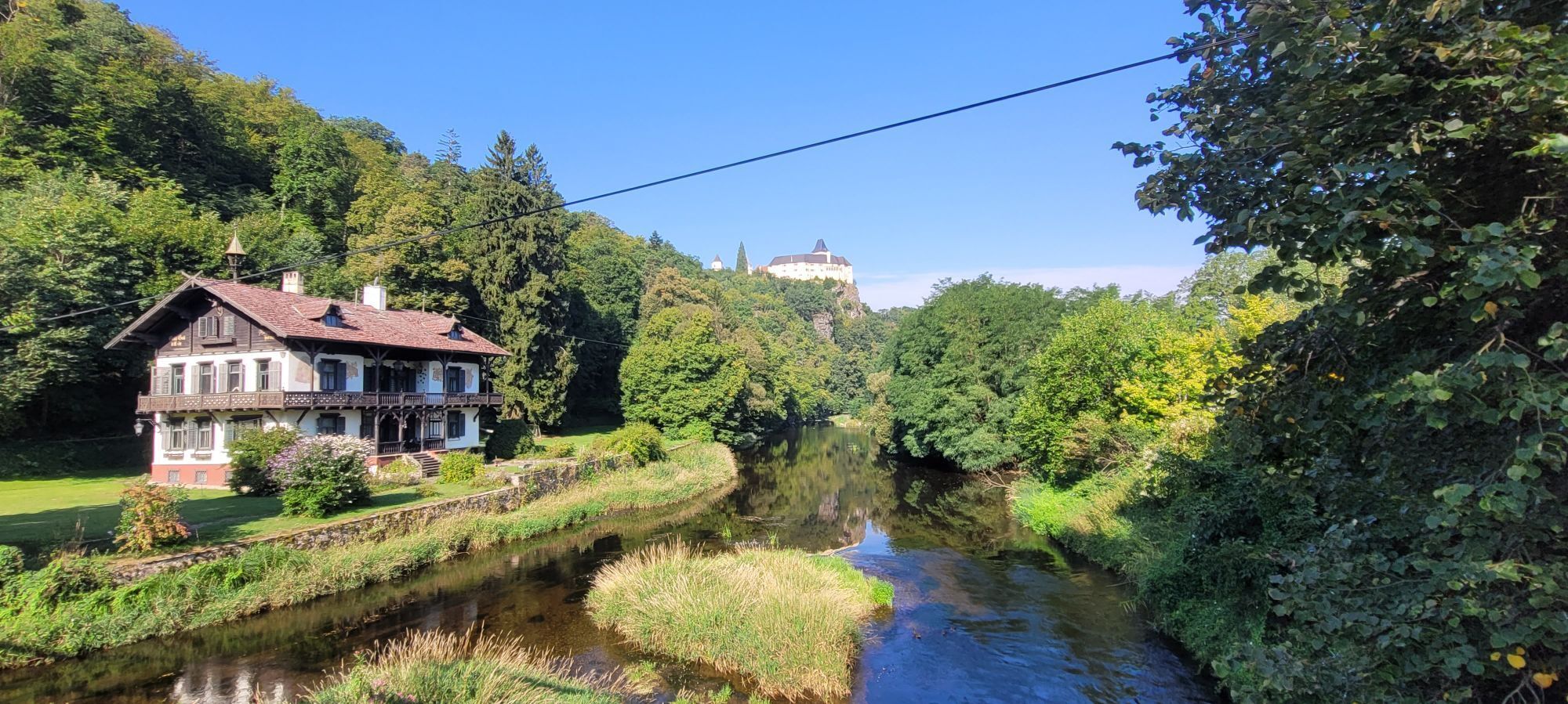
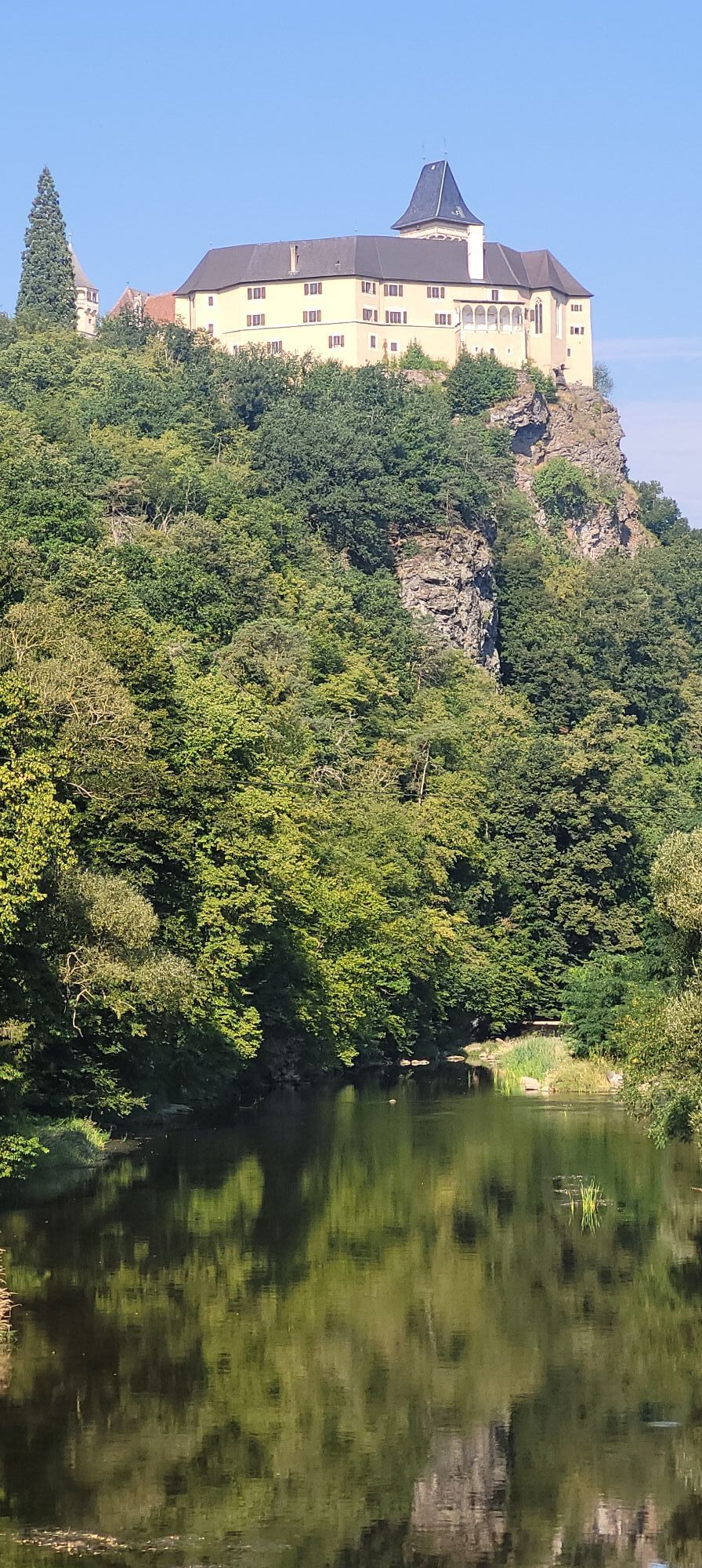
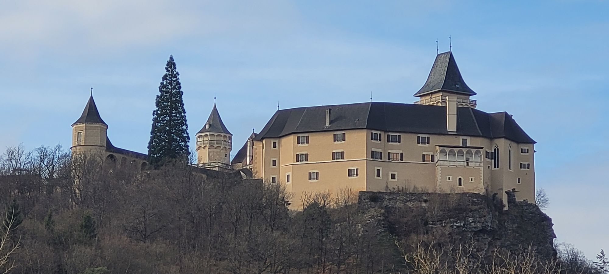
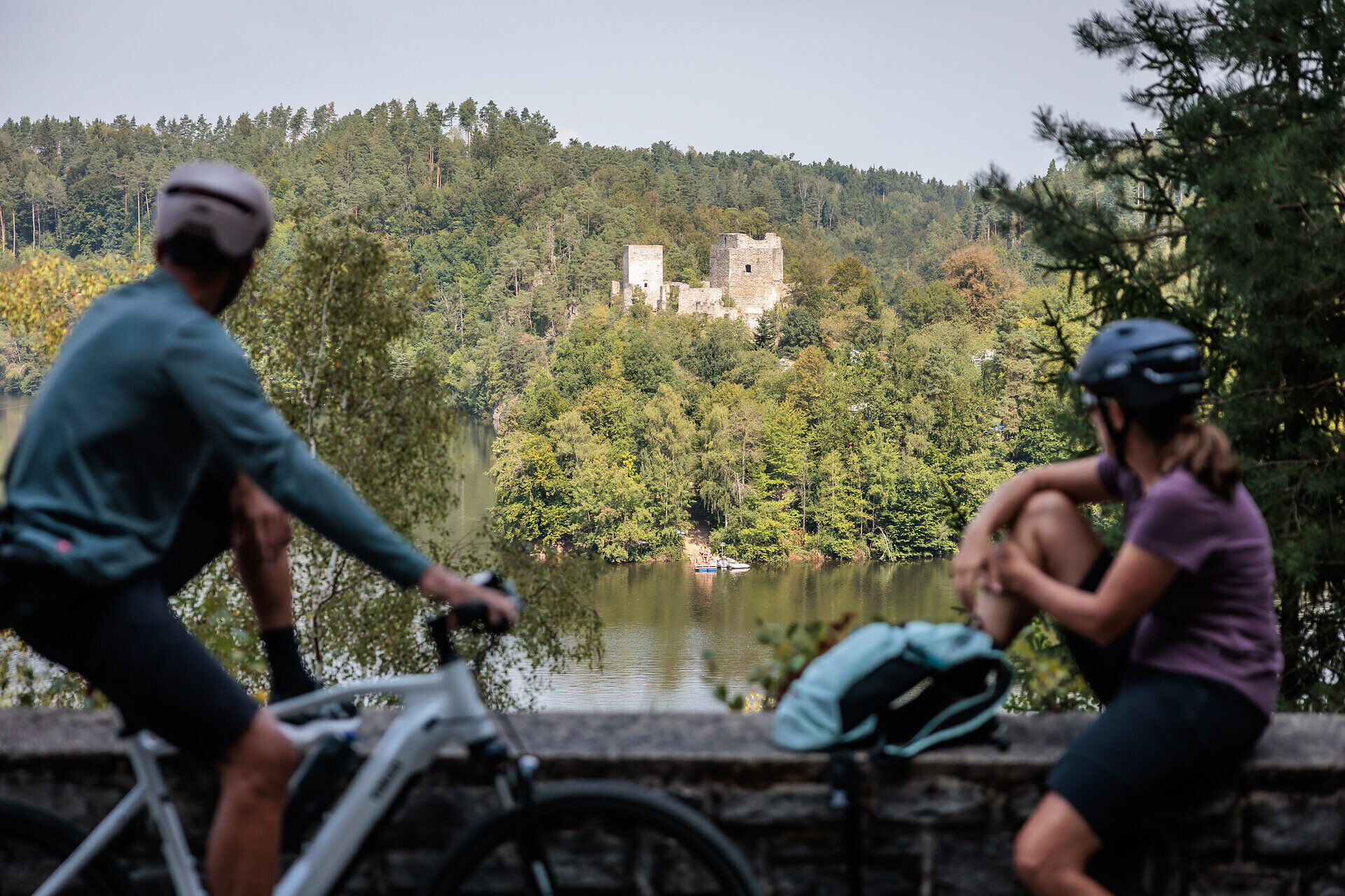
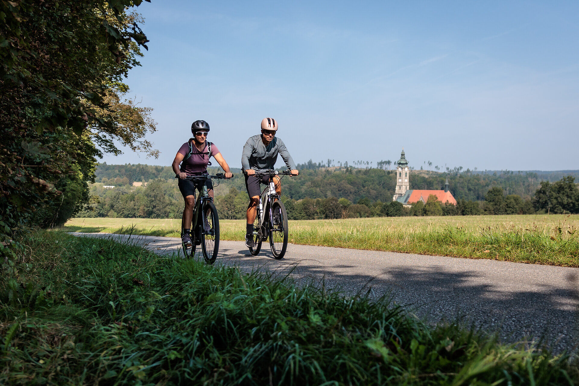
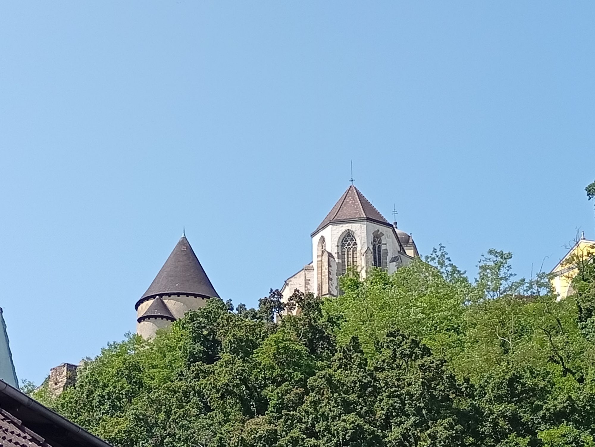
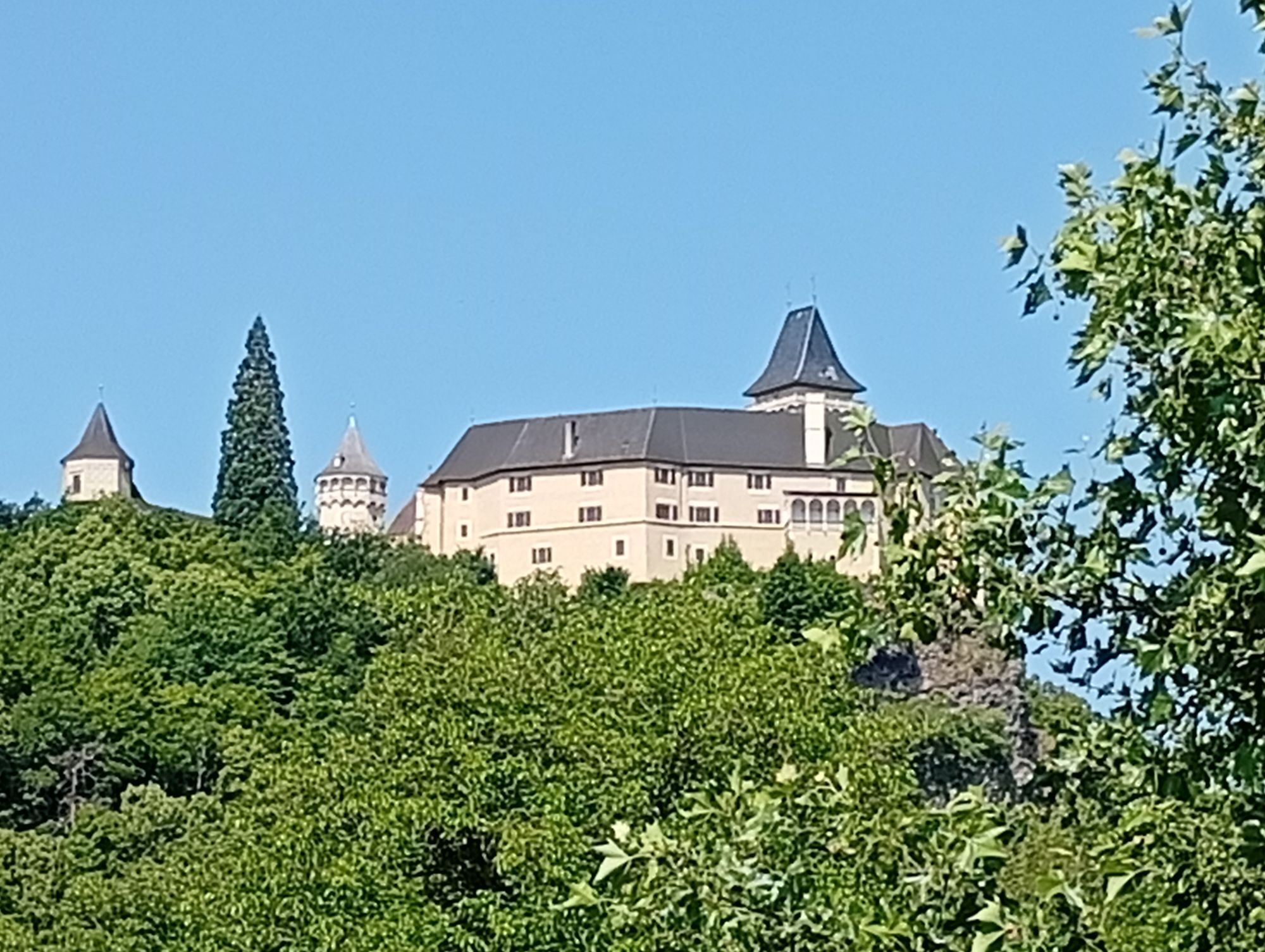
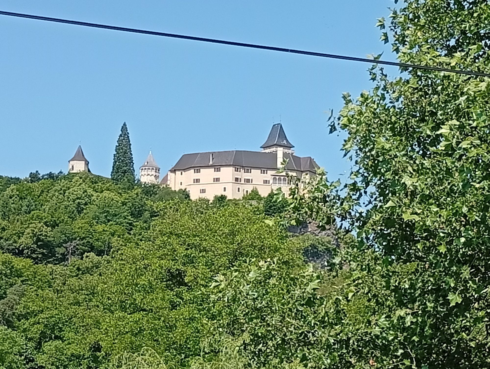
The cycle tour starts in Altenwörth in the Danube valley through the different landscapes of the Kamp Valley ("Kamptal" German). In Langenlois, you enter Austria's largest wine town. And that's not all: here wine becomes an experience, gardens a spectacle and modern architecture a pleasure. Continuing along the Kamp, the cycle path leads around Rosenburg Castle, which towers majestically over the Kamp Valley ("Kamptal" in German) and is one of the most beautiful excursion destinations in Lower Austria. The Dobra and Ottenstein reservoirs enchant with their northern atmosphere and are reminiscent of the fjords of Norway. The route continues to Zwettl Abbey, the third oldest Cistercian monastery in the world. Monks have lived here for over 875 years, living their lives according to the rules of St. Benedict. In the destination town of Zwettl, surrounded by 917 meters of historic walls, you can enjoy the result of 300 years of experience in the art of brewing beer. The Kamp river landscape is a constant companion along the entire tour.

There are closures between Gars am Kamp and Rosenburg due to danger spots - follow the local detour!


Note Ottenstein power station: The cycle and accompanying path next to the B38 is closed for approx. 4 weeks from the access road to the boat rental company to the transformer station/dam wall due to construction work. A local detour has been set up (as of 08.10.2025)

Trasa
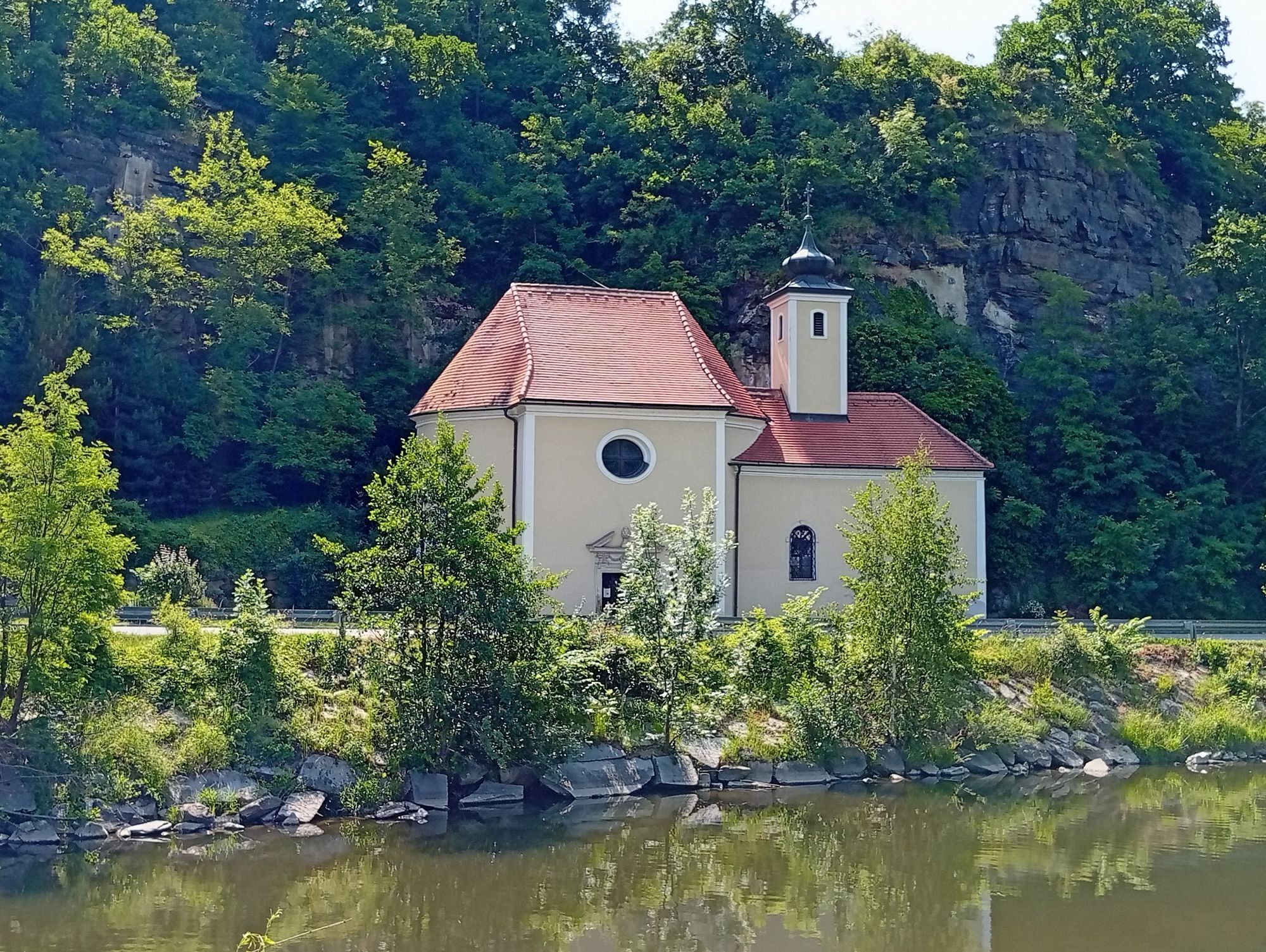
Kapelle zum Heiligen Josef
(187 m)
Miejsce kultu
4,5 km
Elisabethkirche
(218 m)
Miejsce kultu
27,3 km
Pfarrkirche hl. Johannes der Täufer
(238 m)
Miejsce kultu
36,9 km
Wegkapelle Hl. Rochus
(462 m)
Miejsce kultu
63,1 km
Kath. Pfarrkirche hl. Margarethe
(369 m)
Miejsce kultu
81,3 km
Pfarrkirche hl. Laurentius
(560 m)
Miejsce kultu
106,7 km
Johannes von Nepomuk Kapelle
(503 m)
Miejsce kultu
115,2 km
Trasa
Mapa
Kamp Valley Cycle Path
średni
Jazda na rowerze
118,20 km
Altenwörth
(185 m)
Wioska
0,7 km
Kapelle zum Heiligen Sebastian
(187 m)
Miejsce kultu
3,6 km
Kollersdorf
(187 m)
Wioska
3,7 km
Sachsendorf
(188 m)
Wioska
4,0 km
Kapelle zum Heiligen Josef
(187 m)
Miejsce kultu
4,5 km
Heuriger Gmeiner
(187 m)
Restauracja
6,6 km
Seebarn am Wagram
(187 m)
Wioska
6,7 km
Kapelle Oberseebarn
(189 m)
Miejsce kultu
7,0 km
Sankt Johann
(188 m)
Wioska
8,5 km
Ortskapelle Sankt Johann
(188 m)
Miejsce kultu
8,6 km
Pfarrkirche hl. Andreas
(191 m)
Miejsce kultu
10,8 km
Grafenwörth
(191 m)
Wioska
11,0 km
Heuriger Ott
(191 m)
Restauracja
11,1 km
Jettsdorf
(192 m)
Wioska
13,7 km
Kamp
(194 m)
Wioska
15,9 km
Haitzendorf
(194 m)
Wioska
16,6 km
Gasthof Haag
(195 m)
Restauracja
16,7 km
Sittendorf
(196 m)
Wioska
17,9 km
Diendorf am Kamp
(198 m)
Wioska
19,6 km
Walkersdorf am Kamp
(198 m)
Wioska
19,7 km
Hadersdorf am Kamp
(202 m)
Wioska
21,2 km
Pfarrkirche hll. Peter und Paul
(202 m)
Miejsce kultu
21,4 km
Gobelsburg
(207 m)
Wioska
24,2 km
Weinhof Kreitner-Sax
(206 m)
Restauracja
24,2 km
Haindorfer Kapelle
(209 m)
Miejsce kultu
26,0 km
Langenlois
(219 m)
Miasto
27,2 km
Elisabethkirche
(218 m)
Miejsce kultu
27,3 km
Zöbing
(210 m)
Wioska
30,1 km
Heiligensteinerhof
(211 m)
Restauracja
30,2 km
Gutmann
(218 m)
Restauracja
30,7 km
Schönberg-Neustift
(239 m)
Wioska
31,6 km
Mantlermühle
(215 m)
Punkt widzenia
33,8 km
Gasthof zur Schonenburg
(224 m)
Restauracja
33,9 km
Schönberg am Kamp
(221 m)
Wioska
34,0 km
Badbuffet
(221 m)
Restauracja
34,3 km
Heuriger Staritzbichler-Deibler
(222 m)
Restauracja
36,8 km
Pfarrkirche hl. Johannes der Täufer
(238 m)
Miejsce kultu
36,9 km
Stiefern
(237 m)
Wioska
36,9 km
Altenhof
(246 m)
Wioska
38,3 km
Plank am Kamp
(244 m)
Wioska
41,1 km
Oberplank
(245 m)
Rozliczenie
42,1 km
Thunau am Kamp
(254 m)
Wioska
47,0 km
Gars am Kamp
(249 m)
Miasto
47,7 km
"Platzlwirt" - Gasthaus Falk
(251 m)
Restauracja
47,8 km
Gars-Thunau
(250 m)
Stacja kolejowa
48,2 km
Kamegg
(254 m)
Wioska
50,0 km
Rosenburg am Kamp
(259 m)
Wioska
52,9 km
Hotel Restaurant Landgasthof Mann
(261 m)
Restauracja
53,0 km
Hofmühle
(266 m)
Rozliczenie
53,9 km
Altenburg
(390 m)
Wioska
58,0 km
Mahrersdorf
(422 m)
Rozliczenie
60,8 km
Fuglau
(453 m)
Wioska
62,7 km
Wegkapelle Hl. Rochus
(462 m)
Miejsce kultu
63,1 km
Gobelsdorf
(412 m)
Rozliczenie
64,4 km
Feinfeld
(421 m)
Rozliczenie
65,4 km
Greillenstein
(451 m)
Rozliczenie
67,1 km
Röhrenbach
(455 m)
Wioska
67,7 km
Ramsau
(449 m)
Rozliczenie
70,3 km
Altpölla
(451 m)
Wioska
72,6 km
Gasthof Speneder
(455 m)
Restauracja
72,8 km
Kleinenzersdorf
(463 m)
Rozliczenie
74,4 km
Hauleihen Äcker
(514 m)
Korytarz/teren
76,6 km
Tiefenbach
(497 m)
Rozliczenie
77,1 km
Mayrhofern
(523 m)
Korytarz/teren
78,5 km
Kapellenleithen
(441 m)
Korytarz/teren
80,7 km
Krumau am Kamp
(370 m)
Wioska
81,3 km
Kath. Pfarrkirche hl. Margarethe
(369 m)
Miejsce kultu
81,3 km
Heurigen-Gasthof Prinz
(368 m)
Restauracja
81,3 km
Gasthof Kern "Zum braunen Hirschen"
(368 m)
Restauracja
81,5 km
Kamphütten
(395 m)
Korytarz/teren
85,9 km
Ristorante Vita
(527 m)
Restauracja
96,3 km
Ortskapelle hl. Anna
(527 m)
Miejsce kultu
96,4 km
Peygarten-Ottenstein
(528 m)
Wioska
96,5 km
Pfarrkirche Mariä Himmelfahrt
(579 m)
Miejsce kultu
97,7 km
Rastenfeld
(575 m)
Wioska
97,7 km
Treibfeld
(600 m)
Korytarz/teren
99,6 km
Rastenberg
(558 m)
Rozliczenie
100,1 km
Gasthaus Rucker
(549 m)
Restauracja
100,4 km
Werschenschlag
(567 m)
Wioska
101,6 km
Hoflißen
(563 m)
Korytarz/teren
101,9 km
Niederwaltenreith
(549 m)
Wioska
102,8 km
Wegrand
(576 m)
Korytarz/teren
104,0 km
Wolfsberg
(563 m)
Wioska
104,2 km
Pfarrkirche hl. Laurentius
(560 m)
Miejsce kultu
106,7 km
Faulenzerhotel
(536 m)
Restauracja
107,2 km
Jagastubn
(541 m)
Restauracja
107,5 km
Friedersbach
(538 m)
Wioska
107,6 km
Gasthof Hanni
(560 m)
Restauracja
110,0 km
Mitterreith
(547 m)
Wioska
110,3 km
Edelhof
(594 m)
Rozliczenie
113,1 km
Sauberg
(549 m)
Korytarz/teren
114,3 km
Johannes von Nepomuk Kapelle
(503 m)
Miejsce kultu
115,2 km
Zwettl Stift
(516 m)
Wioska
115,4 km
Stiftstaverne
(520 m)
Restauracja
115,5 km
Bozener Siedlung
(520 m)
Rozliczenie
117,1 km
Kampsiedlung
(509 m)
Rozliczenie
117,2 km
Zwettl
(525 m)
Miasto
118,2 km
Informacje o wycieczce

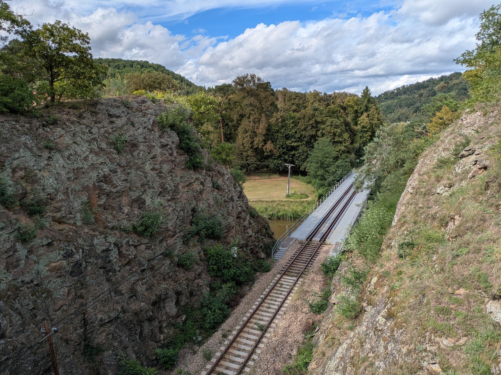
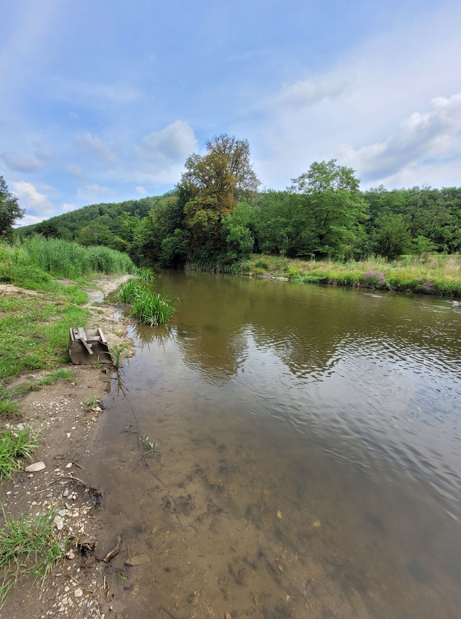
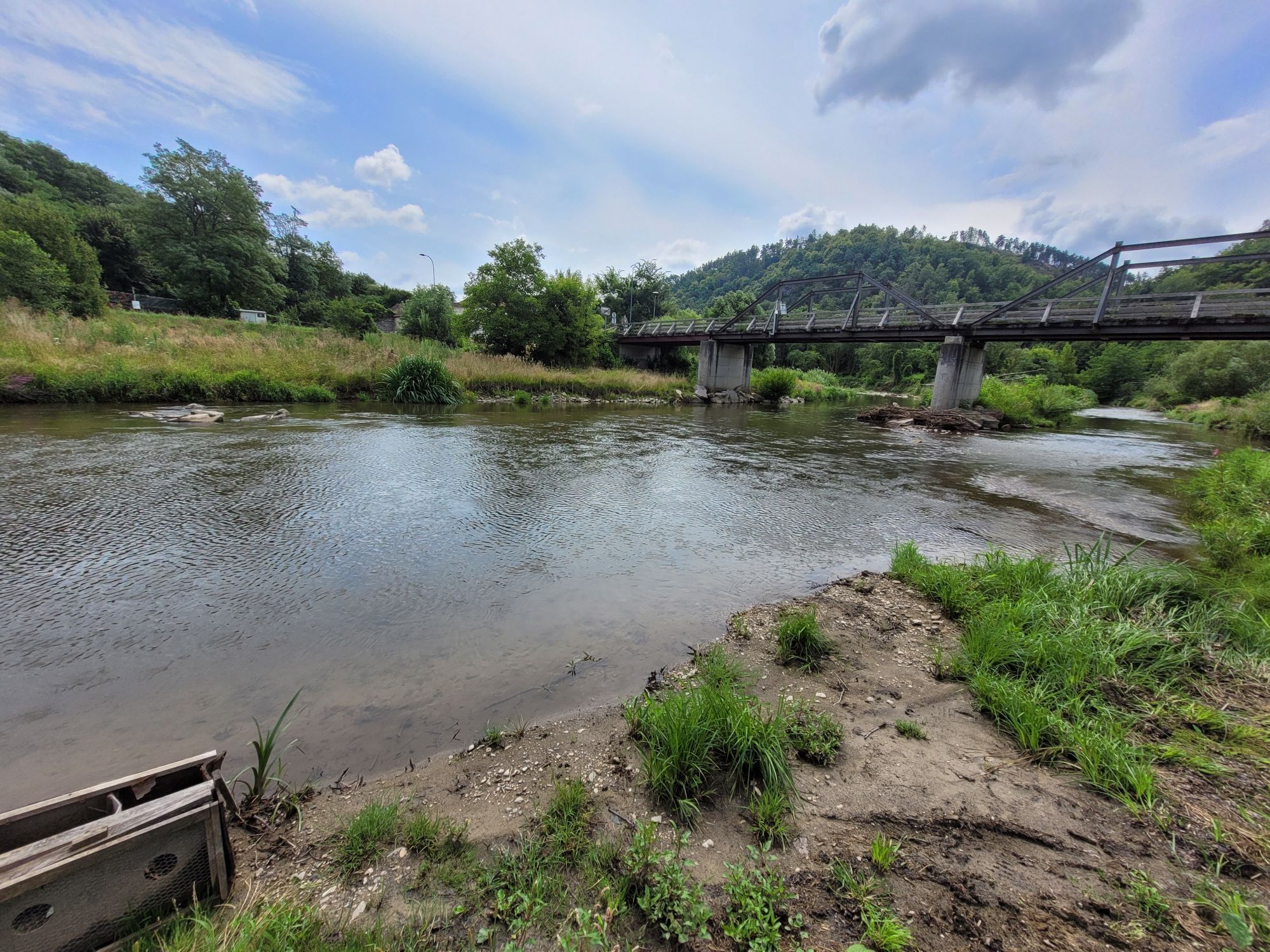
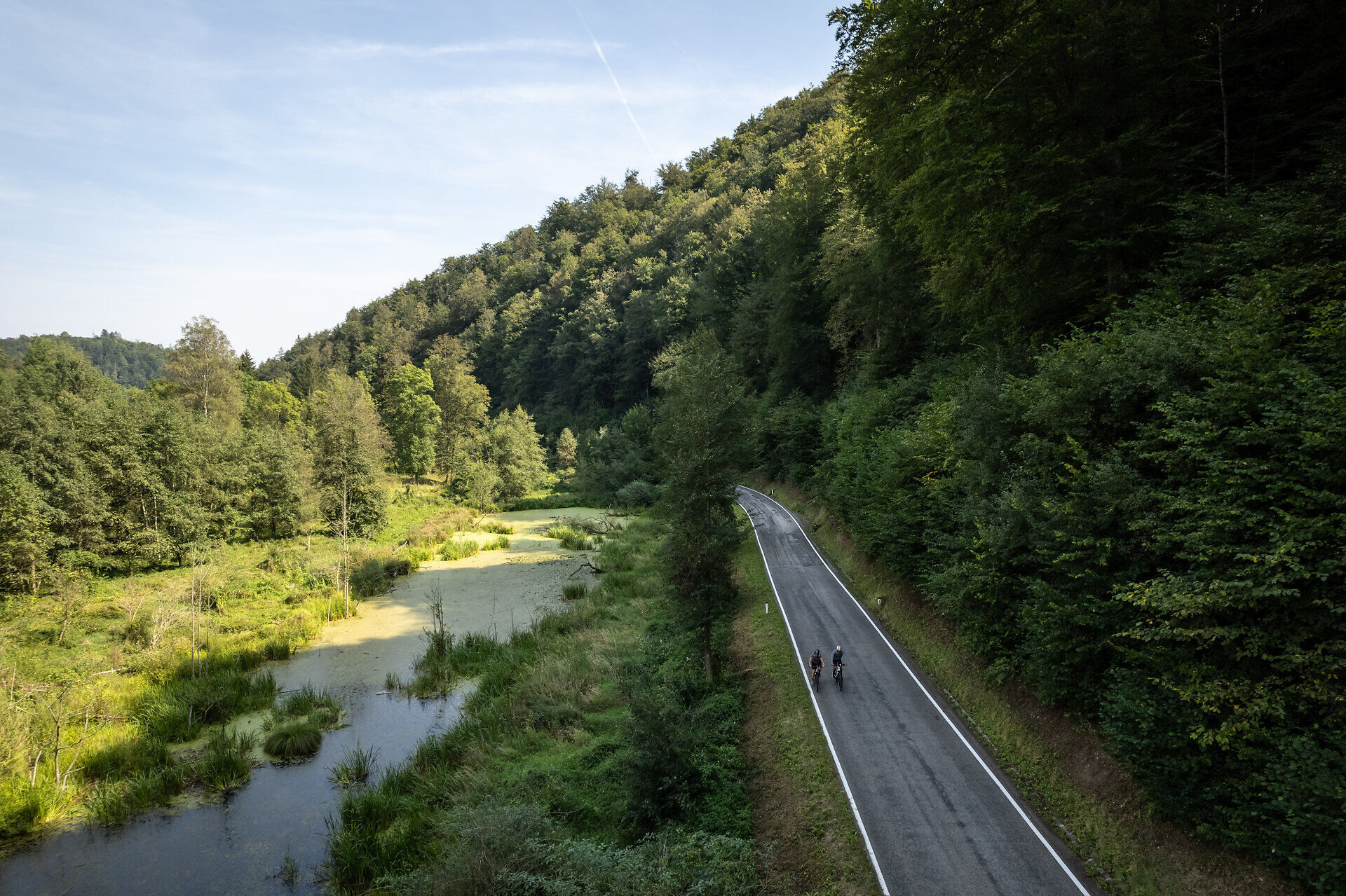
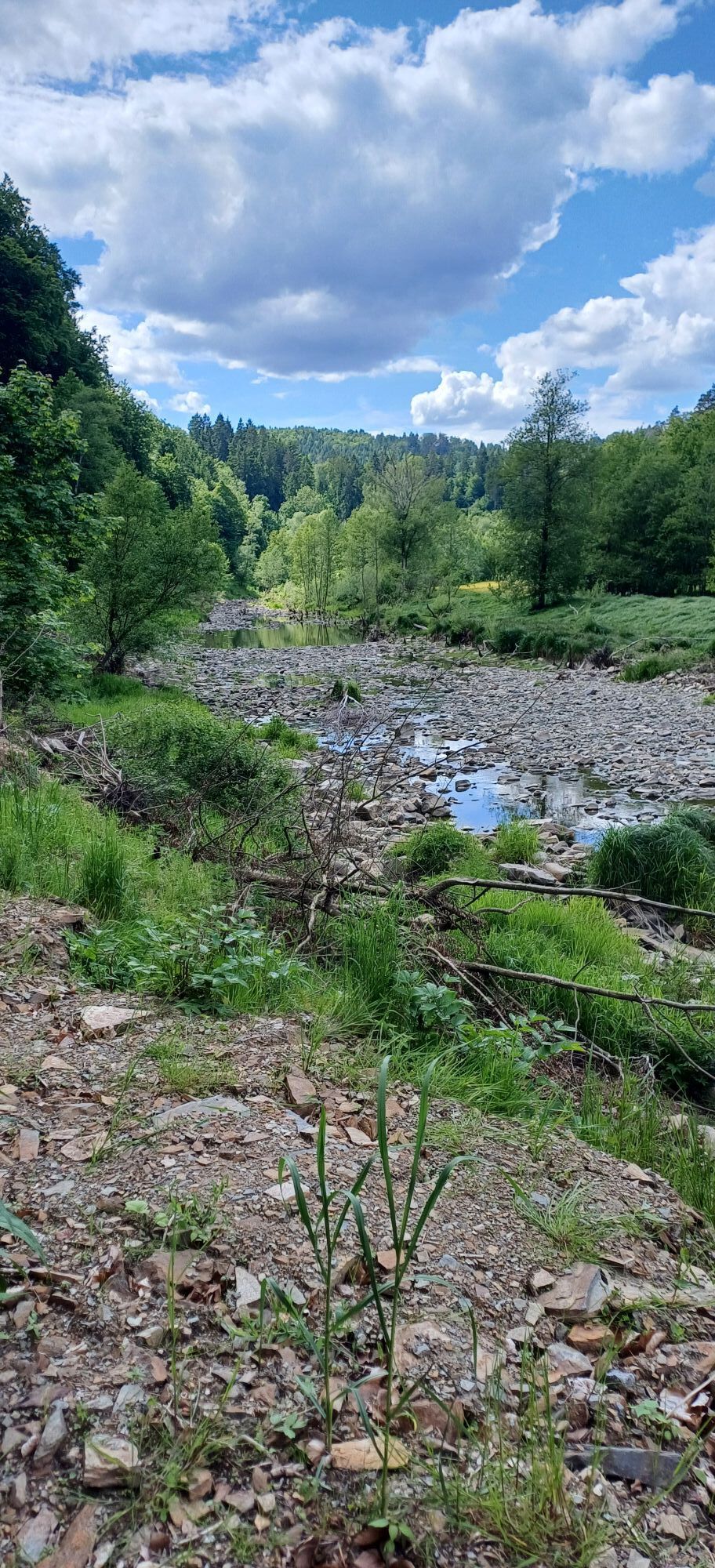
Scandinavian flair in the middle, Mediterranean in the lower course of the Kamp: scenic diversity and cultural locations make this cycle route a special experience.

Technologia
n.d.
Stan
4 / 6
Krajobraz
6 / 6
Doświadczenie
5 / 6
Najlepsza pora roku
Sty
Lut
Mar
Kwi
Maj
Cze
Lip
Sie
Wrz
Paź
Lis
Gru
Autor
Dostarczone przez Waldviertel Tourismus
Logo
Udostępnij trasę
Mapa
Kamp Valley Cycle Path
średni
Jazda na rowerze
118,20 km
Błąd
Wystąpił błąd. Spróbuj ponownie.
Informacje o trasie
Trasa

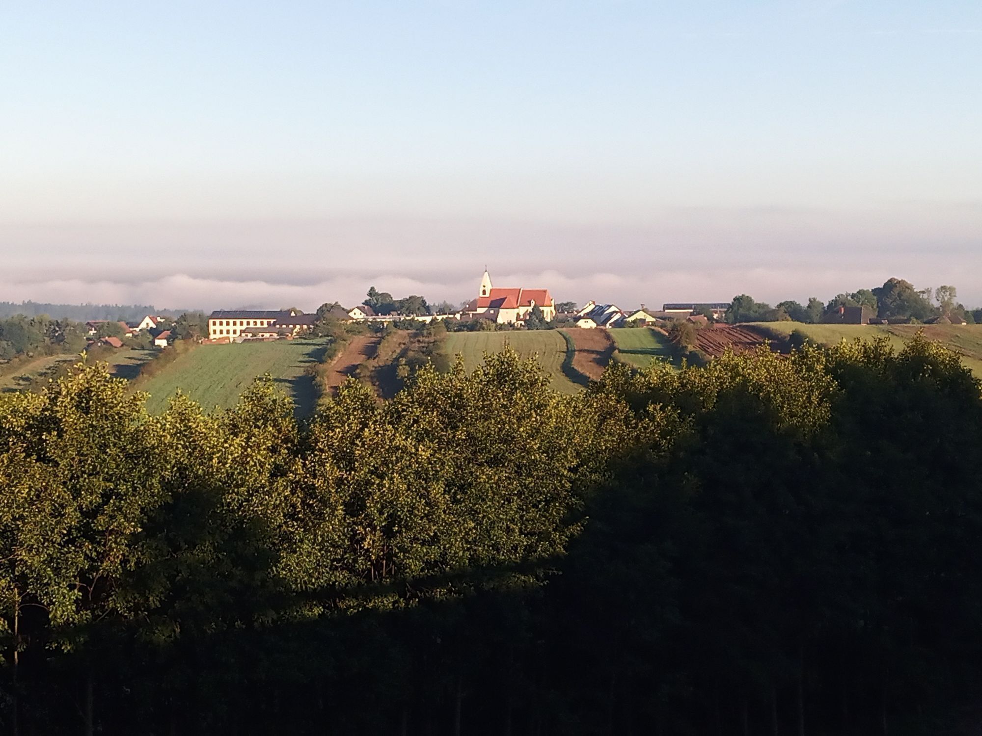
The starting point for this landscape-rich cycling route is the town of Altenwörth. Over a distance of 118 cycling kilometers, the route passes through a total of 35 towns in the Kamp valley. Flat alluvial land in the Danube floodplains is replaced by vineyard-covered slopes of the Wagram. The southern flair in the renowned wine town of Langenlois invites you to relax with pleasure. At the spectacular Dobra and Ottenstein reservoirs, you feel reminded of the fjords of Norway. The Zwettl Abbey, built in a meander of the Kamp, has existed since 1138. In the monastery and the Baroque abbey church, you get a deep look into the history of Christianity. Surrounded by historic city walls, the brewing town of Zwettl marks the end of the cycle route.

WARNING: There are bumps in the asphalt area near Buchberg. Between Gars am Kamp and Rosenburg, closures occur due to hazards - follow the local detour!

Sprzęt

We recommend: helmet, suitable clothing and footwear, rain and sun protection, first aid kit (blister plasters), sufficient provisions (snacks, muesli bars, fruit, water).

Instrukcje bezpieczeństwa

Make sure your chosen route matches your fitness level. Check whether the restaurants you plan to visit along the way are open. Pack your mobile phone and maps in your backpack.

Between Gars am Kamp and Rosenburg there are closures due to hazards - follow the local detour!

Informacje o przyjeździe
Przybycie

Altenwörth Vienna - Stockerau - S5 - Königsbrunn am Wagram exit - Winkel - Altenwörth
Linz - A1 - St. Pölten - S33 Traismauer - S5 Grafenwörth - Fels am Wagram exit - Altenwörth

Zwettl
Vienna - Stockerau - Krems - Zwettl
Linz - Freistadt - Groß Gerungs - Zwettl

Dodatkowe informacje i wskazówki
Dodatkowe informacje

Waldviertel Tourism
3910 Zwettl, Sparkassenplatz 1/2/2
(T) +43 2822 54109
(E) info@waldviertel.at 
(I) www.waldviertel.at

Wskazówki

Nostalgic bathing vibes can be found at the Plank am Kamp lido.

Nie ma jeszcze recenzji
Napisz recenzję

Recenzje pomagają innym użytkownikom wybrać kolejną przygodę. Oceniaj tylko trasę, a nie pogodę lub przekąskę.

Wybierz jedną z gwiazdek, aby ocenić wycieczkę
Zła trasa
Słaba trasa
Przeciętna wycieczka
Dobra wycieczka
Doskonała wycieczka
bergfex logo Uzyskaj wgląd Zawsze na żywo z ponad 9 500 kamer internetowych. bergfex Jako użytkownik Pro, możesz teraz zobaczyć odpowiednie kamery internetowe dla wielu wycieczek w aplikacji wycieczki od. Pozwala to na bezpośredni podgląd aktualnych warunków.
Wędrówki i tropienie

Wędrówki i tropienie

Wędrówki i tropienie
Ponad 550.000 propozycji wycieczek, szczegółowe mapy i intuicyjny planer tras sprawiają, że aplikacja jest niezbędna dla wszystkich entuzjastów przyrody.
bergfex