







Weitblick-Route (far-view)

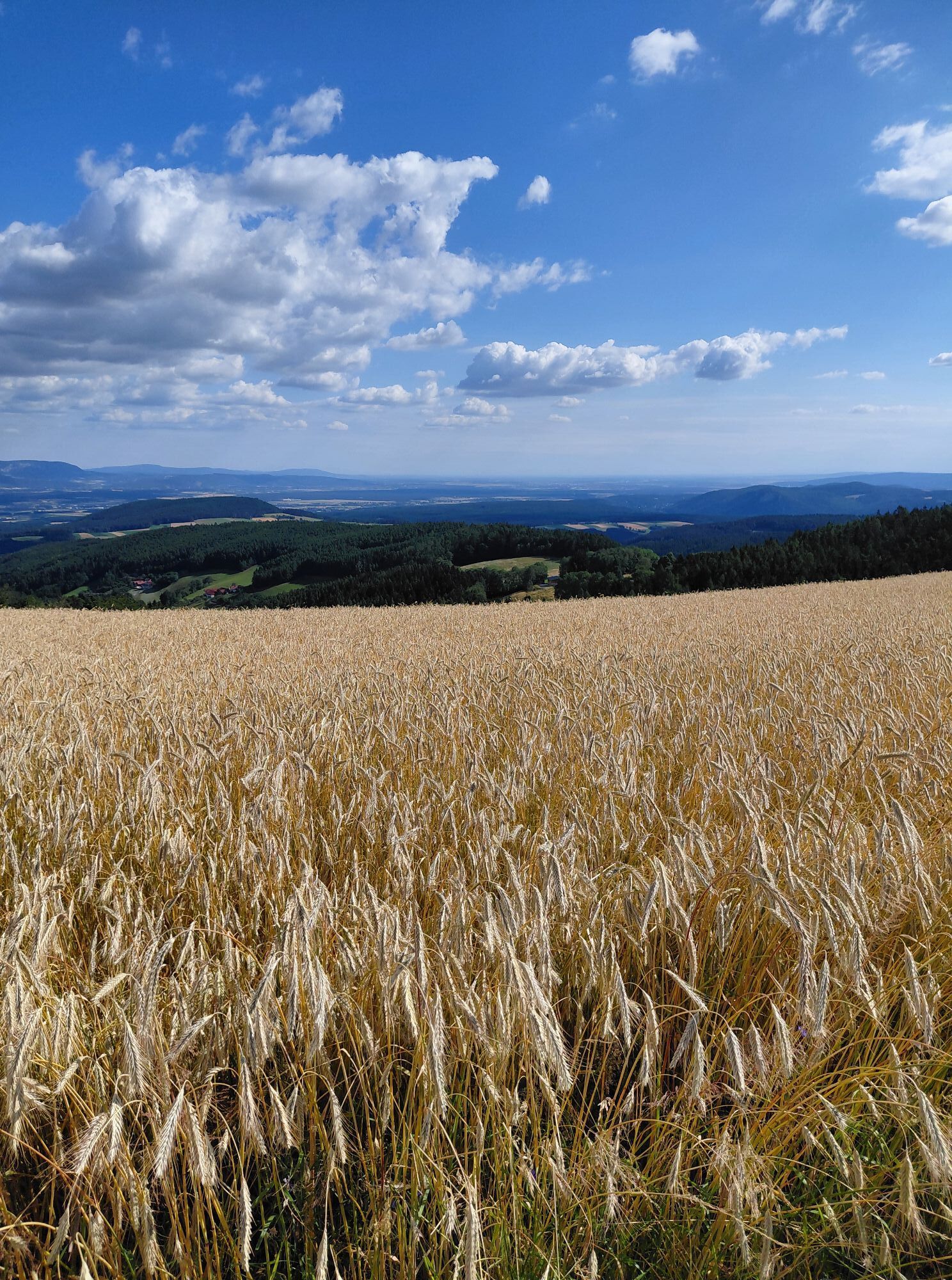
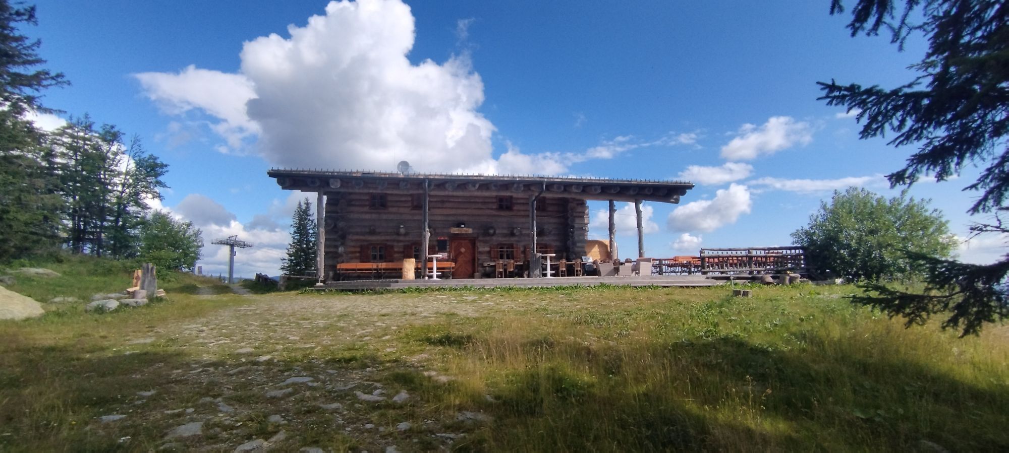
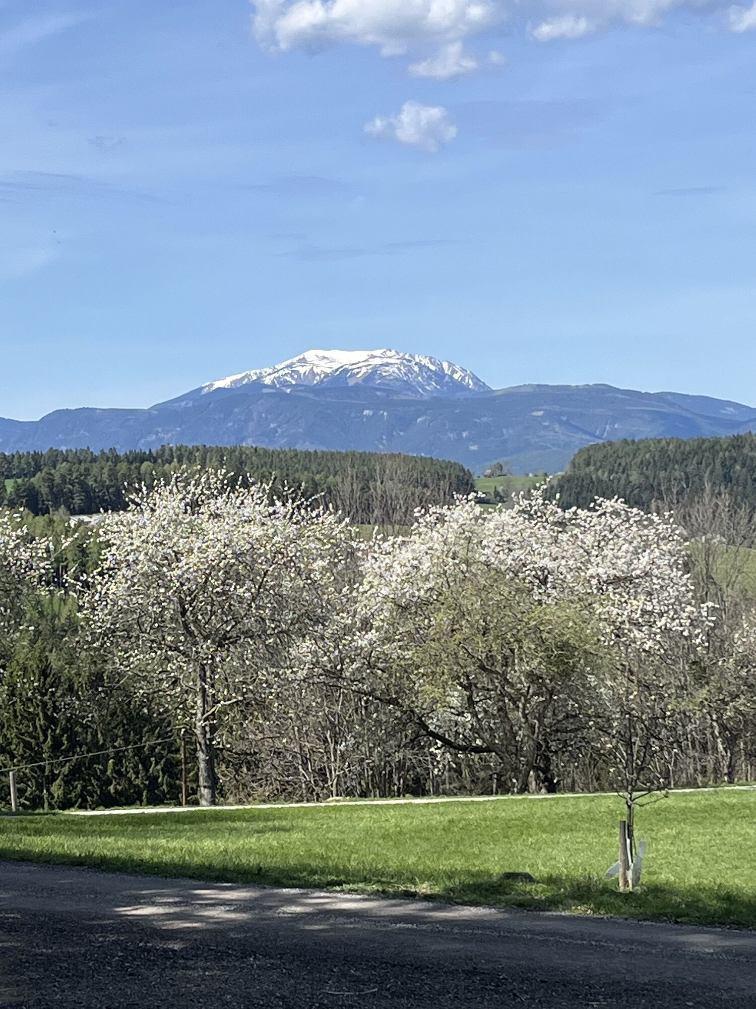
The connecting routes are marked with the green e-bike symbol. Starting from Grimmenstein station, there are connecting trails to the other routes. A special highlight on this route is the Marterlweg Hochegg.
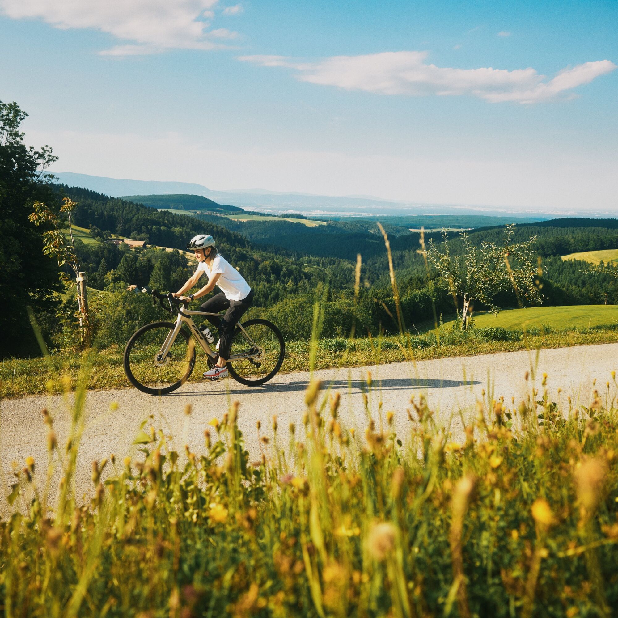

Start of the route in Grimmenstein. Follow the Wechselbundesstraße and turn right onto Hochegger Straße. Follow the long curves with great views to Hochegg, through the village and straight on along Hollabrunner Straße. Go through the village and continue to the Urbanikapelle chapel and turn right onto the Molfritz-Urbankapelle farm track. Follow the road, and turn right towards Kirchau. Turn right and follow Heissenhofstraße. Straight ahead, you should follow Ebener Straße, down through the Kunstgraben and then turn right onto Schulgasse and back to the starting point, where there is a connecting path.
The route is marked with the “Weitblickroute Nr. 6” signs in purple.
Always take suitable maps with you. Wearsturdy shoes and a helmet suitable for the tour, take sun and rain protection as well as water and a snack with you. Take your mobile phone with you and save the emergency number of the rescue service: 144
Your routes in the Vienna Alps should be an all-round beautiful and safe experience. Therefore, please note the following:
Preparation
When choosing a route, make sure it suits your experience and condition. Check the weather forecast in advance. The weather can change surprisingly quickly in the mountains. Therefore, always set off equipped accordingly (e.g. rain protection).
Check whether the inns and snack stations you want to visit on the way are open. Inform someone about your choice of route and your planned return before you set off.
Coming from Vienna or Graz, take the A2 to the Grimmenstein exit. Follow the B54 to Grimmenstein.
Regional trains run regularly from Wiener Neustadt to Grimmenstein.
You can find more information at www.oebb.at
Parking available at Grimmenstein railway station.
Wiener Alpen in Niederösterreich, www.wieneralpen.at, +43 / 2622 / 78960
Erlebnisregion Bucklige Welt, www.buckligewelt.info, +43 676 / 35 09 806
E-bike rental at the "eni" petrol station Felix Picher KEG in Grimmenstein.
Popularne wycieczki w okolicy
- 3,9
Schwaigen Rundwanderung
światłoWędrówka 8,24 km - 4,6
Hochwechsel-Runde, Waldbach-Mönichwald
średniWędrówka 17,9 km - 3,8
St. Corona - Kampstein
średniWędrówka 10,7 km - 4,7
Hochwechsel - Tour
Wędrówka 18,5 km - 4,9
Flatzer Wand Wanderung
światłoWędrówka 5,62 km - 4,6
Prigglitz - Pottschacher Hütte - Rote Wand - Prigglitz
średniWędrówka 8,80 km - 4,6
Mariensee - Wildwasserweg - Marienseer Schwaig
światłoWędrówka 8 km - 4,6
Hochwechsel
średniWędrówka 14,3 km - 4,5
Bucklige Welt: Auf dem Pittentaler Klettersteig zum Türkensturz
średniVia ferrata 1,96 km - 4,5
Sonnwendstein
średniWędrówka 9,40 km
Wędrówki i tropienie


Nie przegap ofert i inspiracji na następne wakacje
Twój adres e-mail została dodana do listy mailingowej.





