




E-Bike-Strecke: Hollenthon - Sconarium Bad Schönau

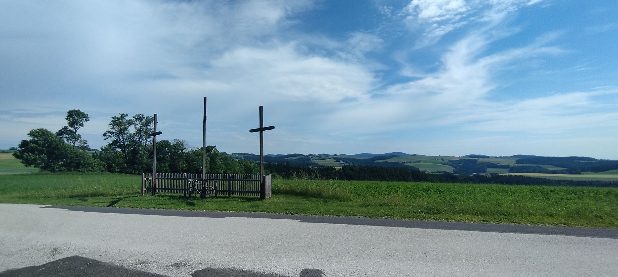
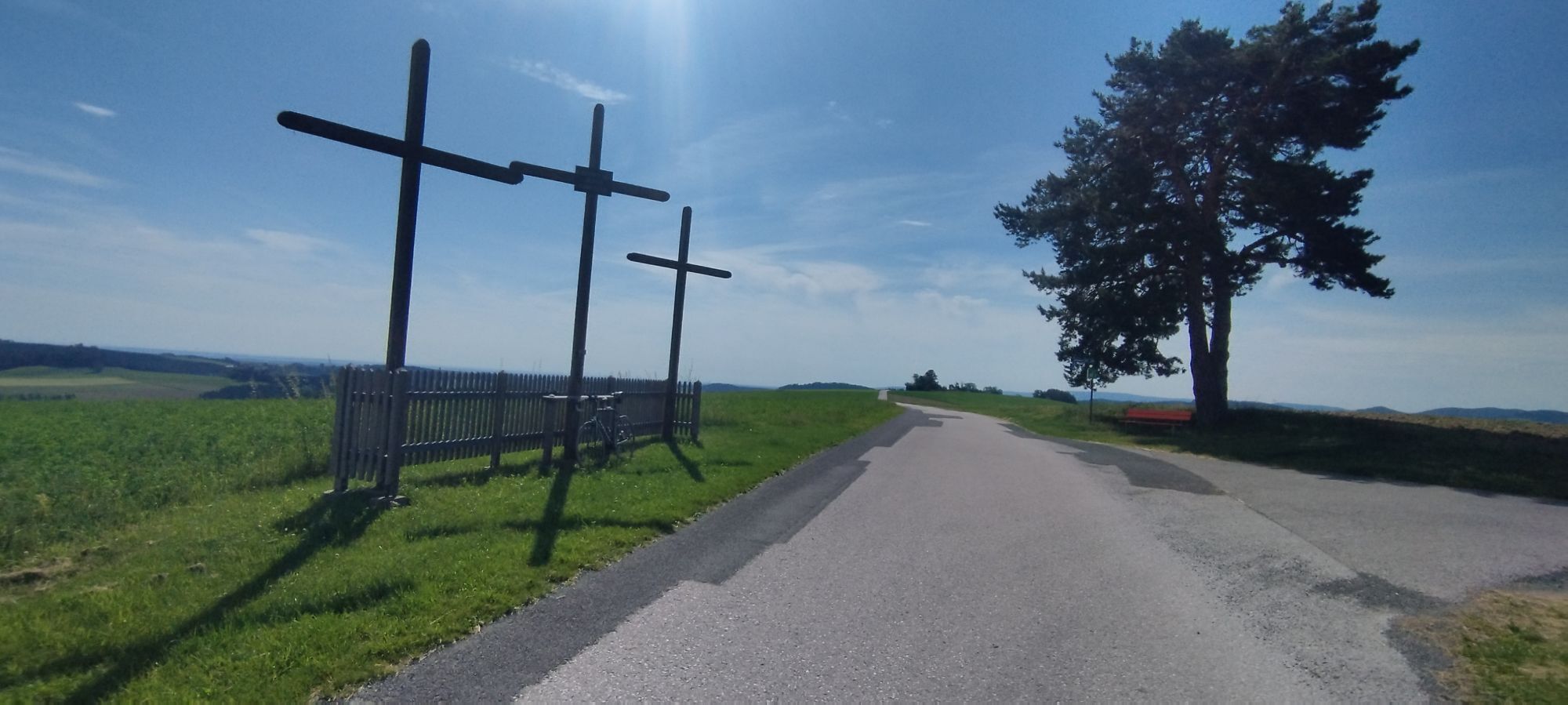
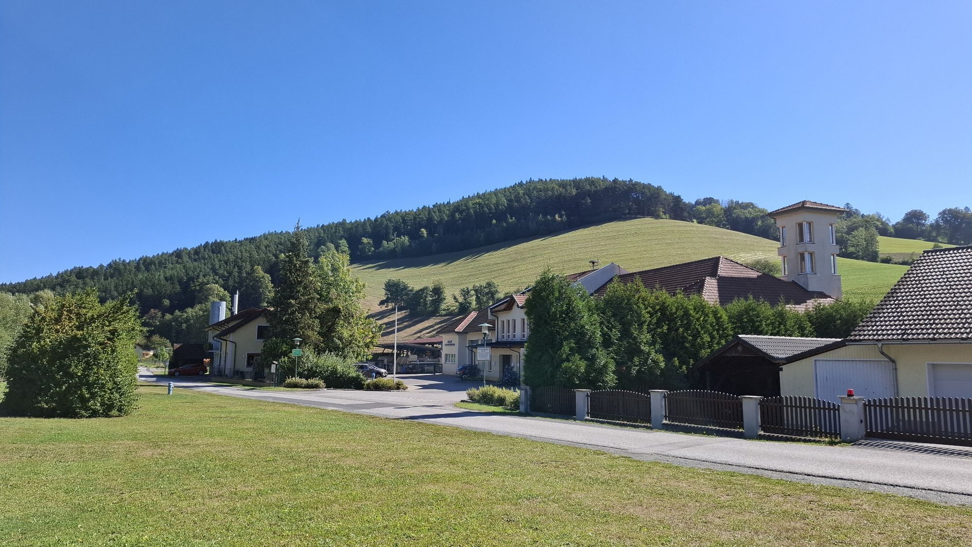
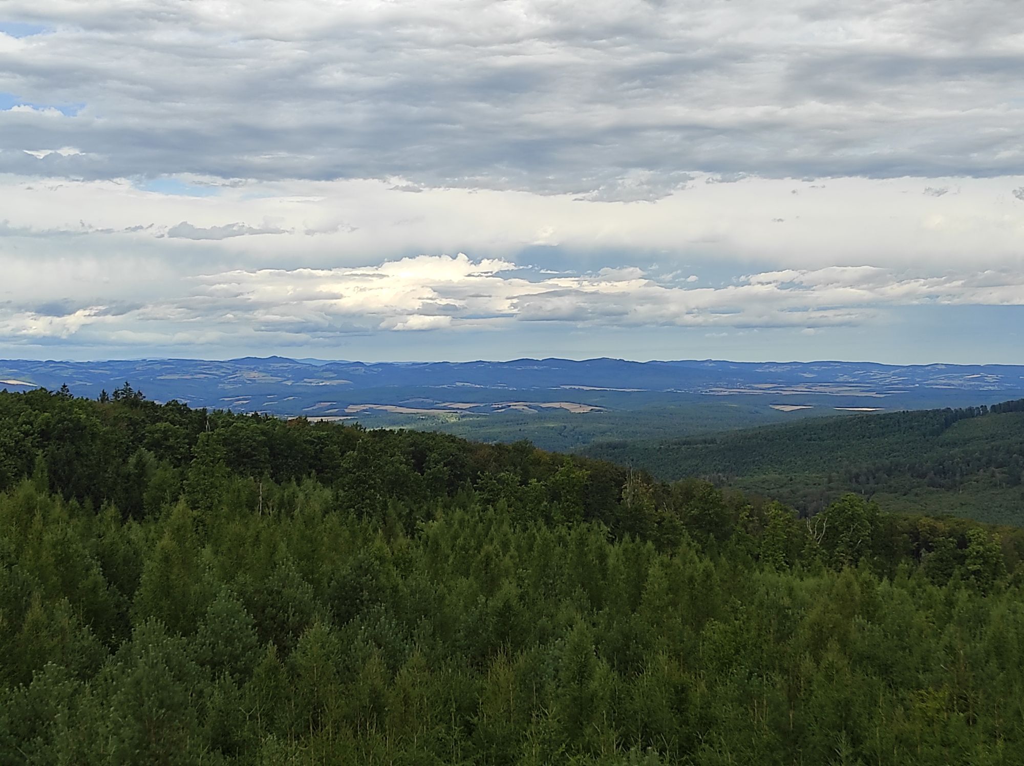
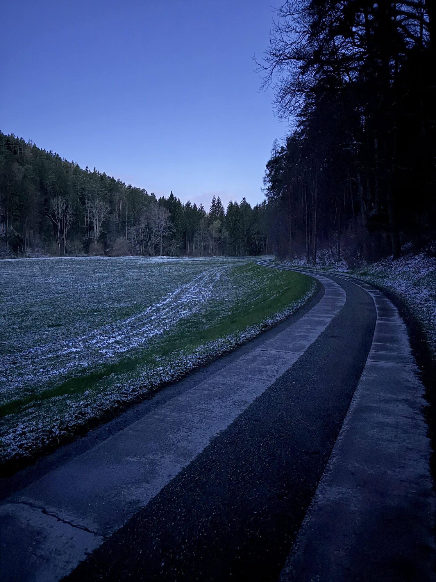
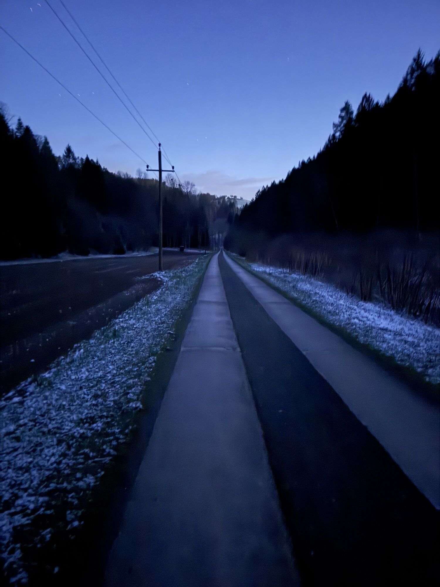

From Hollenthon, follow Route 4, the “Wetterroute,” through Spratzeck and then toward Gleichenbach until you reach Obereck. Here, turn onto the connecting path to Route 2, the “Rosengarten-Route,” and pass by the fire station. At the next T-intersection, turn right onto Route 1, the “Panorama Route,” toward Bad Schönau. Follow the Zöbernbach Bike Trail to Kirchschlag, and from there take Route 2, the “Rosengarten Route,” to Stang. There, follow the connecting path to Route 4, the “Wetter Route,” and ride back to Hollenthon.
We recommend wearing a bike helmet on rides. Wear appropriate clothing and sturdy shoes. Be sure to bring rain gear and sun protection. Bring plenty to drink.
When choosing a route, make sure it matches your experience and fitness level. Check the weather forecast in advance.
If you're coming from Vienna, take the A2 to the Wiener Neustadt interchange and merge onto the S4. Take the Wiener Neustadt-Süd exit. Follow the B54 and turn onto the L142 (Bromberger Straße). Continue along this road until you reach the L144 near Schlatten. Then take the L4101 to Hollenthon.
Coming from Graz, take the A2 to the Aspang exit and follow the L4197. Then follow the L145. At Lichtenegg, take the L4101 to Hollenthon.
Bus Line 380 from/to Wiener Neustadt Central Station
For more information, visit fahrplan.oebb.at and use the route planner
Parking near the sports field
You can find all the routes in the e-bike network in the brochure "E-Bike Tours in Bucklige Welt & Wechselland. "
Kamery internetowe z trasy

Popularne wycieczki w okolicy
-
4,3
"Weg der Blicke"
światłoWędrówka 5,86 km -
4,5
Bad Schönau - Hutwisch
światłoWędrówka 9,99 km -
4,4
B53 Edelserpentin
średniJazda na rowerze 23,5 km -
4,4
BAD-SCHÖNAU Hutwisch und wieder zurück 20220611
średniWędrówka 10,8 km -
4,8
B41 Zöberntal-Rabnitztal cycle trail
średniJazda na rowerze 40,7 km -
3,9
Willersdorf - Willersdorfer Schlucht - Kreuzberg - Aschau im Burgenland
średniWędrówka 9,41 km -
3,0
R1 anniversary cycle path
ciężkiKolarstwo długodystansowe 272,3 km -
5,0
Bad Tatzmannsdorf - Bergwerk
światłoWędrówka 12,8 km -
2,5
Landsee-Pauliberg Hike
średniWędrówka 25,8 km -
5,0
Bad Schönau - Hutwisch - E17
światłoWędrówka 10,8 km
Wędrówki i tropienie


Nie przegap ofert i inspiracji na następne wakacje
Twój adres e-mail została dodana do listy mailingowej.


