







E-Bike-Strecke: Hollenthon - Gedenkraum 1945 Hochwolkersdorf

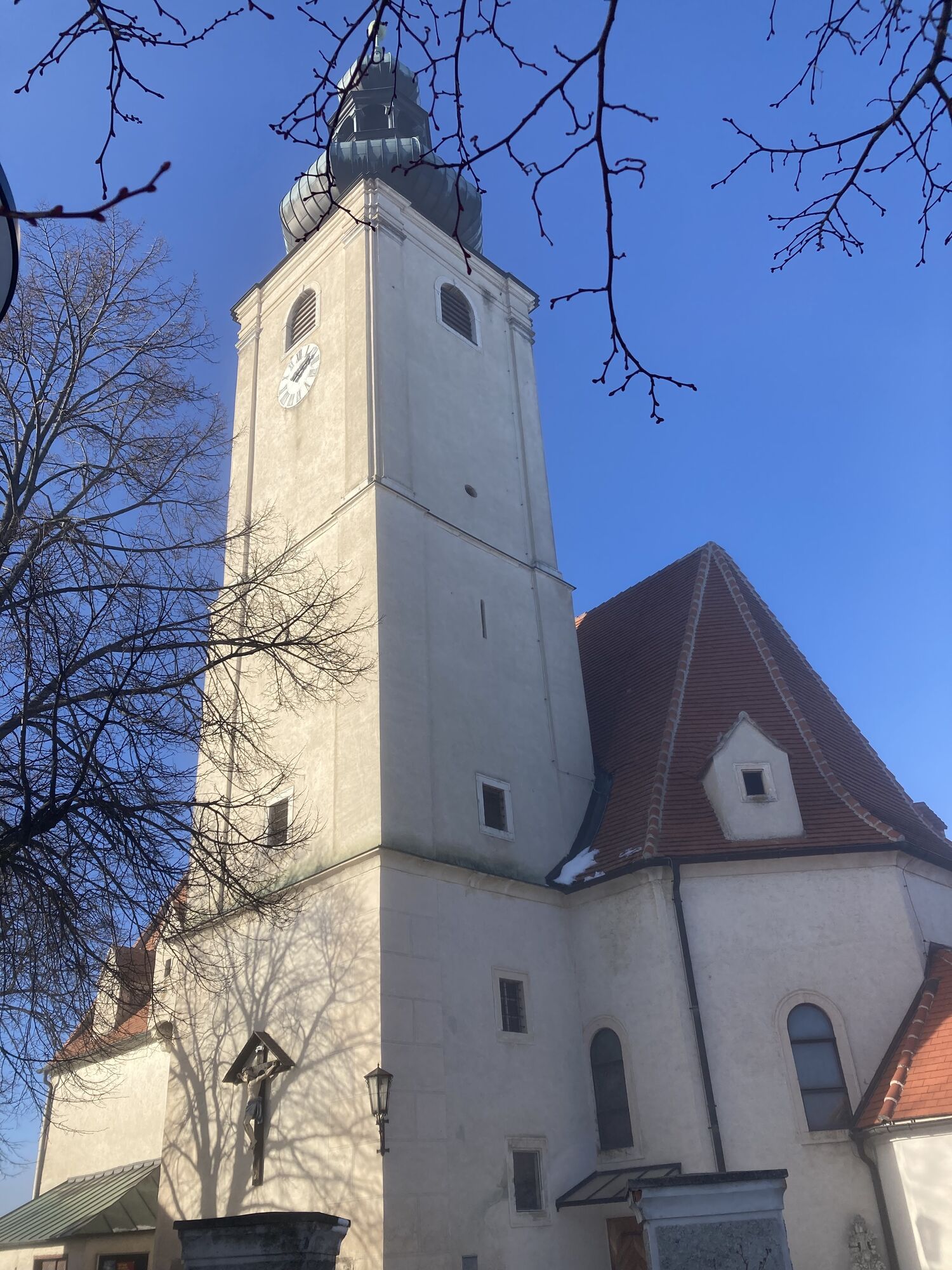
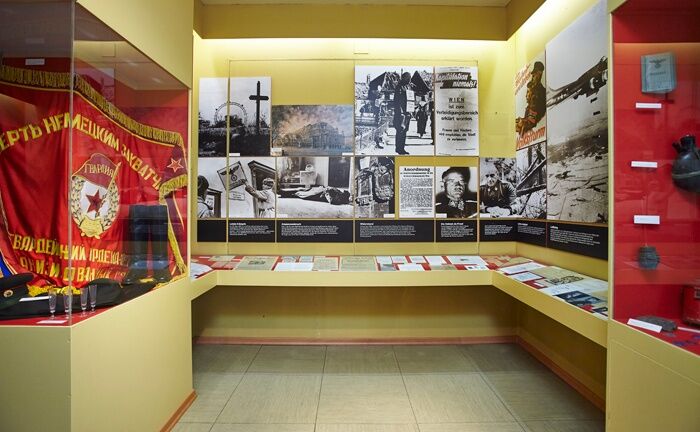

Starting from the town square in Hollenthon, follow the connecting path to the “St. Anna Route No. 7” in Wiesmath. Once you arrive in Wiesmath, follow the signs for the St. Anna Route. Follow Wiener Neustädter Straße, then take Stadtweg, always following the road as it curves, and continue along Wiesmather Straße until you reach Hauptstraße. From there, head into the village of Hochwolkersdorf; the memorial room is located on Hauptstraße. To return, head back toward the Annaroute. Here, turn left onto Schwarzenbachstraße and continue along it. Before reaching Schwarzenbach, turn right toward Oberau and continue on to Hölle; then head back to Wiesmath—from there, take the connecting path via Geretschlag back to Hollenthon.
We recommend wearing a bike helmet on rides. Wear appropriate clothing and sturdy shoes. Be sure to bring rain gear and sun protection. Bring plenty to drink.
When choosing a route, make sure it matches your experience and fitness level. Check the weather forecast in advance.
If you're coming from Vienna, take the A2 to the Wiener Neustadt interchange and merge onto the S4. Take the Wiener Neustadt-Süd exit. Follow the B54 and turn onto the L142 (Bromberger Straße). Continue along this road until you reach the L144 near Schlatten. Then take the L4101 to Hollenthon.
Coming from Graz, take the A2 to the Aspang exit and follow the L4197. Then follow the L145. At Lichtenegg, take the L4101 to Hollenthon.
Bus Line 380 from/to Wiener Neustadt Main Station
For more information, visit fahrplan.oebb.at and use the route planner.
Parking near the sports field
Person responsible for the content of this tour
Vienna Alps in Lower Austria
Last update: 14.10.2025
As part of the Radl-Roas event on July 17, there will be free guided tours of the memorial room.
Kamery internetowe z trasy
Uzyskaj wgląd
Zawsze na żywo z ponad 9 500 kamer internetowych. bergfex Jako użytkownik Pro, możesz teraz zobaczyć odpowiednie kamery internetowe dla wielu wycieczek w aplikacji wycieczki od. Pozwala to na bezpośredni podgląd aktualnych warunków.
Popularne wycieczki w okolicy
-
4,5
Bucklige Welt: Auf dem Pittentaler Klettersteig zum Türkensturz
średniVia ferrata 1,96 km -
4,8
Seebenstein - Türkensturz - Burg Seebenstein
światłoWędrówka 7,50 km -
4,3
Türkensturz Rundwanderung
średniWędrówka 2,56 km -
4,6
Naturlehrpfad Katzelsdorf
światłoWędrówka 3,81 km -
4,5
To the Wiesen/Lanzenkirchen observation tower from the Rosalia
światłoWędrówka 4,25 km -
4,2
Türkensturz große runde
średniWędrówka 11,4 km -
4,6
Gespitzter Riegel - Bad Sauerbrunn
światłoWędrówka 8,85 km -
4,6
Forchtenstein-Rosalienkapelle
światłoWędrówka 7,86 km -
4,9
Türkensturz
światłoWędrówka 6,31 km -
4,0
Rosalia: Lanzenkirchen - Aussichtsturm
światłoWędrówka 11,1 km
Wędrówki i tropienie


Nie przegap ofert i inspiracji na następne wakacje
Twój adres e-mail została dodana do listy mailingowej.





