







Around Kreuzenstein Castle
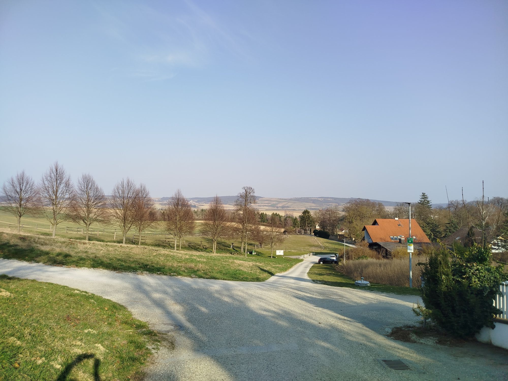
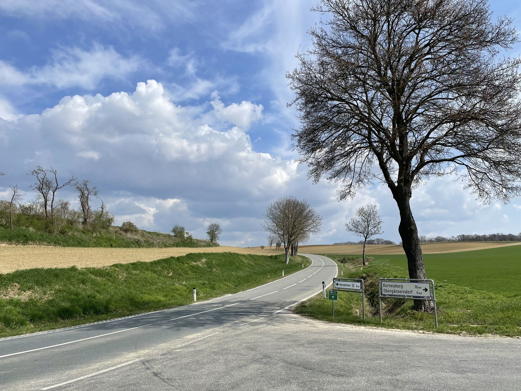
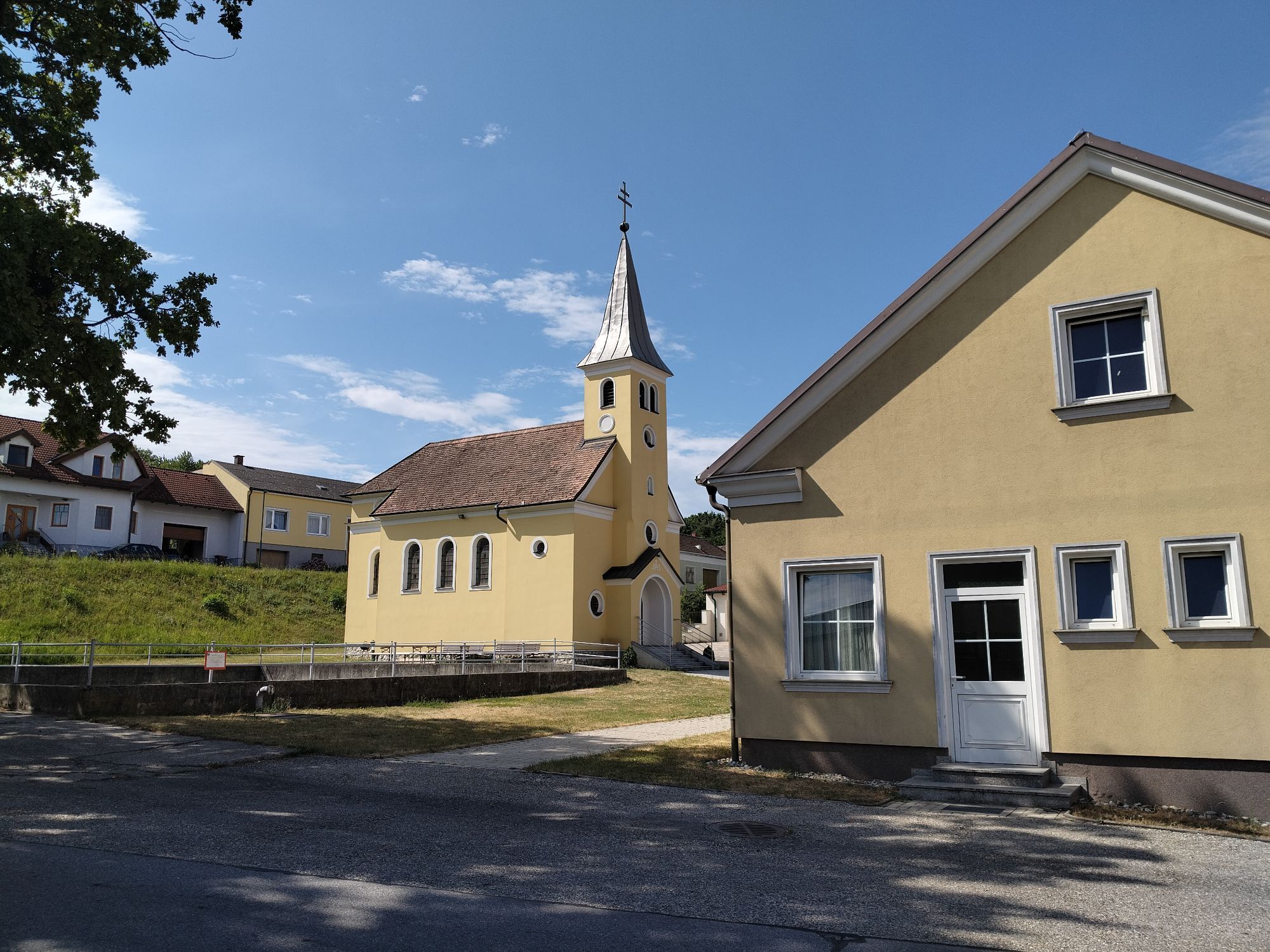
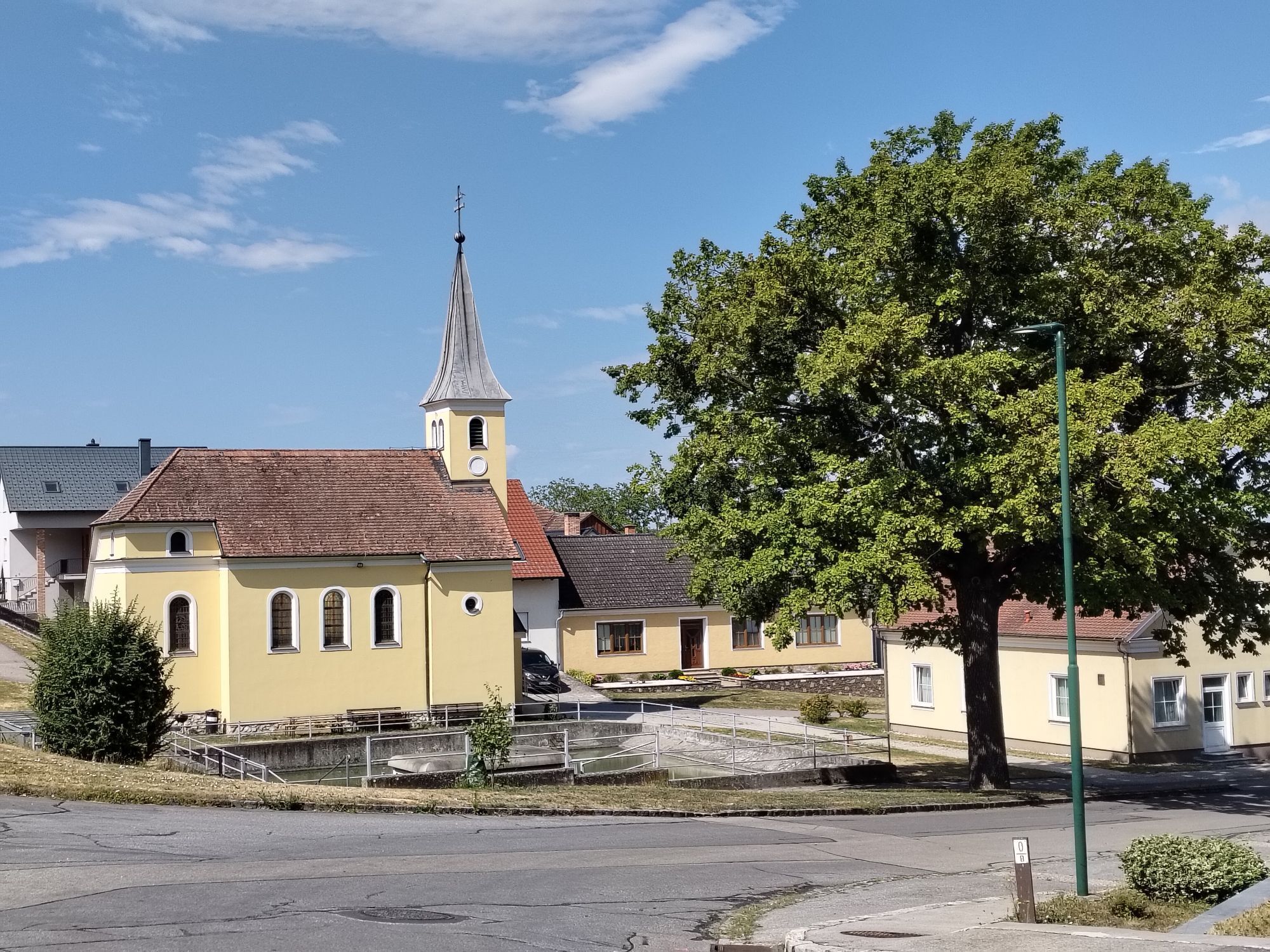
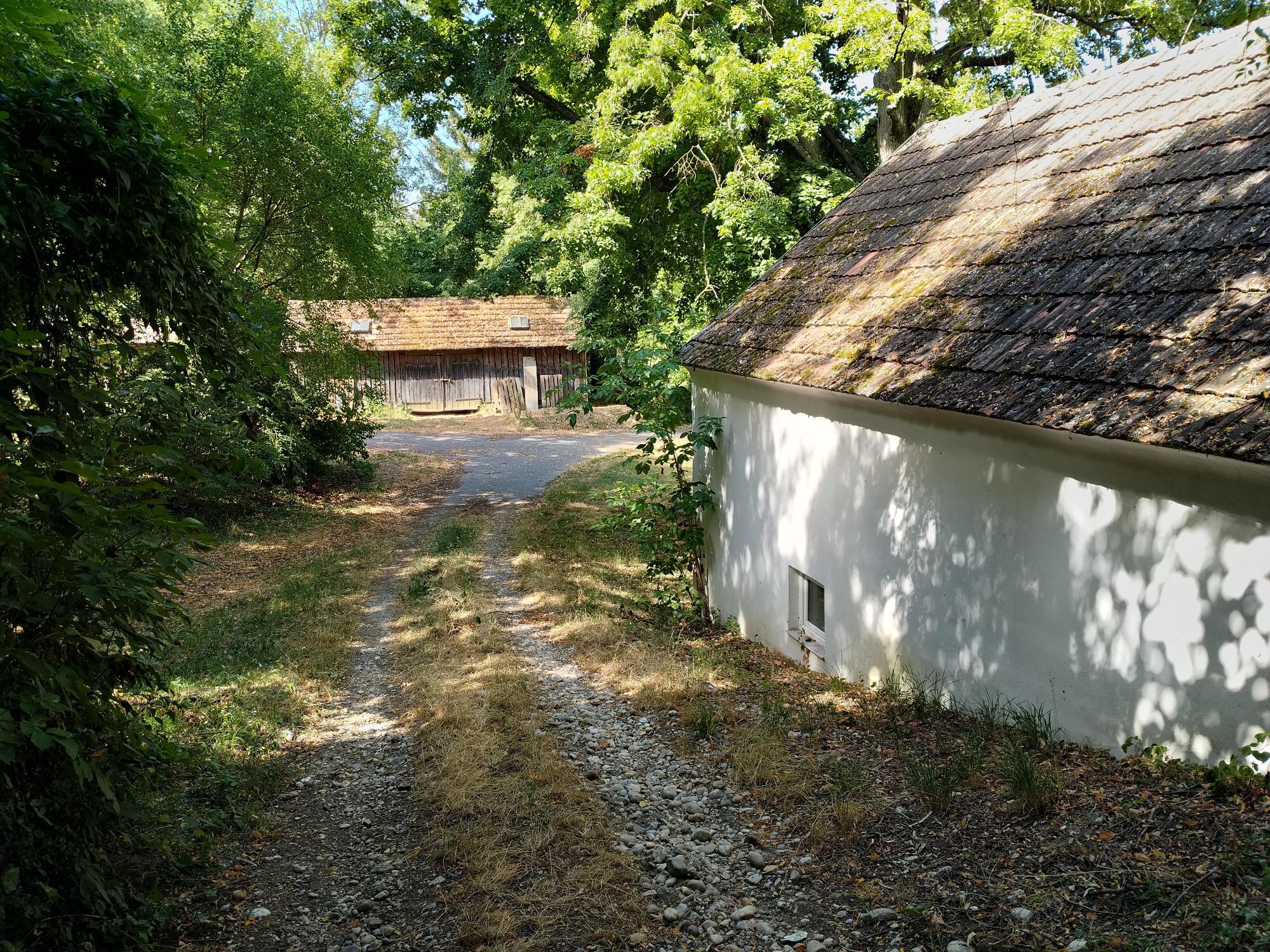
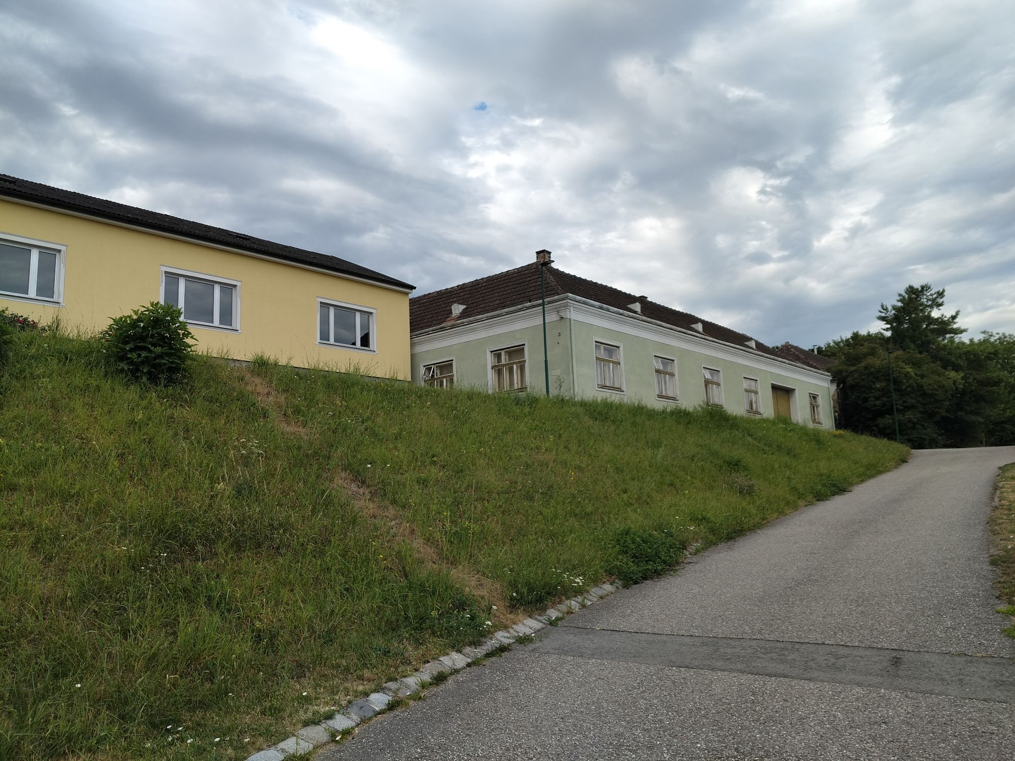
A circular tour just outside Vienna takes you from Stockerau with picturesque views of Kreuzenstein Castle, northwards through the Rohrwald forest to Niederhollabrunn. Refreshing and relaxing, the route...
A circular tour just outside Vienna takes you from Stockerau with picturesque views of Kreuzenstein Castle, northwards through the Rohrwald forest to Niederhollabrunn. Refreshing and relaxing, the route continues into the Kreuttal valley and then southwards to Leobendorf, passing Kreuzenstein Castle again. A fantastic tour that combines culture, relaxation and enjoyment.

The cycling route "Around Kreuzenstein Castle" takes you through the communities of Stockerau, Niederhollabrunn, Leitzersdorf, Großrußbach, Kreuttal, Harmannsdorf-Rückersdorf, Leobendorf, and Spillern.
Due to the good train connection, this route is easily accessible and, if needed, you can also cycle only sections of the route.
The starting point of this route is the train station in Stockerau (bike rental at the station). From here, the route goes clockwise northwards to Leitzersdorf.
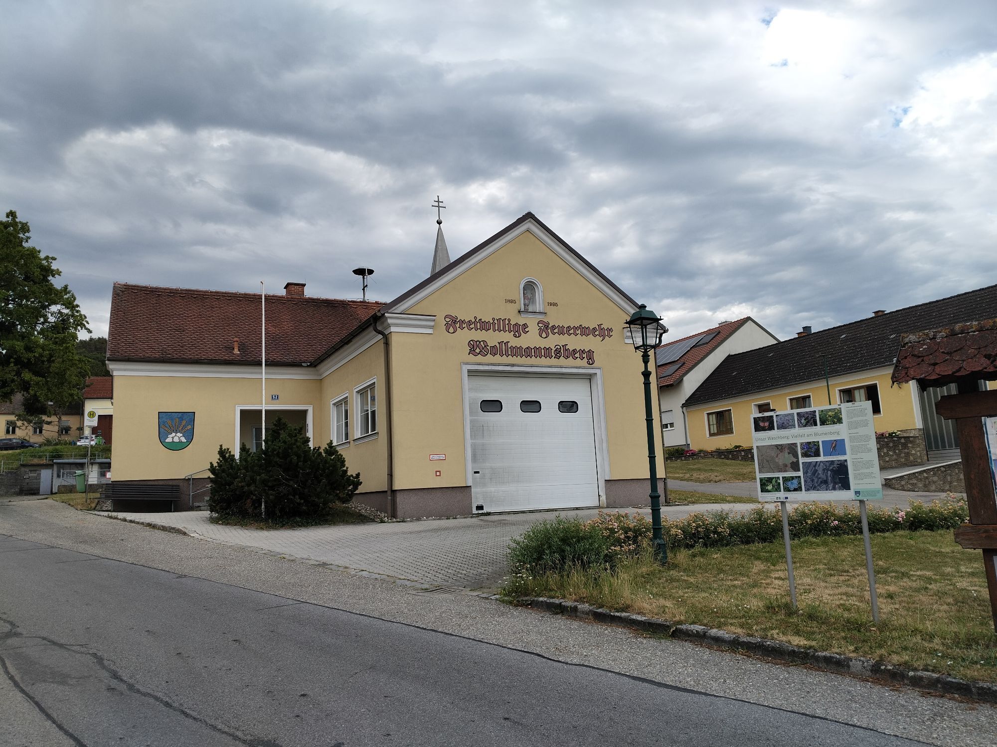
Regularly, the route leads you from Leitzersdorf further via Wollmannsberg and Haselbach to Niederhollabrunn. Here, a short detour to the drinking fountain at the municipal office is recommended. The route continues through gently rolling landscape via Karnabrunn to Weinsteig and past Würnitz further to Mollmannsdorf, Kleinrötz, and Harmannsdorf. After Tresdorf, it goes on to Leobendorf, where one of the local wine taverns offers a chance to refresh. Via Unterrohrbach, it continues to Spillern and back to the starting point in Stockerau.
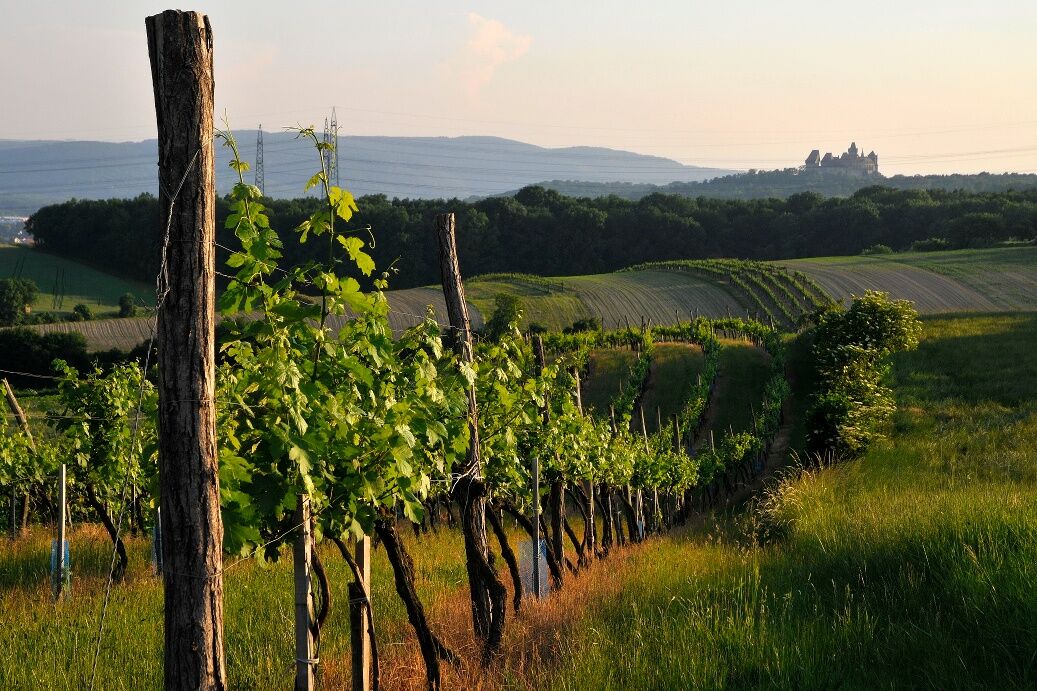
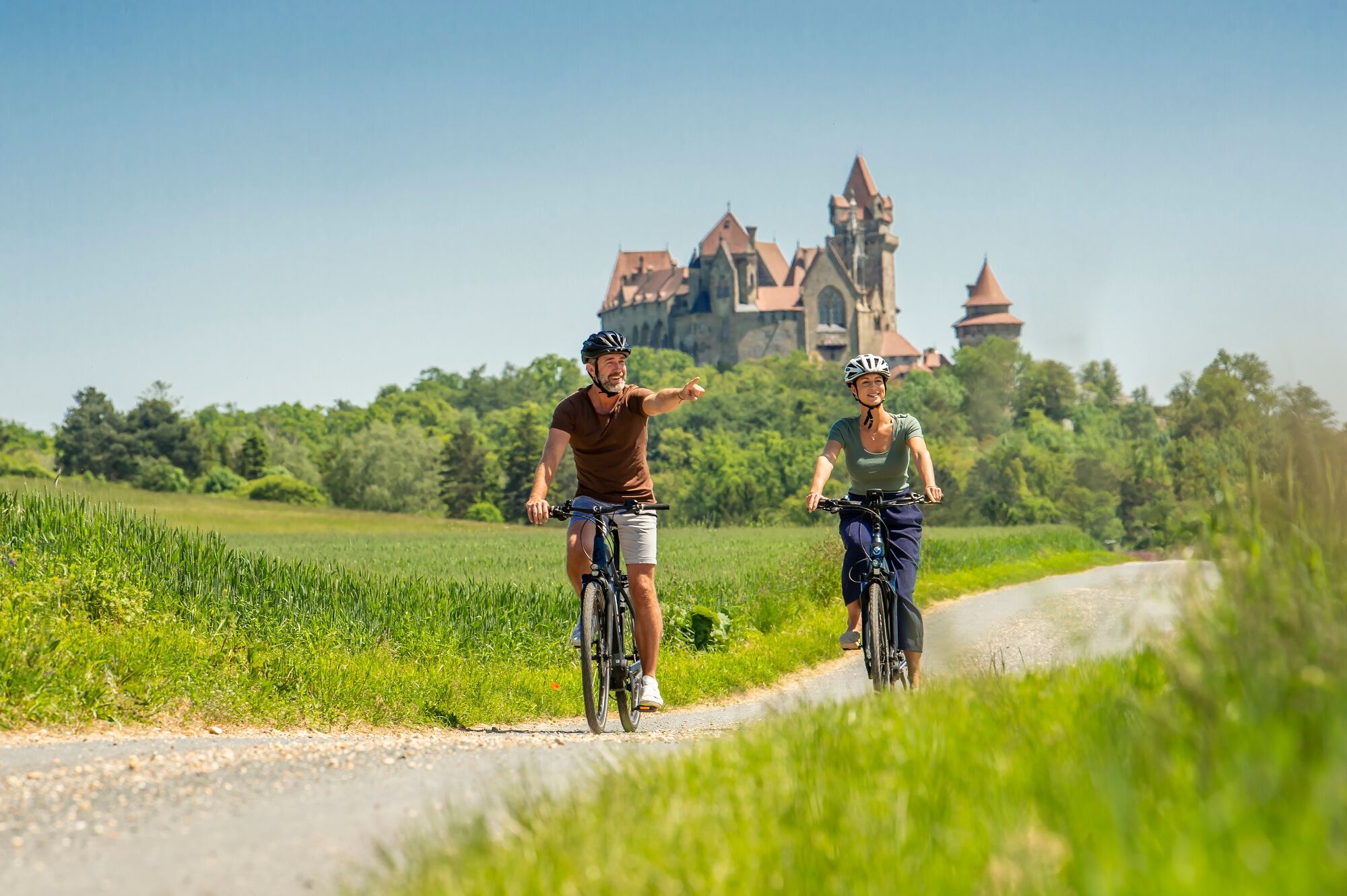
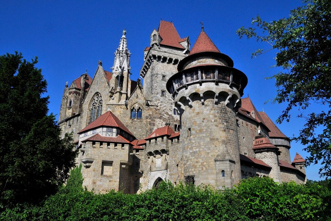
Along the entire way, you have the opportunity to catch a view of the impressive Kreuzenstein Castle. This medieval castle was rebuilt as a show castle in the 19th century after it had fallen into ruin. Today, you can visit a medieval kitchen, the largest private armory of Austria, and many more medieval exhibits here. A visit is definitely worthwhile!
By car, Stockerau is accessible via the A22 motorway and the B3 federal road.
Stockerau can be reached by train both coming from Retz and from Vienna.
Parking spaces are available directly at the train station.
In the Weinviertel, there are over 100 cycling partner businesses that are especially attentive to the needs of cyclists.
You can find a list of all businesses on our website.
Using the filter function, you can conveniently display the businesses of the desired cycling route.
Another filter allows you to search for suitable accommodation or a suitable gastronomy business.
The route is signposted in both directions and can thus also be cycled individually in other variations. A visit to Kreuzenstein Castle is highly recommended, as well as a detour to the Fossil World in Stetten.
Uzyskaj wgląd
Zawsze na żywo z ponad 9 500 kamer internetowych. bergfex Jako użytkownik Pro, możesz teraz zobaczyć odpowiednie kamery internetowe dla wielu wycieczek w aplikacji wycieczki od. Pozwala to na bezpośredni podgląd aktualnych warunków.

Popularne wycieczki w okolicy
-
4,5
Stadtwanderweg 5 Bisamberg (lt. Beschilderung)
światłoWędrówka 10,5 km -
4,5
Wien: Bisamberg - Elisabethhöhe
Wędrówka 7,69 km -
4,9
»feel good« hiking trail Ulrichskirchen-Schleinbach | Route 3
światłoWędrówka 8,64 km -
4,0
Burg Kreuzenstein Doggo Rundweg
światłoWędrówka 6,90 km -
4,6
Michelberg über Schauerkreuz und Rohrbach
średniWędrówka 15,4 km -
3,7
Doggotour auf die Elisabethhöhe
średniWędrówka 4,17 km -
3,8
Zu Silvester von Hagenbrunn auf den Bisamberg - Angelos Touren
światłoWędrówka 9,97 km -
4,2
Rundweg Goldenes Bründl Parkplatz - Waschberg - Michelberg - retour
średniWędrówka 11,4 km -
5,0
BISAMBERG Singletrail-Orgie kurz
średniMountainbike 27,5 km -
3,8
From the inn Goldenes Bründl to the Steinberg-"canyon" and to the Michelberg and back
światłoWędrówka 10,3 km
Wędrówki i tropienie


Nie przegap ofert i inspiracji na następne wakacje
Twój adres e-mail została dodana do listy mailingowej.





