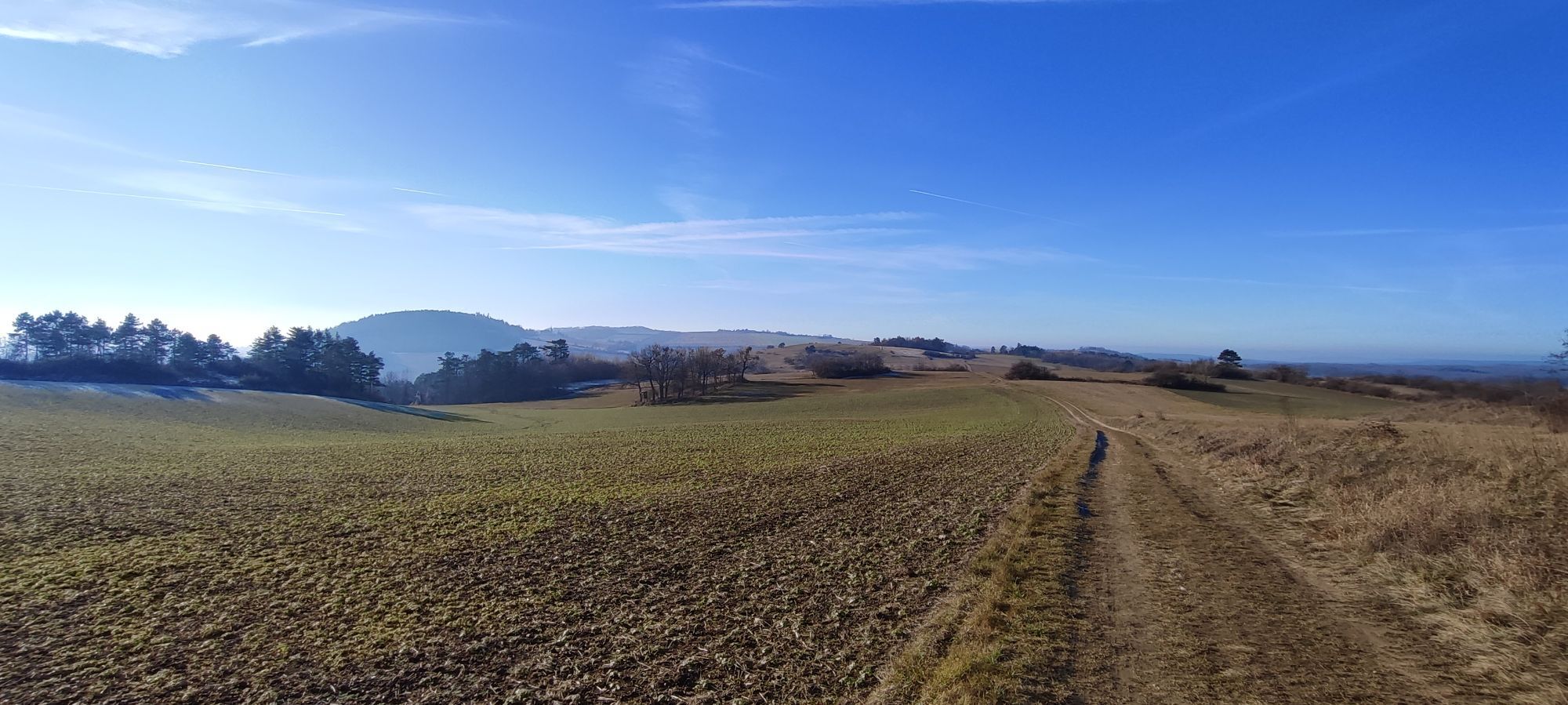
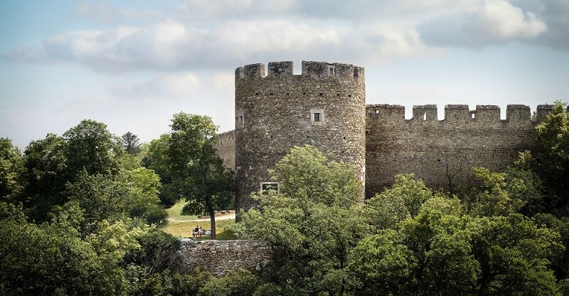
Nawigacja
Pobierz tę trasę na swój telefon komórkowy
Mapa
Cycle route 7 (Eggenburg - Dürnkrut)

ciężki
Jazda na rowerze
116,17 km
Zeskanuj kod QR i rozpocznij nawigację w aplikacji bergfex.
QR Code
Wędrówki i tropienie

Cycle route 7 (Eggenburg - Dürnkrut)
ciężki
Jazda na rowerze
Odległość
116,2 km
Czas trwania
08:11 h
Ascent
650 hm
Poziom morza
148 - 426 m
Ścieżka do pobrania
Mapa
Cycle route 7 (Eggenburg - Dürnkrut)
ciężki
Jazda na rowerze
116,17 km

Cycle route 7 starts in Eggenburg at the train station and continues into the beautiful wine region around Röschitz and Roseldorf. From there, you cross Sitzendorf an der Schmida and cycle north past Hollabrunn...

Opis

Cycle route 7 starts in Eggenburg at the train station and continues into the beautiful wine region around Röschitz and Roseldorf. From there, you cross Sitzendorf an der Schmida and cycle north past Hollabrunn through Schöngrabern. After leaving Eggendorf and Enzersdorf im Thale behind you, you cross the large forest area of the Leiser Berge and come to Ernstbrunn. From there, the tour continues via Ladendorf to Gaweinstal. In Hohenruppersdorf you can plan a visit to a wine tavern before reaching the end of the tour via Velm-Götzendorf to the beautiful March in Dürnkrut.

Trasa
Mariae Geburt
(249 m)
Miejsce kultu
12,7 km
Goggendorf
(242 m)
Wioska
16,0 km
Schellenberg
(365 m)
Szczyt
48,9 km
Semmelberg
(391 m)
Szczyt
63,8 km
St. Markus
(235 m)
Miejsce kultu
74,0 km
St. Martin
(194 m)
Miejsce kultu
96,3 km
Cholerakapelle
(154 m)
Miejsce kultu
113,0 km
Trasa
Mapa
Cycle route 7 (Eggenburg - Dürnkrut)
ciężki
Jazda na rowerze
116,17 km
Eggenburg
(353 m)
Stacja kolejowa
0,0 km
Martinskapelle
(324 m)
Miejsce kultu
0,7 km
Eggenburg
(325 m)
Miasto
0,8 km
Stoitzendorf
(270 m)
Wioska
6,2 km
Mariae Geburt
(249 m)
Miejsce kultu
12,7 km
Roseldorf
(249 m)
Wioska
12,9 km
Pfannhauser
(251 m)
Restauracja
13,0 km
Braunsdorf
(248 m)
Wioska
14,0 km
Goggendorf
(242 m)
Wioska
16,0 km
Sitzendorf an der Schmida
(239 m)
Wioska
18,5 km
Pranhartsberg
(286 m)
Wioska
21,5 km
Obergrabern
(261 m)
Wioska
23,9 km
Schöngrabern
(250 m)
Wioska
30,0 km
Hübelgrund
(249 m)
Sąsiedztwo
30,9 km
Aspersdorf
(225 m)
Wioska
33,8 km
Kleinstetteldorf
(239 m)
Wioska
38,4 km
Eggendorf im Thale
(246 m)
Wioska
39,8 km
Altenmarkt im Thale
(247 m)
Wioska
41,9 km
Maria Königin
(248 m)
Miejsce kultu
42,5 km
Kleinkadolz
(276 m)
Wioska
46,4 km
Geißberg
(354 m)
Szczyt
47,9 km
Schellenberg
(365 m)
Szczyt
48,9 km
Sauerhöhle (verschüttet)
(367 m)
Wejście do jaskini
63,2 km
Semmelberg
(391 m)
Szczyt
63,8 km
Allerseeligste Jungfrau Maria
(308 m)
Miejsce kultu
65,3 km
Dörfles
(300 m)
Wioska
65,5 km
St. Martin
(293 m)
Miejsce kultu
67,5 km
Pizzeria Speranza
(290 m)
Restauracja
67,7 km
Ernstbrunn
(287 m)
Miasto
67,7 km
Pizzeria Mama
(284 m)
Restauracja
67,9 km
Kleinsitzendorf
(234 m)
Rozliczenie
72,4 km
St. Markus
(235 m)
Miejsce kultu
74,0 km
Pürstendorf
(226 m)
Wioska
74,1 km
Eggersdorf
(213 m)
Wioska
77,3 km
Eggersdorf Stub´n
(214 m)
Restauracja
77,3 km
Neubau
(301 m)
Wioska
85,3 km
Pellendorf
(203 m)
Wioska
88,2 km
Pfarrkirche Gaweinstal
(199 m)
Miejsce kultu
91,1 km
Gaweinstal
(192 m)
Wioska
91,2 km
Klein-Harras
(184 m)
Wioska
94,8 km
St. Martin
(194 m)
Miejsce kultu
96,3 km
Martinsdorf
(192 m)
Wioska
96,6 km
Buschenschank Hess
(201 m)
Restauracja
97,2 km
Hohenruppersdorf
(207 m)
Wioska
98,1 km
Hl. Kreuz
(244 m)
Miejsce kultu
98,8 km
Spannberg
(186 m)
Wioska
106,0 km
Velm-Götzendorf
(183 m)
Wioska
109,5 km
Waidendorf
(152 m)
Wioska
112,7 km
Cholerakapelle
(154 m)
Miejsce kultu
113,0 km
Dürnkrut
(161 m)
Wioska
115,2 km
Cafe & Restaurant - Jana Knapkova
(149 m)
Restauracja
116,1 km
Informacje o wycieczce

A beautiful, challenging route that crosses the Weinviertel from west to east.

Technologia
n.d.
Stan
6 / 6
Krajobraz
6 / 6
Doświadczenie
4 / 6
Najlepsza pora roku
Sty
Lut
Mar
Kwi
Maj
Cze
Lip
Sie
Wrz
Paź
Lis
Gru
Udostępnij trasę
Mapa
Cycle route 7 (Eggenburg - Dürnkrut)
ciężki
Jazda na rowerze
116,17 km
Błąd
Wystąpił błąd. Spróbuj ponownie.
Informacje o trasie
Trasa

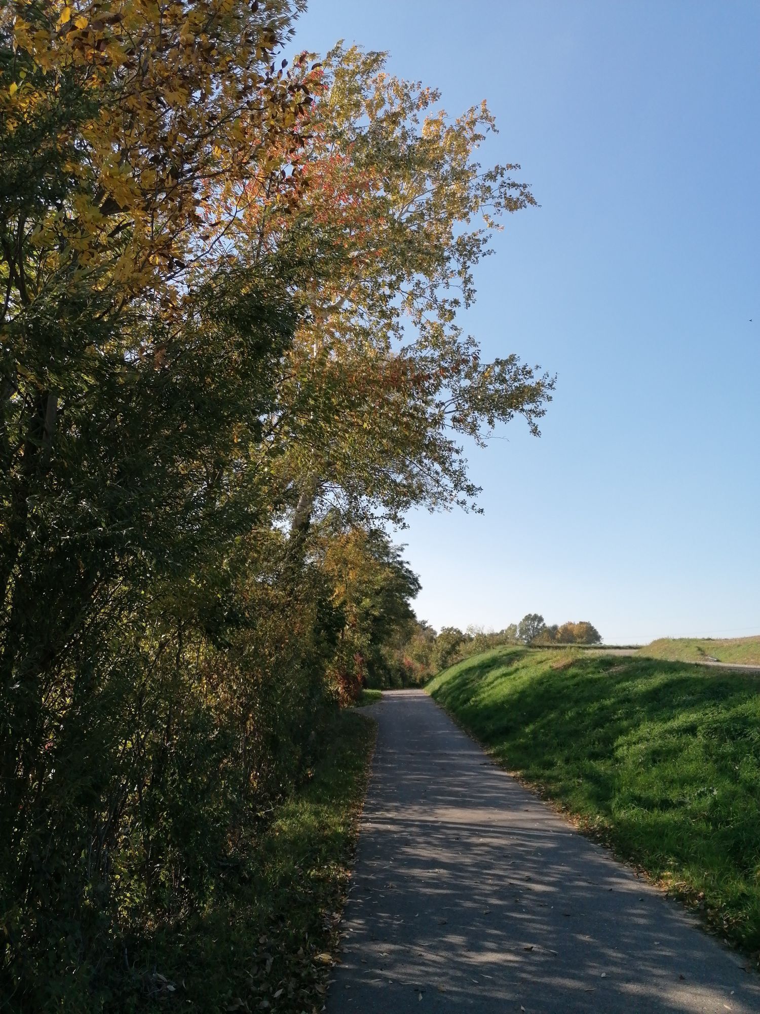
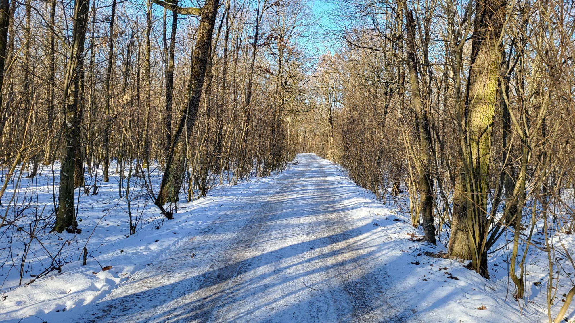
Cycle route 5 runs along the typical lightly trafficked Weinviertel agricultural paths. It is mostly paved and passes by the train stations Eggenburg, Ladendorf, and Dürnkrut.

Sprzęt

The route is suitable for any type of bicycle. From city bike, through gravel bike, to mountain bike. Gravel sections are less suitable for racing bikes.

Informacje o przyjeździe
Przybycie

From Vienna via the A22 and the B4 Hornerstraße to Eggenburg.

Transport publiczny

Along the route you can join directly at the train stations Eggenburg, Ladendorf, and Dürnkrut.

Parking

At the train station parking lots in Eggenburg and Dürnkrut.

Dodatkowe informacje i wskazówki
Dodatkowe informacje

There are over 100 bike partner businesses in the Weinviertel that cater especially to the needs of cyclists. A list of all businesses can be found on our website. Using the filter function, you can conveniently display the businesses of the desired cycling route. Another filter allows you to search for suitable accommodation or a suitable gastronomy business.

Wskazówki

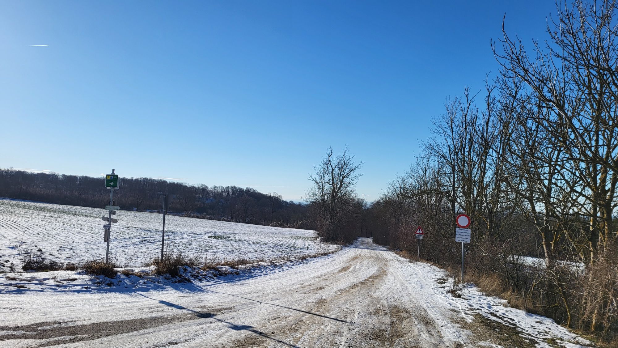
The route is signposted in both directions, so it can also be ridden from east to west.

Wędrówki i tropienie

Wędrówki i tropienie

Wędrówki i tropienie
Ponad 550.000 propozycji wycieczek, szczegółowe mapy i intuicyjny planer tras sprawiają, że aplikacja jest niezbędna dla wszystkich entuzjastów przyrody.
bergfex