







Kellergassen.rad.route

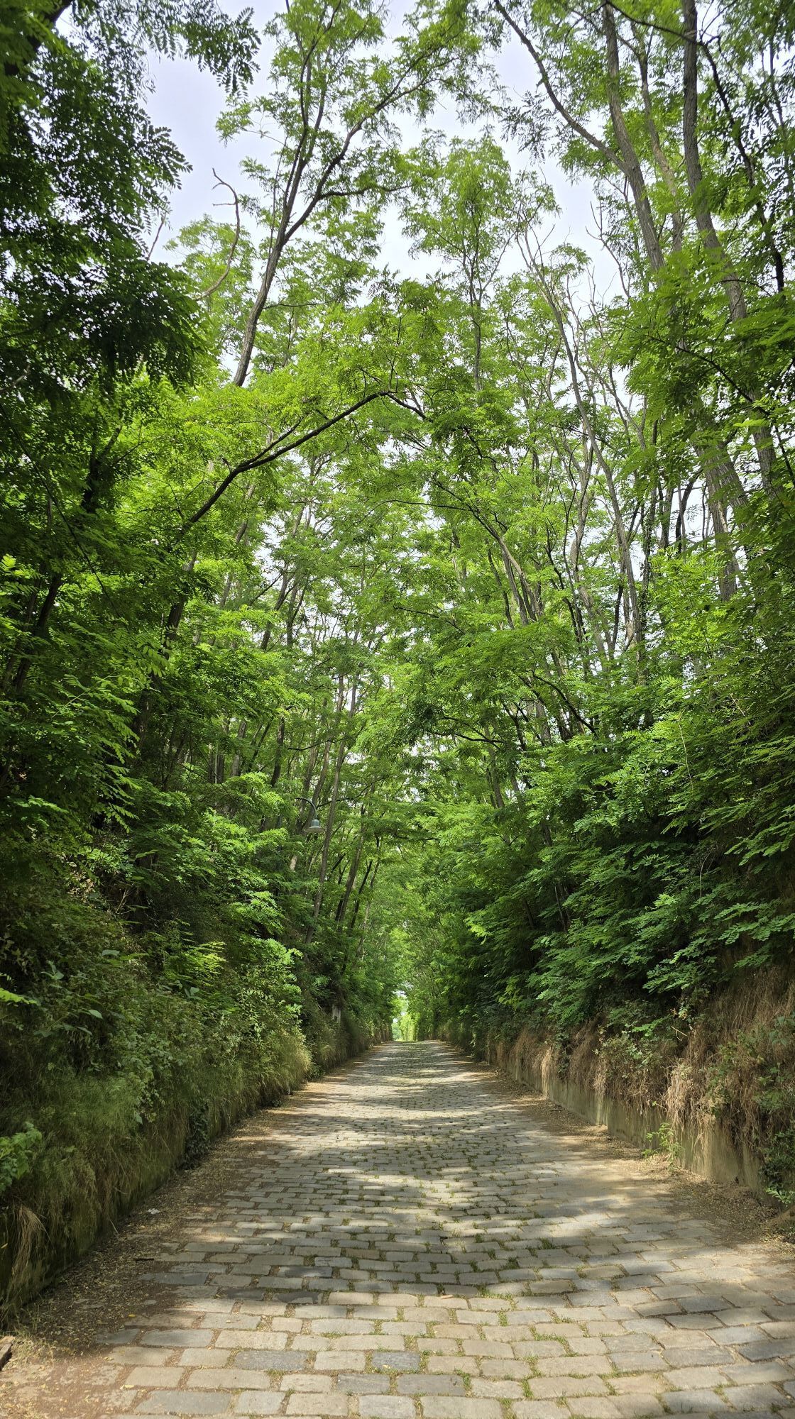
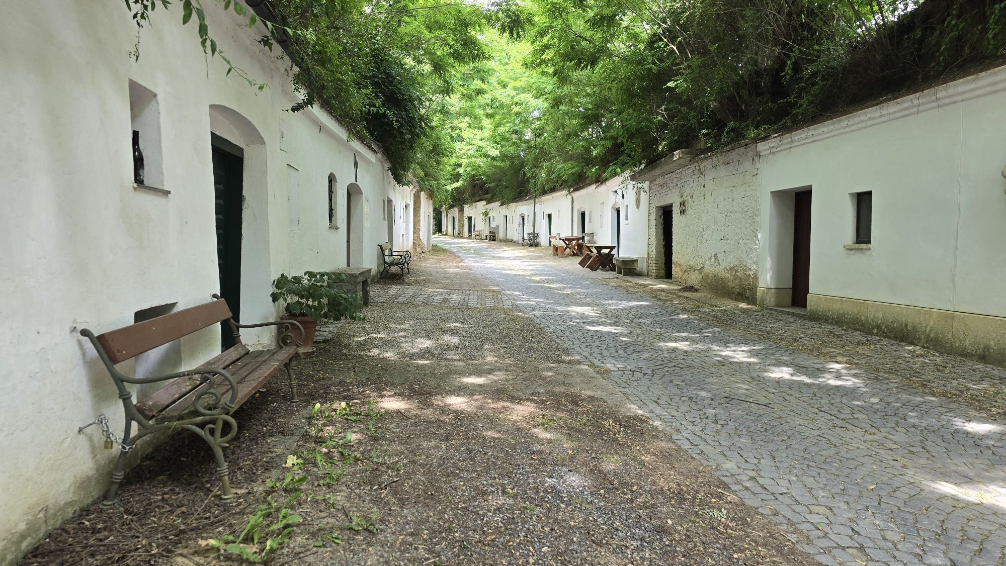
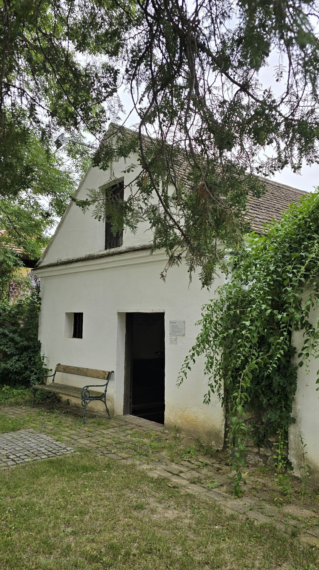
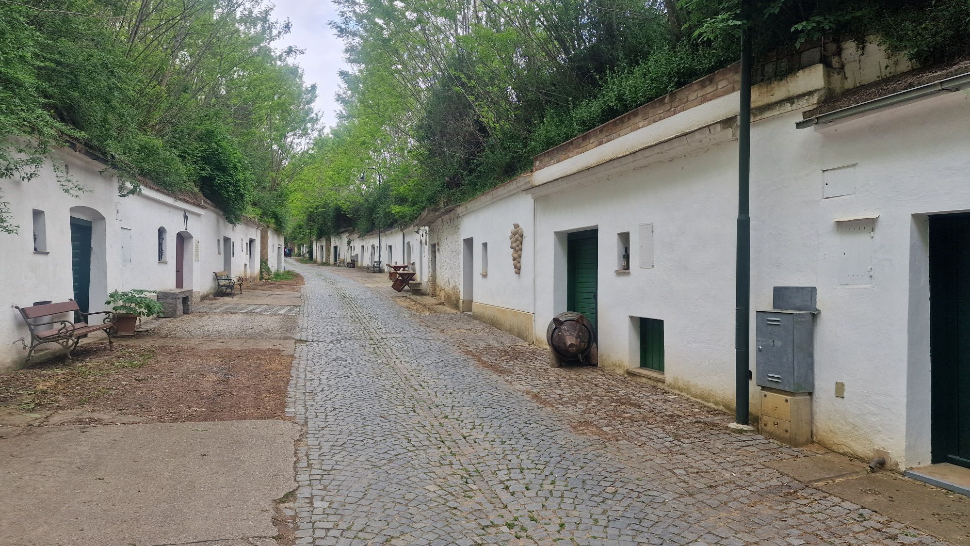
The cycle route offers plenty of variety, wildly romantic wine cellar lanes and unique views over the hilly landscape around Poysdorf. It connects some of the most beautiful wine cellar lanes in the Weinviertel...
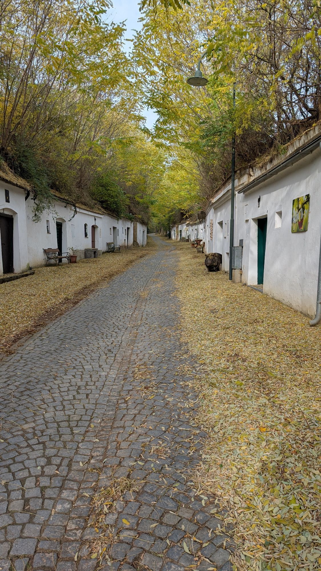
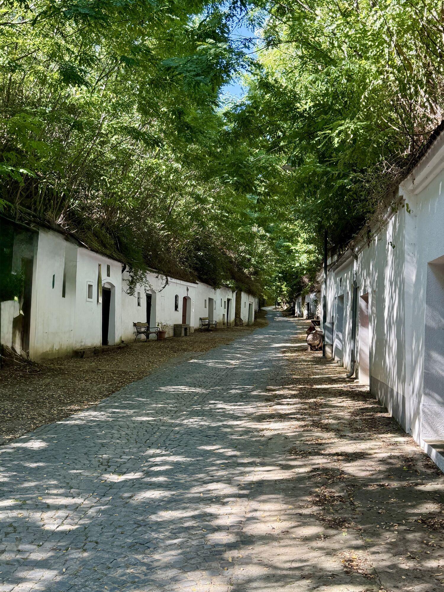
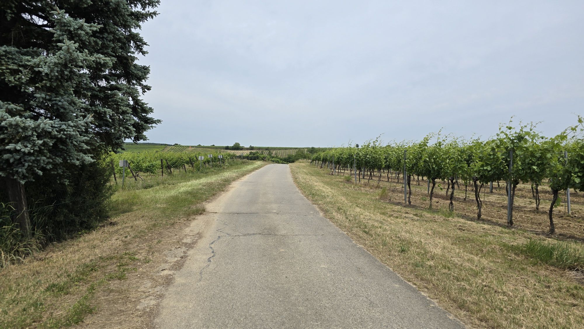
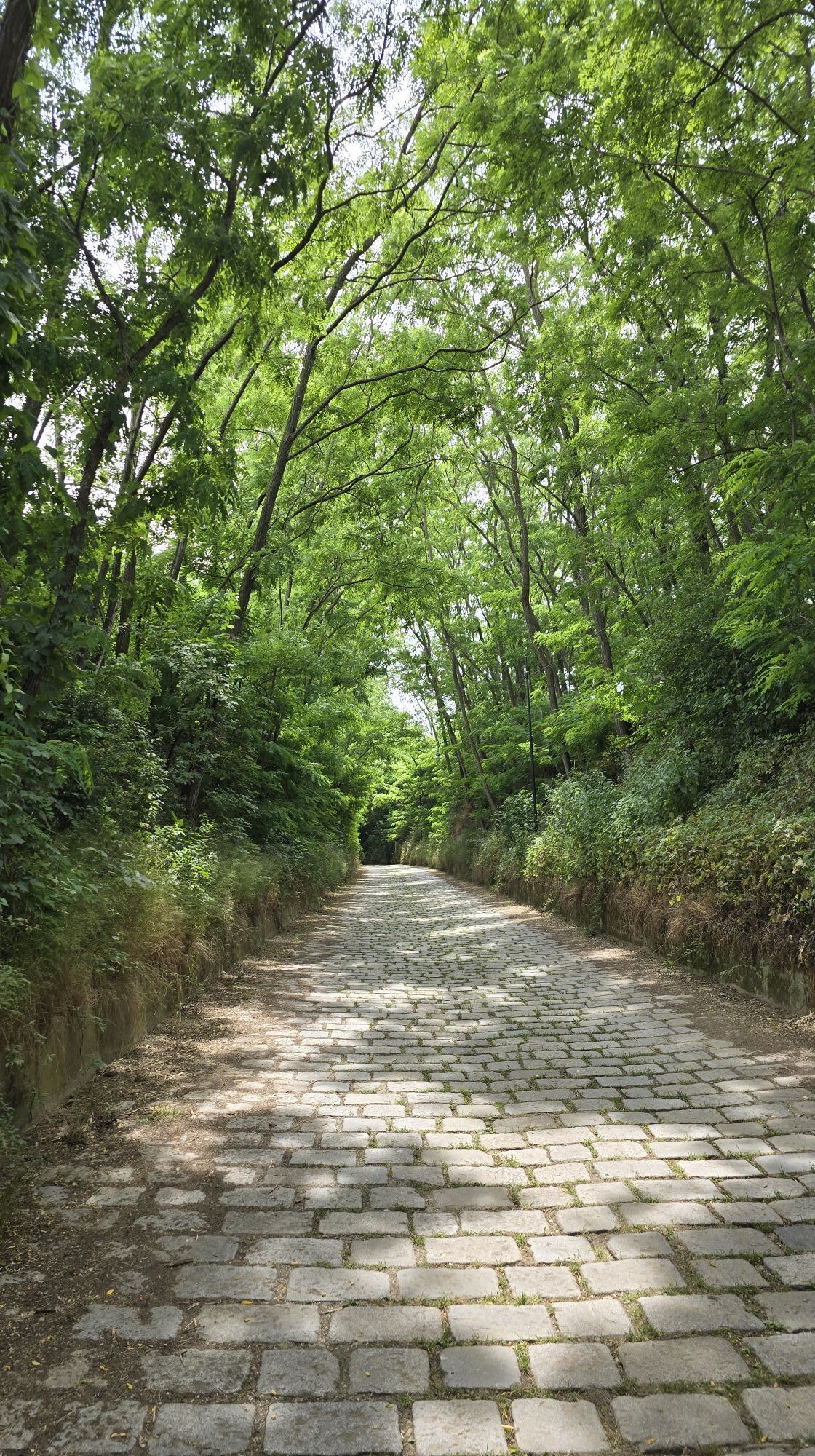
The cycle route offers plenty of variety, wildly romantic wine cellar lanes and unique views over the hilly landscape around Poysdorf. It connects some of the most beautiful wine cellar lanes in the Weinviertel and shows the diversity of our wine cellar lanes - from deep, shady hollow paths such as the Radyweg and Rösselberg to the idyllic cellar villages in Wilhelmsdorf (Folda) and Kleinhadersdorf (Grundern). A truly special feature is the "Bunte Kellergasse Schnellern" - unique in Austria.
Highlights:
- idyllic wine cellar lanes

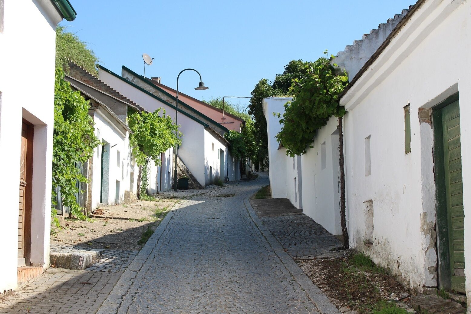
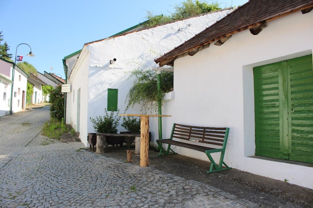
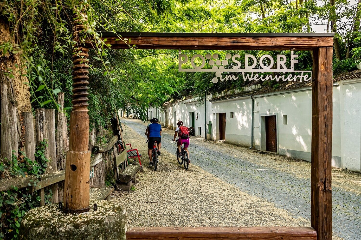
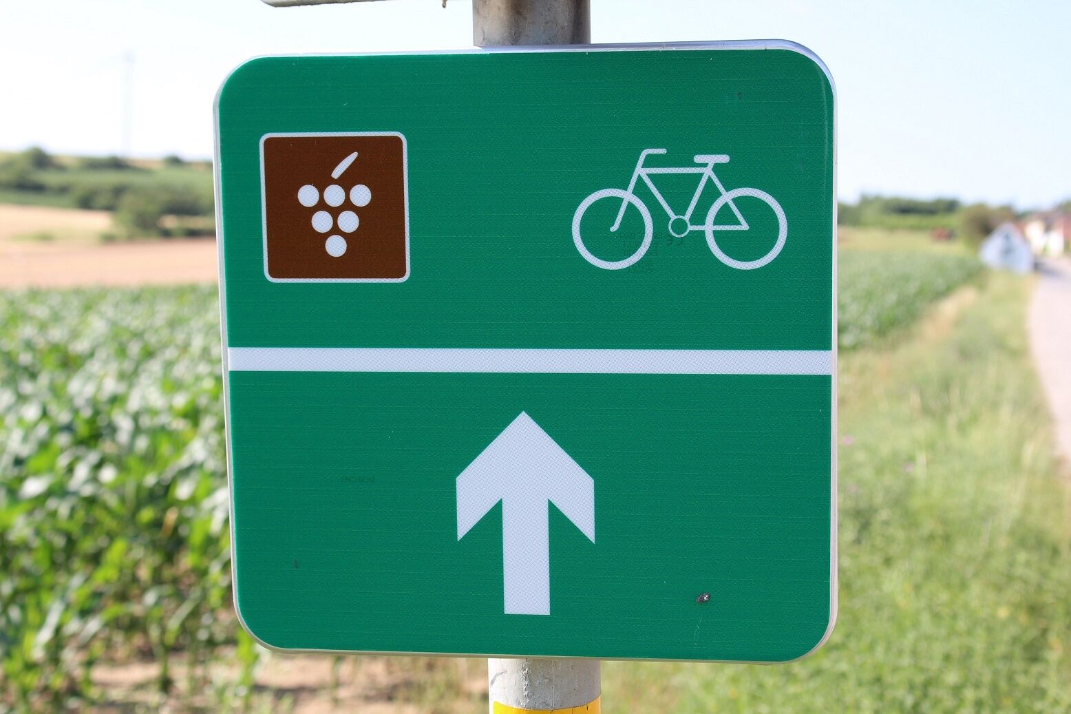

The starting point of this route is the Vino Versum in Poysdorf. Cross the federal road and turn into the "Gstettn", so you go along the cellar lane "Radyweg" to Hotel Neustifter. Shortly after the hotel, the route turns sharply left and you reach the town again via the cellar lane "Rösselberg". Past the Grazerbergschenke, you ride through Wilhelmsdorf to Kleinhadersdorf. At the church "St. Rochus" turn left and go straight on over the federal road until you reach the colourful cellar lane "Schnellern". Past numerous vineyards, the route continues to Wetzelsdorf. After you have reached the town via the Wetzelsdorf cellar lane, follow Bachstraße and later Kaiserstraße back to Poysdorf. At the Mariazeller Kreuz, turn right and follow the road. At the end of Schulstraße, at the NNÖMS Poysdorf, turn right and then immediately left. You pass through the next narrow lane on the right and go straight on until you turn into Singergasse. Then take the second lane to the right. This way you reach Kolpinghaus and behind it is also your starting point, the Vino Versum.
By car, Poysdorf is accessible via the A5 motorway.
Coming from Vienna, you must first take a bus or train to Mistelbach. From Mistelbach/Main Square there is a bus connection to Poysdorf. From Wolkersdorf there is also a bus connection to Poysdorf, but with a longer travel time.
At the starting point of the route, the parking lot of the Vino Versum Poysdorf is available
Surface: 90% asphalt, 10% cobblestone
Traffic: 20% mixed traffic, 80% heavily traffic-calmed mixed traffic
In the Weinviertel there are over 100 cycle-friendly businesses that pay special attention to the needs of cyclists. You can find a listing of all businesses on our Cycle Partner page. Using the filter function, you can conveniently display the businesses of the desired cycling route. Another filter allows you to search for suitable accommodation or a suitable gastronomy business.
Popularne wycieczki w okolicy
-
4,3
Eine „Pfefferl“-Runde über den Galgenberg ab/bis Poysdorf
średniWędrówka 15,8 km -
4,8
ALTRUPPERSDORF Galgenberg Höhlenstein Ruine Falkenstein ret. 20210224
średniWędrówka 16,7 km -
5,0
Poysbrunn - Falkenstein
światłoWędrówka 14,4 km -
4,6
Weinviertel extreme Gipfelwanderung 2024
średniWędrówka 40,8 km -
3,8
»tut gut« Wanderweg Poysdorf | Route 3
światłoWędrówka 6,06 km -
4,5
»tut gut« Wanderweg Falkenstein | Route 2
światłoWędrówka 4,99 km -
5,0
»tut gut« Wanderweg Poysdorf | Route 2
średniWędrówka 11,4 km -
2,3
Veltliner-Radtour
Jazda na rowerze 75 km -
5,0
»tut gut« Wanderweg Mistelbach| Route 3
światłoWędrówka 6,80 km -
4,3
Panoramawanderweg Gaubitsch ("Tut gut"-Schritteweg)
światłoWędrówka 6,20 km

Wędrówki i tropienie


Nie przegap ofert i inspiracji na następne wakacje
Twój adres e-mail została dodana do listy mailingowej.





