


Bike Tour Recommendation - Wine Experience Tour Schmidatal SOUTH
Zdjęcia naszych użytkowników
The Schmidatal offers visitors a wonderful landscape full of experiences and relaxation. In Heldenberg you have the opportunity to watch graceful horses at the Lipizzaner training center, immerse yourself...
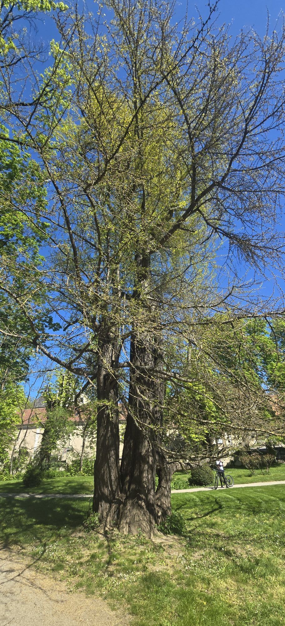
<p>The Schmidatal offers visitors a wonderful landscape full of experiences and relaxation. In Heldenberg you have the opportunity to watch graceful horses at the Lipizzaner training center, immerse yourself in the past at the Stone Age village, or simply enjoy a good glass of wine in the LPSM Vinothek.</p><p>The tour follows the Schmida into the Schmidatal-Manhartsberg landscape park. Starting from the village Radlbrunn near Ziersdorf, where the cultural life of the Weinviertel is kept alive at the 800-year-old Brandlhof, continuing to Hohenwarth-Mühlbach, the "western gateway to the Weinviertel" and birthplace of the dialect poet Joseph Misson, the tour then leads along the Manhartsberg to Ravelsbach with its baroque Jakob Prandtauer Church.</p><p>A special feature in this transitional landscape from the Waldviertel to the Weinviertel is the "Amethyst City" Maissau. Much here is dyed violet in color; the reason for this can be found at the Amethyst World.</p>

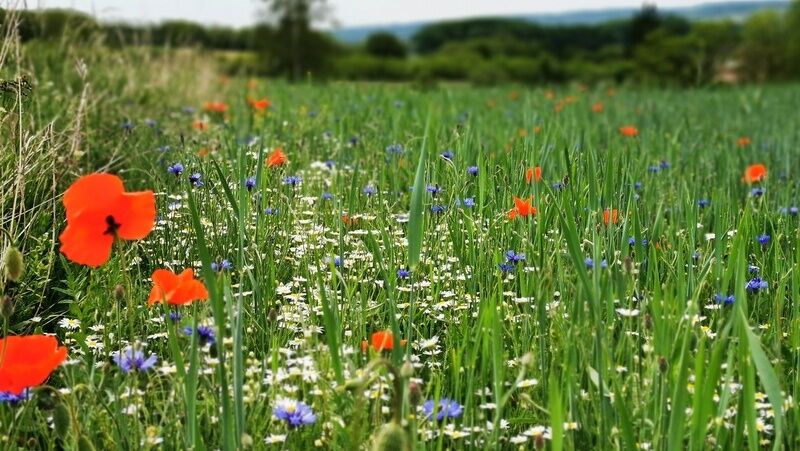
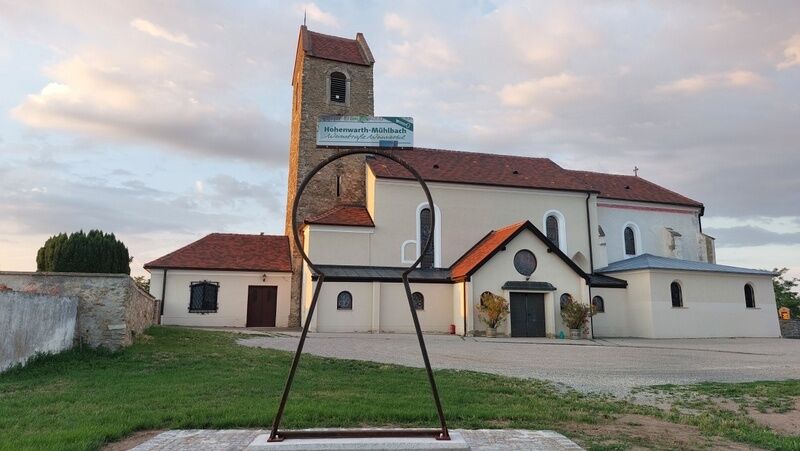
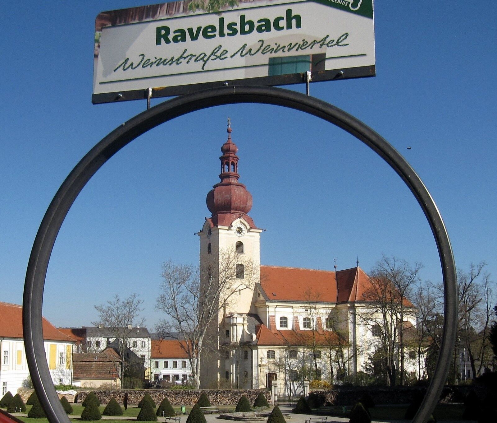
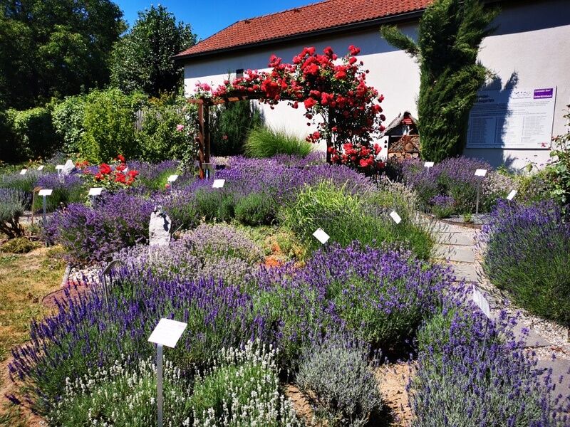
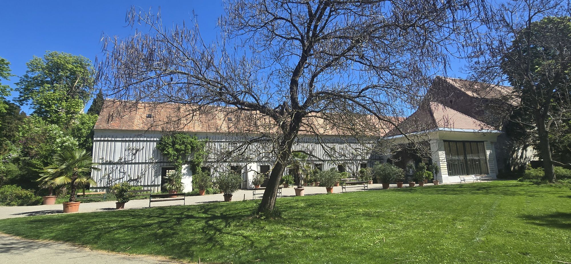
<p>The tour starts at the train station in Ziersdorf. You cycle through the town in a southern direction towards Glaubendorf. Here you go under the B4 and follow the road until you leave the village again after crossing the railway. This is followed by a beautiful – partly unpaved – route with wonderful views, lined by vineyards and fields.</p><p>The next village is Radlbrunn with the well-known cultural venue Brandlhof. You cycle further along the L1251, past Ebersbrunn, until you turn left onto the L43 and arrive at Hohenwarth. At the start of this well-known wine village, turn left immediately, where the road briefly goes downhill. Here you make a loop through the town center and come out again at the former fortified church.</p><p>The route continues to Mühlbach am Manhartsberg. The village is home to the birthplace of the dialect poet Joseph Misson and the privately owned Mühlbach castle with its beautiful castle park including an orangery. You leave the village heading north and cycle across the fields to Zemling, Eggendorf am Walde, and Grübern with the Amethyst Chapel. Then follows Wilhelmsdorf, where you should visit the large herbal spiral.</p><p>Via Oberravelsbach you get to Ravelsbach, where the Jakob Prandtauer Church is located in the center. It is recommended to make a detour to the Baroque Garden to take a photo in front of the giant keyhole. The next stop is the amethyst town Maissau with its impressive Amethyst World, where you can visit the amethyst mine, the gemstone house, or the amethyst park.</p><p>The following villages are Oberdürnbach and Unterdürnbach with the fragrant lavender show garden, which hosts over 100 different lavender varieties. Continuing to Minichhofen, you turn right and after passing the Gilli mill arrive at Gaindorf. After leaving the village, the route runs parallel to the Horn federal road B4 towards Ziersdorf. However, just before the town, you turn right and reach Großmeiseldorf. After this village, the route crosses the fields again to Radlbrunn. Here you keep left and take the L1251 to Ziersdorf. A short passage through the town and you have reached your destination, the train station.</p>
Person responsible for the content of this tour
Weinstraße Weinviertel West
Last updated: 20.03.2025
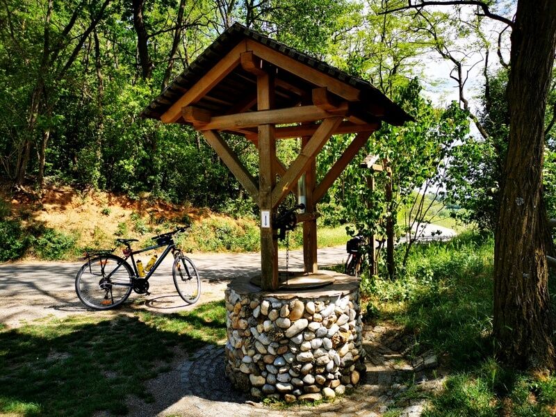
The RADTOURENEMPFEHLUNG WEINERLEBNISTOUR SCHMIDATAL SÜD is not signposted as such but is a connecting route of cycle paths, field paths, and roads with low traffic. The route is mostly asphalted and includes no major climbs.
There are over 100 bike-friendly businesses in the Weinviertel that are especially attentive to cyclists' needs.
The route is suitable for trekking bikes, mountain bikes, and gravel bikes.
The route is not signposted as such. However, the WEINfinder app will guide you on the right path.
Of course, the bike tour can also be started at any location.
If you arrive by car, we recommend starting the tour in Heldenberg. From here a signposted "Weinerlebnistour Schmidatal" leads to Ziersdorf, from where you can then properly start the tour using navigation. Allow enough time so you can also visit the attractions at Heldenberg – such as the Radetzky memorial, the English Garden, the Oldtimer Museum, or the LPSM Vinothek.
Take plenty of time for the tour, as there are many places to visit along the way: photo points, key experiences, and insider tips. You can explore these with the WEINfinder app and be guided by navigation.
Popularne wycieczki w okolicy
-
4,7
Wine and Water Round to the Kamptalwarte on Heiligenstein, no. 65
średniWędrówka 9,93 km -
4,5
Gaisberg-Rundwanderweg Straß im Straßertale
światłoWędrówka 8,18 km -
4,8
Kellergassen-Tour
ciężkiJazda na rowerze 38,3 km -
4,0
Weinwanderweg Wetzdorf
światłoTrasa tematyczna 6,51 km -
3,8
W3 Löss-Tour
średniJazda na rowerze 38,6 km -
4,0
Rivaner-Radtour
Jazda na rowerze 54 km -
4,5
Zweigelt Tour
średniMountainbike 34,5 km -
4,3
Manhardsberg & Naturlehrpfad
światłoWędrówka 8,17 km -
4,5
Kamptalwarte von Langenlois aus
średniWędrówka 9,15 km -
4,5
Von Feuersbrunn zur Engabrunner Warte
światłoWędrówka 7,68 km

Wędrówki i tropienie


Nie przegap ofert i inspiracji na następne wakacje
Twój adres e-mail została dodana do listy mailingowej.